



Circular hike Dietlas Vacha Dorndorf Dietlas

The hike goes to Vacha with a historical past, which is evident in the historic town center with Wendelstein Castle. But also a sign of the more recent past, through the state border of the former GDR,...
The hike goes to Vacha with a historical past, which is evident in the historic town center with Wendelstein Castle. But also a sign of the more recent past, through the state border of the former GDR, which today is still present, at the Unity Bridge.

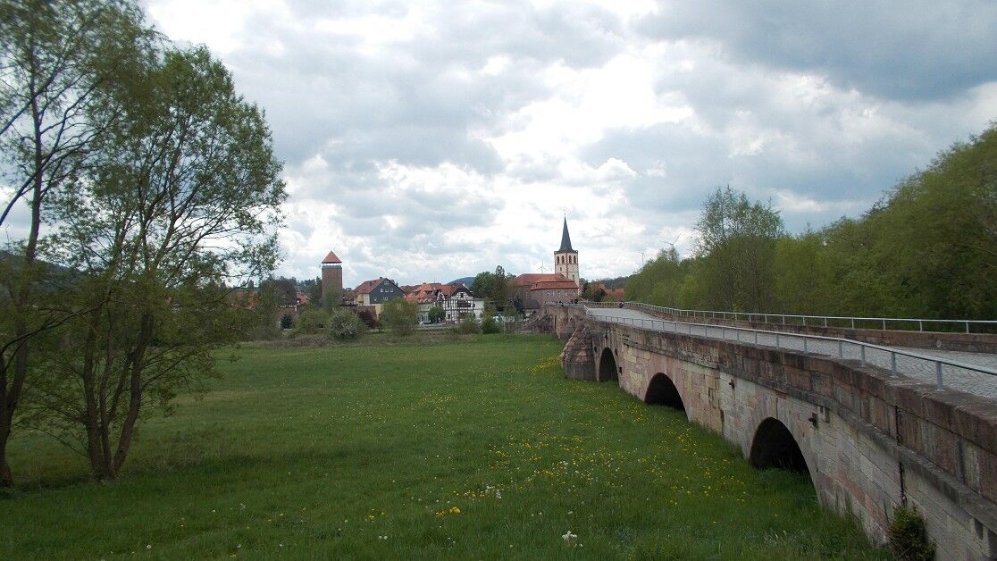
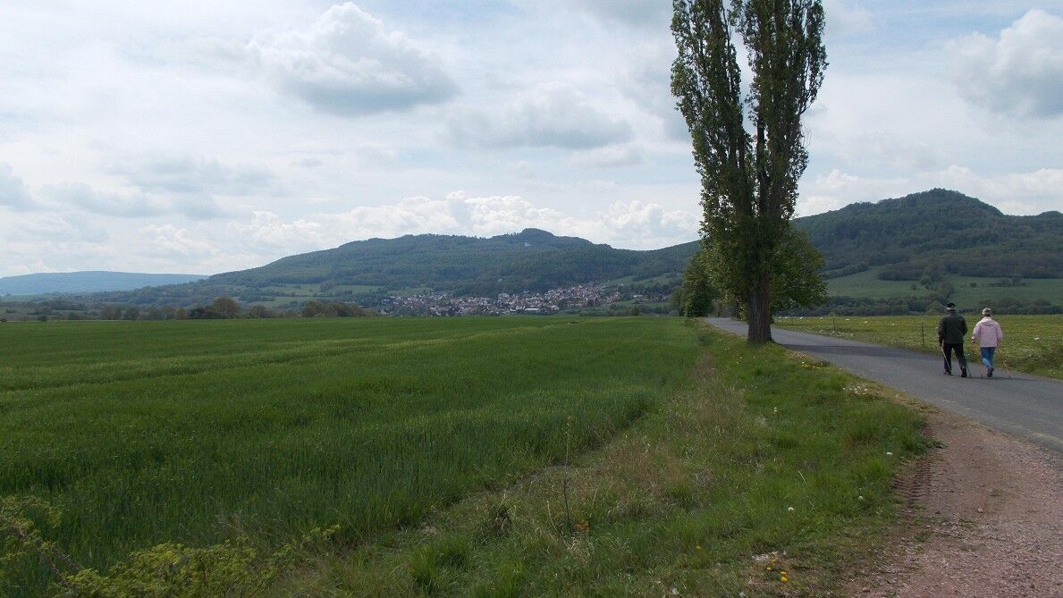
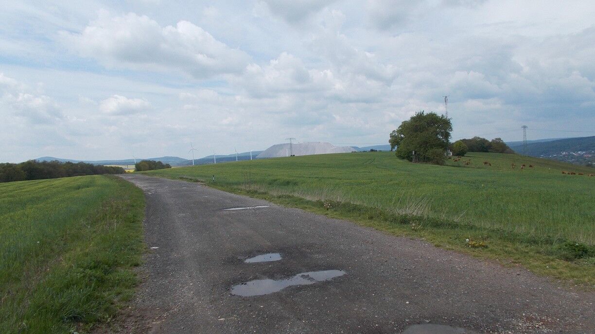
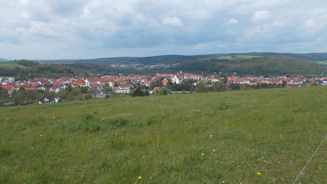
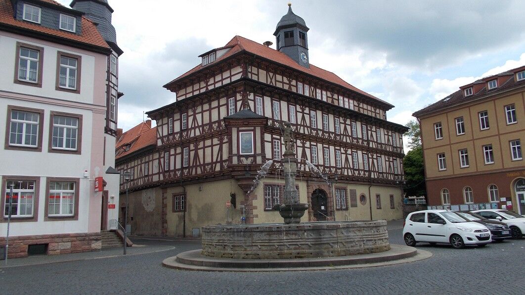
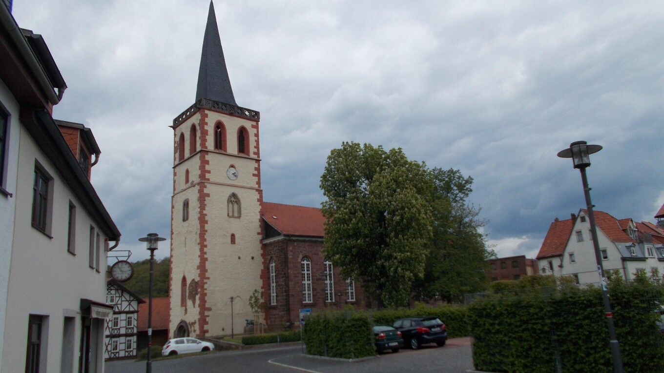
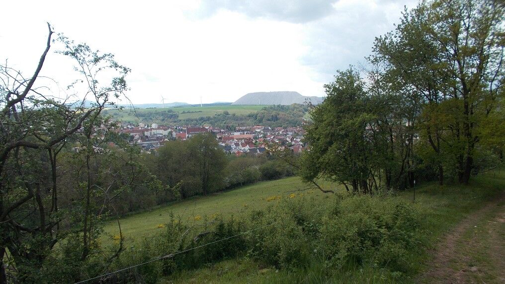
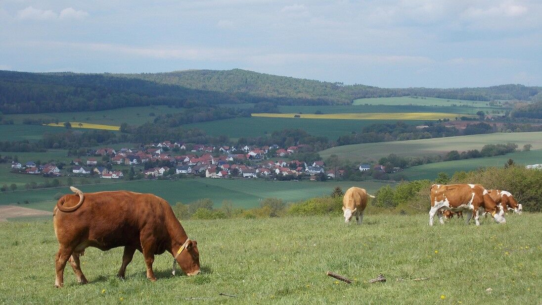
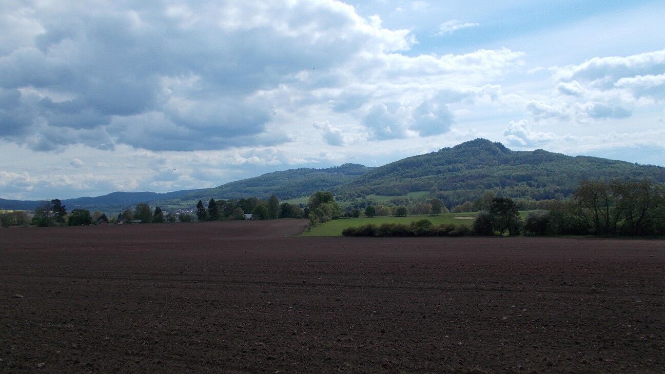
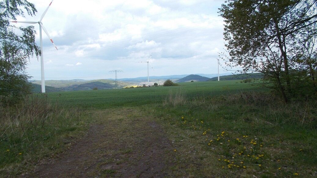
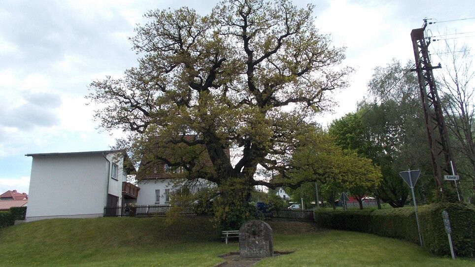

The hike starts in the center of town at the village lime tree, where there is also parking. You go up the village street and shortly after turn right into Steinerne Gasse. This path leads us to Martinrodaer Eck and a paved road. Follow this road to Hedwighof. Along the way, you have a beautiful view of Dietrichsberg and Öchsenberg, as well as the village of Völkershausen, which was severely affected by the 1989 earthquake. After Hedwighof, it goes downhill to Vacha. From afar, you can look towards Hessen and see the potash mine of K+S. Once in Vacha, the path leads through the historic town center to the historic bridge. Then you turn right and leave the town again (trail marking Werra-Burgen-Steig). It returns on a different path back to Hedwighof. Once at the top, turn left and head towards Dorndorf. Upon reaching the Dorndorf colony, pass the Gerichtseiche towards the town center. At the small Felda river, turn right and follow the bike path back to Dietlas to the starting point.
Áno
Áno
Sturdy footwear.
no safety instructions
Parking at the village lime tree
Visit to Wendelstein Castle, which houses a museum.
Obľúbené výlety v okolí
-
4,0
Thuringian long-distance cycle routes - 02 - Werra Valley Cycle Path - Stage 4: Bad Salzungen → Eisenach
strednáDiaľková cyklotrasa 77,0 km -
Circular hike - Frauensee - Thuringian Forest
svetloTuristika 8,90 km -
Hike - The freedom of the storks - Thuringia/Hesse
svetloTuristika 16,8 km -
Werra Wasser Wandern 4: Bad Salzungen - Vacha
strednáKajak / Kanu 21,5 km -
Long-distance hiking trail - Werra Castle Trail X5 - From Fehrenbach to Hann. Münden
ťažkédiaľková pešia trasa 386,9 km -
Werra Water Hiking 5: Vacha - Berka/Werra
strednáKajak / Kanu 23,5 km -
Thuringian long-distance cycle routes - 02 - Werra Valley Cycle Path
ťažkéDiaľková cyklotrasa 314,3 km -
Circular hike to Krayenburg
strednáTuristika 15,0 km -
Circular hike - city route - Bad Salzungen
svetloTuristika 9,74 km -
Werra Burgen Steig X5 Dietlas to Gerstungen
ťažkéTuristika 33,0 km
Turistika a stopovanie


Nenechajte si ujsť ponuky a inšpiráciu na ďalšiu dovolenku
Vaša e-mailová adresa bol pridaný do poštového zoznamu.


