



Thuringian Sea | Lake Path (approx. 11 km)

Úroveň náročnosti: T1


The route begins at the Thuringian Sea Tourist Information in Saalburg-Ebersdorf (Saalburg district) and the nearby Saalburg ship dock, directly on the Thuringian Sea. Here your little adventure starts...
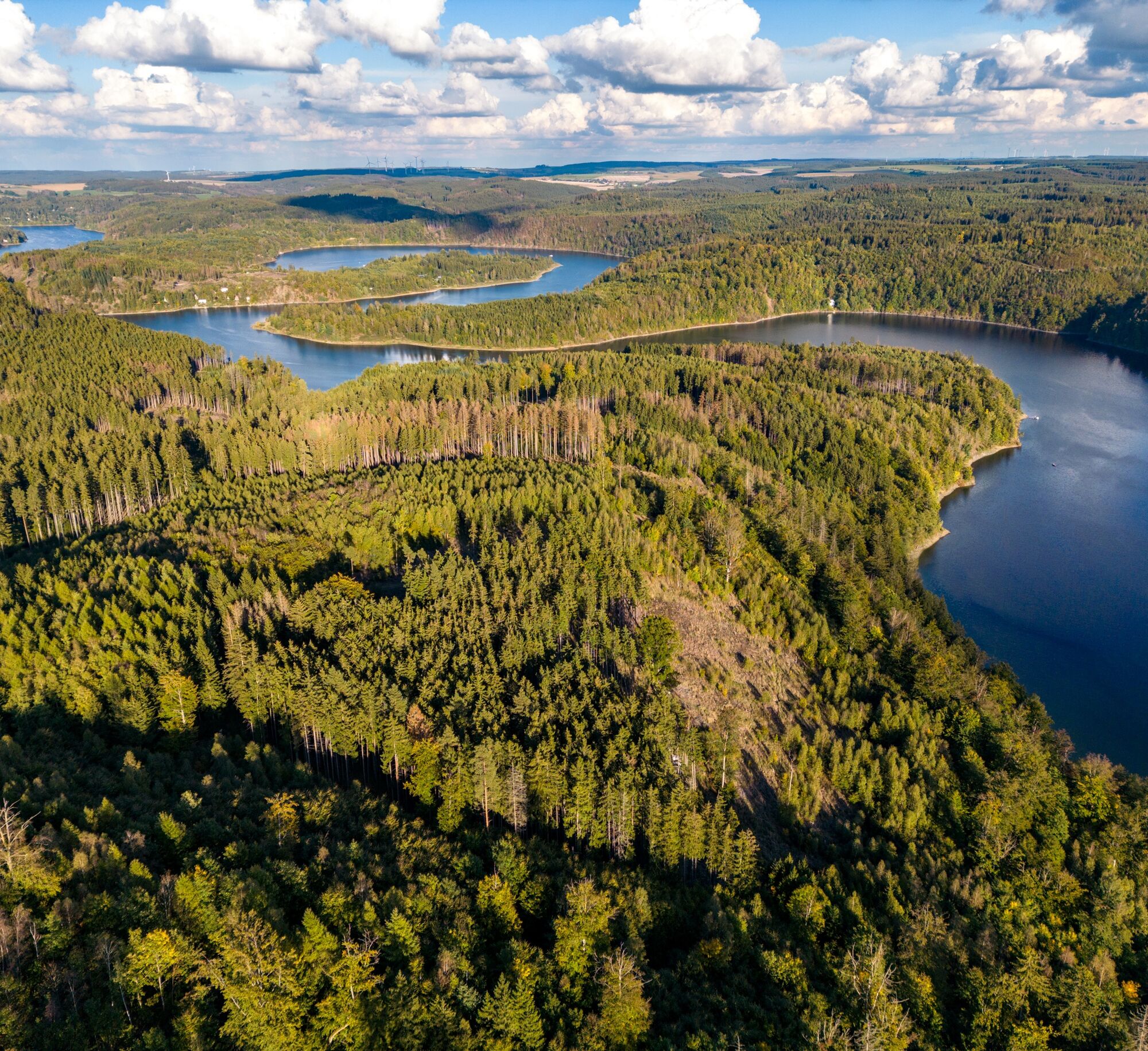
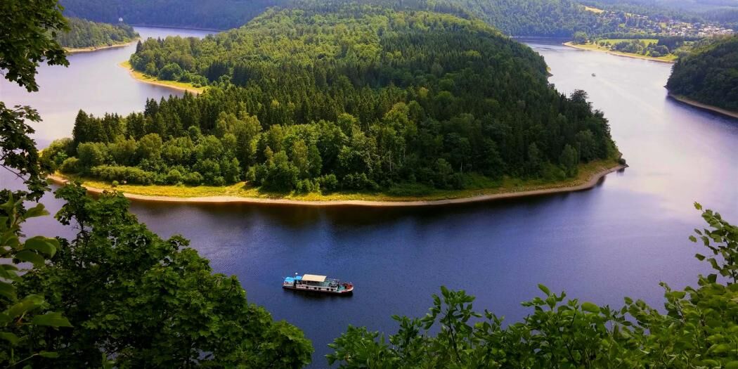
The route begins at the Thuringian Sea Tourist Information in Saalburg-Ebersdorf (Saalburg district) and the nearby Saalburg ship dock, directly on the Thuringian Sea. Here your little adventure starts with a special stage: instead of walking off, you board the passenger ship. As the ship leaves the shore, it's time to lean back, breathe deeply, and enjoy. The light breeze, the sparkling waves, and the view of the forested slopes all around make this passage the first highlight of the day. After just a few minutes, vacation mood spreads – this is what a natural break feels like.
After about 45 minutes, the ship docks at the foot of Heinrichstein. Here begins the hike back to Saalburg – varied, close to nature, and full of beautiful moments.
Landing at the Seeblick viewpoint (Heinrichstein ship dock), the hike starts directly on the shore of the Bleiloch reservoir towards Saalburg.
___
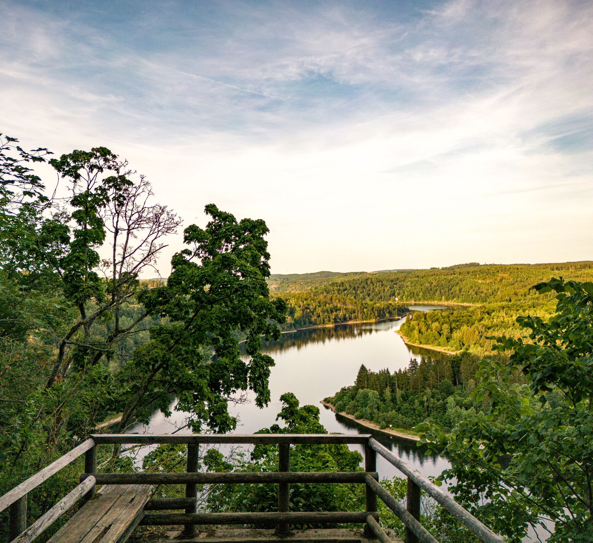
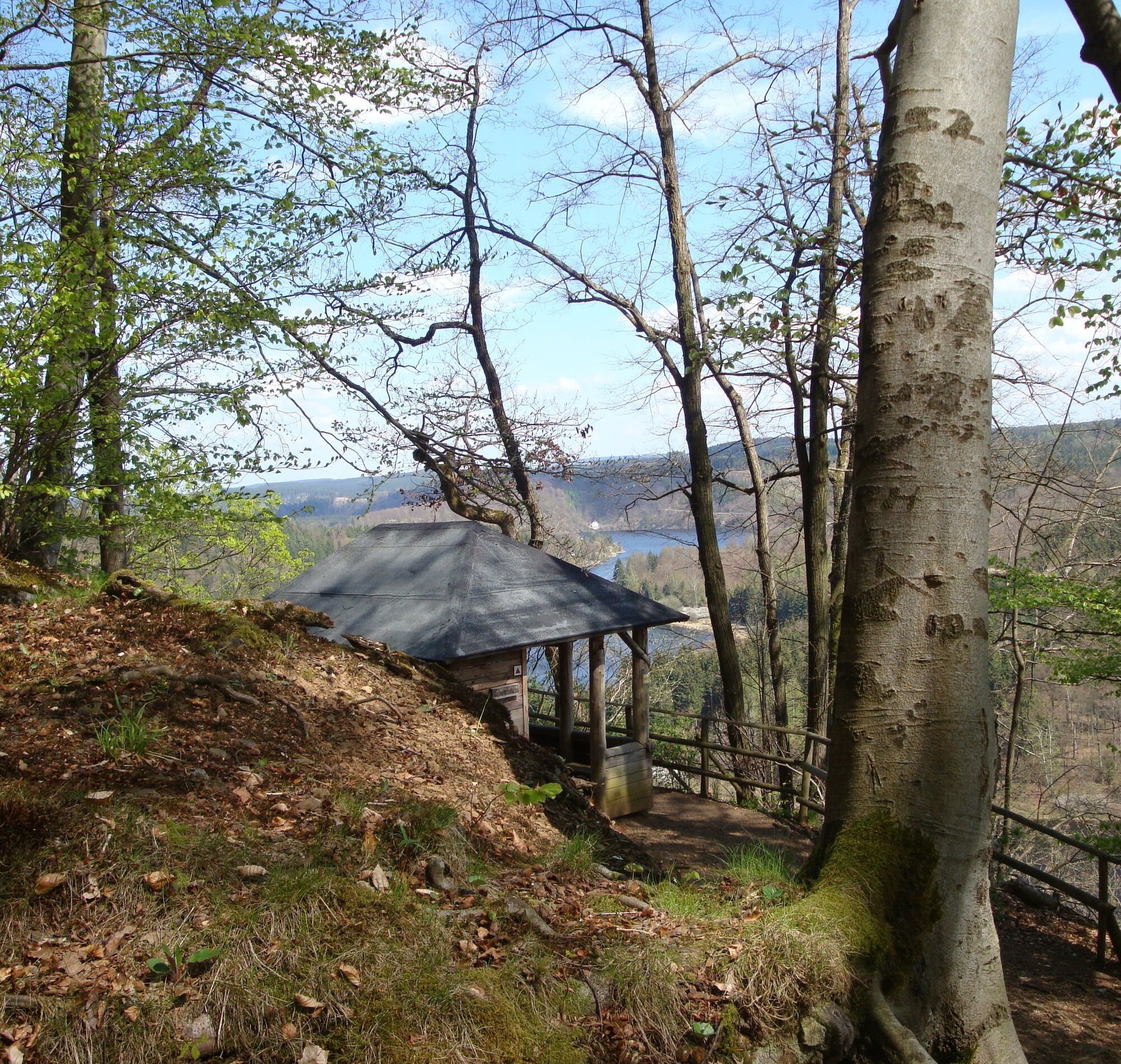
Tip: For hikers with time and energy for the steep climb, the detour right at the beginning in the opposite direction to the Heinrichstein viewpoint is worthwhile: from the rock plateau, there is a wide view over the Thuringian Sea to the Saale loop – water, dense forest, and the silhouettes of the surrounding heights paint a picture straight out of a hiking catalog. Those who want can have their first rest here and let their soul dangle.
___
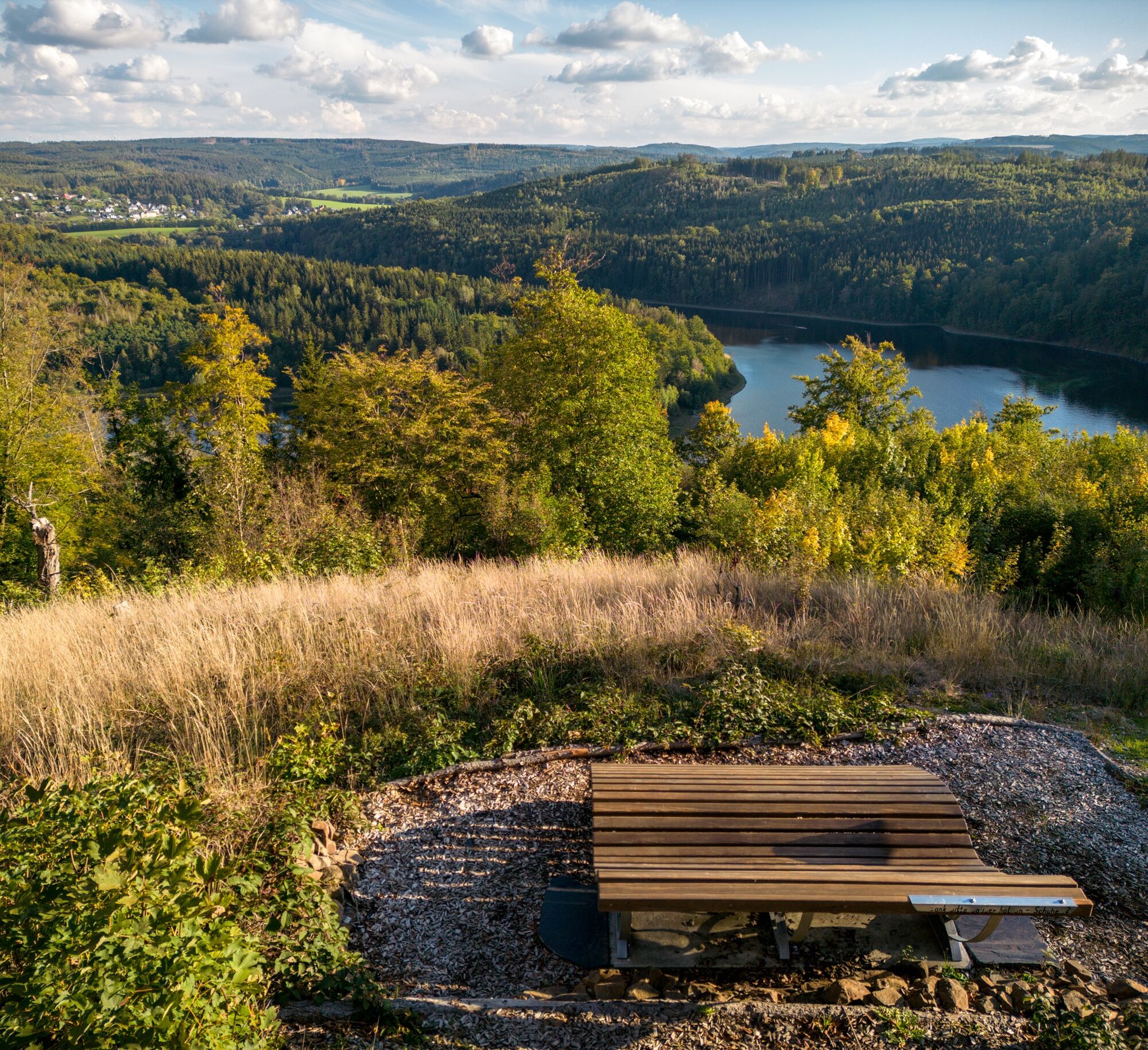
At the Seeblick viewpoint you find a small, fine place with a bench and an unobstructed view of the southern shore and the Saale loop. Here you feel how close water and forest meet, how harmoniously nature and humans complement each other.
After a few minutes of walking in the forest and along the shore of the Thuringian Sea, you reach the Ruhebene – a Saale shore plateau where the former Ruhmühle was located (today a flooded area and newly rebuilt in the Ebersdorf district).
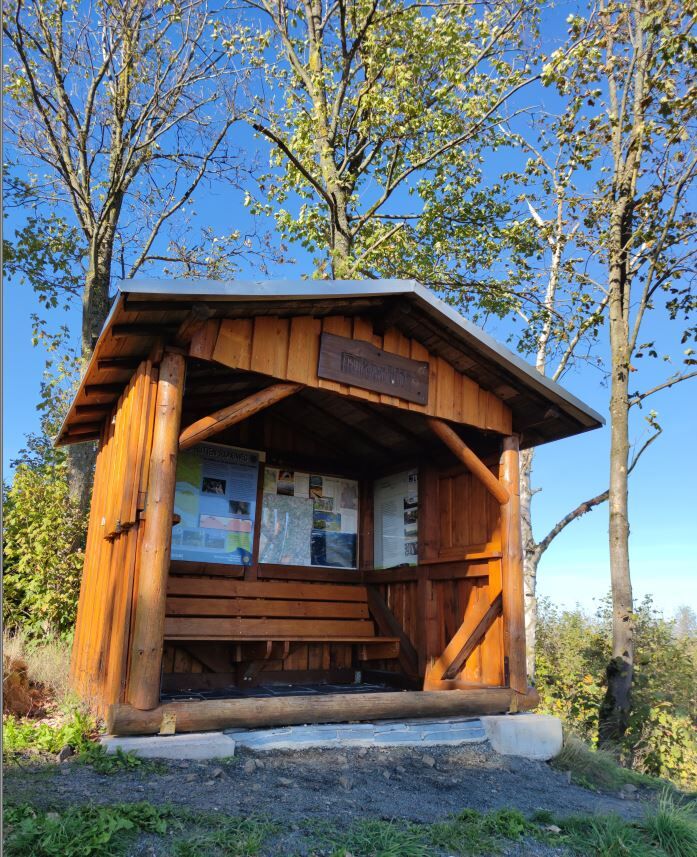
From here the path winds uphill to the Blaupunkt, a striking viewpoint where on sunny days the blue of the sky is reflected as the blue of the water. Now the landscape changes: through an idyllic valley with a former hammer mill, the path widens, and you hike out of the valley through Zoppoten, a dreamy but surprisingly lively village in the heart of Saalburg-Ebersdorf.
Shortly after you reach the Luchsloch – a legendary place, mysteriously lying in the shadow of the trees and named, according to tradition, after the old lynx dens located below in the mountainside. Were there really lynxes here once? Maybe. What is certain is that the atmosphere here is breathtaking. If you are quiet, you only hear the wind, birds, and maybe a rustling in the undergrowth and experience a wide view into the Saale valley.
The next section leads you gently uphill mostly with views of the Thuringian Sea to Pöritzsch. From here you can once again enjoy wide views over the Thuringian Slate Mountains – ideal for a few last photos before tackling the final section to Saalburg. You now hike back toward the lake along a meadow path. With every step, you get closer to your goal – and eventually the view opens again on the water and the Saalburg district on the sunny slope of the Thuringian Sea. The circle closes where it all began: at the ship dock and the Thuringian Sea Tourist Information of Saalburg-Ebersdorf.


sturdy footwear
rain gear
drink supply & provisions
first aid kit
GPS device or smartphone
Pay attention to the typical dangers of the forest! Walking is at your own risk! We wish you a relaxing and eventful hike! The trail requires sturdy footwear. You will partly hike on narrow paths. Avoid stepping on moss-covered stones and rocks due to the risk of slipping, and watch out for deadwood, branches, and fallen trees.
How do you get to Saalburg-Ebersdorf and Germany's largest reservoir?
Arrival by car: > simply follow the A9 (Berlin - Munich) to the exit 'Schleiz' > head toward Saalburg (5-10 min) and you are in Saalburg-Ebersdorf
Arrival by bus and train:
Train station in: Bad Lobenstein. Buses run regularly between Schleiz and Bad Lobenstein. Take bus line 610 to Saalburg.
free parking spaces at the Saalburg sports field (Google Nav)
paid parking spaces at the market and Burgplatz Saalburg (Google Nav)
T1
Tour portal Saalburg-Ebersdorf: In the tour portal of the city of Saalburg-Ebersdorf you will find numerous further route tips for the region around Saalburg-Ebersdorf and the Thuringian Sea.
Tourist information: The Thuringian Sea Tourist Information is available to you from Easter to the autumn holidays 7 days a week – contact us!
Phone: 036647-29080 / Email: tourismus@saalburg-ebersdord.de
Hiking taxi: You want to plan your route 100% flexibly? Then start or end your route with a transfer by our hiking taxi (daily from 8 am to 8 pm in season). Here is all information about the hiking taxi at the Thuringian Sea.
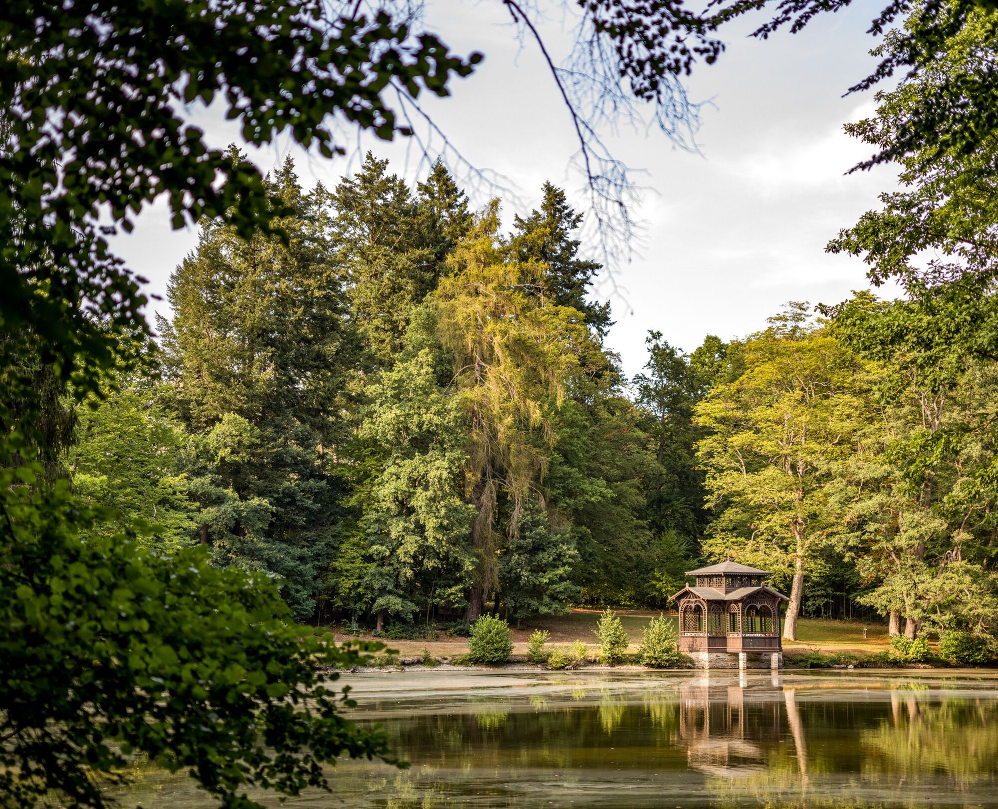
If the route is not long enough, you can reach from the Heinrichstein ship dock as a detour in about 30 minutes the approximately 50ha large Ebersdorf Castle Park in English style. There you can also catch the Thuringian Sea bus line 610 back to Saalburg. A shortened return trip to Saalburg is also possible with the same bus line via stops in Zoppoten and Pöritzsch.
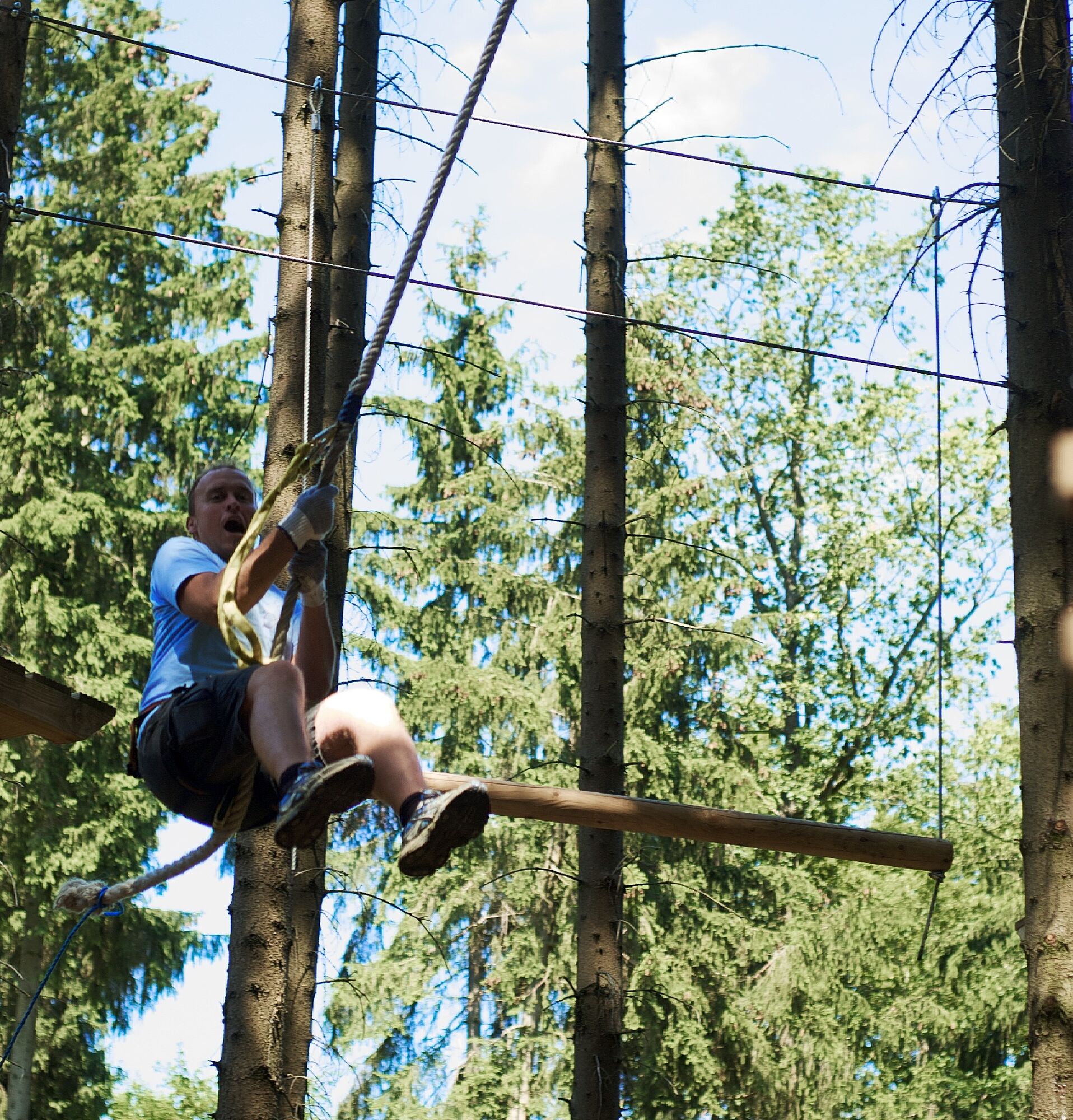
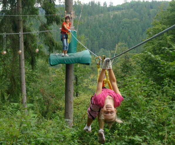
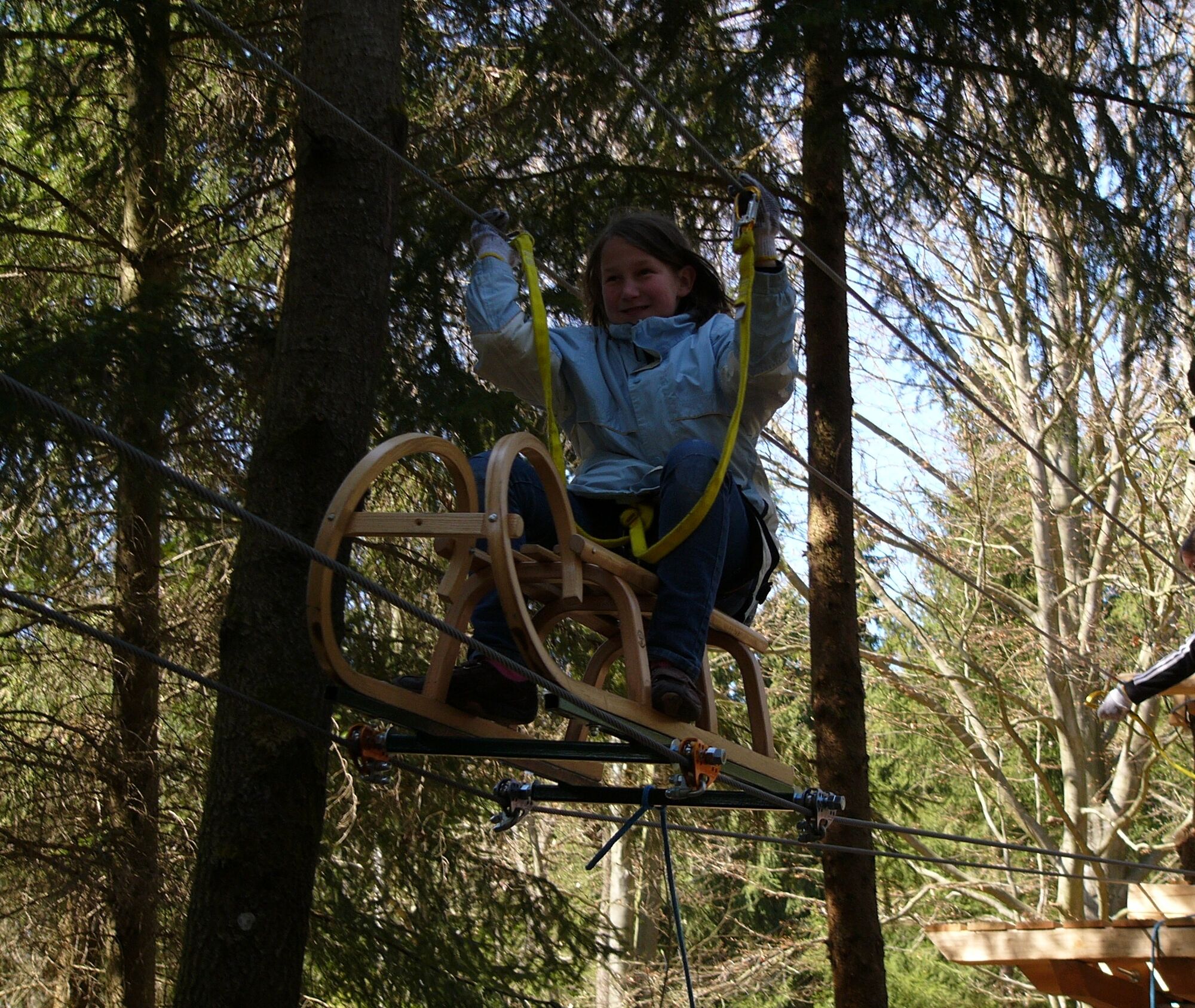
Above the Seeblick ship dock is the Frankenwald View with Eagle Bench. This viewpoint is also worth a detour. Shortly before returning to Saalburg is the Saalburg Climbing Forest.
It is advisable to pack enough water and provisions for the hikes at the Thuringian Sea. Here you can enjoy absolute peace and breathtaking views in nature but have very limited dining options.
Hiking taxi: You want to plan your route 100% flexibly? Then start or end your route with a transfer by our hiking taxi (daily from 8 am to 8 pm in season). Here is all the information about the hiking taxi at the Thuringian Sea.Obľúbené výlety v okolí
-
4,0
Höllental über Hirschsprung und unten wieder zurück
strednáTuristika 9,61 km -
4,5
Hirschberg Primeval Forest Trail - Thuringian Primeval Forest Trails
svetloTuristika 2,84 km -
5,0
Circular route - Schönblickweg - Harra
strednáTuristika 7,80 km -
5,0
Saalepfad - Circular hike at the Green Belt
ťažkéTuristika 34,8 km -
Rund um Schloss Burgk
svetloTuristika 7,04 km -
5,0
Von Saaldorf zum Marienstein
svetloTuristika 9,41 km -
4,0
Rund um die BleilochTalsperre - Saalburg Beach und zurück
strednáE-MTB 20,1 km -
Hike - Rennsteig - Stage 8 - From Brennersgrün to Blankenstein
strednáTuristika 20,8 km -
5,0
Marienstein in Saaldorf - circular hiking route - Bad Lobenstein
strednáTuristika 5,67 km -
5,0
Circular hiking trail - Saale, Wisenta Valley and Plothengrund - Ziegenrück
strednáTuristika 20,6 km
Turistika a stopovanie


Nenechajte si ujsť ponuky a inšpiráciu na ďalšiu dovolenku
Vaša e-mailová adresa bol pridaný do poštového zoznamu.


