


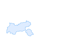

Gerlos-Schönachtal-Keeskarscharte-Zittauer Hütte-Finkau - Nr.511
Fotografie našich používateľov
-
 © Jaap RozeboomVytvorené dňa 17.03.2026
 -
 © Steffen NebeVytvorené dňa 11.02.2026
 -
 © Melissa PosseltVytvorené dňa 30.12.2025
 -

 © Slobodan VuckovicVytvorené dňa 15.09.2025
 -
 © Slobodan VuckovicVytvorené dňa 15.09.2025
 -
 © Slobodan VuckovicVytvorené dňa 15.09.2025
 -
 © B. L.Vytvorené dňa 01.09.2025
 -
 © Dirk He.Vytvorené dňa 01.09.2025
 -
 © Elias KronsederVytvorené dňa 18.08.2025
 -
 © Samantha VoermansVytvorené dňa 08.08.2025
 -
 © Samantha VoermansVytvorené dňa 05.08.2025
 -
 © Samantha VoermansVytvorené dňa 05.08.2025
 -
 © Norbert HerbigVytvorené dňa 02.07.2025
 -
 © Norbert HerbigVytvorené dňa 02.07.2025
 -
 © Norbert HerbigVytvorené dňa 02.07.2025
 -
 © Norbert HerbigVytvorené dňa 27.06.2025
 -
 © Norbert HerbigVytvorené dňa 27.06.2025
 -
 © Norbert HerbigVytvorené dňa 27.06.2025
 -
 © Norbert HerbigVytvorené dňa 27.06.2025
 -
 © Norbert HerbigVytvorené dňa 27.06.2025
 -
 © Norbert HerbigVytvorené dňa 27.06.2025
 -
 © Norbert HerbigVytvorené dňa 27.06.2025
 -
 © Norbert HerbigVytvorené dňa 27.06.2025
 -
 © Peter Hutter 1Vytvorené dňa 19.06.2025
 -
 © Peter Hutter 1Vytvorené dňa 19.06.2025
 -
 © Peter Hutter 1Vytvorené dňa 19.06.2025
 -

 © claudia jost 2Vytvorené dňa 29.05.2025
 -
 © Marco Sandfort-WesselsVytvorené dňa 25.07.2024
 -
 © Marco Sandfort-WesselsVytvorené dňa 25.07.2024
 -
 © Ralf UmmingerVytvorené dňa 17.07.2024
 -
 © Ralf UmmingerVytvorené dňa 17.07.2024
 -
 © Ralf UmmingerVytvorené dňa 17.07.2024
 -
 © Ralf UmmingerVytvorené dňa 17.07.2024
 -
 © Ralf UmmingerVytvorené dňa 17.07.2024
 -
 © Ralf UmmingerVytvorené dňa 17.07.2024
 -
 © Ralf UmmingerVytvorené dňa 17.07.2024
 -
 © Gerrit van der LindeVytvorené dňa 08.07.2024
 -
 © Gerrit van der LindeVytvorené dňa 08.07.2024
 -
 © Gerrit van der LindeVytvorené dňa 08.07.2024
 -
 © Gerrit van der LindeVytvorené dňa 08.07.2024
 -
 © Gerrit van der LindeVytvorené dňa 08.07.2024
 -
 © Gerrit van der LindeVytvorené dňa 08.07.2024
 -
 © Gerrit van der LindeVytvorené dňa 08.07.2024
 -
 © Gerrit van der LindeVytvorené dňa 08.07.2024
 -
 © Gerrit van der LindeVytvorené dňa 08.07.2024
 -
 © Gerrit van der LindeVytvorené dňa 08.07.2024
 -
 © Gerrit van der LindeVytvorené dňa 08.07.2024
 -
 © Gerrit van der LindeVytvorené dňa 08.07.2024


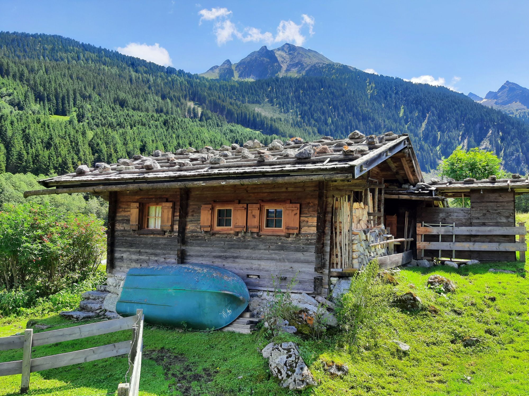


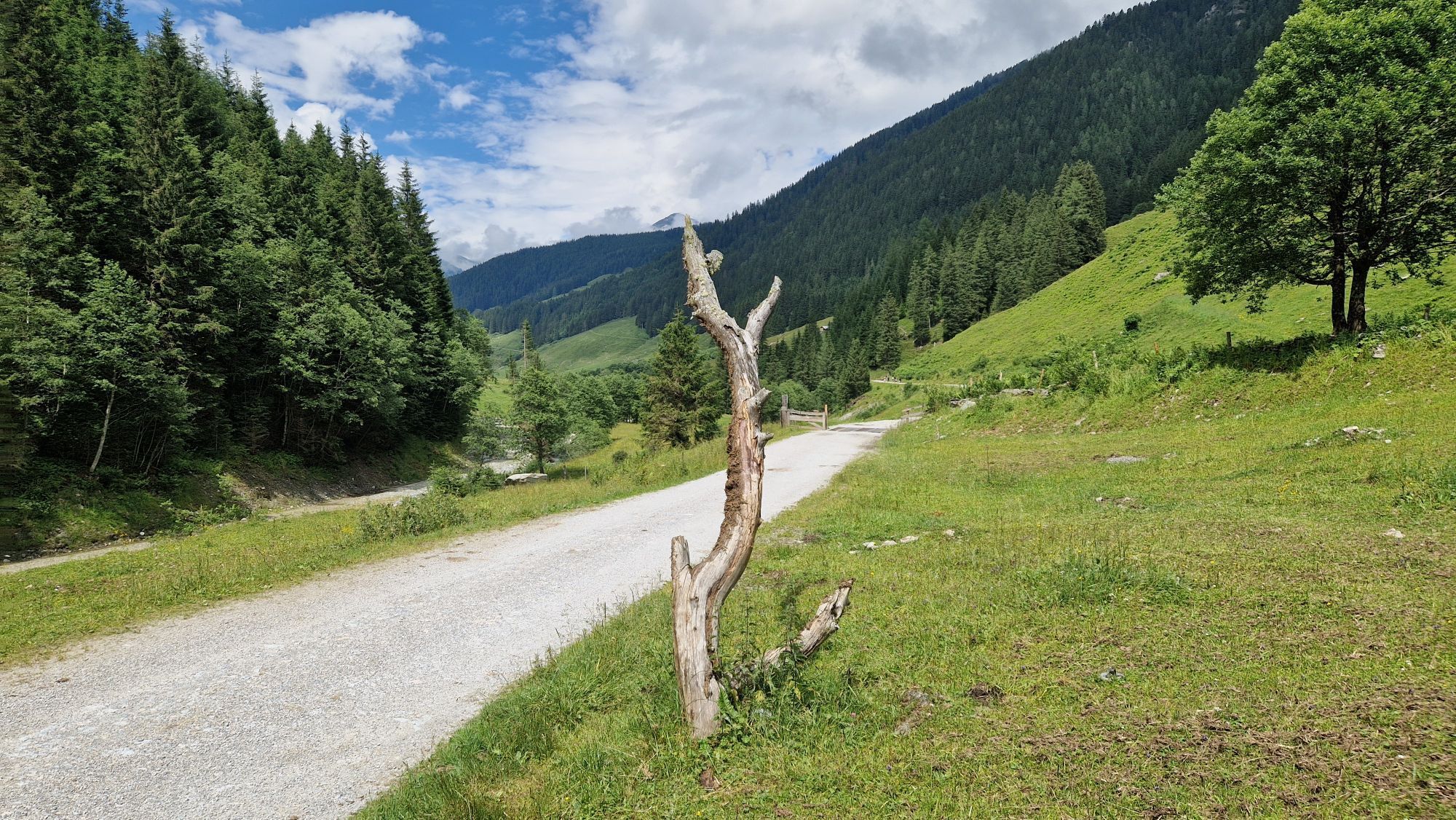

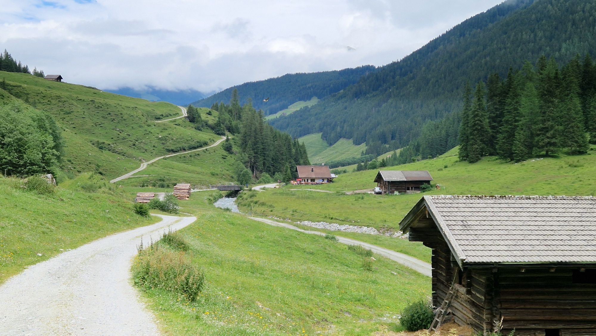

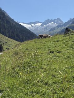
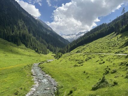
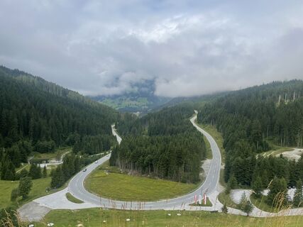
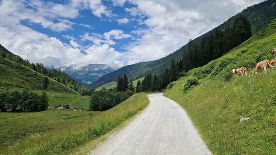
If you wish, you can do this tour in stages with an overnight stop at the Zittauer Hütte. Gerlos to the Schönach glacier approx. 3 hrs., from there on to the Keeskarscharte 4 ½ hrs. The refuge warden (a...
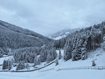
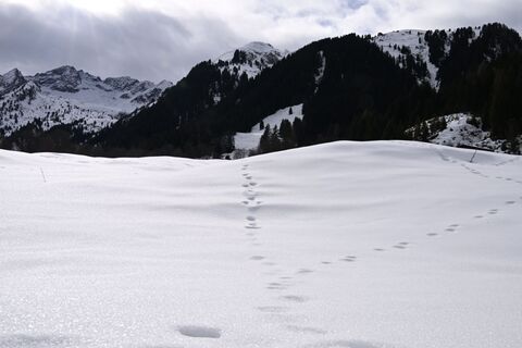
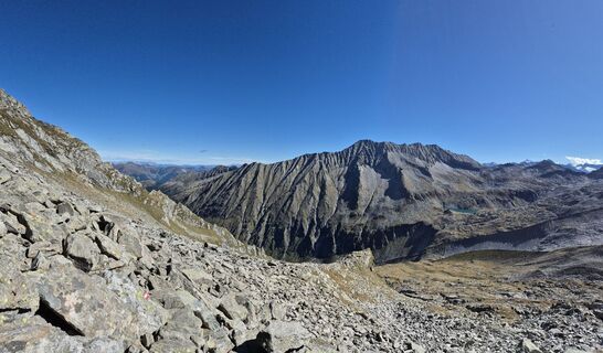
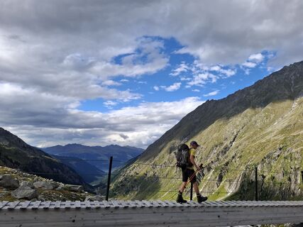
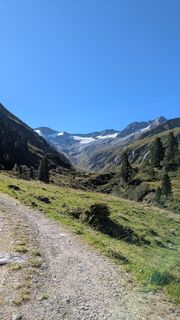
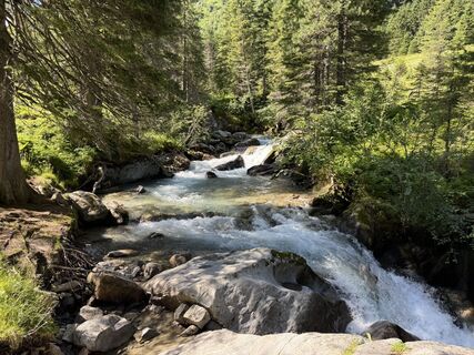
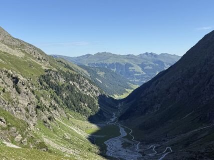
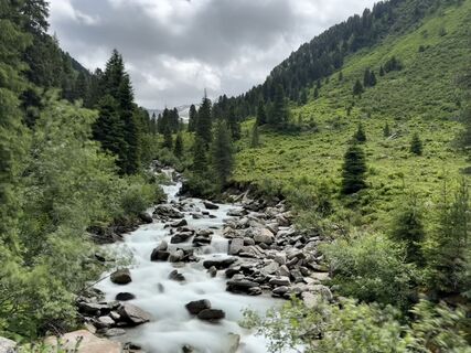
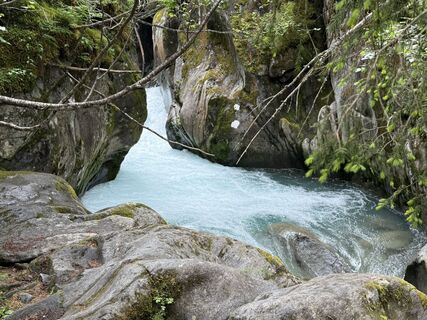
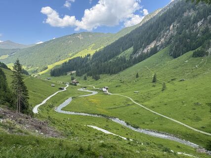
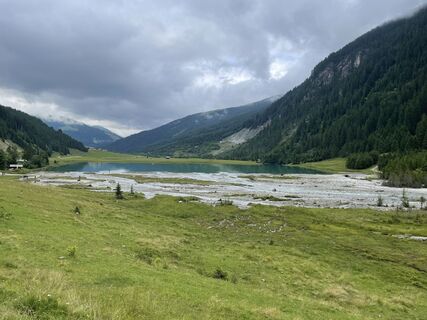
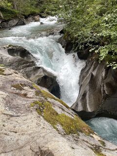
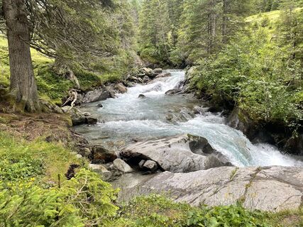
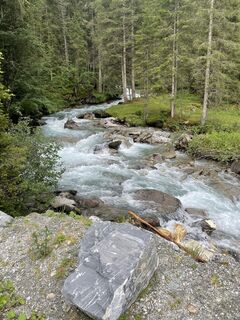
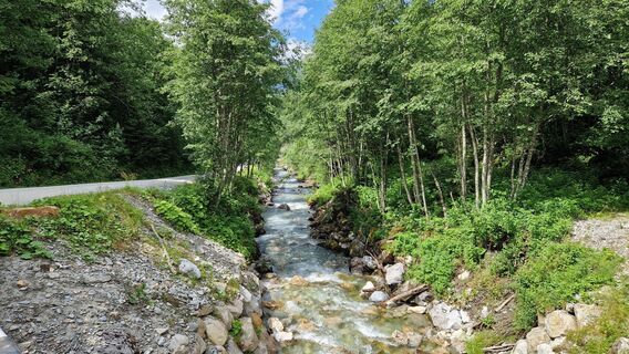
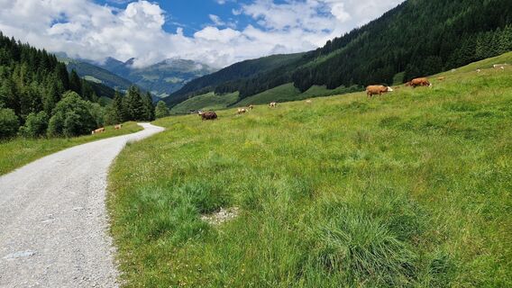
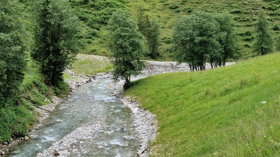
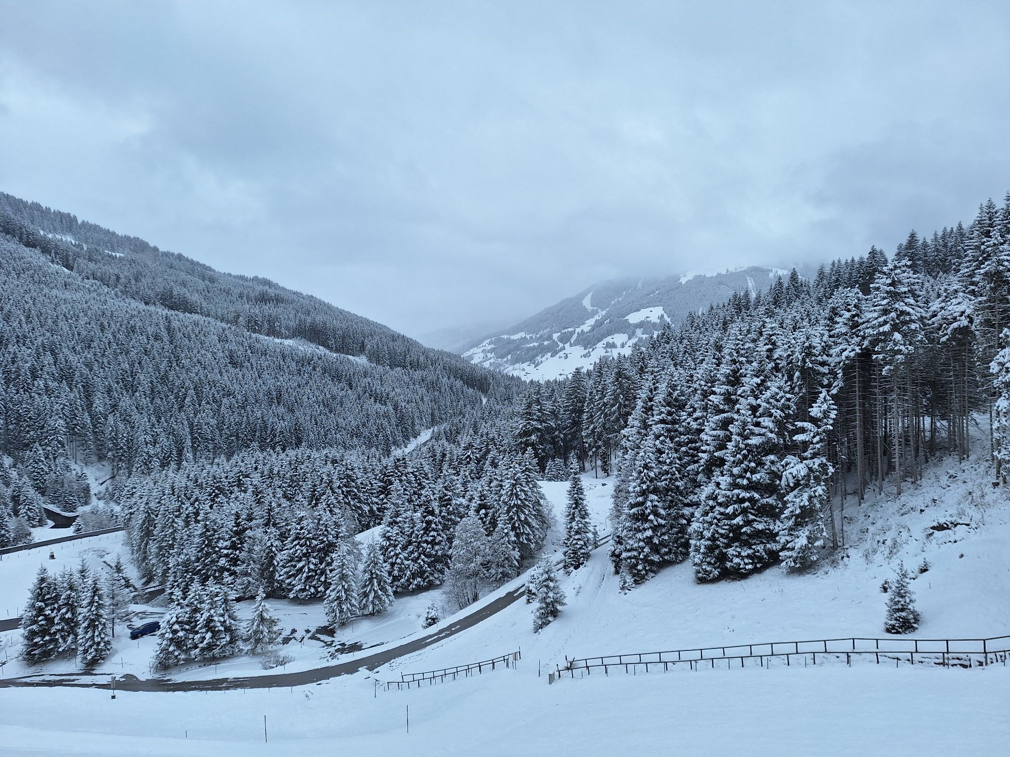
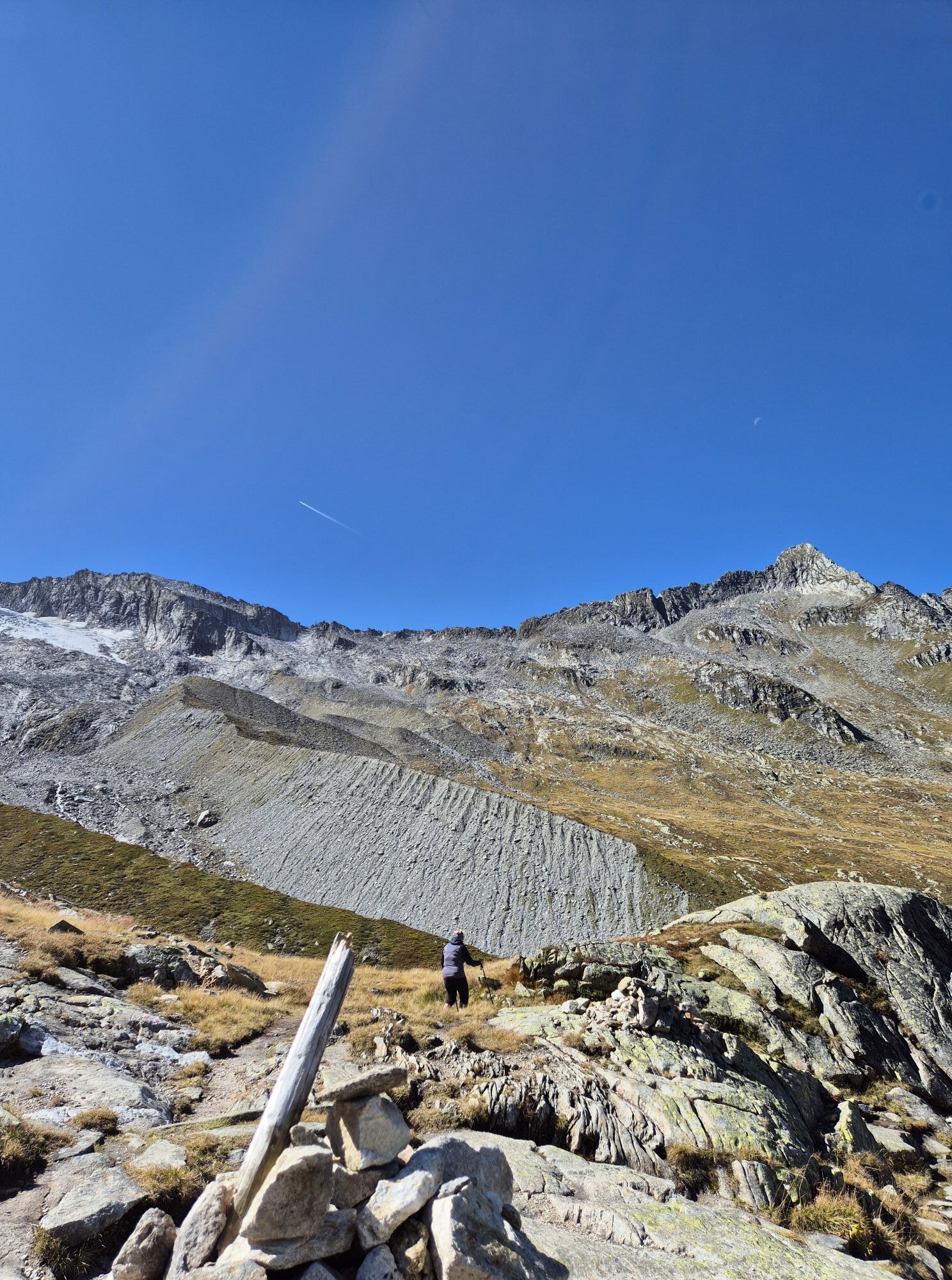
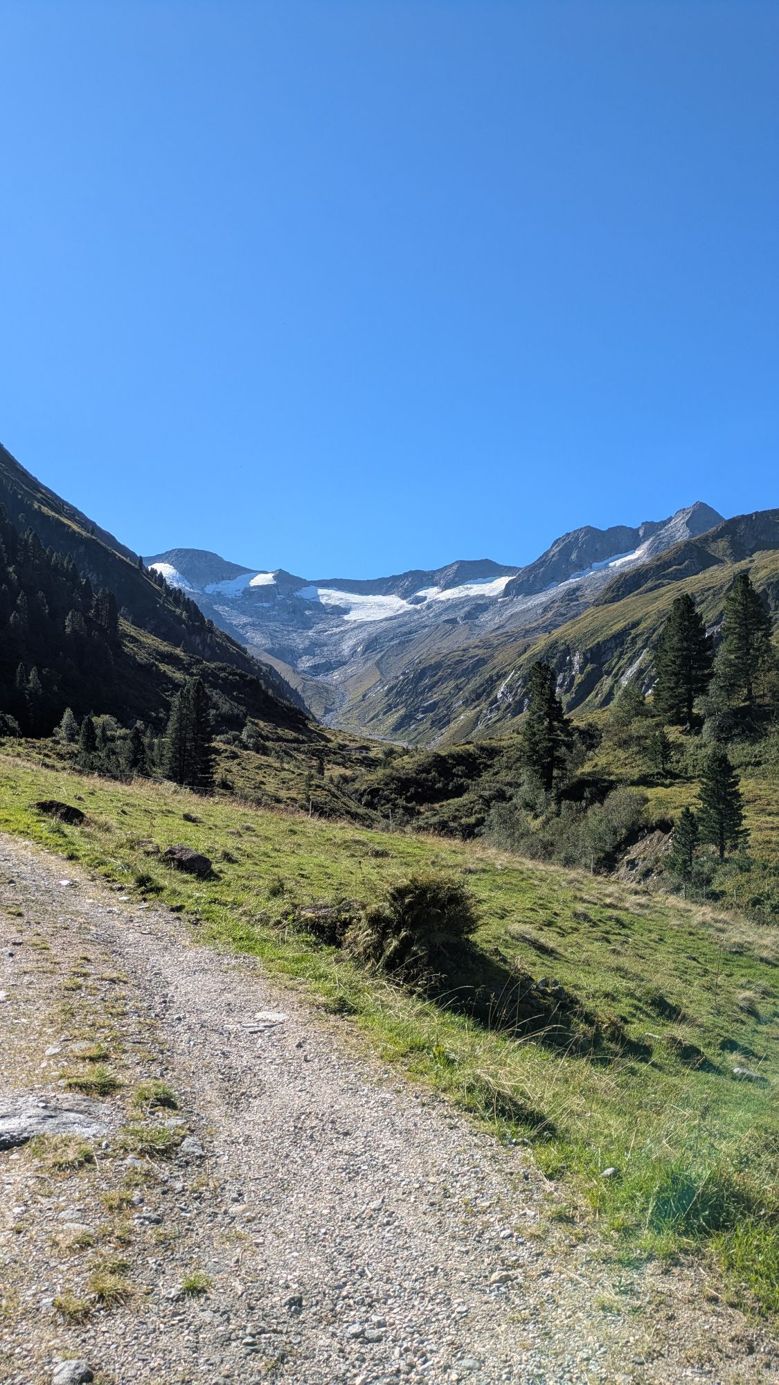
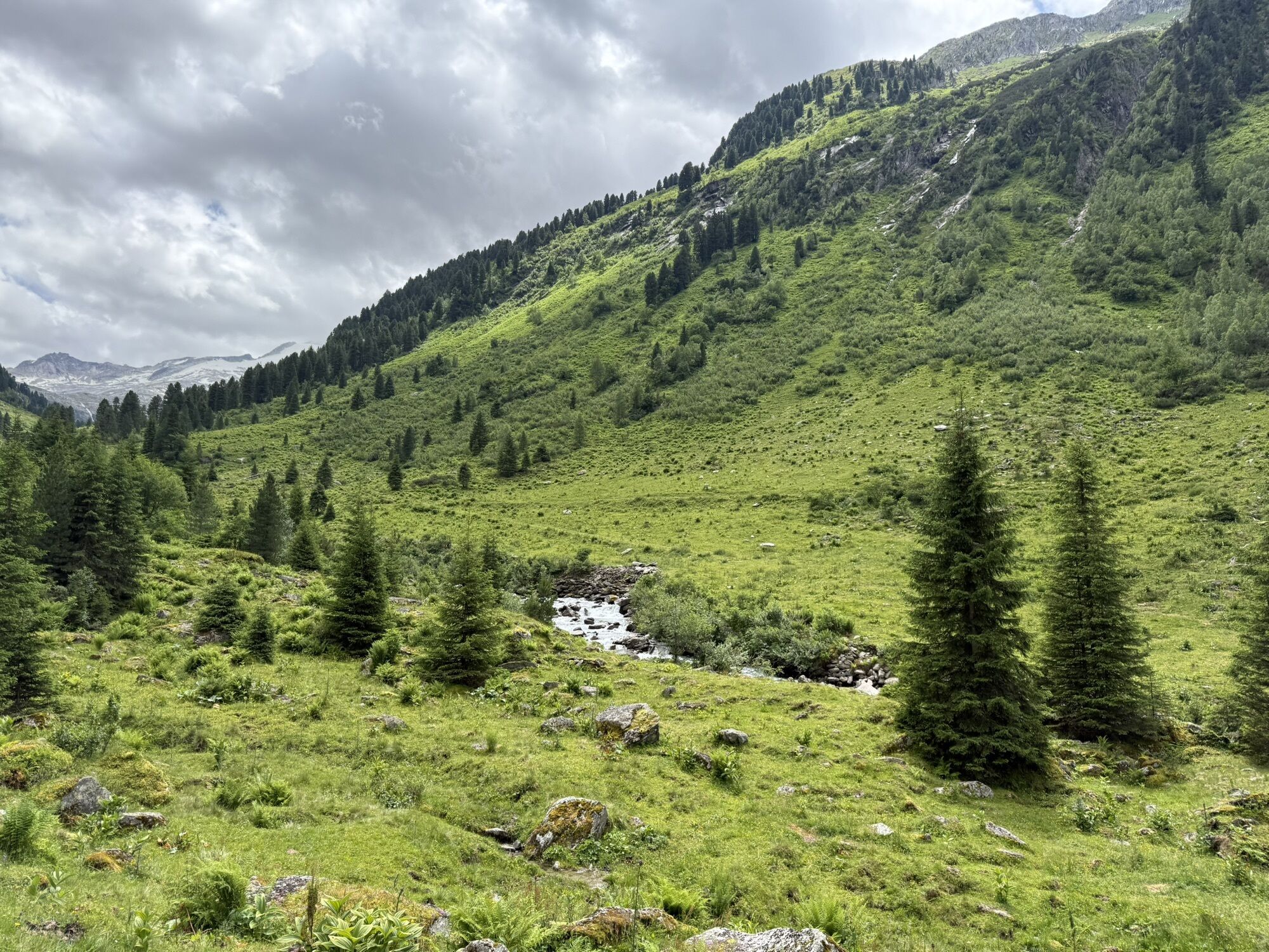
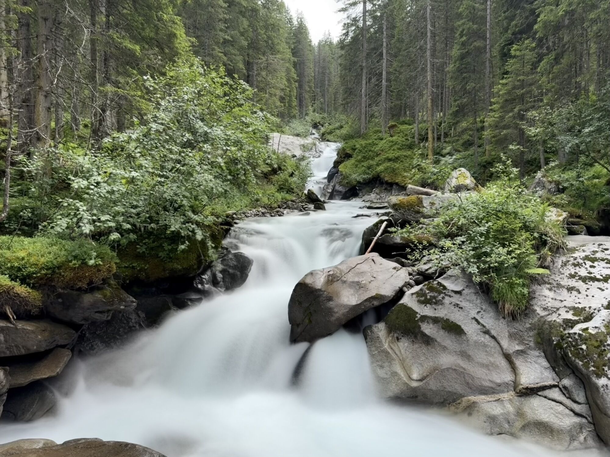
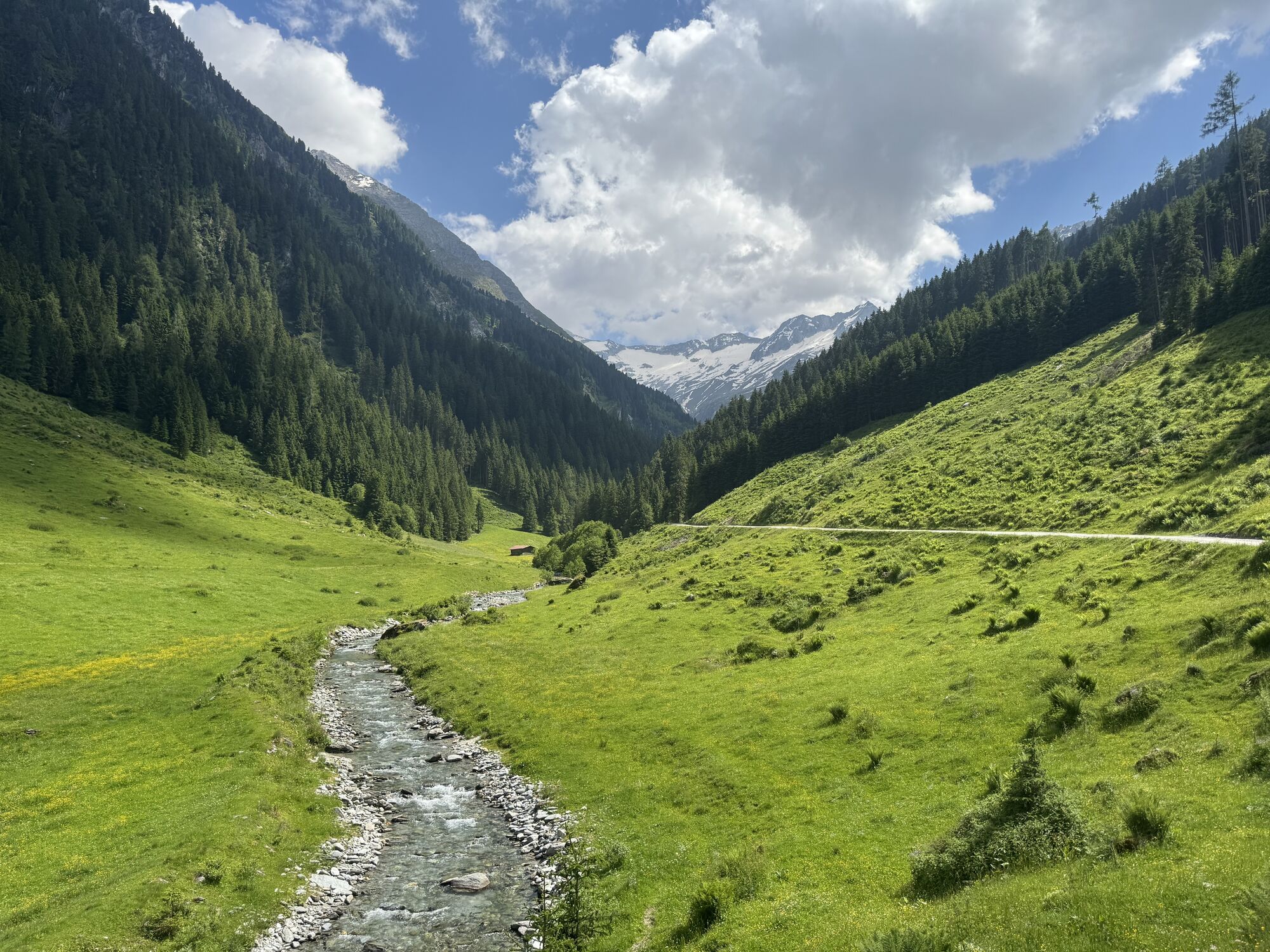
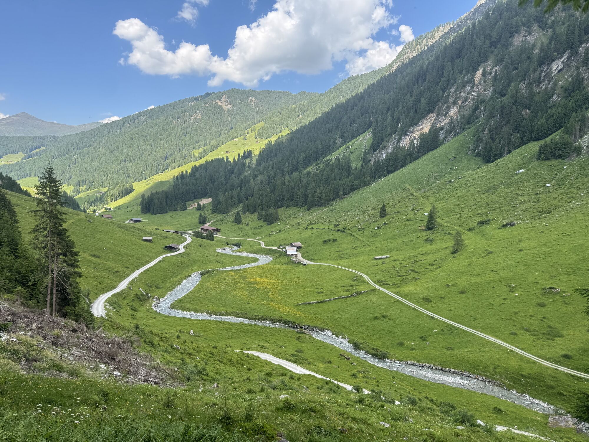
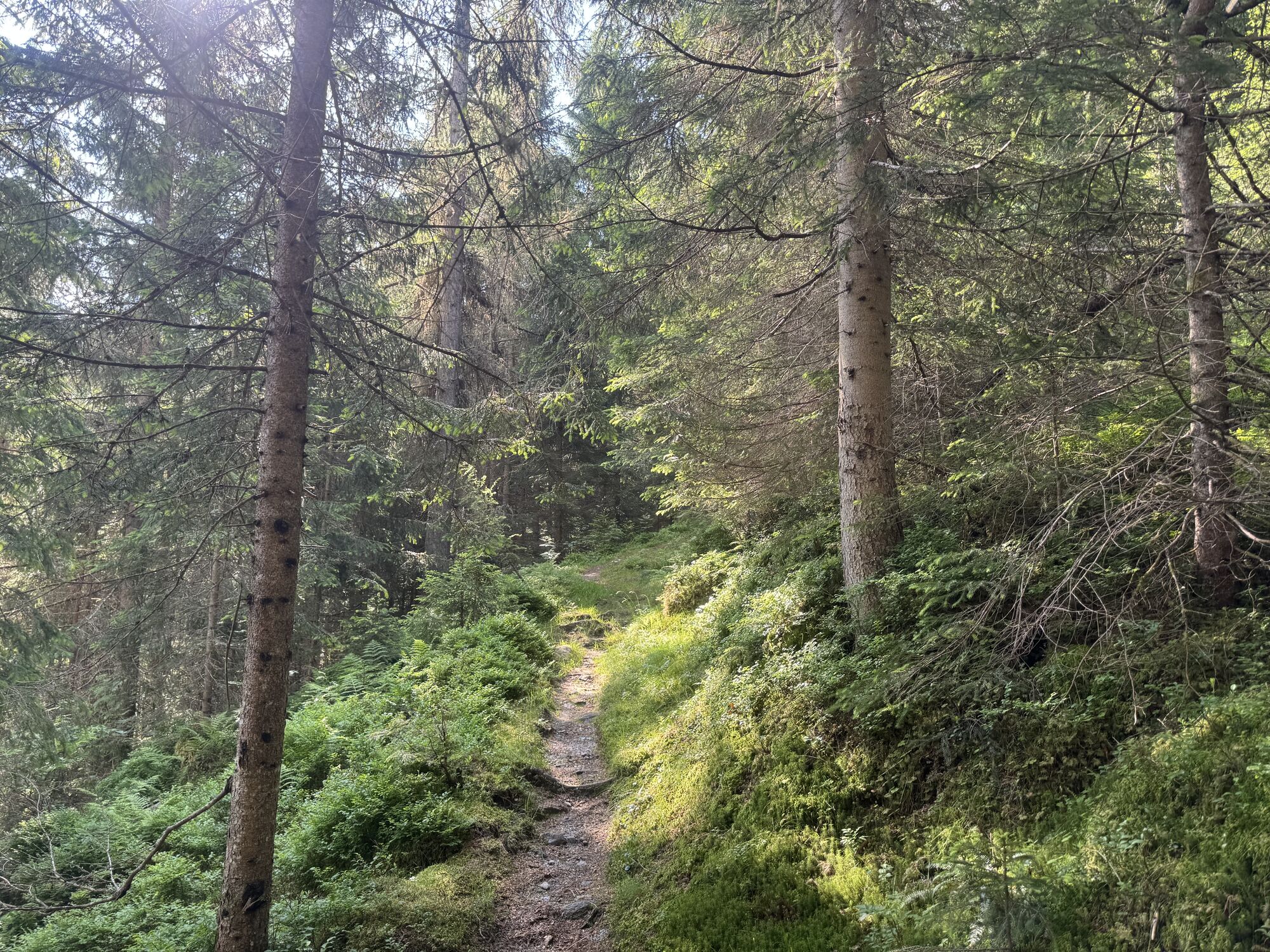
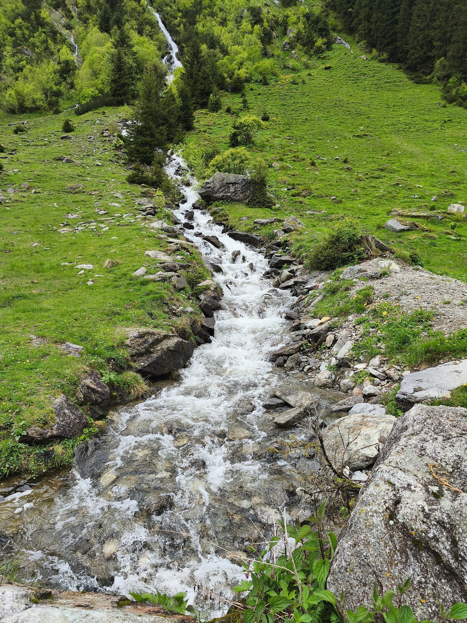
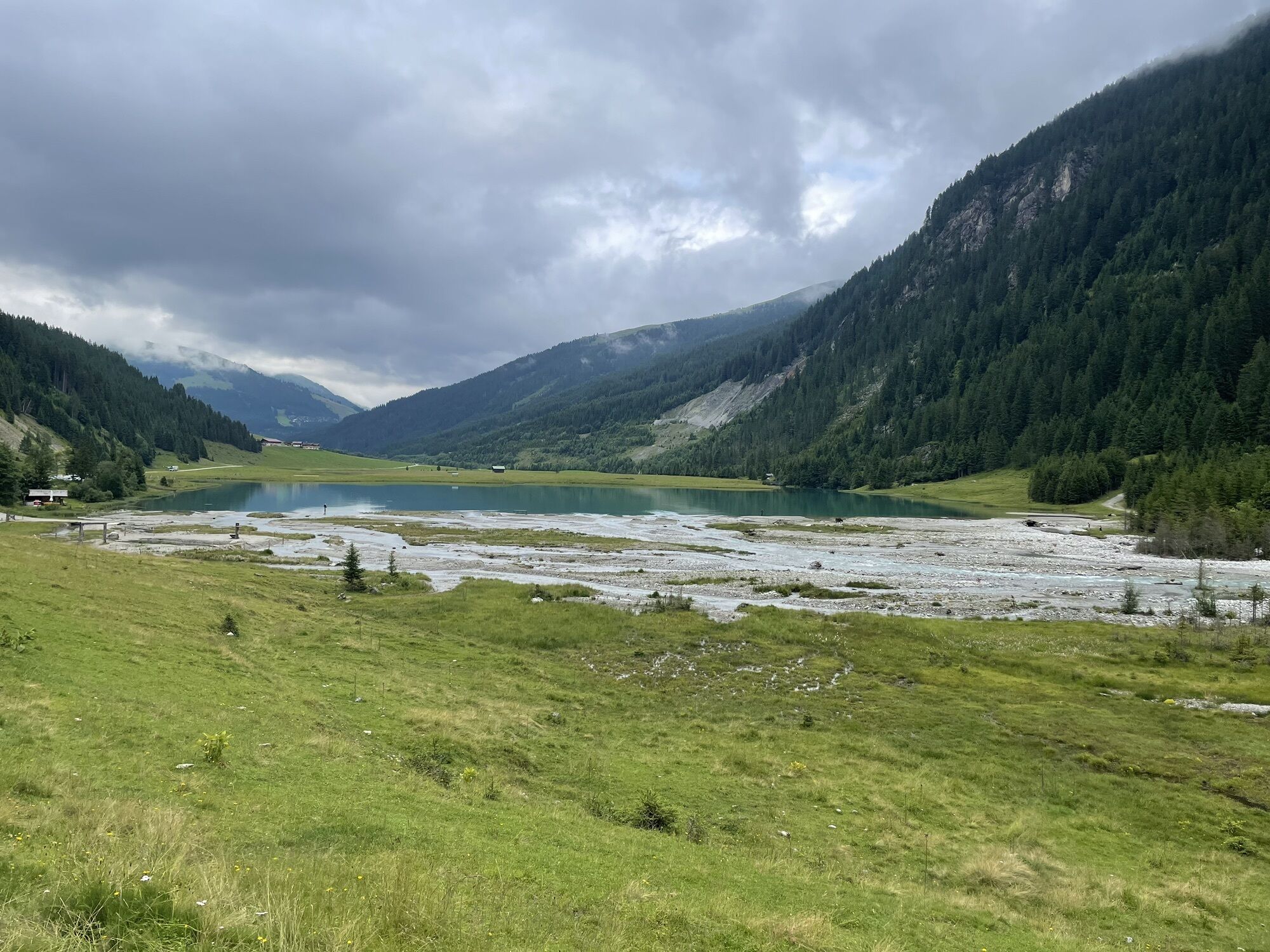
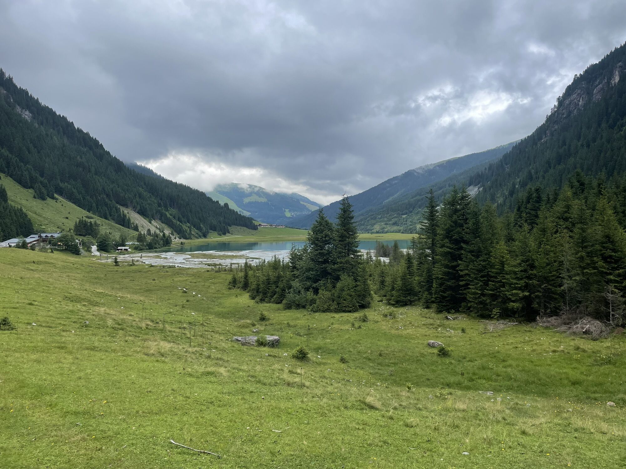
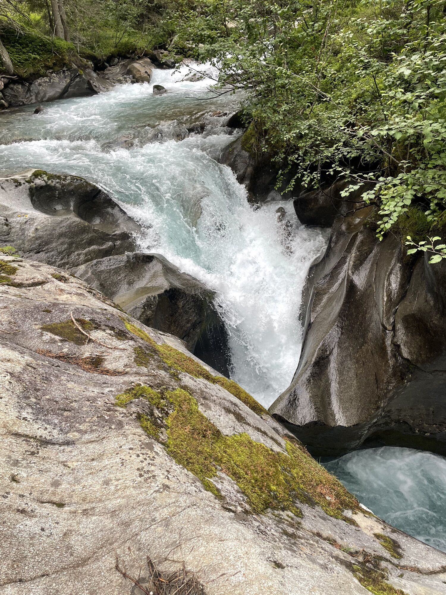
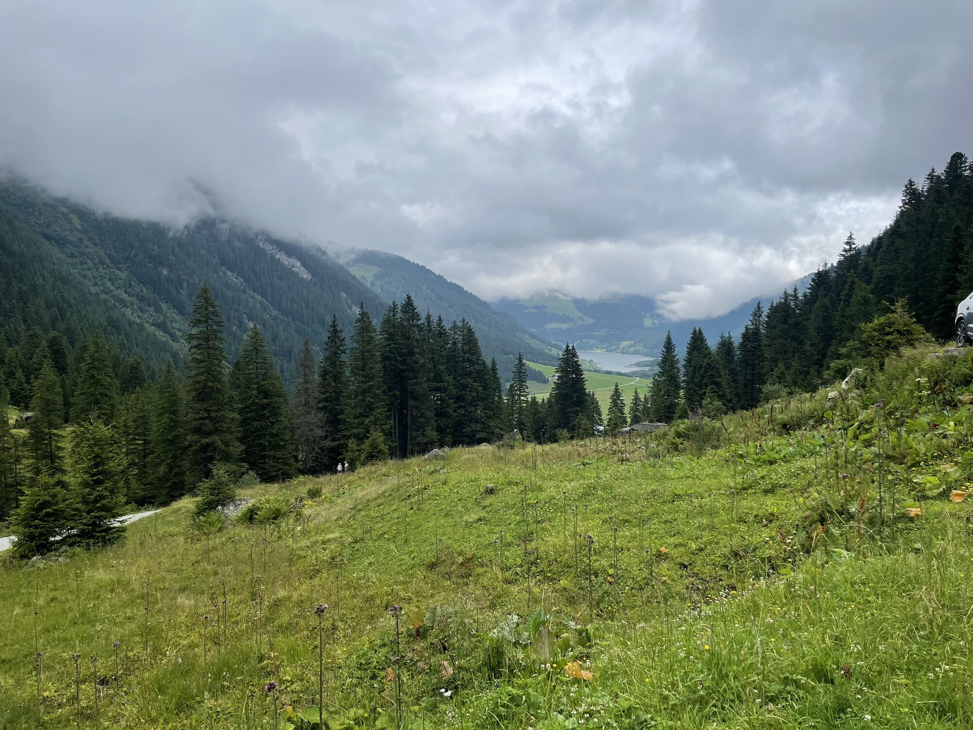
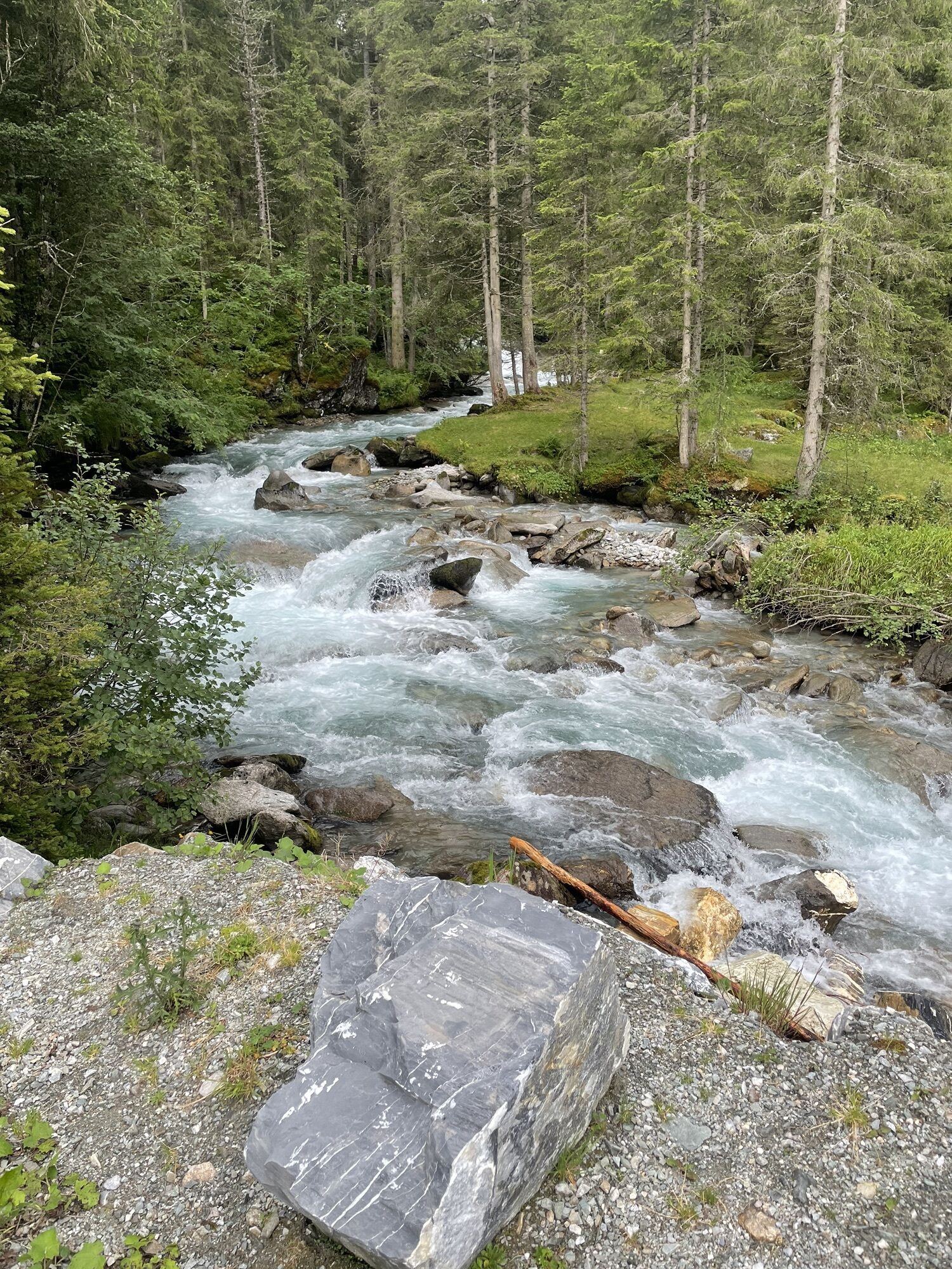
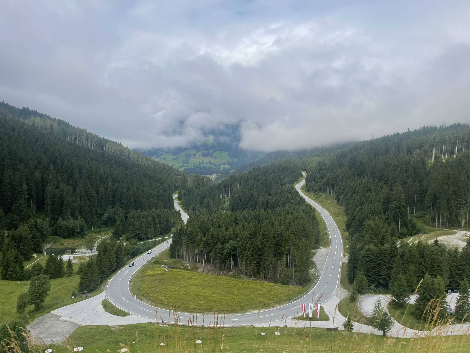
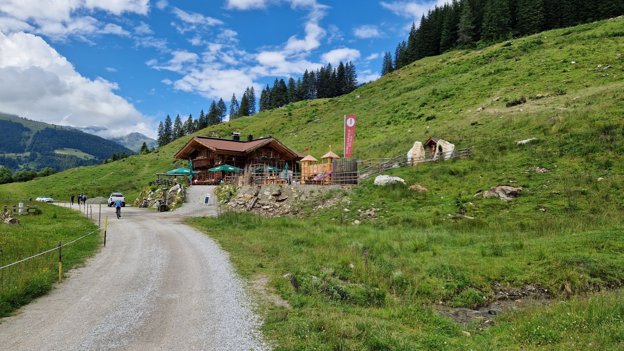
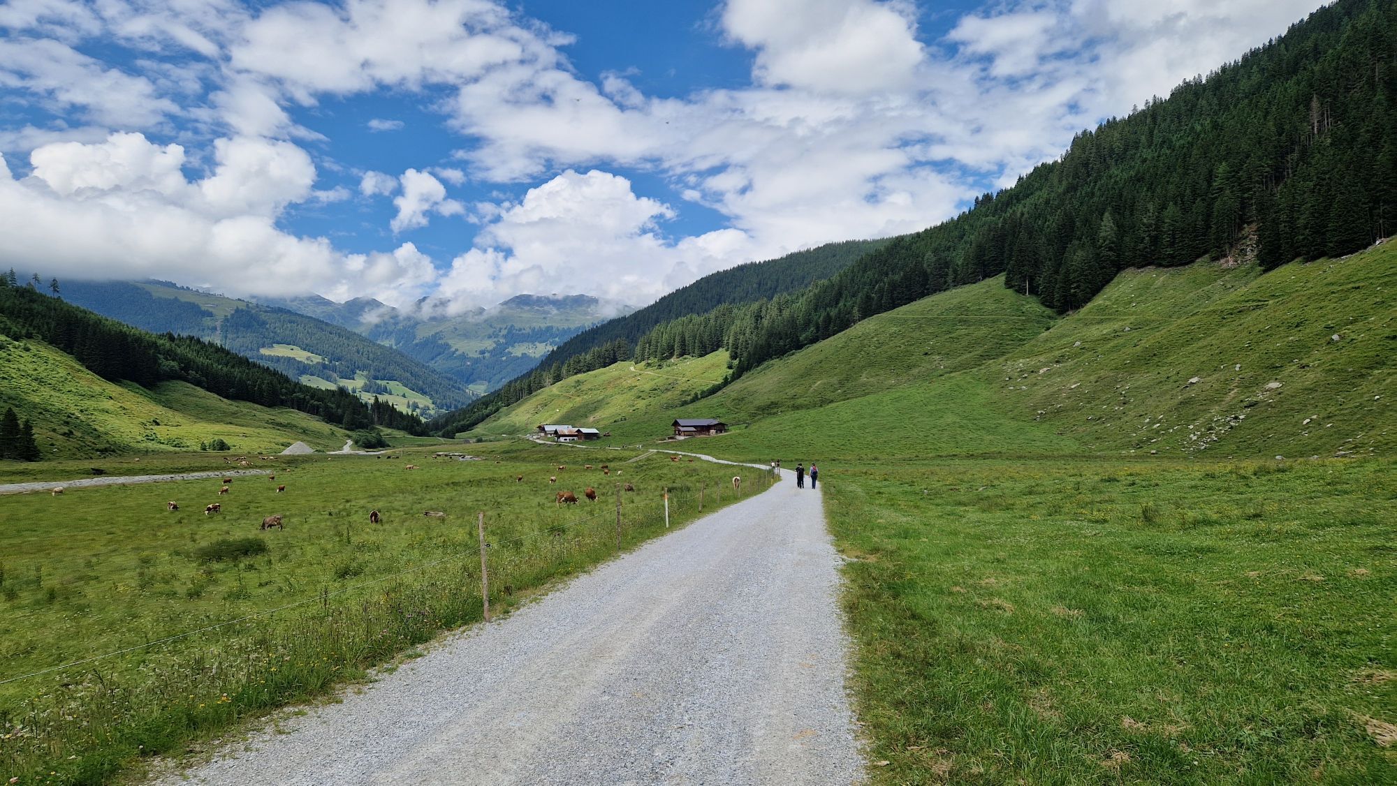
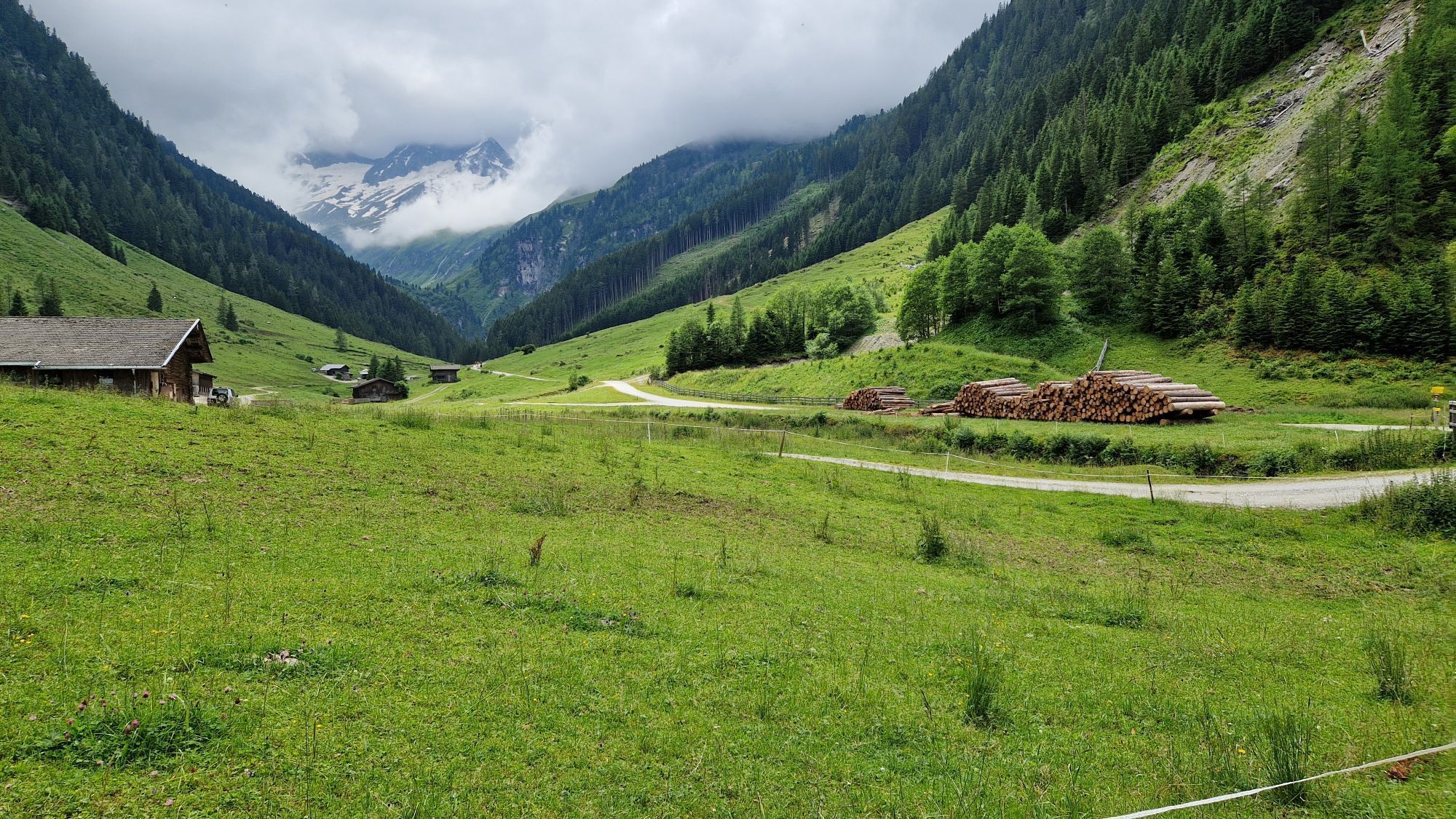
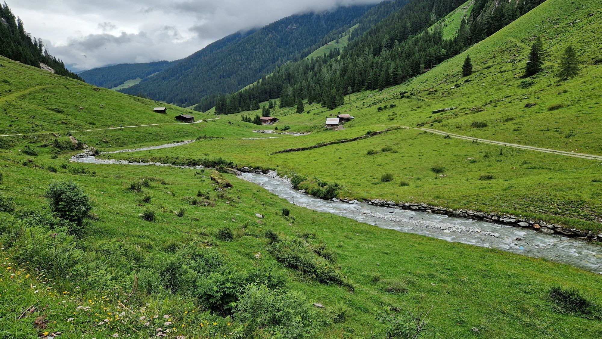
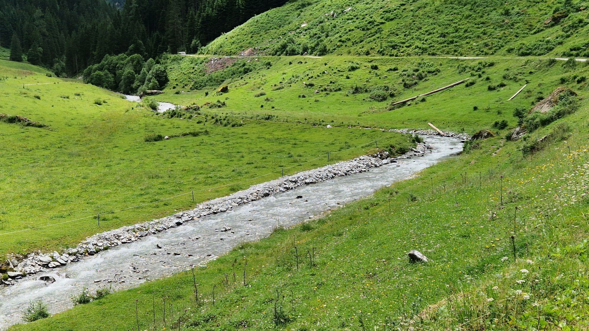
If you wish, you can do this tour in stages with an overnight stop at the Zittauer Hütte. Gerlos to the Schönach glacier approx. 3 hrs., from there on to the Keeskarscharte 4 ½ hrs. The refuge warden (a mountain guide) at the Zittauer Hütte will inform you about rock climbs and glacier tours in the region.Opposite the Gerlos education center cross the bridge and then follow the path to the left into Schönachtal, past the Jörgleralm (1.300 m) to the Stinkmoosalm. Now continue slightly upwards via the Lackenalm (open, 1.405m) and the Pasteinalm (1.692m) following the good path to the Keeskar, zigzagging up the east side of the valley to the Keeskarscharte (col at 2.778 m). Extremely impressive close-up view of the glacier with the rock and ice- capped mountains in the Schönachtal and Wildgerlostal. Wind your way down eastwards into the Wildgerlostal on a well-marked path until your reach the tongue of the Wildgerloskees glacier.
From here you can either...
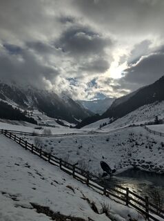
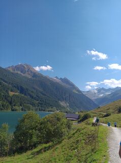
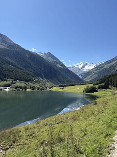
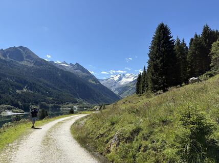
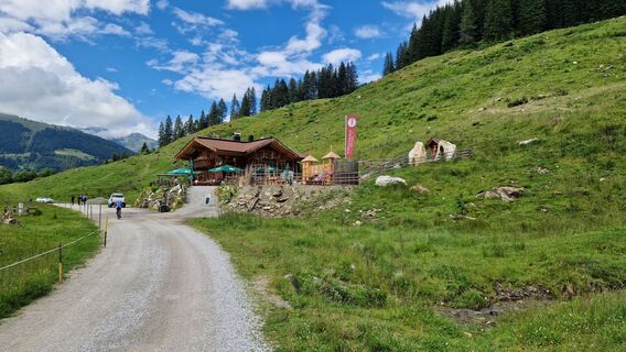
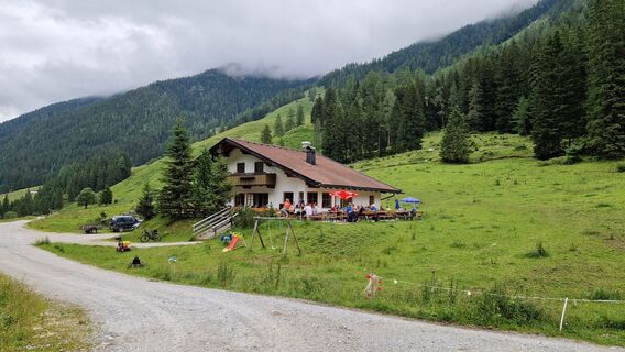
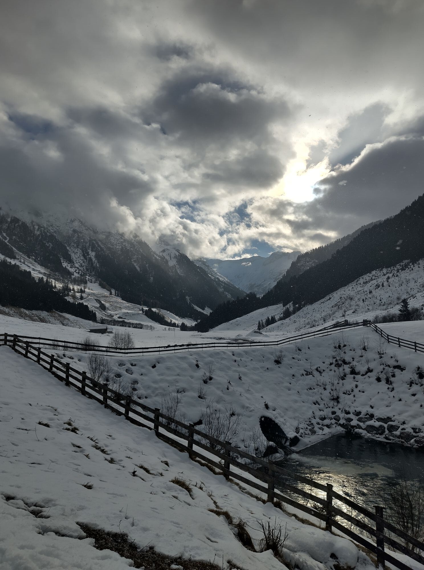
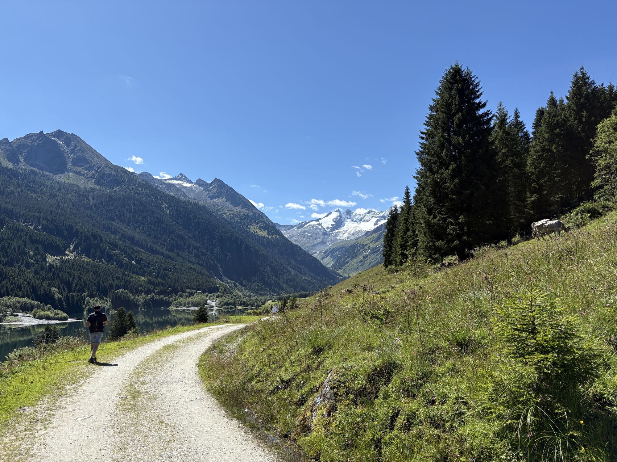
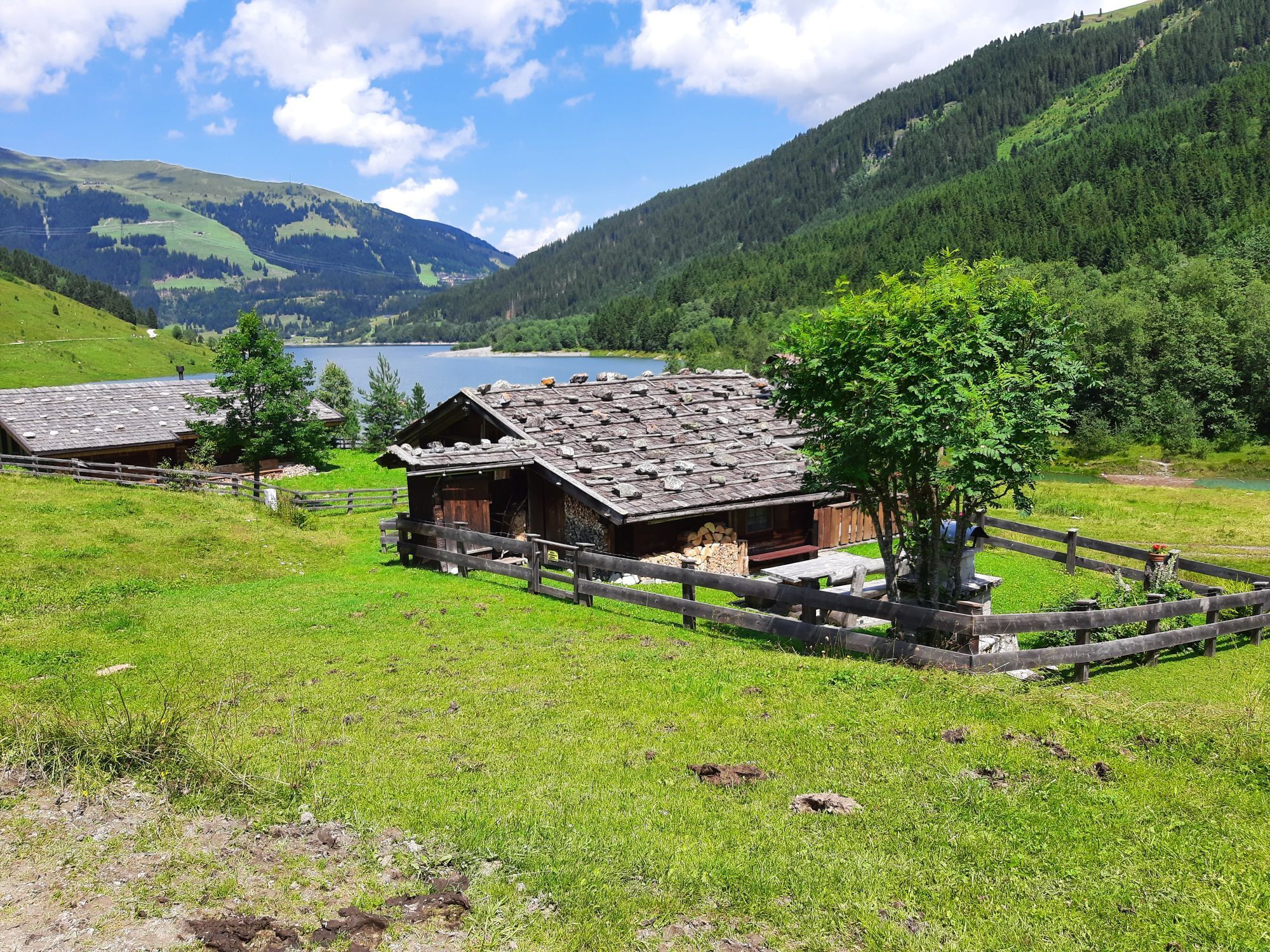
a)...cross eastwards below the glacier tongue (3/4 hr.) and then walk up gently to the Zittauer Hütte at the Wildgerlossee (lake) and stop for a rest here while admiring the view onto the glacier. The refuge lies at a height of 2.329 m and enjoys one of the most beautiful setting in the Tyrol; or
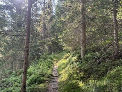
b)... take the direct route down in zigzags along the left edge of the glacier moraine
until you reach the valley floor. This so-called
Áno
Áno
Line 4094 - "Isskogelbahn"
Parking lot "Isskogelbahn"
Áno
Webové kamery z prehliadky
-
Königsleiten - Wald im Pinzgau
-
Isskogel
-
Filzsteinalm
-
Panoramarestaurant Filzsteinalm (Gerlosplatte)
-
Gerlos / Speicherteich Latschensee
-
Zillertal Arena, Alpengasthof Filzstein
-
Krimmler Wasserfall
-
Stuanmandl Berg
-
Panorama Königsleiten
-
Königsleiten - Wald im Pinzgau
-
Königsleiten - Wald im Pinzgau
-
Königsleiten - Wald im Pinzgau
-
Königsleiten - Wald im Pinzgau
-
Königsleiten - Wald im Pinzgau
-
Königsleiten - Wald im Pinzgau
-
Königsleiten - Wald im Pinzgau
-
Fussalm
-
Fussalm
-
Fussalm
-
Fussalm
-
Fussalm
-
Fussalm
-
Hochkrimml - Plattenalm
-
Hochkrimml - Plattenalm
-
Hochkrimml - Plattenalm
-
Hochkrimml - Plattenalm
-
Panorama Königsleiten
-
Panorama Königsleiten
-
Panorama Königsleiten
-
Panorama Königsleiten
Obľúbené výlety v okolí
-
4,7
Zittauer Hut
strednáTuristika 6,85 km -
4,3
Krimmler Tauernhaus
strednáTuristika 10,4 km -
4,3
Krimml Waterfall Path - Panorama Viewing Path
strednáTuristika 4,74 km -
4,7
Krimmlerwasserfälle
strednáTuristika 10,5 km -
3,2
Krimmler Tauernhaus - Warnsdorfer Hut - Gamsspitzl
ťažkéTuristika 10,5 km -
4,3
Untere Wasserälle Krimml Krimml, Österreich
svetloTuristika 5,04 km -
4,0
Krimmler Achental
strednáMountainbike 20,3 km -
3,6
Schmankerlweg (Rosenalm - Schmankerlhütte Kreuzwiesenalm)
Turistika 3,06 km -
4,4
Plattenkogel (circular route)
strednáTuristika 7,67 km -
5,0
Krimml: Zum Krimmler Tauernhaus
Mountainbike 12,4 km

Turistika a stopovanie


Nenechajte si ujsť ponuky a inšpiráciu na ďalšiu dovolenku
Vaša e-mailová adresa bol pridaný do poštového zoznamu.