






Senselerweg: Himmelreich via Volderwildbad to the Voldertalhütte


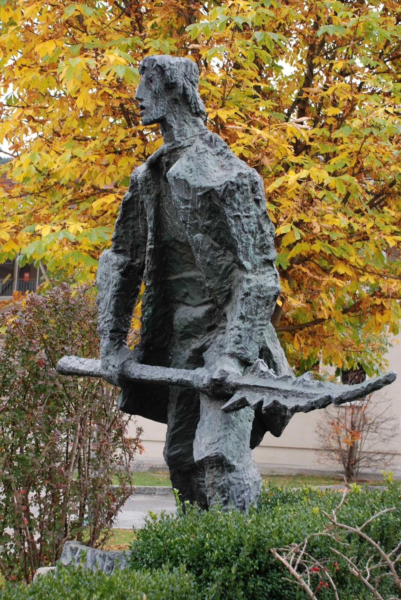
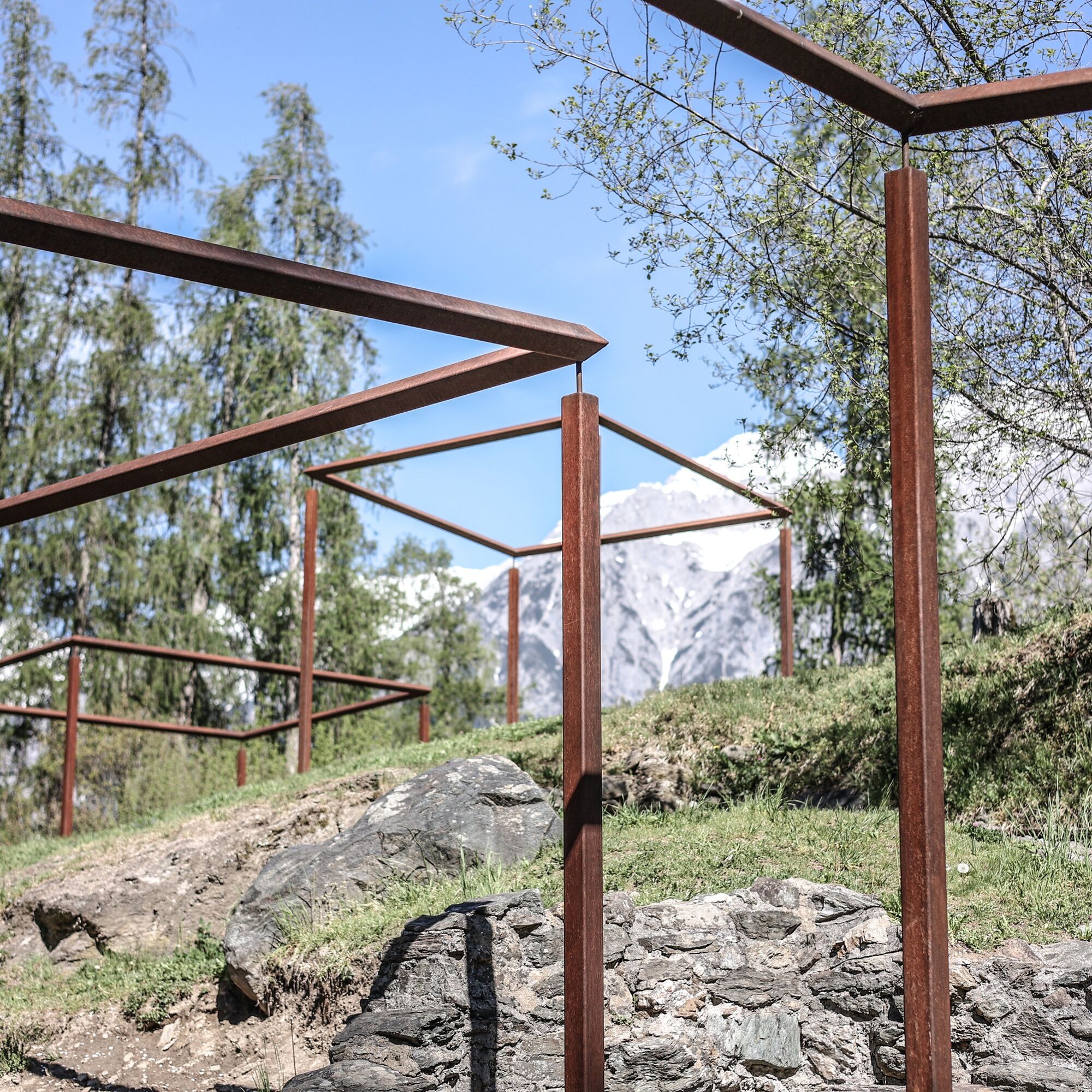


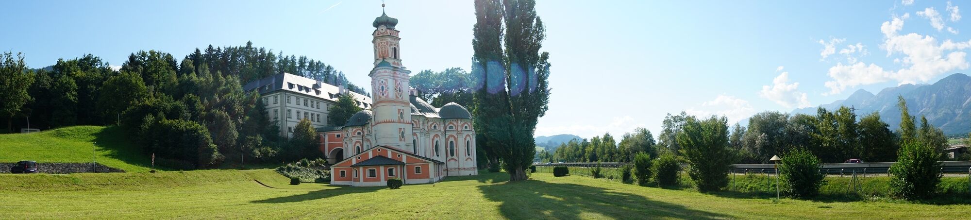

Start at the Himmelreich, the well-known Rhaetian settlement in Volders. From there, head westward downhill, past a station of the fitness trail and follow the walking path to Aschach Castle. The path leads through a turnstile. Before Aschach Castle, follow the path to the castle camping site and from there follow the federal road to the village center. At the church square in Volders, you will find the monument to the scythe smith Anton Reinisch and the village church.
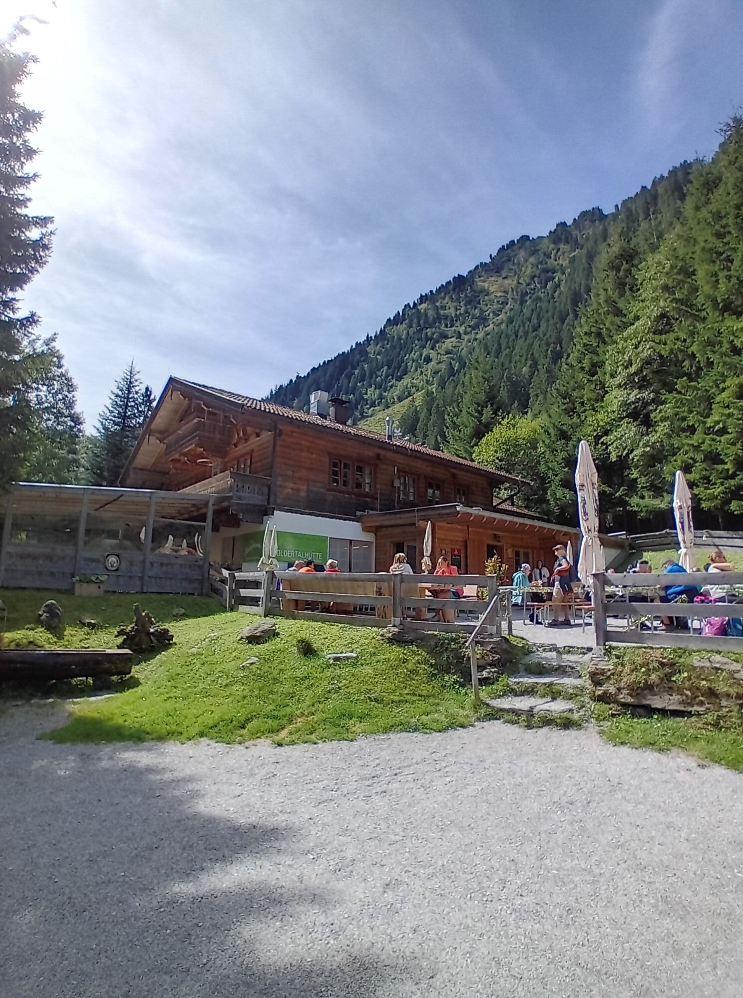
Continue along the footpath parallel to the federal road, passing the urn field monument to the Karlskirche. From there follow the historic circular hiking trail to Friedberg Castle. Slightly above (south) of Friedberg Castle, follow the meadow bridge down into the gorge of the Volderbach. Over a steel bridge, climb steeply up the opposite slope and arrive at the Unterberg. Follow the road downstream (southward). Always parallel to the Volderbach, always keep right. Pass the Auerhof continuing to Volderwildbad. From there enter the mountain forest and after about an hour reach the first overnight stop, the Voldertalhütte, at 1350 m elevation.
Voldertalhütte at 1350 m:
Mobile: +43 664 97 57 447
Rooms and dormitories are available. ATTENTION: Cash payment only
If you want to interrupt the Senselerweg, the descent is only possible on the same route as the ascent. For about €60, you can be picked up by a mountain taxi.
Taxi Steinlechner, Wattens, Tel.: +43 5224 54000
Získajte prehľad
Vždy naživo na mieste s viac ako 9 500 webovými kamerami. bergfex Ako používateľ Pro si teraz môžete pozrieť príslušné webové kamery pre mnohé zájazdy v aplikácii zájazdy z. Môžete si tak priamo prezerať aktuálne podmienky.
Obľúbené výlety v okolí
-
4,6
Hinterriss - Eng - Falkenhütte
strednáTuristika 6,88 km -
4,8
Felix-Kuen via ferrata on the Hundskopf
ťažkéVia ferrata 2,18 km -
4,8
Seegrube - Hungerburg
strednáTuristika 5,04 km -
4,6
Patscherkofl
strednáTuristika 18,5 km -
4,9
4-Gipfel-Tour zum Gilfert
strednáTuristika 11,2 km -
4,9
Patscherkofel Gipfelrunde mit Zirbenweg
svetloTuristika 6,52 km -
4,6
To the scenic Hochmahdkopf
strednáTuristika 8,31 km -
3,9
To the alpine inn St. Magdalena in the Halltal
strednáTuristika 7,24 km -
4,5
Up to the Largoz
strednáTuristika 7,01 km -
4,3
Wanderung zur Binsalm
svetloTuristika 8,54 km
Turistika a stopovanie


Nenechajte si ujsť ponuky a inšpiráciu na ďalšiu dovolenku
Vaša e-mailová adresa bol pridaný do poštového zoznamu.





