



Karwendel Höhenweg - Bettelwurfhütte to Hallerangerhaus

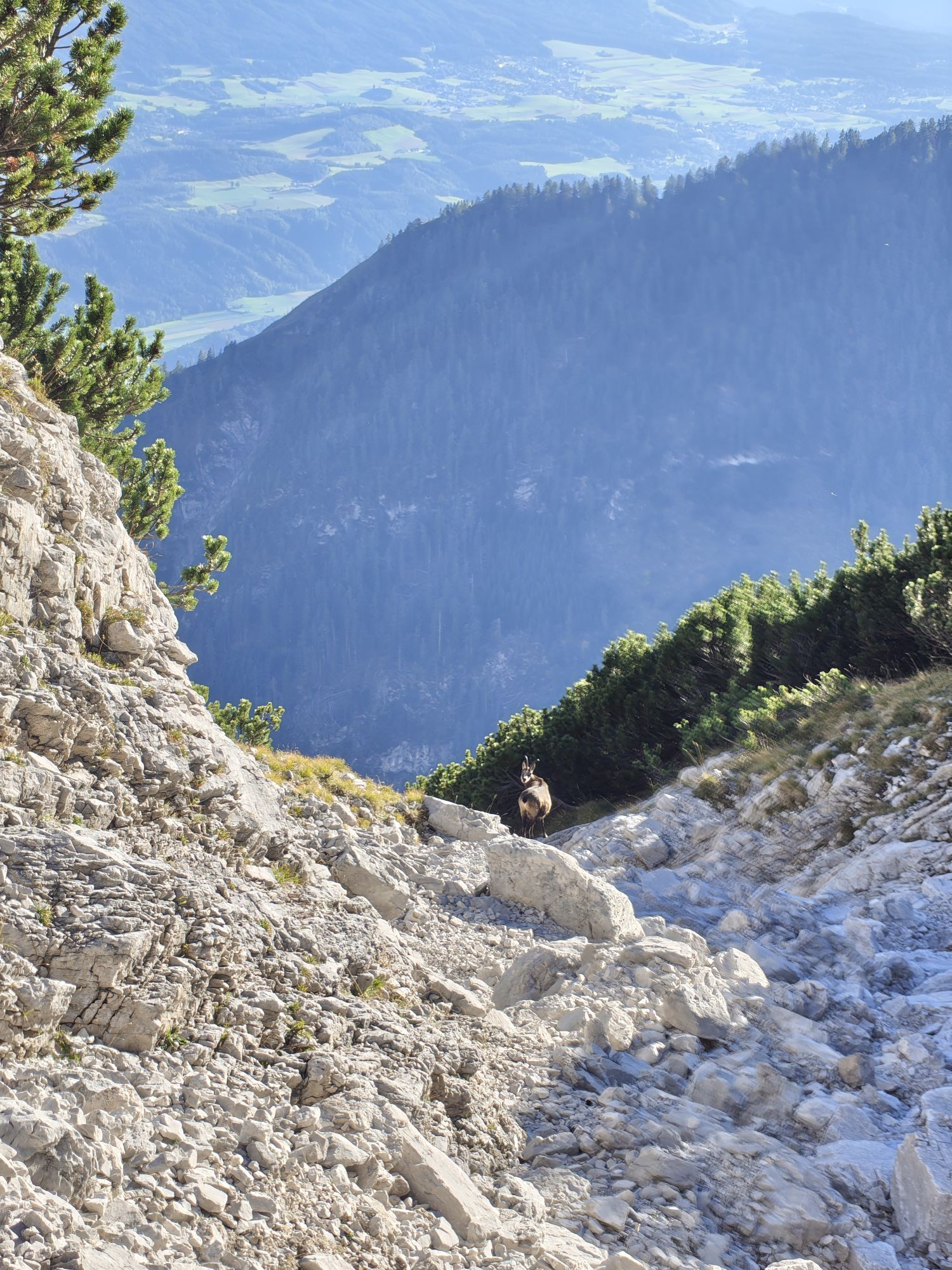
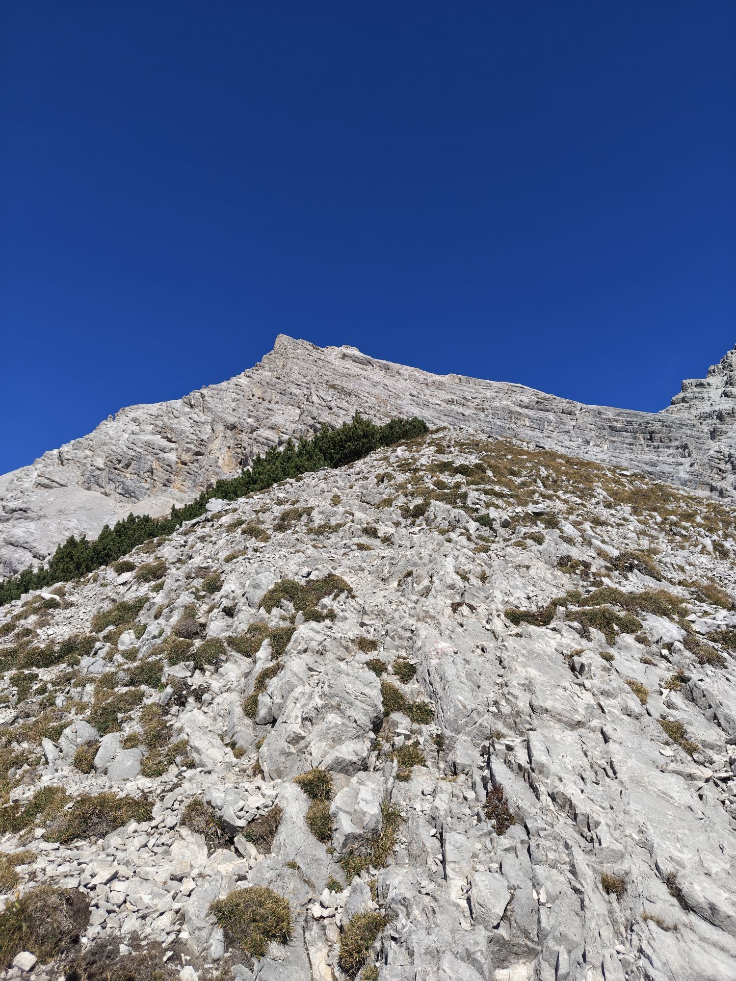
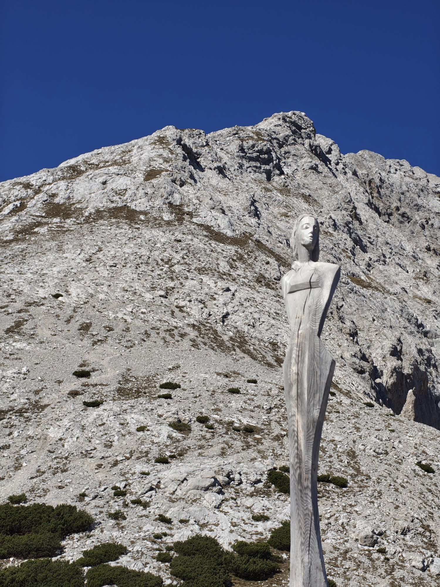
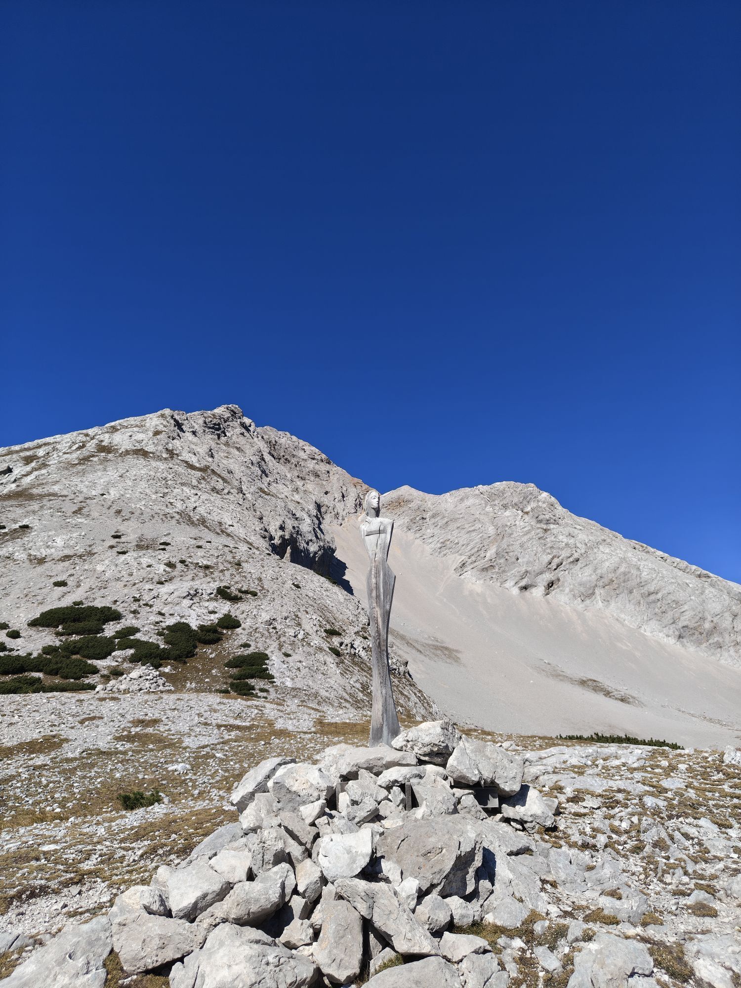
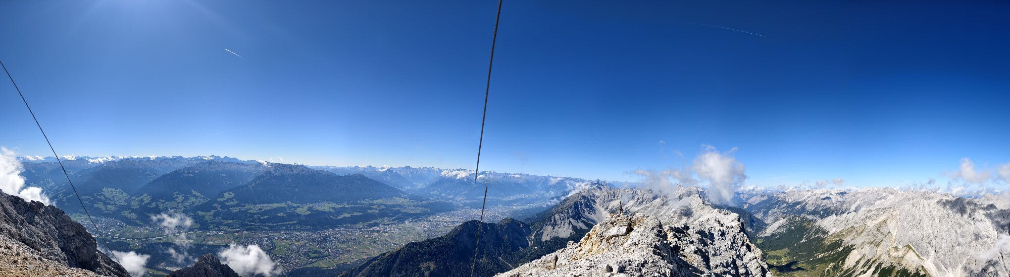
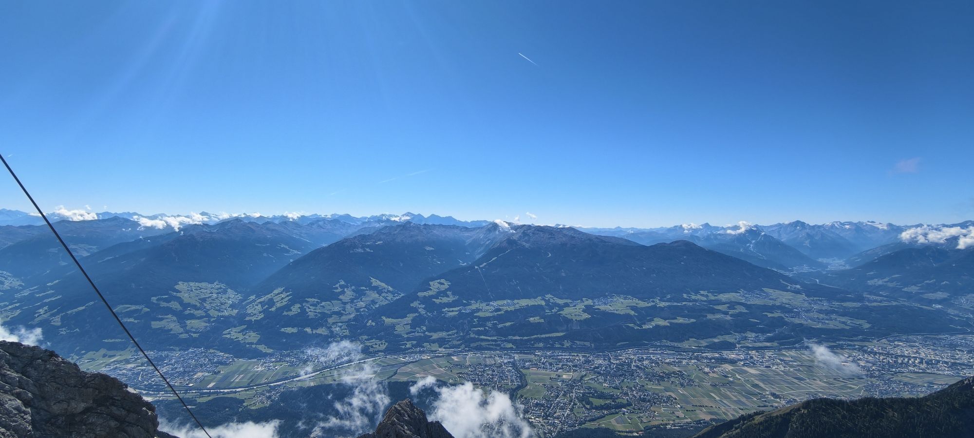
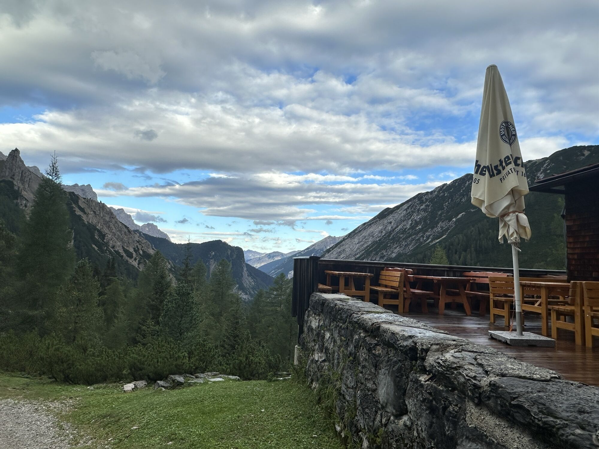
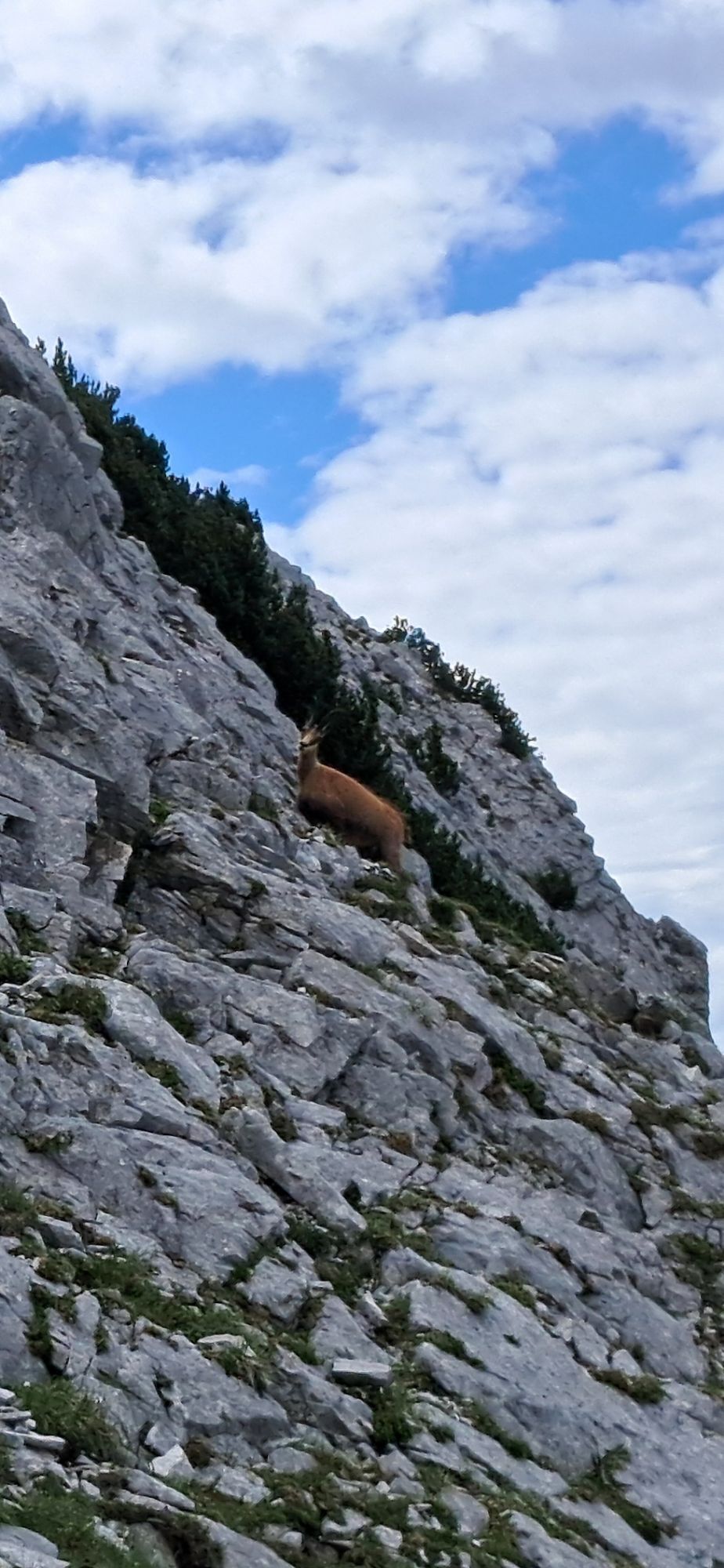

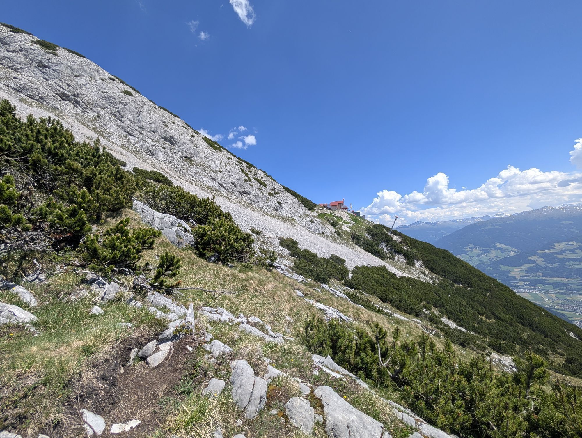


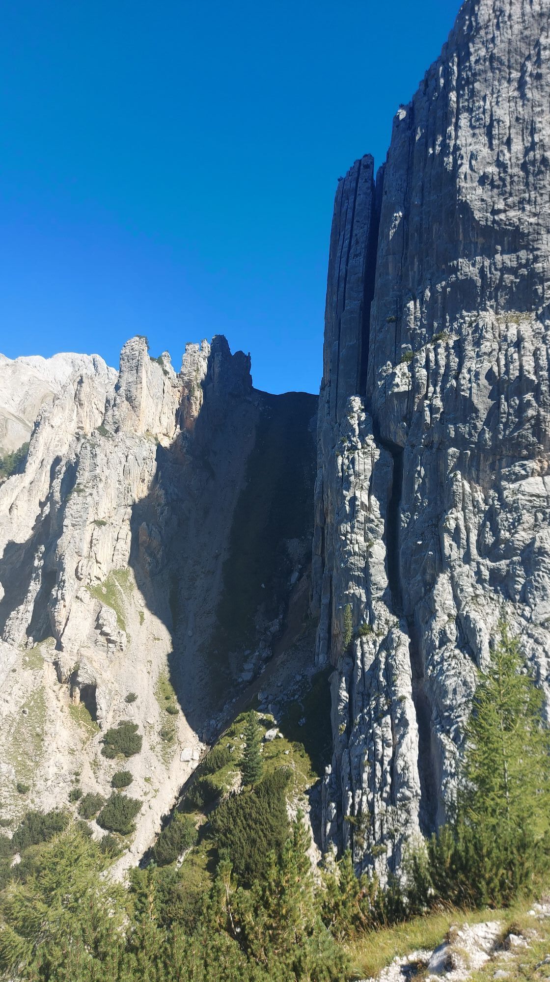


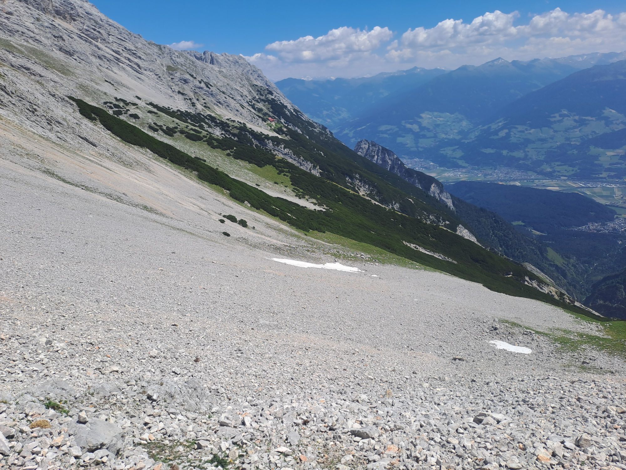
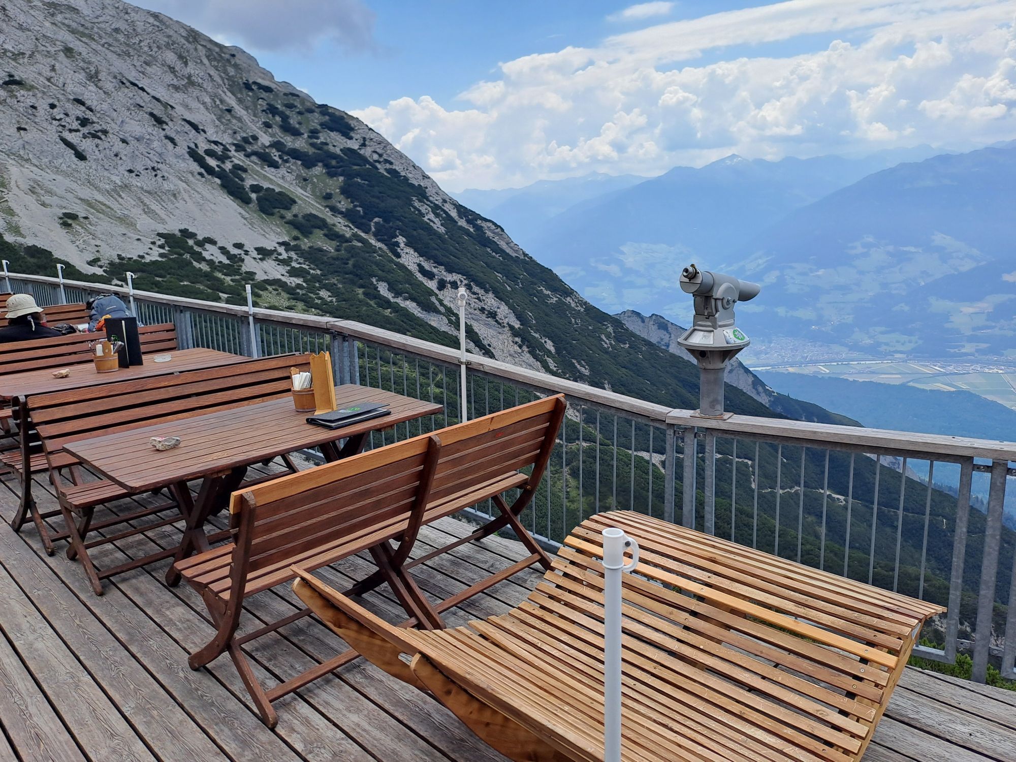
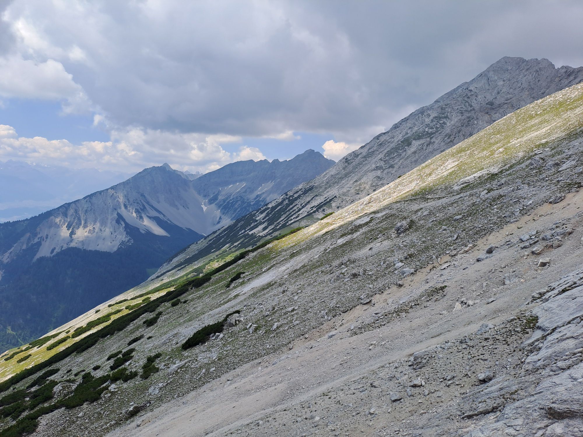
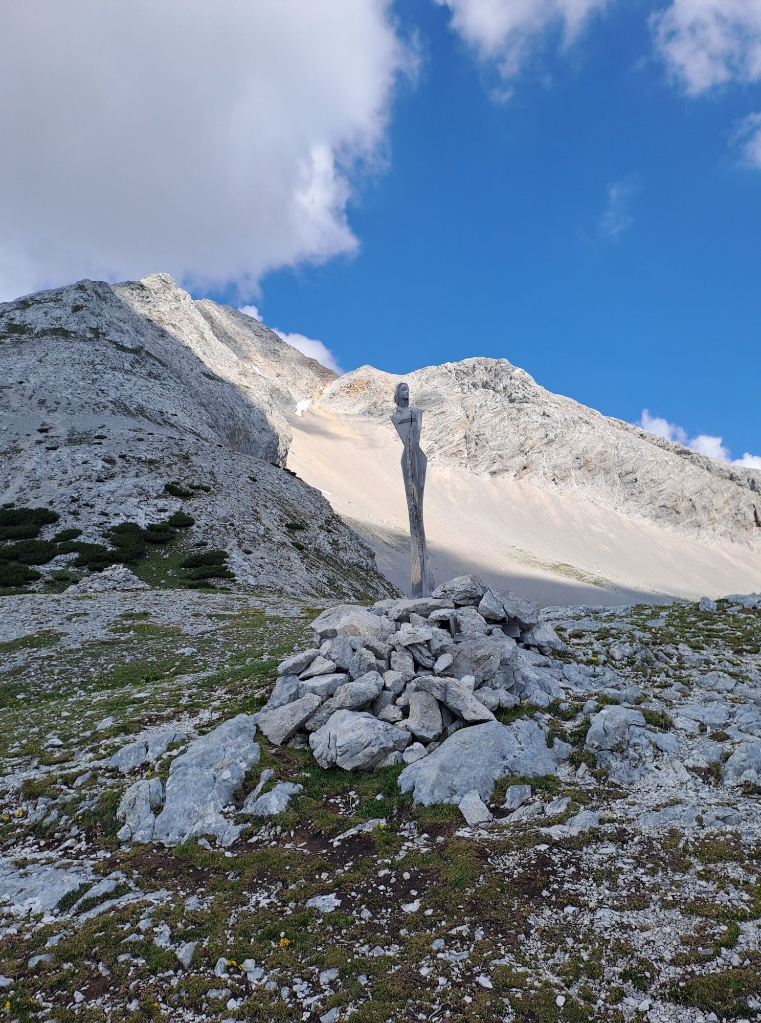


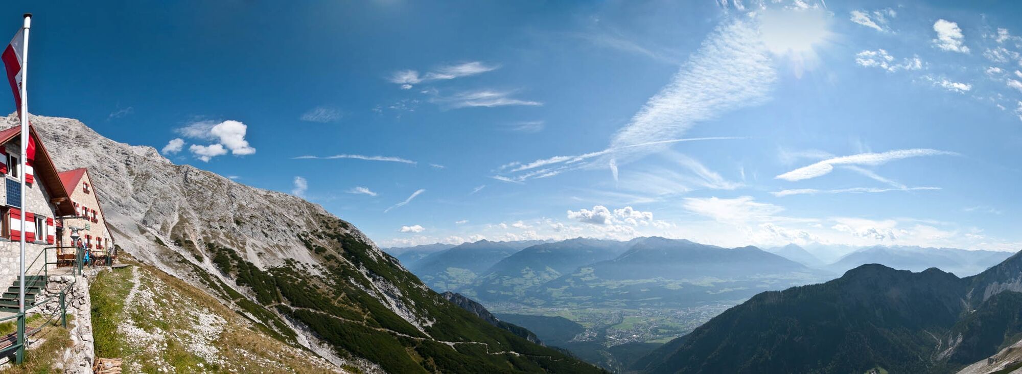
From the eagle's nest of the Karwendel to the Großer Bettelwurf (optional!) with far-reaching views into the Halltal and Vomperloch. Continue over the Lafatscher Joch to the end point of the day, the Hallerangerhaus.
From the eagle's nest of the Karwendel to the Großer Bettelwurf (optional!) with far-reaching views into the Halltal and Vomperloch. Continue over the Lafatscher Joch to the end point of the day, the Hallerangerhaus.



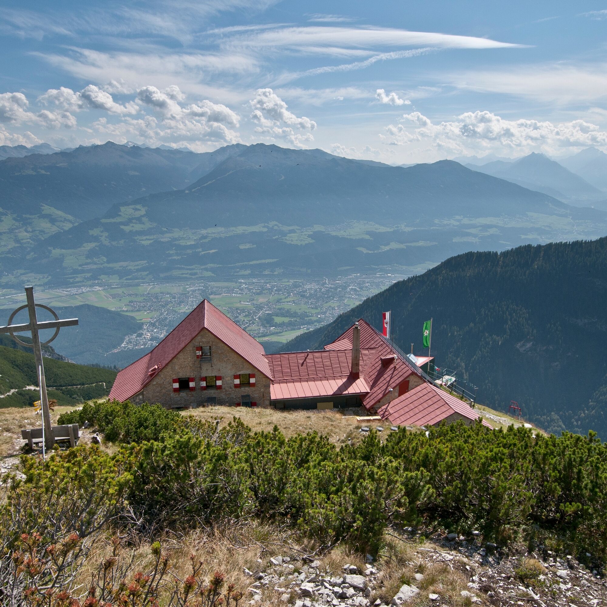
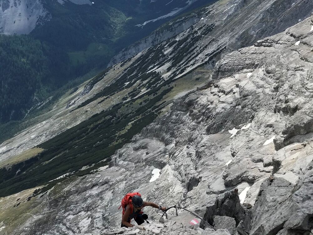
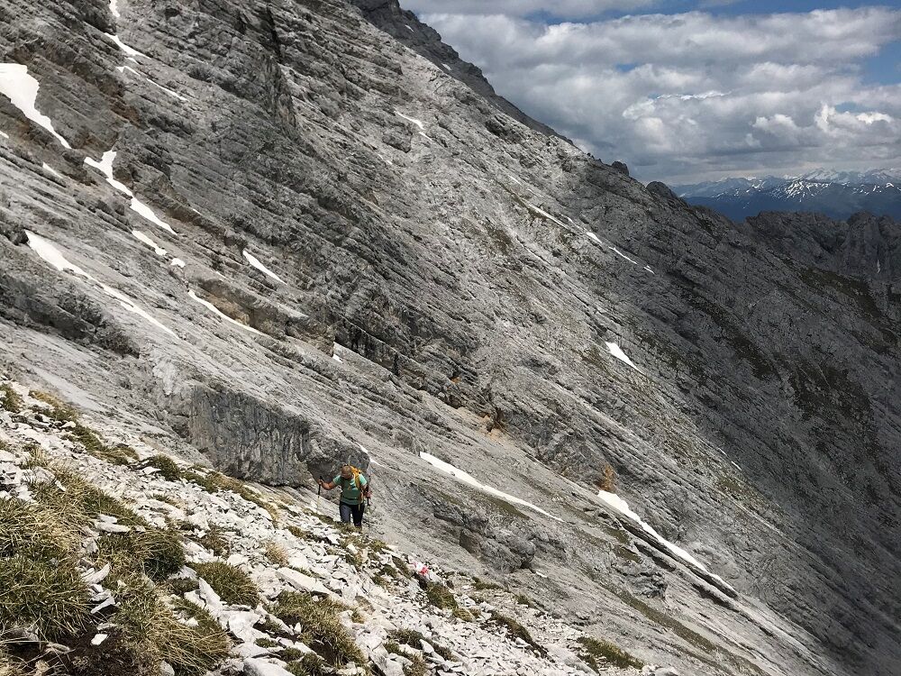
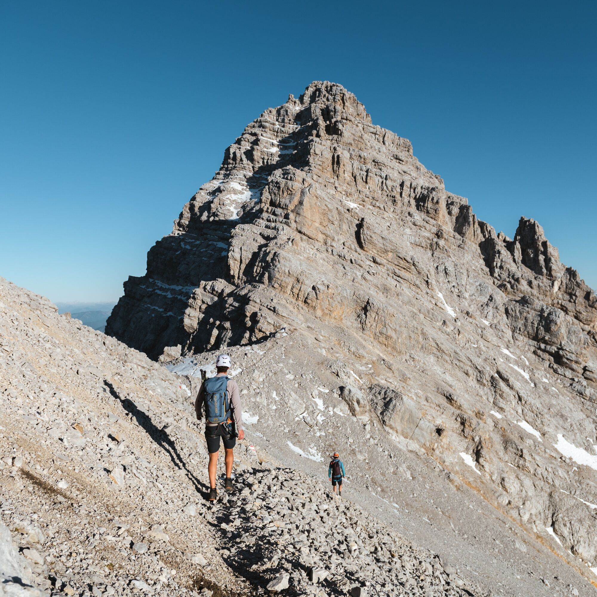
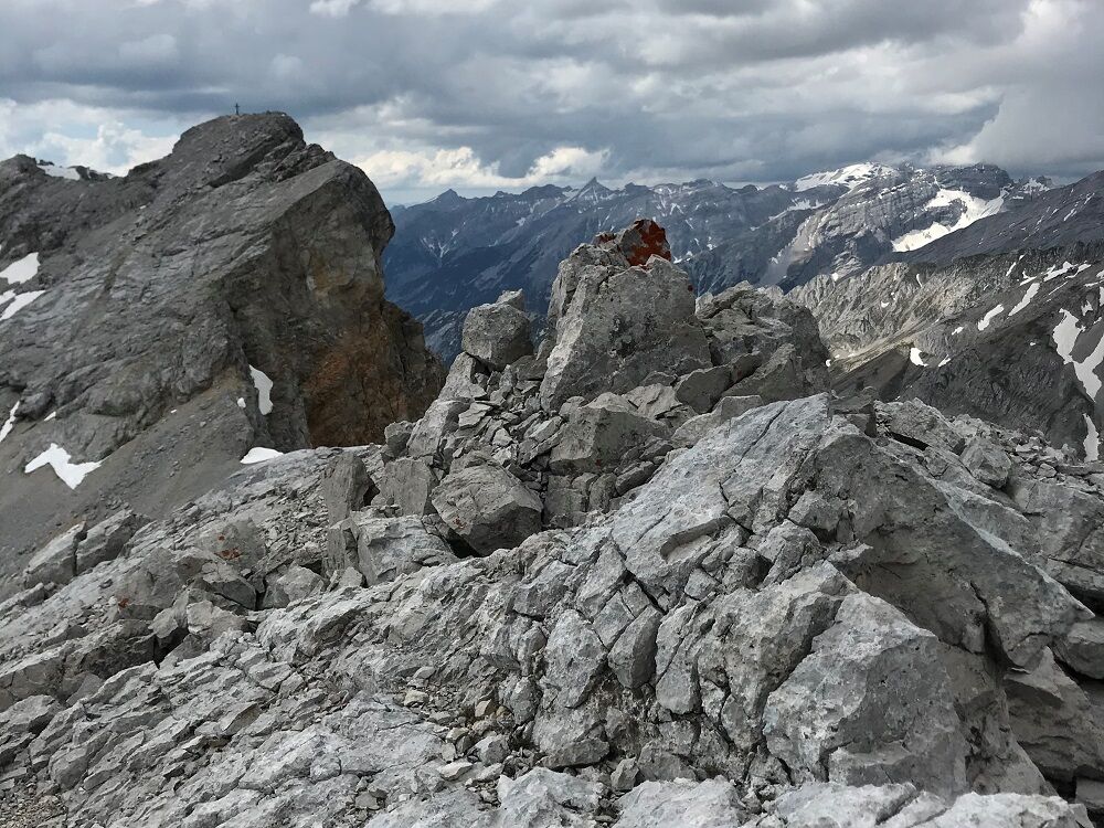
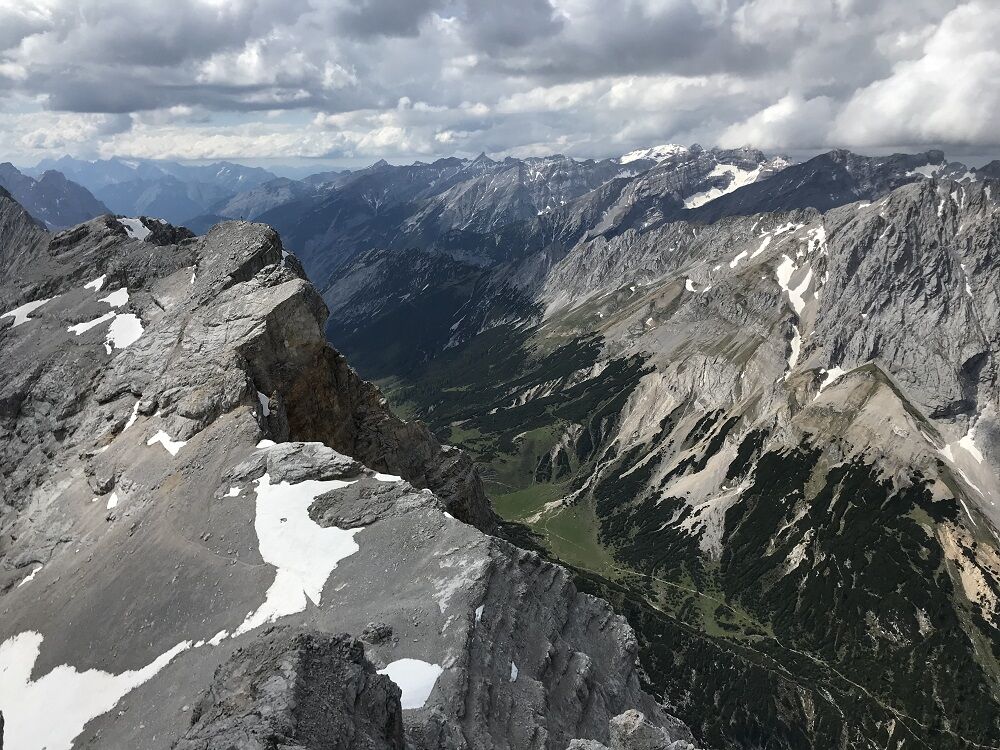
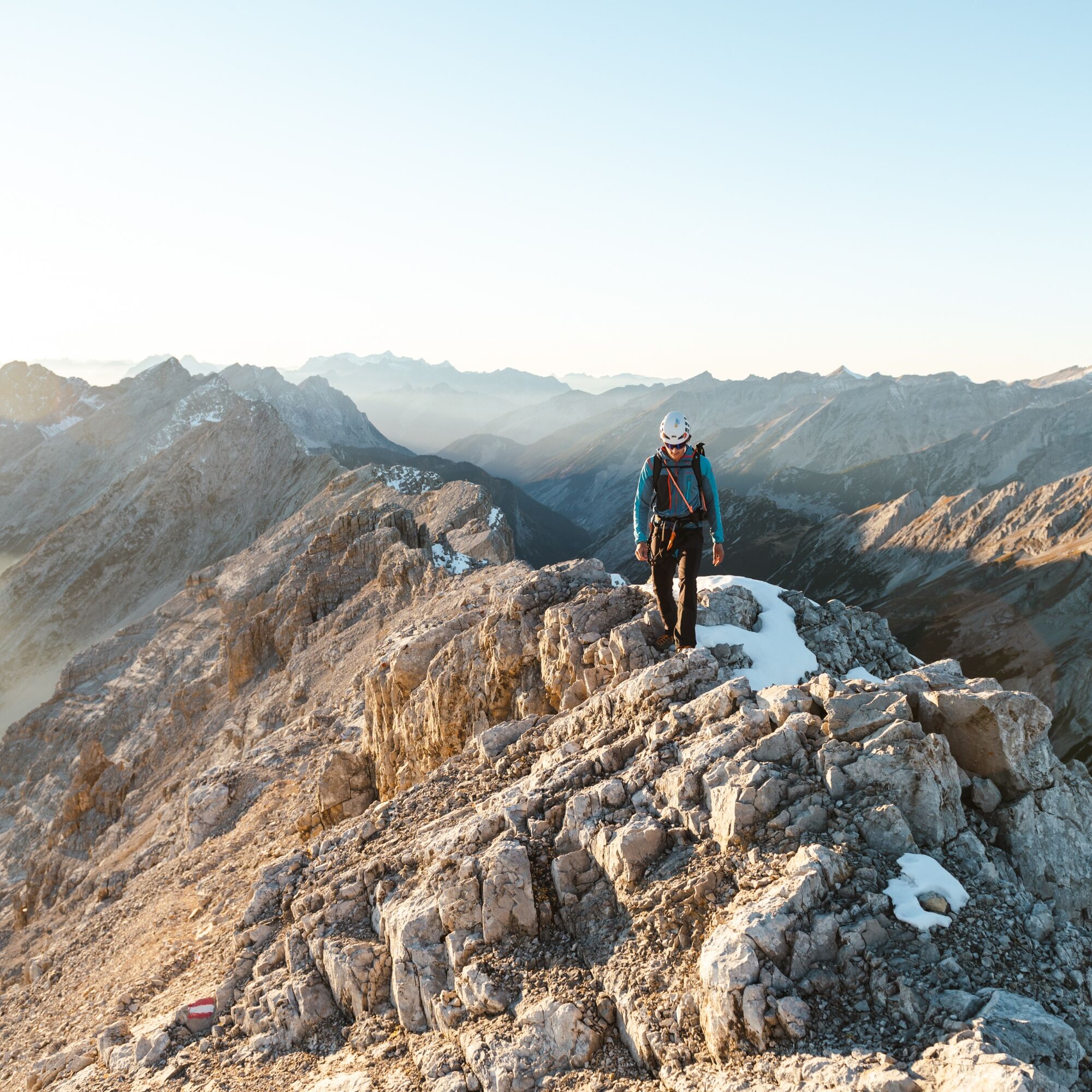
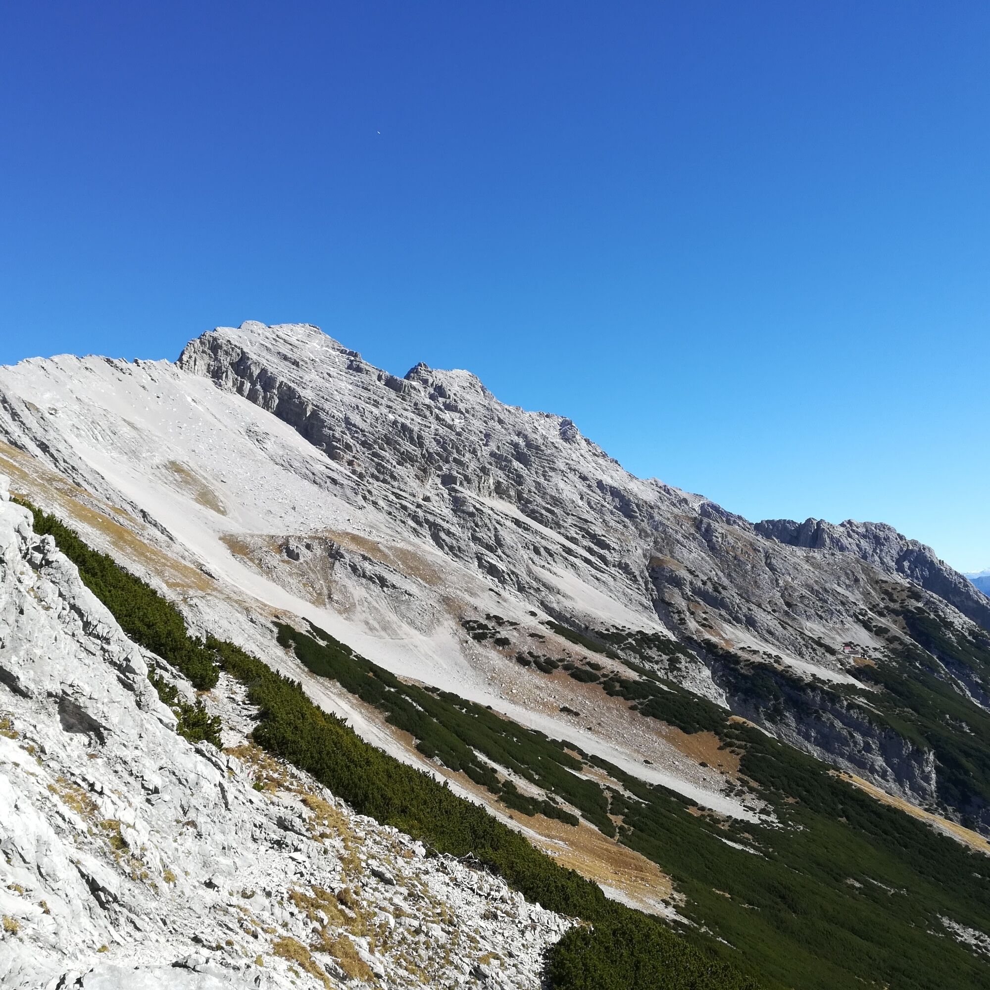
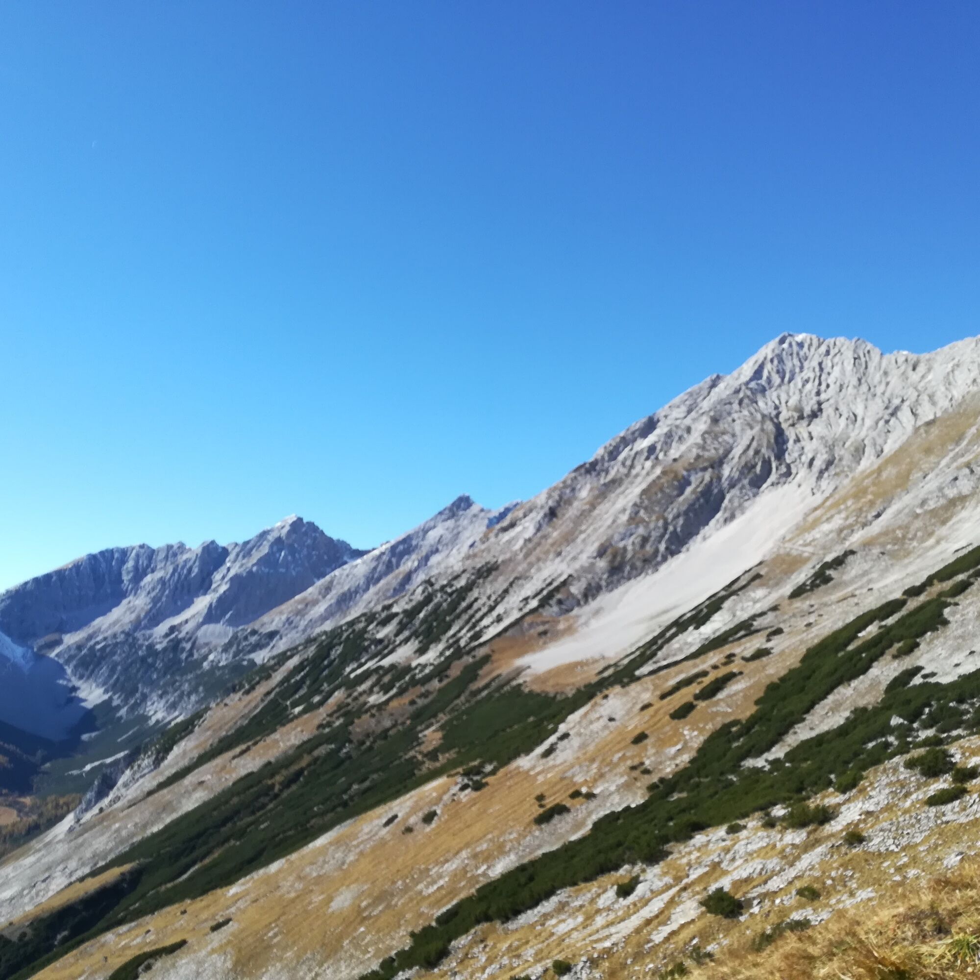

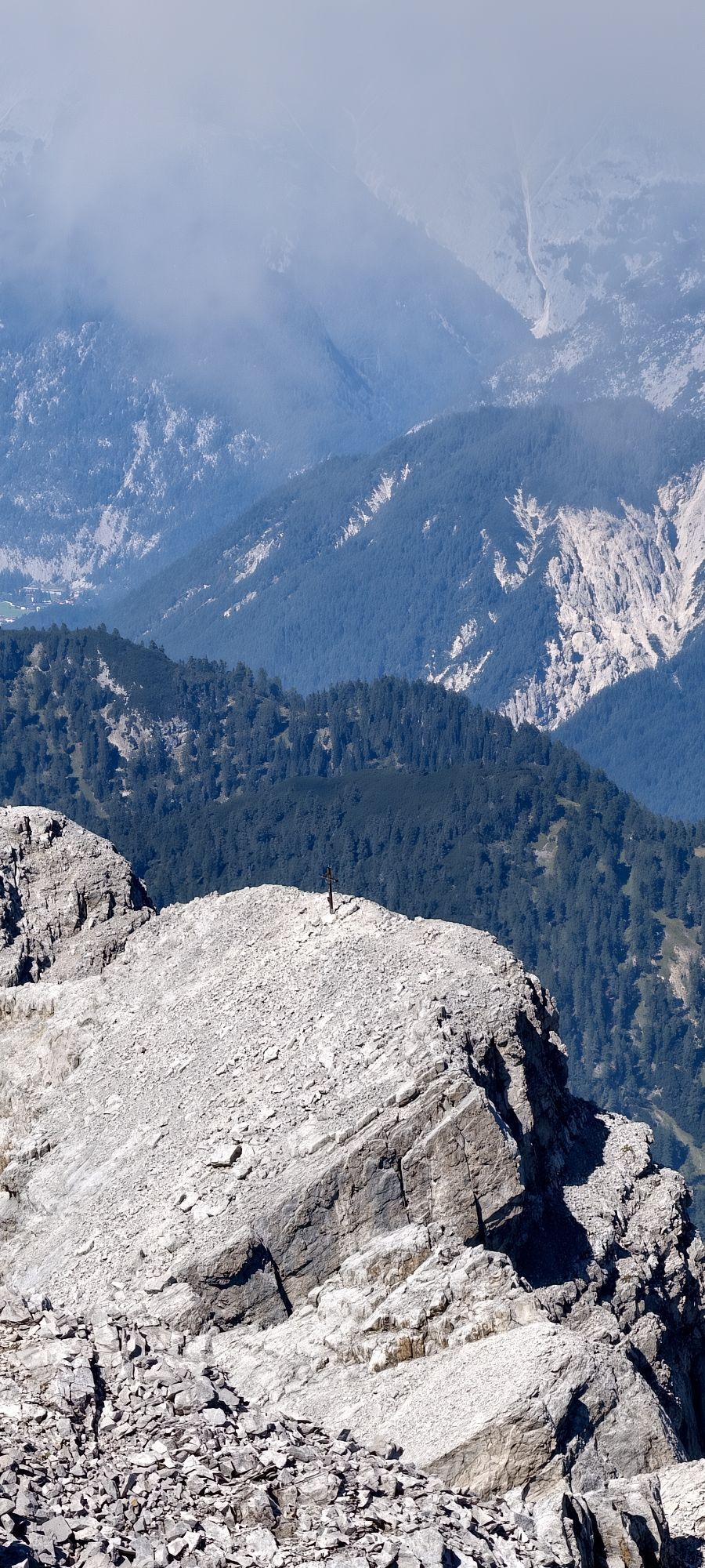
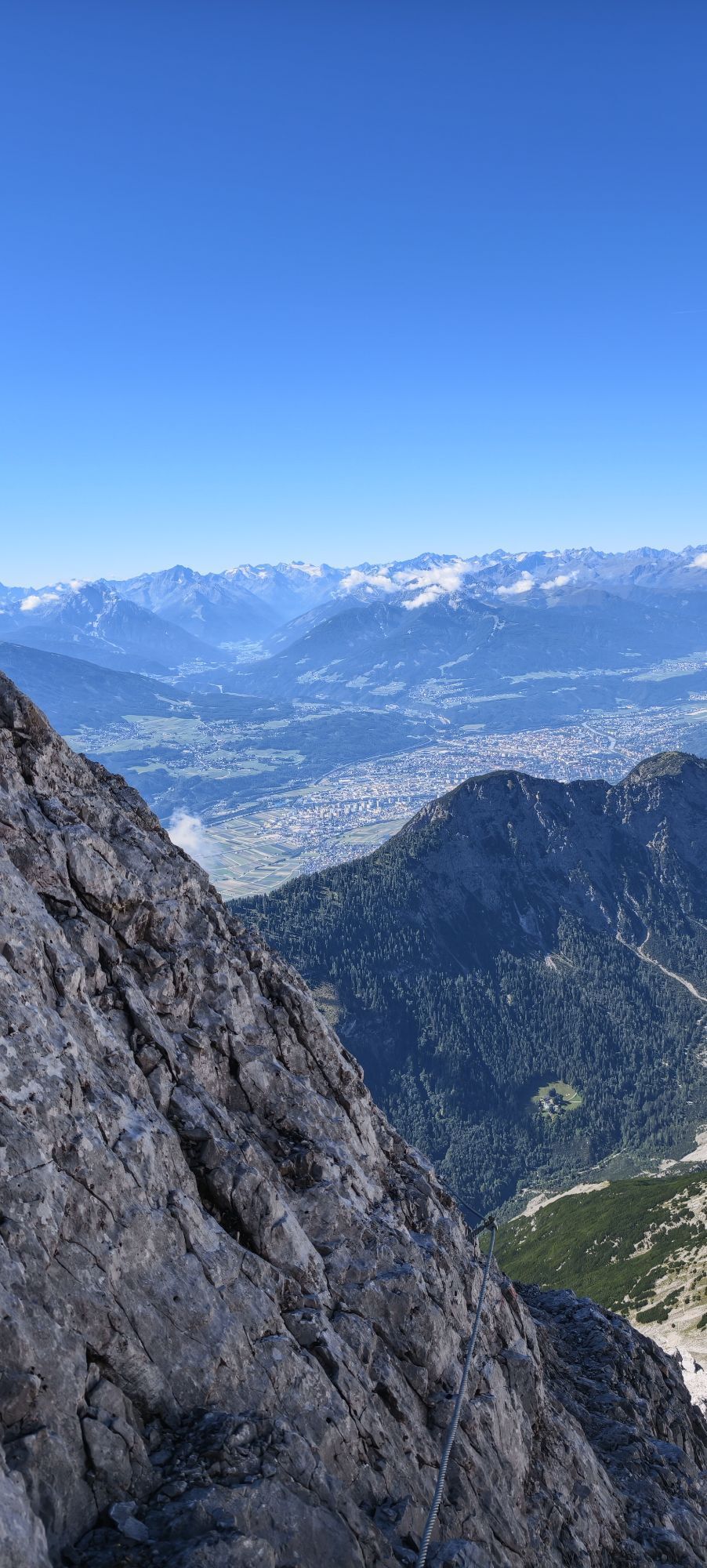
For all strong-mountain-climbers who feel fit and possess the necessary physical and technical equipment, optionally to the Großer Bettelwurf. First, head east, well signposted, into the ravine where the trail from the Halltal leads up, and then continue ascending southeast to the “Eisengattergrat”, the south ridge of the Großer Bettelwurf. From here, keep to the north, steadily climbing the Eisengattergrat towards the summit until the rock base and the first wire-rope secured sections. The following, partly secured path, partly to be overcome by easy climbing (I) on well-grippy limestone, mostly leads right of a slanting descending gully up to the summit ridge and overcomes some partly exposed rock bands. A via ferrata equipment with helmet is expressly recommended for this. The path becomes steeper towards the top. Shortly below the summit ridge, the trail splits; the left trail seen from below is easier to walk. On the summit ridge, keep east and reach the summit cross over a narrower ridge section exposed on both sides. From the summit, return the same way to the Bettelwurfhütte.
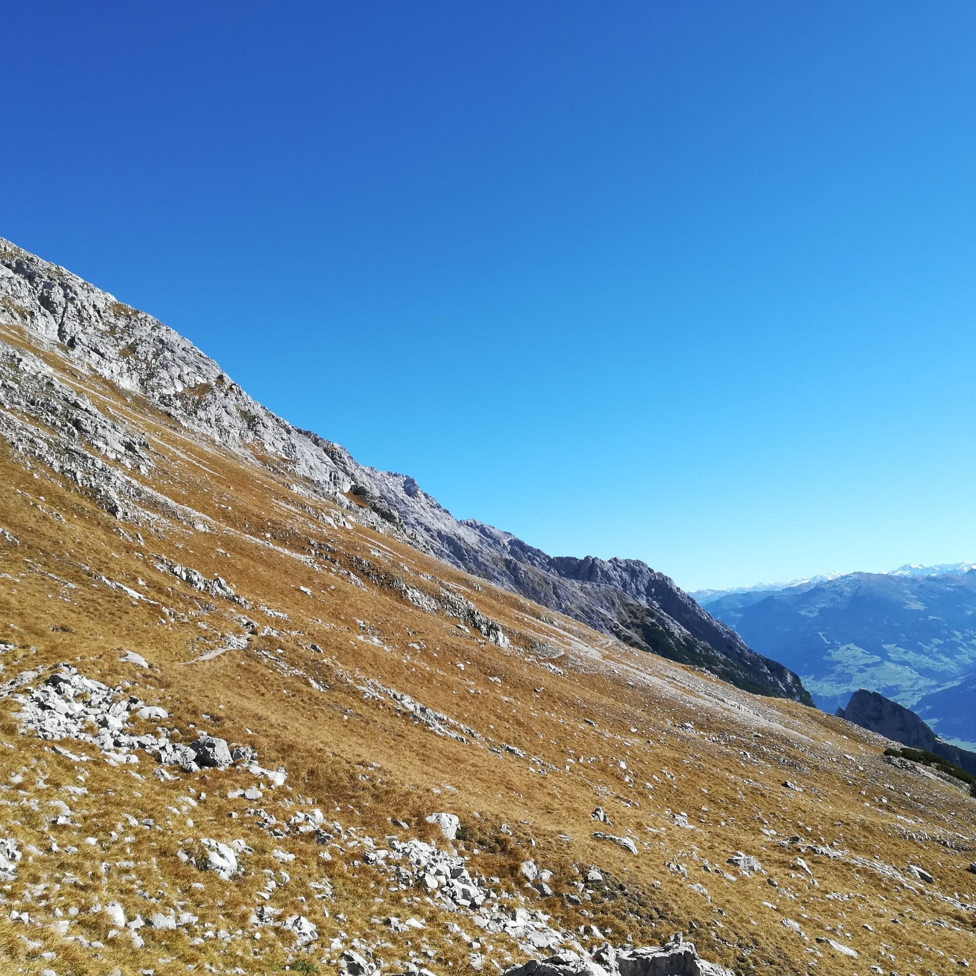
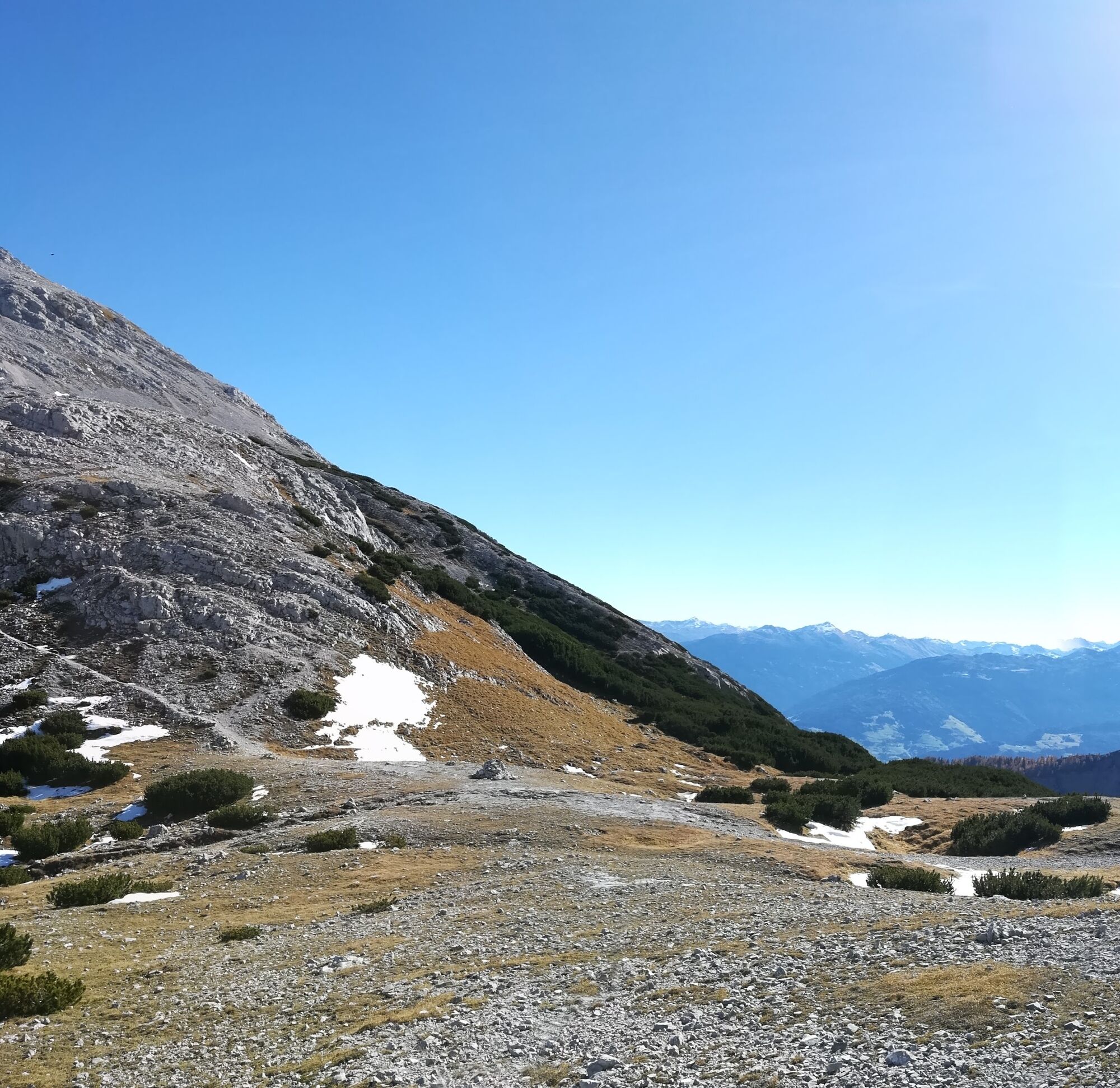
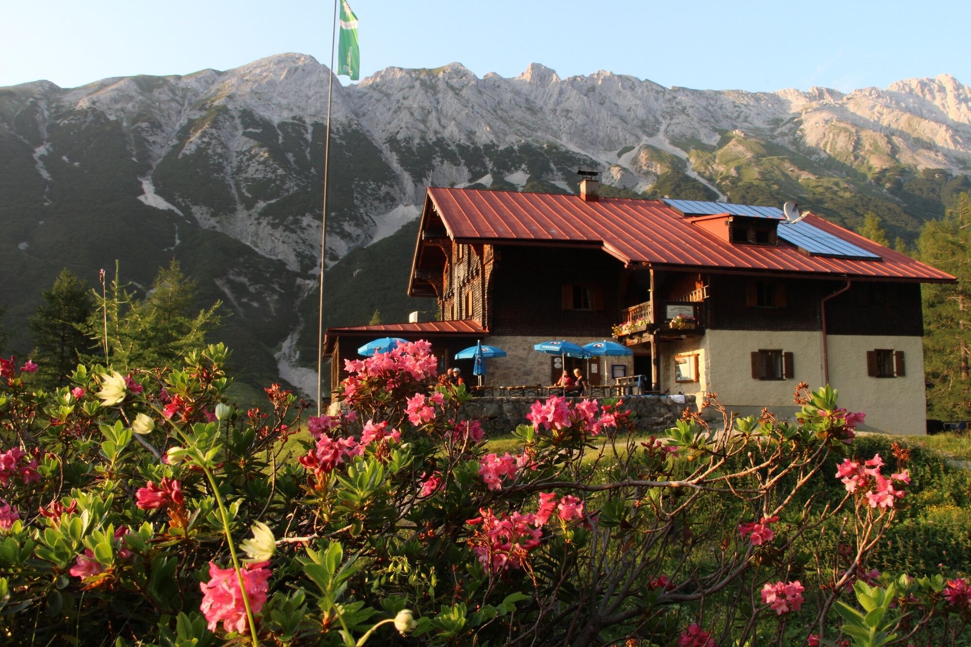
After a refreshment, follow trail 222 back to the Lafatscher Joch (2081 m). There, turn north onto trail 223. This trail is also part of the famous long-distance hiking trail “Adlerweg”. Between Lafatscher, Lafatscher Roßkopf, and Speckkarspitze, you walk continuously downhill to the beautifully located Hallerangerhaus.
Ankle-high mountain boots, sufficient water
Via ferrata set with helmet for ascending the Großer Bettelwurf
Recommended equipment: ankle-high mountain boots, sufficient water
Summits along the stage:
Alpine route: Kleiner Bettelwurf (2650 m, via ferrata C/D); ascent: +2.5 h
Speckkarspitze (2621 m, SW ridge UIAA I+, one section UIAA II); ascent: +3.5 h (black mountain path)
Information: The trail through the blasted passage from the Hallerangerhaus to the Lafatscher Joch is such a pack trail. A pack trail or mule track refers to paths that are too steep for wagons or teams and on which pack animals were used in earlier times to transport goods from one valley to the next. It runs between Lafatscher Roßkopf, Kleiner Lafatscher, and Speckkarspitze and thus connects the Halleranger with the Halltal, or the Bettelwurfhütte with the Hallerangerhaus.


Obľúbené výlety v okolí
-
4,6
Halltal - Bettelwurfhütte - Kleiner und Großer Bettelwurf
ťažkéVysoké turné 16,2 km -
4,7
Wanderung zum Isarursprung und Kastenalm
svetloTuristika 14,0 km -
4,8
Rundwanderung Gleirschklamm
strednáTuristika 13,2 km -
4,7
Hinterriss - Eng - Falkenhütte
strednáTuristika 6,88 km -
4,8
Felix-Kuen via ferrata on the Hundskopf
ťažkéVia ferrata 2,18 km -
4,7
3 alpine pastures Karwendel loop MTB route 408
ťažkéMountainbike 23,8 km -
4,8
Karwendelmarsch Route
ťažkéTuristika 51,4 km -
5,0
Gleirschklamm
strednáTuristika 15,4 km -
4,9
Patscherkofel Gipfelrunde mit Zirbenweg
svetloTuristika 6,52 km -
4,4
Up to the Largoz
strednáTuristika 7,01 km
Turistika a stopovanie


Nenechajte si ujsť ponuky a inšpiráciu na ďalšiu dovolenku
Vaša e-mailová adresa bol pridaný do poštového zoznamu.


