


MTB Tour Hintersteiner See Lake-Kaiseralm Circuit
Fotografie našich používateľov
-
 © Johann Berger 1Vytvorené dňa 21.09.2022
 -
 © Claudia FeixVytvorené dňa 09.09.2022
 -

 © Norbert PalmaVytvorené dňa 17.04.2026
 -
 © Peter PietschVytvorené dňa 19.08.2025
 -
 © Peter PietschVytvorené dňa 19.08.2025
 -

 © Uwe HaegerVytvorené dňa 09.06.2025
 -
 © Uwe HaegerVytvorené dňa 09.06.2025
 -

 © Peter LinzmaierVytvorené dňa 06.08.2024
 -
 © Peter LinzmaierVytvorené dňa 06.08.2024
 -
 © Peter LinzmaierVytvorené dňa 06.08.2024
 -
 © Peter LinzmaierVytvorené dňa 06.08.2024
 -

 © Robin ThalerVytvorené dňa 07.04.2024
 -
 © Johann Berger 1Vytvorené dňa 21.09.2022
 -
 © Johann Berger 1Vytvorené dňa 21.09.2022
 -
 © Karsten-aus-TirolVytvorené dňa 08.05.2021
 -

 © Eva T.Vytvorené dňa 22.12.2025
 -
 © Eva T.Vytvorené dňa 22.12.2025
 -
 © Kirsten BrendelVytvorené dňa 09.10.2025
 -
 © CStVytvorené dňa 04.10.2025
 -
 © OlexVytvorené dňa 20.09.2025
 -
 © OlexVytvorené dňa 20.09.2025
 -
 © OlexVytvorené dňa 20.09.2025
 -
 © Sandra WinkelmannVytvorené dňa 23.08.2025
 -
 © Sandra WinkelmannVytvorené dňa 23.08.2025
 -
 © Luisa ThomsenVytvorené dňa 20.08.2025
 -
 © Luisa ThomsenVytvorené dňa 20.08.2025
 -

 © Péter OroszVytvorené dňa 18.08.2025
 -
 © Péter OroszVytvorené dňa 18.08.2025
 -
 © Péter OroszVytvorené dňa 18.08.2025
 -
 © Péter OroszVytvorené dňa 18.08.2025
 -
 © Péter OroszVytvorené dňa 18.08.2025
 -
 © Péter OroszVytvorené dňa 18.08.2025
 -
 © Michael SomerwilVytvorené dňa 06.08.2025
 -

 © garrinchaVytvorené dňa 17.06.2025
 -
 © Lukas WollenburgVytvorené dňa 16.08.2024
 -
 © Wolfgang KleeweinVytvorené dňa 29.08.2022
 -
 © Wolfgang KleeweinVytvorené dňa 29.08.2022
 -
 © Wolfgang KleeweinVytvorené dňa 29.08.2022


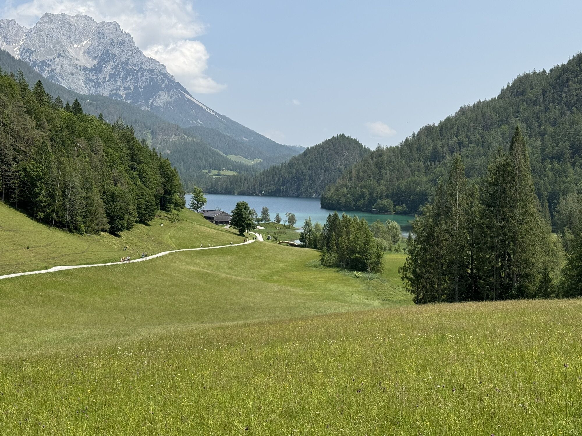


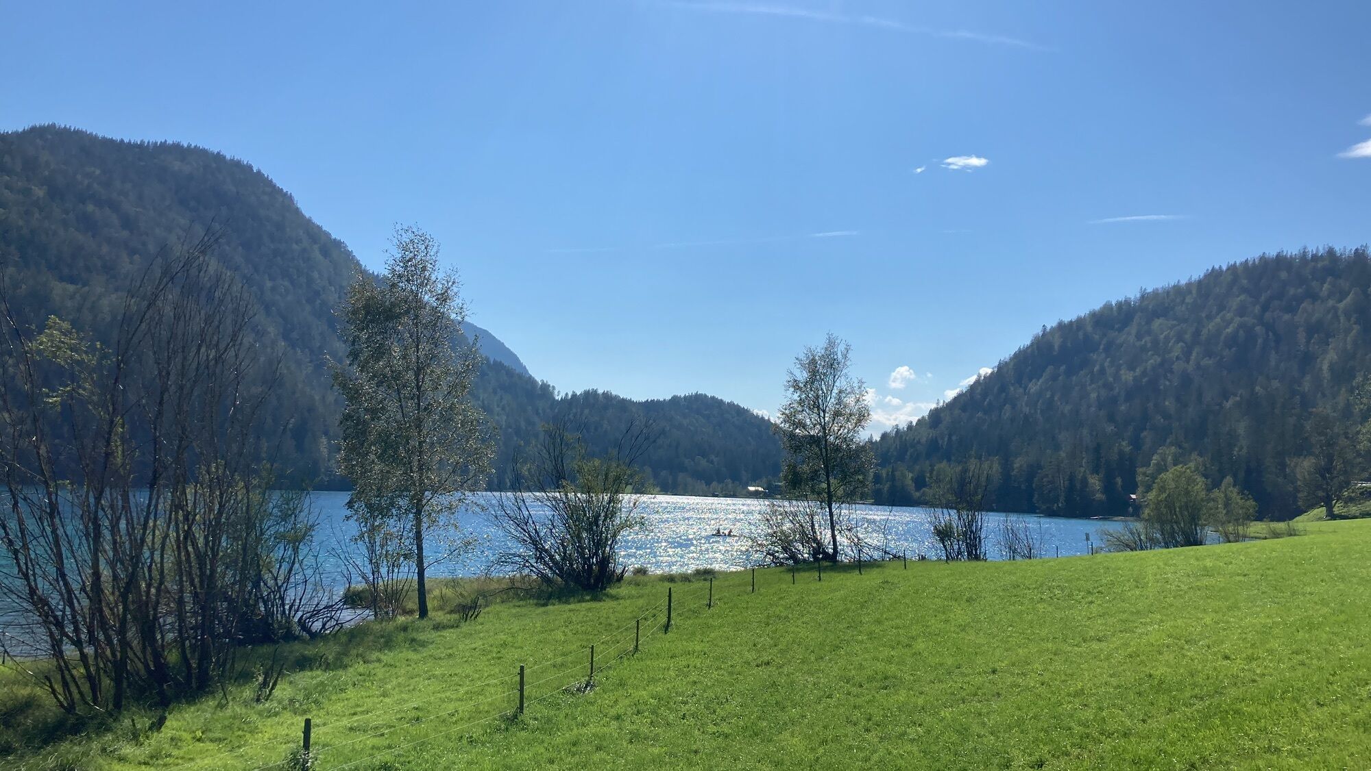

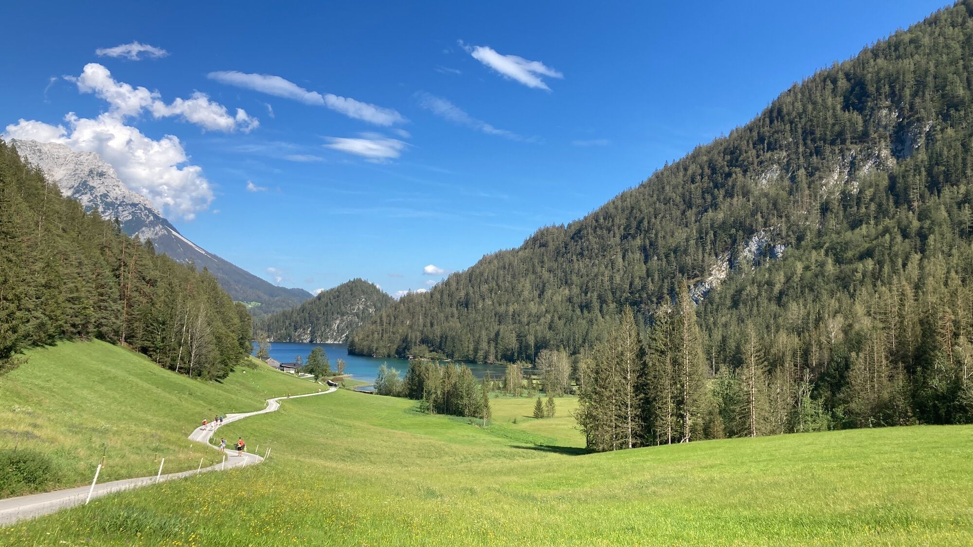
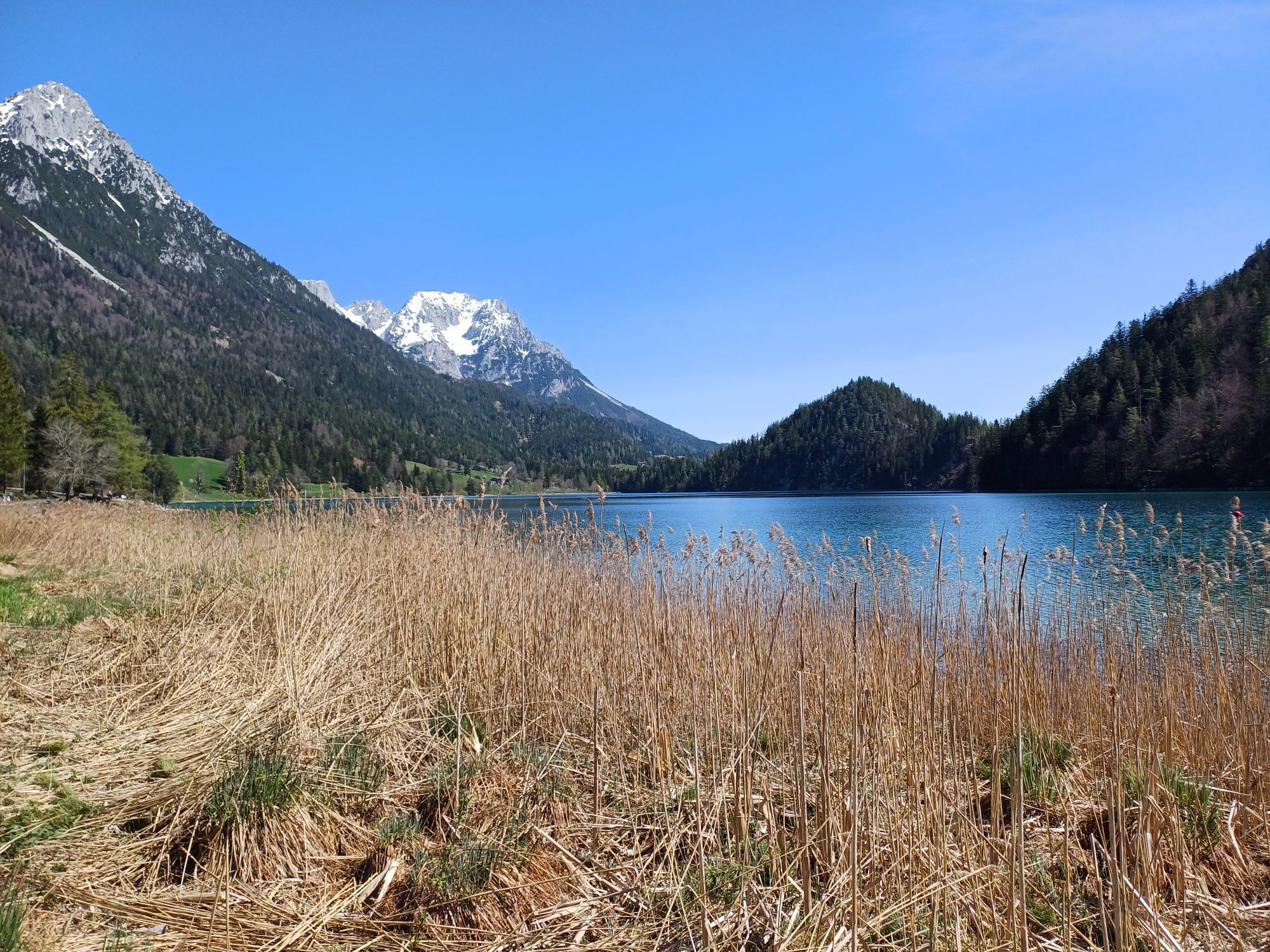


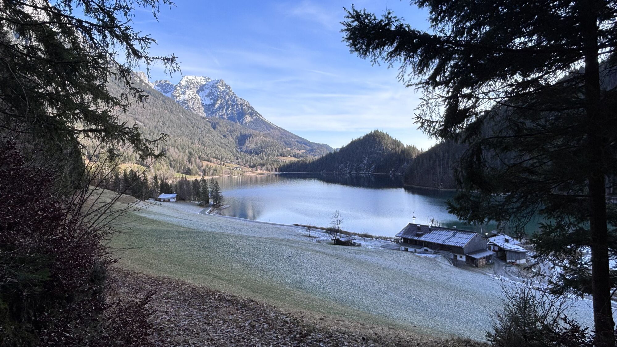

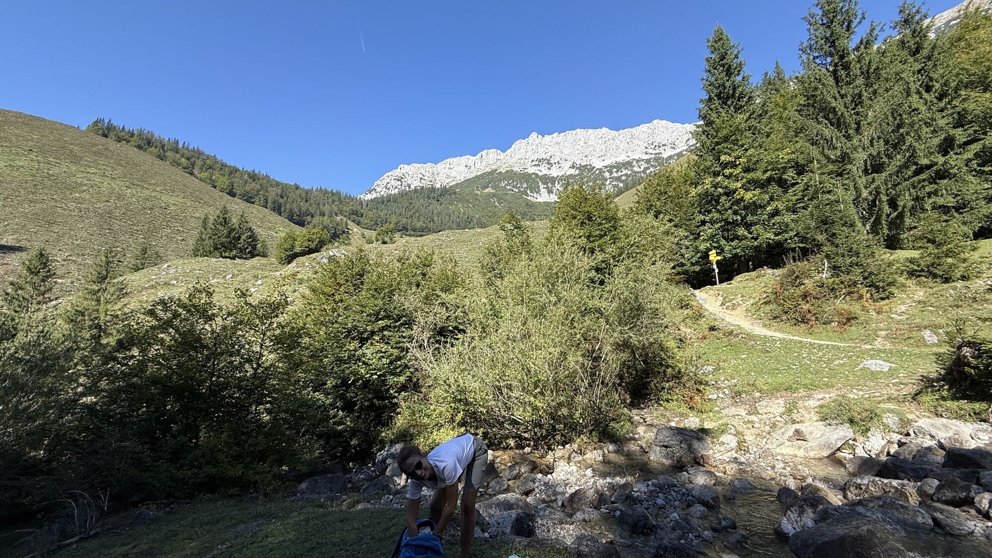


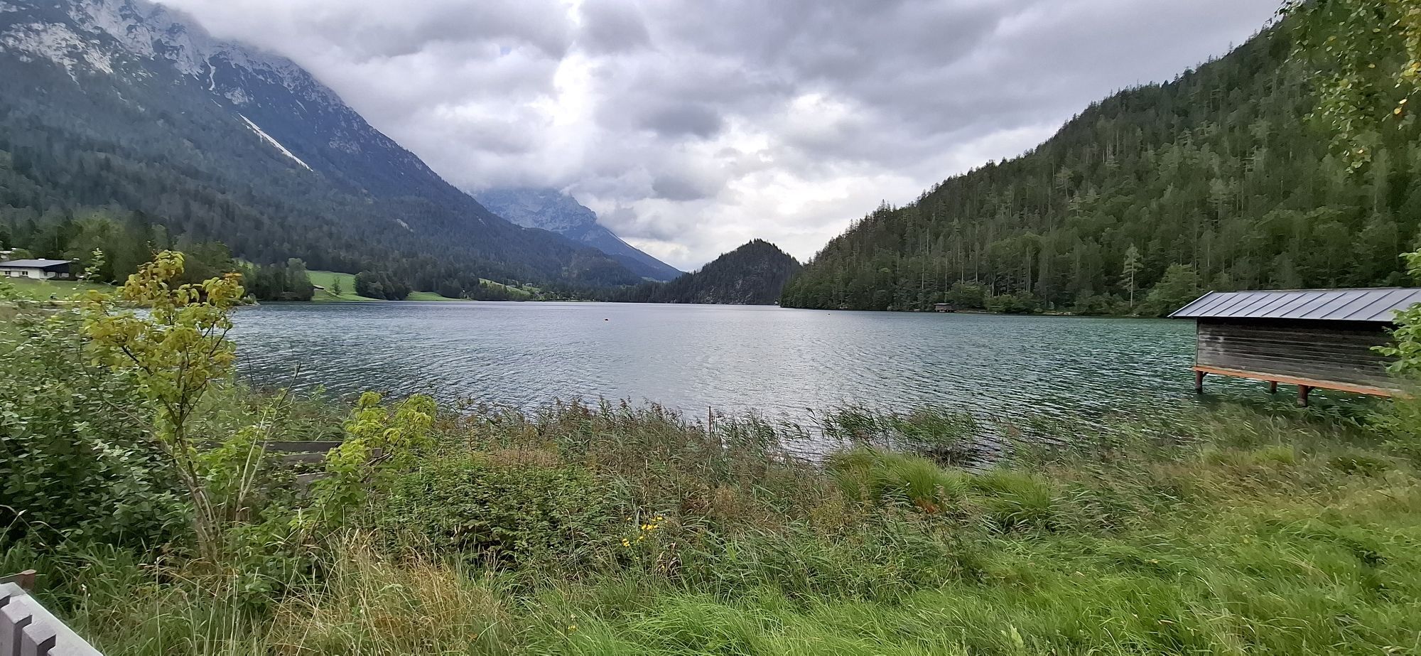
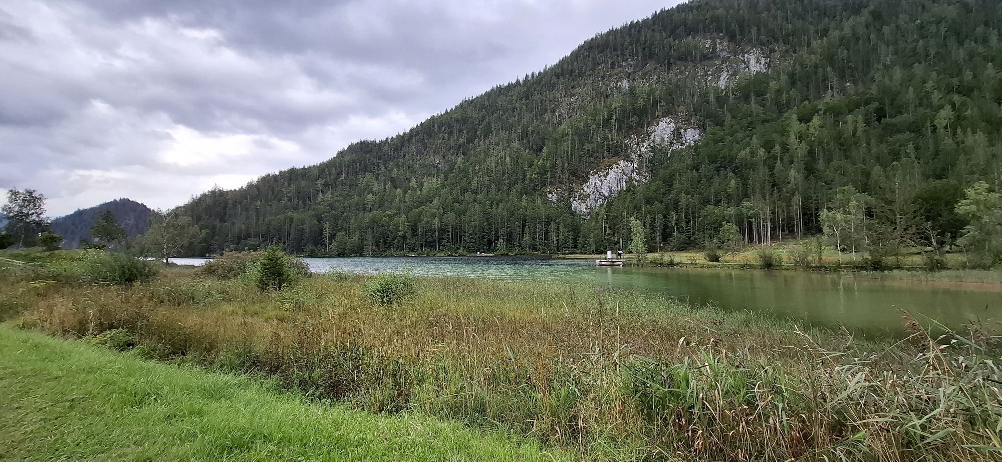


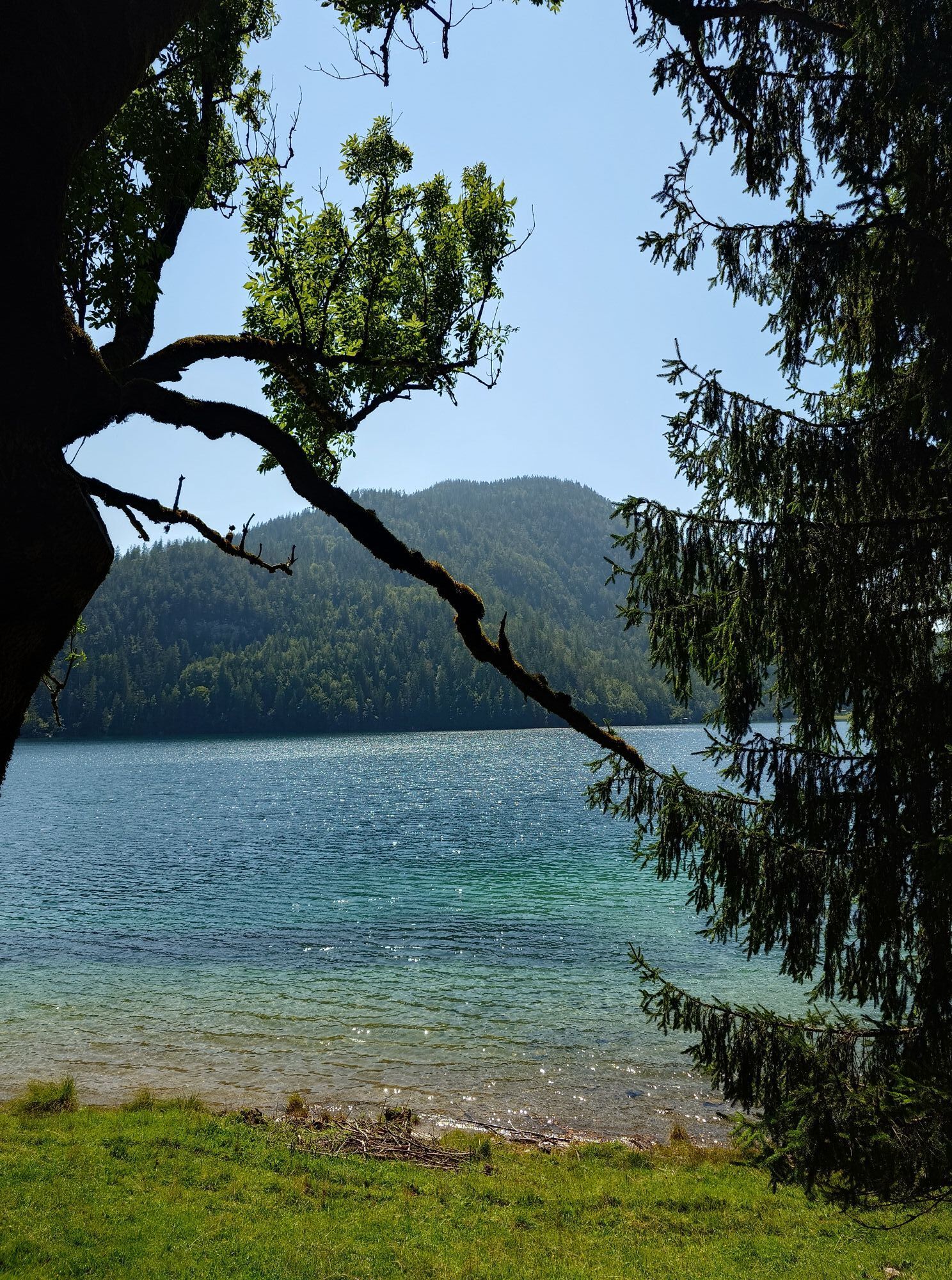
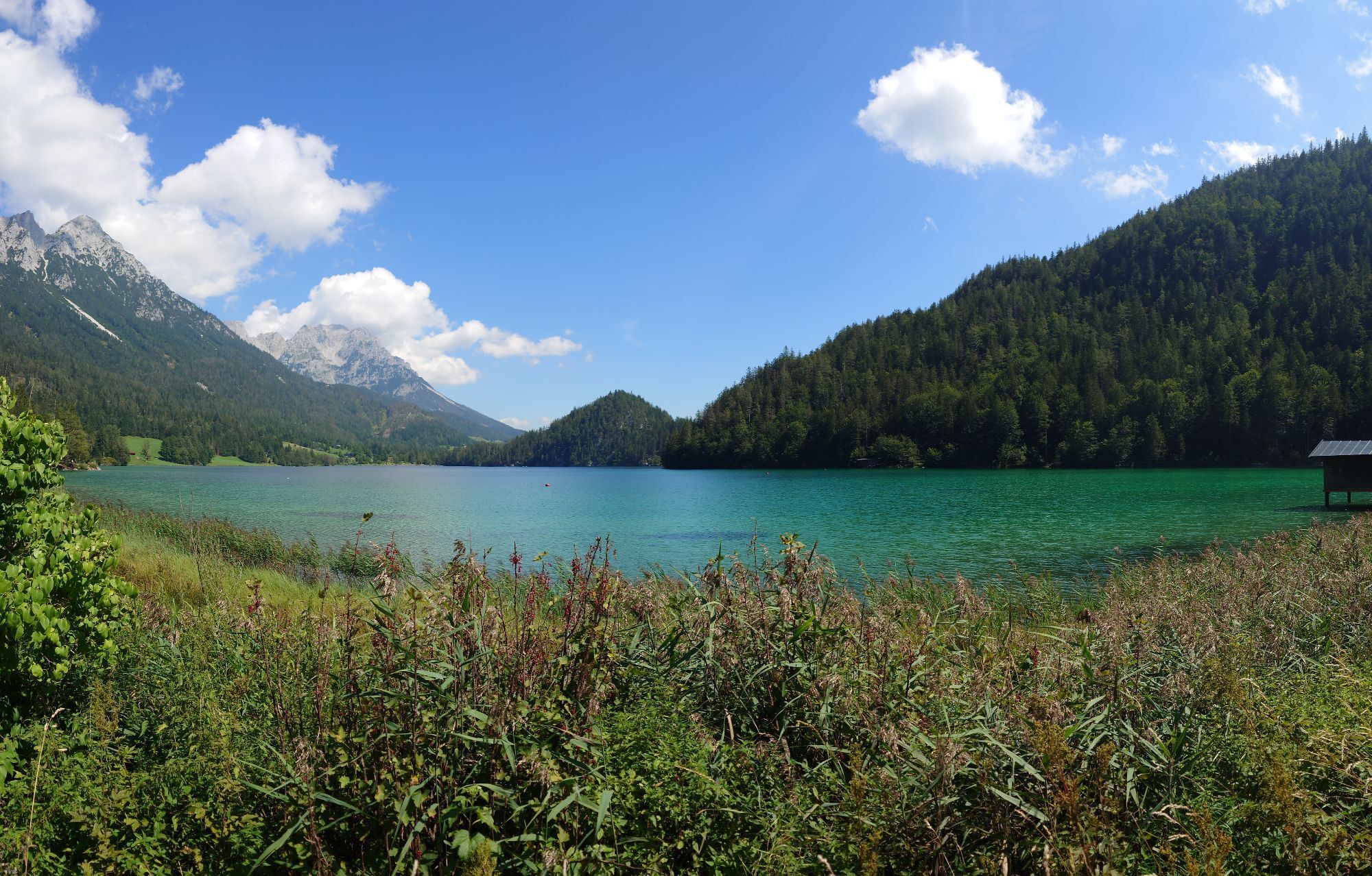
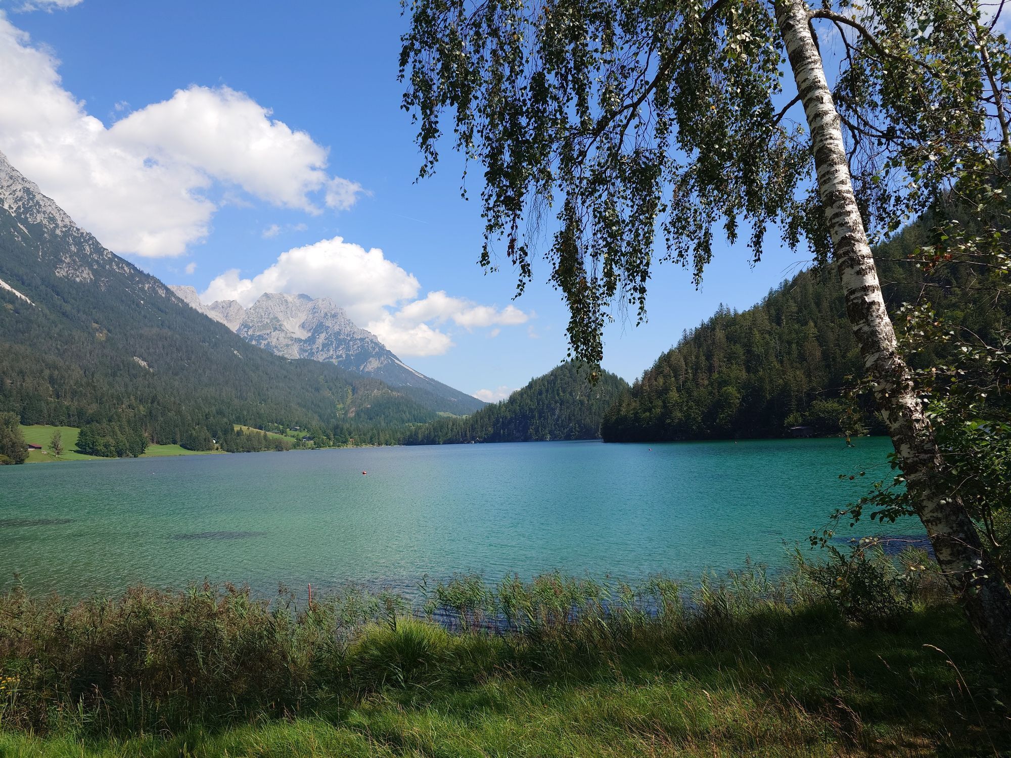

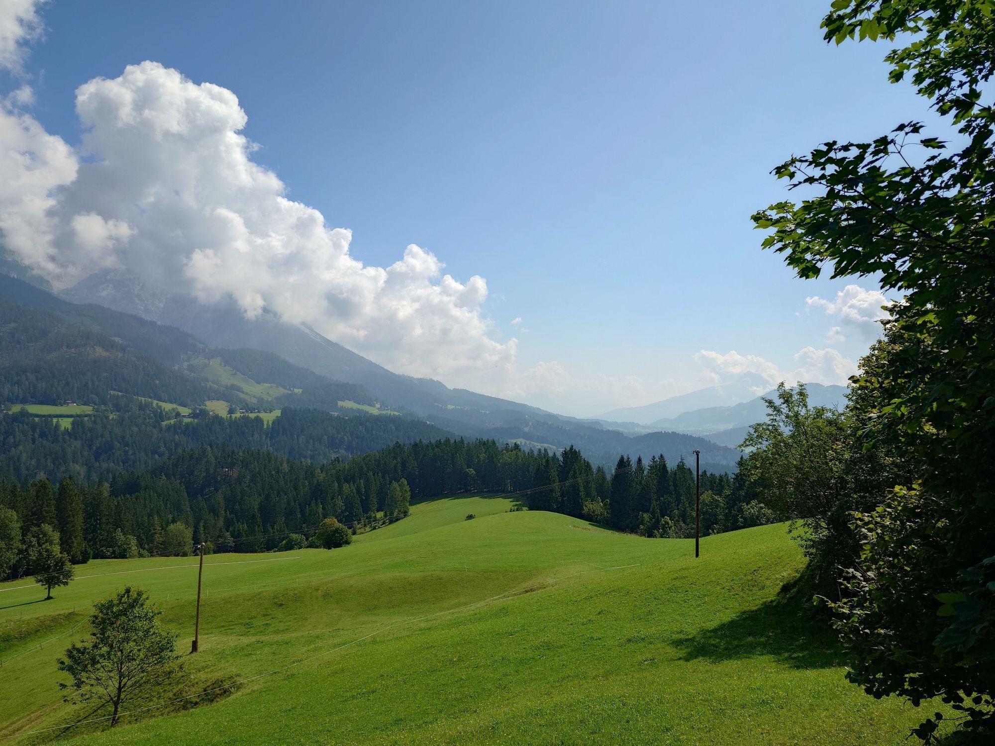


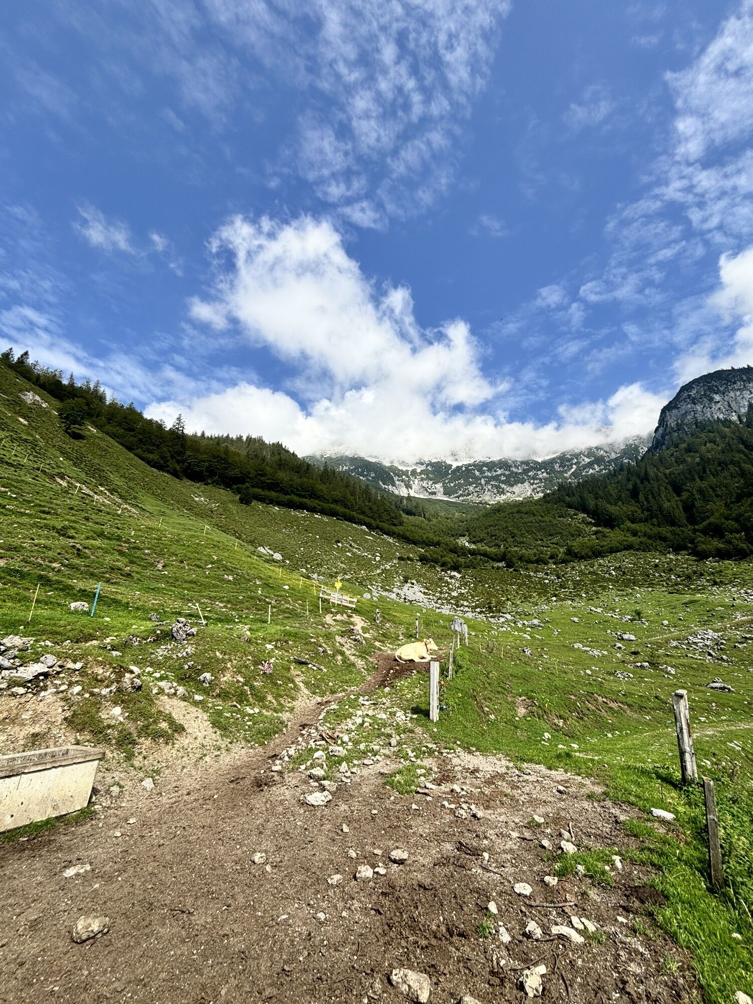


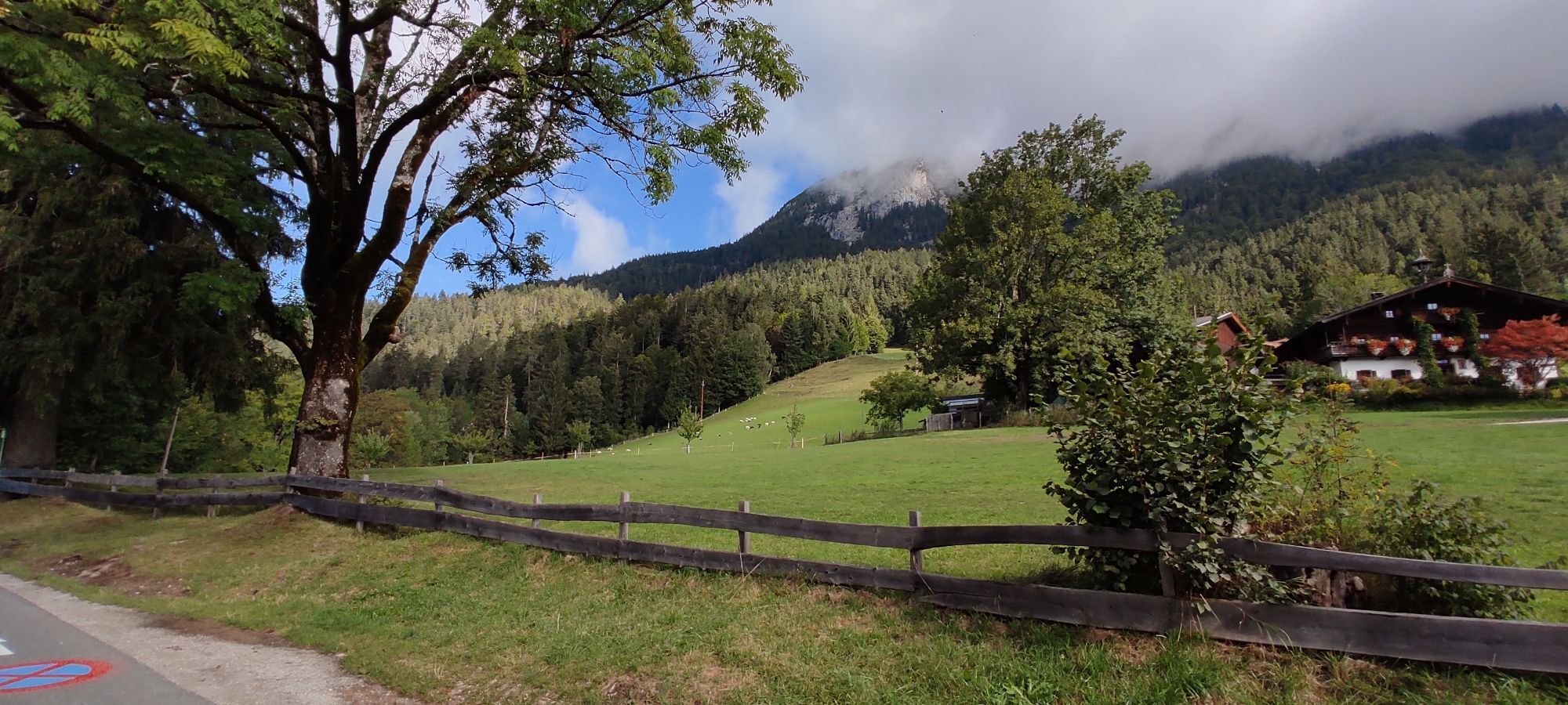
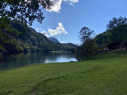
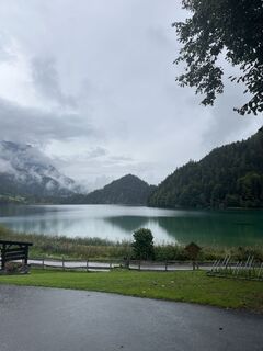
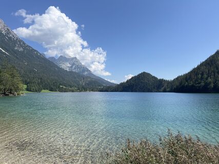
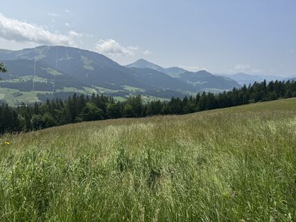
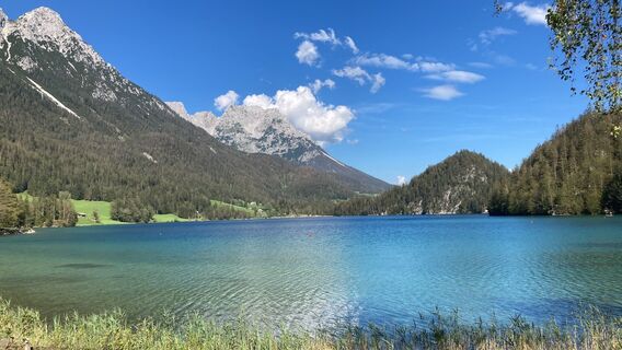
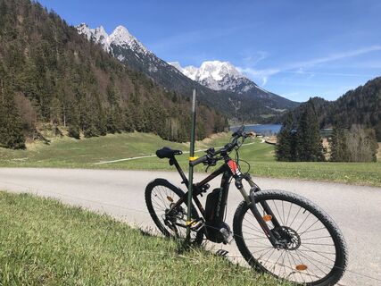
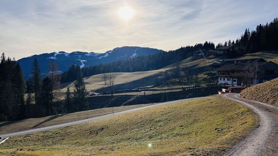
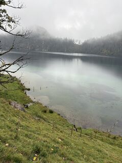
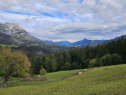
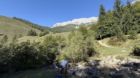
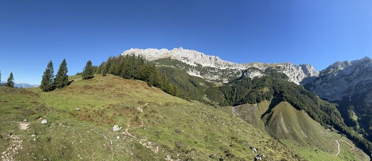
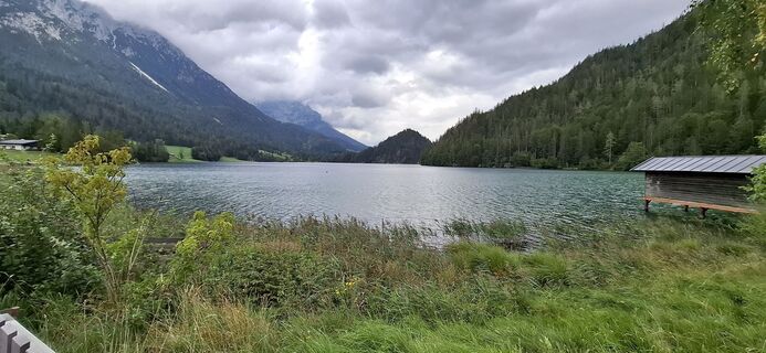
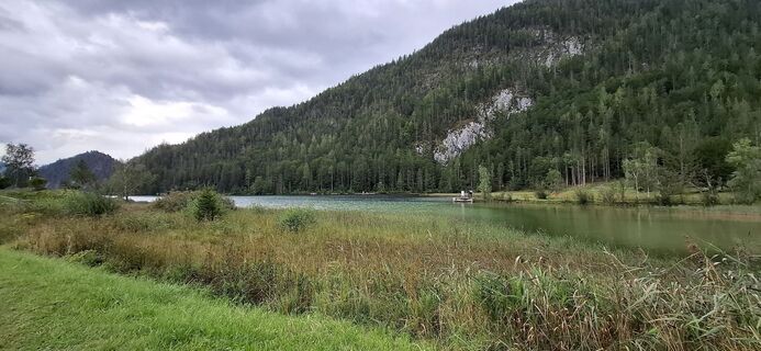
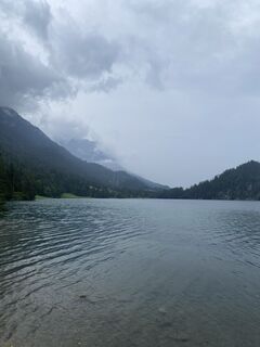
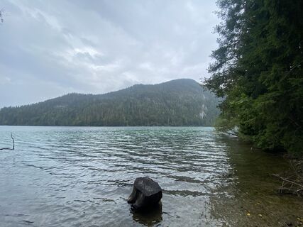
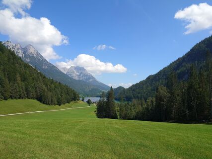
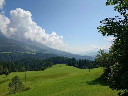
The MTB tour starts at Scheffau Community Hall. Cycle westwards via district Seebach uphill to Obholzhof farm and Greidern. Then eastwards to Hintersteiner See lake and from Seestüberl car park along the...
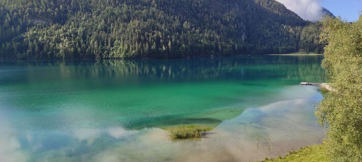
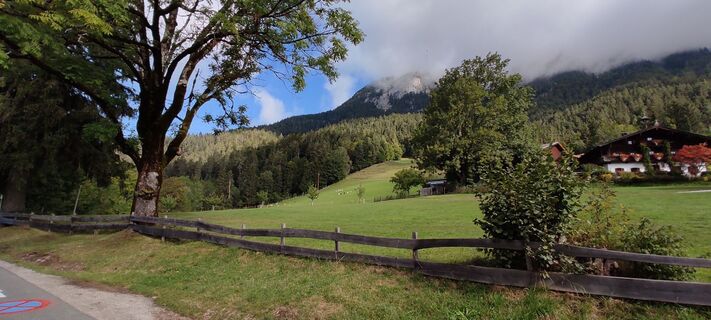
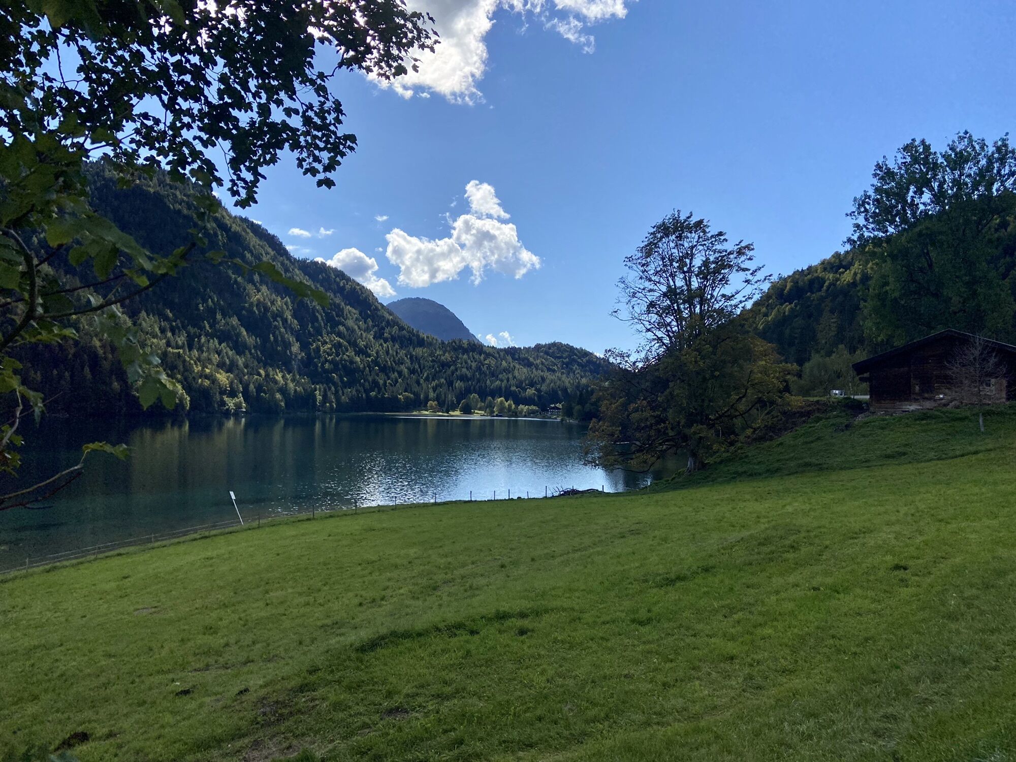
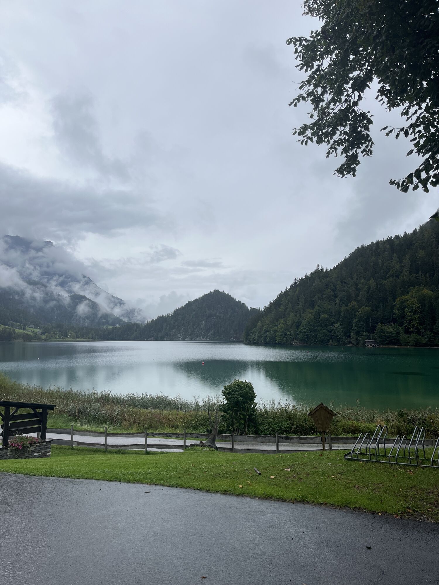
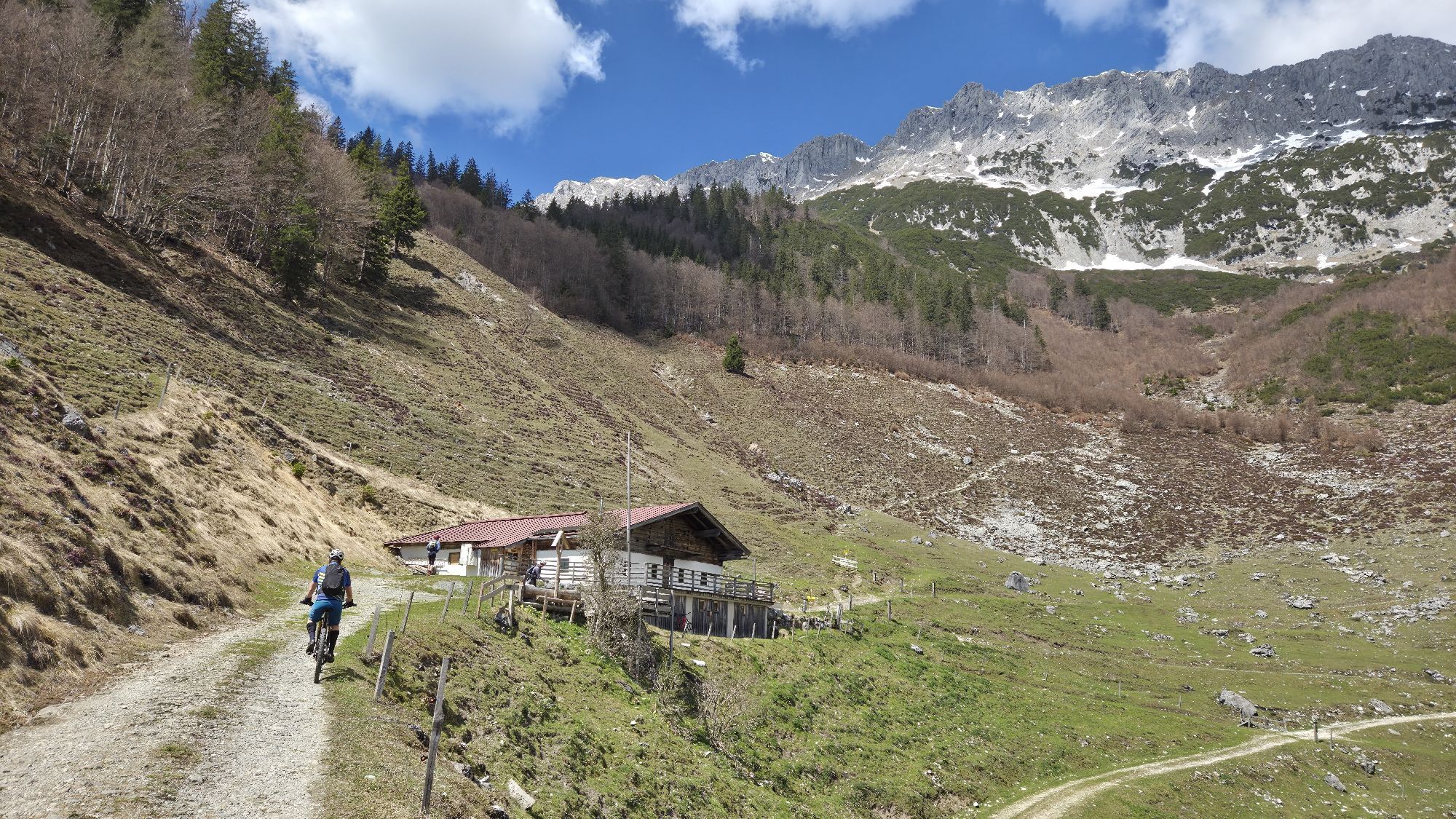
The MTB tour starts at Scheffau Community Hall. Cycle westwards via district Seebach uphill to Obholzhof farm and Greidern. Then eastwards to Hintersteiner See lake and from Seestüberl car park along the lake to Goingstätt refreshment stop/Maier. On the return leg, cycle from Seestüberl restaurant to Bärnstatt, to the Schiesslinghöfe farmhouses and uphill on the forest road to the quaint Kaiseralm mountain hut. Continue downhill on the forest road to the Jägerwirt and back to the village on the asphalt road.
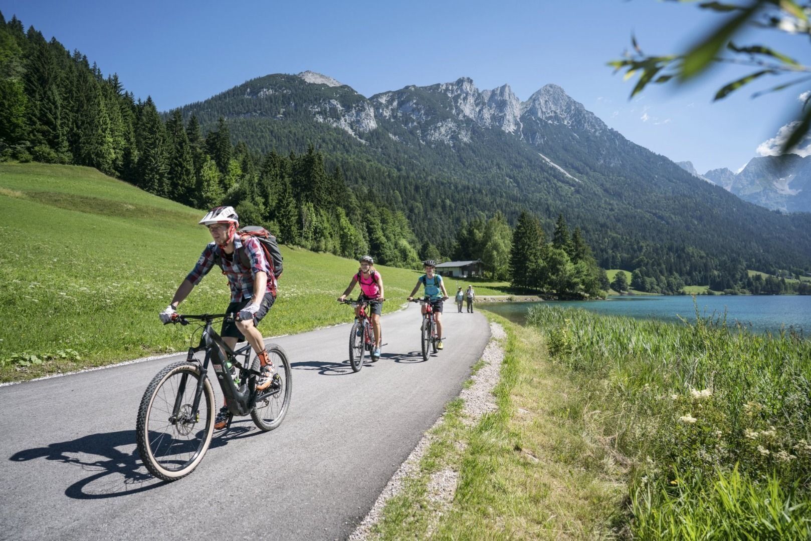
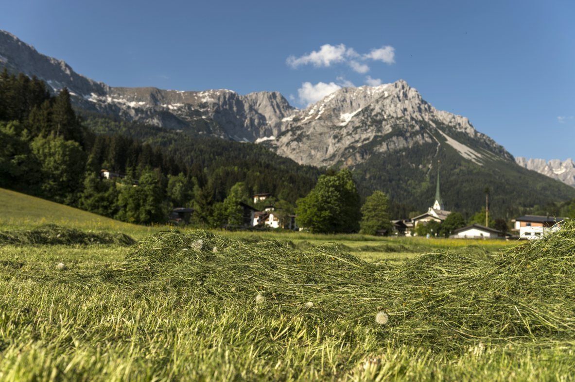
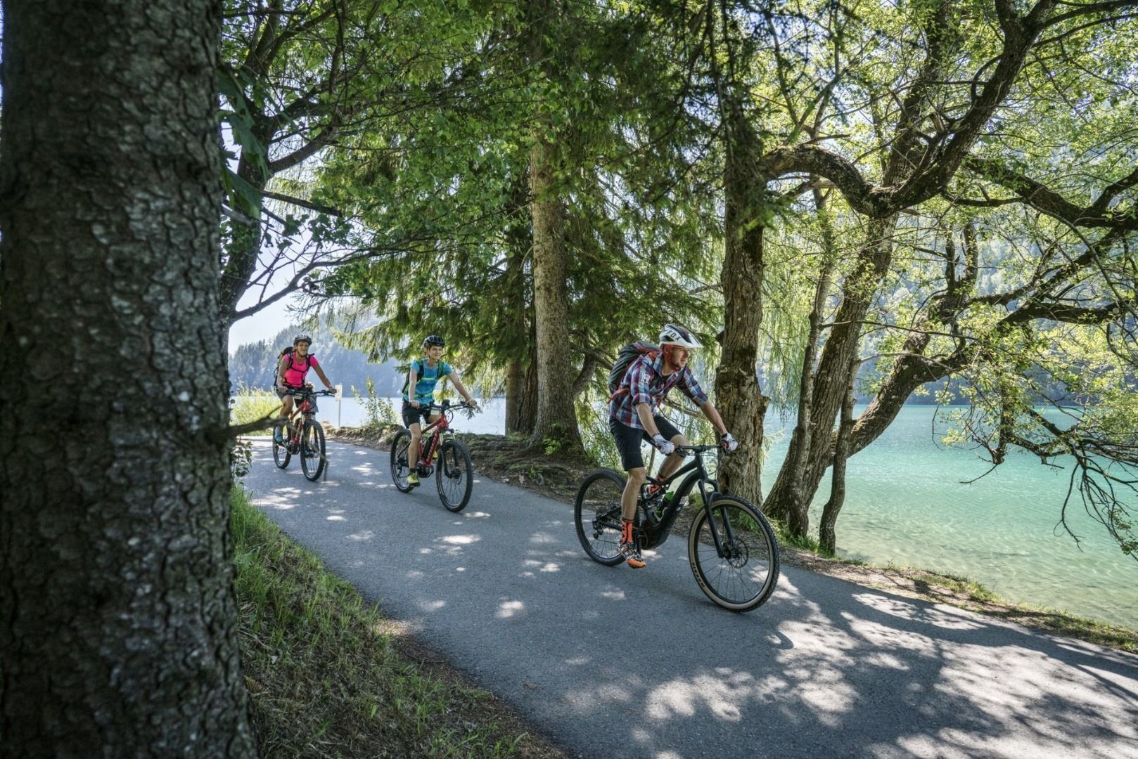
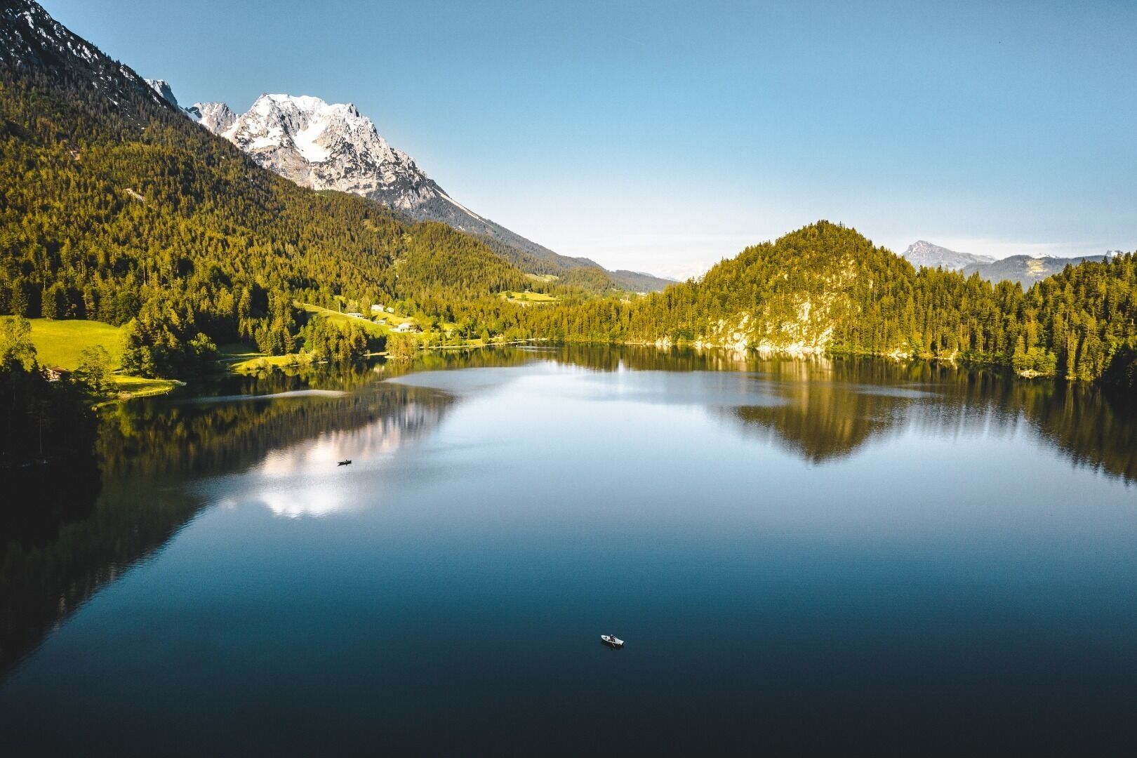
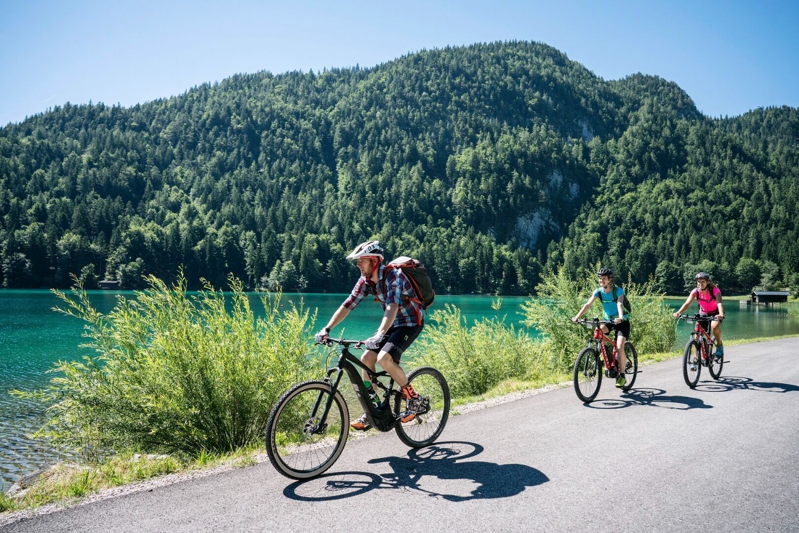
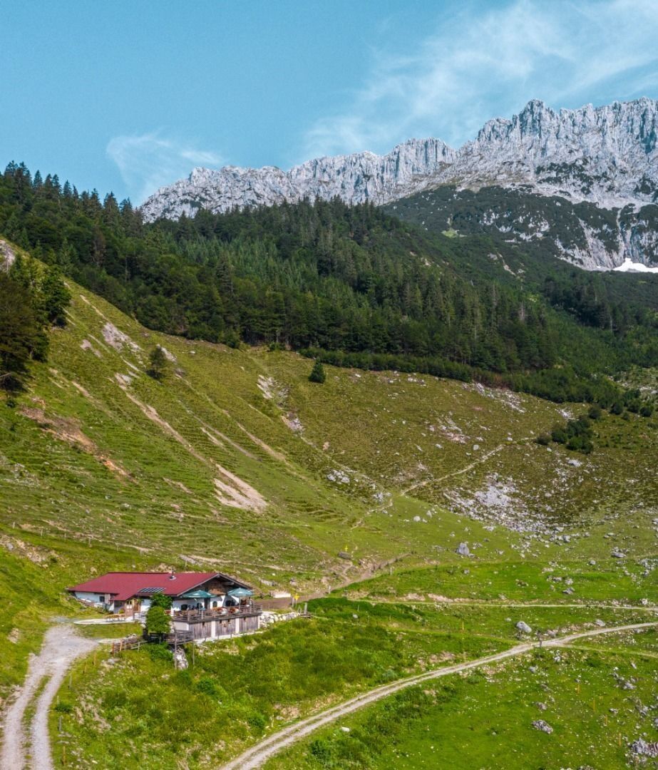
“Mountain bike trail no. 338” starts at Scheffau’s Community Hall/Church (car park). You bike through the Sonnwies district to the Café Rosemarie and then uphill to the Obholzhof farm and Hochegg mountain. You turn right and head downhill to the Hintersteiner See lake. You turn left at the Seestüberl car park and bike alongside the lake to the Pension Maier. The same road takes you back to the Seestüberl restaurant. The route continues via Bärnstatt to the Schiesslinghöfe and uphill to the Kaiseralm mountain hut. It’s then downhill (in parts very steep - you’ll have to push your bike) till you reach the Jägerwirt inn via the Wegscheid-Niederalm mountain hut. From there you take the road back to the village.
Wilder Kaiser hiking map (1:25.000) available in the tourist information centres Ellmau, Going, Scheffau and Söll
Cycle helmet, comfortable cycling clothes, a change of clothes, wind protection, cycling gloves, poss. rucksack with water bottle and food, first aid kit, poss. servicing/repair kit, bike map, route description and information materials (GPX track), ID, insurance card, cash
Heading from Wörgl, Kufstein or St. Johann on the B178 road, take the exit to Scheffau. Turn left immediately after the church, then drive past the community hall where you reach the public car park on the right-hand side.
Public car park, Scheffau (740 m), north of the Community Hall - free
Webové kamery z prehliadky
Obľúbené výlety v okolí
-
4,5
Über Hintersteinersee und Walleralm aufs Hochegg
svetloTuristika 12,2 km -
4,5
Wanderung um den Hintersteinersee
svetloTuristika 5,29 km -
4,7
Hintersteinersee
strednáTuristika 9,87 km -
4,7
Musikantensteig zur Naunspitze
strednáTuristika 8,96 km -
4,2
Bergdoktor Wohnhaus "Gruberhof" (Köpfing Hof) Rundeweg-Söll
svetloTuristika 8,70 km -
4,9
Route 209: Brechhornhaus-Choralpe
ťažkéMountainbike 24,4 km -
5,0
Kirchdorf: Stripsenjoch Klettersteige
ťažkéVia ferrata 3,76 km -
5,0
Stripsenjoch Klettersteige/ Rundwanderung von Griesener Alm über Stripsenjochhaus und Feldberg
strednáVia ferrata 10,2 km -
4,5
Pyramidenspitze, Vordere Kesselschneid
ťažkéTuristika 12,8 km -
4,9
Ellmauer Tor (22.07.2020)
strednáTuristika 9,32 km

Turistika a stopovanie


Nenechajte si ujsť ponuky a inšpiráciu na ďalšiu dovolenku
Vaša e-mailová adresa bol pridaný do poštového zoznamu.