


Ötztaler Radmarathon route 2022
Úroveň náročnosti: 6
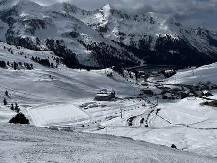
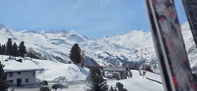
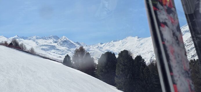
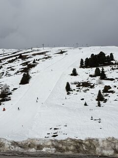
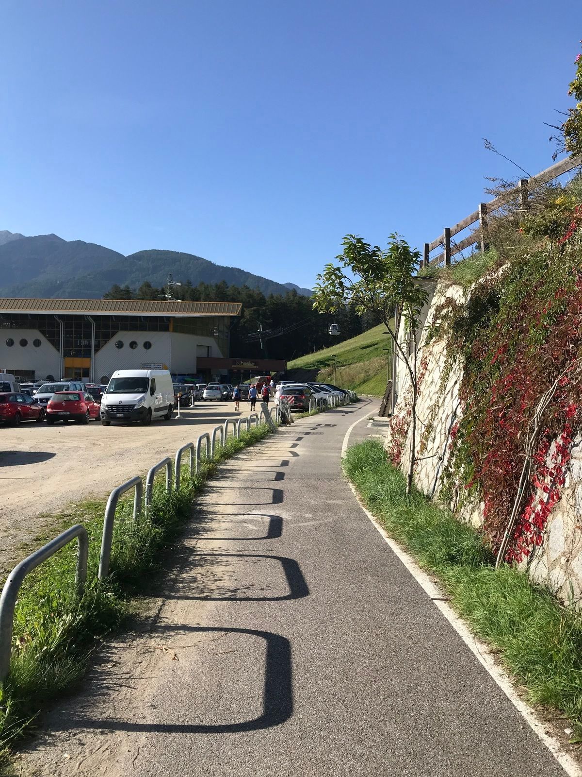
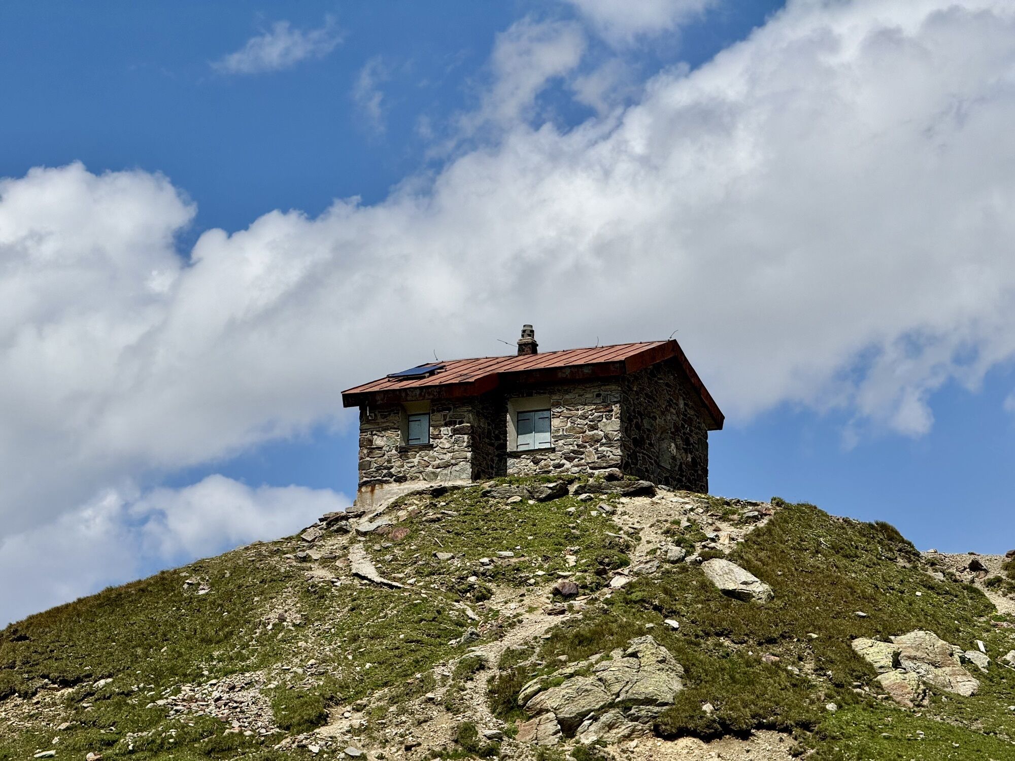
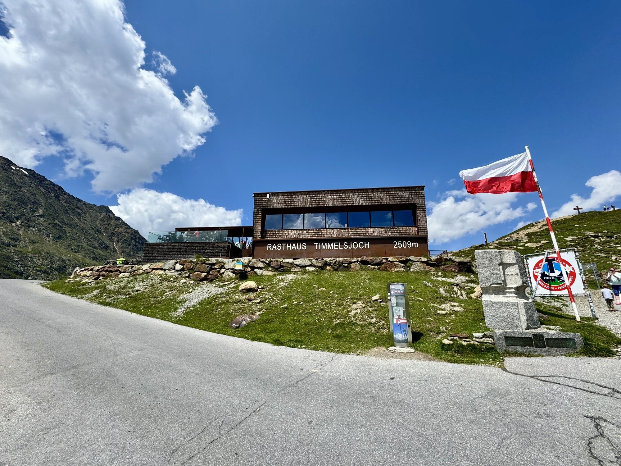
Fotografie našich používateľov
-
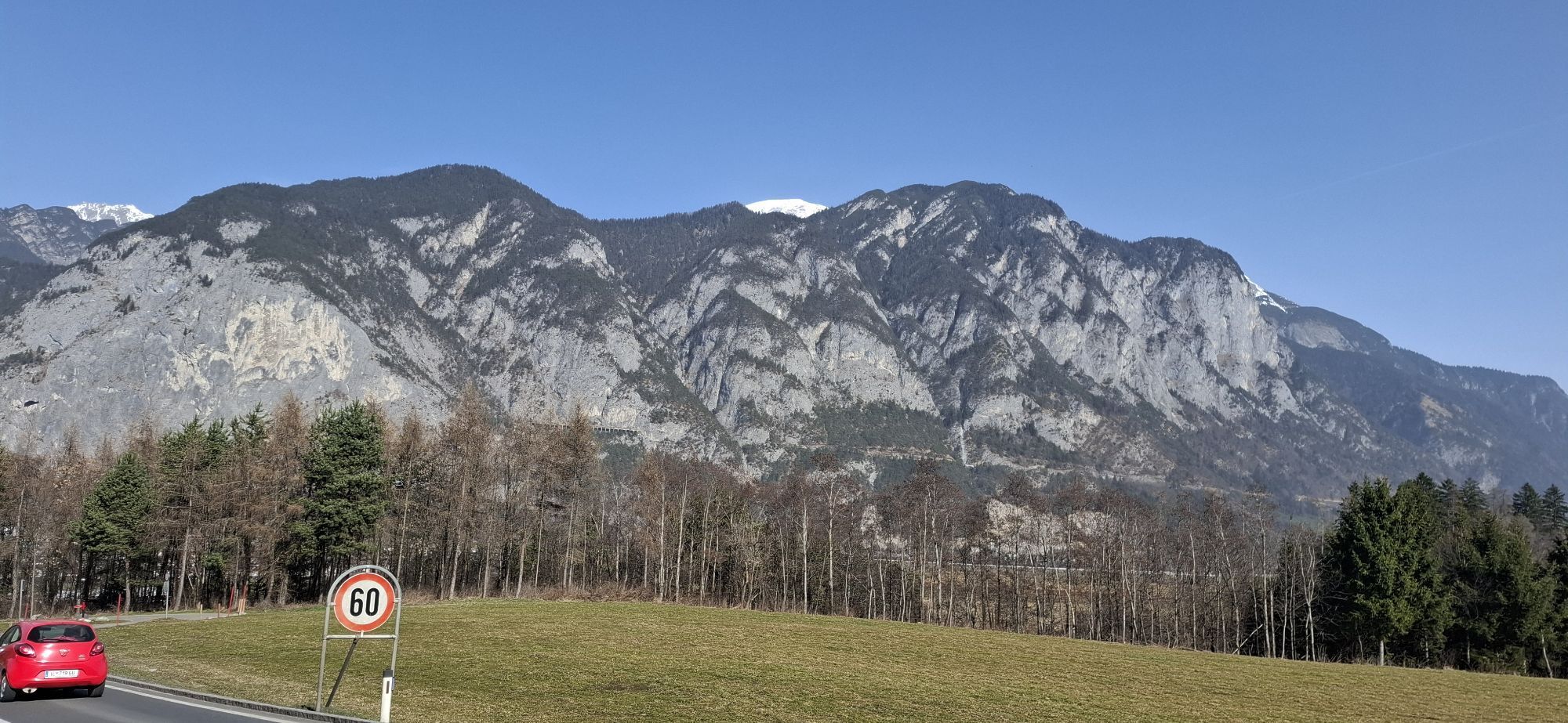
 © ADV.tirolVytvorené dňa 18.07.2024
 -
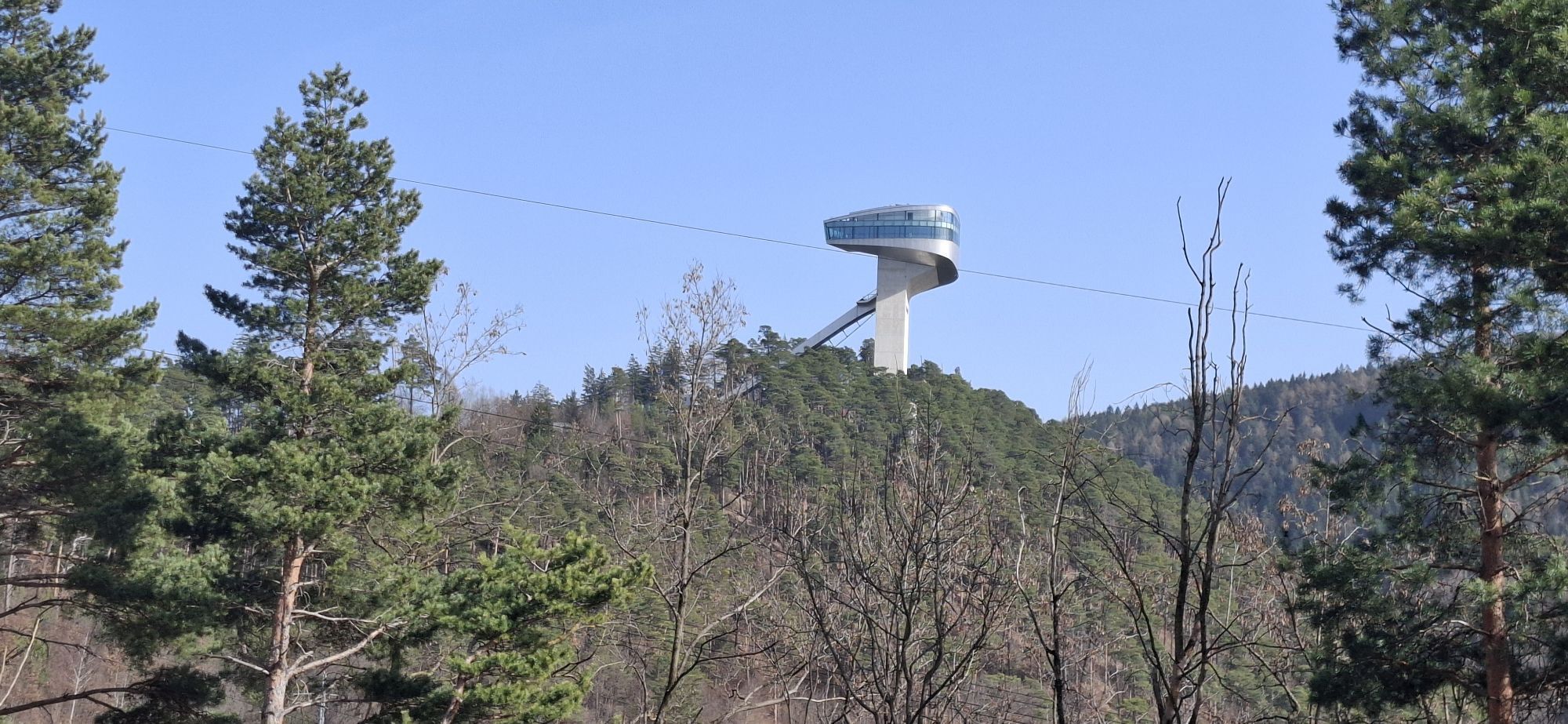
 © Christian FreythalerVytvorené dňa 07.03.2026
 -
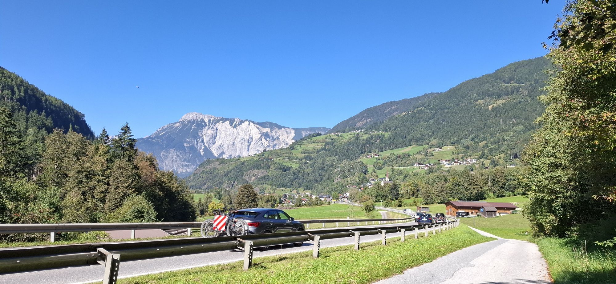
 © Christian FreythalerVytvorené dňa 07.03.2026
 -
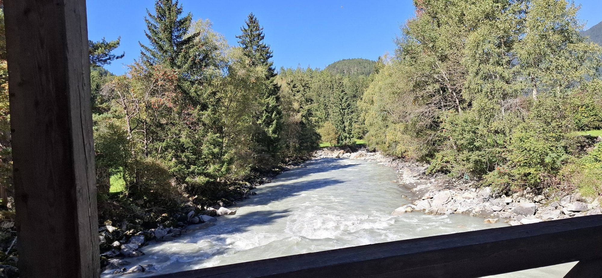
 © Christian FreythalerVytvorené dňa 20.09.2025
 -
 © Christian FreythalerVytvorené dňa 20.09.2025
 -
 © PUBI 2019Vytvorené dňa 25.08.2025
 -

 © Werner FögerVytvorené dňa 18.06.2025
 -
 © Werner FögerVytvorené dňa 10.06.2025
 -
 © Werner FögerVytvorené dňa 10.06.2025
 -
 © Werner FögerVytvorené dňa 10.06.2025
 -
 © Werner FögerVytvorené dňa 10.06.2025
 -
 © Werner FögerVytvorené dňa 10.06.2025
 -
 © Werner FögerVytvorené dňa 10.06.2025
 -
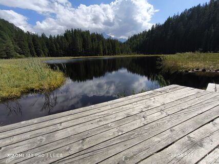
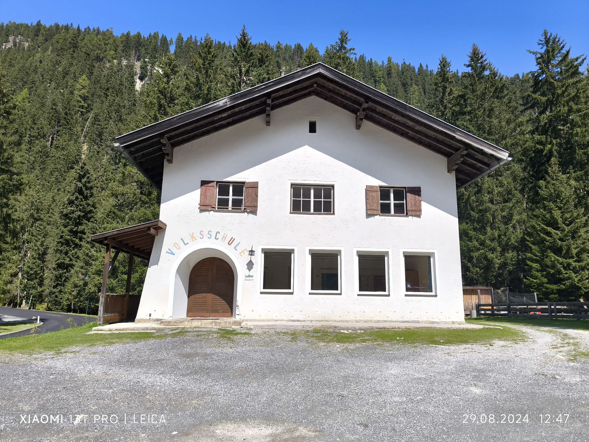
 © Karl-HeinzVytvorené dňa 29.08.2024
 -
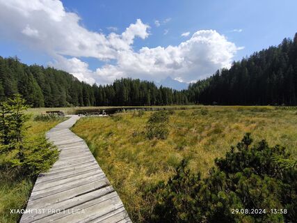
 © Karl-HeinzVytvorené dňa 29.08.2024
 -
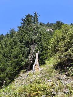
 © Karl-HeinzVytvorené dňa 29.08.2024
 -
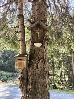
 © Karl-HeinzVytvorené dňa 29.08.2024
 -
 © Karl-HeinzVytvorené dňa 29.08.2024
 -
 © Karl-HeinzVytvorené dňa 29.08.2024
 -
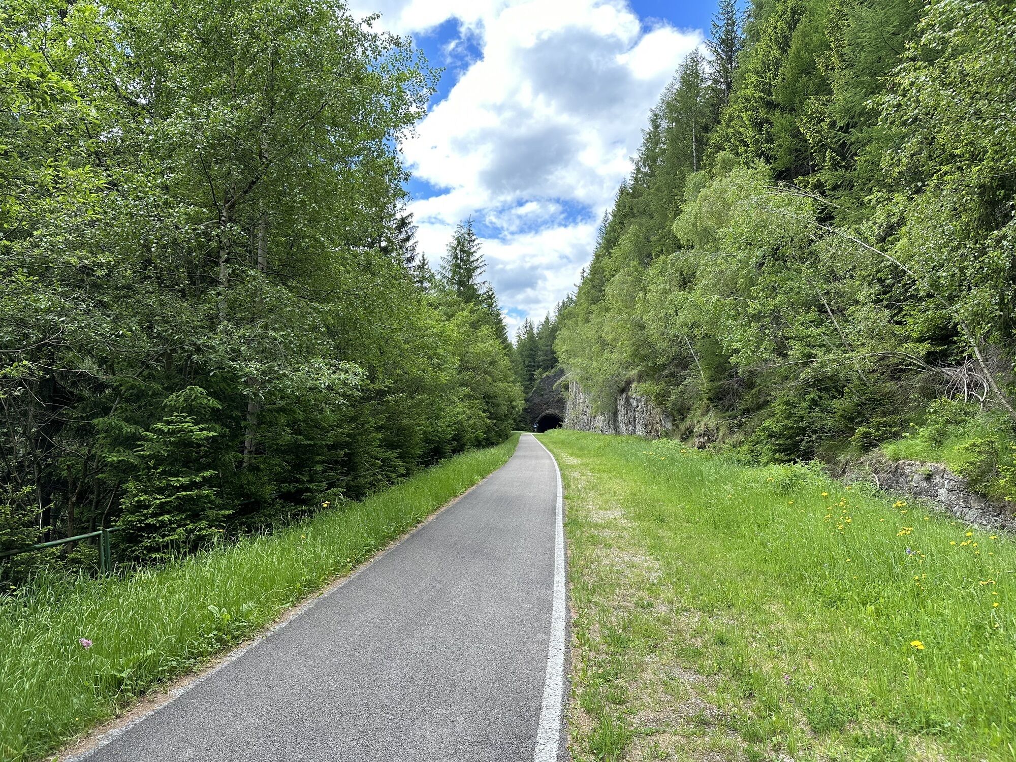
 © Martin GlaserVytvorené dňa 10.08.2024
 -
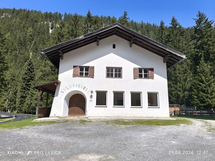
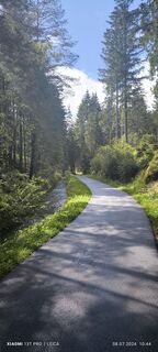
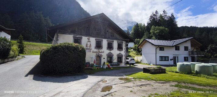
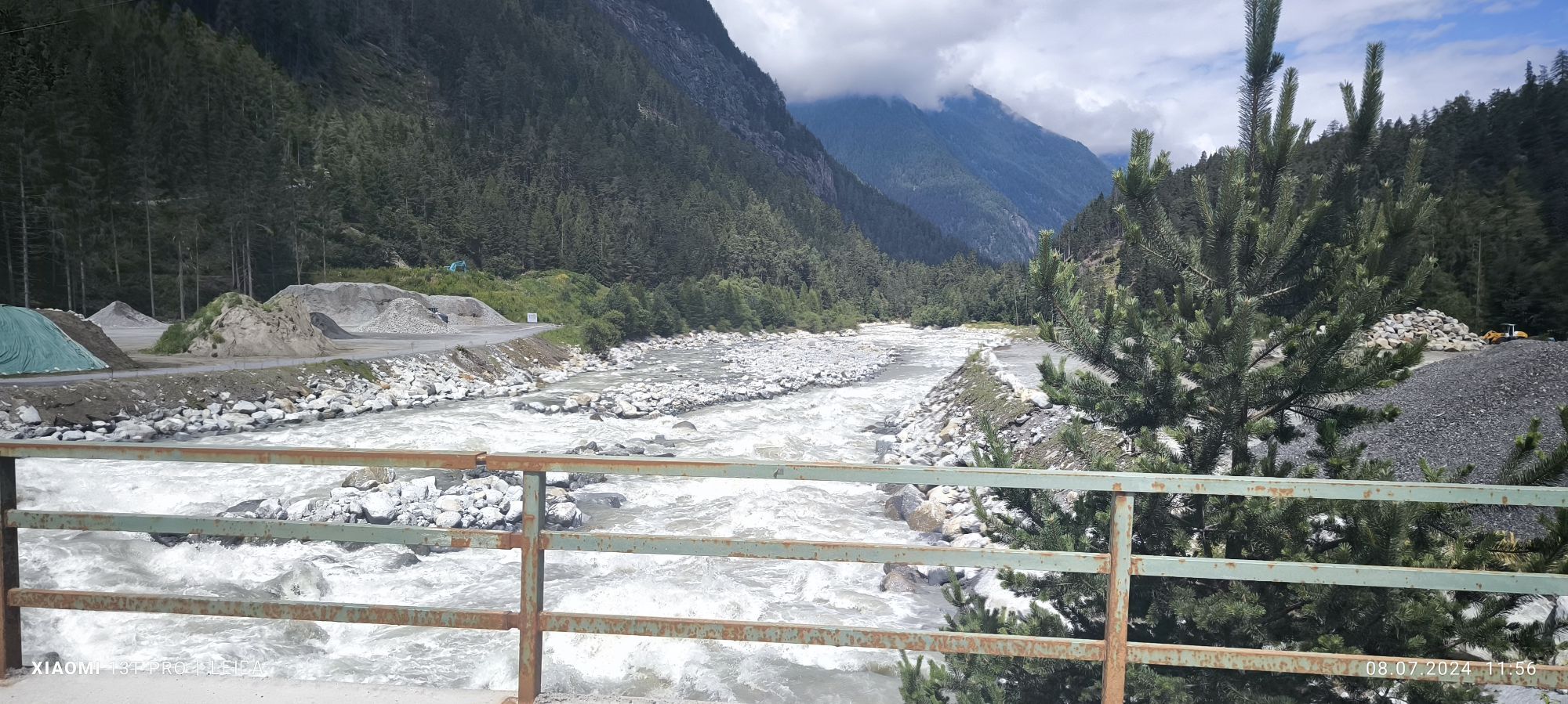
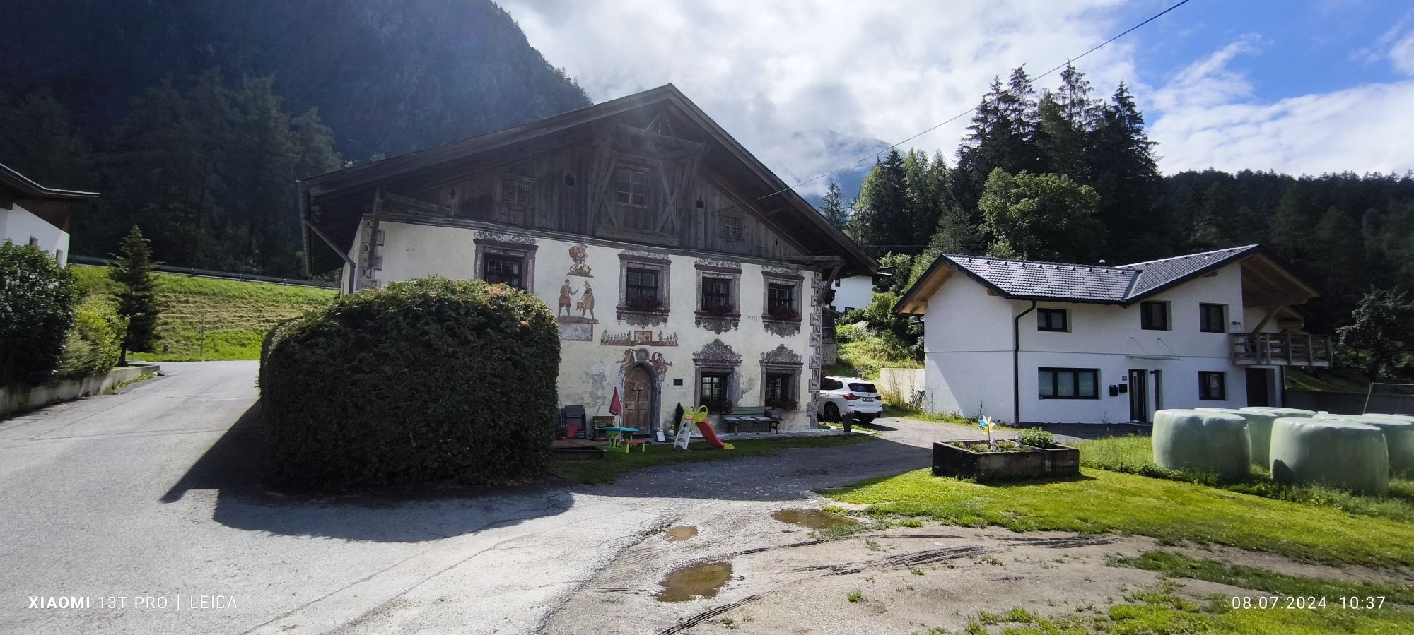
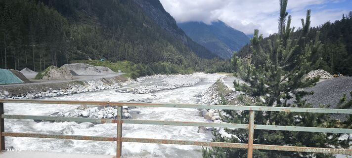 © Karl-HeinzVytvorené dňa 08.07.2024
 -
 © Karl-HeinzVytvorené dňa 08.07.2024
 -
 © Karl-HeinzVytvorené dňa 08.07.2024
 -
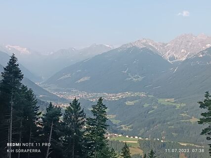 © Karl-HeinzVytvorené dňa 11.07.2023
 -
 © Eberl ChristianVytvorené dňa 11.06.2023
 -
 © Christian LerchsterVytvorené dňa 17.09.2019
 -
 © Christian LerchsterVytvorené dňa 17.09.2019
 -
 © Christian LerchsterVytvorené dňa 17.09.2019
 -
 © Christian LerchsterVytvorené dňa 17.09.2019
 -
 © ADV.tirolVytvorené dňa 21.07.2024
 -
 © ADV.tirolVytvorené dňa 21.07.2024
 -
 © ADV.tirolVytvorené dňa 21.07.2024
 -
 © ADV.tirolVytvorené dňa 21.07.2024
 -
 © ADV.tirolVytvorené dňa 18.07.2024
 -
 © ADV.tirolVytvorené dňa 18.07.2024
 -
 © ADV.tirolVytvorené dňa 18.07.2024
 -

 © Ralf TheuneVytvorené dňa 19.04.2026
 -
 © STLA1977Vytvorené dňa 09.04.2026
 -
 © Ferdinand HellerVytvorené dňa 03.04.2026
 -
 © CharlemagneVytvorené dňa 28.03.2026
 -
 © CharlemagneVytvorené dňa 28.03.2026
 -
 © Daniel NohnsVytvorené dňa 11.03.2026
 -
 © Josef Sepp NagillerVytvorené dňa 07.03.2026
 -
 © Josef Sepp NagillerVytvorené dňa 07.03.2026
 -
 © DeeptoellnerVytvorené dňa 05.03.2026
 -

 © Marc LommelVytvorené dňa 28.02.2026
 -
 © Petra ZieriacksVytvorené dňa 27.01.2026
 -
 © Tim SchefflerVytvorené dňa 27.01.2026


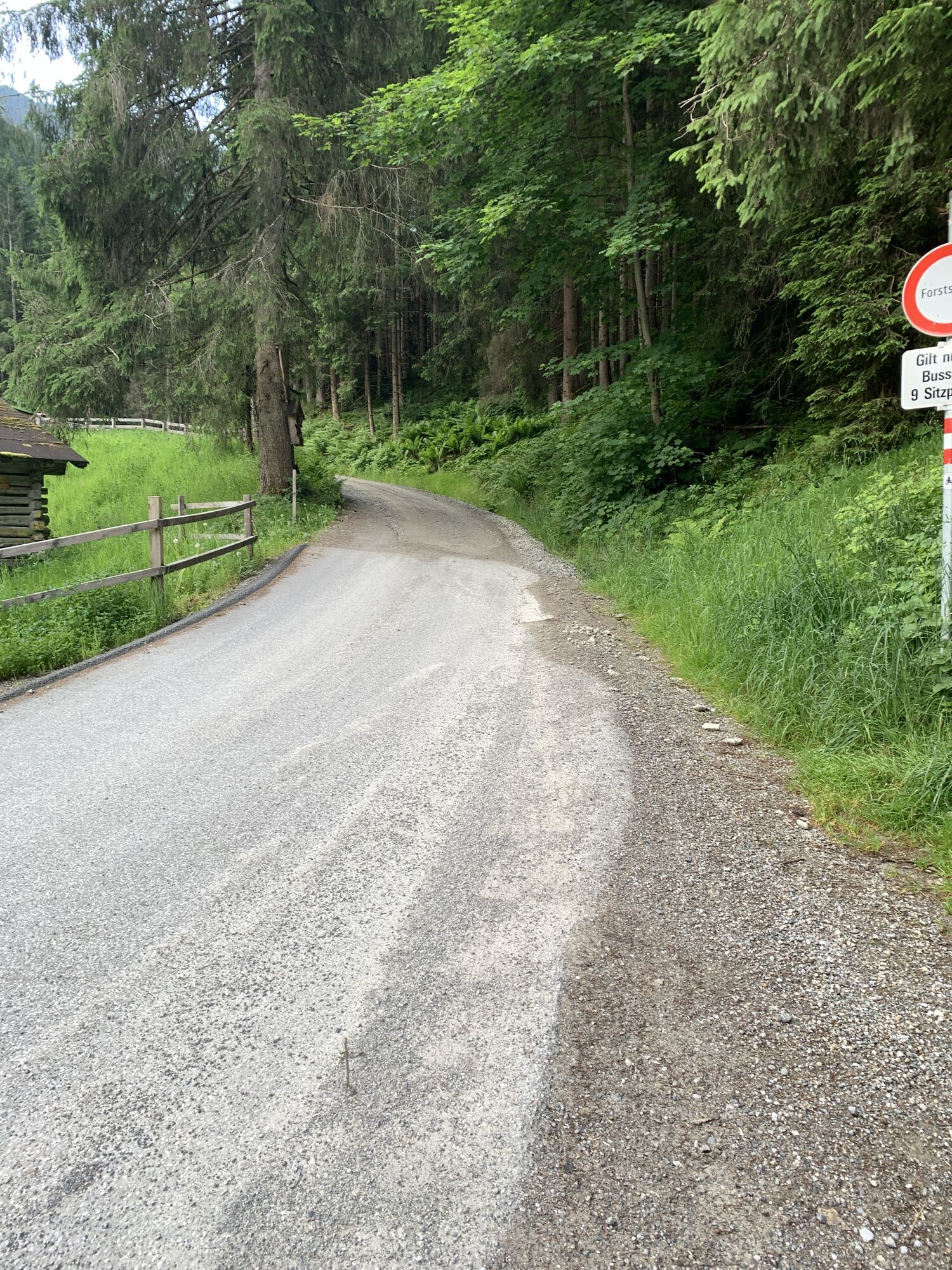
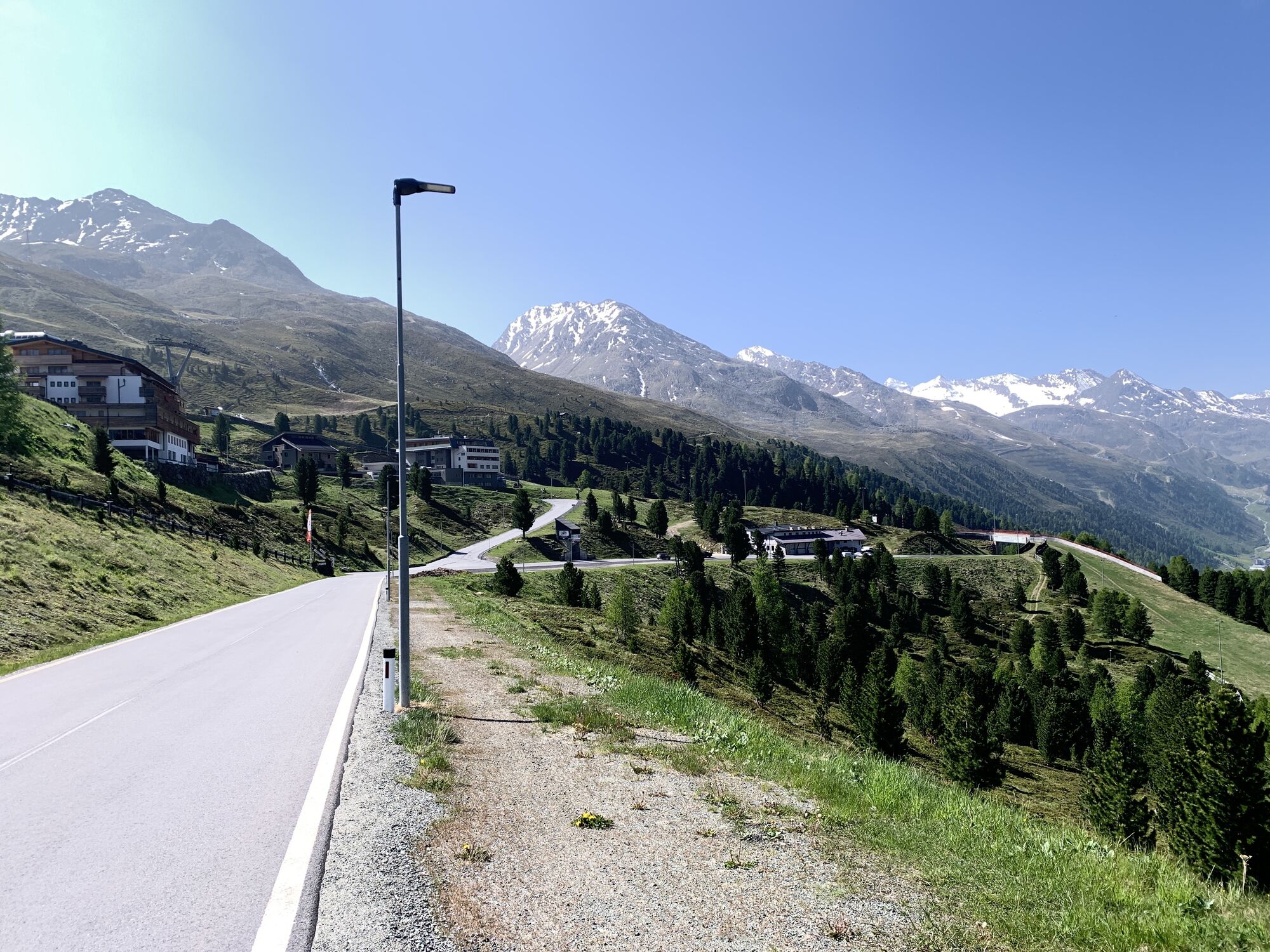


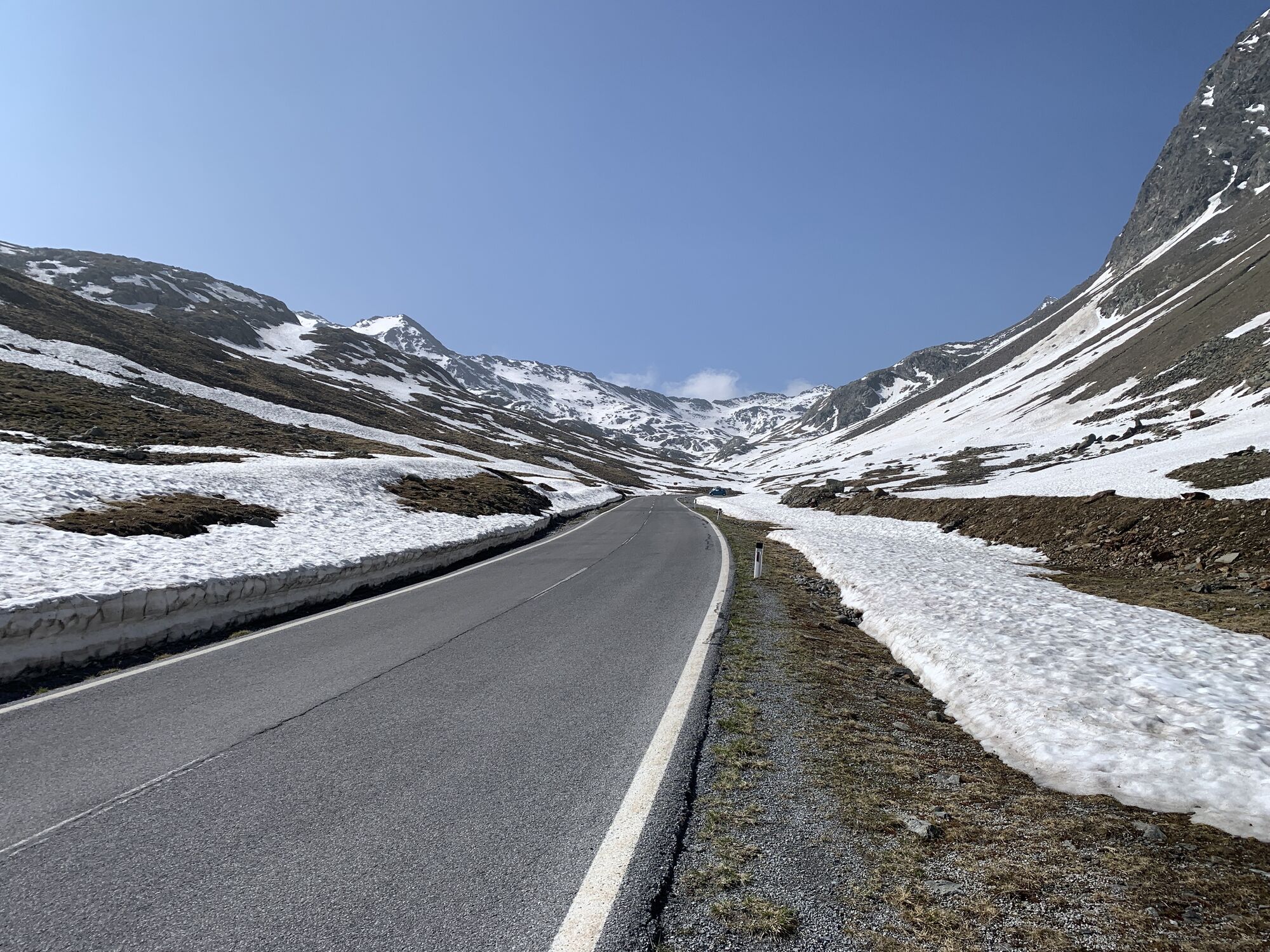
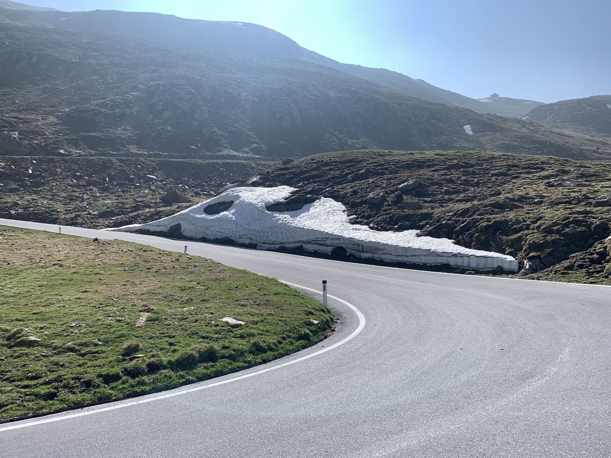
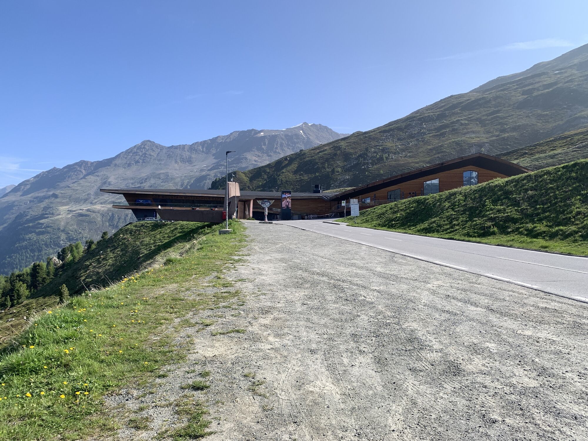


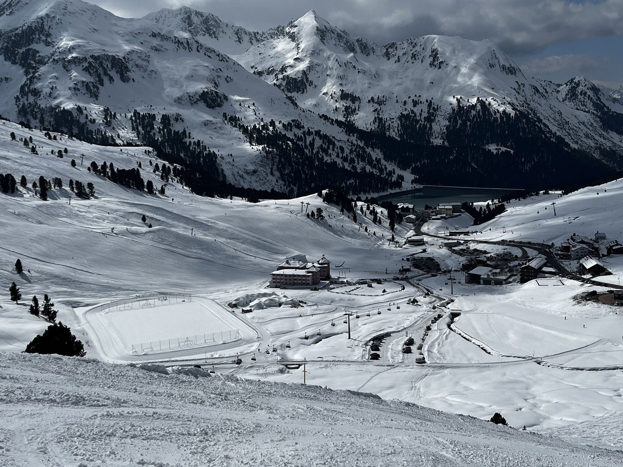


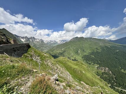
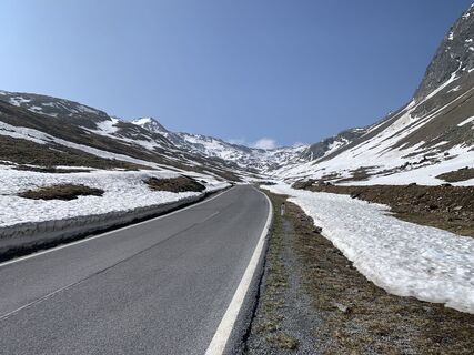
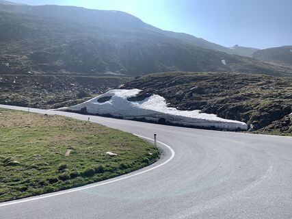
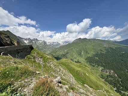
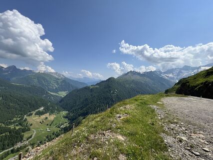
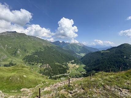
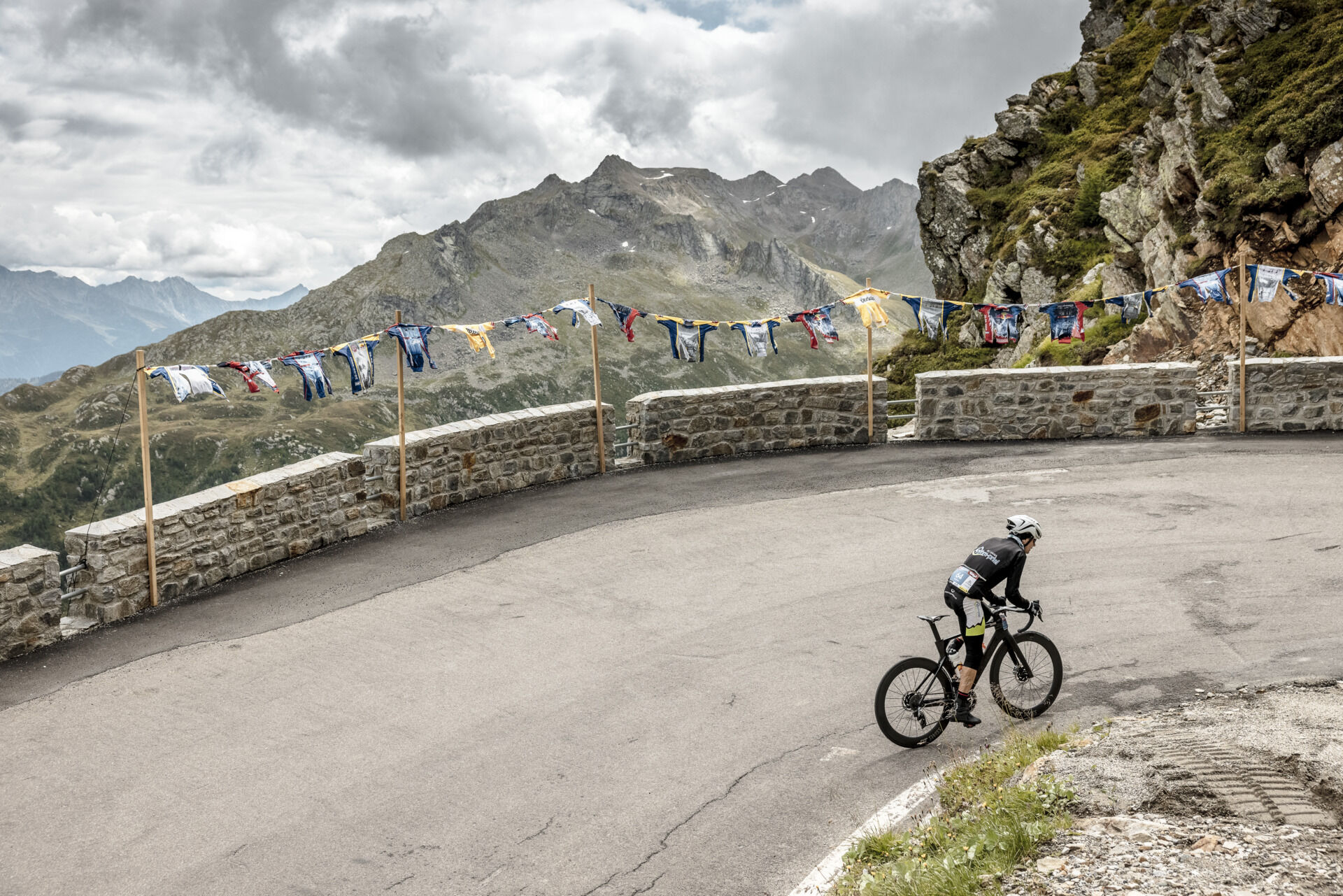
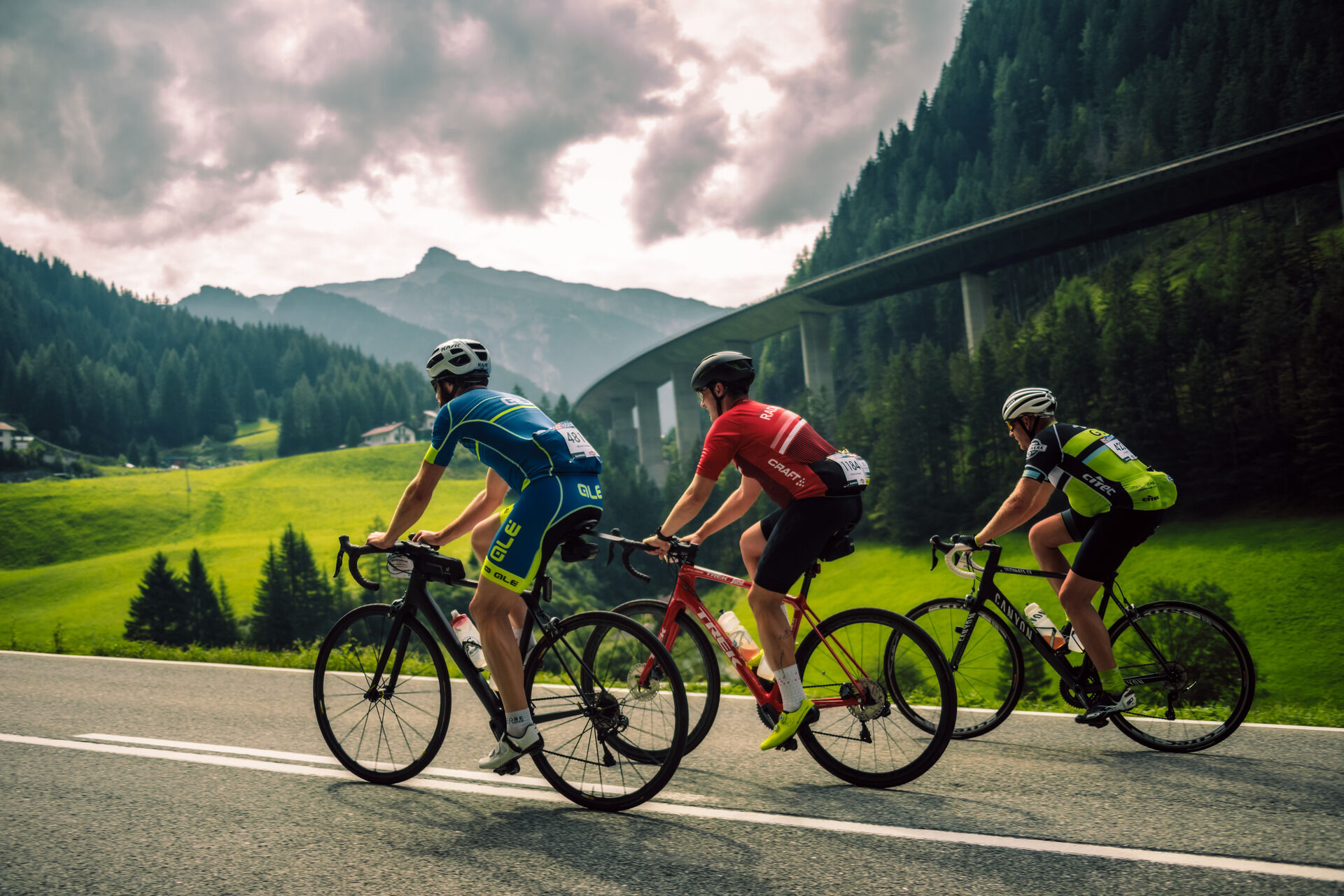
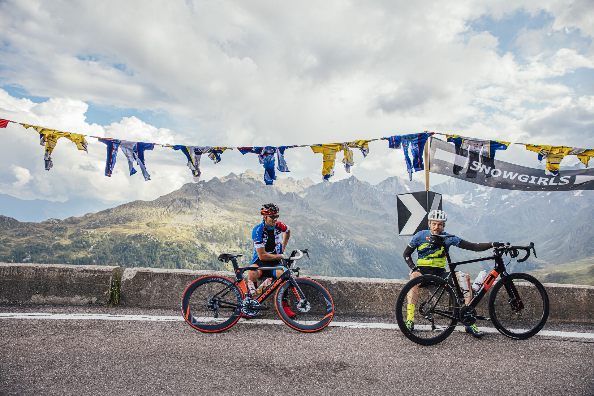
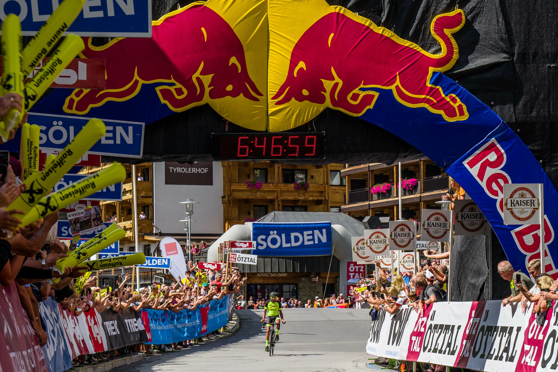
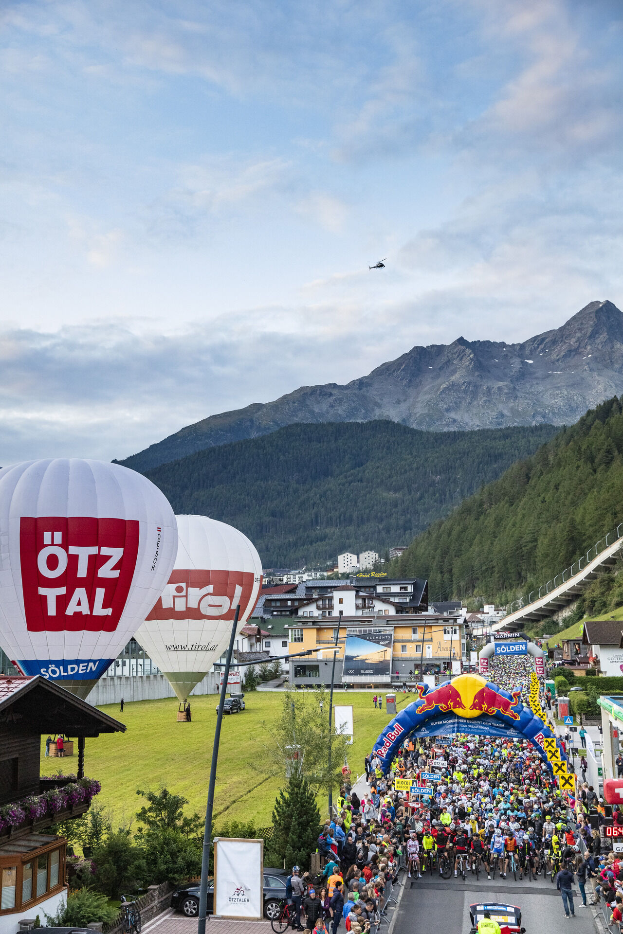
227 kilometers route, 5,500 meters of elevation, up to 18 percent gradient – these are the key data of the extremely demanding Ötztaler Radmarathon. It is regarded as one of the sporting highlights for...
227 kilometers route, 5,500 meters of elevation, up to 18 percent gradient – these are the key data of the extremely demanding Ötztaler Radmarathon. It is regarded as one of the sporting highlights for the best amateur cyclists in the world. 4,000 participants from many countries will start in Sölden on the last weekend of August/first weekend of September, cheered on by thousands of spectators. Ötztal, the highlight of Tirol, does not skimp on steepness in this grueling cycling marathon: Four high Alpine passes pave the route equipped with almost unimaginable 5,500 meters of elevation. From the Ötztal glacier world, the circuit extends to Kühtai (2,020 m) downhill to Innsbruck and then over the Brenner Pass (1,370 m) to Sterzing up to the Jaufen Pass (2,090 m) and crowned by the Timmelsjoch (2,474 m). On the passes, ready, go...
Route detour Sellrain (temporary 2022)
Modification of the original route due to hydroelectric power plant construction site along the L13 Sellraintalstraße between Sellrain and Kematen (L13).
The new route starts after the Neuwirt guesthouse in Sellrain. Here we leave the original route along the L13 Sellraintalstraße and turn right onto the municipal road, ascending to the Ice Bridge and continue via Tanneben and Neder to Grinzens Kohlstatt. There the route merges into the L12 Götzener Landesstraße to the roundabout in Axams. The final section then continues via the L394 Axamer Straße to the L13 Sellraintalstraße. From Kematen, the route follows again the original route.
Technical data: Original route: approx. 6.00 km / 0 m ascent / 300 m descent Detour 2022: approx. 11.7 km / 182 m ascent / 483 m descent
Route detour Brenner (temporary 2022)
Modification of the original route due to rail replacement service because of track works between Innsbruck and Brenner.
In the center of Brenner town, turn right to the Sankt Valentin parking lot, where the Brenner Pass refreshment station will be set up in 2022. Follow the bike path to the Lupo Wolf exit and continue on the original route over the SS12 Brennerstadtstraße toward Sterzing.
Technical data: Original route: approx. 3.00 km / 13 m ascent / 33 m descent Detour 2022: approx. 3.1 km / 20 m ascent / 40 m descent
Route detour Sterzing
Modification of the original route to relieve traffic in the Sterzing town center. Access to Brixen, the motorway, Penserjoch, the Jaufen valley, Ratschings and Ridnaun will remain open to individual traffic.
At the northern entrance to Sterzing, cyclists leave Brennerstraße and turn into Kitzbühelerstraße; via Lahnstraße they ride to Thuins and continue onto Jaufenstraße, which they enter via the roundabout at Milchhof Sterzing. This route will remain in place long-term from 2022.
Technical data: Original route: approx. 3.00 km / 4 m ascent / 17 m descent Change from 2022: approx. 3.8 km / 115 m ascent / 131 m descent
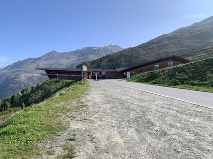
The refreshment stations:
Kühtai after 49 KM
Brenner Pass after 126 KM
Jaufen Pass after 159 KM
Schönau ("Speck-Mich'l") in the Passeier valley after 197.5 KM
Seeberalm after 202 KM Sölden - finish 232.7 KM

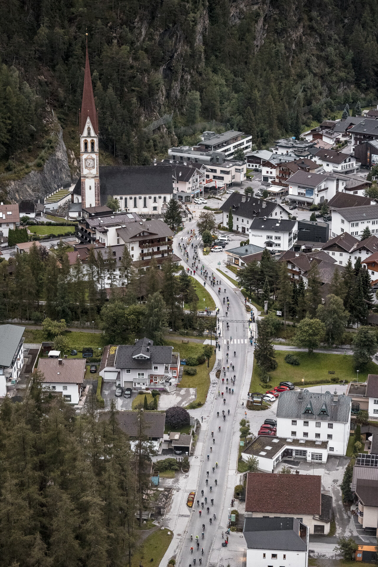
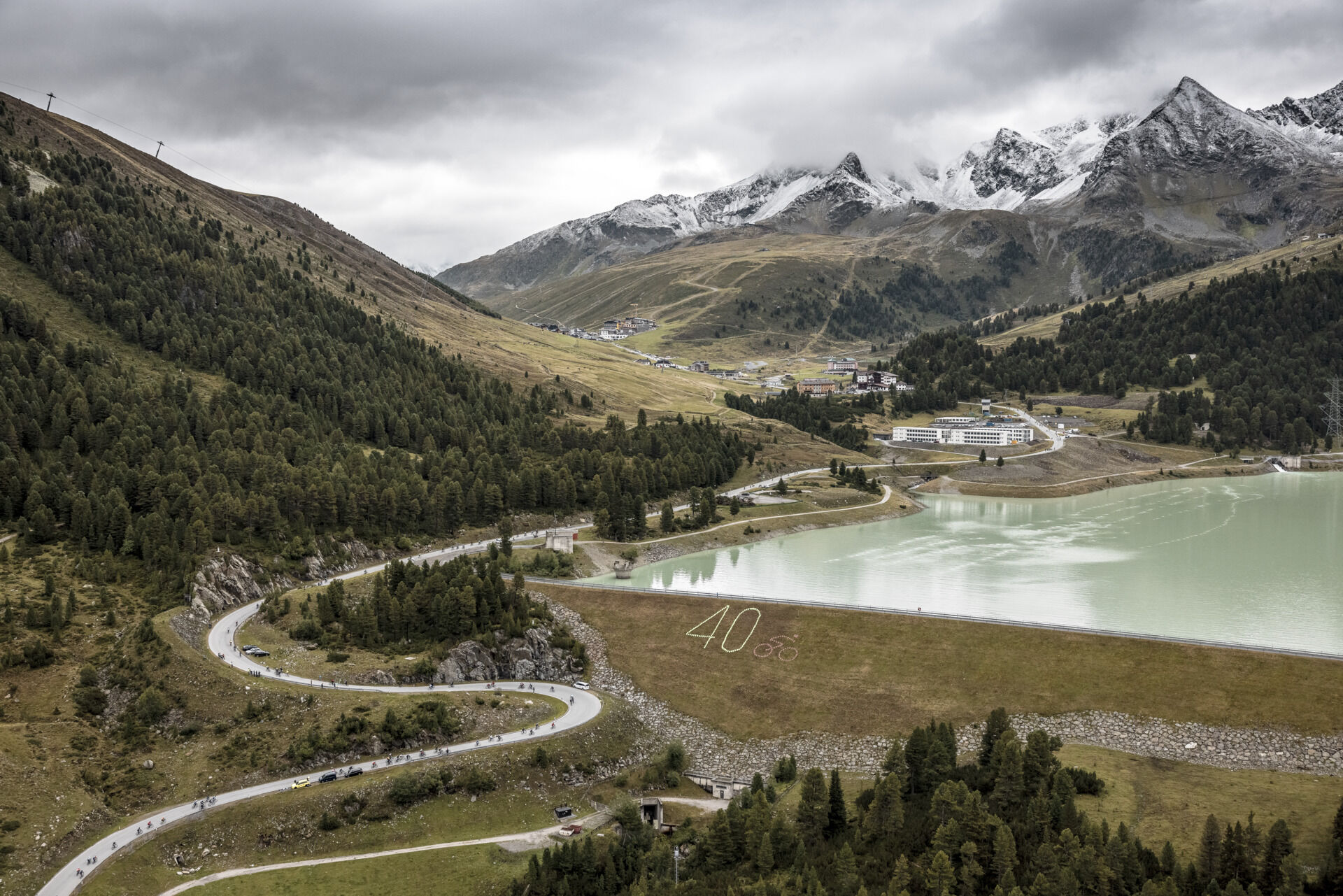
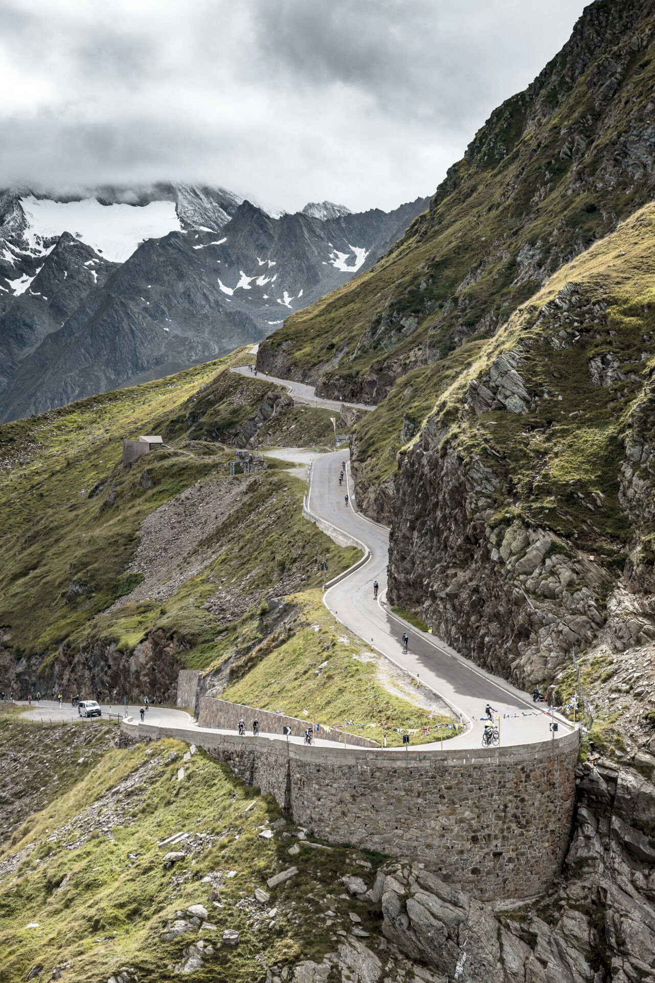
The route:
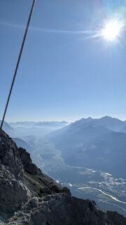
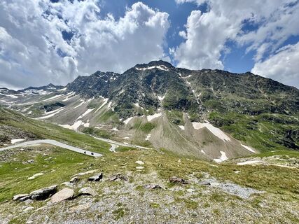
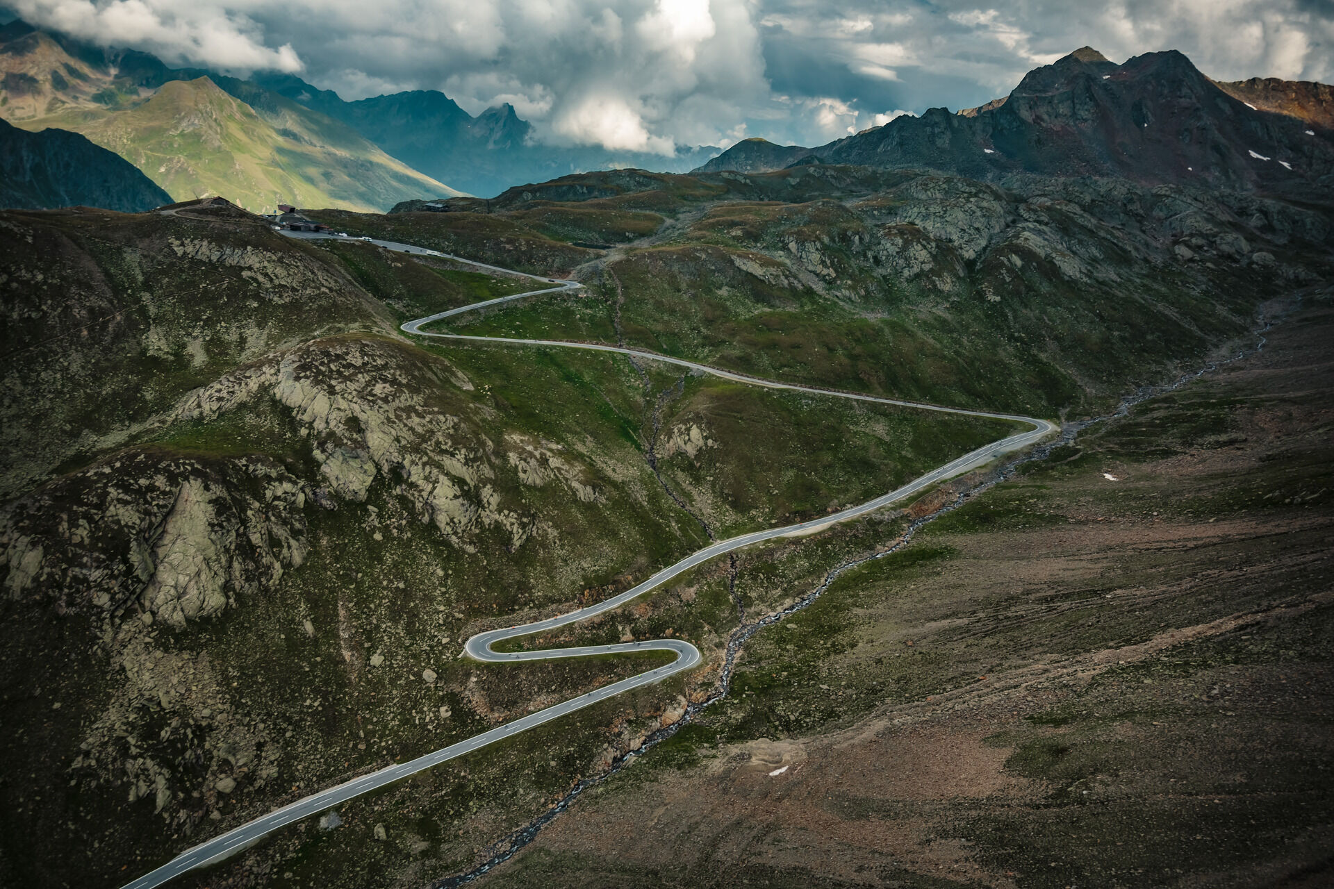
Start in Sölden – Oetz 800m – Kühtai 2020m – Innsbruck 600m – Brenner Pass 1377m – Sterzing 960m – Jaufen Pass 2090m – St. Leonhard in Passeier valley 700m – Timmelsjoch 2474m – Sölden 1377m.
The mountain passages:
Oetz – Kühtai (18.0 KM)
1200 meters elevation difference
Innsbruck – Brenner (37.5 KM)
777 meters elevation difference
Sterzing – Jaufen Pass (15.5 KM)
1130 meters elevation difference
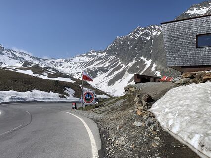
St. Leonhard – Timmelsjoch (29 KM)
1724 meters elevation difference
Áno
Personal equipment must be safe, functional and meet the respective technical standards. Every road cyclist is recommended to inform themselves about the planned routes either in specialist literature or on site. Complete road cycling equipment is absolutely recommended even for experienced riders!
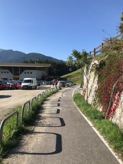
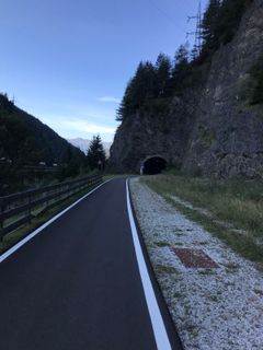
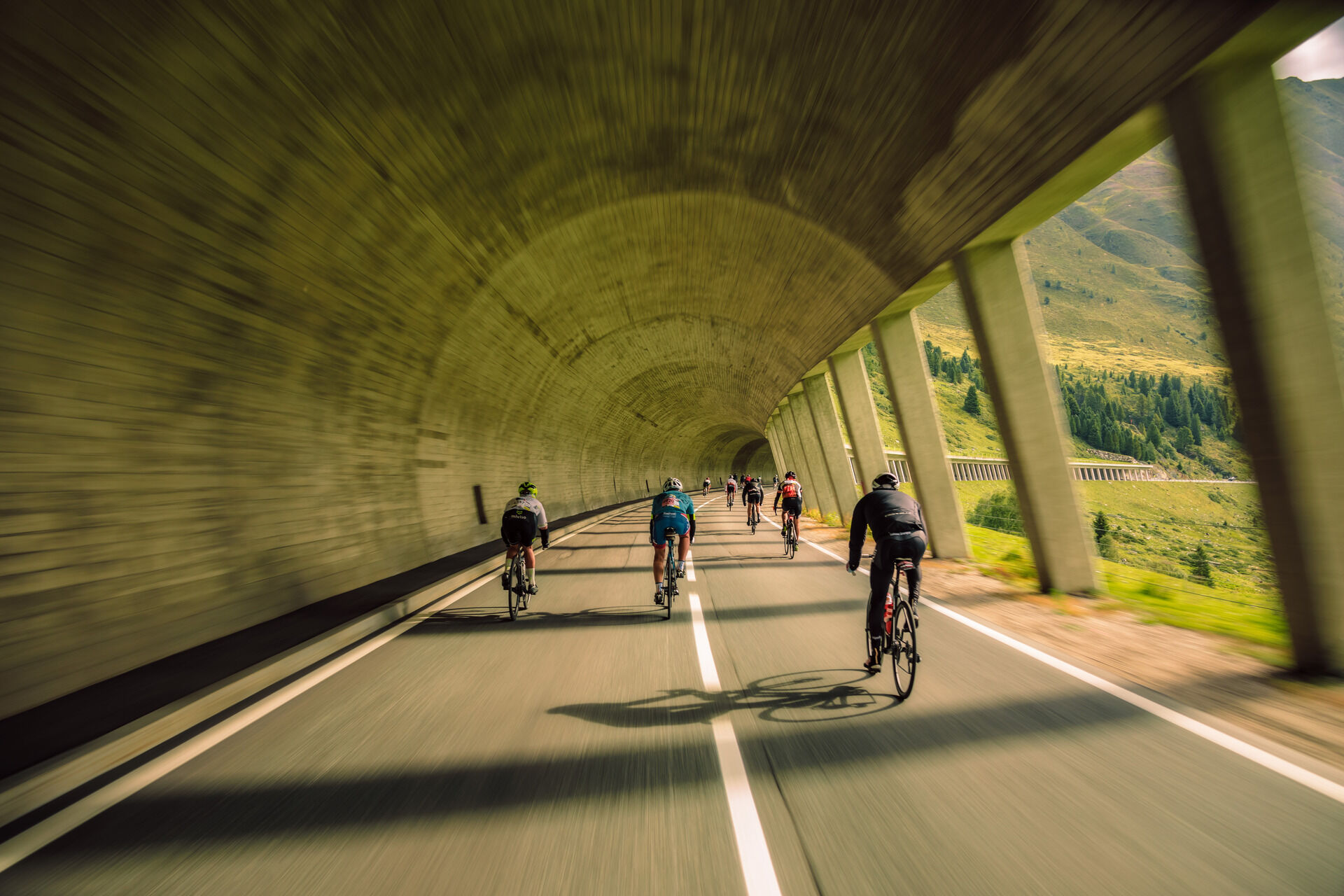
Tip: For the partly sparsely lit tunnels, lighting is advisable.
The StVO (road traffic regulations) apply. General valid and usual rules of conduct.
It should be noted that road cycling can involve an increased risk of accidents and injuries. Despite careful route planning, a basic risk always remains. Preparing for a route through endurance sports, appropriate training and further education as well as personal prudence reduce the risk of accidents and hazards.
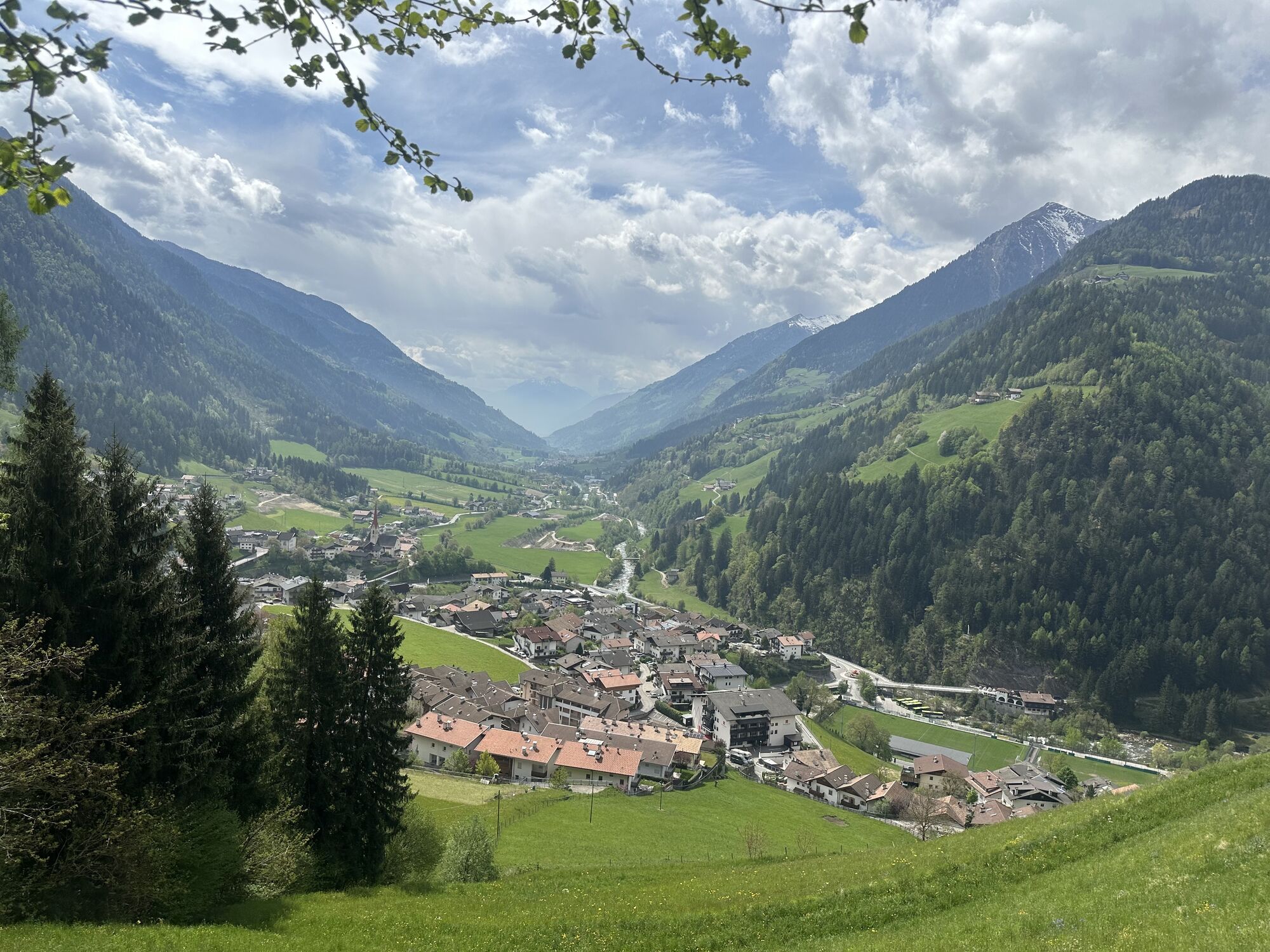
WHERE IS SÖLDEN?
Sölden is located in the west of Austria in the federal state of TIROL, in a southern side valley of the Inn valley - the ÖTZTAL.
Arrival from the west:
from Vorarlberg to Tirol over the Arlbergpass or through the Arlberg tunnel (S 16) - Landeck - motorway A 12 towards Innsbruck - exit Ötztal after Roppener tunnel - B 186 (35km) to Sölden
From the north:
- Bad Tölz - Achenpass - B 181 - Jenbach - A 12 Innsbruck towards Bregenz - exit Ötztal - B 186 (35km) to Sölden
- Pfronten - Reutte - Fernpass - Imst - A 12 towards Innsbruck - exit Ötztal after Roppener tunnel or B 171 Tiroler Straße to Ötztal (vignette-free) - B 186 (35km) to Sölden
- Garmisch Partenkirchen - Ehrwald - Lermoss - Fernpass - Imst - A 12 towards Innsbruck - exit Ötztal after Roppener tunnel or B 171 Tiroler Straße to Ötztal (vignette-free) - B 186 (35km) to Sölden
- Garmisch Partenkirchen - Mittenwald - Scharnitz - Seefeld in Tirol - Telfs - A 12 towards Bregenz - exit Ötztal or B 171 Tiroler Straße to Ötztal (vignette-free) - B186 (35km) to Sölden
From the east:
from Munich or Salzburg on the A 93 to Kufstein, then on the A 12 towards Bregenz, via Innsbruck to exit Ötztal, then continue on B 186 (35km) to Sölden
From the south:
coming from Bolzano towards Brenner (toll road) - Brenner motorway over the Schönberg toll station towards Innsbruck - from Innsbruck on the A 12 towards Bregenz to Ötztal approach - continue on B 186 (35km) to Sölden
Arrival by train
Travel comfortably and safely by train to the Ötztal train station. A local bus to Obergurgl departs directly from the station forecourt. The bus ride to Sölden takes about 1 to 1.5 hours.
All important information on bus schedules, connections and taxi companies can be found here.
At the valley stations of the Gaislachkoglbahn and the Giggijochbahn there are sufficient free parking spaces available, and free multi-storey car parks are also available. Parking is free from 8:00 a.m. to 7:00 p.m.
Paid overnight parking is possible in the Gaislachkogl car park:
more information about overnight parking
6
More information about biking and cycling in the Ötztal: https://www.oetztal.com/biken
Obľúbené výlety v okolí
-
4,5
Winnebachsee Hut – Längenfeld/Gries
strednáTuristika 4,74 km -
4,7
Wilde Wasser Weg - Fortgeschritten
strednáTuristika 12,0 km -
4,3
Lampsenspitze, Sellrain, Tirol
strednáSkitour 4,97 km -
4,3
Amberger Hut - Längenfeld/Gries
strednáTuristika 5,60 km -
5,0
Dresdner hütte - sulzenauerhütte
strednáTuristika 12,1 km -
5,0
Hoher Seeblaskogel 3235m - Längenfeld/Gries
ťažkéTuristika 8,38 km -
4,6
Gschnitz - Habicht
ťažkéTuristika 13,5 km -
5,0
Nissl Alm - Längenfeld/Gries
svetloTuristika 5,17 km -
4,0
Fulpmes: Zur Sennjochhütte
Turistika 2,90 km -
5,0
Pinnisjoch und Innsbrucker Hütte
strednáTuristika 4,64 km

Turistika a stopovanie


Nenechajte si ujsť ponuky a inšpiráciu na ďalšiu dovolenku
Vaša e-mailová adresa bol pridaný do poštového zoznamu.