


The longest ski route in Tyrol: From the Karlskirche to the Glungezer summit

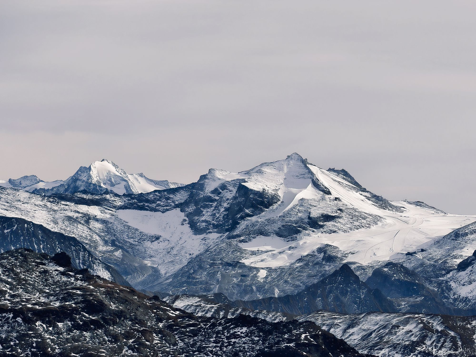
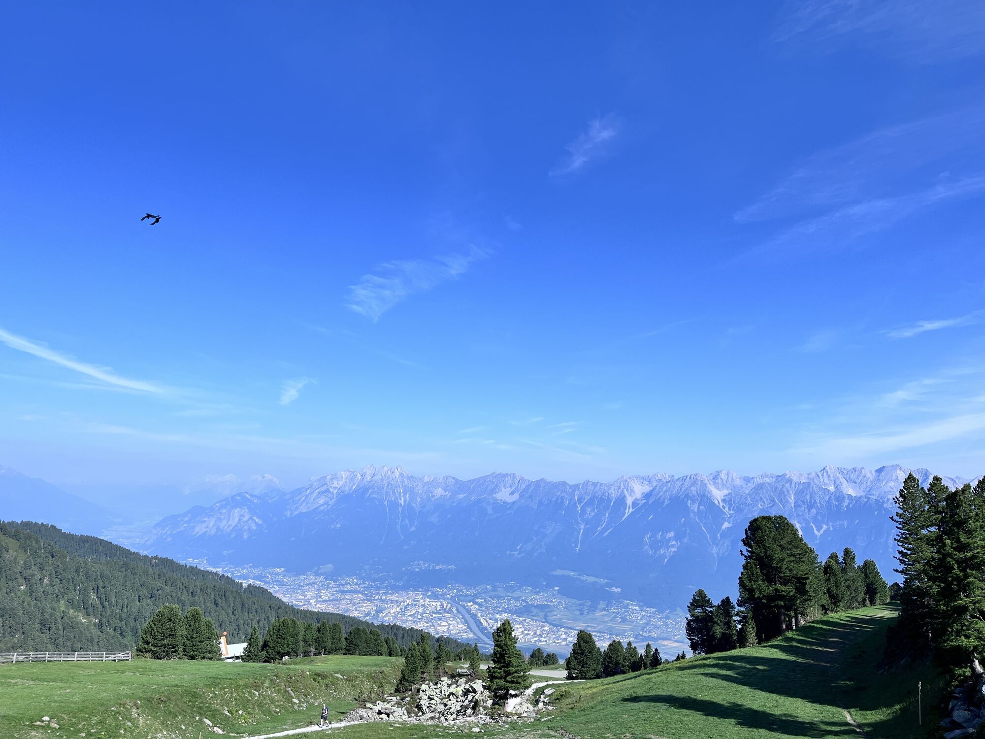
The longest ski route in Tyrol is only possible with sufficient snow cover, but then it is a route that is second to none. Across open alpine meadows, through the Glungezer ski area up to the Glungezer summit!
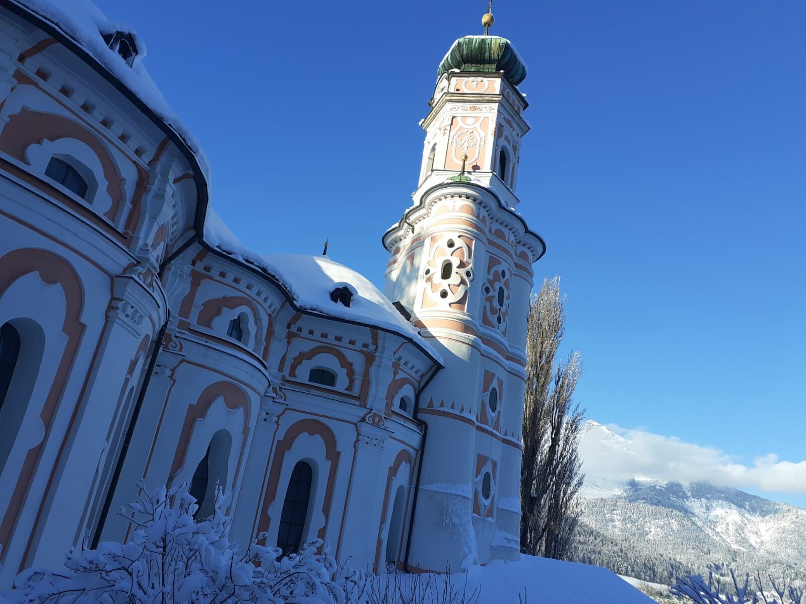


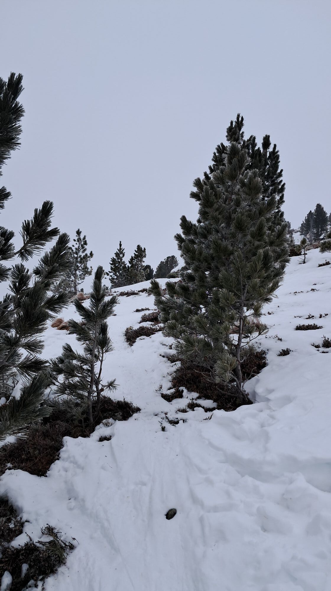
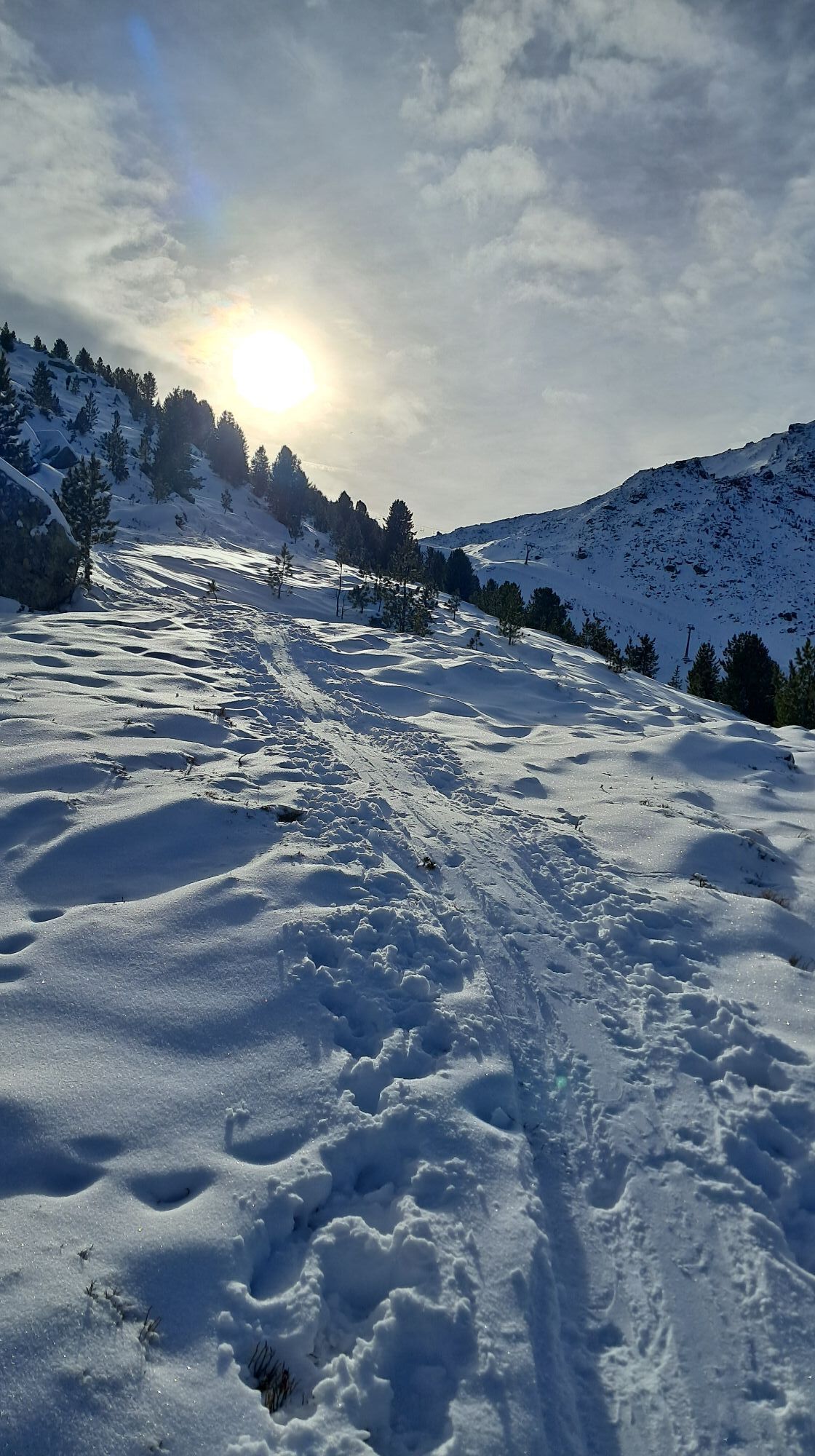
With sufficient snow cover, this route starts directly from the parking lot near the Karlskirche.
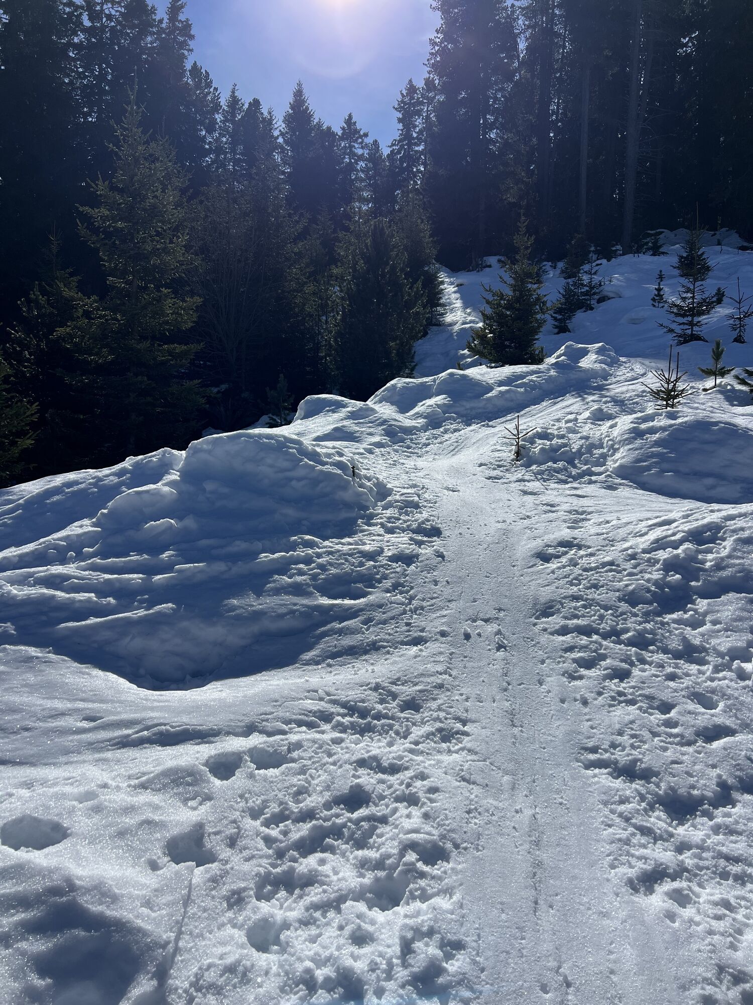
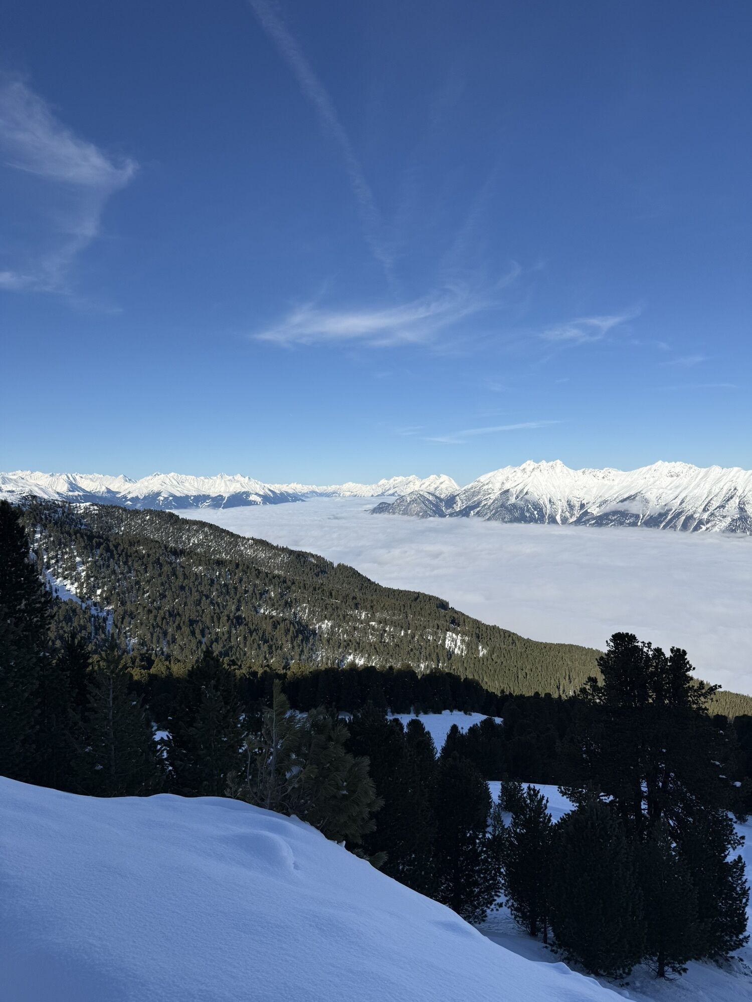
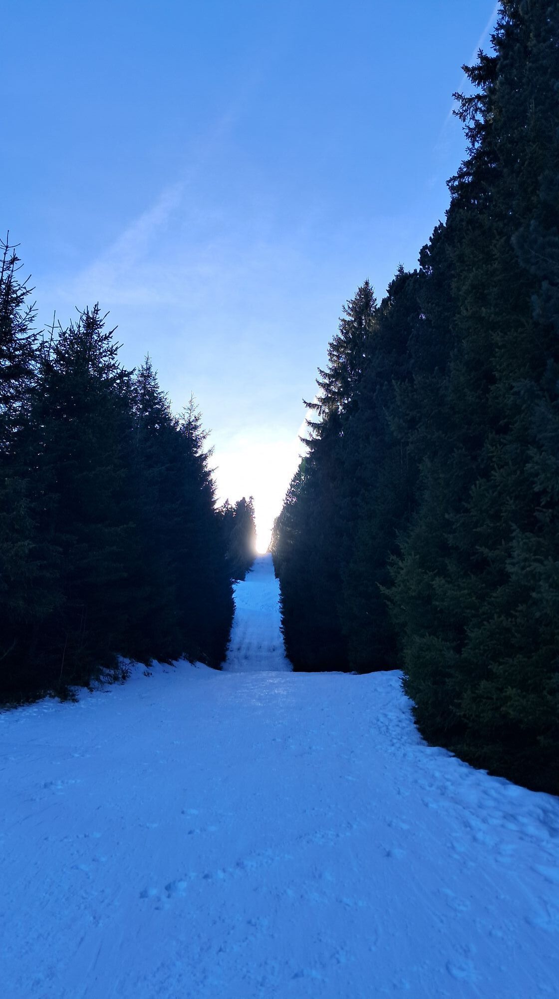
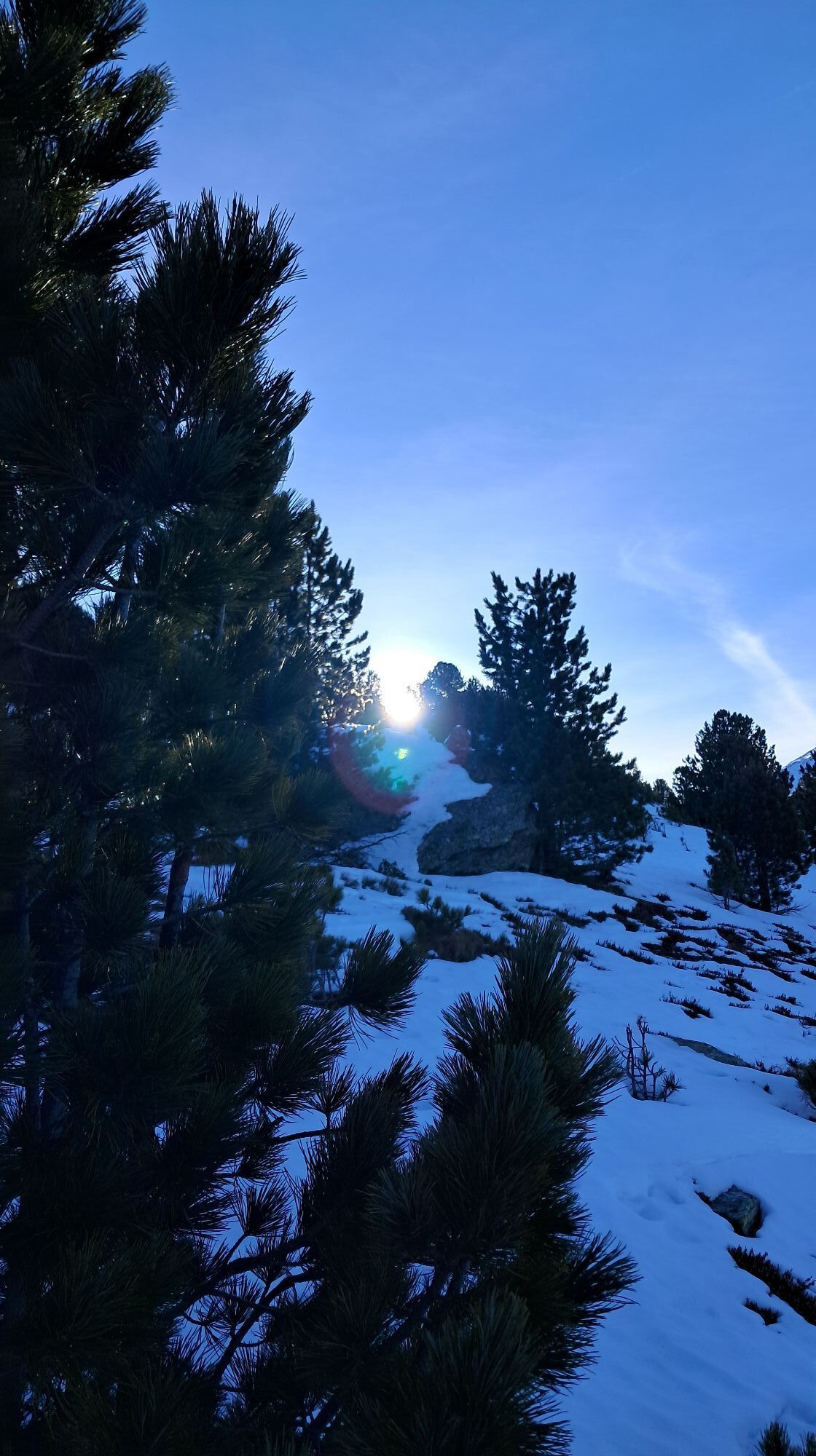
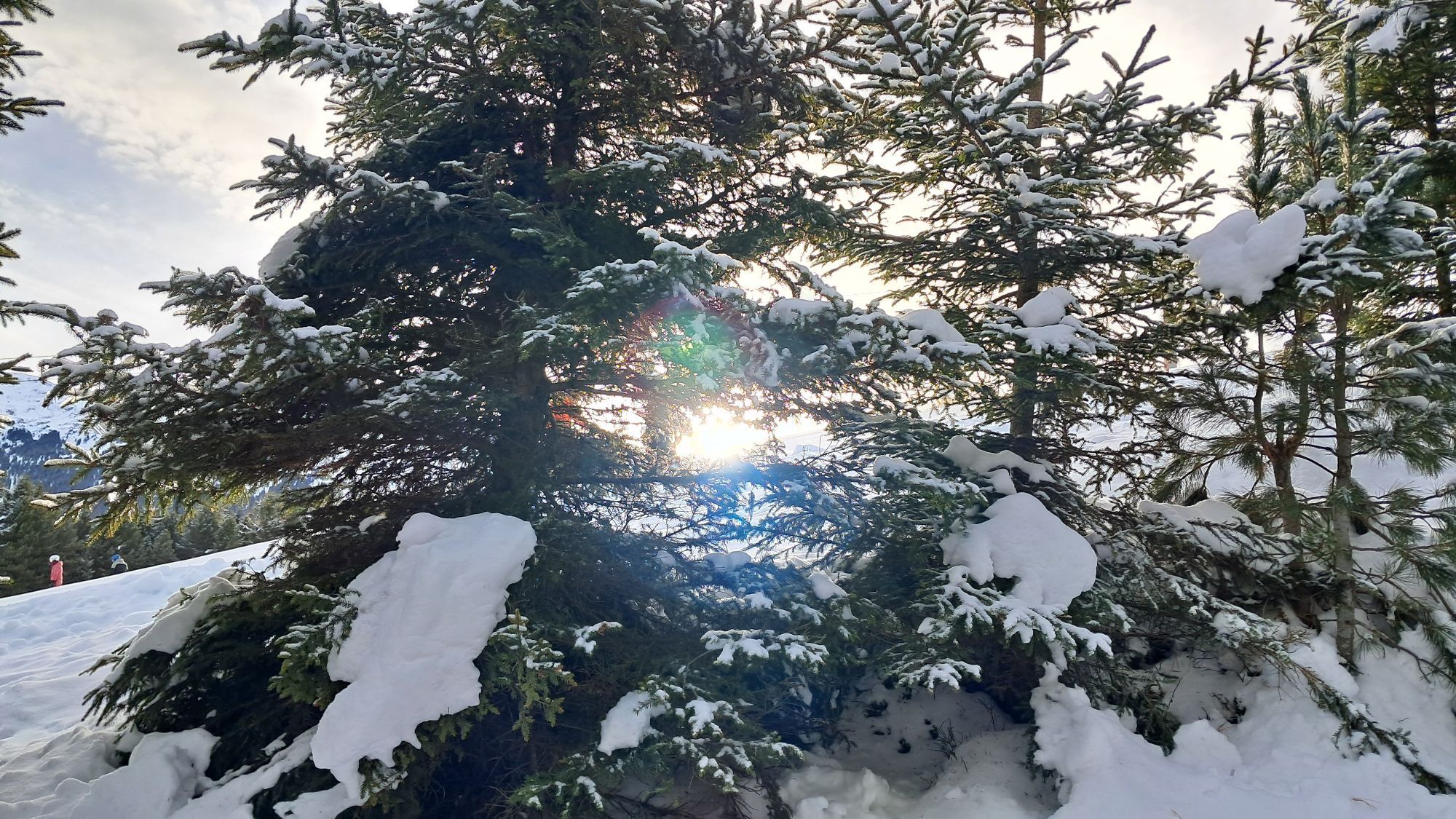
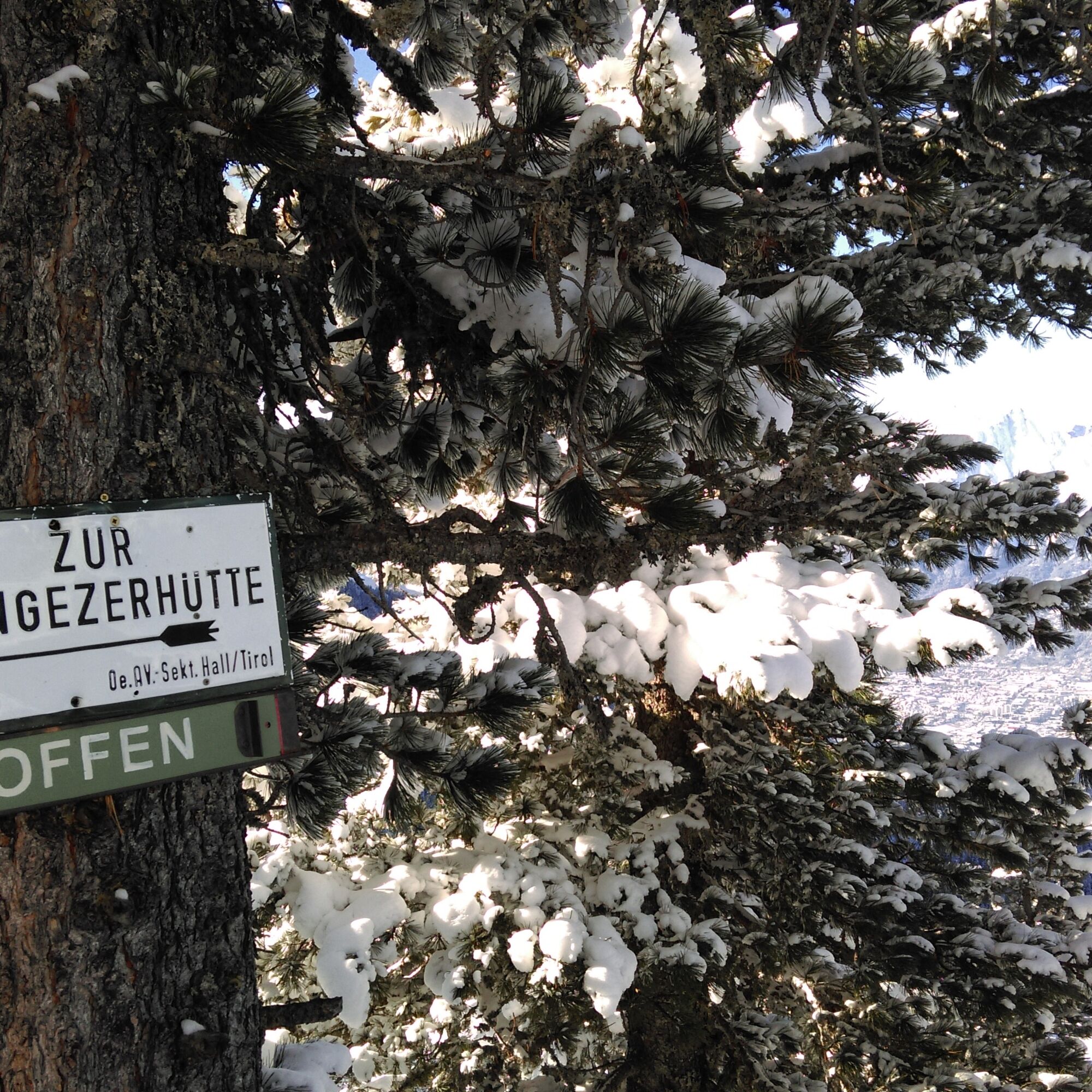
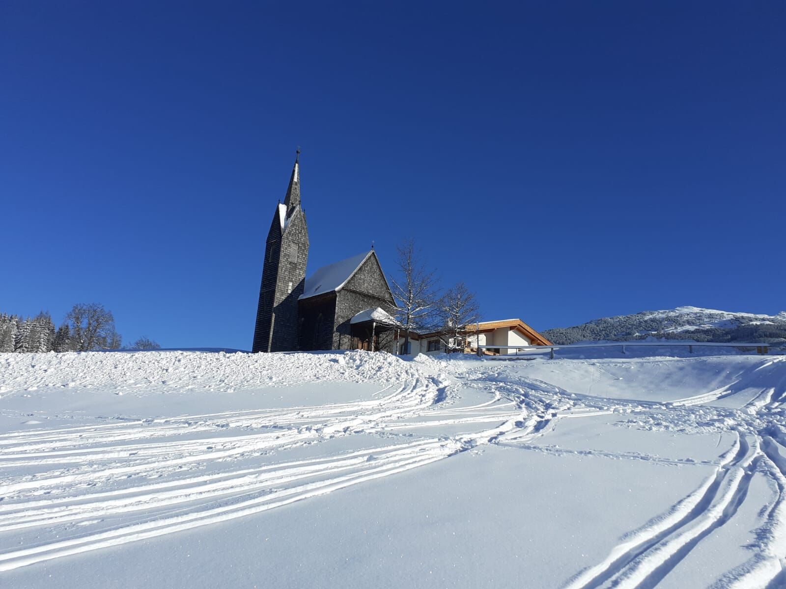
Along an initially flat meadow, we cross the road several times and continue climbing. At the end of the meadows, through a forest clearing up to the Windegg chapel.
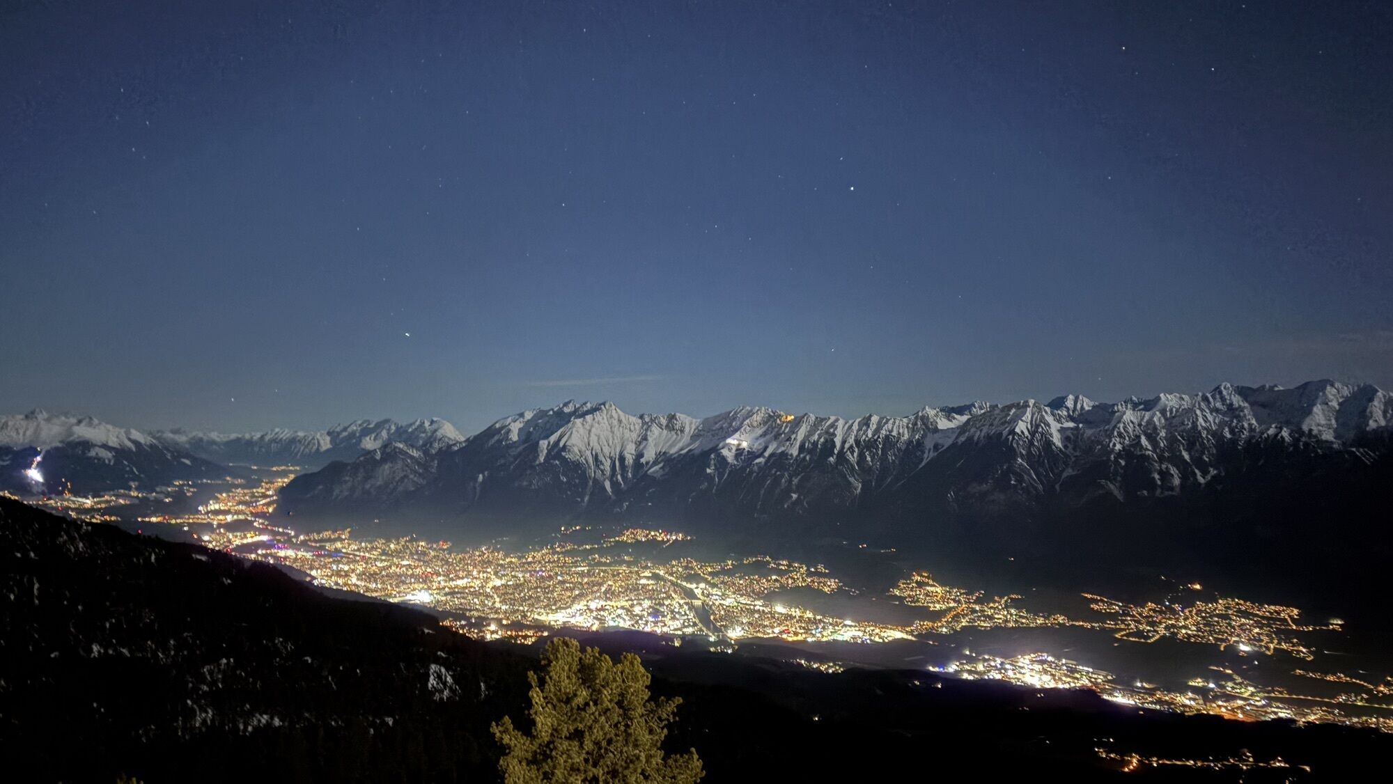
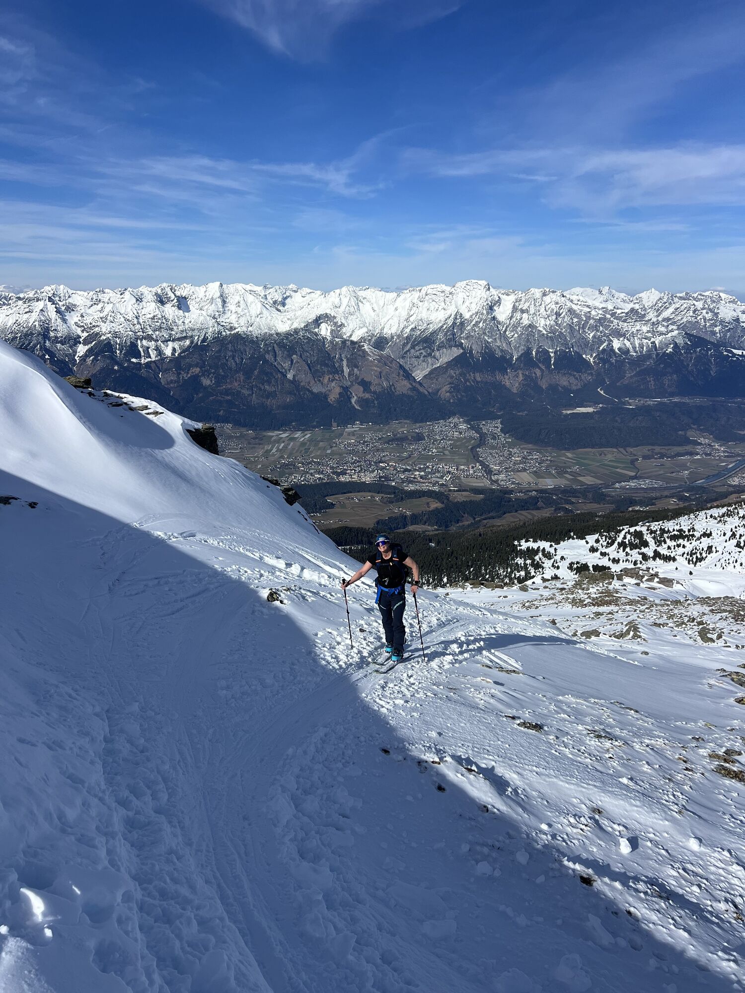
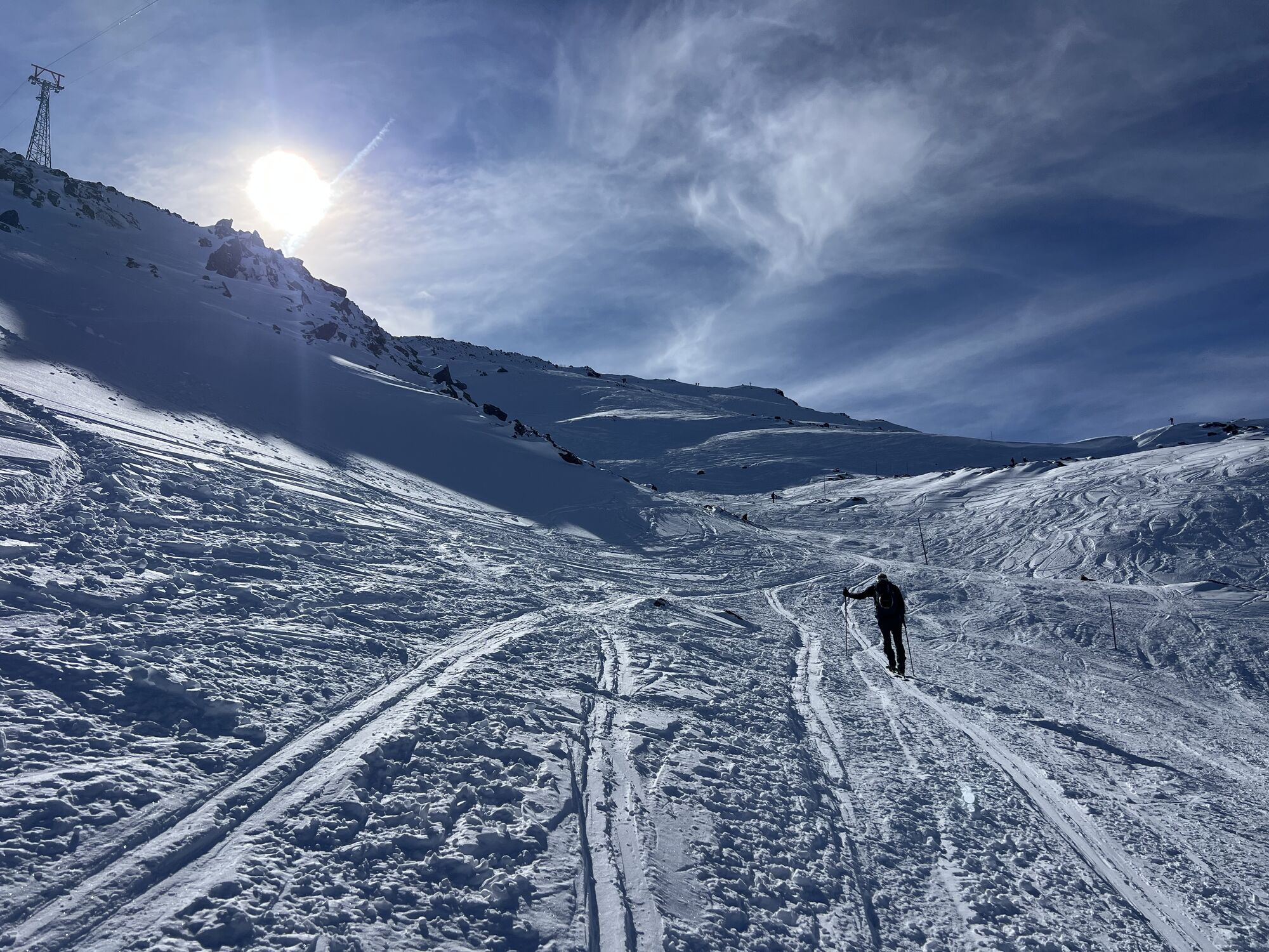
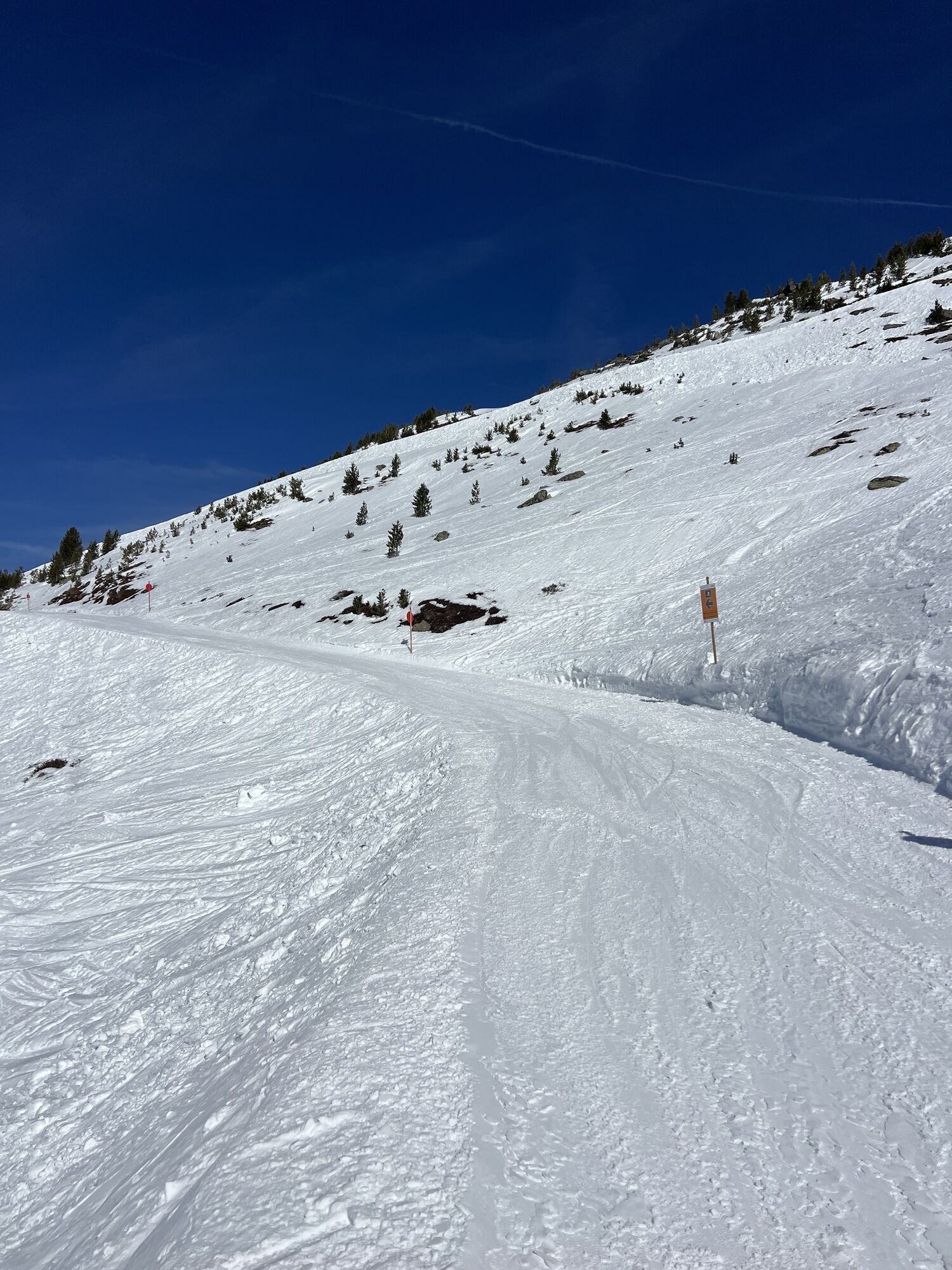
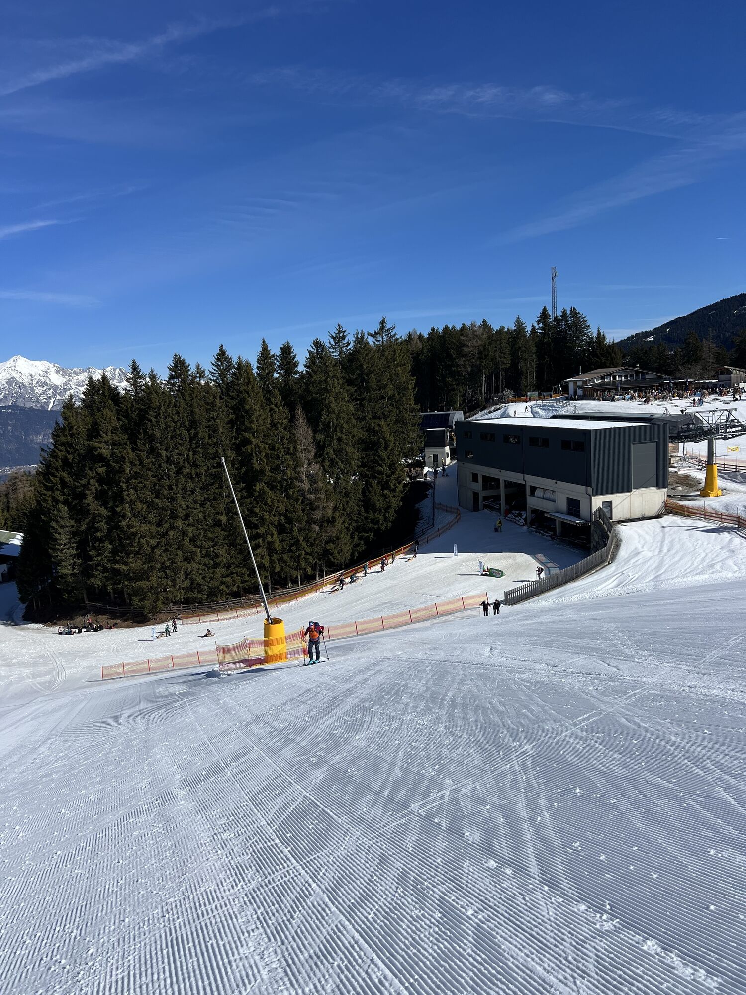
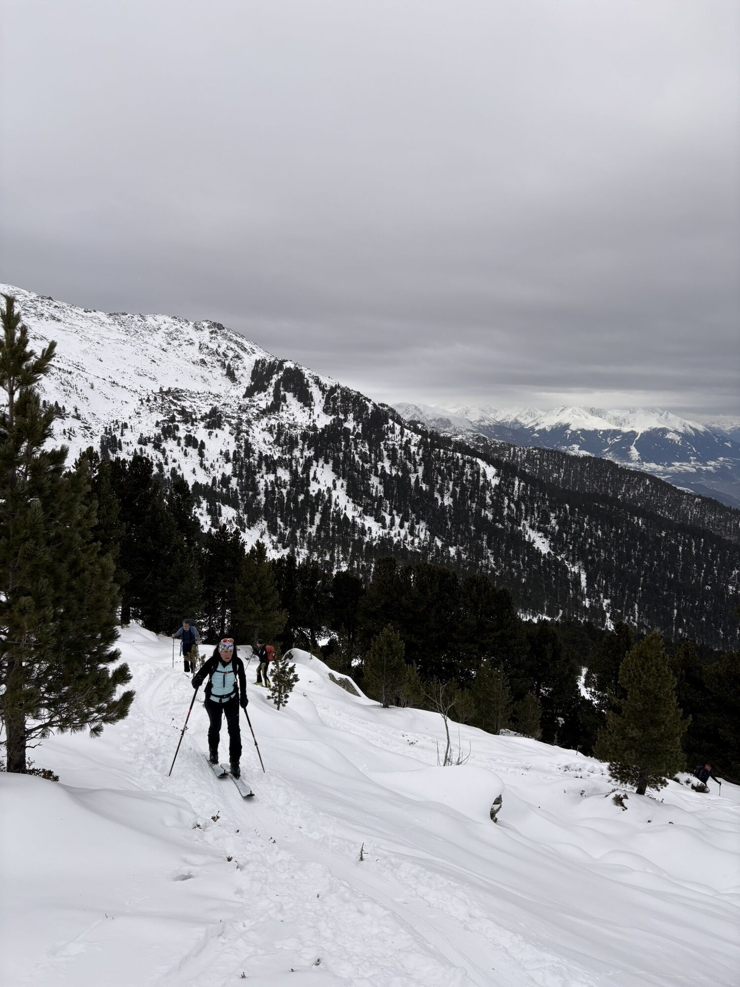
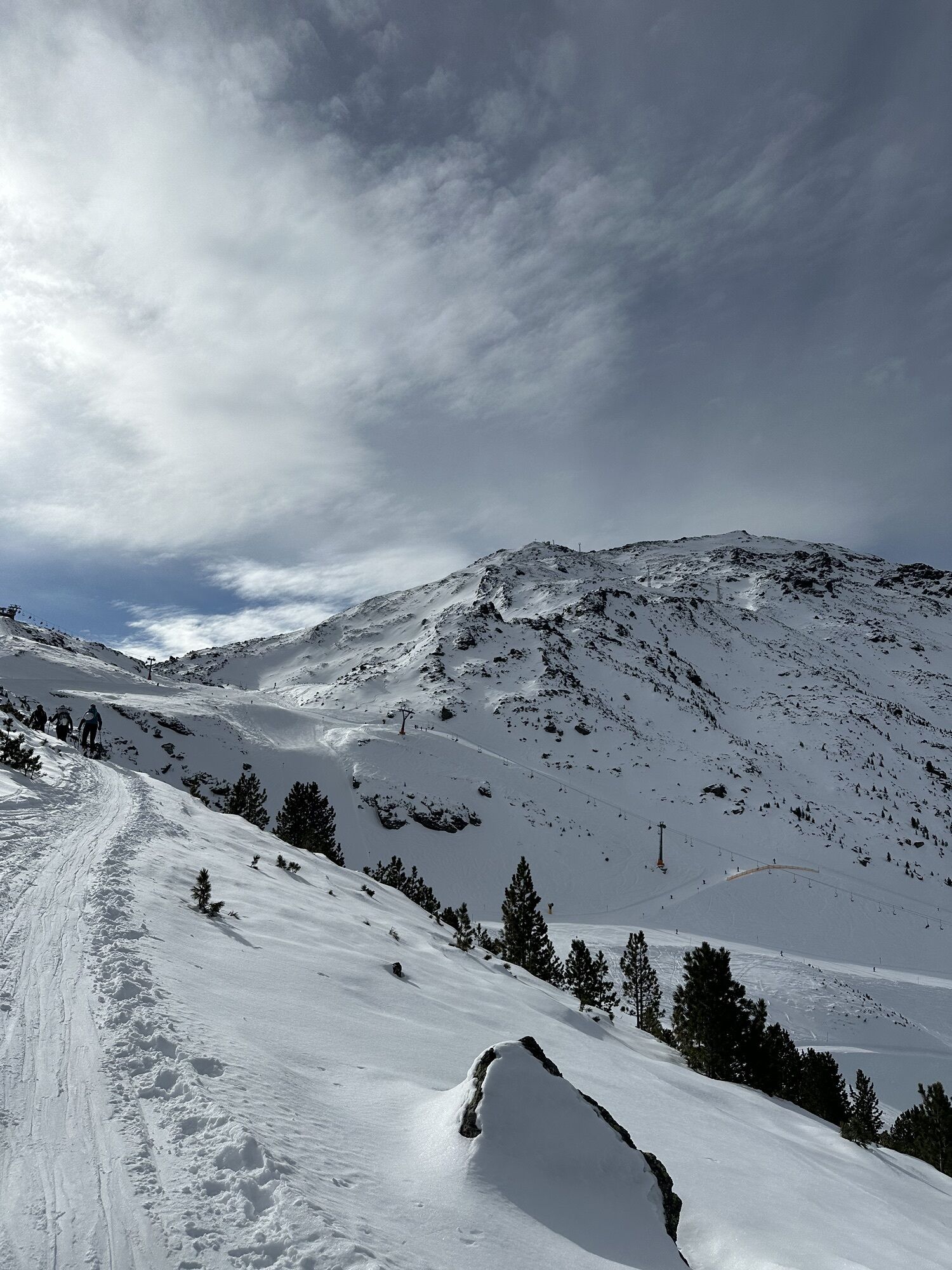
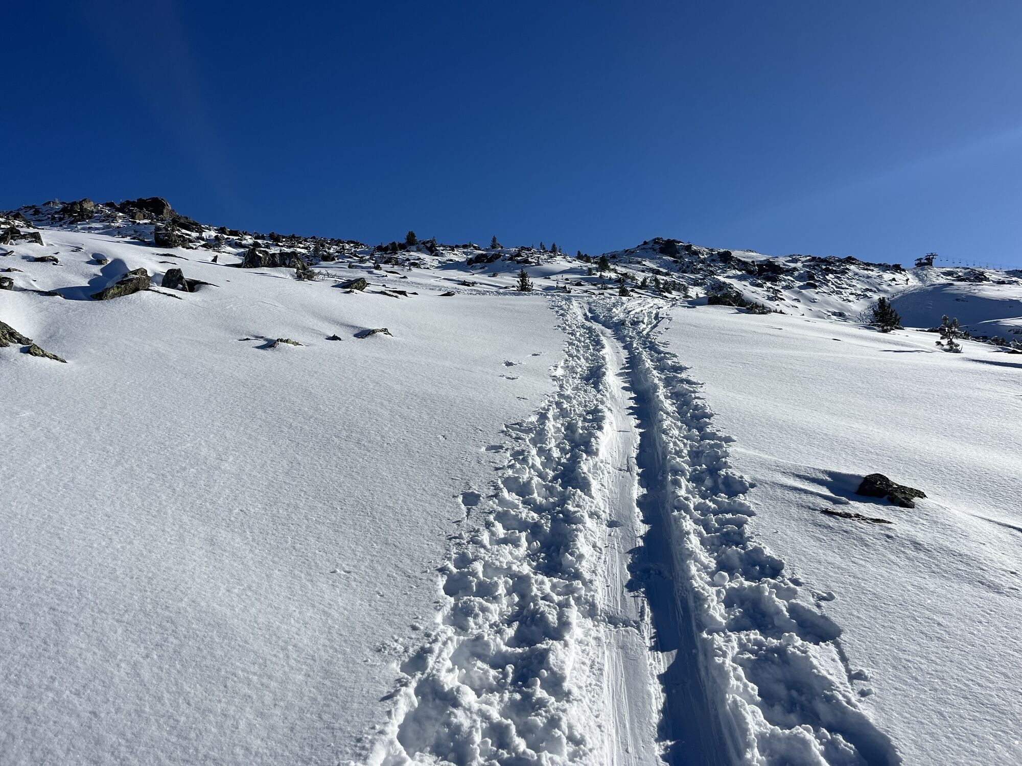
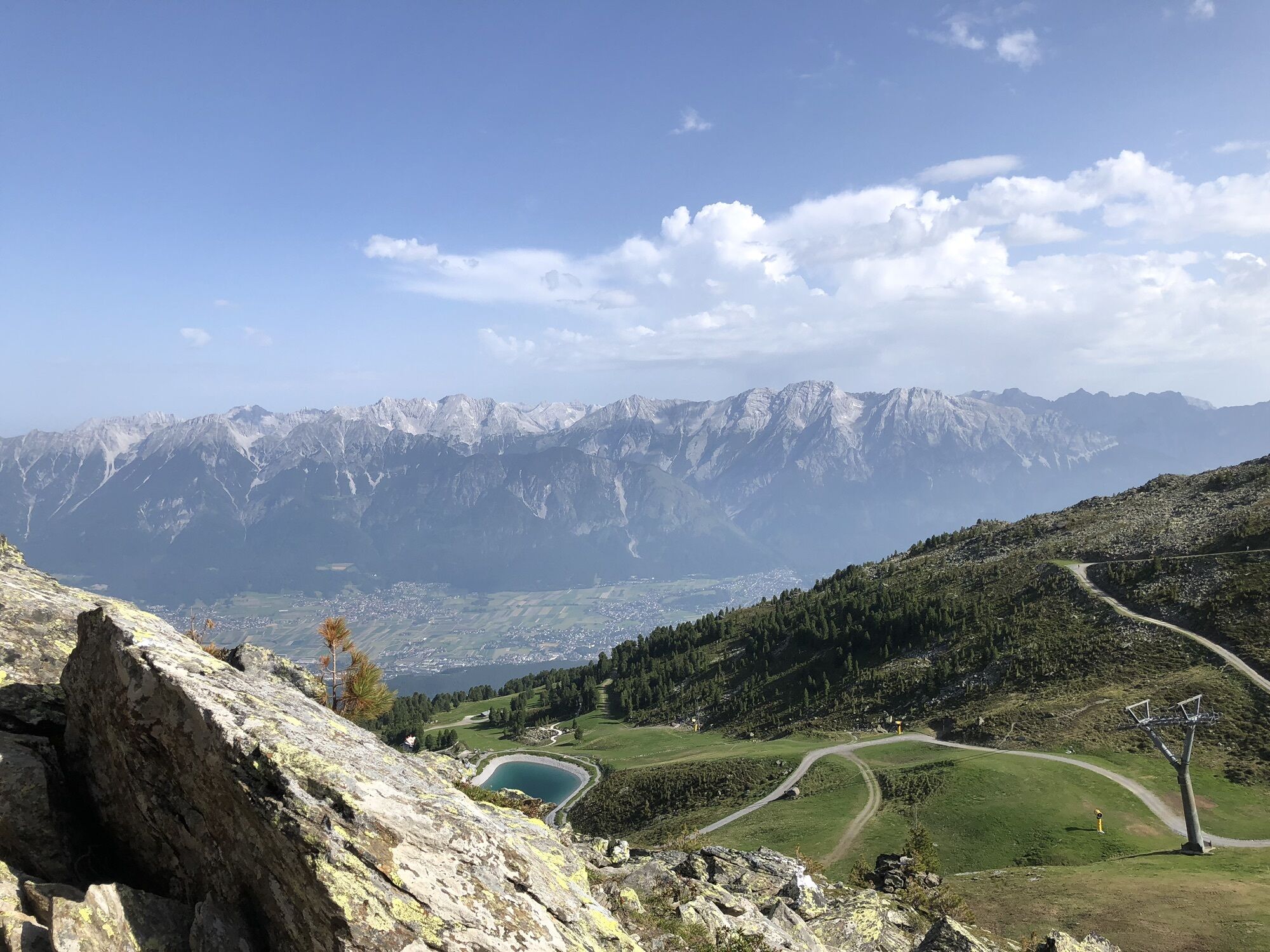
From here we are already in the piste area of the Glungezerbahn. Along the family and Halsmater slopes it goes upwards. From Halsmater we continue to follow the designated ascent track for ski tourers.
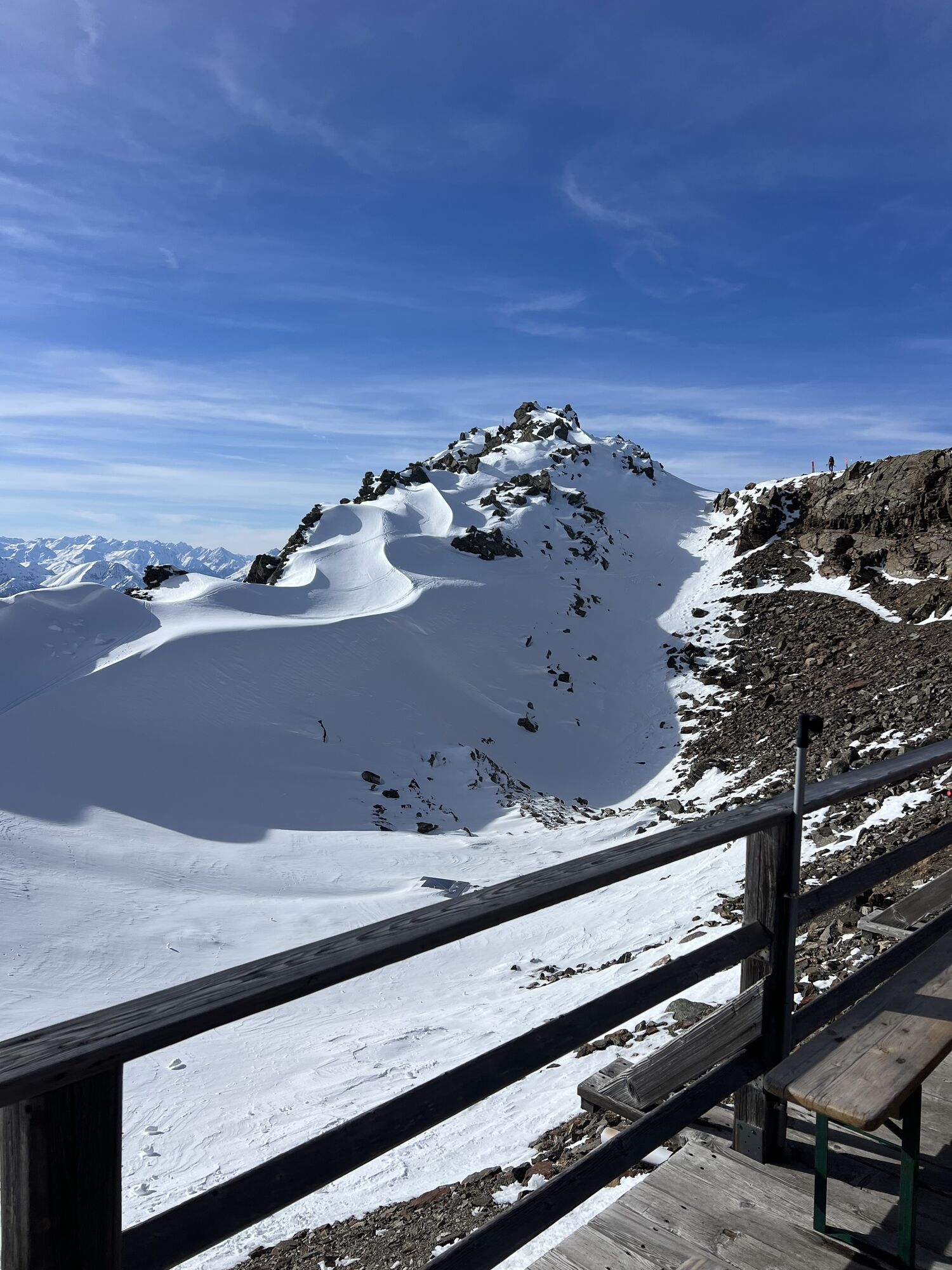
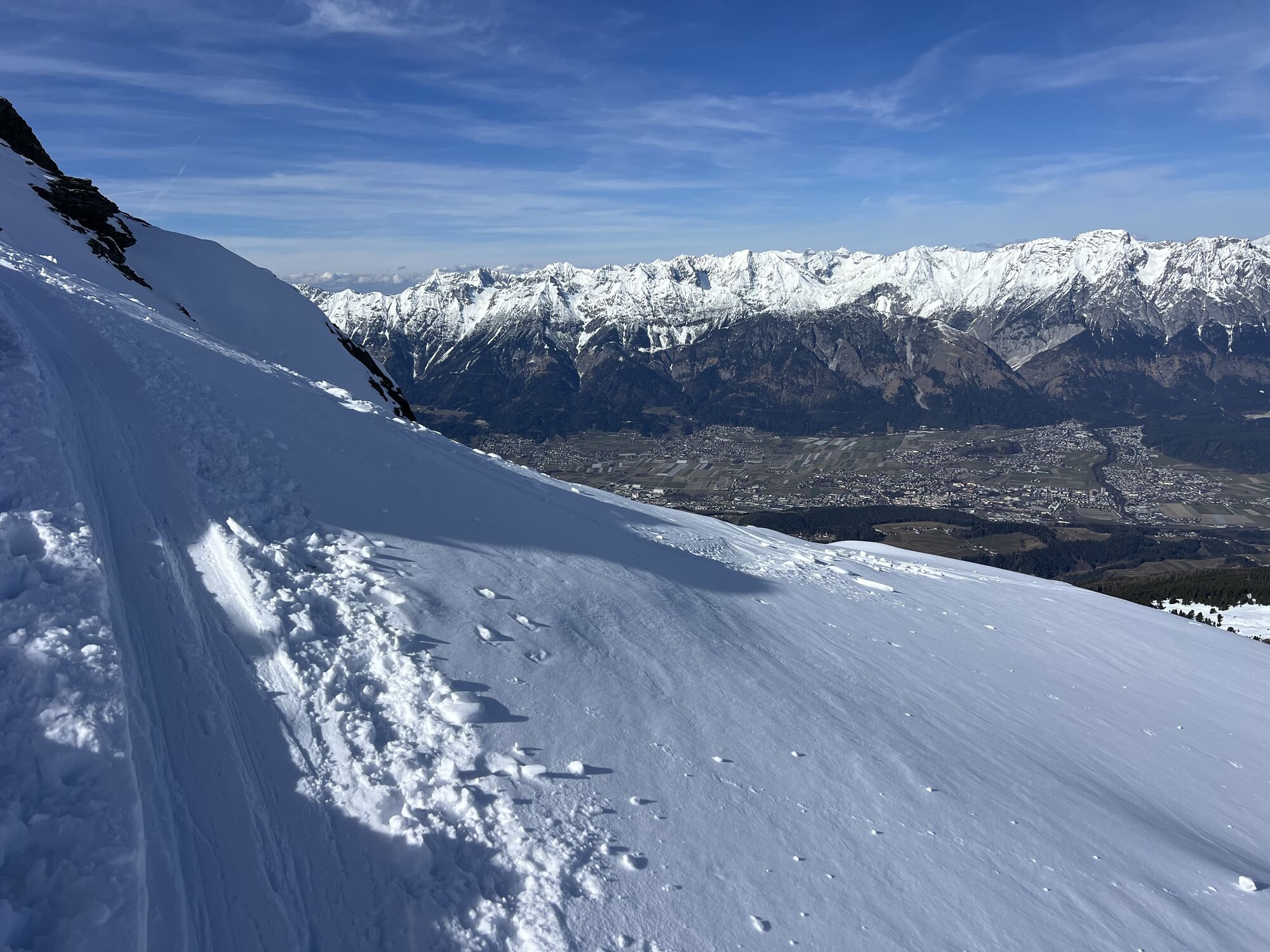
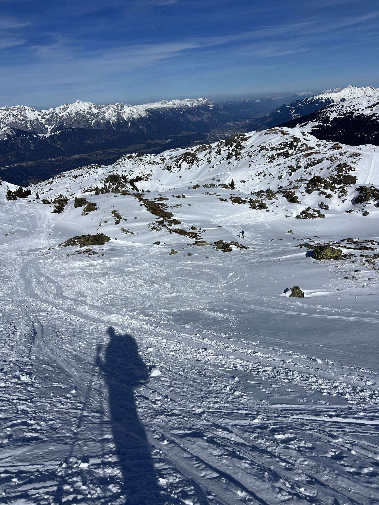
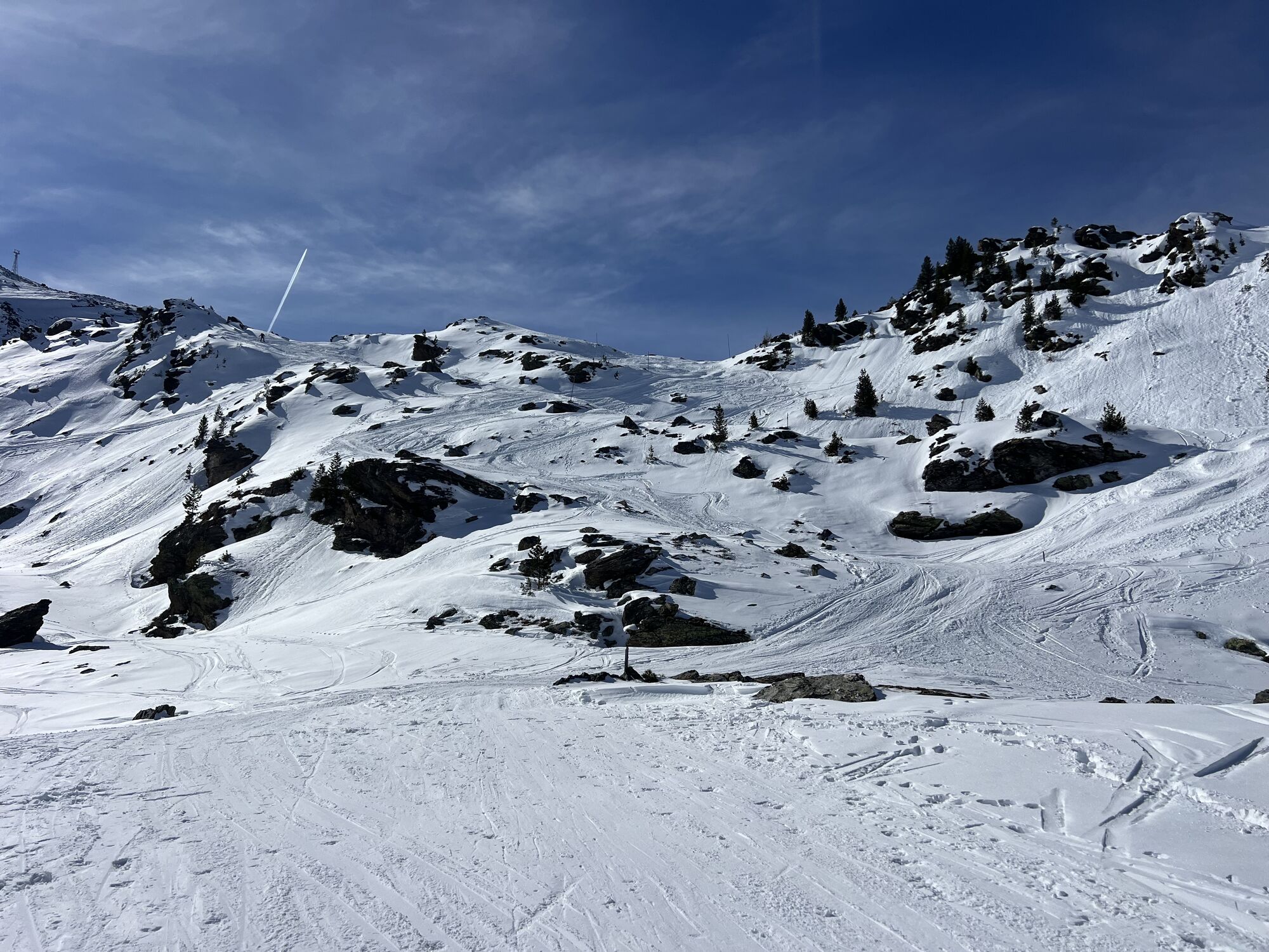
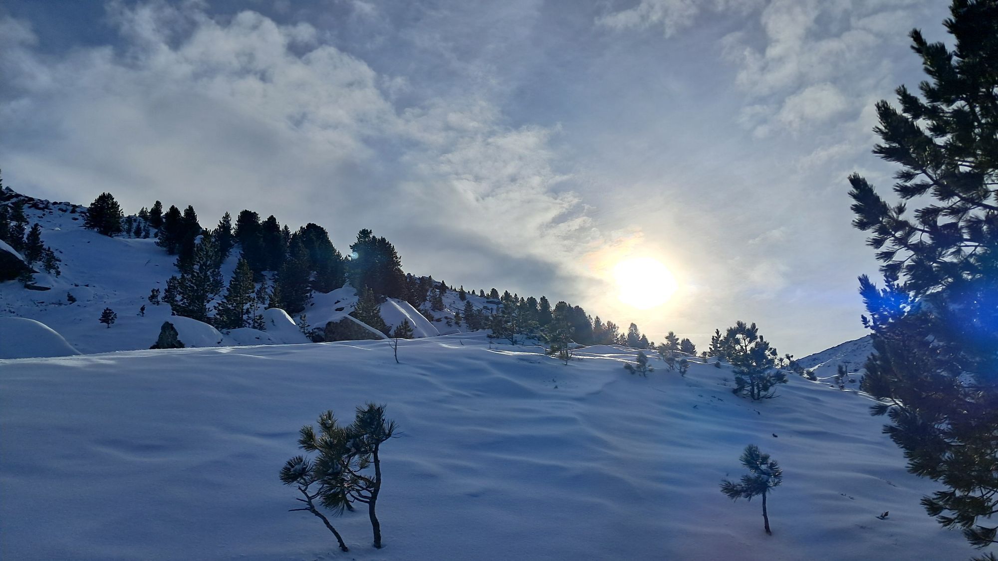
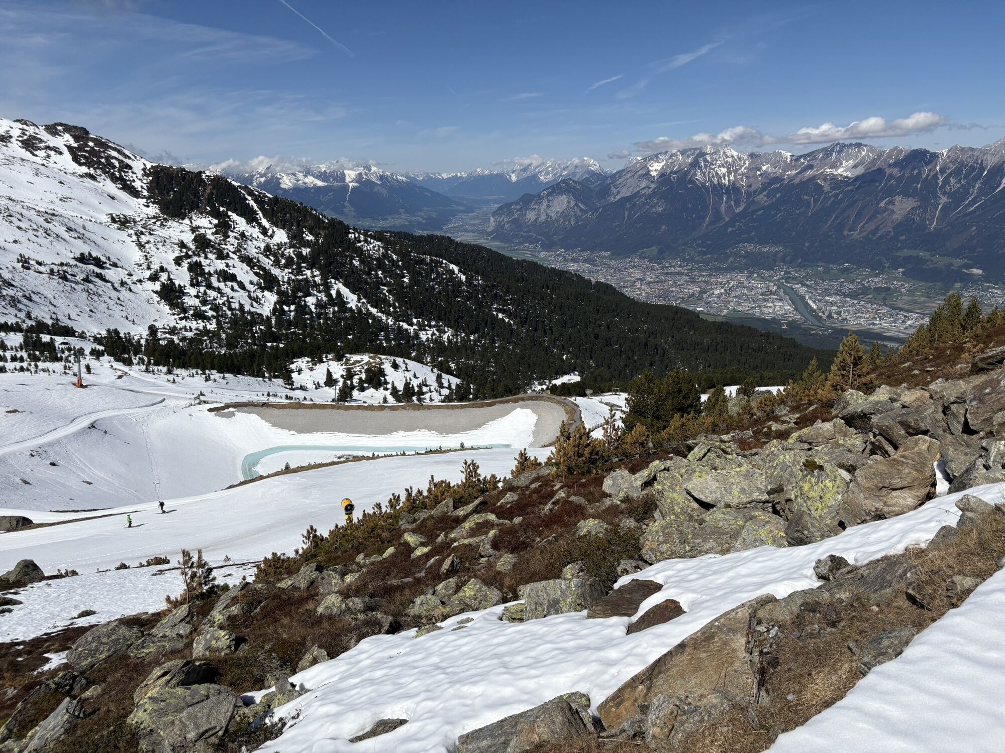
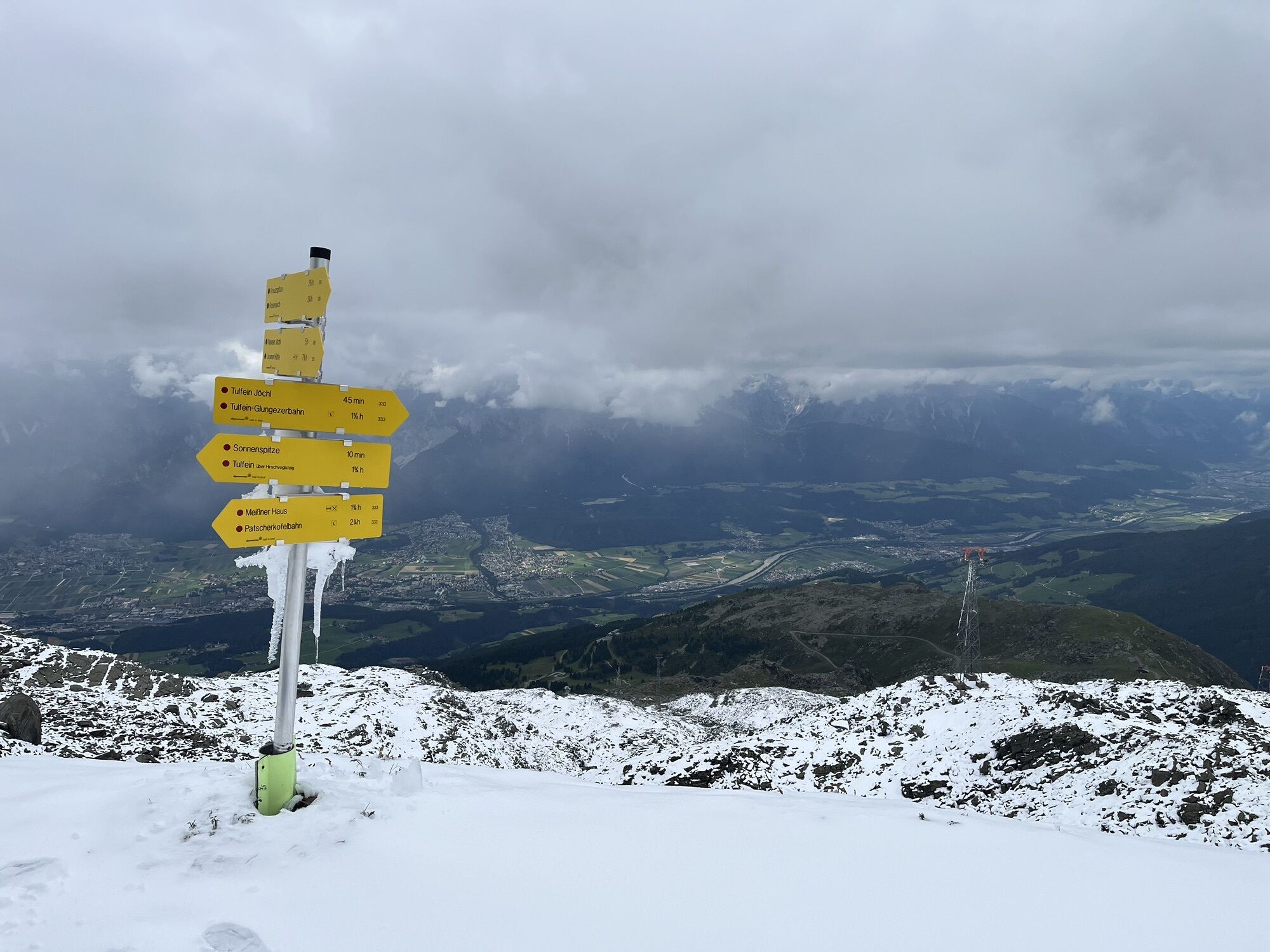
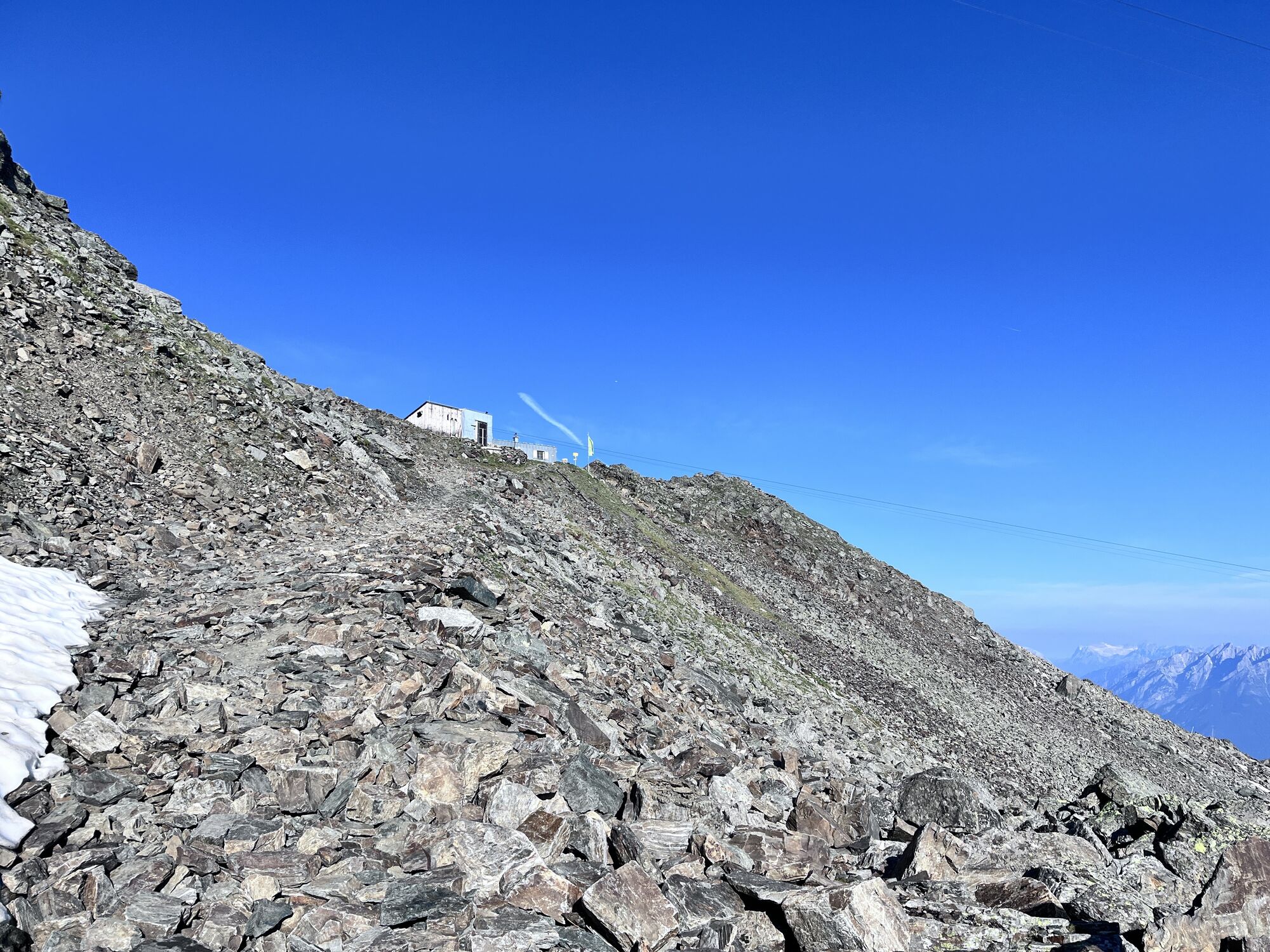
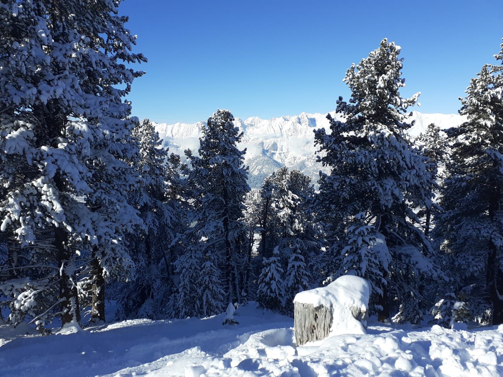
Keeping left from the top station of Glungezerbahn 2, via the Schartenkogel descent slope, we enter the free ski terrain again.
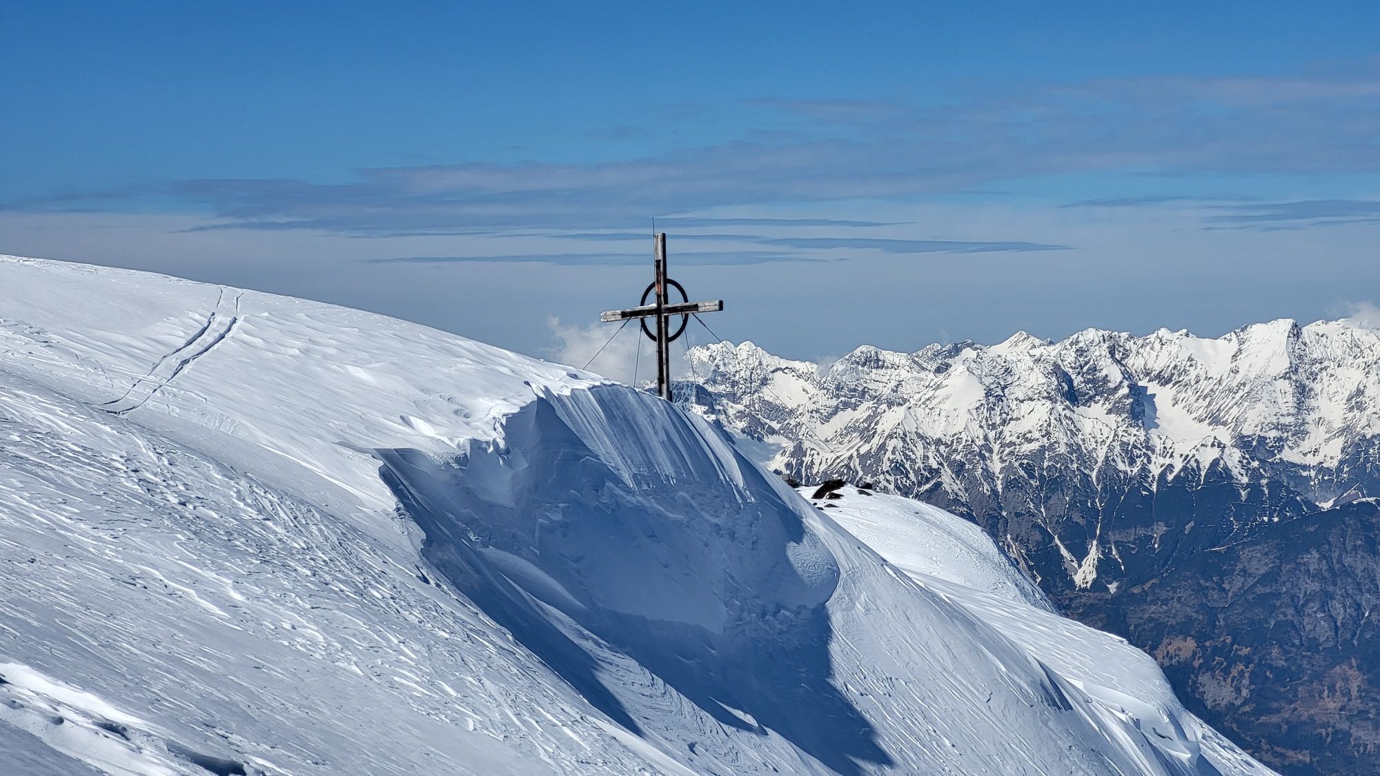
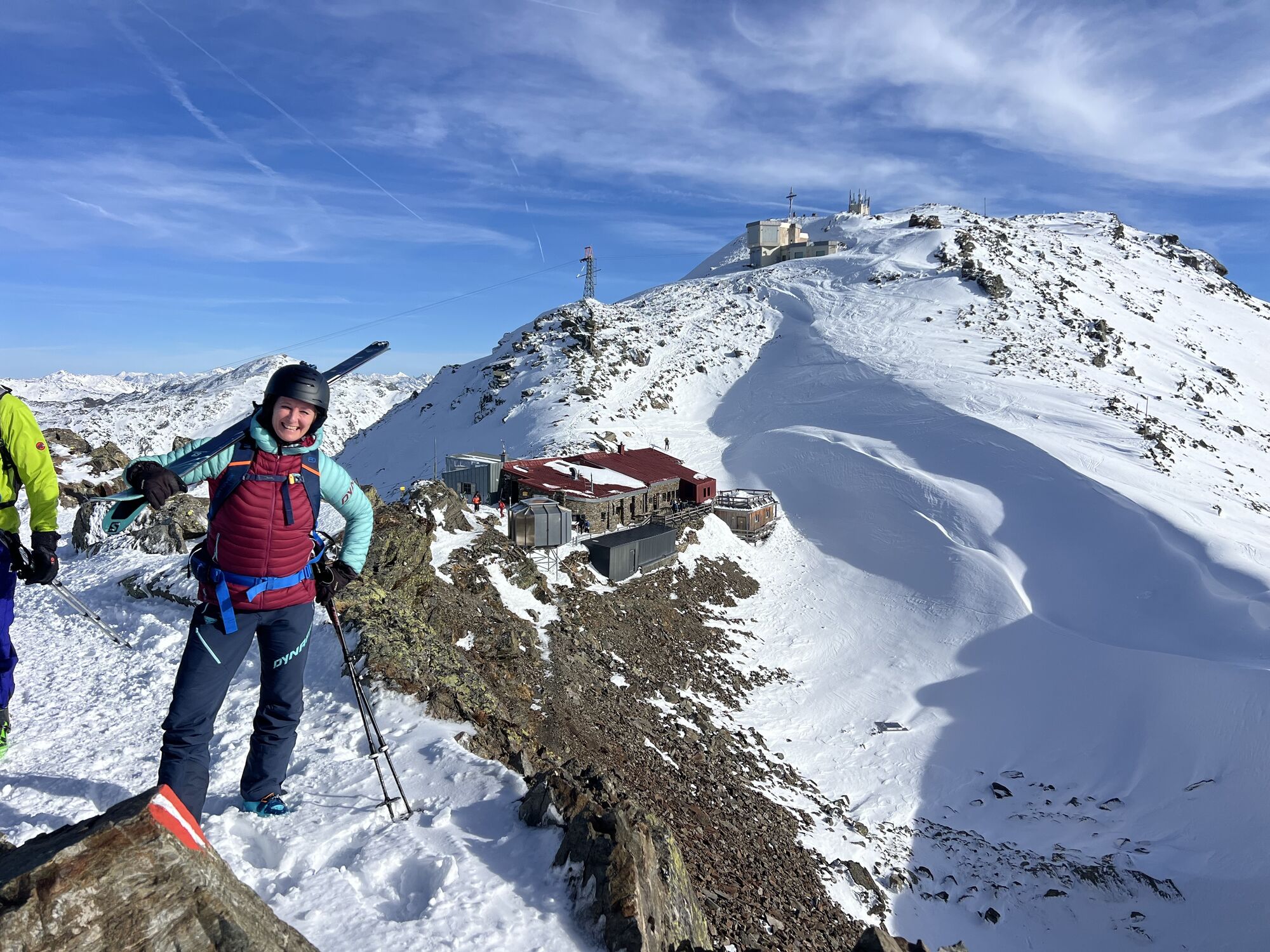
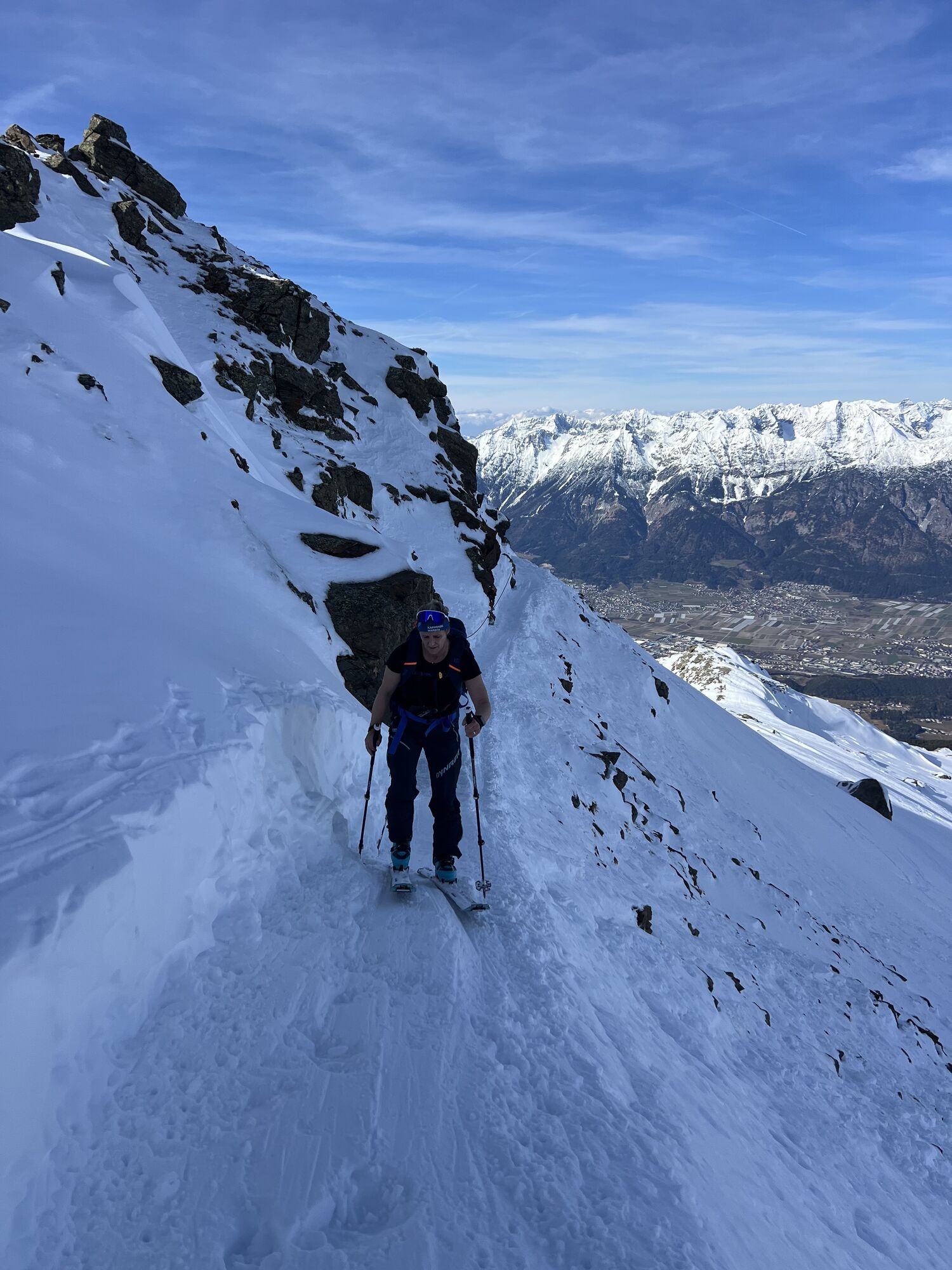
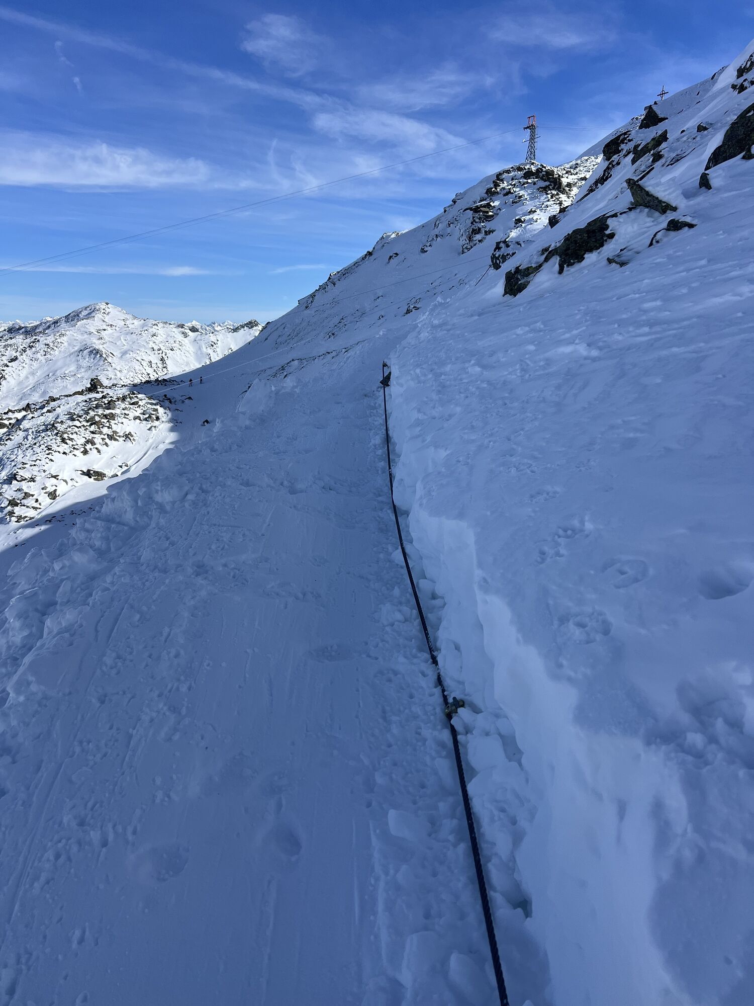
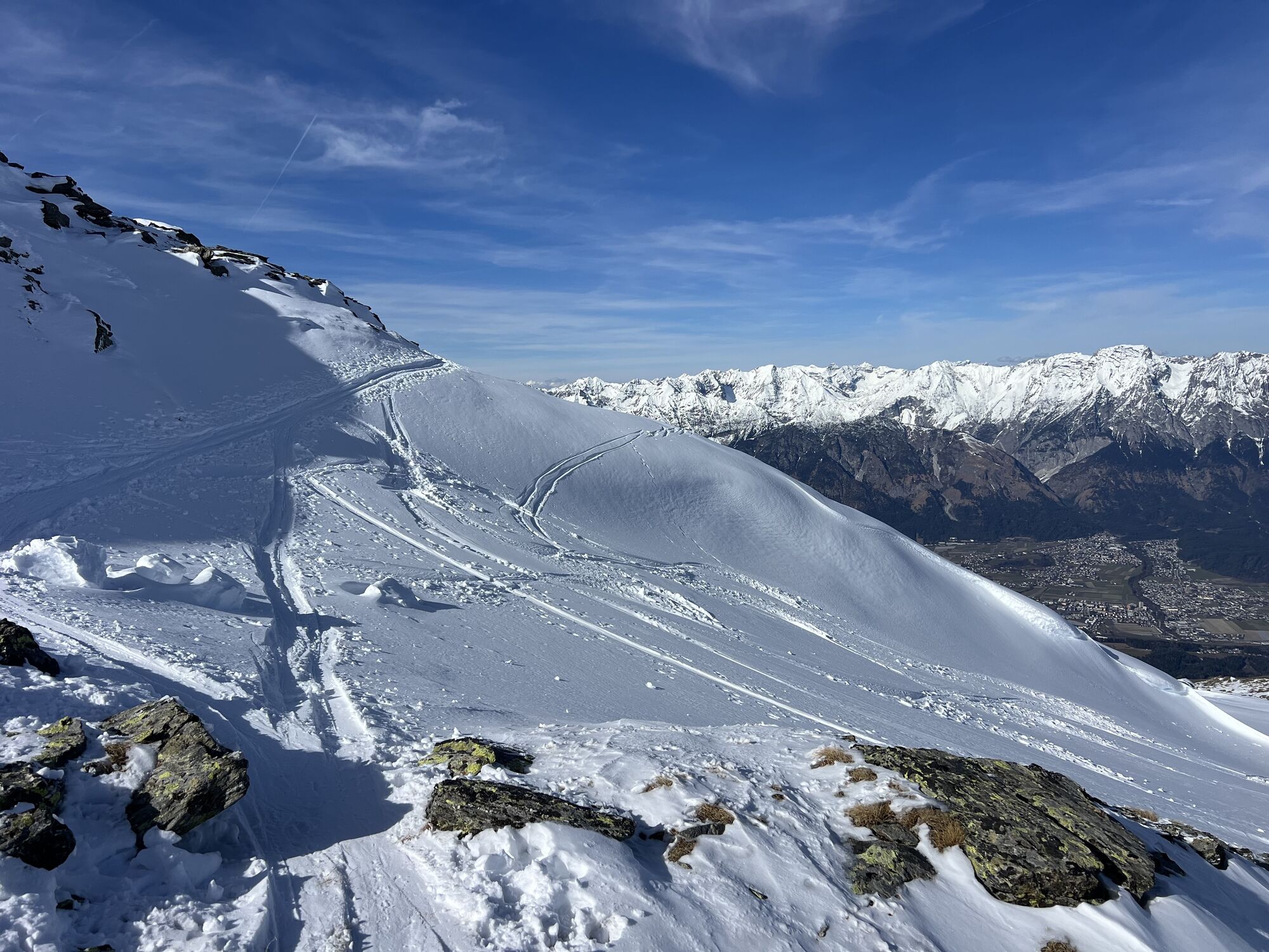
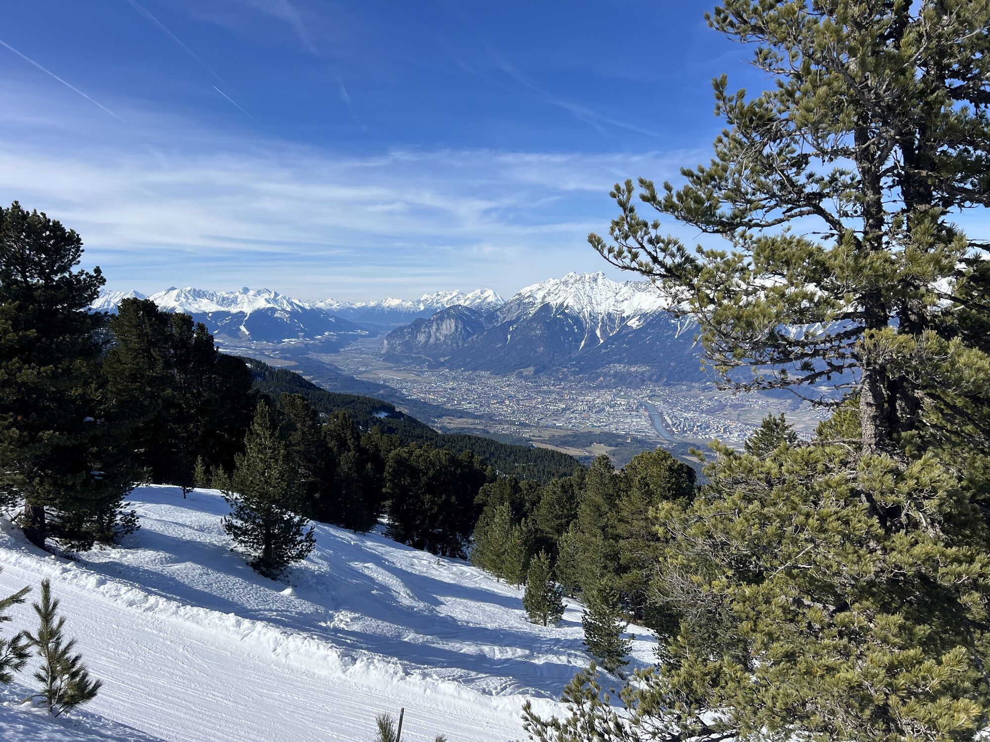
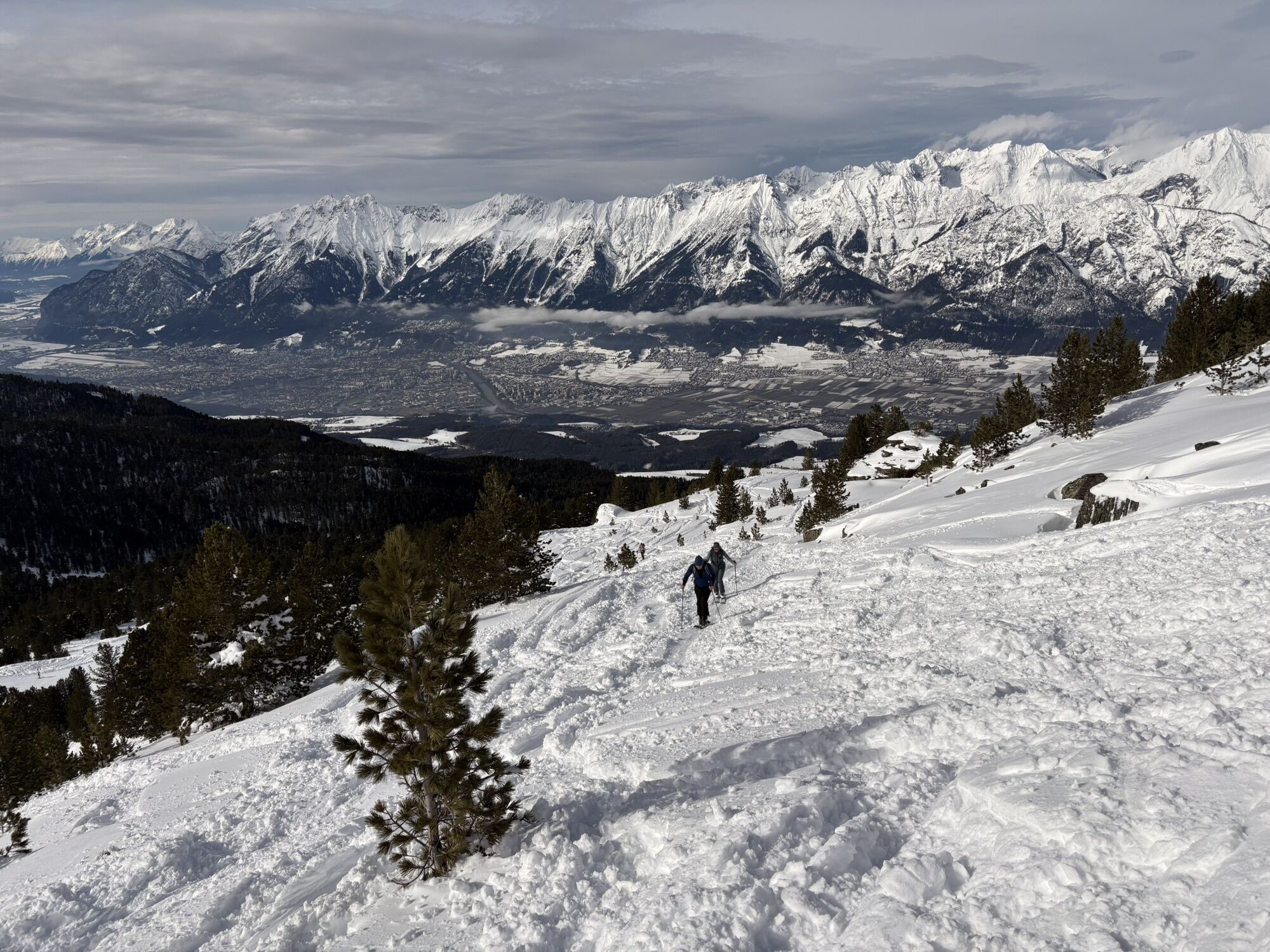
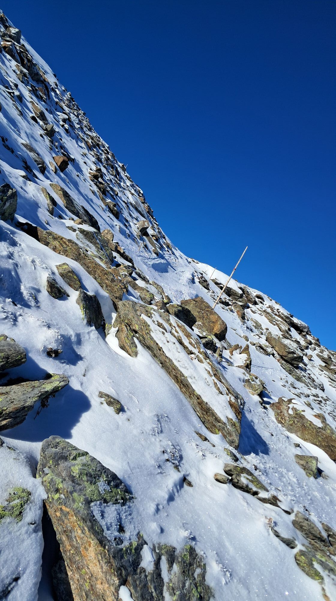
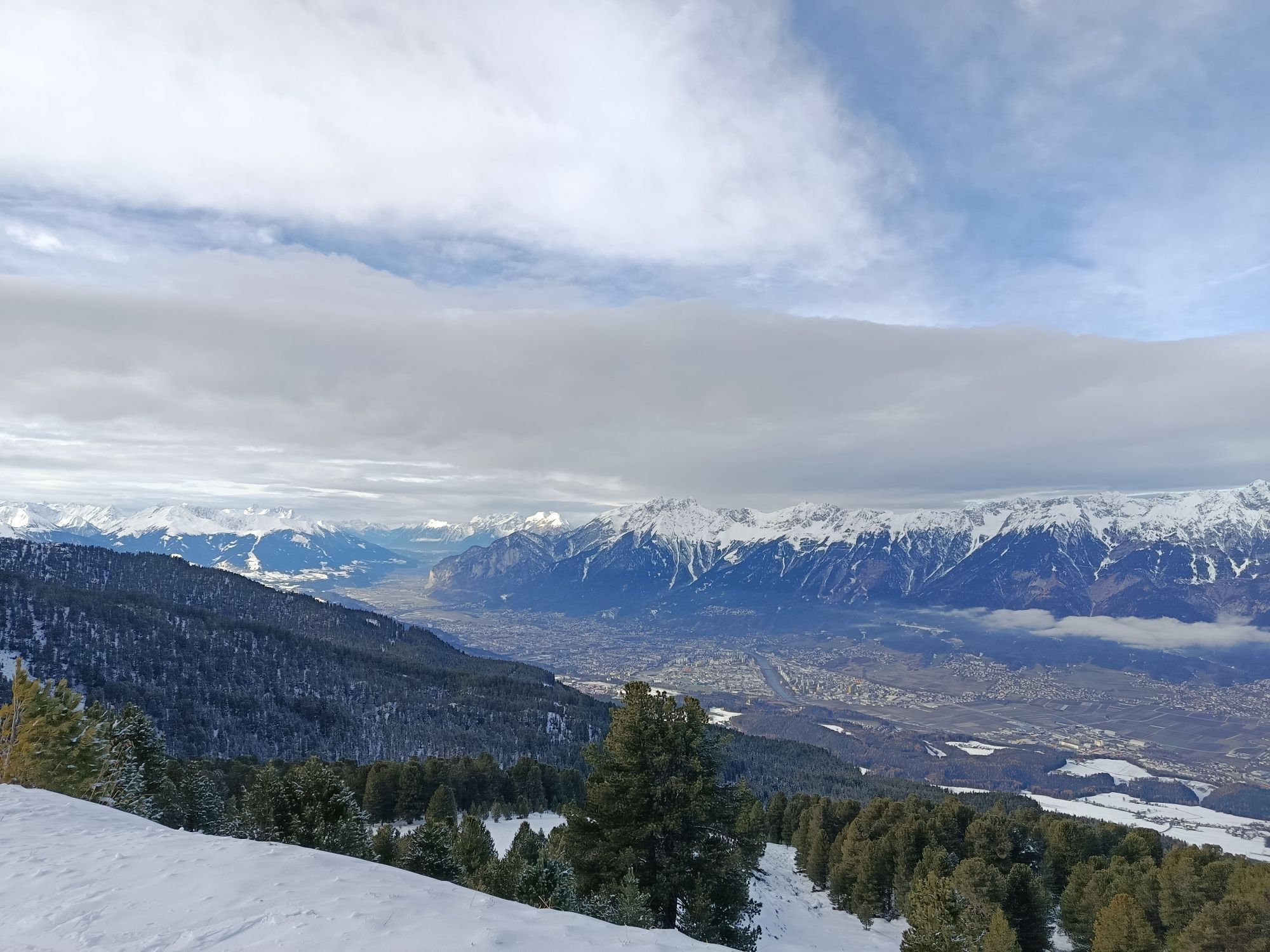
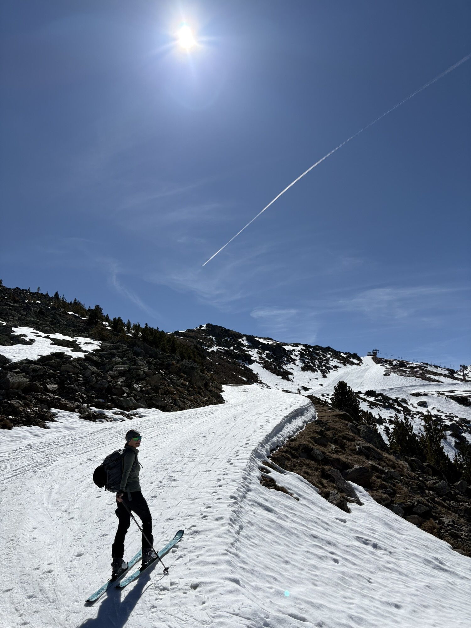
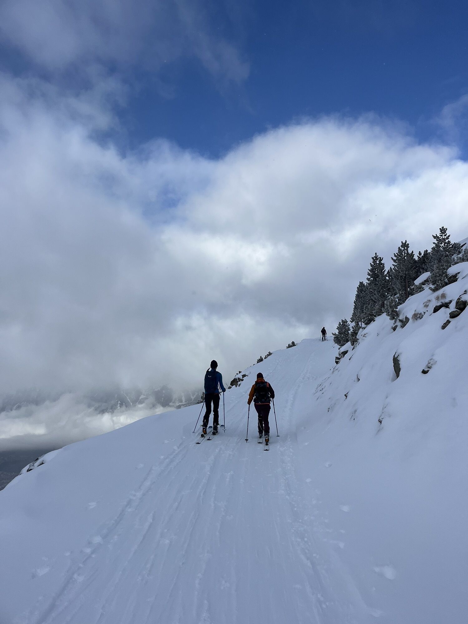
Now follow the marker poles up to the Glungezer summit.
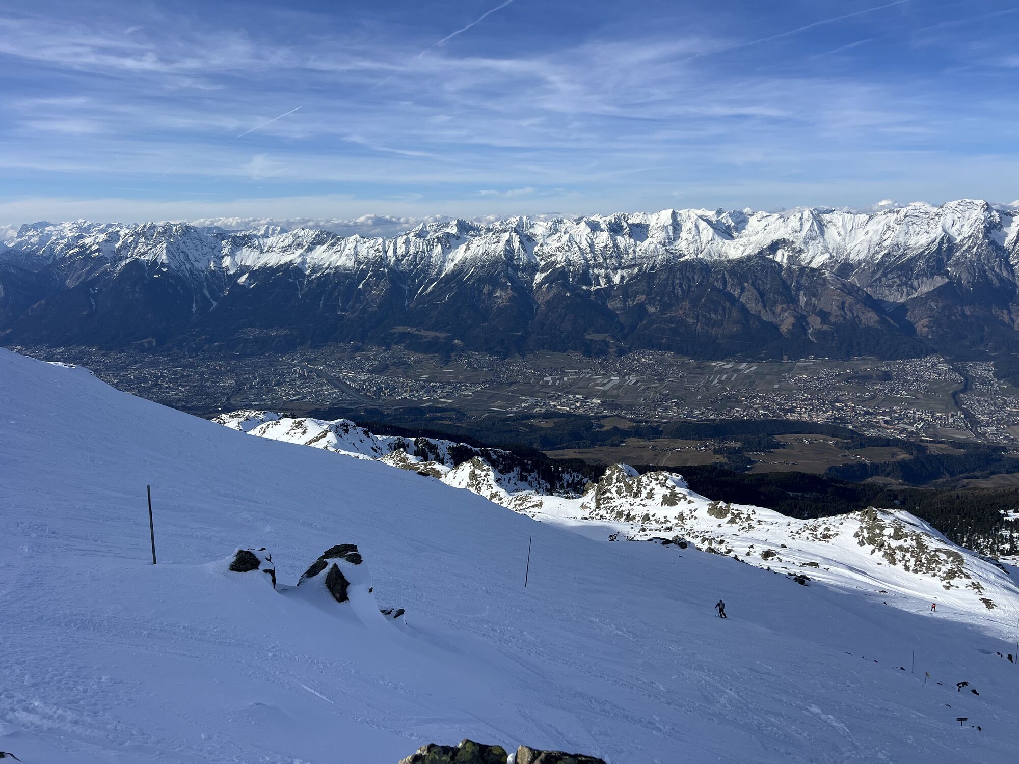
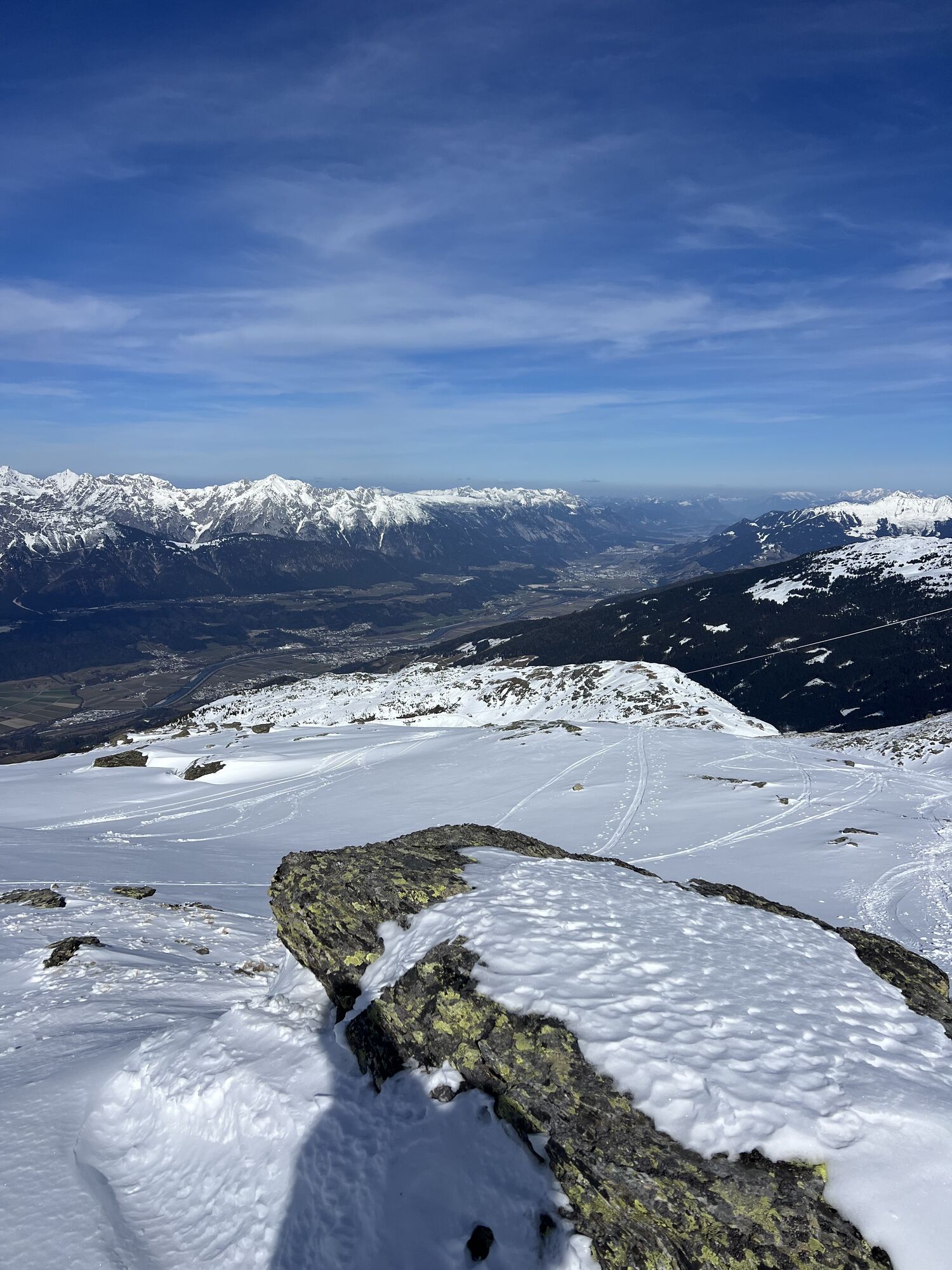
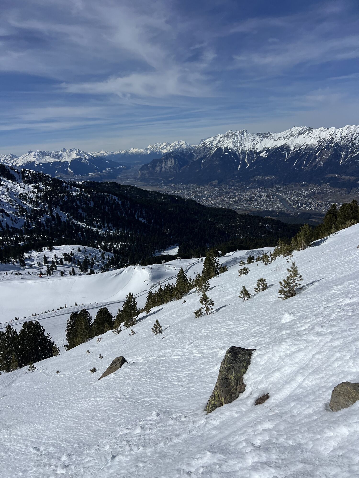
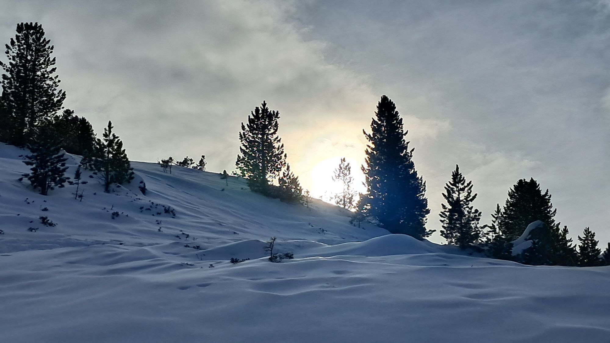
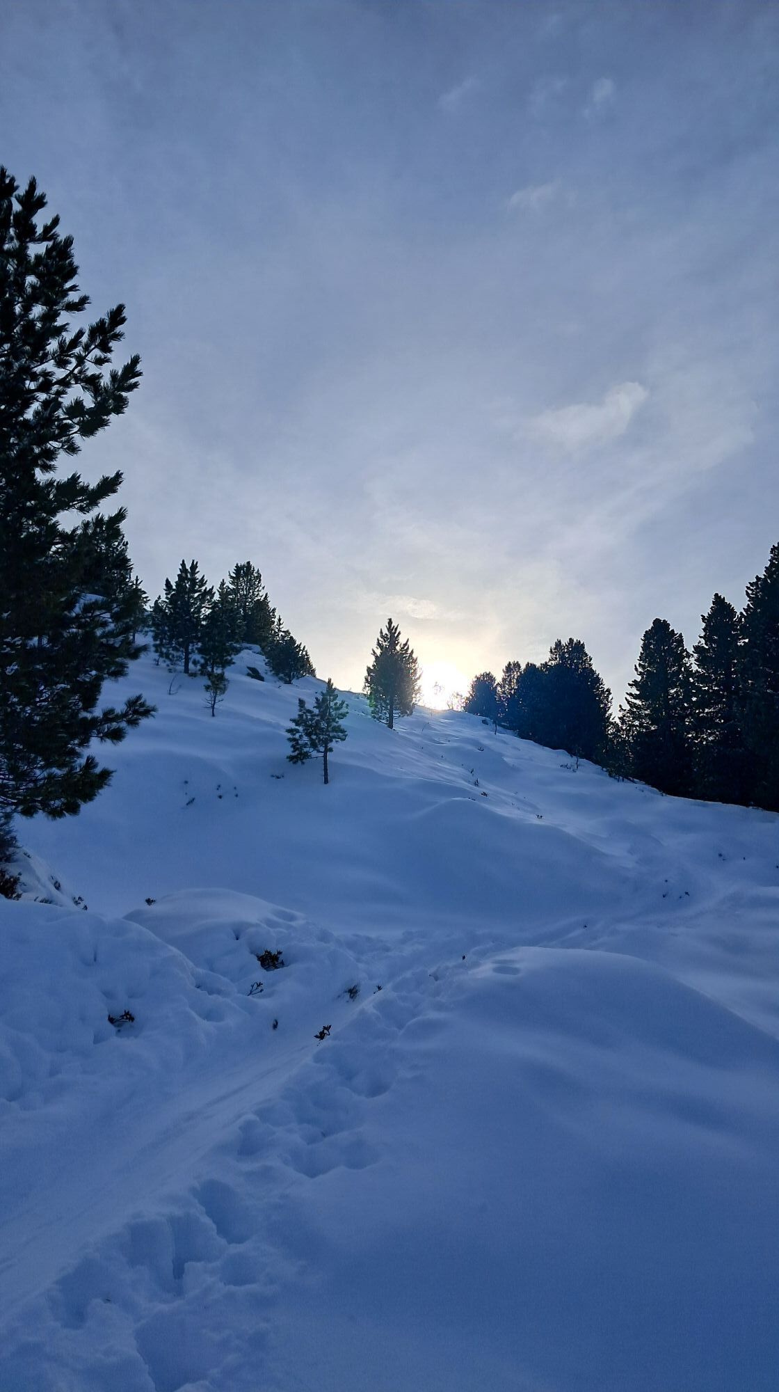
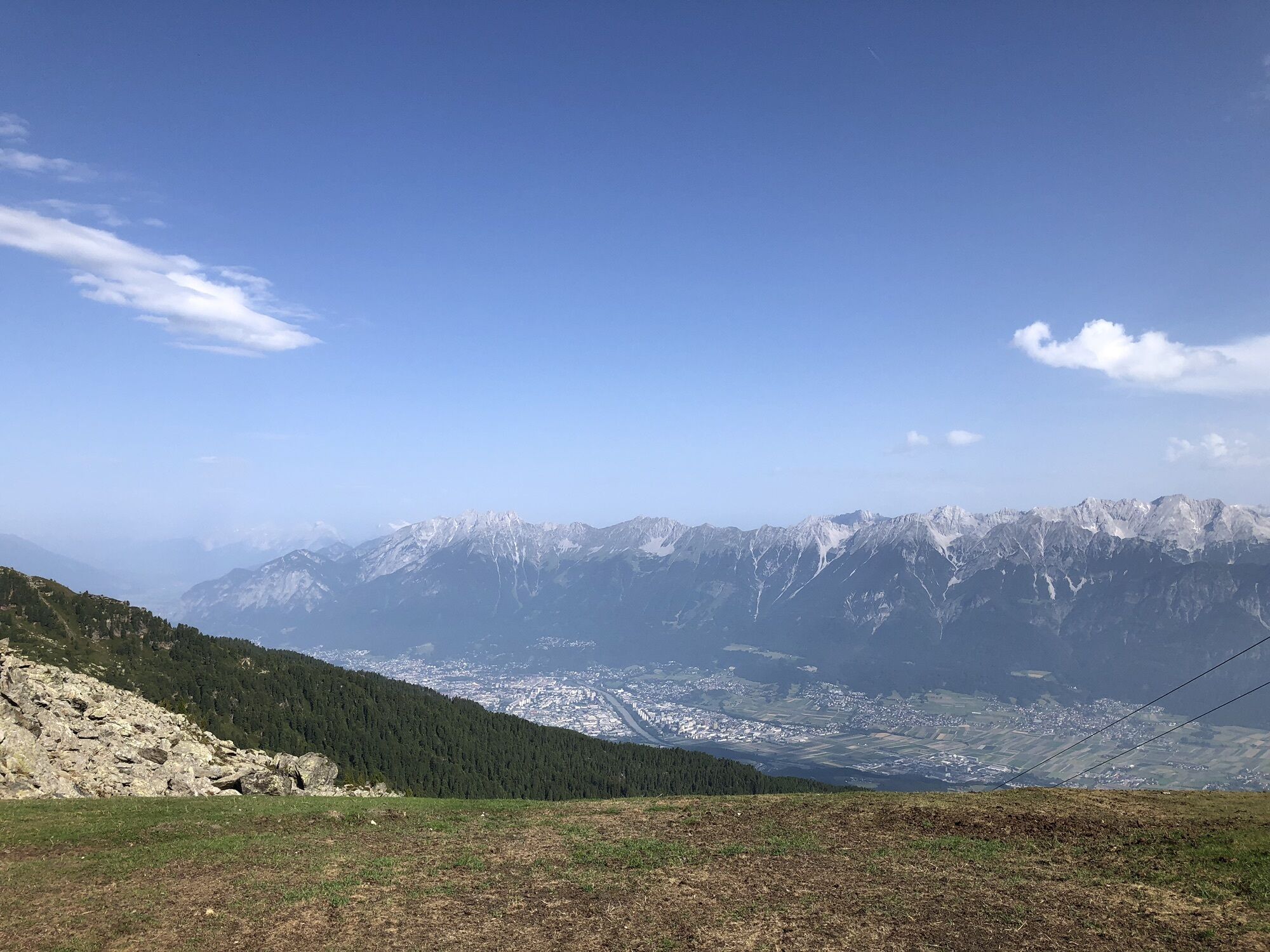
The descent is back in the area of the ascent track, returning to the piste and down this into the valley.
Áno
The route partly runs over the pistes of the Glungezerbahn; please follow the designated ascent track and observe the rules for piste routes.
Webové kamery z prehliadky
-
Glungezer-Gipfel
-
Kinderland Rinn
-
Inntal
-
Hall in Tirol - Heiligkreuz
-
Wattens - Swarovski Kristallwelten
-
Oberer Stadtplatz
-
Glungezerbahn Mittelstation
-
Swarovski Kristallwelten
-
Glungezerbahn Bergstation
-
Glungezerbahn Bergstation
-
Glungezerbahn Bergstation
-
Glungezerbahn Bergstation
-
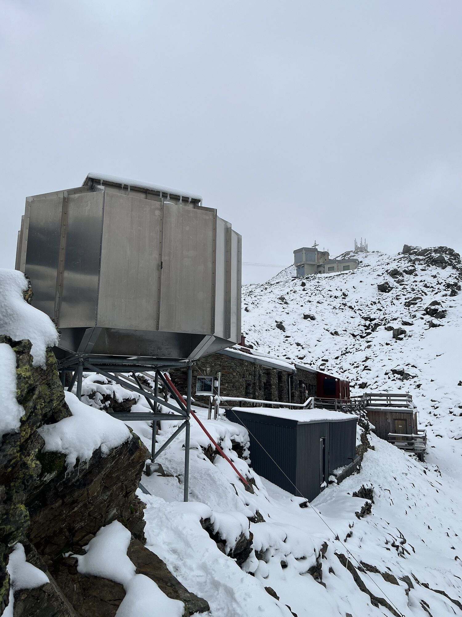
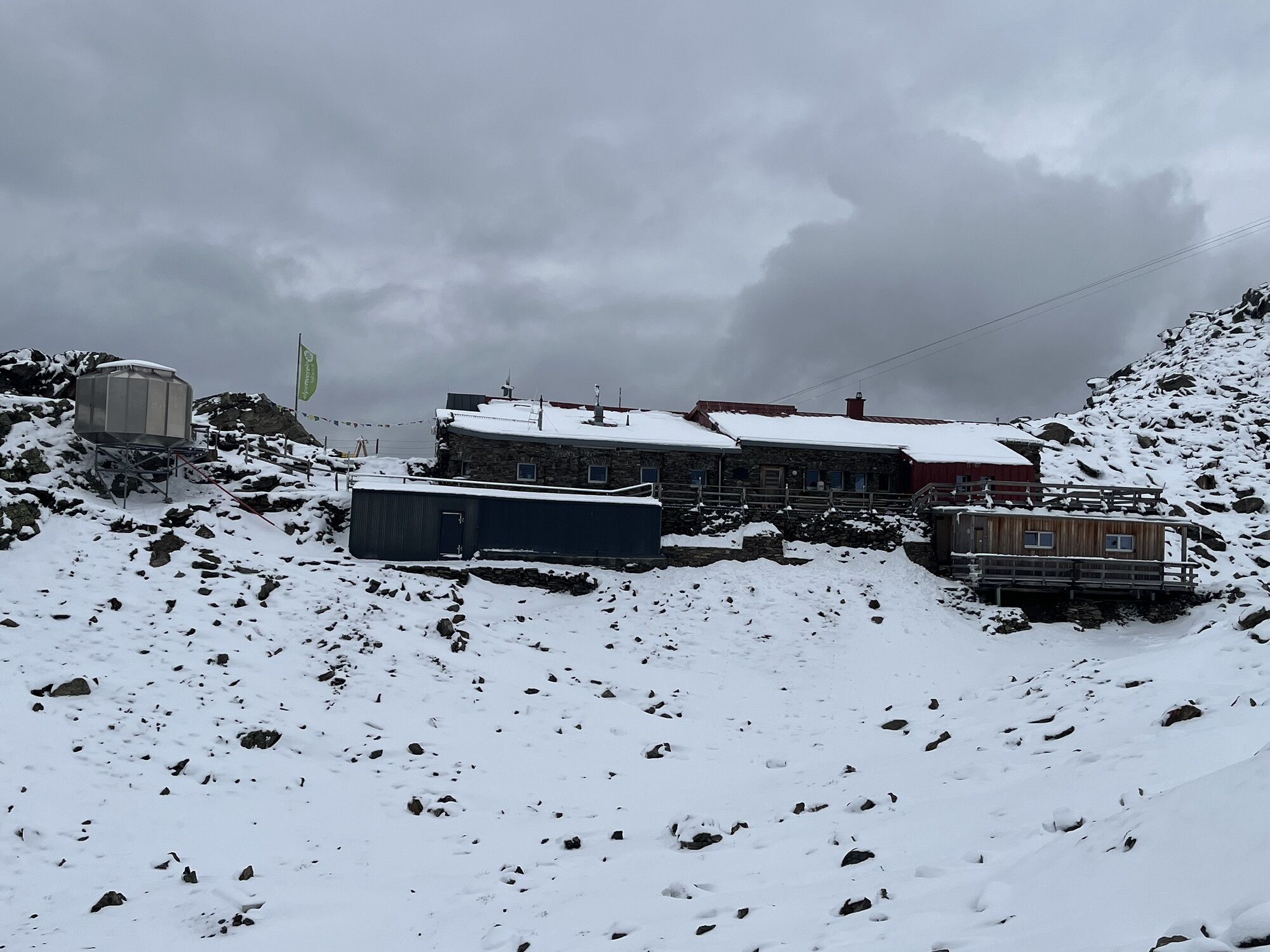
Glungezerhütte
-
Hall in Tirol
-
Glungezer-Gipfel
Obľúbené výlety v okolí
-
4,7
Felix-Kuen via ferrata on the Hundskopf
ťažkéVia ferrata 2,18 km -
4,8
Seegrube - Hungerburg
strednáTuristika 5,04 km -
4,6
Patscherkofl
strednáTuristika 18,5 km -
4,6
To the scenic Hochmahdkopf
strednáTuristika 8,31 km -
3,9
To the alpine inn St. Magdalena in the Halltal
strednáTuristika 7,24 km -
4,5
Up to the Largoz
strednáTuristika 7,01 km -
4,8
Halltal - Bettelwurfhütte - Kleiner und Großer Bettelwurf
ťažkéVysoké turné 16,2 km -
4,9
3 Almen Karwendelrunde MTB Route 408
ťažkéMountainbike 23,8 km -
4,7
Muttereralm Skitourentrack
svetloSkitour 3,23 km -
4,9
Patscherkofel Gipfelrunde mit Zirbenweg
svetloTuristika 6,52 km
Turistika a stopovanie


Nenechajte si ujsť ponuky a inšpiráciu na ďalšiu dovolenku
Vaša e-mailová adresa bol pridaný do poštového zoznamu.