
Ski tour Tessenberger Alm 1.950m
svetlo
Získajte túto prehliadku v mobilnom telefóne
Ski tour Tessenberger Alm 1.950m
svetlo
Skitour
7,41
km
Naskenujte kód QR a spustite navigáciu v aplikácii bergfex


Turistika a stopovanie





Ski tour Tessenberger Alm 1.950m
svetlo
Vzdialenosť
7,41
km
Trvanie
02:00
h
Ascent
894
hm
Hladina mora
1 325 -
2 247
m
Stiahnutie skladby
Ski tour Tessenberger Alm 1.950m
svetlo
Skitour
7,41
km
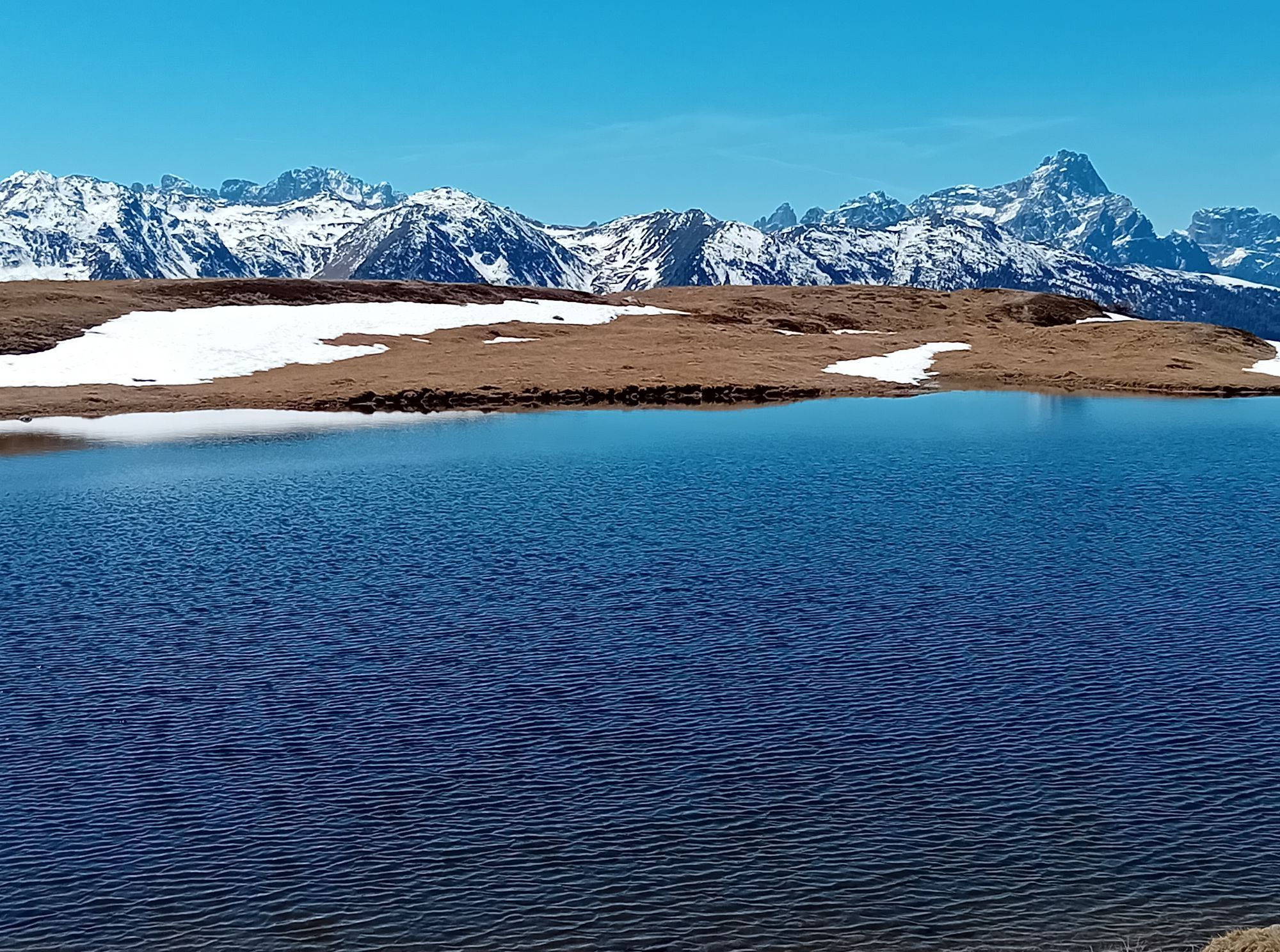
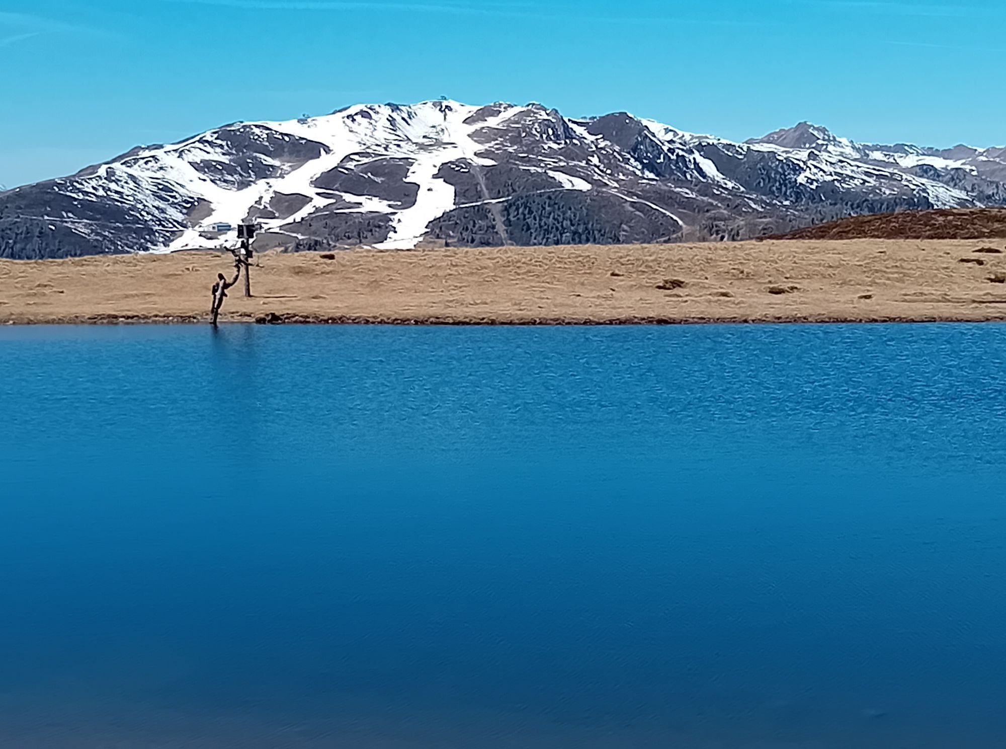
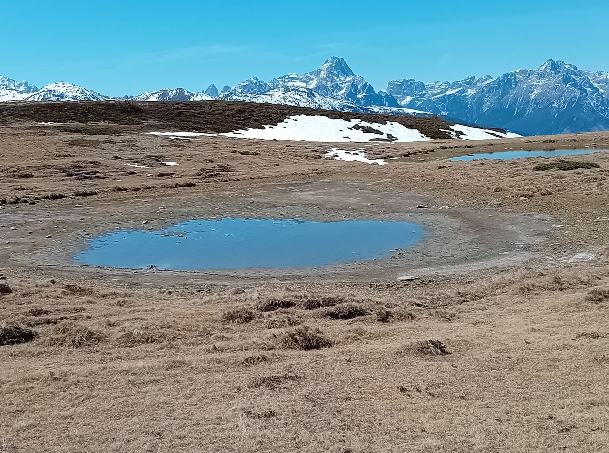
The wonderful Tessenberger Alm is situated to the north of the town of Heinfels in the sunny area of Pustertal and is a perfect tour destination for pleasure-seekers, sun-worshippers and those who are...
Opis
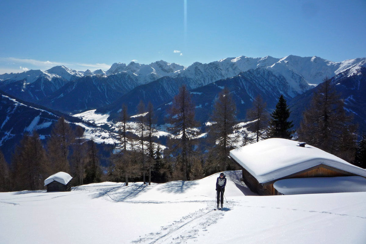
The wonderful Tessenberger Alm is situated to the north of the town of Heinfels in the sunny area of Pustertal and is a perfect tour destination for pleasure-seekers, sun-worshippers and those who are new to ski tours, who want to find out more about ski touring without any appreciable risk of avalanche. The Steinrastl is the highest point of the Tessenberger Alm high plateau and you can head there as an encore. The ski tour to Tessenberger Alm is only advisable in winter when snow is plentiful, due to its sunny setting. Starting point is on a slope terrace in the idyllically located parish of Tessenberg (1340 m). It is accessible from the town of Heinfels, parish of Panzendorf, via a 3 km mountain road which provides plenty of views which starts behind a little sports ground, where a forest trail then starts (1320 m, not much parking available). It is also possible to start out directly in the village and between the houses heading west for the fields. For the descent you can head on the pastures to the rural road. We now follow the forest trail to the first junction where the 5 km road to the Tessenberger Alm bears right (signposts). This is later used as the descent and for the ascent is somewhat monotonous. We head straight on at the junction (west) and soon leave the forest road at an Alpine inn which is bathed in sunshine. Across fantastic glades, interspersed with forested sections, the track now swings in a northerly direction uphill. Crossing the road on several occasions, after 1 ½ - 2 hours we get to the pretty Tessenberger Almrast (1940 m). The forest now becomes somewhat lighter and we follow the track briefly to the north-east, to more lovely Alpine inns at the start of a somewhat steep glade. This takes us in a few hairpin bends to the high plateau of the Tessenberger Alm, where we head north to the big cross on the Tessenberg (around 2130 m). Descent along the ascent track.
Additional ski tour tips can be obtained in the ski tour guides by Thomas Mariacher. These are available here: http://www.grafikzloebl.at/verlag/buecher/
Trasa
Tessenberg
(1 301 m)
Dedina
0,0 km
Astrane
(1 804 m)
Koridor/terén
3,9 km
Glinzzipf
(2 126 m)
Summit
5,8 km
Kühegg
(2 253 m)
Summit
7,1 km
Trasa
Ski tour Tessenberger Alm 1.950m
svetlo
Skitour
7,41
km
Tessenberg
(1 301 m)
Dedina
0,0 km
Borzen
(1 596 m)
Koridor/terén
2,4 km
Astrane
(1 804 m)
Koridor/terén
3,9 km
Glinzzipf
(2 126 m)
Summit
5,8 km
Kühegg
(2 253 m)
Summit
7,1 km



Informácie o príchode
Príchod
Mit dem Auto bis nach Heinfels
Verejná doprava
Mit dem Bus bis zur Haltestelle "Panzendorf Gemeindeamt Heinfels"
Parkovanie
Parkplatz Gemeindeamt Heinfels
Zatiaľ žiadne recenzie
Webové kamery z prehliadky
Získajte prehľad
Vždy naživo na mieste s viac ako 9 500 webovými kamerami. bergfex Ako používateľ Pro si teraz môžete pozrieť príslušné webové kamery pre mnohé zájazdy v aplikácii zájazdy z. Môžete si tak priamo prezerať aktuálne podmienky.
Obľúbené výlety v okolí
-
4,5
Kartitsch-Obstansersee Hütte
strednáTuristika 13,1 km -
4,8
Rotwandwiesen kreuzbergpass rundweg
strednáTuristika 12,0 km -
3,9
Rotwandspitze
strednáVia ferrata 10,6 km -
4,8
Von Kalkstein auf das Toblacher Pfannhorn (2.663 m) und Marchkinkele
strednáTuristika 14,2 km -
4,3
Connyalm (2.070 m)
Turistika 6,36 km -
4,1
Helm und Sillianer Hütte
svetloTuristika 8,17 km -
5,0
Porzehütte (1.942 m)
svetloTuristika 9,01 km -
4,8
Sillianer Hütte 2.447 m
strednáTuristika 16,8 km -
4,9
Fischleintalhütte - Rotwandwiesen - Rotwandköpfe - Talschlusshütte- Fischleintalhütte
strednáTuristika 13,4 km -
5,0
Karnischer Höhenweg – Etappe 2: Obstansersee Hütte – Porzehütte
ťažkédiaľková pešia trasa 12,0 km
Turistika a stopovanie

Viac ako 550.000 návrhov výletov, podrobné mapy a intuitívny plánovač trás robia z aplikácie povinnú výbavu pre všetkých nadšencov prírody.

Nenechajte si ujsť ponuky a inšpiráciu na ďalšiu dovolenku
Prihlásiť sa k odberu noviniek
Chyba
Vyskytla sa chyba. Prosím, skúste to znova.
Ďakujeme za vašu registráciu
Vaša e-mailová adresa bol pridaný do poštového zoznamu.
Zájazdy po celej Európe
Rakúsko
Švajčiarsko
Nemecko
Taliansko
Slovinsko
Francúzsko
Holandsko
Belgicko
Poľsko
Lichtenštajnsko
Česko
Slovensko
španielsko
Hrvaška
Bosna a Hercegovina
Luxembursko
Andorra
Portugalsko
Island
Spojené kráľovstvo
Írsko
Grécko
Albánsko
Severné Macedónsko
Malta
Nórsko
Čierna Hora
Moldavsko
Kosovo
Maďarsko
San Maríno
Rumunsko
Estónsko
Lotyšsko
Bielorusko
Cyprus
Litva
Srbsko
Bulharsko
Monako
Dánsko
Švédsko
Fínsko





