
Ski tour Hinterbergkofel 2.726m
stredná
Získajte túto prehliadku v mobilnom telefóne
Ski tour Hinterbergkofel 2.726m
stredná
Skitour
4,03
km
Naskenujte kód QR a spustite navigáciu v aplikácii bergfex


Turistika a stopovanie





Ski tour Hinterbergkofel 2.726m
stredná
Vzdialenosť
4,03
km
Trvanie
03:00
h
Ascent
720
hm
Hladina mora
1 981 -
2 699
m
Stiahnutie skladby
Ski tour Hinterbergkofel 2.726m
stredná
Skitour
4,03
km
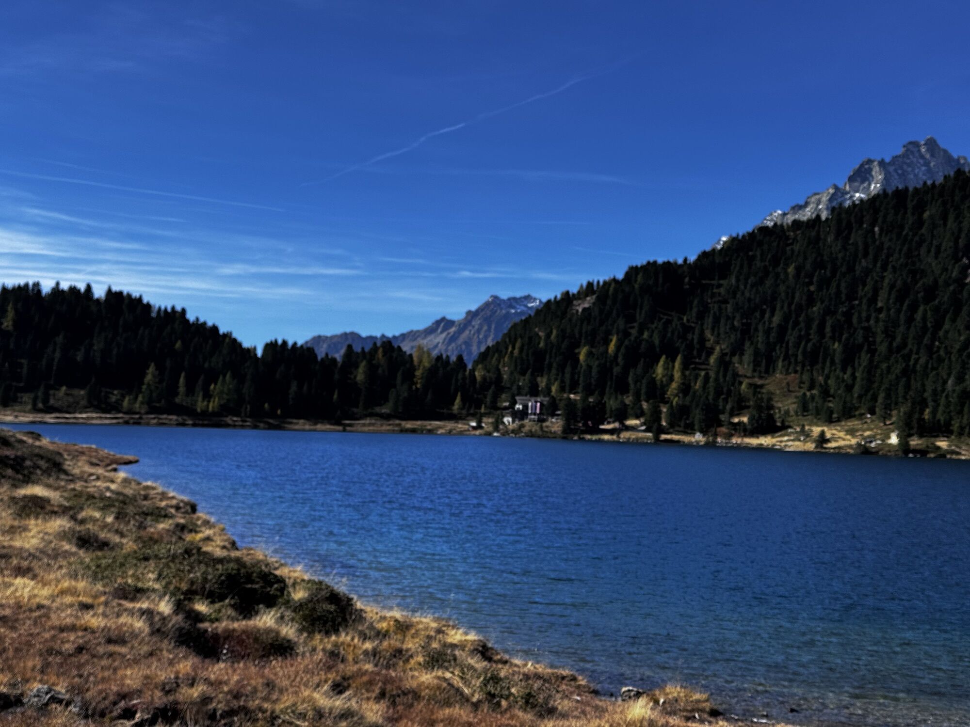
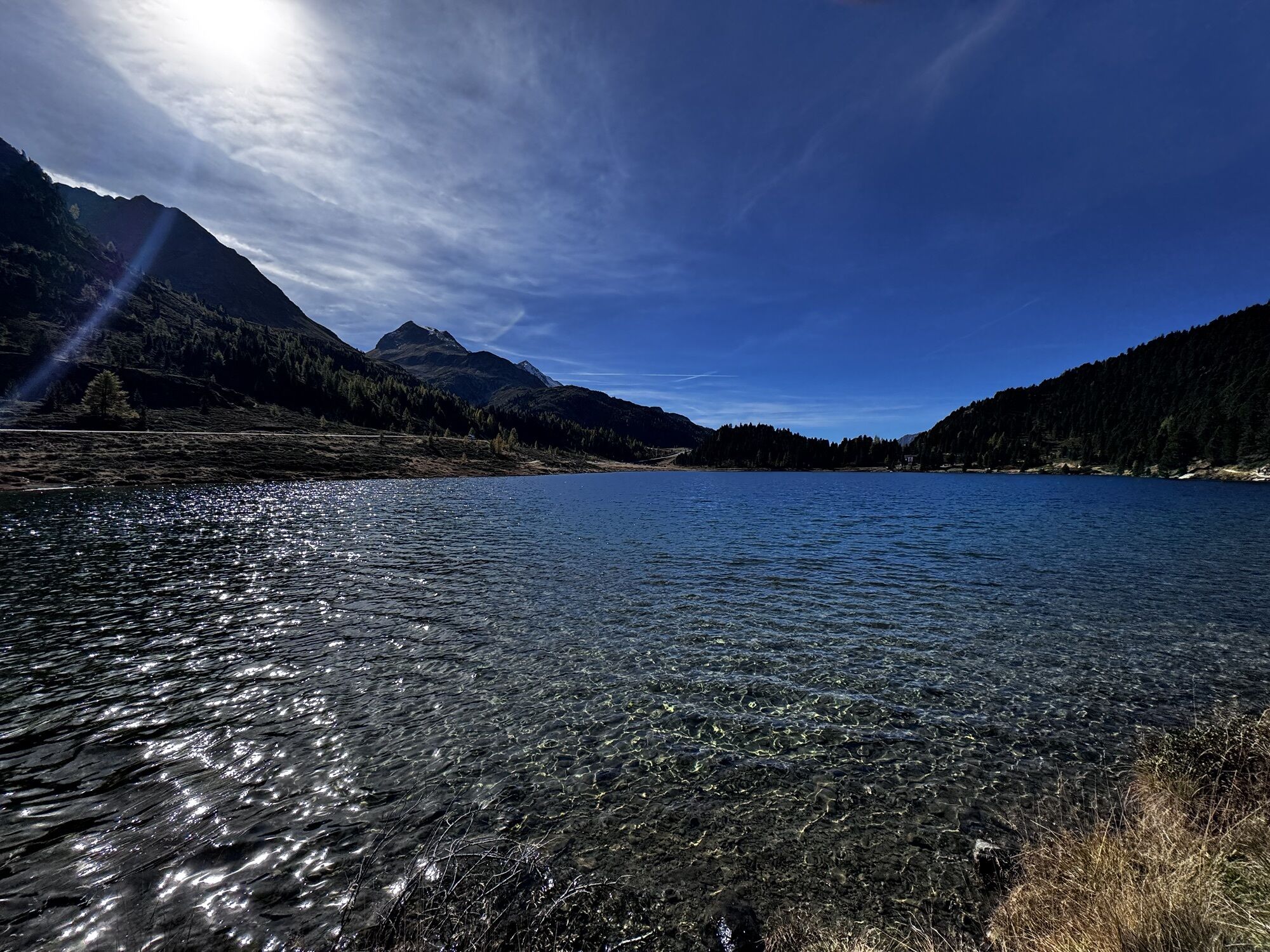
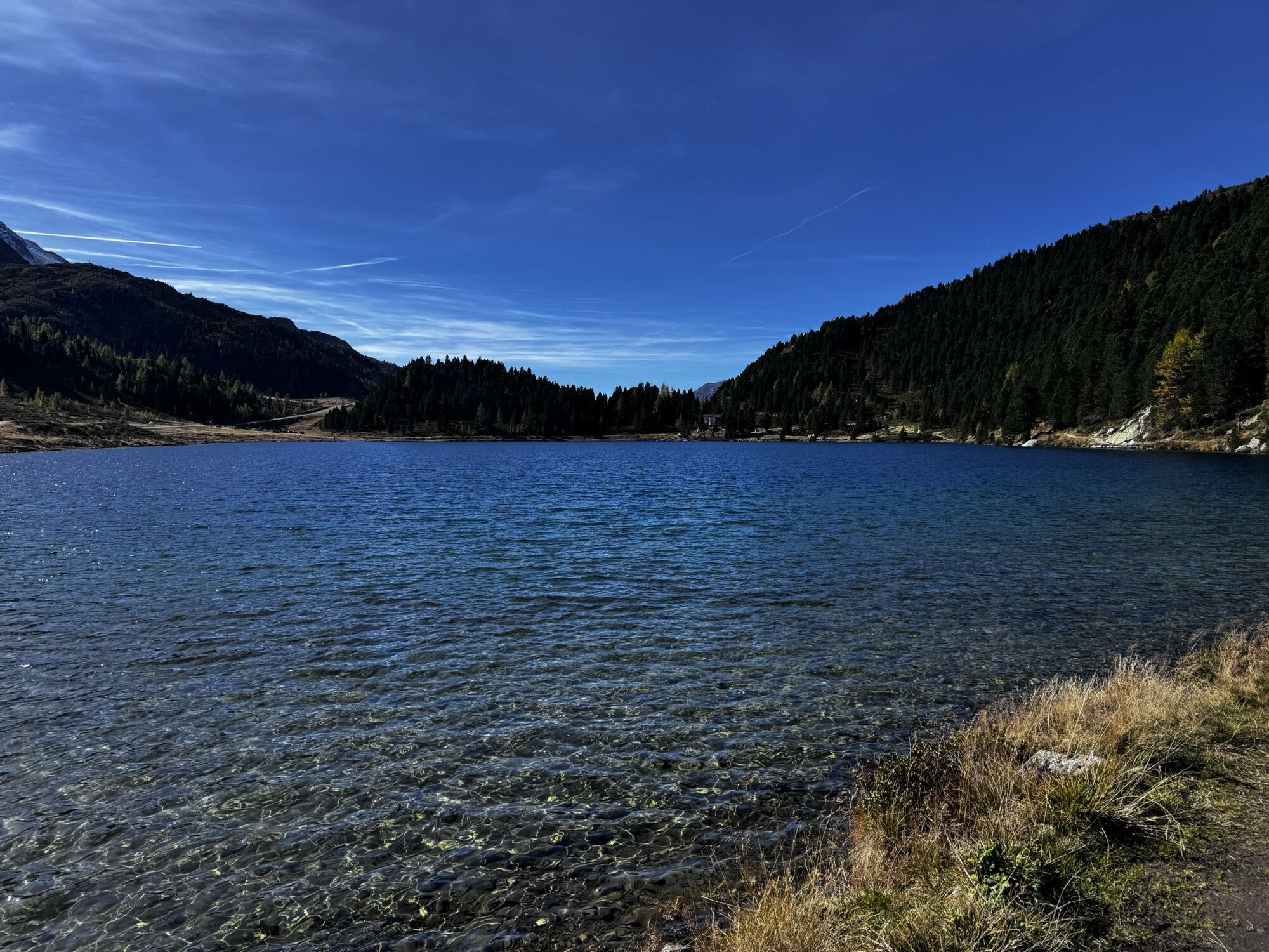
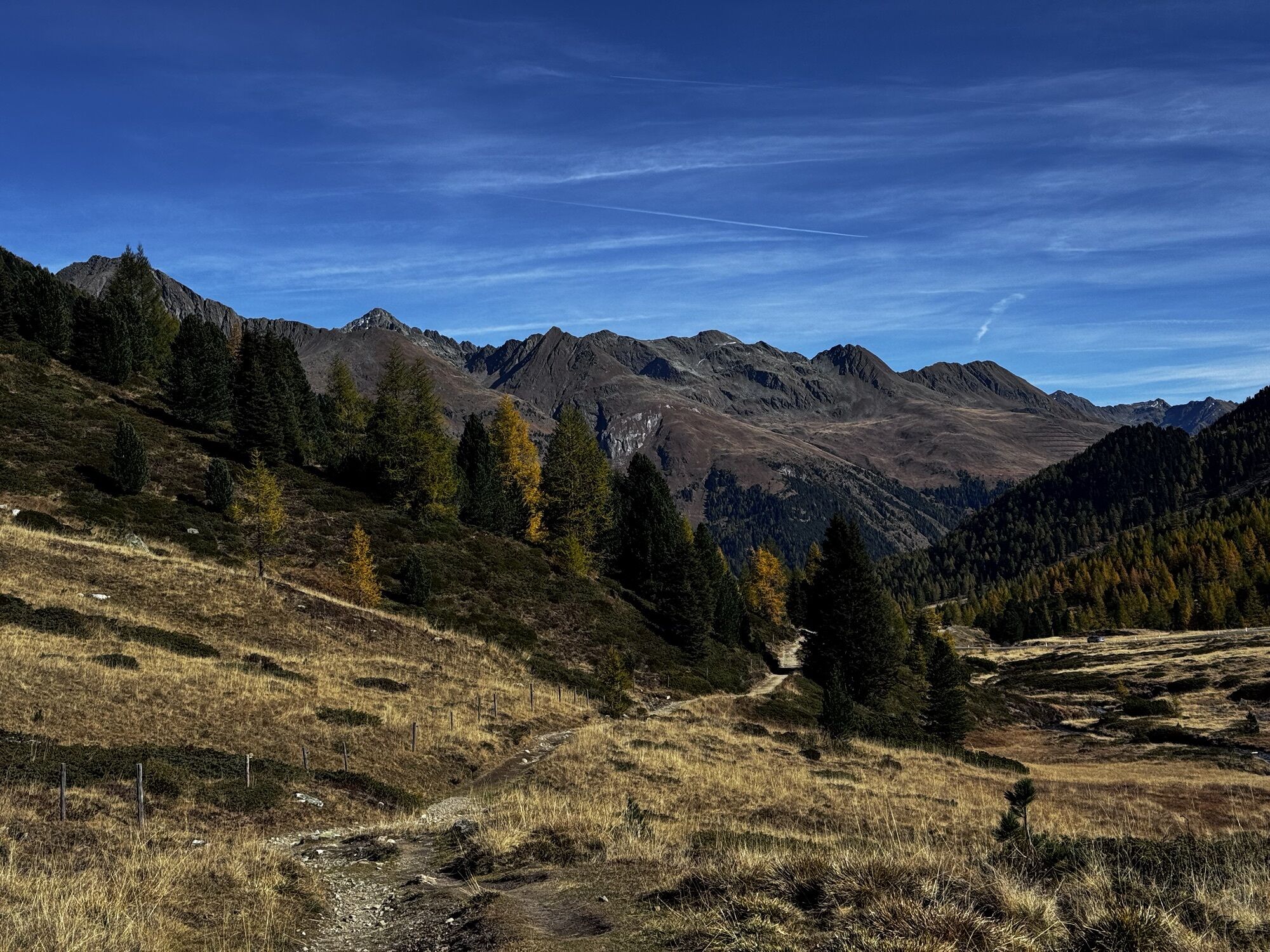
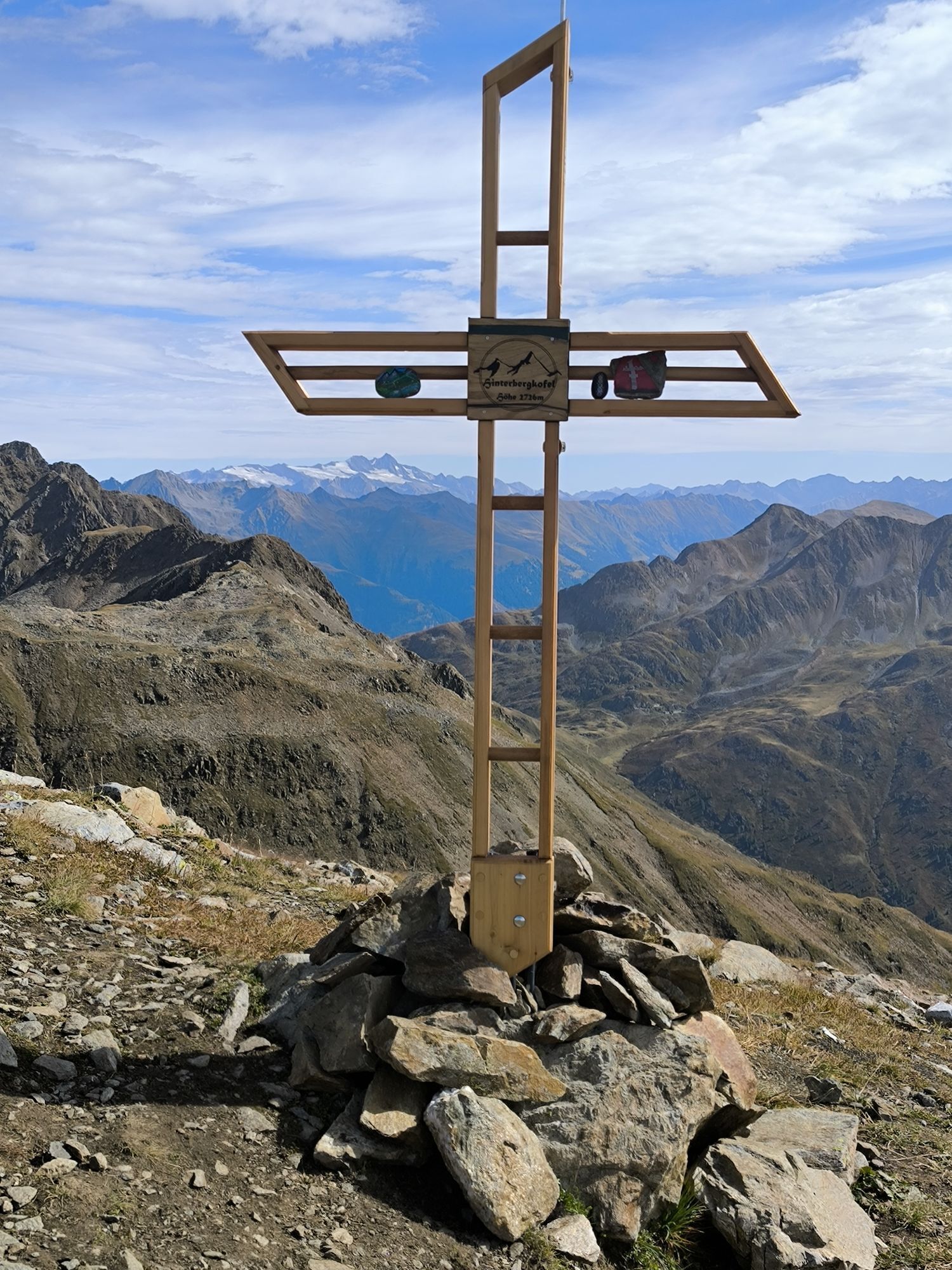
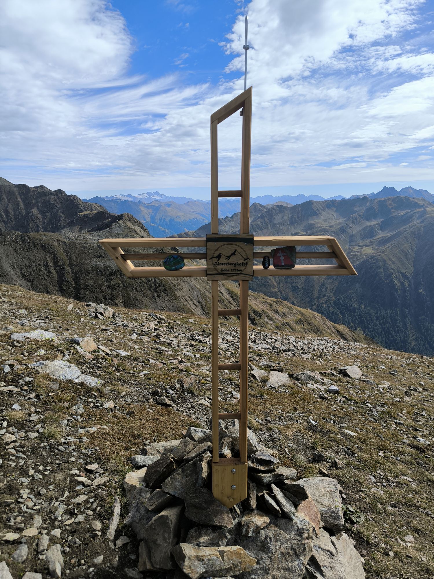
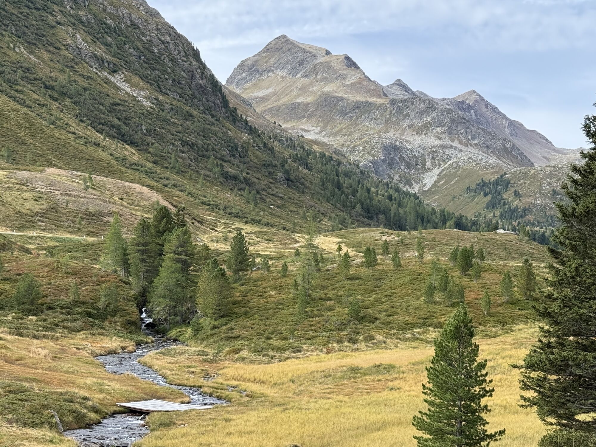
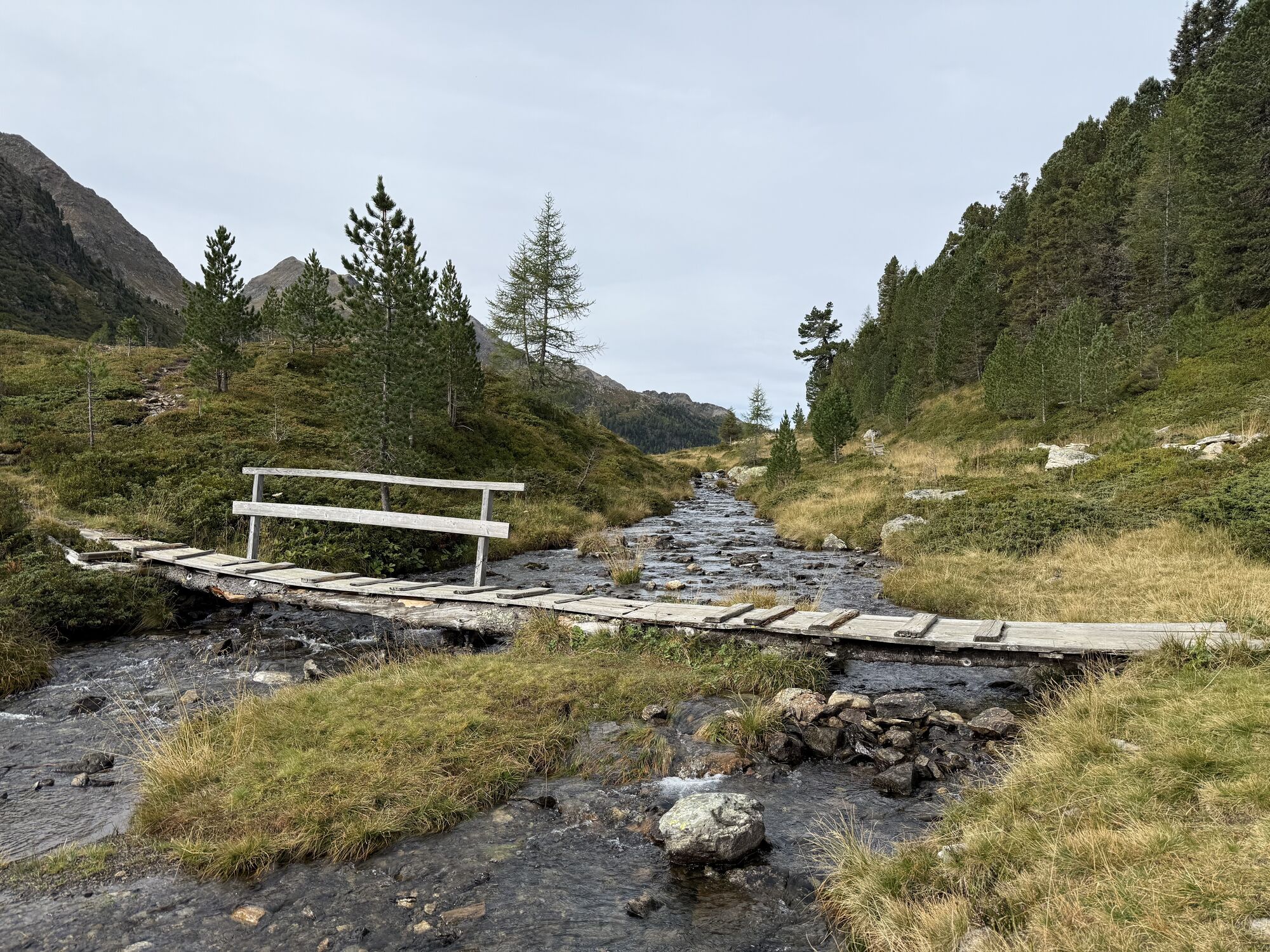
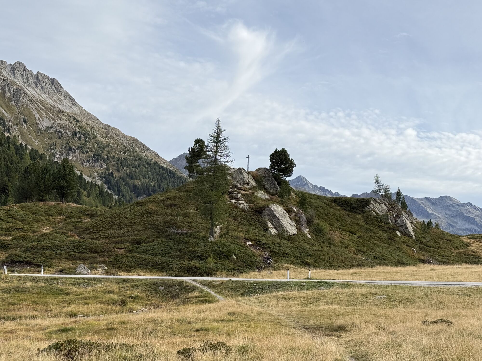
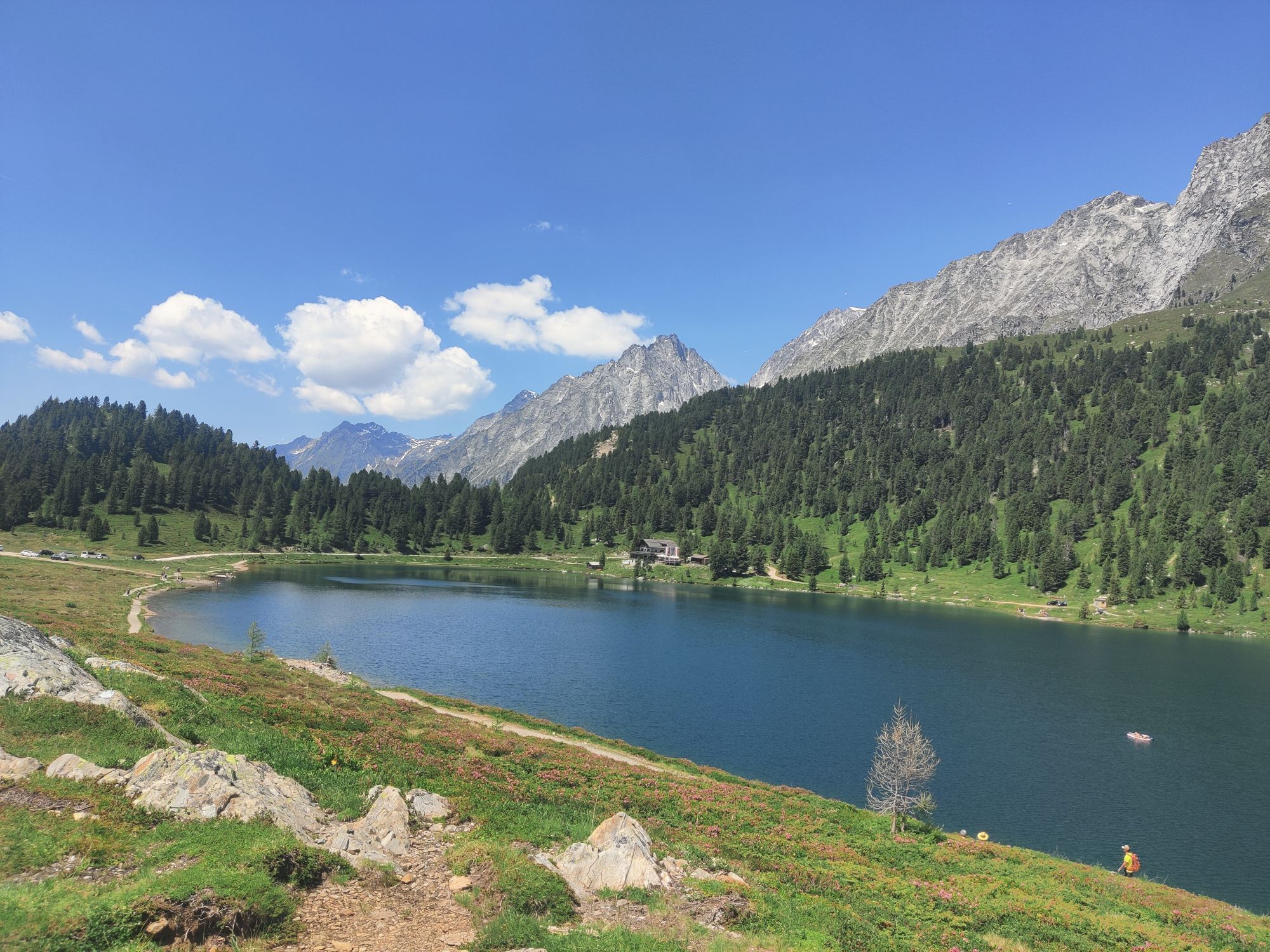
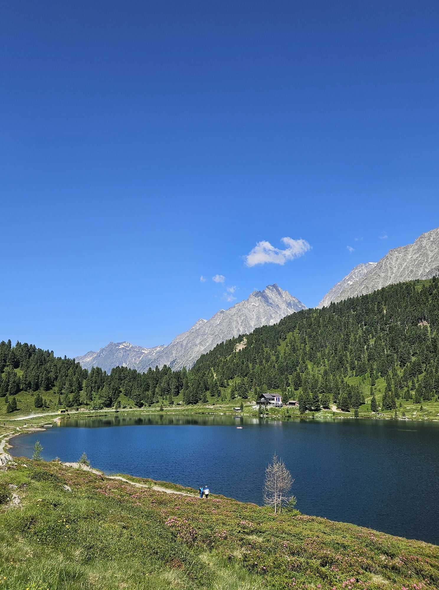
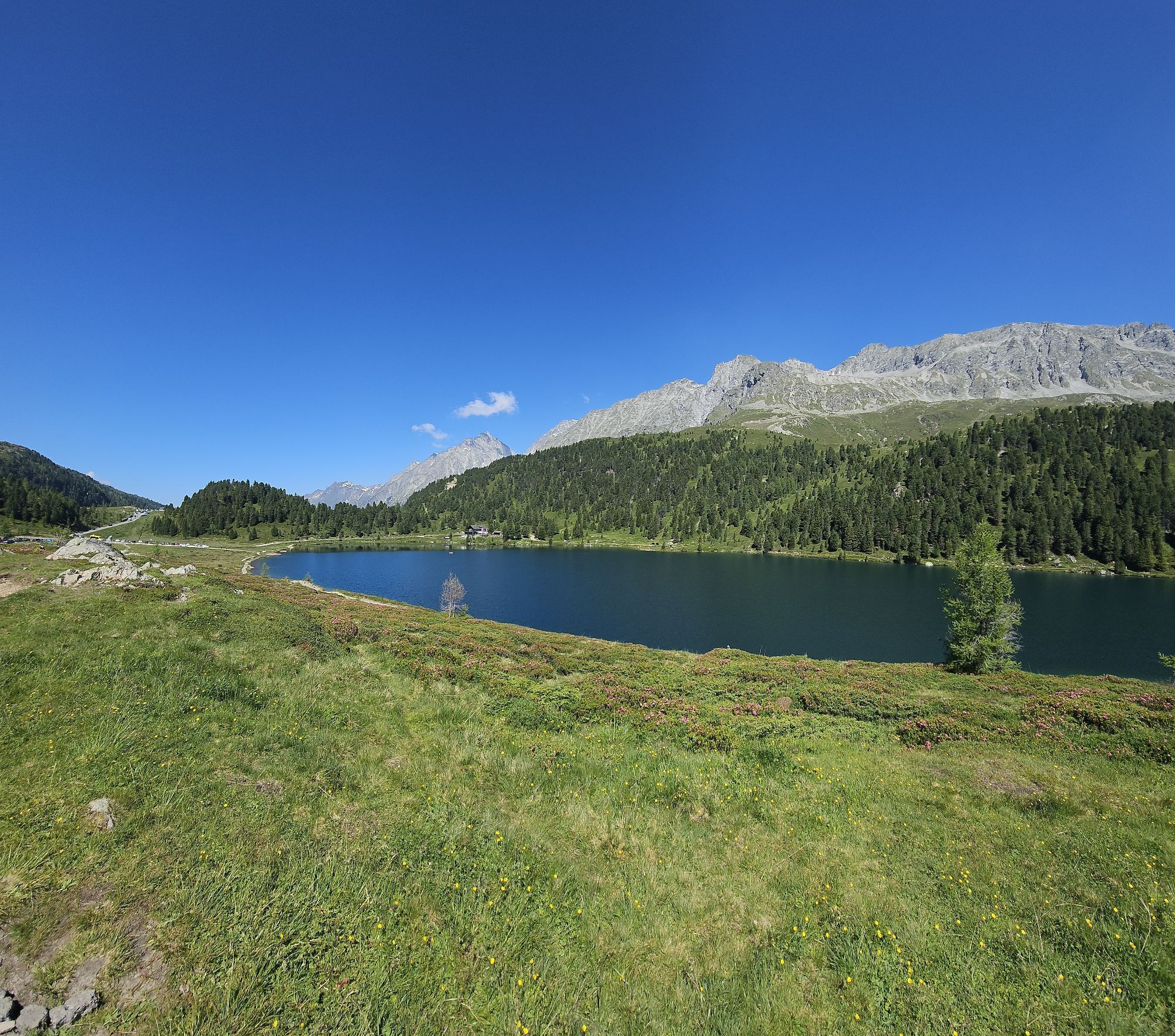
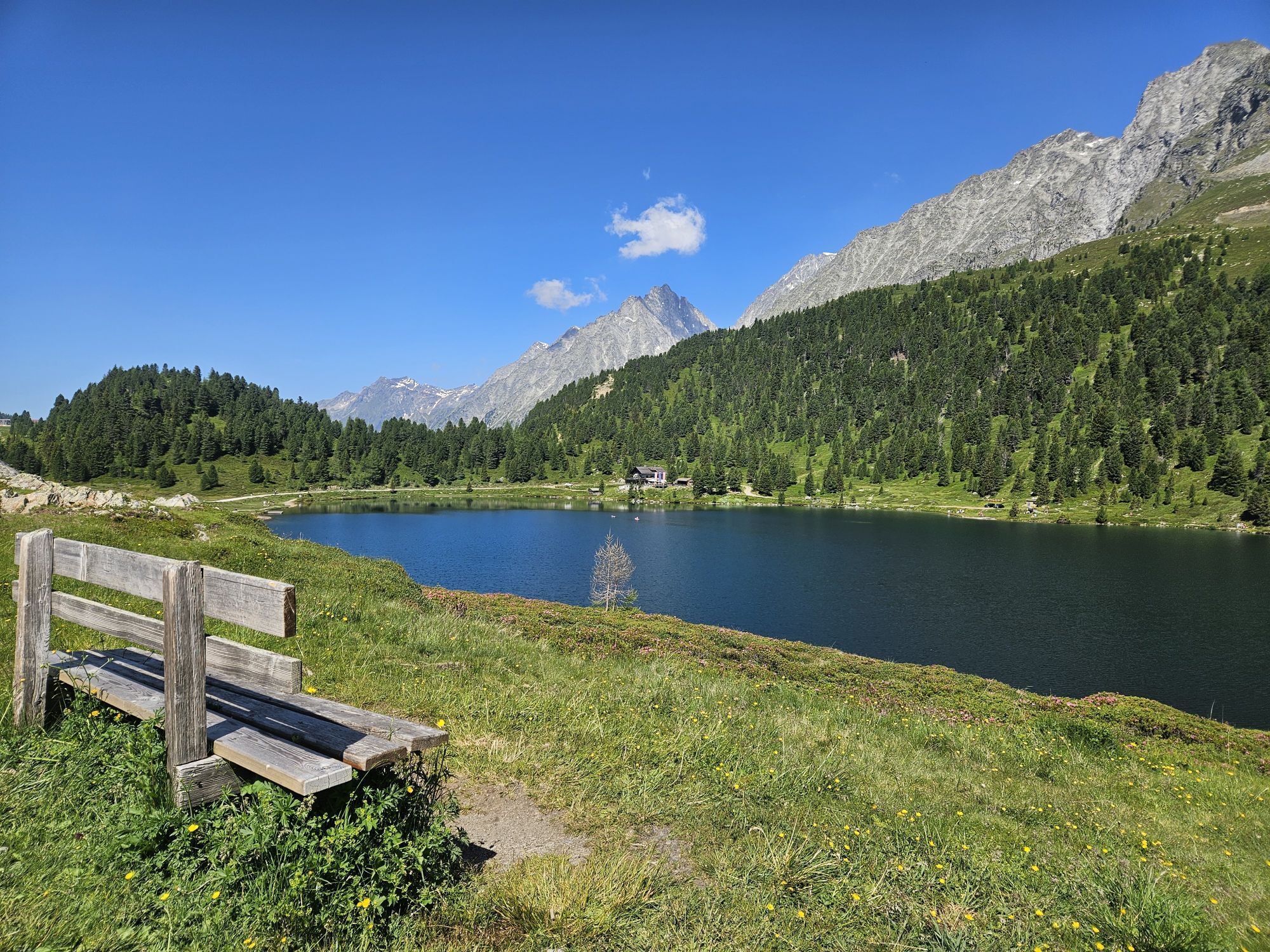


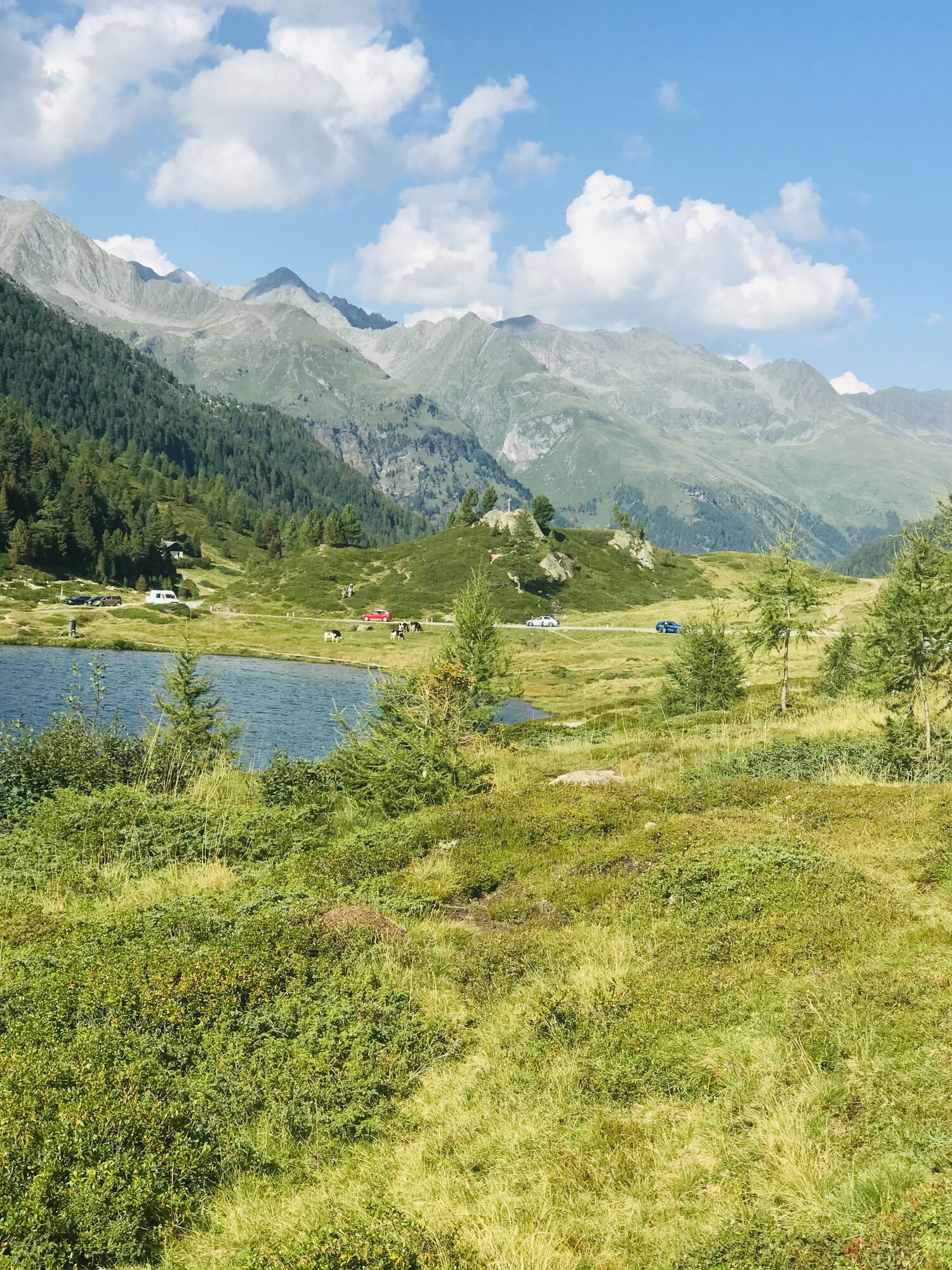
The Staller Sattel is the junction area Osttirol’s Defereggental into South Tirol’s Antholzer Tal and is closed to traffic in the depths of winter. However the ascent to the 2000 metre pass is cleared,...
Opis
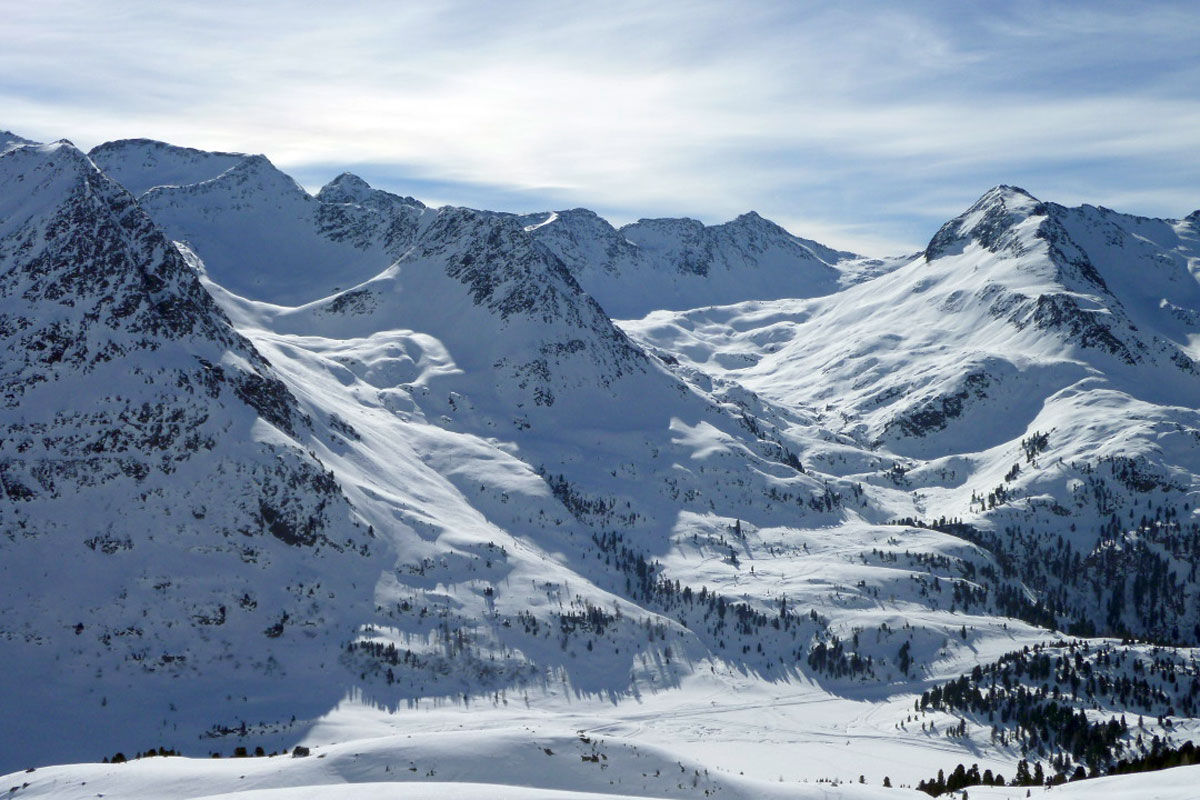
The Staller Sattel is the junction area Osttirol’s Defereggental into South Tirol’s Antholzer Tal and is closed to traffic in the depths of winter. However the ascent to the 2000 metre pass is cleared, which means that this wonderful ski tour area is opened up to leisure-oriented skiers and is snow-assured right through to spring. With the Nordstau weather system, ski tours on the Sattel are prone to be windy. Anyone who is not a fan of crusted snow would be better to head for the more southerly area. The parallel to the ‘Kunke’ is the Hinterbergkofel (2727 m). From the car park we follow the closed road (slope) to Obersee and bear left shortly before the border crossing area into Weißenbachtal. Initially the ski track proceeds through the light forest and slowly gains altitude. Hairpin bends now take us through open terrain, while at the head of the valley our gaze is already drawn to the Halsscharte. It is the crossing area into Gsieser Tal, yet we disregard it. We branch off beneath the wind gap in a south-westerly direction to the destination of our tour and head for the summit via the west ridge which is often windswept. Descent along the ascent track.
Additional ski tour tips can be obtained in the ski tour guides by Thomas Mariacher. These are available here: http://www.grafikzloebl.at/verlag/buecher/
Trasa
Lackenstüberl
(1 983 m)
Reštaurácia
0,0 km
Hinterbergkofel - Monte di Dentro
(2 727 m)
Summit
3,9 km
Trasa
Ski tour Hinterbergkofel 2.726m
stredná
Skitour
4,03
km
Lackenstüberl
(1 983 m)
Reštaurácia
0,0 km
Hinterbergkofel - Monte di Dentro
(2 727 m)
Summit
3,9 km


Informácie o príchode
Verejná doprava
St. Jakob i.D. Staller Sattel
Parkovanie
Parkplatz Alpengasthaus Obersee
Zatiaľ žiadne recenzie
Získajte prehľad
Vždy naživo na mieste s viac ako 9 500 webovými kamerami. bergfex Ako používateľ Pro si teraz môžete pozrieť príslušné webové kamery pre mnohé zájazdy v aplikácii zájazdy z. Môžete si tak priamo prezerať aktuálne podmienky.
Obľúbené výlety v okolí
-
4,6
Mountain hike to Mountain „Lutterkopf and Durakopf (2145/2275m)“
strednáHorská turistika 11,8 km -
4,8
Antholzer See - Steinzger Alm
strednáTuristika 7,48 km -
4,8
Stoden - Clarahütte
strednáTuristika 7,12 km -
4,7
Rund um den Antholzer See
svetloTuristika 4,27 km -
4,9
Oberhausalm - Jagdhaushütte
svetloTuristika 14,0 km -
4,6
Rote Wand
strednáVysoké turné 12,0 km -
4,8
Von Kalkstein auf das Toblacher Pfannhorn (2.663 m) und Marchkinkele
strednáTuristika 14,2 km -
4,7
Wiesbauerspitze 2.767 m
strednáTuristika 9,66 km -
4,3
Seespitze
strednáTuristika 13,7 km -
5,0
Trojertal, Hintere Trojeralm
svetloTuristika 8,97 km
Turistika a stopovanie

Viac ako 550.000 návrhov výletov, podrobné mapy a intuitívny plánovač trás robia z aplikácie povinnú výbavu pre všetkých nadšencov prírody.

Nenechajte si ujsť ponuky a inšpiráciu na ďalšiu dovolenku
Prihlásiť sa k odberu noviniek
Chyba
Vyskytla sa chyba. Prosím, skúste to znova.
Ďakujeme za vašu registráciu
Vaša e-mailová adresa bol pridaný do poštového zoznamu.
Zájazdy po celej Európe
Rakúsko
Švajčiarsko
Nemecko
Taliansko
Slovinsko
Francúzsko
Holandsko
Belgicko
Poľsko
Lichtenštajnsko
Česko
Slovensko
španielsko
Hrvaška
Bosna a Hercegovina
Luxembursko
Andorra
Portugalsko
Island
Spojené kráľovstvo
Írsko
Grécko
Albánsko
Severné Macedónsko
Malta
Nórsko
Čierna Hora
Moldavsko
Kosovo
Maďarsko
San Maríno
Rumunsko
Estónsko
Lotyšsko
Bielorusko
Cyprus
Litva
Srbsko
Bulharsko
Monako
Dánsko
Švédsko
Fínsko





