
Ski tour Debantgrat 3.052m
ťažké
Získajte túto prehliadku v mobilnom telefóne
Ski tour Debantgrat 3.052m
ťažké
Skitour
15,74
km
Naskenujte kód QR a spustite navigáciu v aplikácii bergfex


Turistika a stopovanie





Ski tour Debantgrat 3.052m
ťažké
Vzdialenosť
15,7
km
Trvanie
07:30
h
Ascent
1 829
hm
Hladina mora
1 163 -
3 016
m

Naviguj sa počas prehliadky v aplikácii
Nainštalujte si aplikáciu zadarmo a sledujte trasu vďaka GPS navigácii a sledovaniu polohy.
Využite službu „ bergfex “ už teraz v aplikácii
Naskenuj QR kód pomocou fotoaparátu
Ak máte aplikáciu nainštalovanú, obsah sa otvorí priamo. Ak aplikáciu ešte nemáte, budete presmerovaní na stránku, kde si ju môžete bezplatne stiahnuť.
Stiahnutie skladby
Ski tour Debantgrat 3.052m
ťažké
Skitour
15,74
km
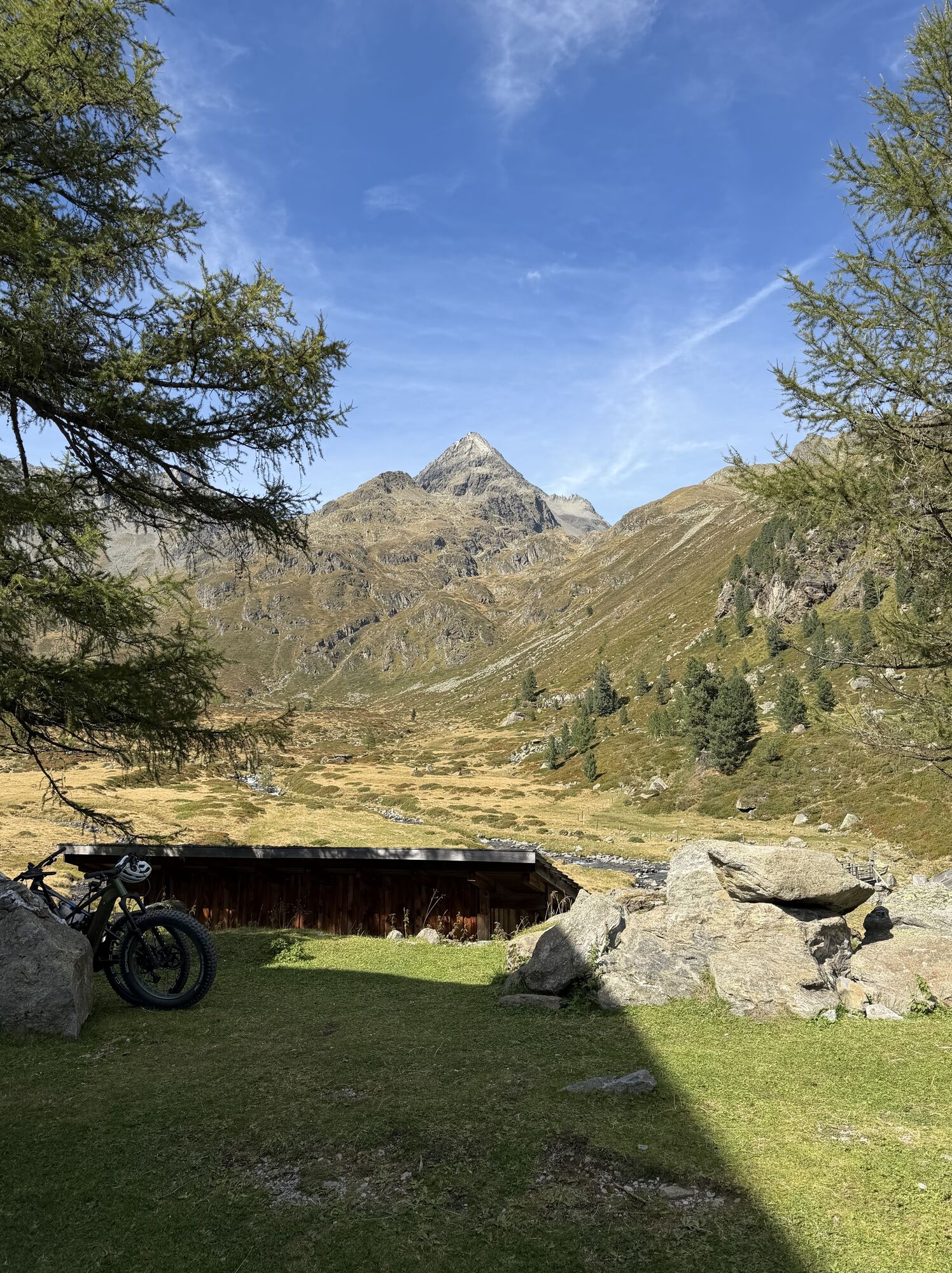
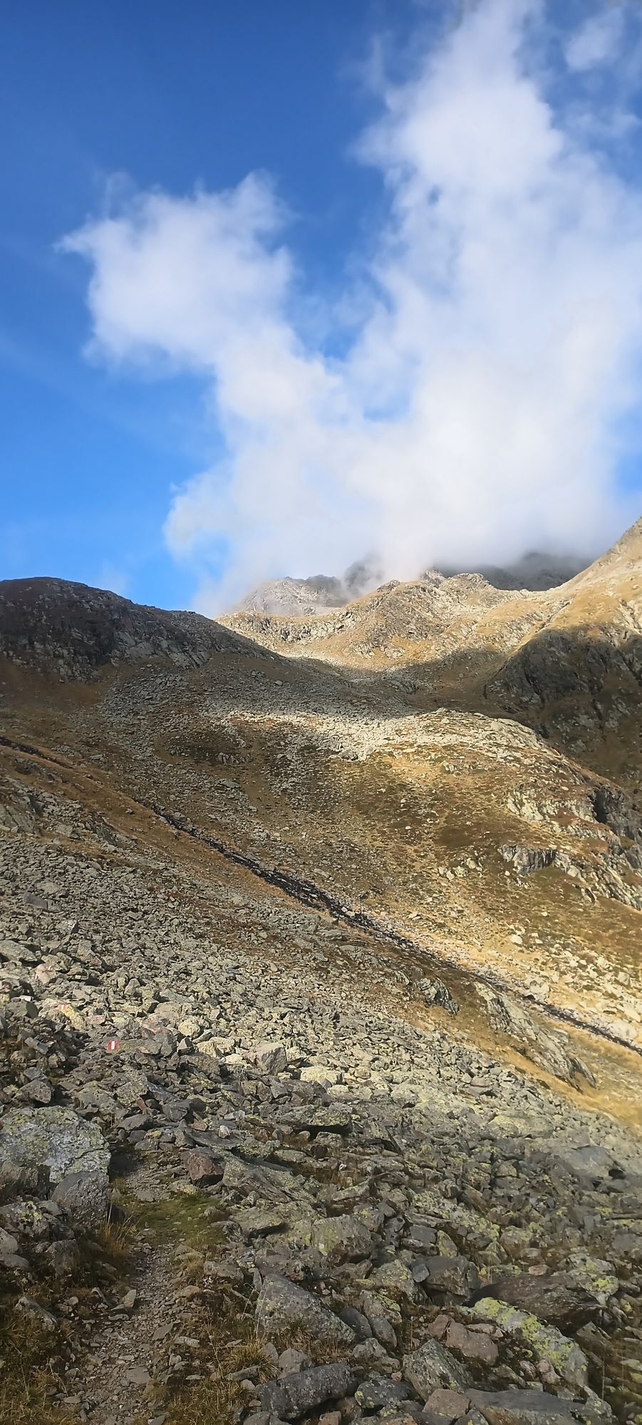
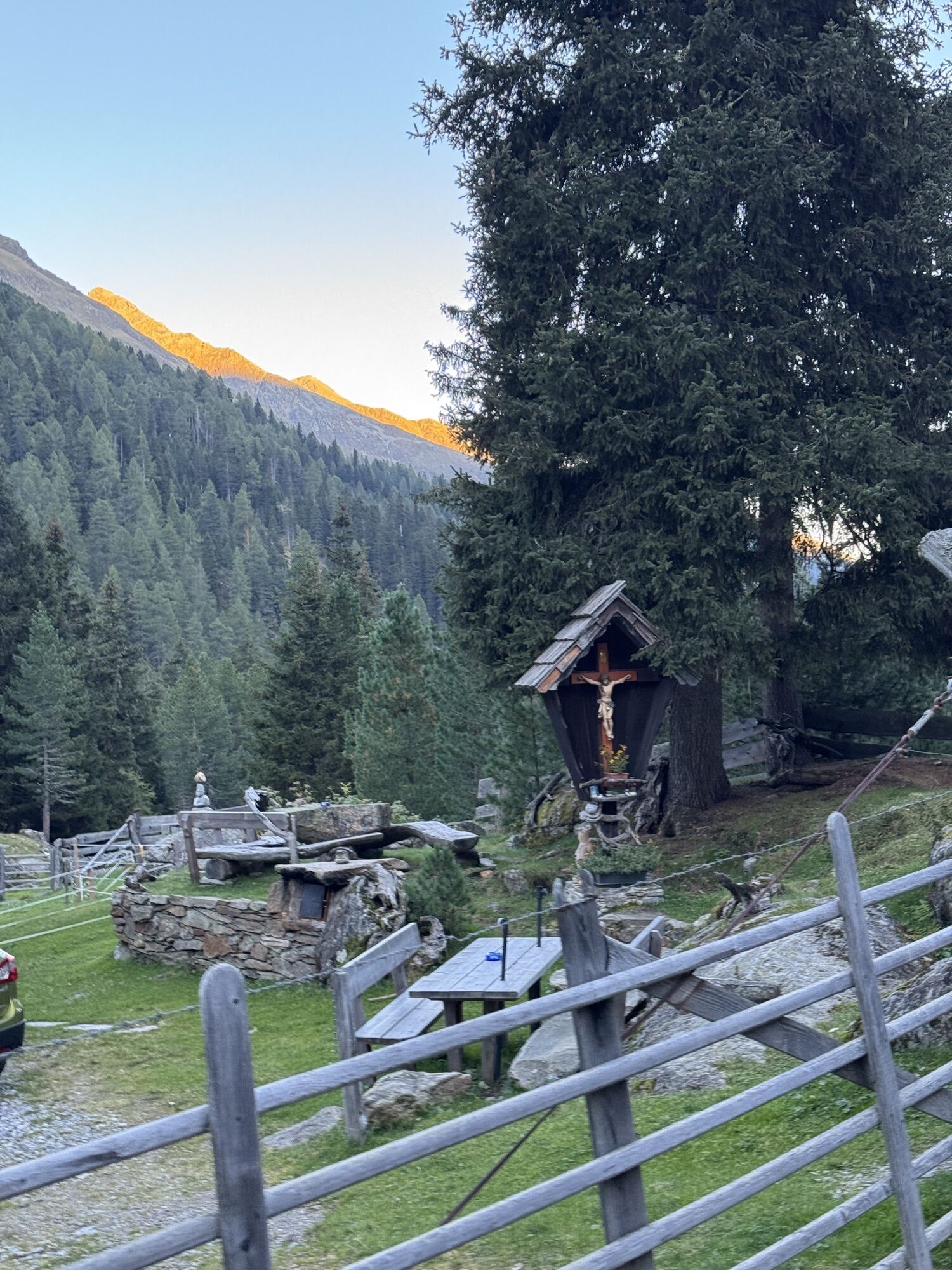
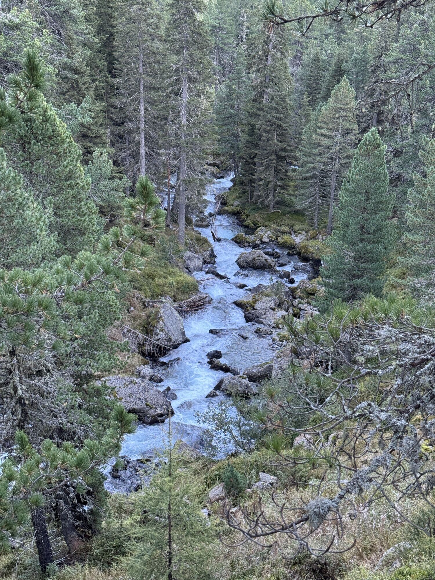
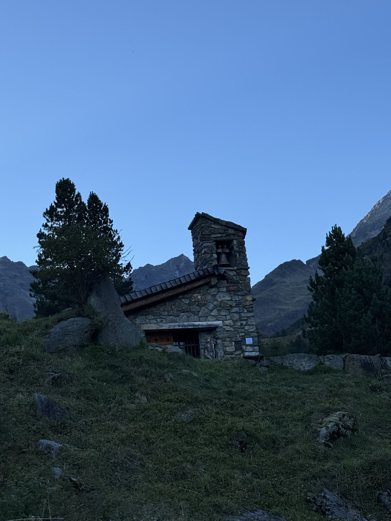
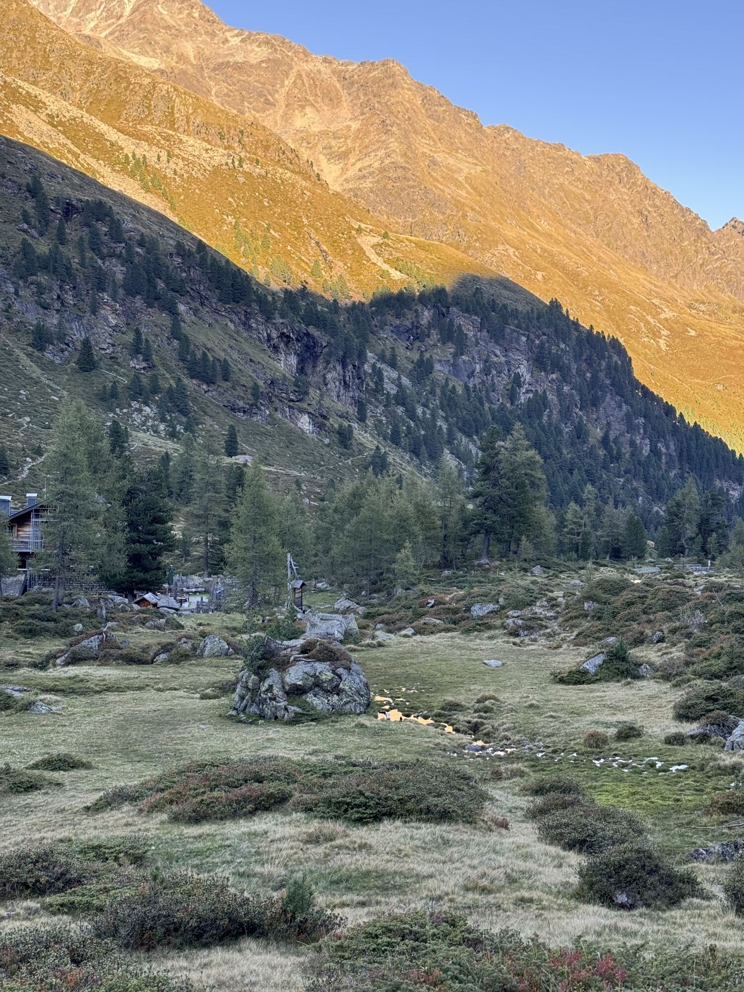
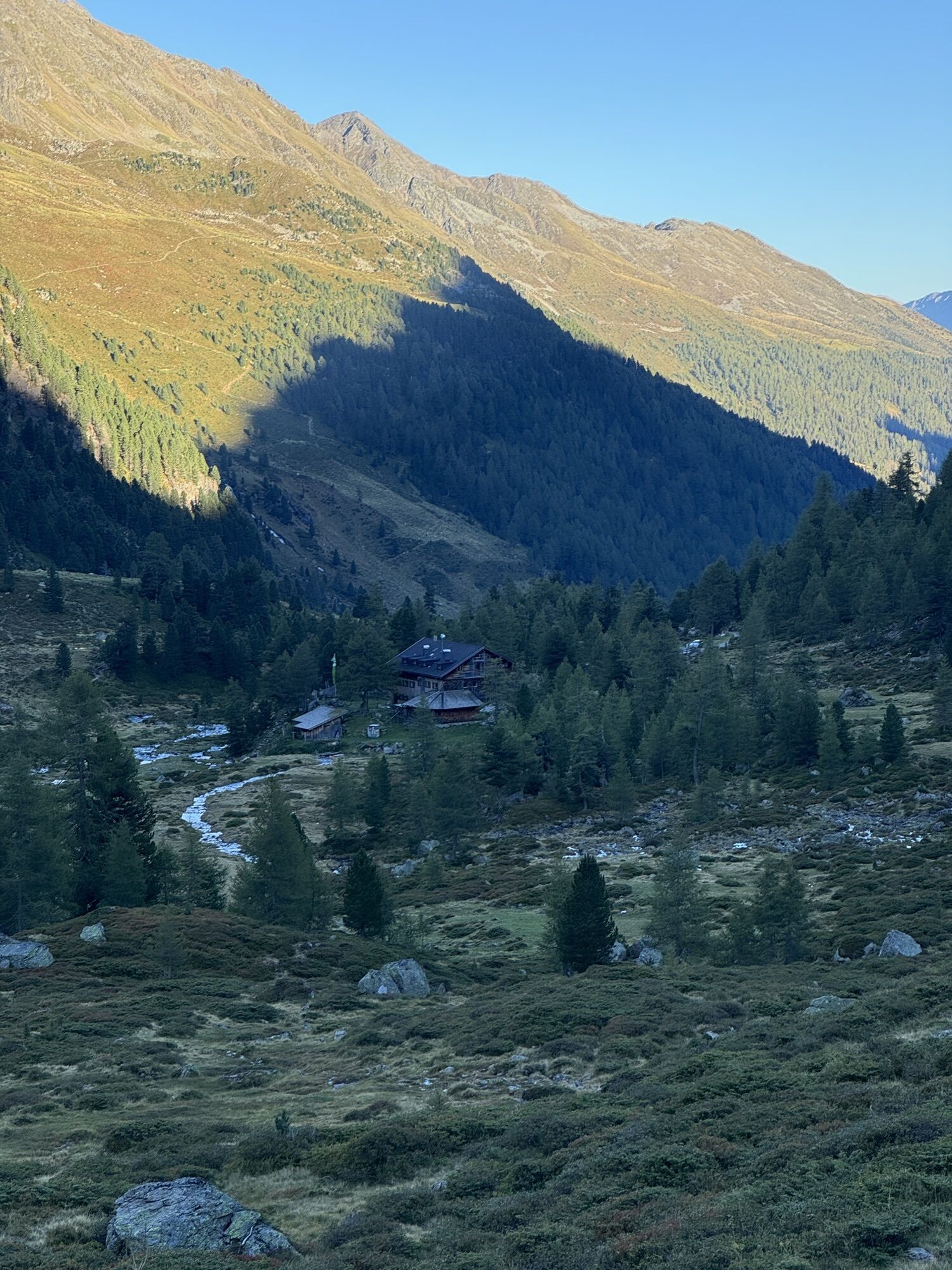
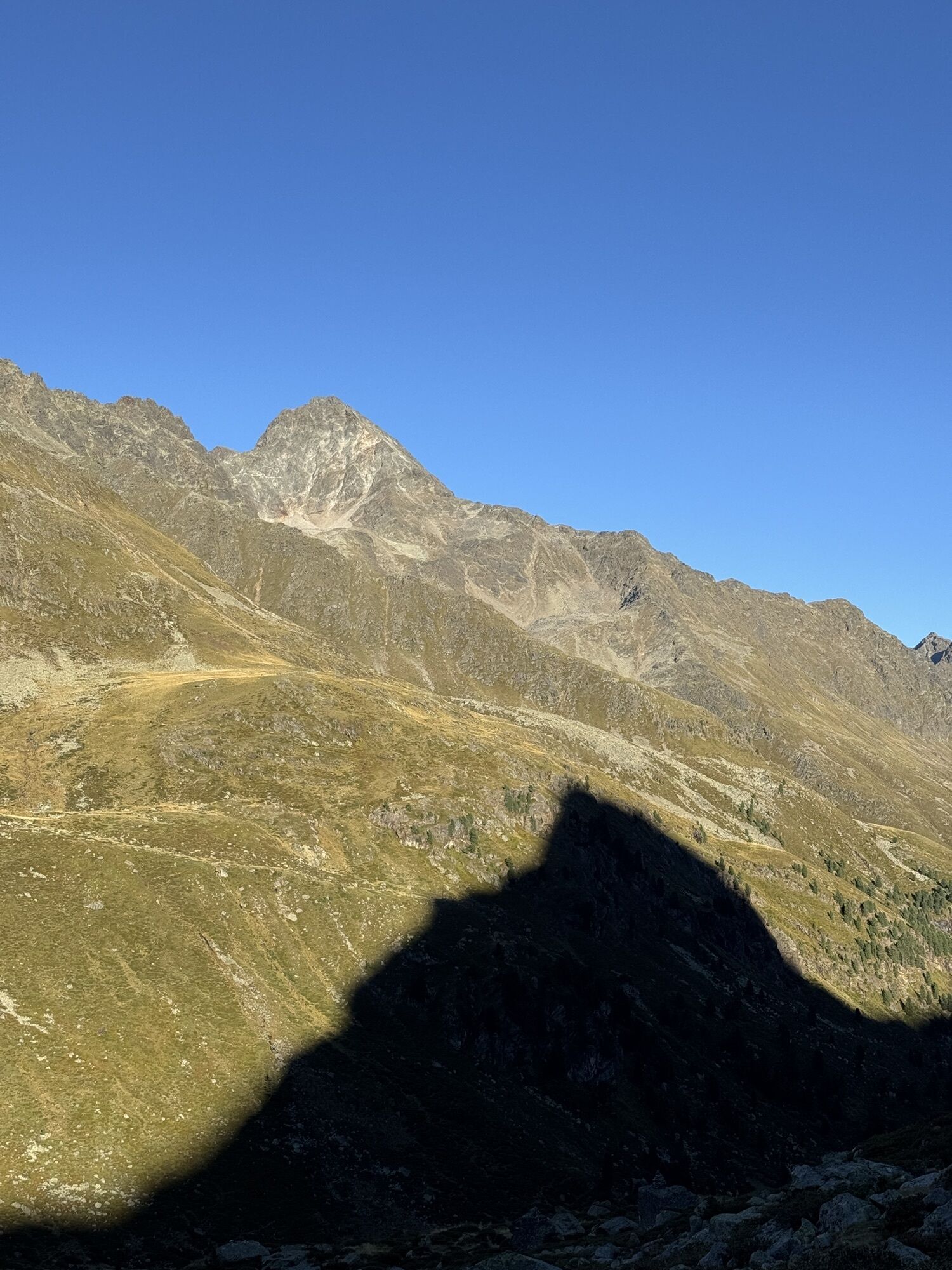
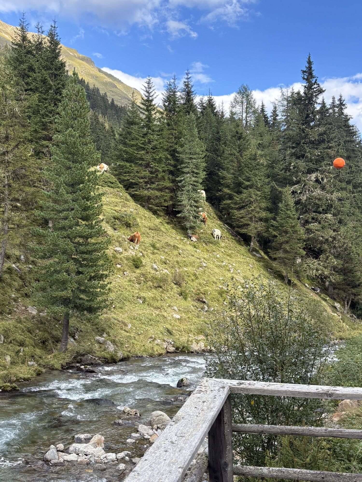
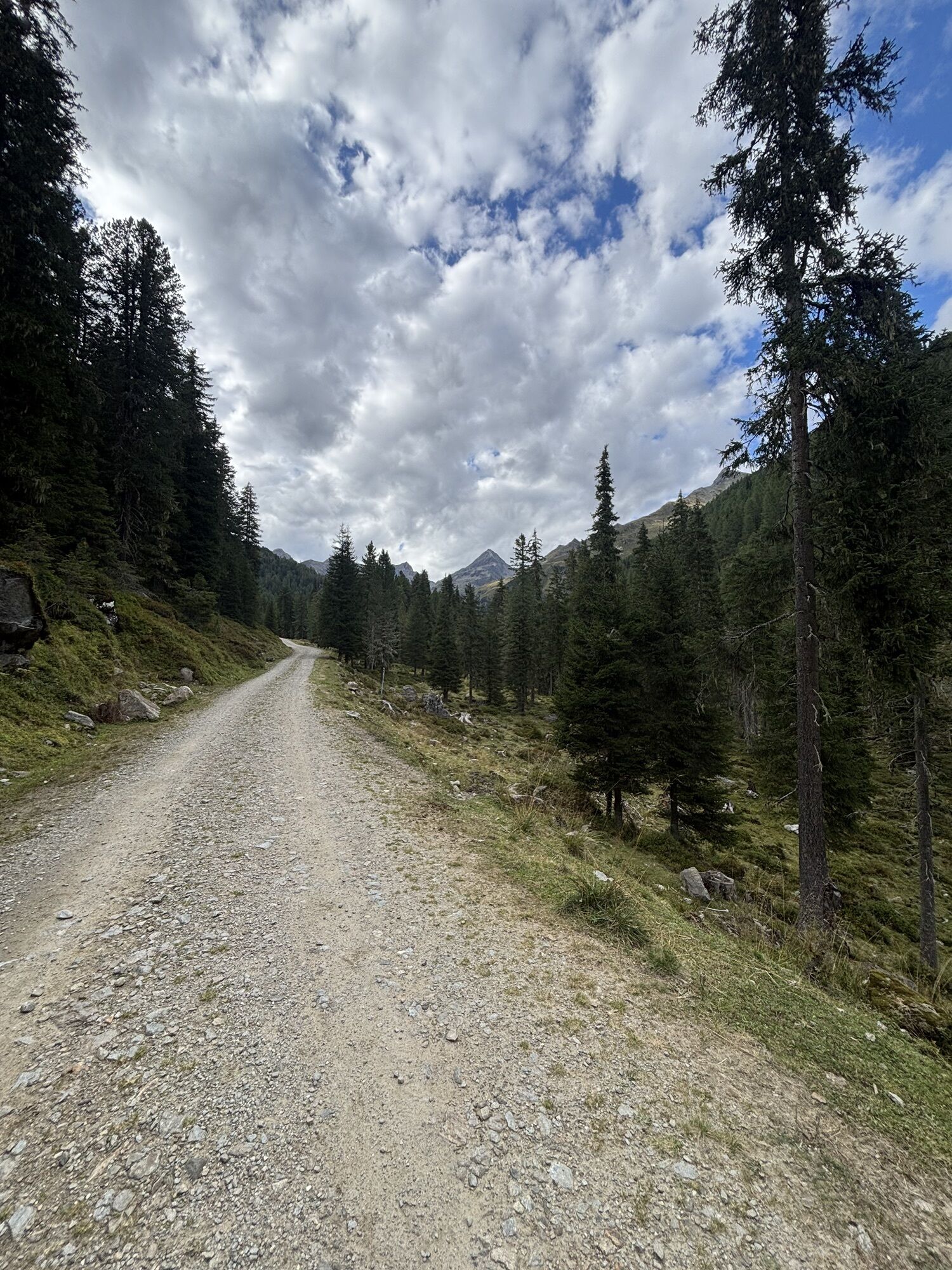
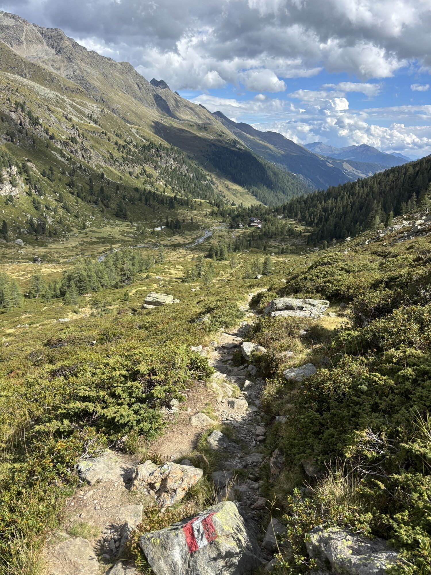
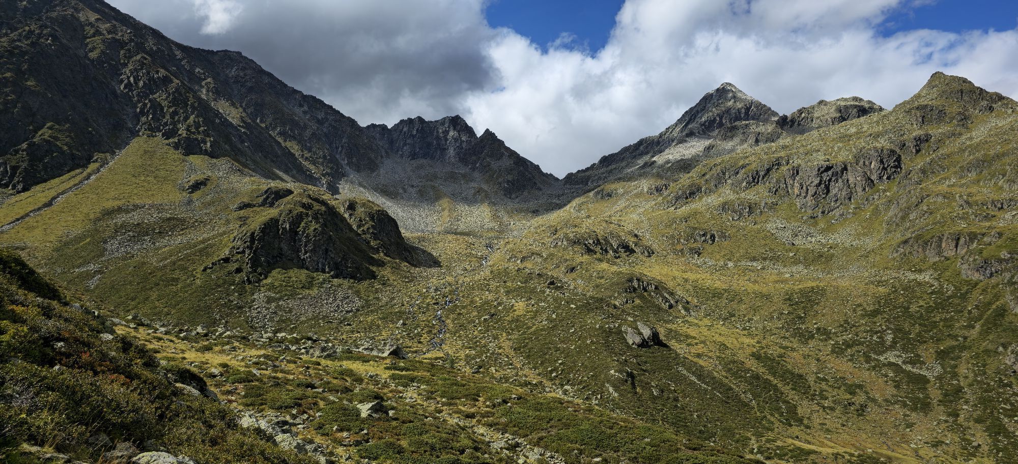
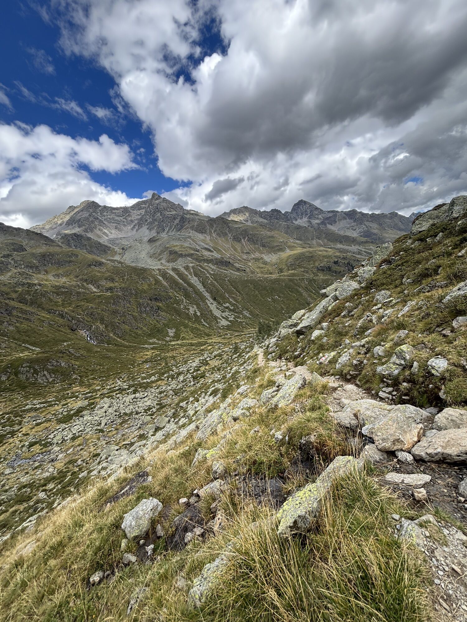
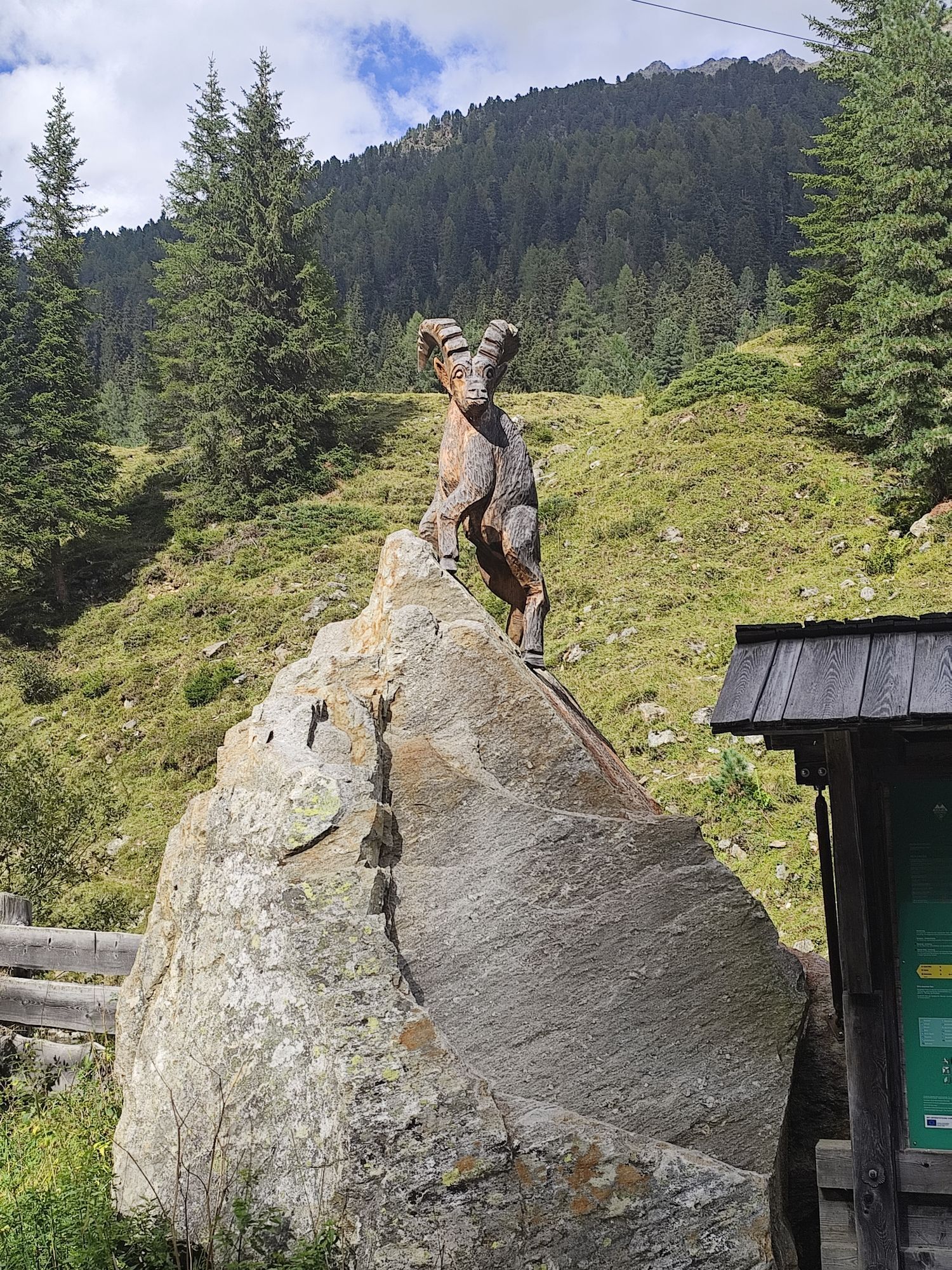
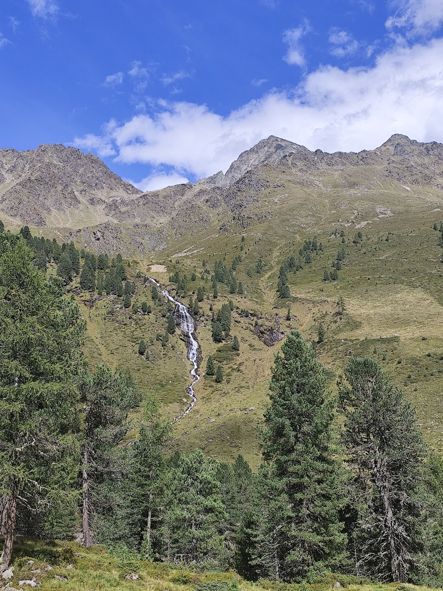
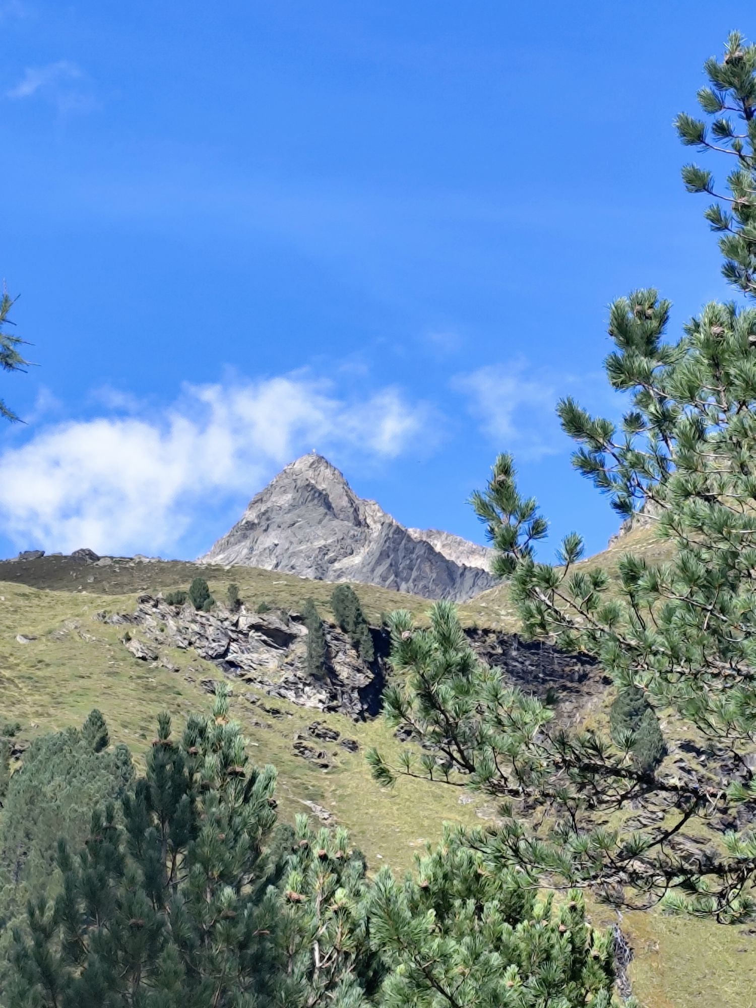
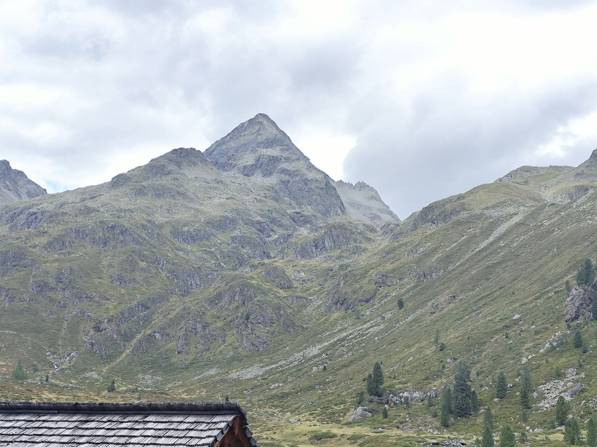
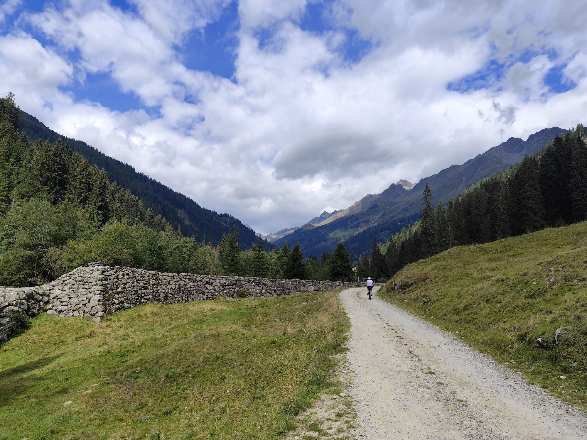
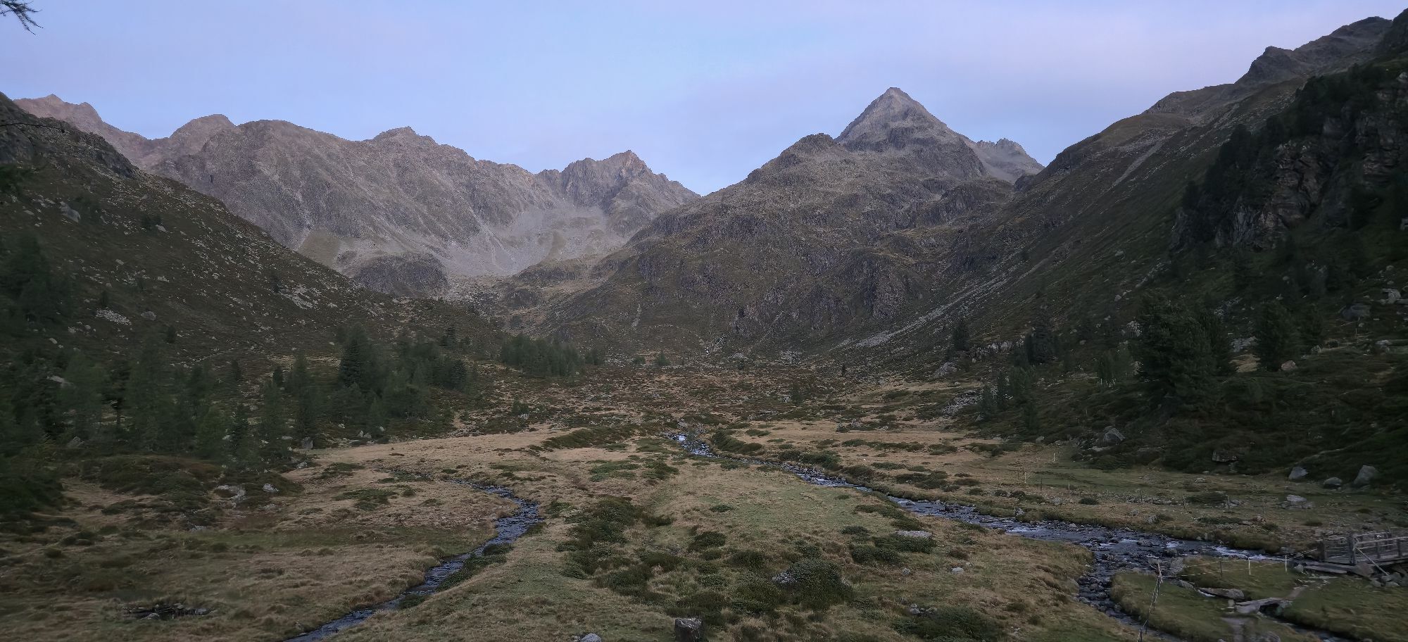
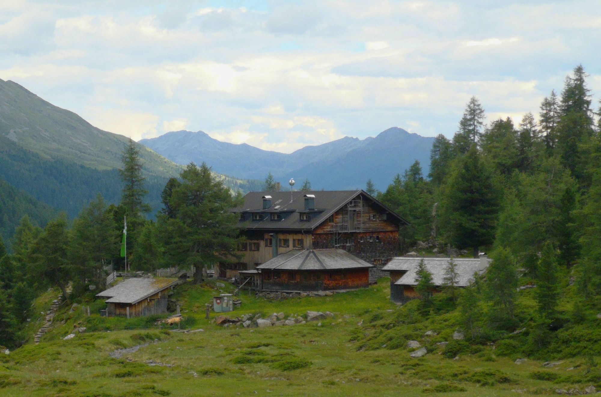
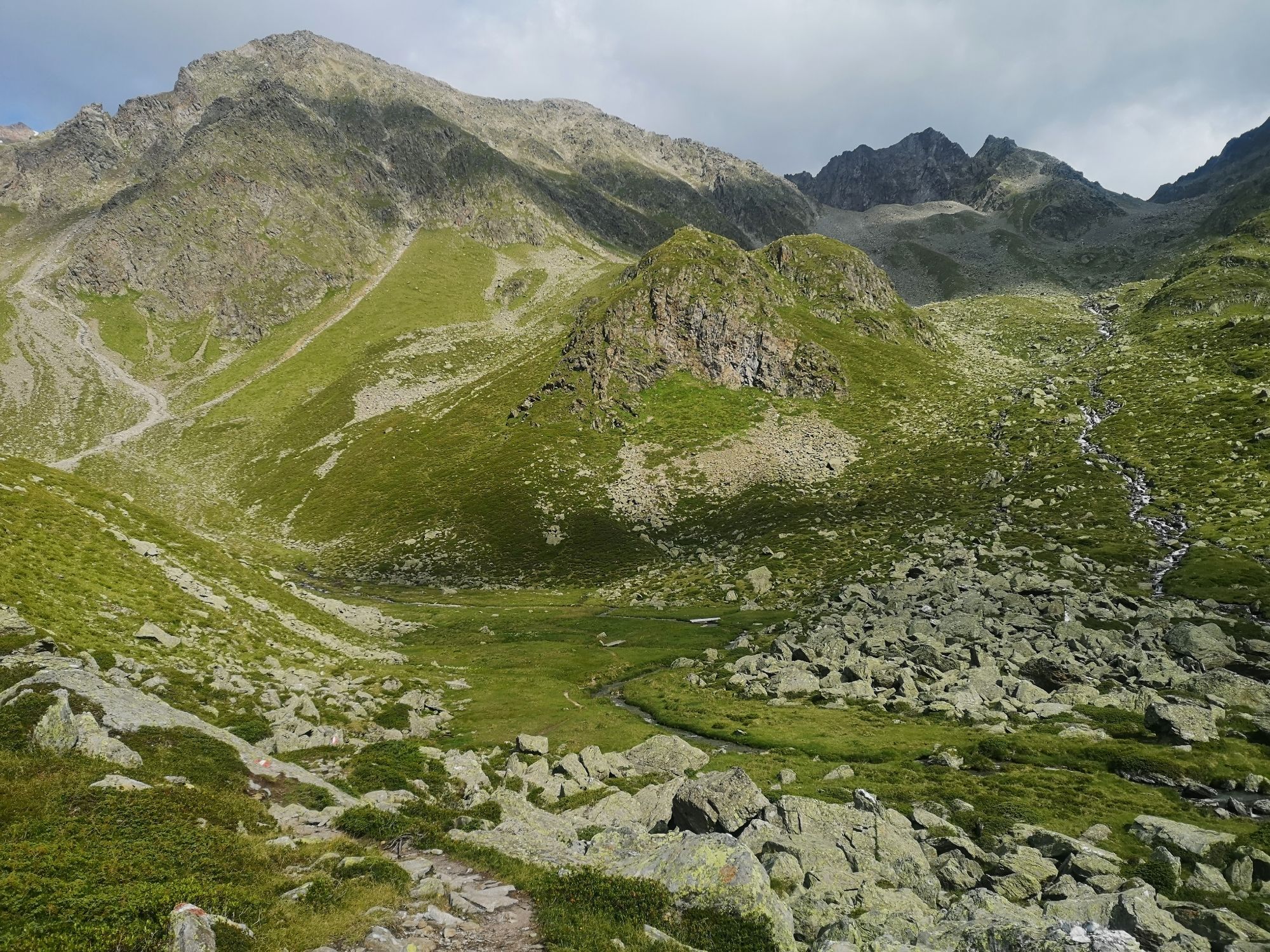
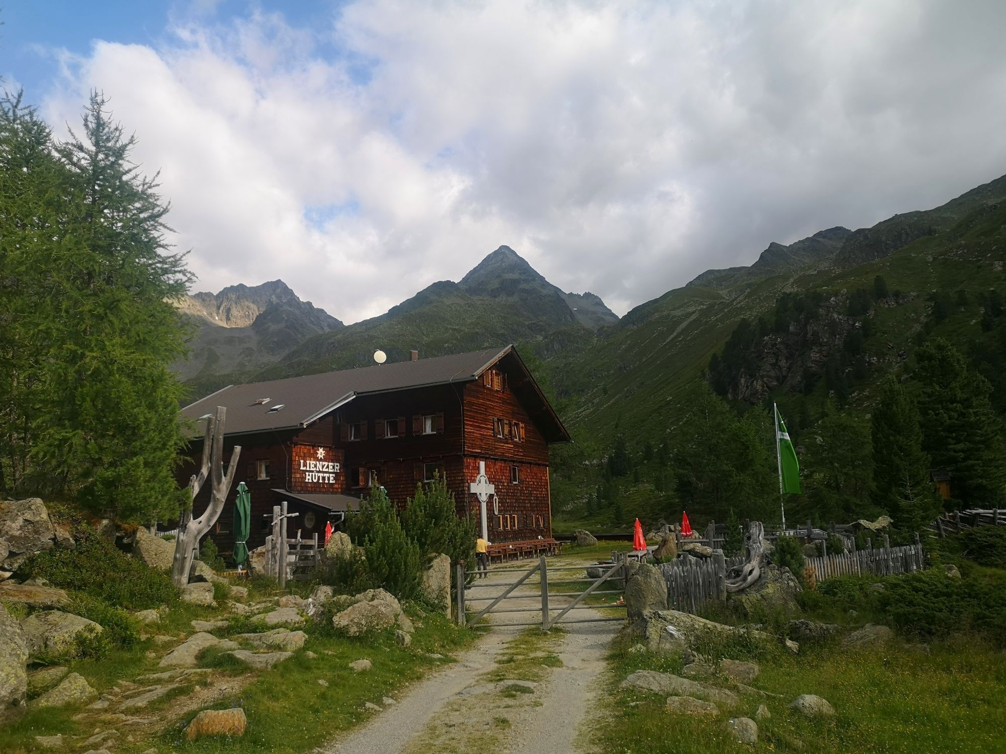
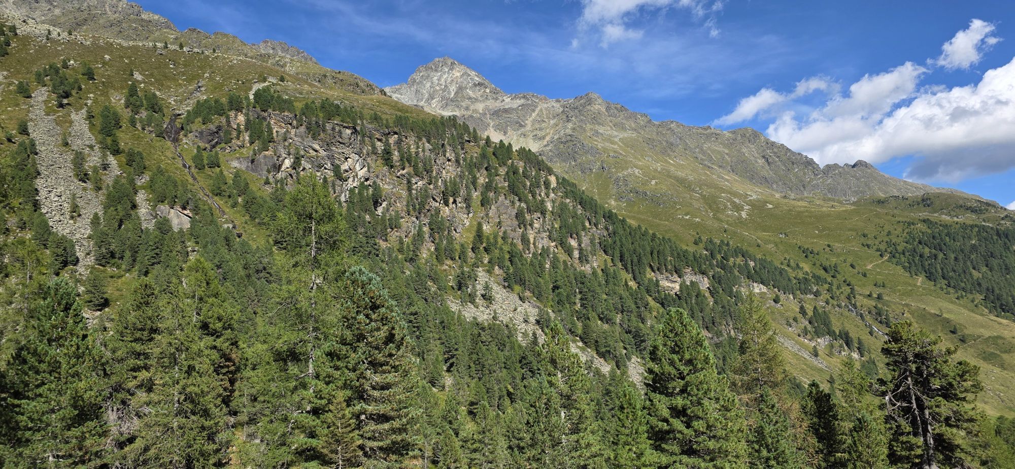

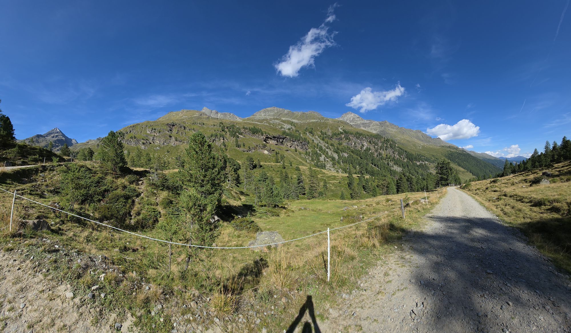

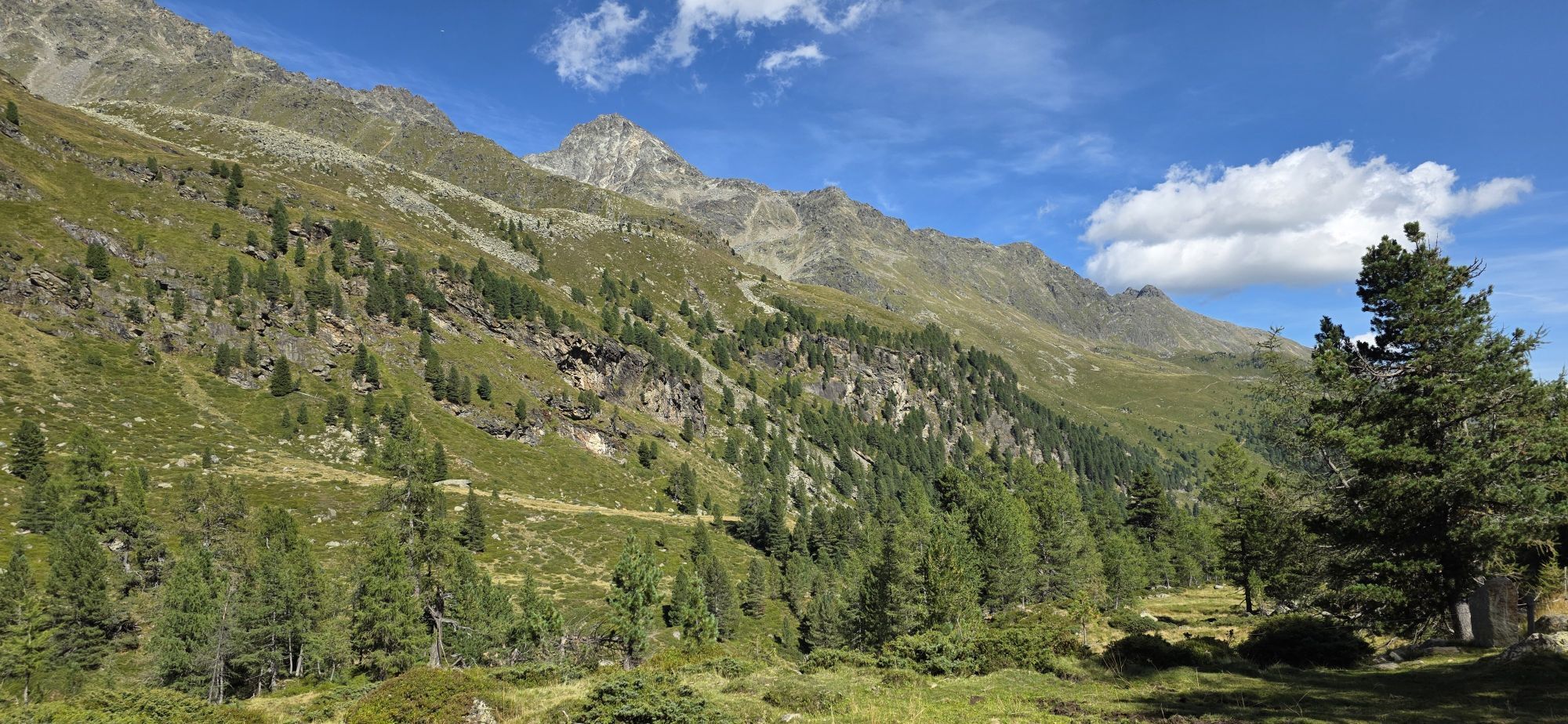
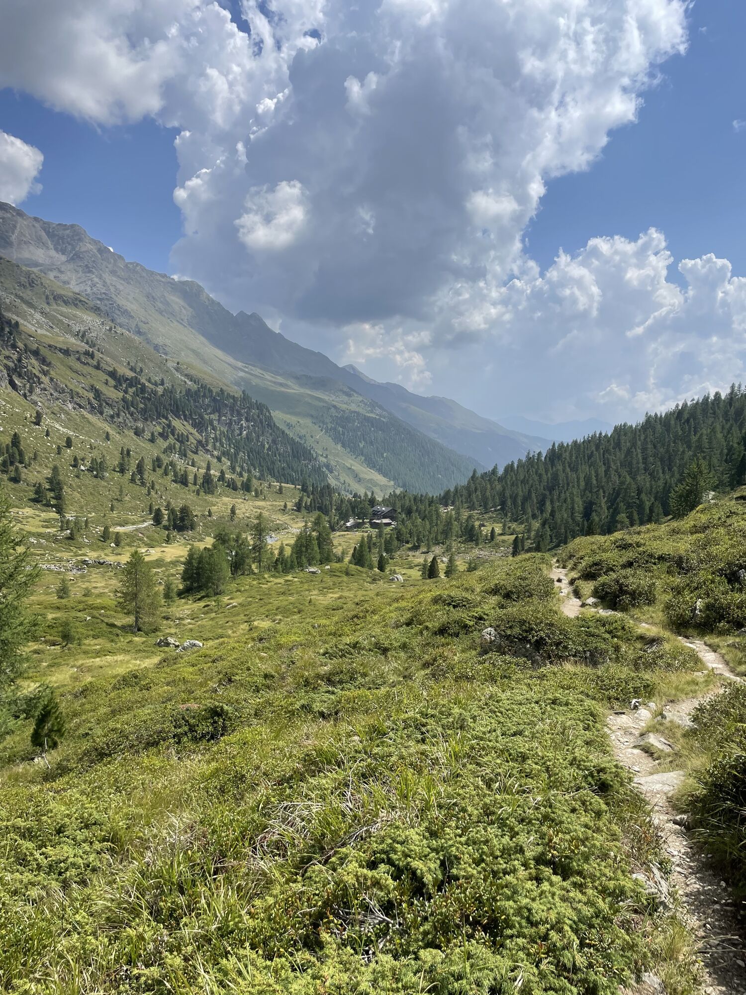
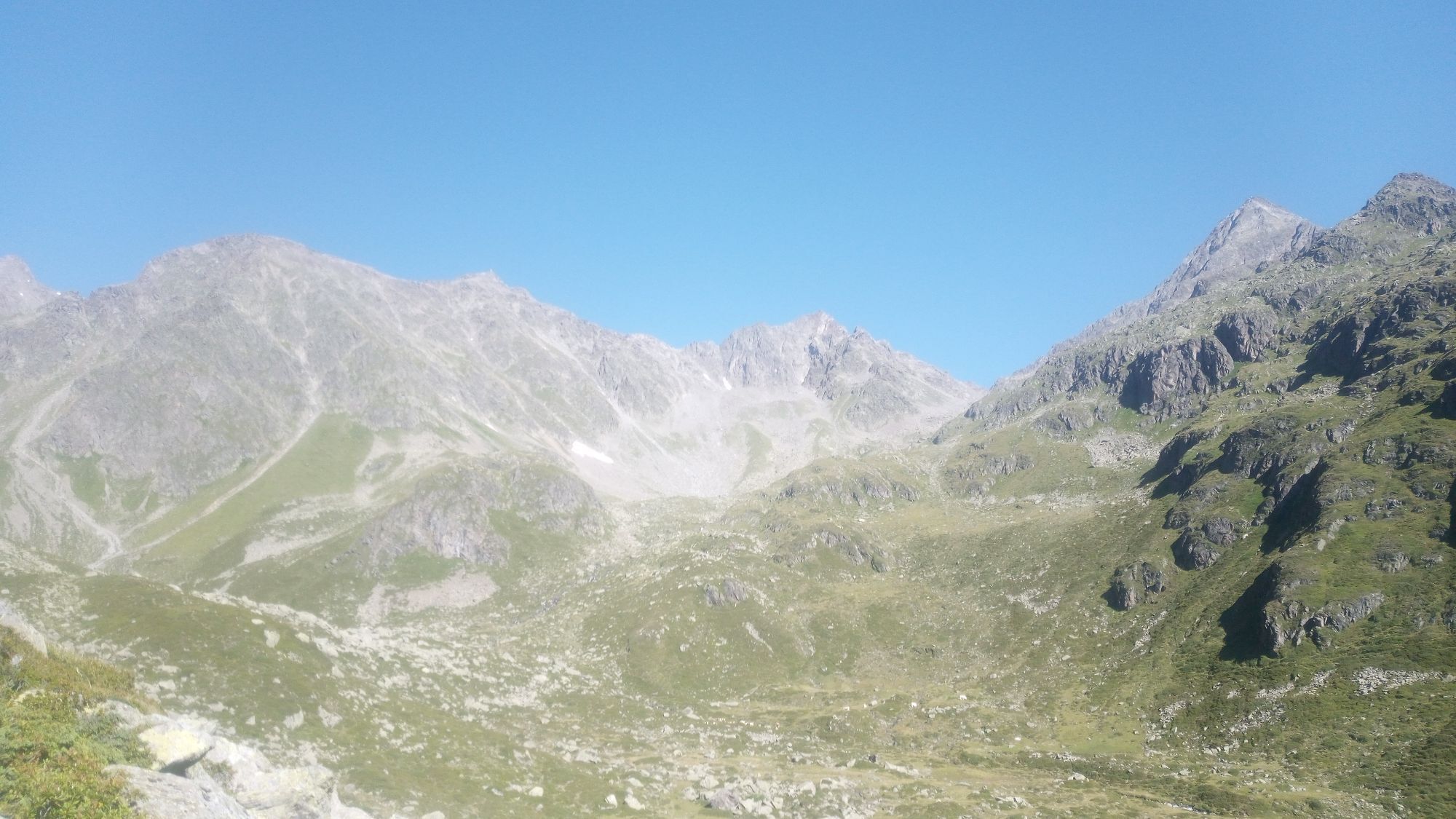
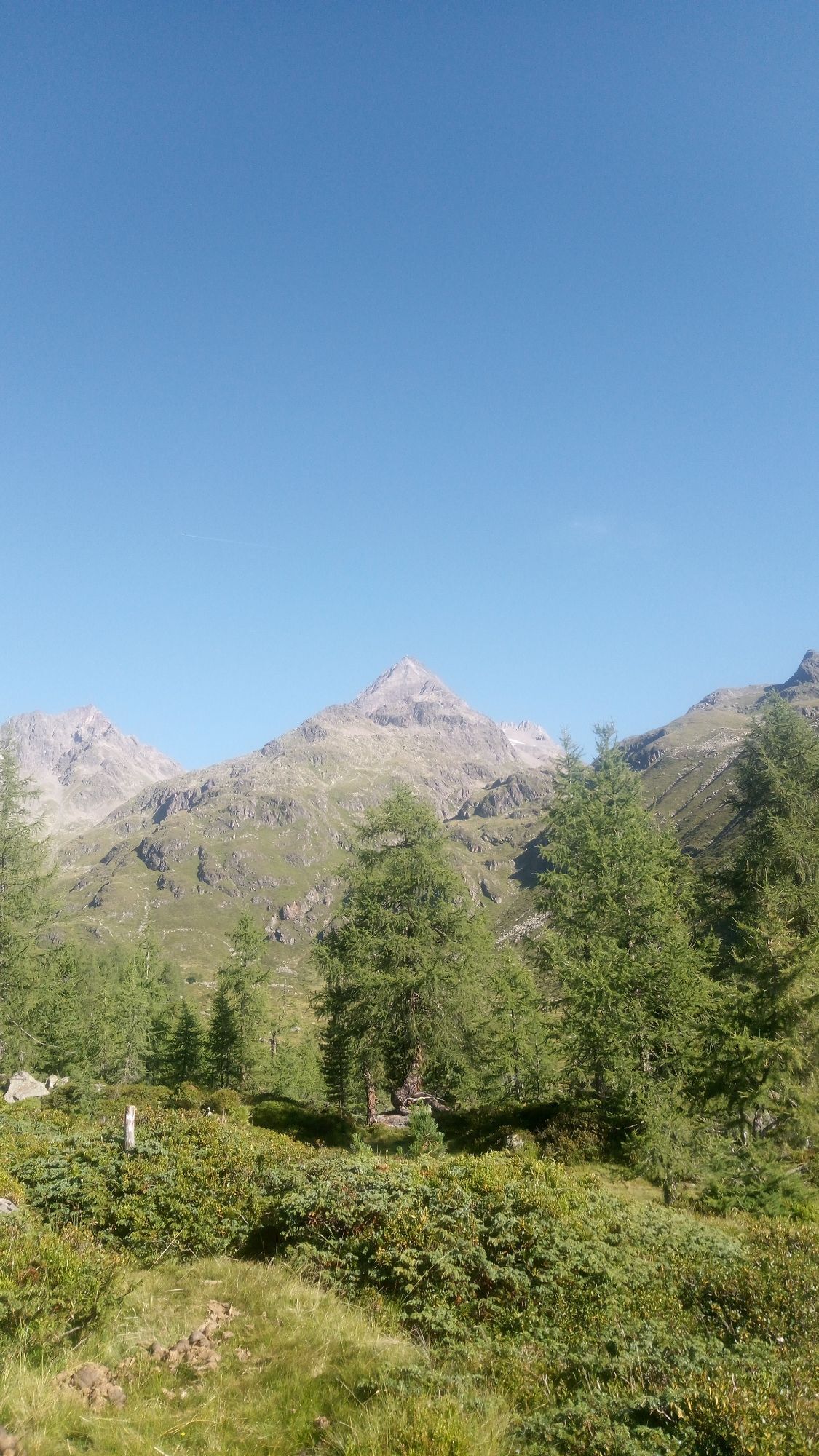
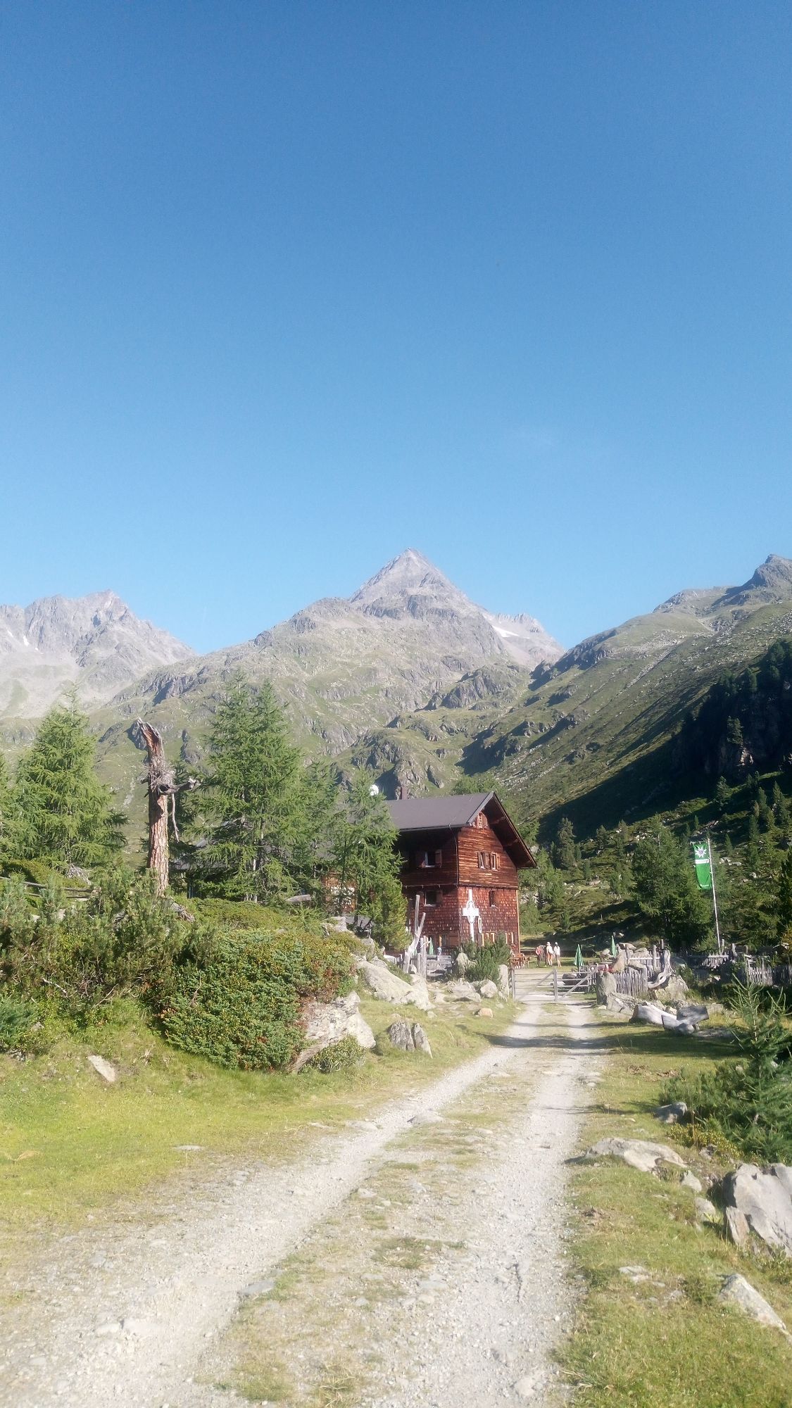
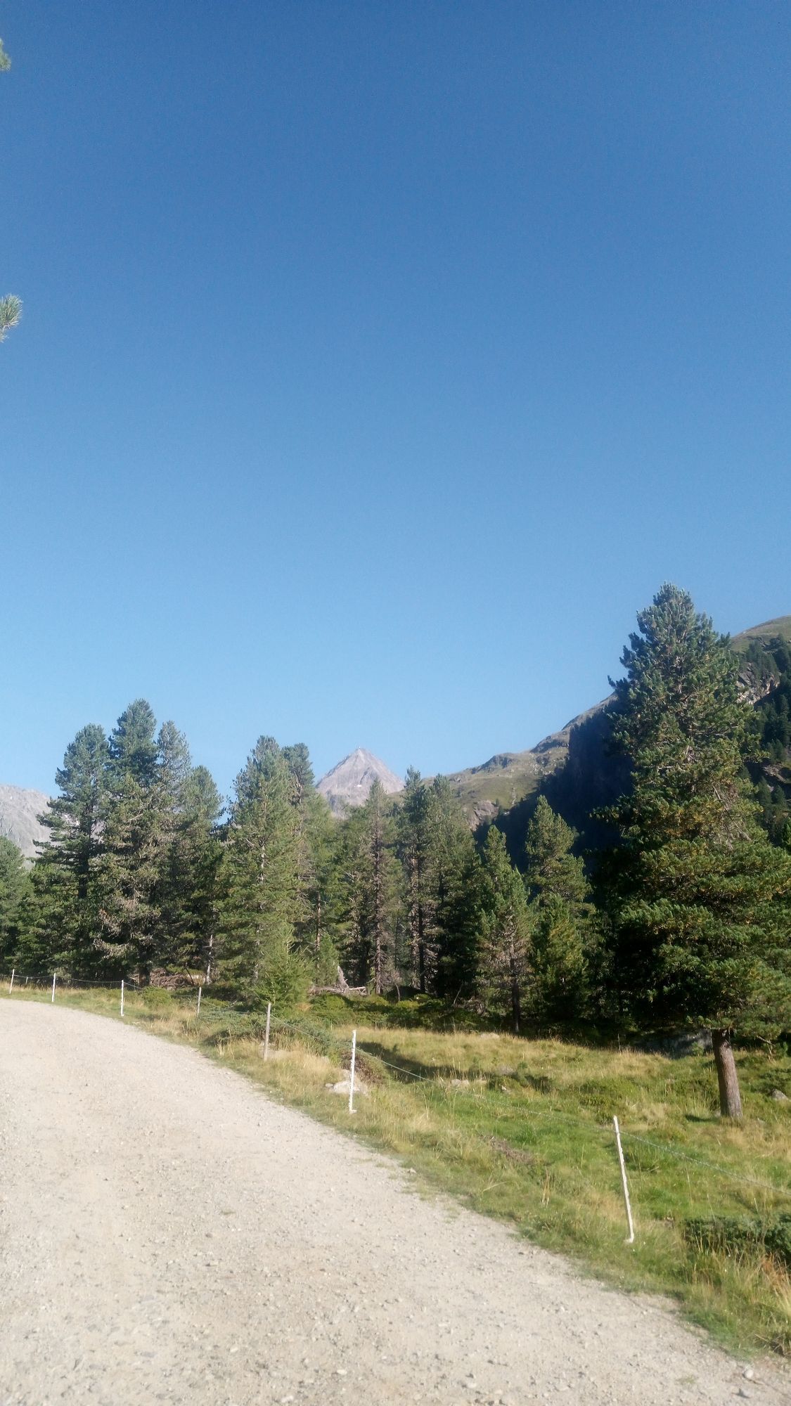
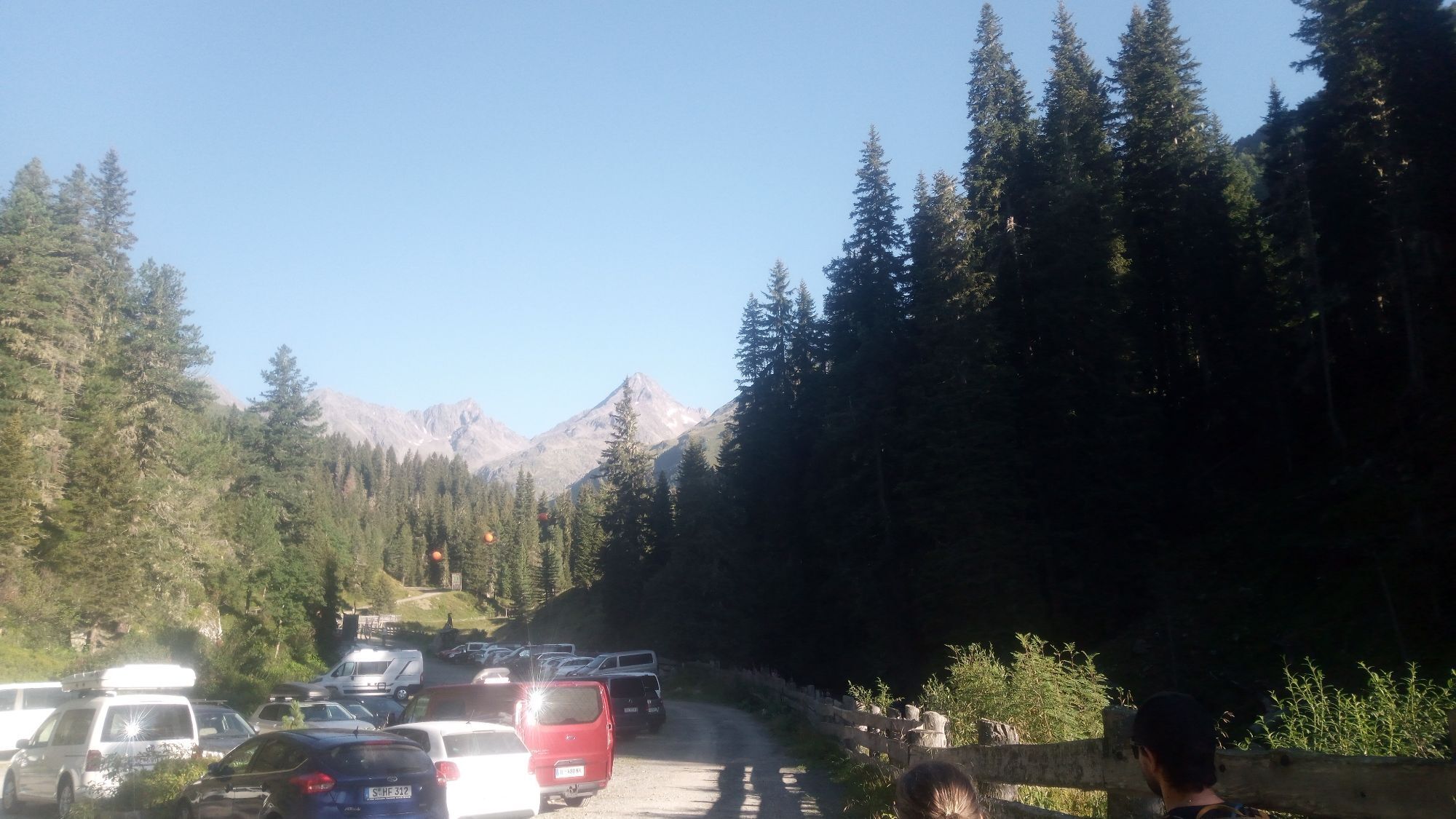
Tackling the long drawn-out summit of the Debantgrat, also known as the Viehkofel, is, in mountain ski tour terms, the reserve of the fastidious walker. As a north-eastern neighbour of the Hochschober,...
Opis
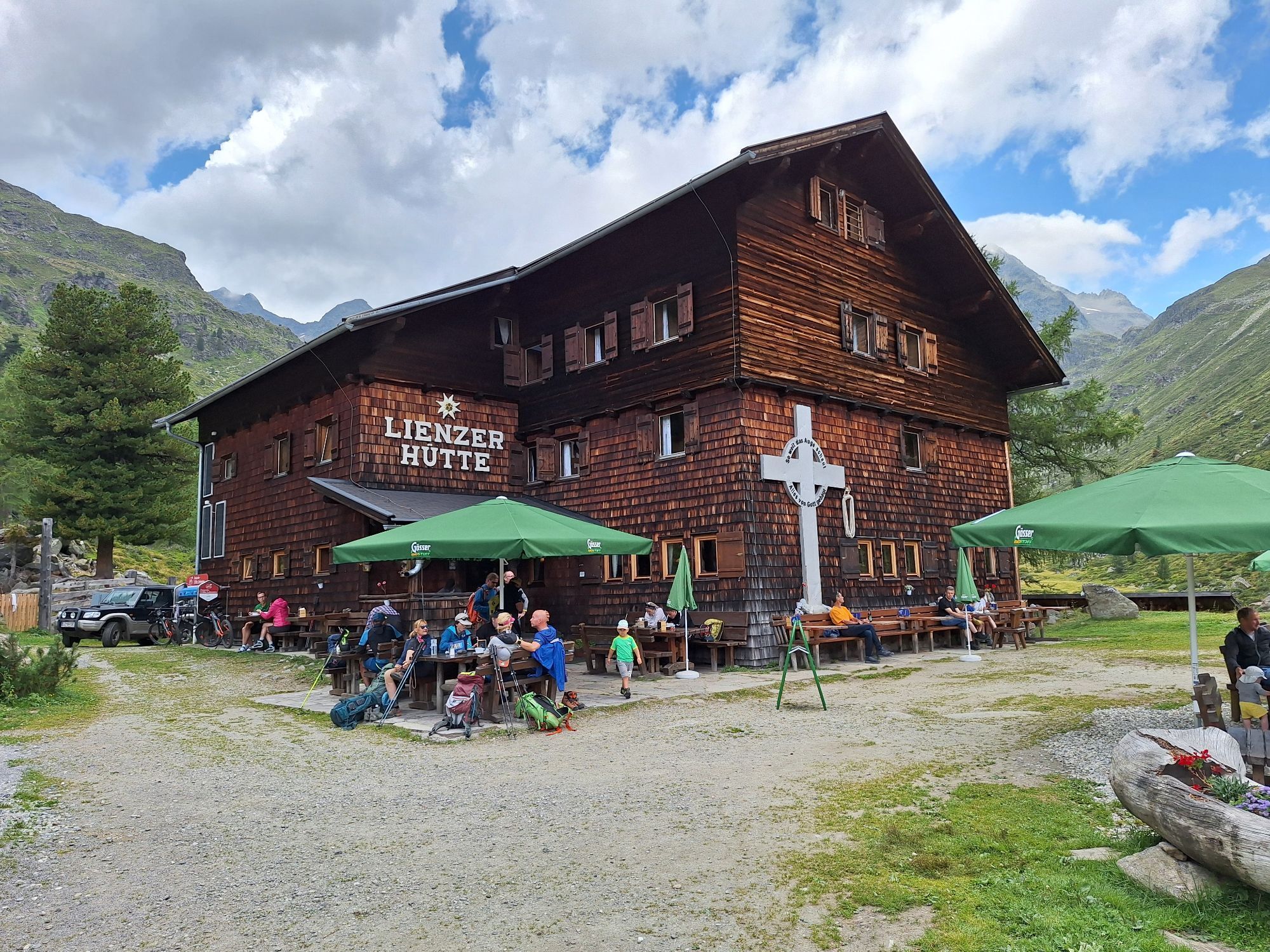
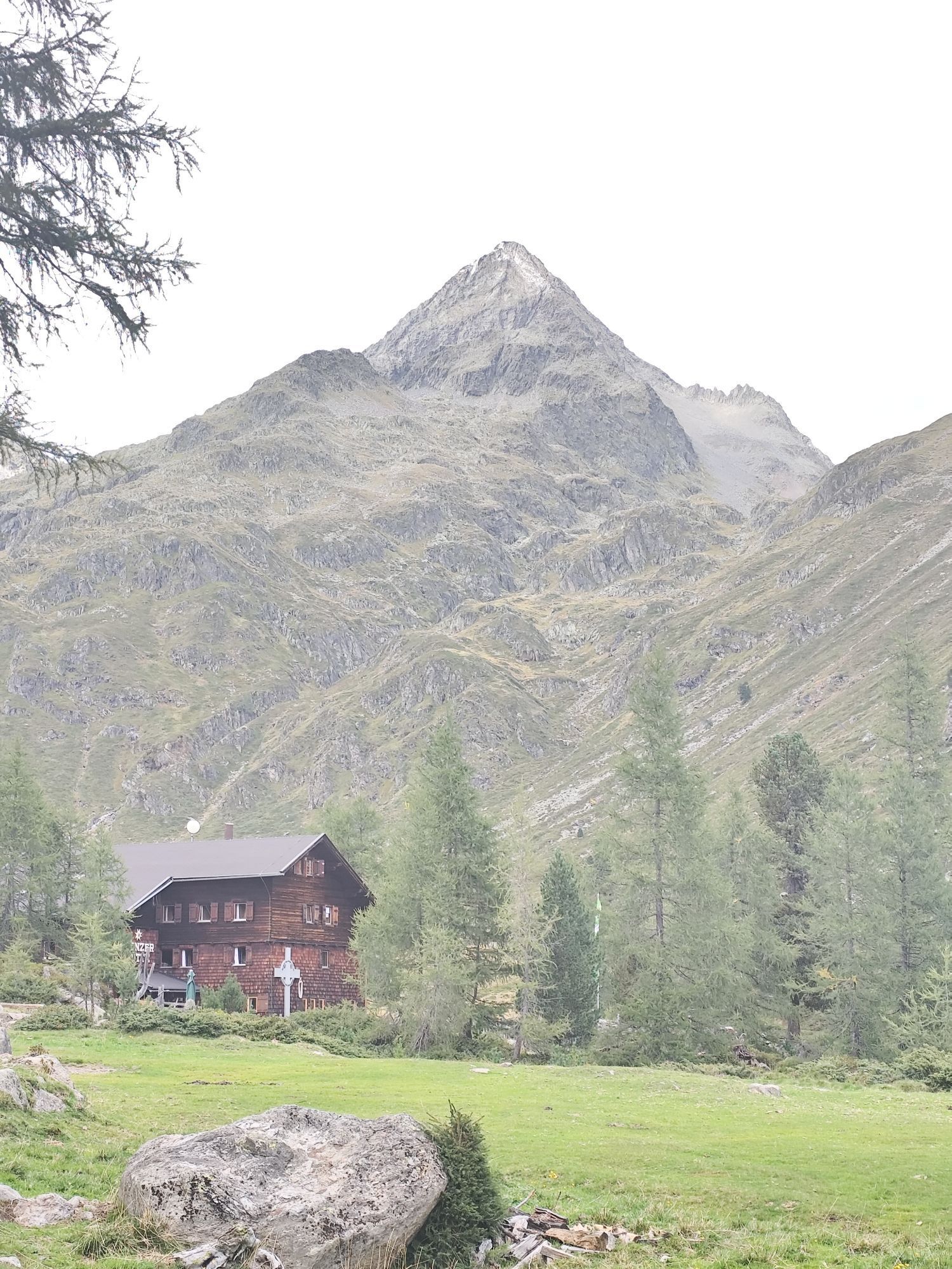
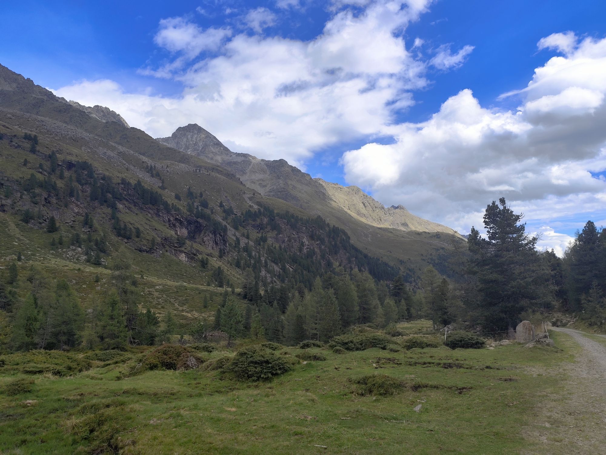
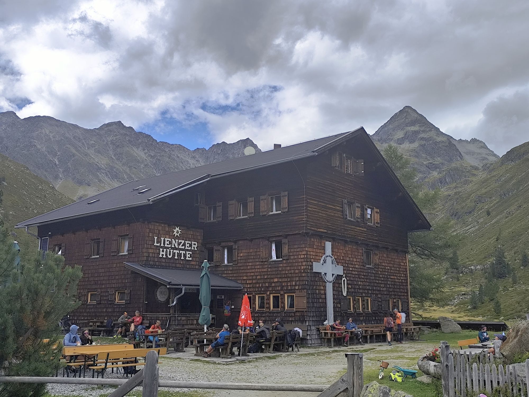
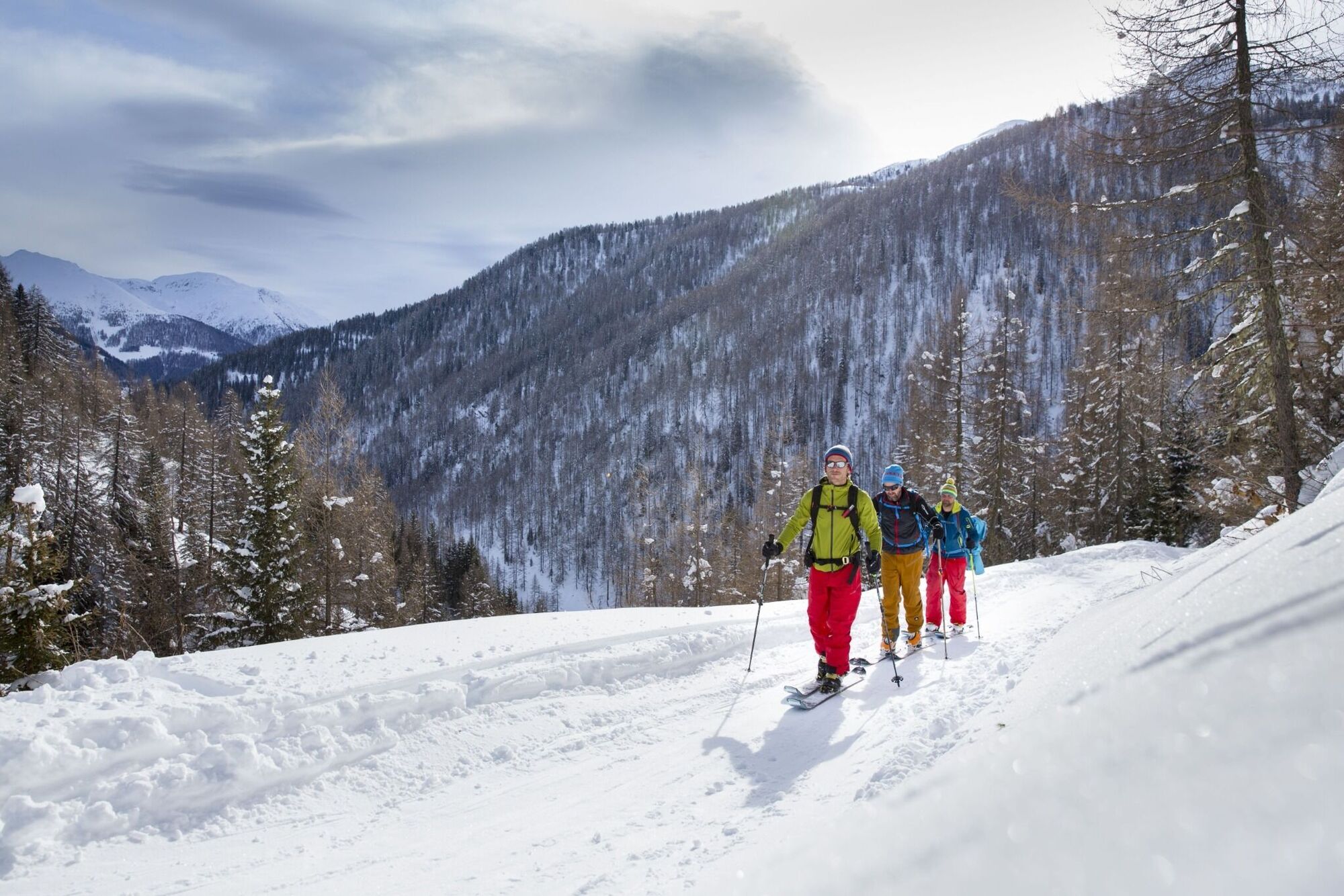
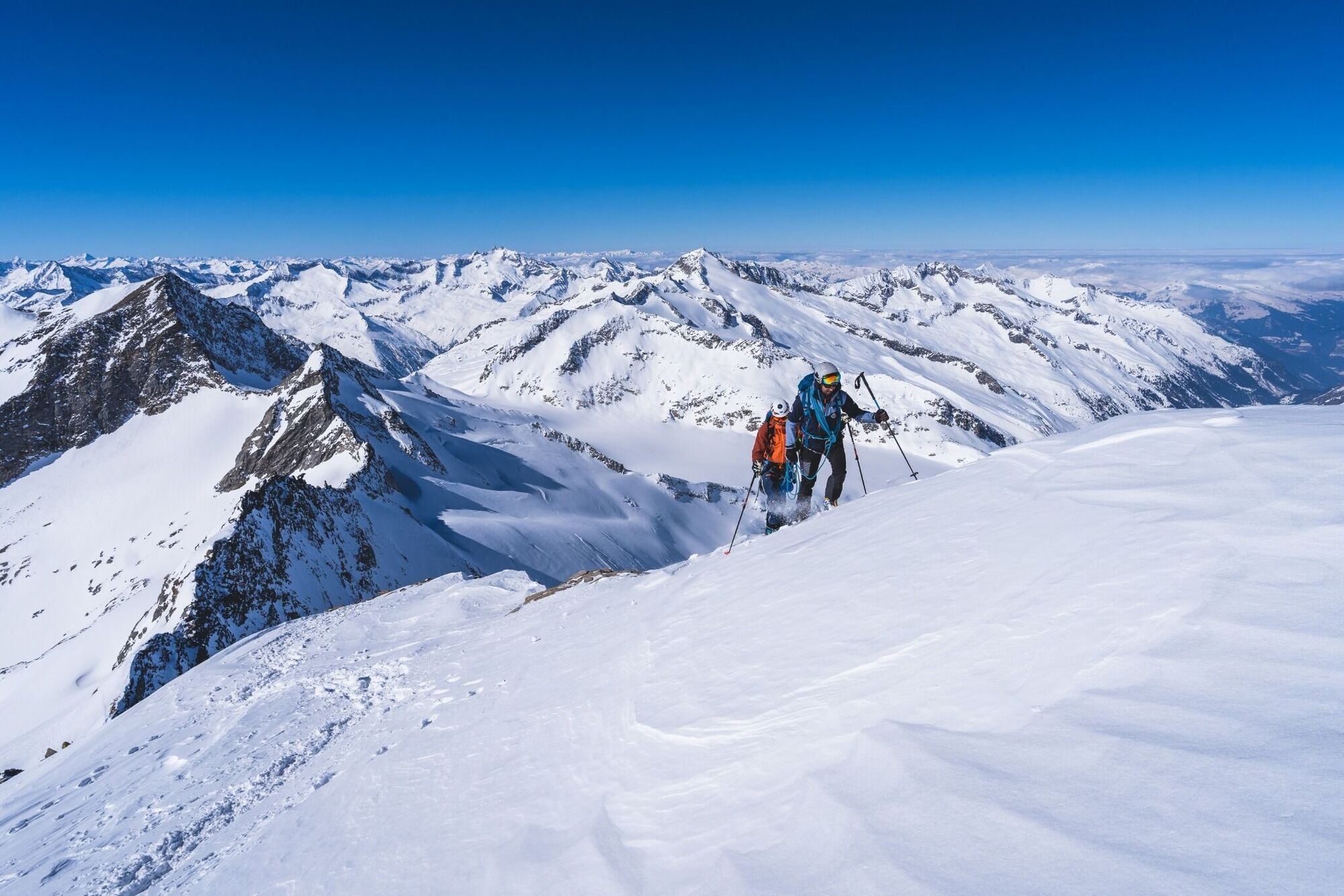
Tackling the long drawn-out summit of the Debantgrat, also known as the Viehkofel, is, in mountain ski tour terms, the reserve of the fastidious walker. As a north-eastern neighbour of the Hochschober, the southern summit is relatively easy to tackle via boulder terrain. It just has a bit of a kick at the start of the mountain. This is anything but short. The southern summit of the Debantgrat has for a long time had a cross, set up by "Krampusverein Debant" and this looks far into Debanttal. Starting point is Debanttal, a few kilometres to the north of Lienz. The ascent to Nussdorf, continuing via a little narrow road into Debanttal proceeds either via Lienz via the Liebherr crossing, or directly from the town of Debant. Depending on the snow conditions one lane of the goods route from the end of the asphalt road (Gasthaus Säge, 1100 m) can be used (chains) until just before Nussdorfer Bridge (1460 m). However should this already be closed the tour will be lengthened accordingly. The wide trail takes us now in an even incline past the summer car park area in Seichenbrunn, up to Lienzer Hütte (1977 m, 1 ½ hours from the bridge). The kettle becomes wider and we cross through the flat base area behind the accommodation. At the end of the head of the valley, just above 2000 m, the ski track bears west and starts to climb. Via truncated terrain we get to another, flat base area at around 2150m. Always bearing west we come to a north-facing, unbroken steep slope (>30°), which descends from the Mirnitzschneid. This is often threatened by avalanche and is tackled at its flattest section. Occasionally the right hand side can also be avoided by a few inclined „overhanging rocks“. There follows a short base area (around 2450m), before the ski track bears north again to the Schobertörl. In the hidden high valley (‘Gartl’) we enter a flat area after a short slope, at around 2700m. Whereas the ascent to the Hochschober proceeds left across steep slopes, we head for the distinctive south-facing flanks of the Debantgrat, which comes into view with its impressive summit cross. The approach to the summit is mostly tackled on the flattest area where we can forge our way without much difficulty after a little ridge saddle up to the highest point. When there is not much snow the ascent can also be made direct from Schobertörl (2905 m) via the boulder-strewn terrain (steel cable) of the summer terrain. Descent along the ascent trail.
Additional ski tour tips can be obtained in the ski tour guides by Thomas Mariacher. These are available here: http://www.grafikzloebl.at/verlag/buecher/
Additional ski tour tips can be obtained in the ski tour guides by Thomas Mariacher. These are available here: http://www.grafikzloebl.at/verlag/buecher/
Trasa
Lienzer Hütte
(1 980 m)
Úkryt
10,8 km
Debantgrat Südgipfel
(3 052 m)
Summit
15,3 km
Debantgrat Nordgipfel
(3 055 m)
Summit
15,6 km
Debantgrat
(3 055 m)
Summit
15,6 km
Trasa
Ski tour Debantgrat 3.052m
ťažké
Skitour
15,74
km


Zariadenie
Basic equipment for ski tours includes touring skis with skins, touring poles, suitable touring ski boots and functional clothing based on the layering principle including sufficient spare clothes. Keep your backpack weight as low as possible. Essential in open terrain is complete avalanche emergency equipment (transceiver, shovel, probe) as well as a first aid kit, a bivy sack and a charged mobile phone. Sufficient fluids and food should also be carried. An avalanche airbag backpack can further increase the chances of survival in an emergency.
This information serves as a guide and does not claim to be exhaustive. Equipment must always be adapted to the tour destination, weather conditions, season, natural hazards, environmental influences and personal needs.
This information serves as a guide and does not claim to be exhaustive. Equipment must always be adapted to the tour destination, weather conditions, season, natural hazards, environmental influences and personal needs.
Informácie o príchode
Príchod
Coming from Lienz, drive in the direction of Debant. Turn left at the turn-off to Nußdorf and continue to the Debant valley to the "Säge".
Parkovanie
Coming from Lienz, drive in the direction of Debant. Turn left at the turn-off to Nußdorf and continue to the Debant valley to the "Säge".
Oceňovanie

Webové kamery z prehliadky

Všetky webové kamery na mape
Nainštaluj si aplikáciu zadarmo a porovnaj živé zábery z viacerých miest, než vyrazíš.
Využite službu „ bergfex “ už teraz v aplikácii
Naskenuj QR kód pomocou fotoaparátu
Ak máte aplikáciu nainštalovanú, obsah sa otvorí priamo. Ak aplikáciu ešte nemáte, budete presmerovaní na stránku, kde si ju môžete bezplatne stiahnuť.

Obľúbené výlety v okolí
-
4,9
Wangennitzsee Hütte
strednáTuristika 3,80 km -
5,0
Ederplan round from the parking lot Stronach
strednáTuristika 7,19 km -
4,8
Summit hike Rotenkogel 2,762m
ťažkéTuristika 4,22 km -
4,9
Figerhorn 2743m, Lucknerhaus
ťažkéTuristika 6,69 km -
4,9
Glockner Alpincenter - Salmhütte - Hohenwartkees
strednáTuristika 8,64 km -
4,9
Astental: Mohar, Moharkreuz
strednáTuristika 9 km -
4,7
Glödis 3206m: PP Seichenbrunn, Lienzer Hütte, Glödis KS A/B
ťažkéVysoké turné 16,1 km -
4,5
Böses Weibele, 3119m, Lucknerhaus
ťažkéTuristika 13,8 km -
4,8
Lienzer Hütte
svetloTuristika 7,39 km -
4,2
Lucknerhaus zur Glorerhütte über Lucknerhütte zurück
strednáTuristika 11,2 km
Turistika a stopovanie

Viac ako 550.000 návrhov výletov, podrobné mapy a intuitívny plánovač trás robia z aplikácie povinnú výbavu pre všetkých nadšencov prírody.

Nenechajte si ujsť ponuky a inšpiráciu na ďalšiu dovolenku
Prihlásiť sa k odberu noviniek
Chyba
Vyskytla sa chyba. Prosím, skúste to znova.
Ďakujeme za vašu registráciu
Vaša e-mailová adresa bol pridaný do poštového zoznamu.
Zájazdy po celej Európe
Rakúsko
Švajčiarsko
Nemecko
Taliansko
Slovinsko
Francúzsko
Holandsko
Belgicko
Poľsko
Lichtenštajnsko
Česko
Slovensko
španielsko
Hrvaška
Bosna a Hercegovina
Luxembursko
Andorra
Portugalsko
Island
Spojené kráľovstvo
Írsko
Grécko
Albánsko
Severné Macedónsko
Malta
Nórsko
Čierna Hora
Moldavsko
Kosovo
Maďarsko
San Maríno
Rumunsko
Estónsko
Lotyšsko
Bielorusko
Cyprus
Litva
Srbsko
Bulharsko
Monako
Dánsko
Švédsko
Fínsko





