
Paths of the romans
svetlo
Získajte túto prehliadku v mobilnom telefóne
Paths of the romans
svetlo
Tematická trasa
15,66
km
Naskenujte kód QR a spustite navigáciu v aplikácii bergfex


Turistika a stopovanie





Paths of the romans
svetlo
Vzdialenosť
15,7
km
Trvanie
05:00
h
Ascent
518
hm
Hladina mora
653 -
1 176
m
Stiahnutie skladby
Paths of the romans
svetlo
Tematická trasa
15,66
km
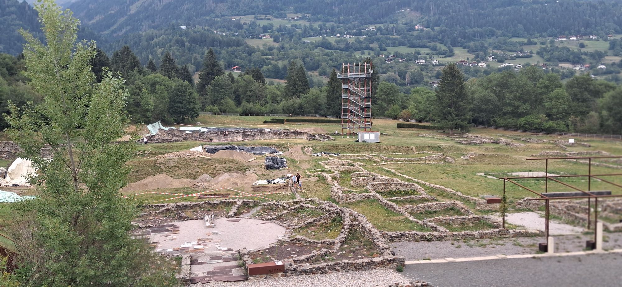
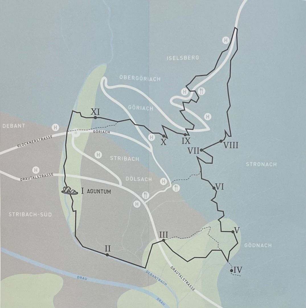
Starting from the only Roman city in Tyrol, called Aguntum, there is a hiking trail which leads through the national park villages of Dölsach and Iselsberg-Stronach.
At selected stations you will receive...
Opis
Starting from the only Roman city in Tyrol, called Aguntum, there is a hiking trail which leads through the national park villages of Dölsach and Iselsberg-Stronach.
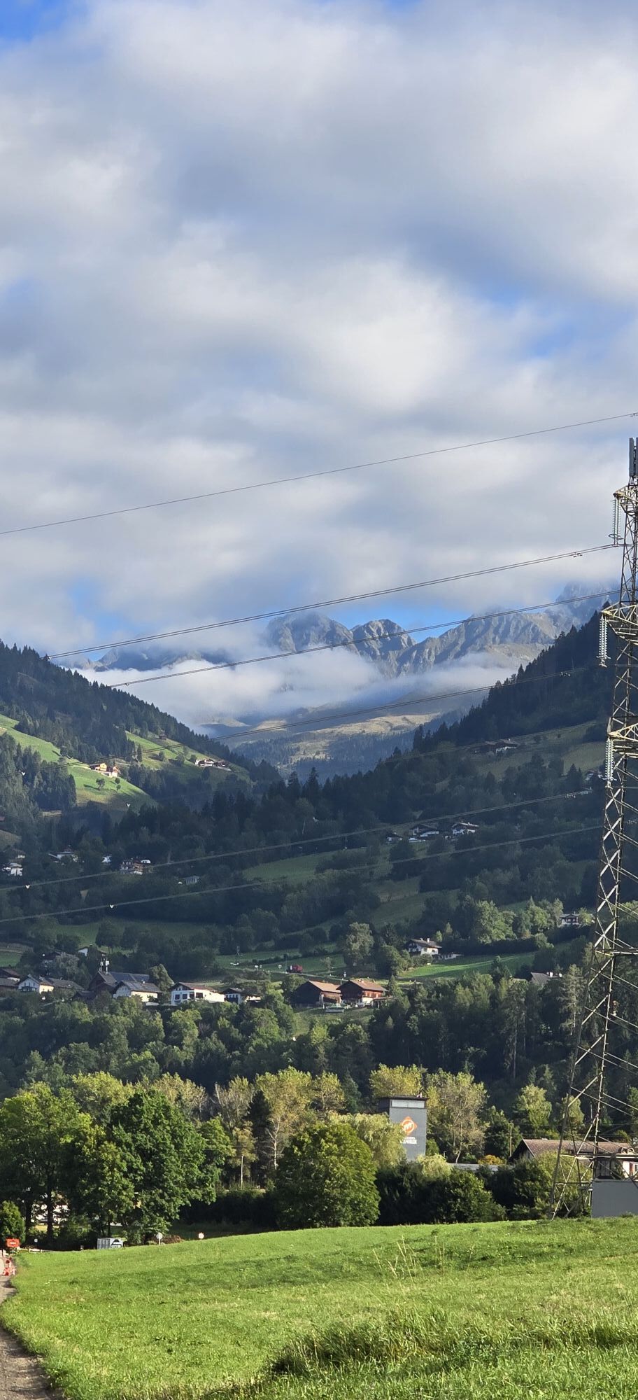
At selected stations you will receive information about the history of this landscape.
The trail "Römerweg" can be done in 3 stages.
1. Stage
Aguntum --> Dölsach
6 km | ca. 2 hours
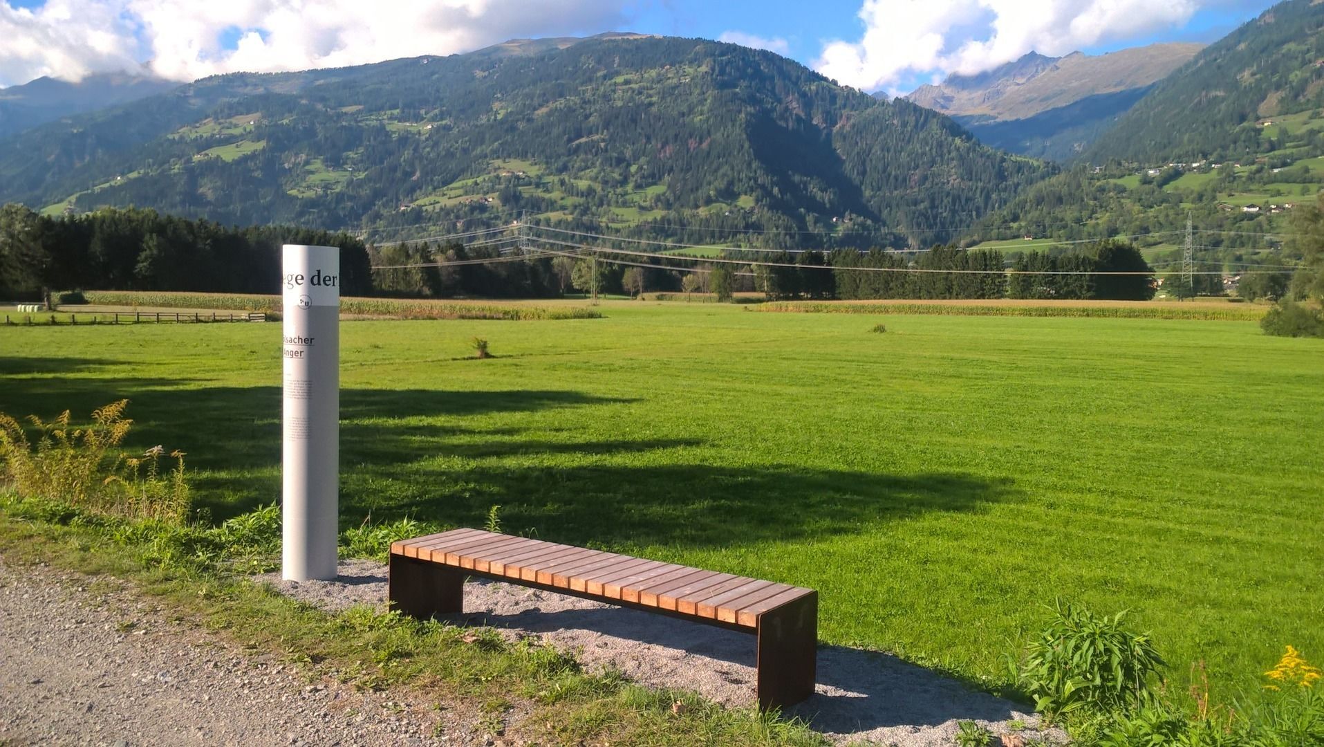
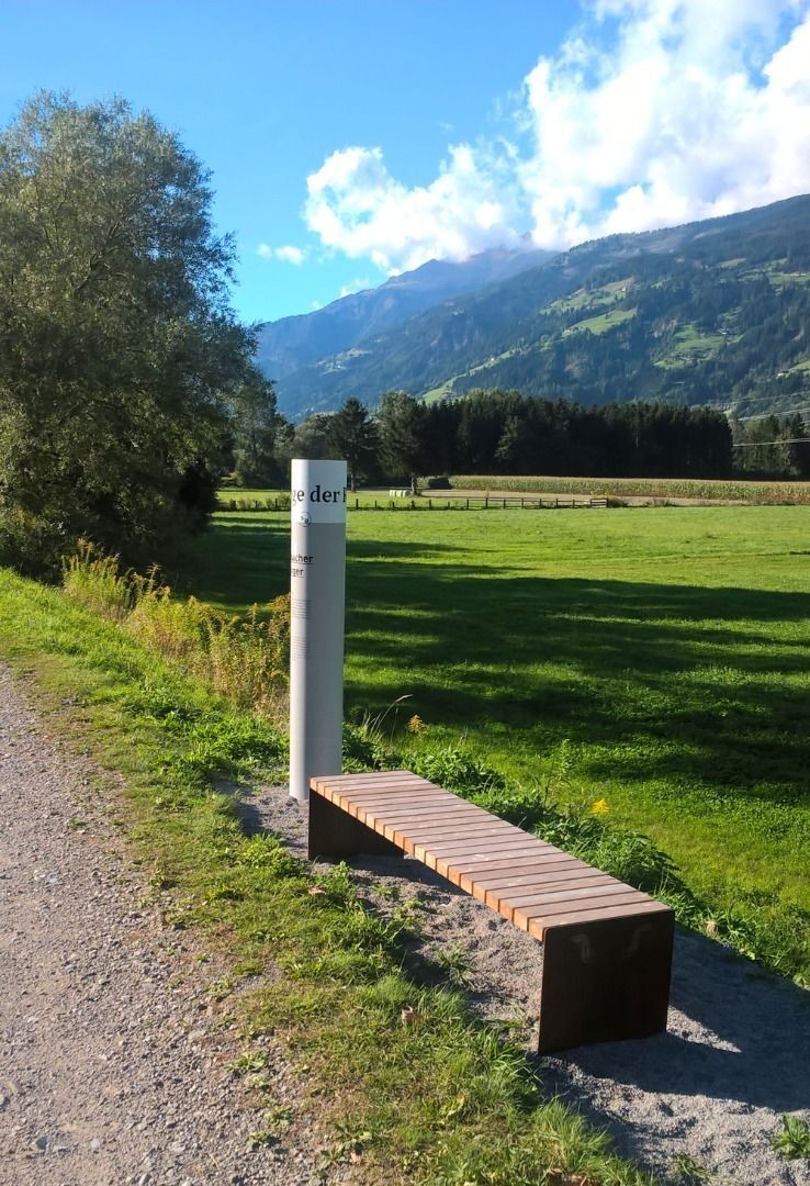
Stations: Aguntum - Dölsacher Anger - Outdoor pool Dölsach - Chapel Görtschach - Mühlensteig Gödnach
2. Stage
Dölsach --> Iselsberg
4 km | ca. 1 hour
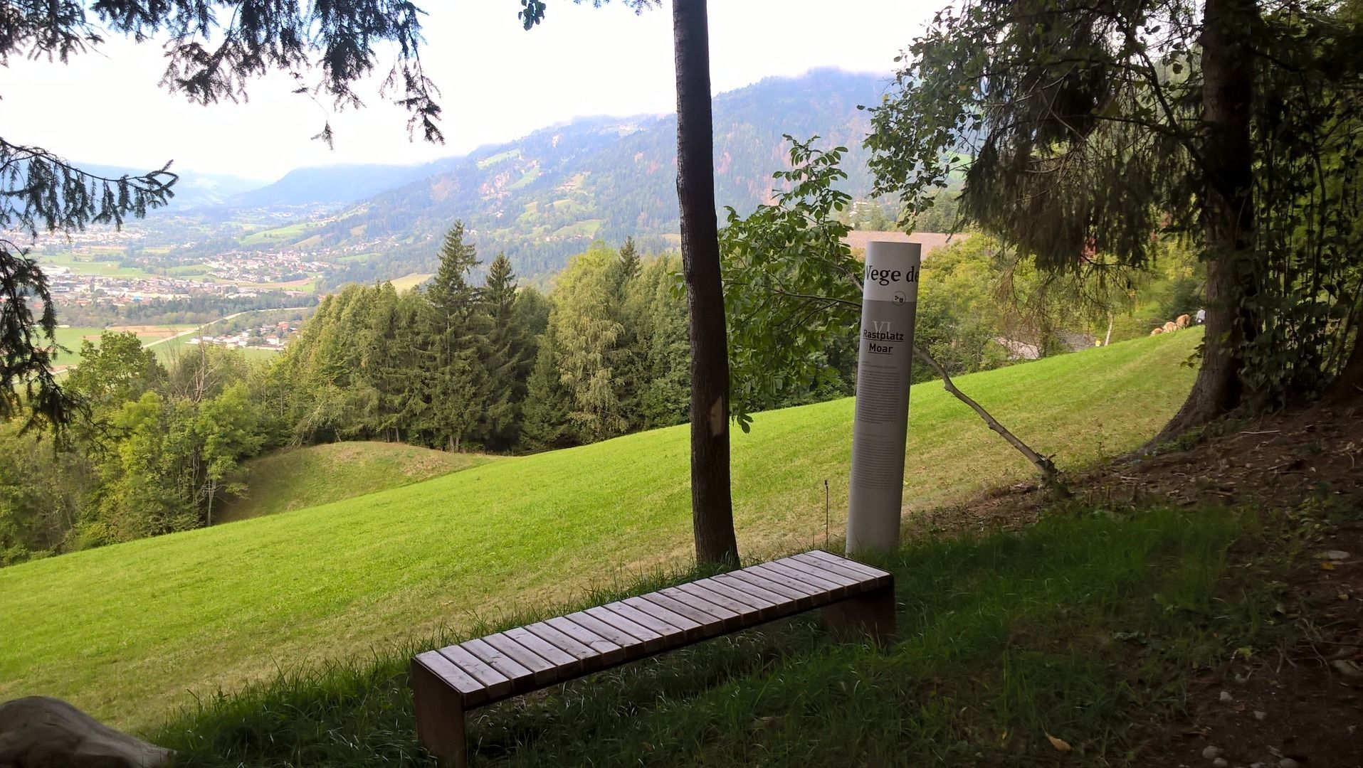
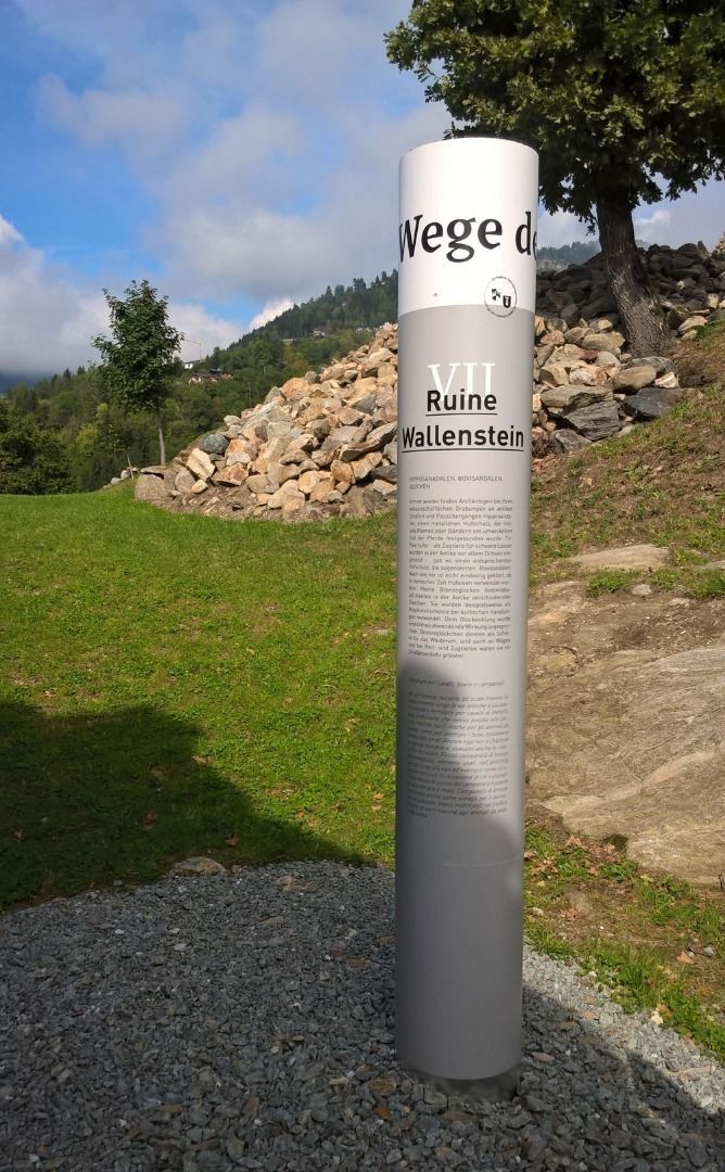
Stations: Rastplatz Moar - Ruin Wallenstein - Stronach
3. Stage
Iselsberg --> Aguntum
5 km | ca. 2 hours
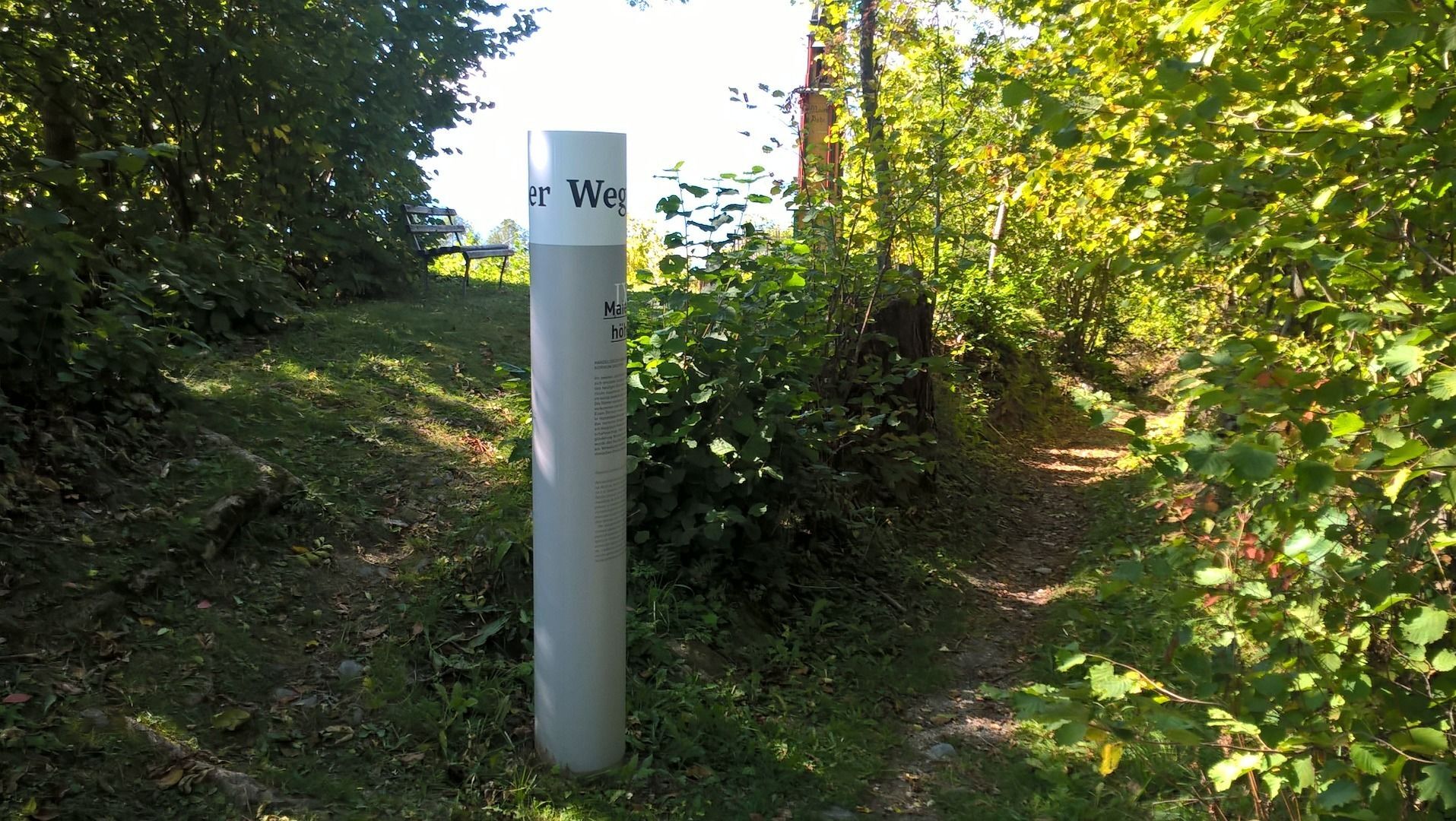
Stations: Maienhöhe - Panoramic place Iselsberg/Lavantblick - Pondorfer Futterhäusl - Aguntum
At selected stations you will receive information about the history of this landscape.
The trail "Römerweg" can be done in 3 stages.
1. Stage
Aguntum --> Dölsach
6 km | ca. 2 hours
Stations: Aguntum - Dölsacher Anger - Outdoor pool Dölsach - Chapel Görtschach - Mühlensteig Gödnach
2. Stage
Dölsach --> Iselsberg
4 km | ca. 1 hour
Stations: Rastplatz Moar - Ruin Wallenstein - Stronach
3. Stage
Iselsberg --> Aguntum
5 km | ca. 2 hours
Stations: Maienhöhe - Panoramic place Iselsberg/Lavantblick - Pondorfer Futterhäusl - Aguntum
Trasa
Stribach
(673 m)
Dedina
0,0 km
Kapelle zur schmerzhaften Mutter Gottes
(760 m)
Miesto uctievania
4,1 km
Kapelle Hl. Josef
(998 m)
Miesto uctievania
7,2 km
Stronach
(1 099 m)
Dedina
7,9 km
Iselsberg
(1 096 m)
Dedina
11,5 km
Obergöriach
(894 m)
Dedina
13,5 km
Stribach
(673 m)
Dedina
14,9 km
Trasa
Paths of the romans
svetlo
Tematická trasa
15,66
km
Stribach
(673 m)
Dedina
0,0 km
Stribach-Süd
(657 m)
Dedina
0,3 km
Gödnach
(712 m)
Dedina
3,7 km
Görtschach
(754 m)
Dedina
4,0 km
Kapelle zur schmerzhaften Mutter Gottes
(760 m)
Miesto uctievania
4,1 km
Aichholz-Bachetzen
(746 m)
Koridor/terén
4,6 km
Dölsach
(700 m)
Dedina
6,2 km
Kapelle Hl. Josef
(998 m)
Miesto uctievania
7,2 km
Stronach
(1 099 m)
Dedina
7,9 km
Hotel Iselsbergerhof
(1 119 m)
Reštaurácia
11,0 km
Iselsberg
(1 096 m)
Dedina
11,5 km
Göriach
(788 m)
Dedina
13,5 km
Obergöriach
(894 m)
Dedina
13,5 km
Alt-Debant
(685 m)
Zúčtovanie
14,6 km
Stribach
(673 m)
Dedina
14,9 km
Stribach-Süd
(657 m)
Dedina
15,3 km


Informácie o príchode
Príchod
Coming from the train station in Lienz, drive in the direction of Carinthia / Oberdrauburg.
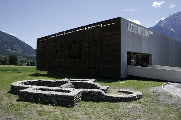
After the village of Nussdorf-Debant you reach the Roman city of Aguntum with its many excavations
After the village of Nussdorf-Debant you reach the Roman city of Aguntum with its many excavations
Verejná doprava
From the train station in Lienz, take the nr 942 regional bus to the bus stop of Stribach Aguntum.
Parkovanie
Parking space at the roman city of Aguntum
Zatiaľ žiadne recenzie
Získajte prehľad
Vždy naživo na mieste s viac ako 9 500 webovými kamerami. bergfex Ako používateľ Pro si teraz môžete pozrieť príslušné webové kamery pre mnohé zájazdy v aplikácii zájazdy z. Môžete si tak priamo prezerať aktuálne podmienky.
Obľúbené výlety v okolí
-
4,9
Wangennitzsee Hütte
strednáTuristika 3,80 km -
5,0
Ederplan round from the parking lot Stronach
strednáTuristika 7,19 km -
4,7
Karlsbader Hütte über Rudl-Eller-Weg
ťažkéTuristika 5,10 km -
4,8
Pirknerklamm (C)
strednáVia ferrata 2 km -
4,8
Lienzer Dolomiten-Lasertörl
strednáTuristika 13,2 km -
4,7
Karlsbader Hütte
strednáMountainbike 13,4 km -
4,2
Gradental to Adolf Nossberger Hut - circular route
strednáTuristika 11,1 km -
4,7
Lienzer Hütte
svetloTuristika 7,39 km -
4,0
Karlsbader Hütte - Lienzer Dolomiten
Turistika 8 km -
4,2
Straßkopf
strednáTuristika 4,06 km
Turistika a stopovanie

Viac ako 550.000 návrhov výletov, podrobné mapy a intuitívny plánovač trás robia z aplikácie povinnú výbavu pre všetkých nadšencov prírody.

Nenechajte si ujsť ponuky a inšpiráciu na ďalšiu dovolenku
Prihlásiť sa k odberu noviniek
Chyba
Vyskytla sa chyba. Prosím, skúste to znova.
Ďakujeme za vašu registráciu
Vaša e-mailová adresa bol pridaný do poštového zoznamu.
Zájazdy po celej Európe
Rakúsko
Švajčiarsko
Nemecko
Taliansko
Slovinsko
Francúzsko
Holandsko
Belgicko
Poľsko
Lichtenštajnsko
Česko
Slovensko
španielsko
Hrvaška
Bosna a Hercegovina
Luxembursko
Andorra
Portugalsko
Island
Spojené kráľovstvo
Írsko
Grécko
Albánsko
Severné Macedónsko
Malta
Nórsko
Čierna Hora
Moldavsko
Kosovo
Maďarsko
San Maríno
Rumunsko
Estónsko
Lotyšsko
Bielorusko
Cyprus
Litva
Srbsko
Bulharsko
Monako
Dánsko
Švédsko
Fínsko





