



TIP cozy hike natural jewel Gartalm Zillertal


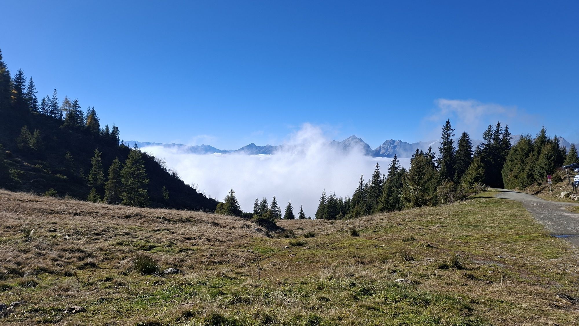
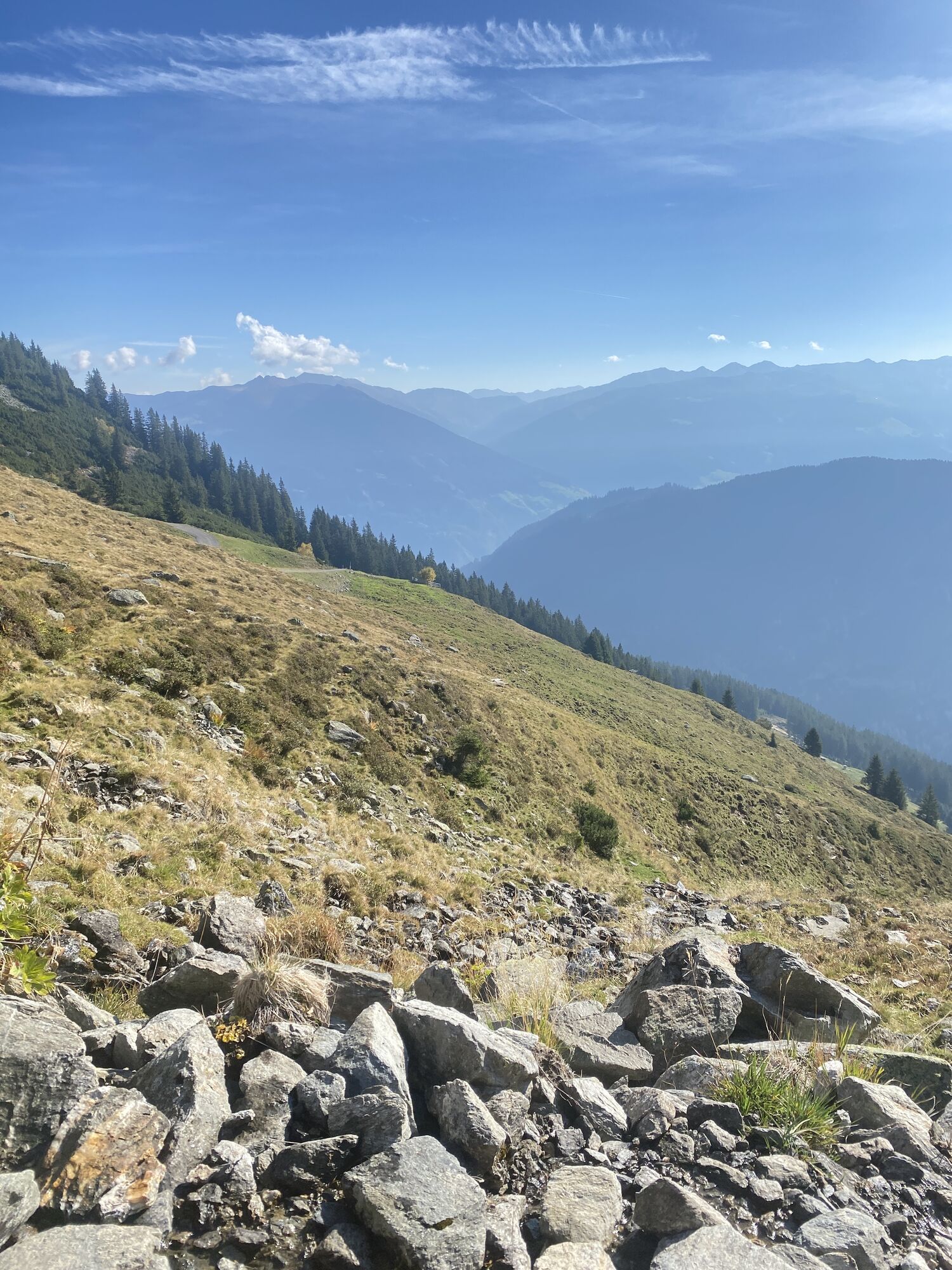
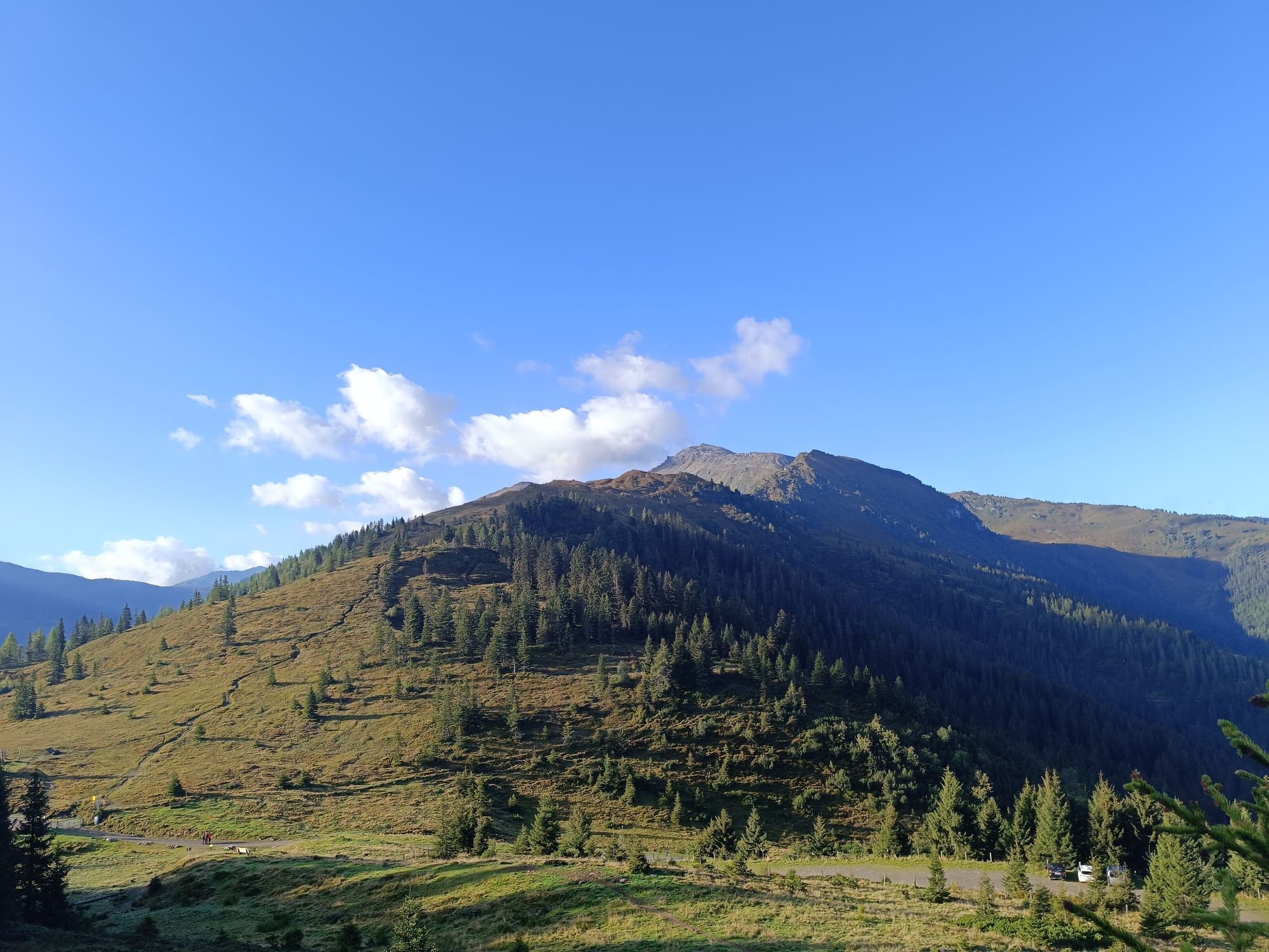
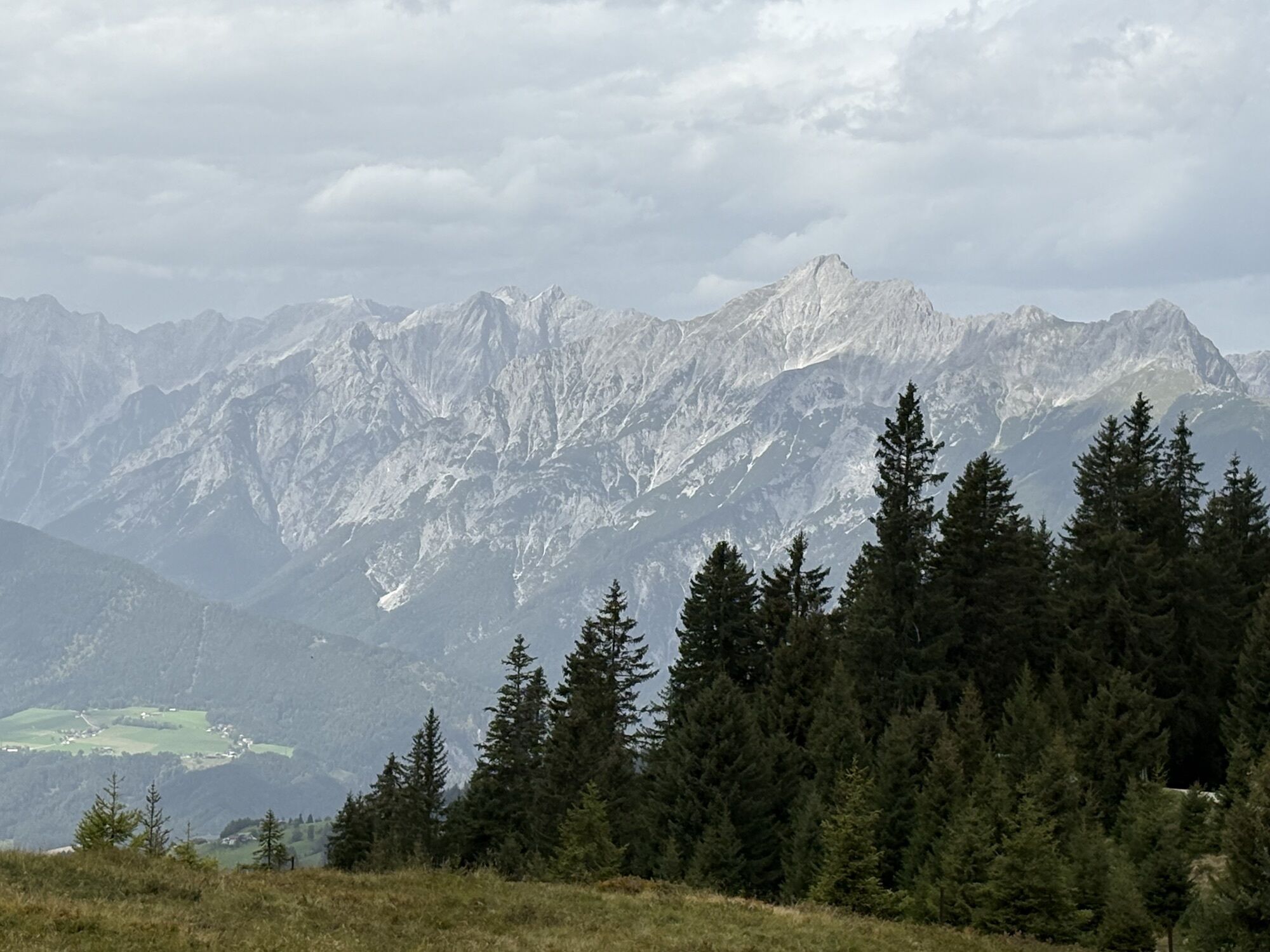
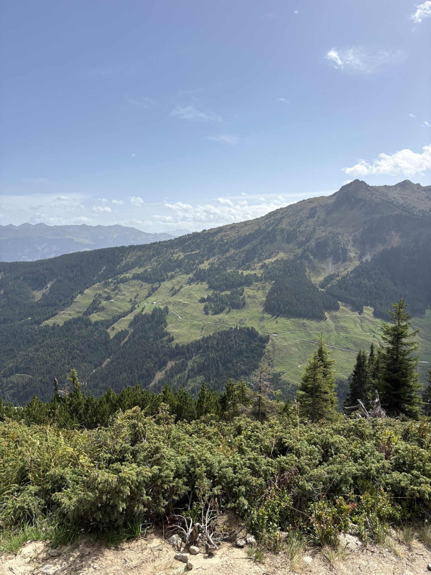
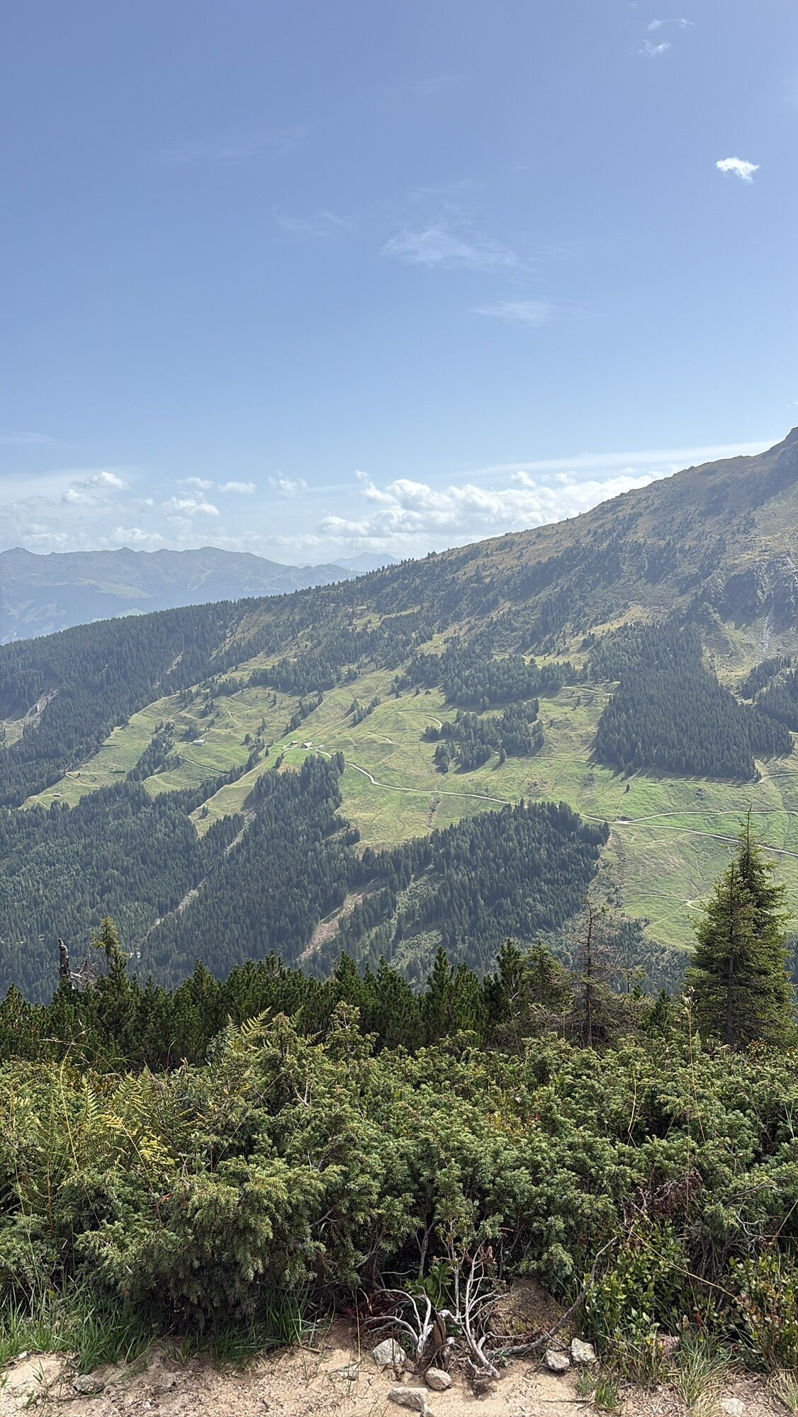
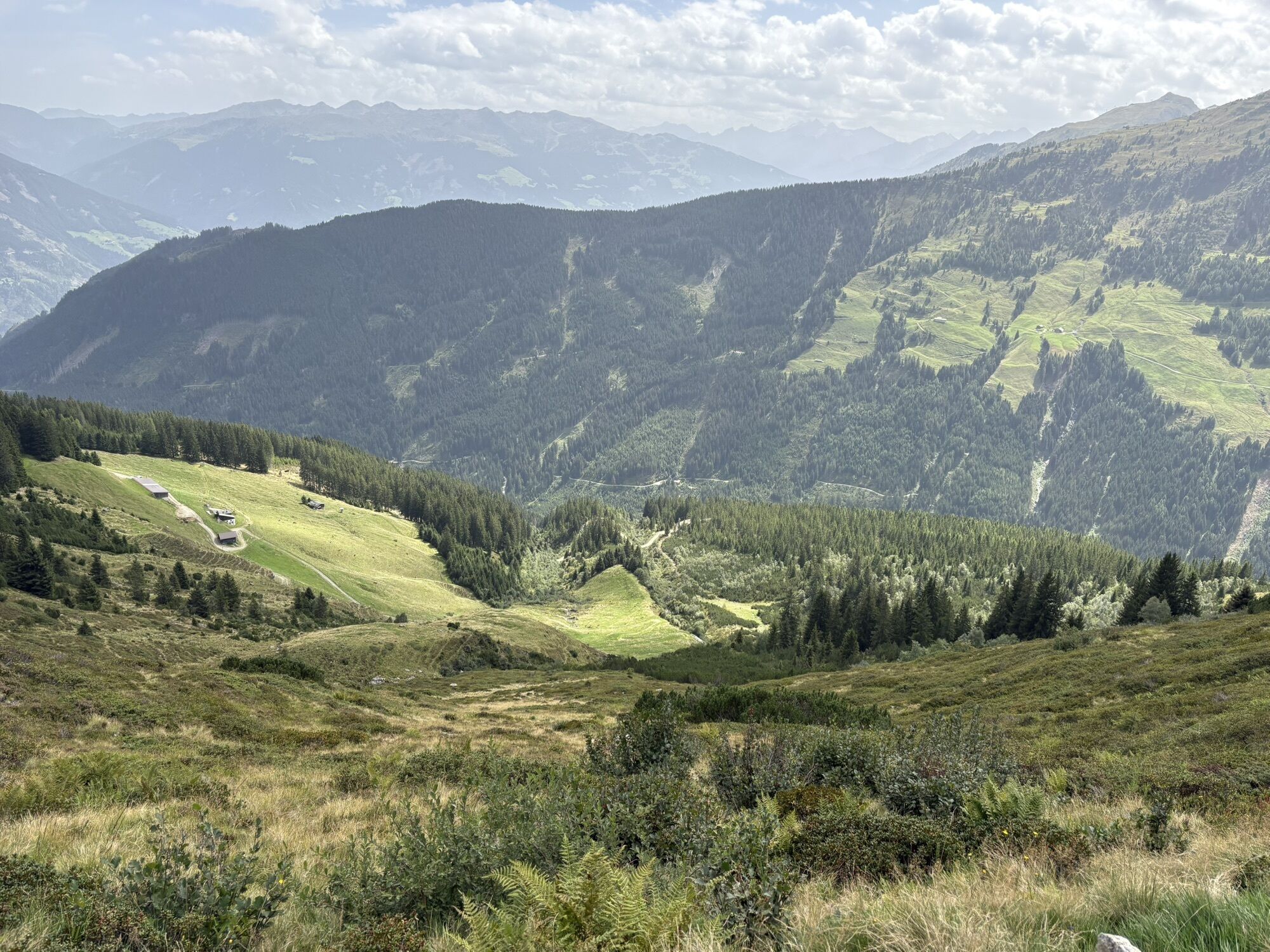
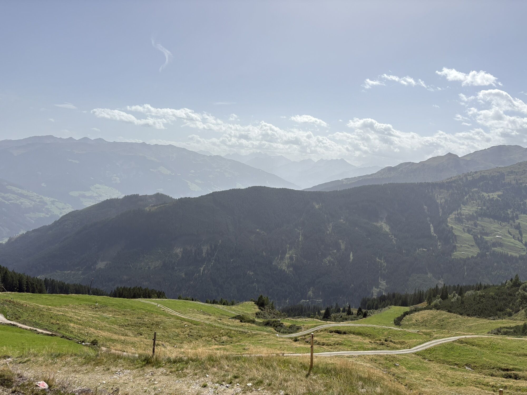


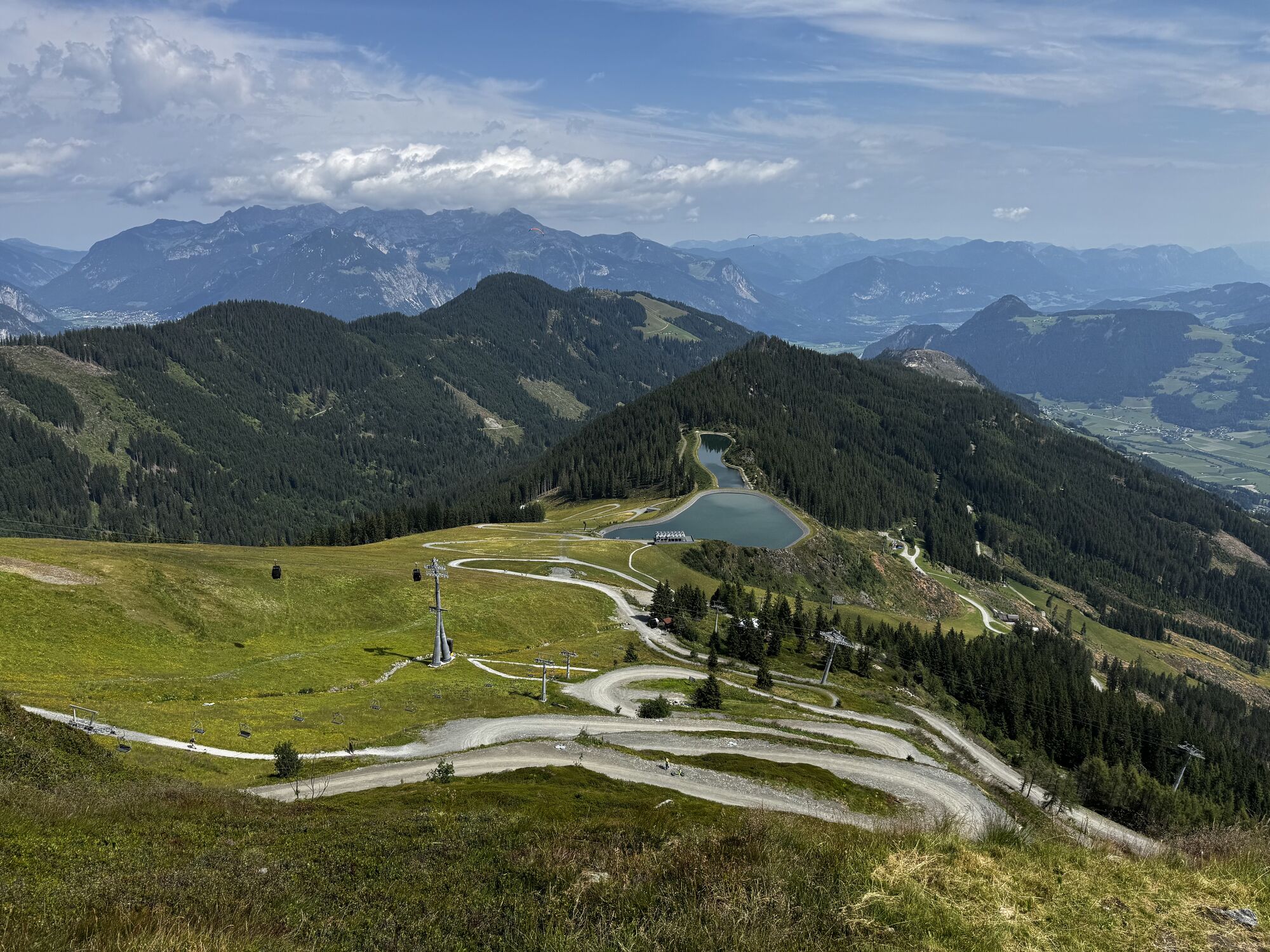
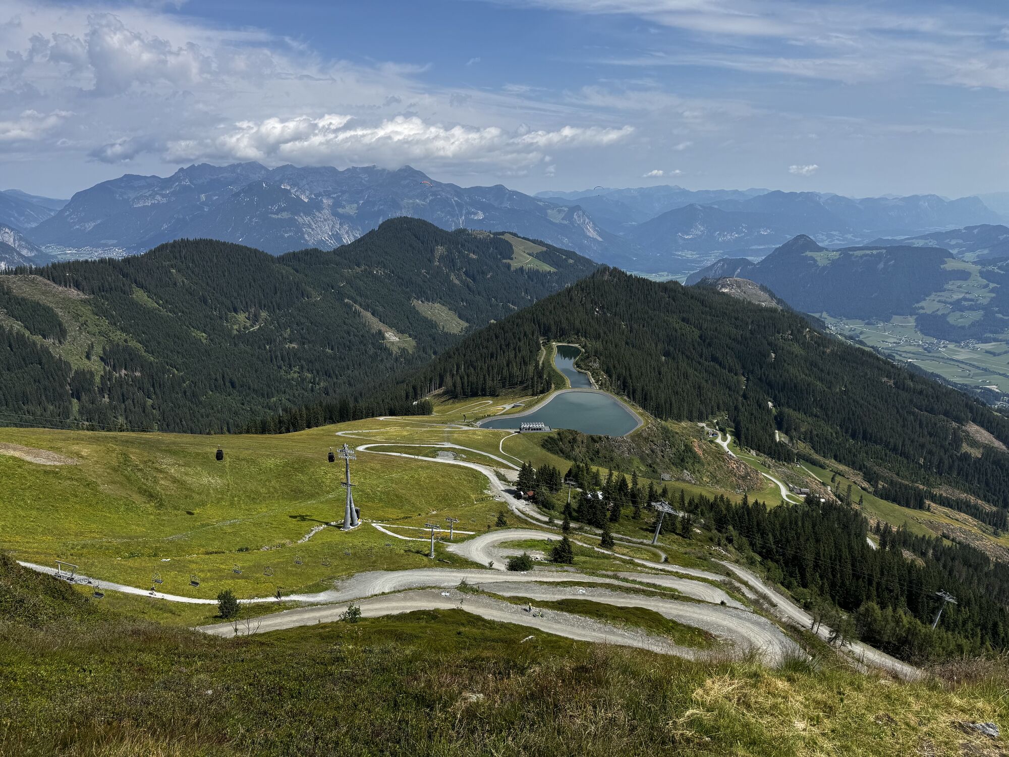
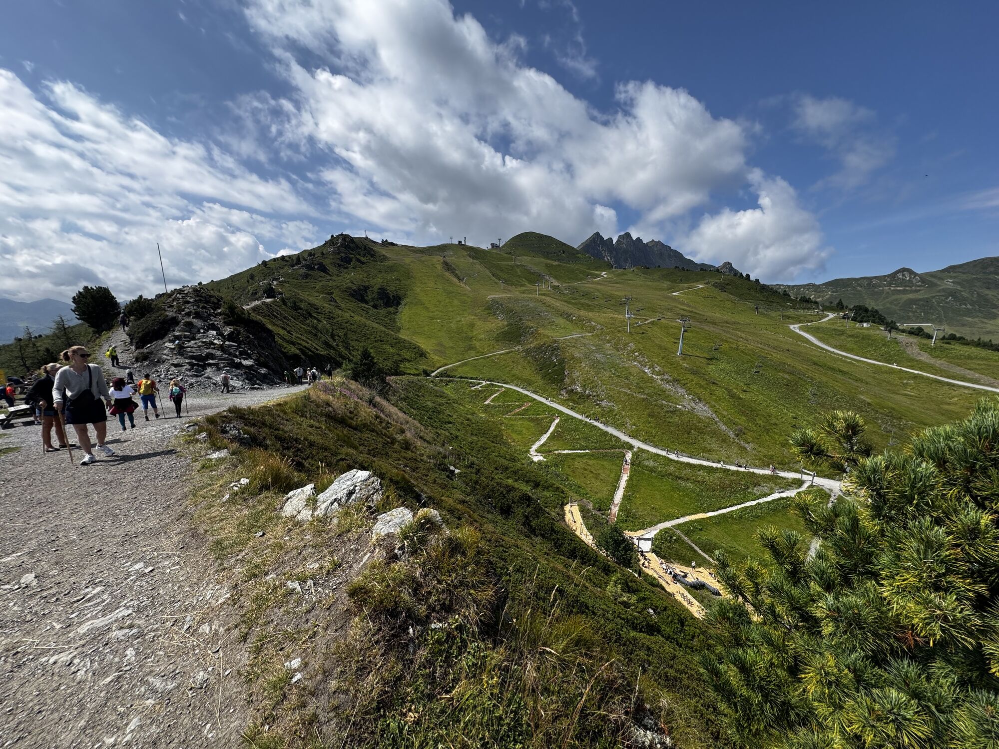
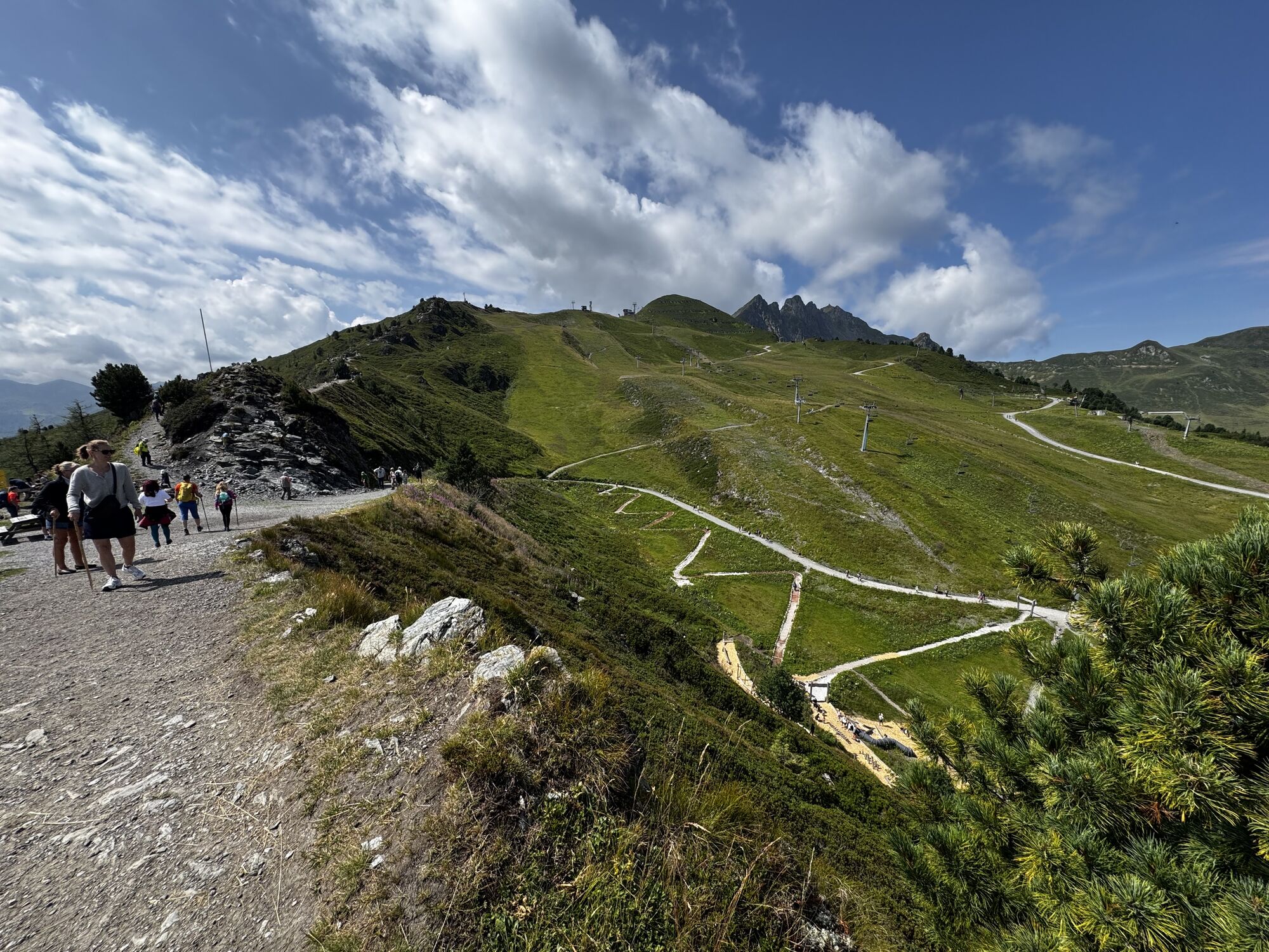




Take the gondola to the top station of the Spieljoch cable car. From the top station, the hiking trail leads to Spieljoch - from there it continues on the path to Geolsalm and then to Gartalm (1830 m high...
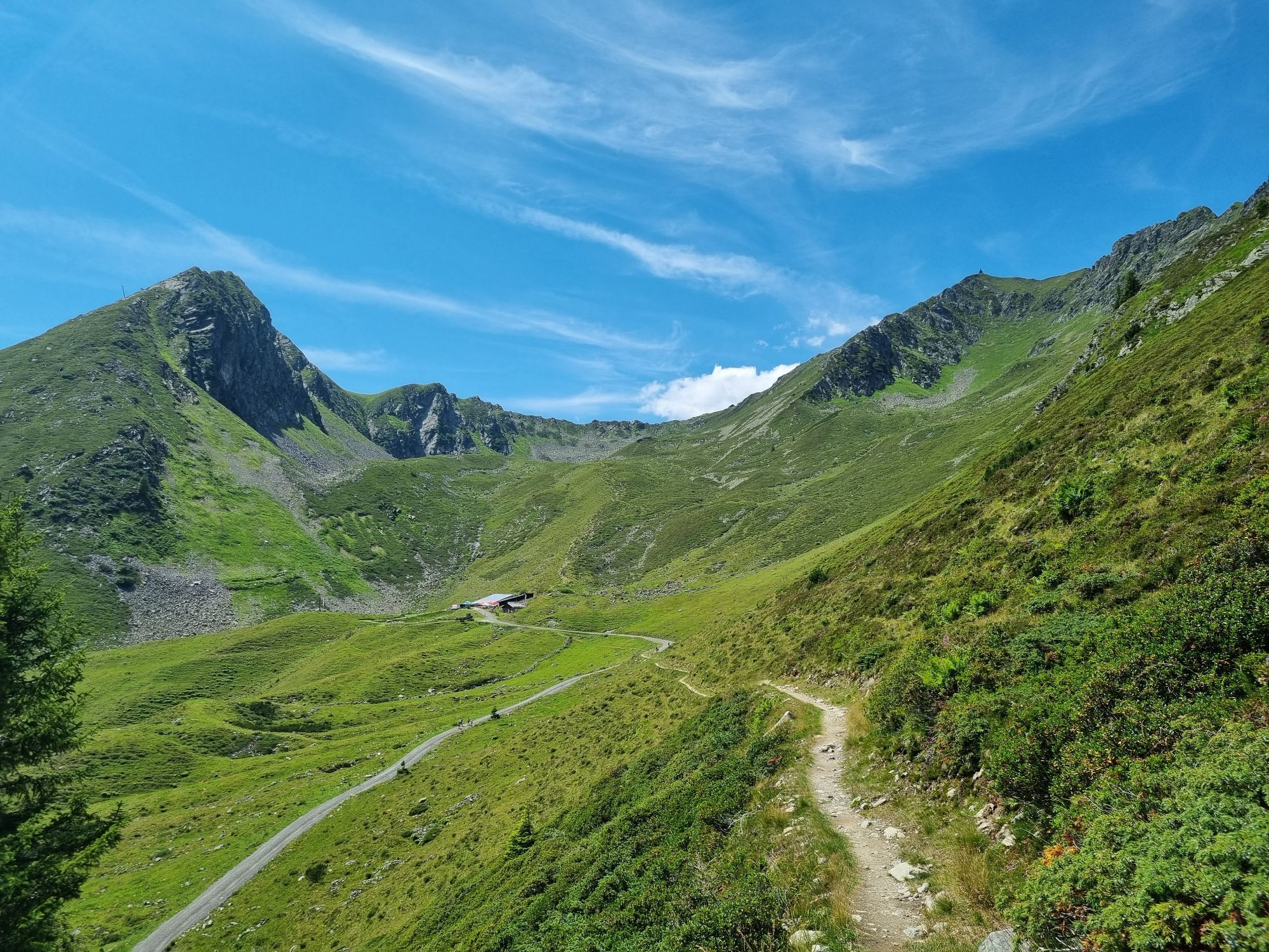
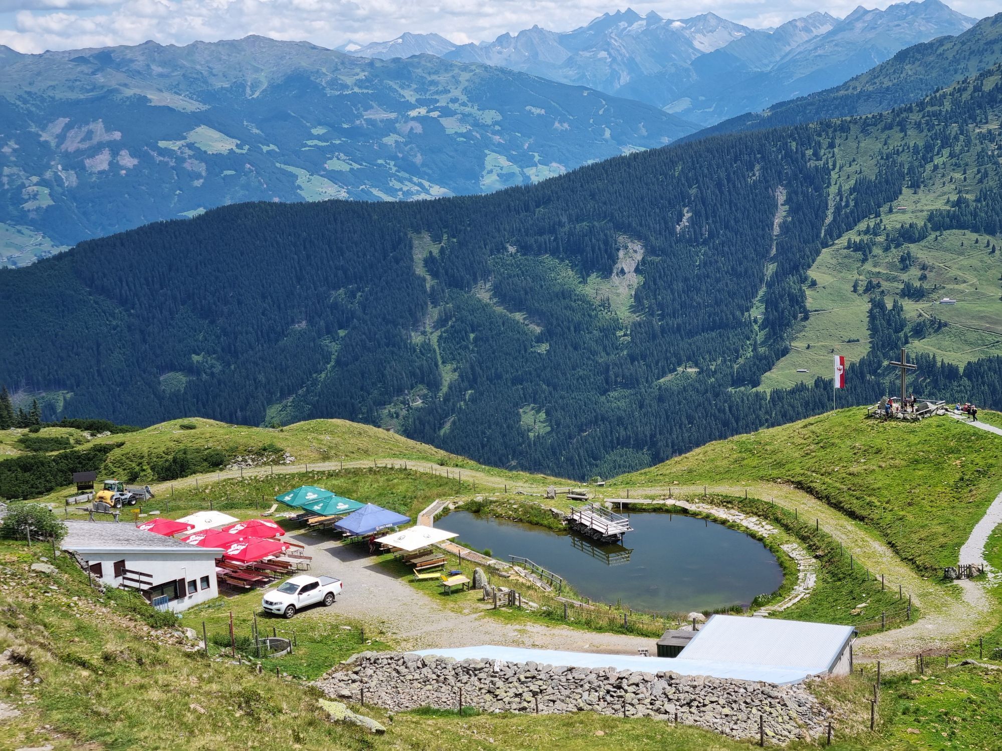
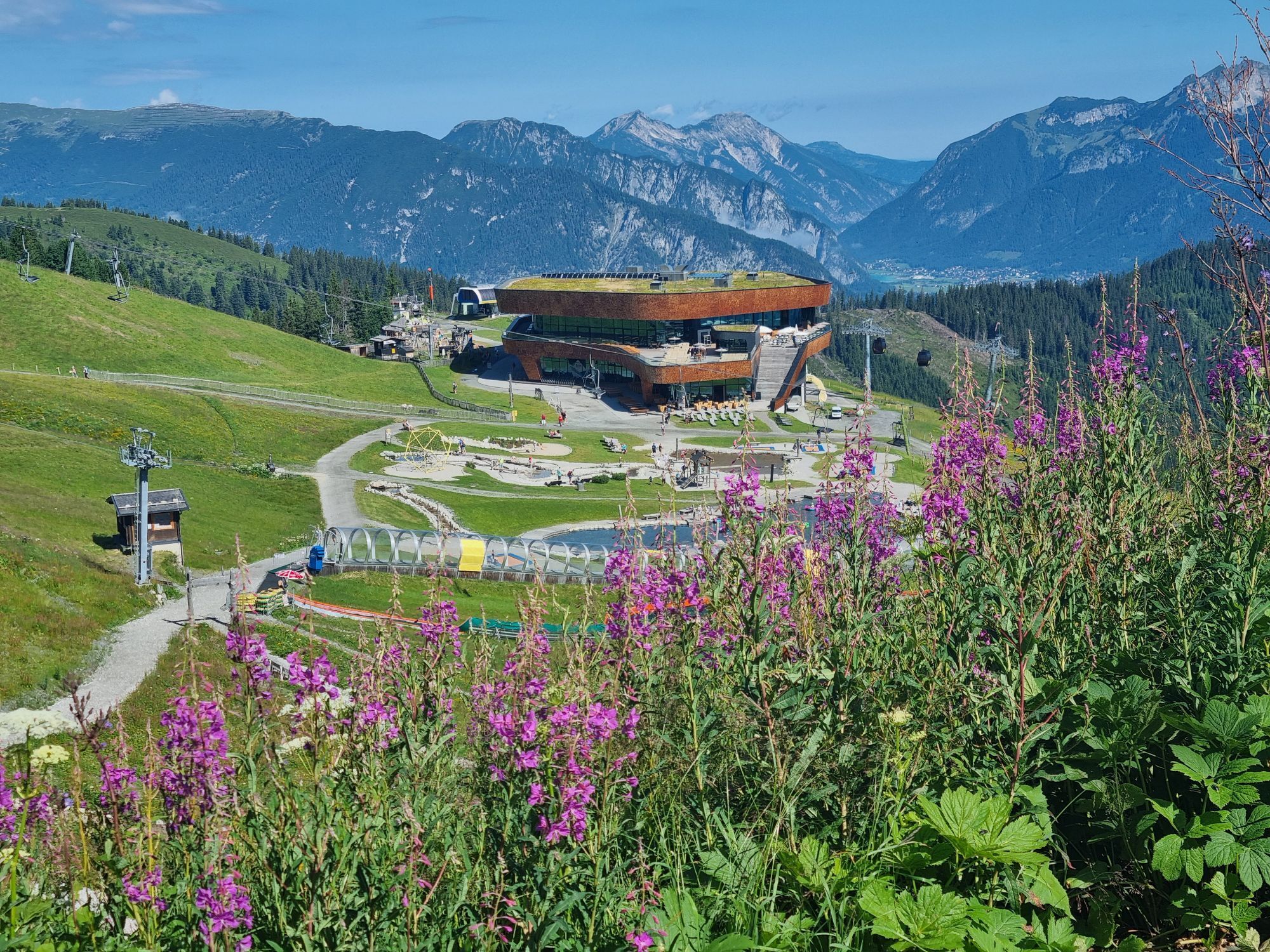
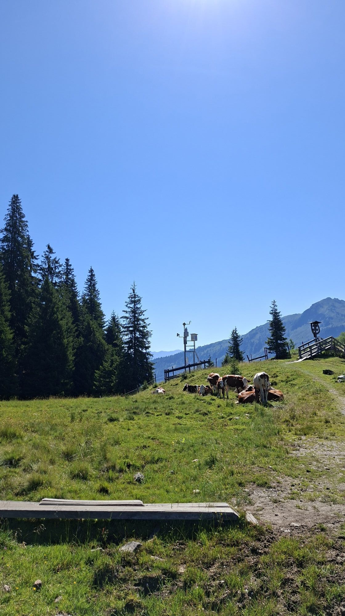
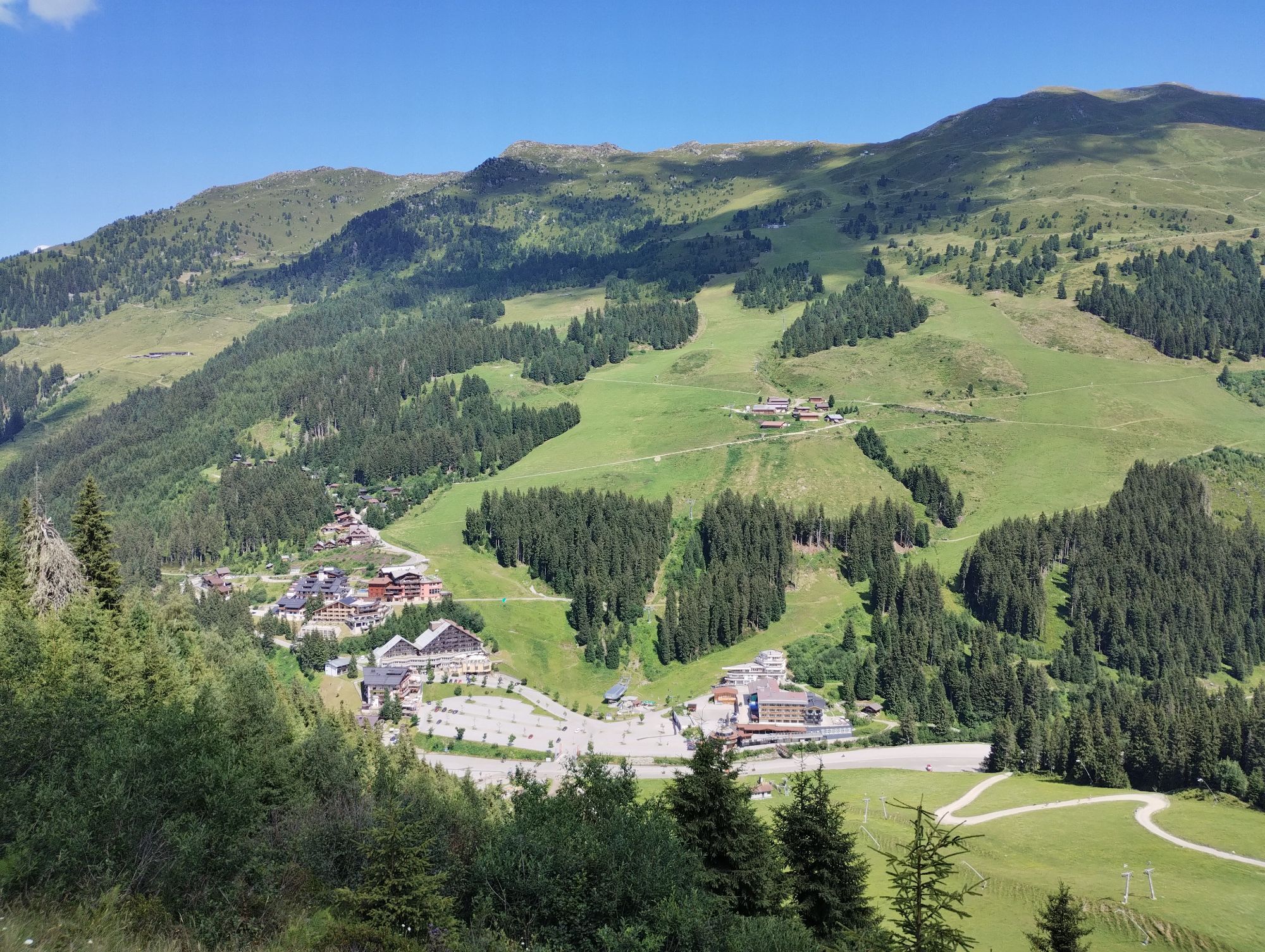
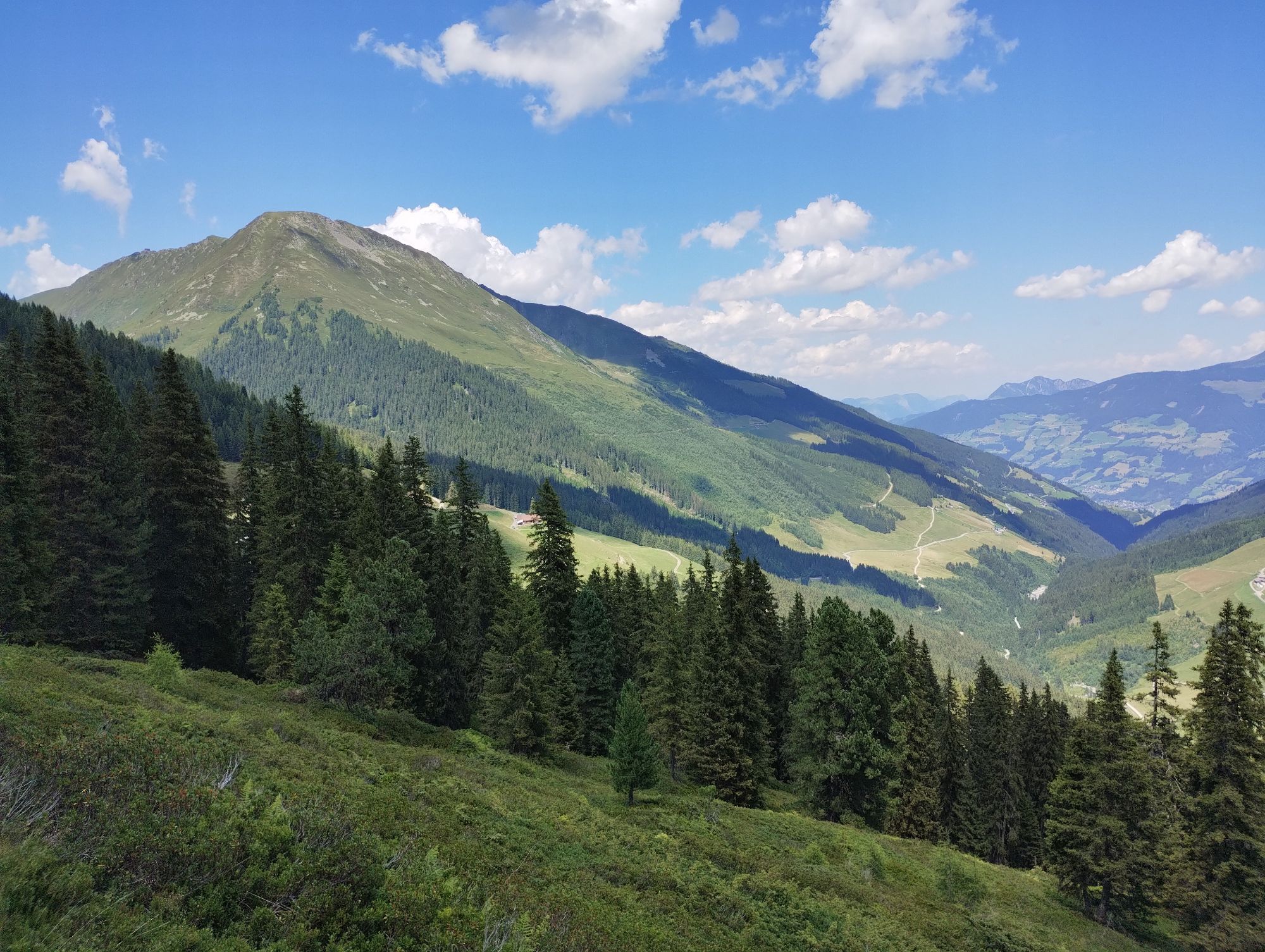
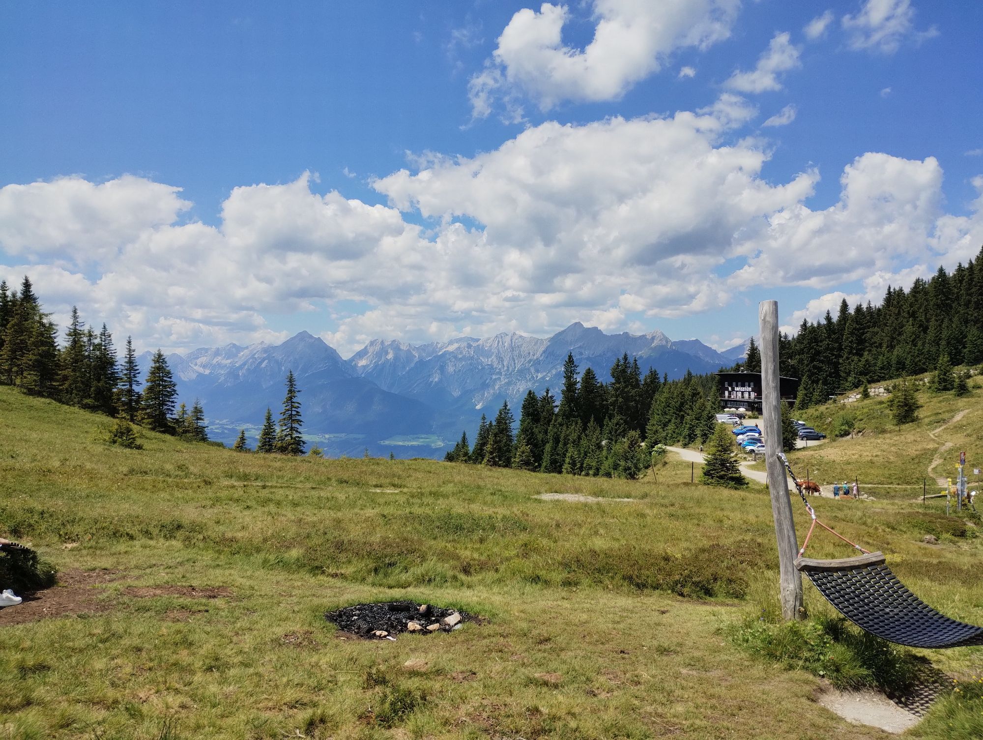
Take the gondola to the top station of the Spieljoch cable car. From the top station, the hiking trail leads to Spieljoch - from there it continues on the path to Geolsalm and then to Gartalm (1830 m high alpine pasture). Gartalm is a natural jewel. Cows and sheep graze daily in the pasture area. Golden eagles, chamois, marmots, and snow hares can be observed. The 400-year-old alpine hut still shows traces from the silver mining era. Mountain trail awarded by the Tyrolean state government. From Gartalm, the trail leads through treeless terrain to the Gamssteinhaus (Loassattel 1683 m) – past the Gamssteinhaus it goes towards Maschentalalm – Lamarkalm – and further on to Hochfügen. Of course, the hike can also be done in reverse direction from Hochfügen to the top station of the Spieljoch cable car. Take the bus to Hochfügen and the Spieljoch cable car back to Fügen.



Take the gondola to the top station of the Spieljoch cable car. From the top station, the hiking trail leads to Spieljoch - from there it continues on the path to Geolsalm and then to Gartalm (1830 m high alpine pasture)
Áno
Áno
sturdy and good footwear, drinks, backpack,
sturdy and good footwear, drinks, backpack,
by cable car, bus, and car
Parking spaces available at the Spieljoch cable car
Via Maschentalalm and Lamarkalm it goes to Hochfügen. 4 km gravel, 8 km forest trail
Round hiking ticket Spieljoch-Hochfügen



Webové kamery z prehliadky
-
Onkeljoch
-
Hochfügen - Waidoffen
-
Schwaz/Kogelmoos
-
Therme Fügen
-
Therme Fügen
-
Therme Fügen
-
Golfclub Zillertal - Uderns
-
Pillberg - Silberregion Karwendel
-
Pillberg - Silberregion Karwendel
-
Pillberg - Silberregion Karwendel
-
Pillberg - Silberregion Karwendel
-
Uderns Golfplatz
-
Spieljochbahn
-
Uderns Golfplatz
-
Uderns Golfplatz
-
Uderns Golfplatz
-
Uderns Golfplatz
-
Uderns Golfplatz
-
Klausboden Tal
-
Onkeljoch
-
Onkeljoch
-
Onkeljoch
-
Onkeljoch
-
Onkeljoch
-
Onkeljoch
-
Onkeljoch
-
Wimbach Express Berg
-
Wimbach Express Berg
-
Wimbach Express Berg
-
Wimbach Express Berg
-
Wimbach Express Berg
-
Hochfügen - Zillertal
-
Kellerjoch Speichersee
-
Kellerjoch Speichersee
-
Kellerjoch Speichersee
-
Kellerjoch Speichersee
-
Kellerjoch Speichersee
-
Kohlerhof - Fügen

Aktivity počas prehliadky


Obľúbené výlety v okolí
-
5,0
Loassattel - Kuhmesser - Kellerjoch - Kellerjoch Kapelle - Hochebenweg - Loassattel
strednáTuristika 8,70 km -
4,6
Den Panoramaweg um das Wiedersbergerhorn
Turistika 3,40 km -
4,8
Eben - Astenau Alpe - Ebner Joch - Eben
strednáTuristika 7,82 km -
4,7
Gratwanderung zum Standkopf 2.241 m
strednáVysoké turné 9,28 km -
3,6
Wolfsklamm-Stans
strednáTuristika 2,66 km -
4,4
Up to the Largoz
strednáTuristika 7,01 km -
4,9
4-Gipfel-Tour zum Gilfert
strednáTuristika 11,2 km -
4,9
Zwölferkopf - Bärenkopf - Zwölferkopf
strednáTuristika 6,80 km -
4,6
Rundwanderung zum Bärenkopf
strednáTuristika 16,2 km -
4,6
Wolfsklamm über Maria Tax
strednáTuristika 5,50 km

Turistika a stopovanie


Nenechajte si ujsť ponuky a inšpiráciu na ďalšiu dovolenku
Vaša e-mailová adresa bol pridaný do poštového zoznamu.


