






Arlberg Trail St. Anton - Stuben am Arlberg

Úroveň náročnosti: T2

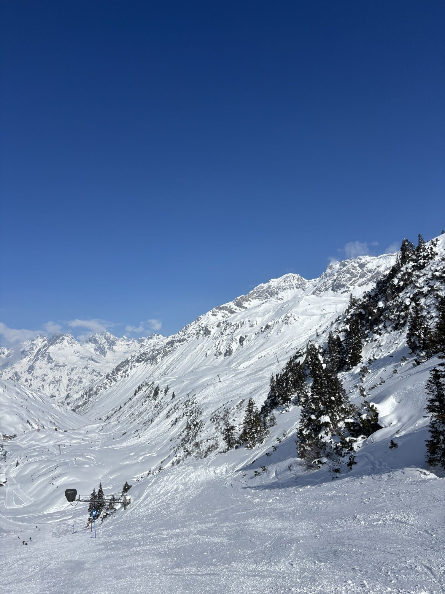


Sturdy footwear (ankle-high, with a treaded sole), rainwear, an Arlberg Trail ticket and a bus timetable.
140 Alpine Emergencies Austria-wide
144 Alpine Notfälle Vorarlberg
112 Euo emergency call (works with any mobile phone/network)
or: via Munich – Fern Pass – Landeck – to St. Anton am Arlberg
or: via Stuttgart – Bregenz – Feldkirch – Bludenz – Arlberg Pass or Arlberg Tunnel – to St. Anton am Arlberg
or: via Zurich – St. Gallen or Sargans, Feldkirch – Bludenz – Arlberg Pass or Arlberg Tunnel to St. Anton am Arlberg
St. Anton am Arlberg is a Railjet station. The station is located in the town centre. Numerous major international express trains – including the Venice-Simplon Orient Express – stop at St. Anton am Arlberg.
T2
www.arlbergtrail.com
The Arlberg Trail Ticket covers all mountain railways along the long-distance hiking trail and is valid for the entire summer season.
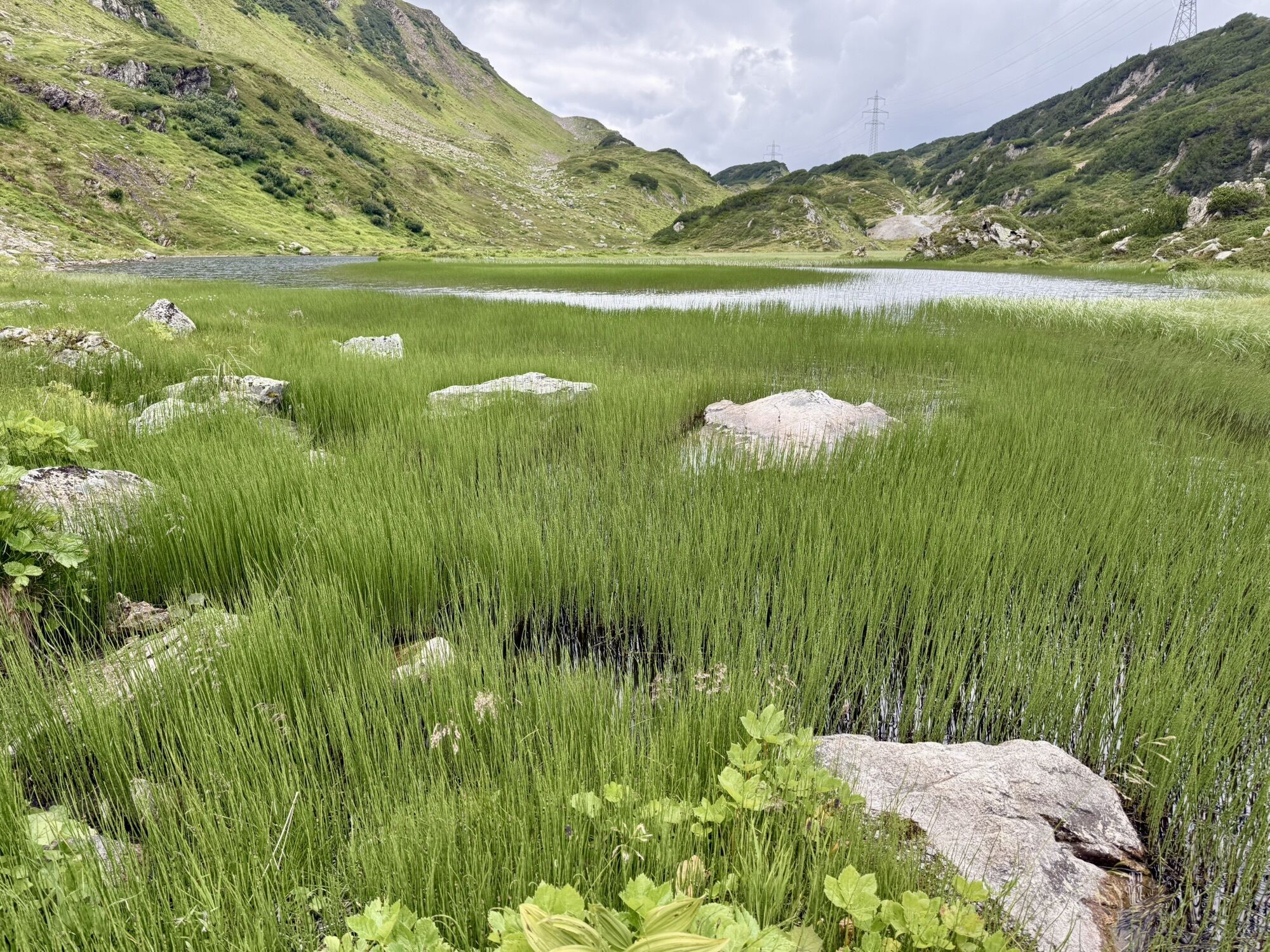
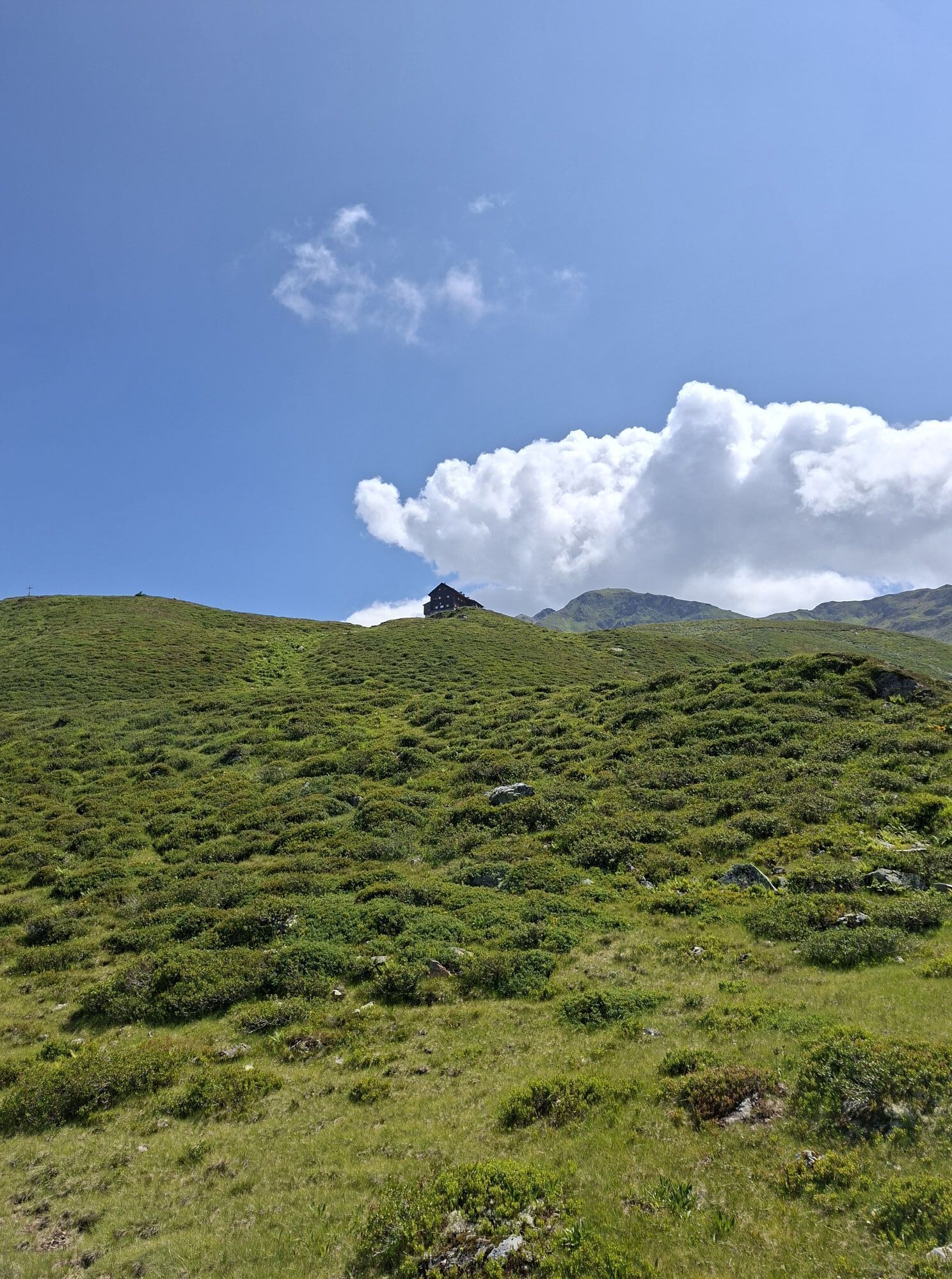
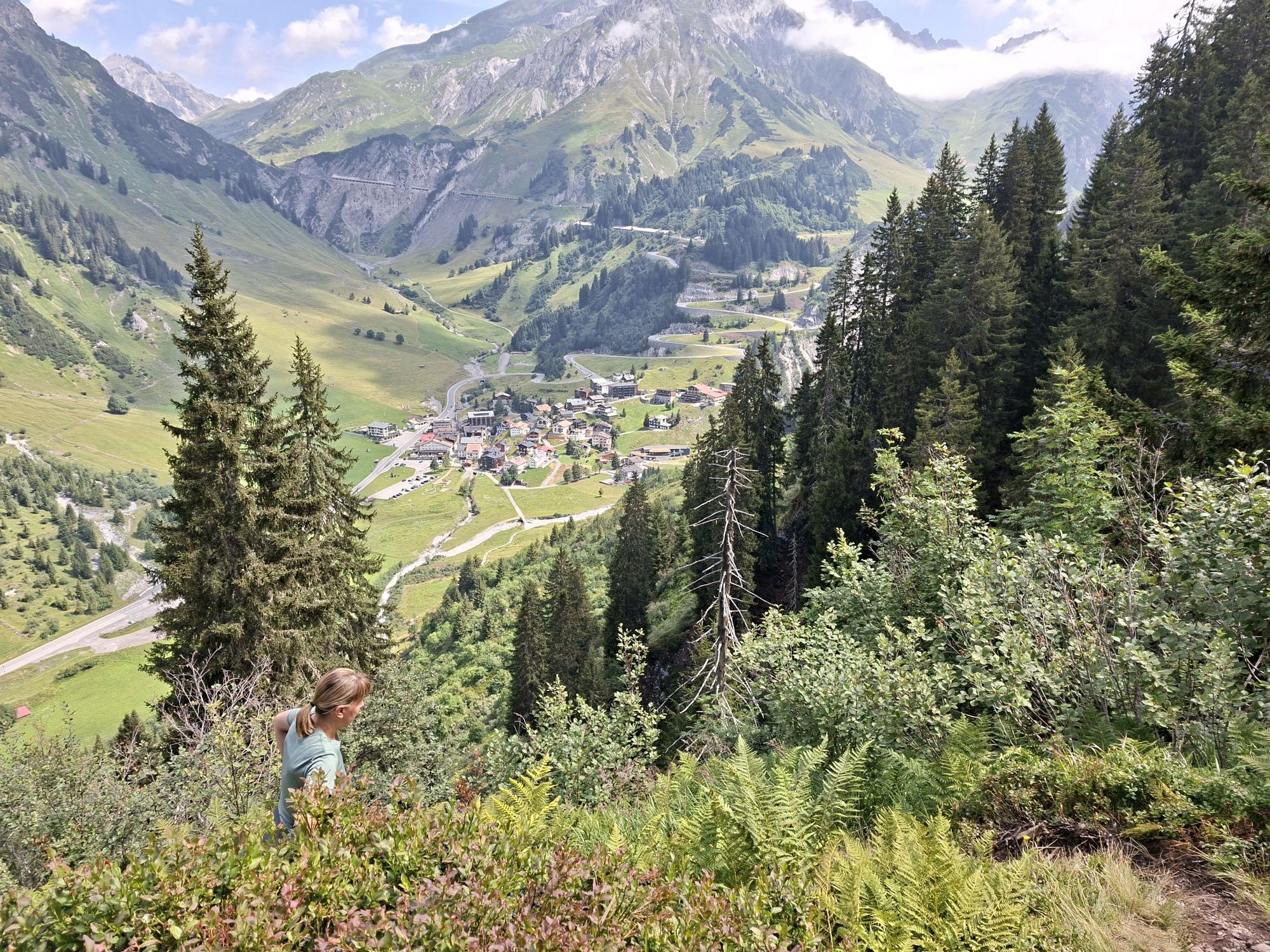
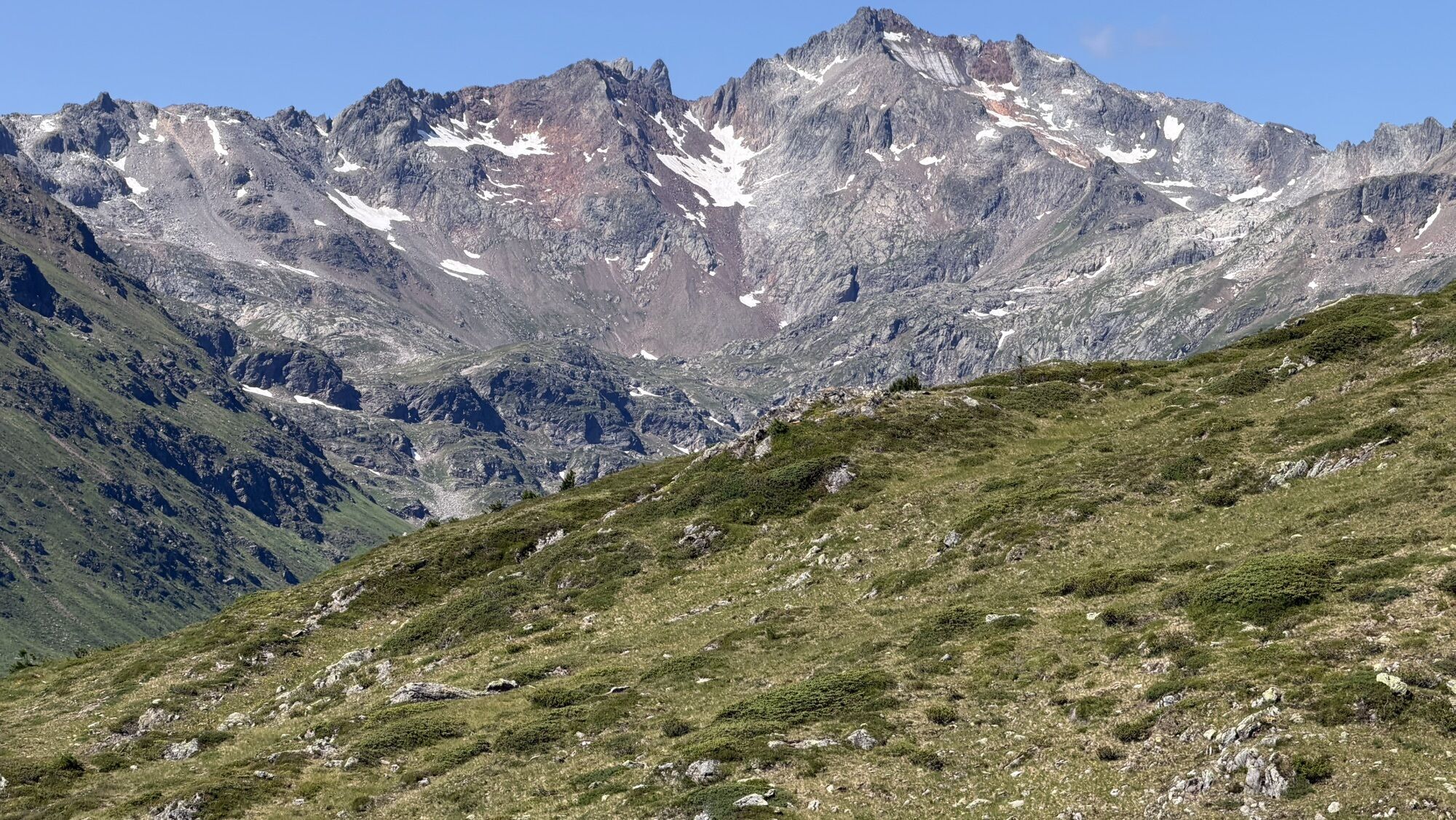
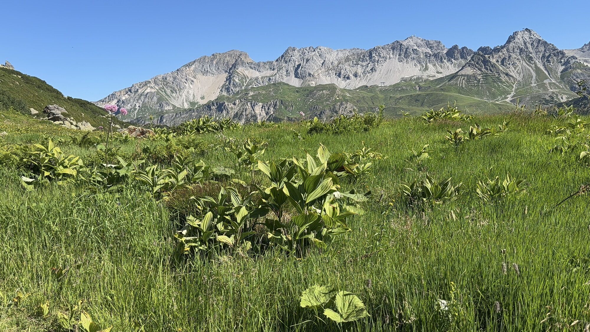
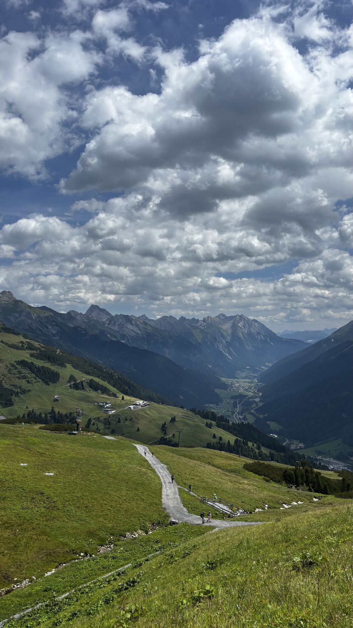
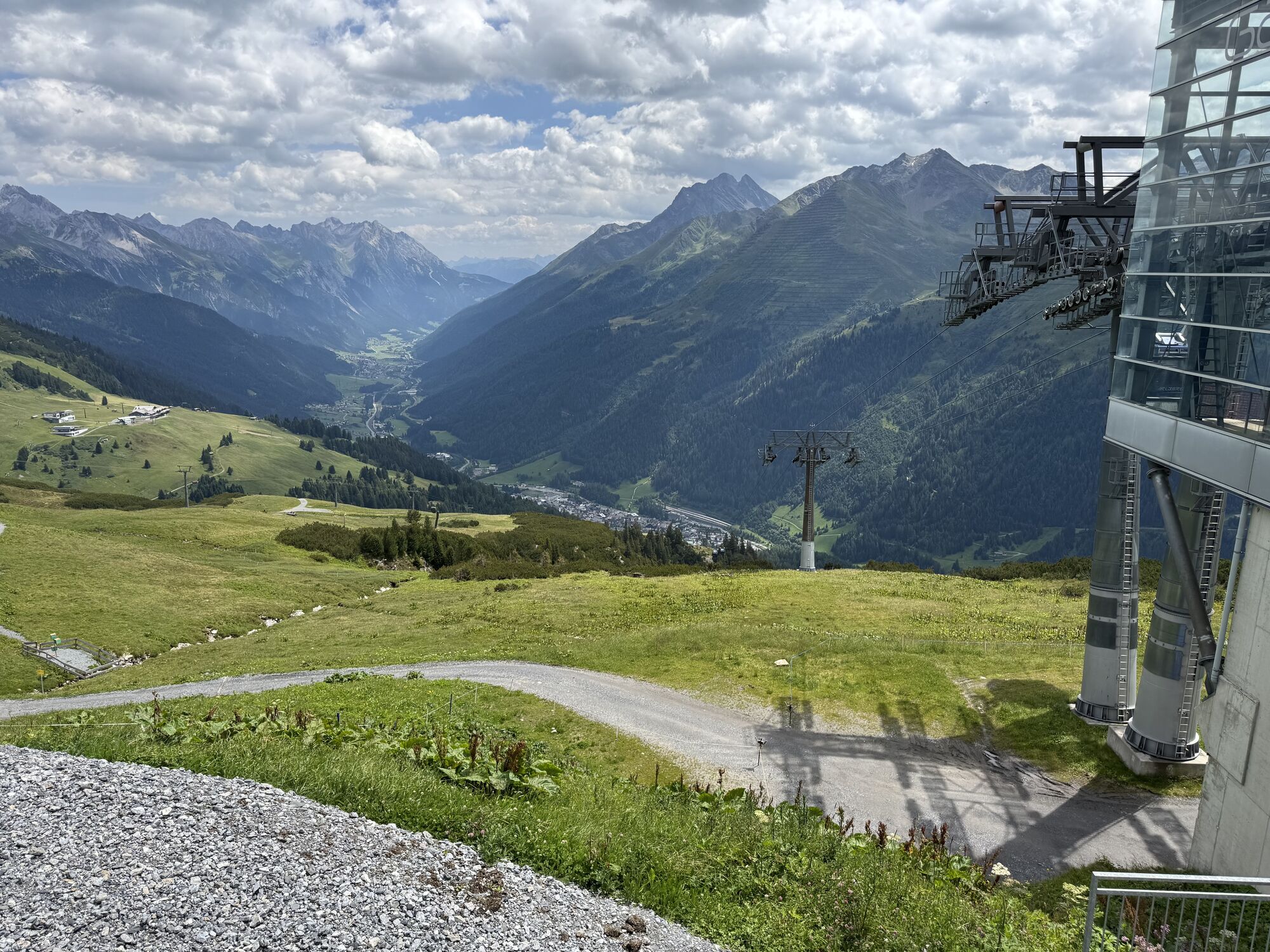
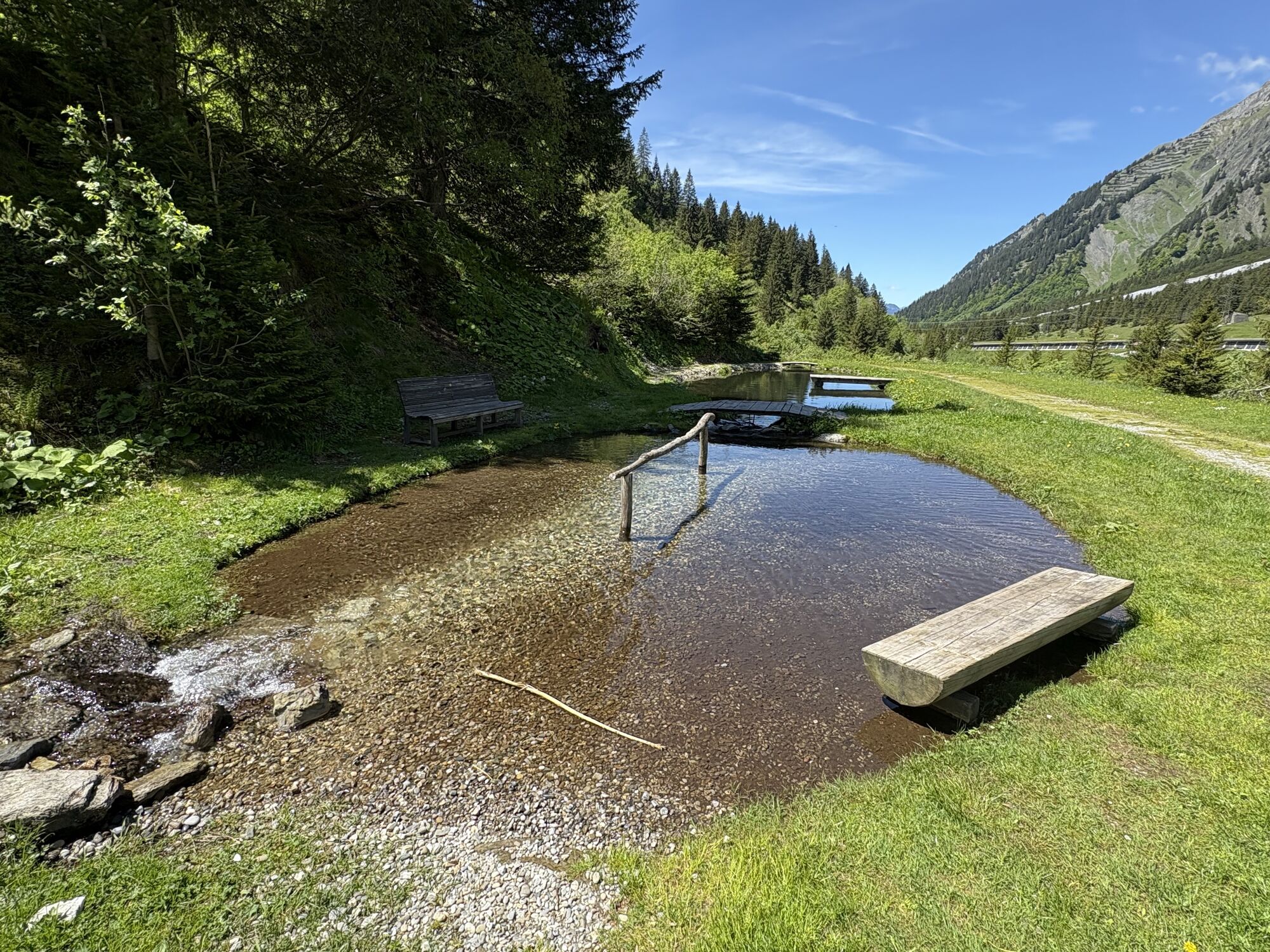
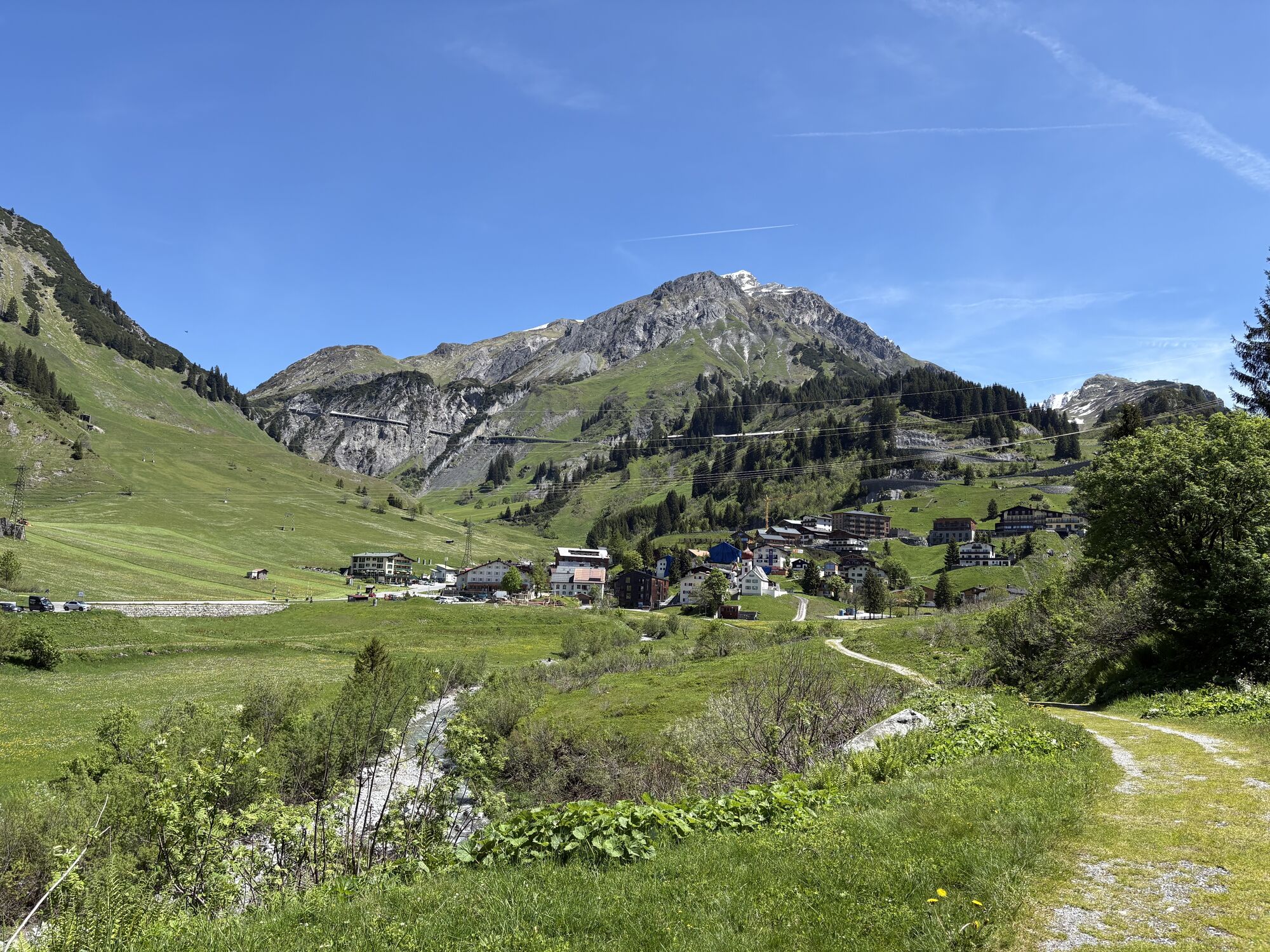
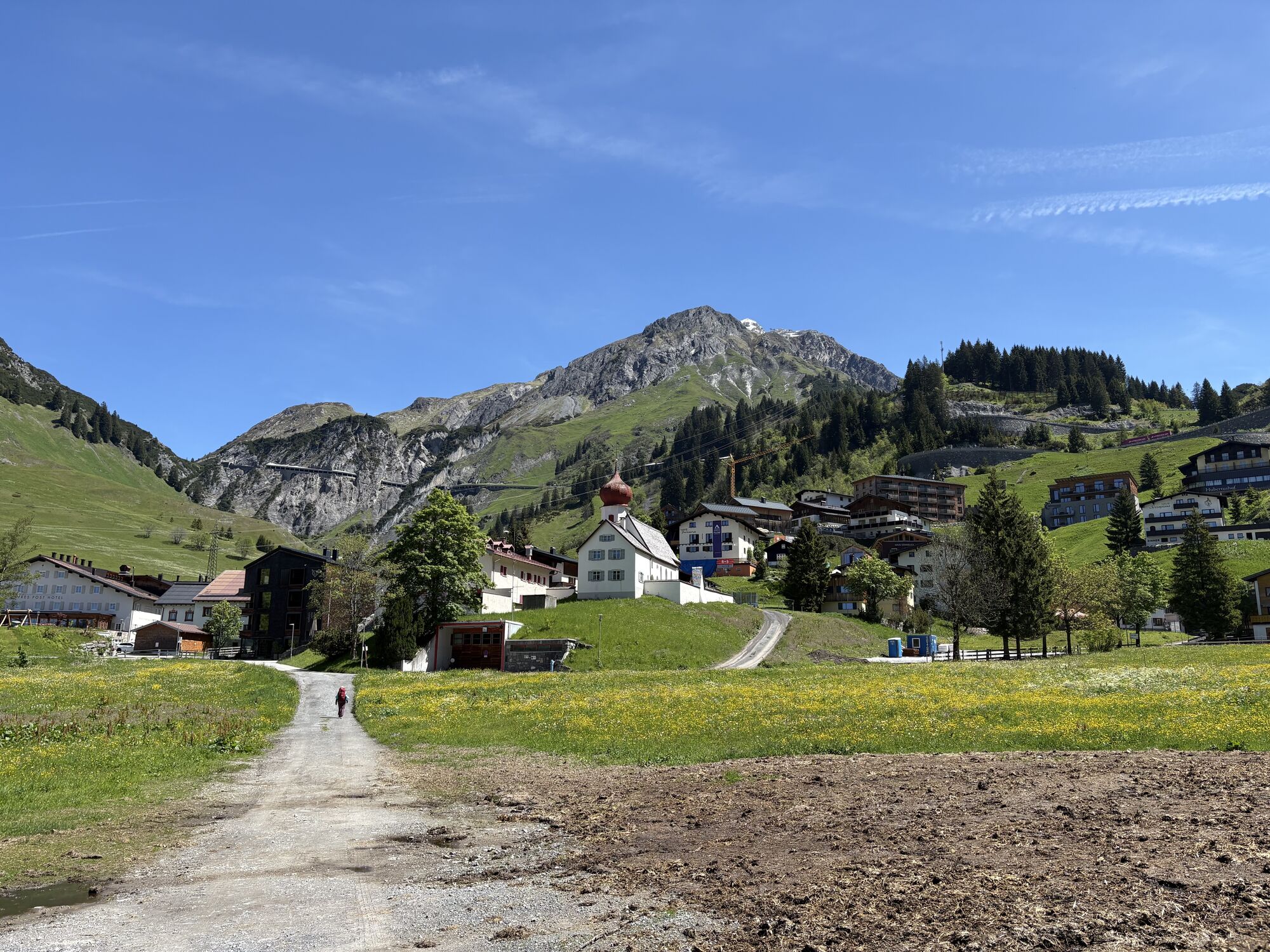
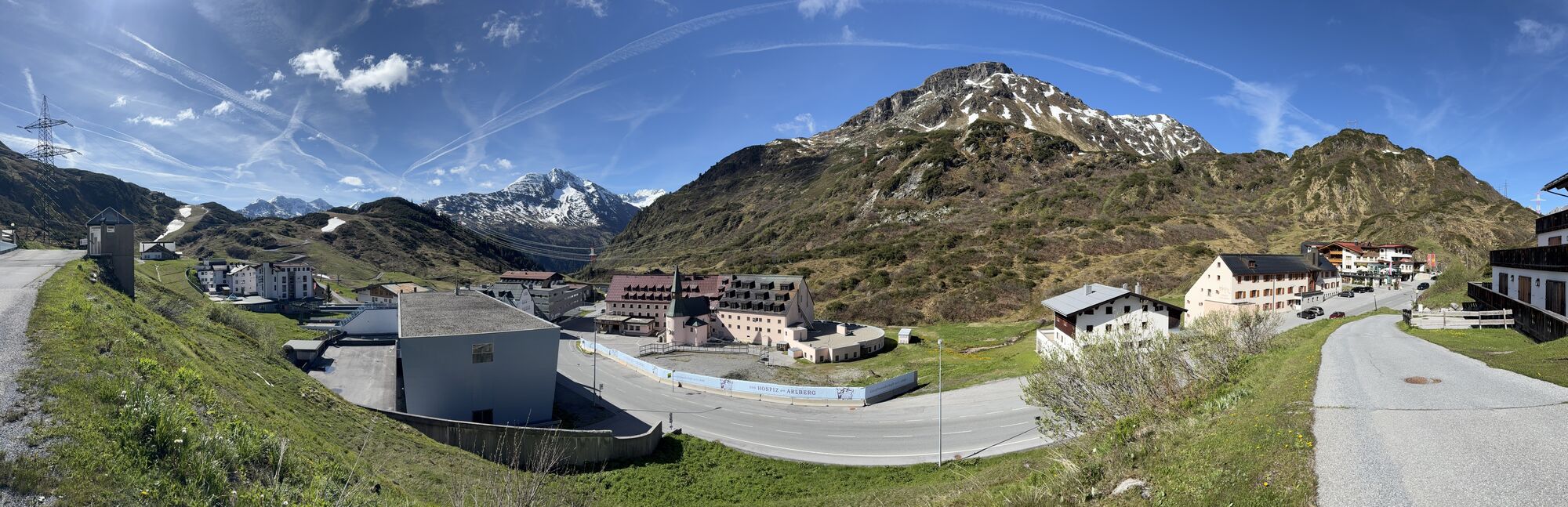
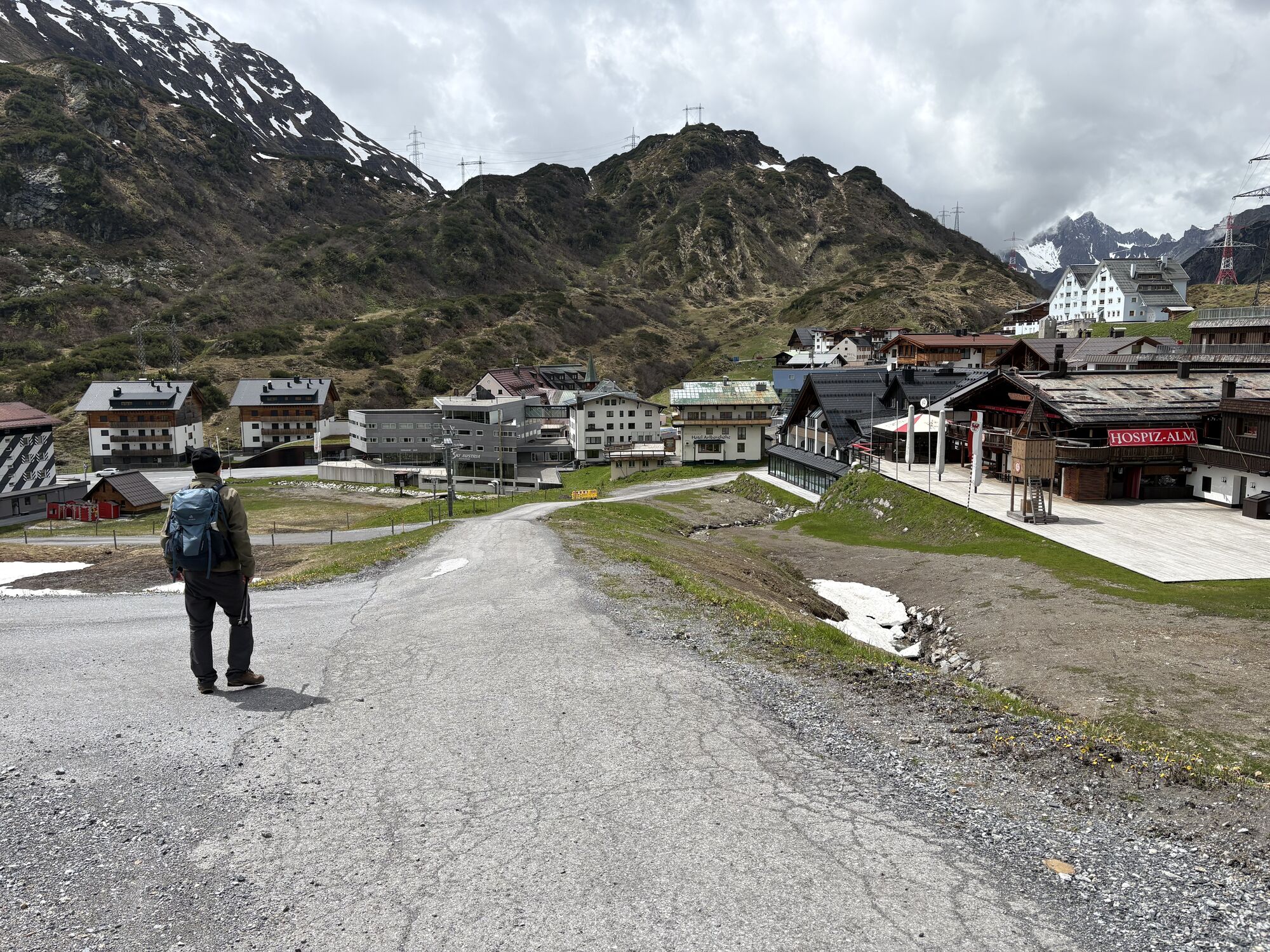
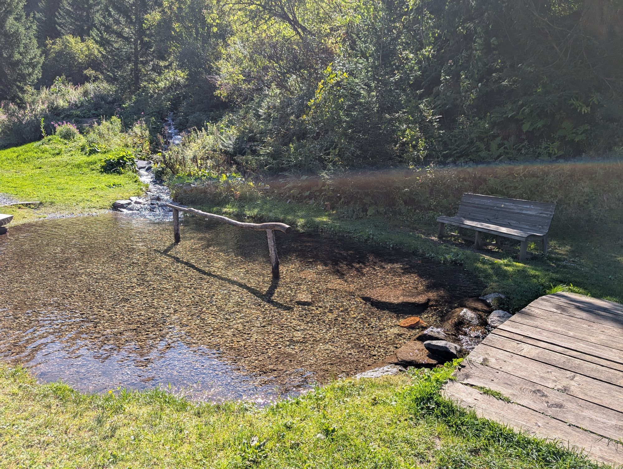
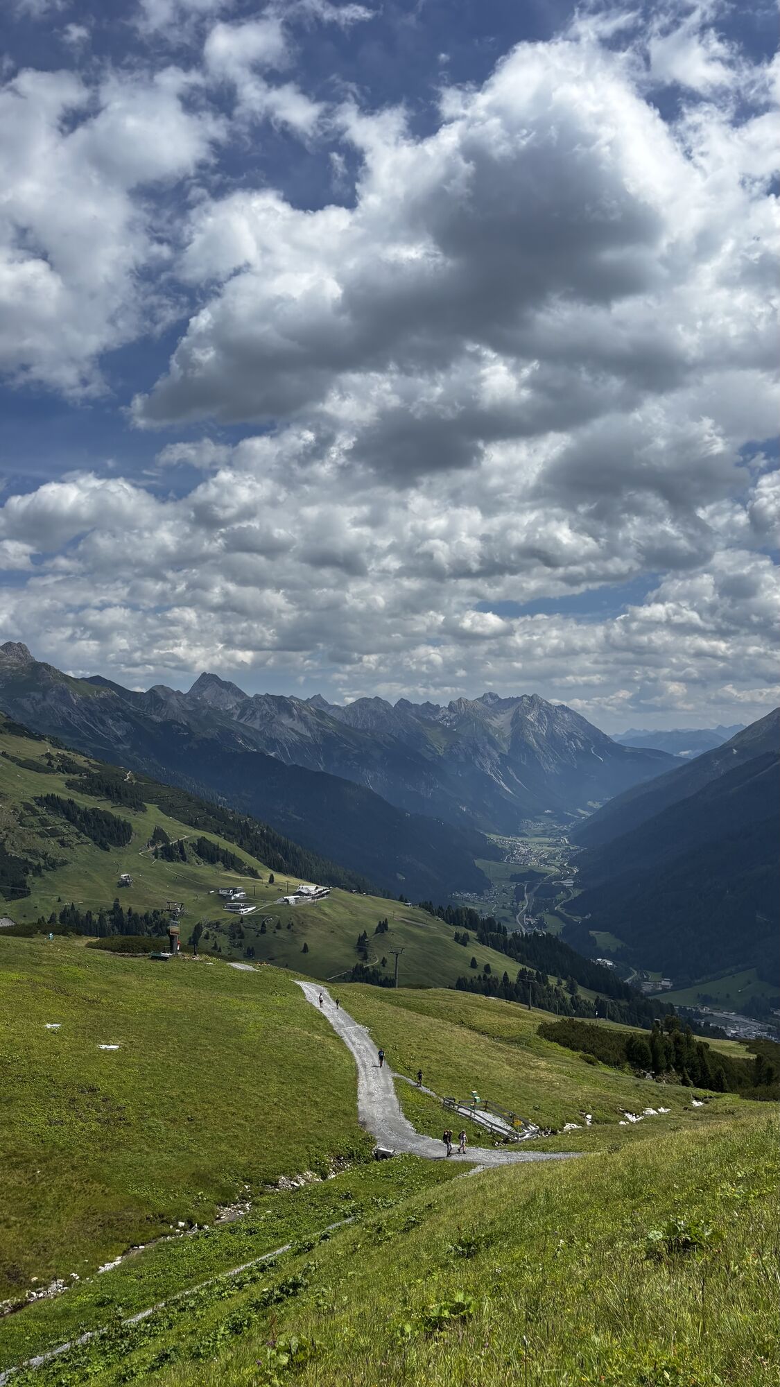
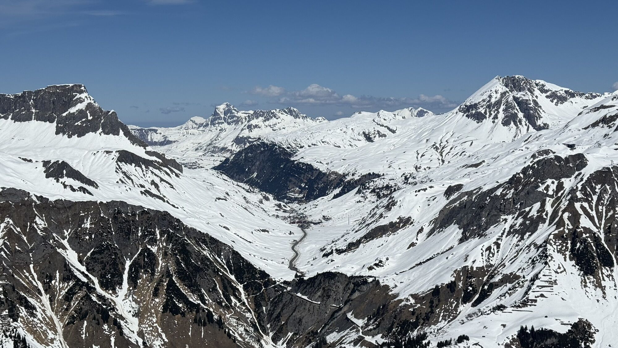
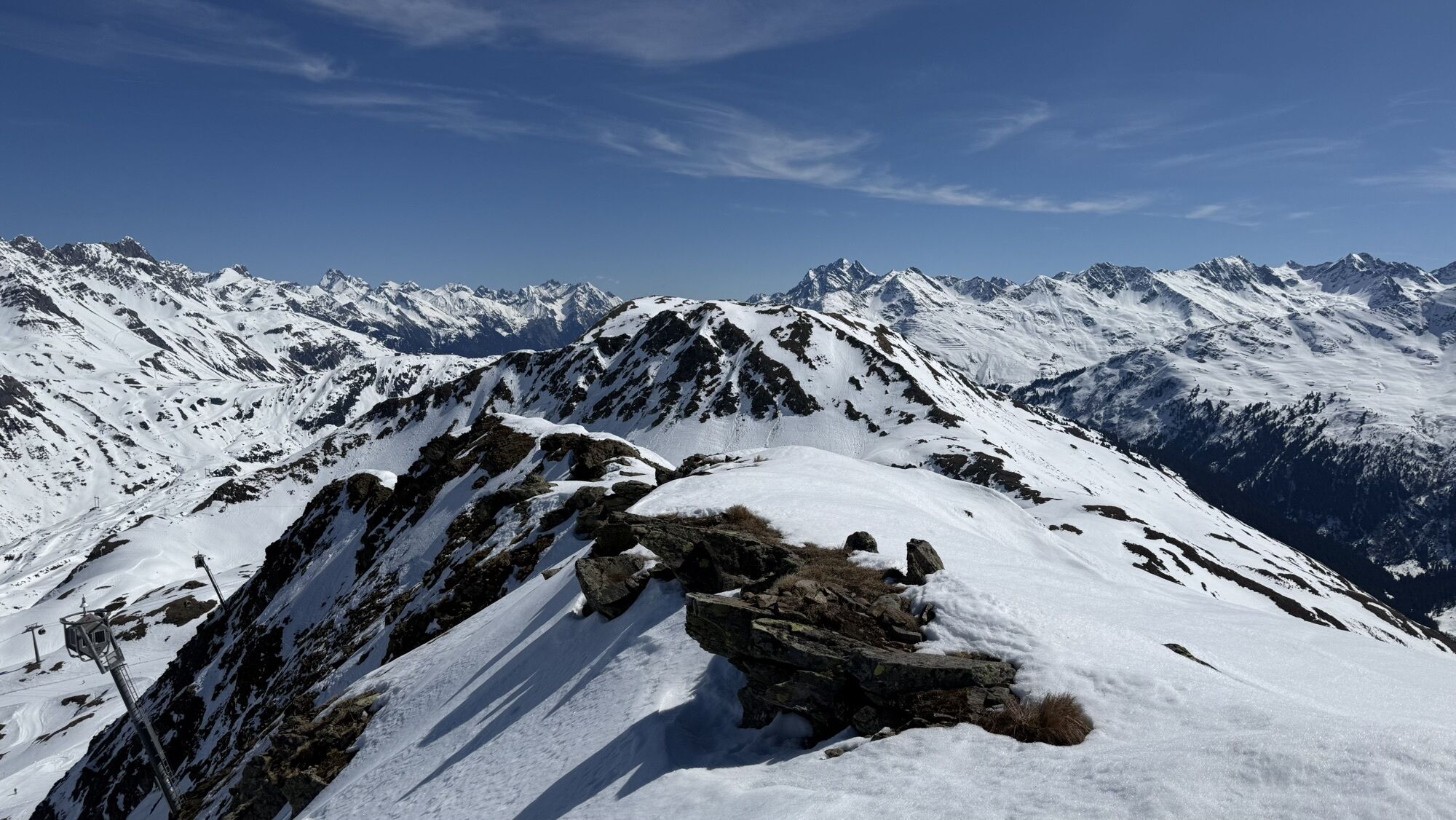
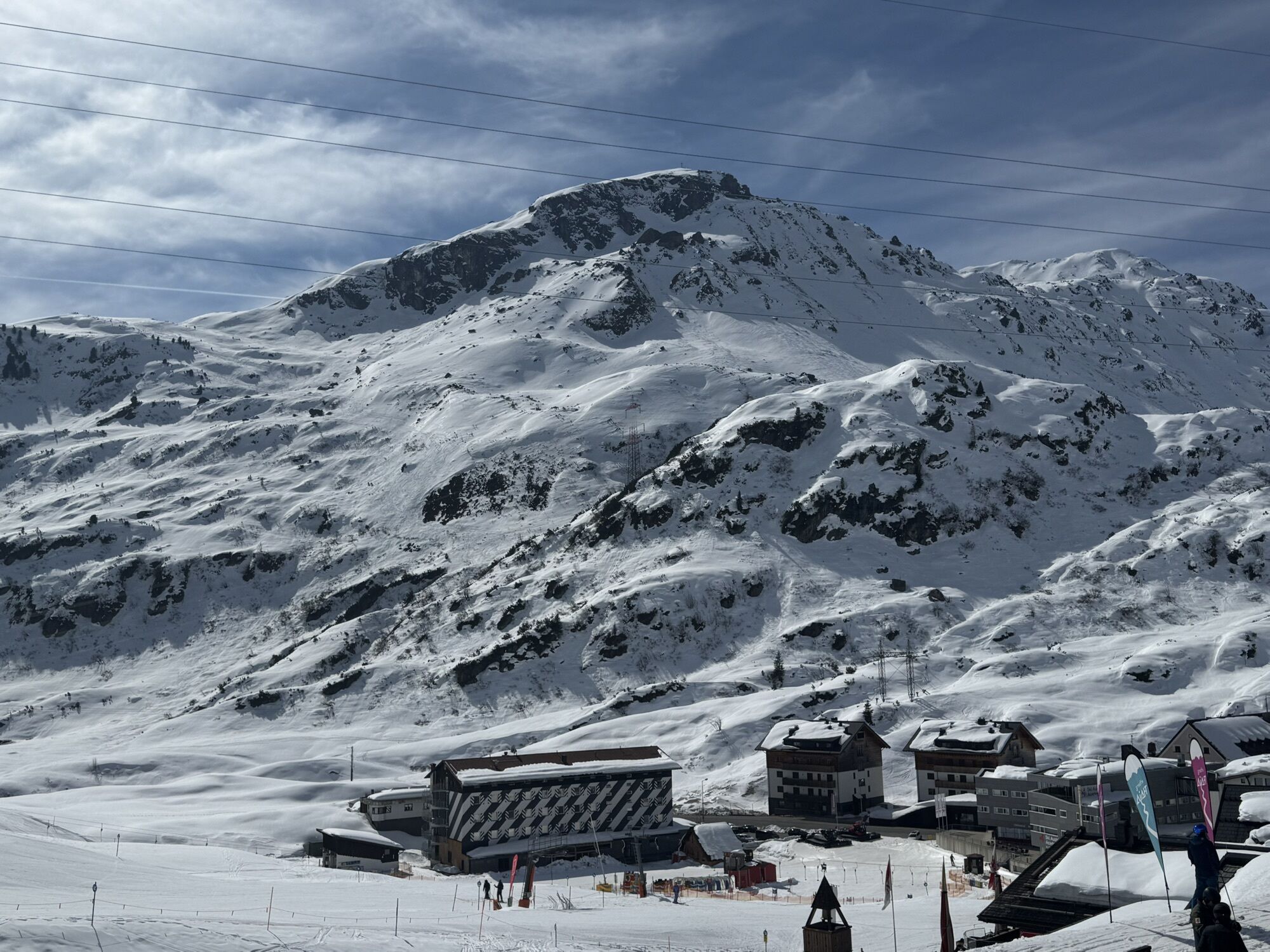
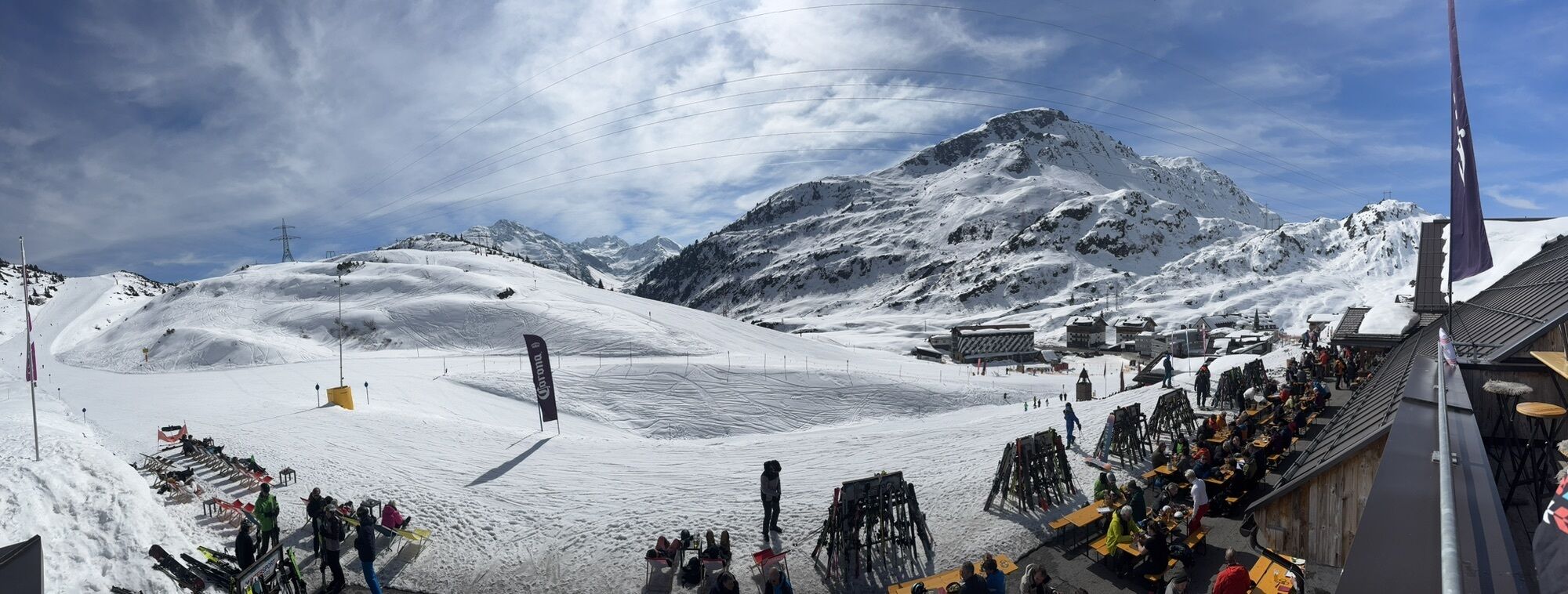
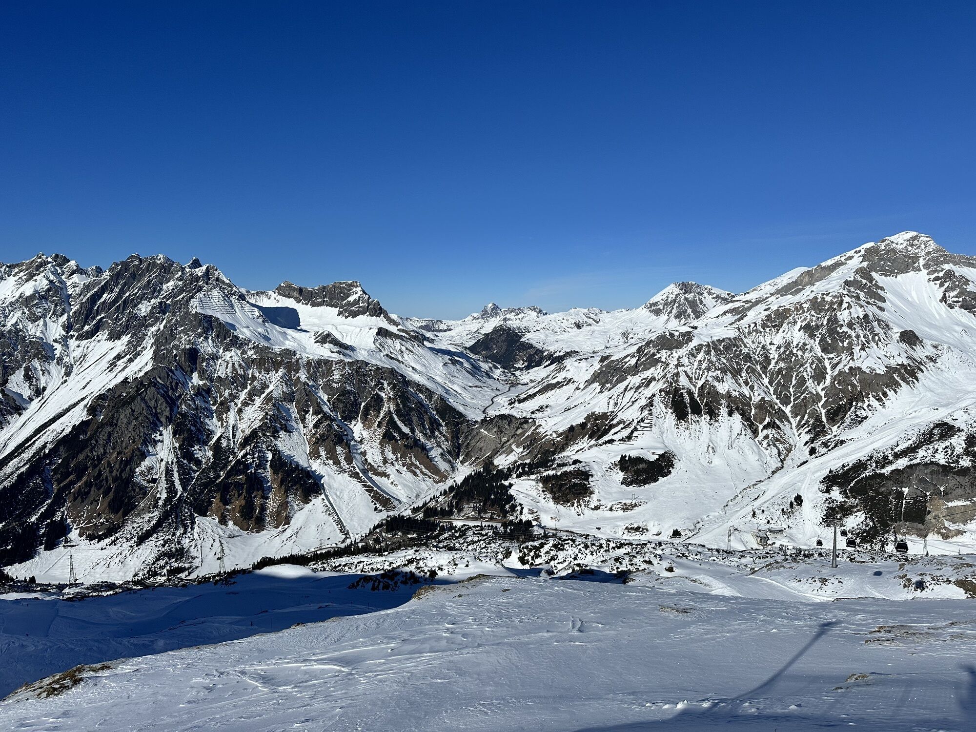
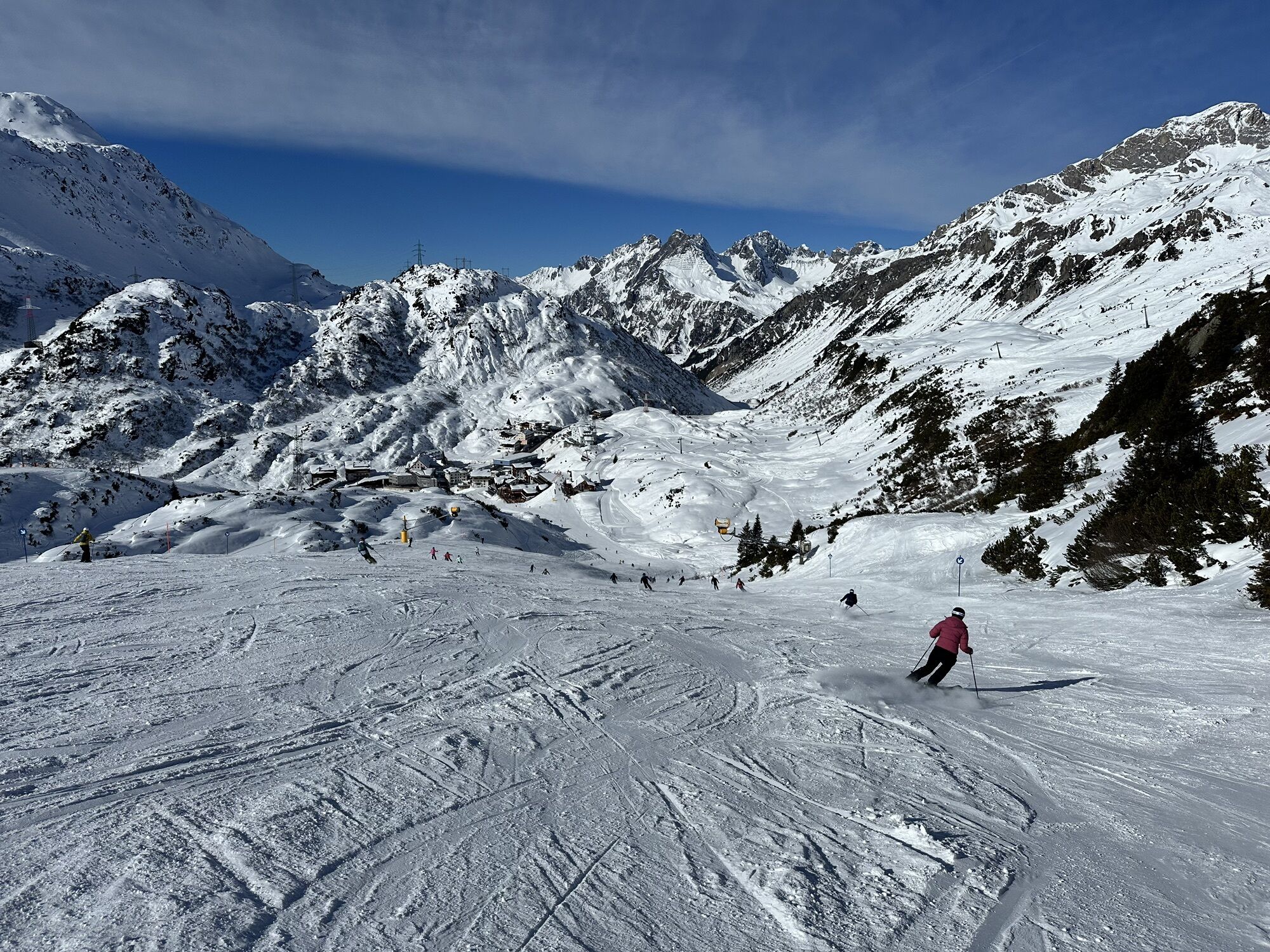
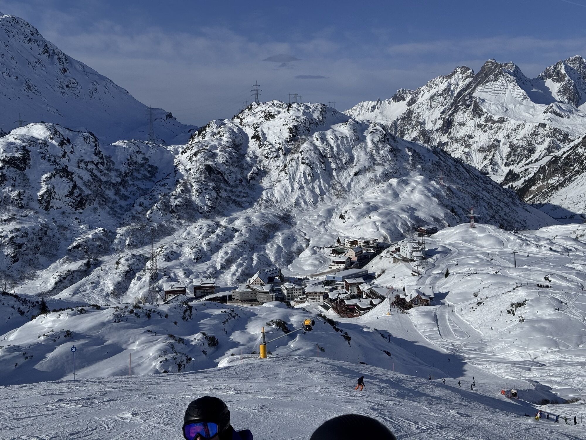
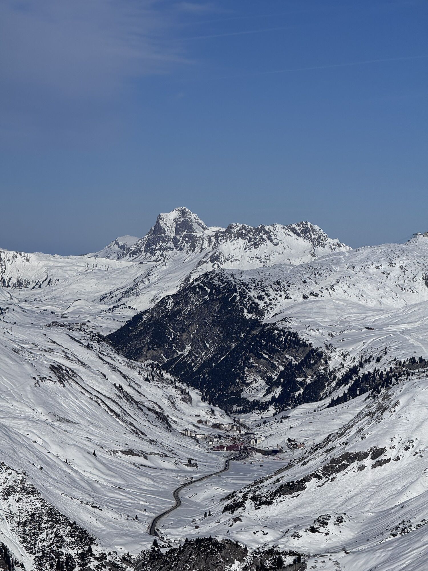
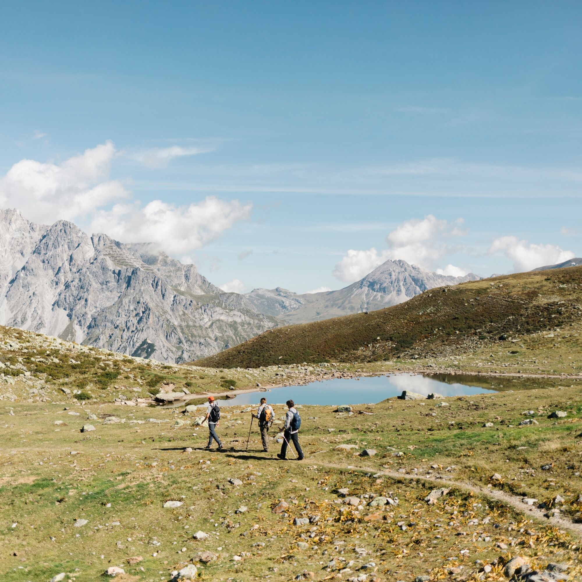
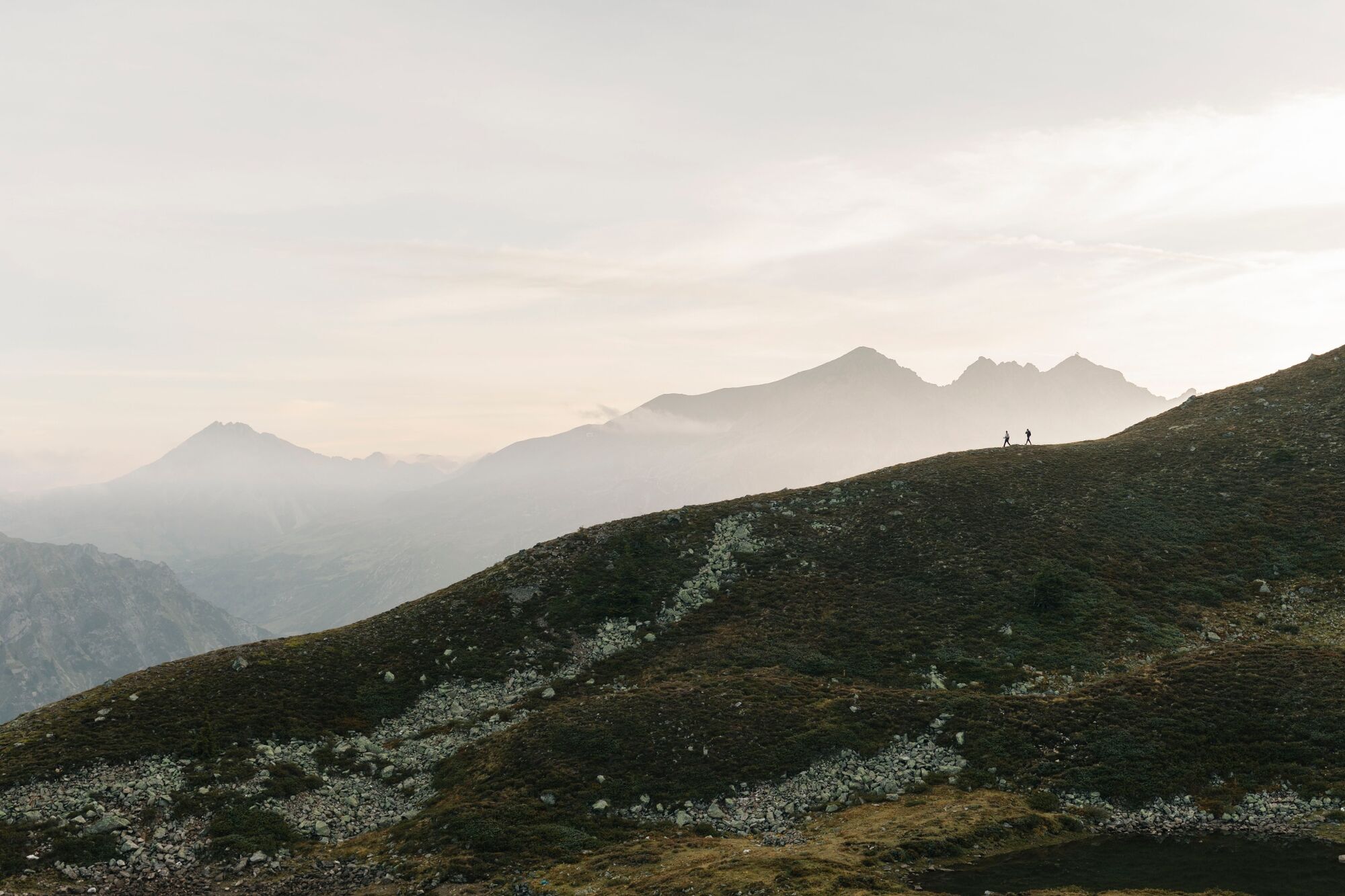
Highlights: The “Berggeistweg” from St. Christoph to the Kaltenberghütte is one of the most beautiful panoramic trails in the Arlberg region. Along the descent to Stuben, you will come across “Stubner See” – a hidden and mysterious moorland lake.
Alternative route: St. Anton – Rosanna Gorge – Maienweg – Arlberg Pass – Stuben
Places to stop for refreshments: Restaurants at Galzig, St. Christoph am Arlberg, Kaltenberghütte and restaurants in Stuben am Arlberg
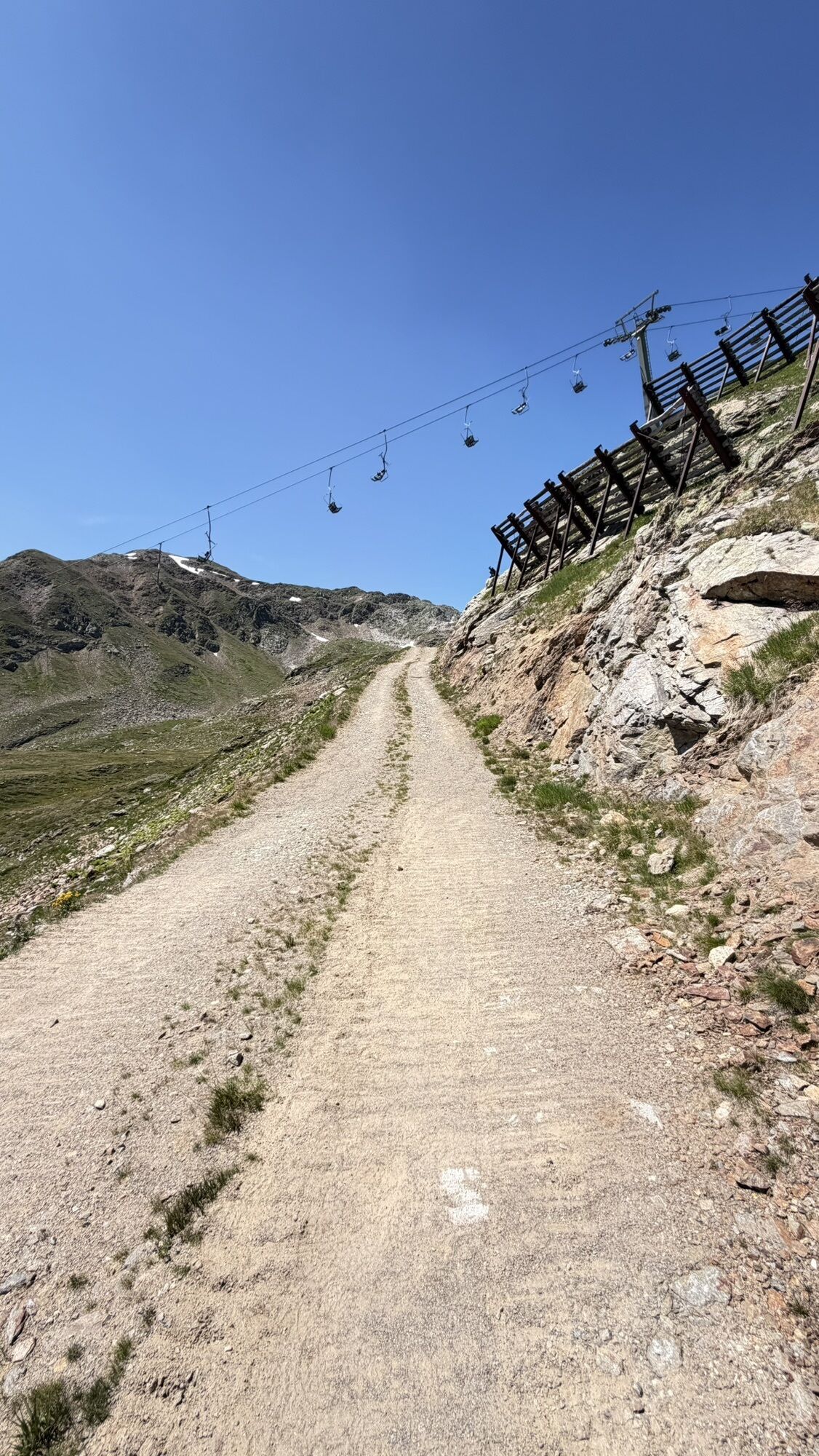
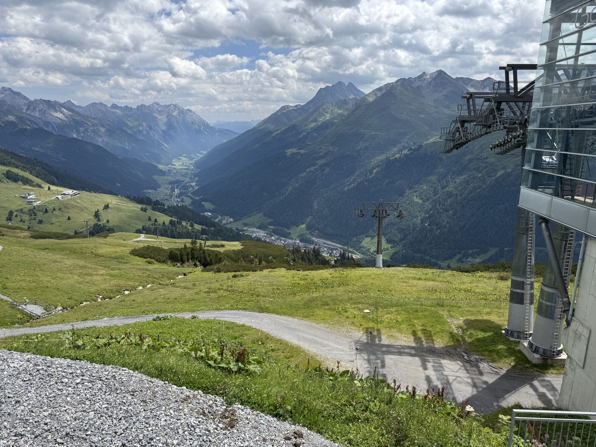
Lifts required: Galzigbahn

Webové kamery z prehliadky

Aktivity počas prehliadky
-

Sankt Anton am Arlberg, Tirol/Österreich
25.08.2026 – Turistika -

St. Christoph, Tirol/Österreich
18.08.2026 – Turistika -
Sankt Anton am Arlberg, Tirol/Österreich
03.08.2026 – Turistika -
Klösterle, Vorarlberg/Österreich
27.07.2026 – Horská turistika -
St. Christoph, Tirol/Österreich
12.07.2026 – Turistika
Obľúbené výlety v okolí
-
4,7
Kristberg - Wasserstubental - Silbertal
svetloTuristika 13,8 km -
4,8
Heilbronner lodge
strednáTuristika 13,0 km -
4,1
Stuben - Stubner See - Kaltenberghütte - Stuben
strednáTuristika 9,90 km -
4,9
Alpgues Runde
strednáTuristika 9,21 km -
4,9
Braunarlspitze
ťažkéTuristika 16,6 km -
4,2
St Anton zur Darmstädter Hütte
ťažkéMountainbike 28,4 km -
4,5
Sonnenkogel - Friedrichshafener lodge
strednáTuristika 13,2 km -
4,7
From Klostertal over the Muttjöchle back to Montafon
strednáTuristika 6,70 km -
4,7
Hoher Riffler from Pettneu
strednáSkitour 20,1 km -
4,2
Lechweg Etappe 1
svetloTuristika 14,0 km
Turistika a stopovanie


Nenechajte si ujsť ponuky a inšpiráciu na ďalšiu dovolenku
Vaša e-mailová adresa bol pridaný do poštového zoznamu.





