







Mittersill: Kuhkaser

From Waldwirt, it goes steadily slightly uphill along forest roads and idyllic forest paths. After about 2 hours you reach the Schöntagweitalm, from where you can enjoy the wonderful distant view for the...
From Waldwirt, it goes steadily slightly uphill along forest roads and idyllic forest paths. After about 2 hours you reach the Schöntagweitalm, from where you can enjoy the wonderful distant view for the first time.
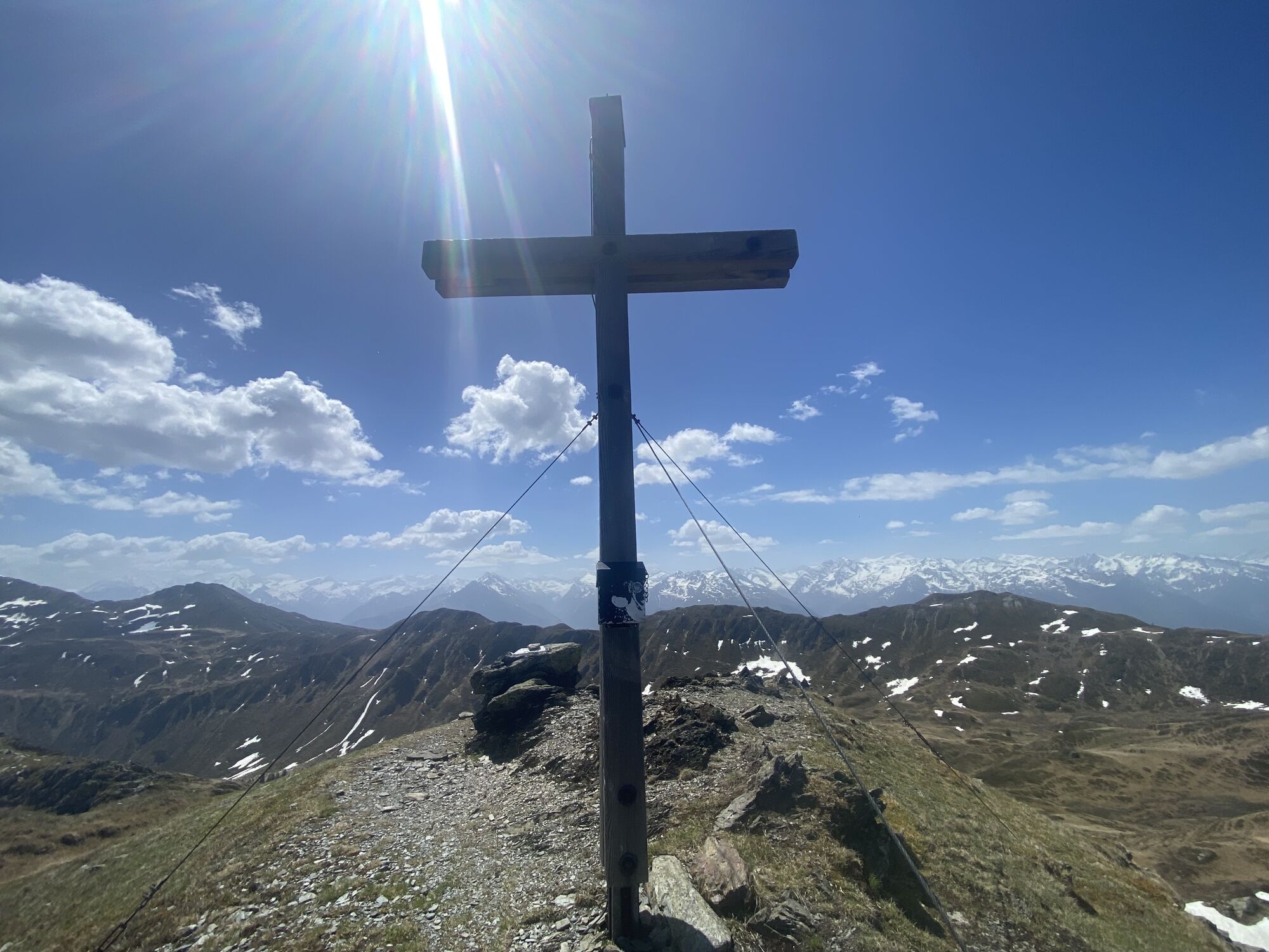
Then be quiet, because the area you are crossing is a habitat for red deer and chamois. It is not unlikely that you can observe one of these animals at least from a distance. On well-marked paths, it is then just over an hour to the summit of Kuhkaser at 2054 meters.
On clear days, even without binoculars, you can see Austria's highest mountain, the Großglockner, and the Hohe Tauern with their glacier world, which always amazes every hiker.

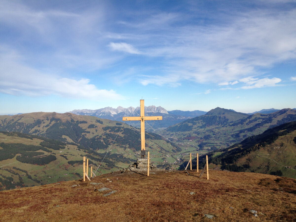
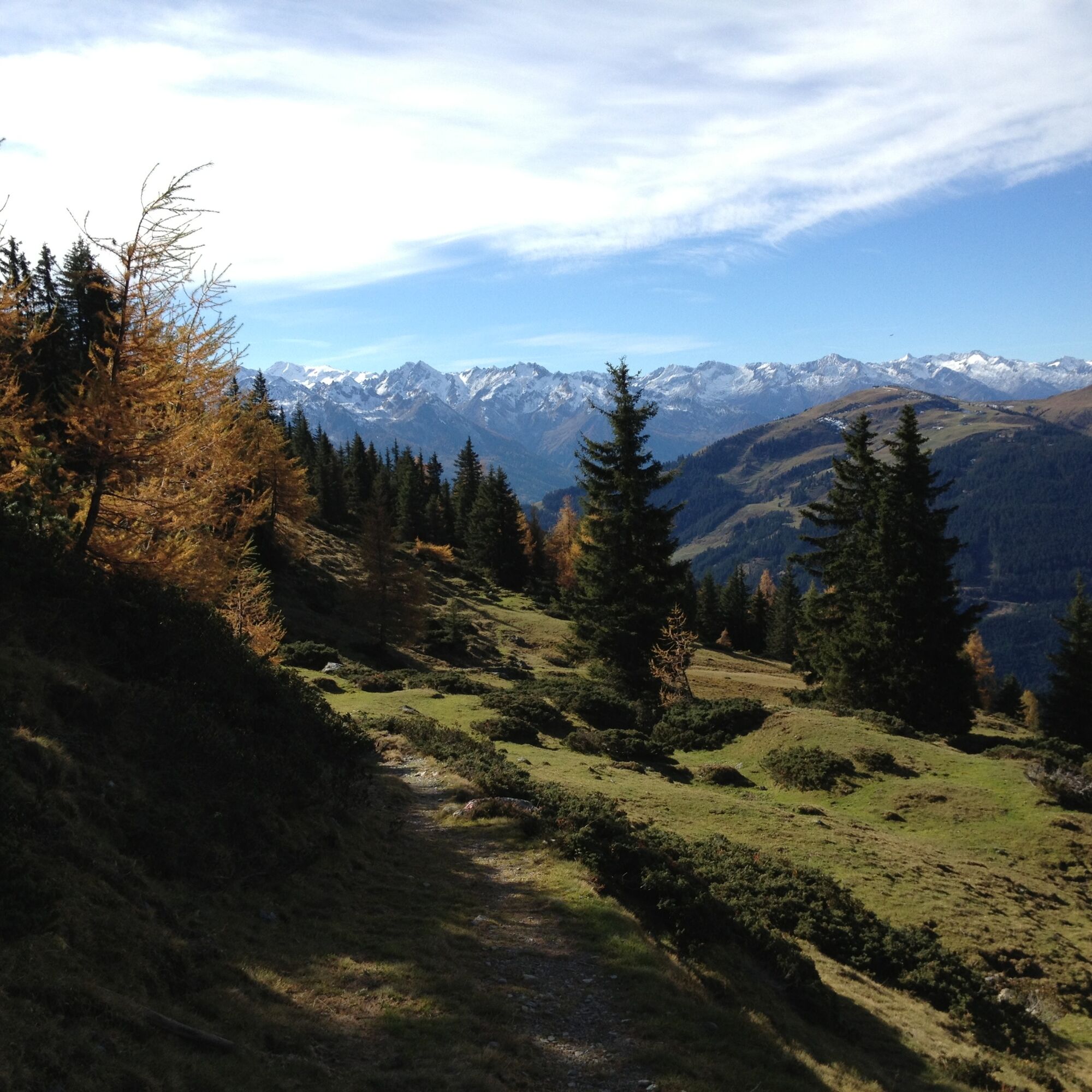
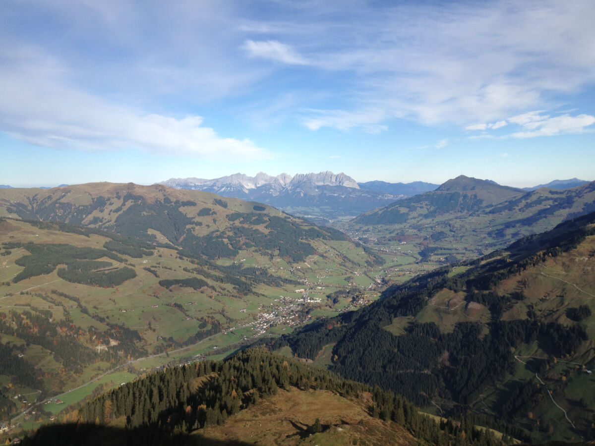

From the Waldwirt parking lot, follow the signs for the first few hundred meters towards Jochberg and at the next fork in the path, follow the signs towards Kuhkaser. The hiking trail leads to the Schönbergweidalm via a well-constructed alpine road. Only at the alpine pasture does the path gradually become more of a mountain hiking trail, which then takes us to the summit of Kuhkaser.
Áno
Áno
Ankle-high mountain boots, weatherproof clothing, hiking map, sufficient drinking water, and a snack are required.
A basic level of surefootedness is required.
Drive along Pass Thurn road towards Jochberg. After the pass summit, a few curves downhill, Waldwirt is located on the right side.
The Mittersill-Hollersbach-Stuhlfelden region is very well accessible by the Pinzgauer Lokalbahn and ÖBB buses.
The easiest way to get there is by regional bus 4010 from Mittersill to the Jochbergwald stop.
Timetable information and downloads: online at www.salzburg-verkehr.at or on your smartphone via the free SalzburgVerkehr app for Android and iOS.
There are some parking options at the Waldwirt parking lot.
Mittersill Plus GmbH, Zeller Straße 2, 5730 Mittersill, Tel. +43(0) 6562 4292
With a bit of luck, at Kuhkaser you will not only discover impressive viewpoints but also the majestic capercaillies native to the area!

Webové kamery z prehliadky

Obľúbené výlety v okolí
-
3,7
Smaragdwanderweg Habachtal/Bramberg
svetloTuristika 7,17 km -
4,8
Streif Wanderweg
strednáTuristika 5,73 km -
4,2
Panoramarundweg am Hahnenkamm
svetloTuristika 3,02 km -
4,7
Hollersbach - Neue Fürther Hütte
Turistika 16,0 km -
4,1
Brechhorngipfel (2.037m)
strednáTuristika 11,7 km -
4,7
Panorama route 3 peaks and 2 lakes
strednáTuristika 7,21 km -
4,5
Kitz Bhf- Kitzbühler Horn und zurück zum Alpenhaus
strednáTuristika 11,8 km -
4,7
Tristkogel
ťažkéTuristika 15,6 km -
4,8
Fieberbrunn- Wildseeloderhaus- Rund um die Henne/Hochhörndlehütte
strednáTuristika 8,02 km -
4,7
Frühmesser
strednáTuristika 10,6 km

Turistika a stopovanie


Nenechajte si ujsť ponuky a inšpiráciu na ďalšiu dovolenku
Vaša e-mailová adresa bol pridaný do poštového zoznamu.





