


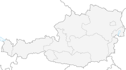


Hoch-Tirol-Trail Stage 3

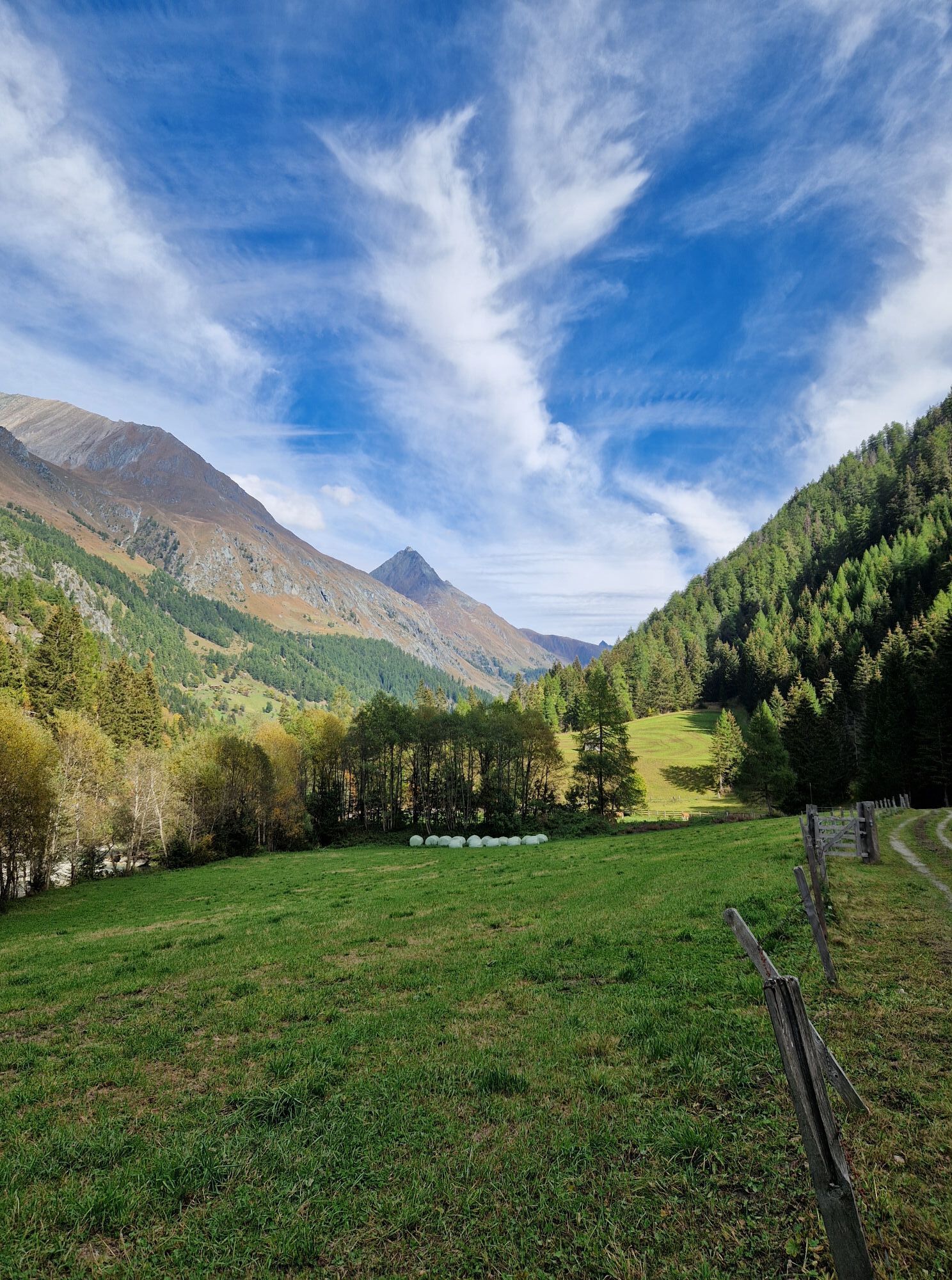
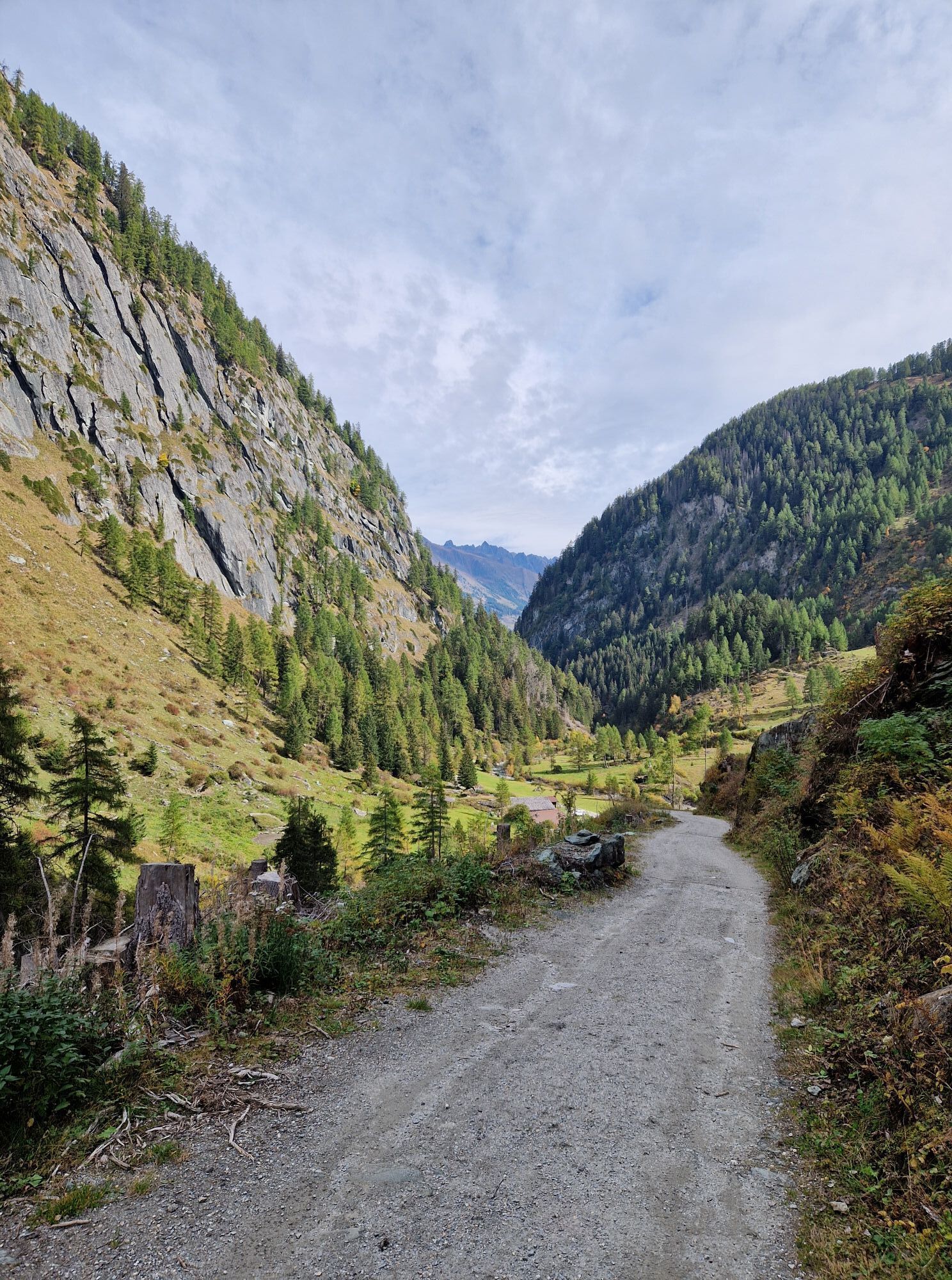
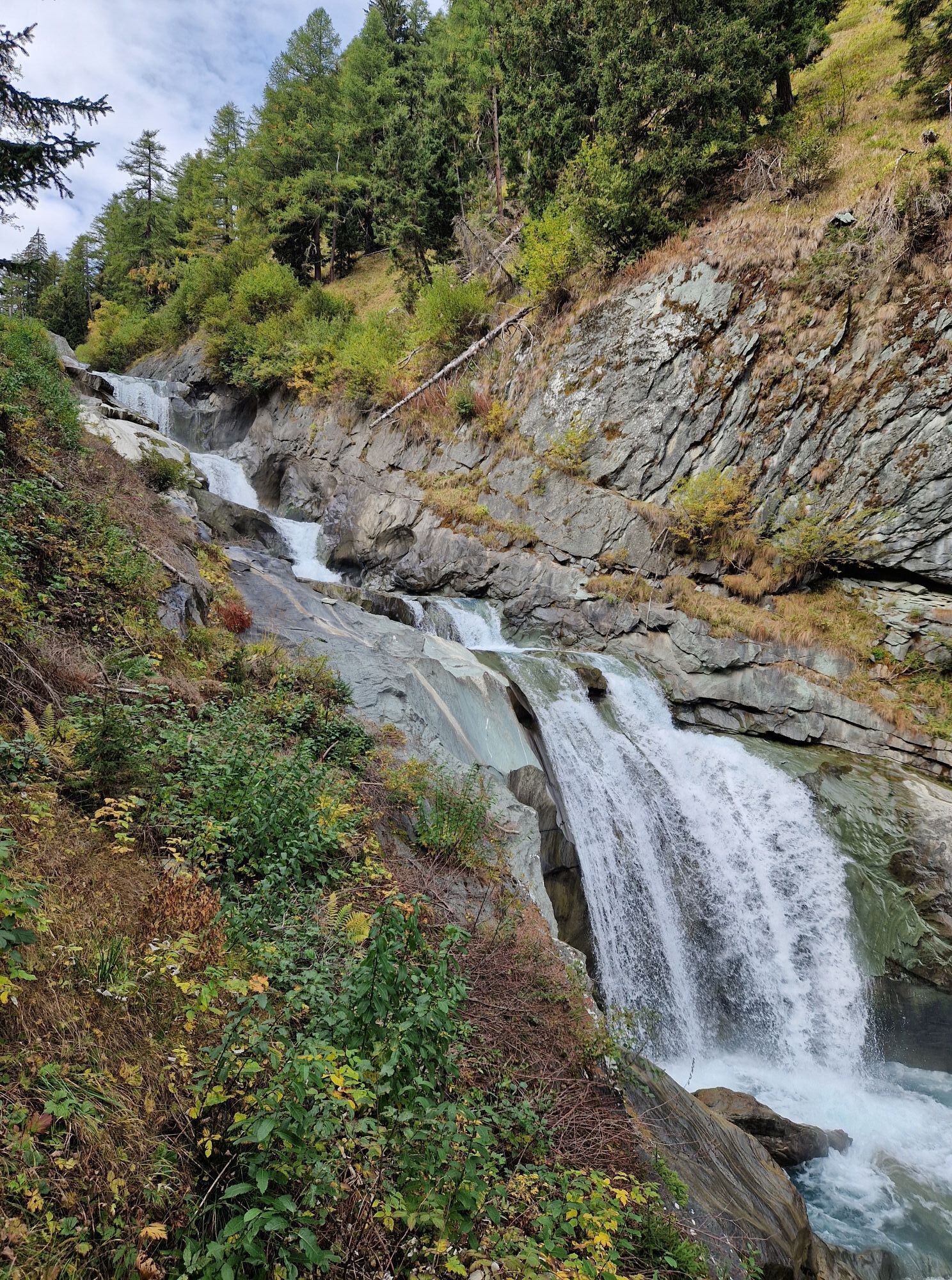
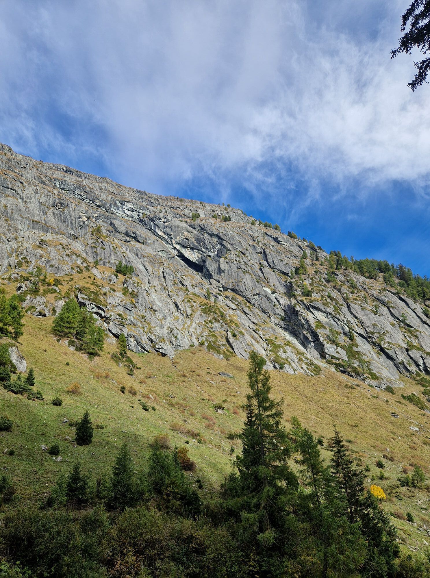
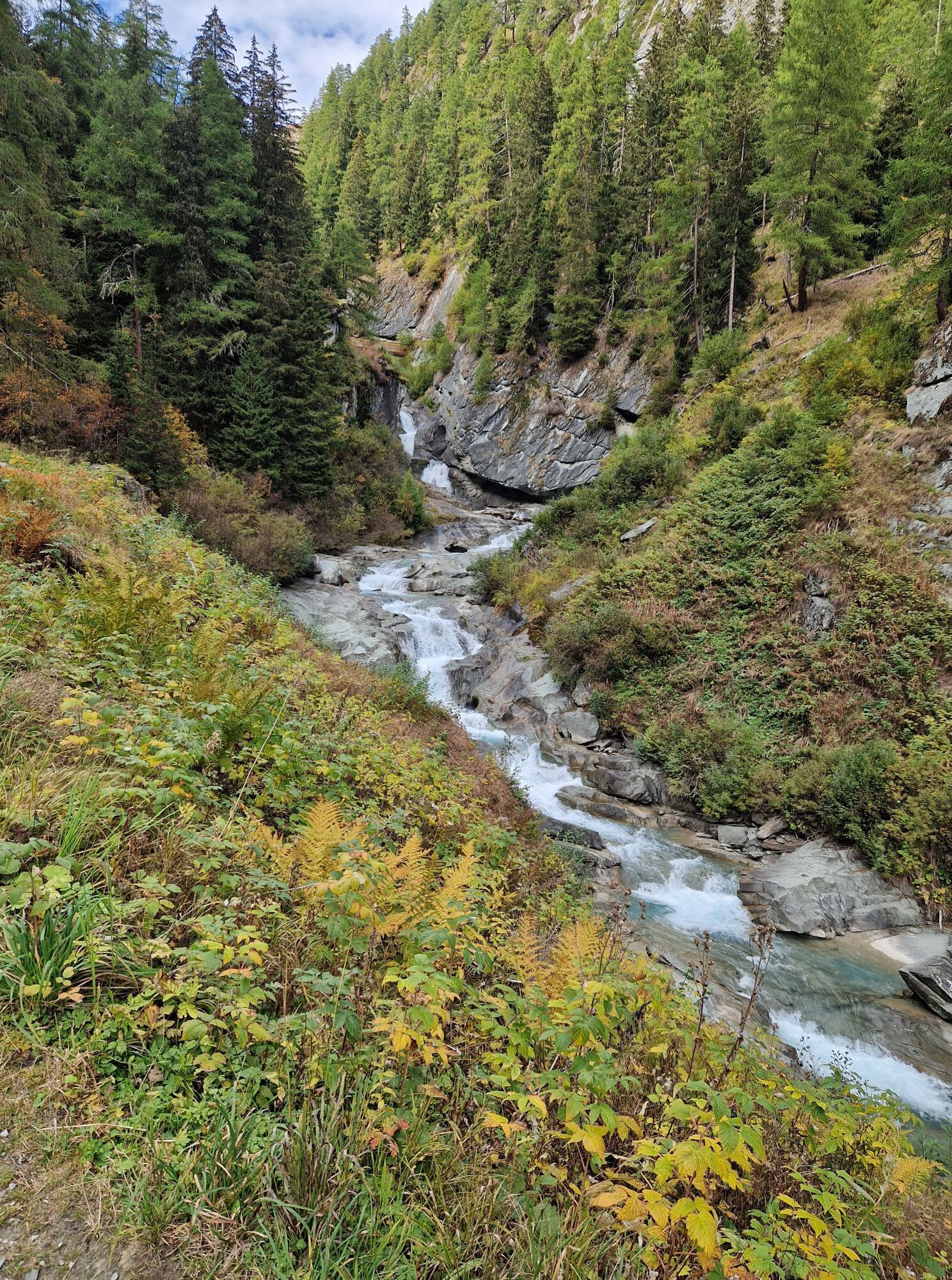
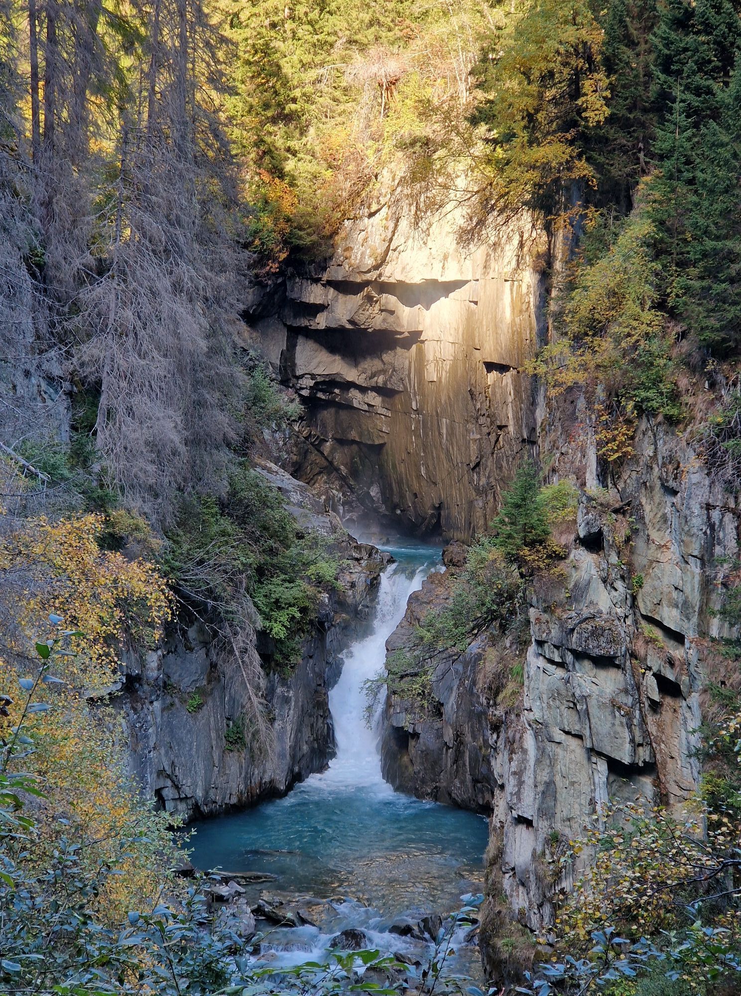
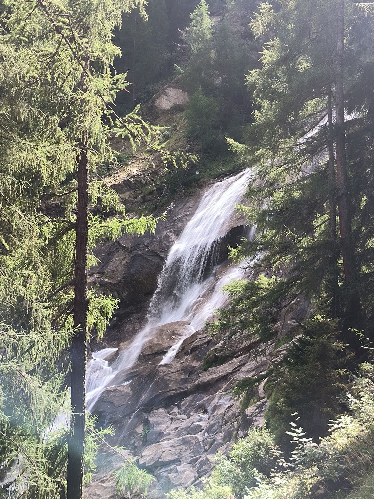

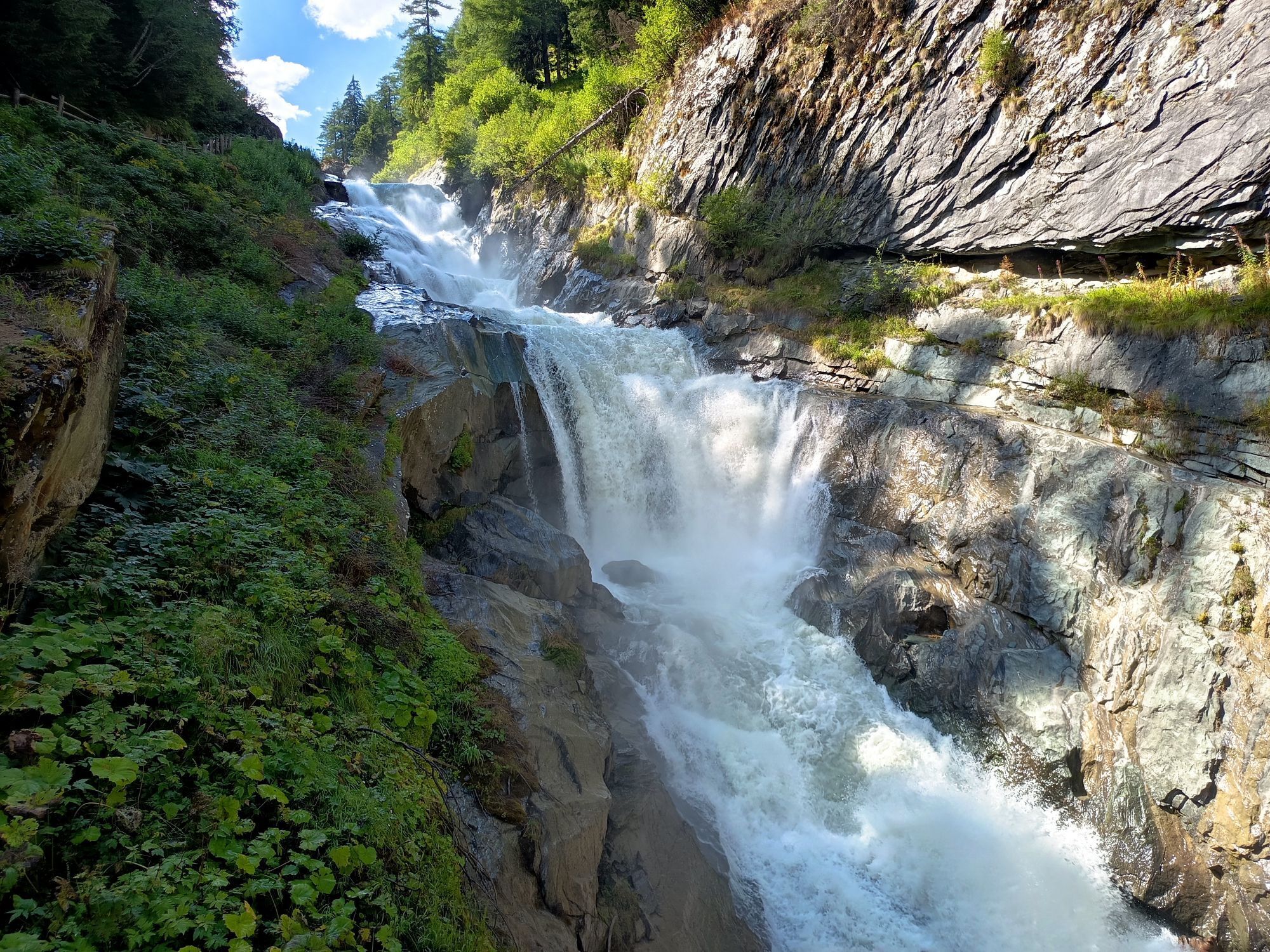
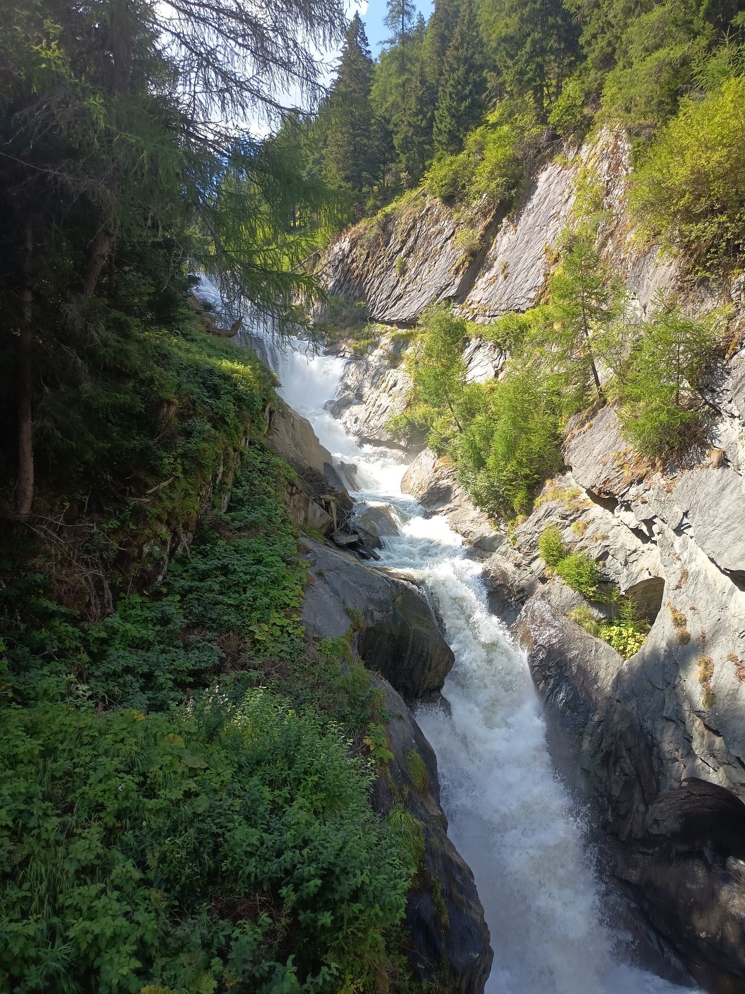
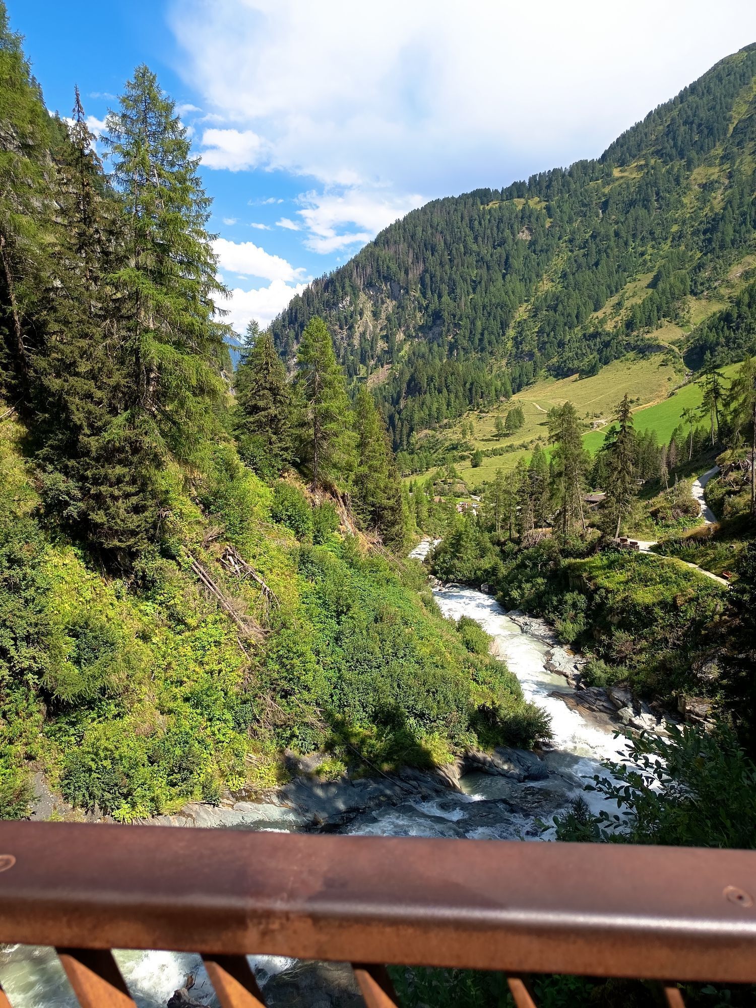
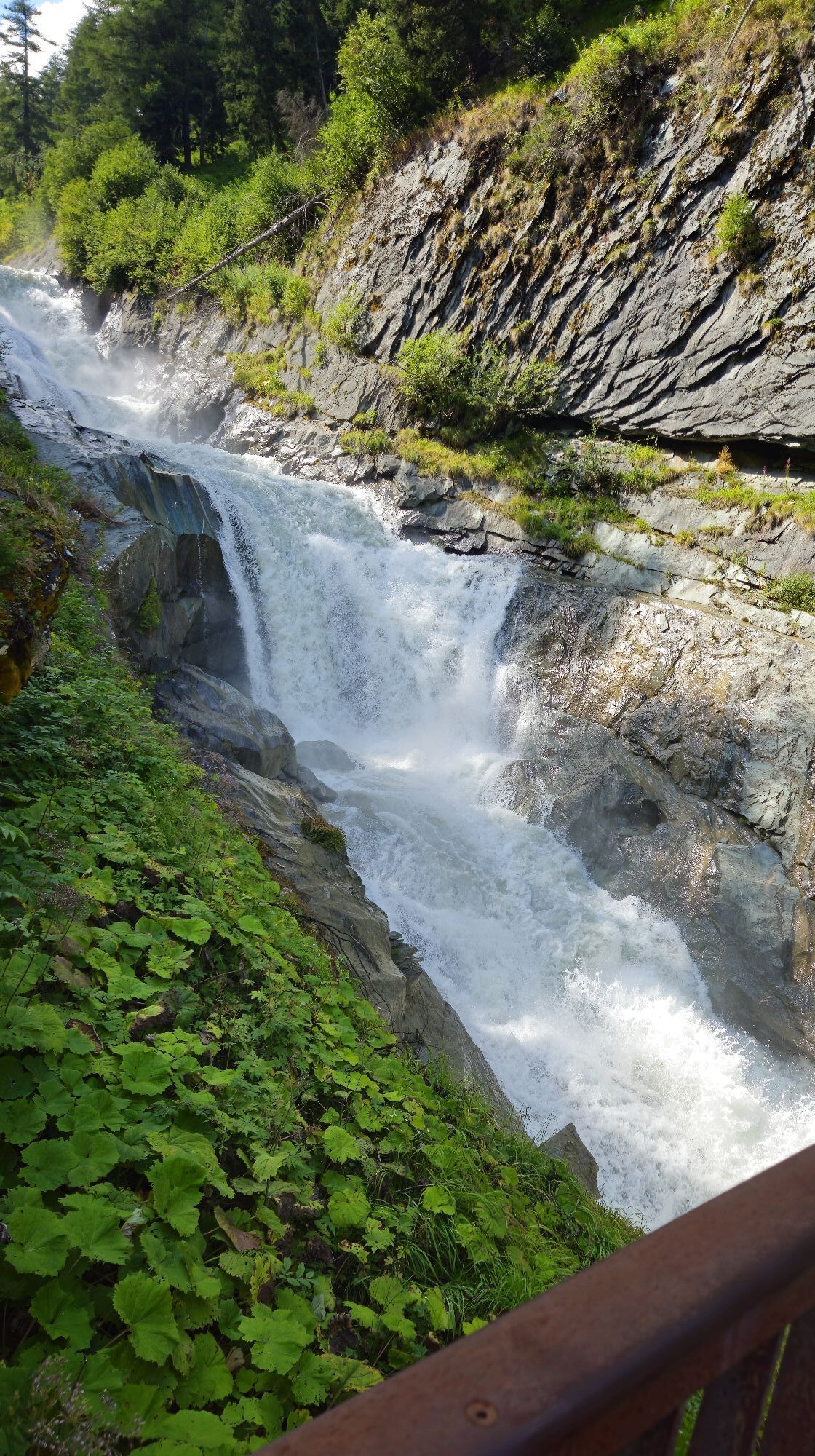



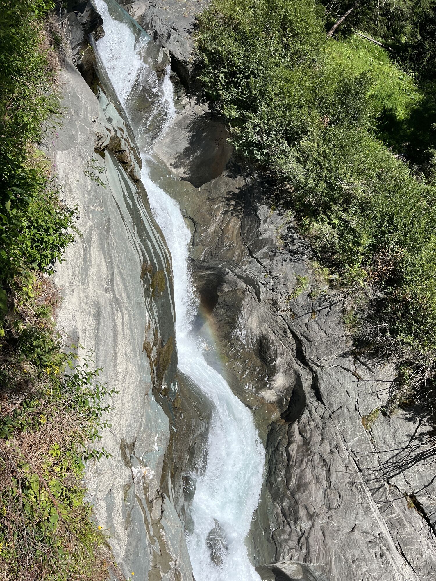
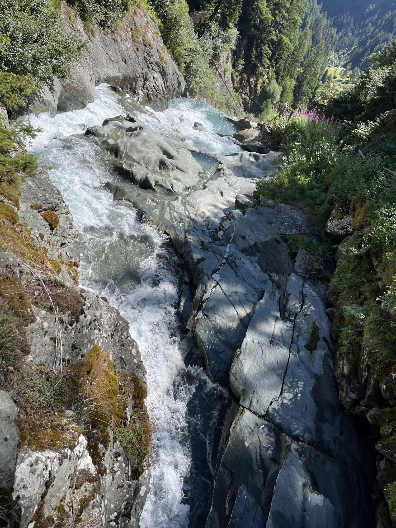
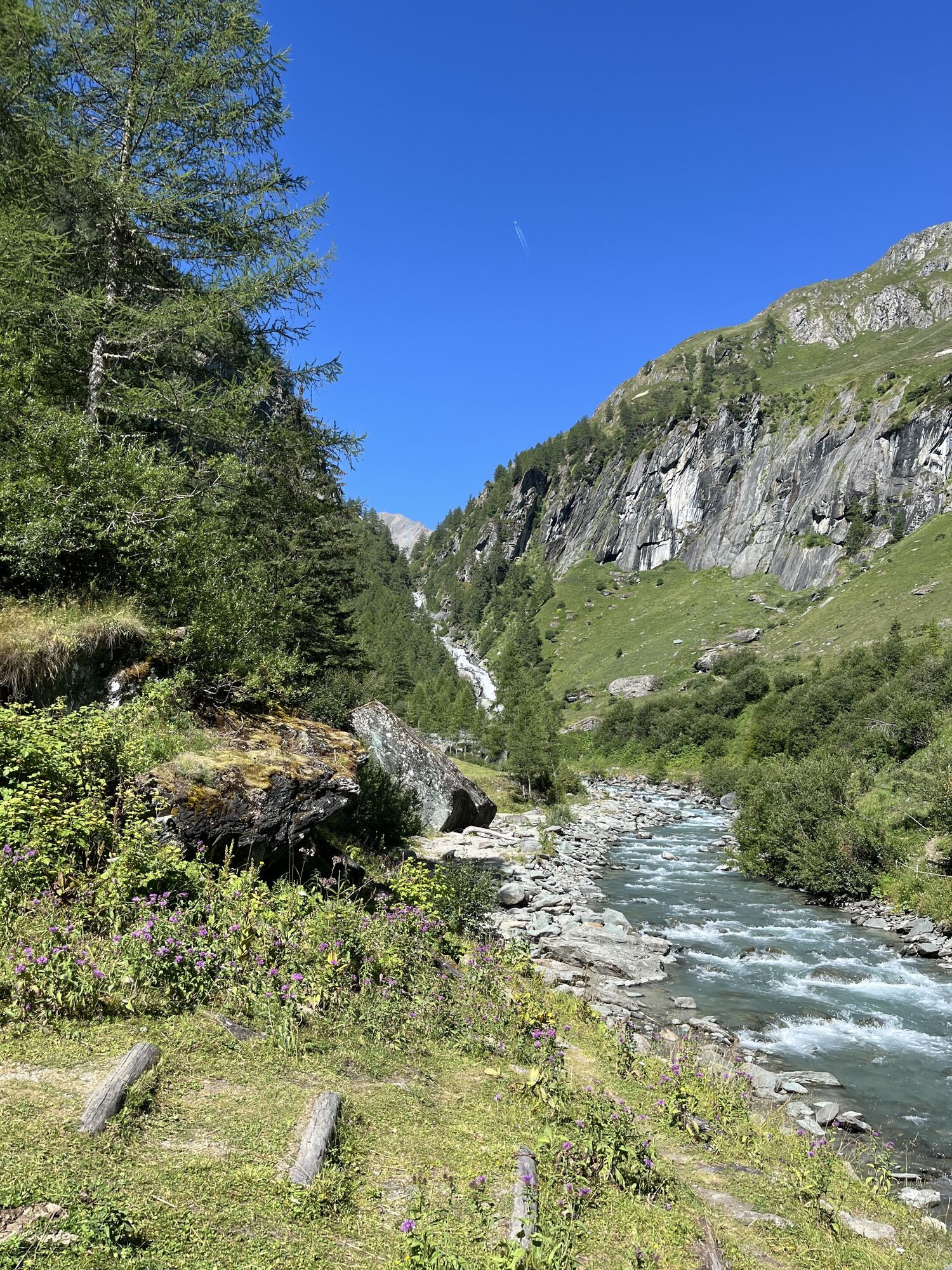
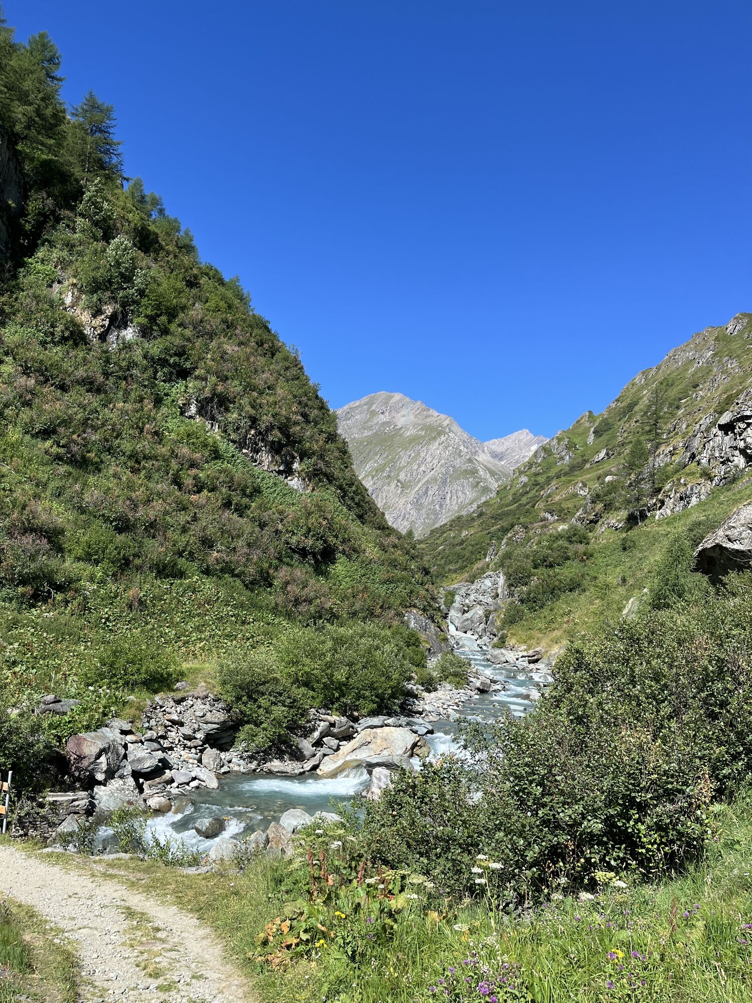


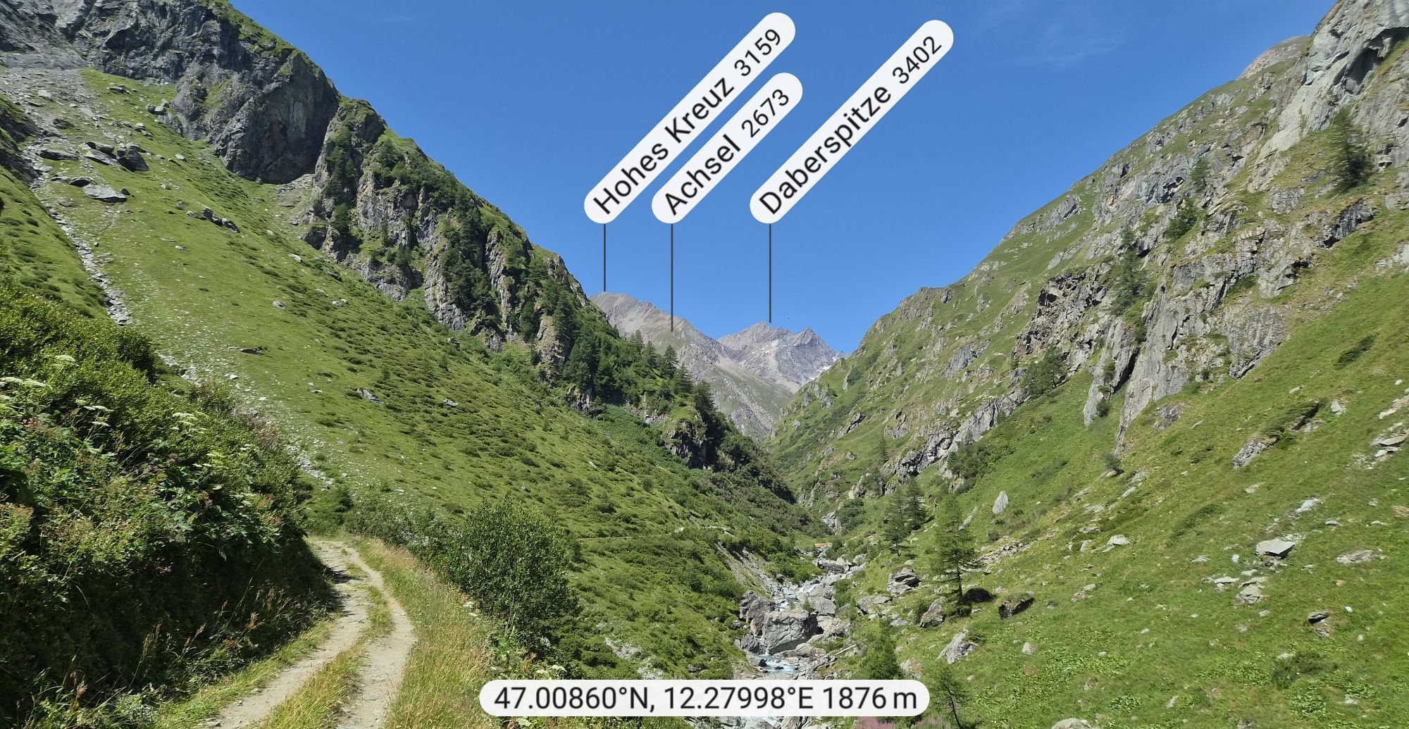
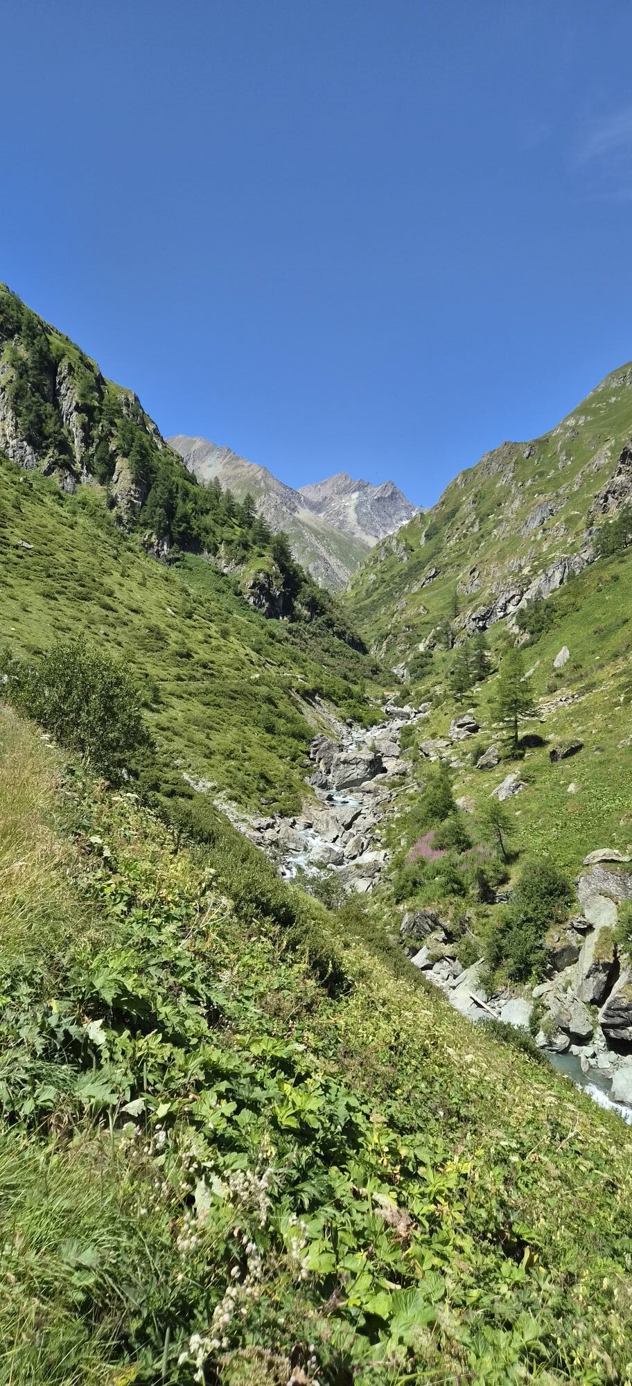
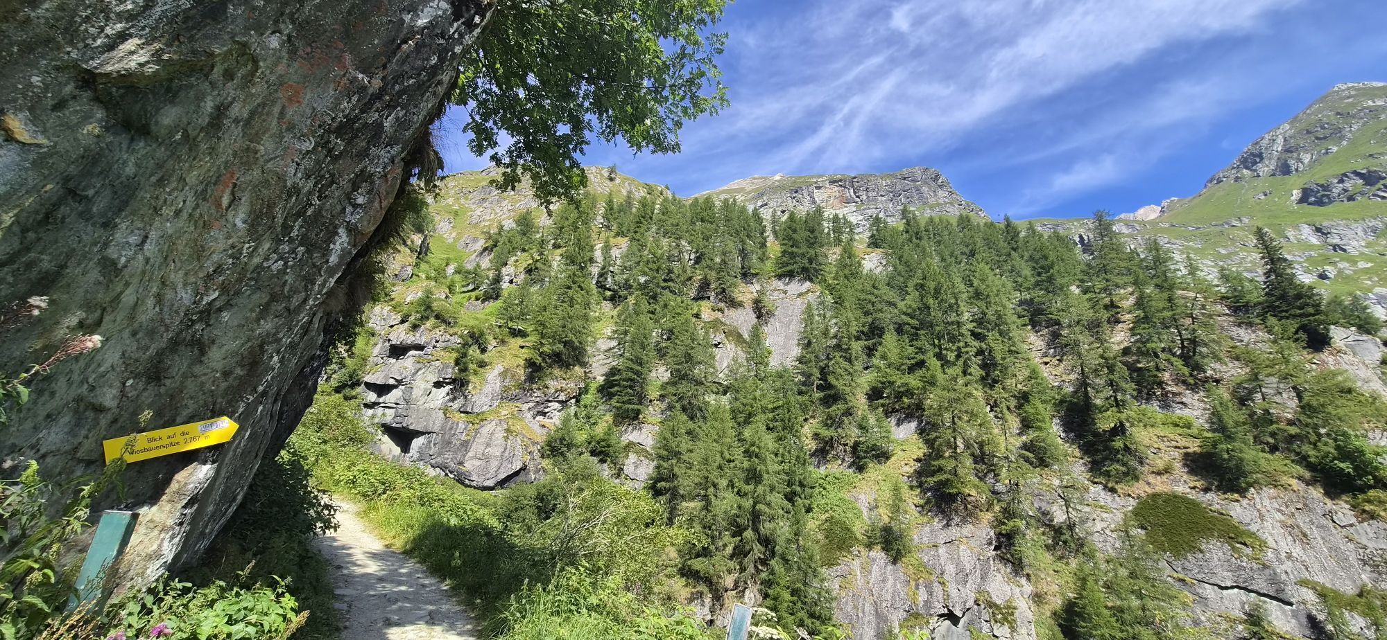
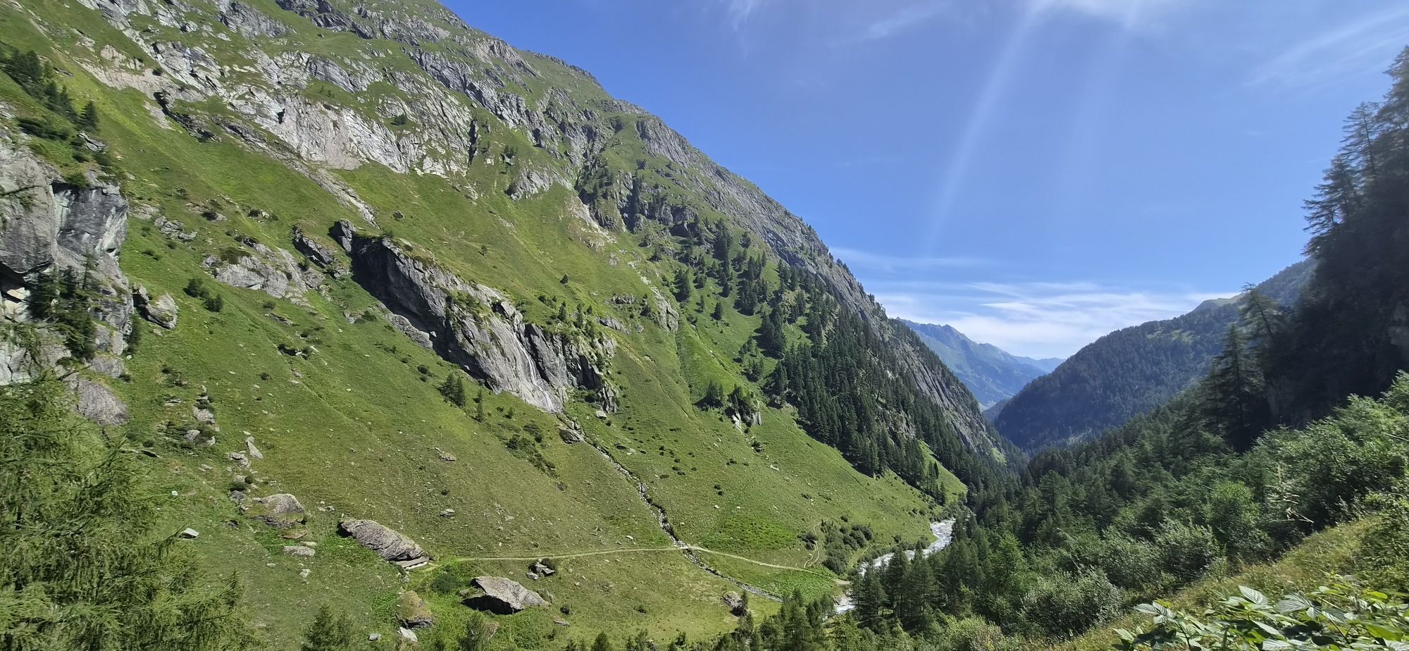
From the Clarahütte, ascend the Isel Trail across the Umbaltal valley (follow the signposts) and, once at the fork, continue walking straight ahead. Walk past the Ochsnerhütte and then descend to the Isel....
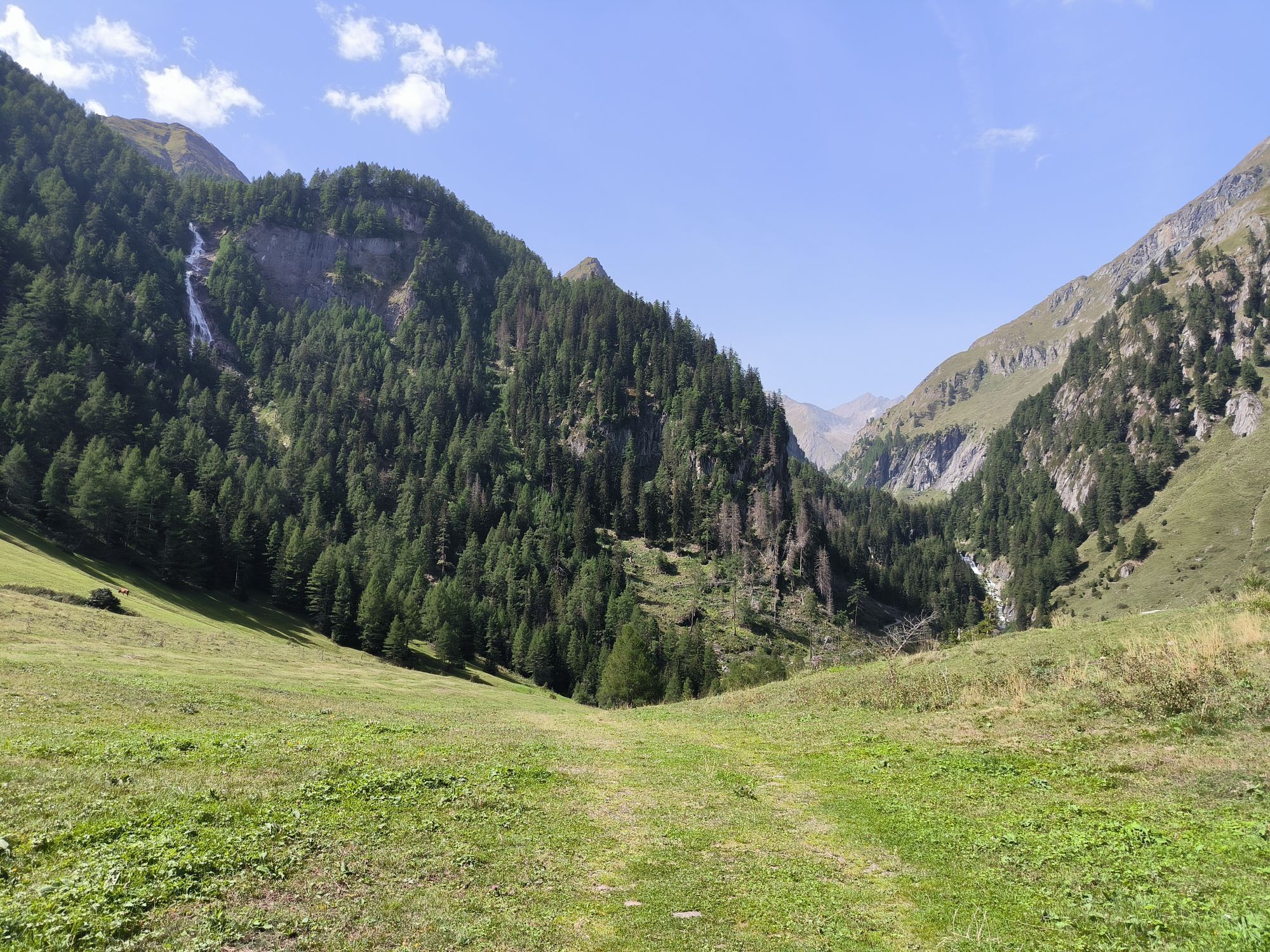
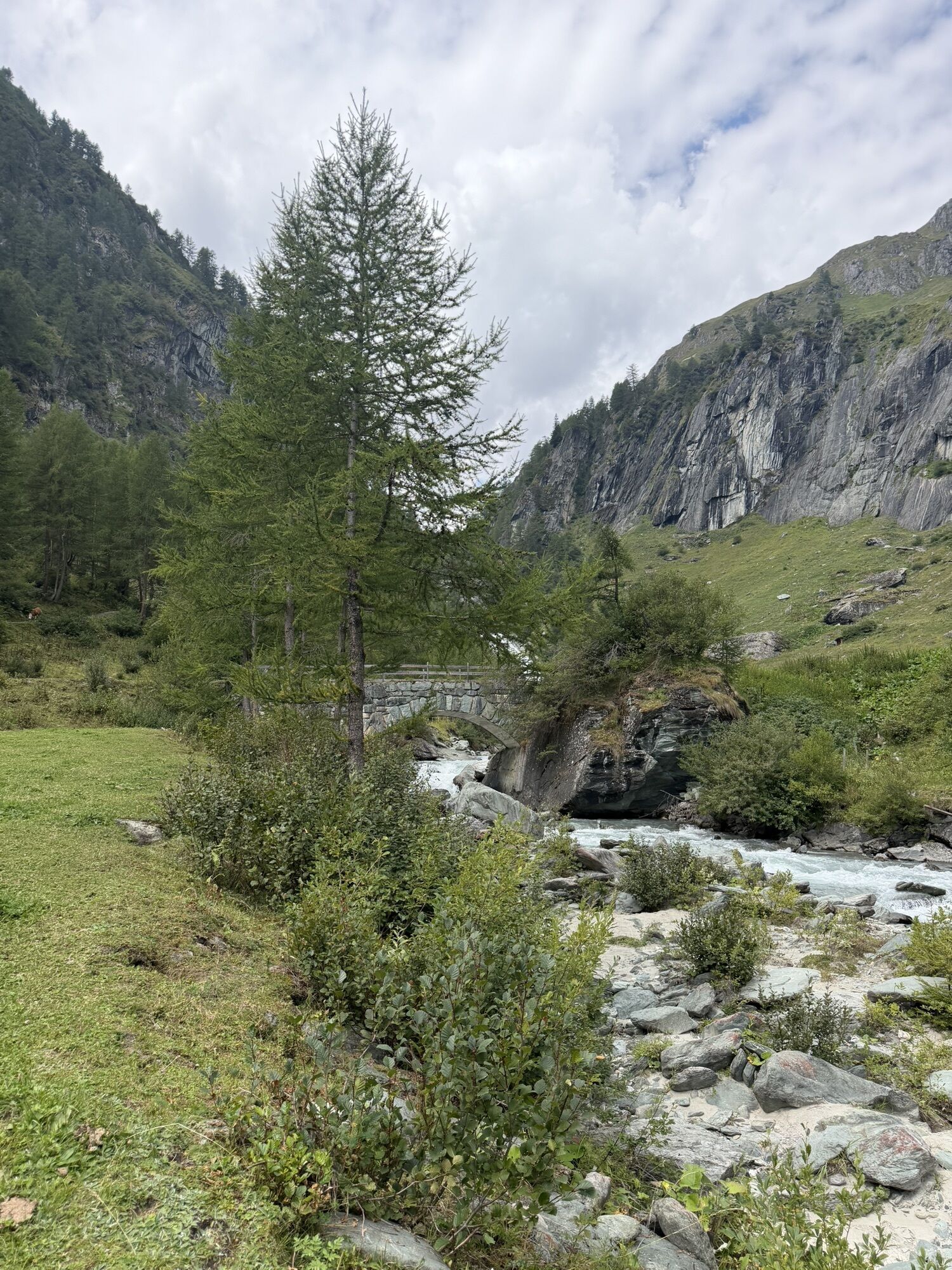
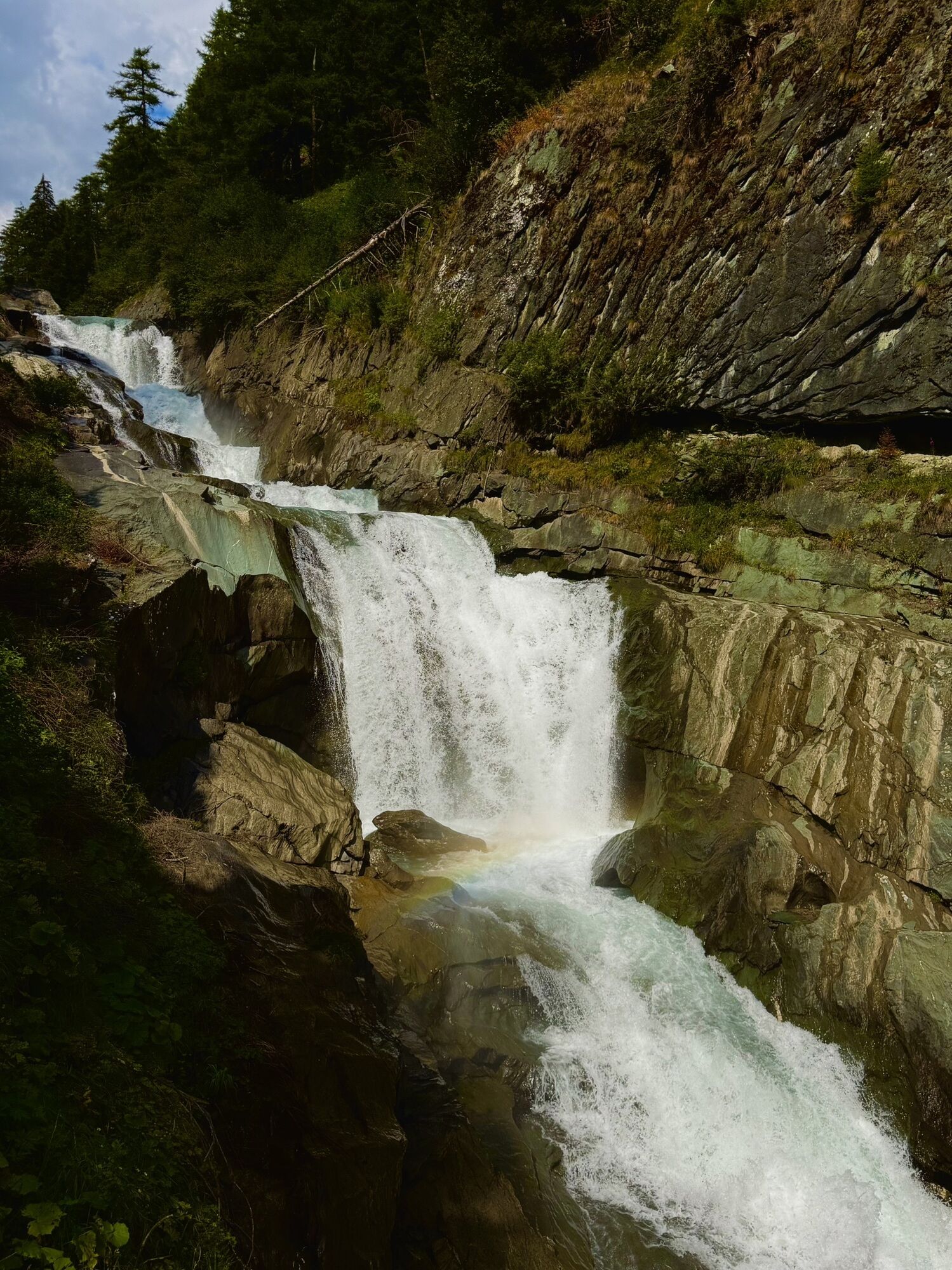
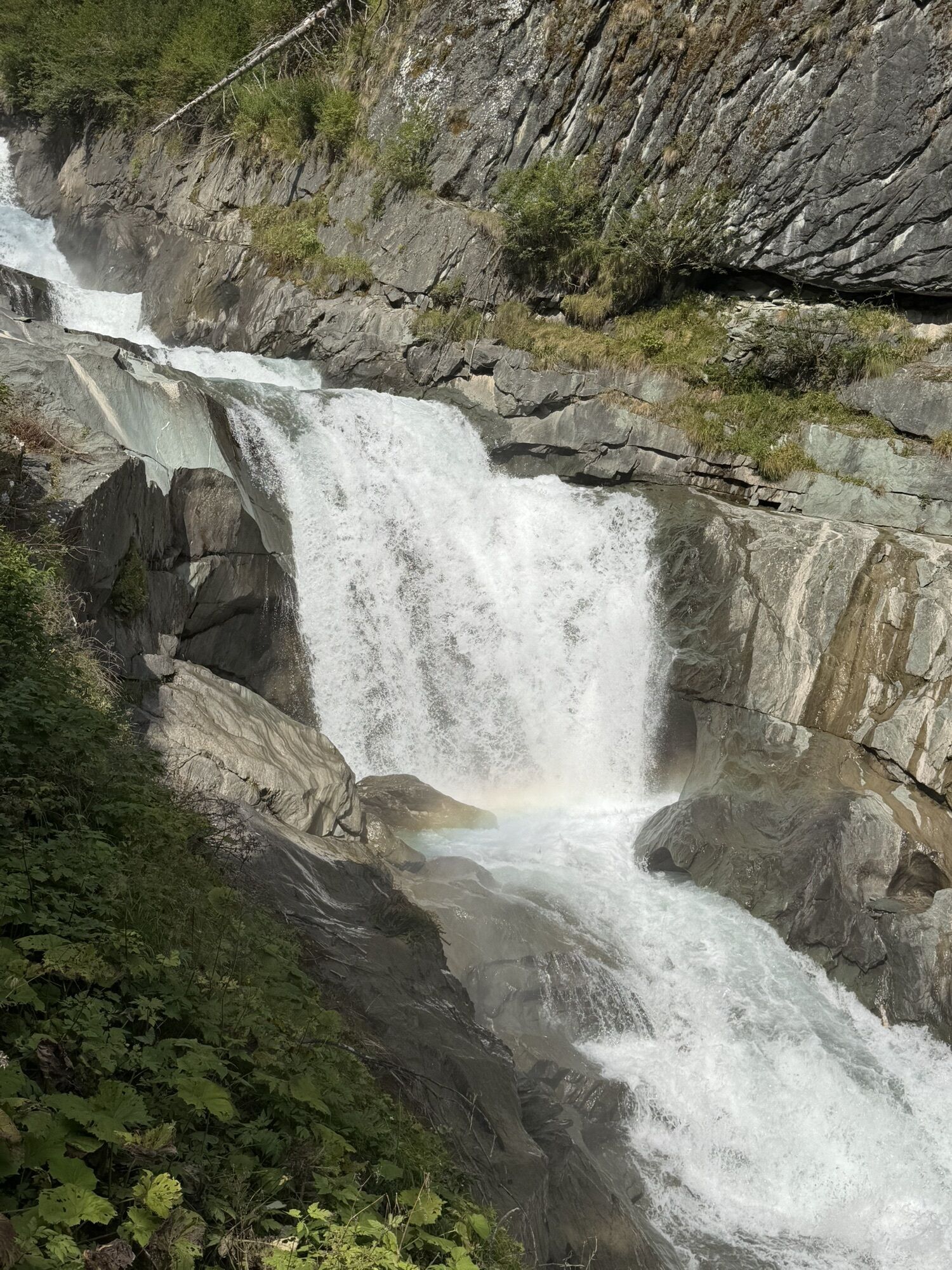
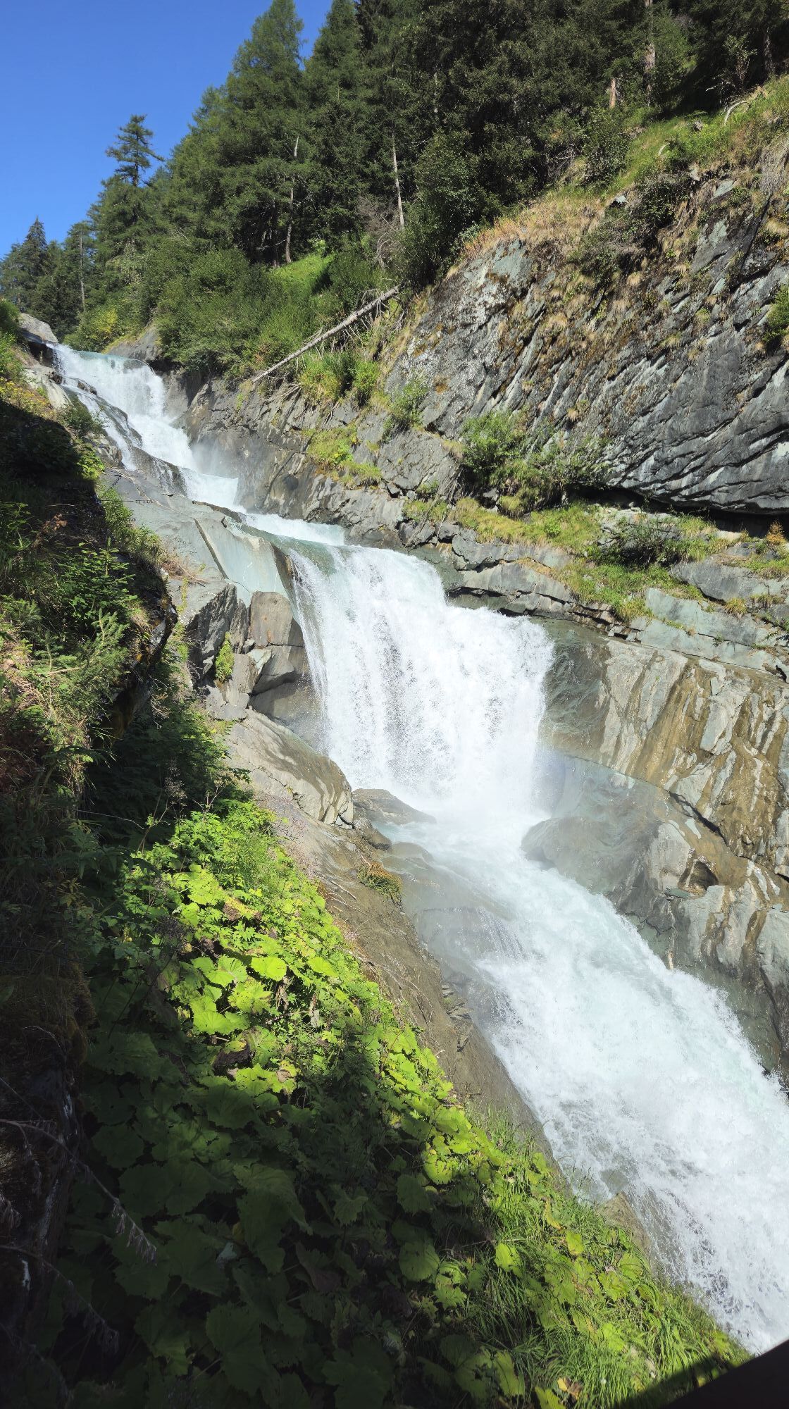
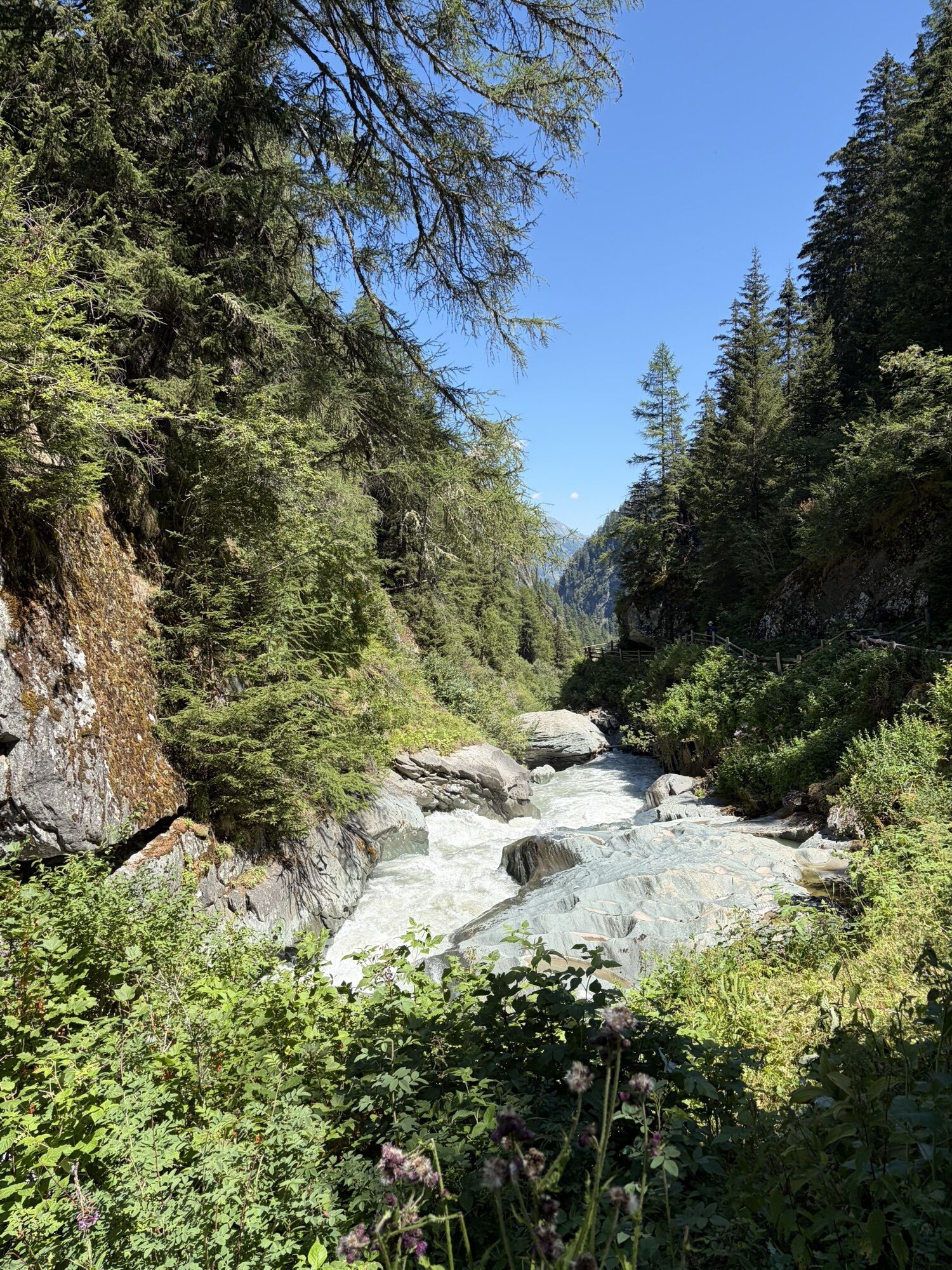
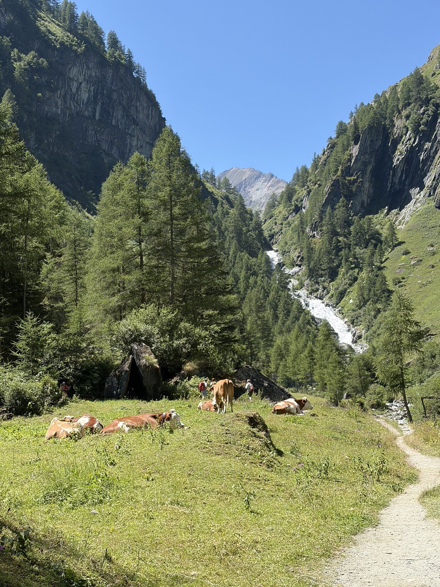
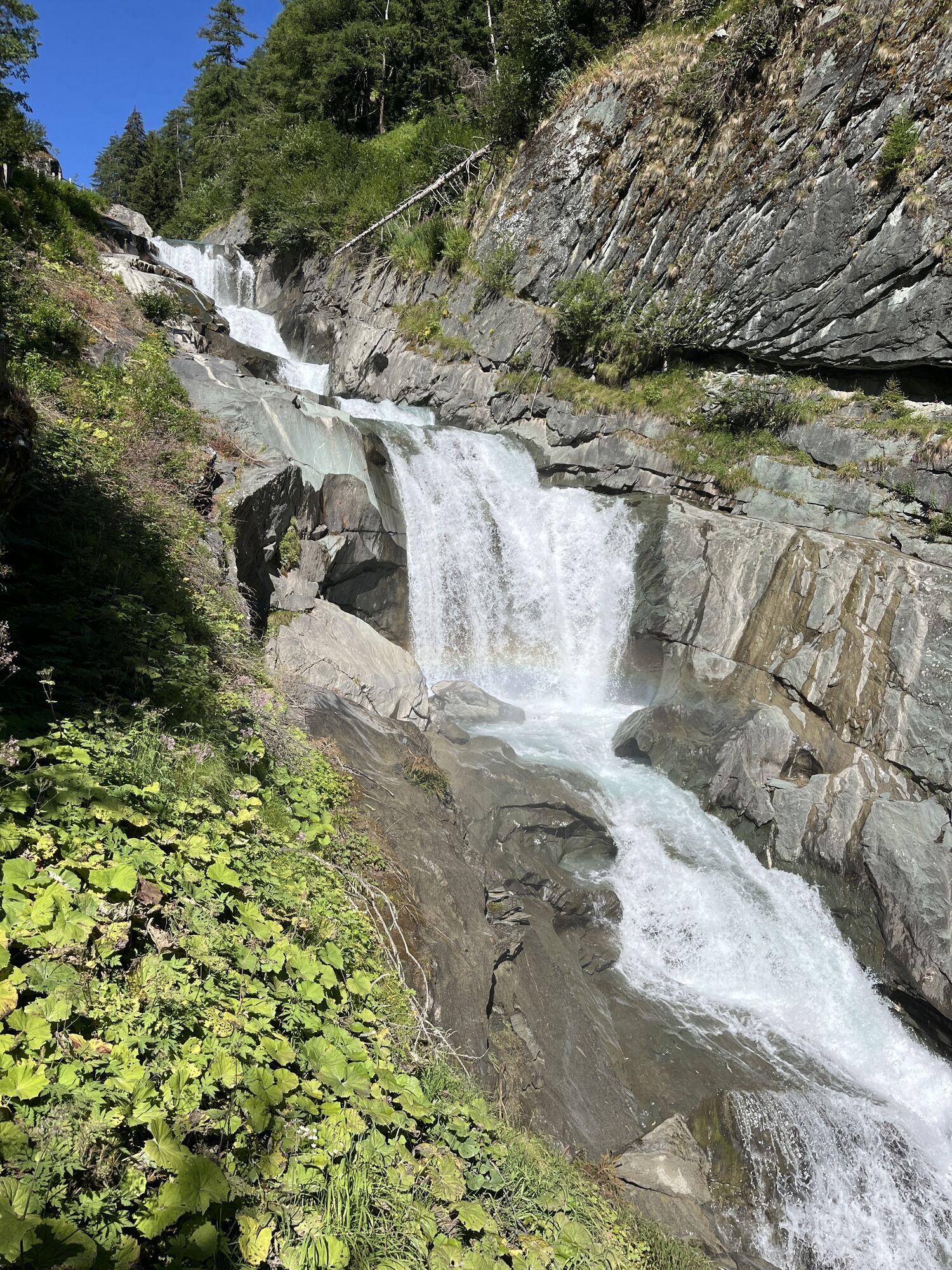
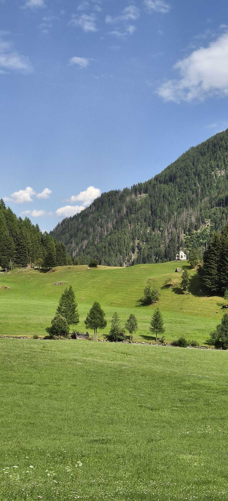
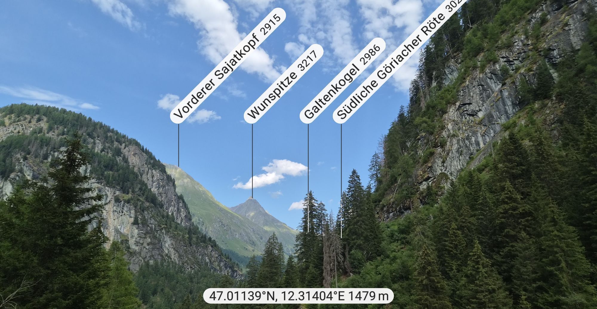
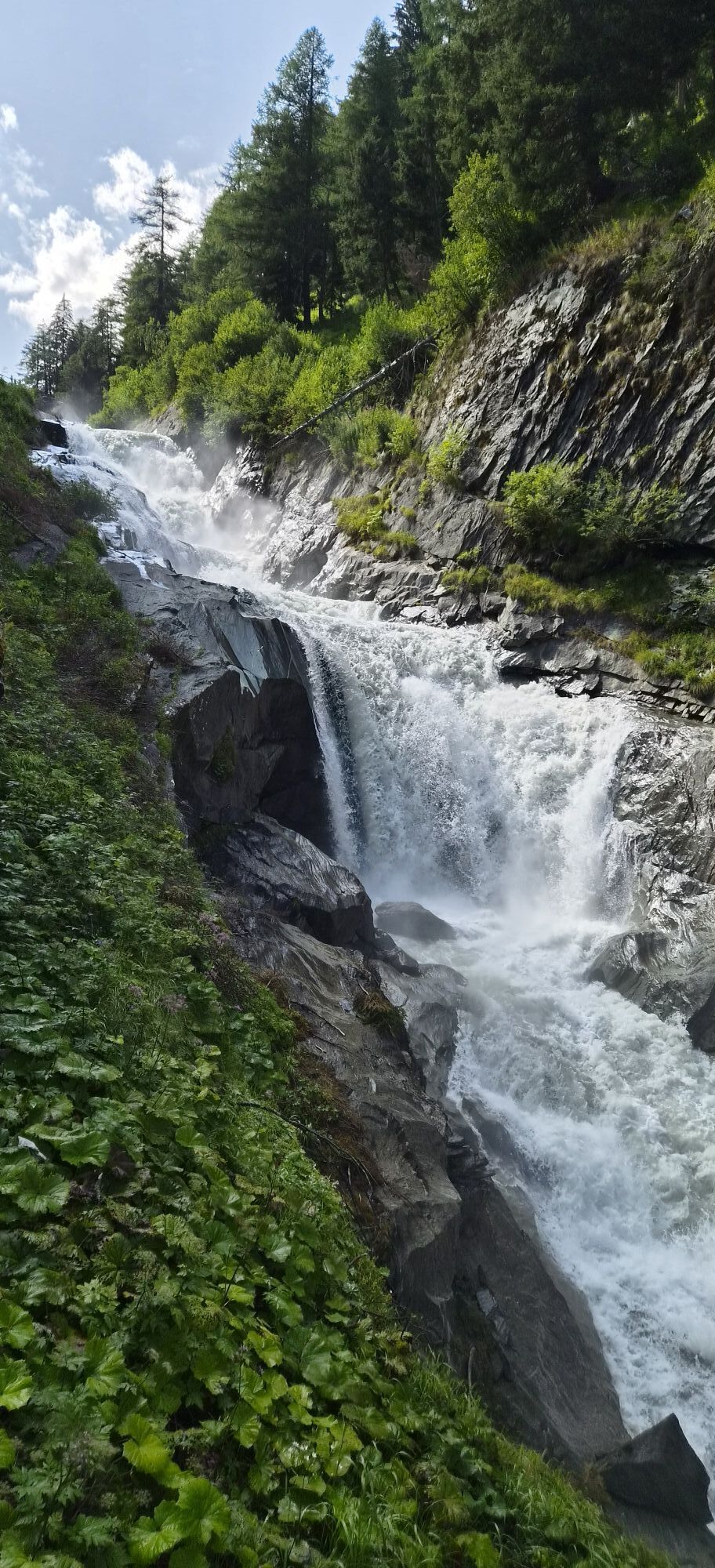
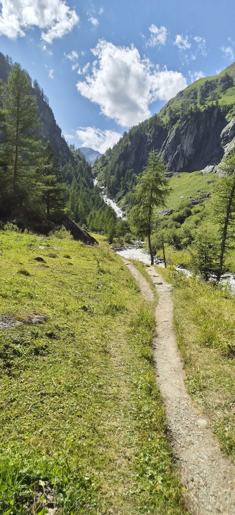
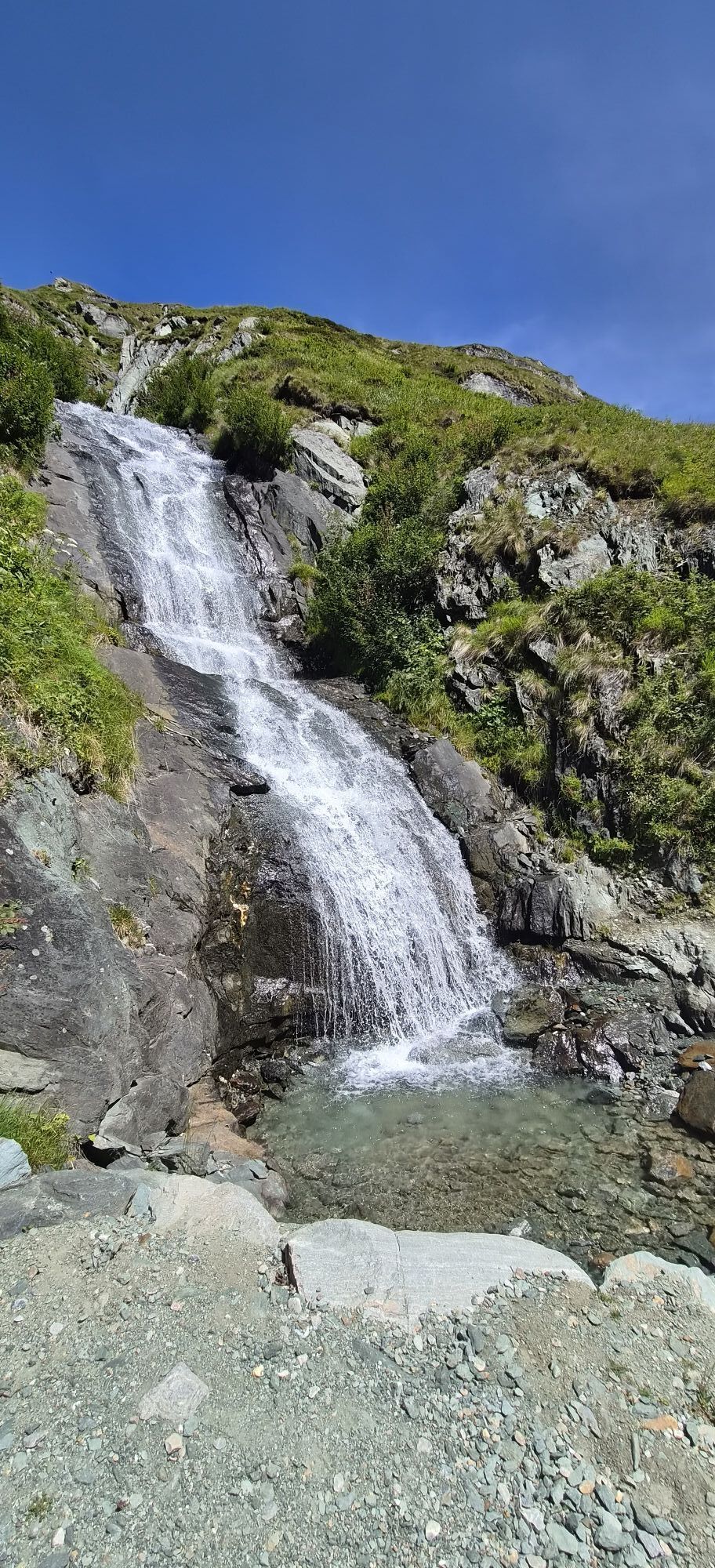
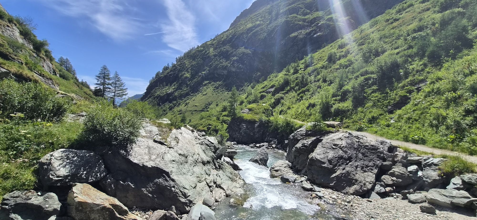
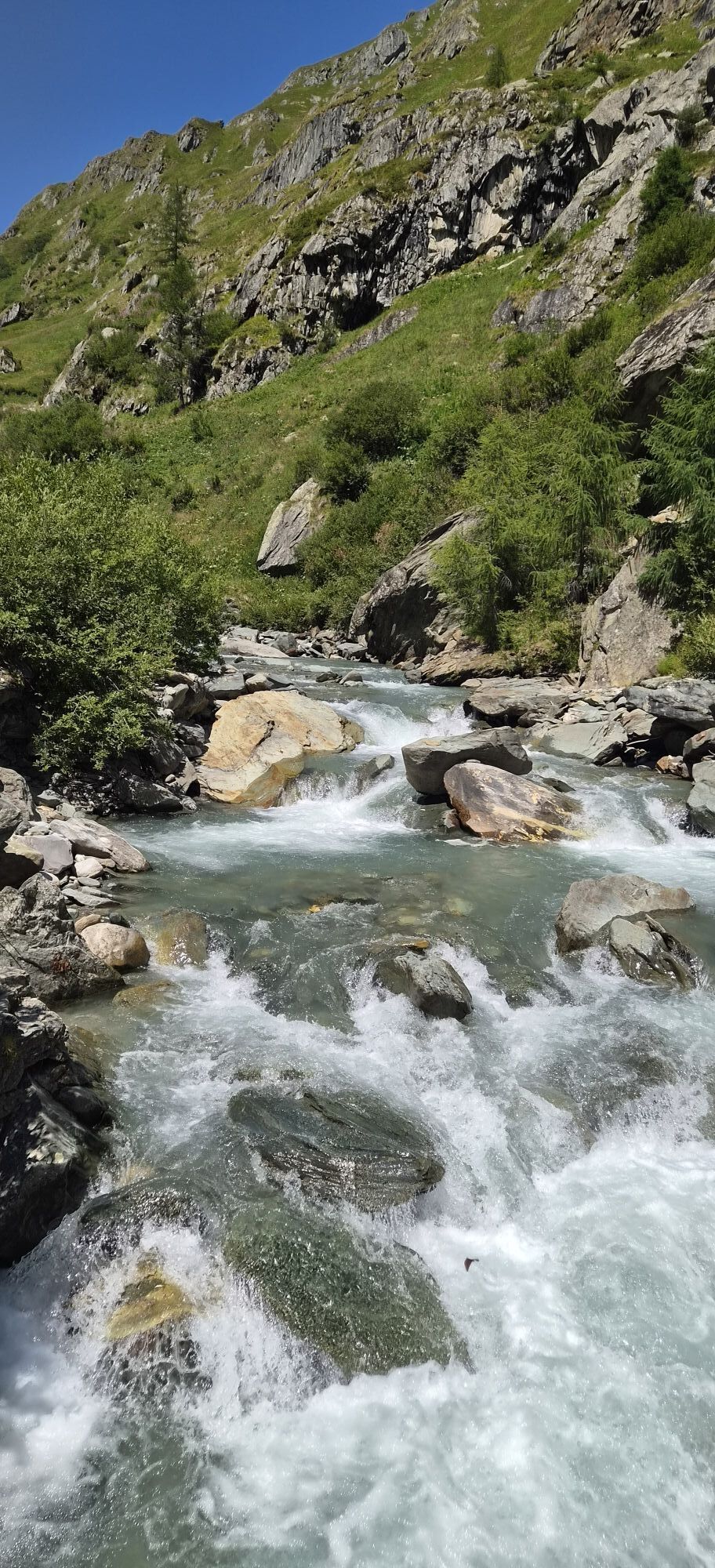
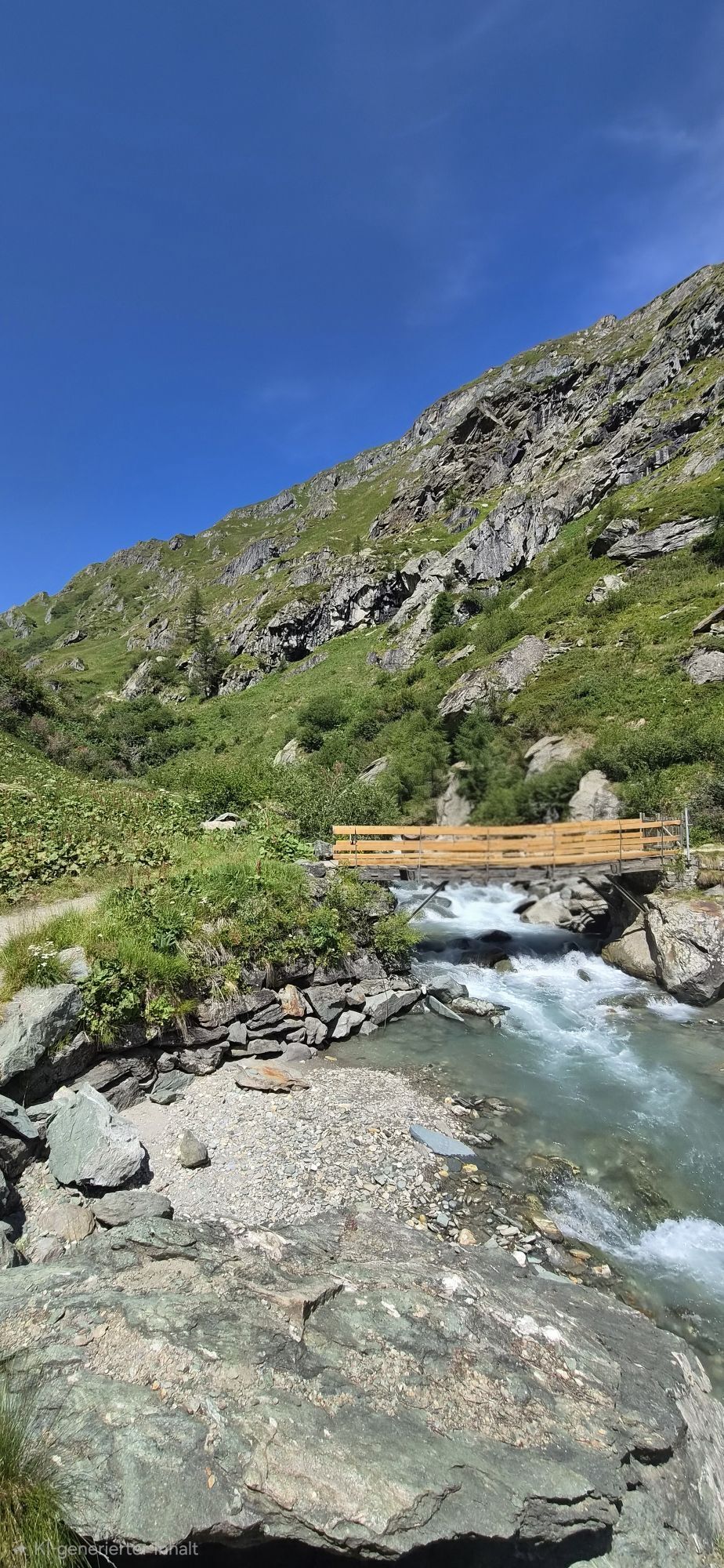
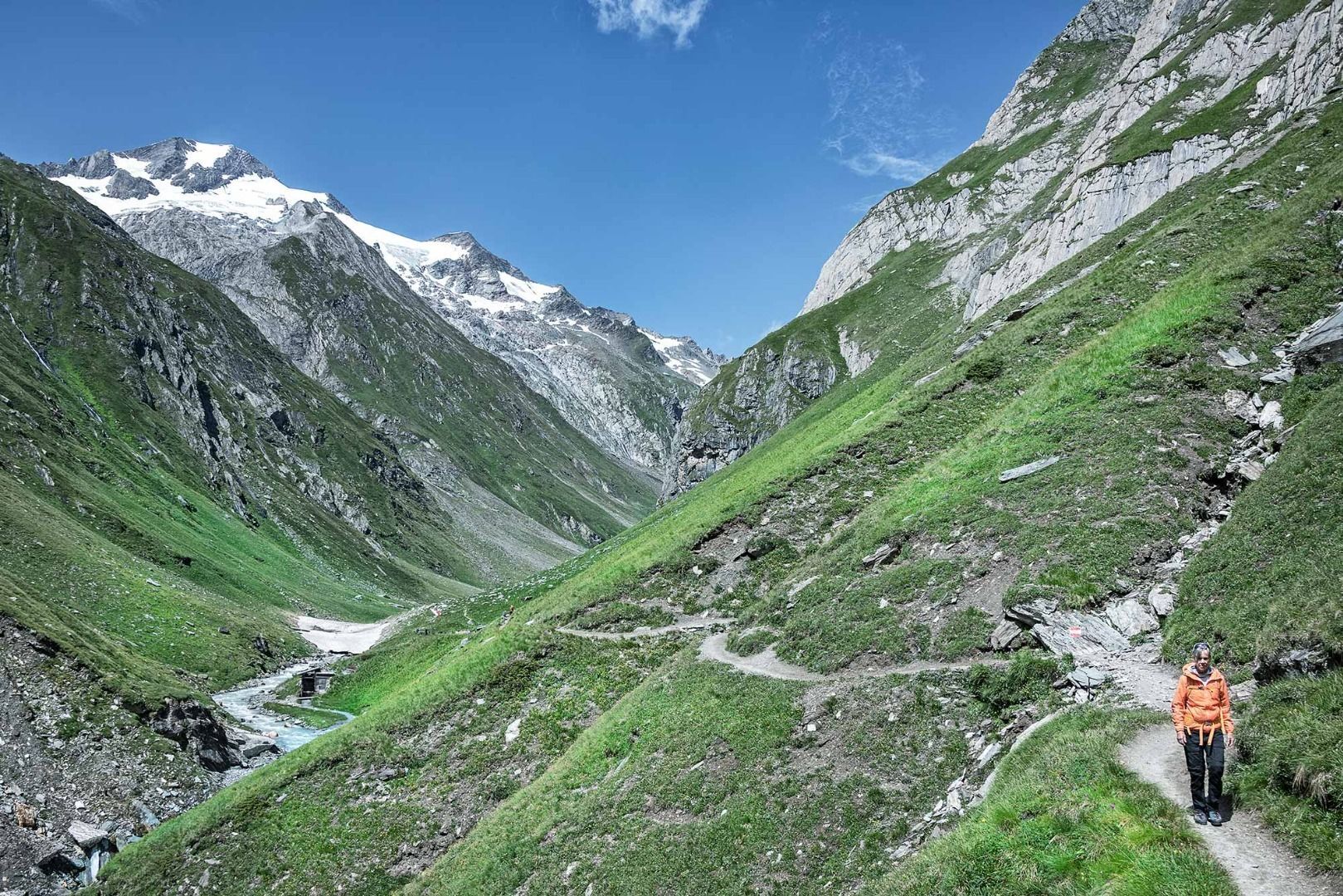
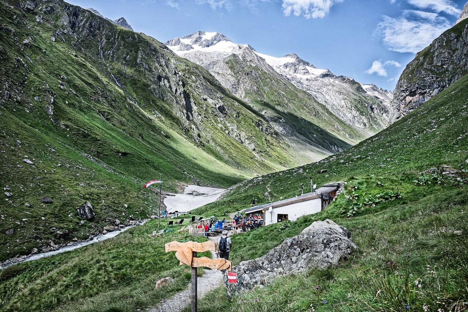
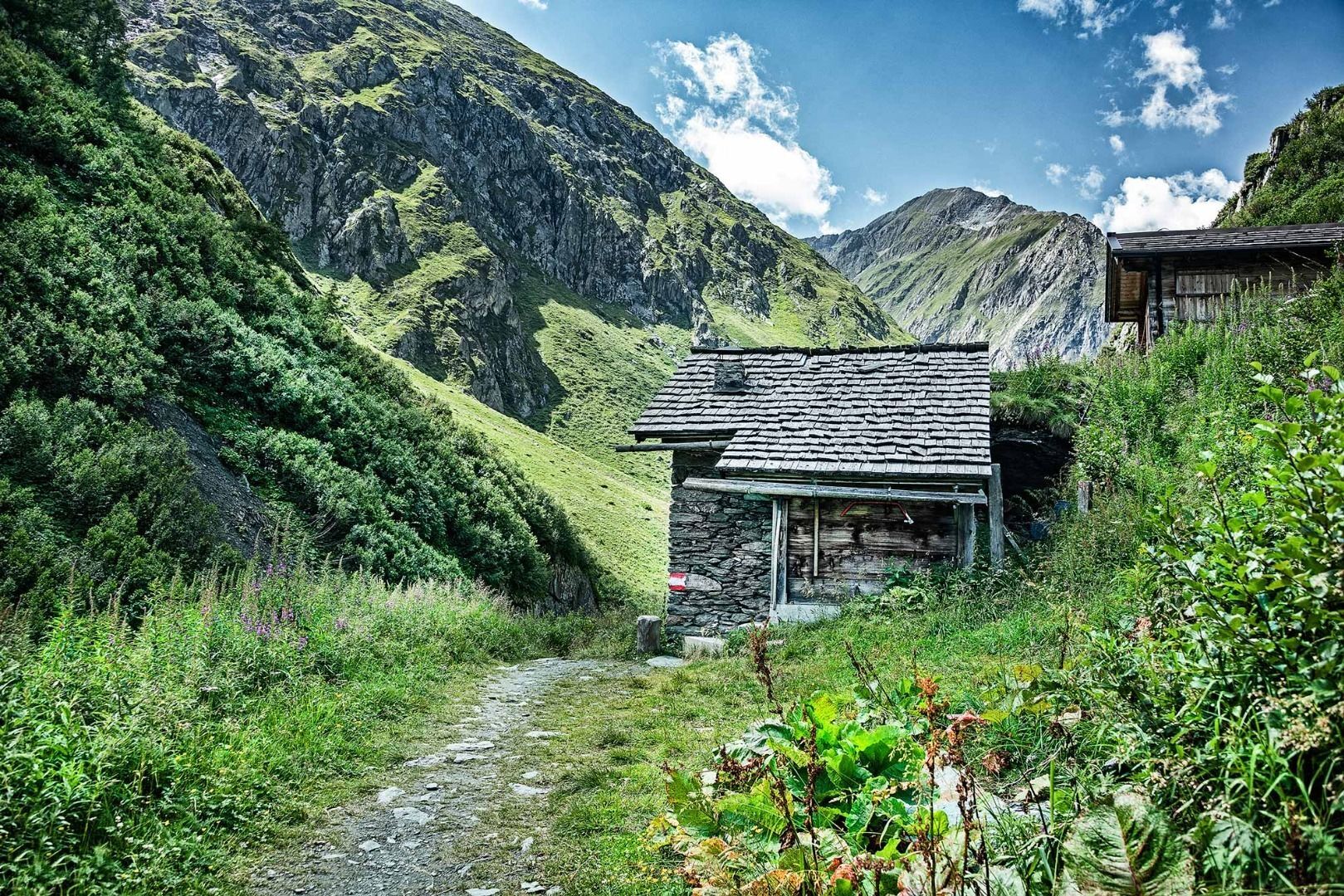
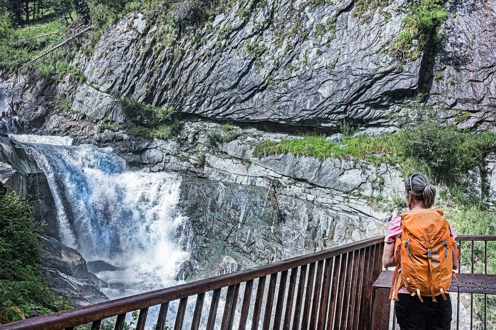
From the Clarahütte, ascend the Isel Trail across the Umbaltal valley (follow the signposts) and, once at the fork, continue walking straight ahead. Walk past the Ochsnerhütte and then descend to the Isel. Cross the bridge and climb to the next fork on a partially steep main road. At the fork, take a left (signpost to Umbalfälle) to then coast by the Isel on a picturesque, ascending path leading you by some waterfalls. Just before the Isslitzeralm, you will come across another fork (signpost Waldweg Prägraten). An opposing climb follows before descending towards Ströden. Just before the hamlet, the signposted path takes a right – cross the Isel and stick to the path, which will cross the Gloschlucht and its impressive waterfalls. Take a right at the fork next to the Isel. After a brief climb, cross the mountain meadows and walk through the forest to the next fork. From there take a left, cross the Isel and walk to Hinterbichl. From there you follow the path directly along the glacier river Isel to Prägraten am Großvenediger.



Basic equipment for mountain hiking includes sturdyâ¯hikingâ¯boots with a good tread, a 30-35 liter backpack, and functional clothing based on the layering principle, including sufficient spare clothes. Essential items are rain, cold, and sun protection, adequate fluids and food, as well as a first-aid kit and a charged mobile phone. A map or a GPS device supports orientation.
The information serves as a guideline and does not claim to be exhaustive. Equipment must always be adapted to theâ¯planned route, weather conditions, season, natural hazards, environmental influences, and personal needs.


Aktivity počas prehliadky
-

Hinterbichl, Tirol/Österreich
04.09.2026 – Turistika -

Prägraten am Großvenediger, Tirol/Österreich
29.08.2026 – Turistika -
Hinterbichl, Tirol/Österreich
27.08.2026 – Turistika -

Hinterbichl - Clarahütte
17.08.2026 – Turistika -
Prägraten am Großvenediger, Tirol/Österreich
10.08.2026 – Turistika -

Prägraten am Großvenediger, Tirol/Österreich
05.08.2026 – Turistika -
Prägraten am Großvenediger, Tirol/Österreich
04.08.2026 – Turistika -


2026_3. 8.: Prägraten Umbalfälle Clarahütte
03.08.2026 – Vysoké turné -


Prägraten am Großvenediger, Tirol/Österreich
28.07.2026 – Turistika -


Prägraten am Großvenediger, Tirol/Österreich
25.07.2026 – Turistika -


Umbaltal, Prägraten am Großvenediger/Tirol
25.07.2026 – Turistika -
Prägraten am Großvenediger, Tirol/Österreich
22.07.2026 – Turistika -

Prägraten am Großvenediger, Tirol/Österreich
15.07.2026 – Turistika -

Prägraten am Großvenediger, Tirol/Österreich
06.07.2026 – Turistika -
Prägraten am Großvenediger, Tirol/Österreich
02.07.2026 – Turistika -

Clarahütte - Umbalfälle
21.09.2025 – Turistika -

Hinterbichl, Tirol/Österreich
20.09.2025 – Turistika -
Hinterbichl, Tirol/Österreich
19.09.2025 – Turistika -
Prägraten am Großvenediger, Tirol/Österreich
28.08.2025 – Turistika -

Lasörling Höhenweg Etappe 1: Van Hinterbilch (startpunt) naar de Clarahütte - Bookatrekking.com
20.01.2022 – Turistika
Obľúbené výlety v okolí
-
4,8
NaturKraftWeg Umbalfälle
svetloTematická trasa 5,99 km -
4,2
Gletscherlehrweg Innergschlöß
strednáTuristika 9,36 km -
4,8
Circular hike suspension bridge Isel Canyon via "Hohe Bank"
strednáTuristika 8,11 km -
4,8
Stoden - Clarahütte
strednáTuristika 7,12 km -
4,9
Oberhausalm - Jagdhaushütte
svetloTuristika 14,0 km -
4,4
Seespitze
strednáTuristika 13,7 km -
3,6
Krimmler Tauernhaus - Warnsdorfer Hut - Gamsspitzl
ťažkéTuristika 10,5 km -
5,0
Muhs-Panoramaweg
strednáTuristika 14,0 km -
4,8
Erlsbach Almenrunde zum Klammljoch
strednáMountainbike 35,3 km -
4,8
Wiesbauerspitze 2.767 m
strednáTuristika 9,66 km
Turistika a stopovanie


Nenechajte si ujsť ponuky a inšpiráciu na ďalšiu dovolenku
Vaša e-mailová adresa bol pridaný do poštového zoznamu.


