







Hochsölden

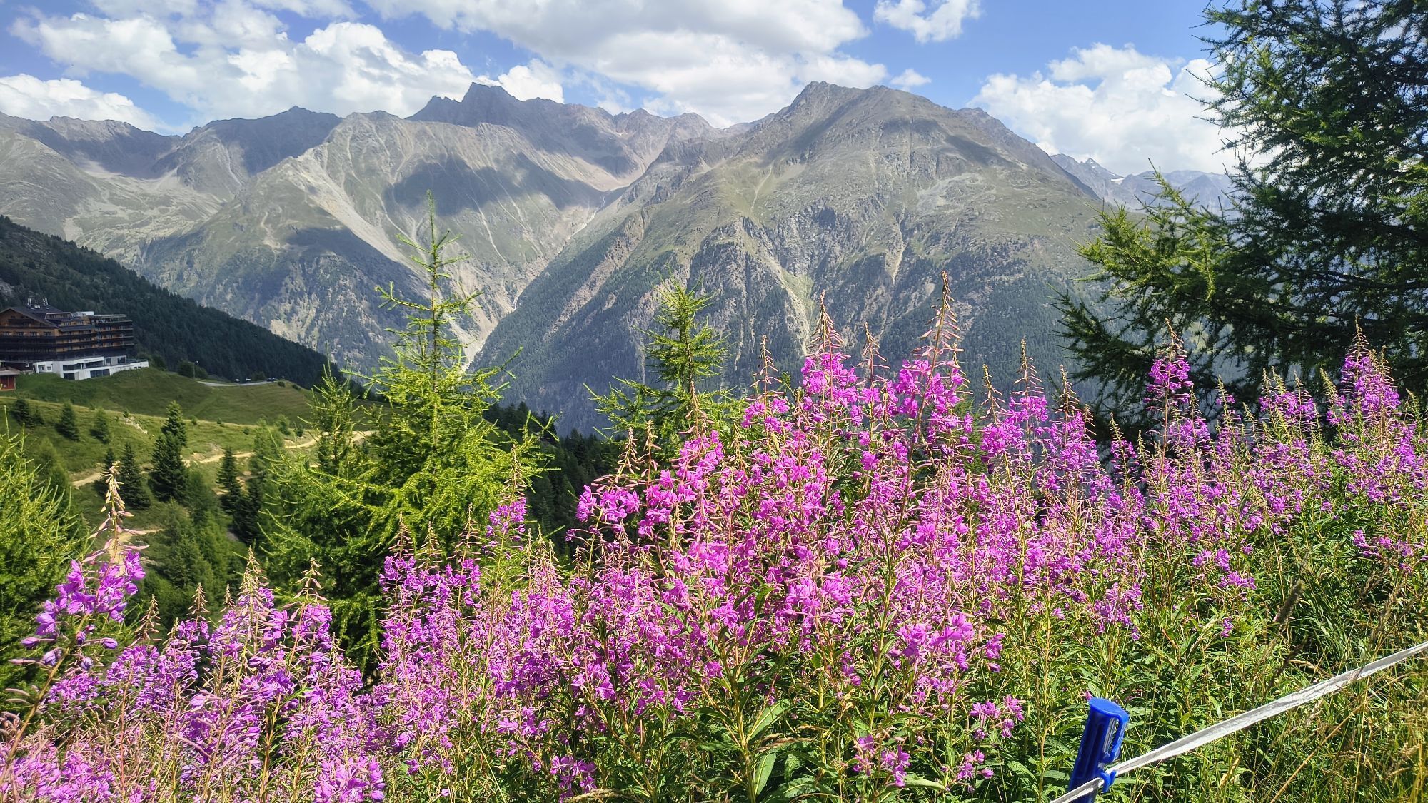
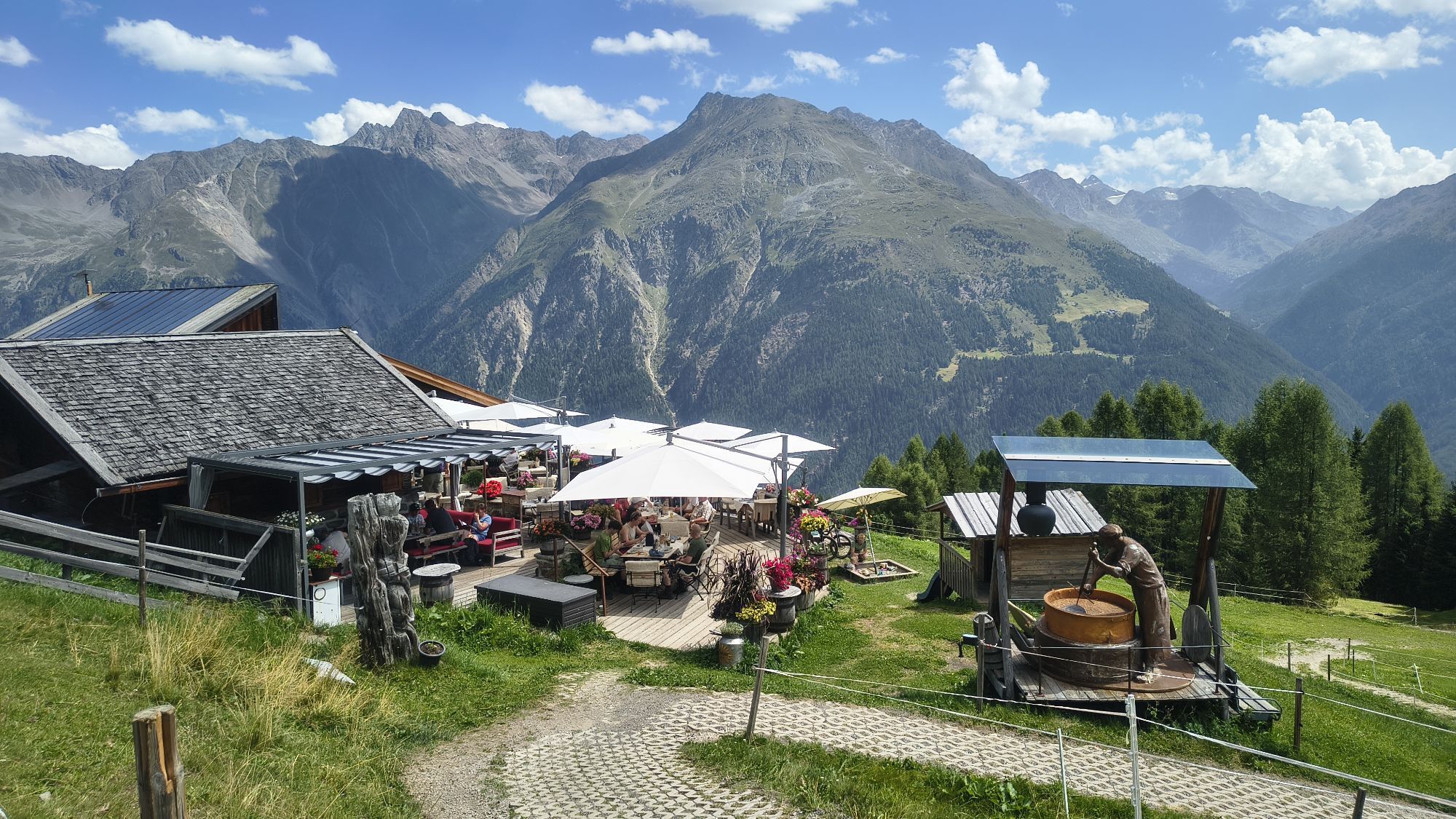
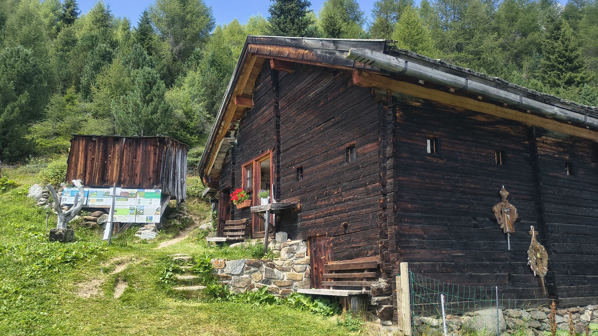
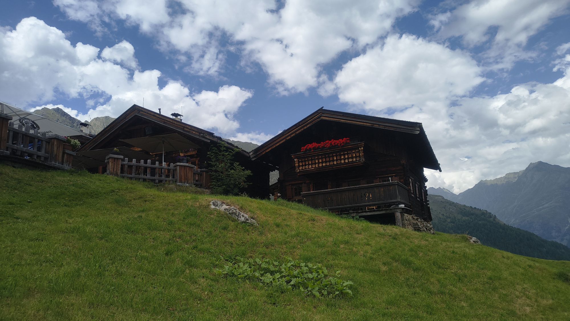
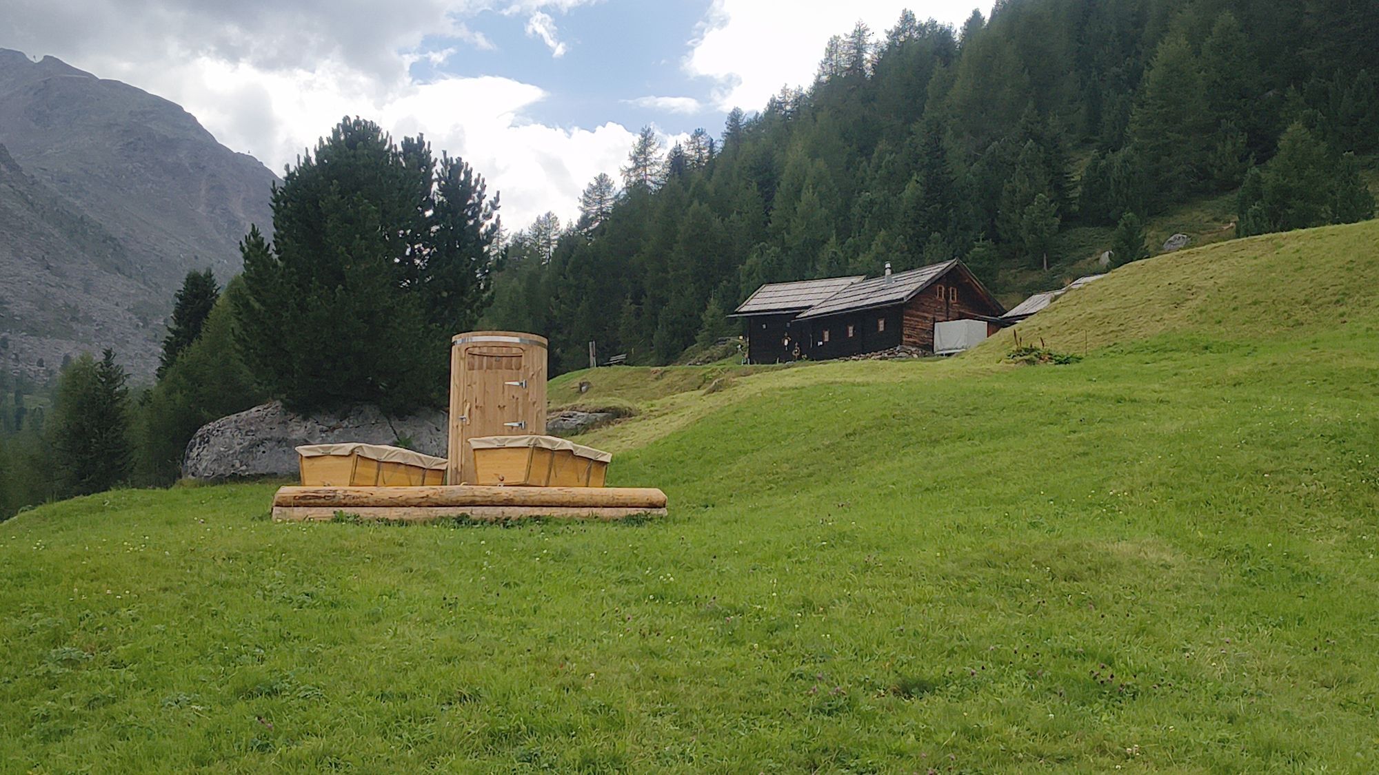
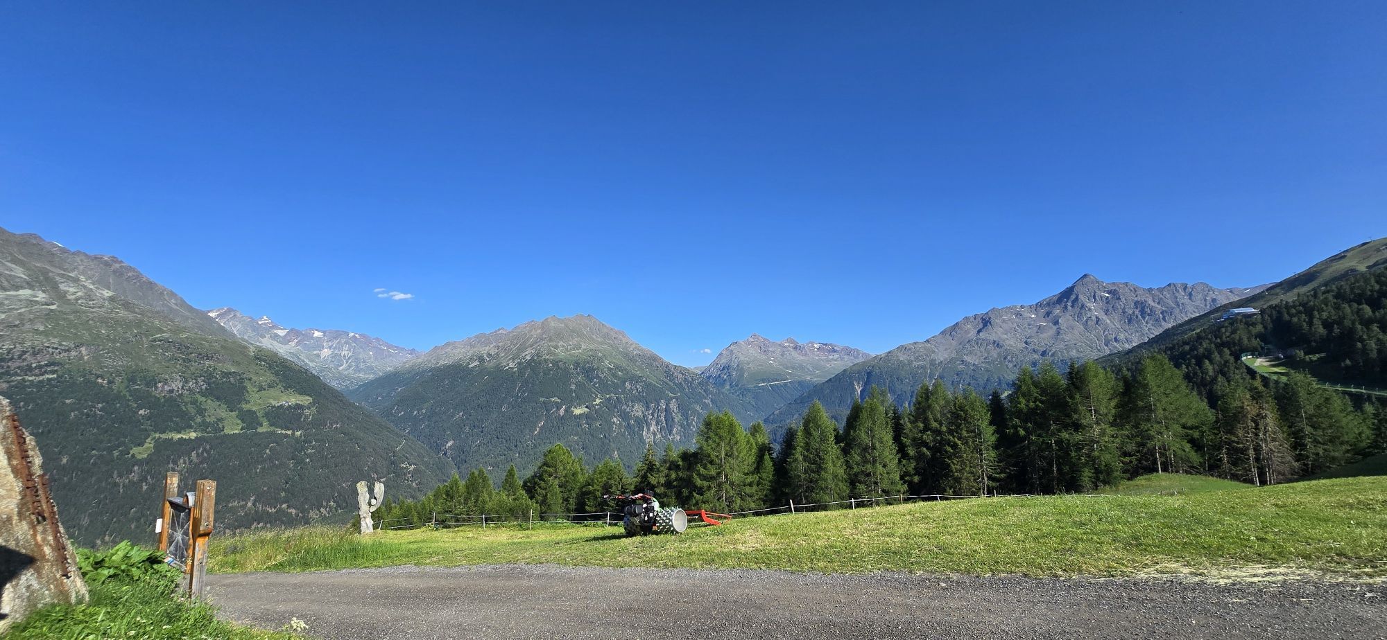
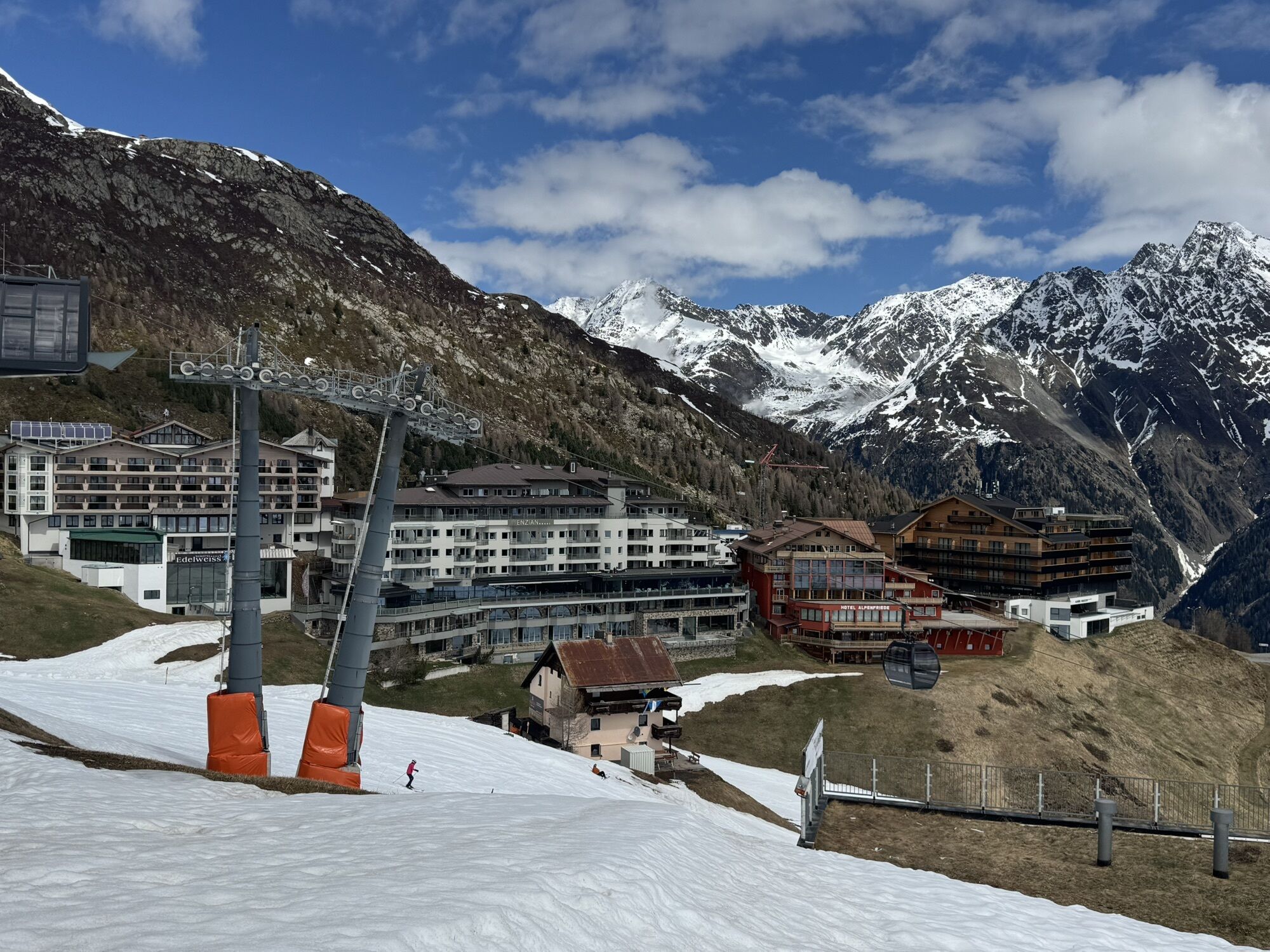
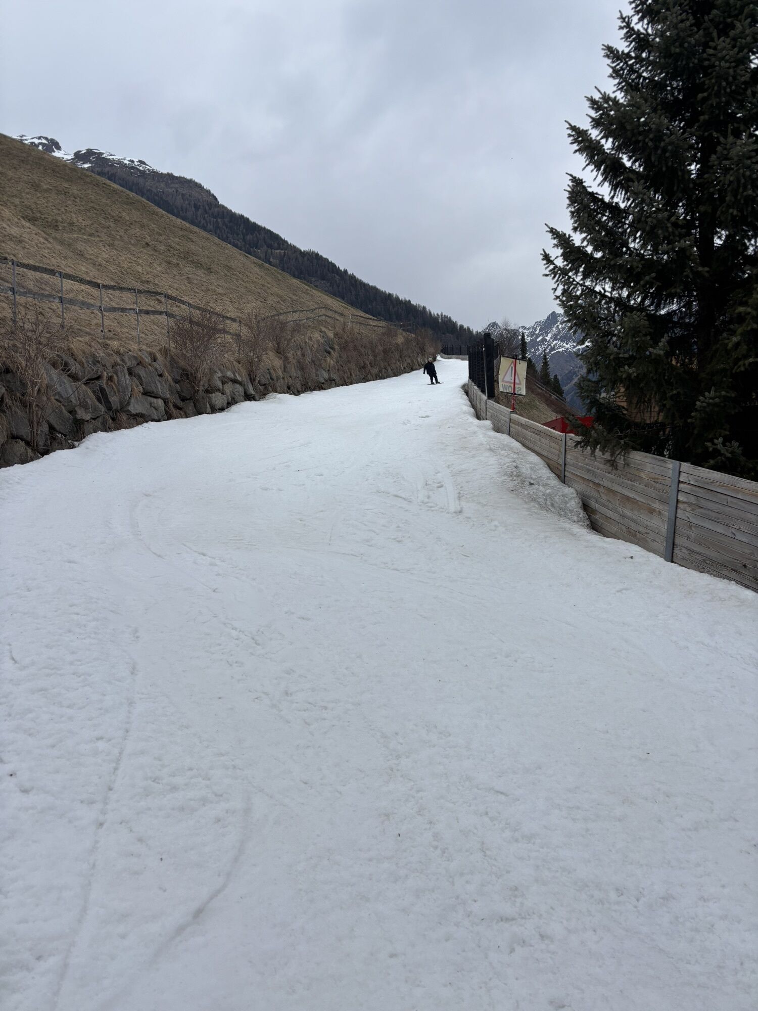
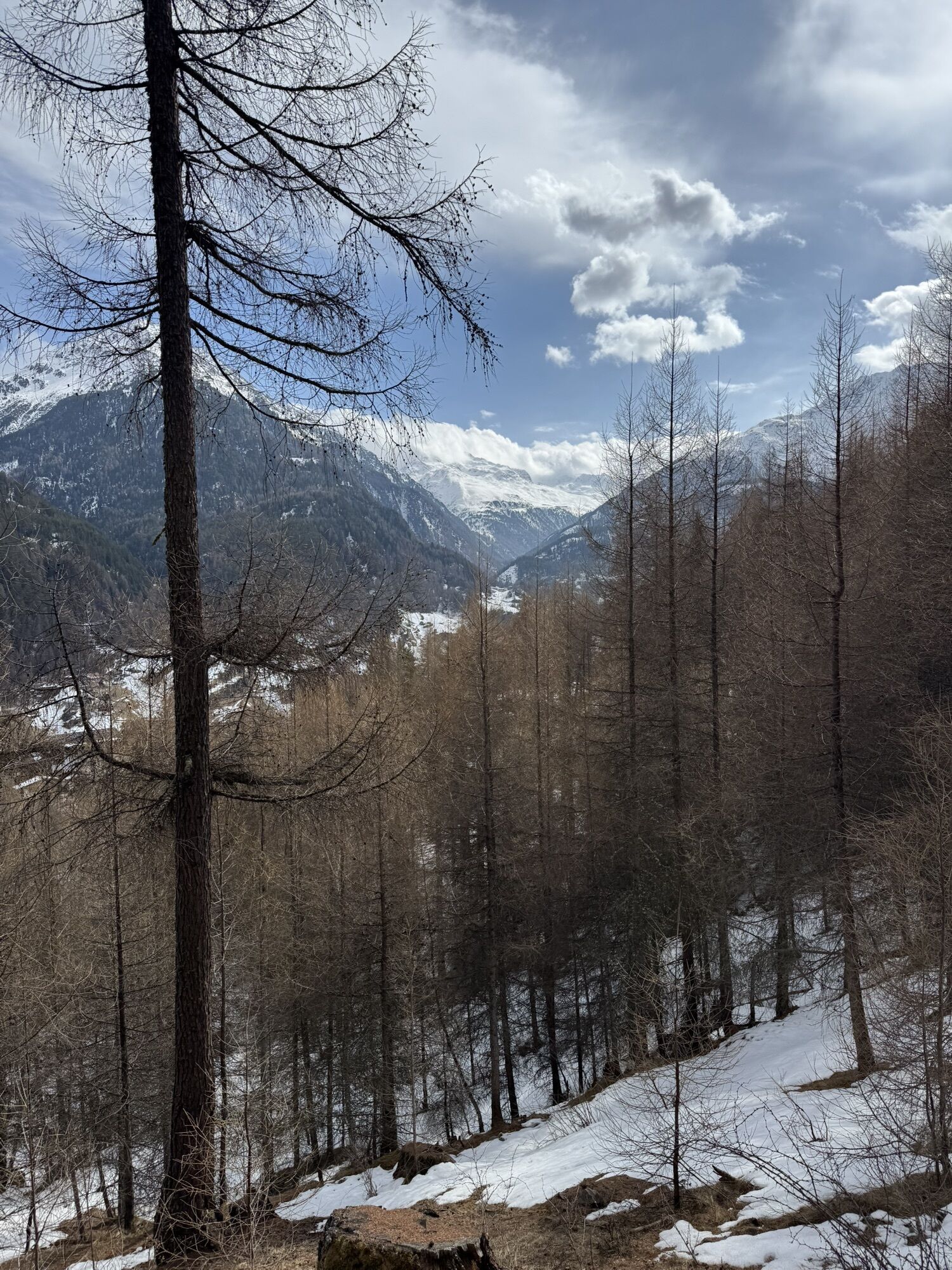
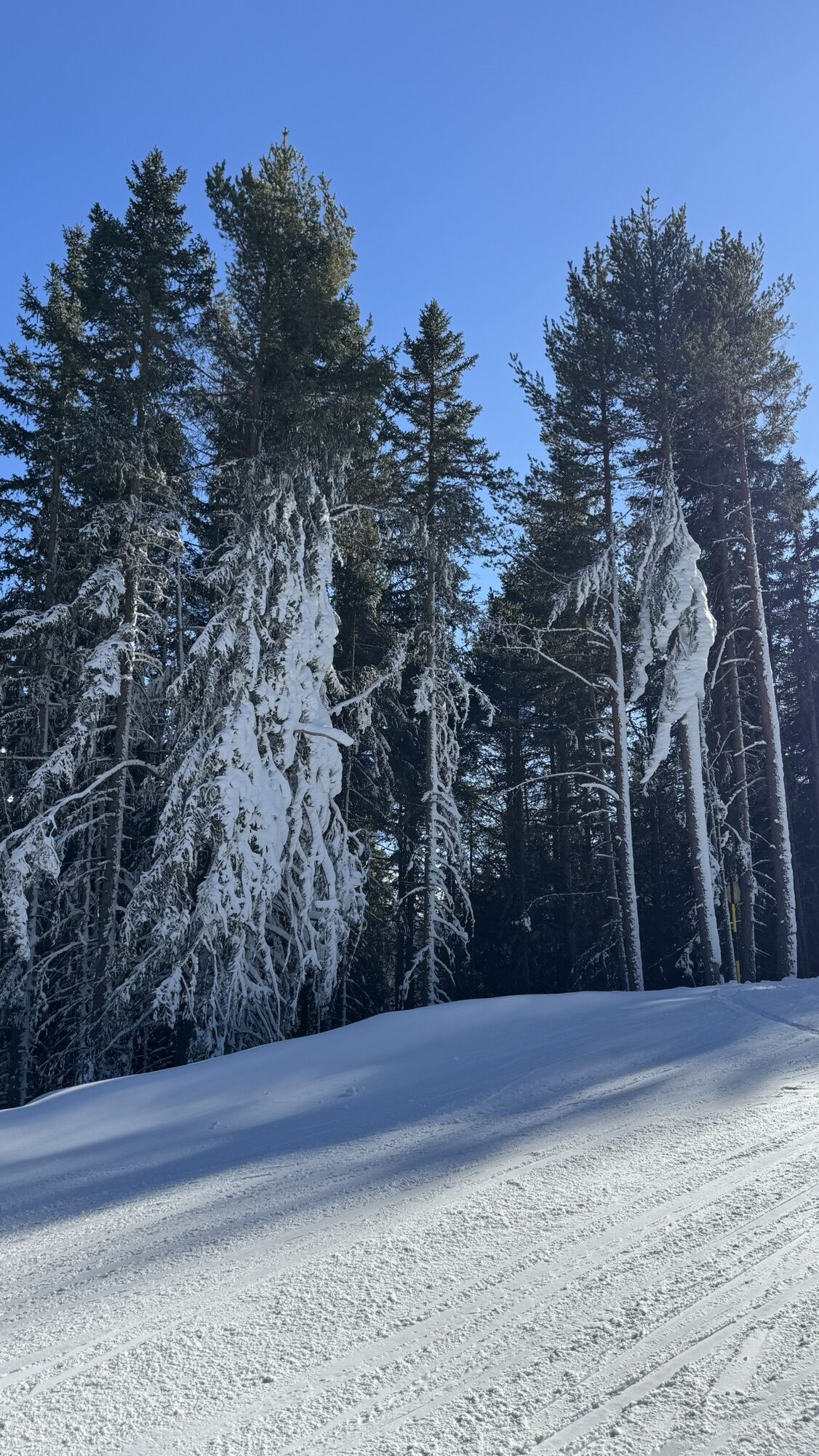
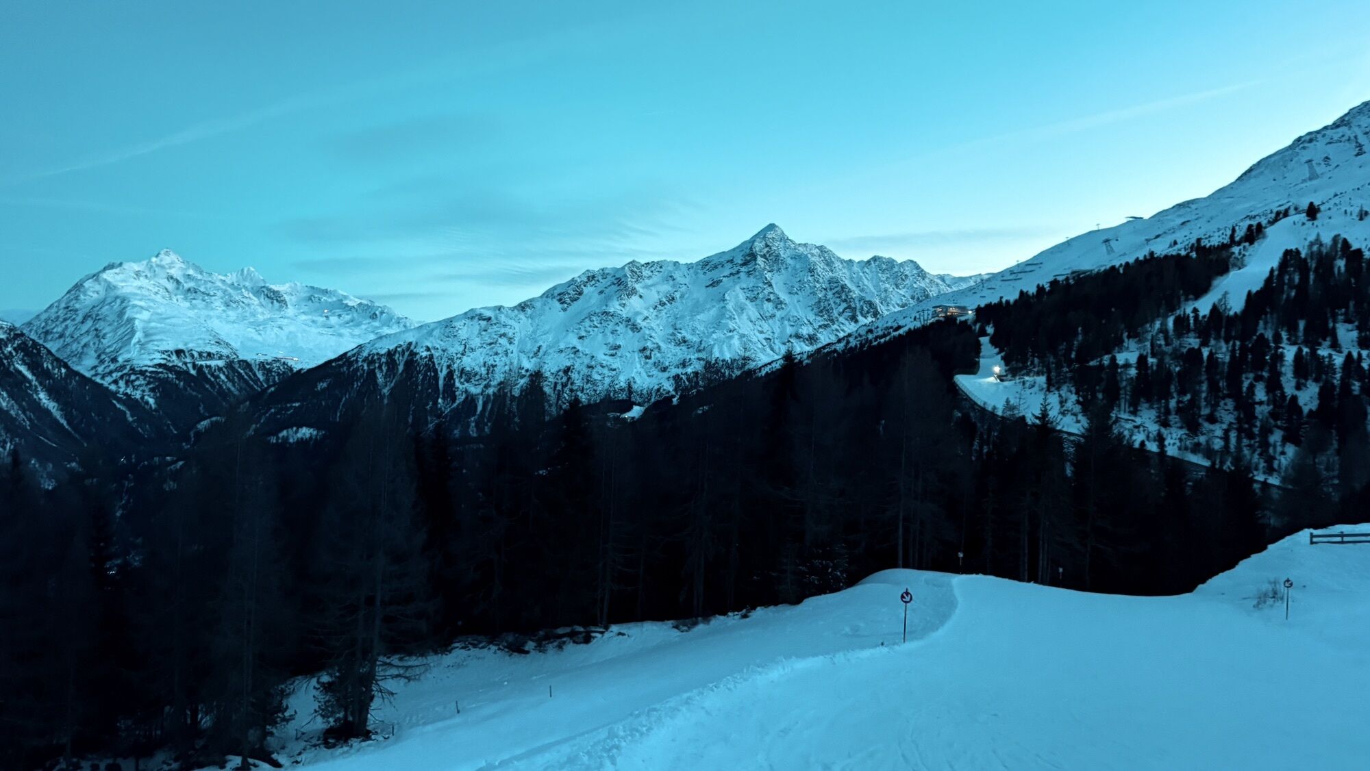
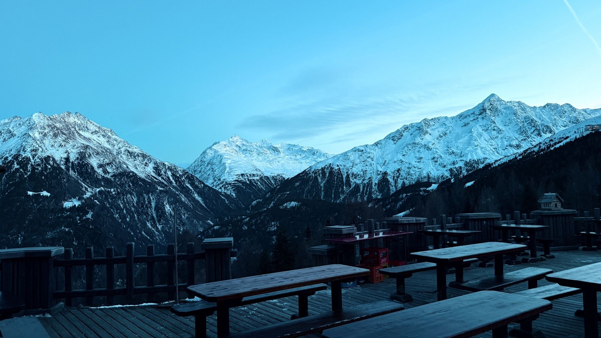
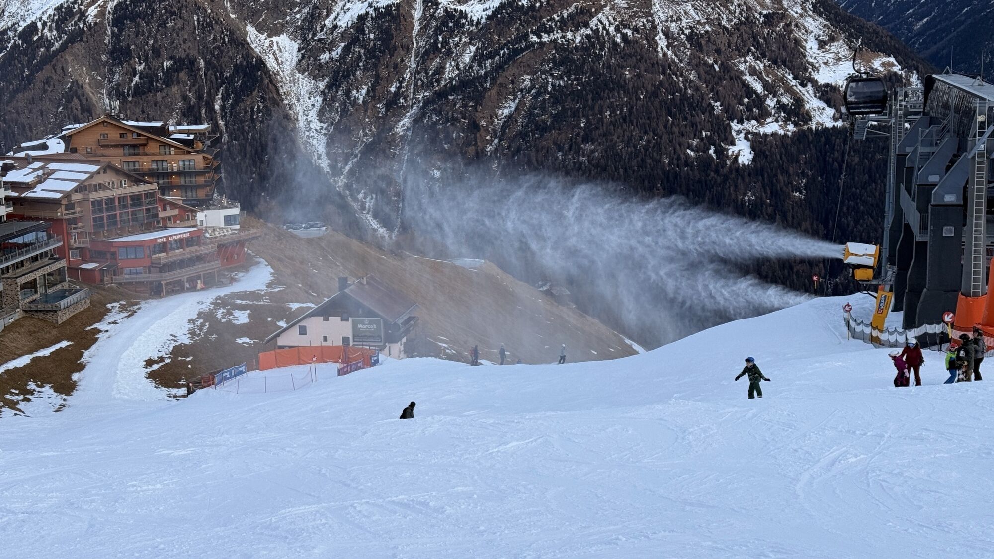

Overall, this route develops into a not too difficult, rewarding family hike in the Tyrolean Ötztal.
On this route, which starts behind the church, you hike via the district of Plödern further up to the...
Overall, this route develops into a not too difficult, rewarding family hike in the Tyrolean Ötztal.
On this route, which starts behind the church, you hike via the district of Plödern further up to the alpine pastures. Past Gampe Thaya/ Gampe Alm, it continues towards Hochsölden.
Alternative route via Hainbach, Grünwald, Maria's Alm to Hochsölden.

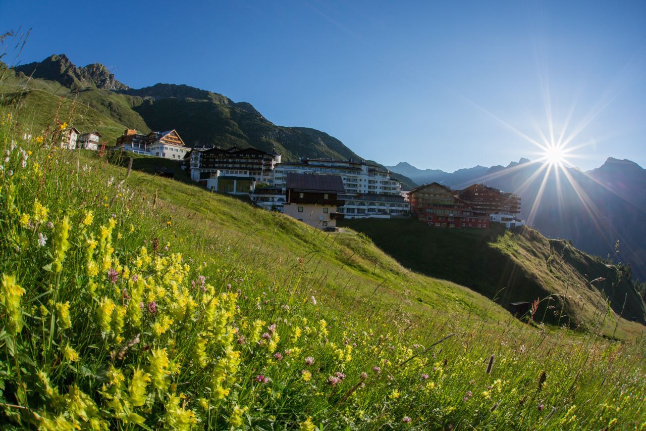
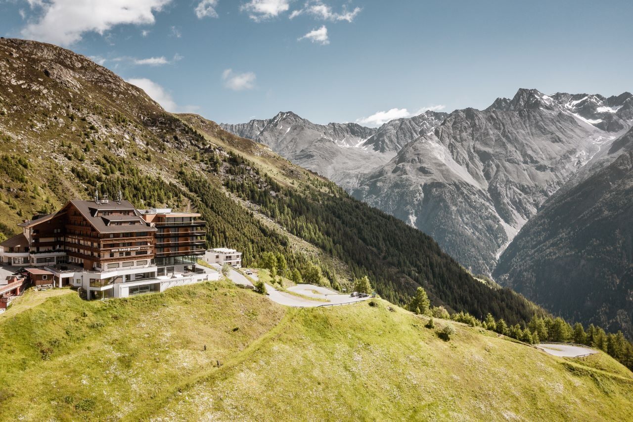

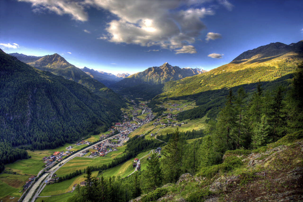
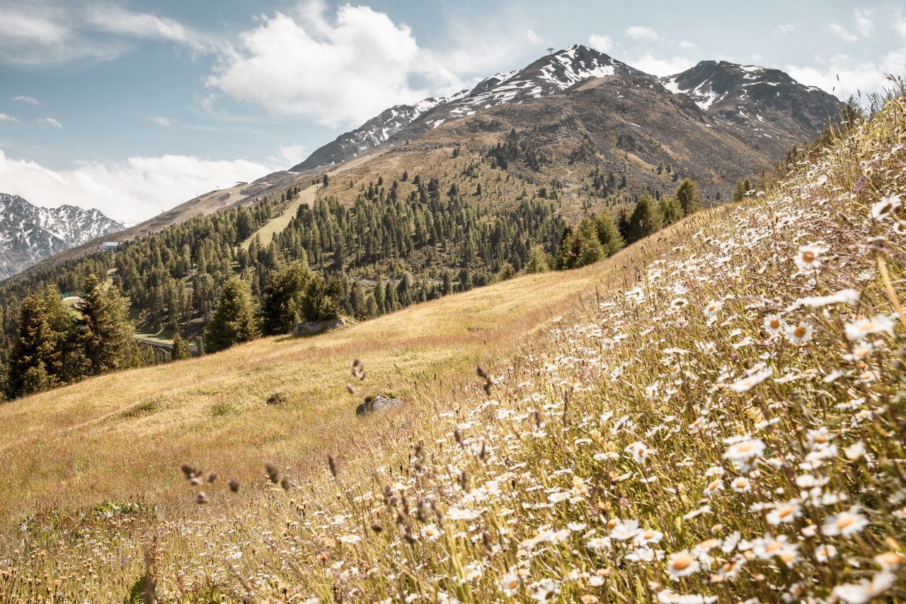
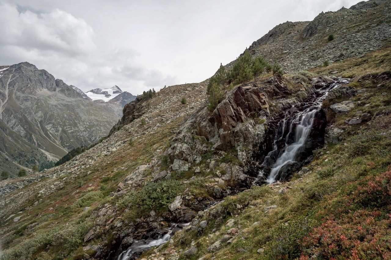
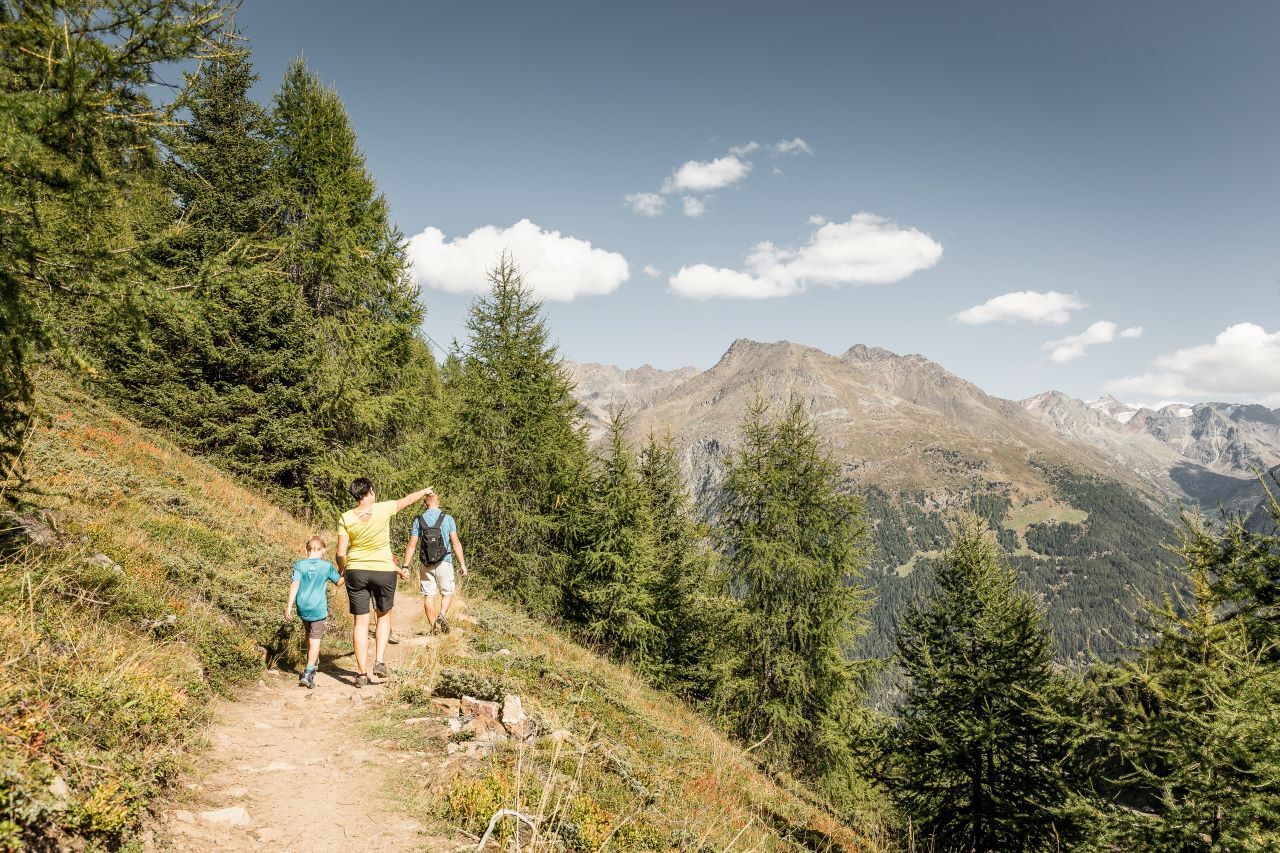
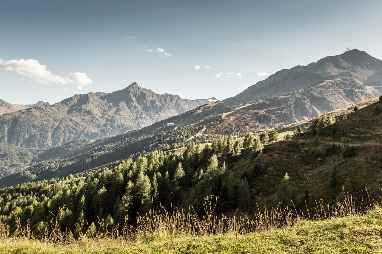

From Sölden past the church, you hike up through the dense forest via the hamlet of Plödern. The somewhat steeper forest path requires good fitness.
Arriving at Hochsölden Street, continue on the dirt road across the alpine meadows to Gampe Thaya/ Gampe Alm.
Behind the alpine pastures, you continue to ascend on the path and then, after a few bends, keep right at the junction. From there, it goes relatively flat out towards Hochsölden.
Alternative route via Hainbach, Grünwald, Maria's Alm to Hochsölden.
Áno
Appropriate equipment such as breathable and weather-appropriate outdoor clothing, ankle-high hiking boots, wind, rain and sun protection, a cap, and possibly gloves is required for all hikes and routes. It is necessary to carry a first aid kit, a mobile phone, and possibly a hiking map, as well as sufficient provisions for hikes without the possibility of stopping for food.
Red mountain trails are moderately difficult: some narrow and steep but secured walking and climbing sections await hikers.
The corresponding signs are on a yellow background and feature a red circle as the difficulty indicator.
Moderately difficult mountain path; suitable for sure-footed and experienced mountain hikers;
Good physical condition, mountain experience, and mountain equipment (see under Equipment) necessary.
Please check the current weather report at: https://www.oetztal.com/de/sommer.html
The car journey into the ÖTZTAL. Located in Tyrol, the ÖTZTAL branches off to the south as the longest side valley of the Eastern Alps. Traveling by car leads holidaymakers via the Inn valley to the valley entrance and further along the Ötztal. Besides the toll motorway, country roads can also be used.
Using the route planner, you can quickly and conveniently determine your drive: To the route planner: https://www.google.at/maps
Travel comfortably and safely by train to the Ötztal station. The final stop or exit point is the ÖTZTAL station.
Then you can conveniently and quickly travel by public transport or local taxi companies through the entire valley to your desired destination.
The current bus timetable is available at: http://fahrplan.vvt.at
The following parking options are available in Sölden:
Postplatz parking lot Stiegele parking lot Step parking lot Giggijochbahn + underground garage Gaislachkoglbahn + underground garageThe parking spaces are subject to charges.
For parking over several days (e.g., hut route):
Parking ticket either online or directly at the ticket office of the GaislachkoglbahnMore information about hiking in the Ötztal: https://www.oetztal.com/wandern
In summer, you can comfortably take the Giggijochbahn up to Giggijoch and then descend to Hochsölden in about 20 minutes.
Webové kamery z prehliadky

Obľúbené výlety v okolí
-
4,7
Winnebachsee Hut – Längenfeld/Gries
strednáTuristika 4,74 km -
4,6
Vent - Wilder Mann - Breslauer Hütte - Stableinalm
strednáTuristika 7,25 km -
4,7
Winter circular route Brandalm/Burgstein - Längenfeld 204
strednáZimná turistika 5,44 km -
4,8
Wilde Wasser Weg - Fortgeschritten
strednáTuristika 12,0 km -
5,0
Dresdner hütte - sulzenauerhütte
strednáTuristika 12,1 km -
4,5
Hohe Geige über Gawinden und den Westgrat
ťažkéTuristika 14,3 km -
4,4
Rundwanderung Hängebrück3
svetloTuristika 6,32 km -
3,8
Breslauer Hut
strednáTuristika 4,75 km -
4,3
Amberger Hut - Längenfeld/Gries
strednáTuristika 5,60 km -
4,4
Hochtour Wildspitze, 3.768m
strednáVysoké turné 9,75 km
Turistika a stopovanie


Nenechajte si ujsť ponuky a inšpiráciu na ďalšiu dovolenku
Vaša e-mailová adresa bol pridaný do poštového zoznamu.





