







Silbertal (closed in summer)
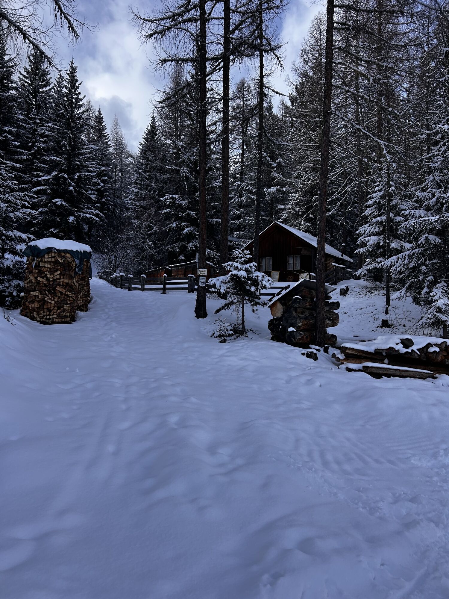
Start your hike in the center of Sölden and walk past the church towards the Innerwald district. From here, a narrow paved path leads you steeply uphill.
Through the shady Innerwald, you reach the Ötztal...
Start your hike in the center of Sölden and walk past the church towards the Innerwald district. From here, a narrow paved path leads you steeply uphill.
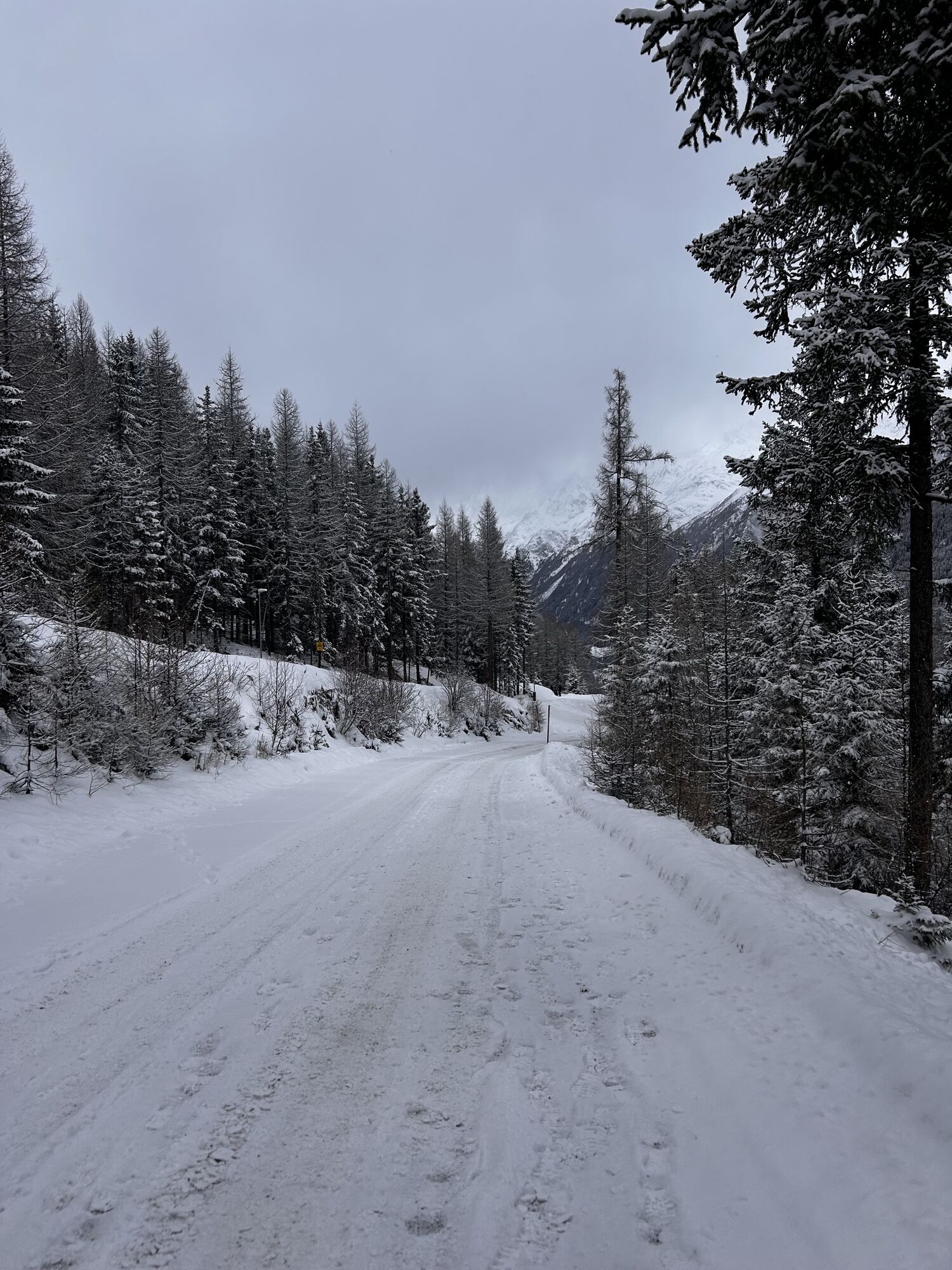
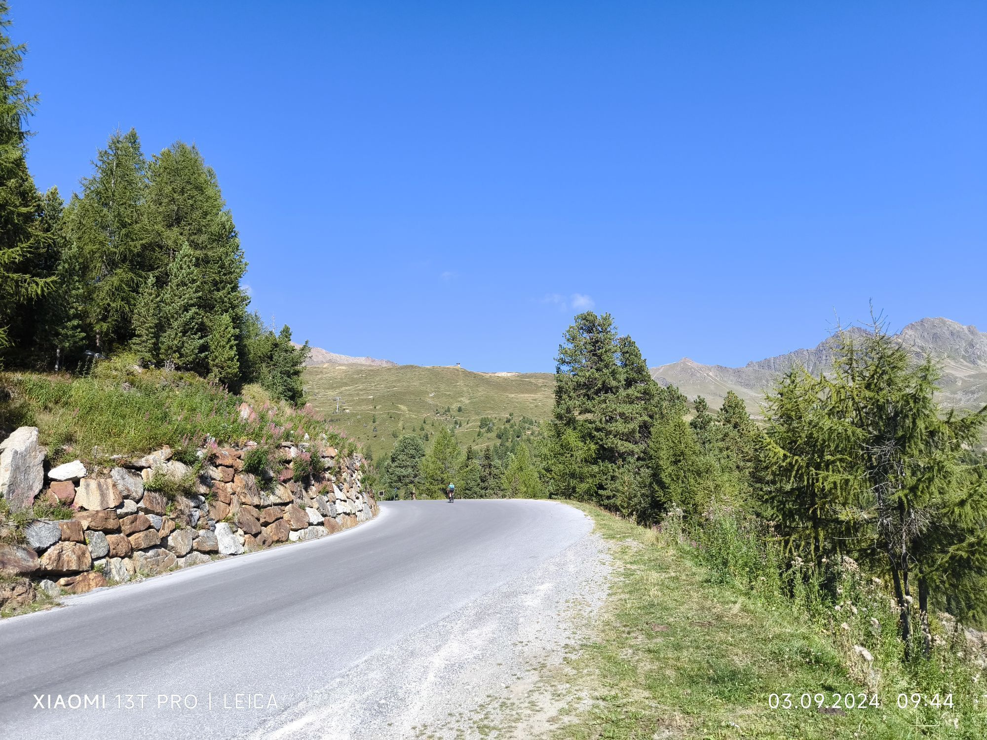
Through the shady Innerwald, you reach the Ötztal Glacier Road. Follow this road comfortably up to the "Stiegele" junction (turnoff Gaislach / Glacier Road).
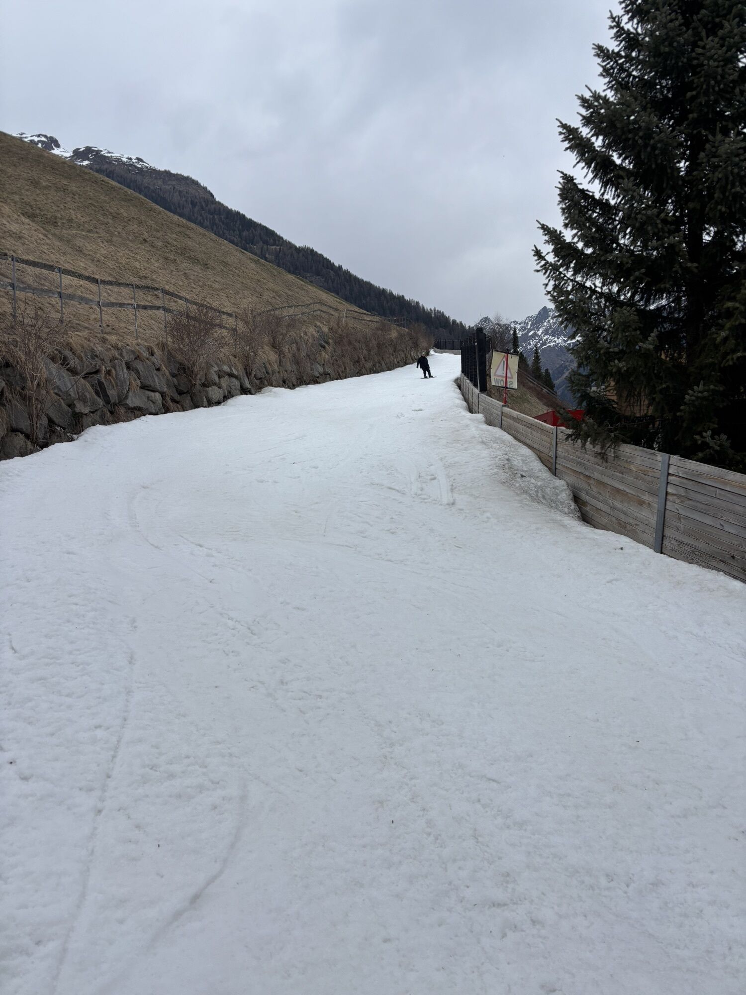
From Stiegele, the forest road first runs flat, later it rises moderately up to the first curve. The route often follows parallel to the ski slope and offers beautiful views of the surrounding mountains.
After a few curves, you reach the Alpengasthof Sonneck, an ideal rest stop. From there, it continues to the Gaislachalm and finally to the idyllic Silbertal.
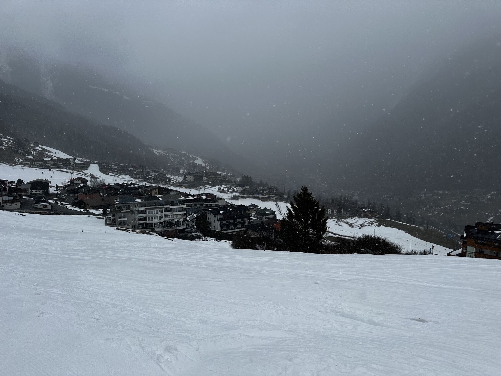
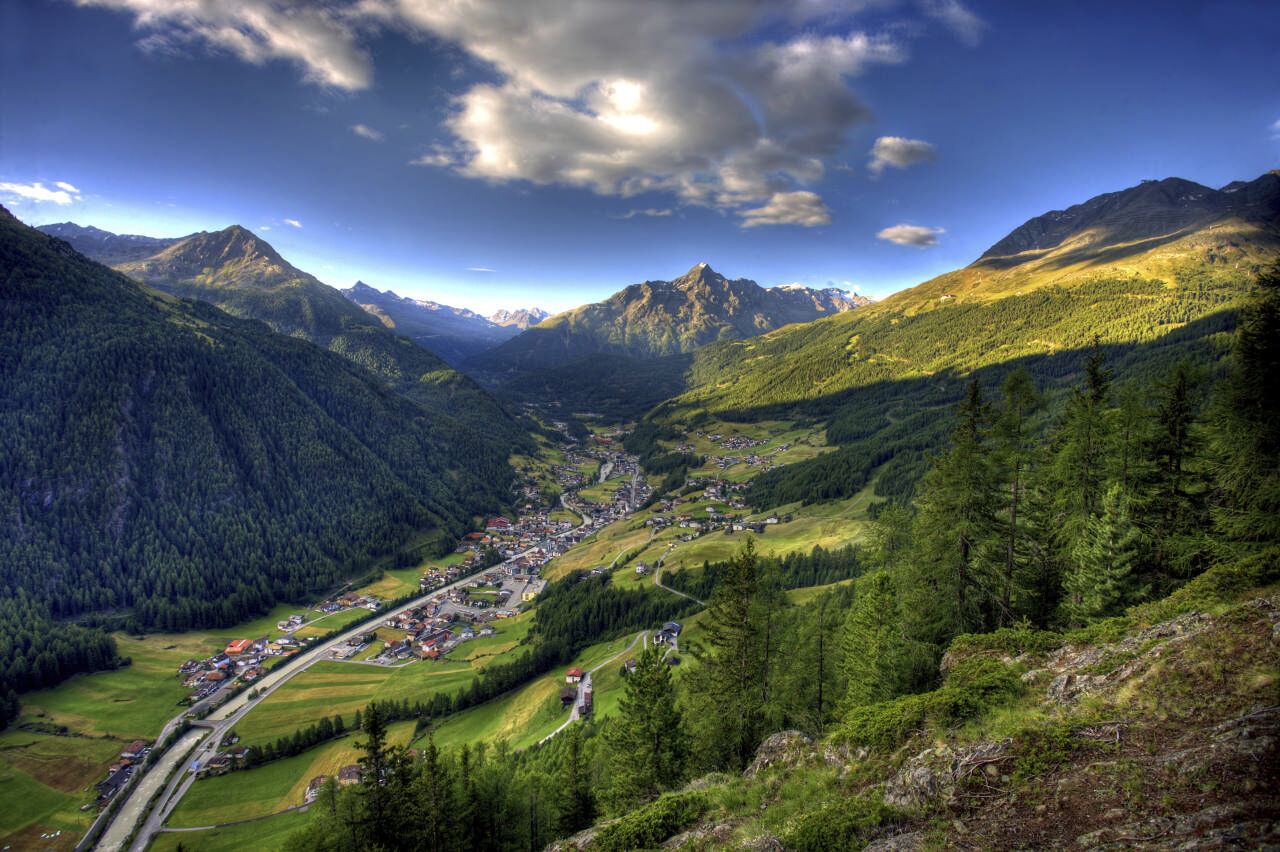
Along the way, you can enjoy the impressive view into the Ventertal – a perfect companion for your hike.

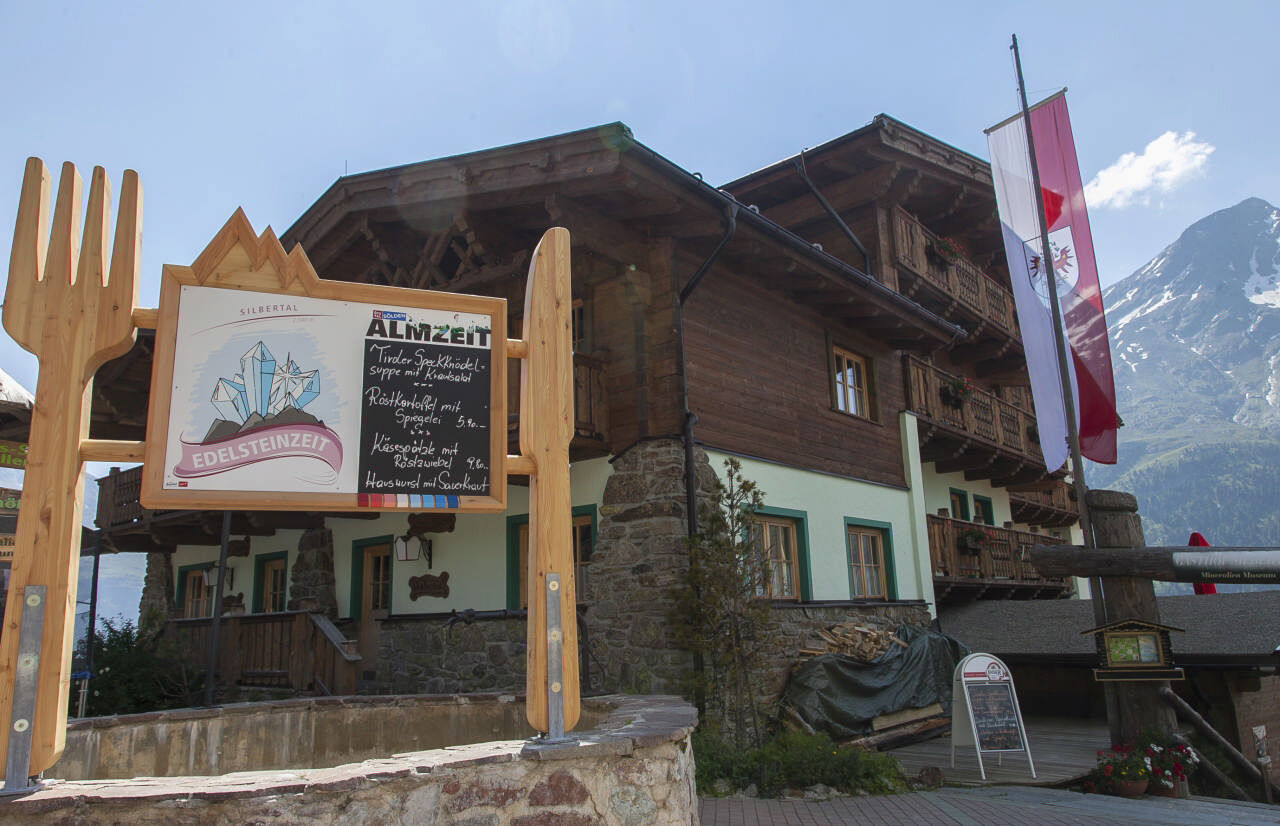
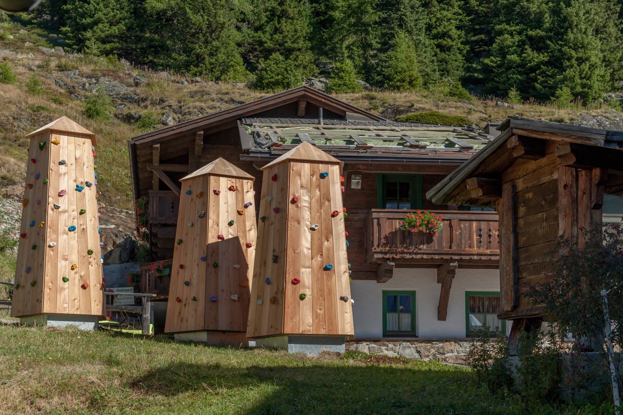
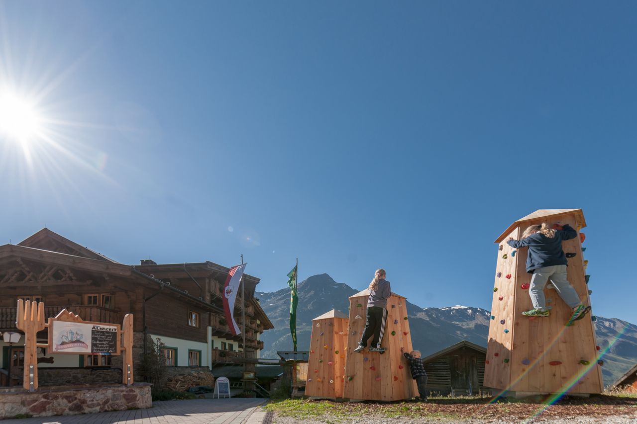
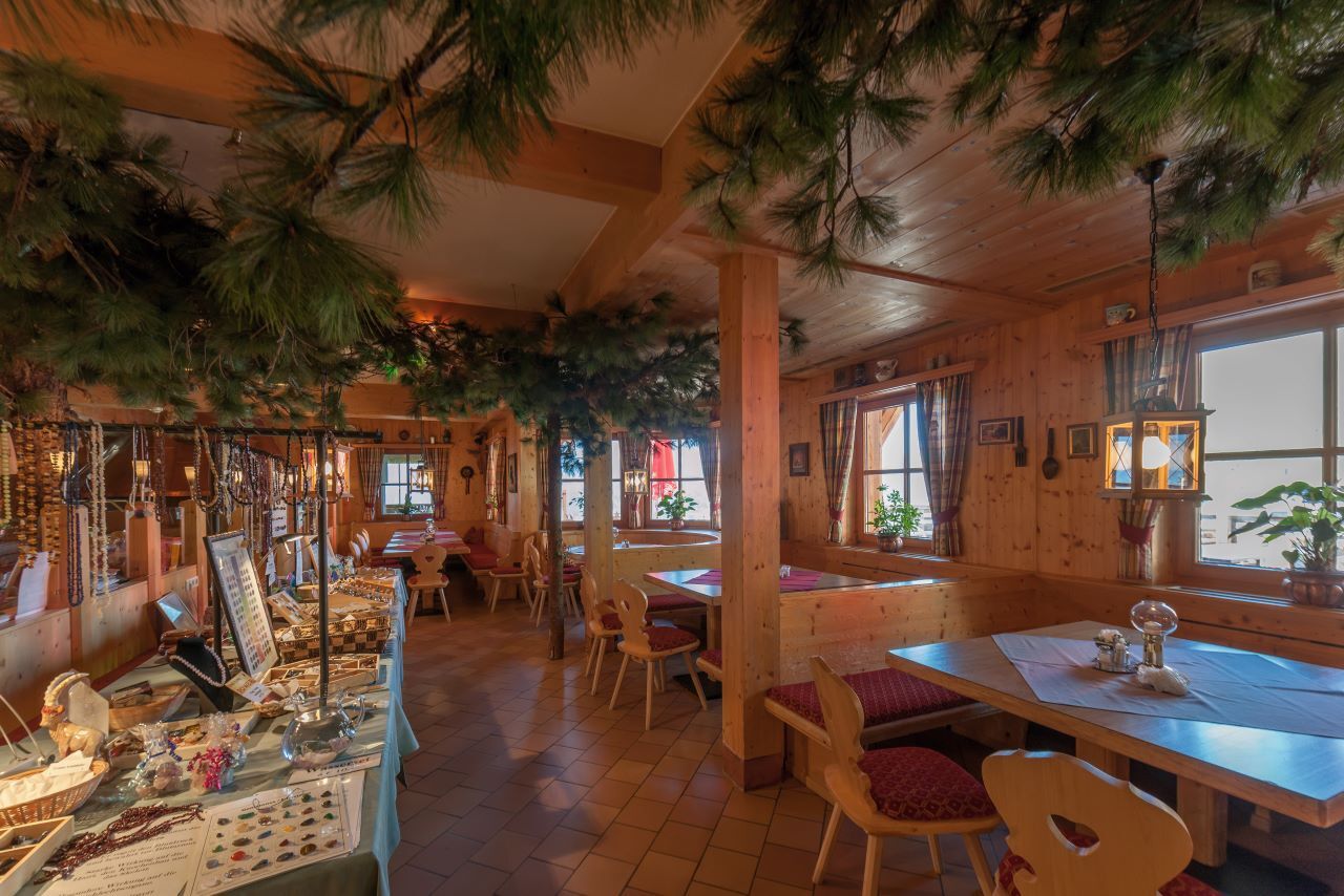
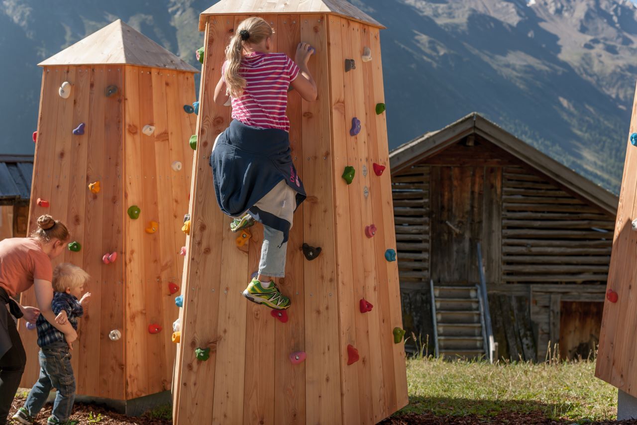
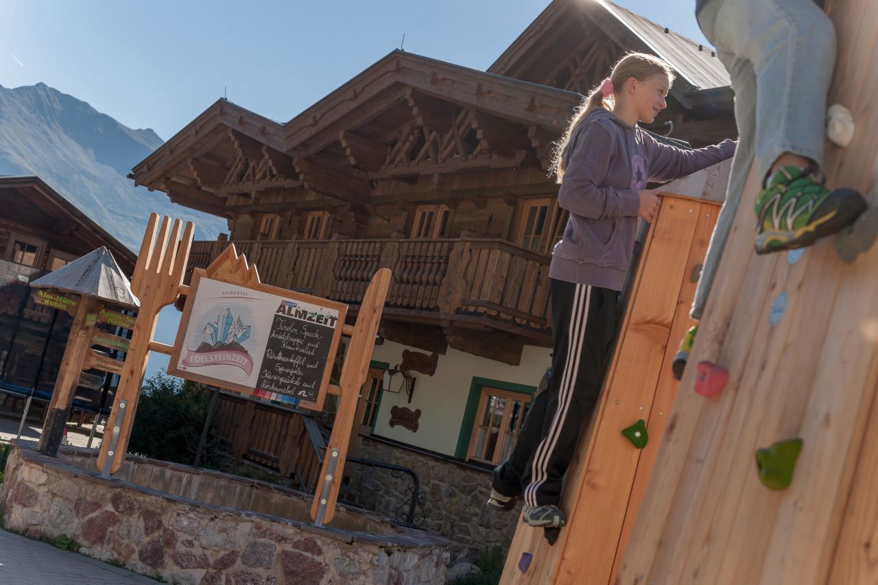
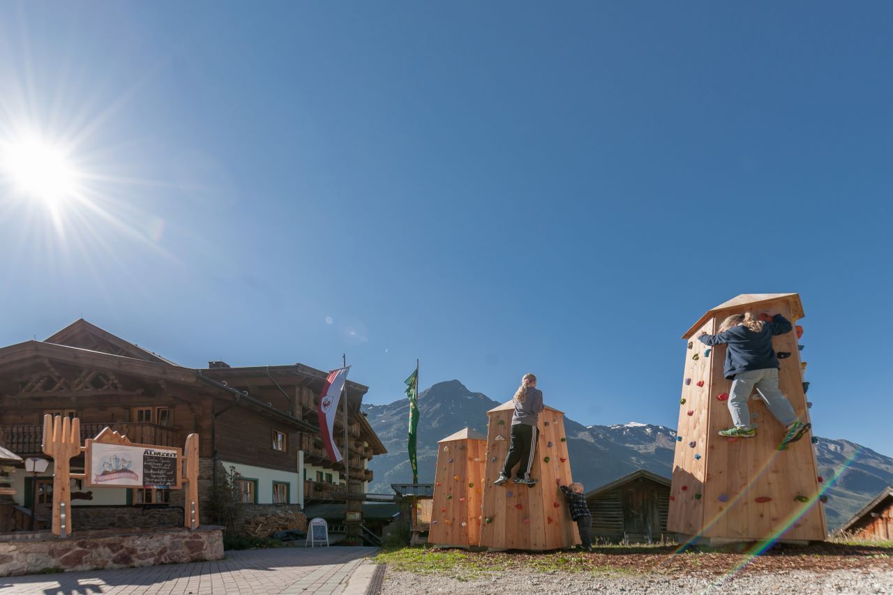

From Sölden, walk past the church along a narrow paved path steeply uphill to the Innerwald district.
Through the Innerwald, you reach the Ötztal Glacier Road. Follow this road up to Stiegele (junction Gaislach/ Glacier Road).
From Stiegele, a forest road first runs relatively flat and then climbs up to the first curve. The road often runs parallel to the ski slope.
After several curves, you first reach the Alpengasthof Sonneck, from where it goes leisurely to the Gaislachalm and then to the Silbertal.
You can enjoy the breathtaking view towards the Ventertal from there.
Áno
Proper equipment such as breathable and weather-appropriate outdoor clothing, ankle-high hiking boots, wind, rain and sun protection, hat, possibly gloves, is required for all hikes and routes.
Taking a first aid kit, a mobile phone, and possibly a hiking map, as well as sufficient provisions for hikes without dining options, is necessary.
Red mountain paths are moderately difficult: some narrow and steep but secured walking and climbing passages await hikers.
The appropriate signs are yellow with a red circle indicating the difficulty level.
For red mountain paths: Moderately difficult mountain path; suitable for sure-footed and experienced mountain hikers;
Good physical condition, mountain experience, and mountain equipment (see under equipment) are necessary.
Please observe the current weather report at: https://www.oetztal.com/de/sommer.html
The car trip into the ÖTZTAL.
Located in Tyrol, the ÖTZTAL branches south as the longest side valley of the Eastern Alps. Travelers by car come via the Inn Valley to the valley entrance and then continue along the Ötztal.
In addition to the toll highway, country roads can also be used.
With the route planner, you can quickly and conveniently determine your trip: To the route planner: https://www.google.at/maps
Travel comfortably and safely by train to the Ötztal station.
The final stop or exit point is ÖTZTAL station.
Afterwards, you can conveniently and quickly continue by public bus or local taxi services throughout the valley to your desired destination.
The current bus timetable is available at: http://fahrplan.vvt.at
In Sölden, the following parking facilities are available:
Postplatz parking lot Stiegele parking lot Tiered parking lot Giggijochbahn + underground garage Gaislachkoglbahn + underground garage Hochsölden parking lot Hochsölden 1st parking deck garage Zwieselstein parking lot Zwieselstein/Sports field parking lotThe parking lots are chargeable.
For parking for several days (e.g., hut tour):
Gaislachkoglbahn garage; parking ticket either online or directly at the Gaislachkoglbahn ticket counterMore information about hiking in the Ötztal: https://www.oetztal.com/wandern
The town shuttle is also open in summer, allowing you to comfortably overcome the first altitude meters.
Webové kamery z prehliadky
-
Seekogel
-
Gaislachkogel
-
Sölden - Tiefenbachferner Tal
-
Sölden - Hochsölden
-
Sölden - Grünwald Resort
-
Top Mountain Crosspoint Hochgurgl
-
Sölden - Grünwald Resort
-
Giggijoch
-
Giggijoch
-
Sölden - Gaislachkogelbahn Mittelstation
-
Sölden - Schwarzkogl Talstation
-
Hochstubaihütte
-
Hochstubaihütte
-
Sölden Ort
-
The Peak Sölden**** Chalets und Appartements
Získajte prehľad
Vždy naživo na mieste s viac ako 9 500 webovými kamerami. bergfex Ako používateľ Pro si teraz môžete pozrieť príslušné webové kamery pre mnohé zájazdy v aplikácii zájazdy z. Môžete si tak priamo prezerať aktuálne podmienky.
Obľúbené výlety v okolí
-
4,7
Winnebachsee Hut – Längenfeld/Gries
strednáTuristika 4,74 km -
4,5
Vent - Wilder Mann - Breslauer Hütte - Stableinalm
strednáTuristika 7,25 km -
4,7
Winter circular route Brandalm/Burgstein - Längenfeld 204
strednáZimná turistika 5,44 km -
4,8
Wilde Wasser Weg - Fortgeschritten
strednáTuristika 12,0 km -
5,0
Dresdner hütte - sulzenauerhütte
strednáTuristika 12,1 km -
4,5
Rundwanderung Hängebrück3
svetloTuristika 6,32 km -
3,8
Breslauer Hut
strednáTuristika 4,75 km -
4,3
Amberger Hut - Längenfeld/Gries
strednáTuristika 5,60 km -
4,4
Hochtour Wildspitze, 3.768m
strednáVysoké turné 9,75 km -
4,3
Hohe Geige über Gawinden und den Westgrat
ťažkéTuristika 14,3 km
Turistika a stopovanie


Nenechajte si ujsť ponuky a inšpiráciu na ďalšiu dovolenku
Vaša e-mailová adresa bol pridaný do poštového zoznamu.





