







Rettenbachalm

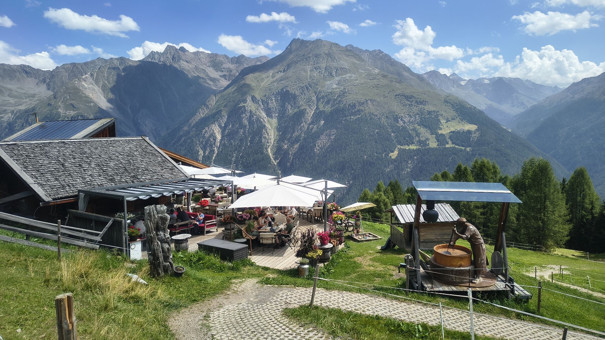
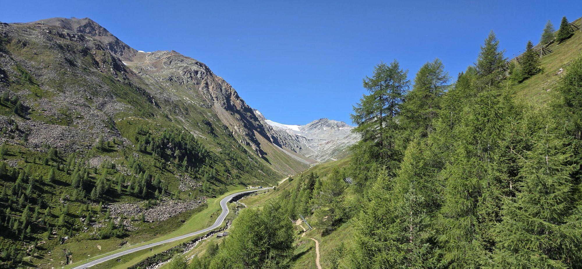
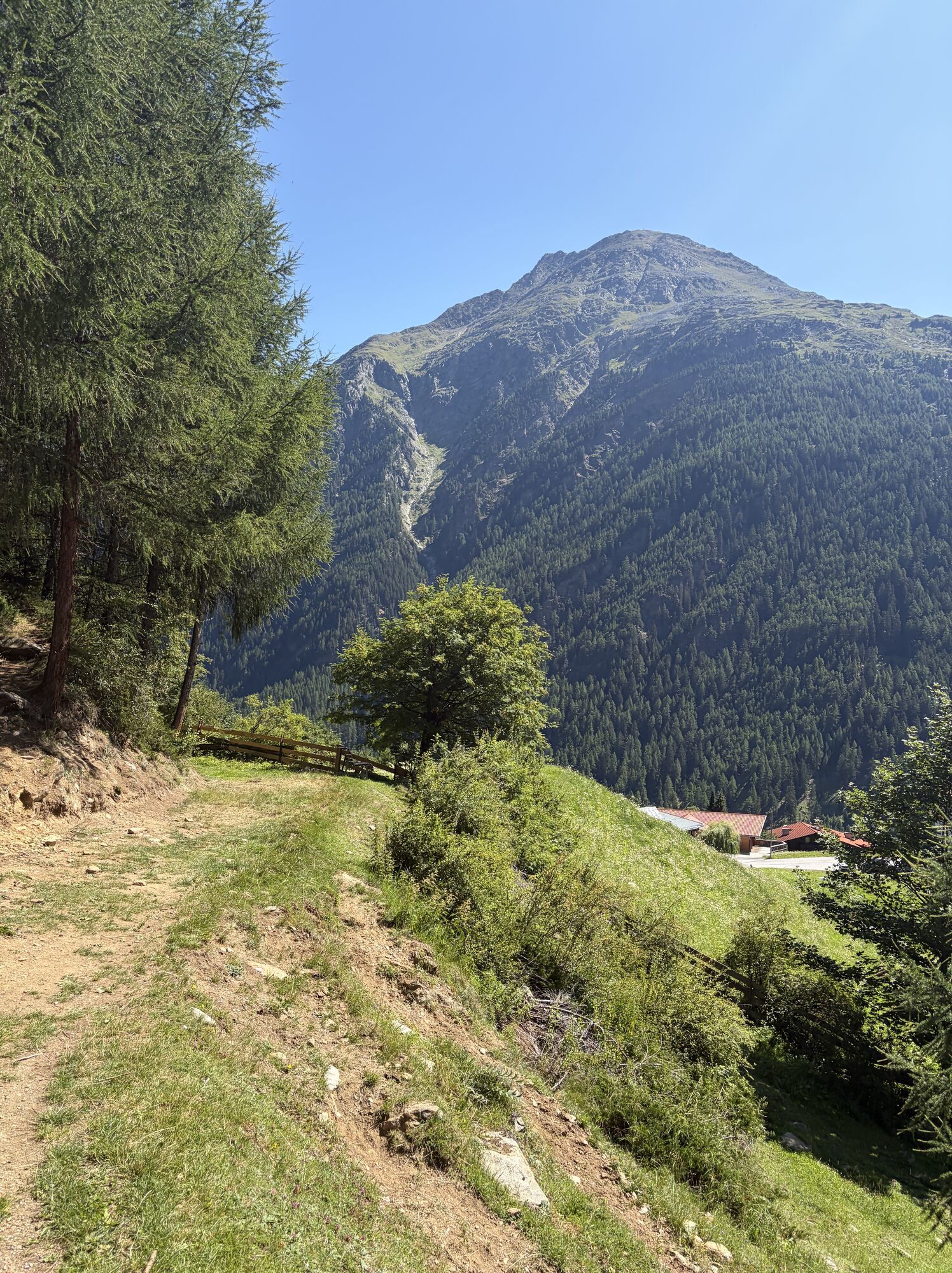
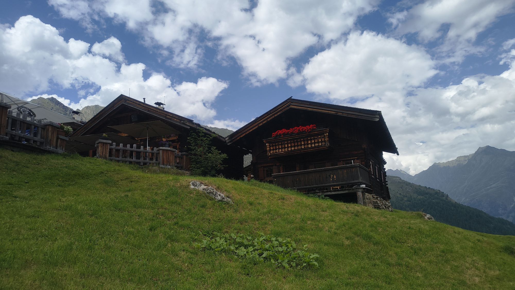
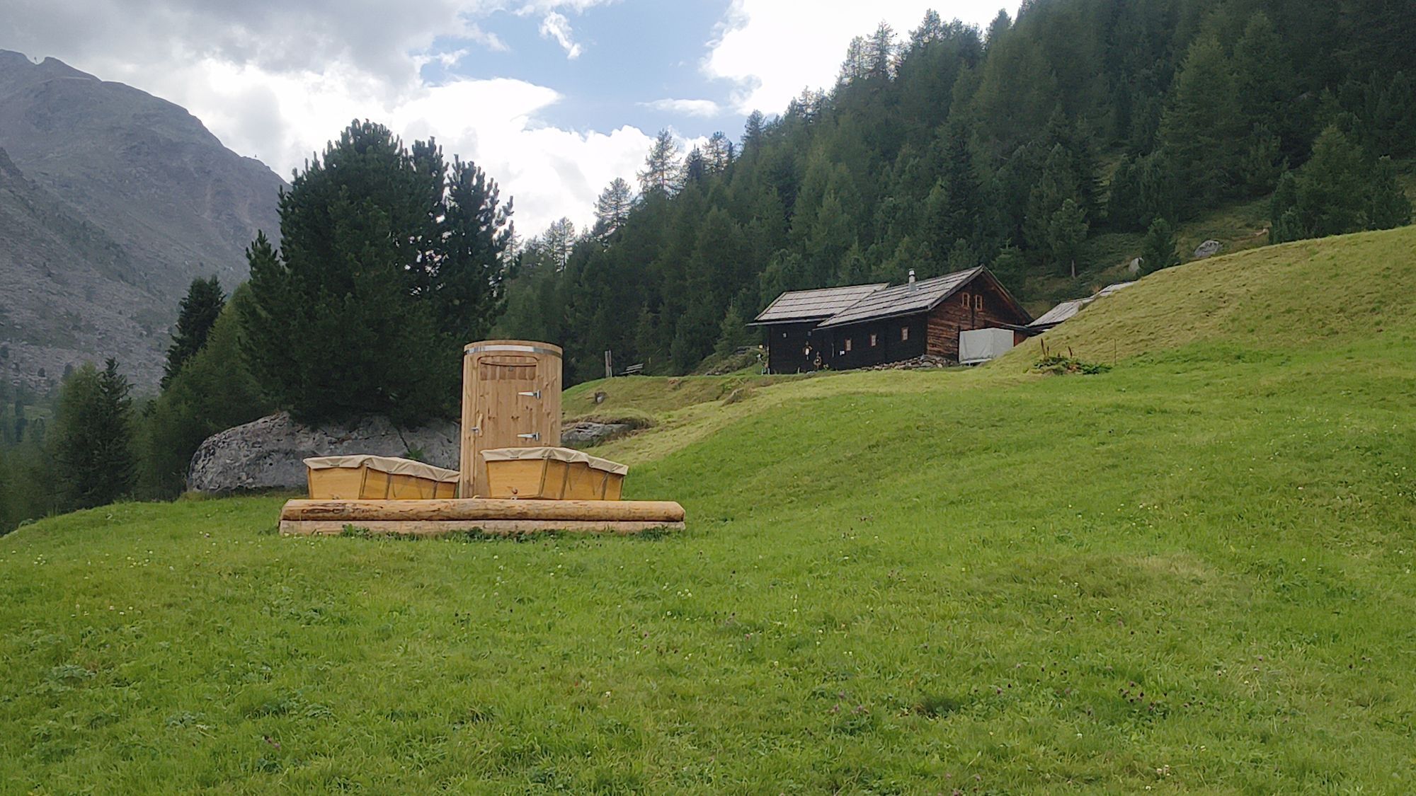
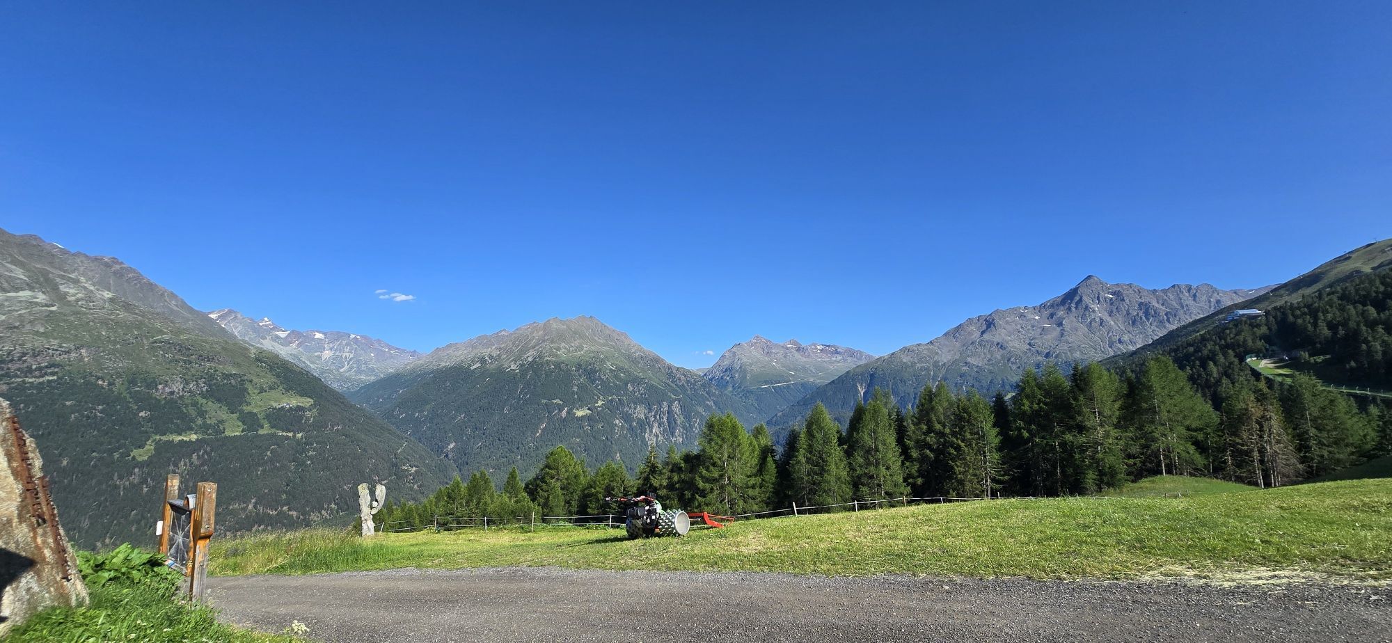
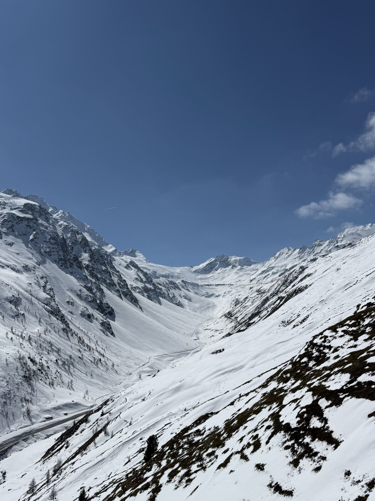
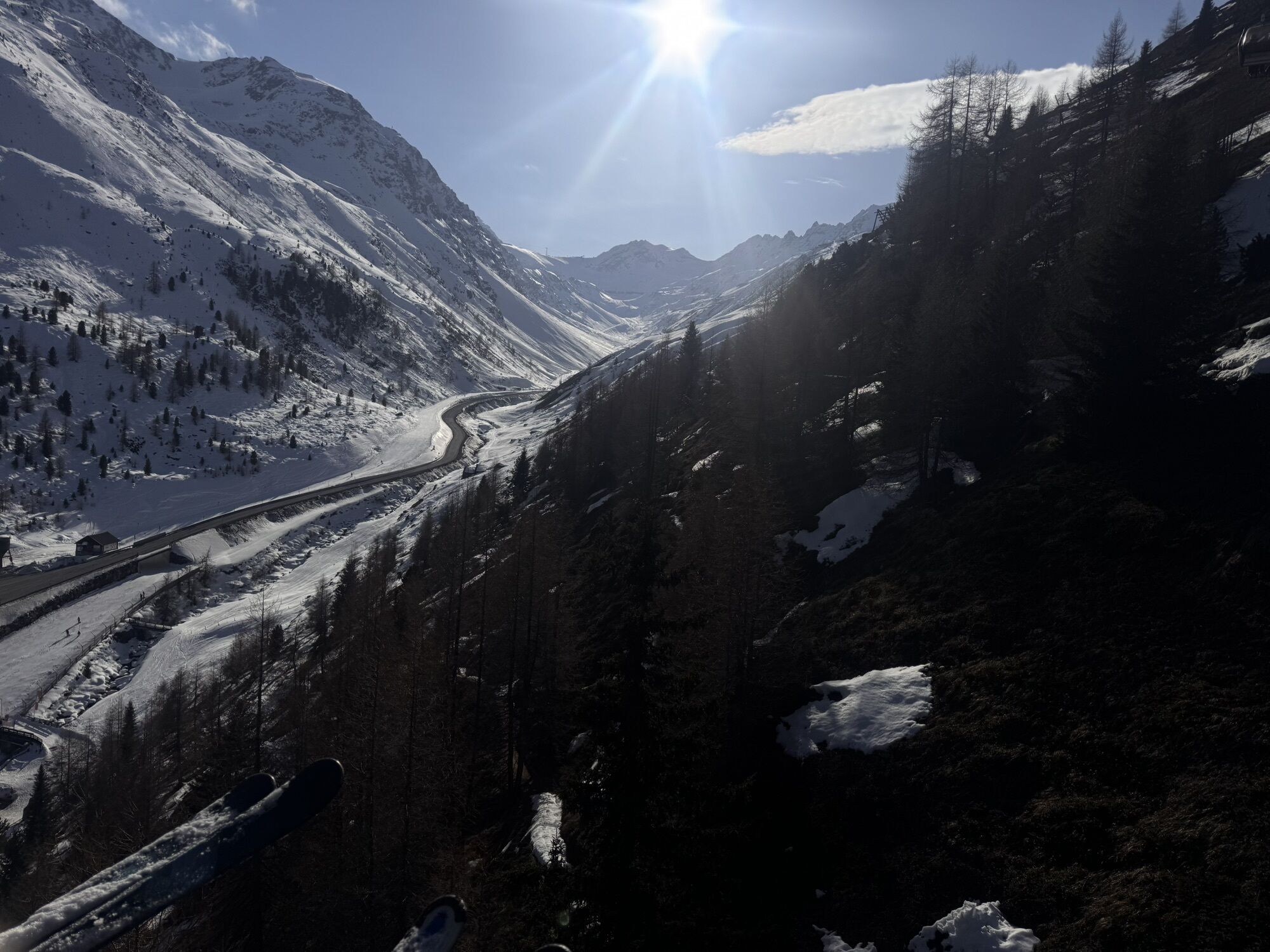
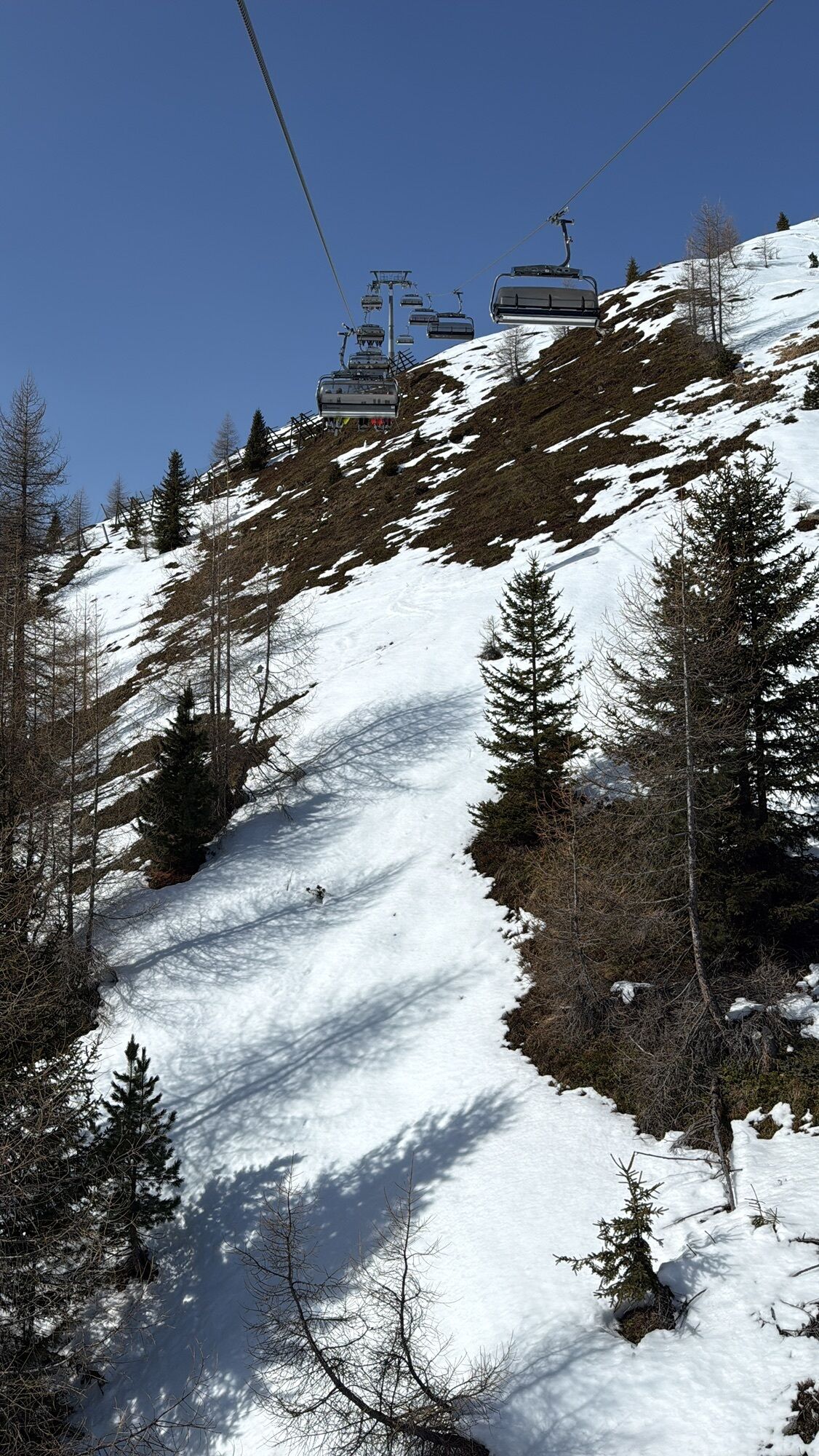
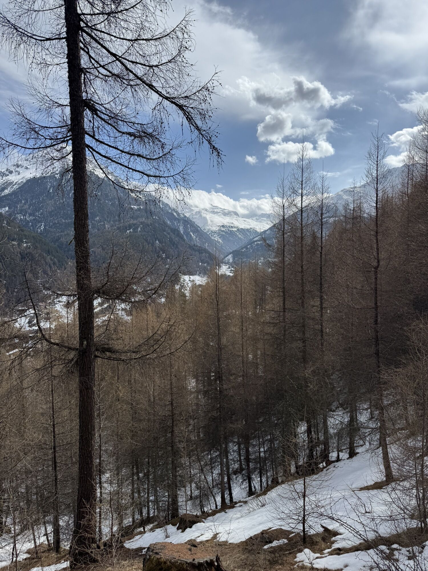
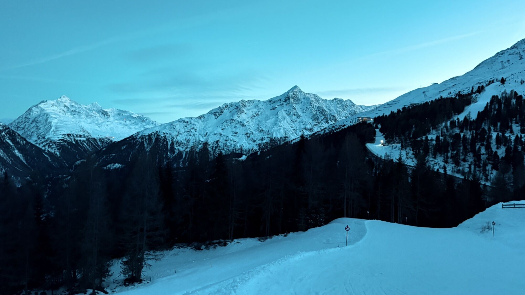
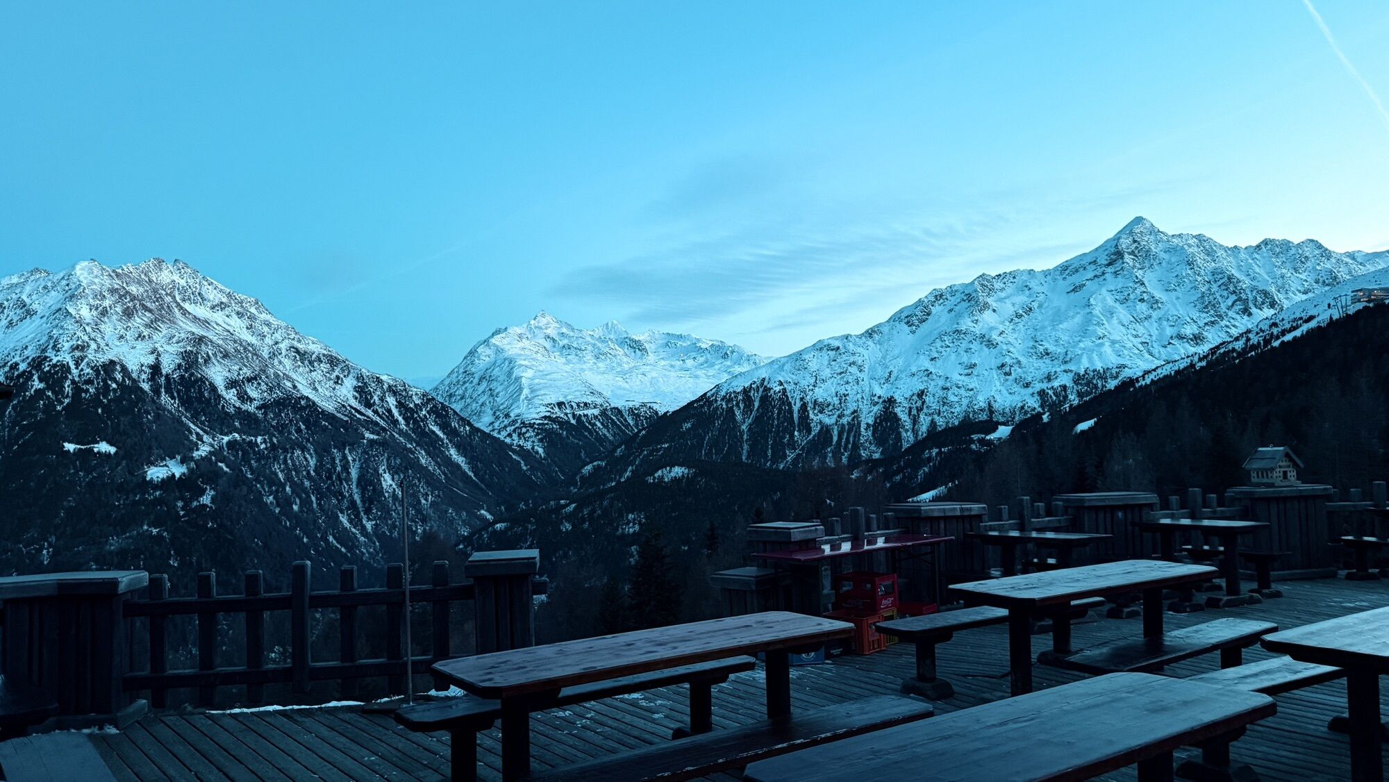
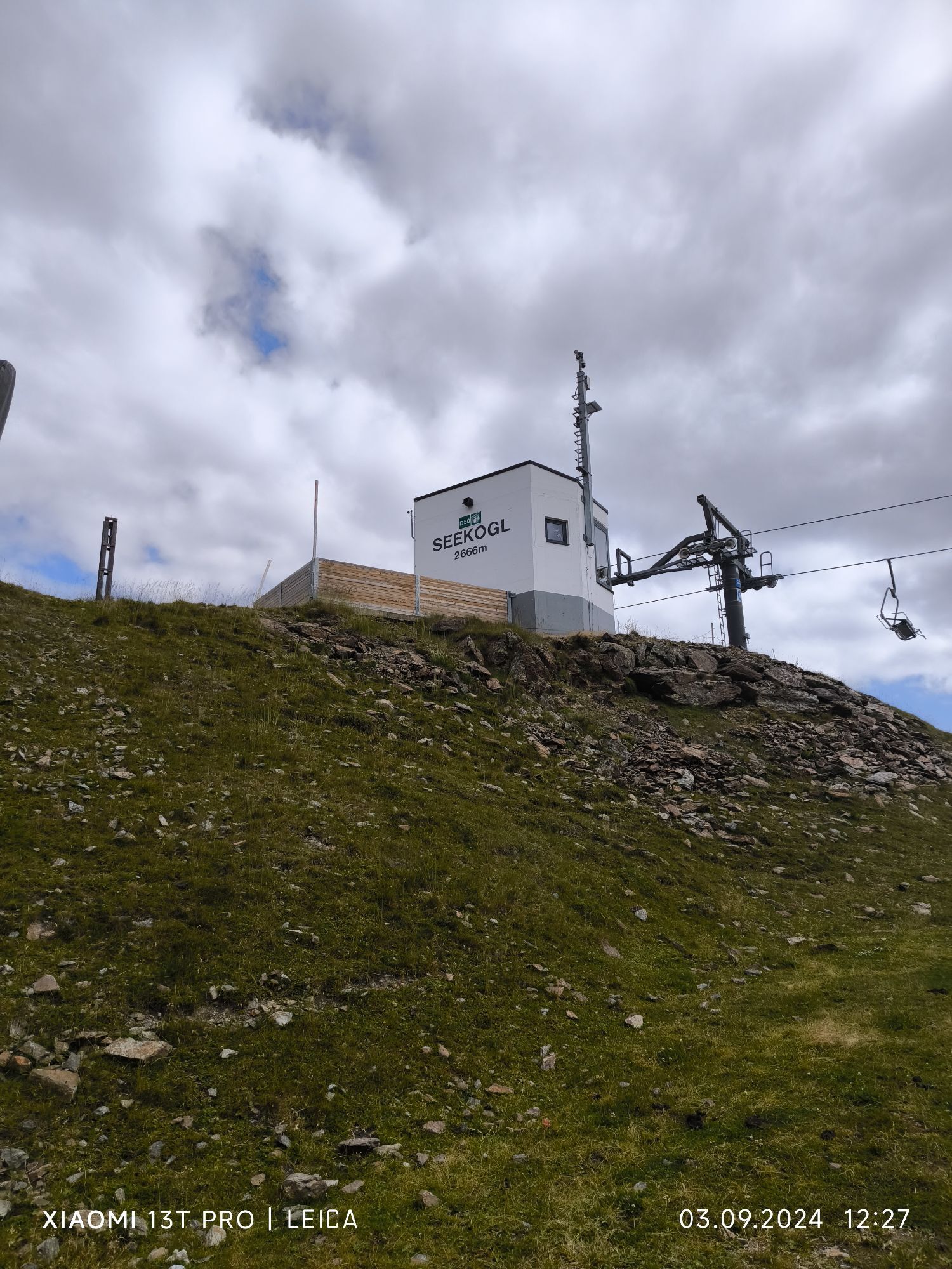
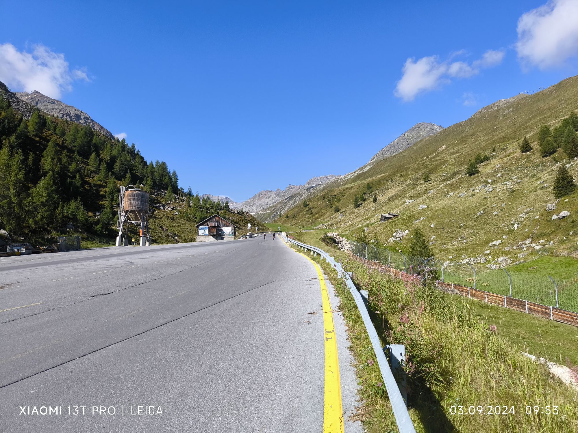
From Sölden you walk towards the church and continue to Grünwald. From there you take the steep forest path towards Hochsölden to the Gampe Alm junction.
When you pass the Gampe Alm you keep south to the...
When you pass the Gampe Alm you keep south to the marked path, slightly ascending past the Hühnersteige to the Rettenbachalm.

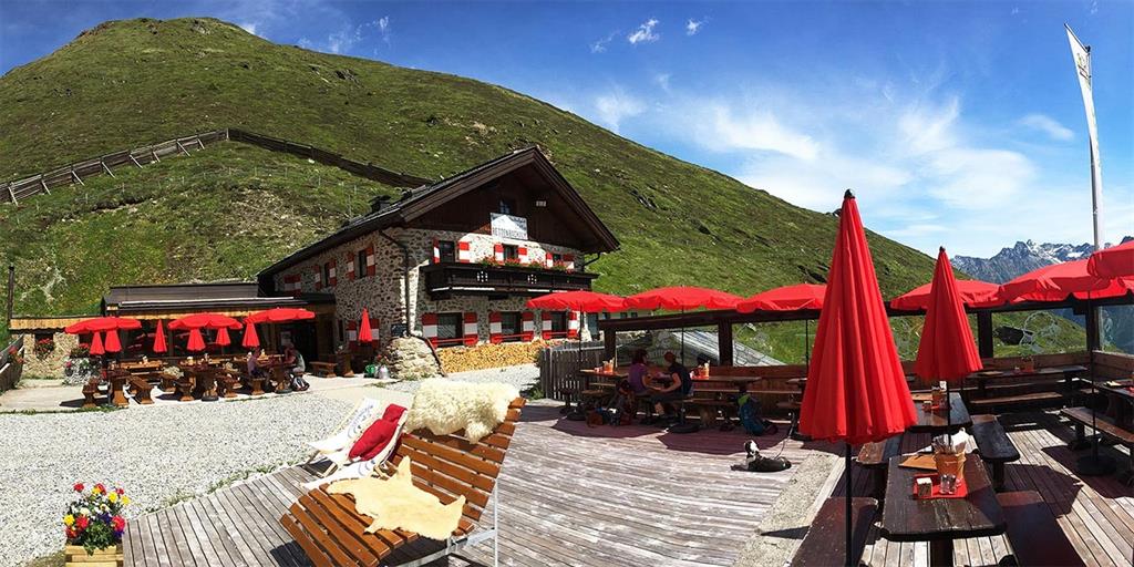
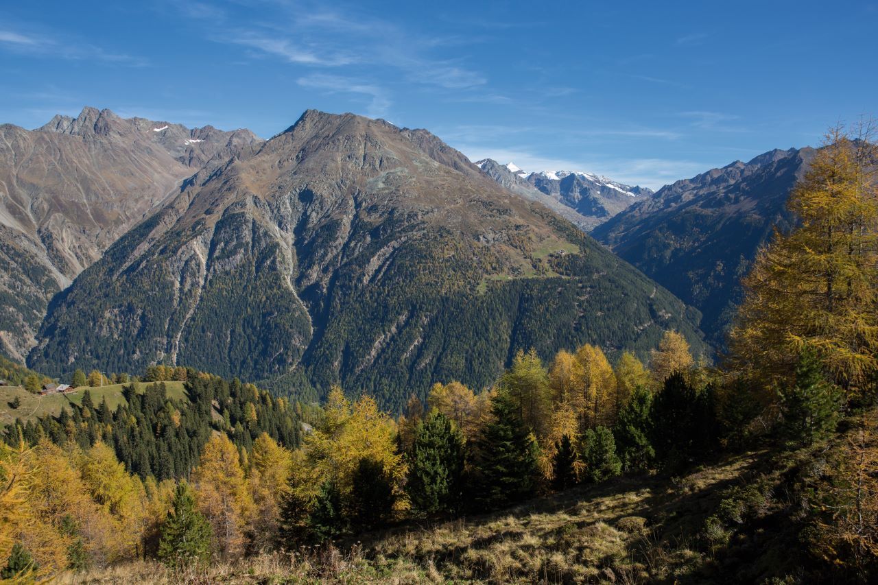
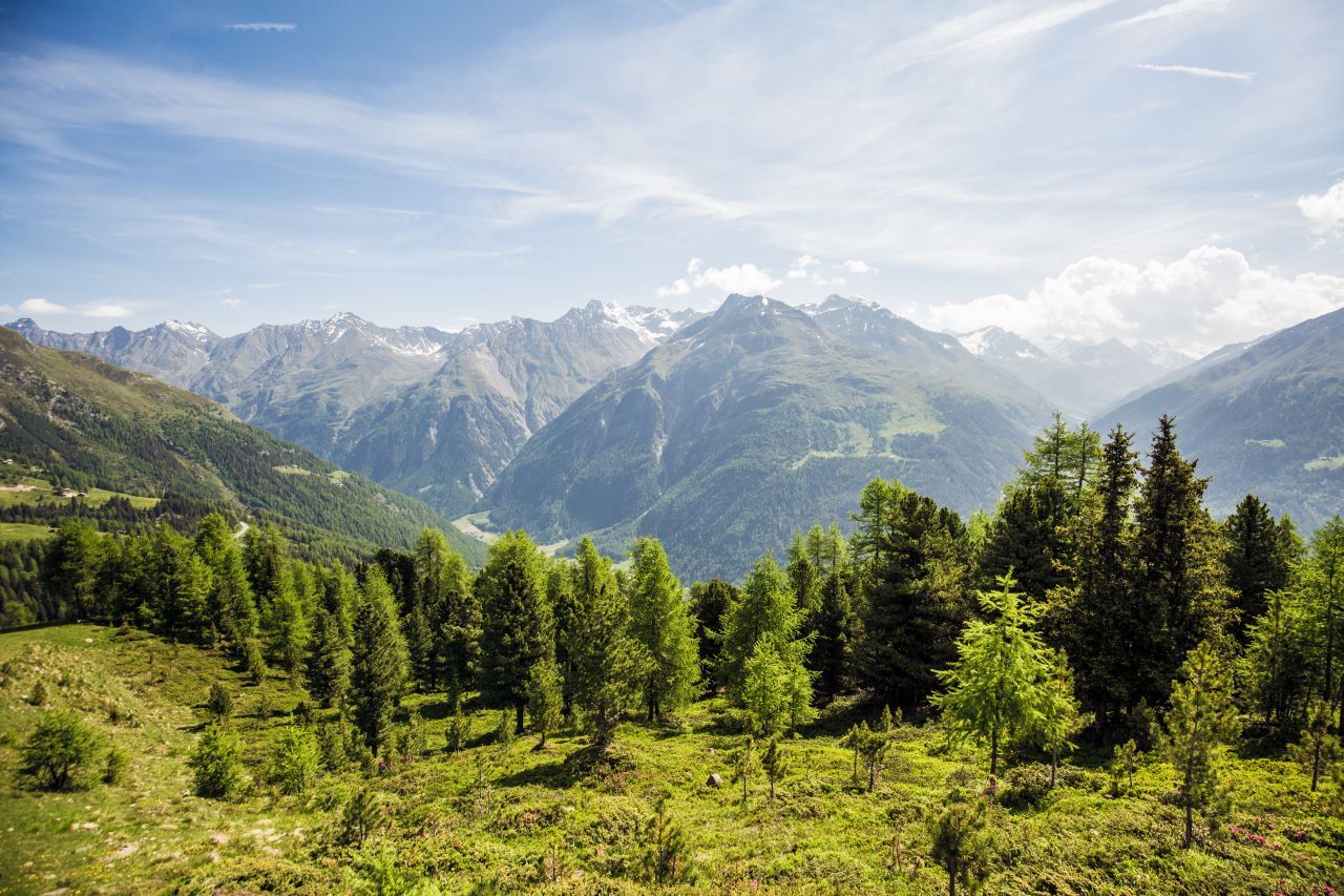
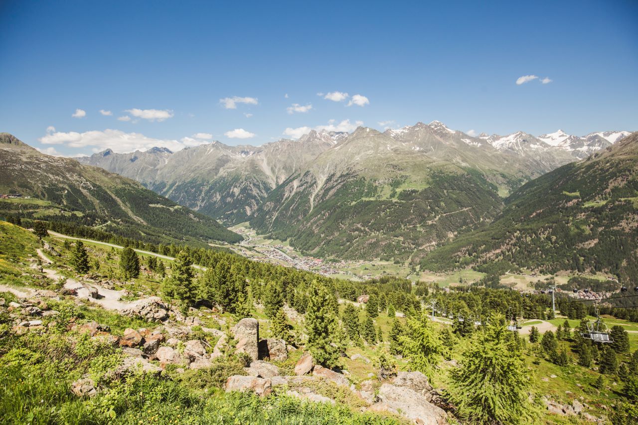
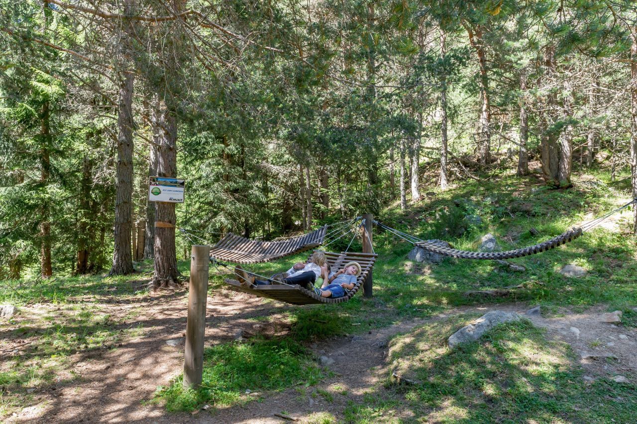
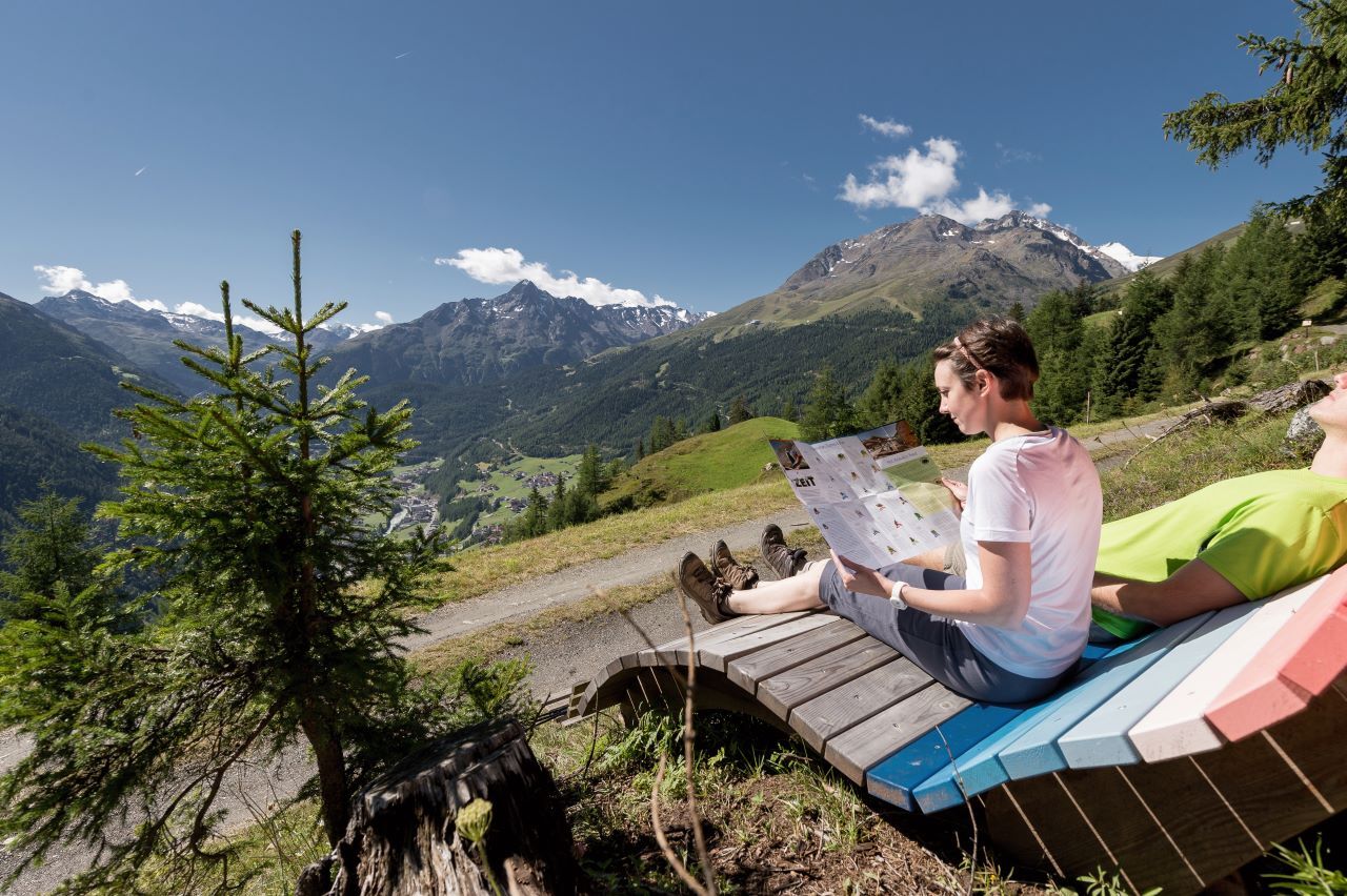
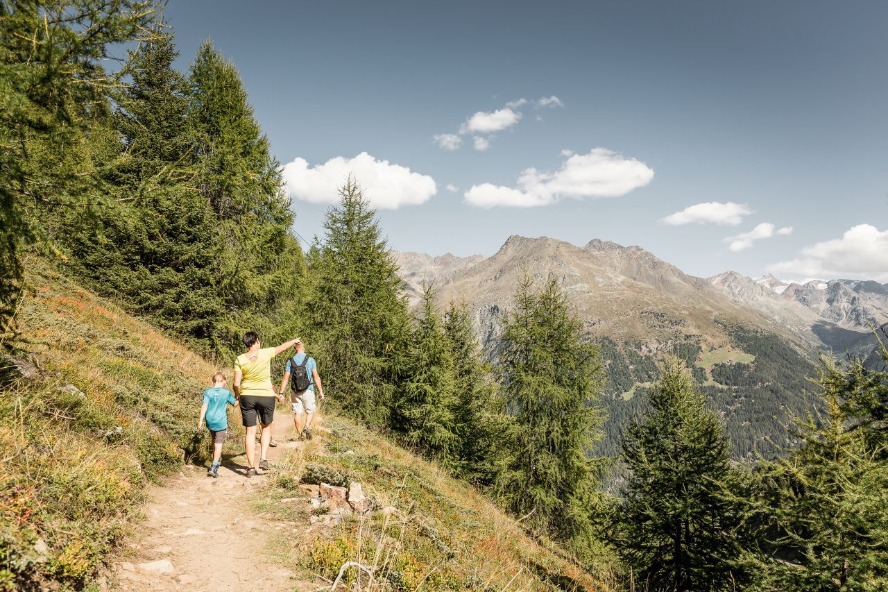
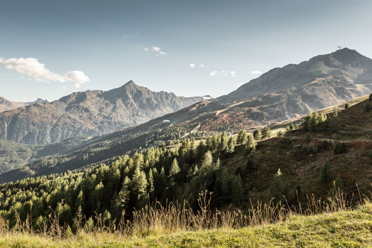
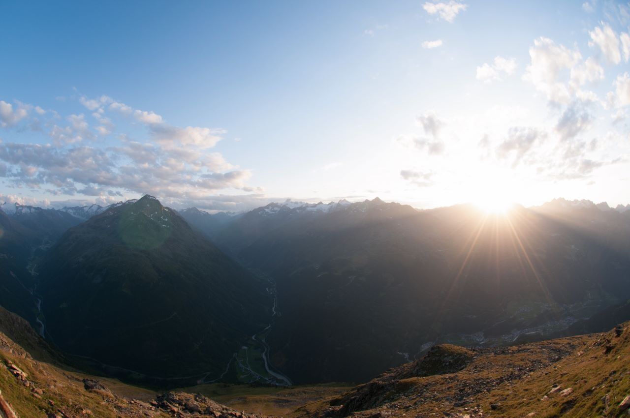
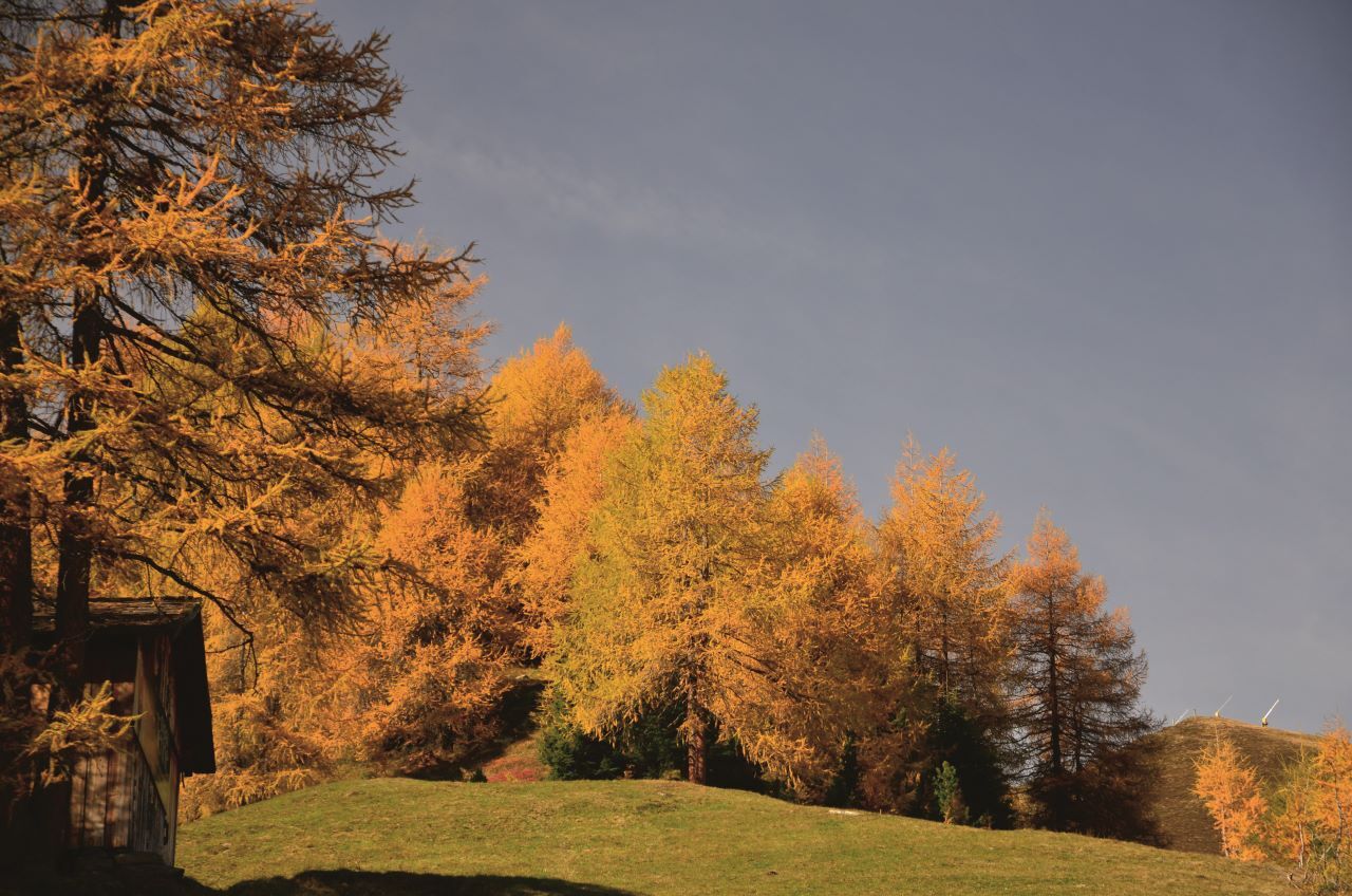

Continue via the Gampe Alm further south to the marked path, hiking past the Hühnersteige to the Rettenbachalm.
Option 2: Take the Gaislachkogelbahn to the middle station and from there via the Bartig Bödele (double-used route for bikers and hikers) to the Ötztaler Gletscherstrasse from there to the Rettenbachalm.
Option 3: From Hochsölden past the Gampe Alm over to the Hühnersteige to the Rettenbach Alm
Áno
Moderate mountain trail; for sure-footed and experienced hikers. Good physical condition, mountain experience& mountain equipment (see notice equipment) necessary. Please pay attention to the current weather report:
The car drive to the Ötztal valley. Situated in Tirol, the Ötztal valley set off in southerly direction and is the longest side valley in the Eastern Alps. The journey with the car leads you through the Inntal valley to the entrance of the valley and further on through the valley. Among the toll motorways you can also use the country roads. A route planner will show you the easiest and most convenient way: www.google.at/maps
Travel safe and comfortable with the train to the Ötztal Bahnhof train station. Last stop and exit point is the train station Ötztal Bahnhof. Afterwards you can travel smoothly and quick with the public transport or our local taxi companies through the valley to your desired destination. Please find the current bus timetable here:fahrplan.vvt.at
All parking is free during the day.
Parking for several days (eg hike tour):
Parkgarage Gaislachkoglbahn, Parkticket either online or directly at the cash desk of the GaislachkoglbahnWebové kamery z prehliadky
-
Seekogel
-
Gaislachkogel
-
Sölden - Schwarze Schneid
-
Sölden - Tiefenbachferner Tal
-
Sölden - Rettenbachferner
-
Sölden - Hochsölden
-
Sölden - Grünwald Resort
-
Sölden - Grünwald Resort
-
Giggijoch
-
Giggijoch
-
Schwarze Schneid Mittelstation
-
Sölden - Gaislachkogelbahn Mittelstation
-
Sölden - Schwarzkogl Talstation
-
Hochstubaihütte
-
Hochstubaihütte
-
Sölden Ort
-
The Peak Sölden**** Chalets und Appartements

Obľúbené výlety v okolí
-
4,7
Winnebachsee Hut – Längenfeld/Gries
strednáTuristika 4,74 km -
4,6
Vent - Wilder Mann - Breslauer Hütte - Stableinalm
strednáTuristika 7,25 km -
4,7
Winter circular route Brandalm/Burgstein - Längenfeld 204
strednáZimná turistika 5,44 km -
4,8
Wilde Wasser Weg - Fortgeschritten
strednáTuristika 12,0 km -
5,0
Dresdner hütte - sulzenauerhütte
strednáTuristika 12,1 km -
4,5
Hohe Geige über Gawinden und den Westgrat
ťažkéTuristika 14,3 km -
4,4
Rundwanderung Hängebrück3
svetloTuristika 6,32 km -
3,8
Breslauer Hut
strednáTuristika 4,75 km -
4,3
Amberger Hut - Längenfeld/Gries
strednáTuristika 5,60 km -
4,4
Hochtour Wildspitze, 3.768m
strednáVysoké turné 9,75 km
Turistika a stopovanie


Nenechajte si ujsť ponuky a inšpiráciu na ďalšiu dovolenku
Vaša e-mailová adresa bol pridaný do poštového zoznamu.





