







Glungezer round
Úroveň náročnosti: T2
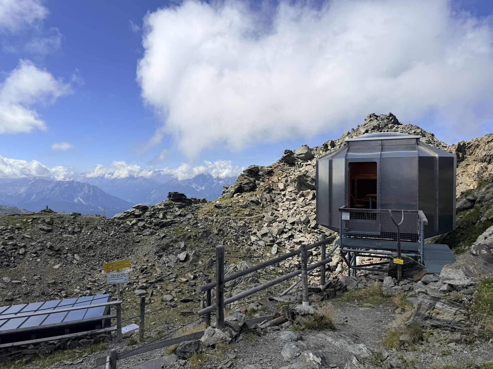
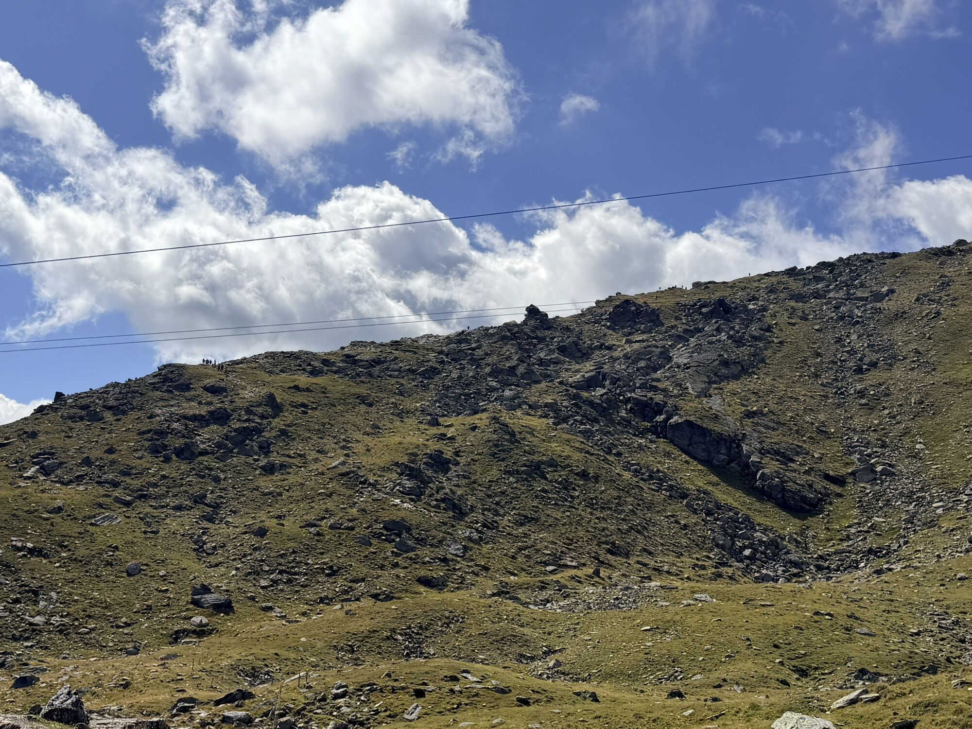
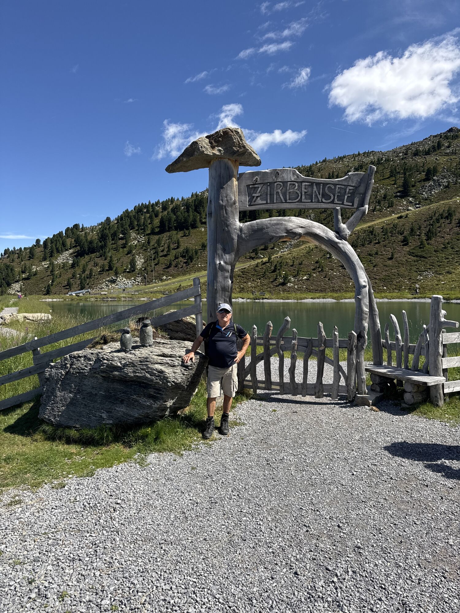
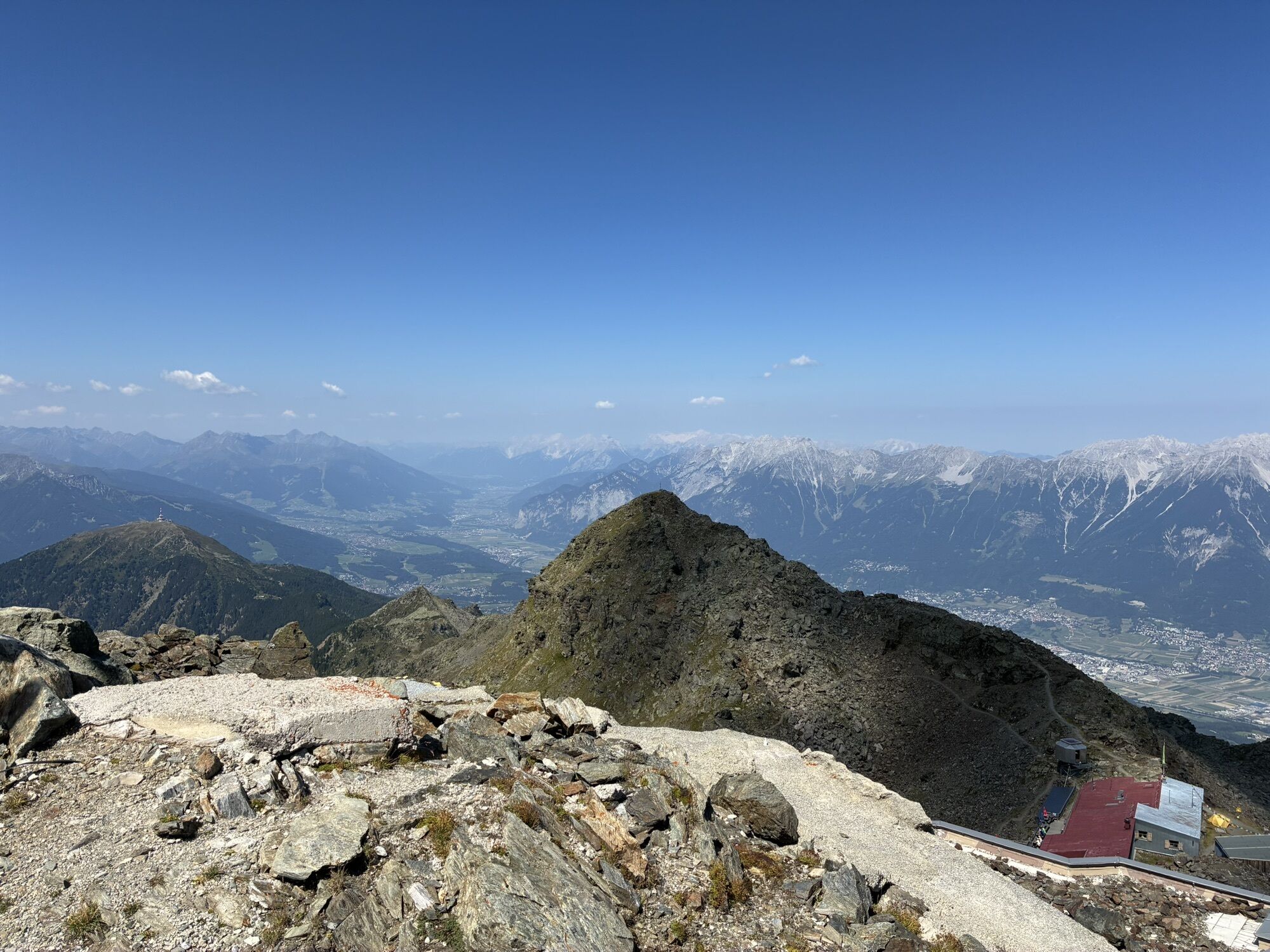
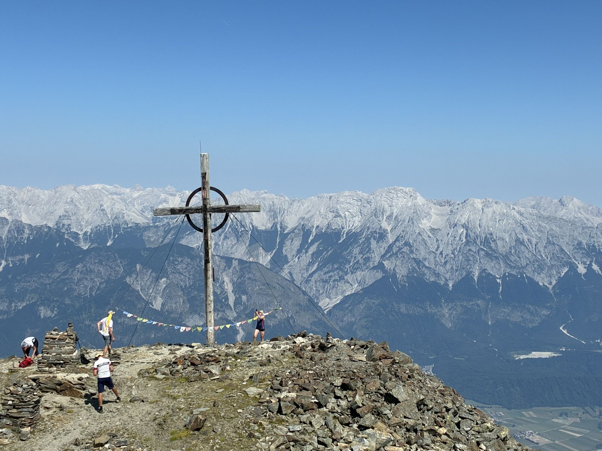
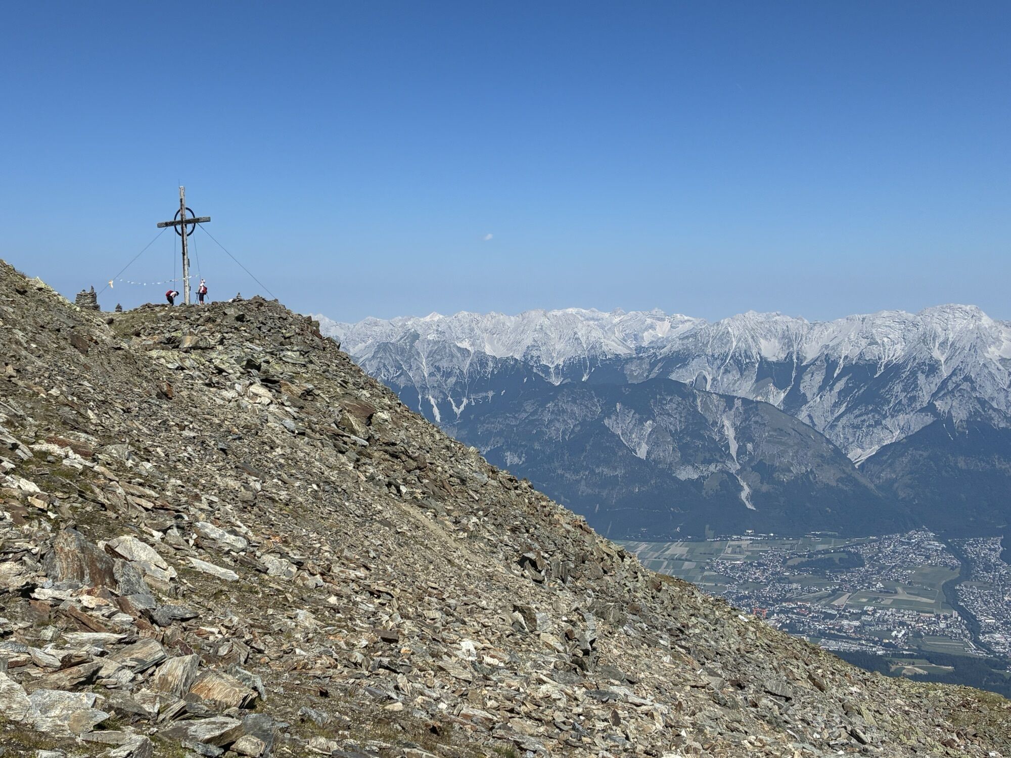
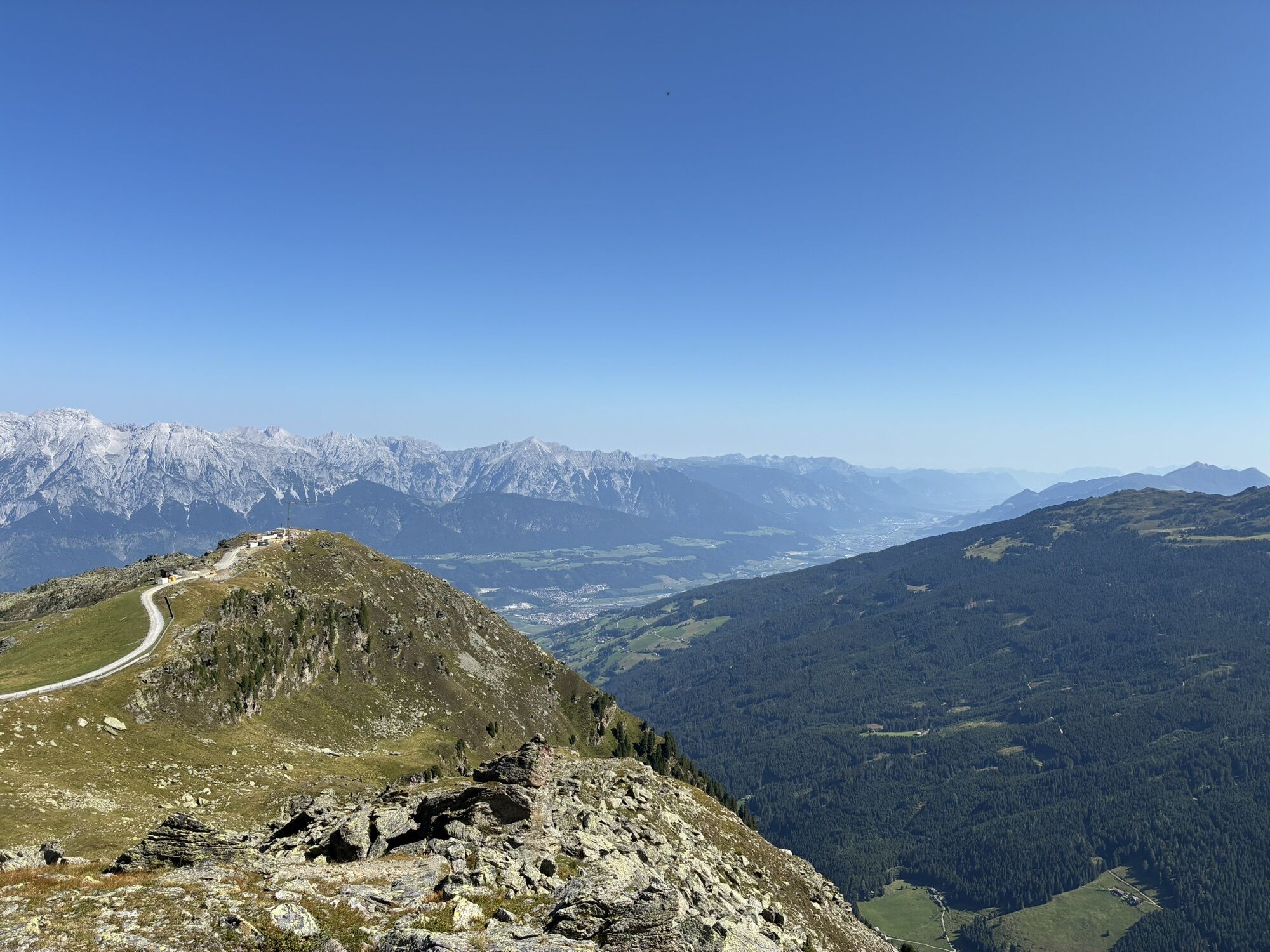
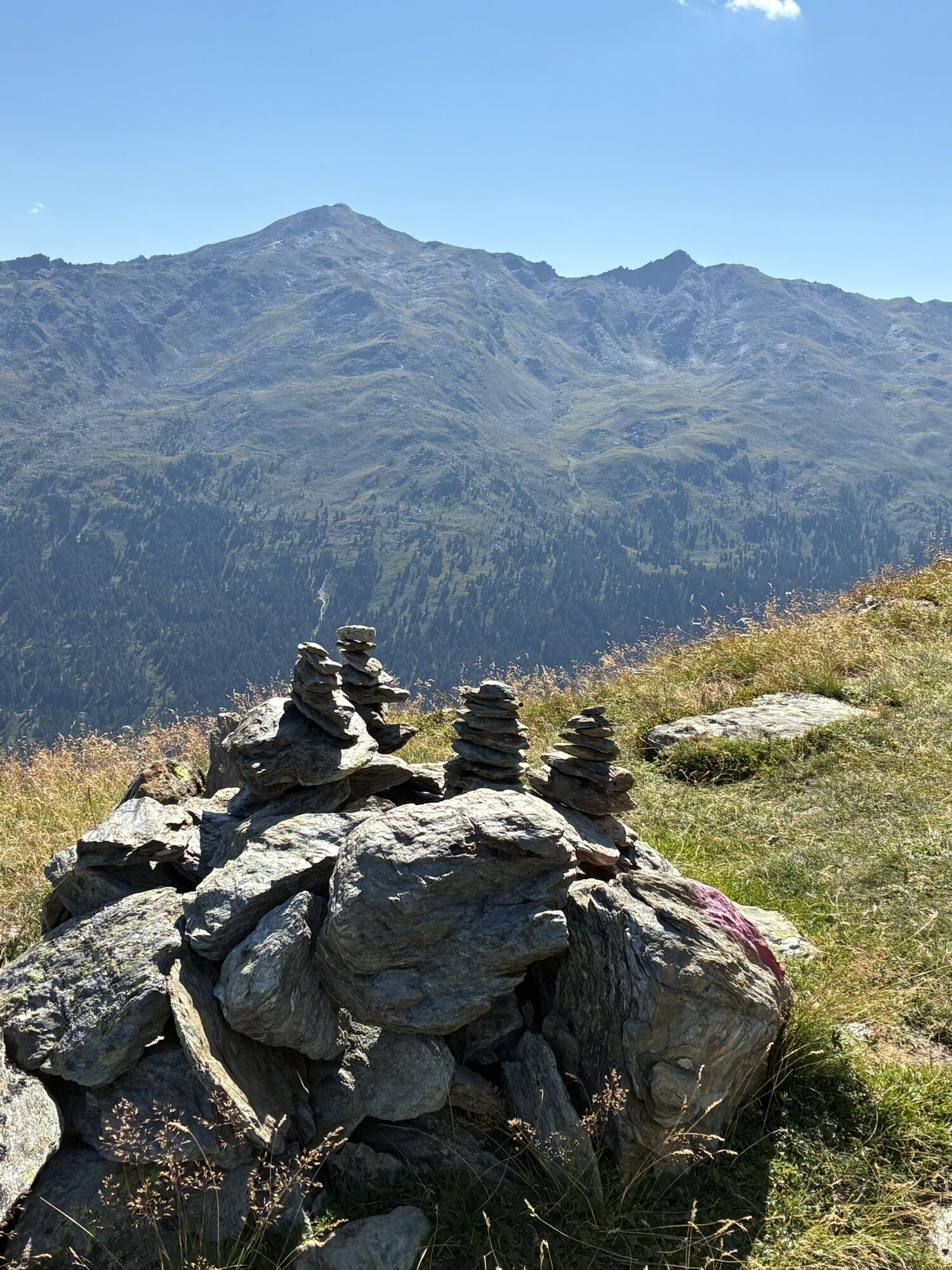
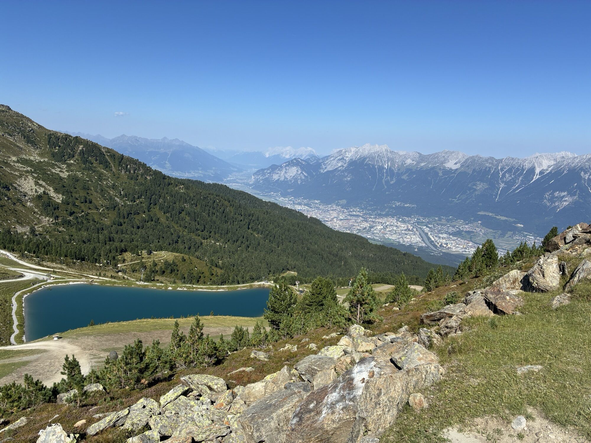
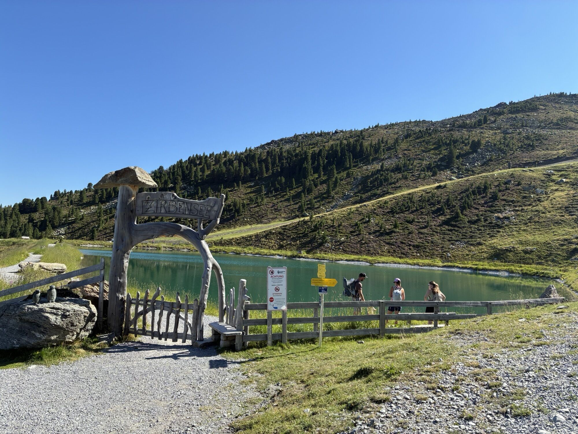
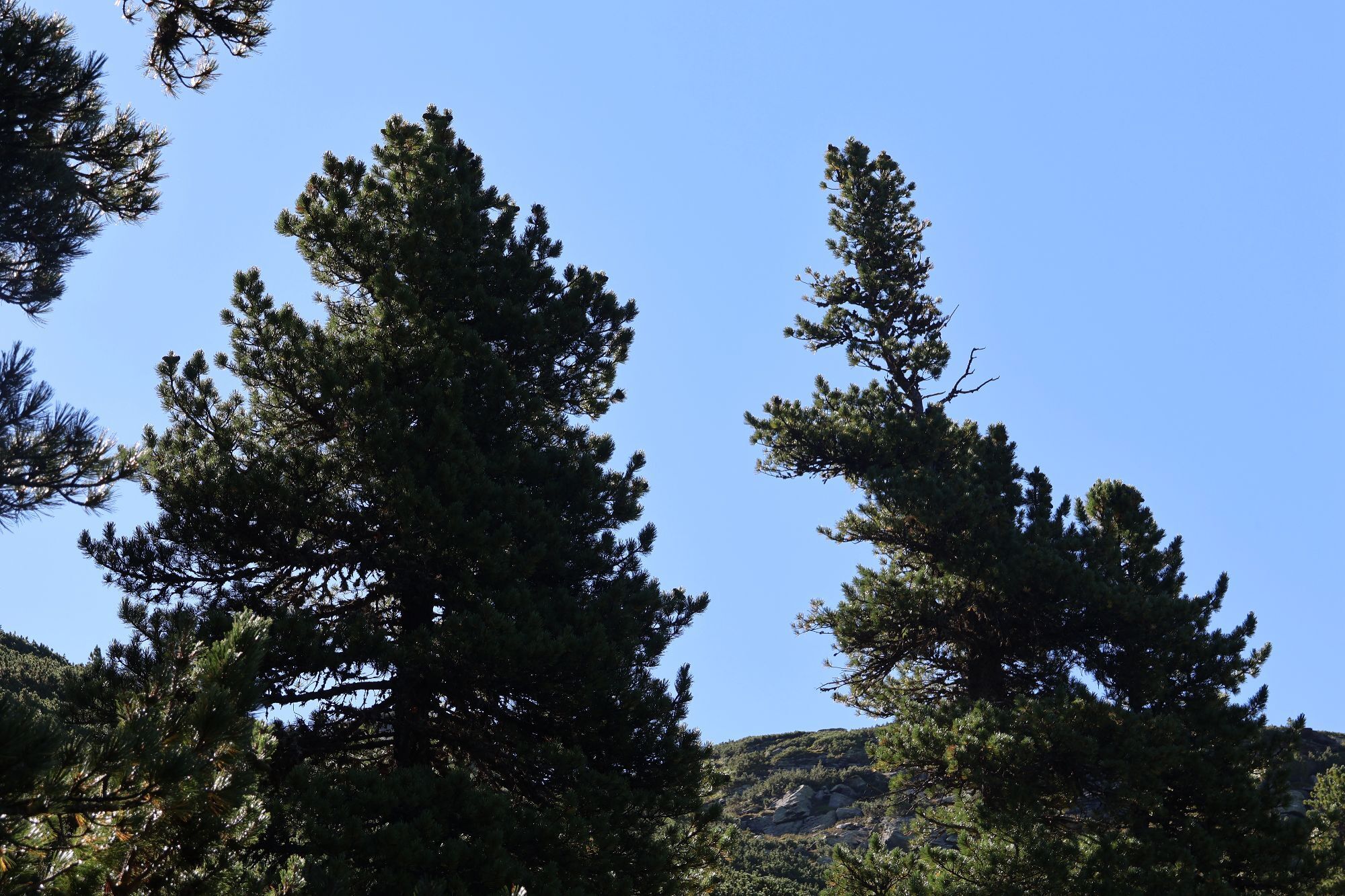
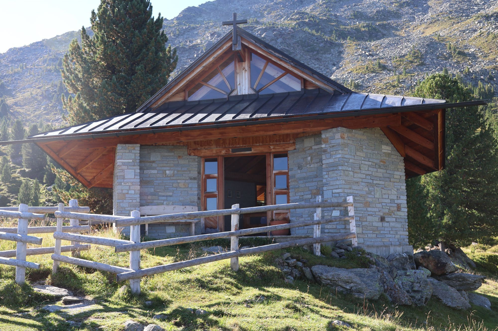
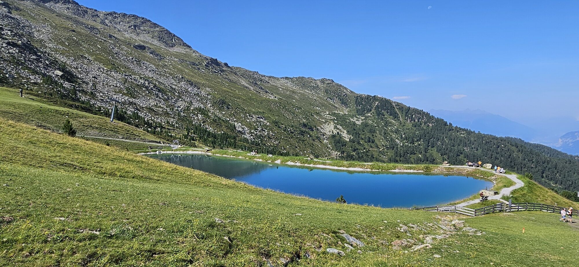
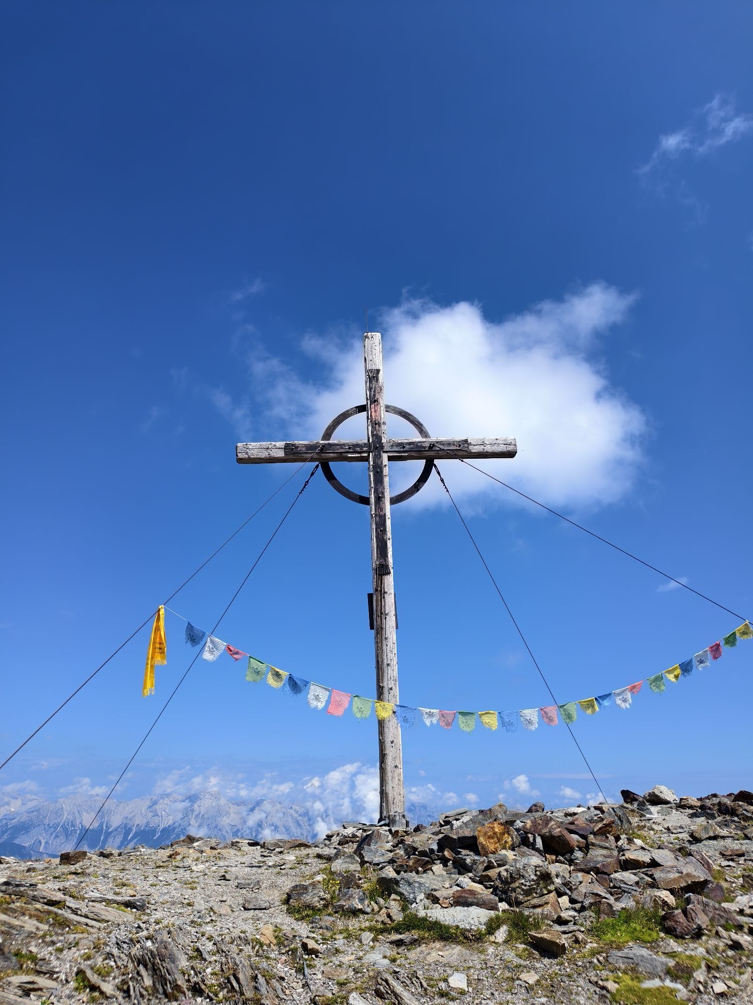
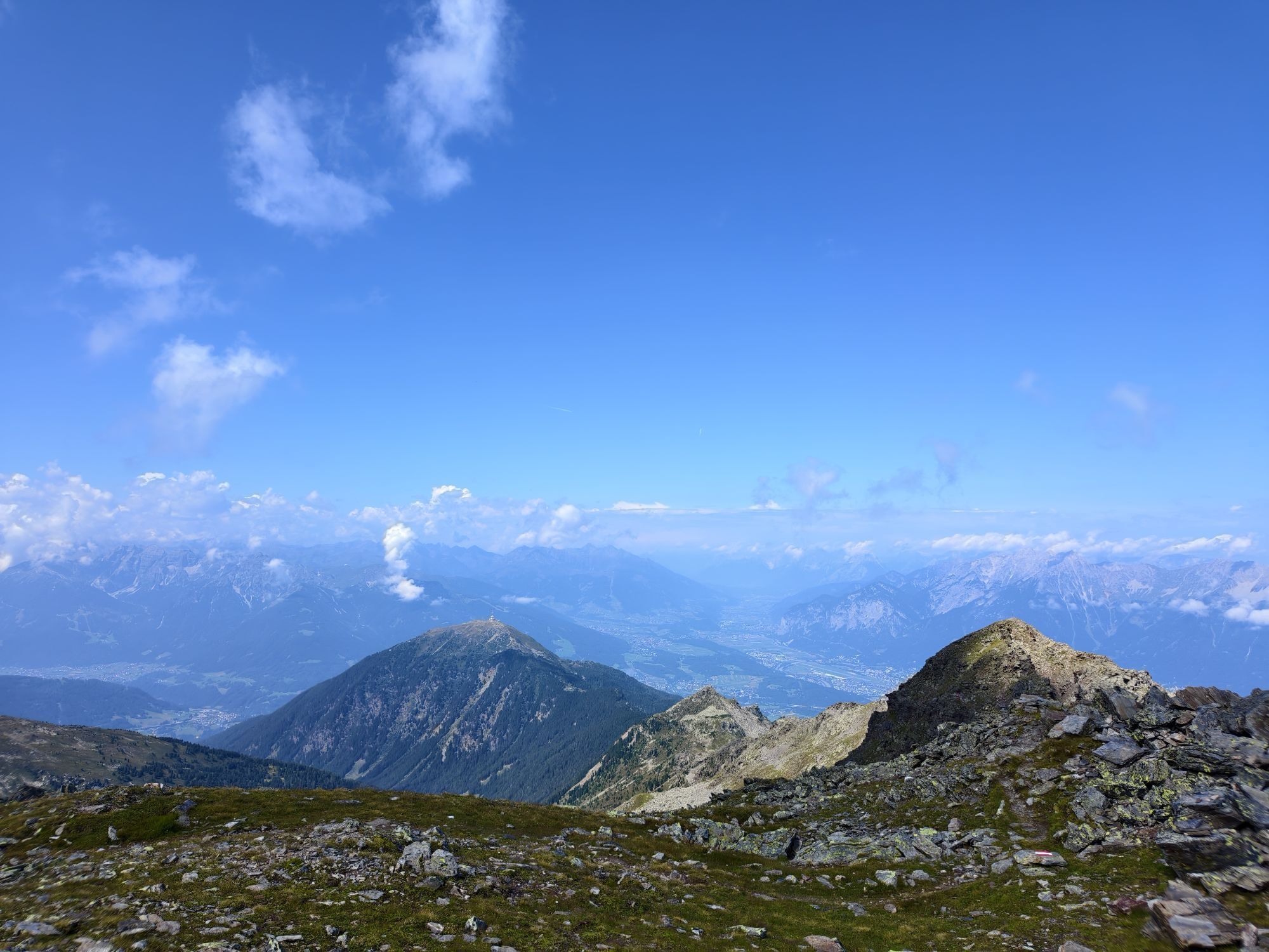
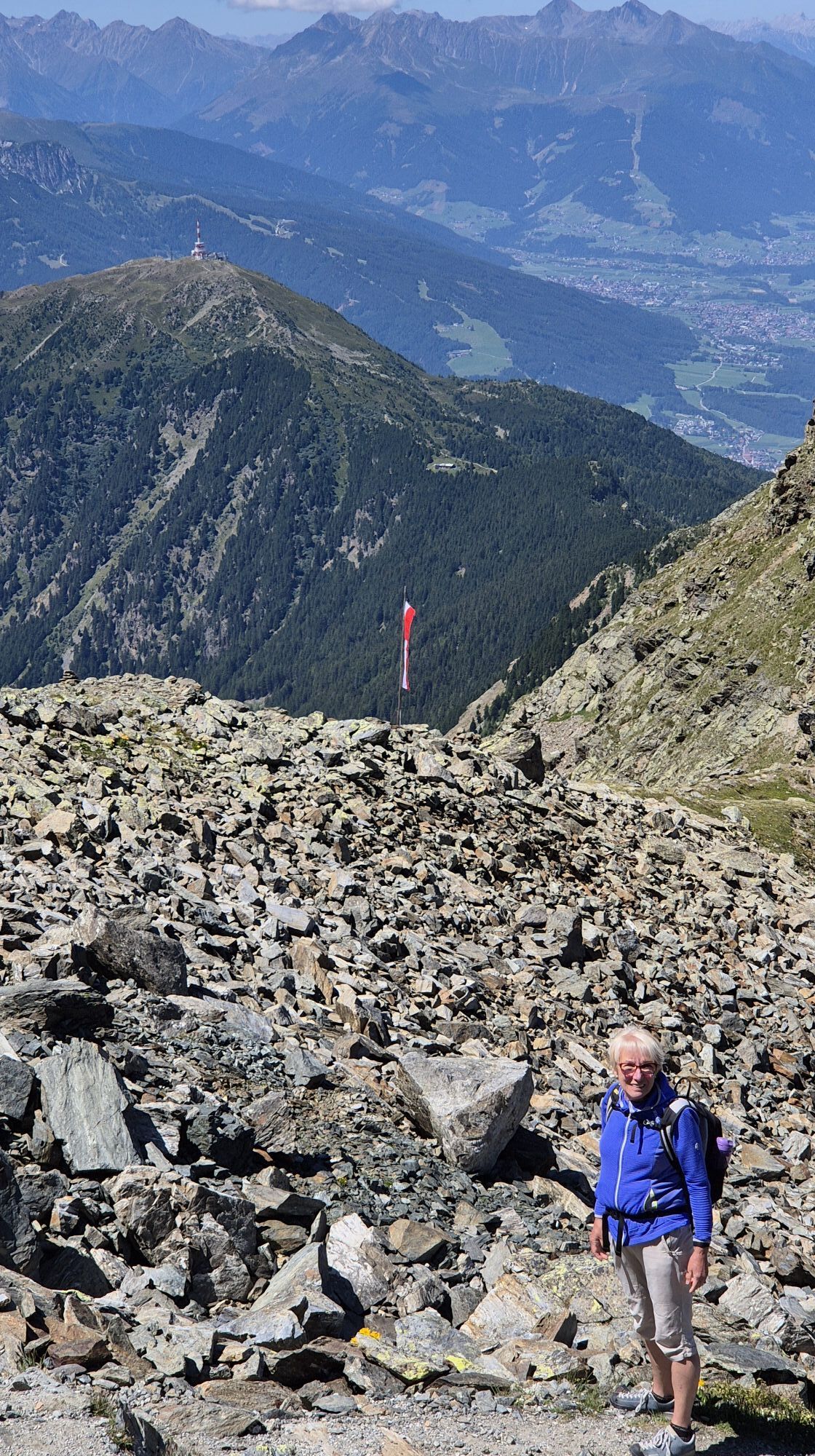
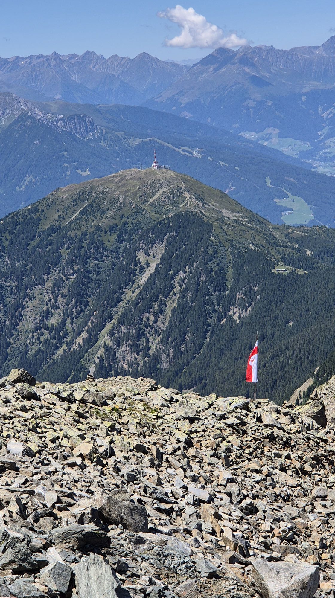
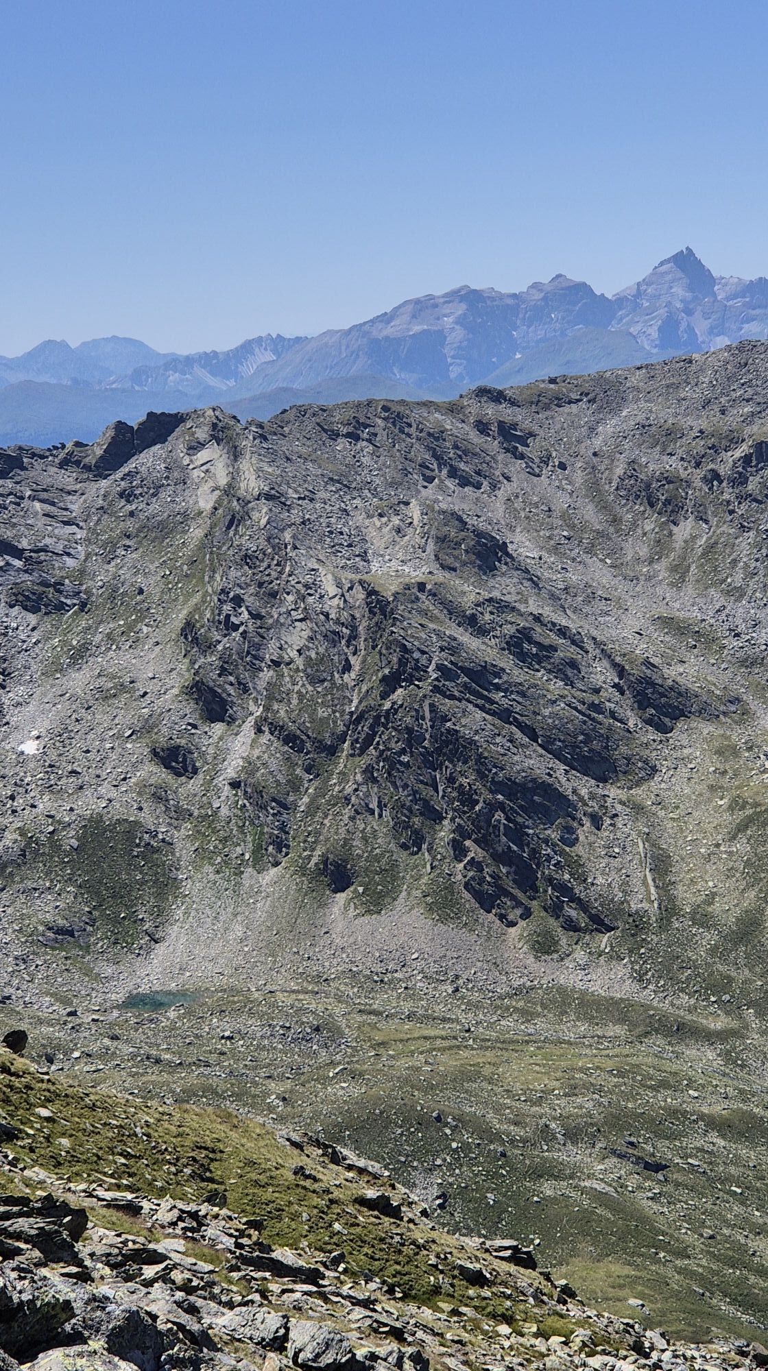
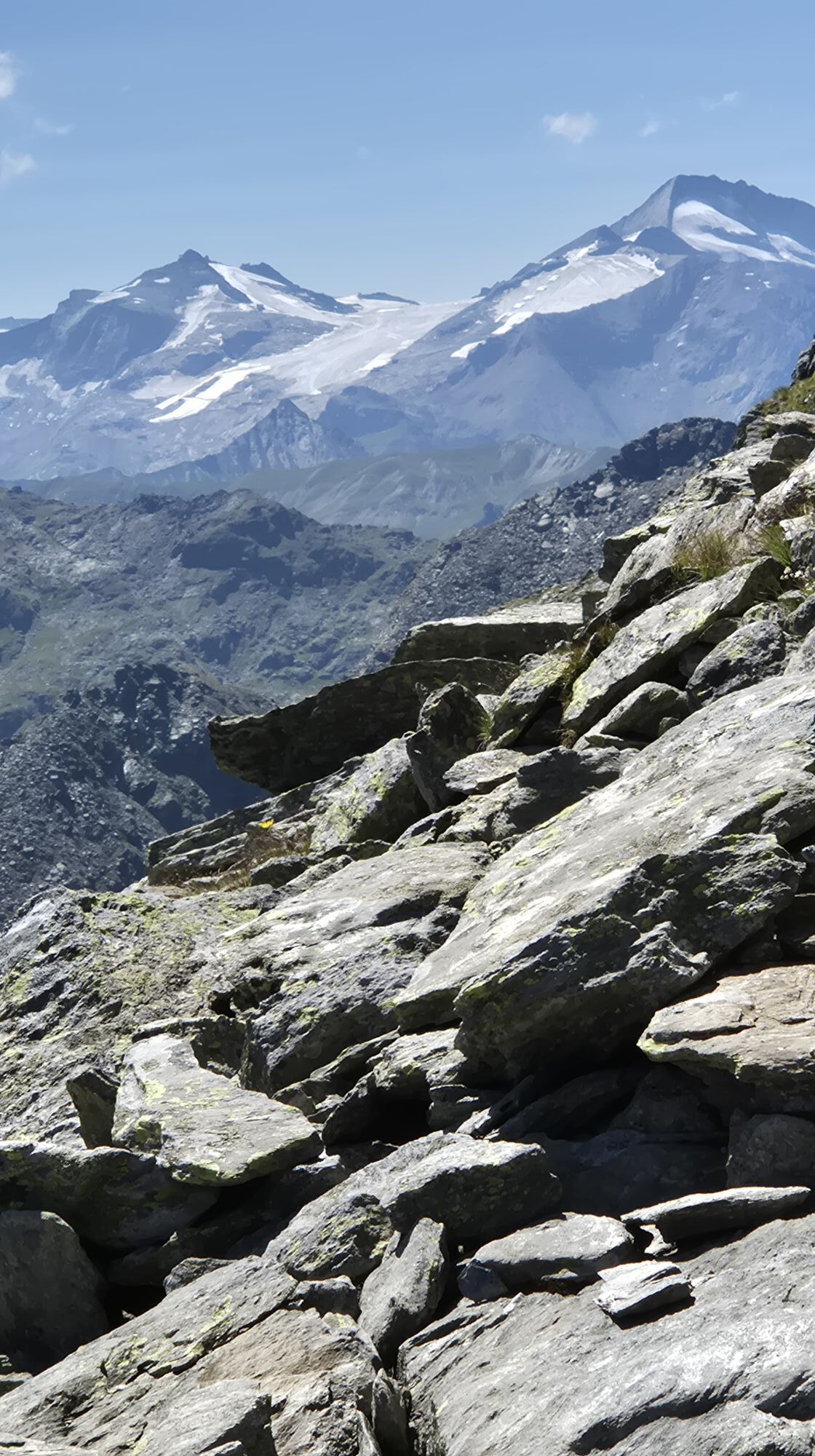
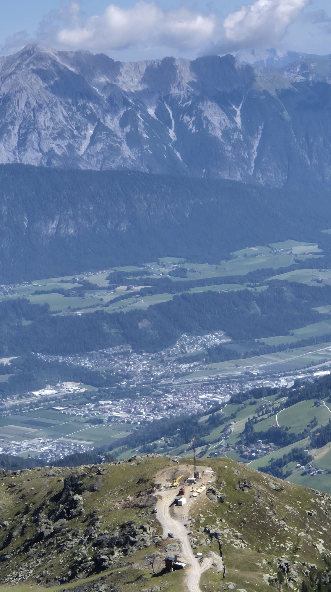
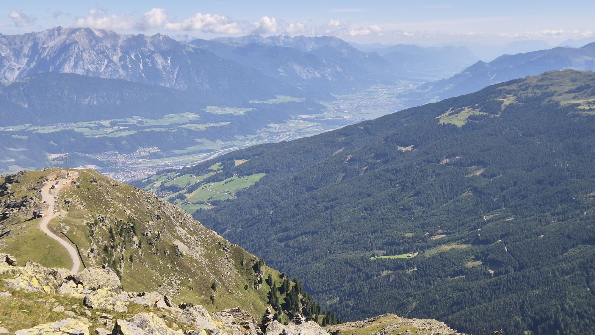
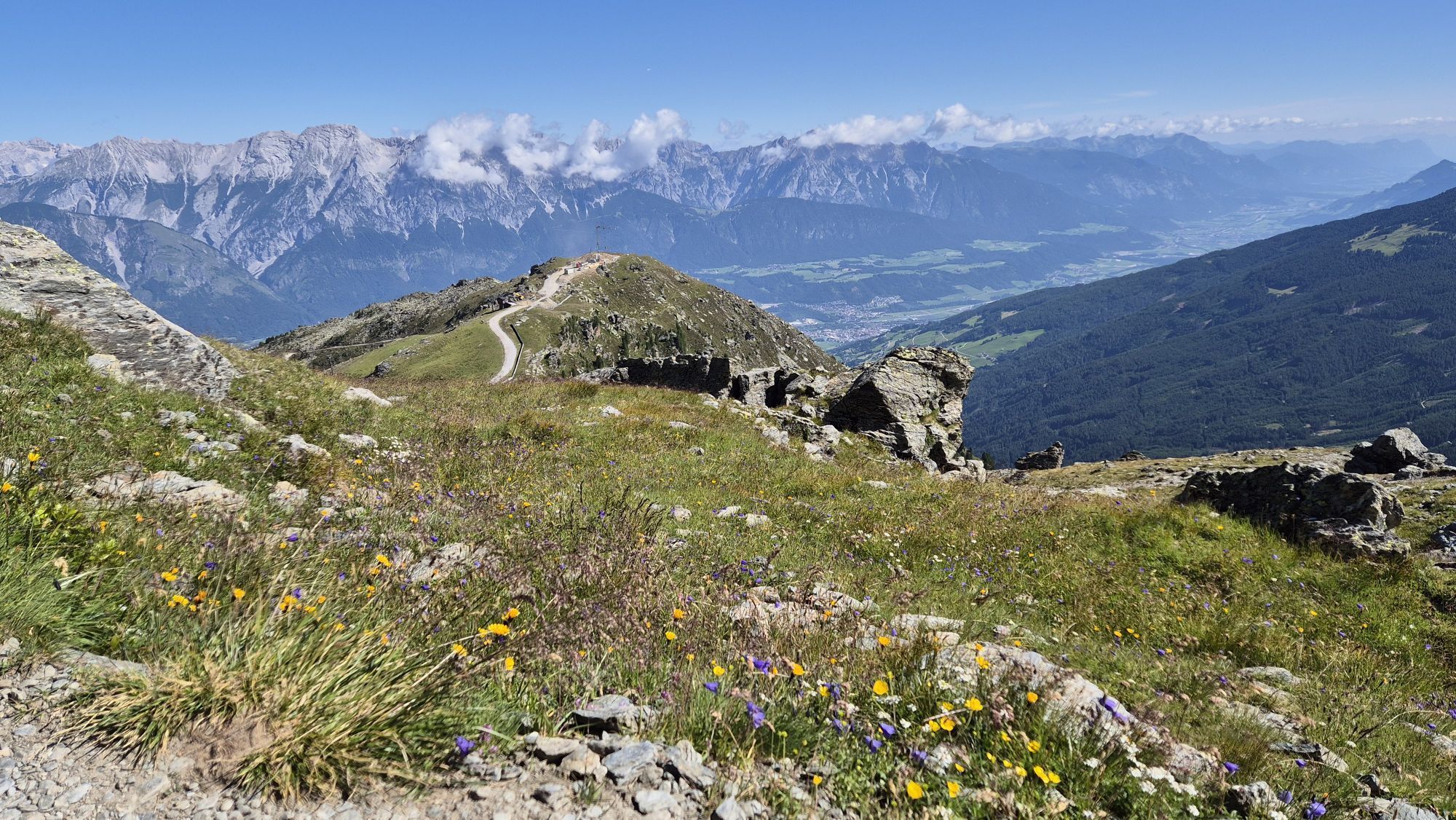
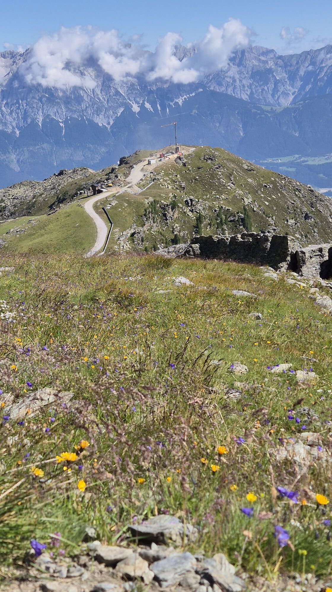
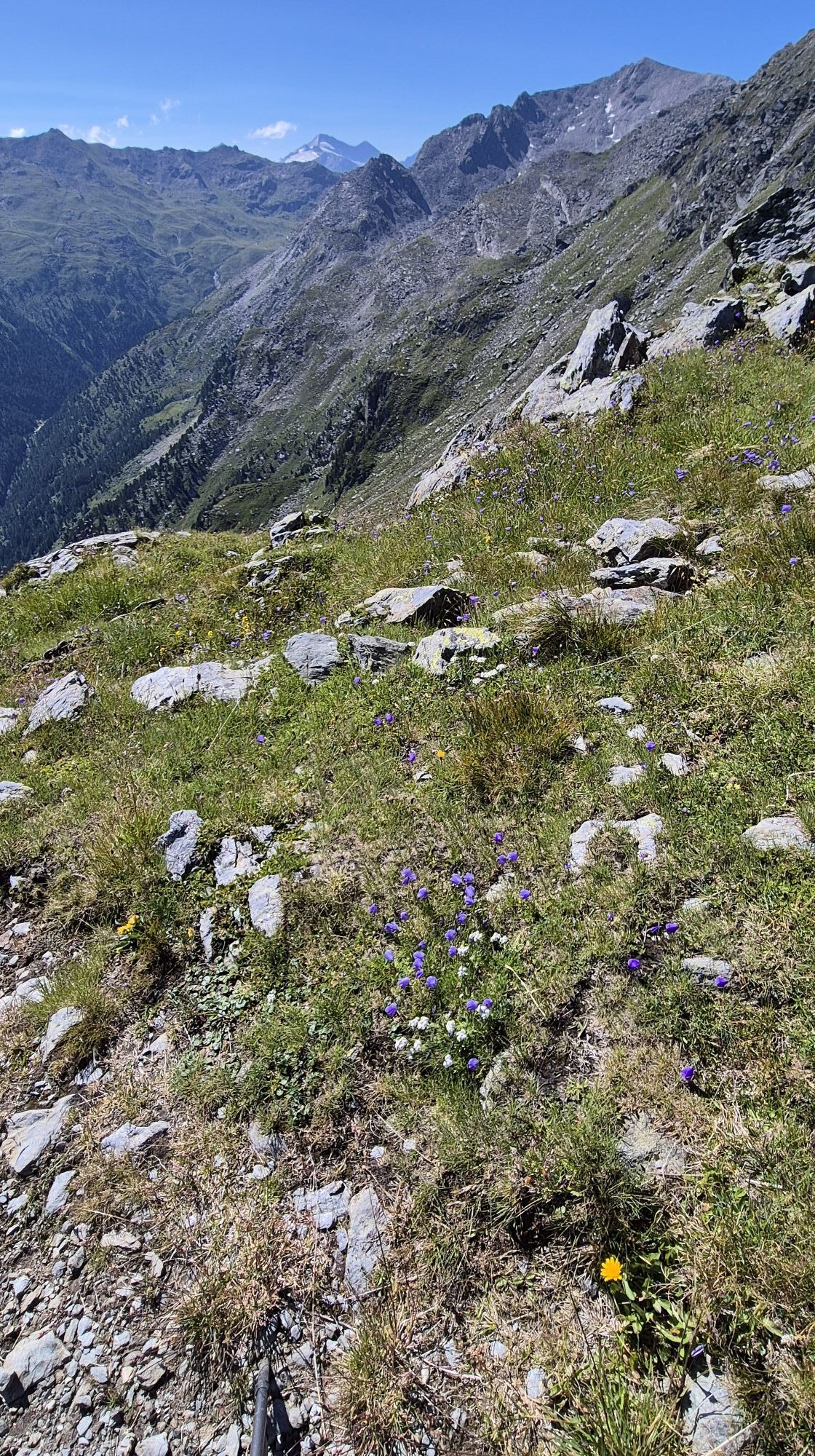
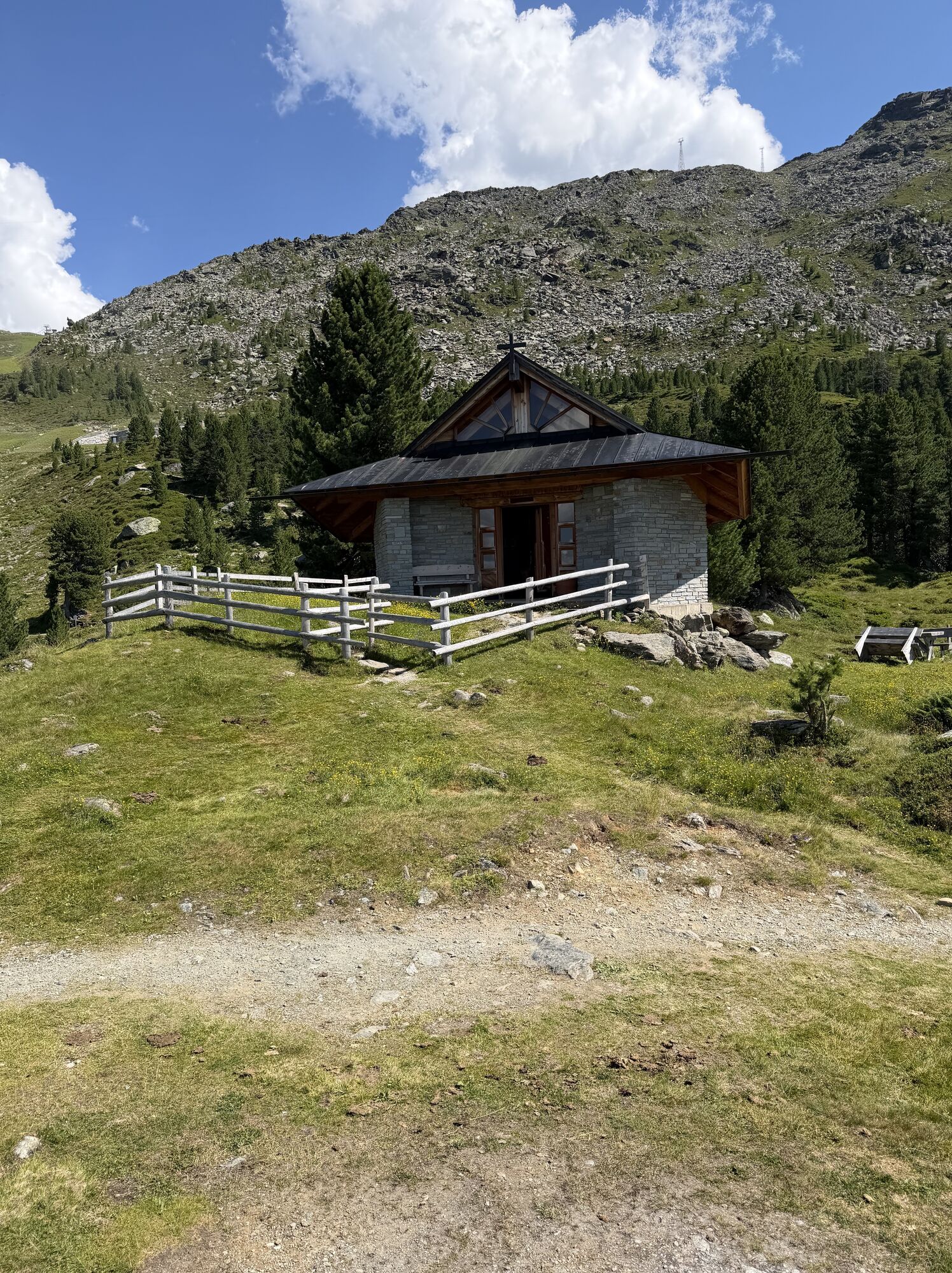
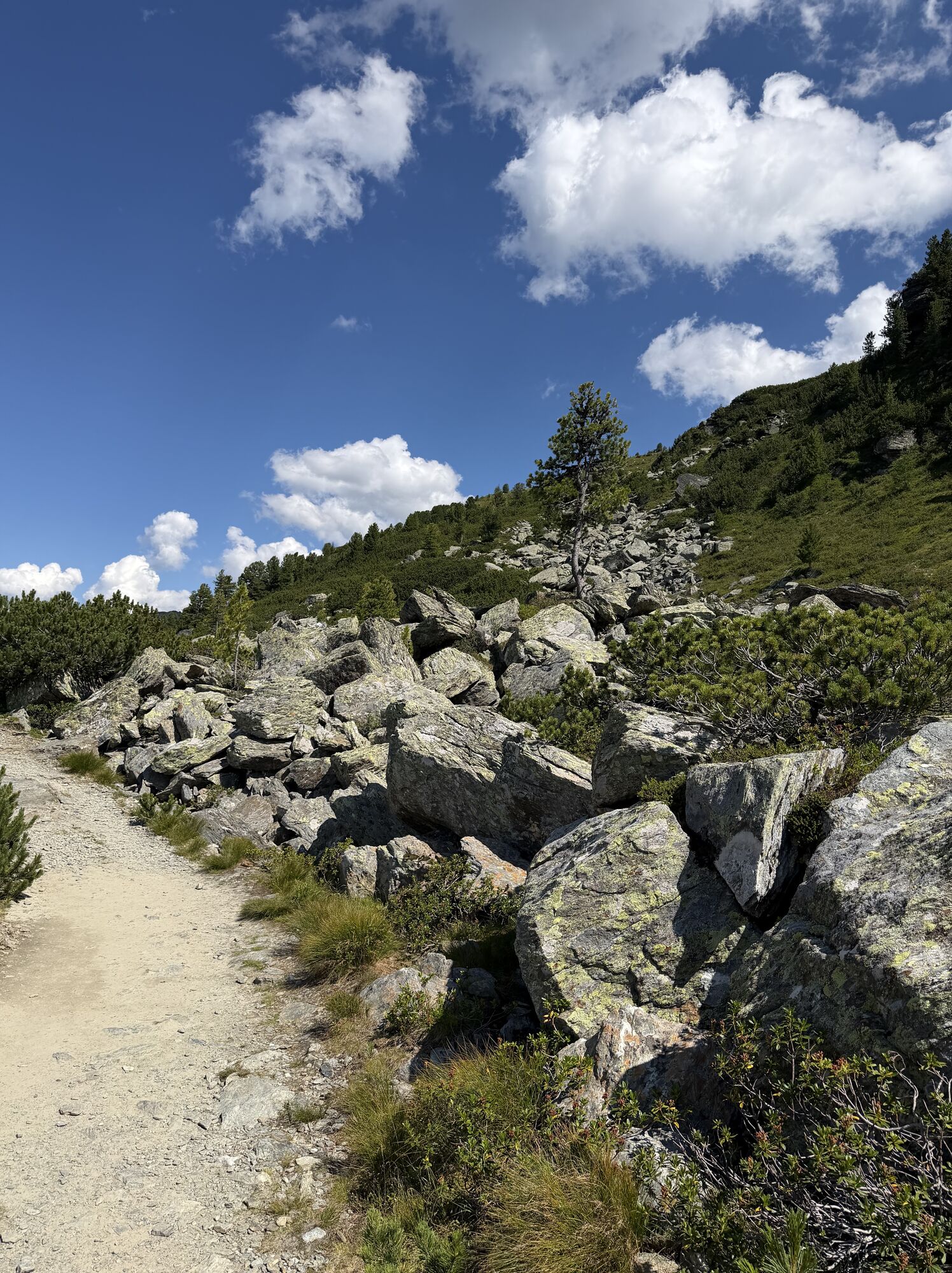
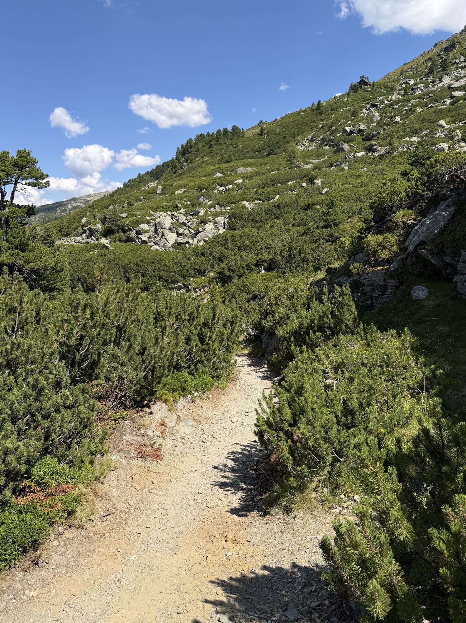
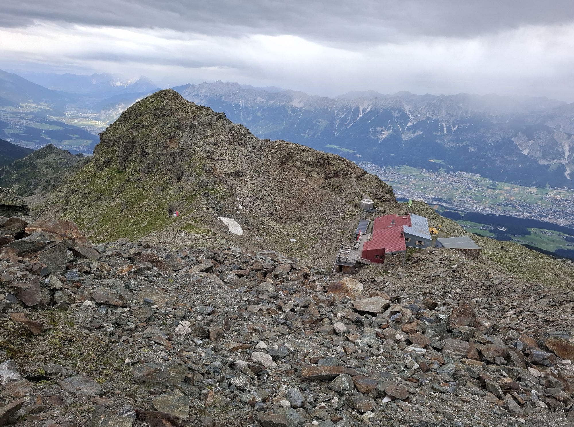
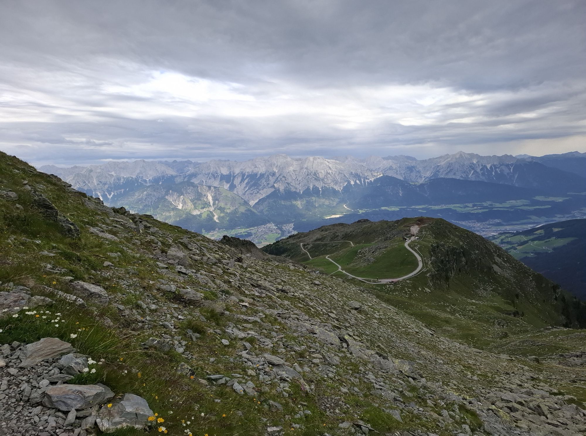
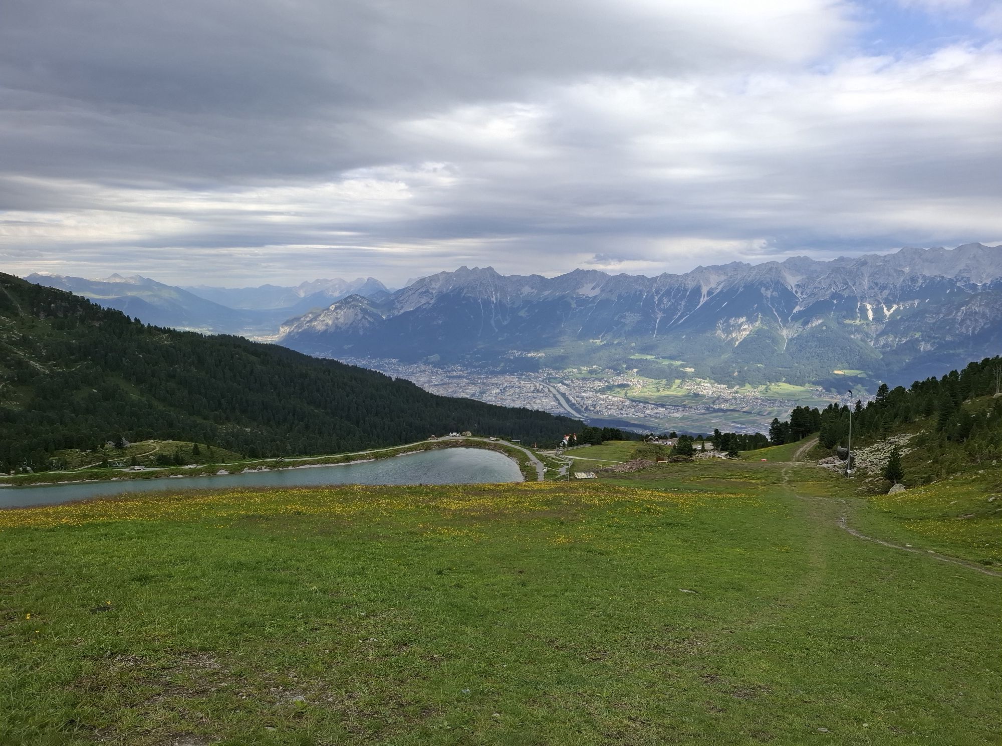
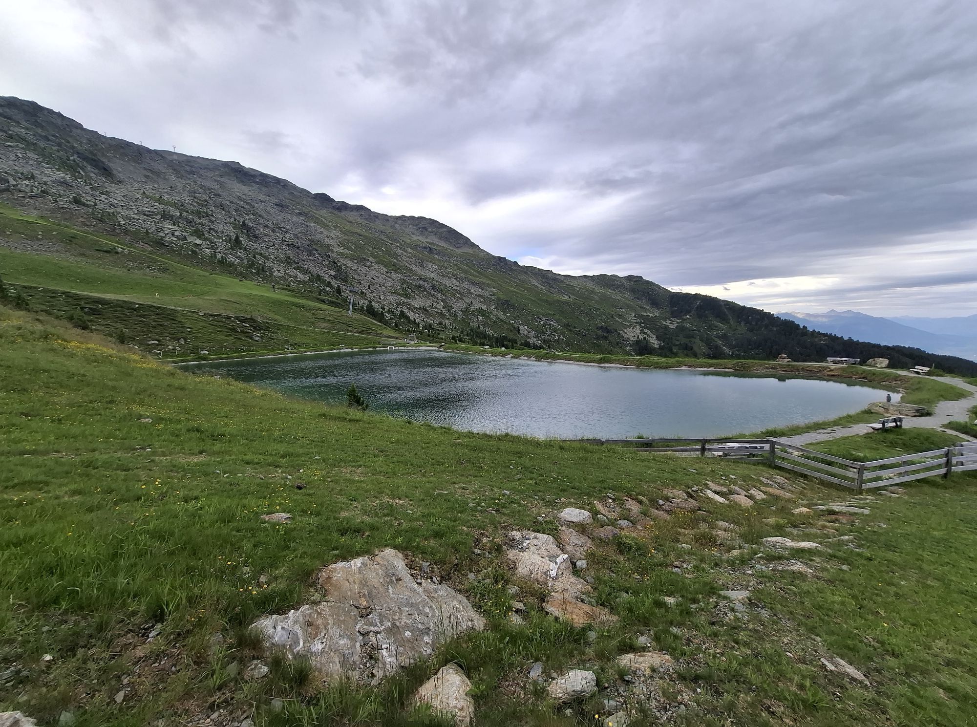
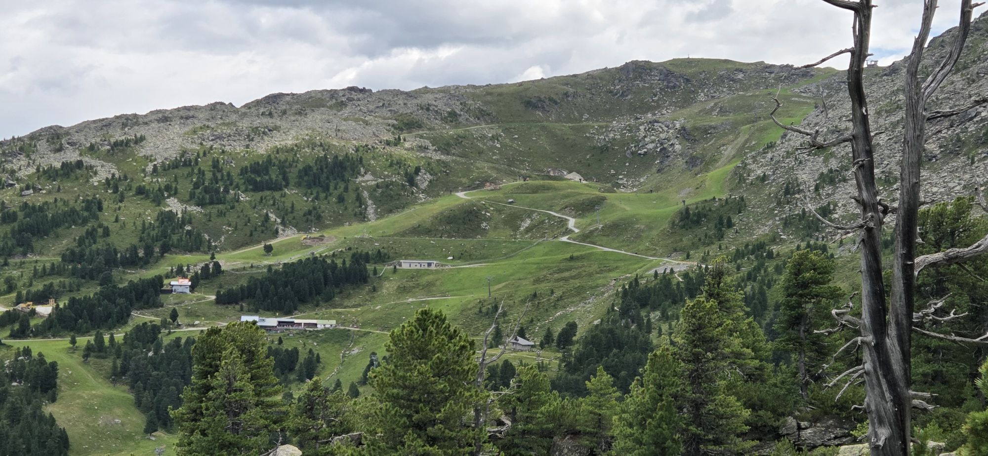
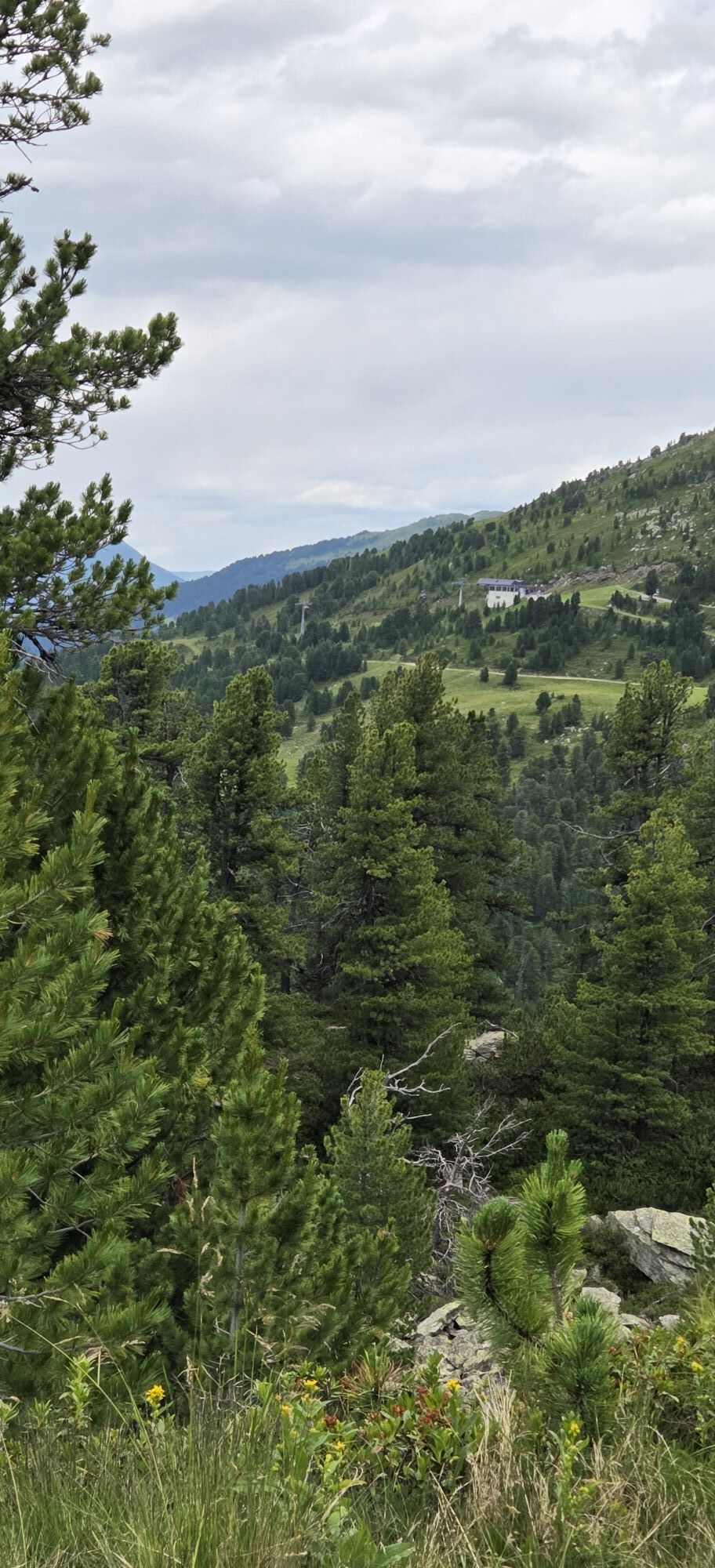
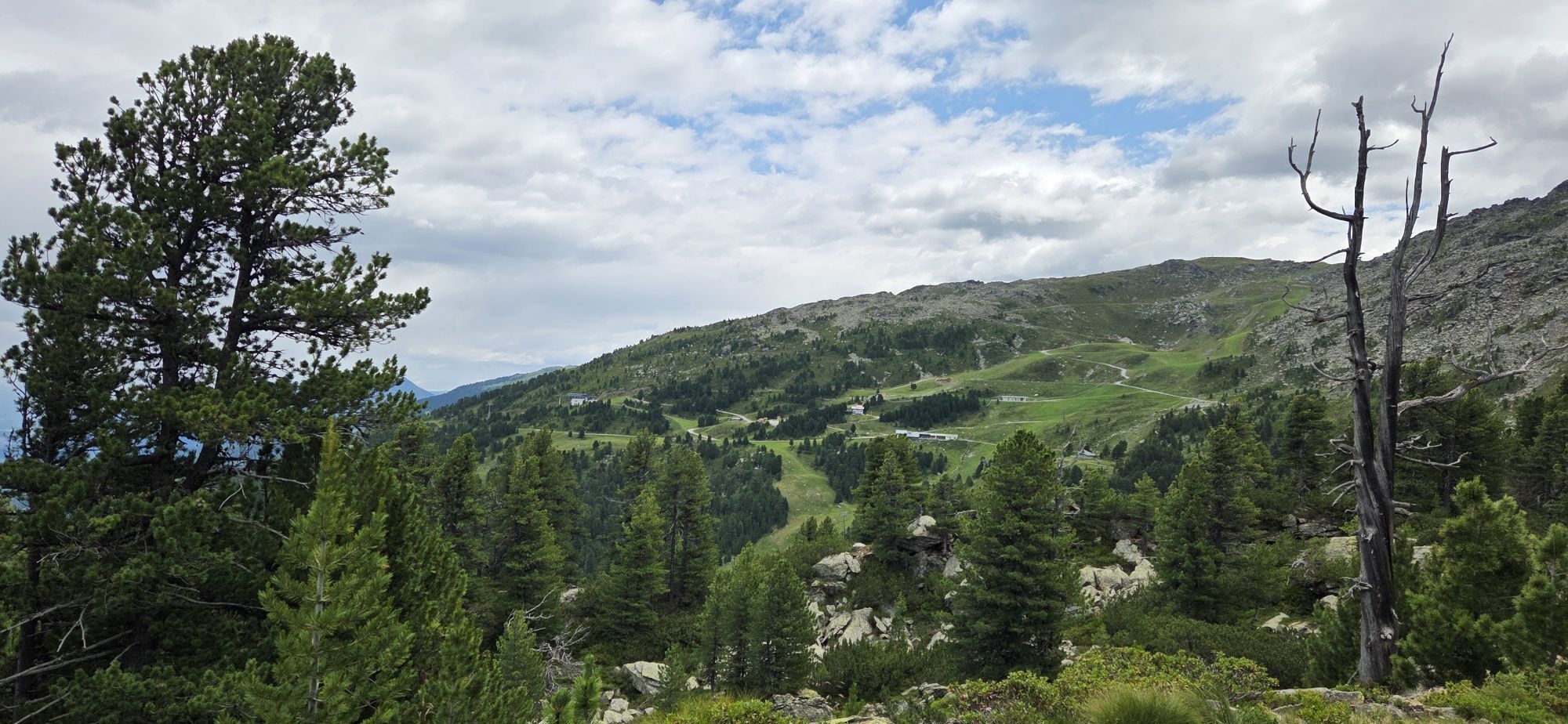
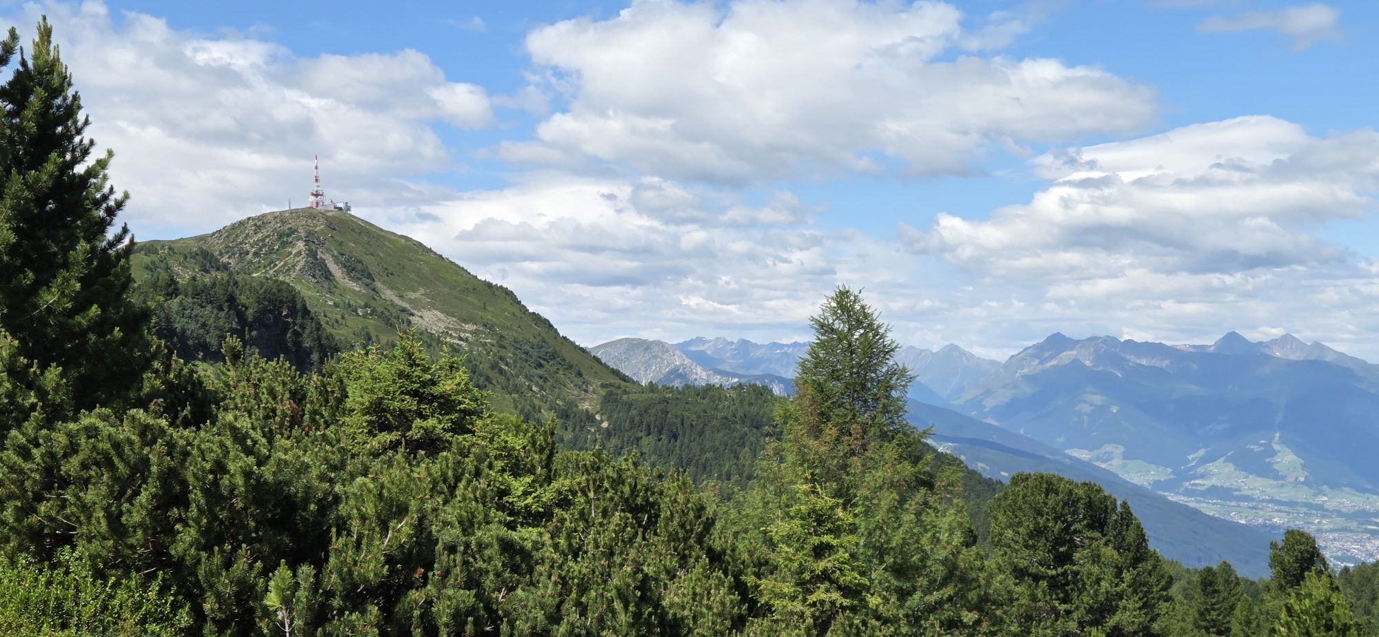
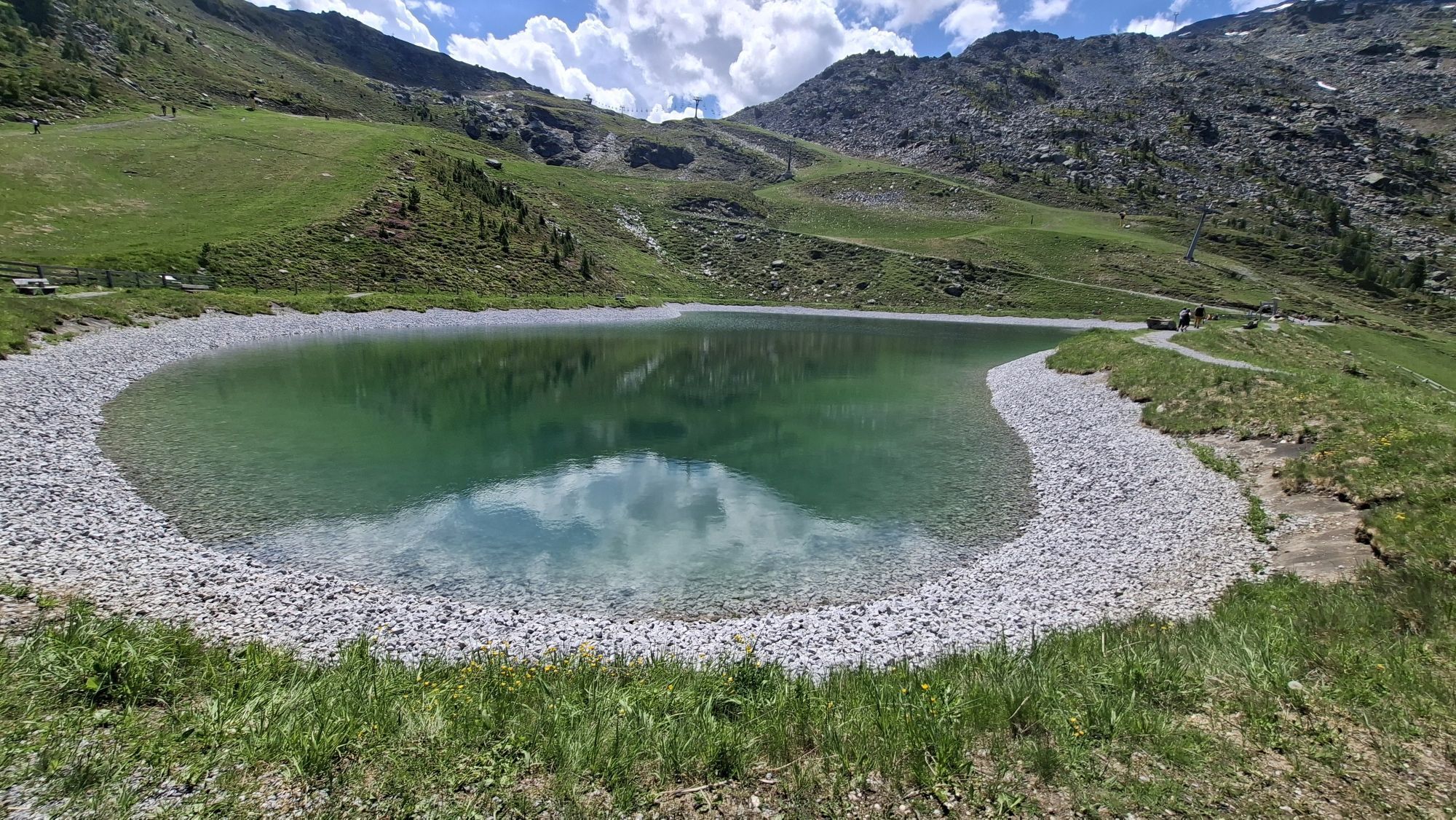
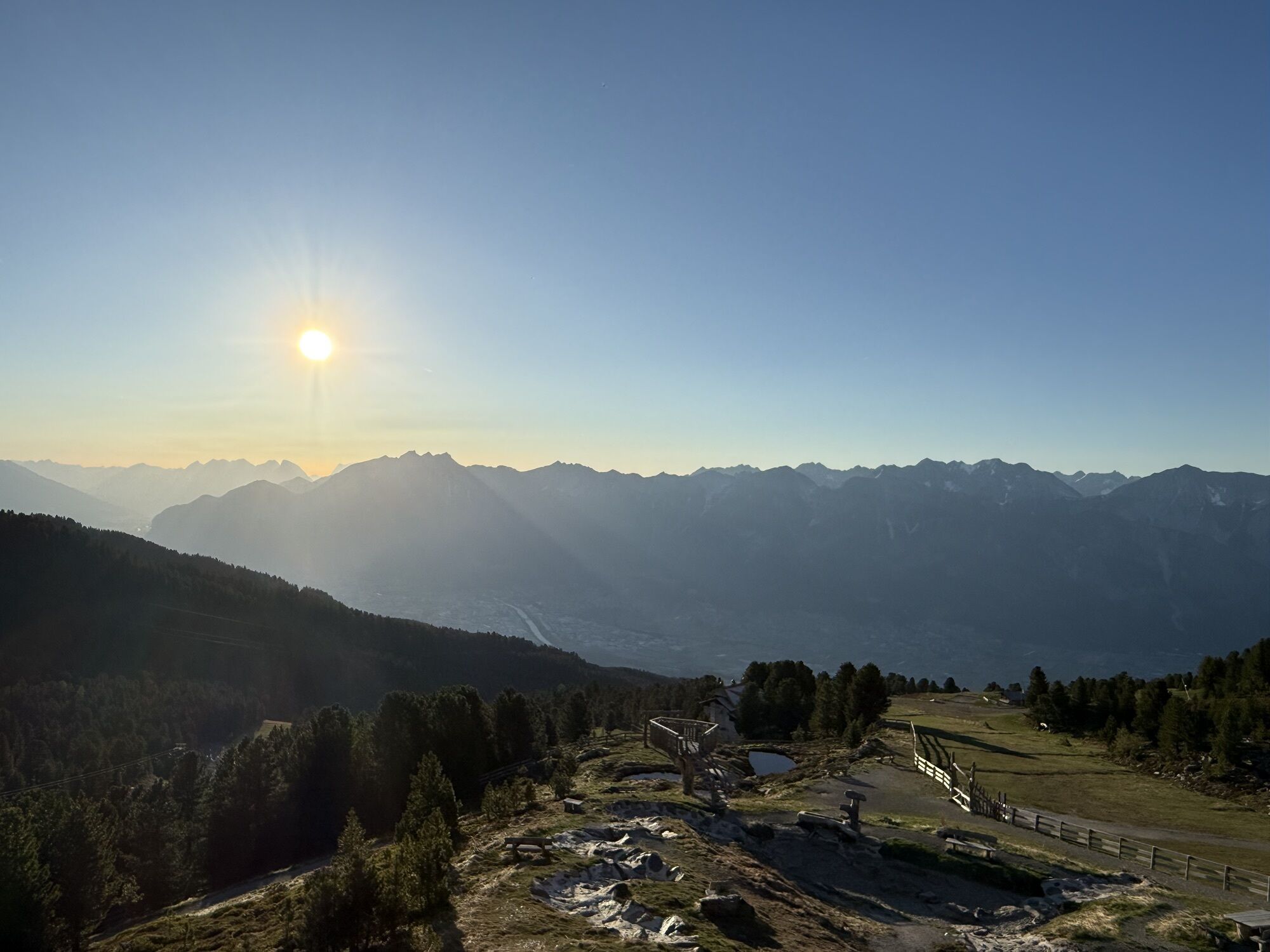
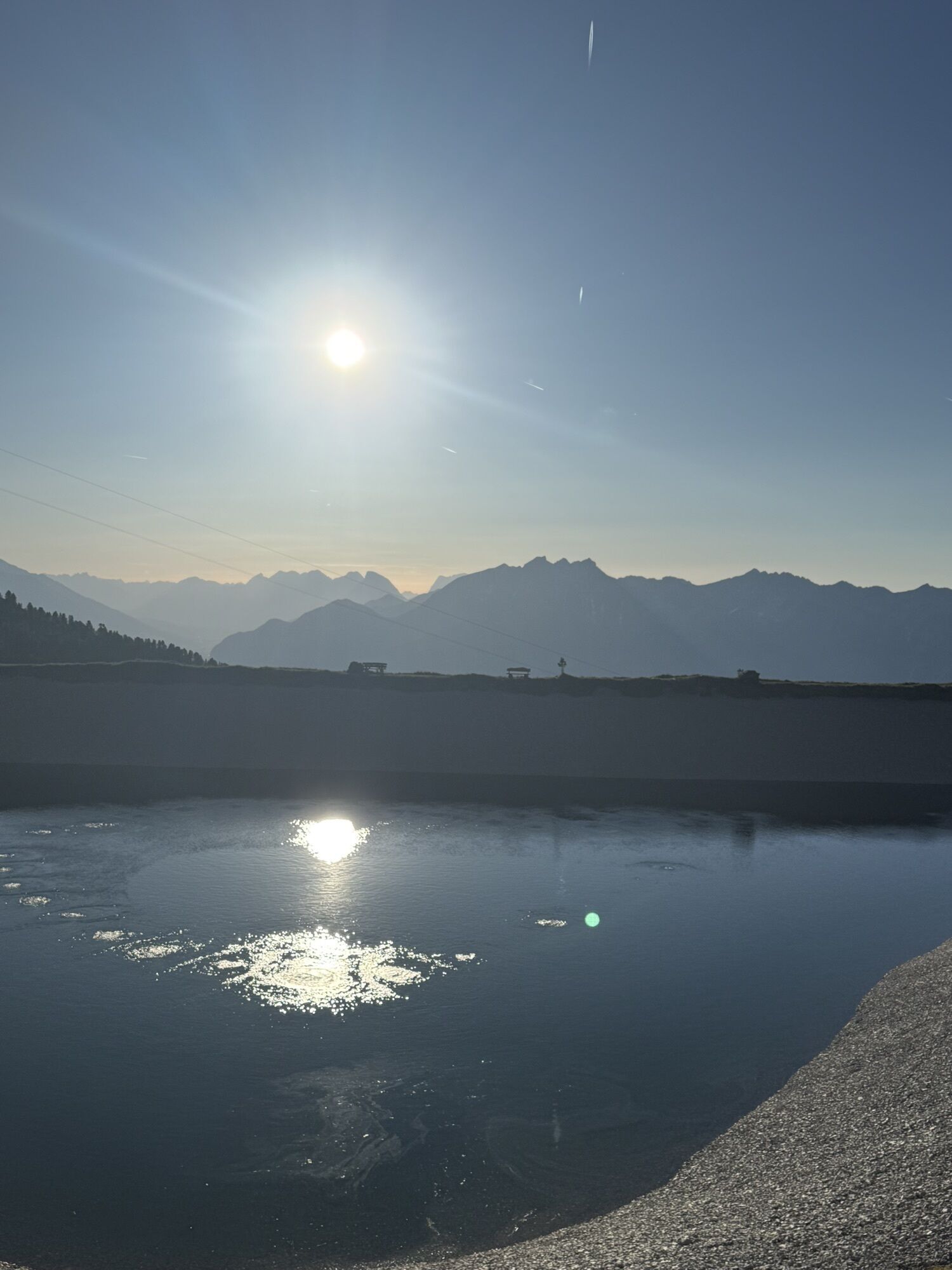
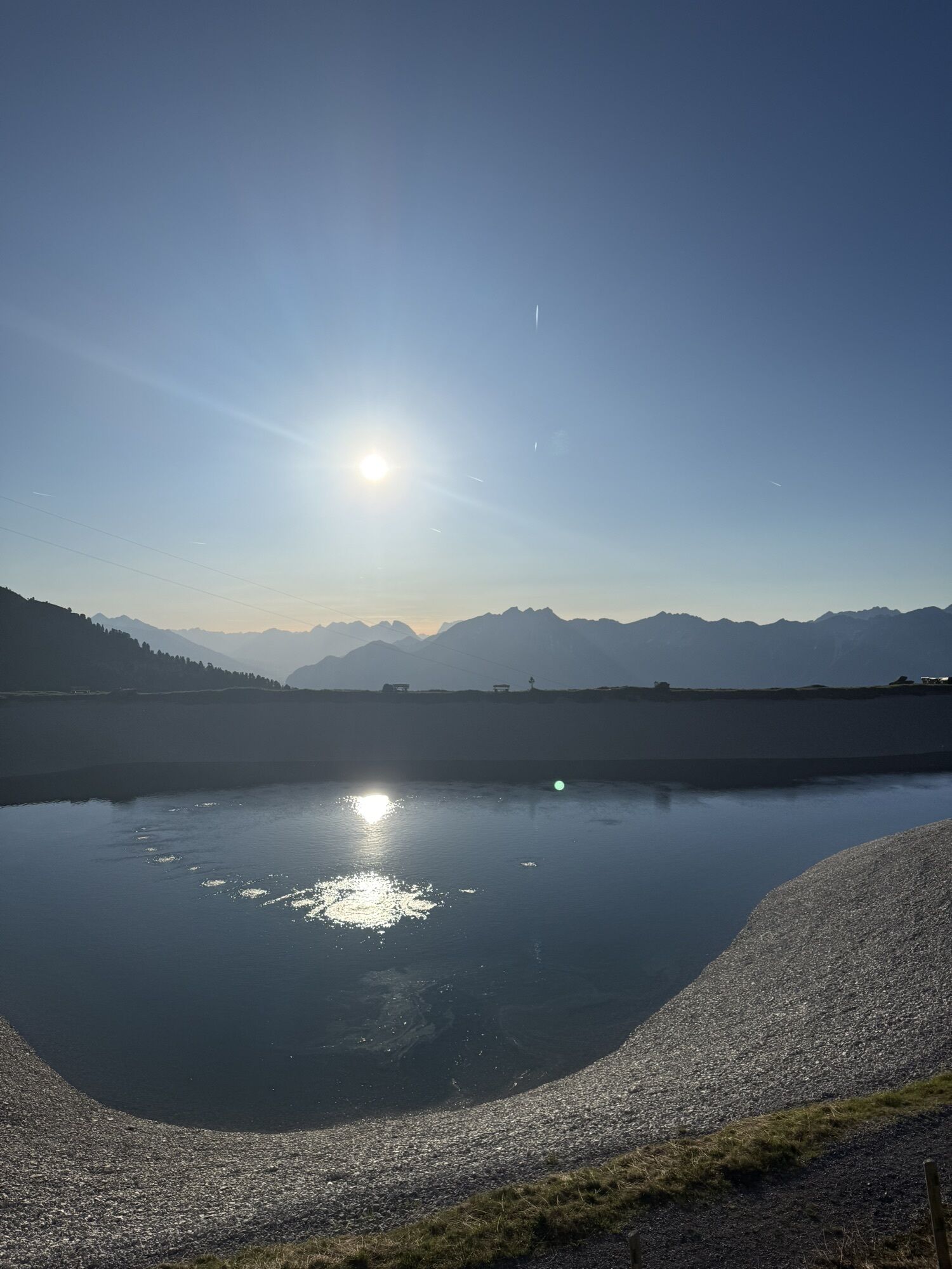
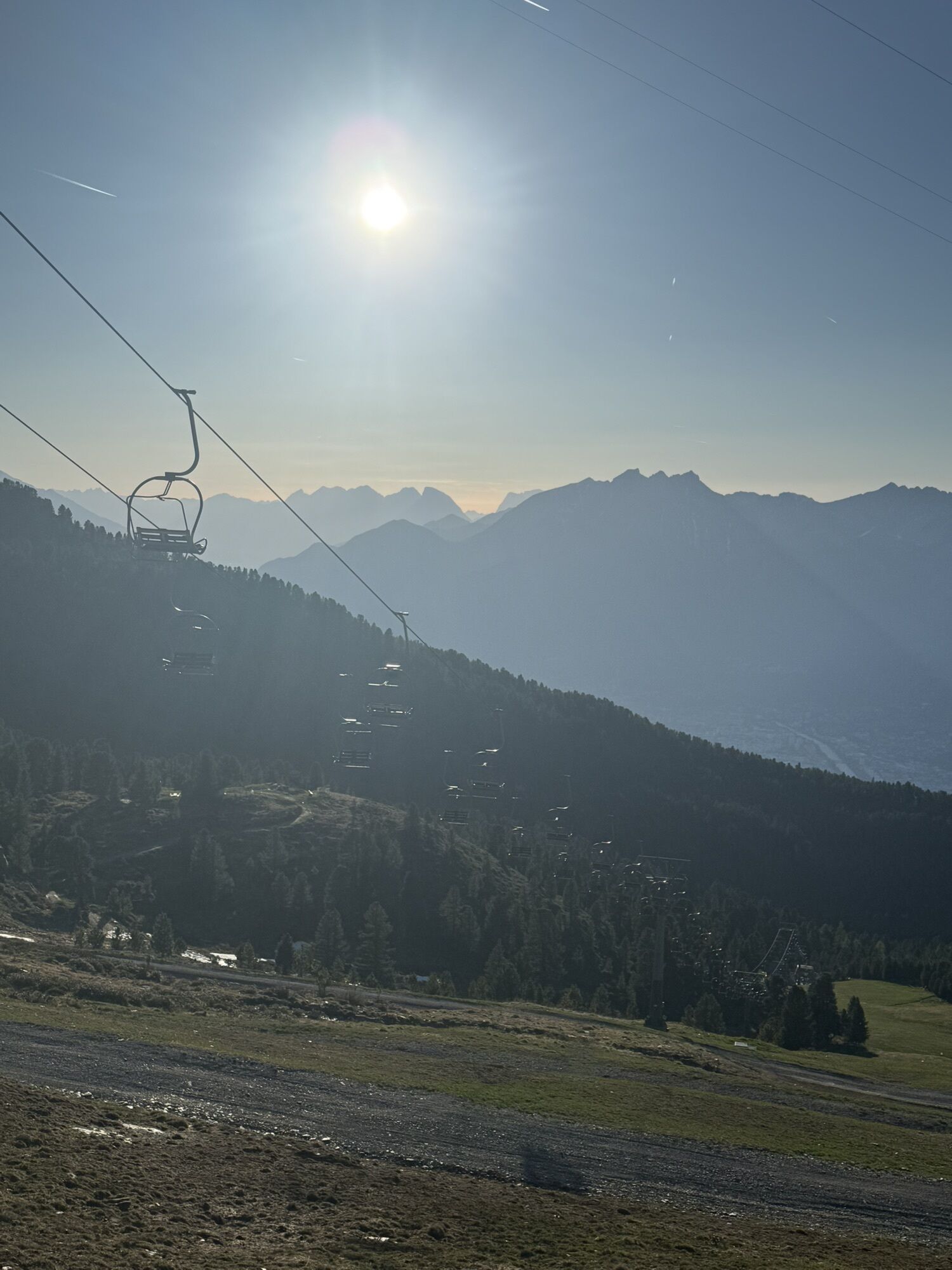
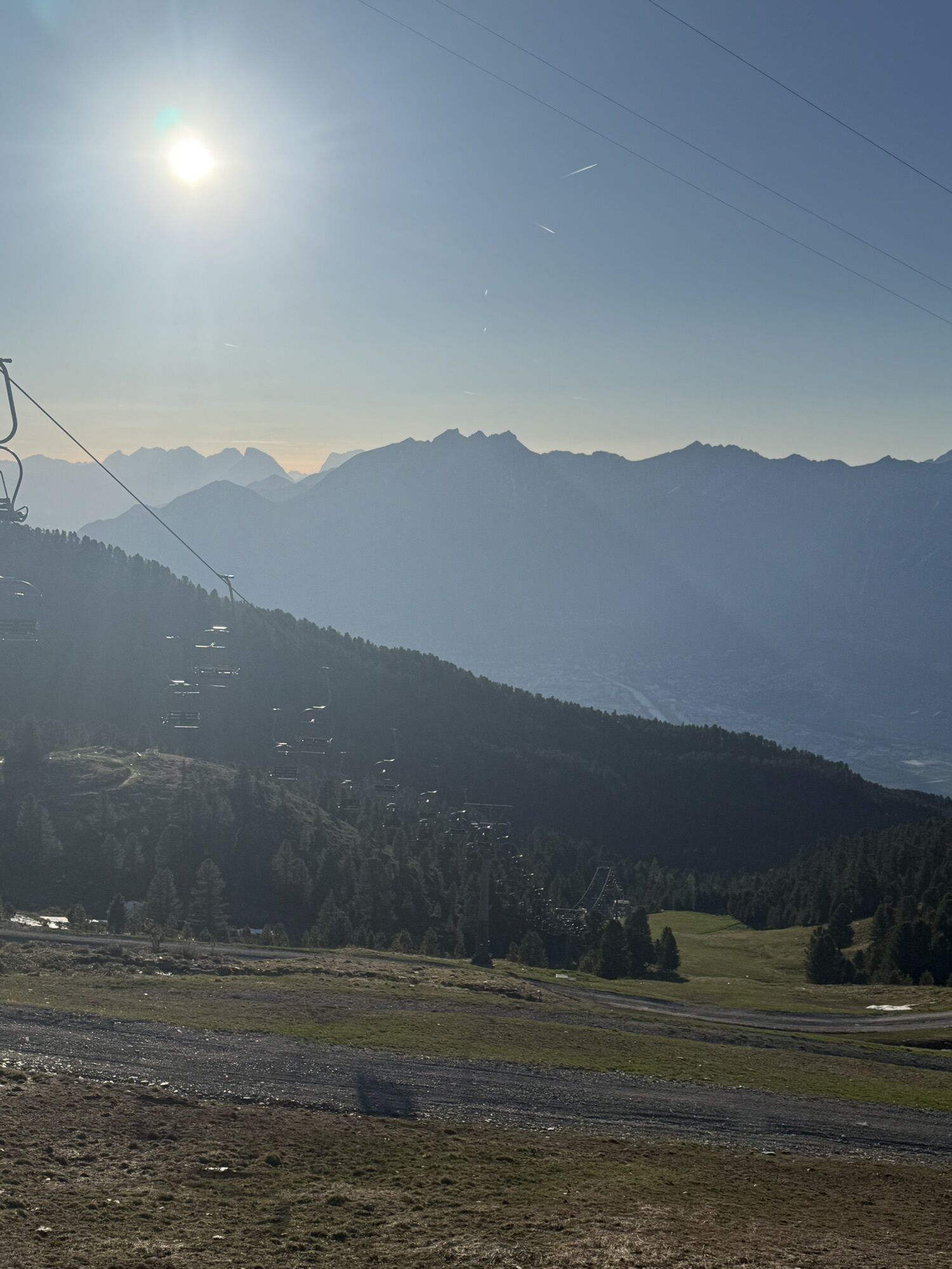
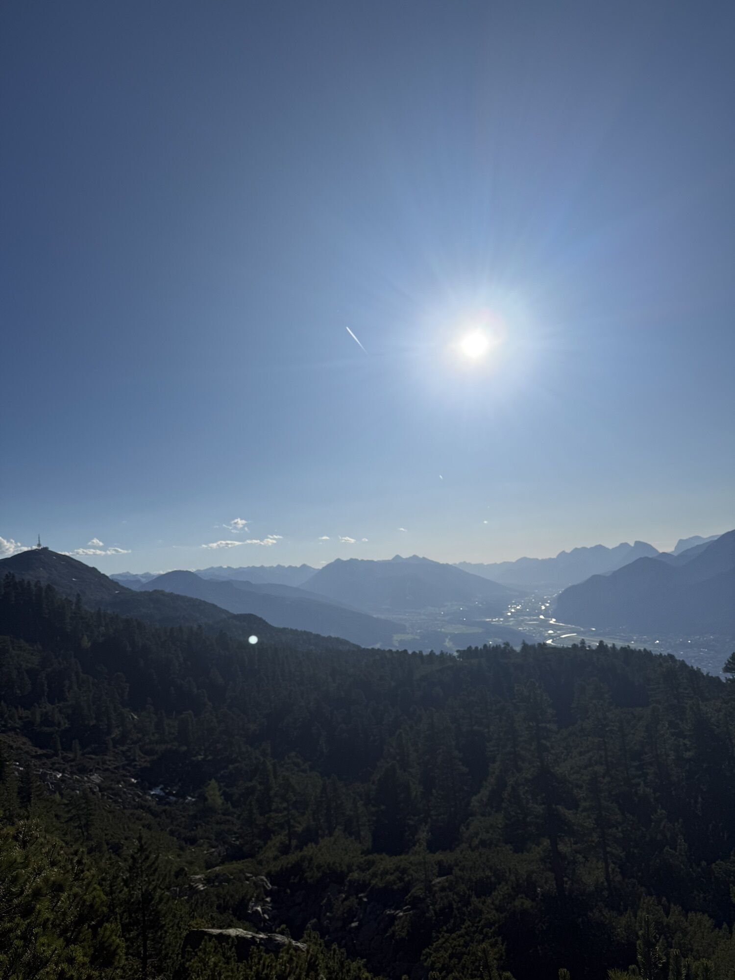
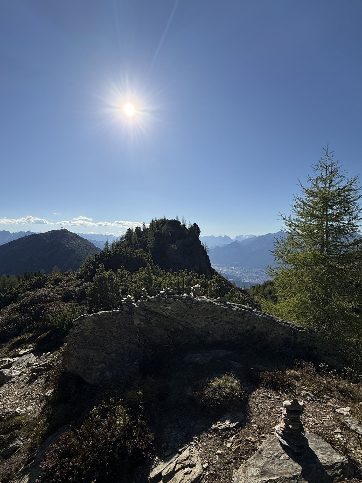
From the Glungezerbahn mountain station - along the Zirbenweg to the Boscheben guesthouse - a short return and turn right onto the Inntaler Höhenweg, with a detour to the Sonnenspitze (2639 m) and the...
From the Glungezerbahn mountain station - along the Zirbenweg to the Boscheben guesthouse - a short return and turn right onto the Inntaler Höhenweg, with a detour to the Sonnenspitze (2639 m) and the Glungezer (2678 m), back to the Glungezerbahn mountain station.

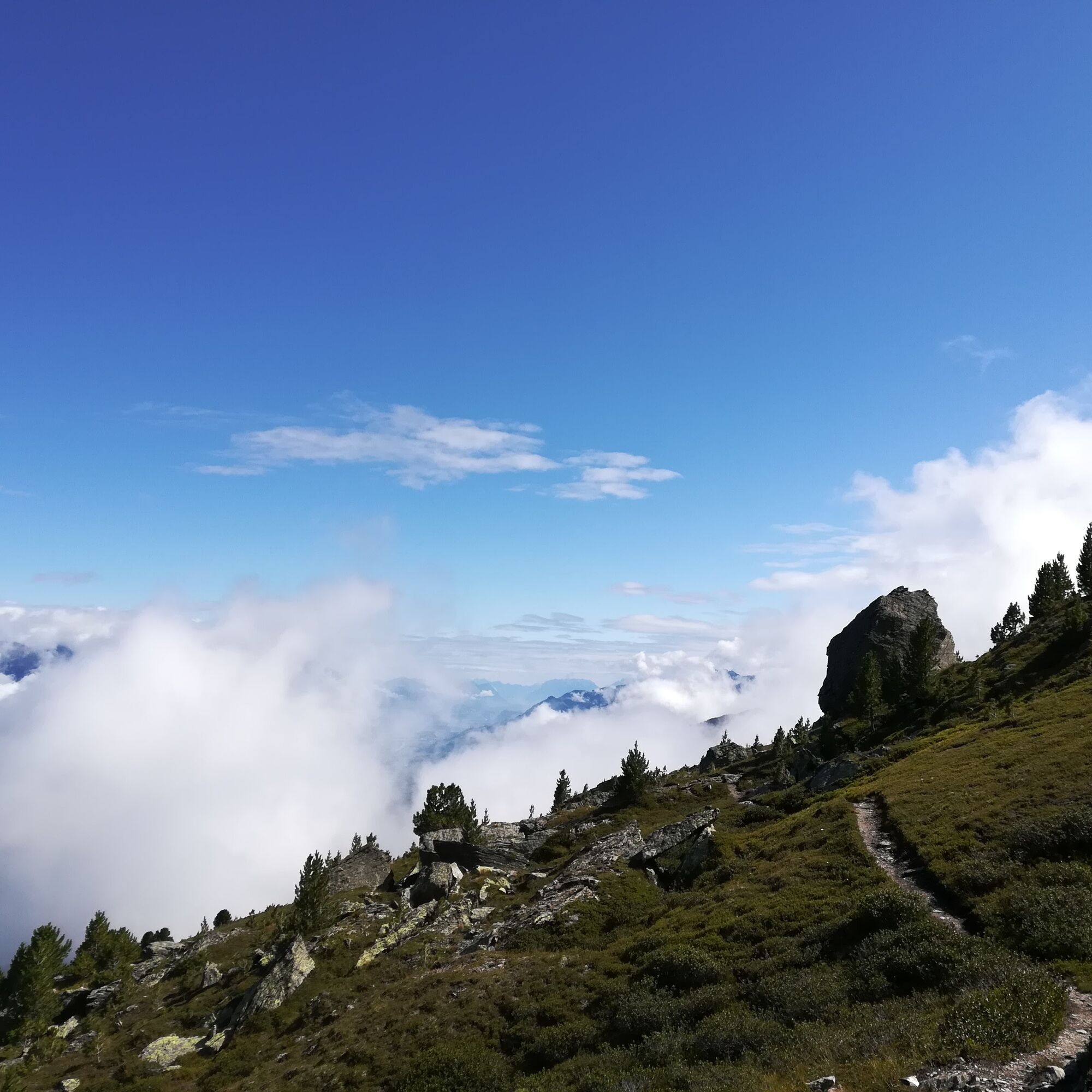
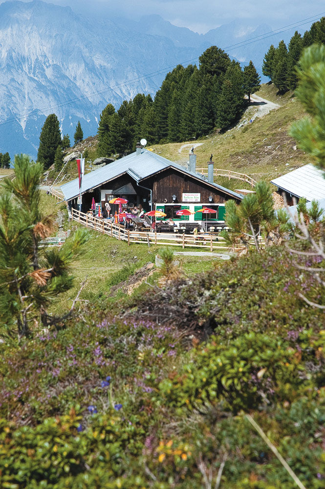
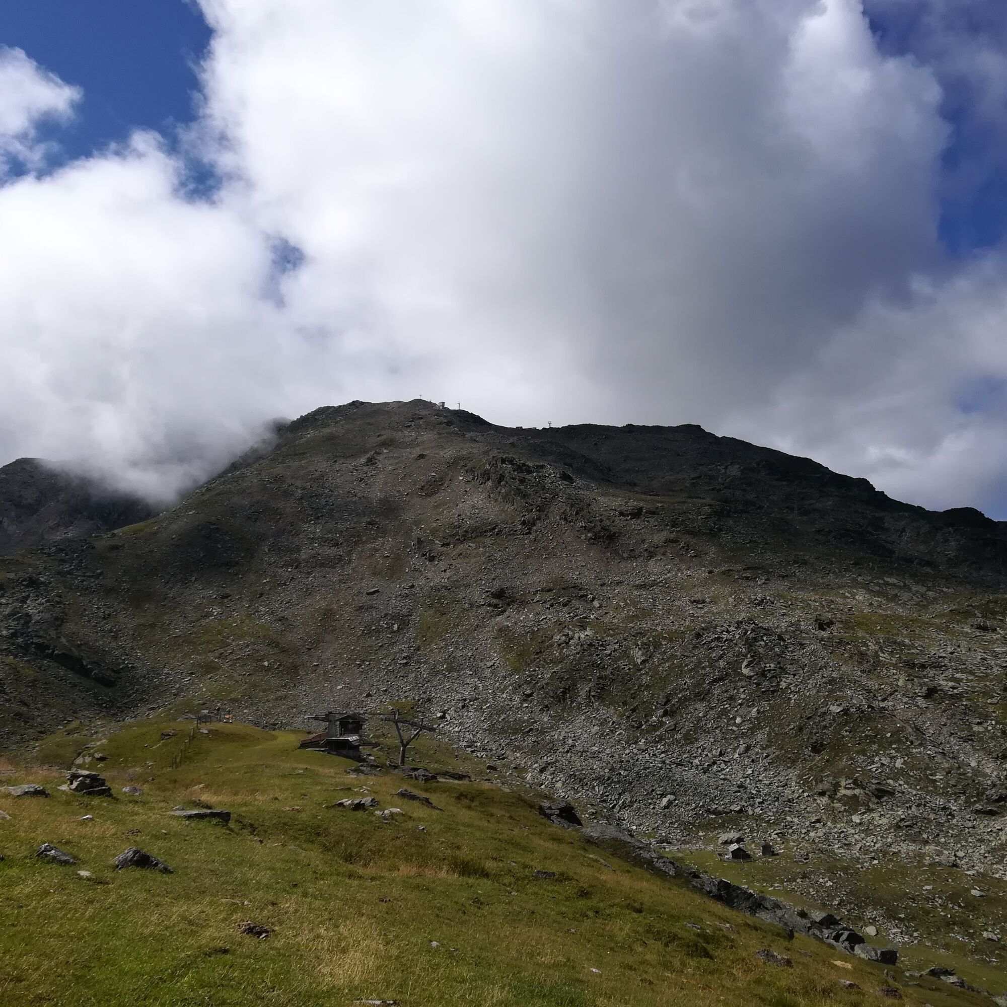
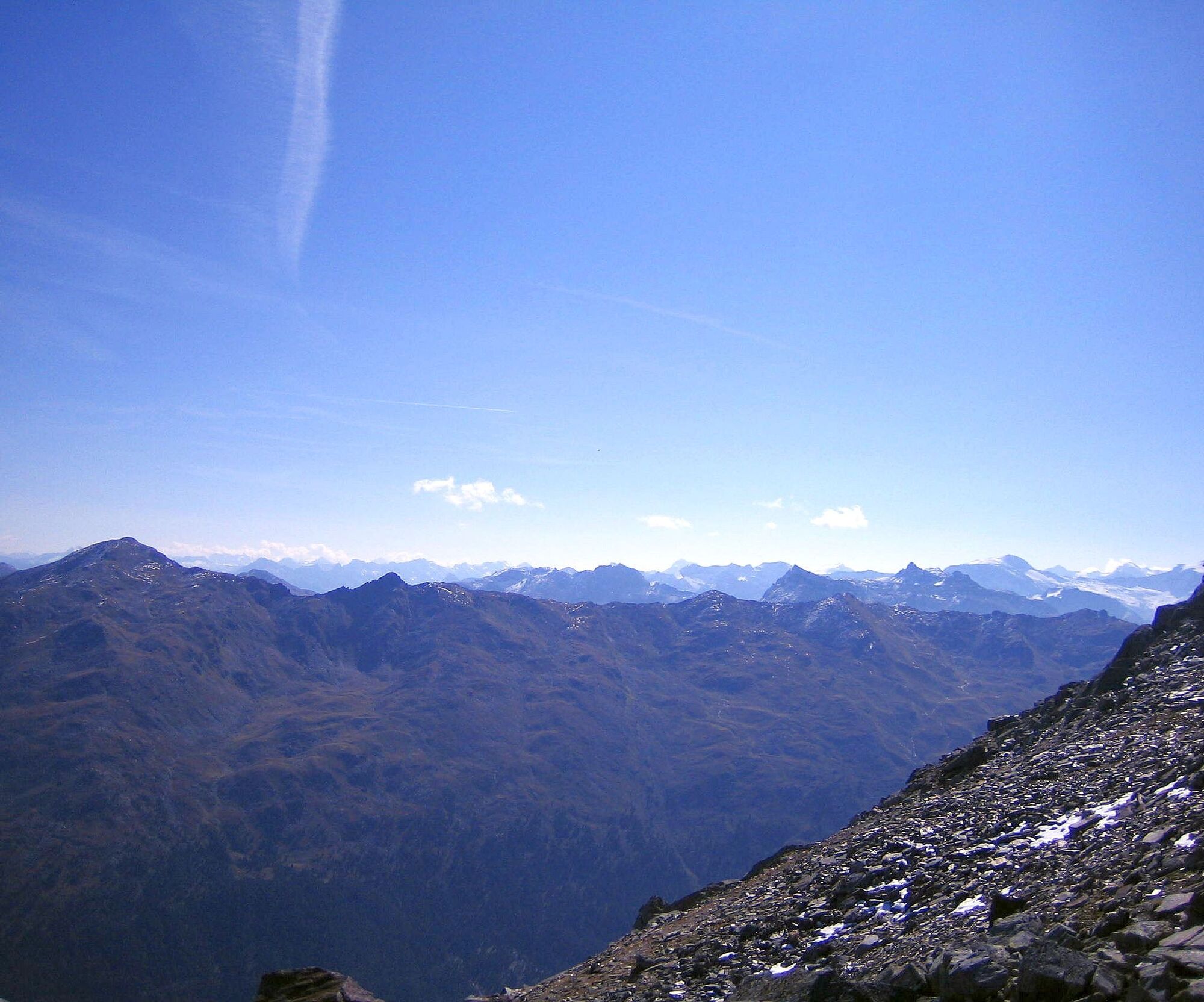
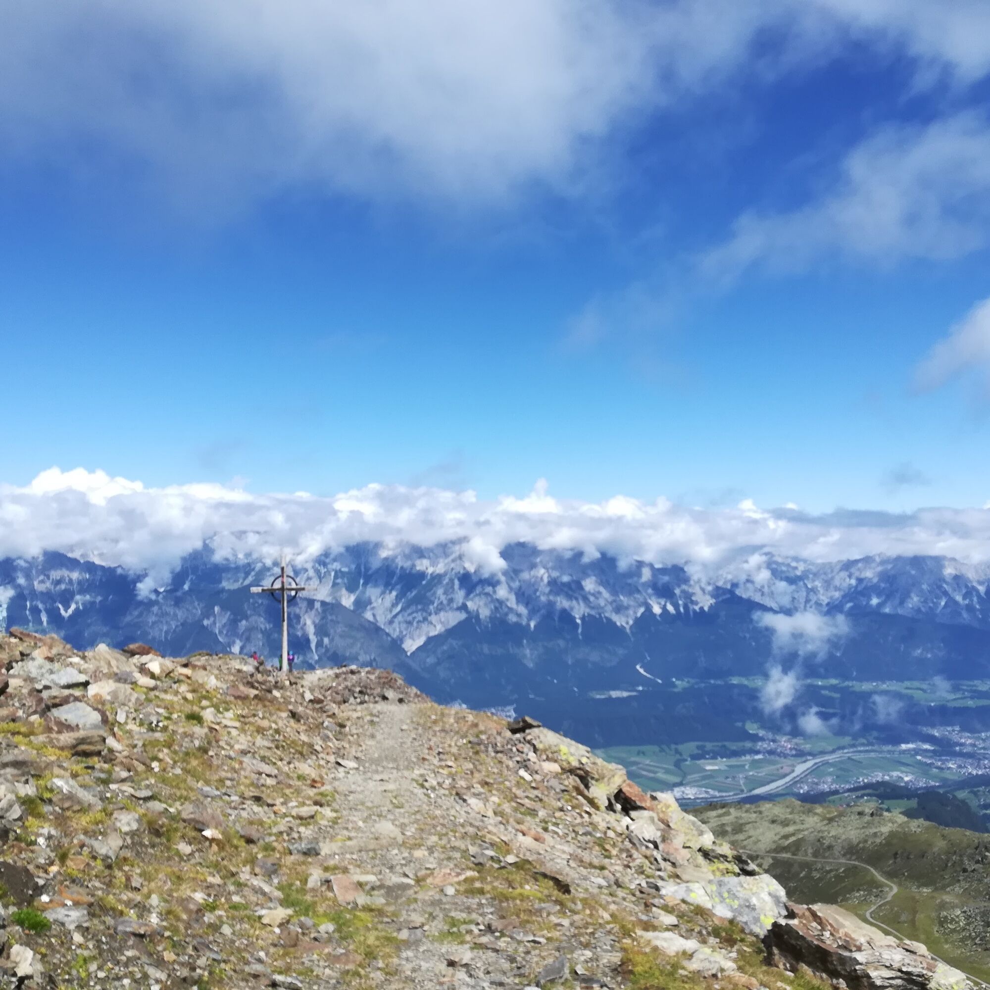
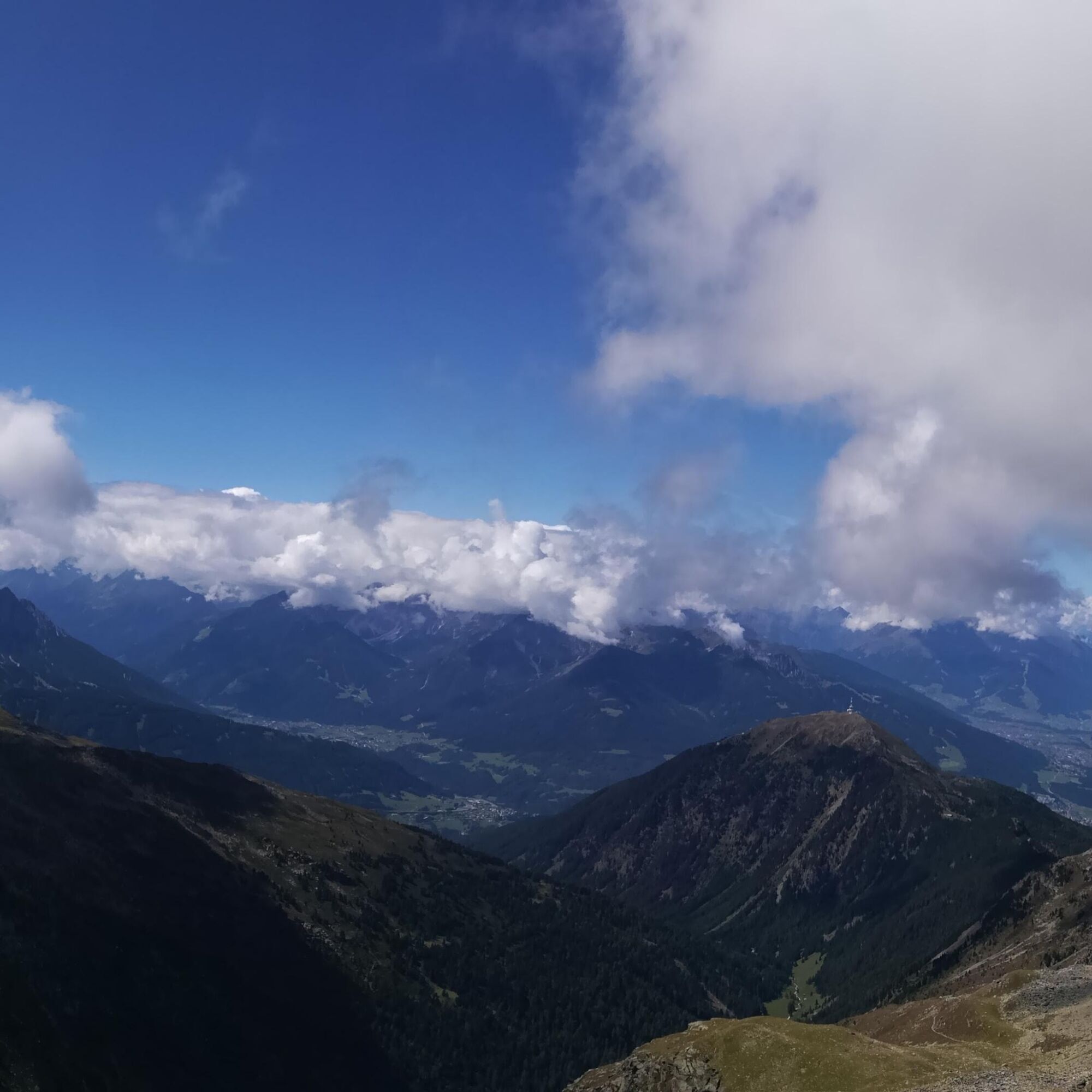
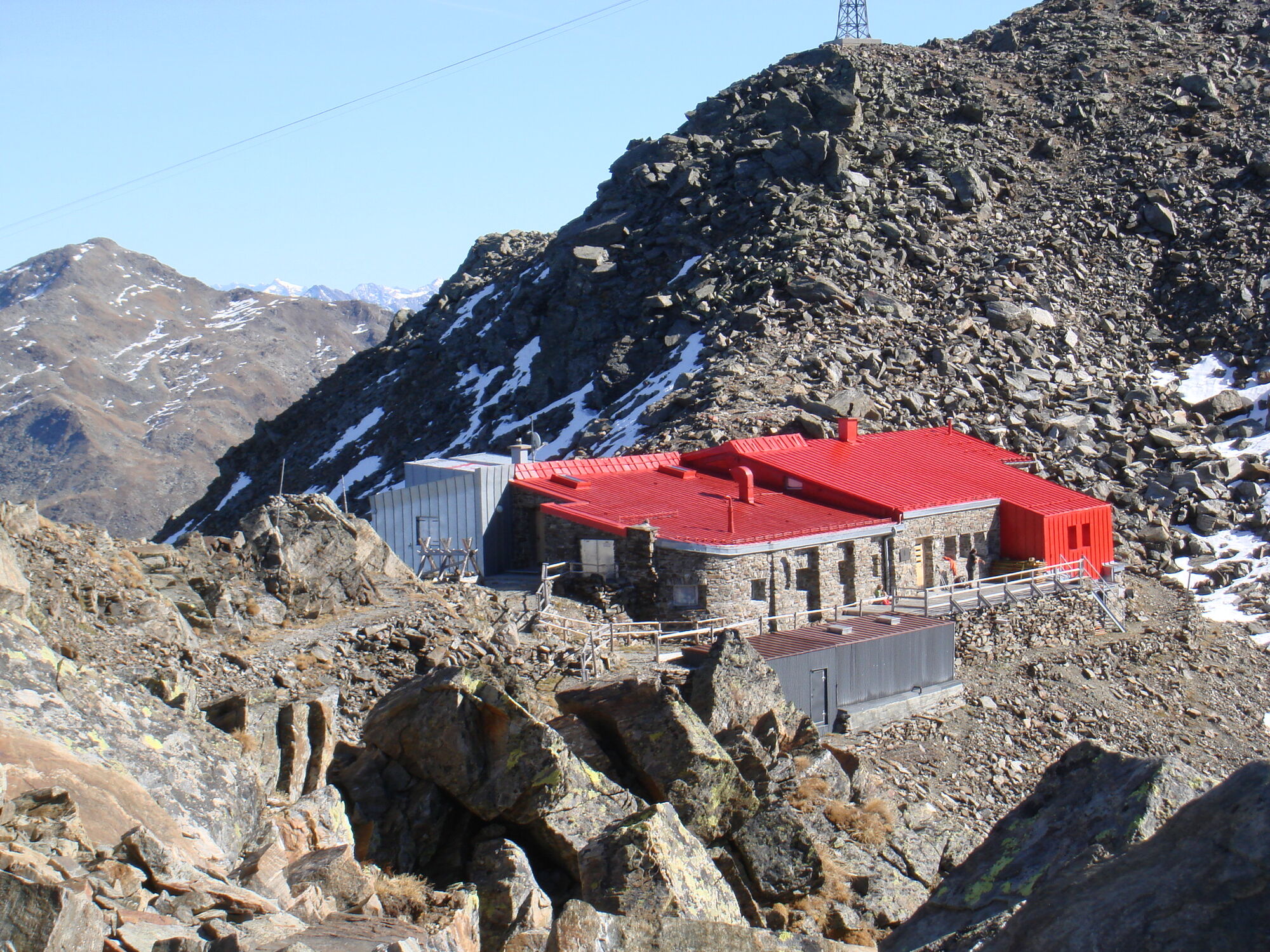
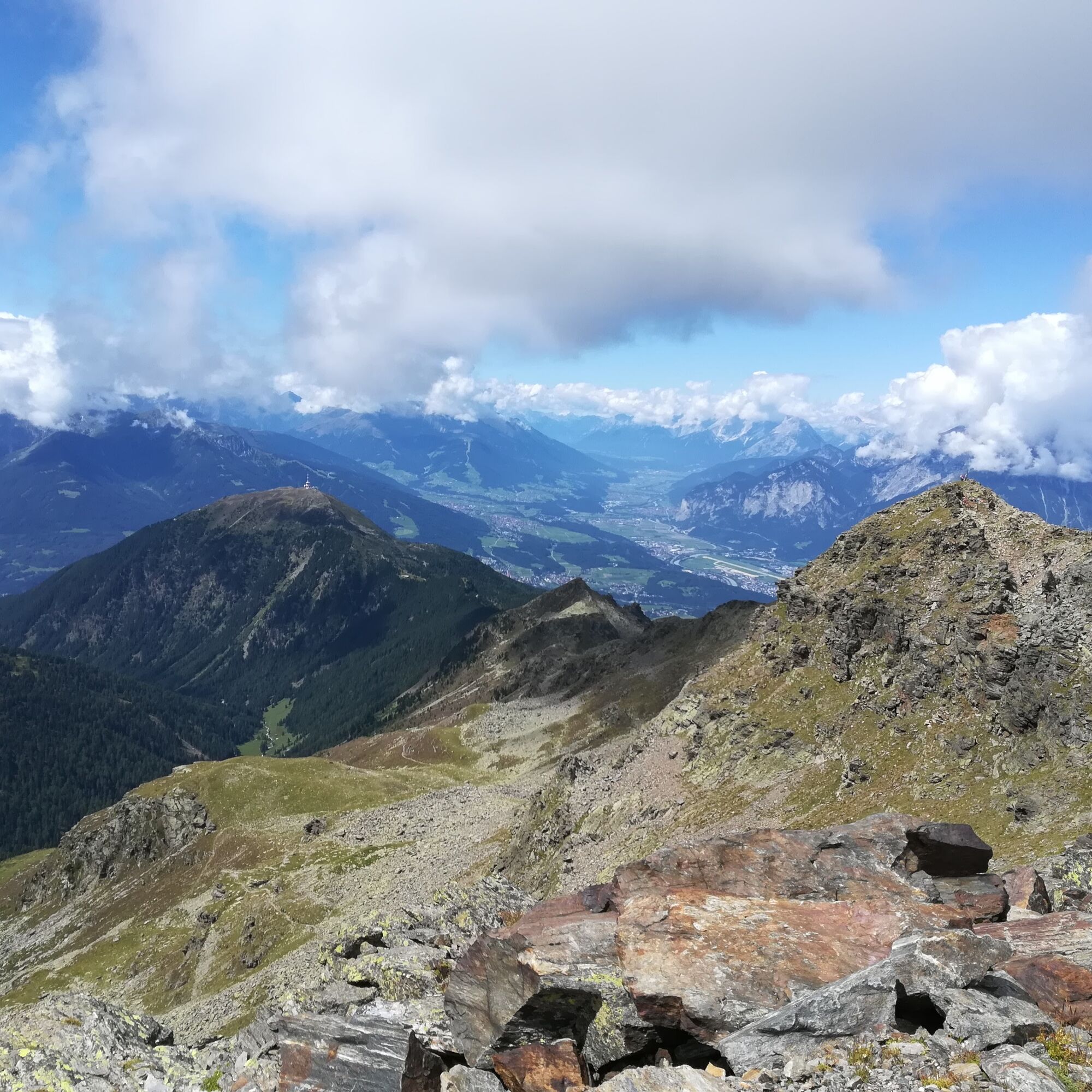
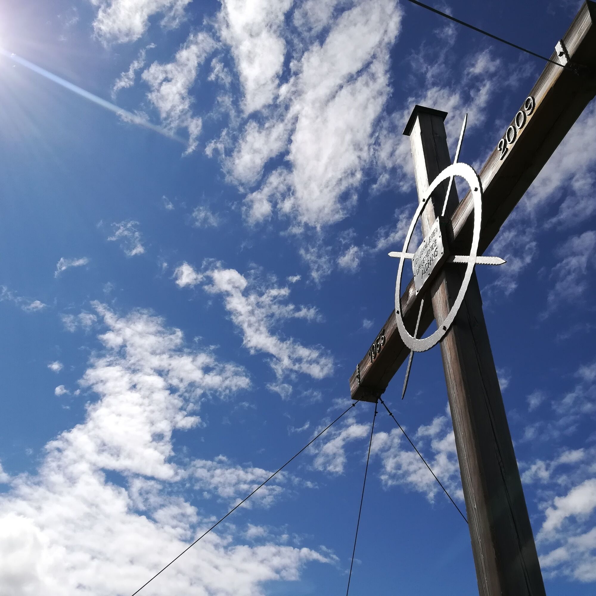
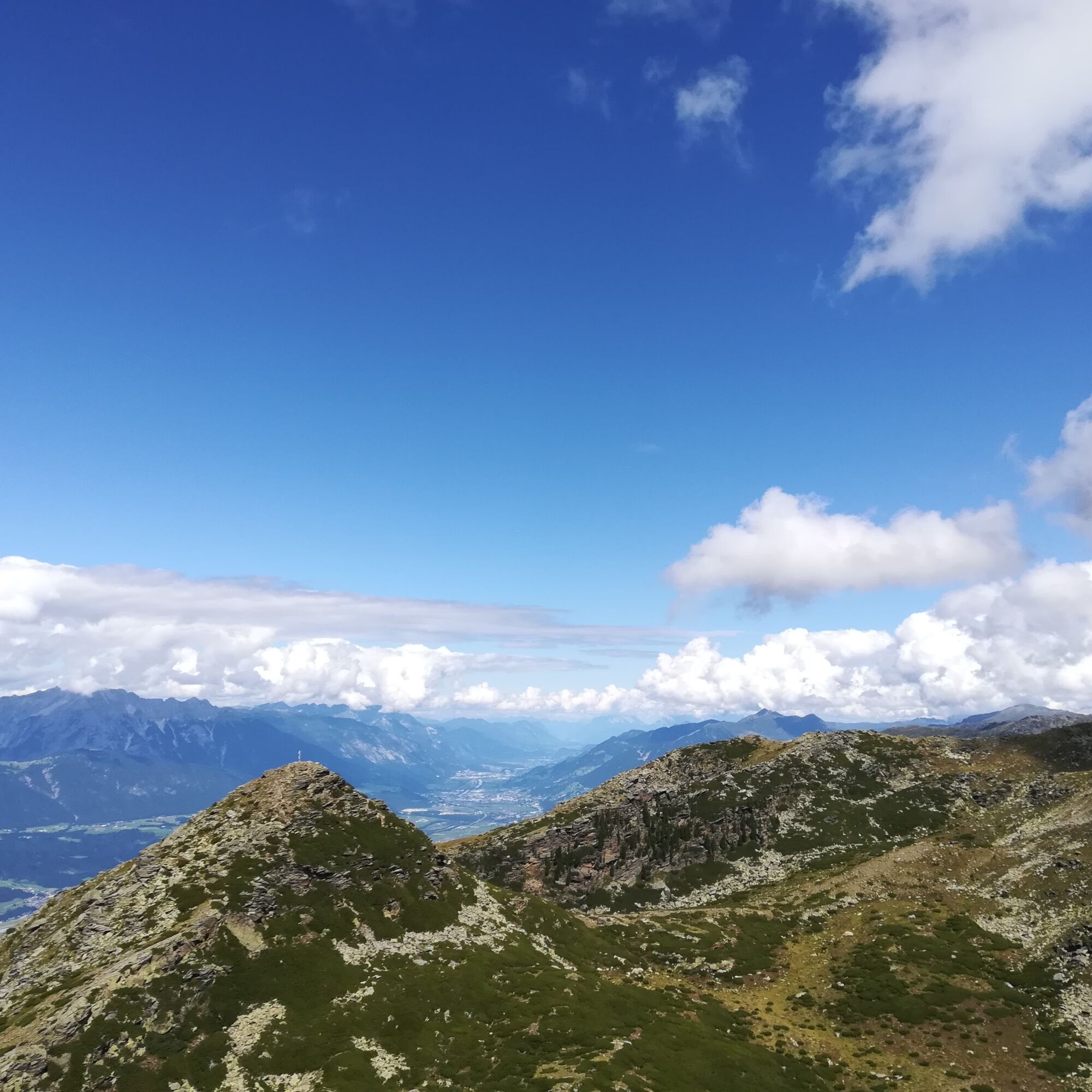
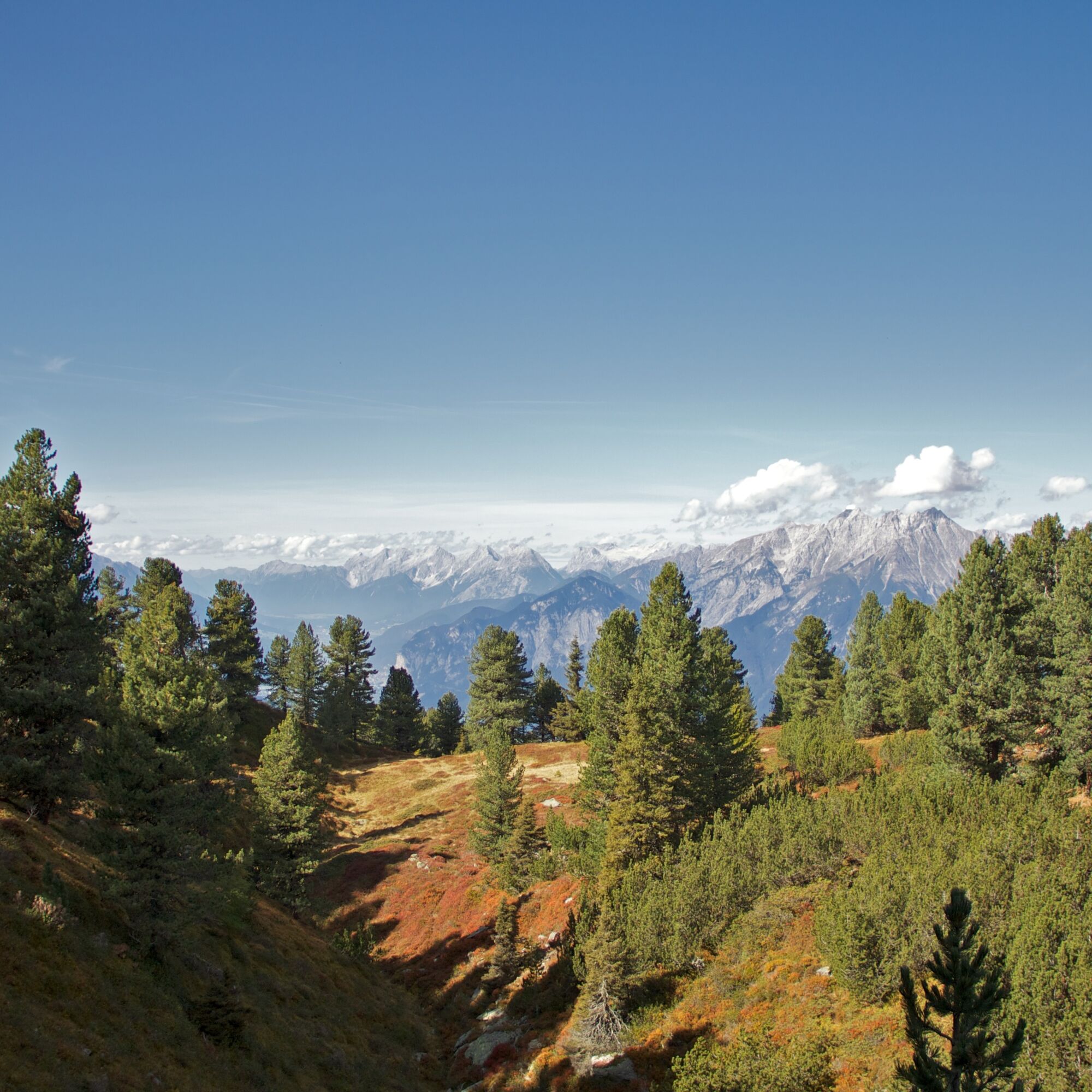

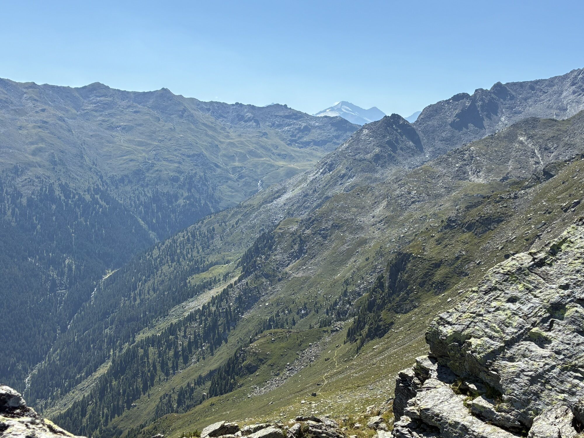
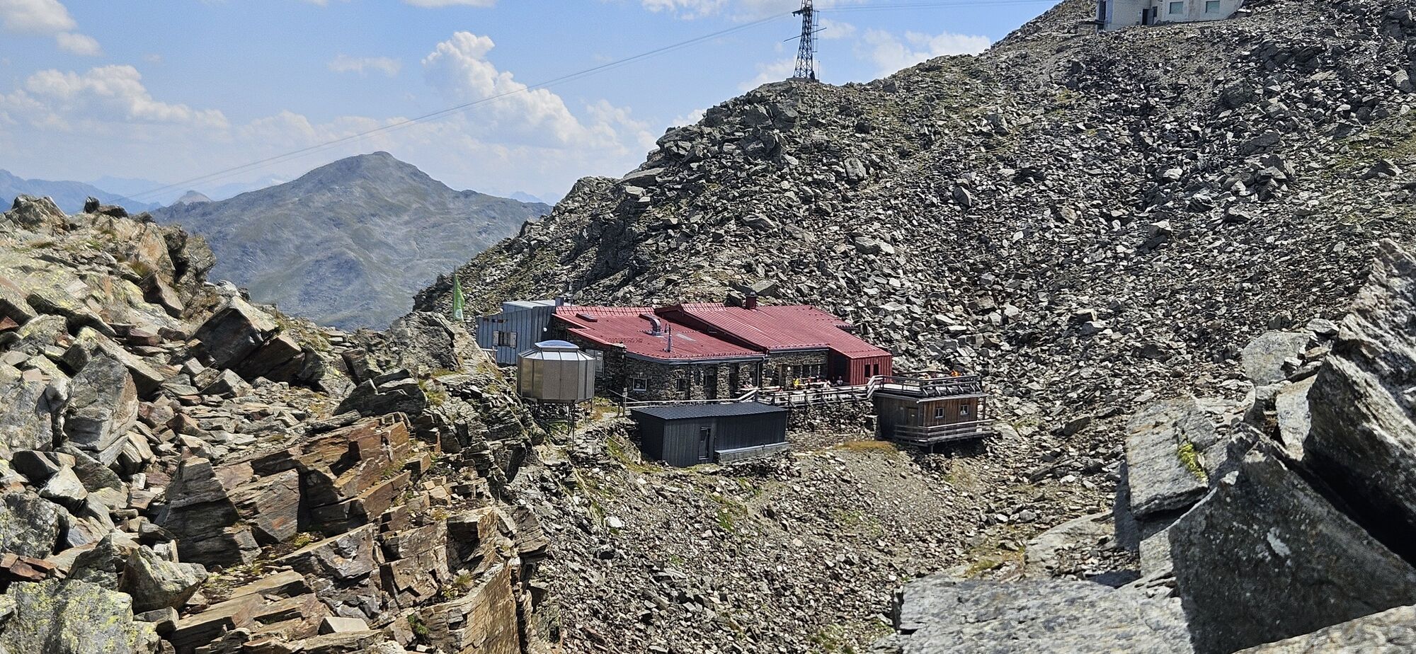
The hike starts at the Glungezerbahn mountain station. Along the Zirbenweg, it proceeds westwards with gentle ascent and descent until shortly before the Boscheben guesthouse. At a fork, we change the "mountain side" and now follow the Inntaler Höhenweg on the Viggartal side. The path leads us past the Viggarspitze and onwards in about 2 hours to the Glungezer hut. A detour to the Sonnenspitze (2639 m) and the Glungezer (2678 m) would be worthwhile here.
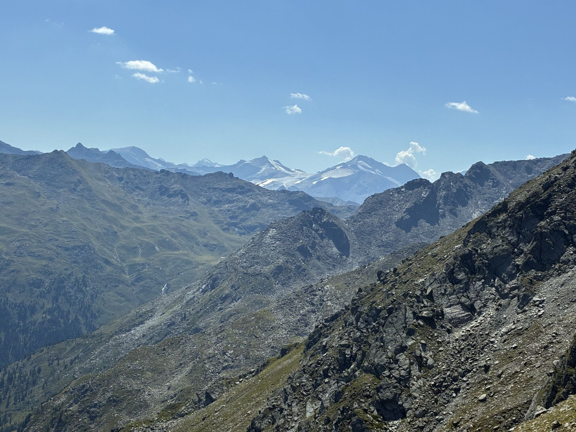
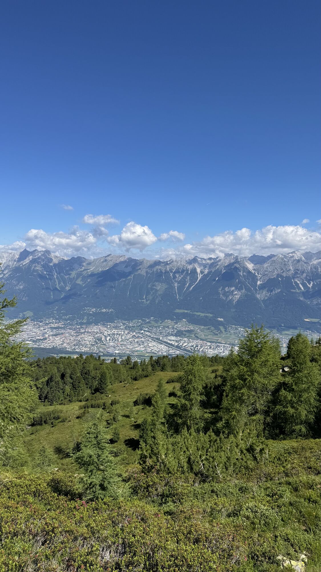
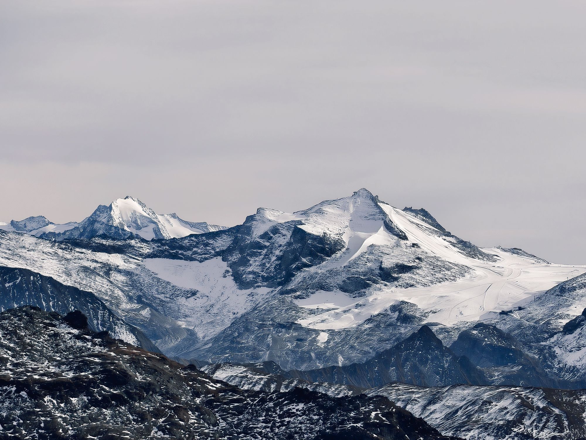
The Glungezer impresses with a magnificent panoramic view of "500 peaks, ridges and passes".
The descent takes place via the "Panorama trail" in 1.5 hours or via the "Hirschvoglsteig" to the Tulfeinalm. Here, the starting point of the hike, the Glungezerbahn mountain station, is reached again.
Áno
Áno
Exit Hall Mitte - Tulfes
Arrival with the Line 540 from Innsbruck and Hall in Tirol to the Glungezer Bahn stop
More information at:
Parking is available directly at the Glungezerbahn
T2
A detour to the Viggarspitze (approx. 20 min from the actual path) turns this route into a 3-summit route!
 Získajte prehľad
Vždy naživo na mieste s viac ako 9 500 webovými kamerami. bergfex Ako používateľ Pro si teraz môžete pozrieť príslušné webové kamery pre mnohé zájazdy v aplikácii zájazdy z. Môžete si tak priamo prezerať aktuálne podmienky.
Získajte prehľad
Vždy naživo na mieste s viac ako 9 500 webovými kamerami. bergfex Ako používateľ Pro si teraz môžete pozrieť príslušné webové kamery pre mnohé zájazdy v aplikácii zájazdy z. Môžete si tak priamo prezerať aktuálne podmienky.

Obľúbené výlety v okolí
-
4,8
Felix-Kuen via ferrata on the Hundskopf
ťažkéVia ferrata 2,18 km -
4,7
Halltal - Bettelwurfhütte - Kleiner und Großer Bettelwurf
ťažkéVysoké turné 16,2 km -
4,8
Axamer Lizum zum Halsl und weiter zur Saile/Nockspitze
strednáTuristika 3,85 km -
4,9
Patscherkofel Gipfelrunde mit Zirbenweg
svetloTuristika 6,52 km -
4,8
Seegrube - Hungerburg
strednáTuristika 5,04 km -
4,6
Patscherkofl
strednáTuristika 18,5 km -
3,9
To the alpine inn St. Magdalena in the Halltal
strednáTuristika 7,24 km -
4,6
To the scenic Hochmahdkopf
strednáTuristika 8,31 km -
4,1
Innsbruck/ Igls: Patscherkofel
Mountainbike 14,1 km -
4,3
Up to the Largoz
strednáTuristika 7,01 km

Turistika a stopovanie


Nenechajte si ujsť ponuky a inšpiráciu na ďalšiu dovolenku
Vaša e-mailová adresa bol pridaný do poštového zoznamu.





