


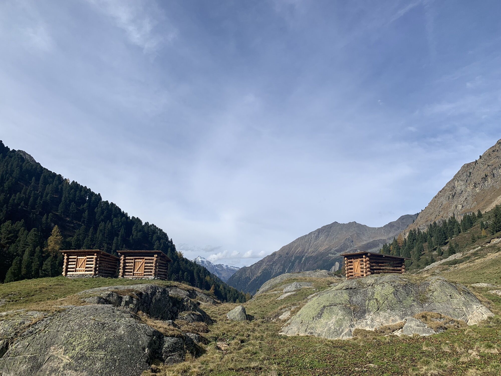
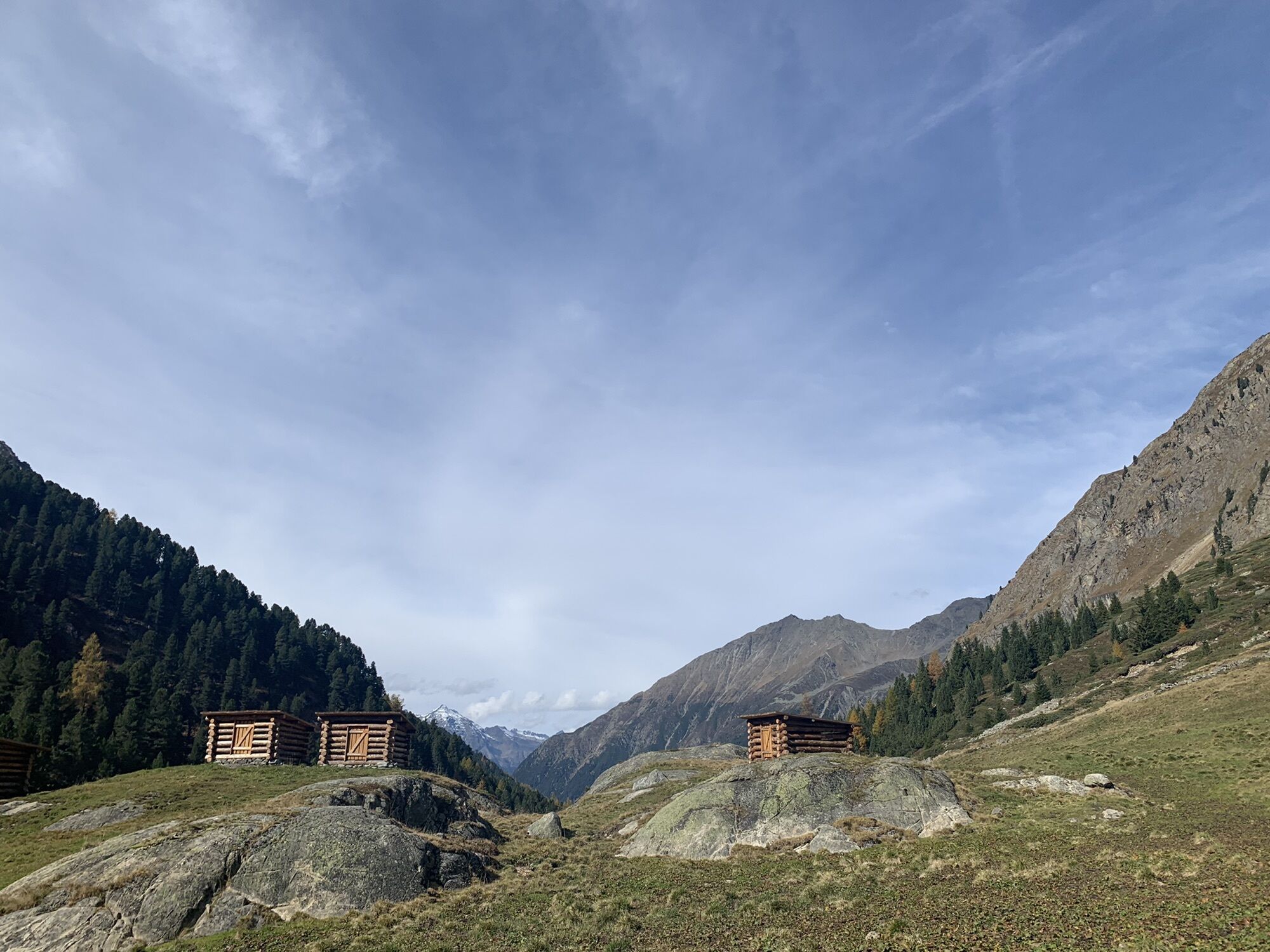
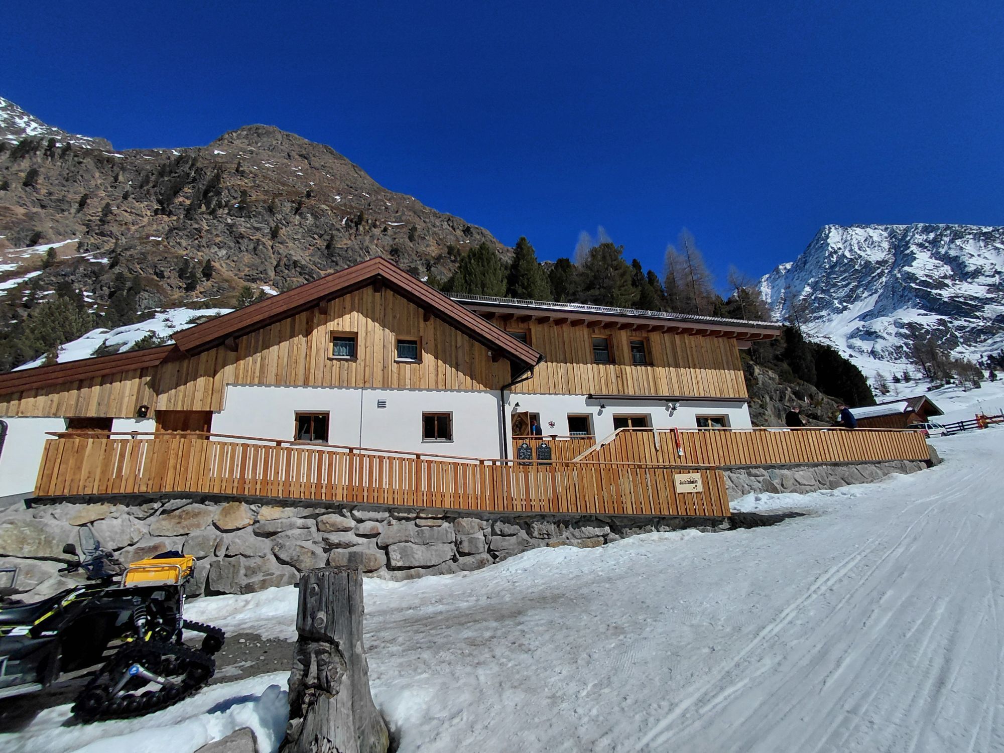
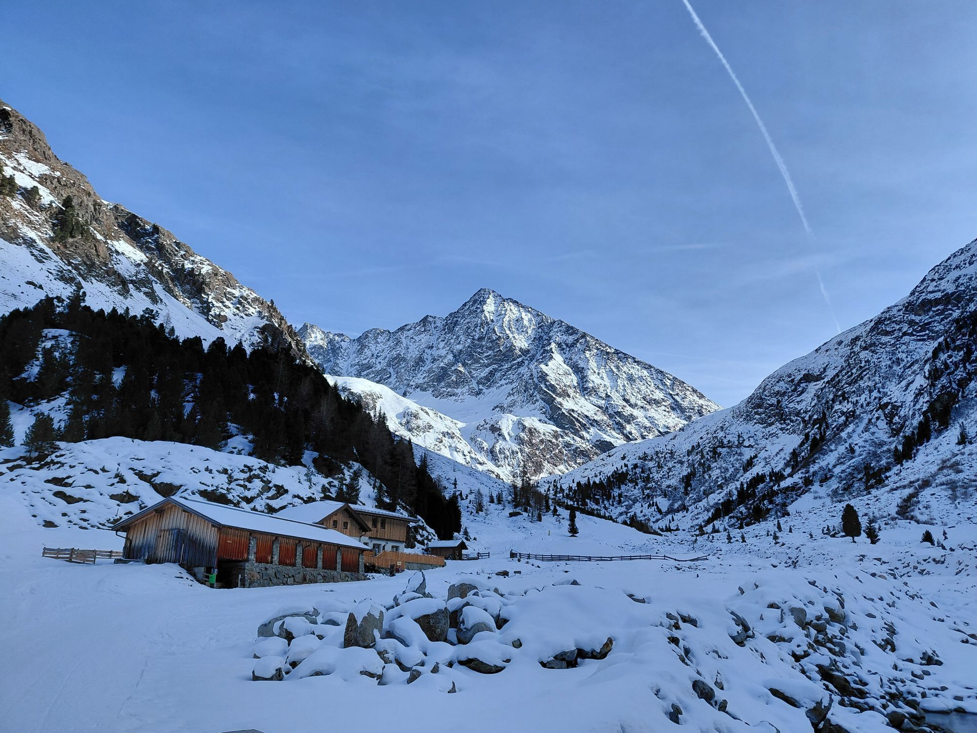
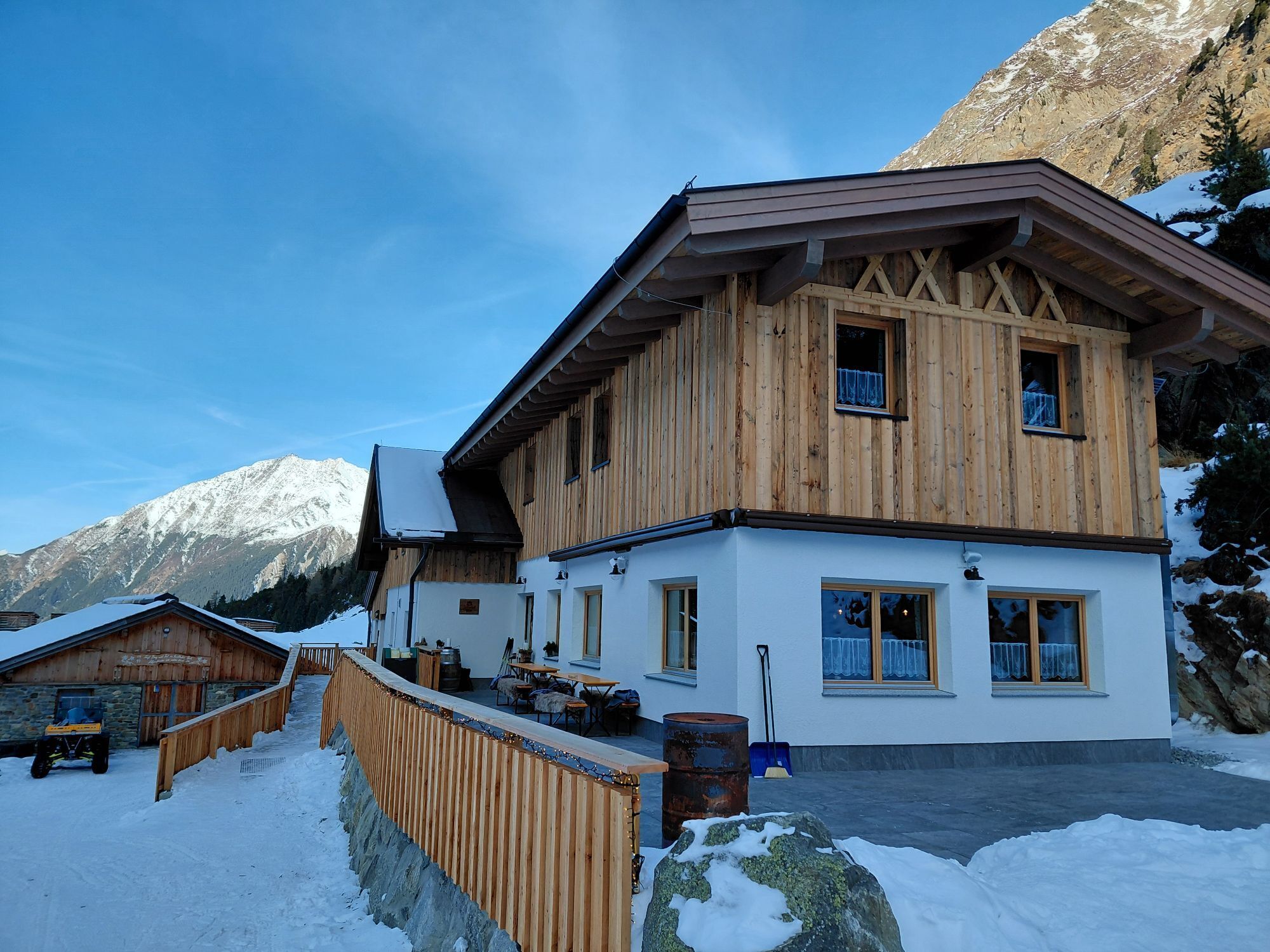
Sulztalalm - Längenfeld/Gries 252

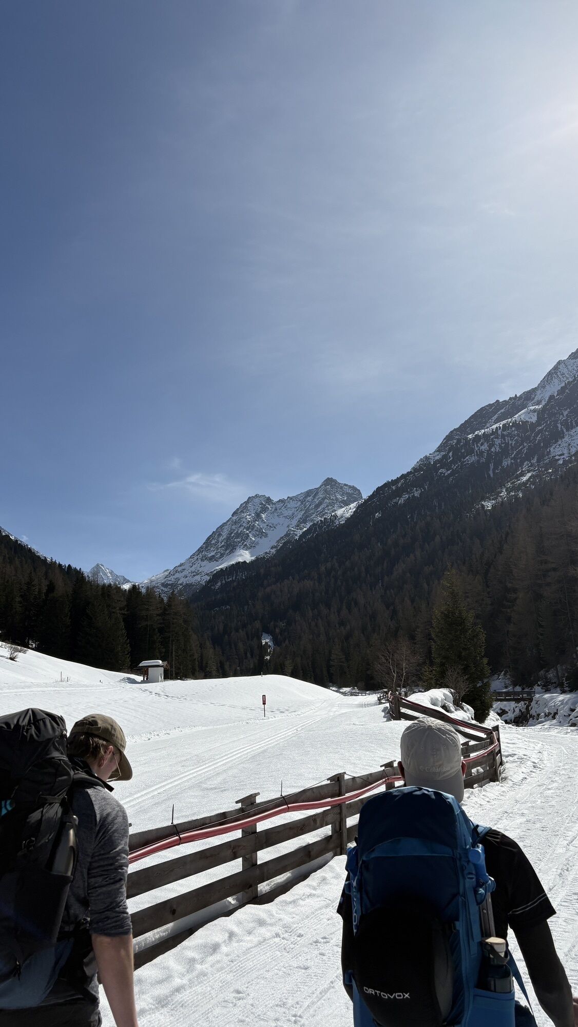
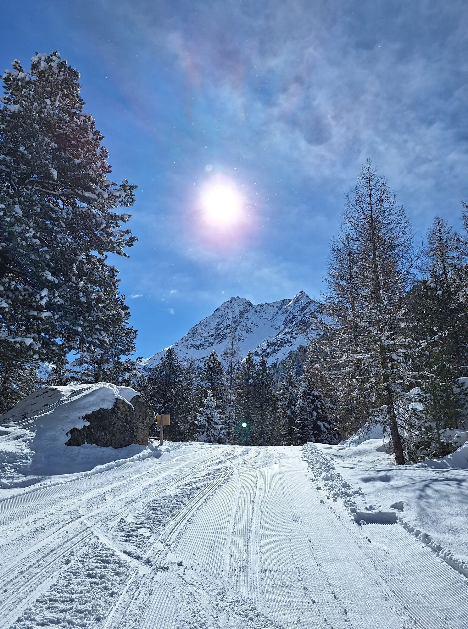
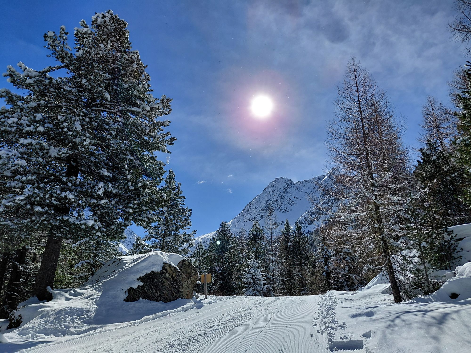
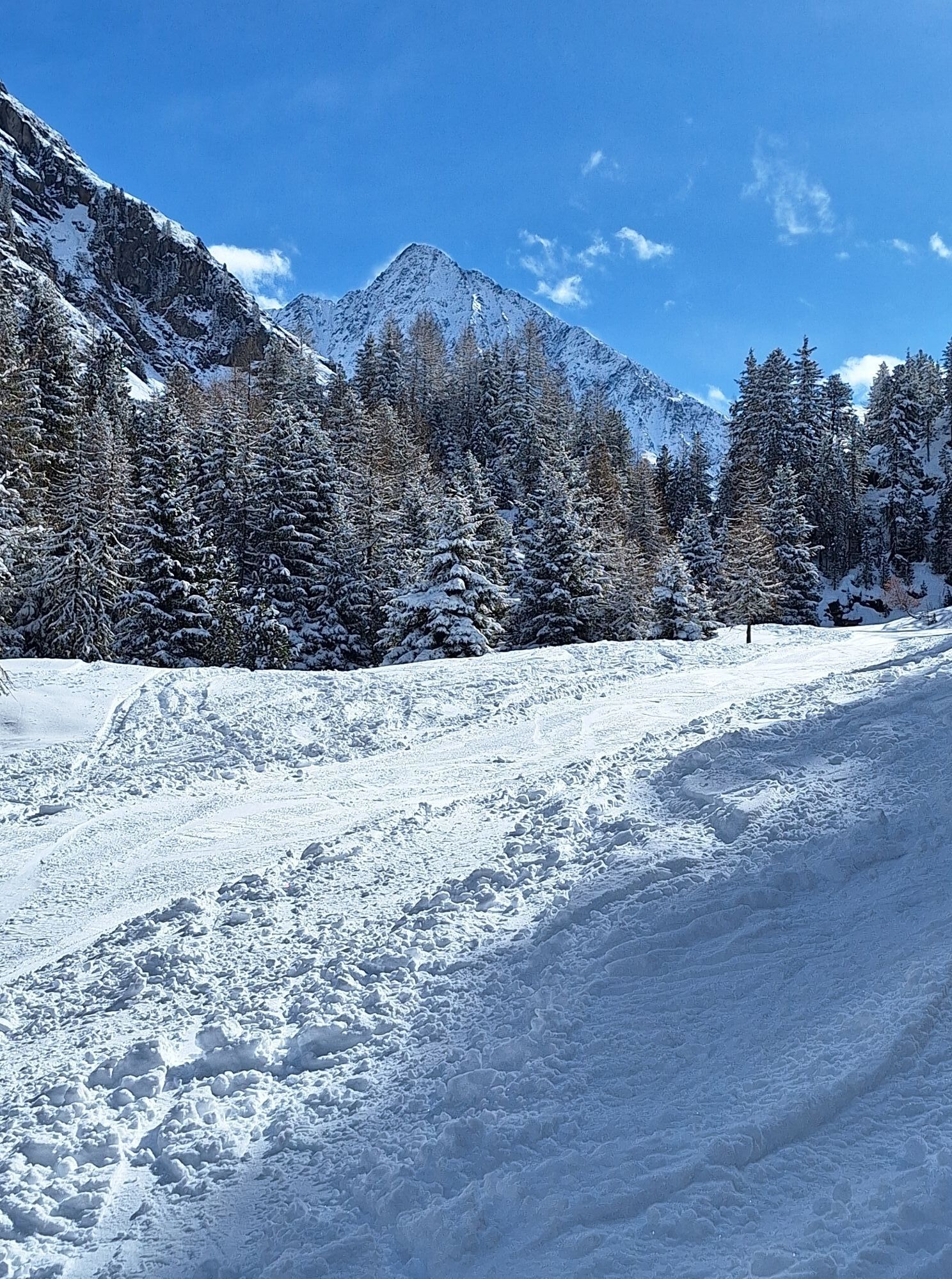
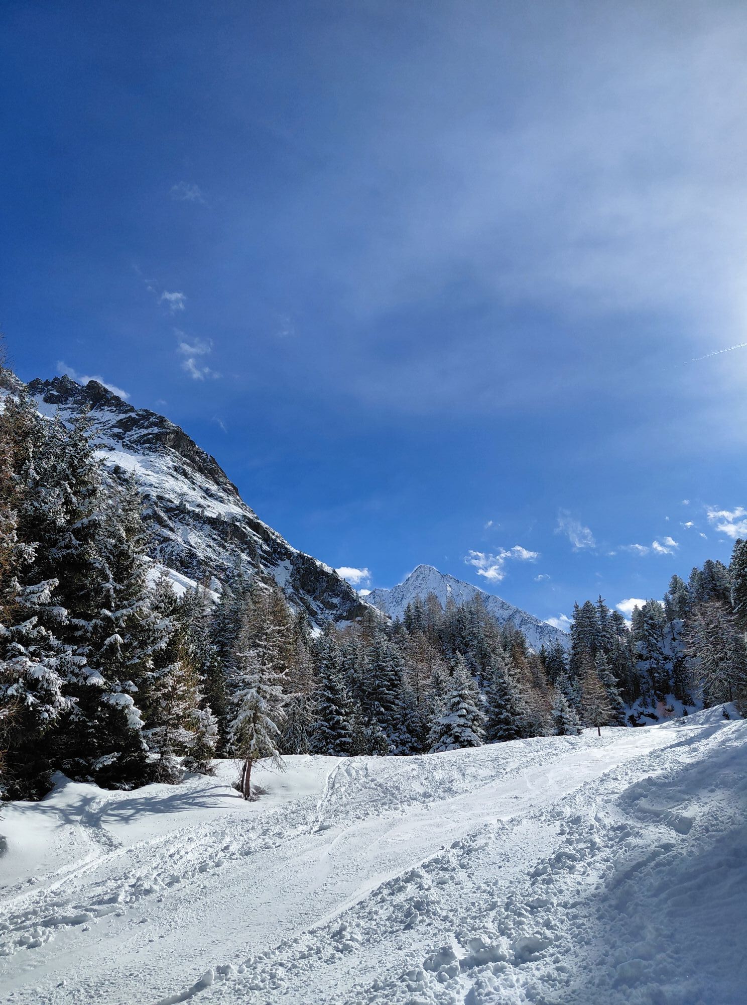
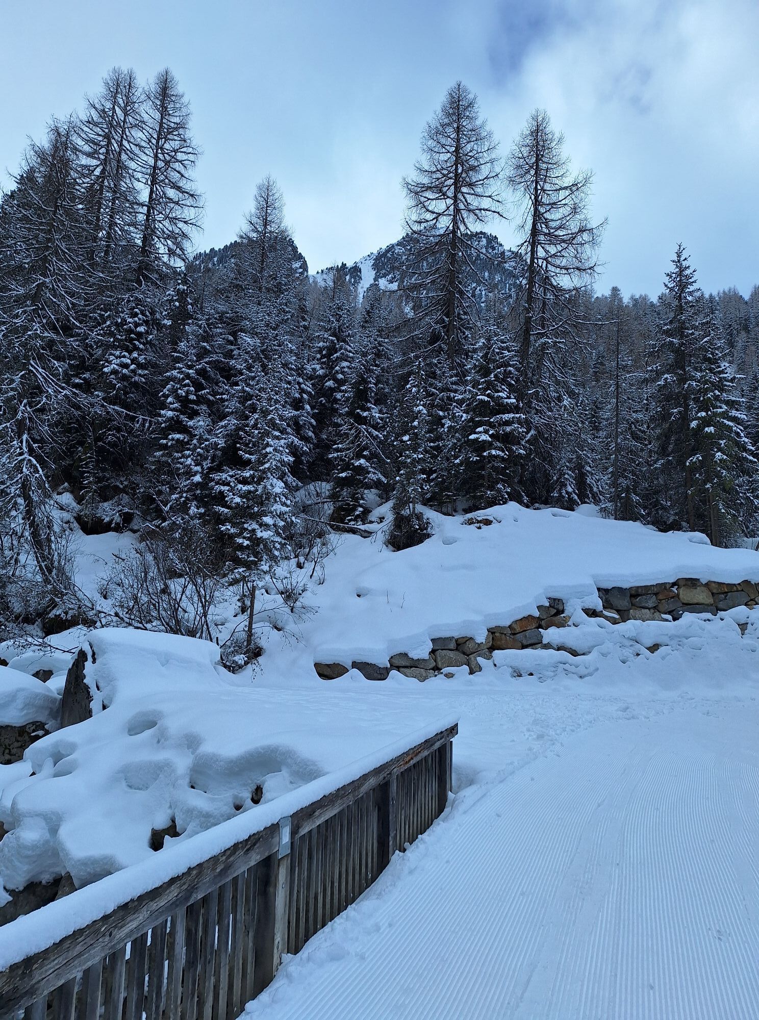


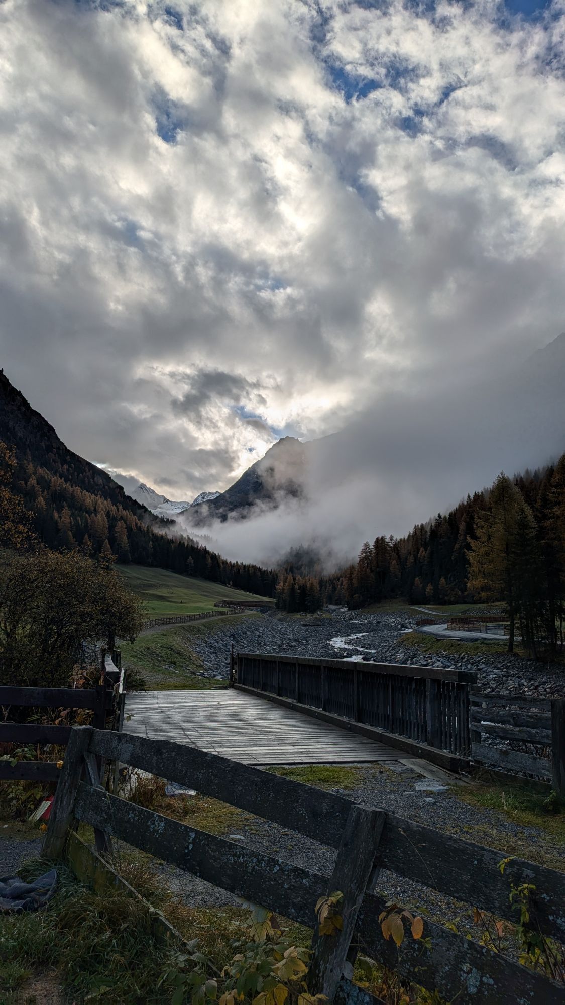
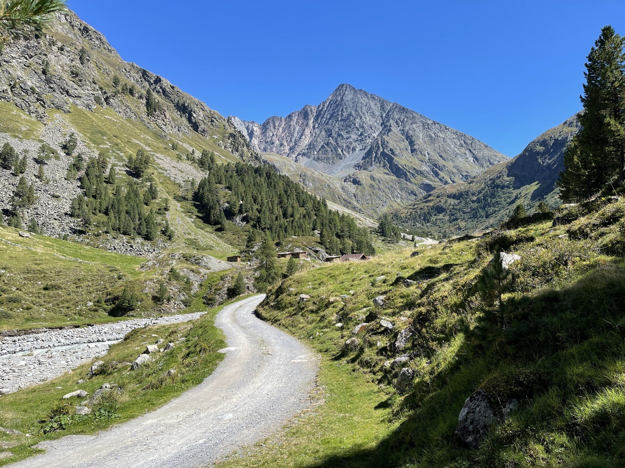
From the parking lot at the outskirts of Gries, the path leads almost flat through deep snowy meadows to the Vögelas bridge. From here, a clear incline becomes noticeable. After three more hairpin bends,...
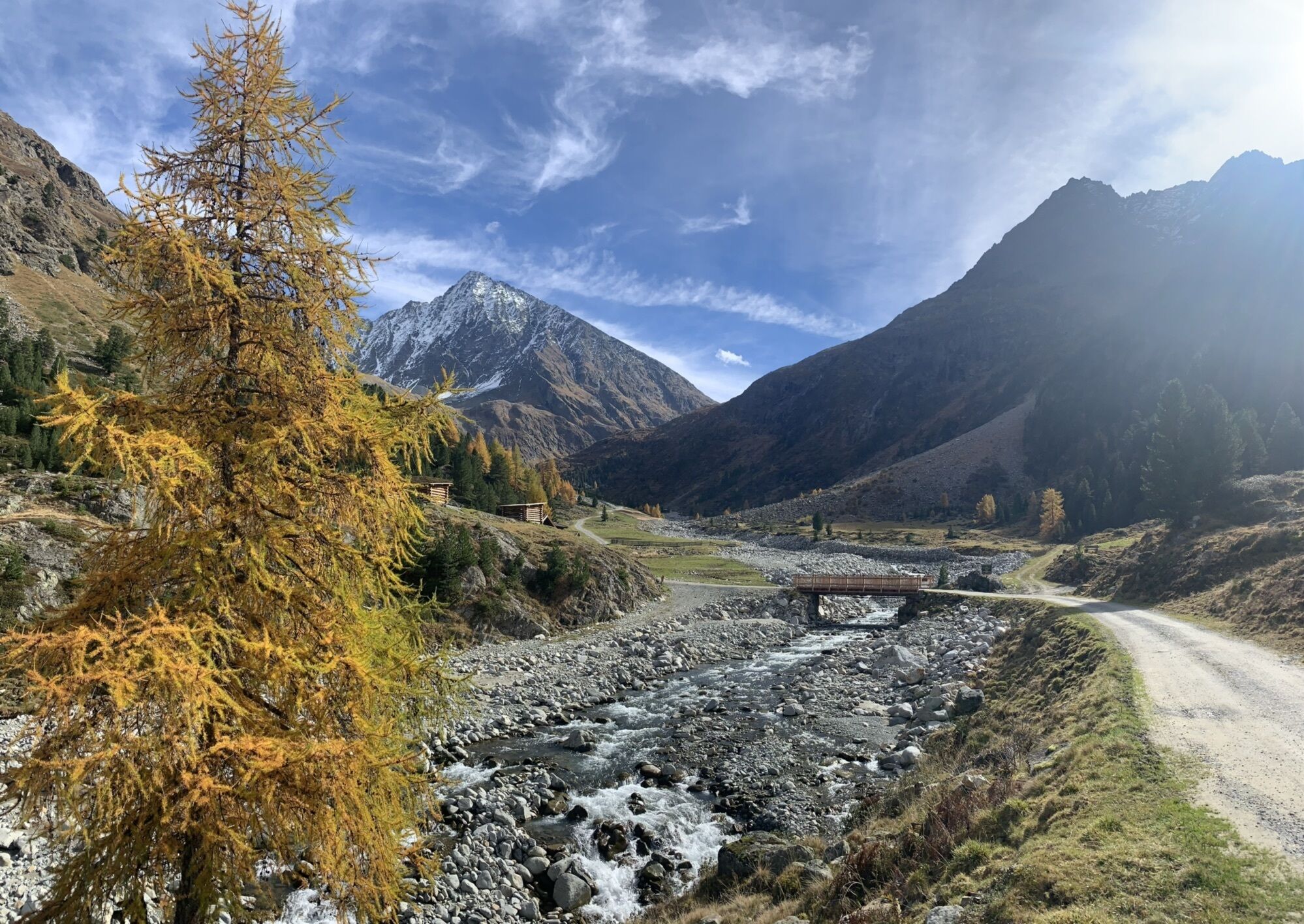
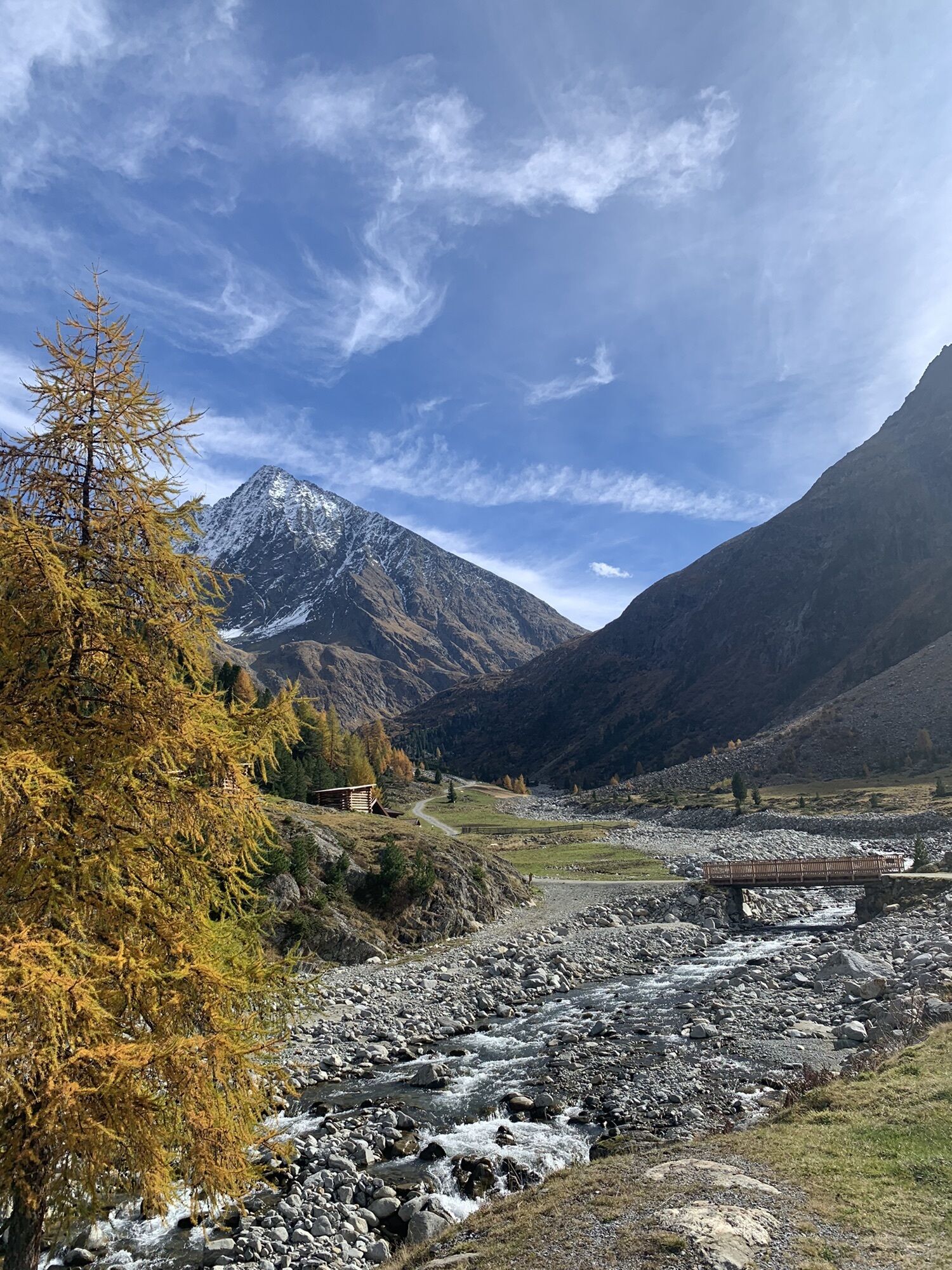
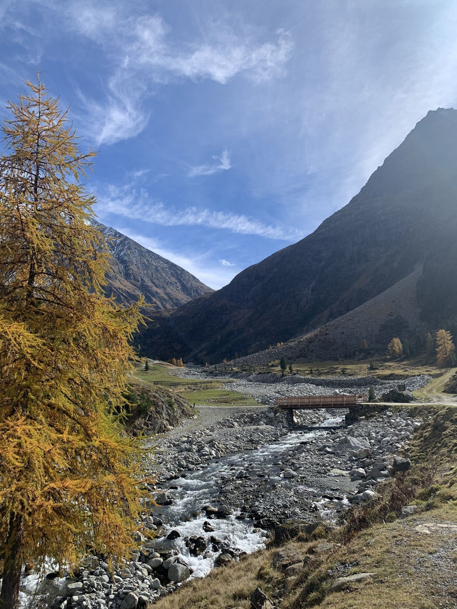
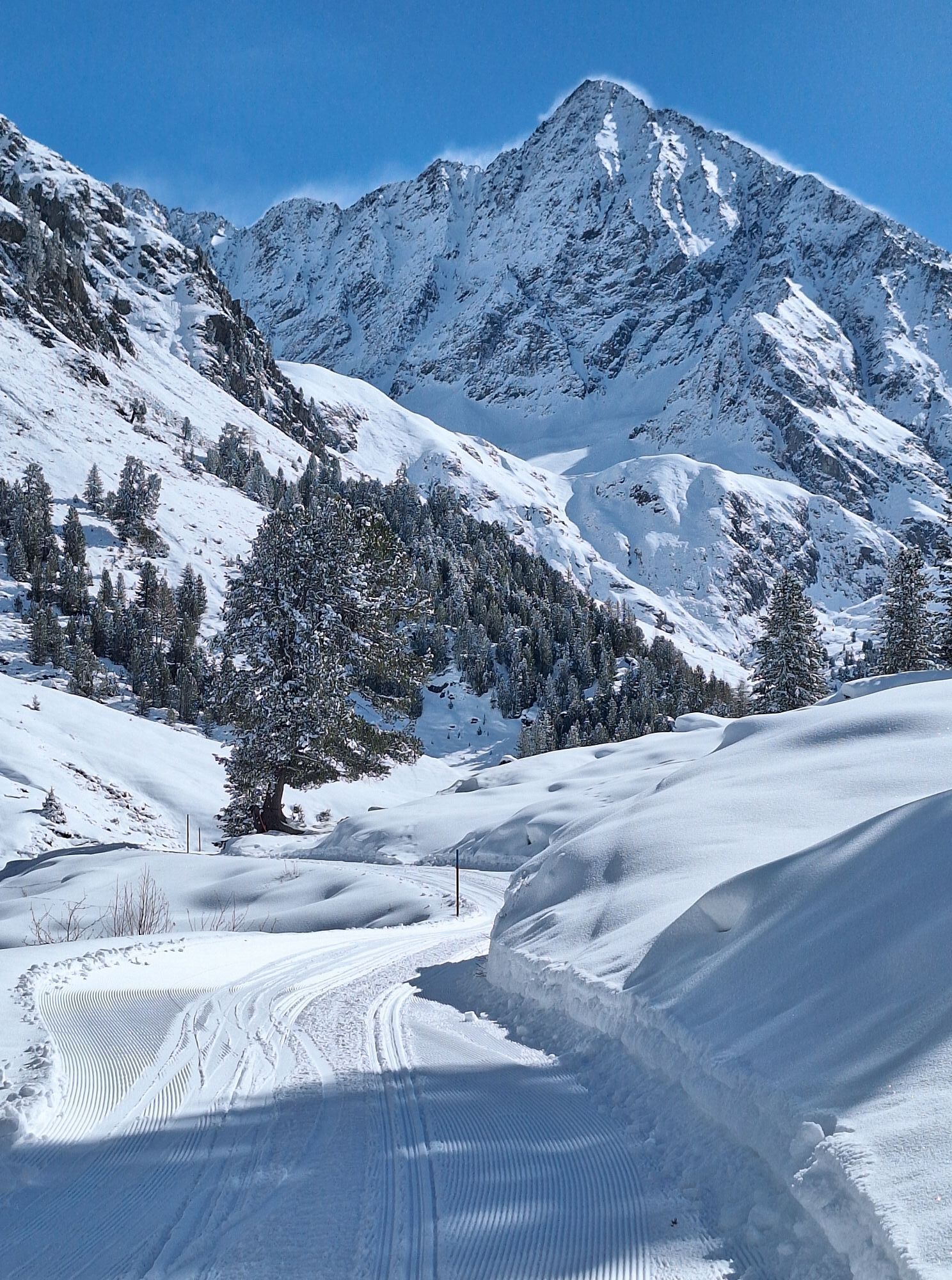
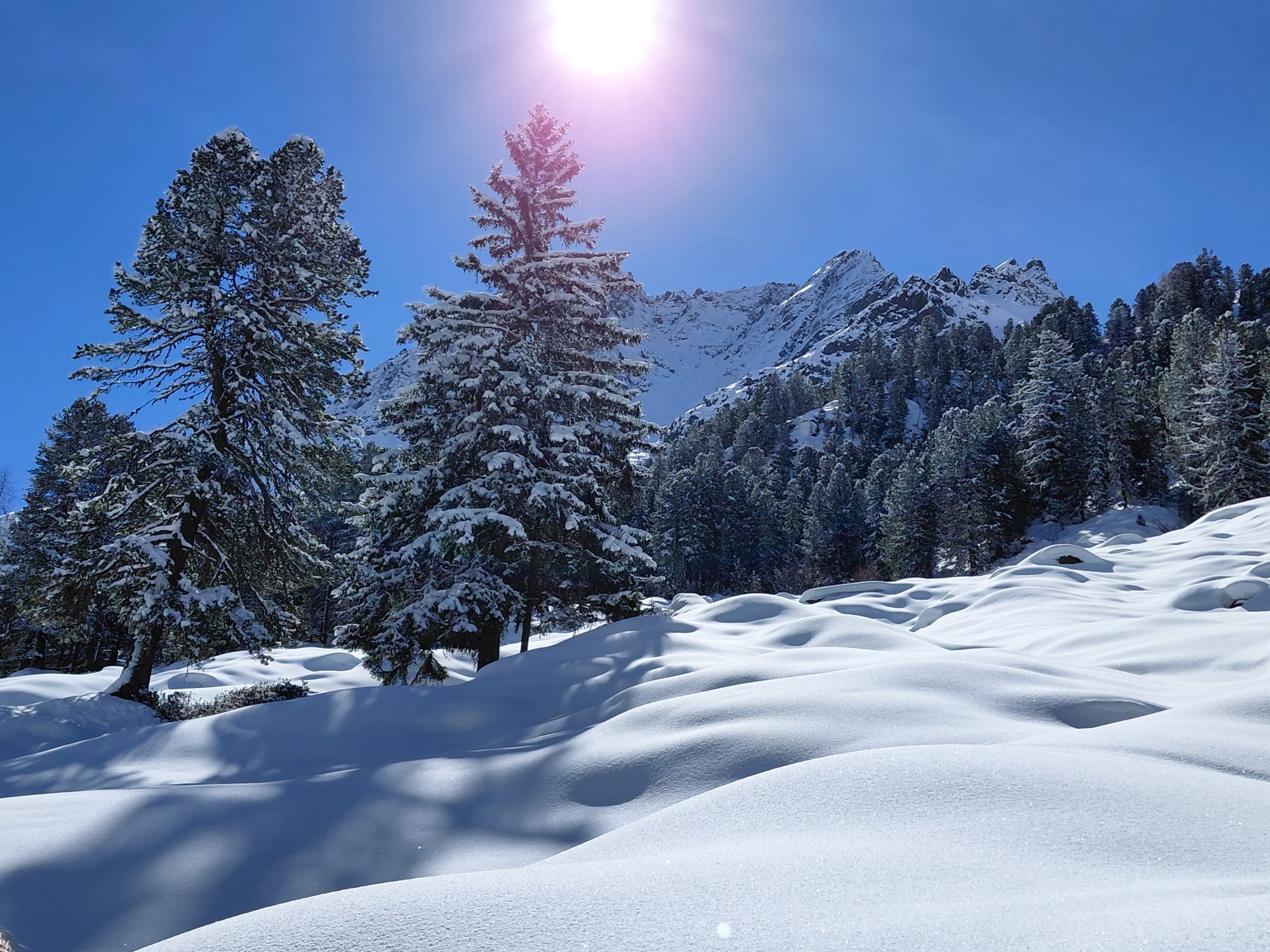
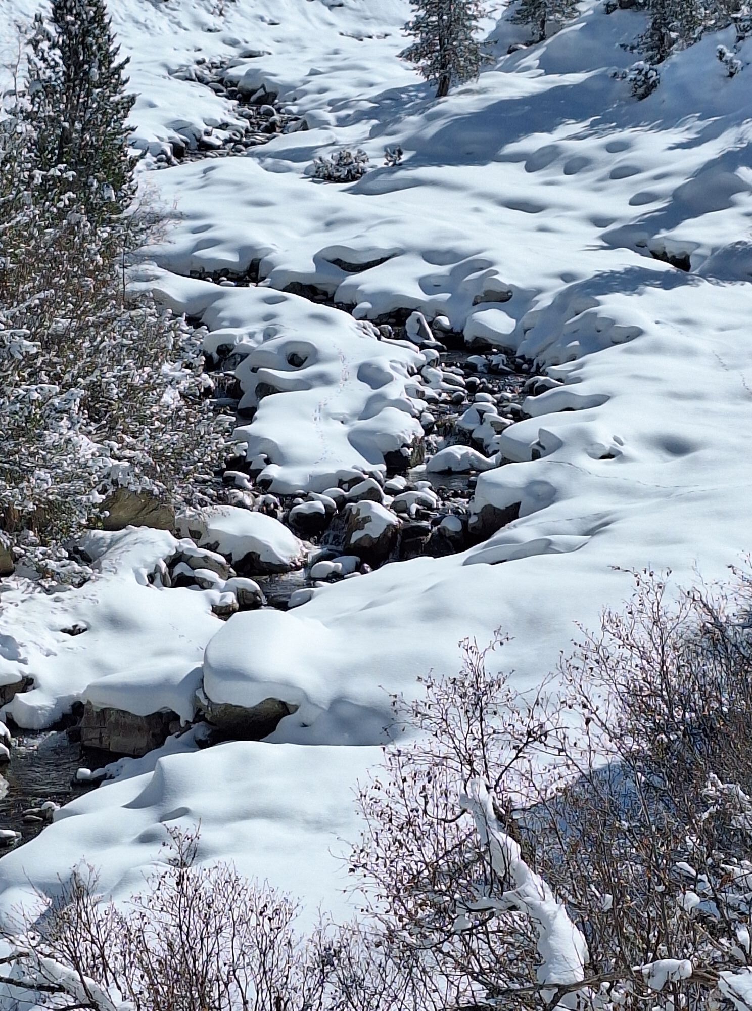
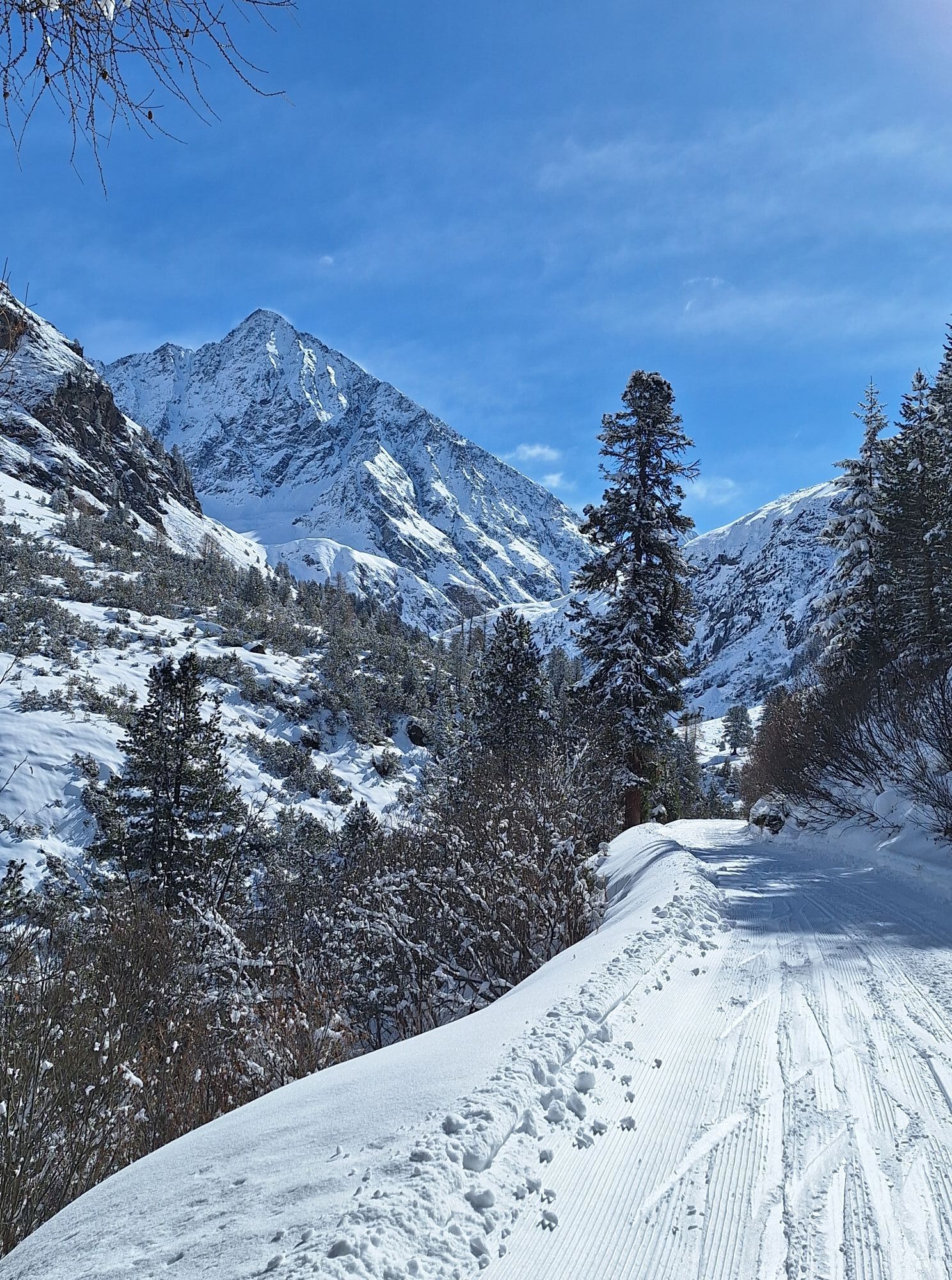
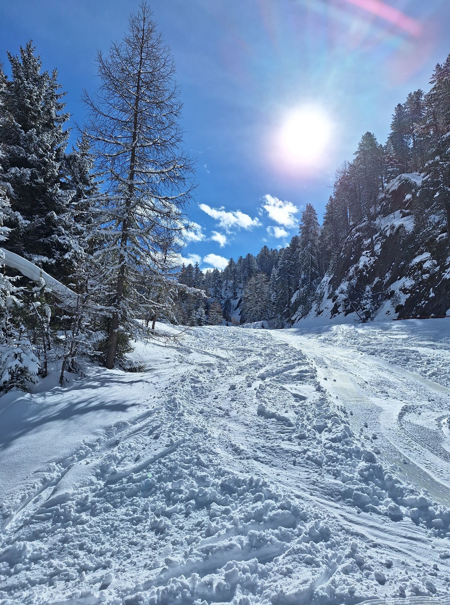
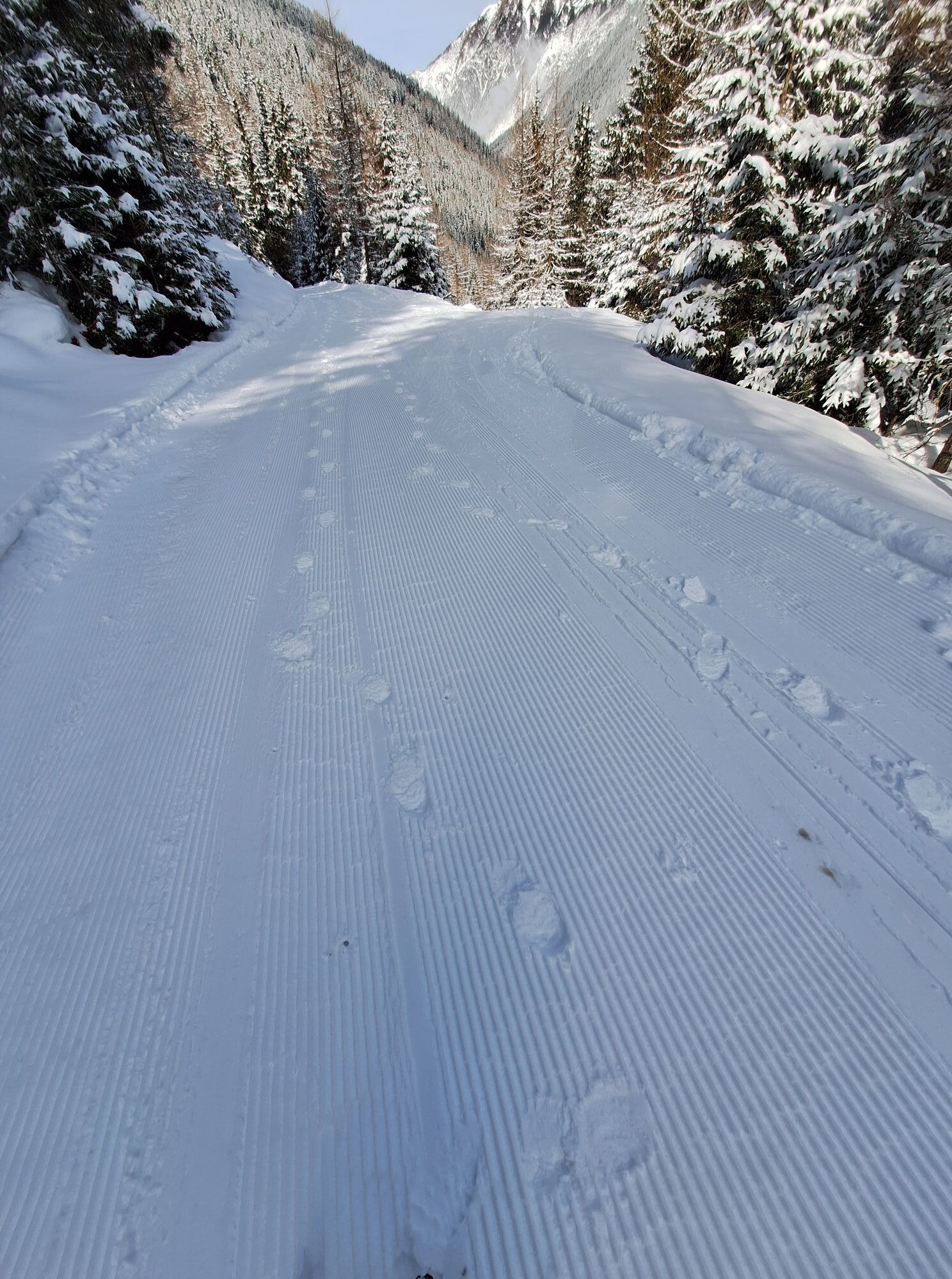
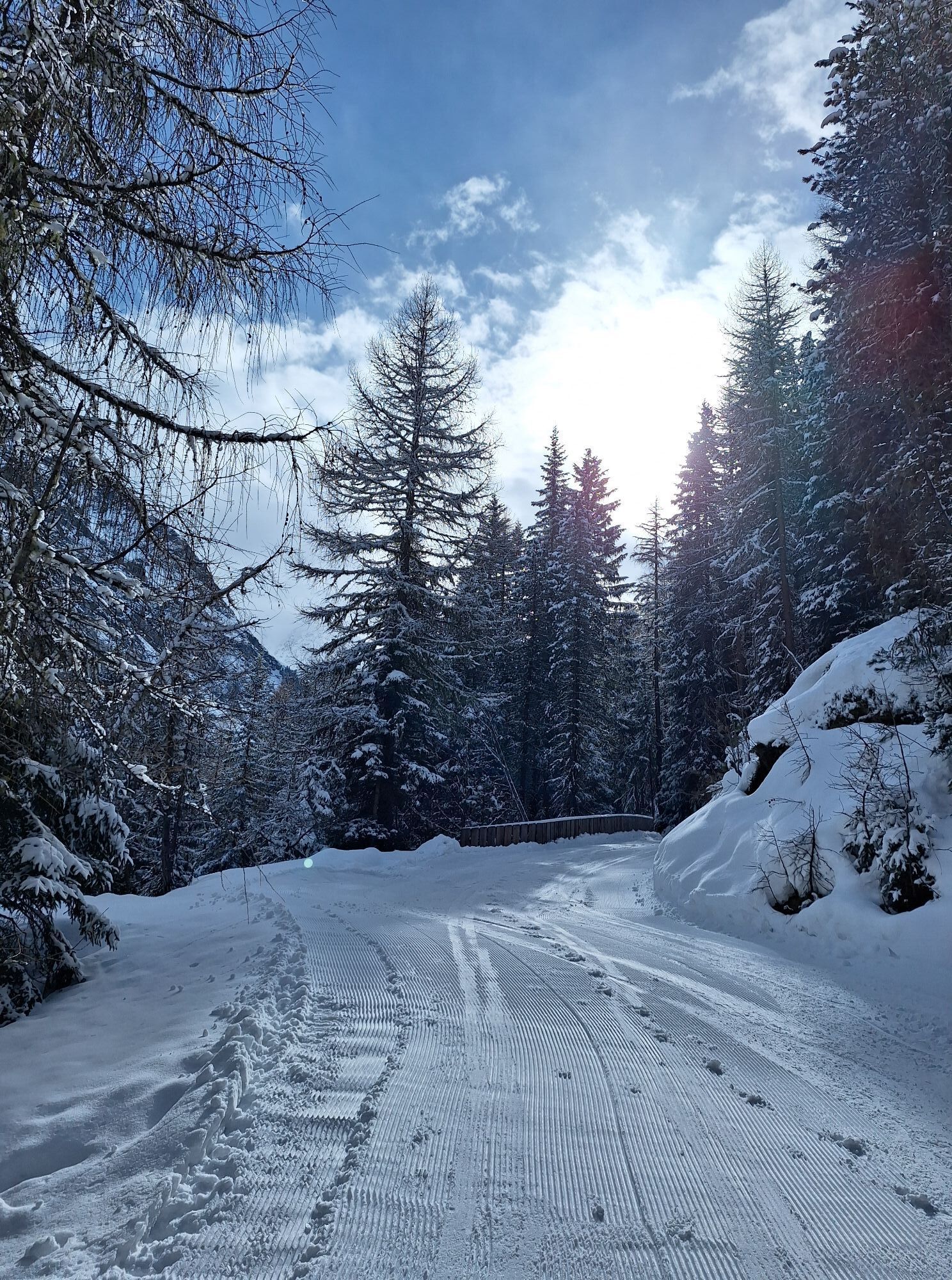
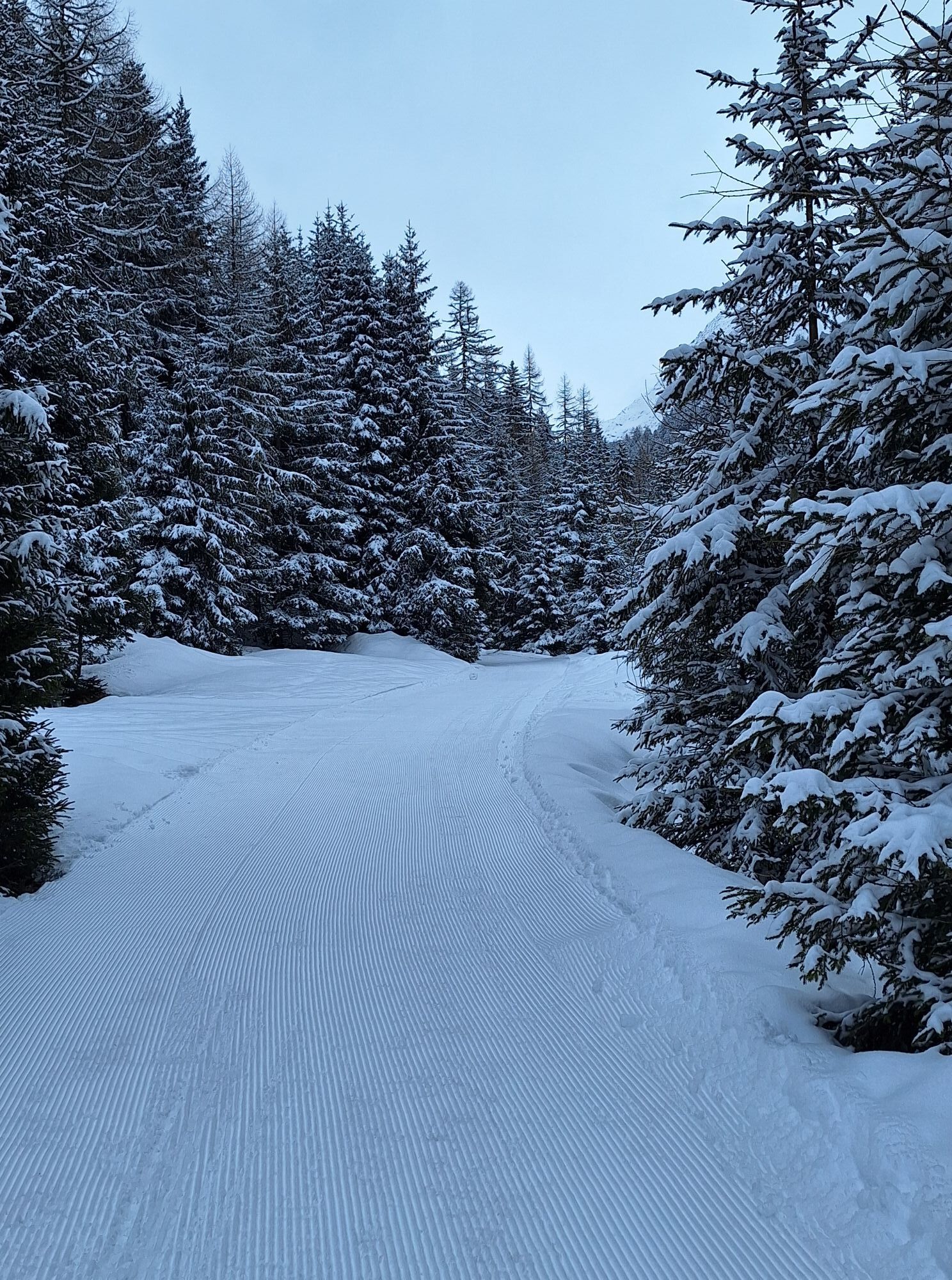
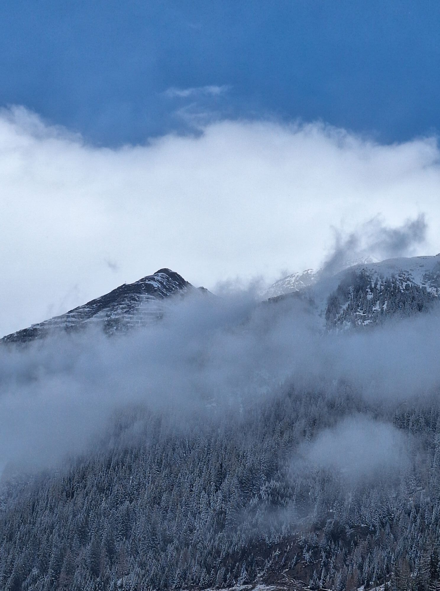
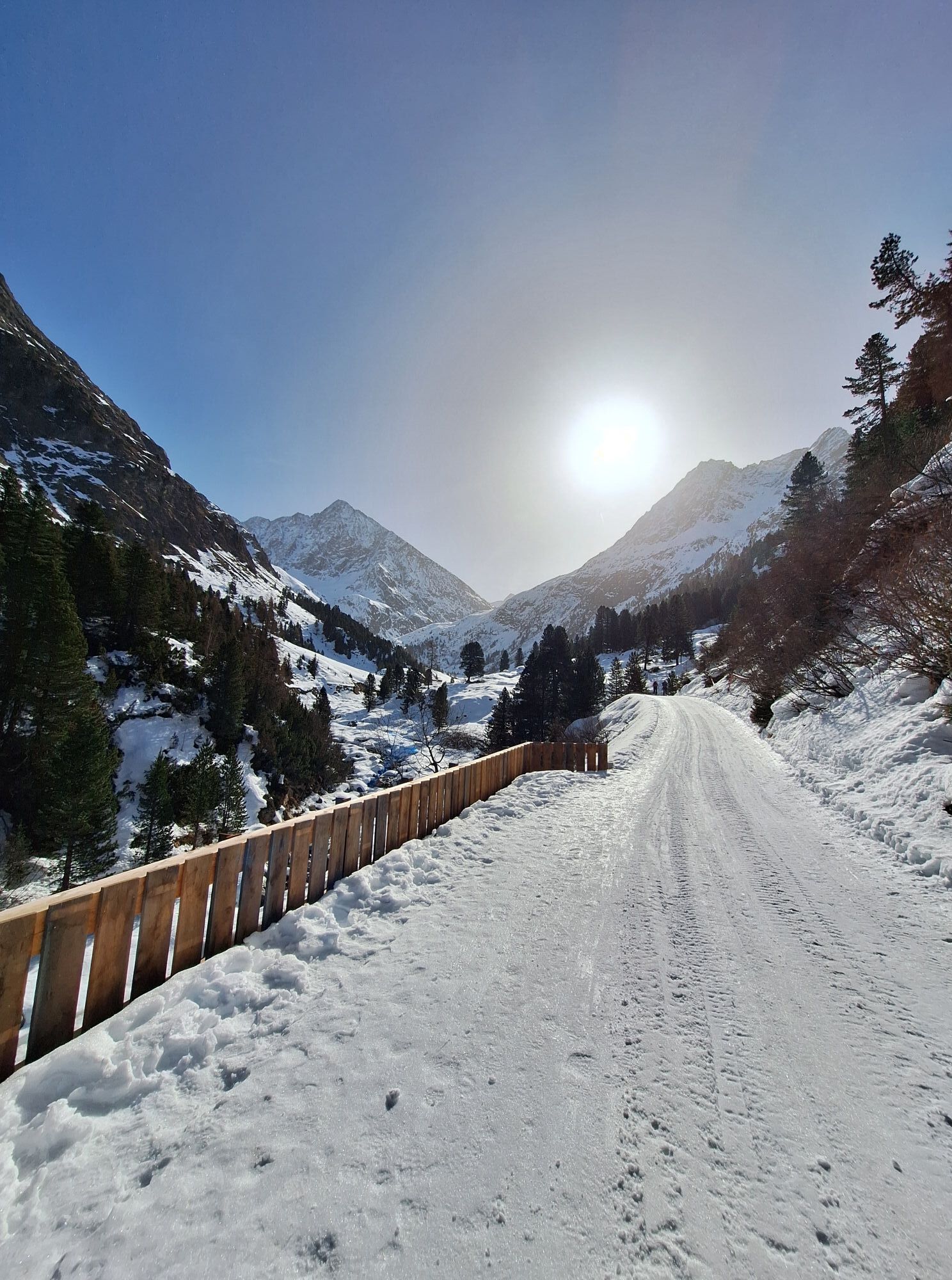
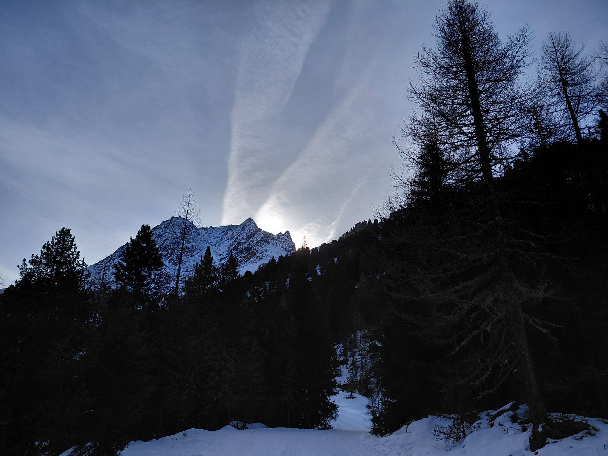
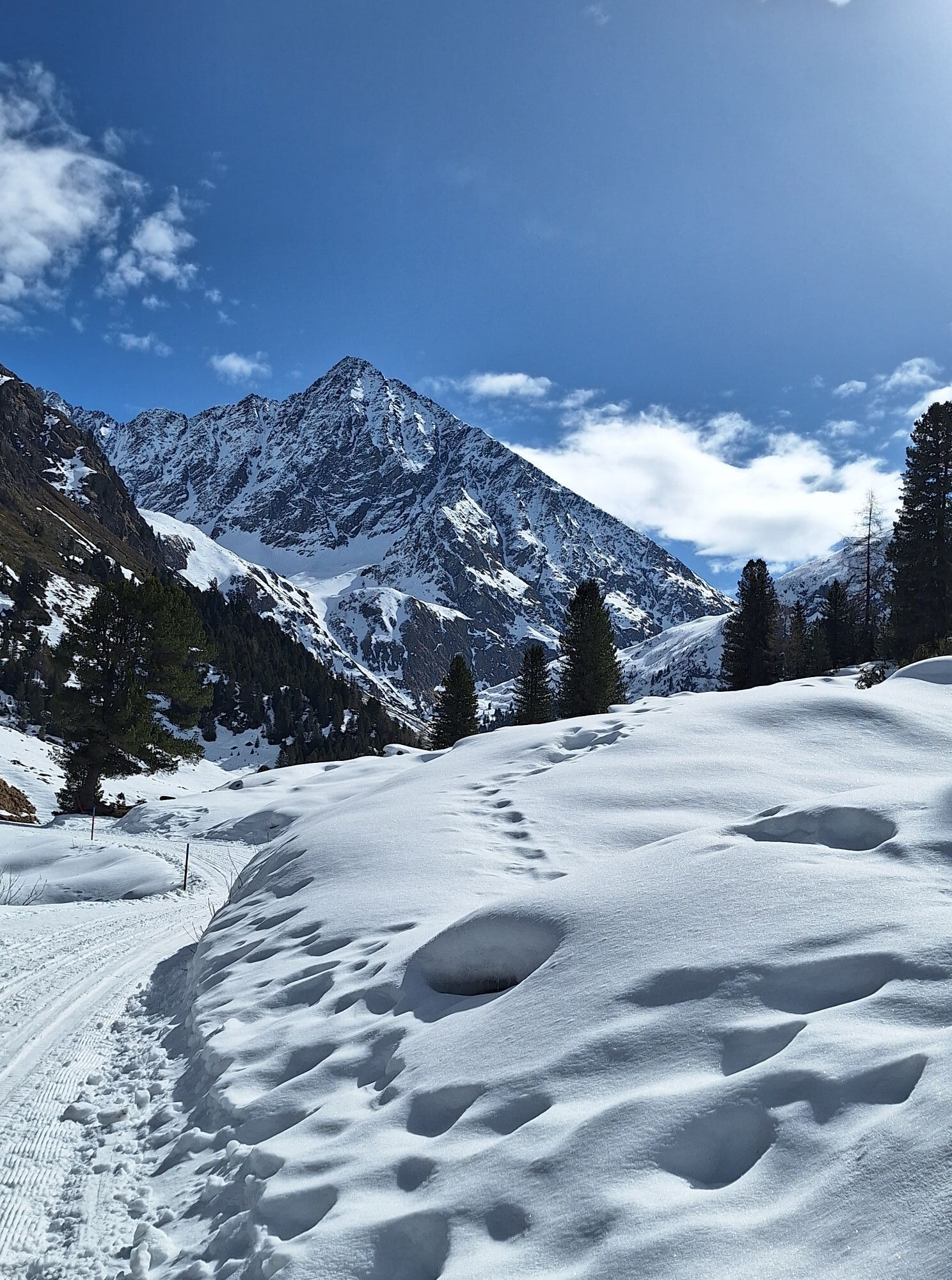
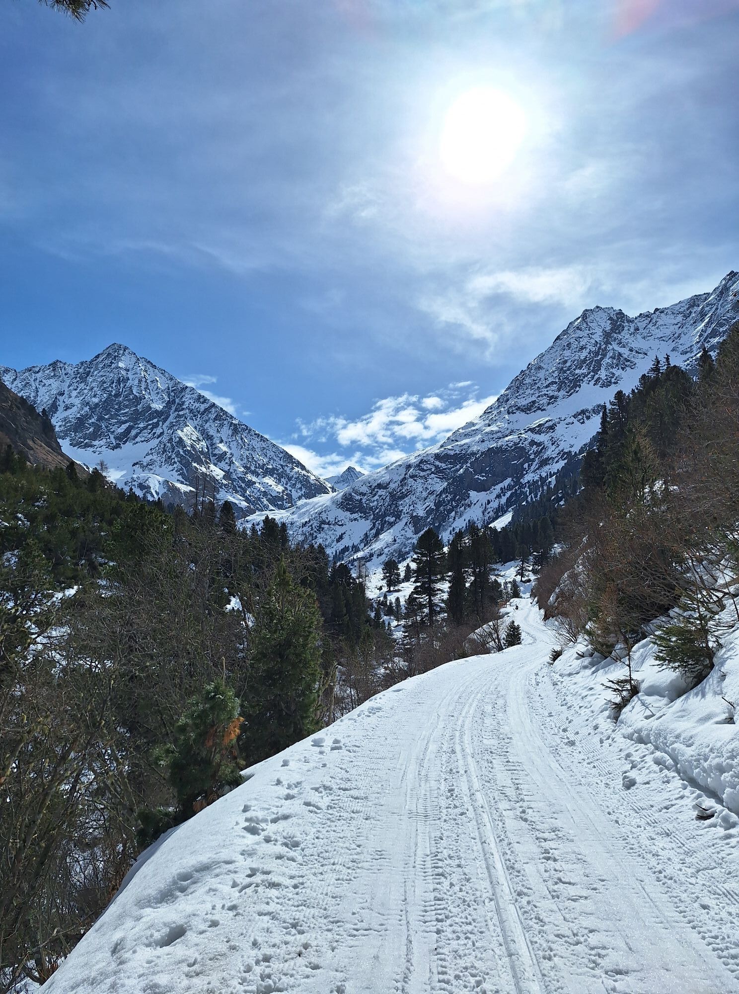
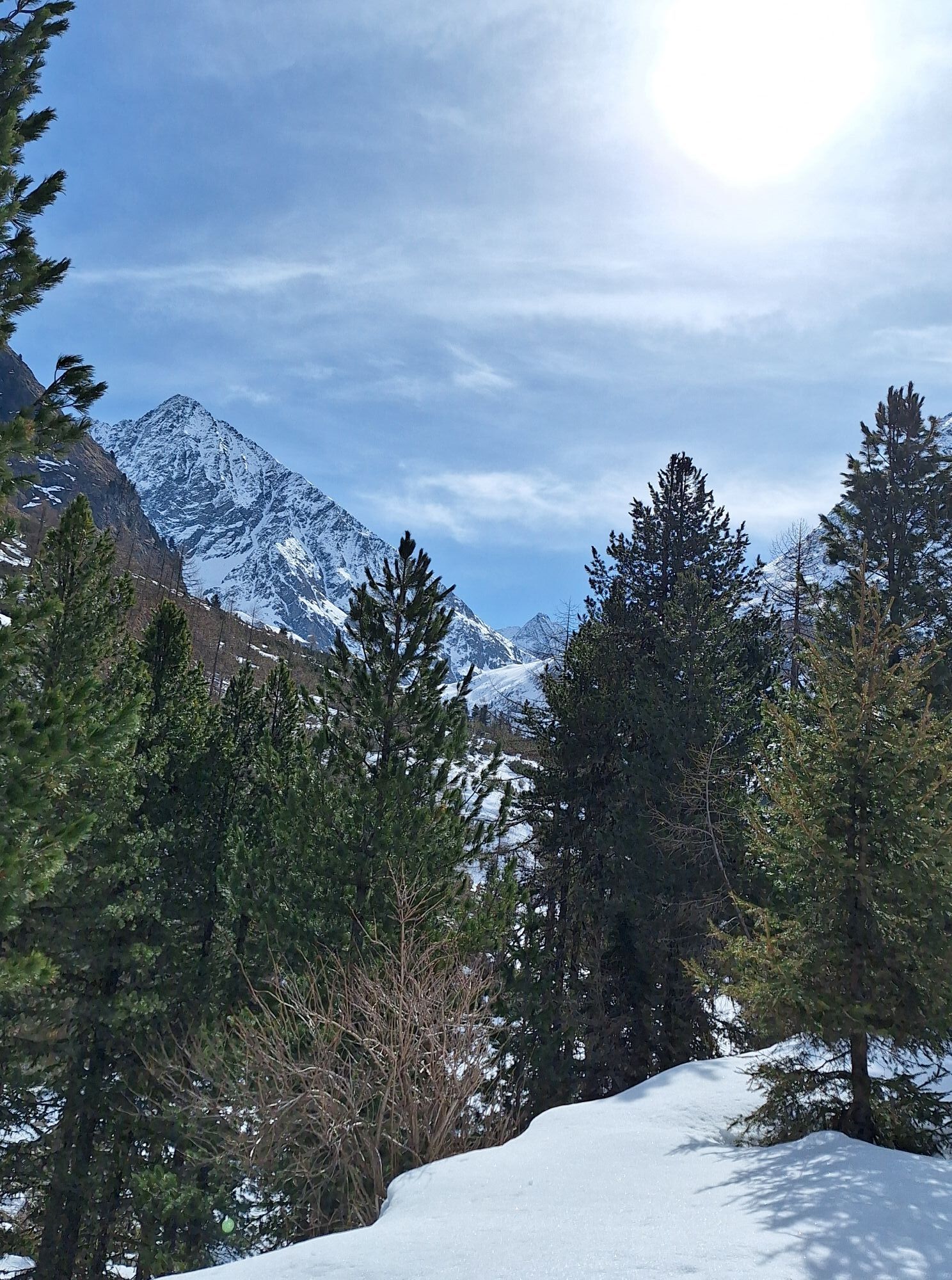
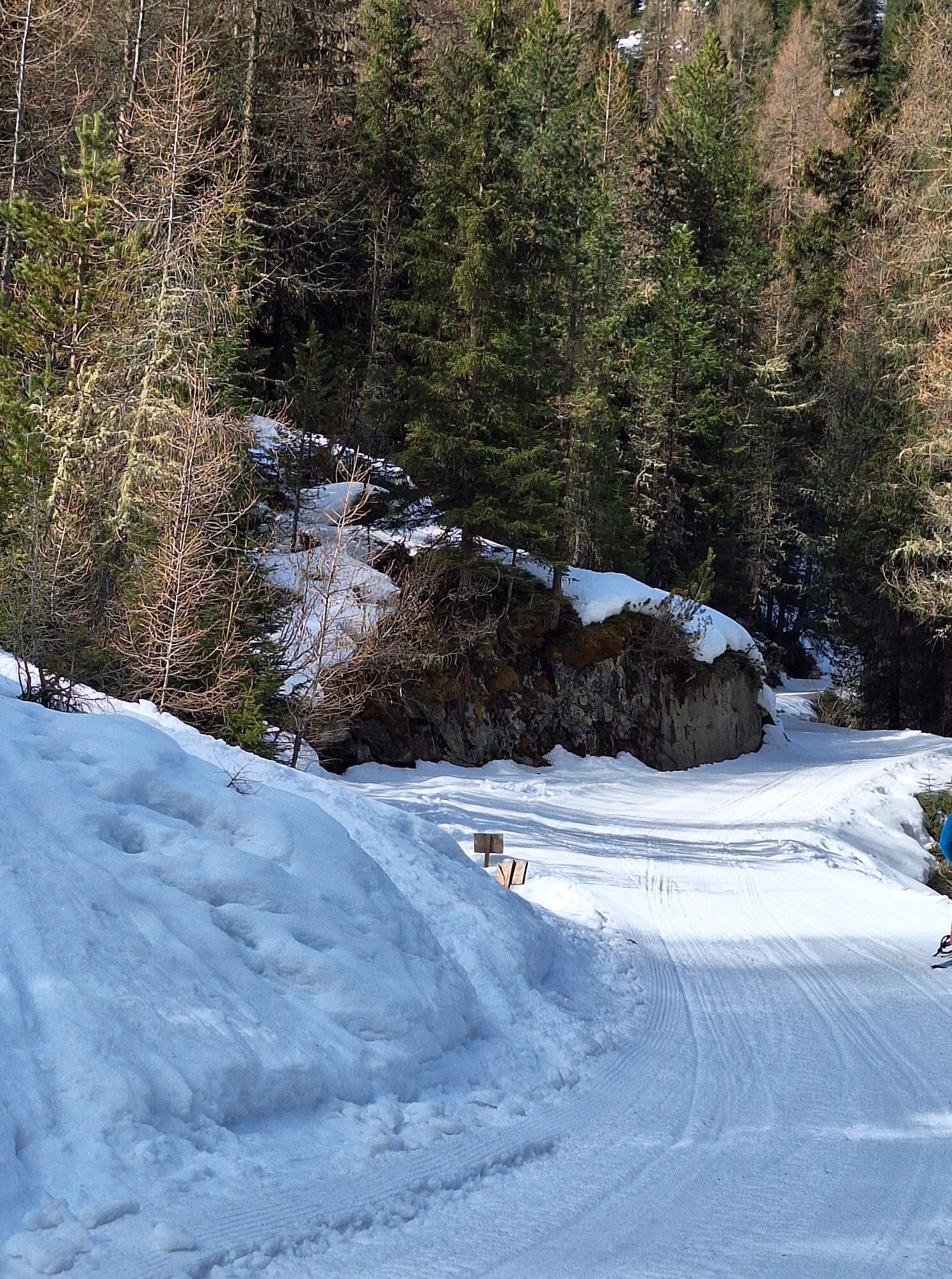
From the parking lot at the outskirts of Gries, the path leads almost flat through deep snowy meadows to the Vögelas bridge. From here, a clear incline becomes noticeable. After three more hairpin bends, follow the signs in the direction of Sulztalalm, leaving the junction to Nisslalm on the right. The Fischbach stream, which arises from several springs in the Sulze, as well as "the queen of the Alps," the stone pine, accompany you to the Sulztalalm.

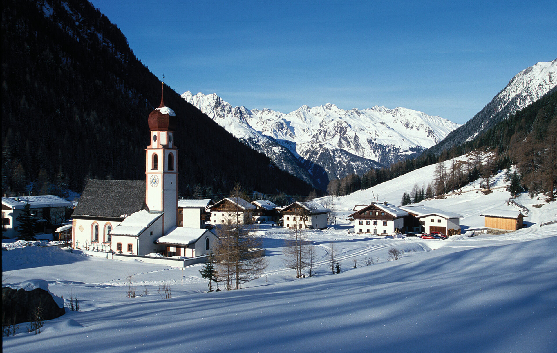
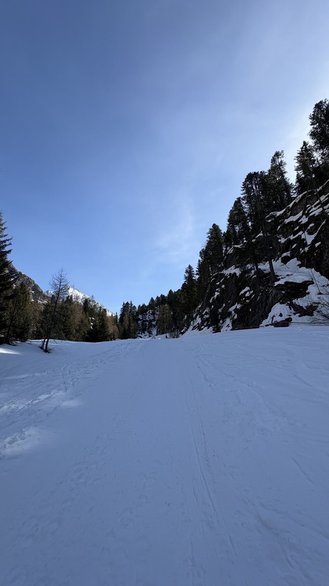
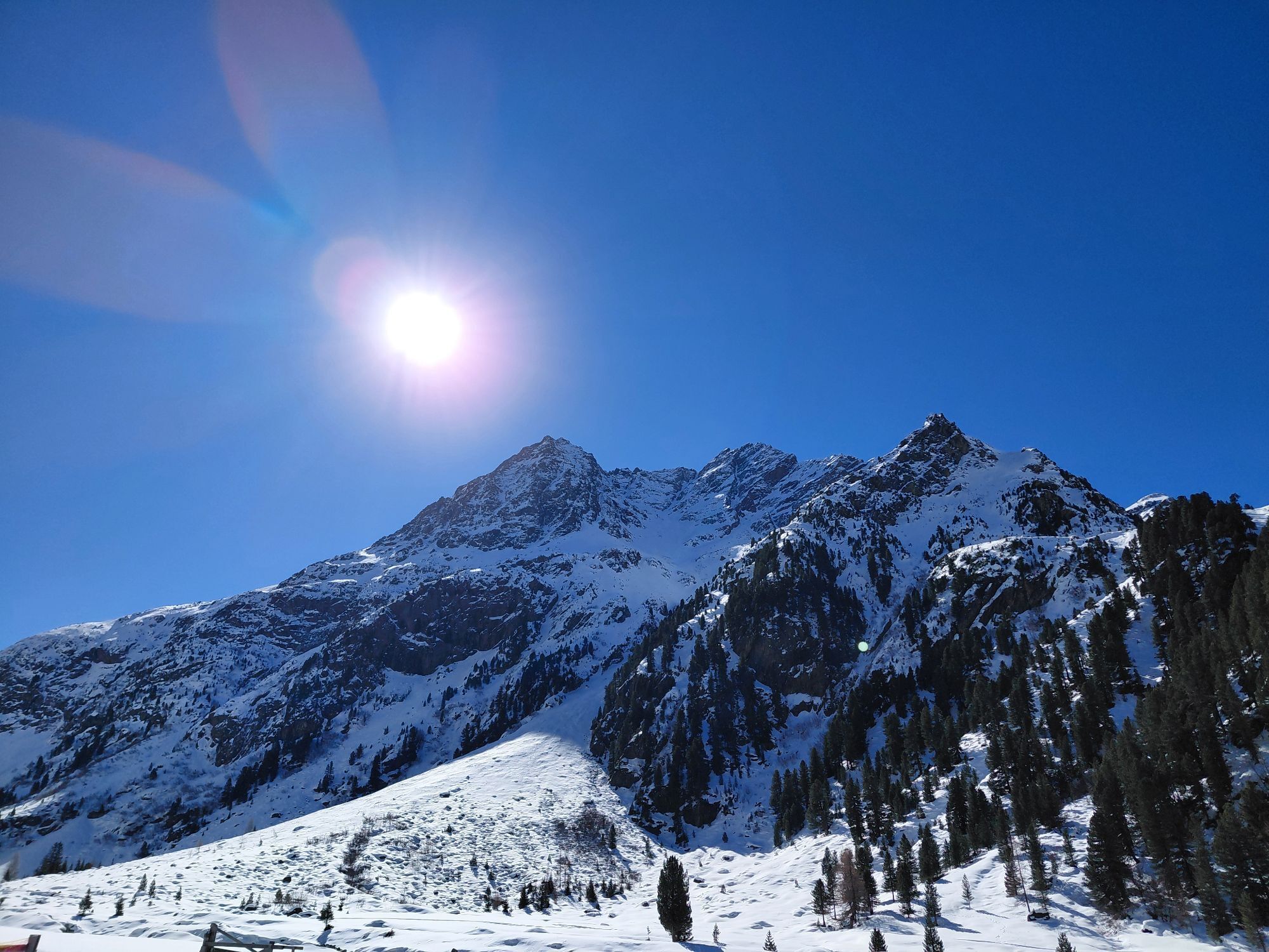
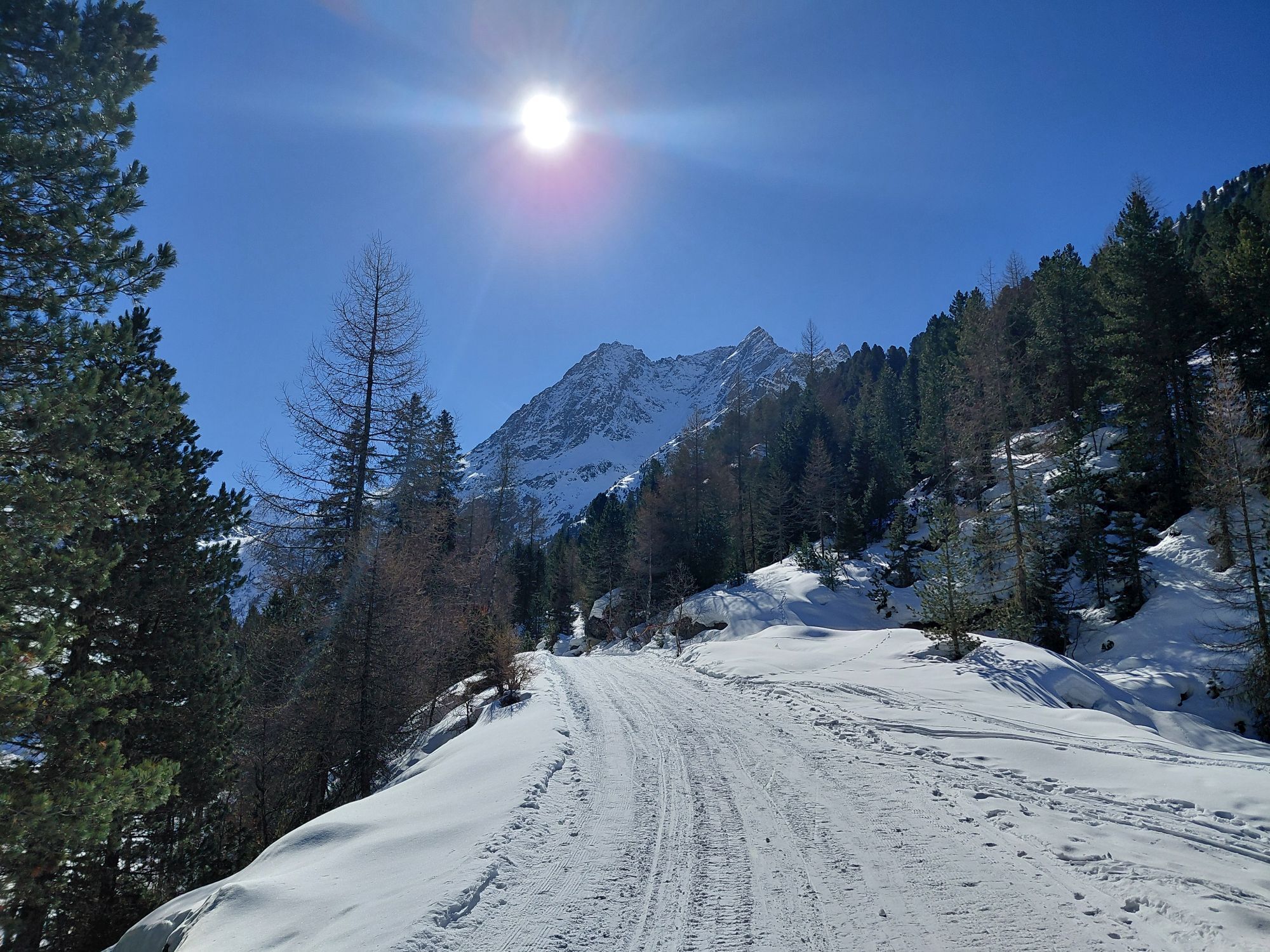
The path from the parking lot in Gries is very flat at the beginning. After the Vögelas bridge, it rises noticeably. Flat sections alternate with inclines.
Áno
Appropriate equipment like breathable and weather-adapted outdoor clothing is required for all hikes and routes.
Please note the current snow and avalanche situation report for the coming days: https://www.oetztal.com/en/ & https://lawinen.report/bulletin/latest
The Ötztal Tourism team will be happy to inform you personally about the condition of the winter hiking trails.
Ötztal Tourism T +43 5 72 00 300 - info@laengenfeld.com
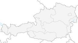
Driving to the ÖTZTAL
Traveling by car leads visitors through the Inn valley to the valley entrance and further along the Ötztal. In addition to the toll highway, country roads can also be used. You can quickly and conveniently plan your trip with the route planner. To the route planner: https://www.google.at/maps
Travel comfortably and safely by train. The final stop or exit point is the ÖTZTAL train station. Afterwards, you can travel conveniently and quickly by public transportation or local taxi companies through the entire valley to your desired destination. The current bus schedule is available at: http://fahrplan.vvt.at
The following parking options are available:
At the outskirts of Gries - paid parking
More information about winter hiking in the Ötztal:
https://www.oetztal.com/winterwandern
The ascent path is also the toboggan run. Take advantage of the opportunity - rent a sled from the hut host and ride back to Gries.
Webové kamery z prehliadky


Obľúbené výlety v okolí
-
4,5
Winnebachsee Hut – Längenfeld/Gries
strednáTuristika 4,74 km -
4,8
Wilde Wasser Weg - Fortgeschritten
strednáTuristika 12,0 km -
4,4
Rundwanderung Hängebrück3
svetloTuristika 6,32 km -
4,7
Winter circular route Brandalm/Burgstein - Längenfeld 204
strednáZimná turistika 5,44 km -
4,3
Lampsenspitze, Sellrain, Tirol
strednáSkitour 4,97 km -
4,3
Amberger Hut - Längenfeld/Gries
strednáTuristika 5,60 km -
4,6
Umhausen - Stuibenfall - Umhausen
strednáTuristika 7,94 km -
5,0
Dresdner hütte - sulzenauerhütte
strednáTuristika 12,1 km -
4,7
Circular hike Bergmahderweg - Niederthai
svetloTuristika 7,60 km -
4,1
Hohe Geige über Gawinden und den Westgrat
ťažkéTuristika 14,3 km
Turistika a stopovanie


Nenechajte si ujsť ponuky a inšpiráciu na ďalšiu dovolenku
Vaša e-mailová adresa bol pridaný do poštového zoznamu.