



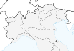


Ledro Alps Trek Alpiedi - Leg 5: from Bivacco Campel to Storo
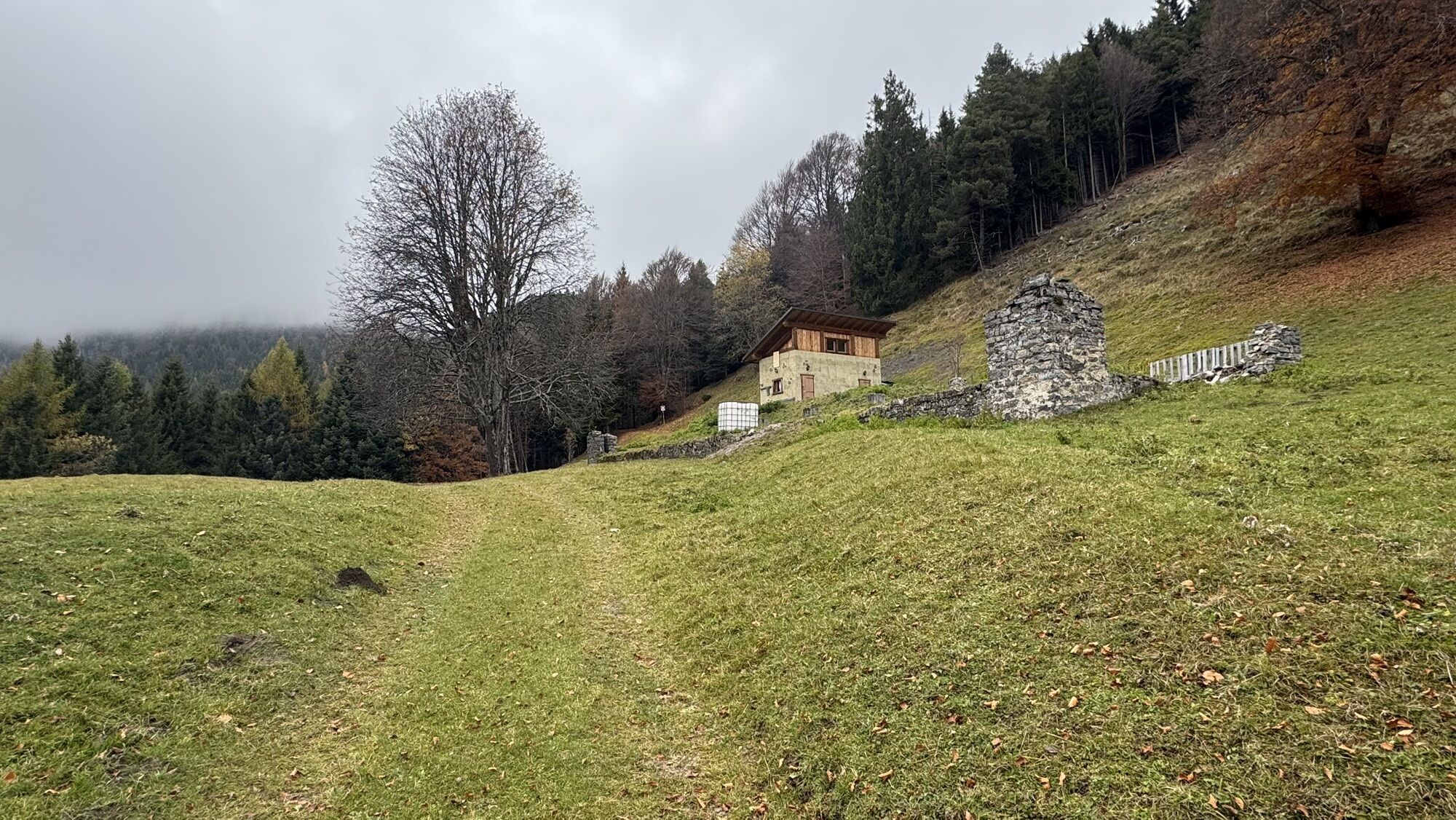
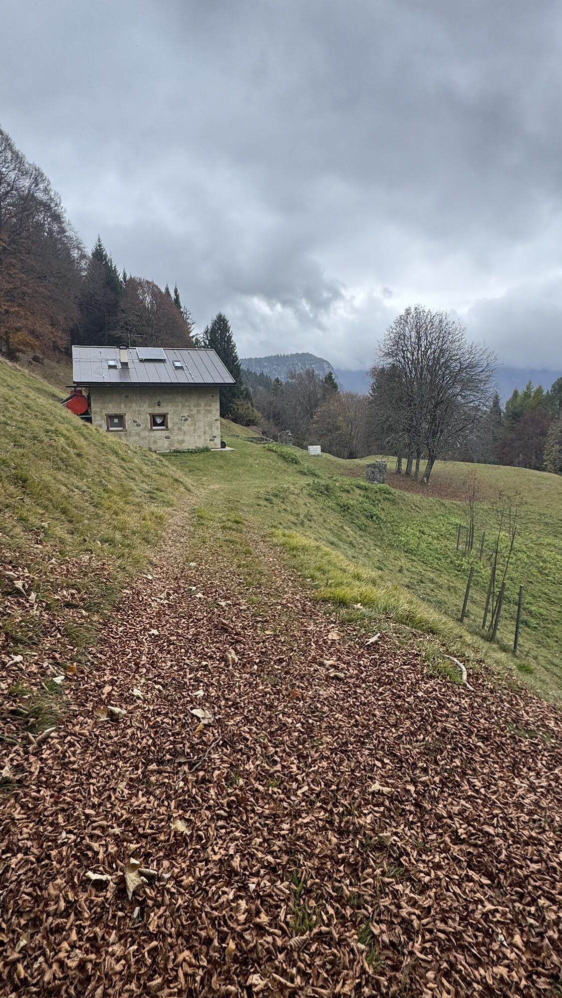
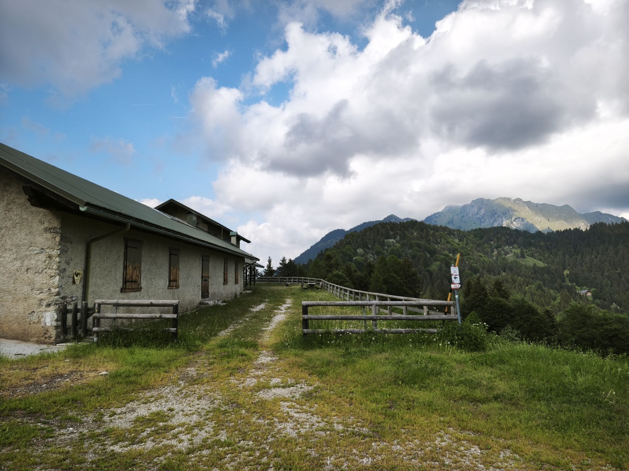
The eye sweeps from Lake Ledro to Lake Idro and the Valle del Chiese, the final destination.

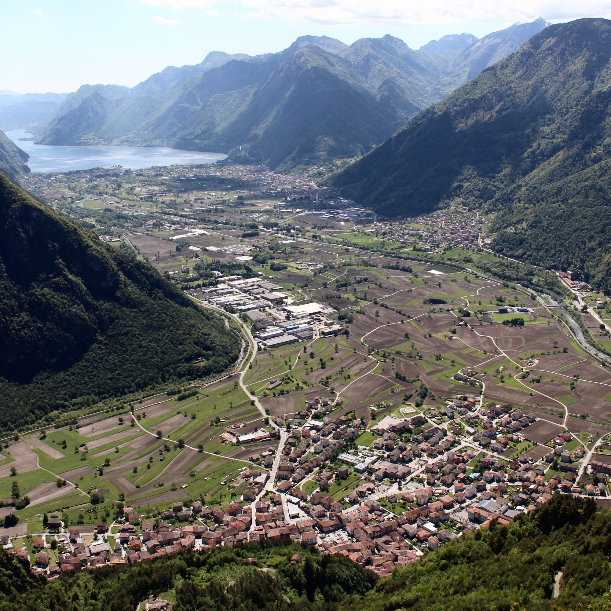
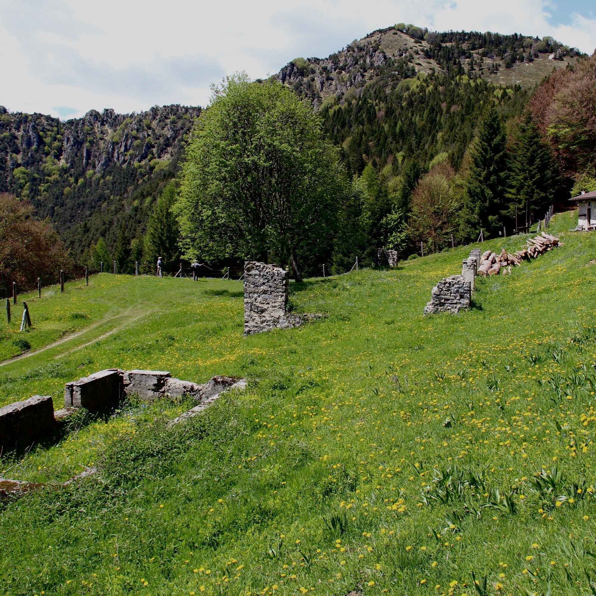
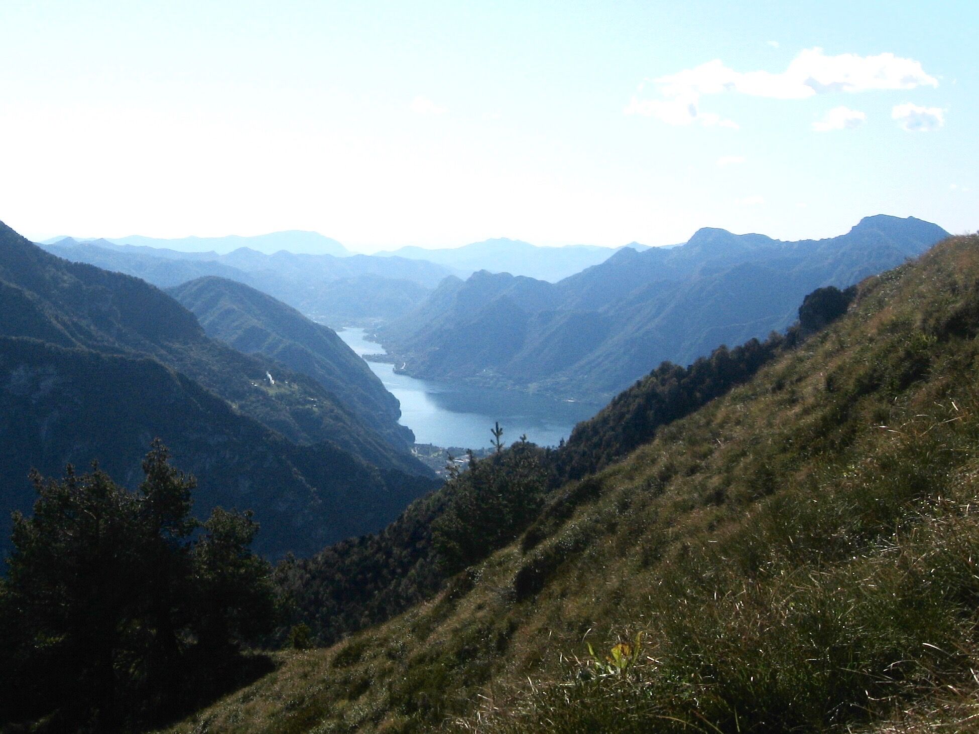
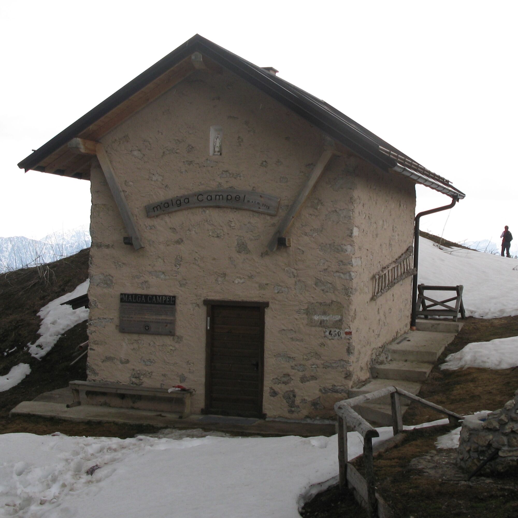
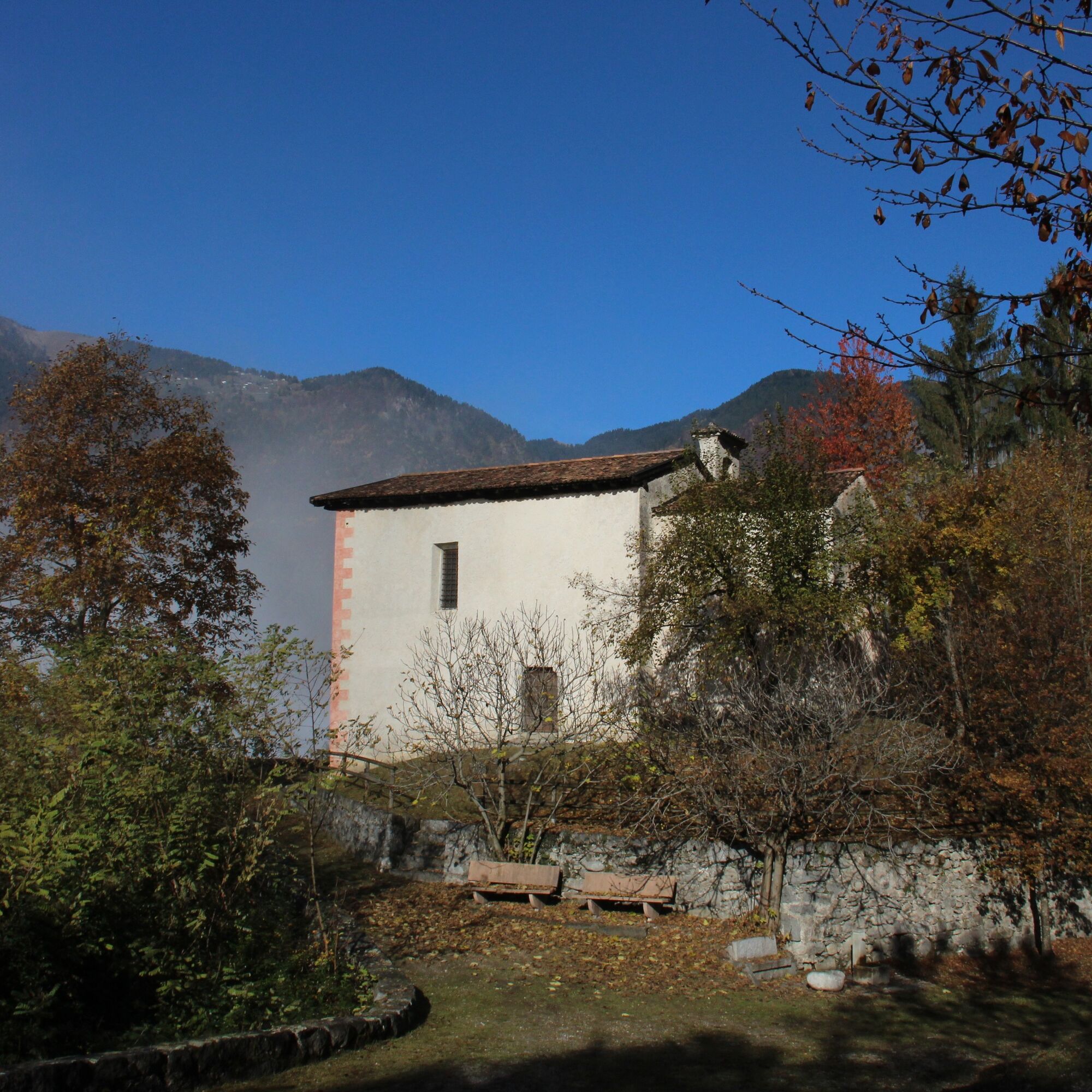

Take the SAT 450 path from Bivacco Campel towards Passo Rango. Particular attention is required as there are several possible alternative routes leading down to Valle di Ledro and Valle del Chiese. Follow the SAT 458 path from Passo Rango and turn into the SAT 467 path on the slopes of Monte Stigolo. The SAT 467 path leads down to Storo.
Áno
Áno
You need to wear the right clothing and take the proper gear when you go hiking in the mountains. Even on relatively short easy outings make sure to take all you need so you don't run into trouble if things take an unexpected turn, for example a storm blows up or you have a sudden drop in energy levels.
What should you take when you go on a hike?
Your rucksack (for a day trip a 25/30L capacity should do) should contain:
water canteen (1L) snacks (e.g. mixed dried fruit or chocolate) First aid kit windproof jacket fleece change of t-shirt and socks (in a plastic bag) make sure to wear or at least bring a pair of long trousers hat sun screen sunglasses gloves whistle to attract attention in an emergencyMake sure you're wearing the right footwear for the trail and season. The going can get rough and rocky underfoot and a pair of hiking boots will protect you from sprains. When wet, a grassy slope, rocky slab or steep trail can be dangerous unless you are wearing the proper footwear.
And finally... don't forget to bring your camera! You'll need it to capture the stunning views you come across all over Garda Trentino. And if you like, you can share your memories with us at #GardaTrentino.
Emergency telephone number 112.
Safety Tips
Choose itineraries that suit your physical and technical abilities. Collect information about the area you are visiting and the trail’s conditions and get a detailed trekking map. Wear clothes and take equipment that suit the difficulty and length of your tour. Keep emergency gear in your rucksack, including first aid supplies. Do not go walking alone in the mountains. In any case, tell someone where you are going and report back on returning. Look at the weather forecast before setting off and always keep an eye on the weather. In case of doubt, go back. It is better to give up than risk bad weather or face difficulties beyond your strength, ability and equipment. Do not leave marked paths and do not take shortcuts. All described walks are in a natural environment and therefore their use is at your own risk.This information is subject to inevitable variations, so none of these indications are absolute. It is not entirely possible to avoid giving inexact or imprecise information, given how quickly environmental and weather conditions can change. For this reason, we decline any responsibility for changes which the user may encounter. In any case, it is advisable to check environment and weather conditions before setting out.
Given the distance from the valley floor, it is best to get to the bivouac one day early and stay the night (Alpiedi - Leg 4).
Find out how to reach Garda Trentino.
Valle di Ledro is connected to Riva del Garda by the intercity bus line 214 (Riva-Valle di Ledro-Storo).
If you start from Valle di Ledro, parking in Piazza San Giovanni Bosco in Tiarno di Sotto, in front of the church.
For more information on routes, services (guides, mountain huts, shops etc.) and hiking friendly accommodation: - +39 0464 554444
Obľúbené výlety v okolí
-
4,8
Bocca Fortini - Tour
ťažkéMountainbike 35,4 km -
4,5
Walking around Lake Ledro
svetloTuristika 9,40 km -
4,4
Tremalzo Big - Tour
ťažkéMountainbike 45,6 km -
4,7
Tremalzo Garda XXL - Tour
ťažkéMountainbike 66,6 km -
5,0
From Lake Garda to Lake Ledro via Ponale
ťažkéMountainbike 33,4 km -
4,8
Dalco
ťažkéTuristika 8,77 km -
4,6
Torbole, Ponale, Ledrosee, Pregasina, Torbole
strednáE-MTB 47,7 km -
4,7
Dromaé - Cima d'Oro
strednáTuristika 11,7 km -
5,0
Bocca Trat - Cima Parì
strednáTuristika 9,77 km -
4,4
Monte Censo
strednáTuristika 6,55 km
Turistika a stopovanie


Nenechajte si ujsť ponuky a inšpiráciu na ďalšiu dovolenku
Vaša e-mailová adresa bol pridaný do poštového zoznamu.





