







Stage 4 Dolomiti Trek King - At the foot of Sassolungo

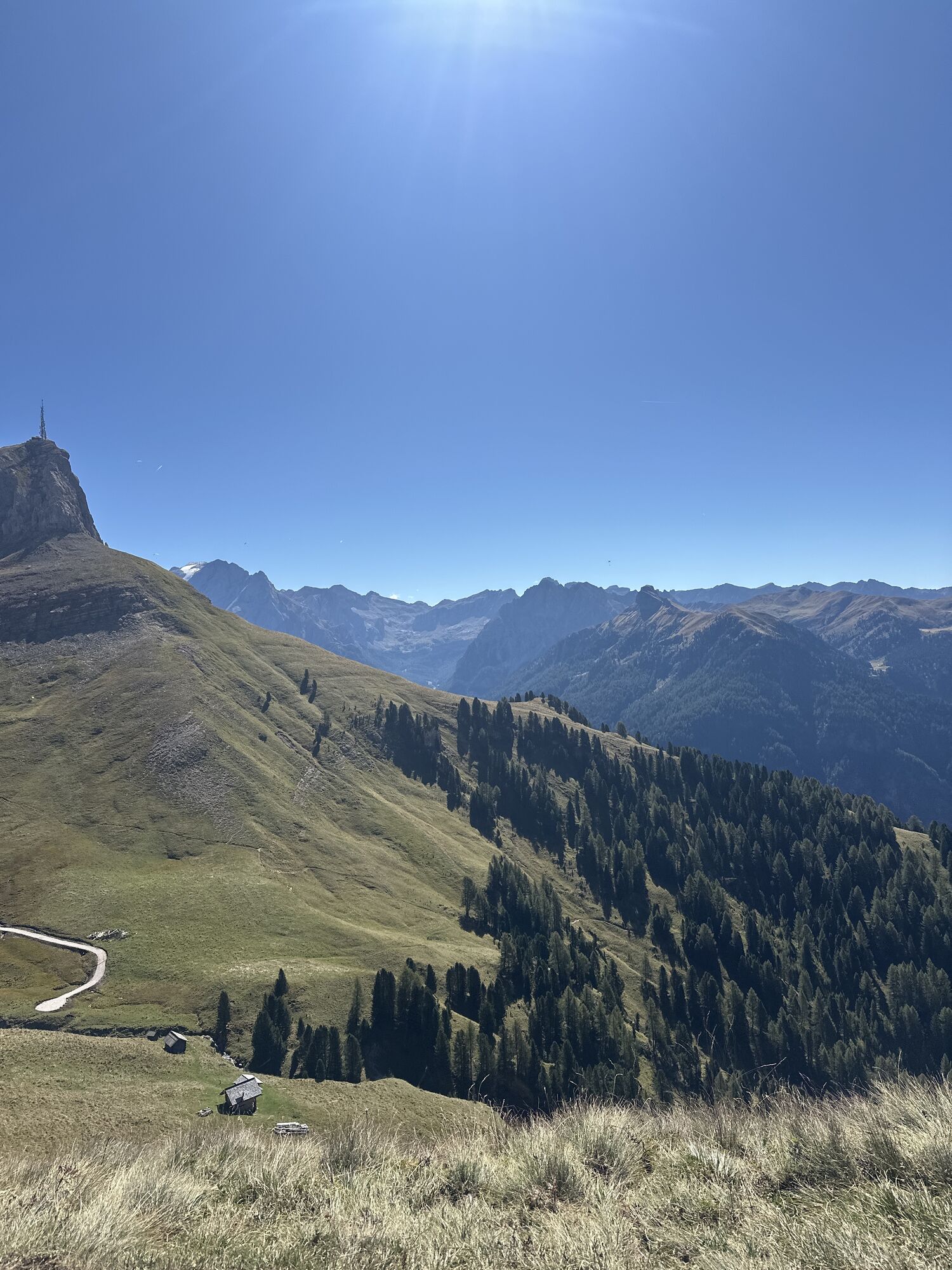
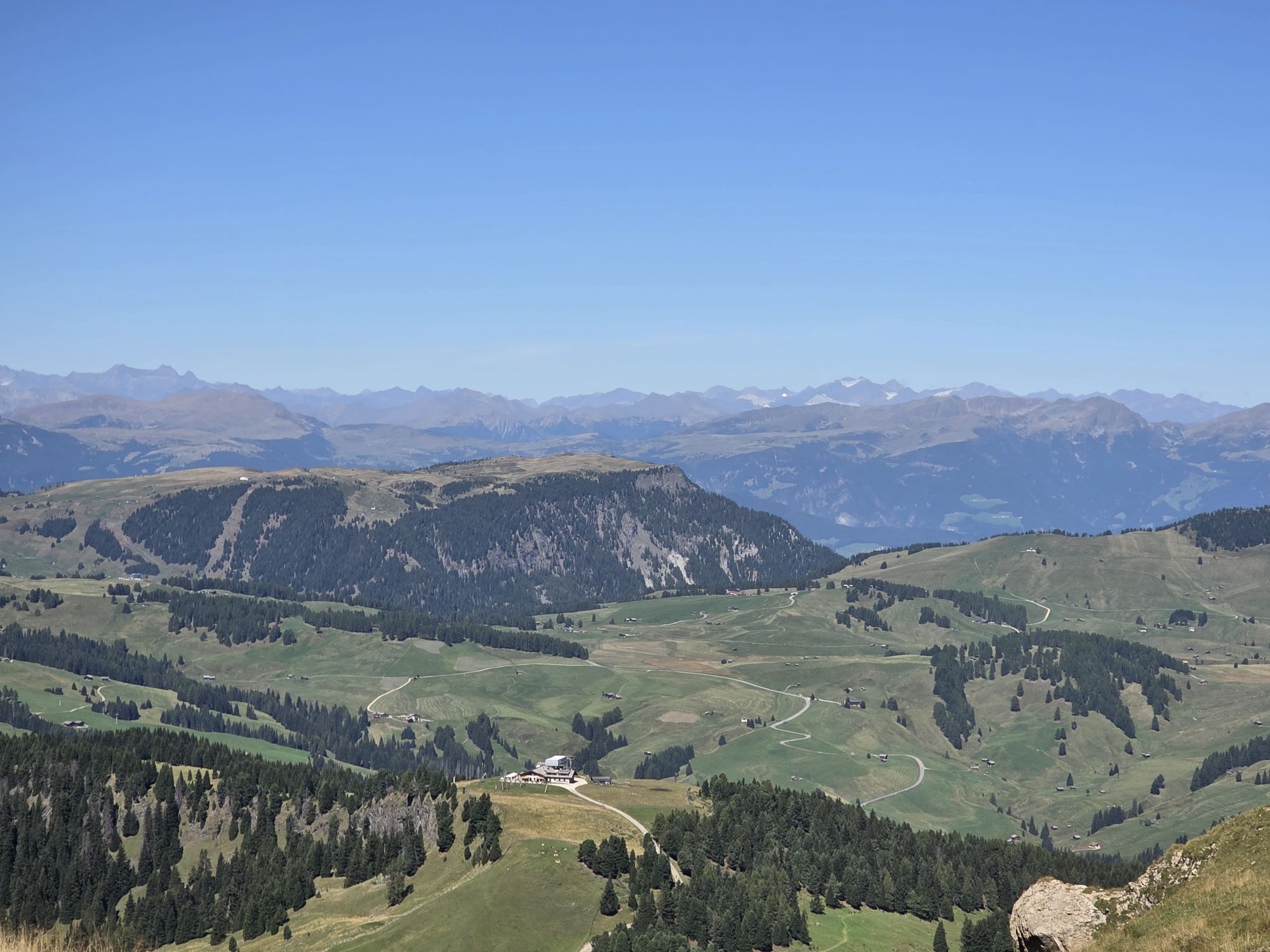
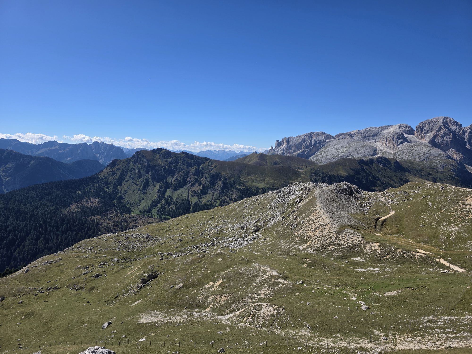
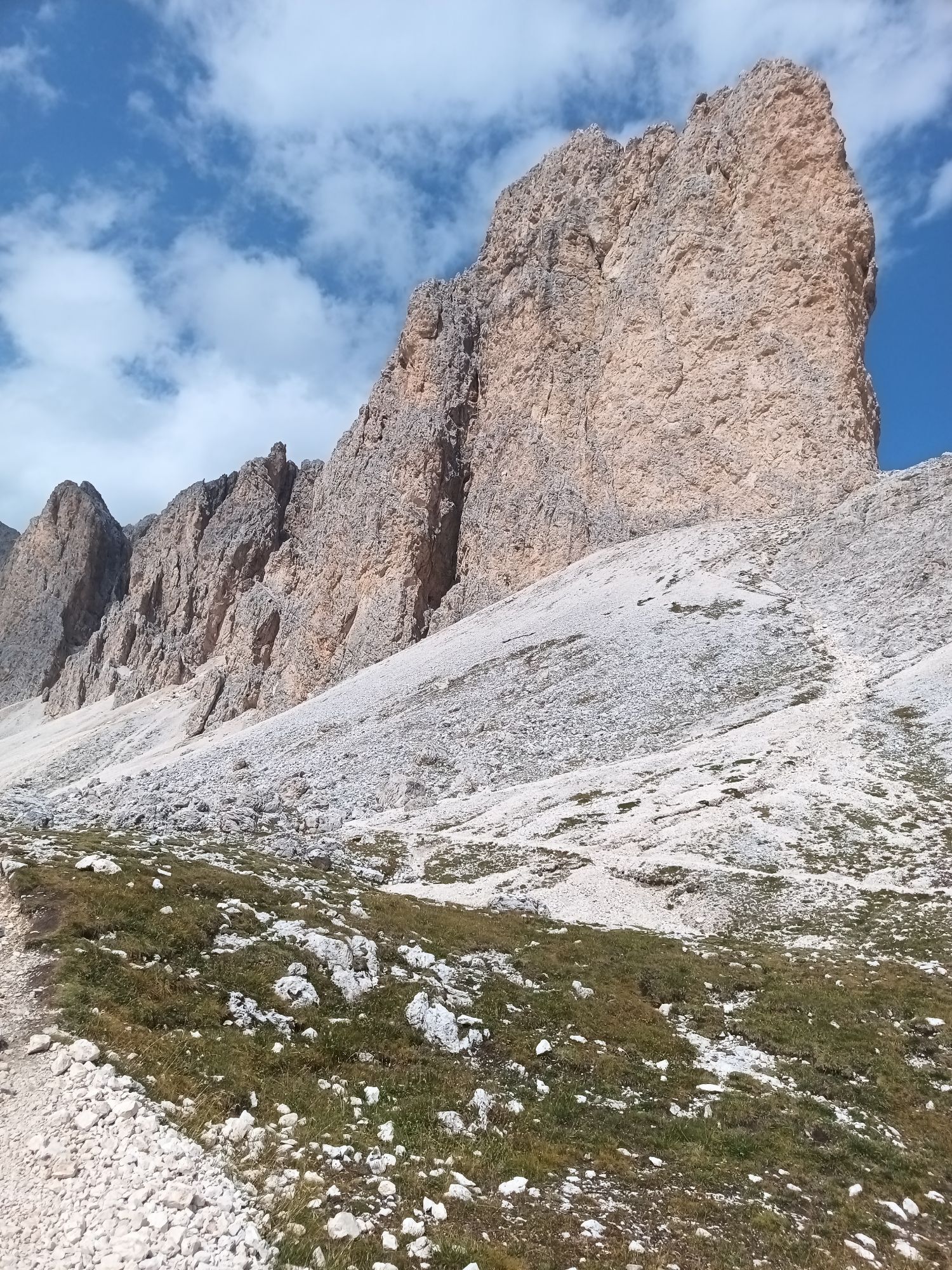
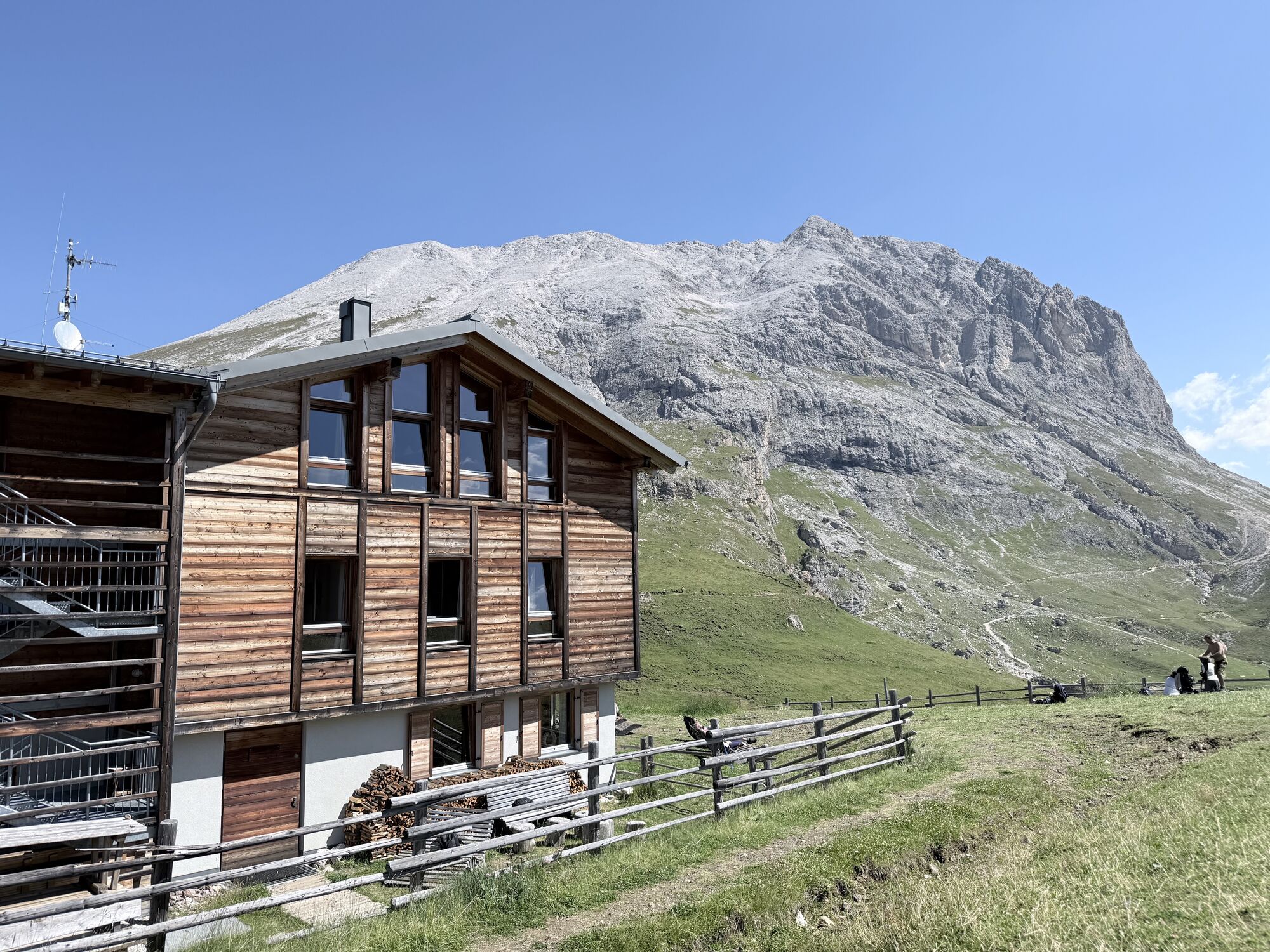
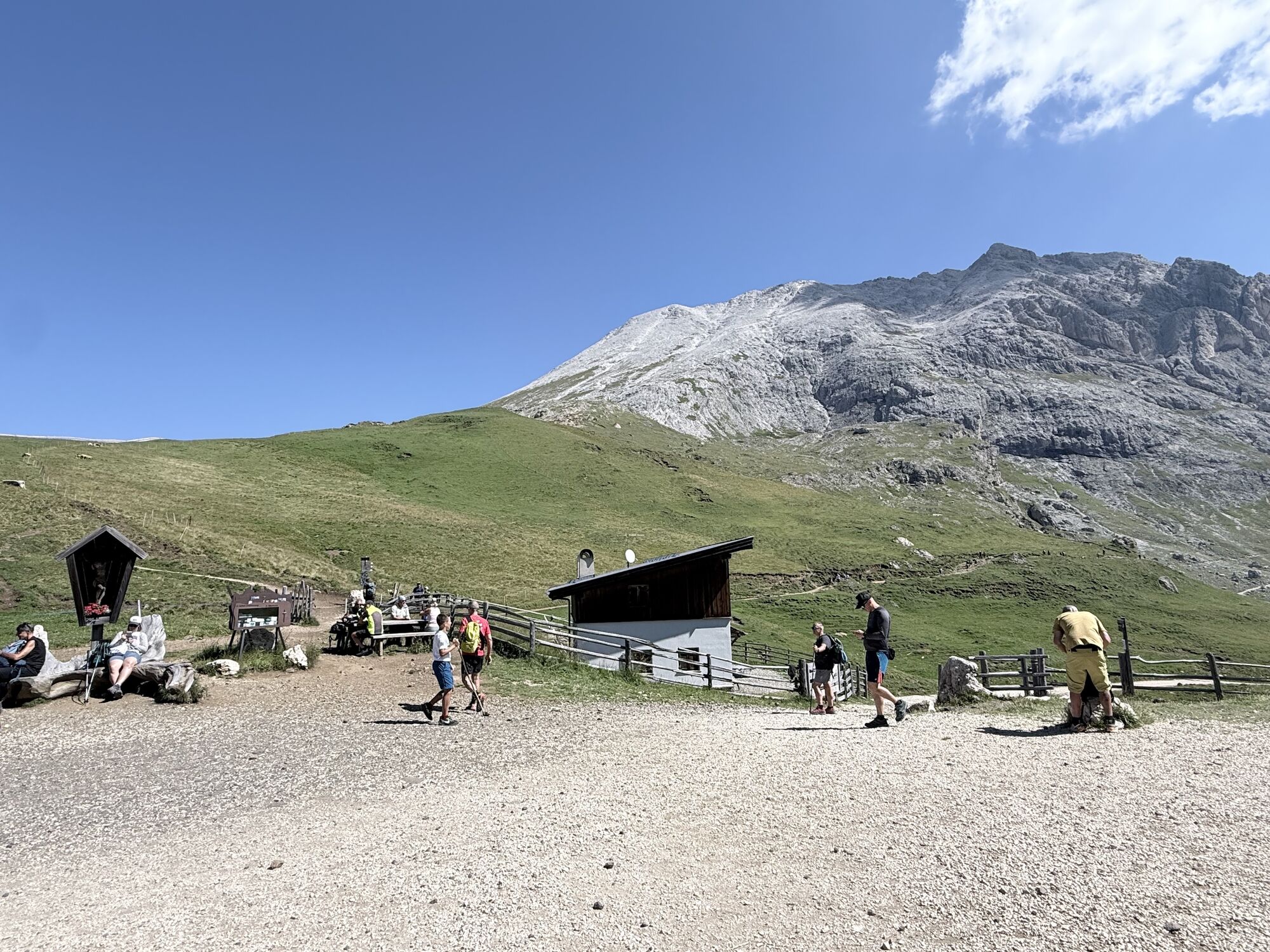
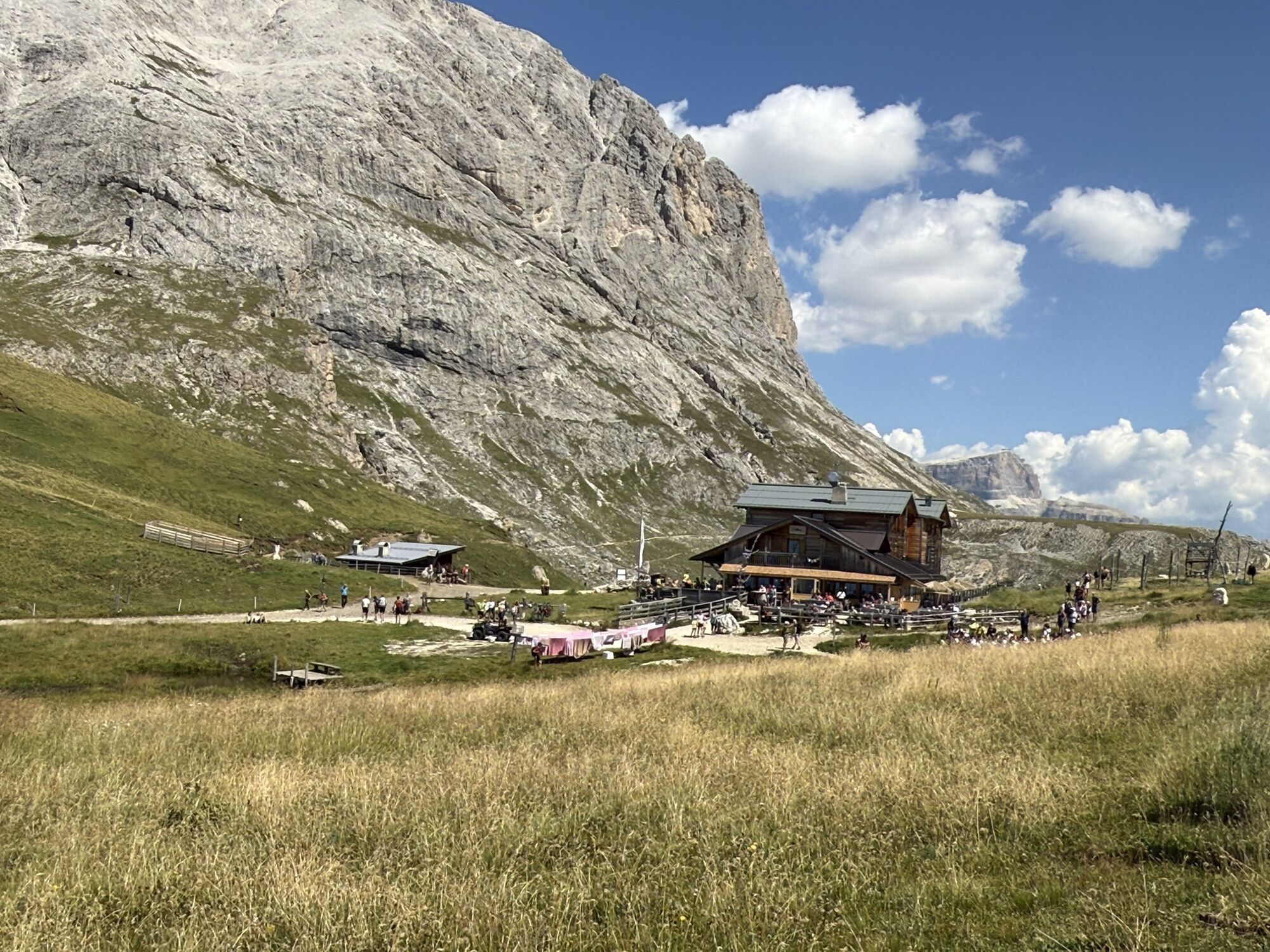
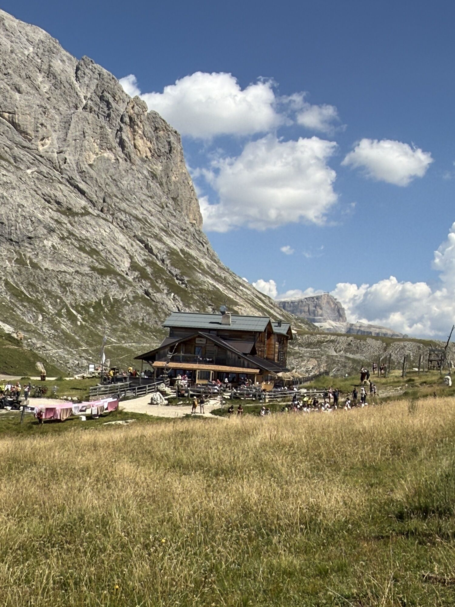
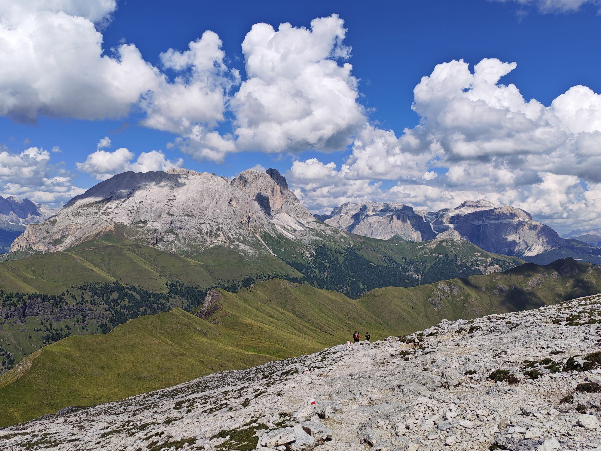
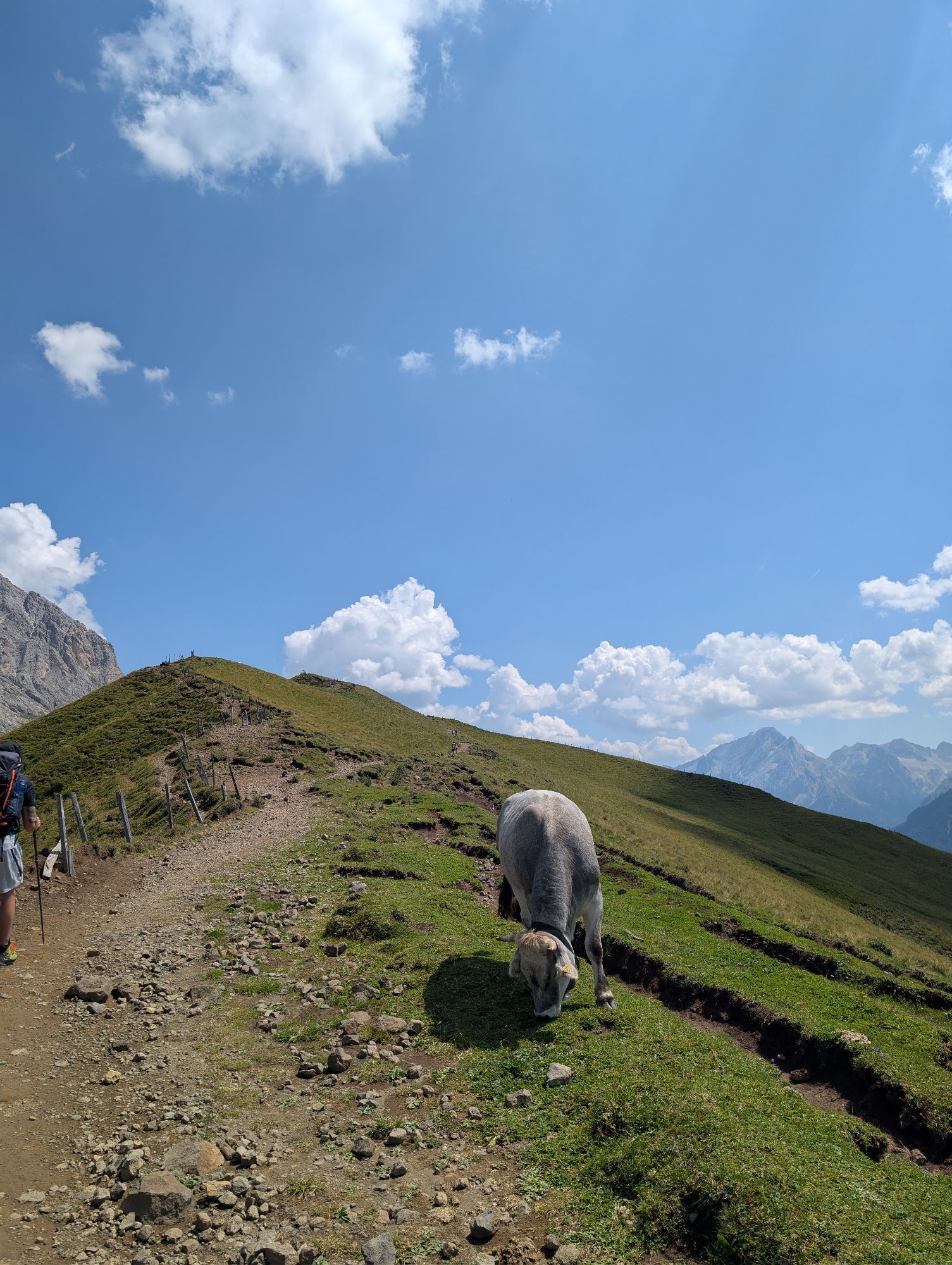
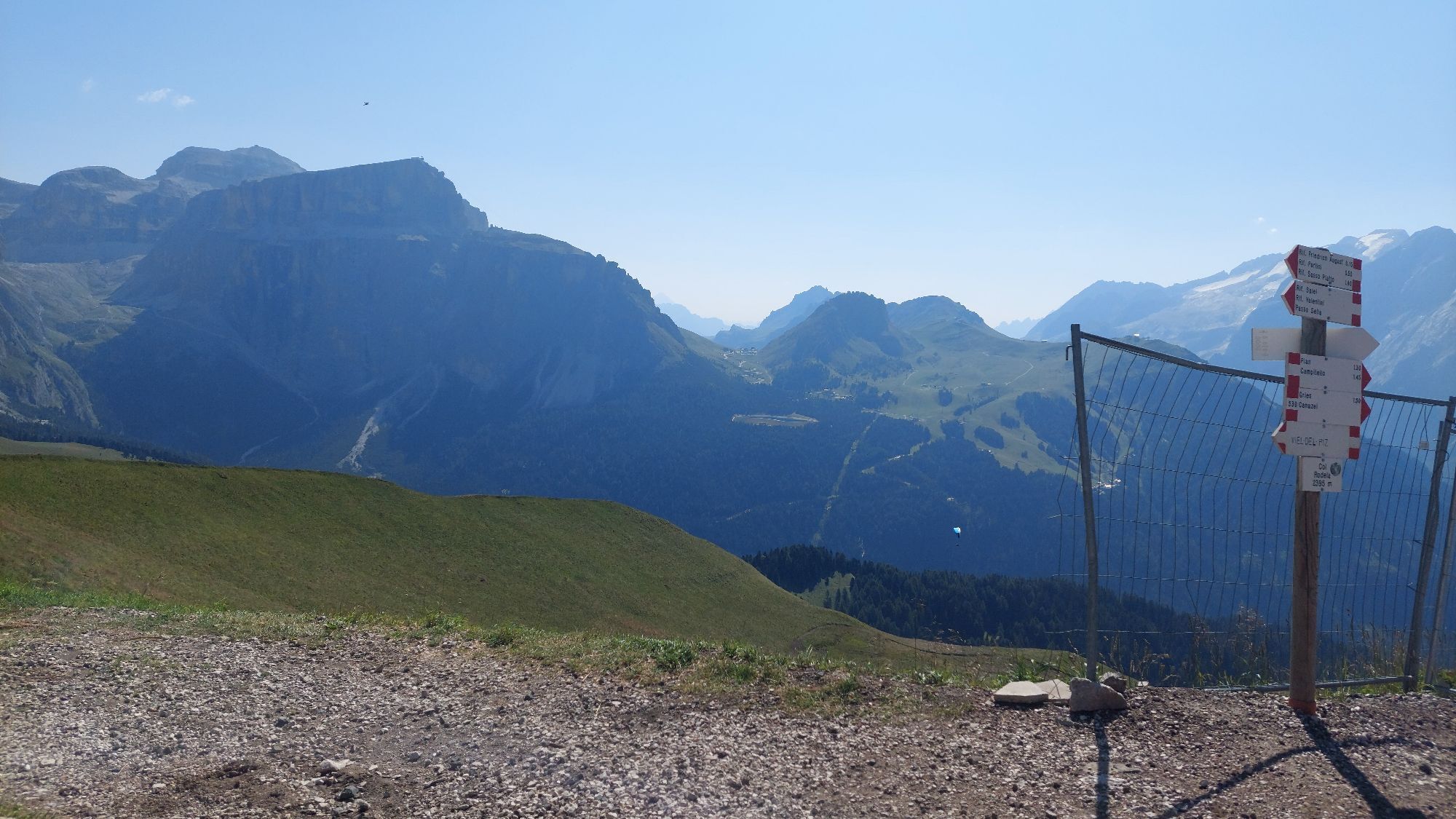
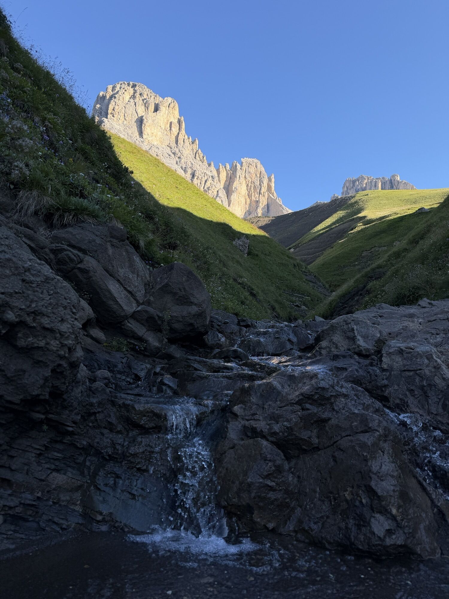
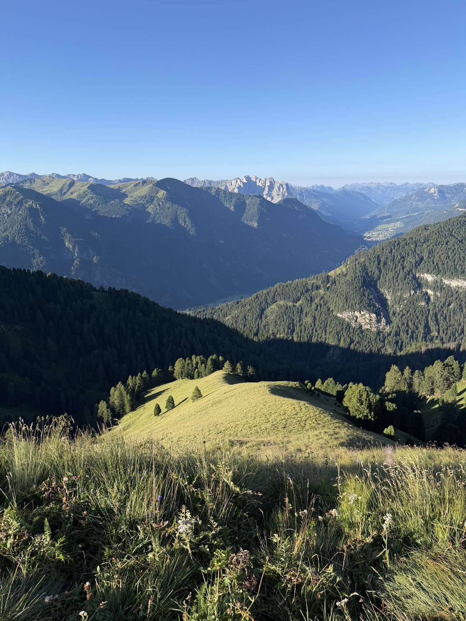
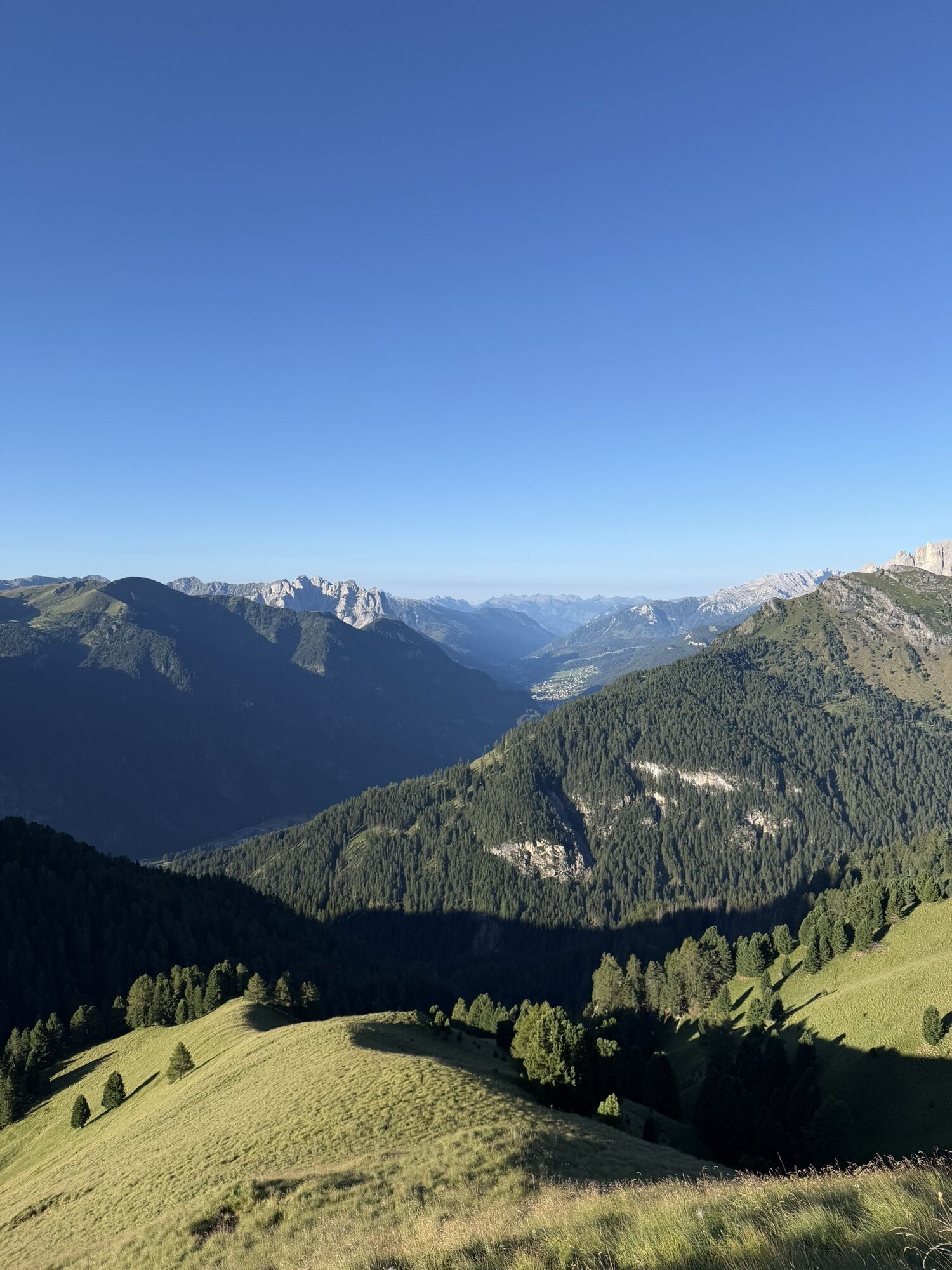
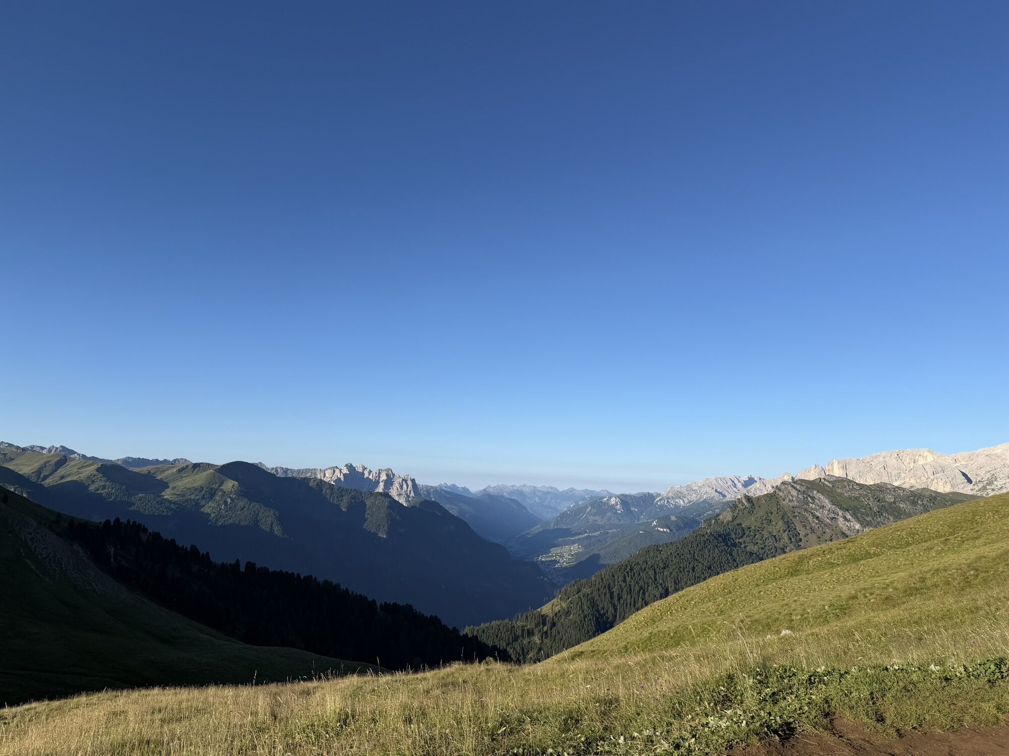
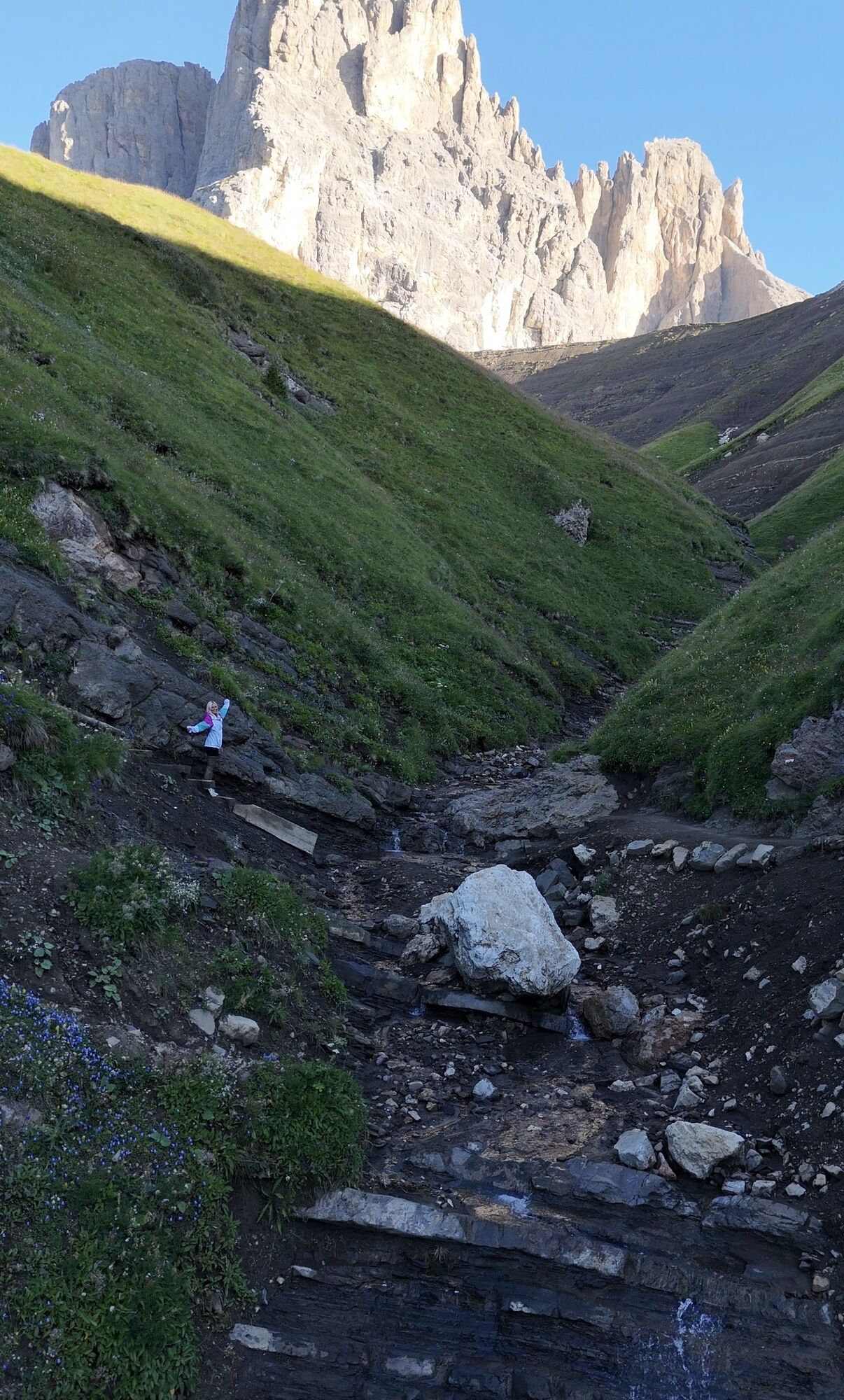
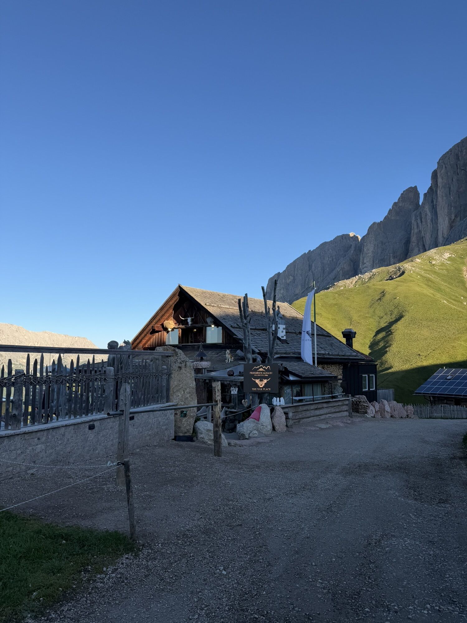
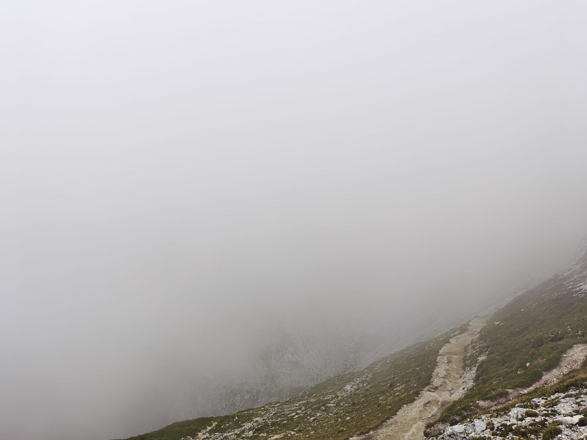
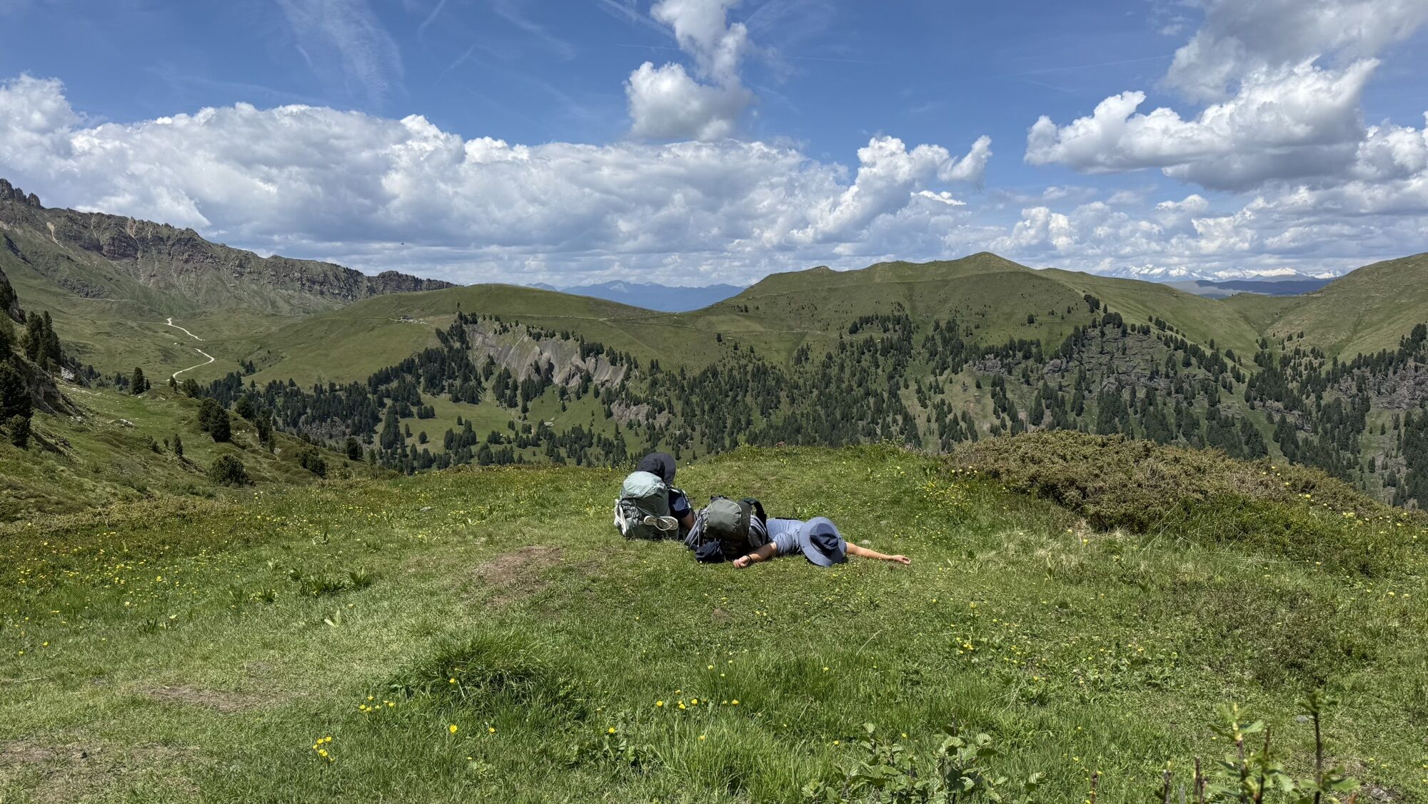
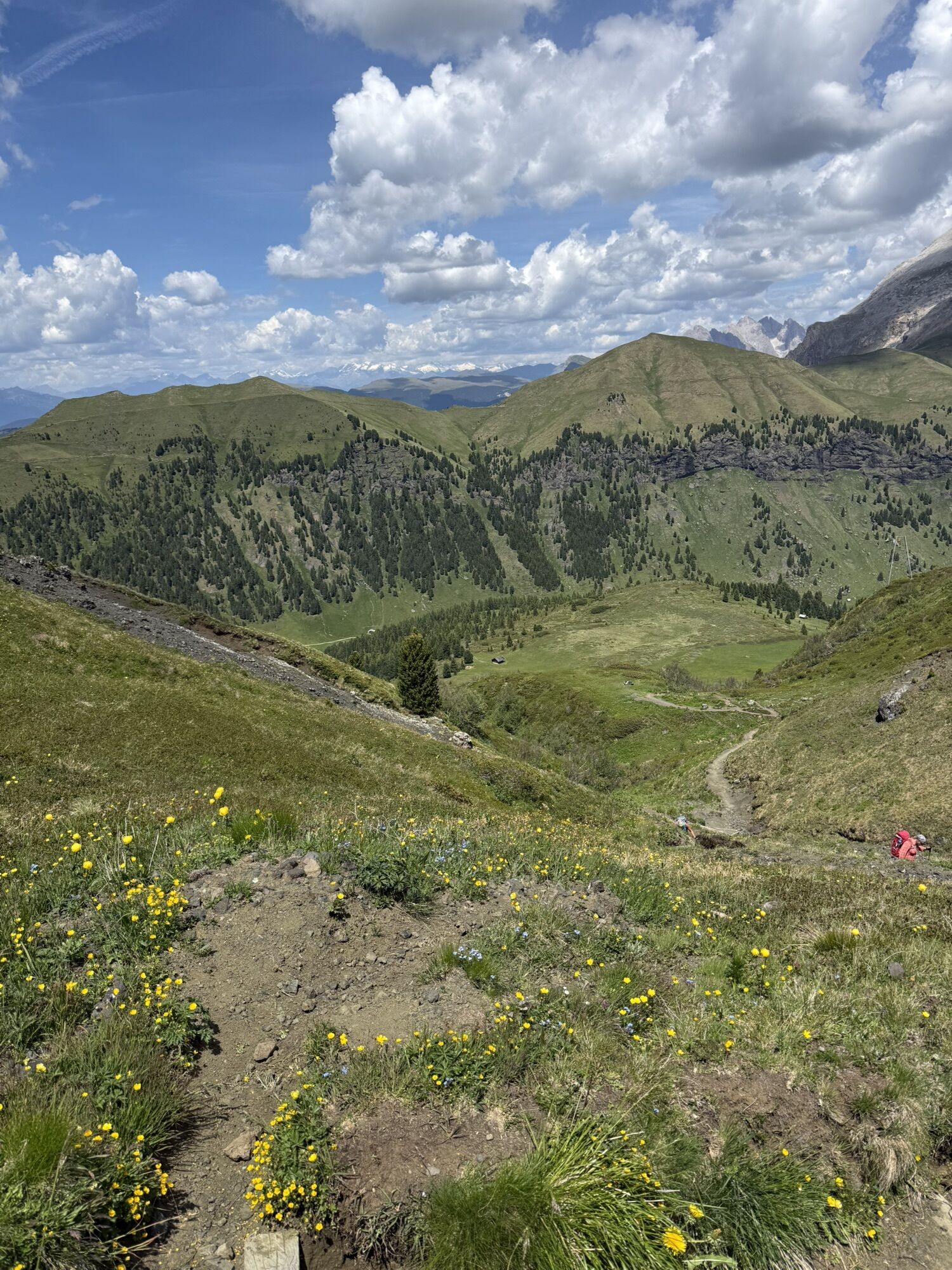
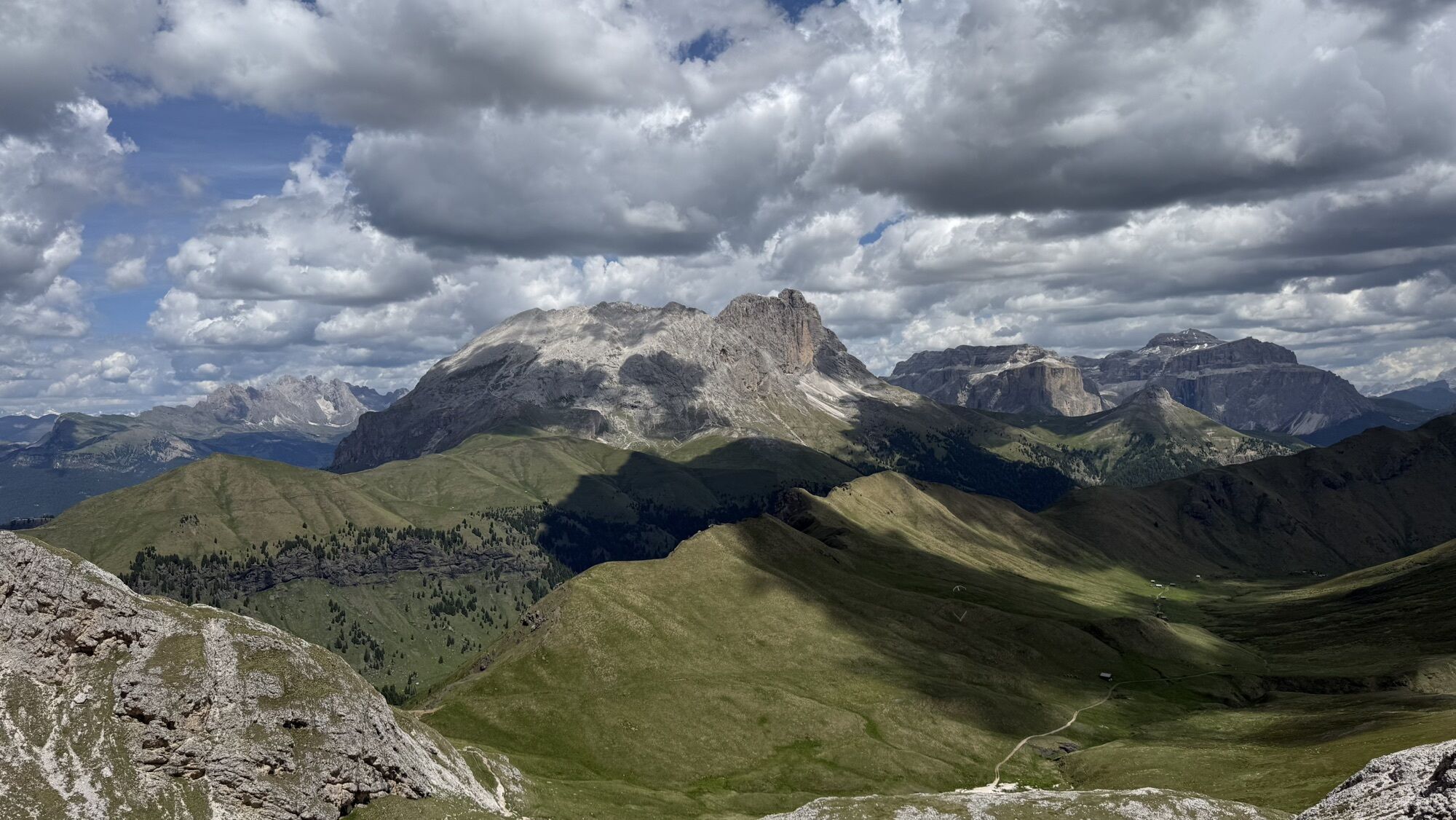
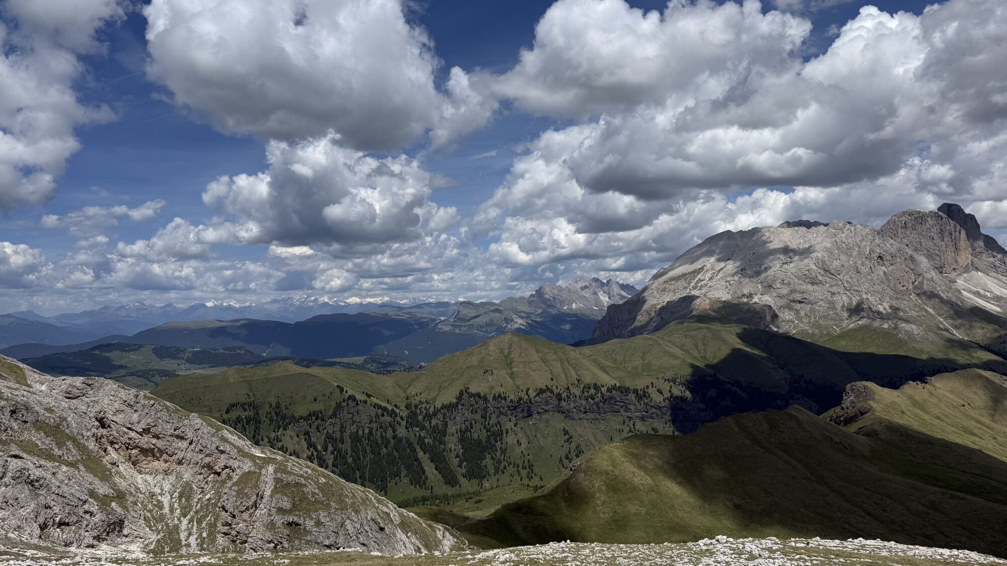
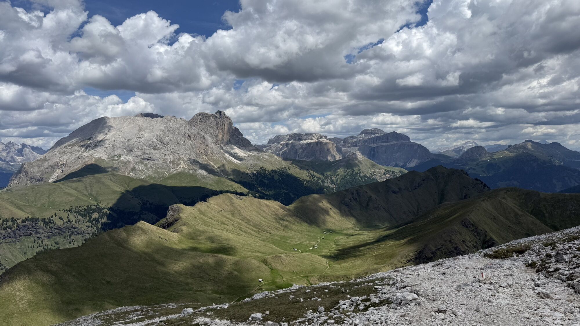
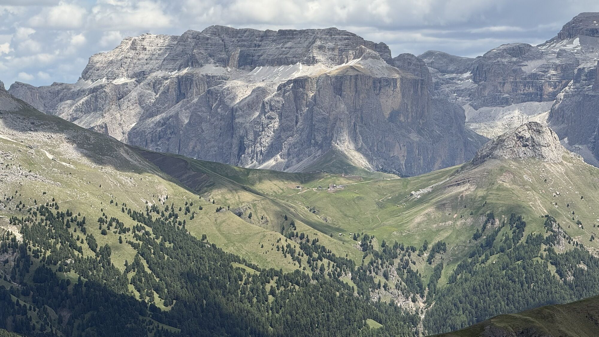
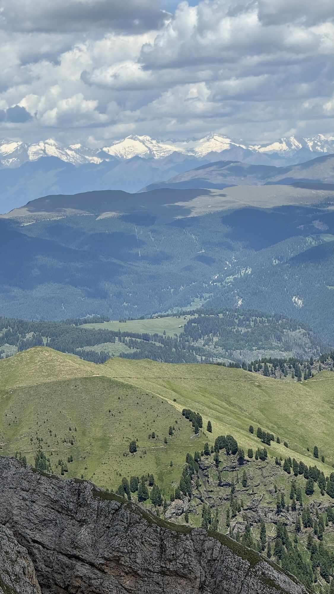
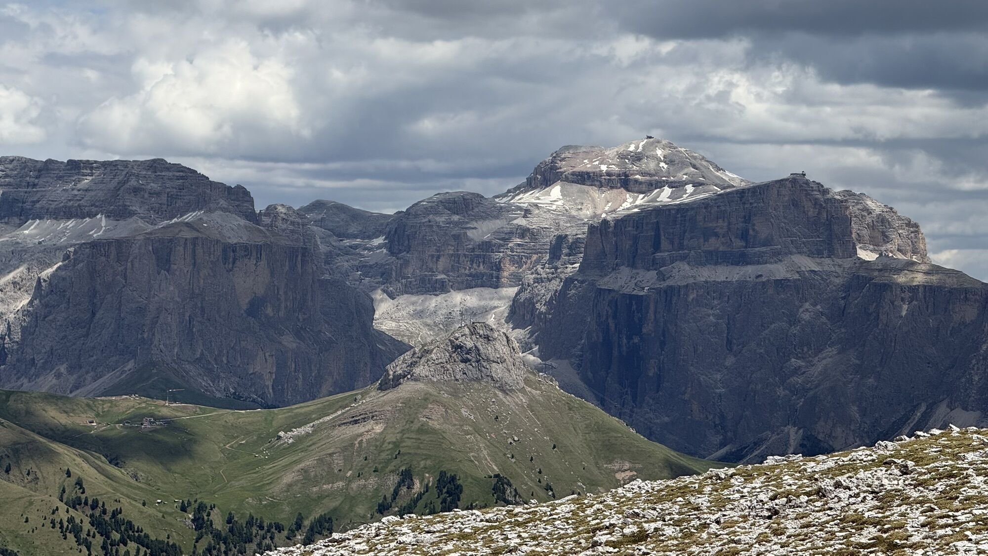
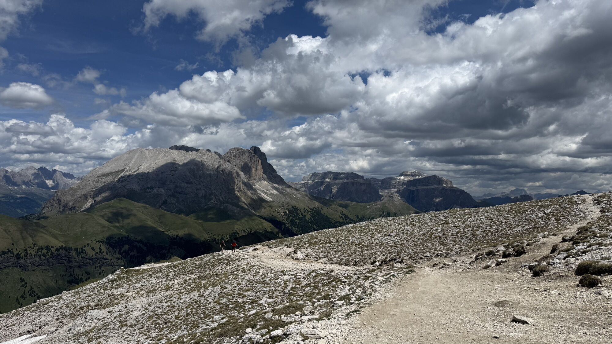
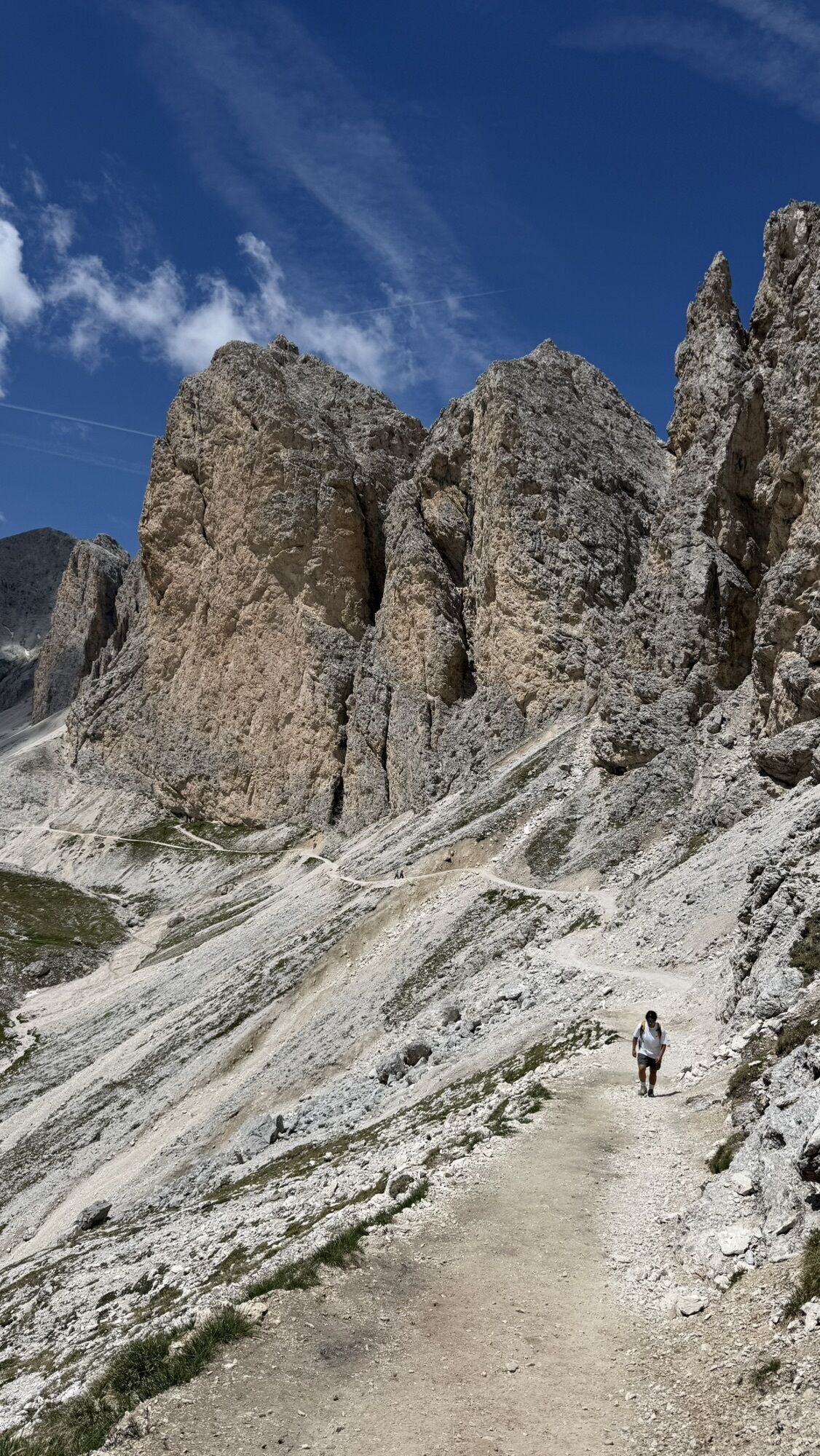
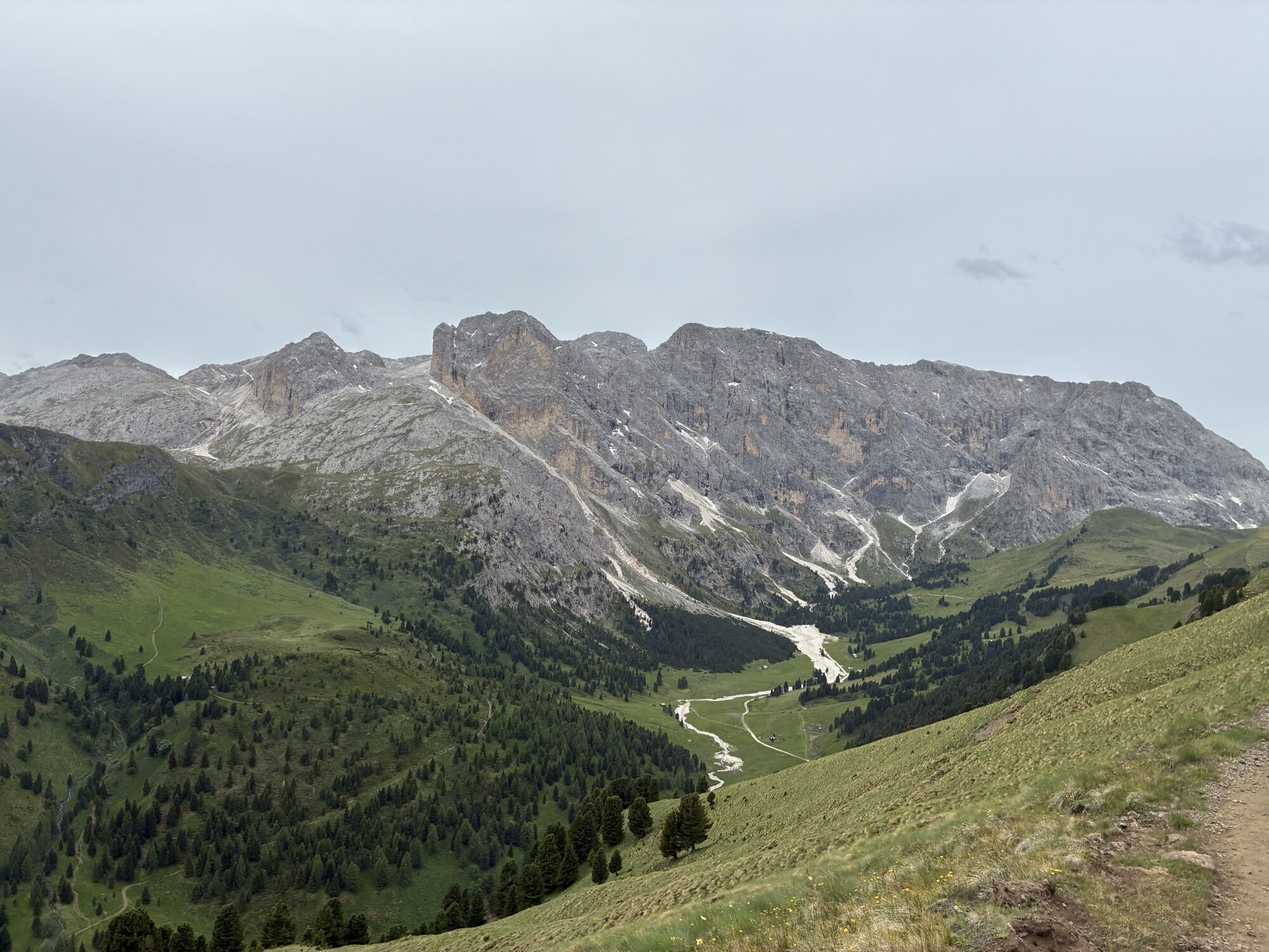
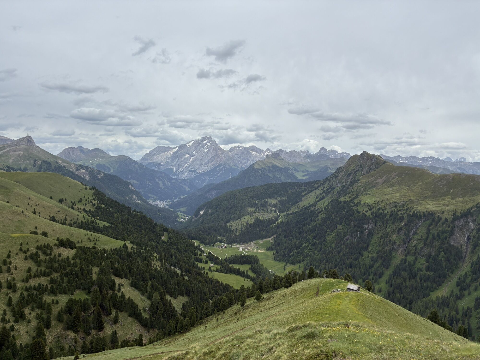
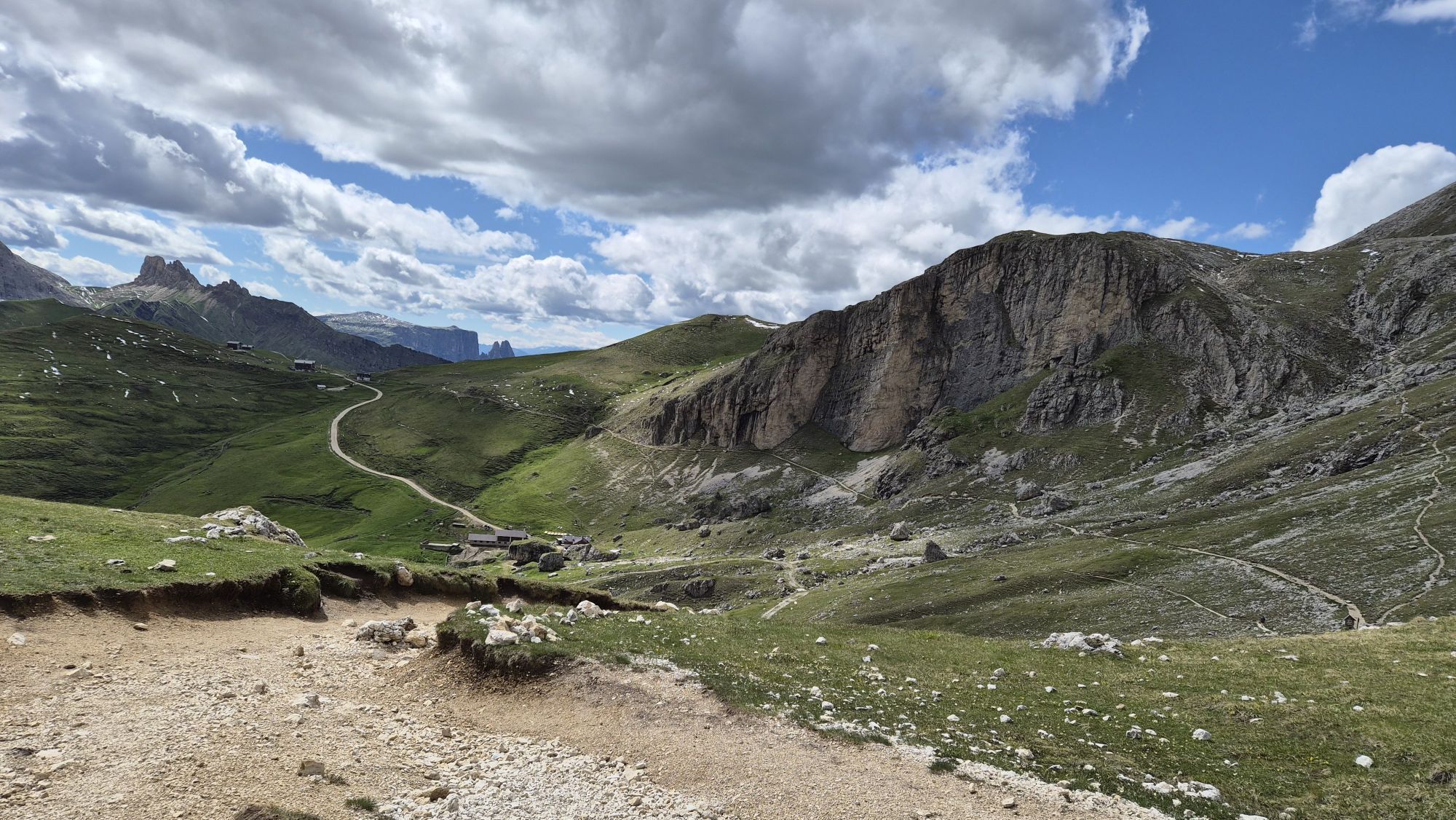
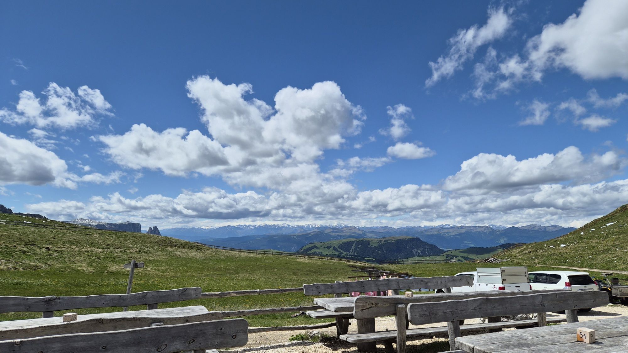
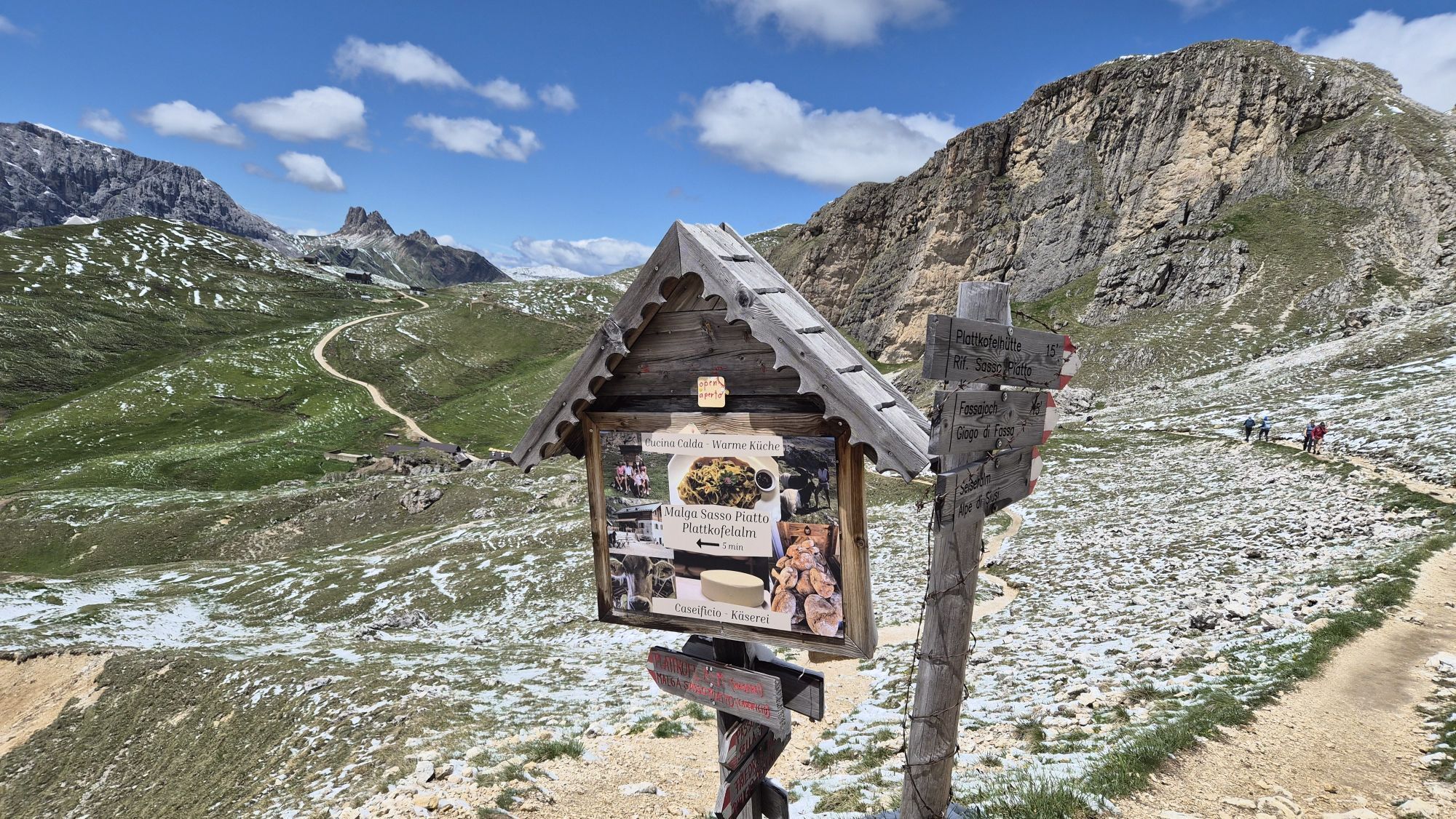
From Col Rodella, follow the downhill path no. 529 and then take path no. 557/557-4, also known as "Friedrich August Weg". With minimal elevation changes, you walk at the foot of Punta Grohmann, Punta...
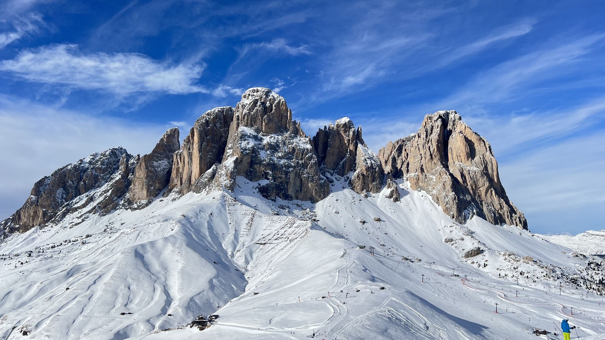
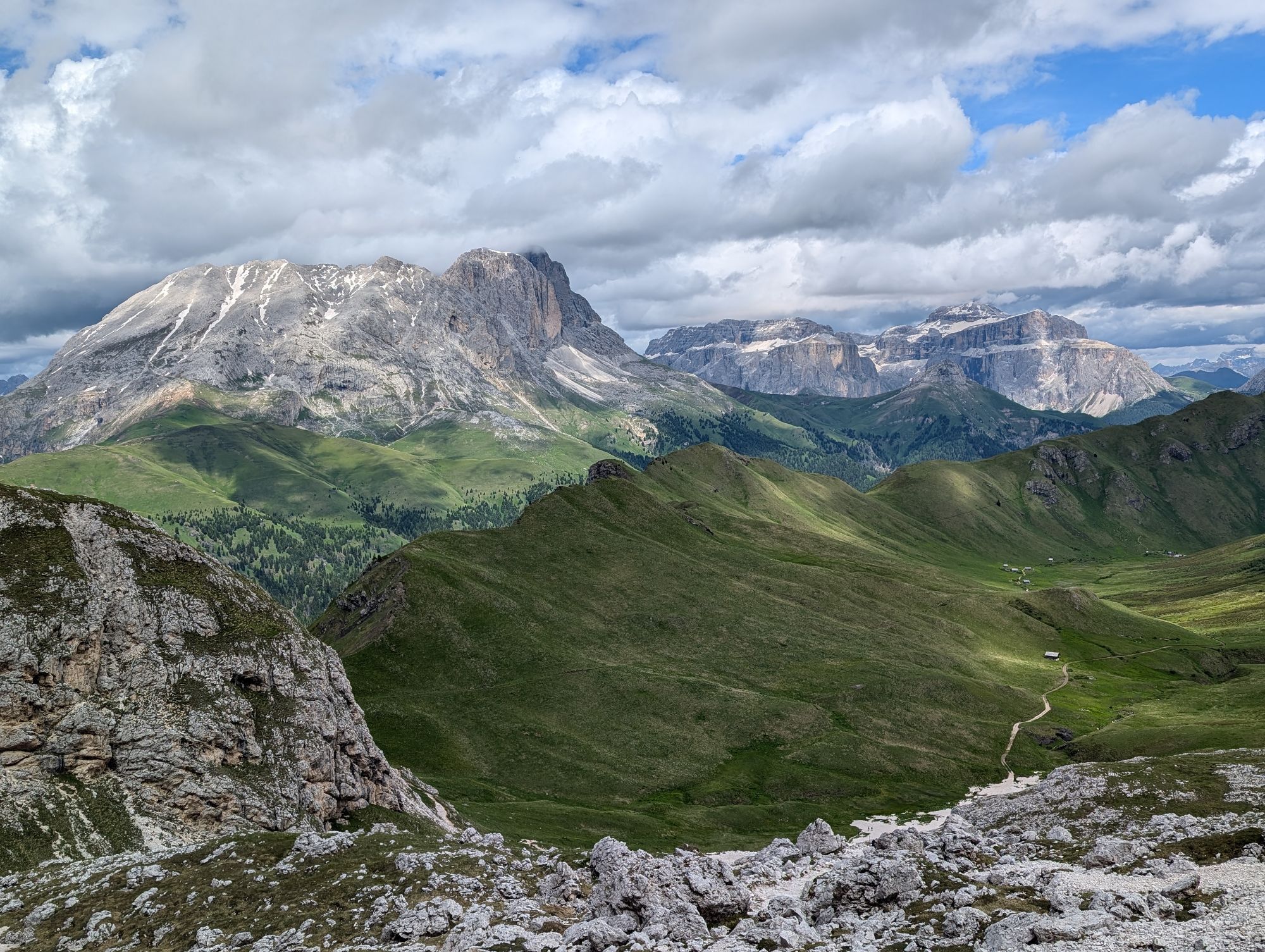
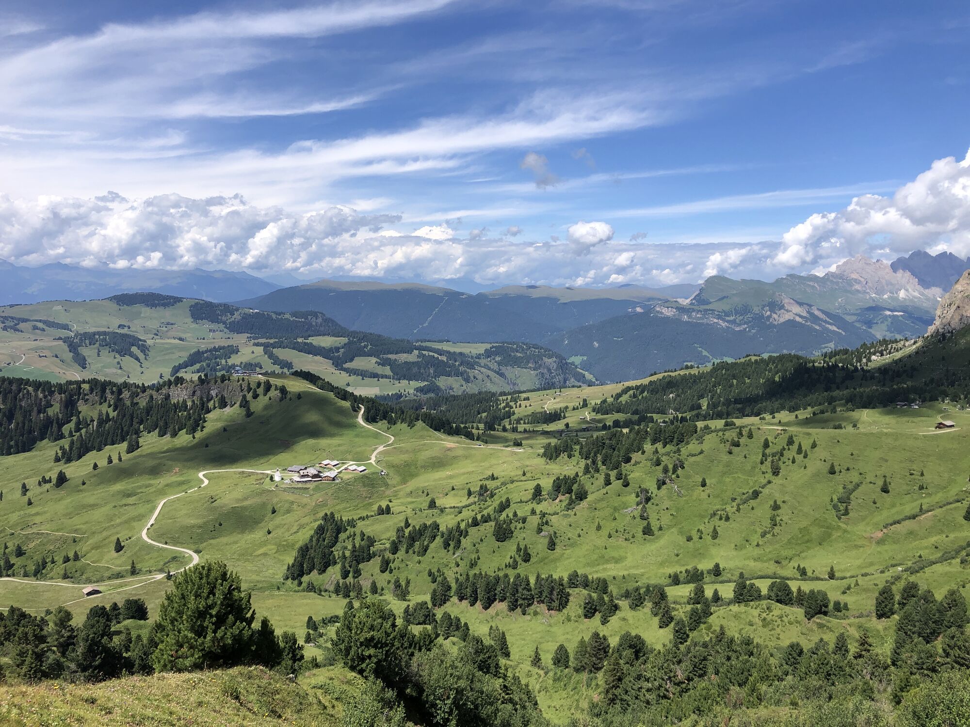
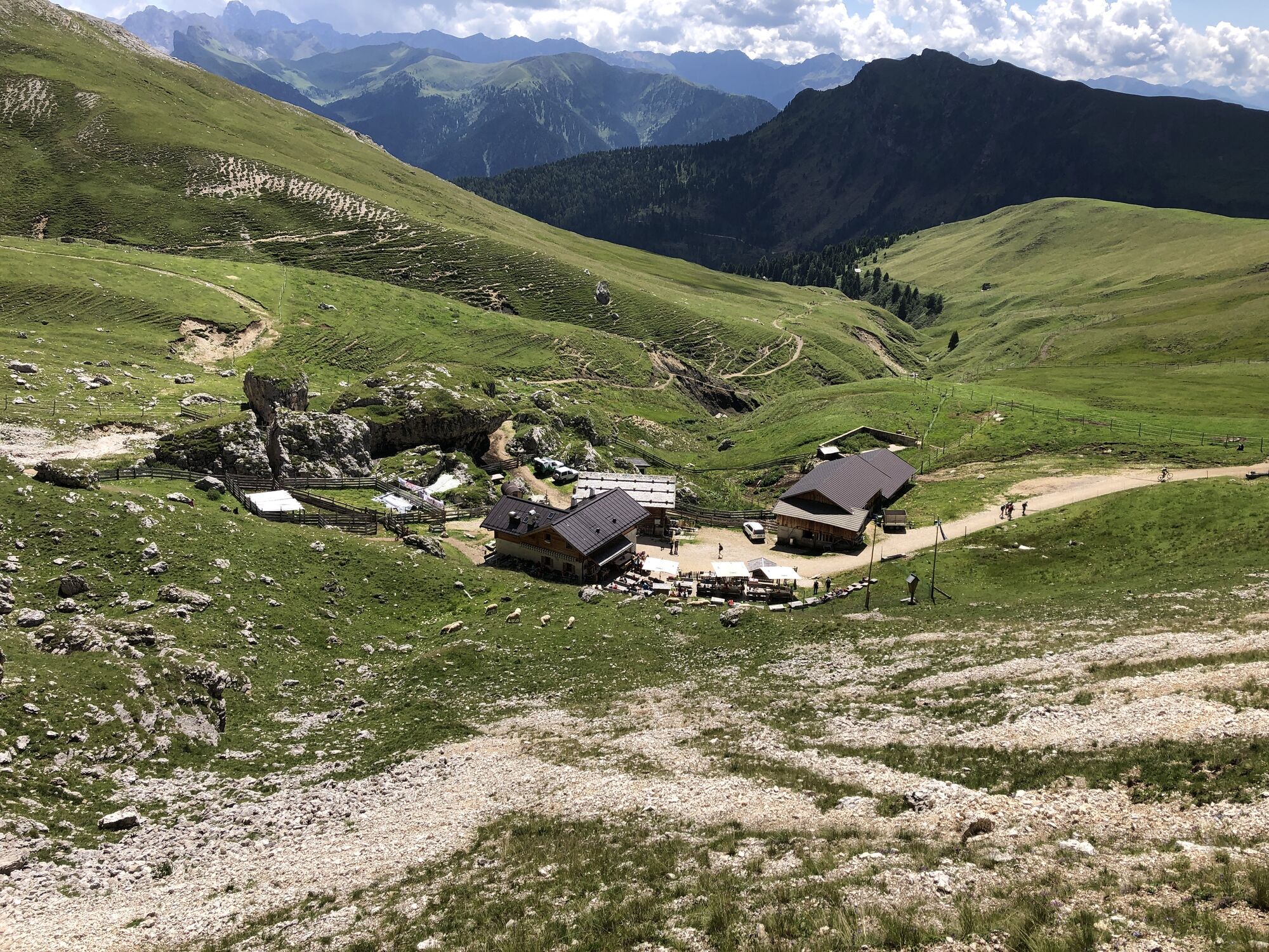
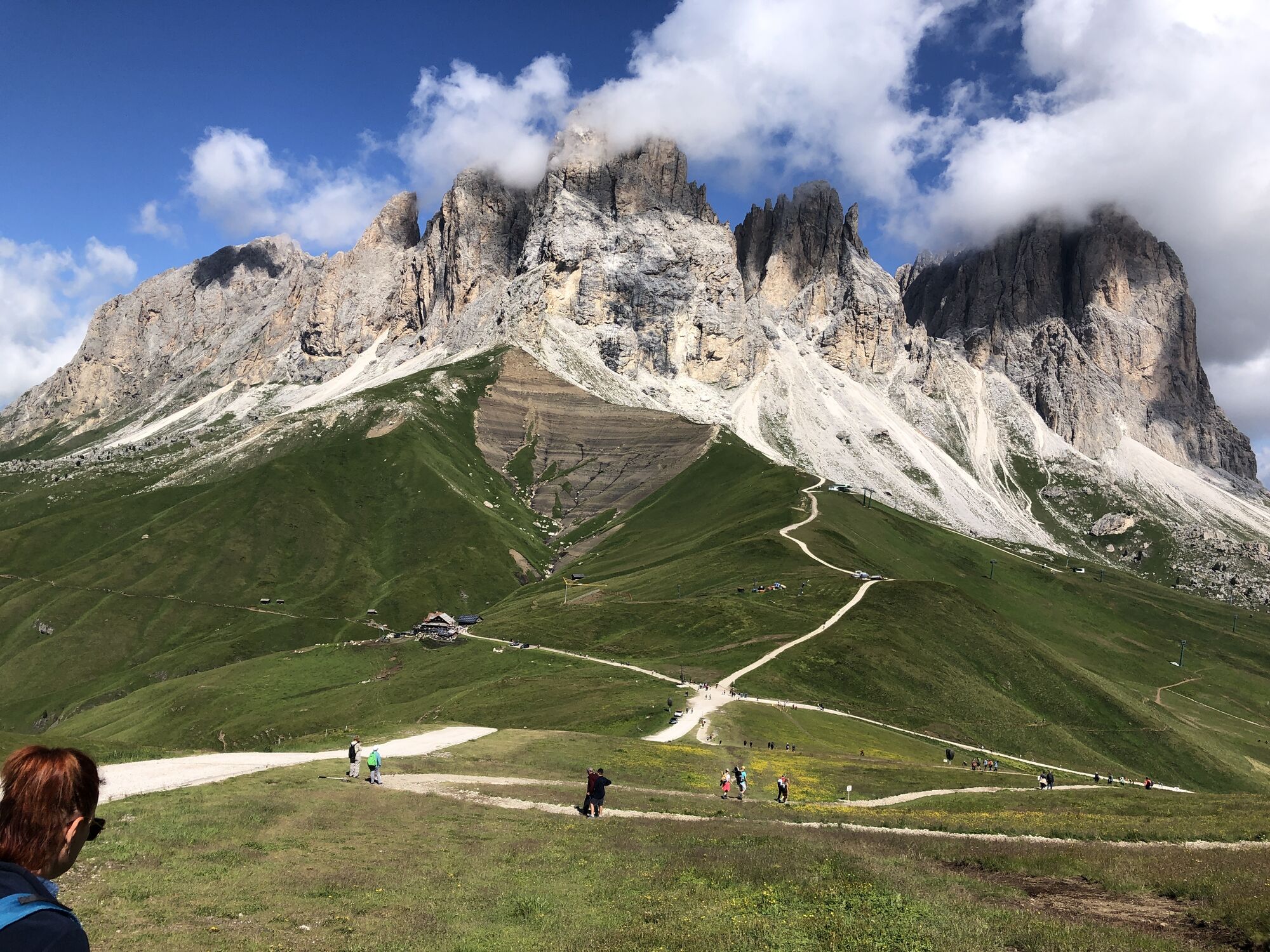
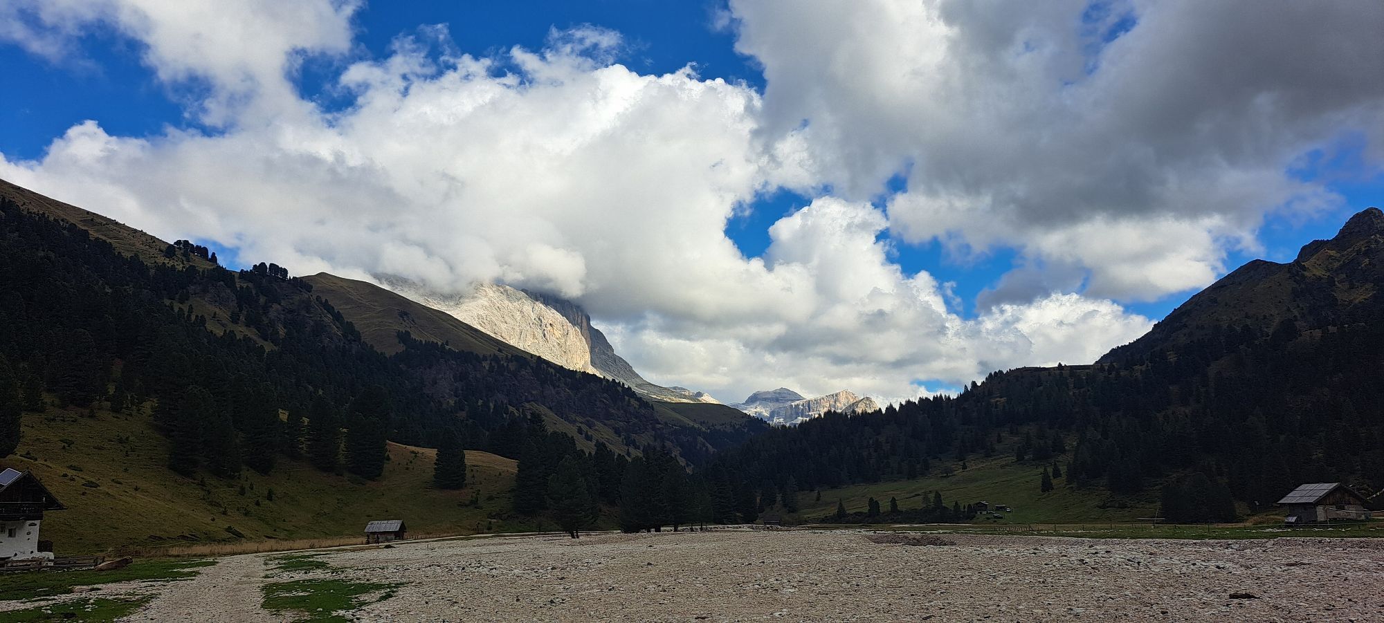
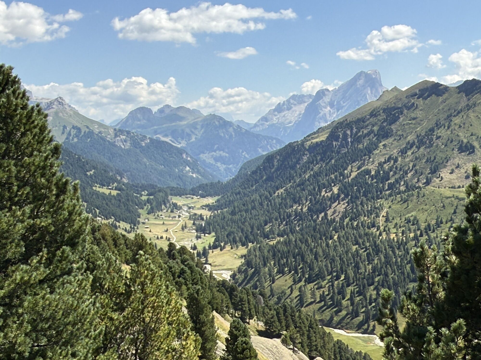
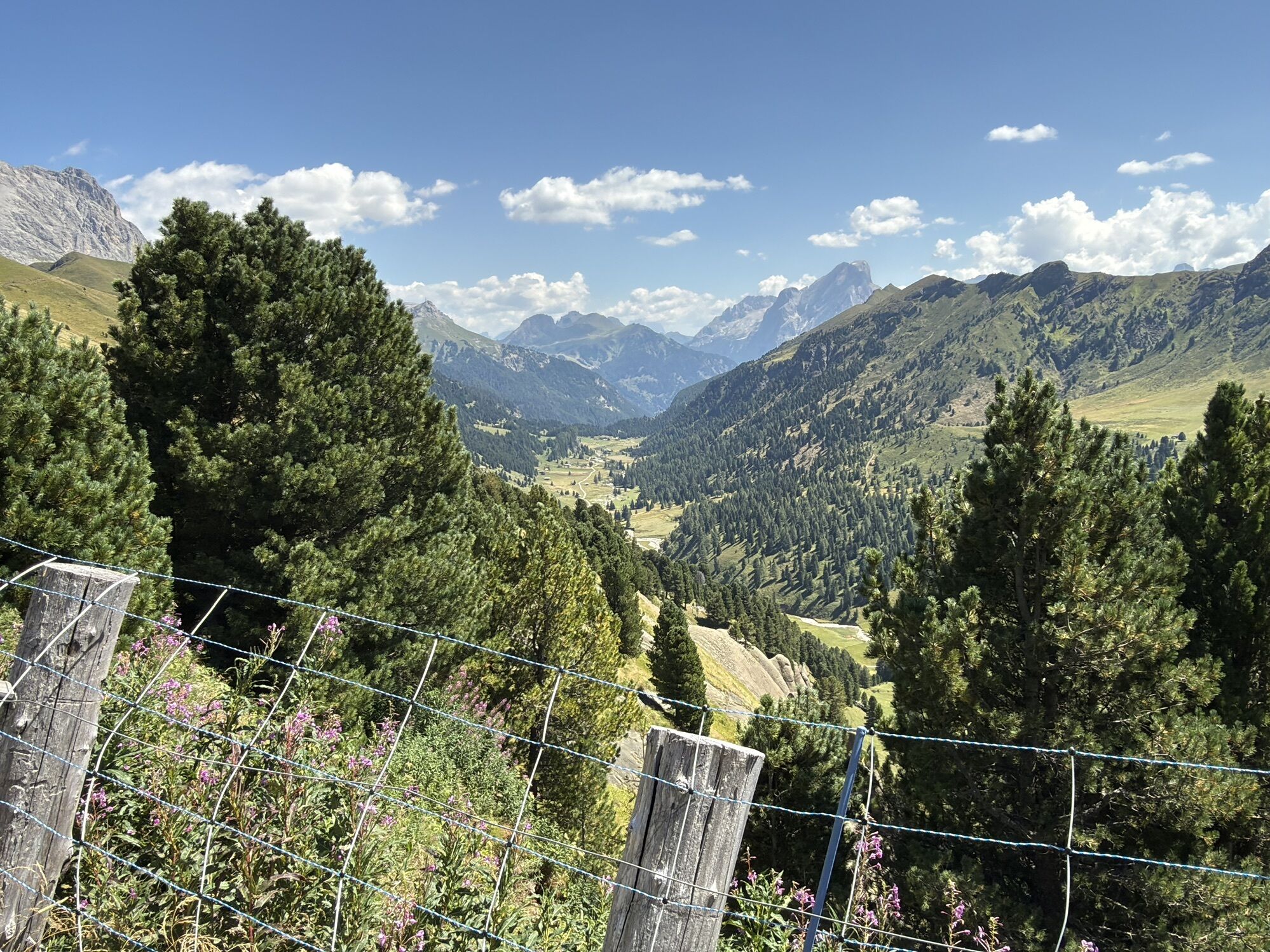
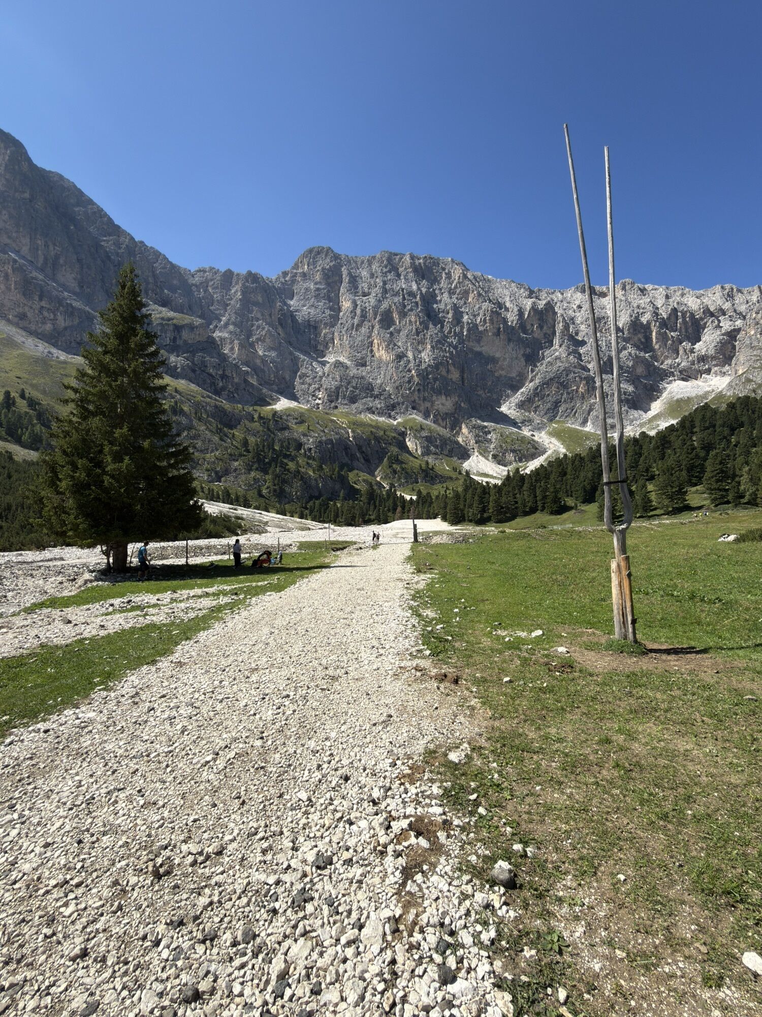
From Col Rodella, follow the downhill path no. 529 and then take path no. 557/557-4, also known as "Friedrich August Weg". With minimal elevation changes, you walk at the foot of Punta Grohmann, Punta Innerkofler, Dente del Sassolungo and Sasso Piatto, then emerge onto the grassy saddle of Giogo di Fassa where Rifugio Sasso Piatto stands. Continue on the flat ridge of Siusi (no. 594-4) then lose elevation on the Val Duron side until the homonymous pass. Some depressions along the route allow you to enjoy superb views also towards Alpe di Siusi and the Odle. From Passo Duron descend into the homonymous valley on path no. 532. Take the right path no. 555 that leads to Passo Ciaréjoles. After passing the pass, the trail joins sign no. 580 which you take to the right to ascend with steep switchbacks to Passo di Dona. Skirting the southern side of Cima di Dona, reach Rifugio Antermoia.

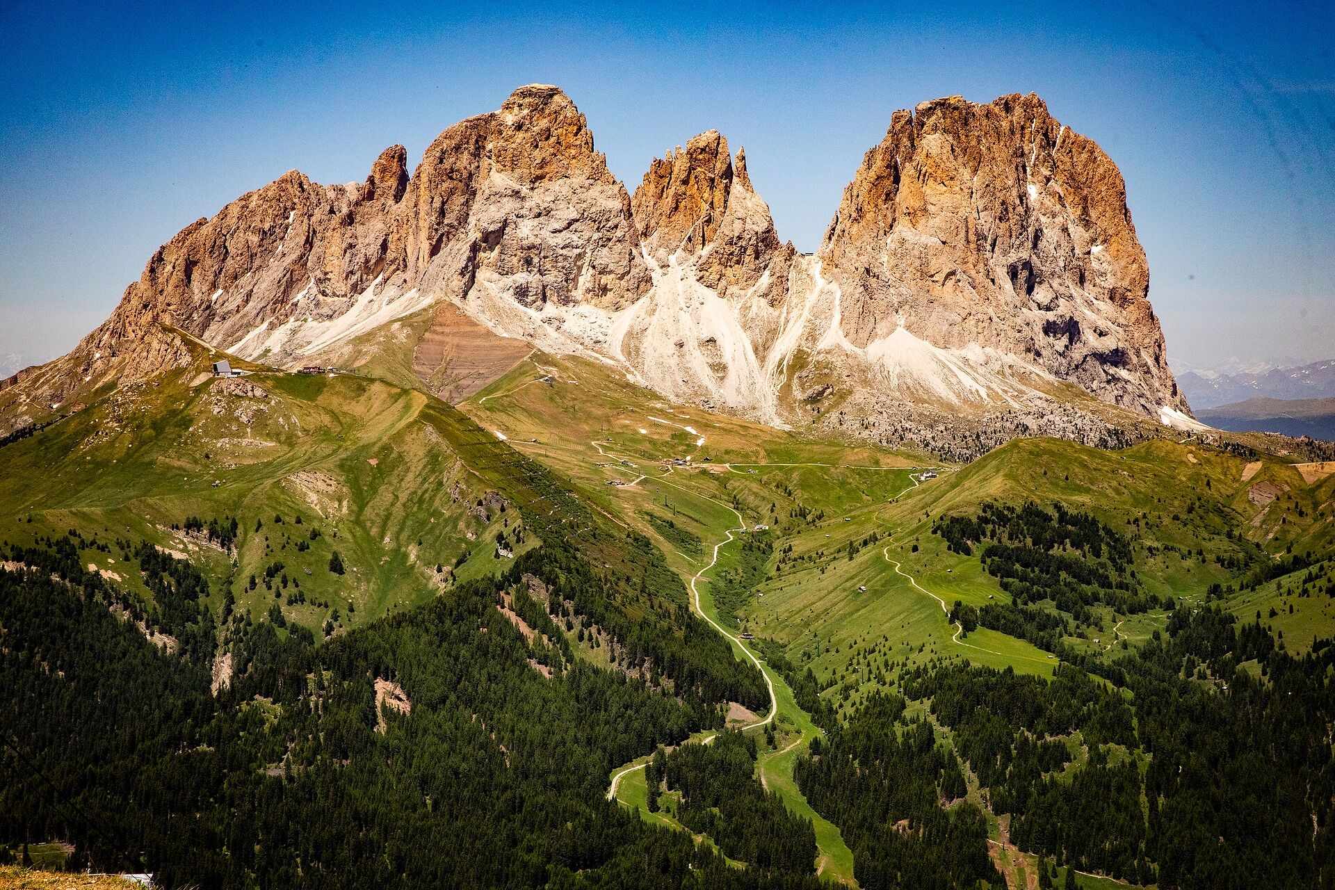
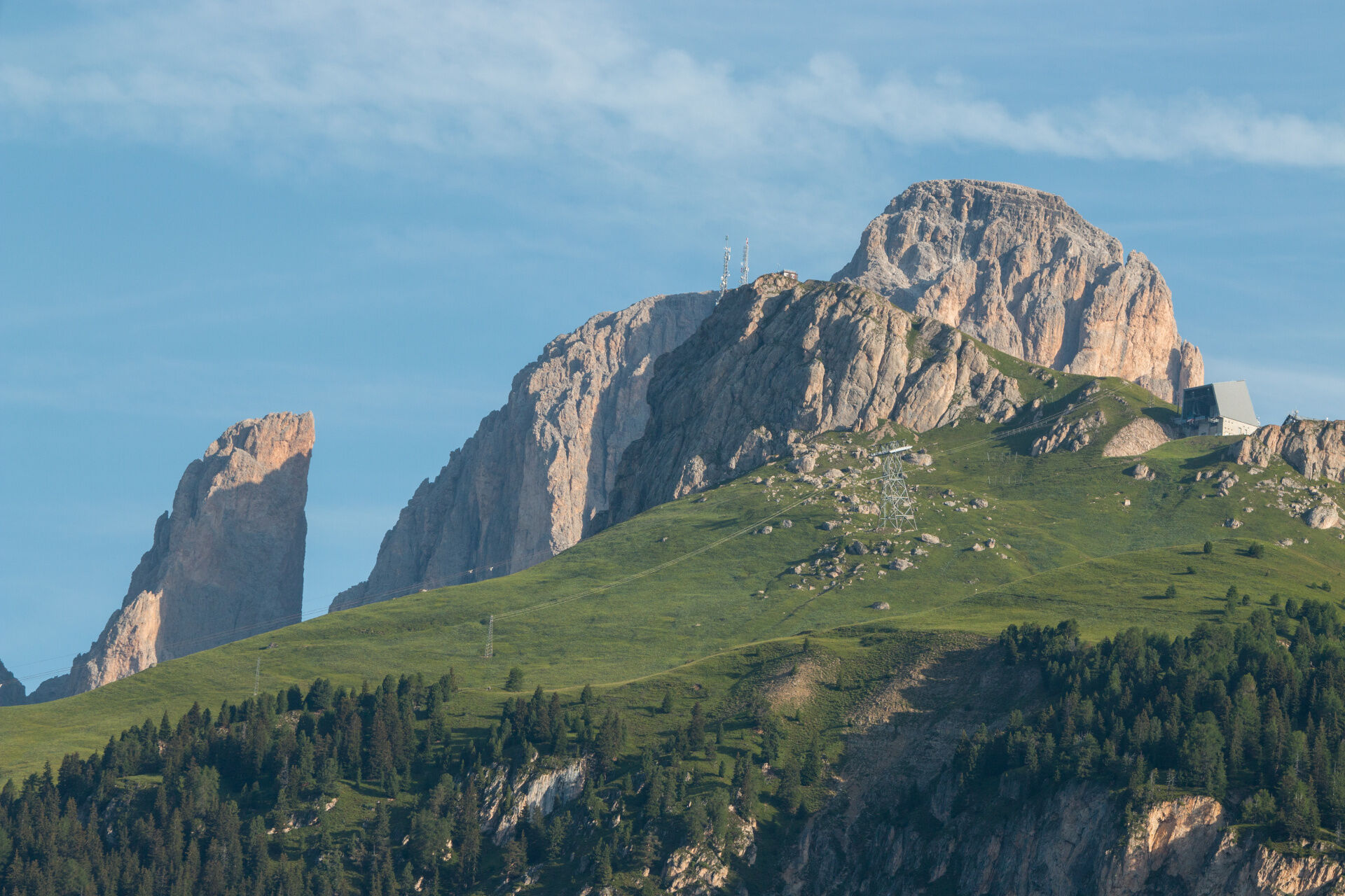
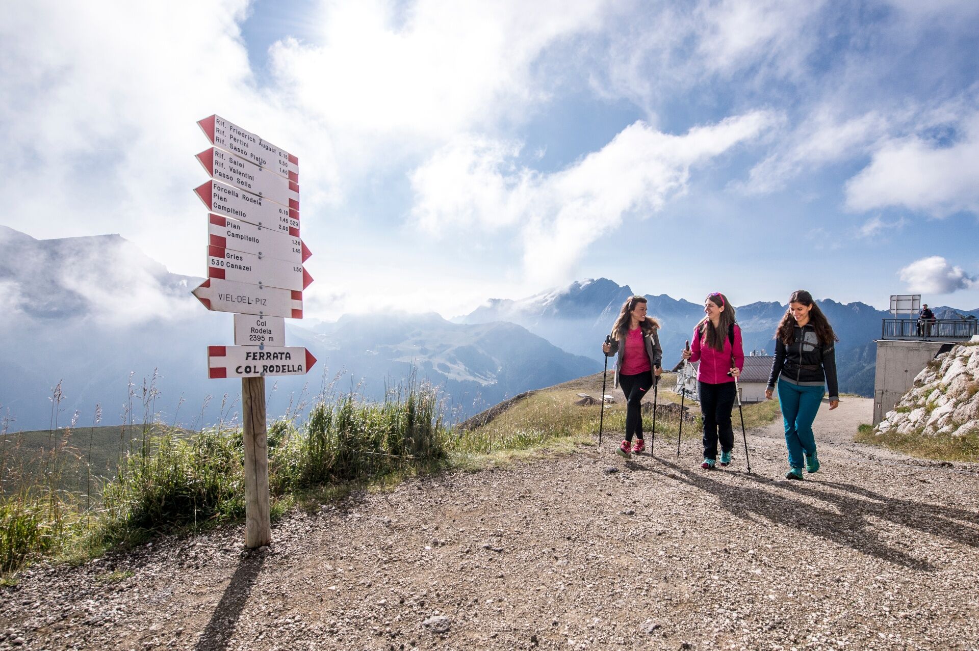
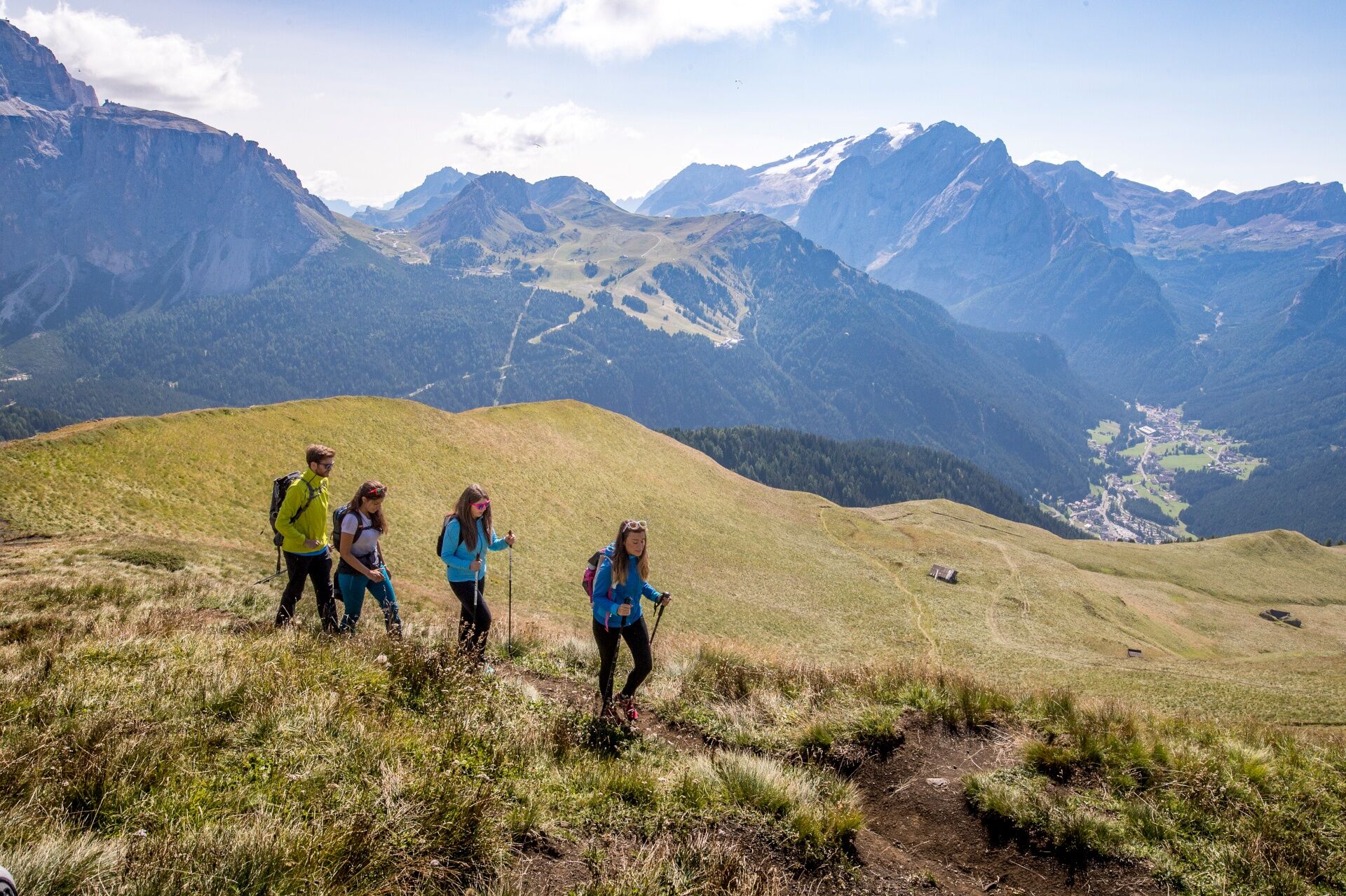
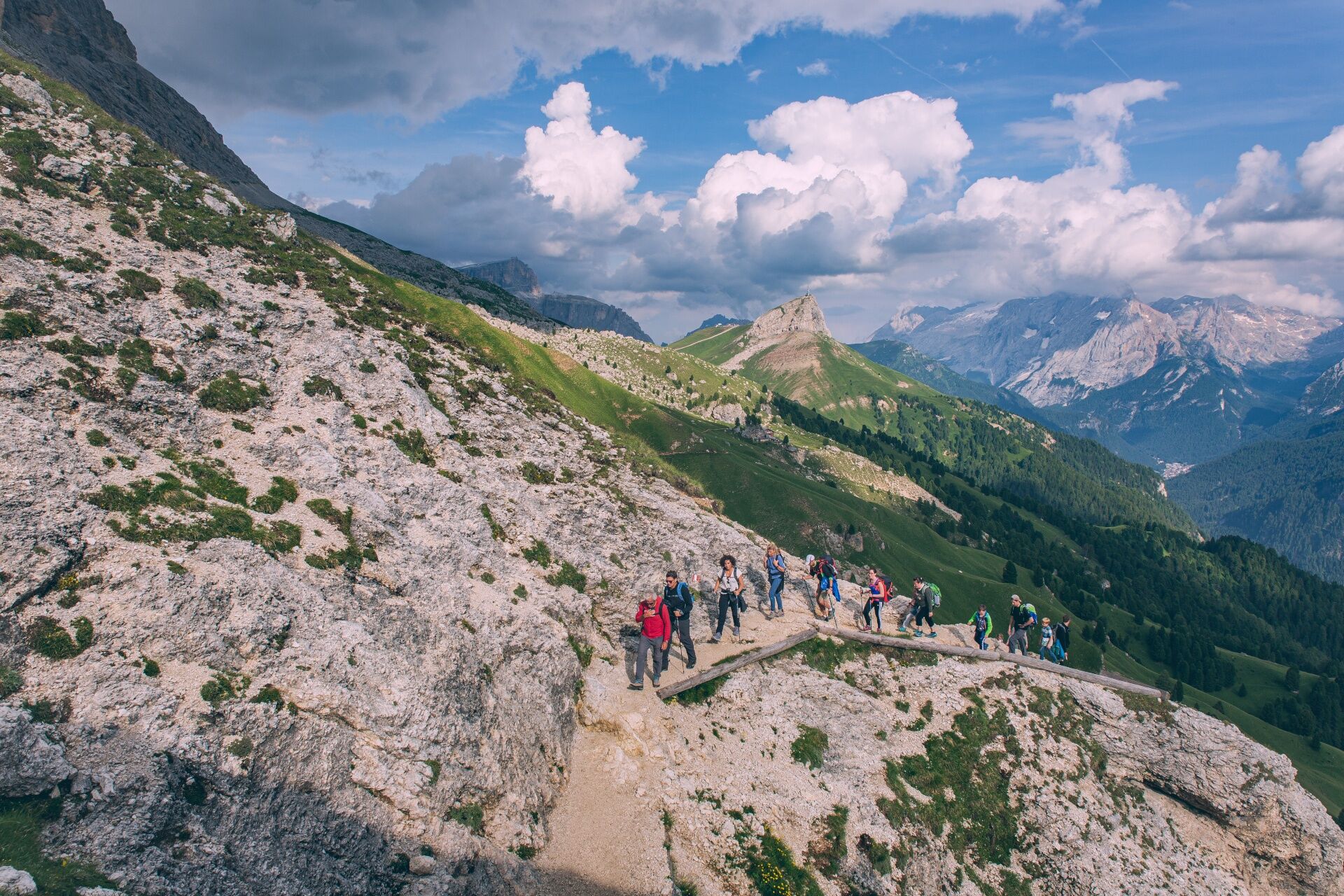
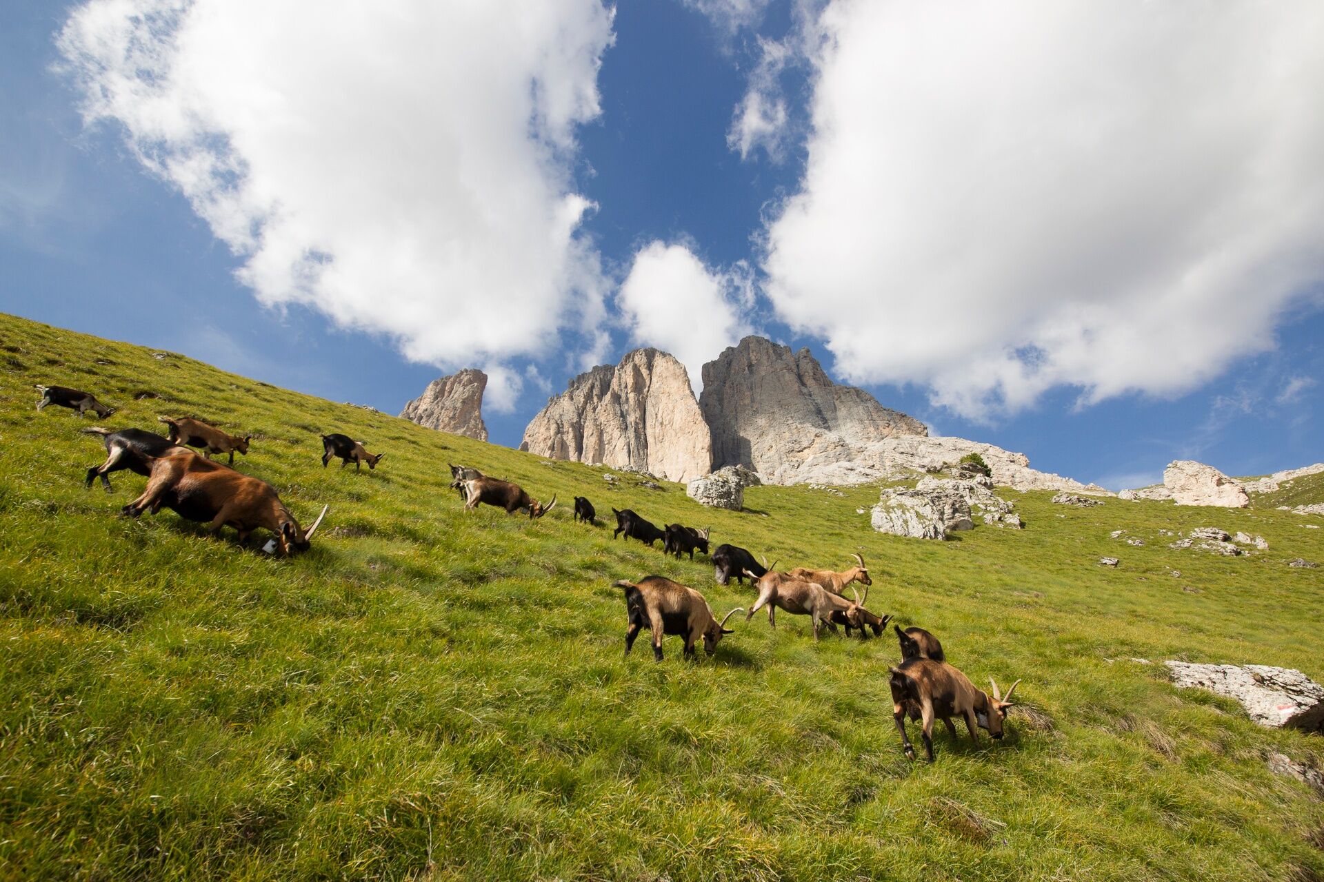
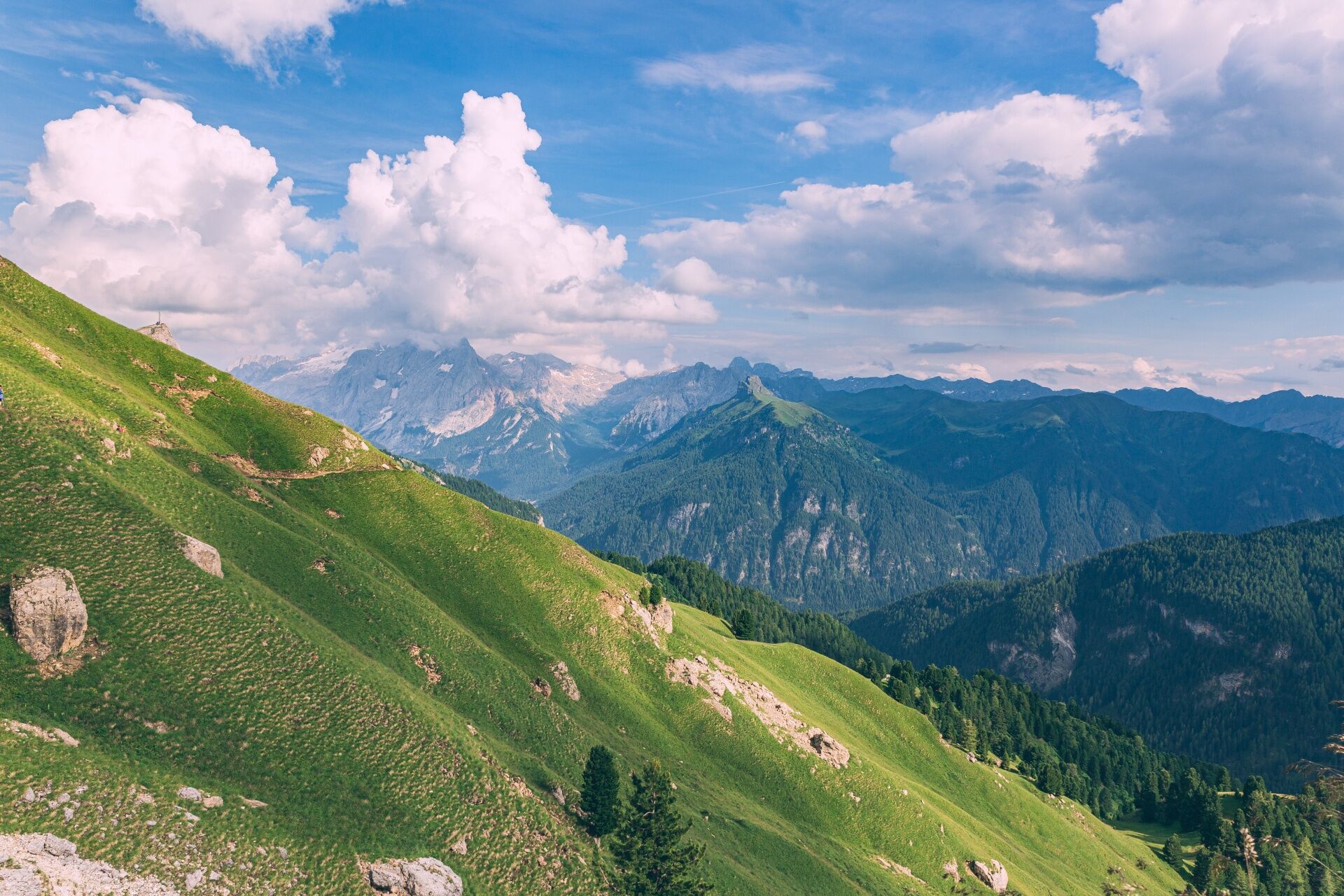
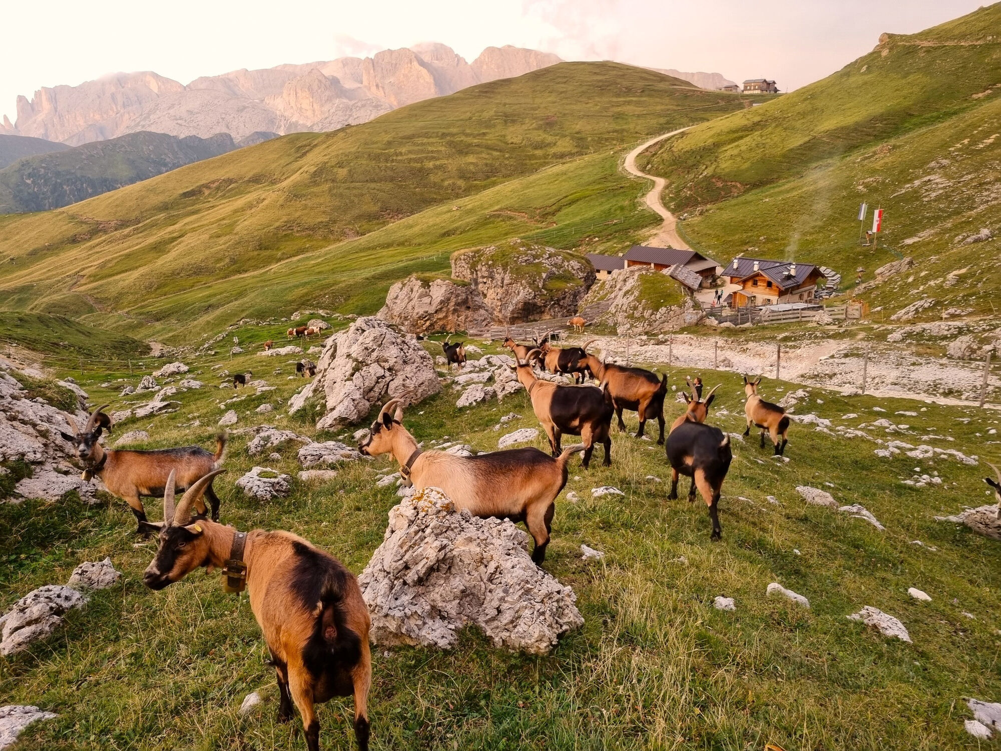
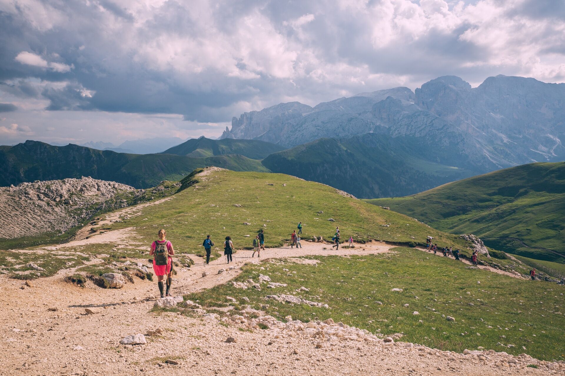
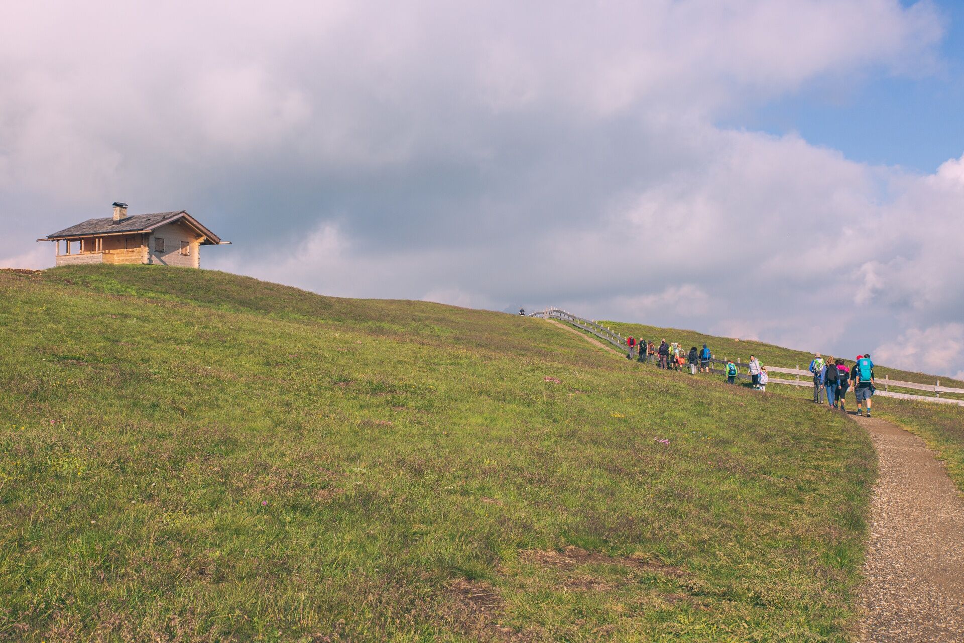
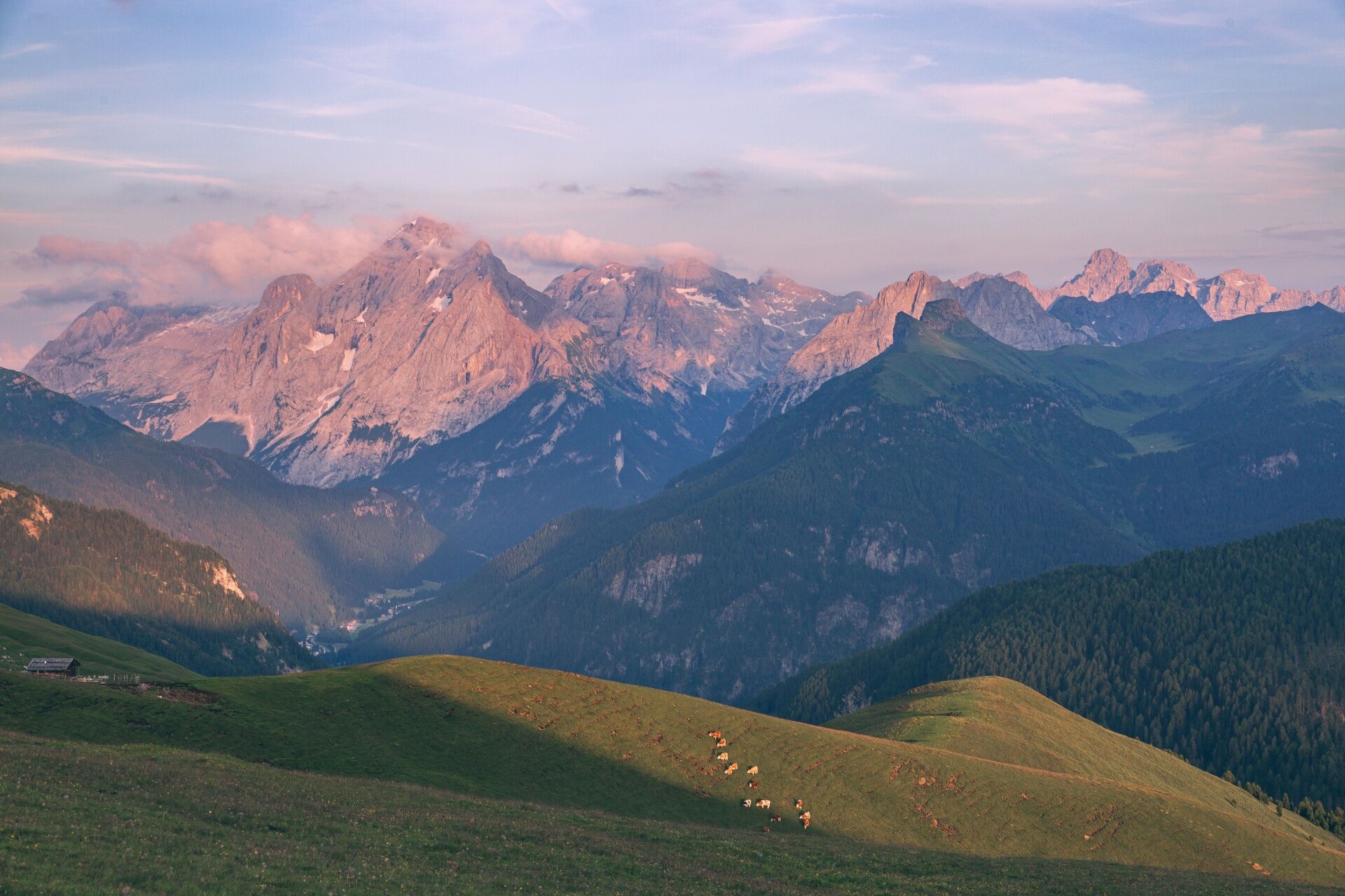
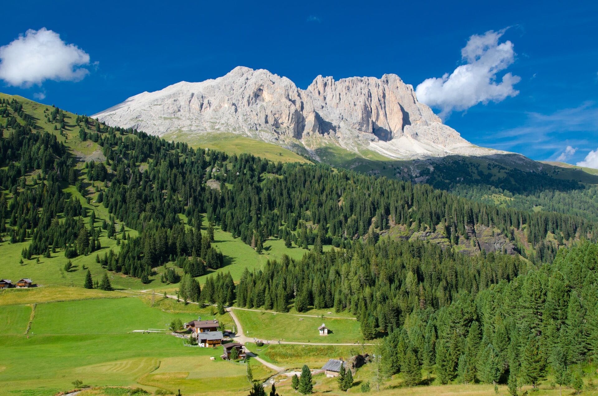
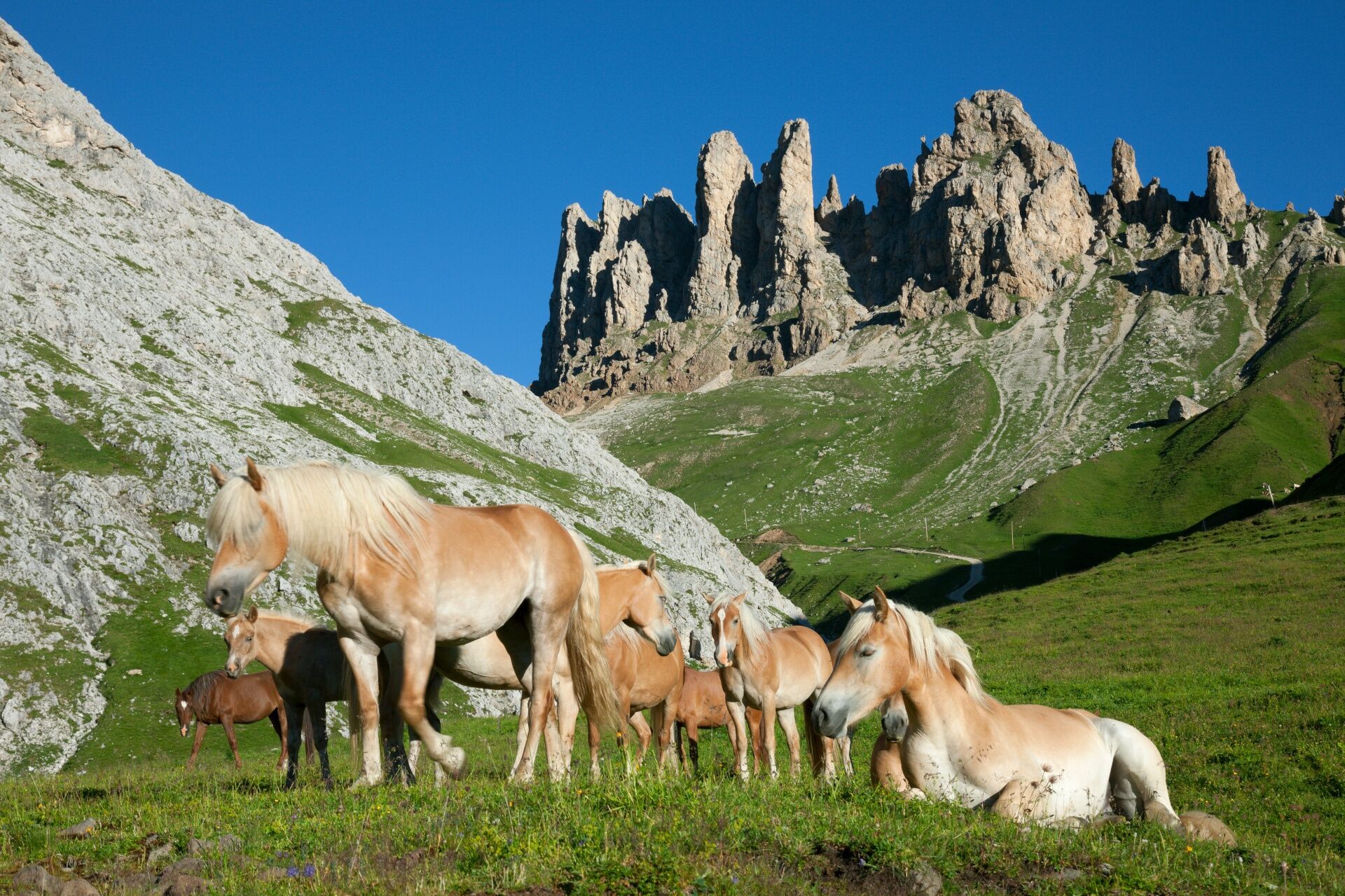
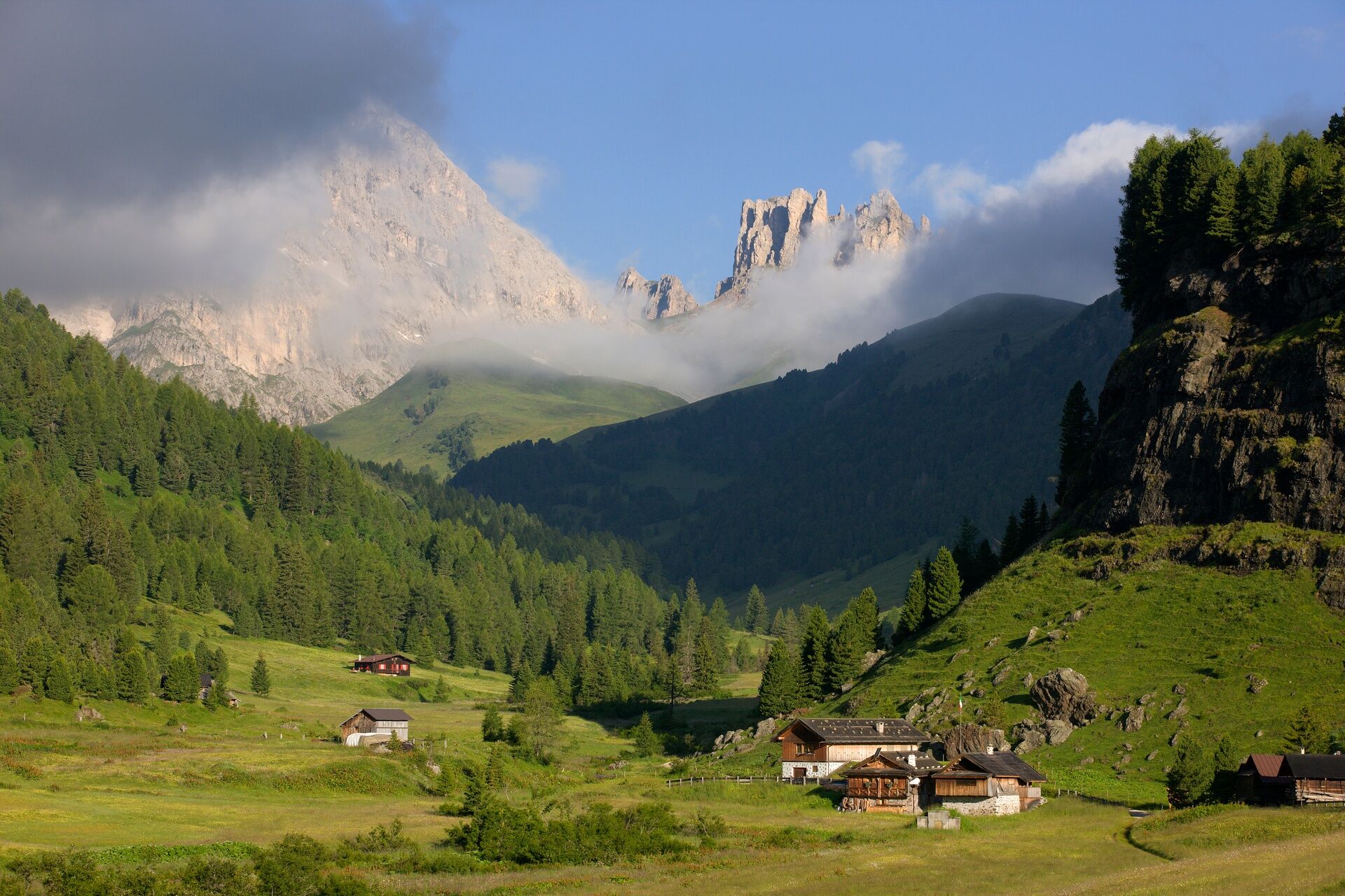
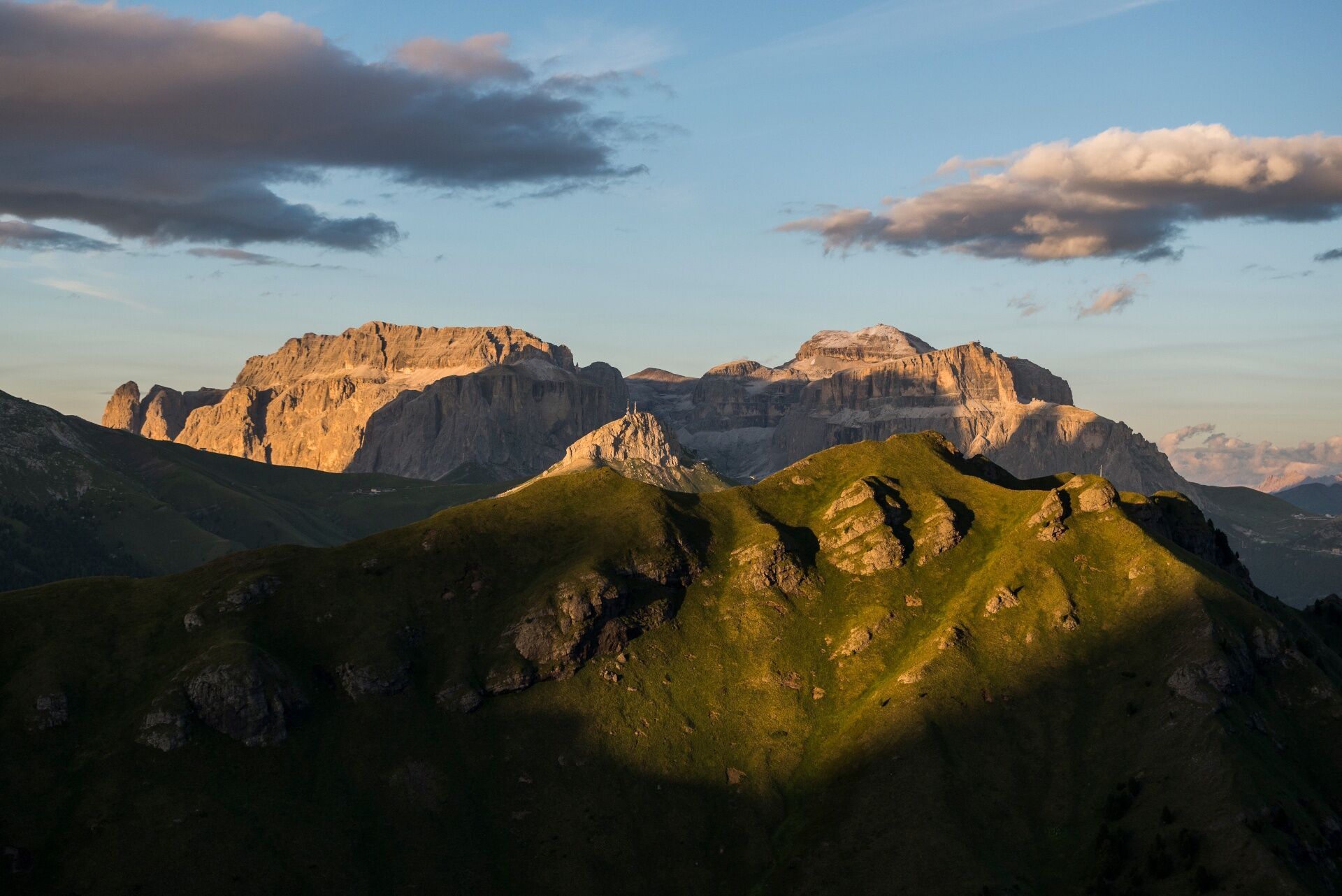
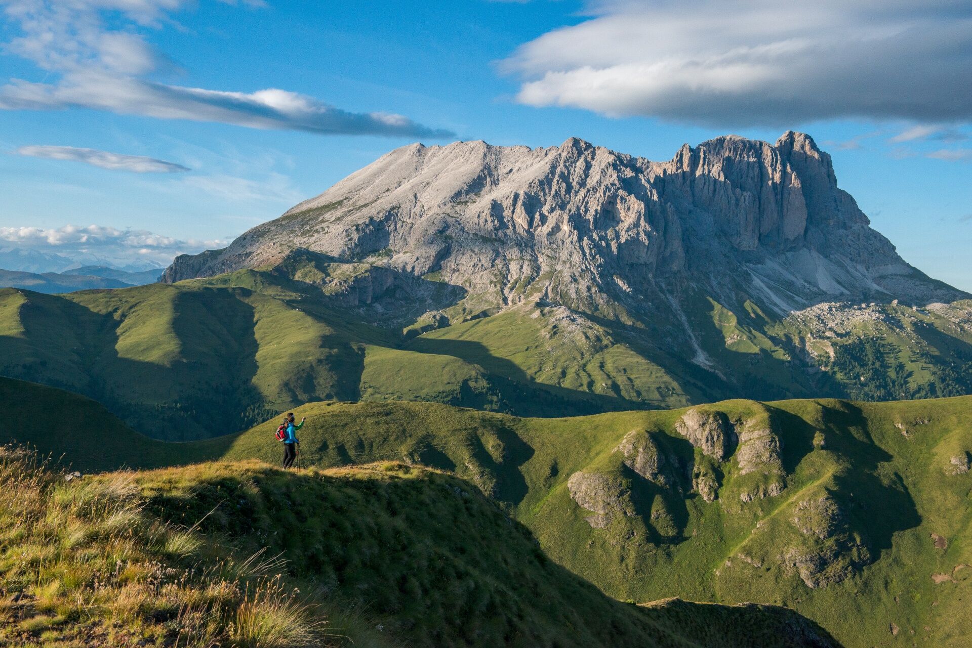

From Col Rodella, descend along path no. 529 and then take path no. 557/557-4, also known as "Friedrich August Weg", in honor of the King of Saxony, an avid botanist.
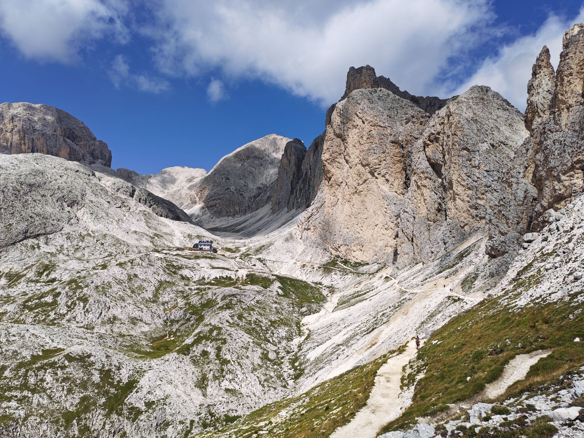
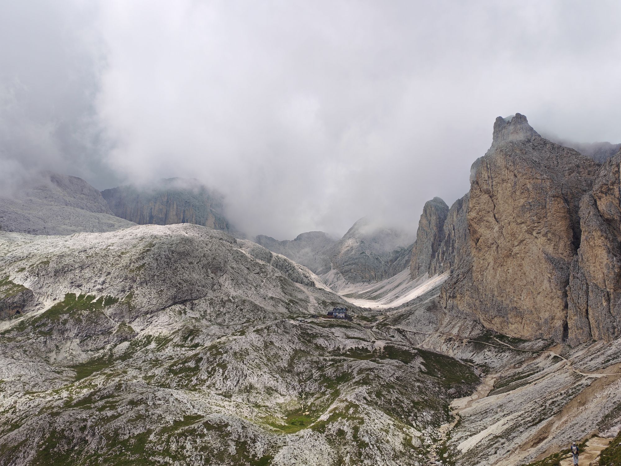
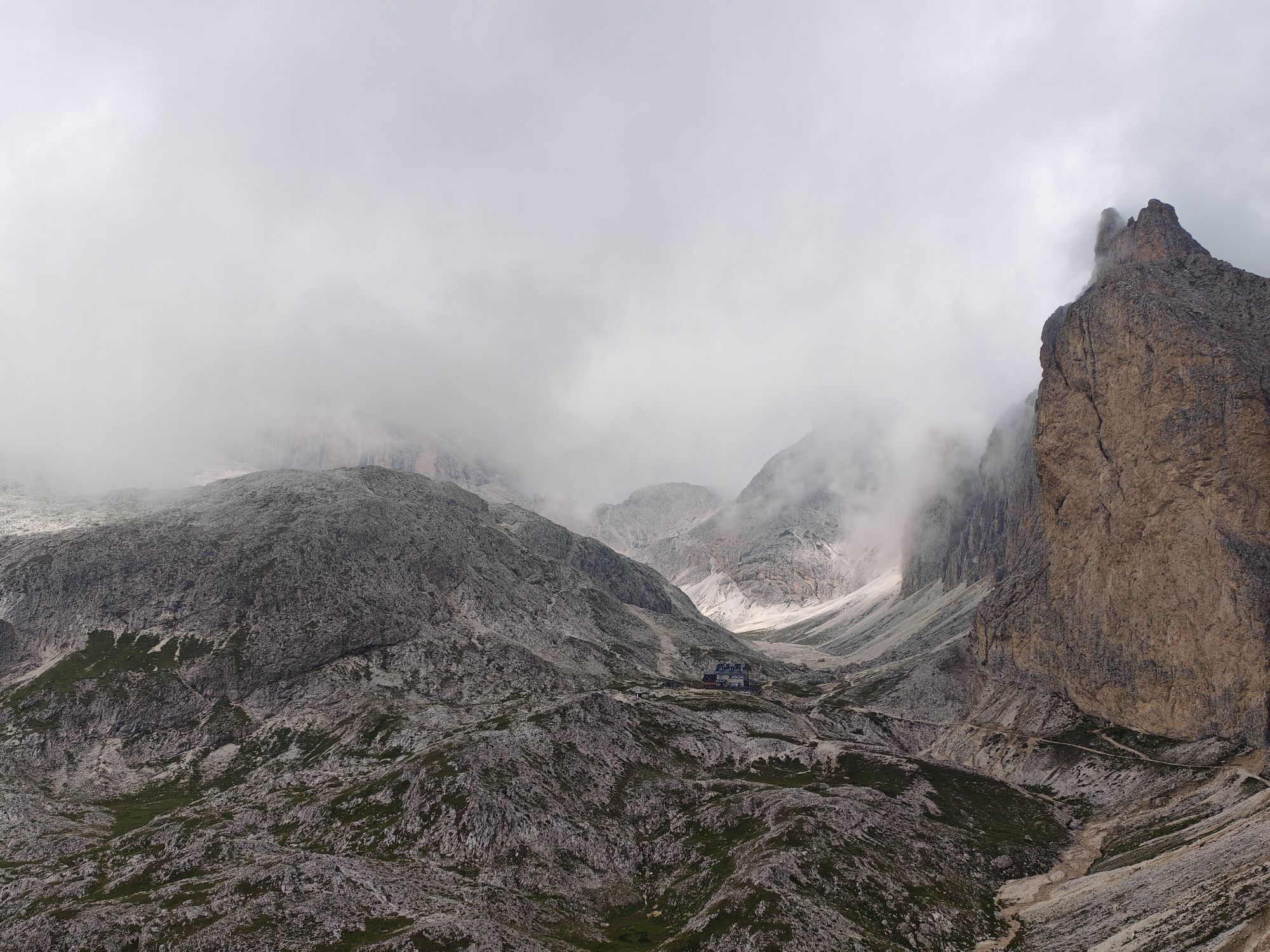
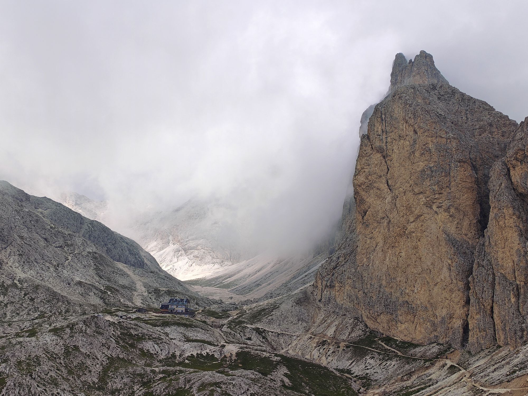
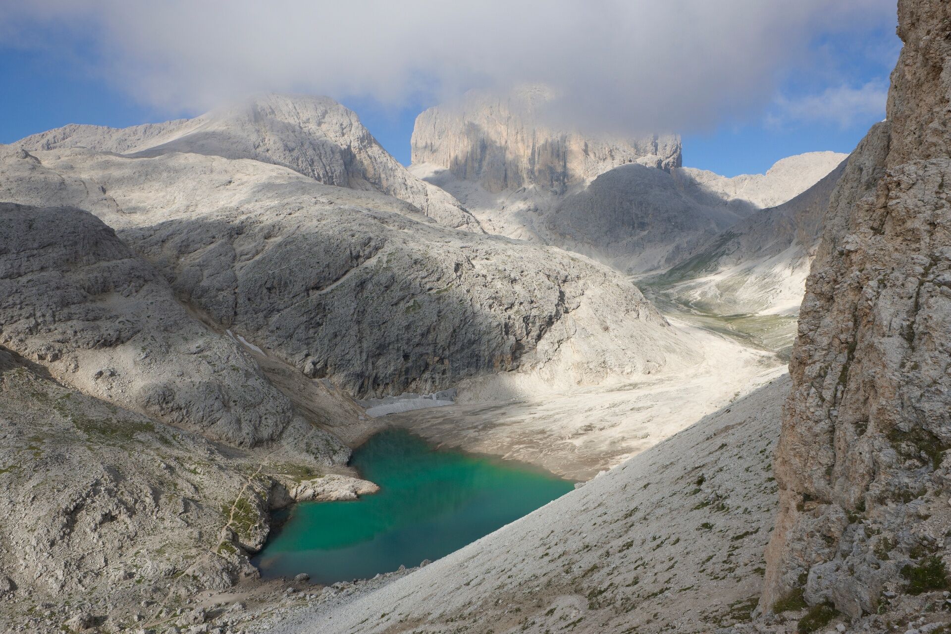
After crossing Passo Ciaréjoles, the path joins trail no. 580 which you take to the right to ascend with steep curves to Passo di Dona. Skirting the southern side of Cima di Dona, you reach Rifugio Antermoia, where an overnight stay is planned. You are in the heart of the Fassa Dolomites which offer a suggestive view of the eastern face of Catinaccio d’Antermoia.
Provide clothing and equipment appropriate to the effort and length of the hike and carry in your backpack what is needed for any emergency situations, along with a minimal first aid kit.
1. Plan the route according to your skills and the weather.
2. Go slow, be cautious, enjoy the view and the silence.
3. Inform someone of your itinerary, return time, and any changes.
4. Rely on mountain professionals.
5. Help those in difficulty. Call 112 only if truly necessary.
6. Make sure you have appropriate clothing and equipment + water and snacks.
7. Respect the environment around you and its inhabitants by carrying waste down to the valley.
8. Follow marked trails avoiding those of the bike park.
9. To protect nature's wonders, leave every element in its place.
10. Bring your animal friend along, but only on a leash.
Main access gates to the valley coming from the A22, Modena-Brenner highway:
exit Ora/Egna, S.S. 48 delle Dolomiti - Passo San Lugano - Val di Fiemme - Val di Fassa (distance km 45). From the Moena ring road (artisan area) towards Canazei exit Bolzano Nord, S.S. 241 Grande Strada delle Dolomiti - Passo Carezza - Vigo di Fassa (distance km 40). From Vigo north toward Canazei, south toward Soraga di Fassa and MoenaOther accesses to Val di Fassa:
from the A27 highway (Venice), exit Belluno/Ponte nelle Alpi, S.S. 203 to Agordo and S.P. 346 Passo San Pellegrino - Moena (Val di Fassa). From the Moena ring road towards Canazei from the A27 highway (Venice), exit Belluno/Ponte nelle Alpi, S.S. 203 to Agordo/Alleghe/Rocca Pietore. S.P. 641 Passo Fedaia - Canazei coming from Arabba, S.S. 48 Passo Pordoi - Canazei from Val Gardena, S.S. 242 Passo Sella - CanazeiPublic transport lines Trentino Trasporti - Val di Fassa:
line no. 101 Canazei - Cavalese - Trento line no. 104 Cavalese - Ora - Trento line no. 123 Moena - Passo San Pellegrino - FalcadePublic transport lines SAD - Val di Fassa:
line no. 180 Vigo di Fassa - Passo Carezza - BolzanoBook the 7-night vacation package! It includes:
6 free and self-guided medium difficulty trekking routes 2 overnight stays in Dolomiti Walking Hotel (first and last night), in double room, with half board 5 overnight stays in refuges, in shared rooms, with half board 1 cotton sleeping bag liner for overnight stays in refuges Panorama Pass, 3 days out of 6, to use the lifts Trail map of Val di FassaVal di Fassa Tourism Board
Strèda Roma, 36
38032 Canazei (TN)
Tel. 0462 609500
info@fassa.com
www.fassa.com
Organized high-altitude trekking of 6 days, from refuge to refuge, to discover on foot the most beautiful peaks of the Fassa Dolomites.
The itinerary is carried out in 6 stages along well-marked CAI-SAT paths. From any point you can descend to the valley and, thanks to shuttle services, lifts, or local public transport, easily return to the starting location.
Webové kamery z prehliadky
-
Ciampinoi
-
Plan de Gralba
-
Col dei Rossi
-
Ciampedie - Rosengarten
-
Ciampedie - Rosengarten
-
Ciampedie - Rosengarten
-
Ciampedie - Rosengarten
-
Val Gardena - Ciampinoi
-
Val Gardena - Citta dei Sassi
-
Ciampedie - Rosengarten
-
Ciampedie - Rosengarten
-
Ciampedie - Rosengarten
-
Canazei - Col dei Rossi
-
Canazei - Col dei Rossi
-
Canazei - Col dei Rossi
-
Canazei - Col dei Rossi
-
Canazei - Col dei Rossi
-
Canazei - Col dei Rossi
-
Canazei - Col dei Rossi
-
Canazei - Col dei Rossi
-
Ciampinoi
-
Piz Sella
-
Florianlift Bergstation
-
Canazei - Col dei Rossi
-
Canazei - Col dei Rossi
-
Canazei - Col dei Rossi
-
Canazei - Col dei Rossi
-
Canazei - Col dei Rossi
-
Passo Sella - Hotel Maria Flora
-
Passo Sella - Hotel Maria Flora
-
Passo Sella - Hotel Maria Flora
-
Passo Sella - Hotel Maria Flora
-
Passo Sella - Hotel Maria Flora
-
Passo Sella - Hotel Maria Flora
-
Passo Sella - Hotel Maria Flora
-
Passo Sella - Hotel Maria Flora
-
Sass Pordoi - Altopiano del Boe
-
Sass Pordoi - Altopiano del Boe
-
Sass Pordoi - Altopiano del Boe
-
Sass Pordoi - Altopiano del Boe


Obľúbené výlety v okolí
-
4,8
The Munkelweg trail beneath the Geisler peaks
strednáTuristika 9,11 km -
4,1
Der Friedrich-August-Weg
strednáTuristika 10,4 km -
4,8
Pordoi Pass - Sass Pordoi - Forcella Pordoi - Piz Boè - Boè Refuge - Forcella Pordoi - Pordoi Pass
ťažkéTuristika 8,39 km -
5,0
Langkofel Klettersteig/Ferrata Furcela de Saslonch
ťažkéVia ferrata 7,07 km -
5,0
Um den Langkofel
strednáTuristika 9,76 km -
4,4
Viel dal pan
svetloTuristika 6,60 km -
4,9
Lang- und Plattkofel Umrundung
strednáTuristika 17,5 km -
4,8
Schlern Bersteigung
strednáTuristika 19,1 km -
4,8
Santnerpass Klettersteig
strednáVia ferrata 8,29 km -
4,8
Langkofel-Umrundung
strednáTuristika 12,9 km

Turistika a stopovanie


Nenechajte si ujsť ponuky a inšpiráciu na ďalšiu dovolenku
Vaša e-mailová adresa bol pridaný do poštového zoznamu.





