







From Domegge to Refuge Padua
Úroveň náročnosti: S3
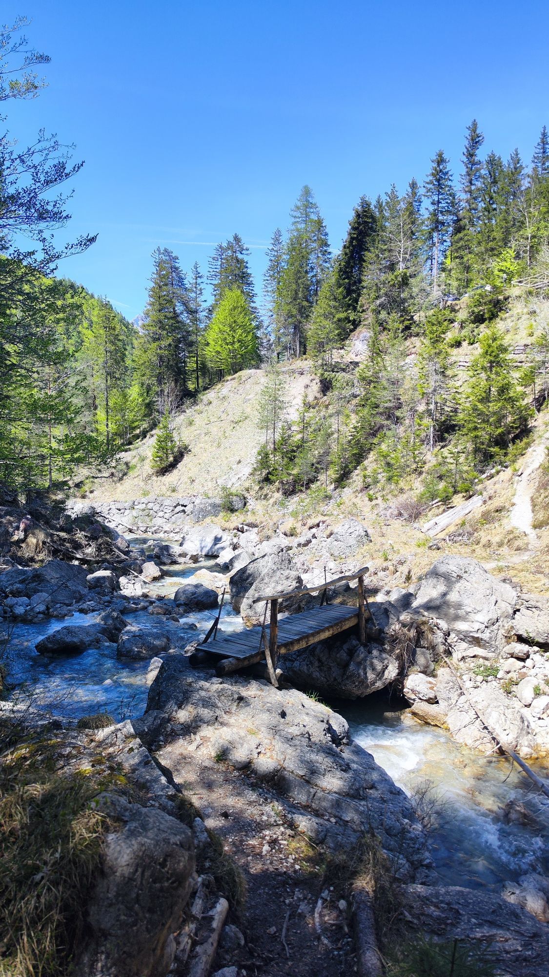
The itinerary starts from the center of Domegge di Cadore and develops in the direction of the village of Vallesella, crossing an environment that alternates between urban landscape and natural views of...
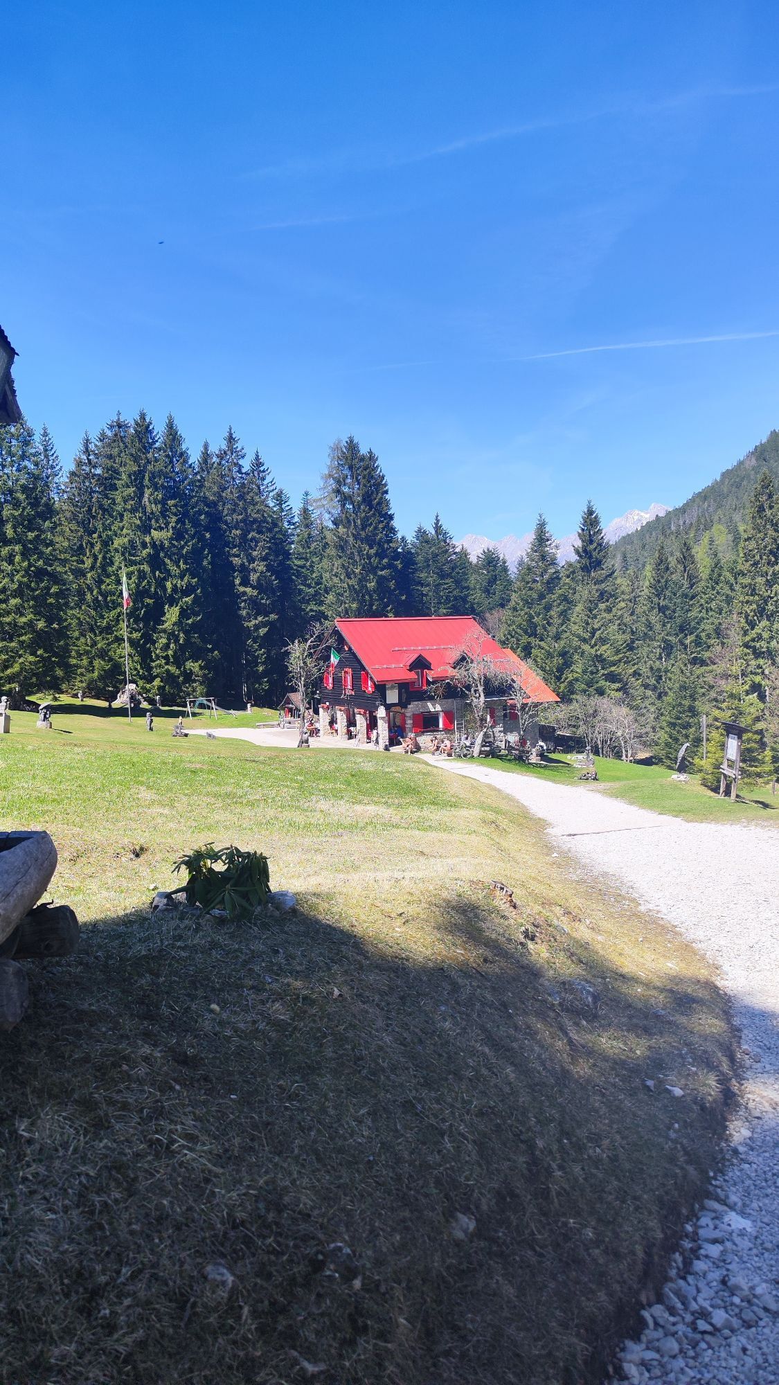
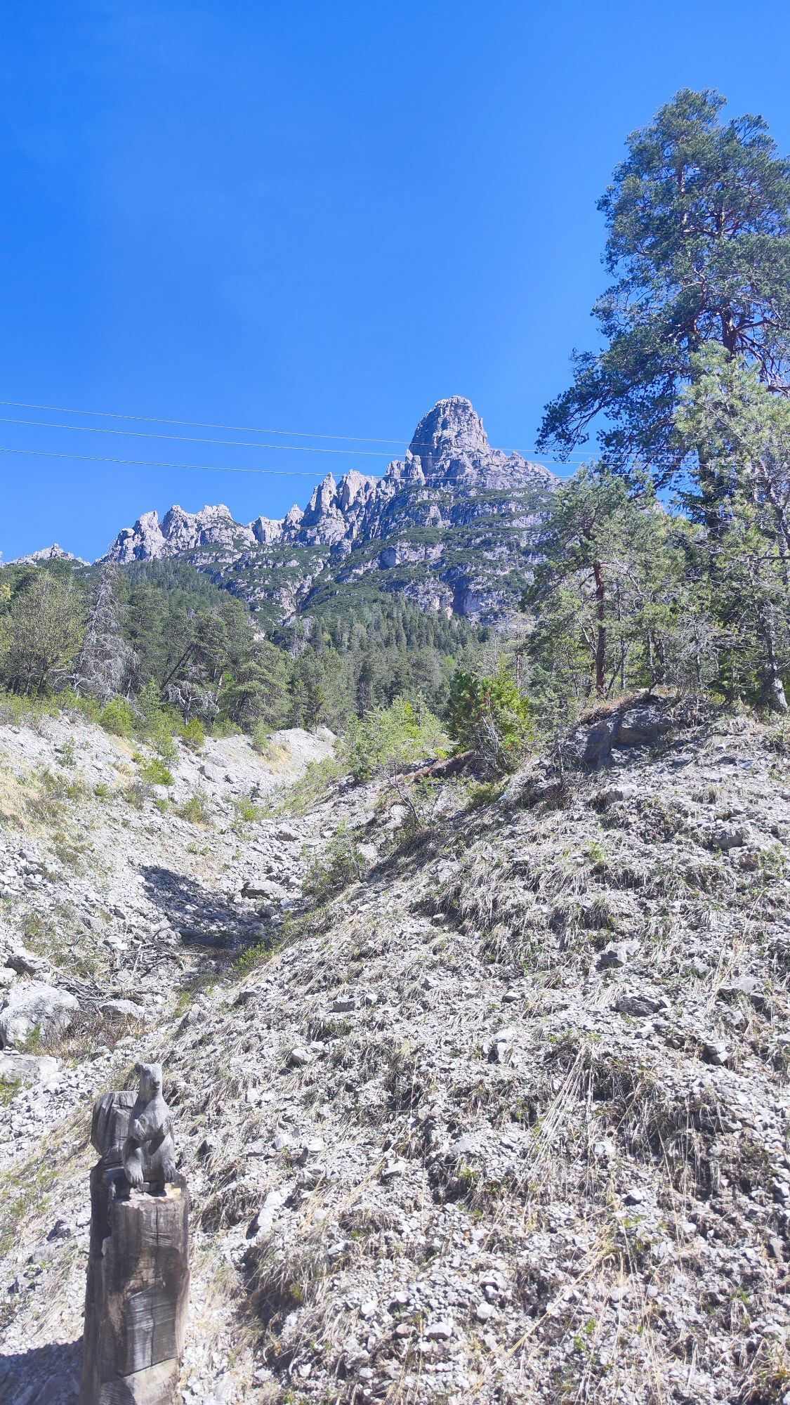
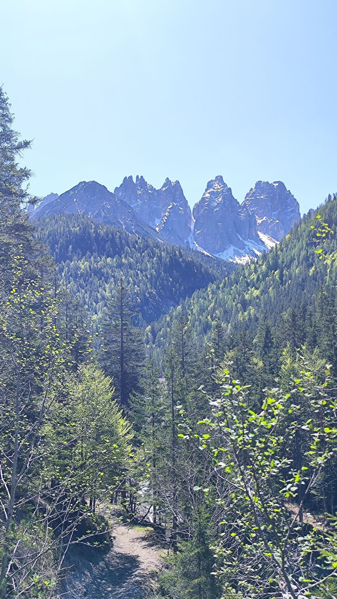
The ascent continues in the direction of Rifugio Padova, located in a panoramic position at the foot of the spectacular Spalti di Toro chain, a mountain group characterized by impressive rock walls and a wild environment. The refuge represents the end point of the hike and is ideal for a rejuvenating stop, with opportunities for refreshments and immersion in an authentic alpine setting.
After the break, the return is along the same route, allowing you to appreciate the views of the lake and valley with a different perspective. A hike suitable for hikers with a minimum of training, perfect for those seeking an accessible experience but immersed in the nature of Cadore.


From the center of Domegge di Cadore you reach Vallesella. Cross the bridge over the Centro Cadore Lake and follow the signs to the Padova Refuge. You climb along the road to the refuge at the foot of the Spalti di Toro. The return is along the same route to Domegge.
Áno
Hiking boots or shoes with lugged soles, layered clothing, windproof/waterproof jacket, backpack with water and snacks, hat, sunglasses, sunscreen, map or GPS.
Always check the weather conditions before setting off and assess your level of training.
From Venice one travels:
A27 Venice-Belluno
Belluno exit, then SS51 of Alemagna towards Cadore/Cortina
Average time:
about 2 hours and 30 minutes
The routes connect:
Belluno Calalzo Domegge di Cadore Cortina d'AmpezzoThere are parking areas near the shelter where you can leave your car before starting any walks in the surrounding area.
S3
Stop at Rifugio Padova for views of the Spalti di Toro and the view of Lake Centro Cadore.
Získajte prehľad
Vždy naživo na mieste s viac ako 9 500 webovými kamerami. bergfex Ako používateľ Pro si teraz môžete pozrieť príslušné webové kamery pre mnohé zájazdy v aplikácii zájazdy z. Môžete si tak priamo prezerať aktuálne podmienky.
Obľúbené výlety v okolí
-
5,0
Campanile di Val Montanaia a Bivacco Perugini
strednáTuristika 2,76 km -
5,0
Val d’oten
svetloTuristika 5,99 km -
4,0
Mounts Bivera and Clap Savon from Casera Razzo, alpine ride
ťažkéTuristika 20,5 km -
Anello delle Dolomiti Friulane 3 Rifugio Pordenone - Rifugio Padova
strednáTuristika 7,04 km -
Loop of the Friulian Dolomites from Forni di Sopra
strednádiaľková pešia trasa 34,7 km -
4,5
GALVANA TRAIL
ťažkéTuristika 12,2 km -
5,0
Rifugio Flaiban Pacherini and Passo di Suola
strednáTuristika 14,3 km -
Urtisiel and Canpuros, Dolomitic wonders
strednáTuristika 13,5 km -
LONG LOOP ALONG THE TAGLIAMENTO RIVER
svetloTuristika 10,2 km -
BIVACCO MARCHI-GRANZOTTO DA FORNI DI SOPRA
ťažkéTuristika 10,3 km

Turistika a stopovanie


Nenechajte si ujsť ponuky a inšpiráciu na ďalšiu dovolenku
Vaša e-mailová adresa bol pridaný do poštového zoznamu.





