






"Dolomites Bike Day"

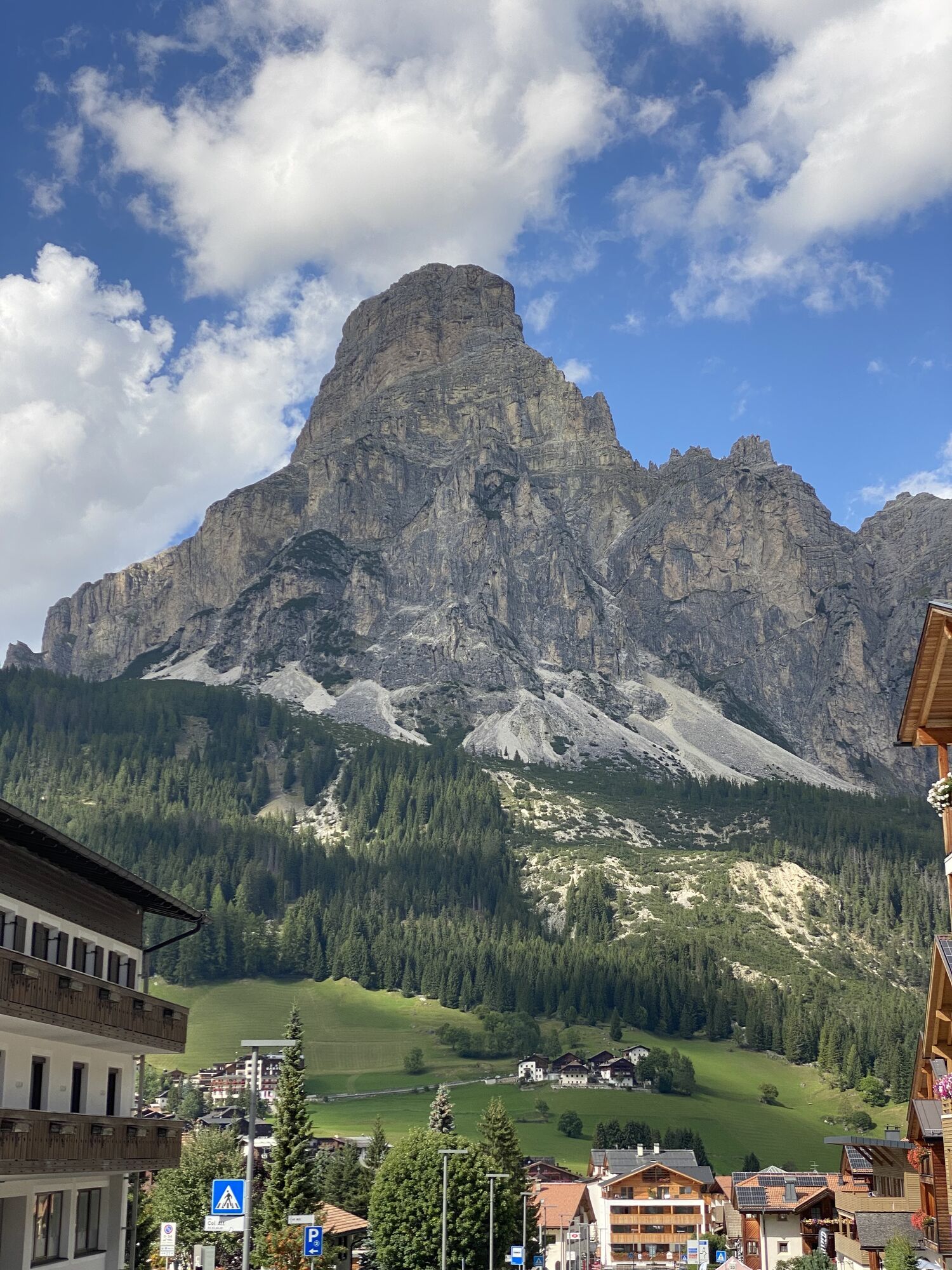
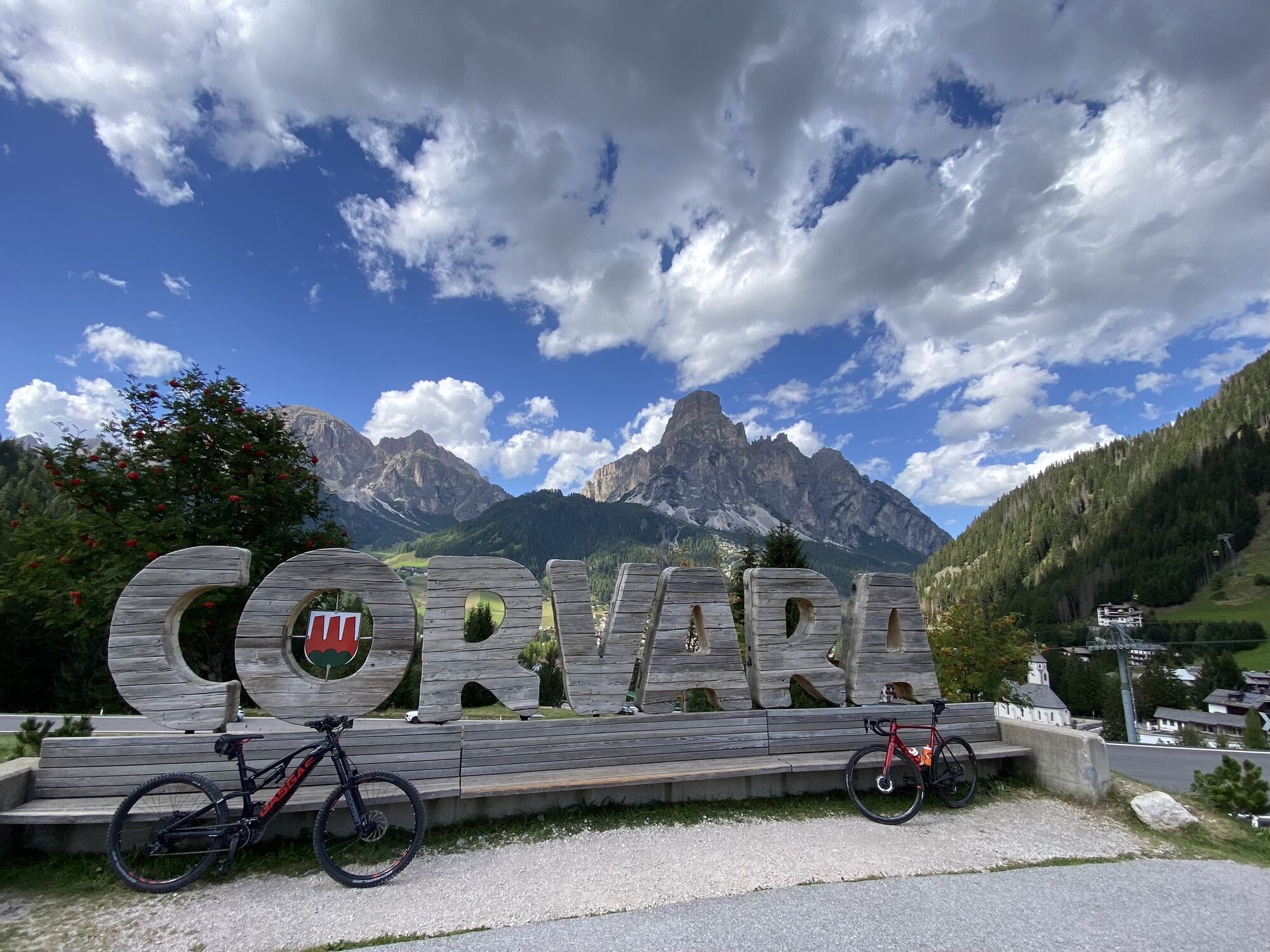
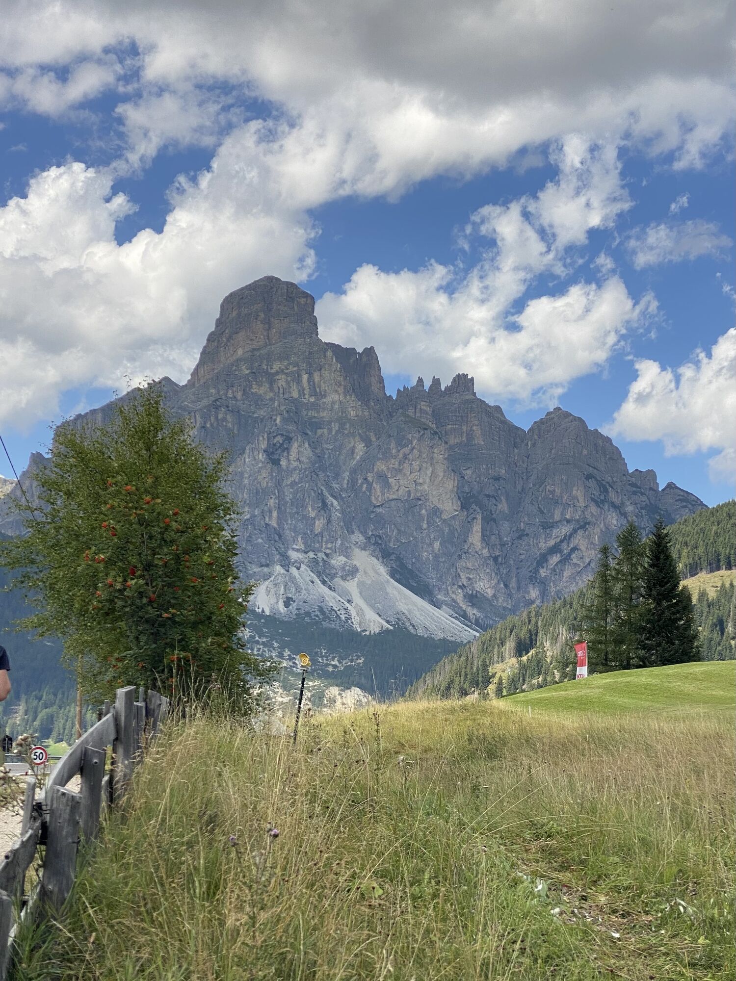
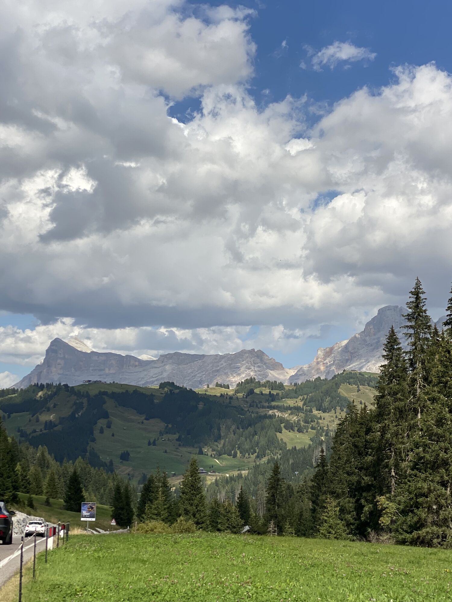
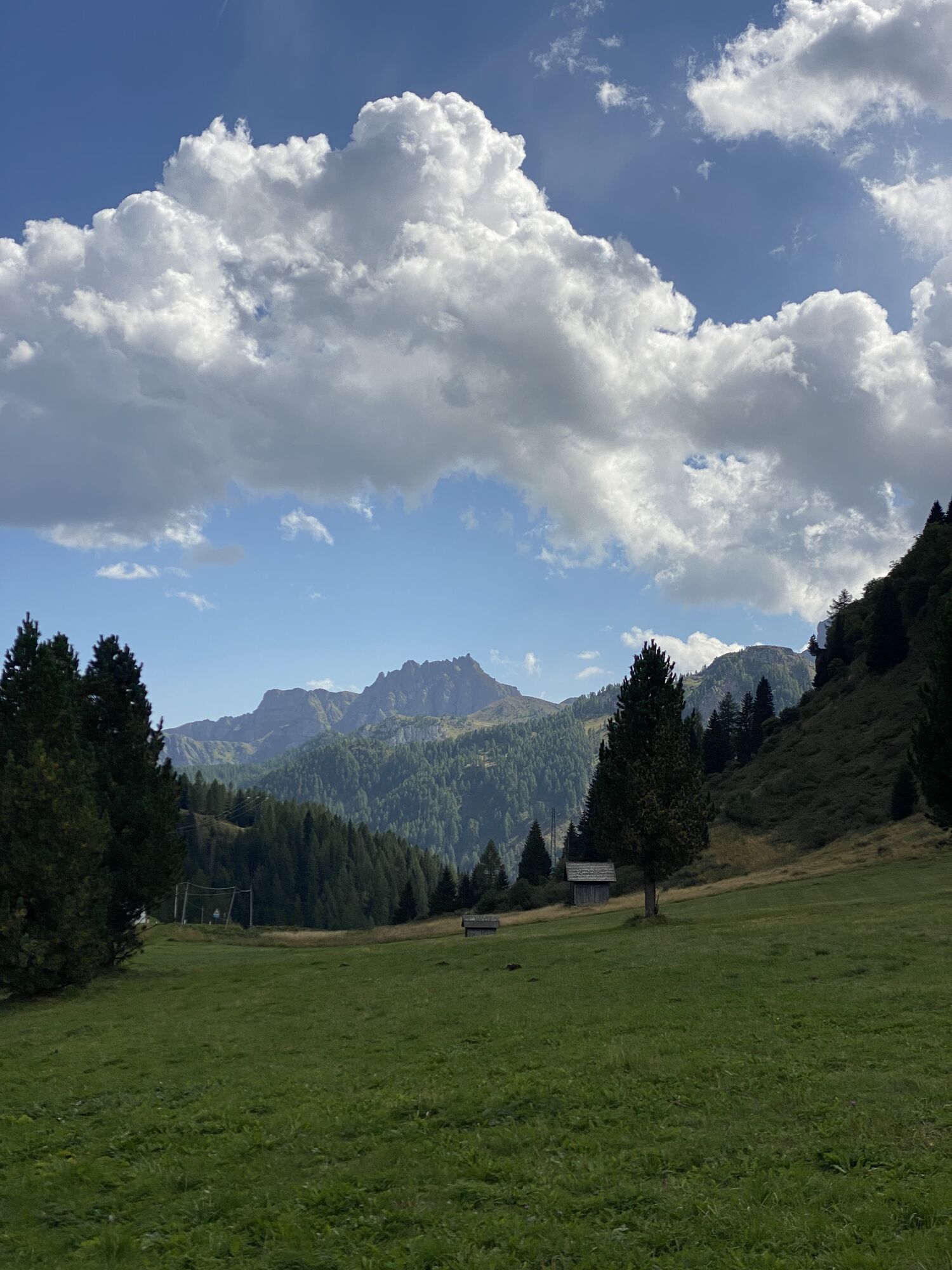
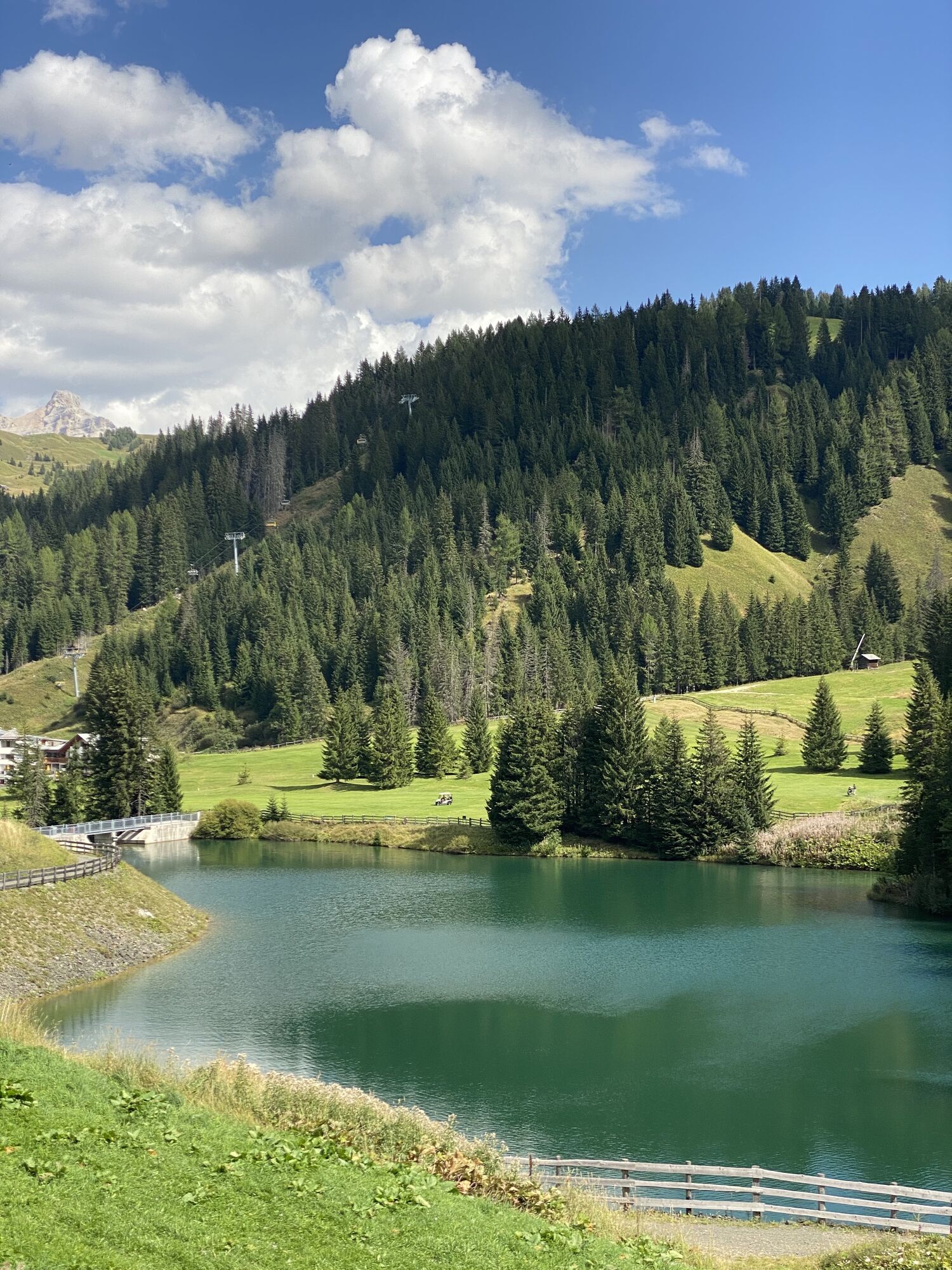
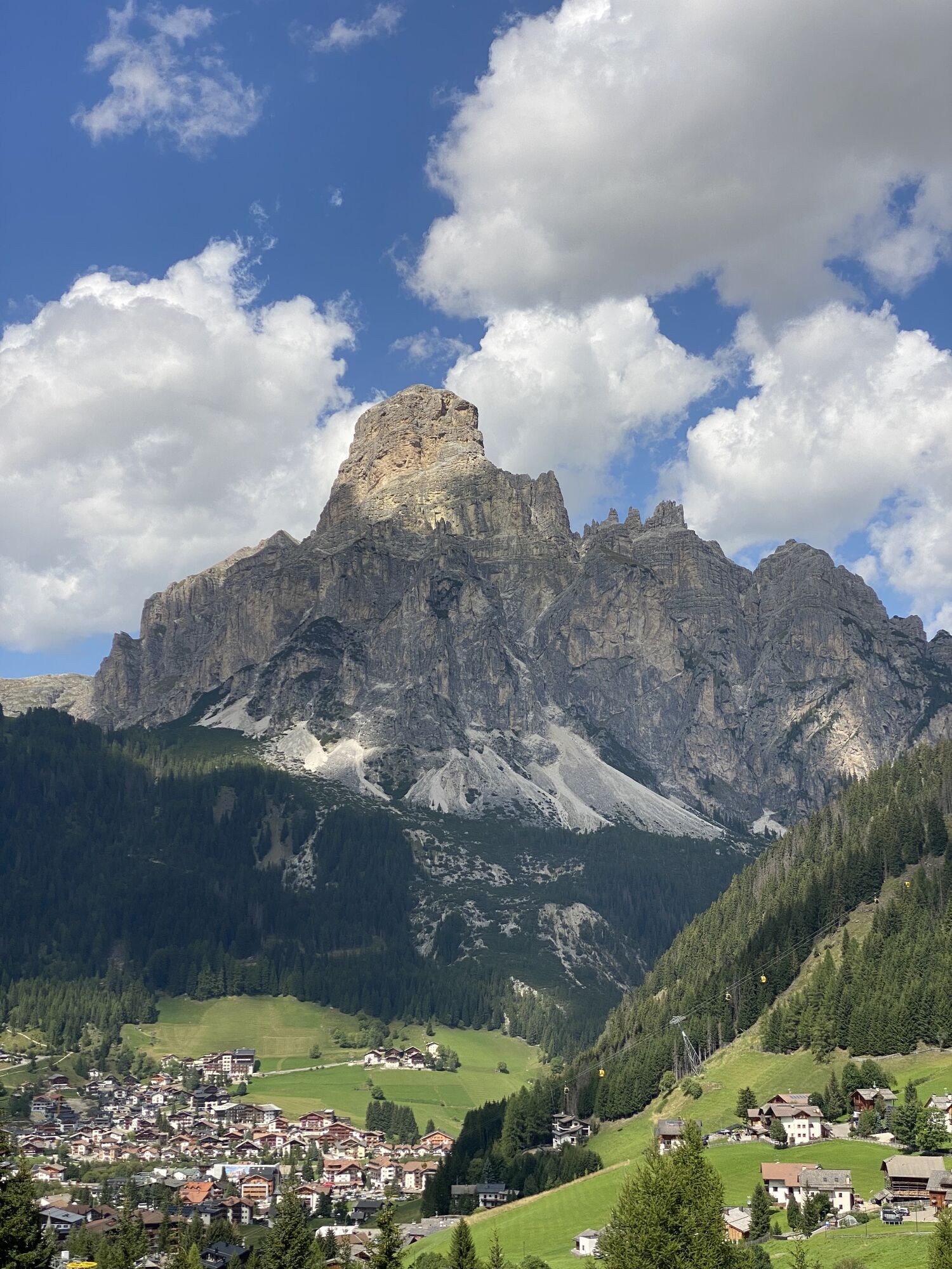
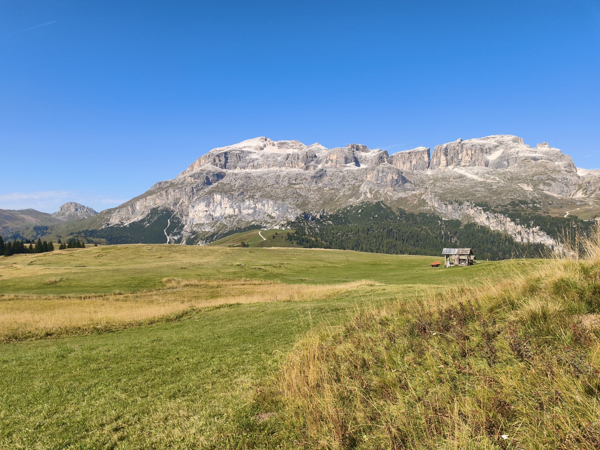
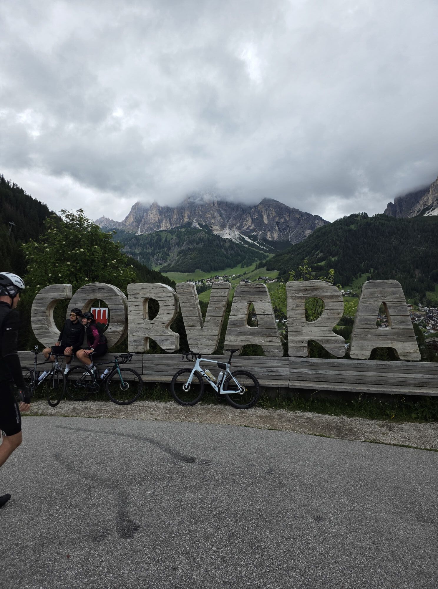
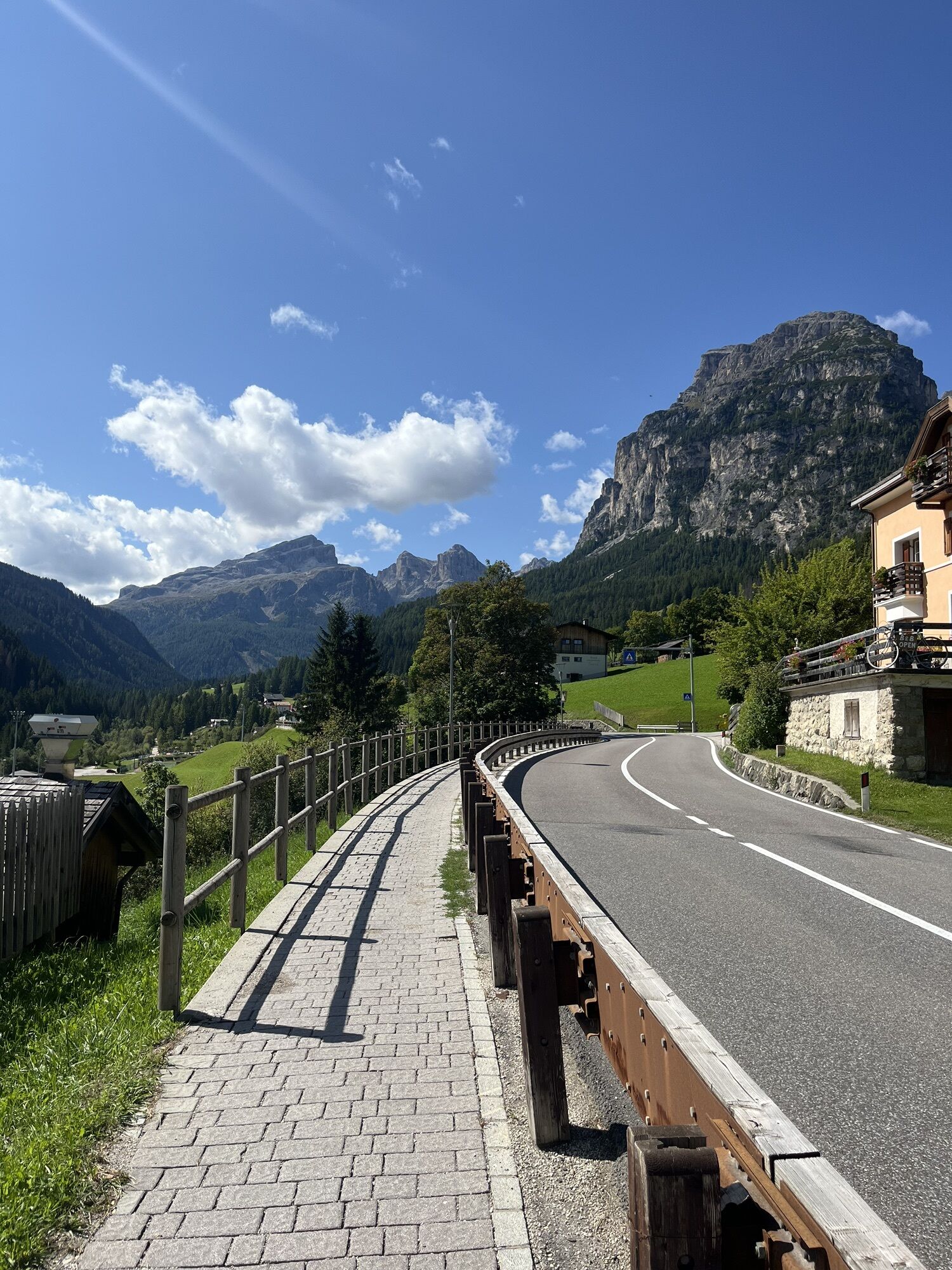
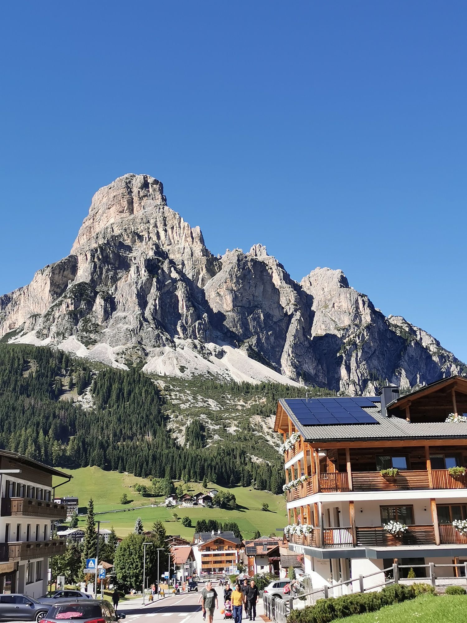
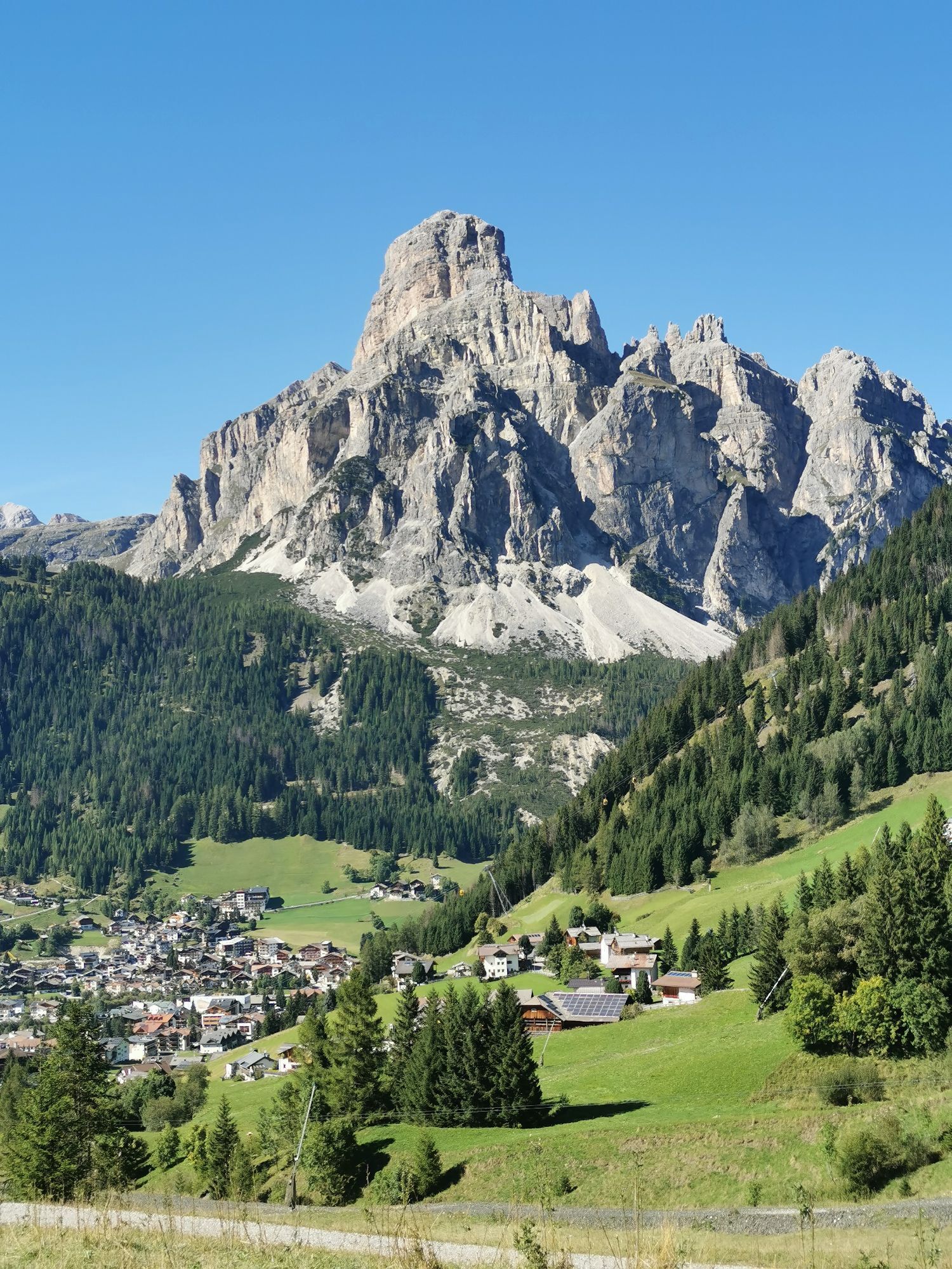
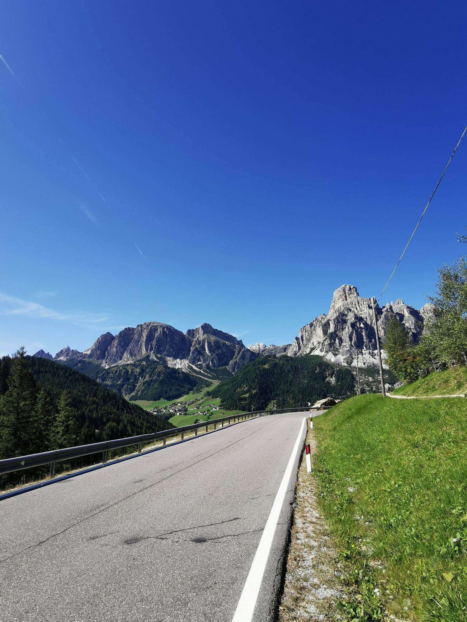
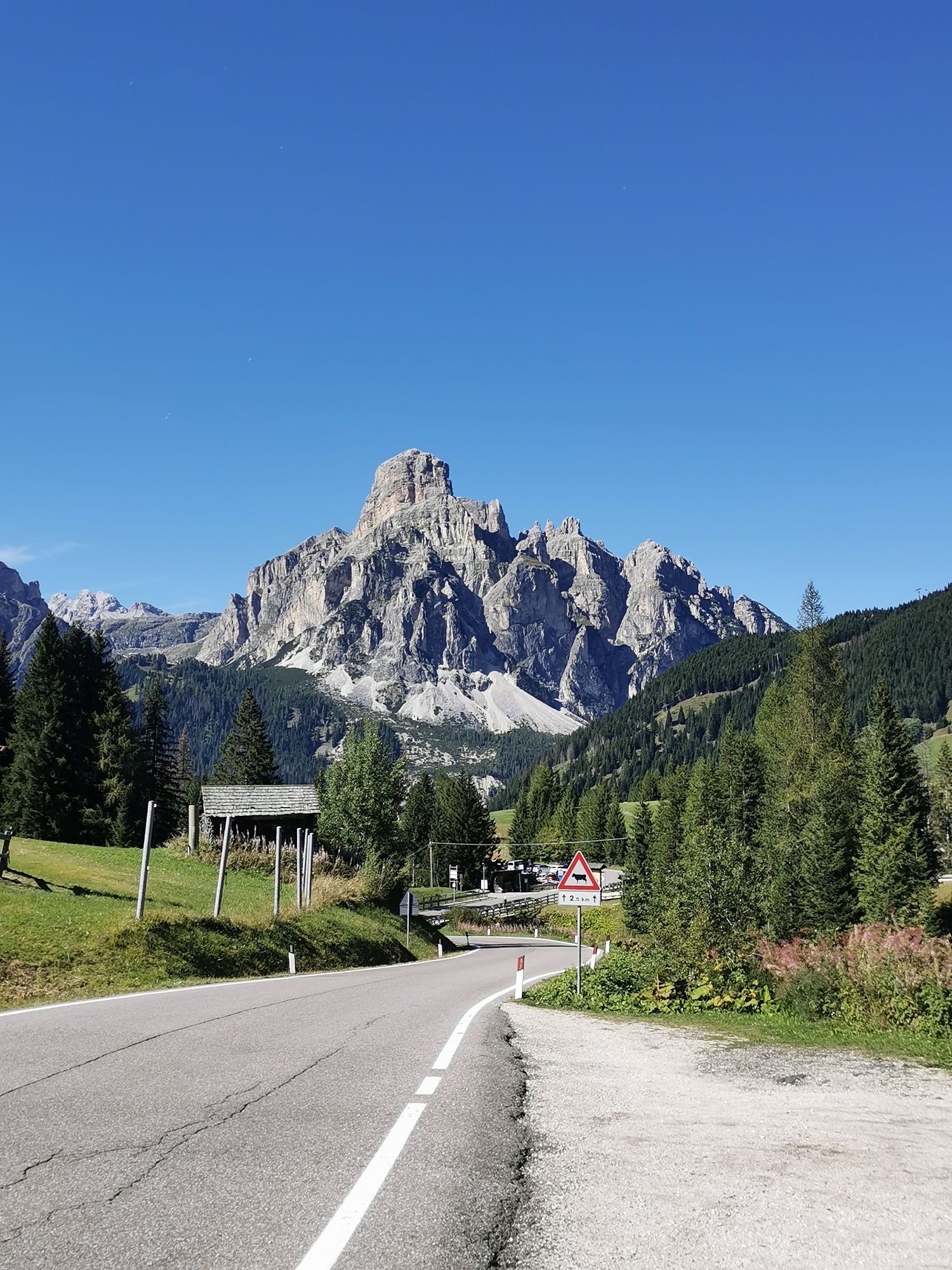
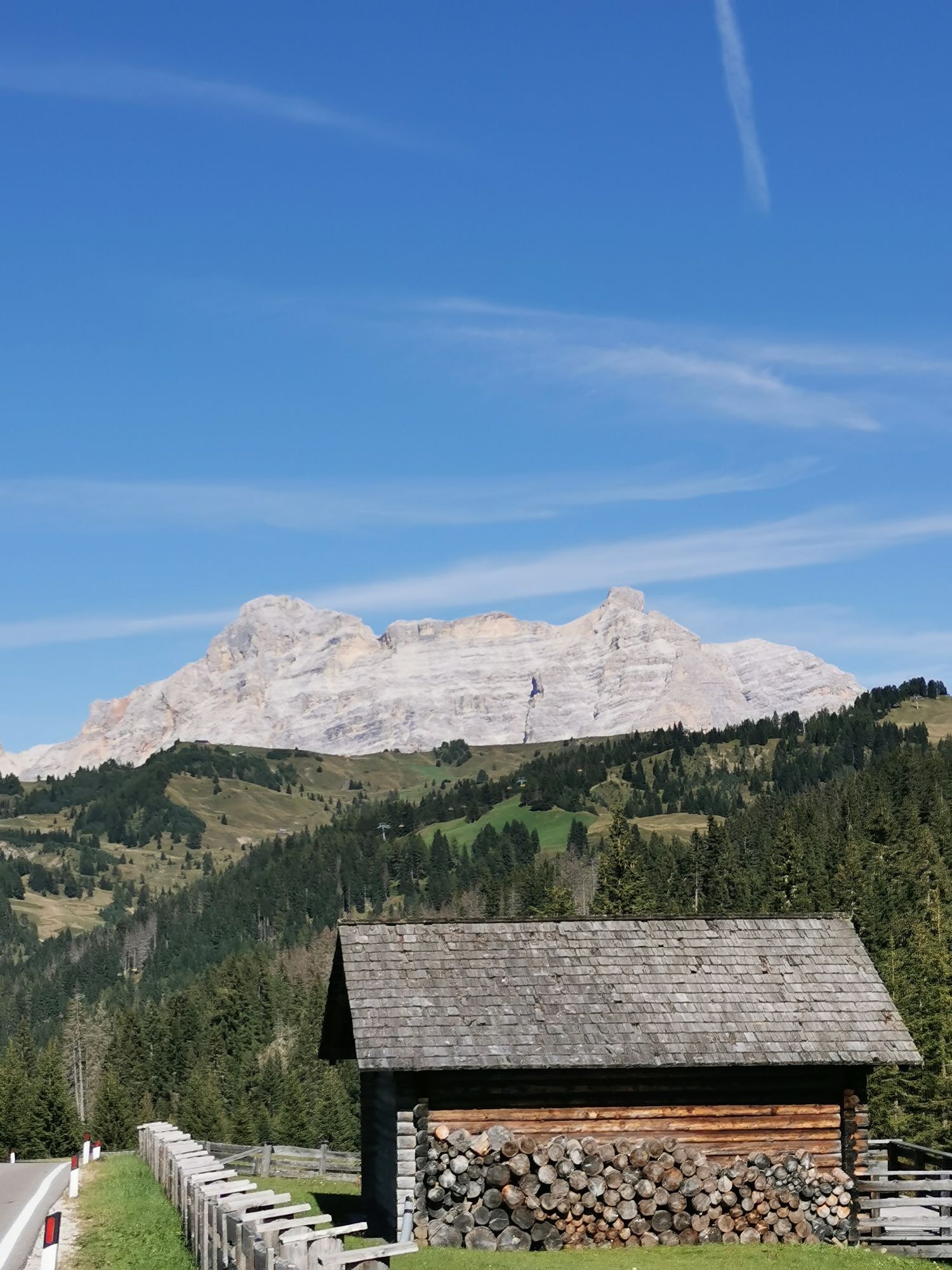
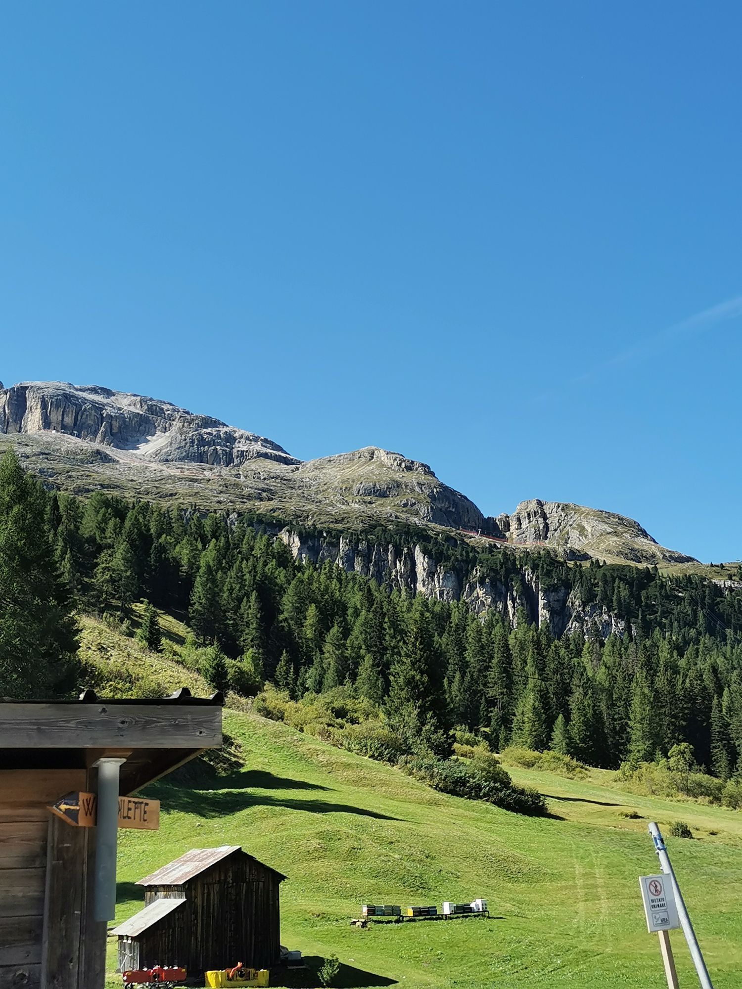
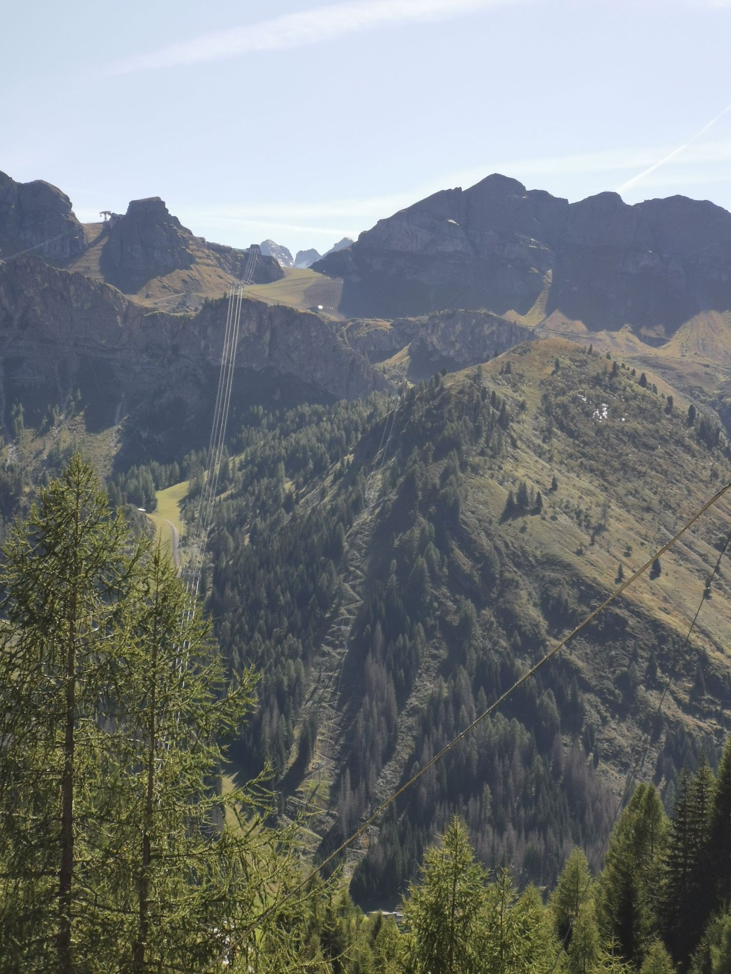
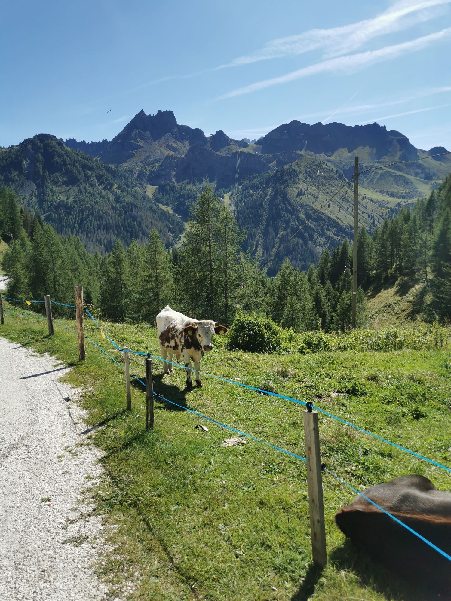
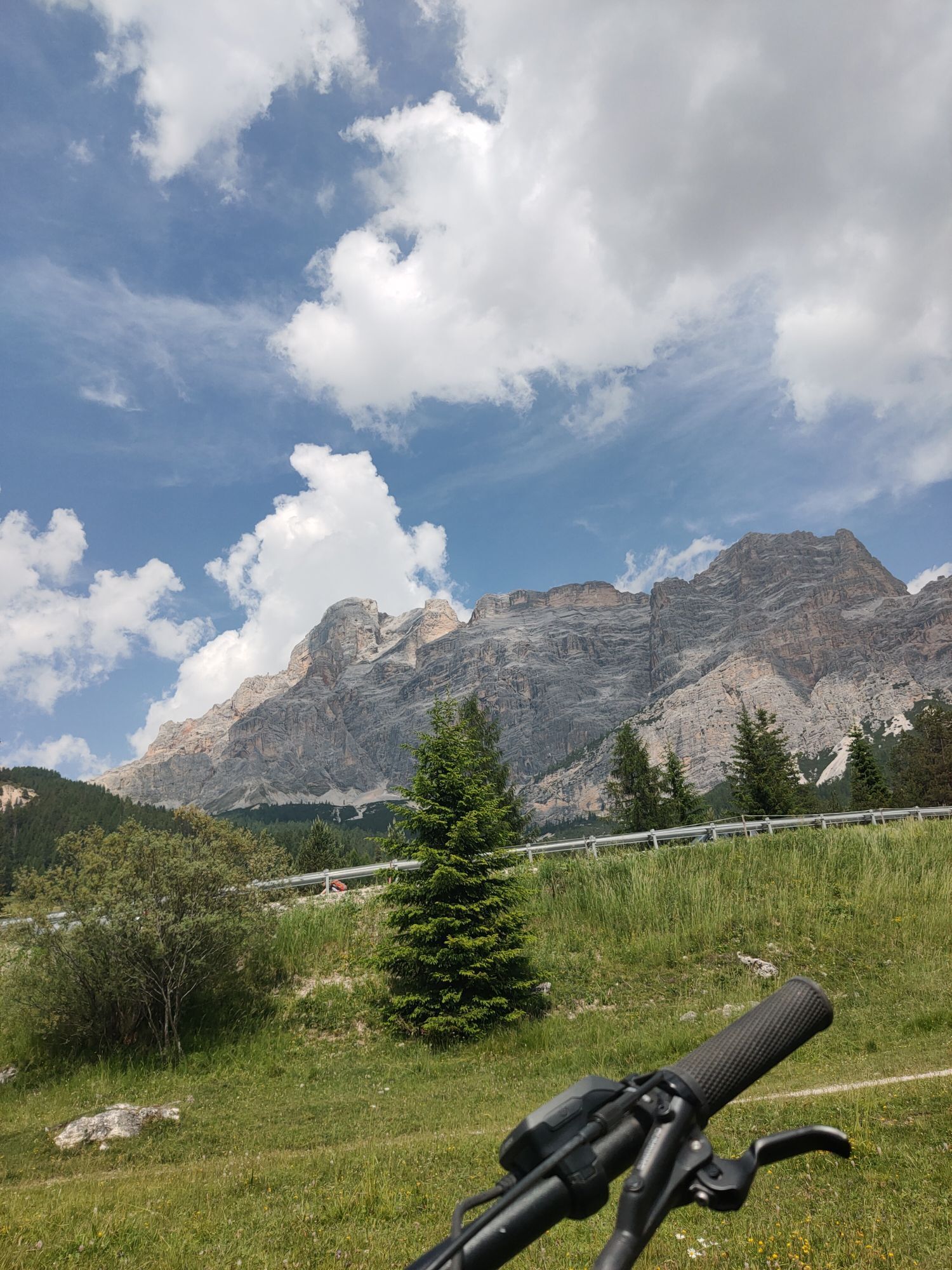
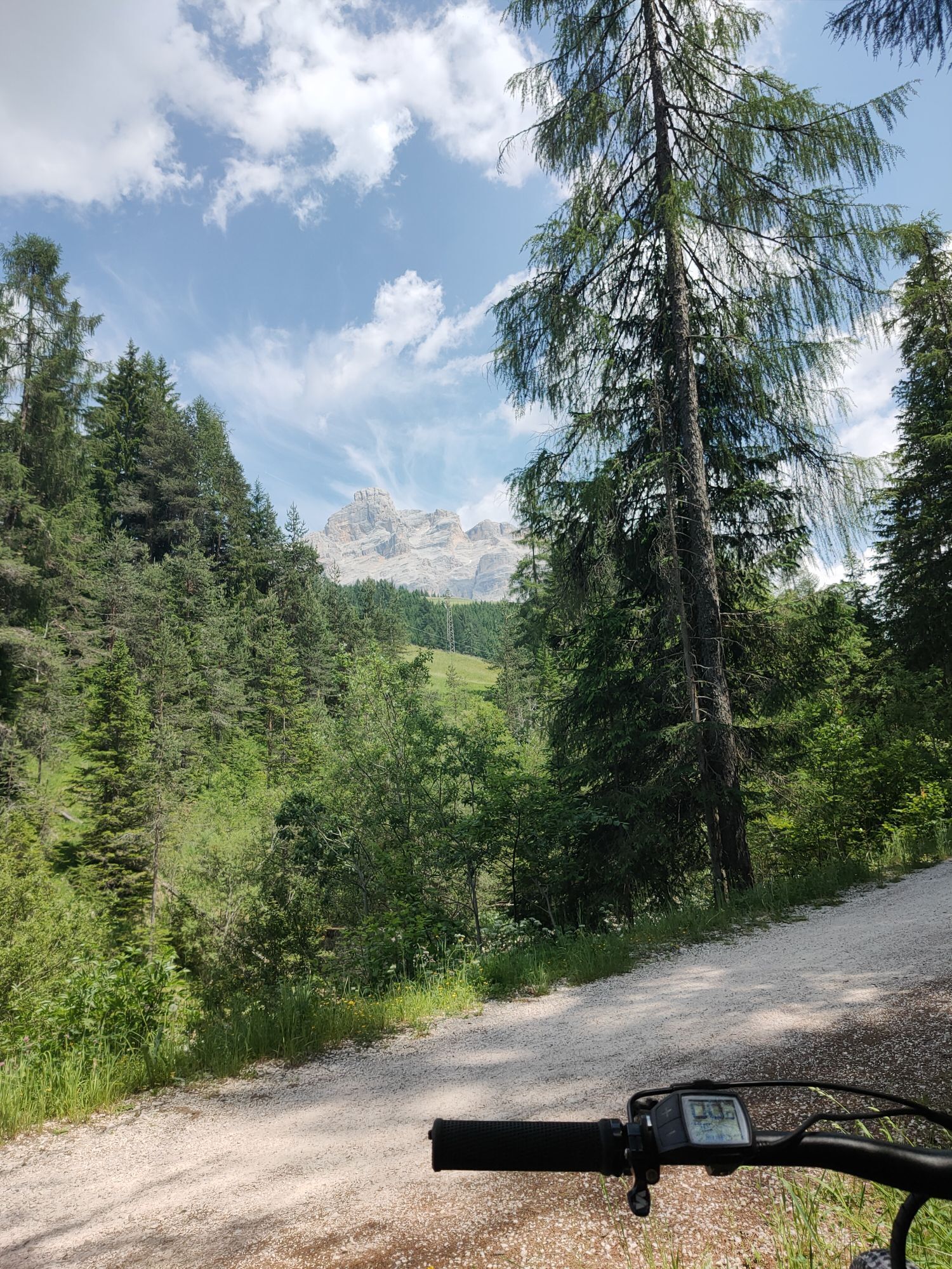
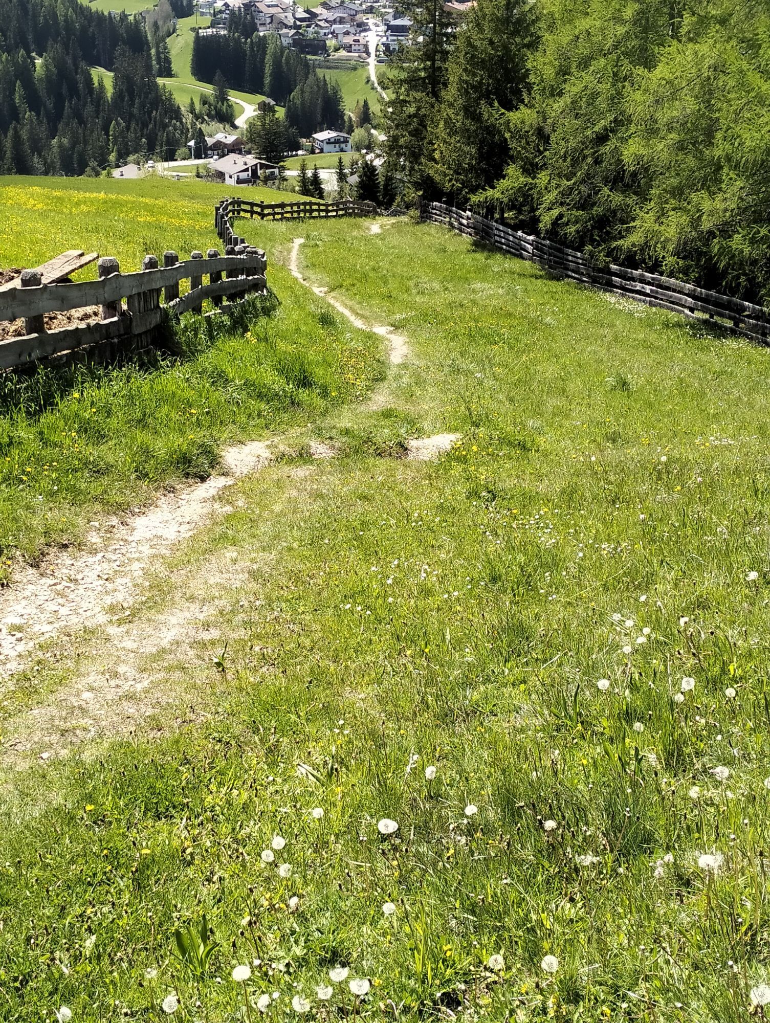
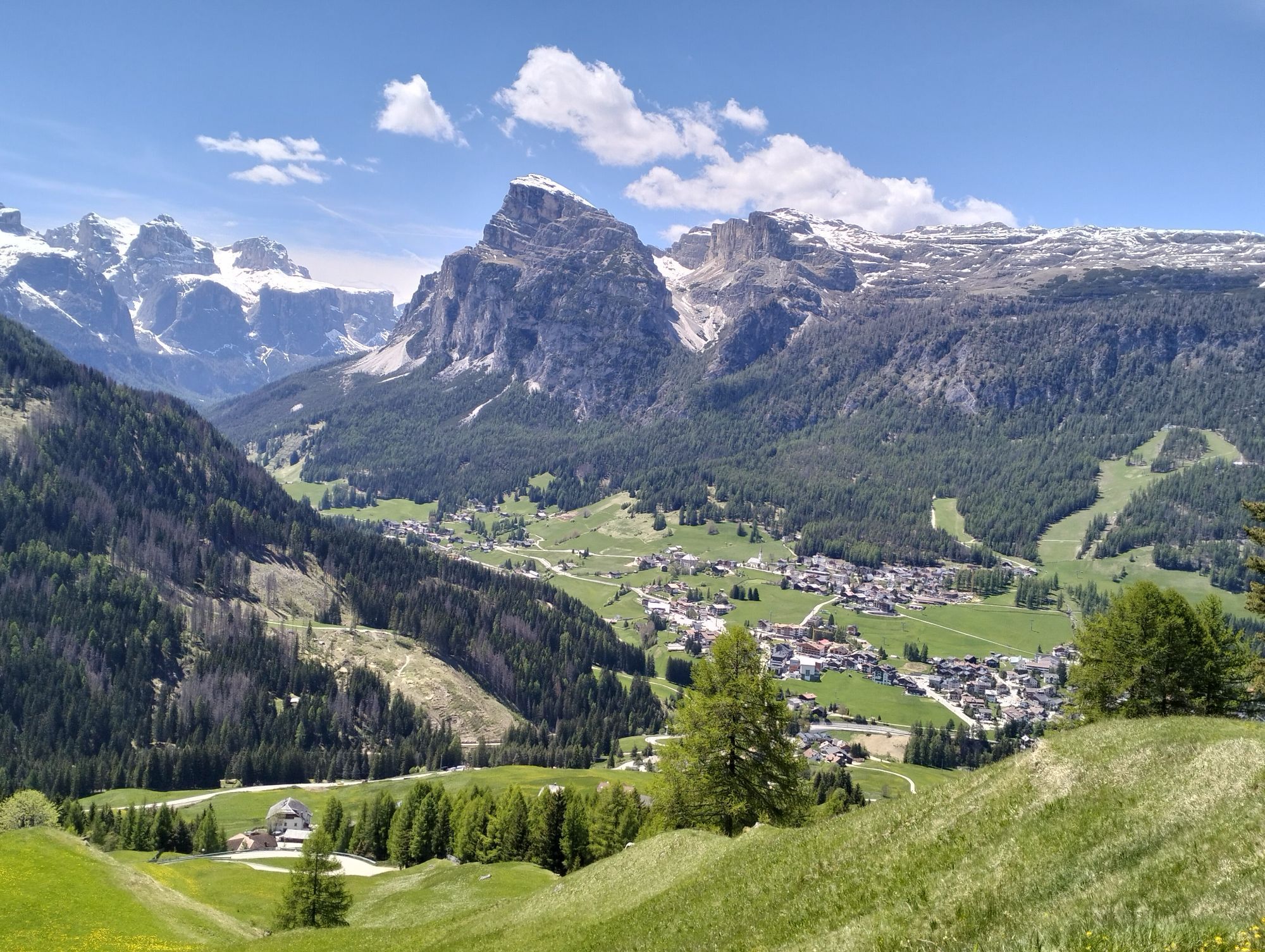
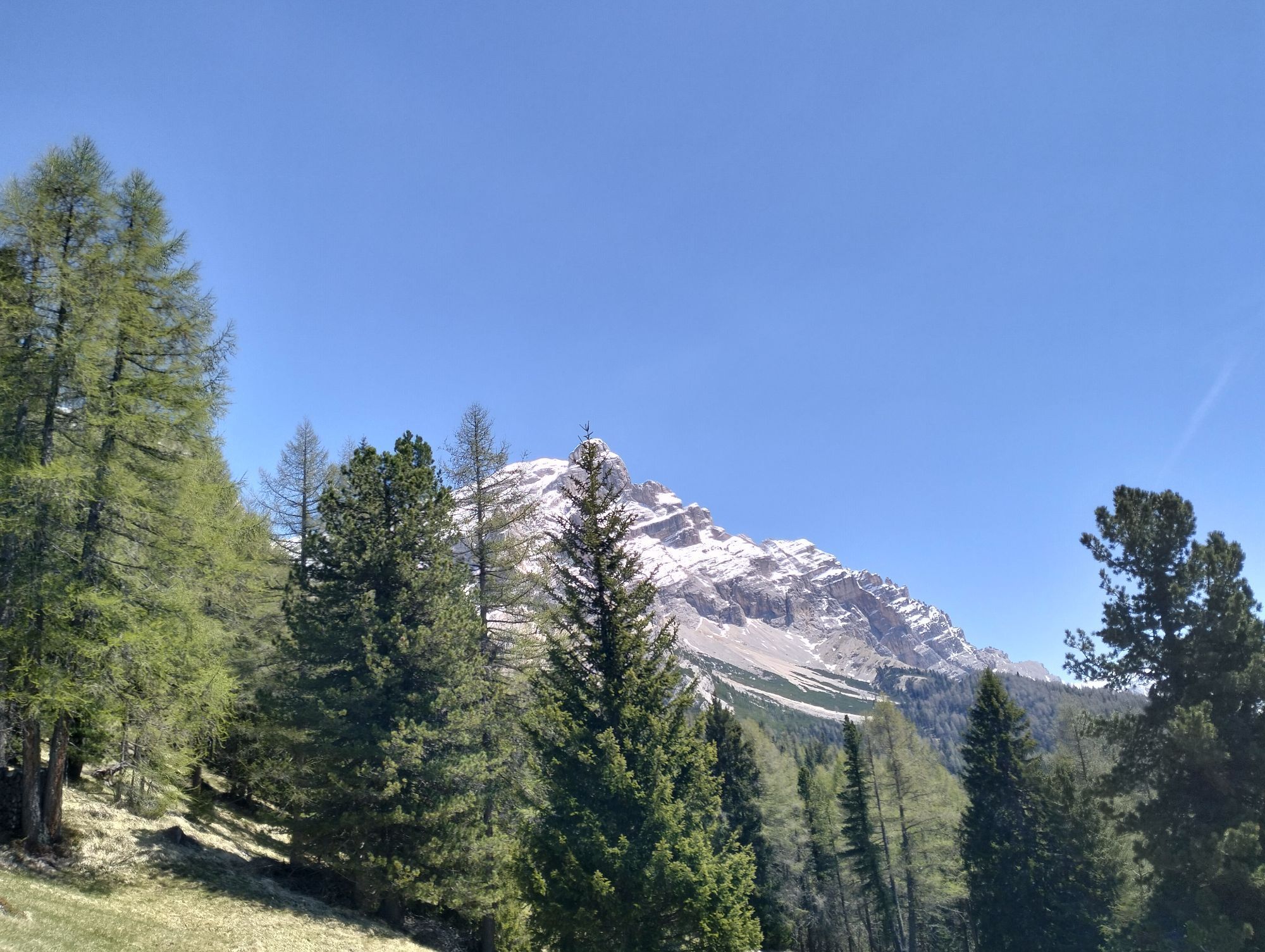
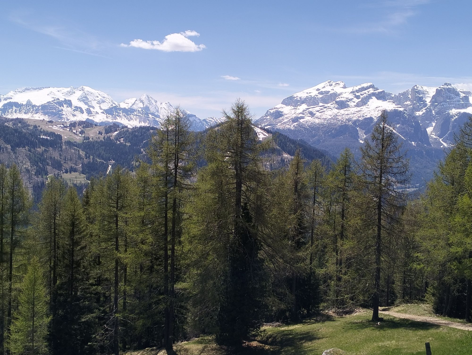
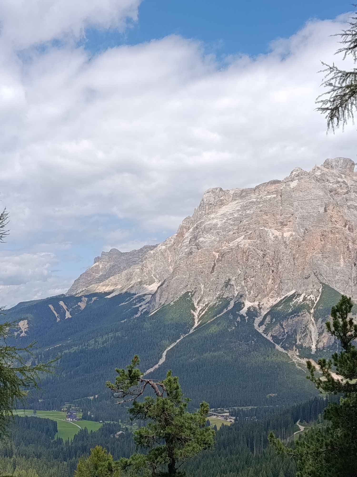
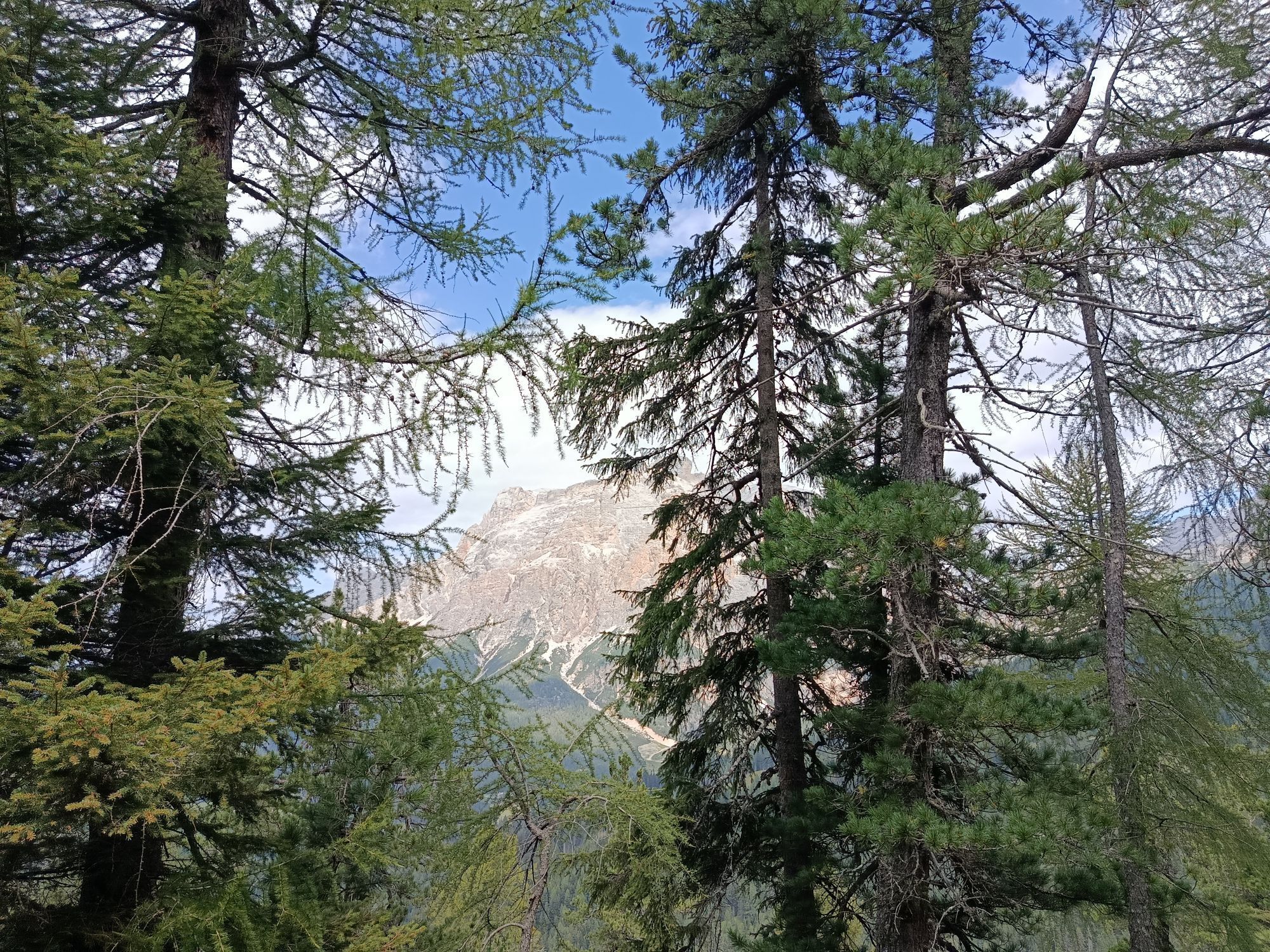
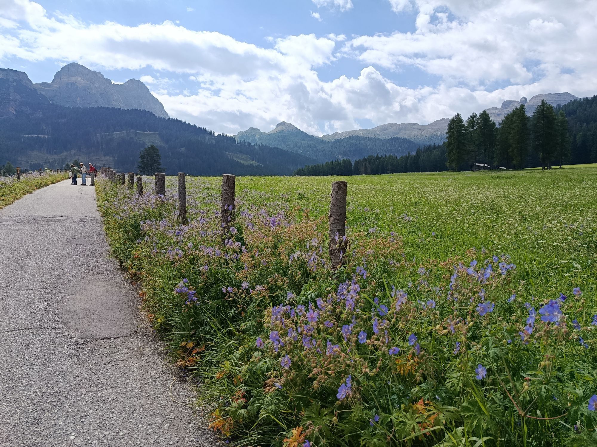
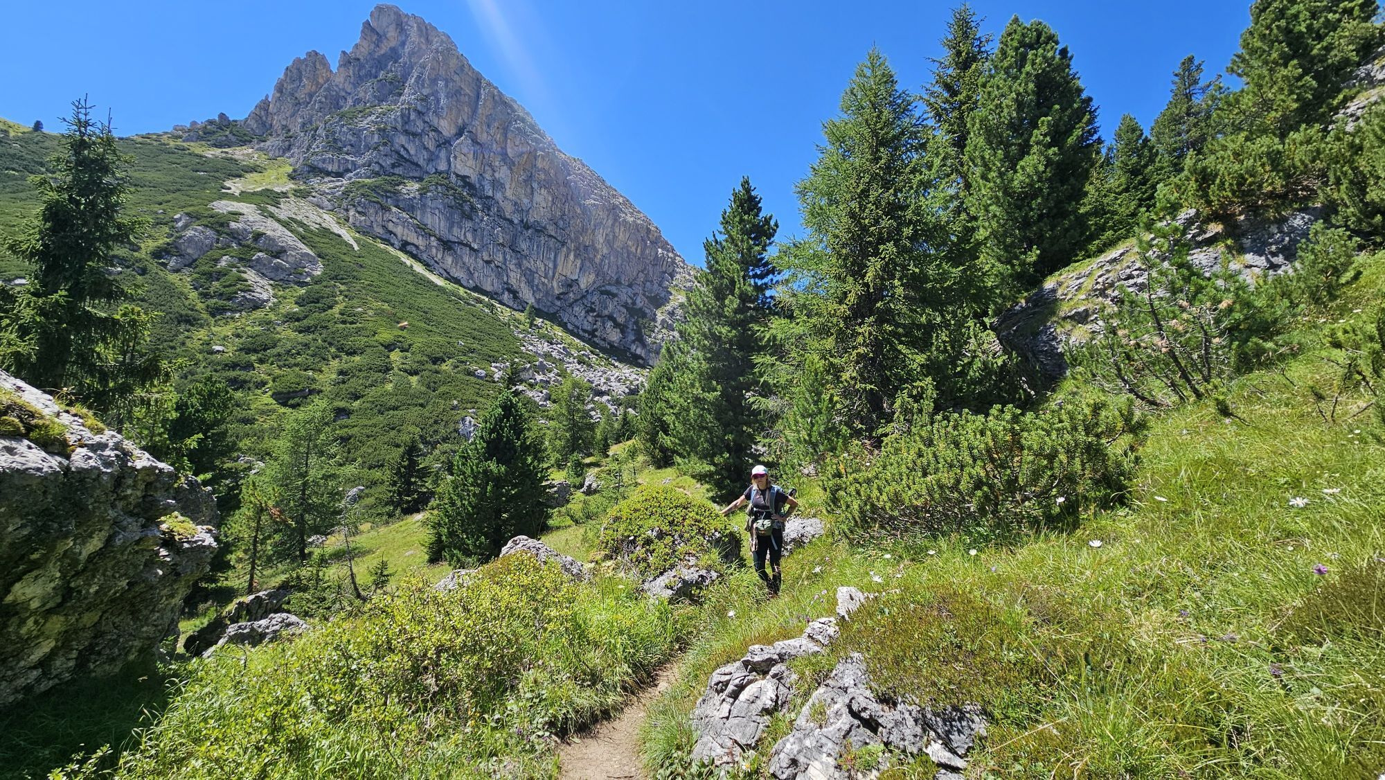
An easy but satisfying tour along the "Fodom" Valley via "Arabba", "Pieve di Livinallongo", the "Falzarego" Pass and the "Campolongo" Pass.
After a good warm-up along the "Fodom" Valley, we tackle the "Falzarego"...
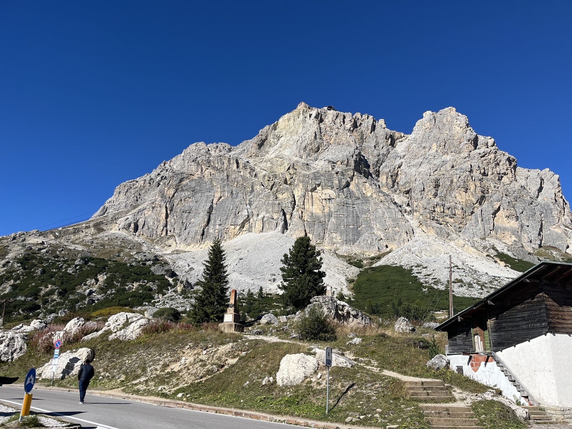
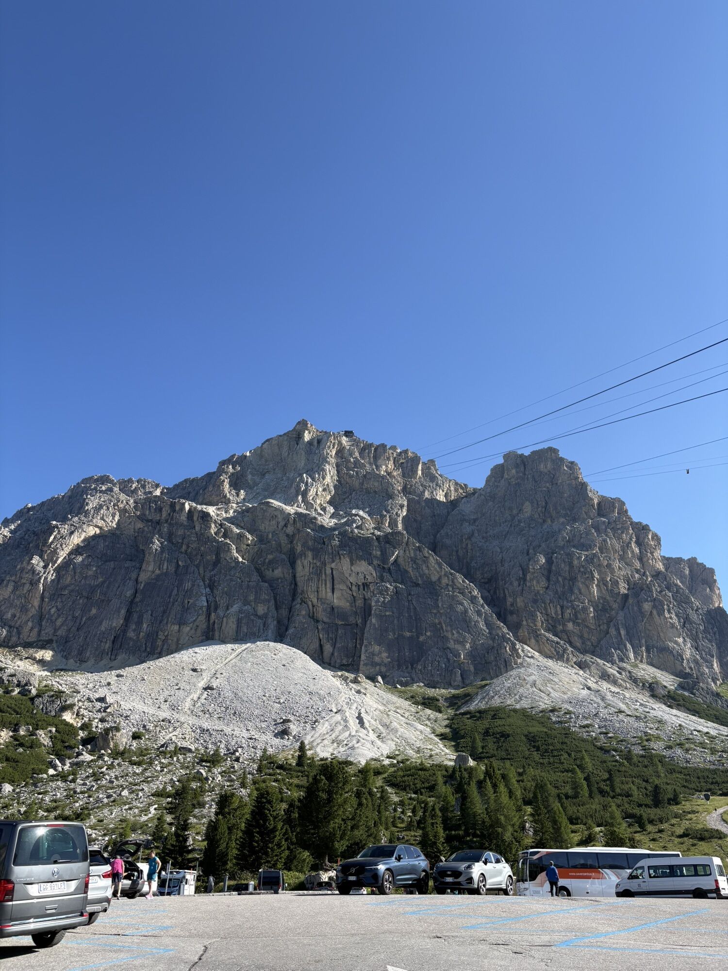
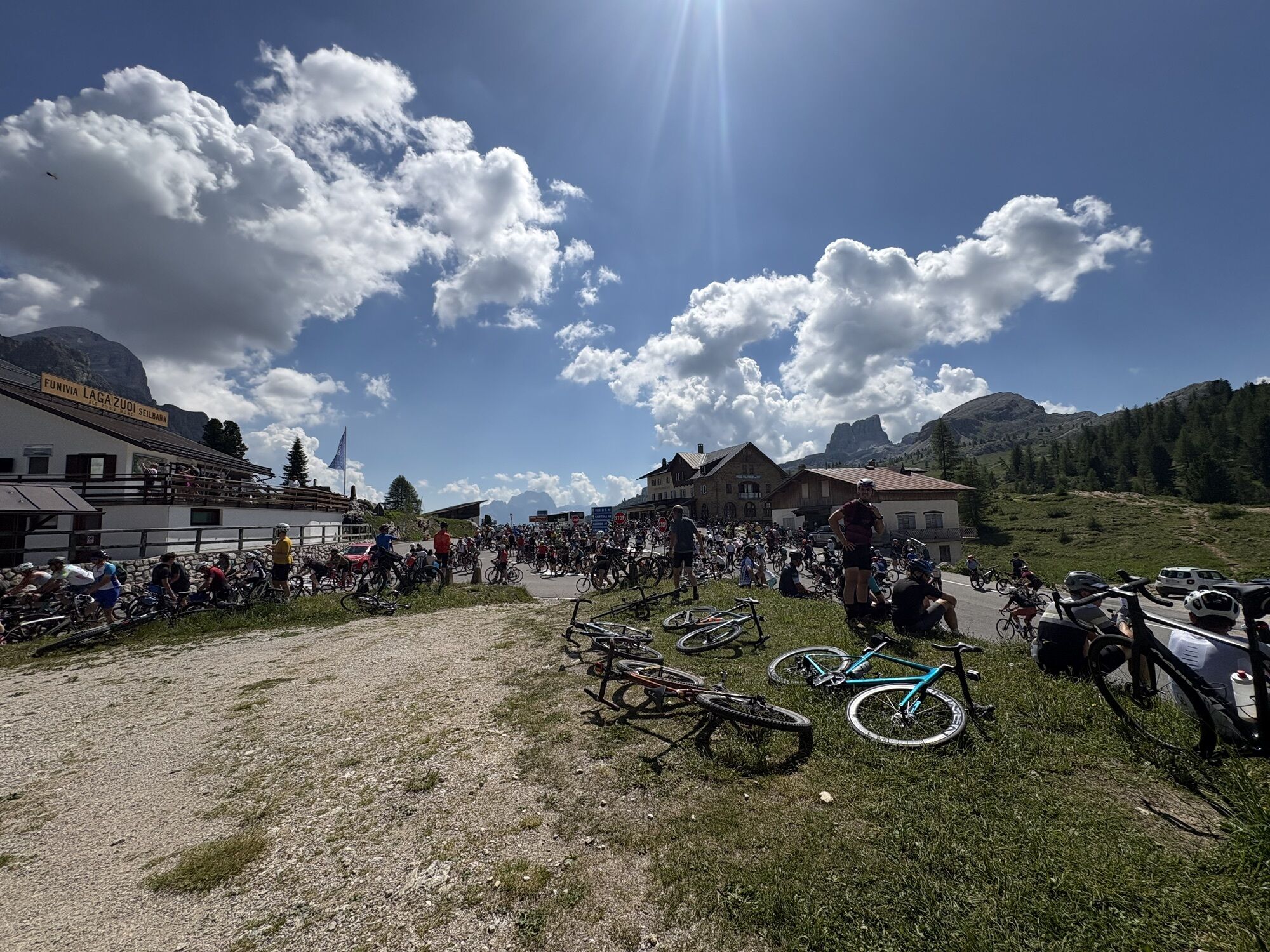
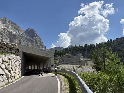
After a good warm-up along the "Fodom" Valley, we tackle the "Falzarego" Pass, which leads us with never-ending climbs and long straight stretches to the foot of the "Lagazuoi", where the last, somewhat demanding kilometre to the "Valparola" Pass awaits us.
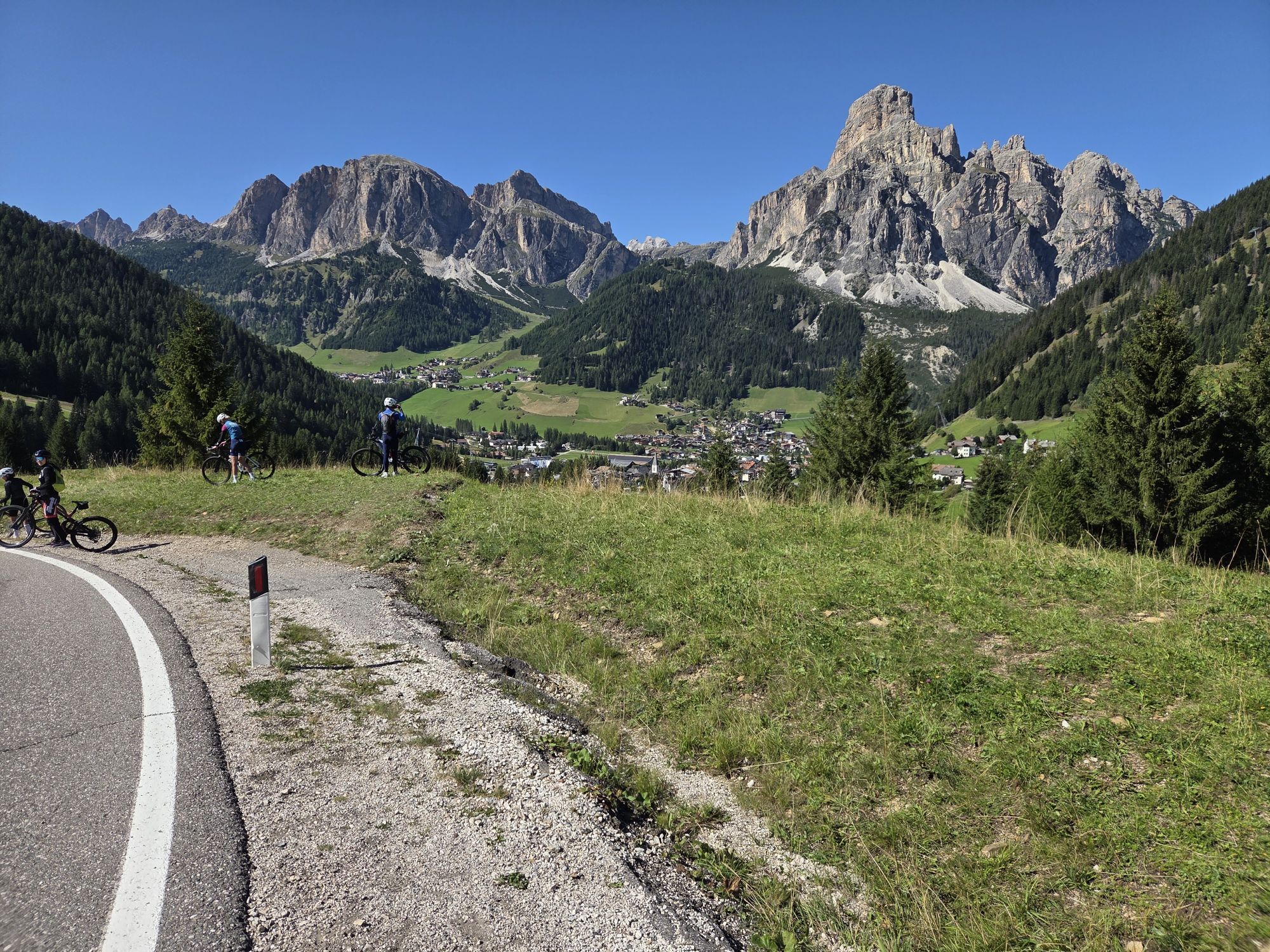
From here it is a long descent to the "Gader" Valley, where we start climbing again to tackle the last yoke of the day: the "Campolongo" Pass. From the top of the pass, a short descent to "Arabba".



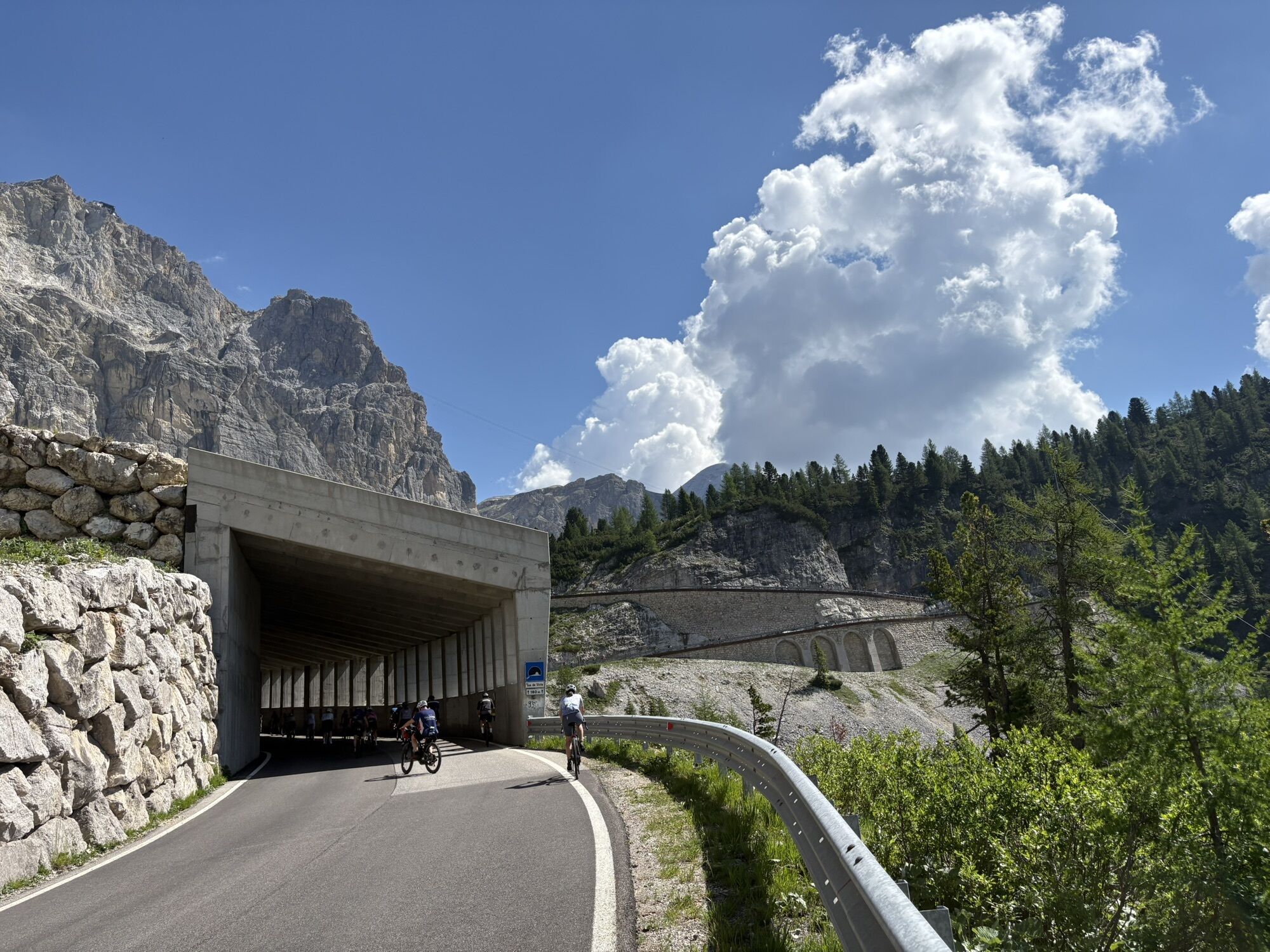
Anticlockwise tour: from the centre of "Arabba" take the "Road n. 48 of the Dolomites", which takes you through the centre of "Pieve di Livinallongo" with pleasant ups and downs and arrives at "Cernadoi". Here you take the serpentines of the "Falzarego" Pass, which leads to the foot of the "Lagazuoi" with a view of the "Andraz" Castle. Near the starting point of the cable car is the junction for the "Valparola" Pass, whose summit can be reached by a short and not very demanding climb. After the long straight, the descent begins over the hairpin bends of the pass, which lead successively first to the centre of "San Cassiano" and then to the roundabout in the centre of "La Villa". From here, turn left towards "Corvara", from where you take the few easy hairpin bends that lead to the flat top of the "Campolongo" Pass, after which the same number of easy hairpin bends will take you back to the centre of "Arabba".
Áno
Áno
Áno
The cyclist's kit:
substitute inner tube
repair patches for the inner tube
Co2 dispenser and canisters
rubber remover
pump
inflate and repair canister
multitool kit
chain tool
money
stick for insect bites
food (energy bars, snacks, dried fruit, fruit)
mobile phone (insert useful numbers in the area and health information)
water bottles (one with water, one with water + mineral salts)
gloves
helmet
bandana under helmet
anti-glare glasses
anti-wind and rain k - way
Choose a speed that respects the road traffic regulations and traffic and that corresponds to your riding skills. Please, respect other riders.
Always let someone know where you are going and the approximate duration of the hike and avoid going alone.
The telephone number in case of emergency is 112 or 118 (ambulance).
By train
Nearest railway stations
Belluno - 70 km Brunico - 48 km Ponte Gardena - 51 kmBy bus
Brunico - 47 Km connection by SAD line www.sad.it Belluno - 70 km - connected by the Dolomitibus www.dolomitibus.itBy plane
Venice Treviso/Venice Marco Polo - 160/170 km Innsbruck - 140 km Verona - 270 km Milan Bergamo/Milan Malpensa - 310/400 kmThe town is served by the SAD 472 line which goes around the Sellaronda. More information, times and activation dates of the service www.sii.bz.it
Furthermore, it relates to the Province of Belluno thanks to the service offered by DolomitiBus. More information, times and activation dates of the service www.dolomitibus.it
Tickets can also be purchased on the bus.
At the top of the passes and in the centres of the villages there are ample places to park.
For electric bikes: it is suggested to use the battery only on the steepest climbs, in order to ensure that it lasts throughout the tour, in case the recharging stations are not available.

Webové kamery z prehliadky
-
Pedraces
-
La Villa - Alta Badia
-
Colfosco
-
St. Kassian - Armentarola
-
St. Kassian - Armentarola
-
Alta Badia - Rifugio Ütia de Bioch
-
Arabba - Bec de Roces
-
Arabba - Porta Vescovo
-
Pordoi - Pass
-
Alta Badia - Club Moritzino
-
Piz Arlara
-
Piz Arlara
-
Edelweiss Tal - Colfosco
-
Badia - La Crusc
-
St. Kassian - Garni Irsara
-
Piz La Ila
-
Piz La Ila
-
Piz La Ila
-
Piz Sorega
-
Piz Sorega
-
Piz Sorega
-
Piz Sorega
-
Boé
-
Boé
-
Boé
-
Boé
-
Boé
-
Boé
-
La Crusc
-
La Crusc
-
Piz La Ila
-
Piz La Ila
-
Piz Sorega
-
Piz Sorega
-
Pordoi - Pass
-
La Villa
-
Mezdi Bergstation
-
Mezdi Bergstation
-
Mezdi Bergstation
-
Mezdi Bergstation

Aktivity počas prehliadky
-

La Villa, Trentino-Alto Adige/Italia
22.07.2026 – Mountainbike -

Cortina d'Ampezzo, Veneto/Italia
20.06.2026 – Mountainbike -

Abtei, Trentino-Südtirol/Italien
20.06.2026 – Mountainbike -

Abtei, Trentino-Südtirol/Italien
20.06.2026 – Cestný bicykel -
Arabba, Veneto/Italia
20.06.2026 – Turistika -

Abtei, Trentino-Südtirol/Italien
06.10.2025 – Turistika -
Cortina d'Ampezzo, Veneto/Italia
21.06.2025 – Mountainbike
Obľúbené výlety v okolí
-
4,8
Pordoi Pass - Sass Pordoi - Forcella Pordoi - Piz Boè - Boè Refuge - Forcella Pordoi - Pordoi Pass
ťažkéTuristika 8,39 km -
4,4
Viel dal pan
svetloTuristika 6,60 km -
4,8
Pisciadùsteig Sella Gruppe
strednáVia ferrata 7,15 km -
4,8
Passo Giau roundtrip
strednáTuristika 8,10 km -
4,6
Five Towers Tour (Averau, Nuvolau and Scoiattoli refuges) from Giau Pass
strednáTuristika 10,8 km -
4,9
Via Ferrata "Cesare Piazzetta"
ťažkéVia ferrata 9,07 km -
4,5
Dolomiten Sellagruppe, Alb. Col di Lana, Sas de Pordoi, Piz Boé retour 22.06.2016
strednáTuristika 5 km -
4,7
Giovanni Barbara (A/B) Klettersteig
svetloVia ferrata 6,16 km -
4,9
Fanes-Sennes-Runde
Mountainbike 54,8 km -
4,5
Lago Federa
strednáTuristika 14,6 km
Turistika a stopovanie


Nenechajte si ujsť ponuky a inšpiráciu na ďalšiu dovolenku
Vaša e-mailová adresa bol pridaný do poštového zoznamu.





