


Tannberg – In the footsteps of the Walser
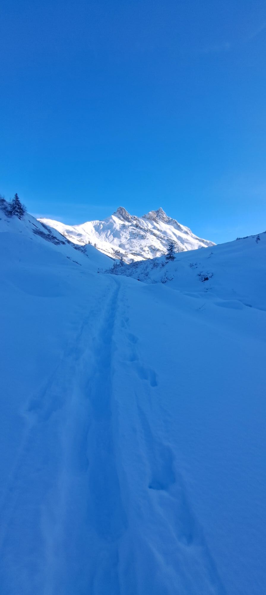
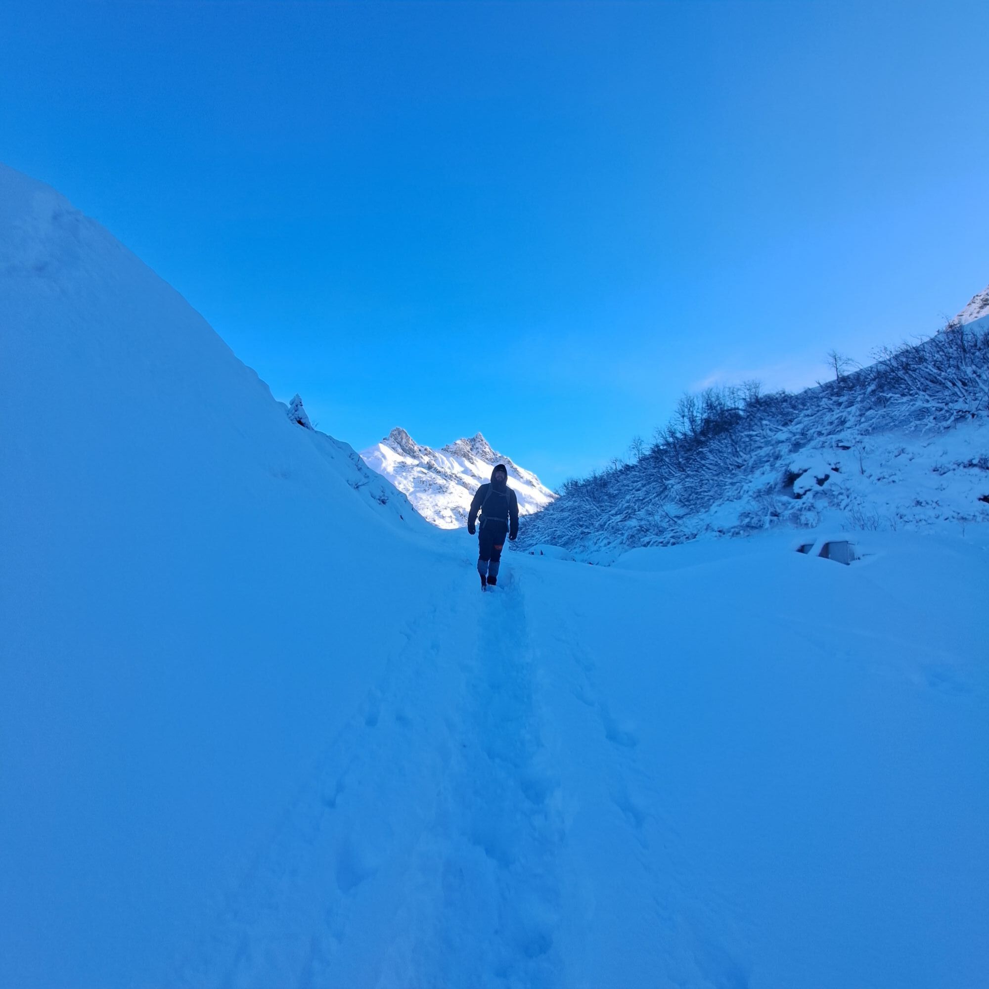
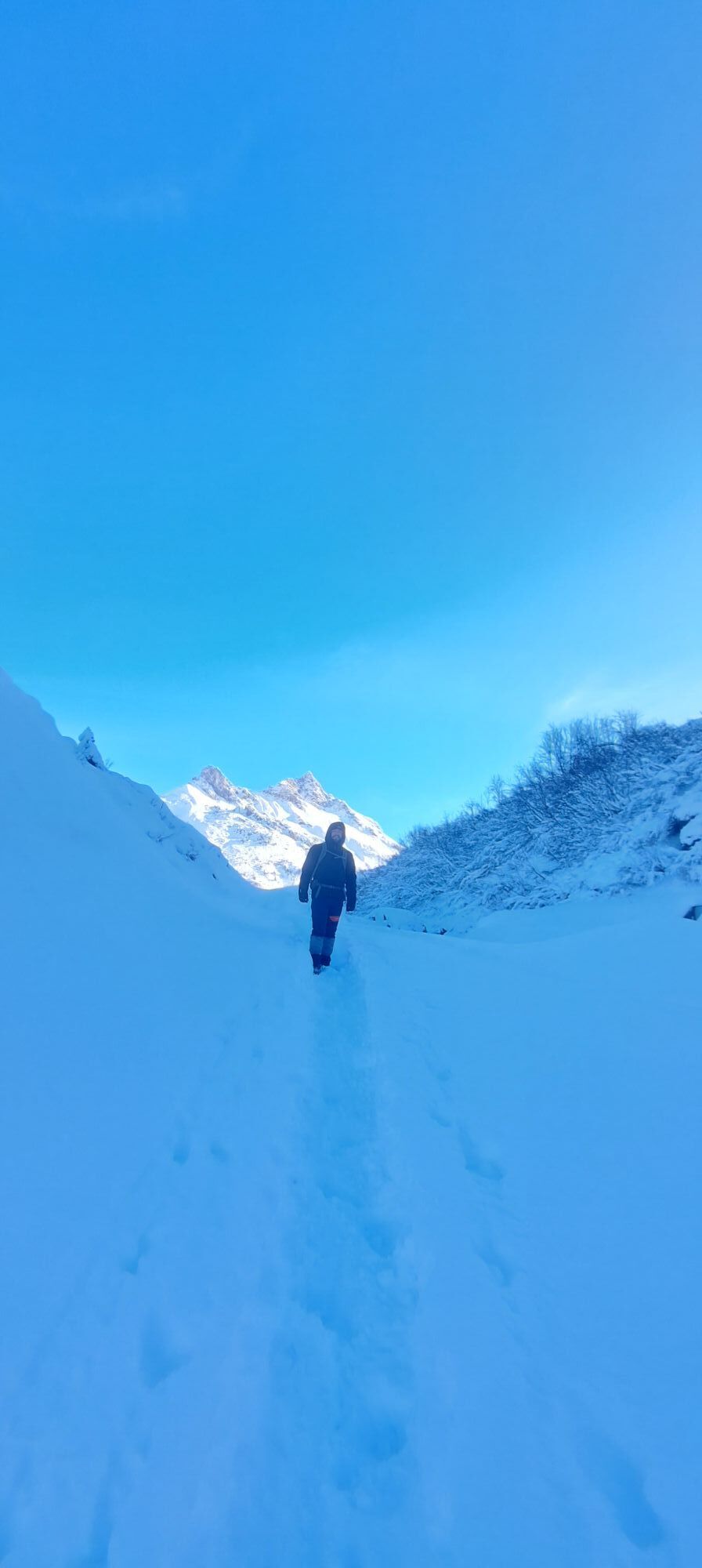
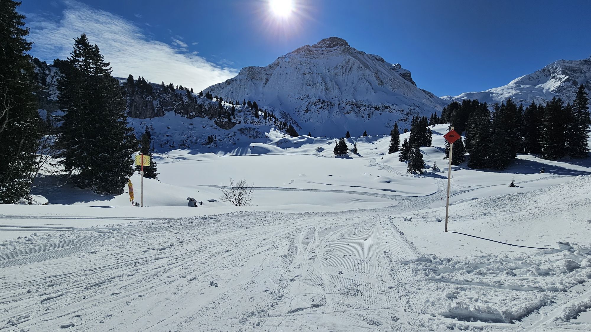
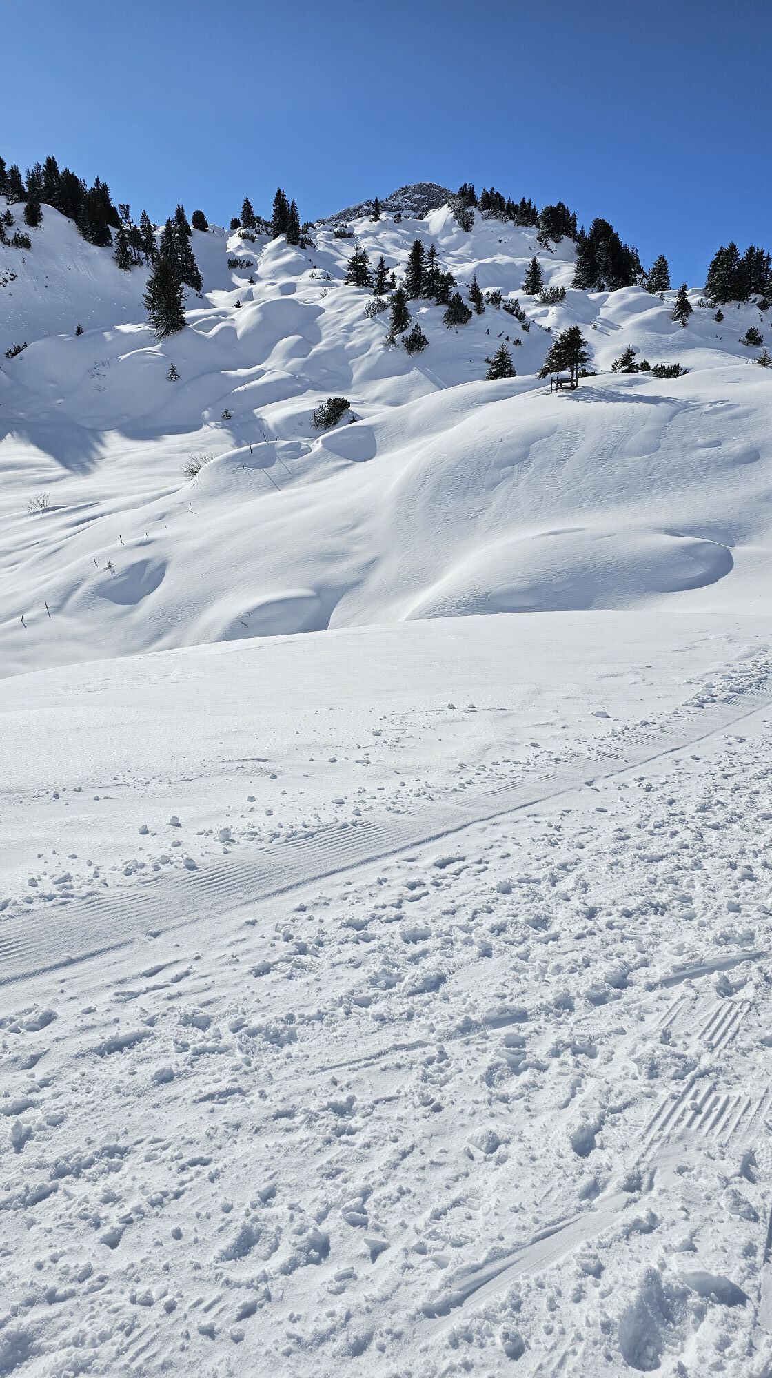

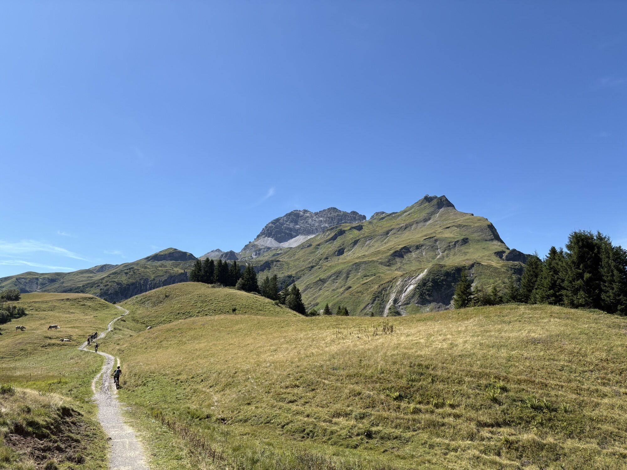
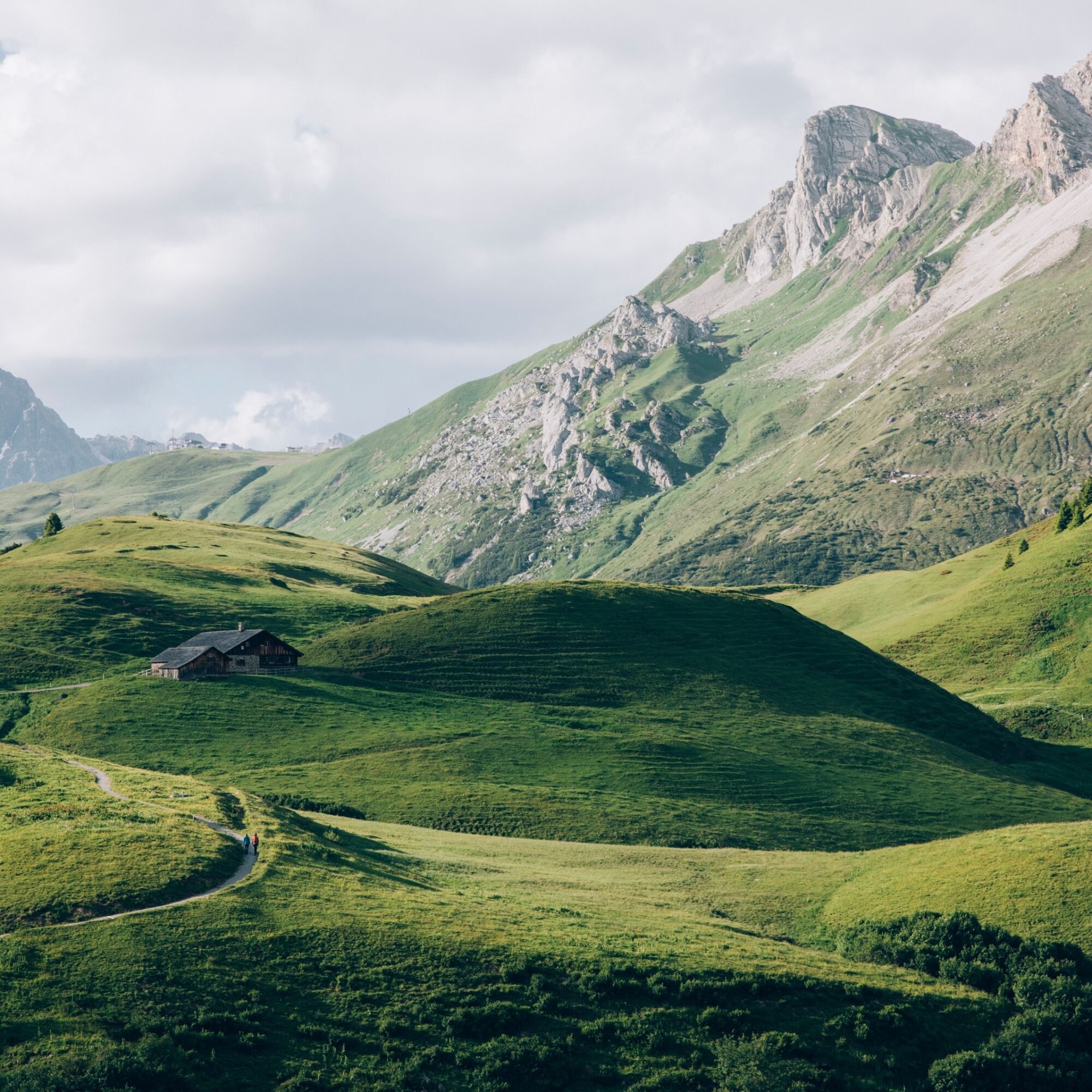
A family-friendly hike with ascent to the Gaisbühelalpe and Auenfeldsattel to the lower Auenfeldalpe. Along it goes through the beautiful meadow field until you can enjoy the view over the deep blue Körbersee....
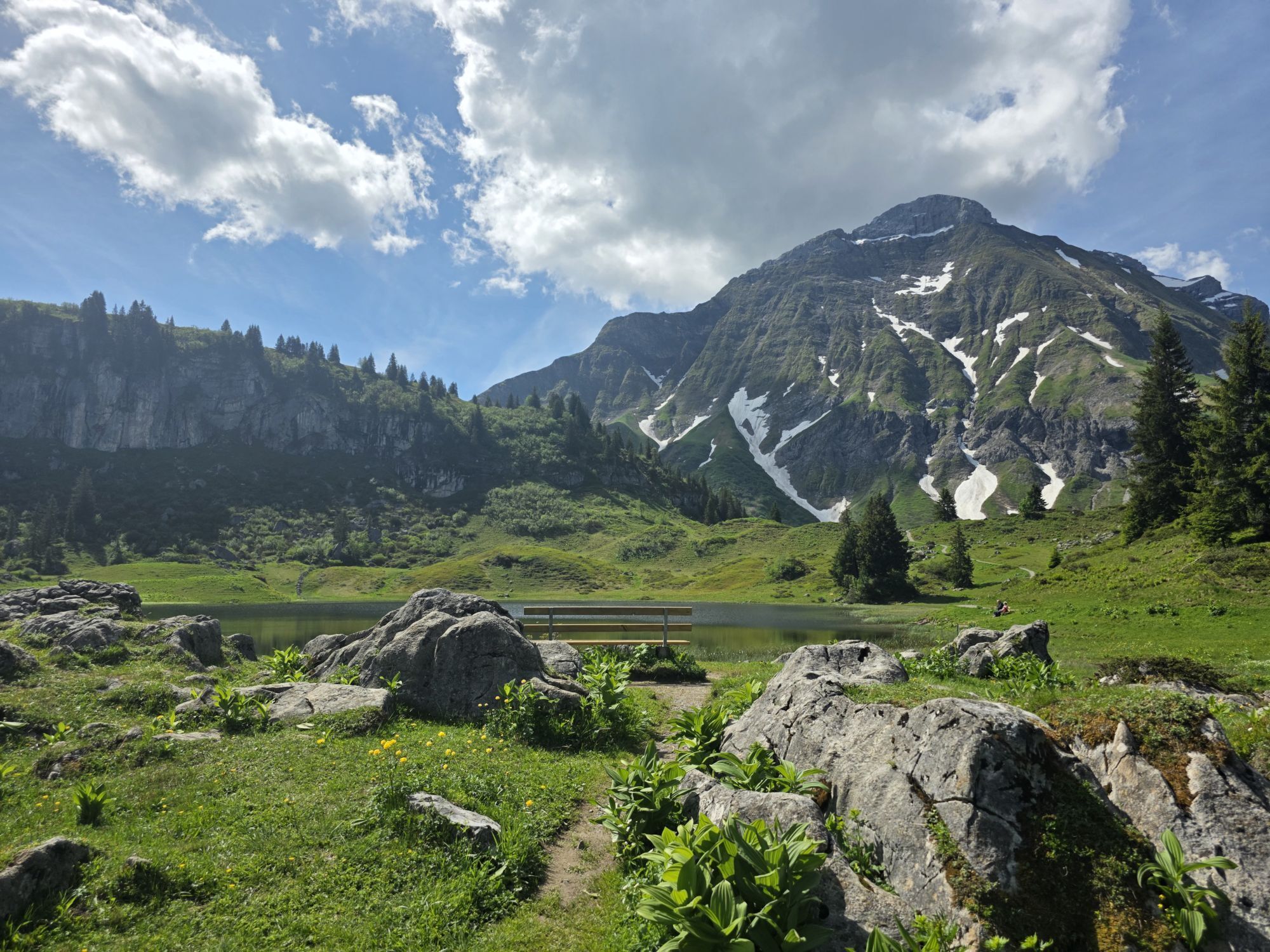
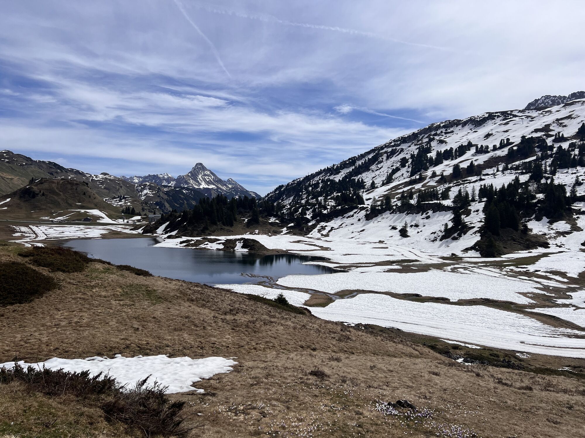
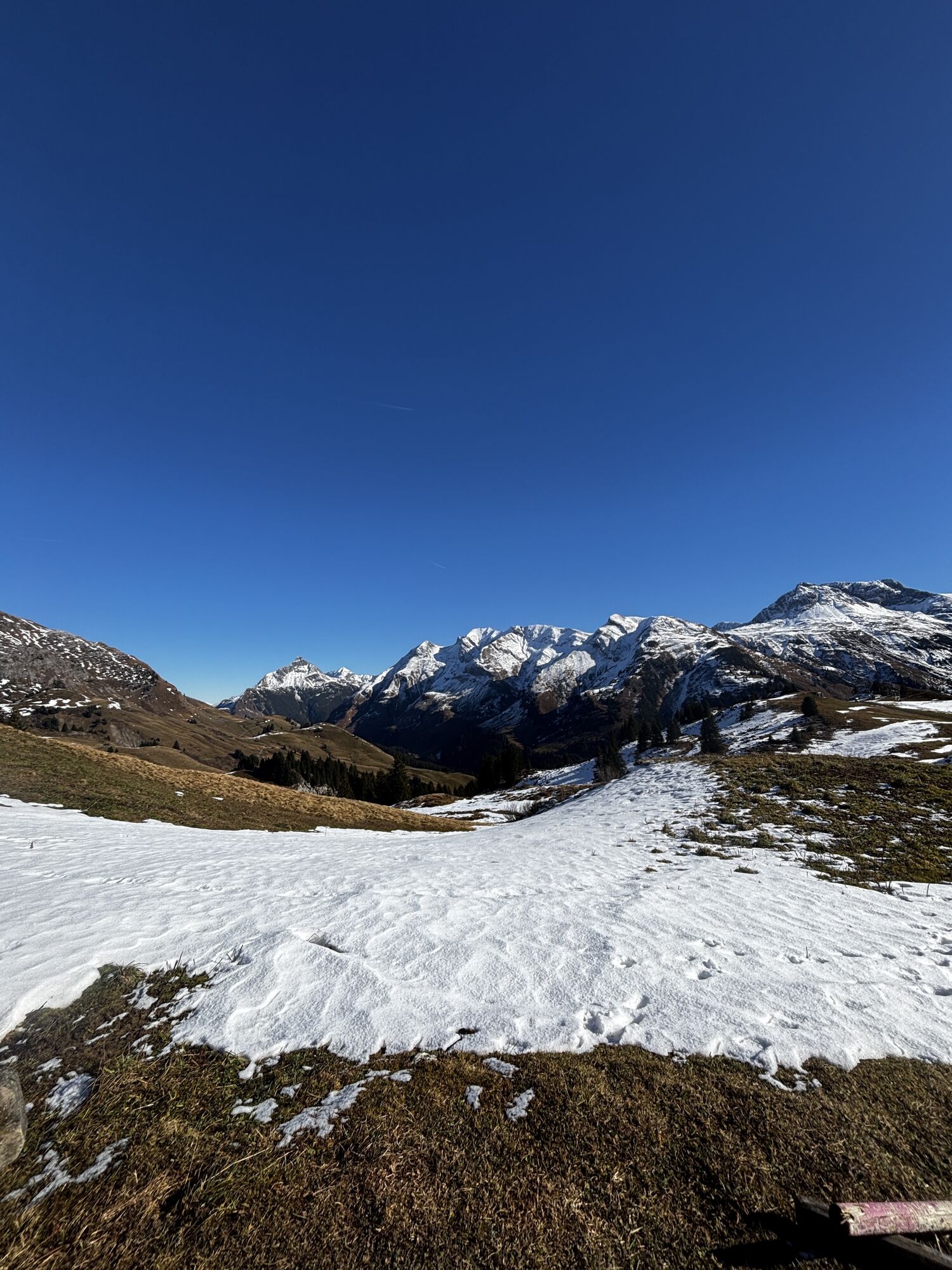
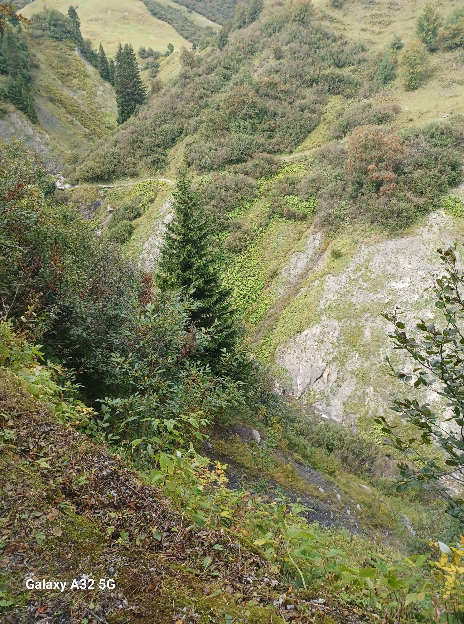
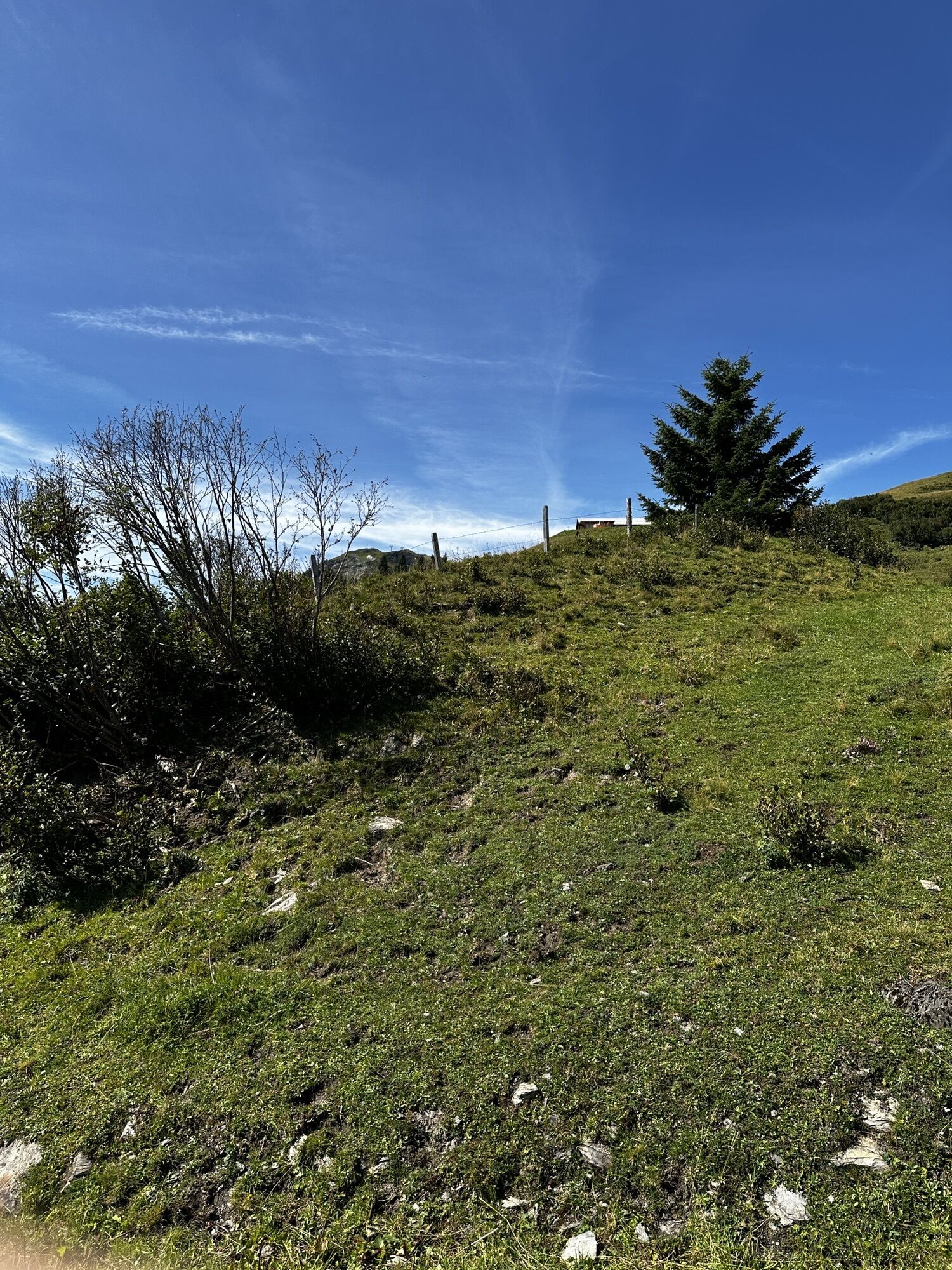
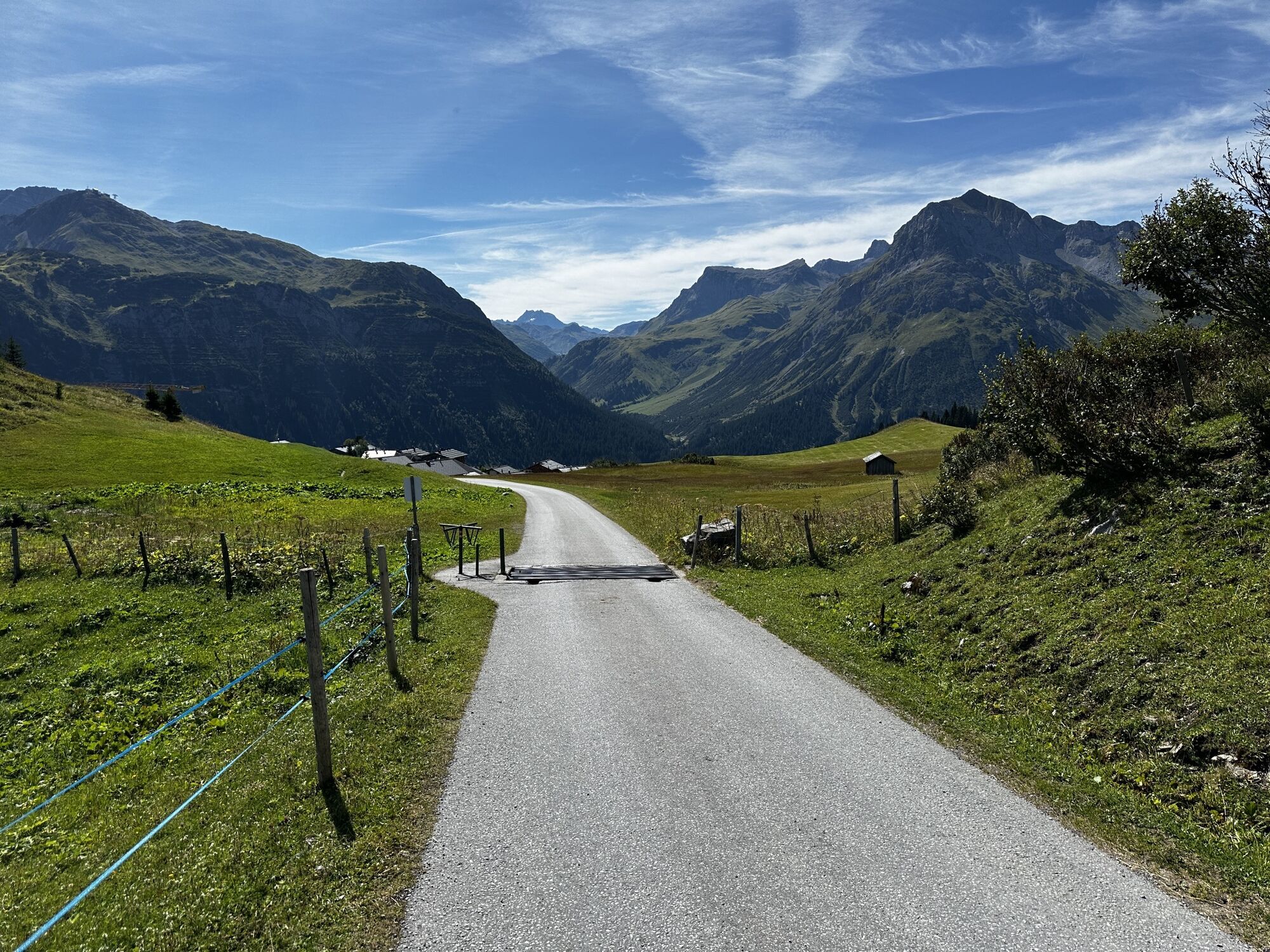
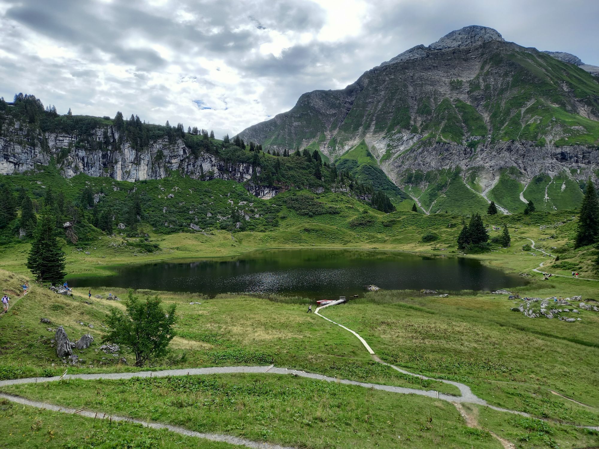
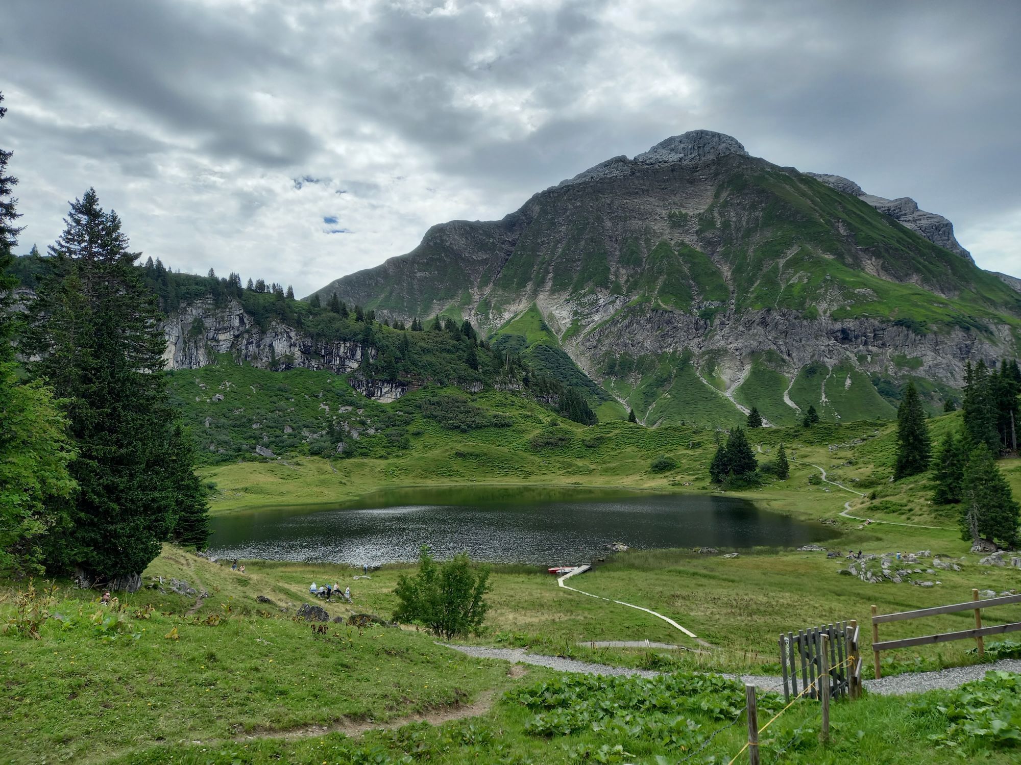
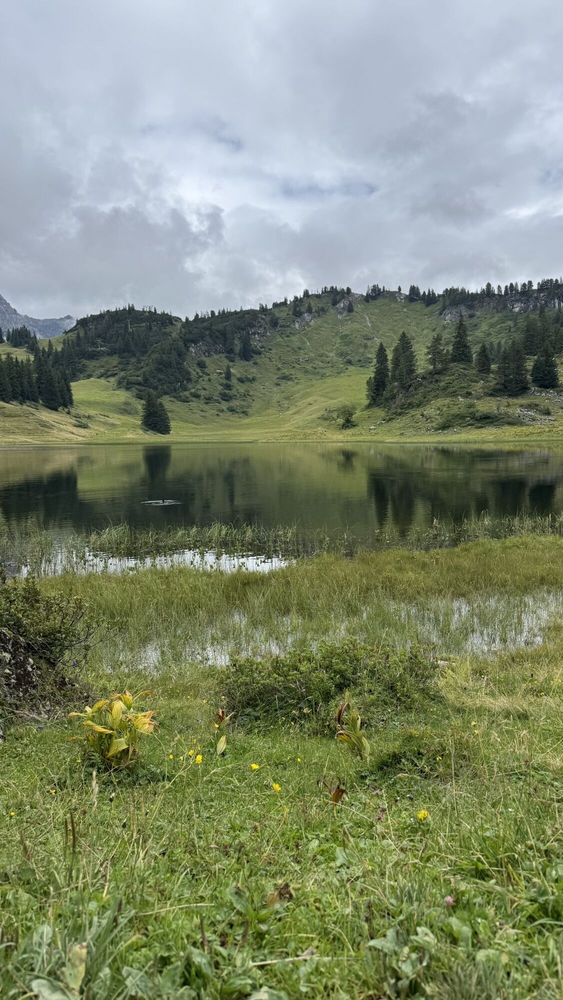
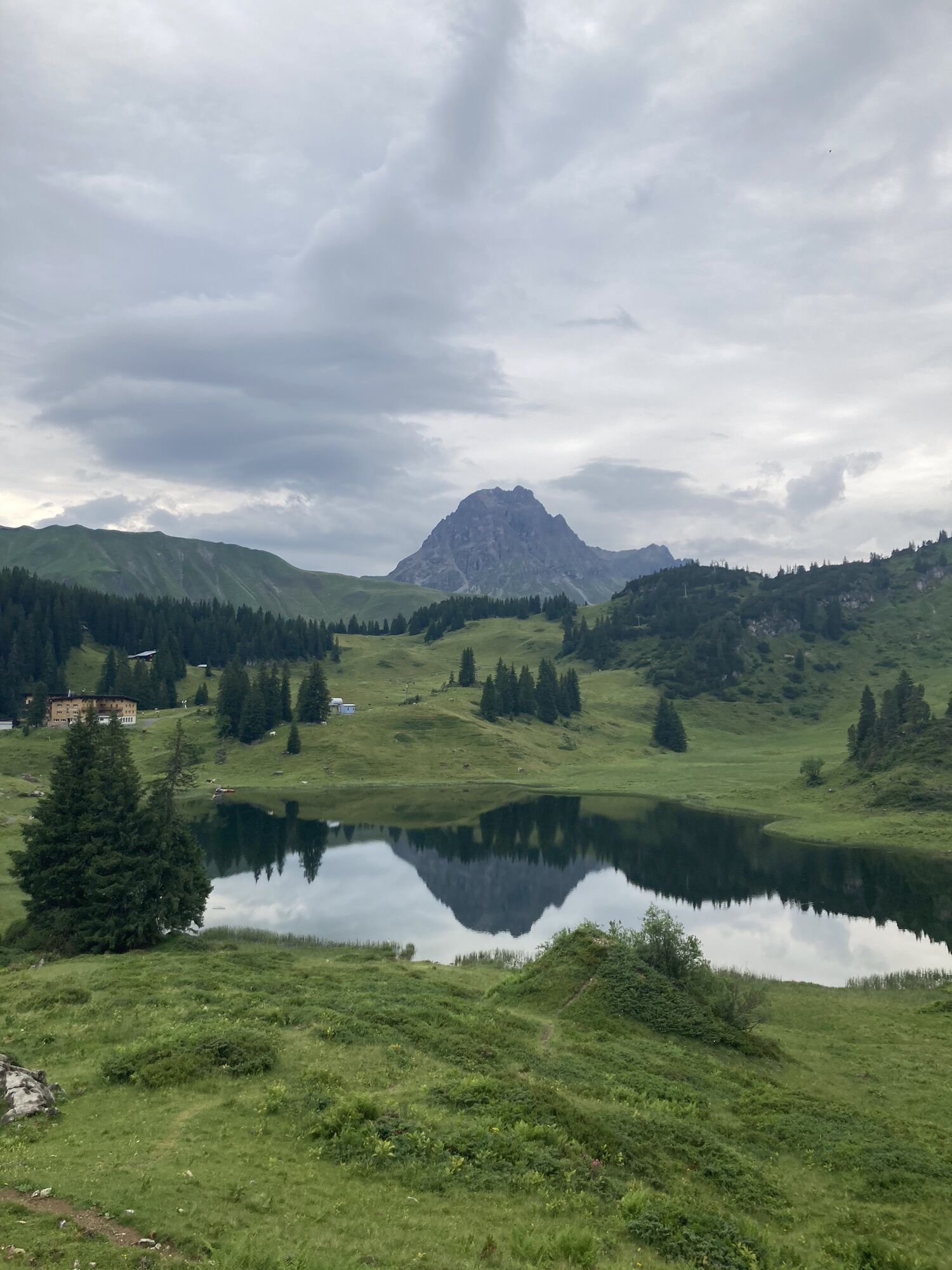
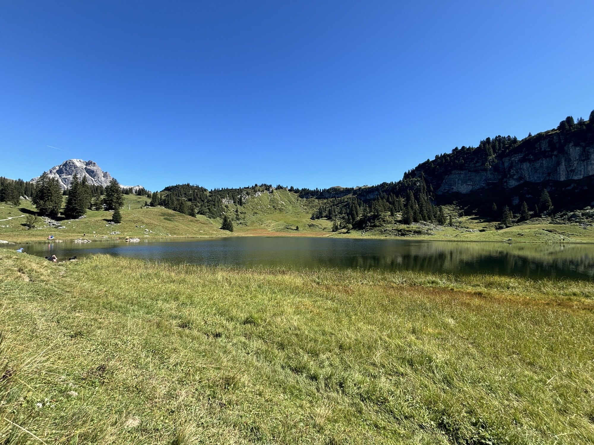
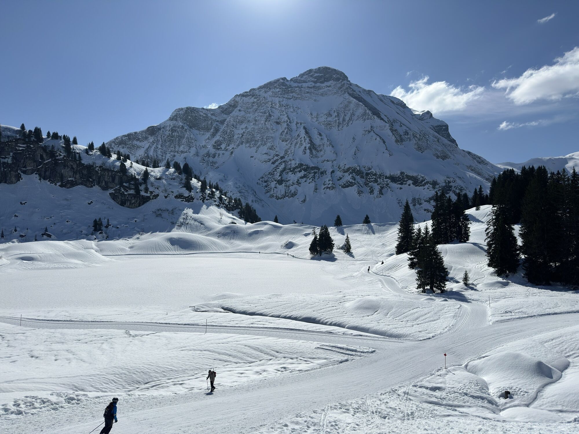
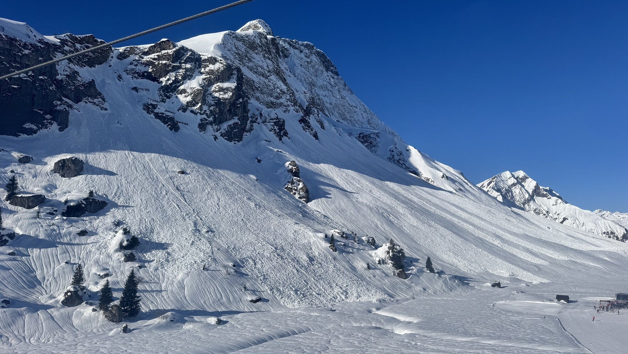
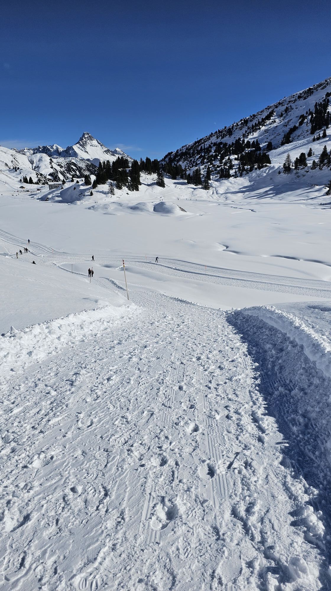
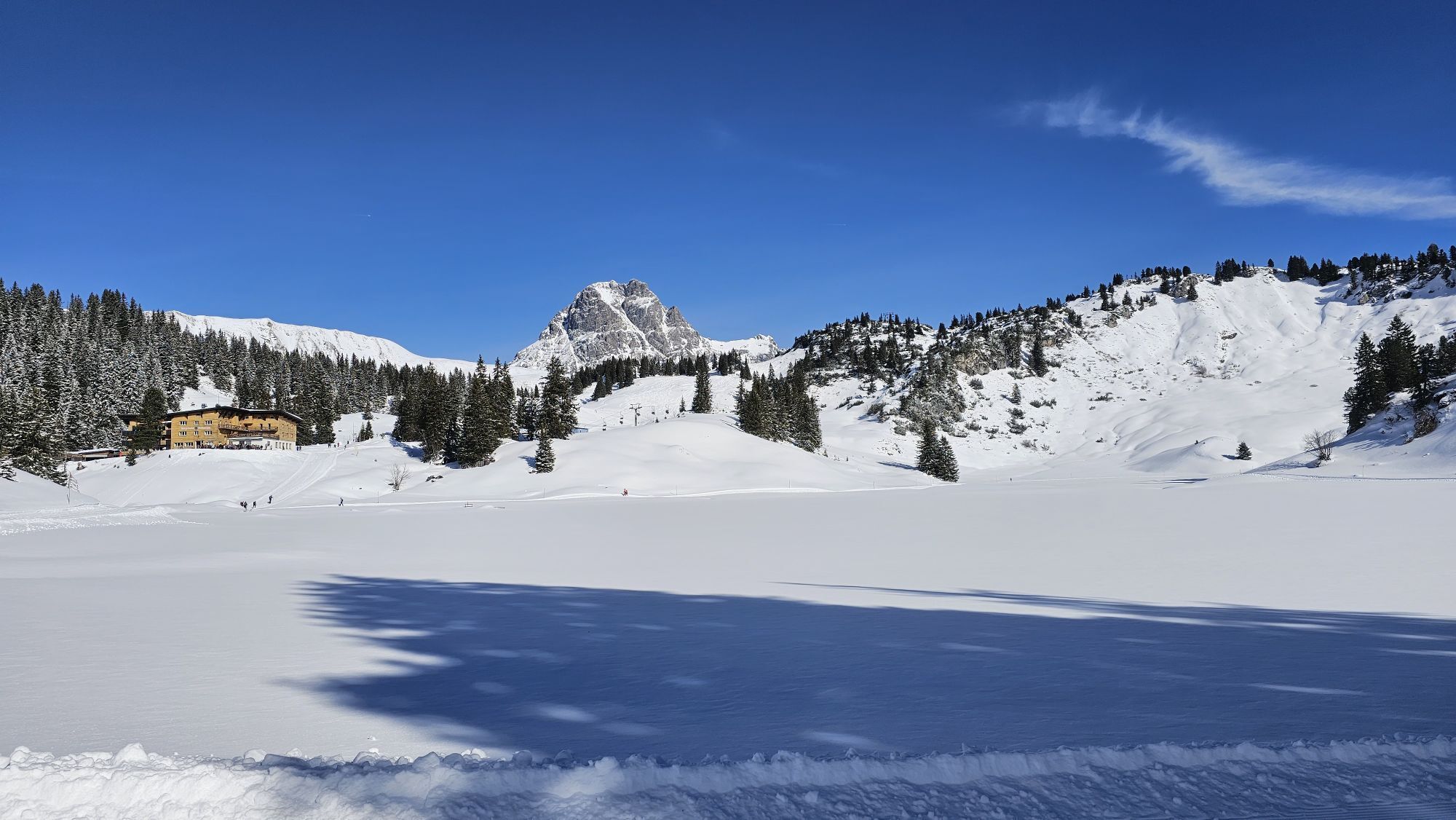
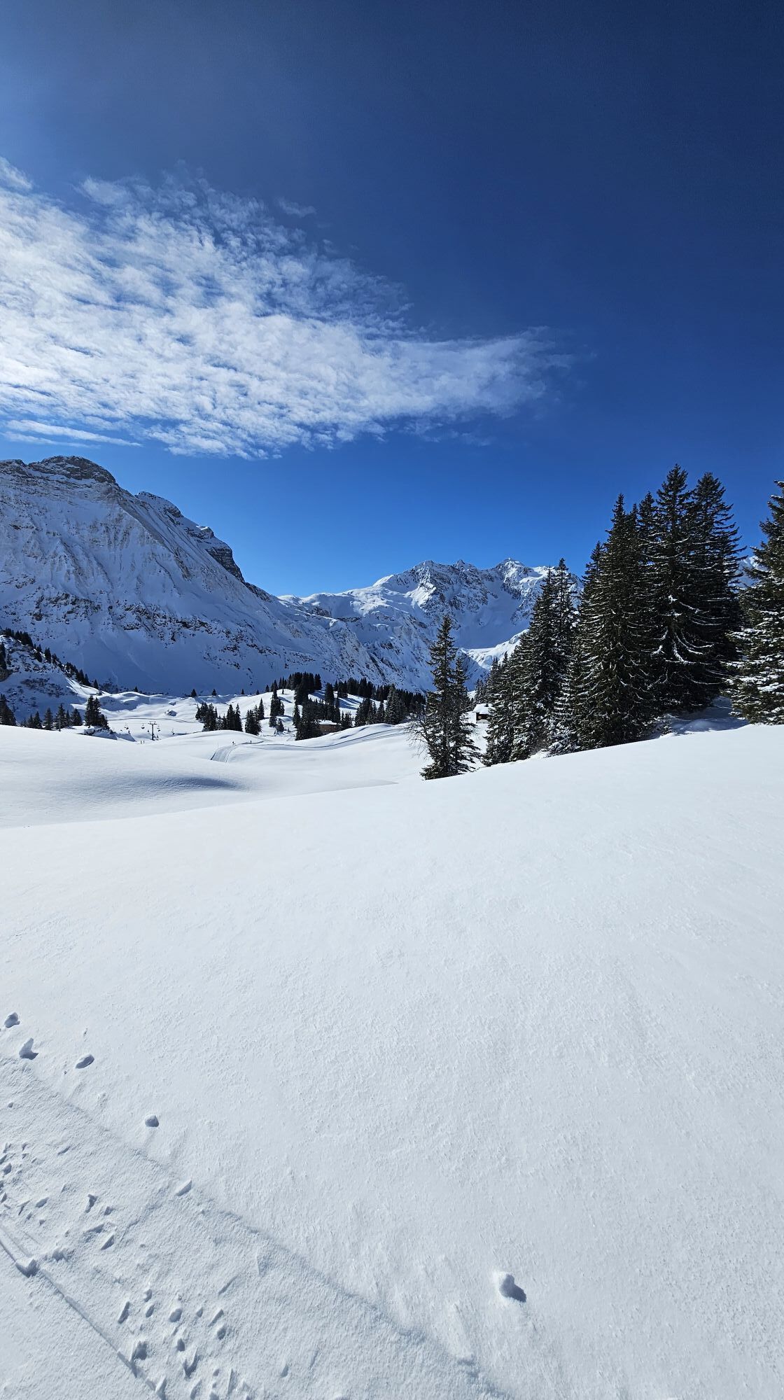
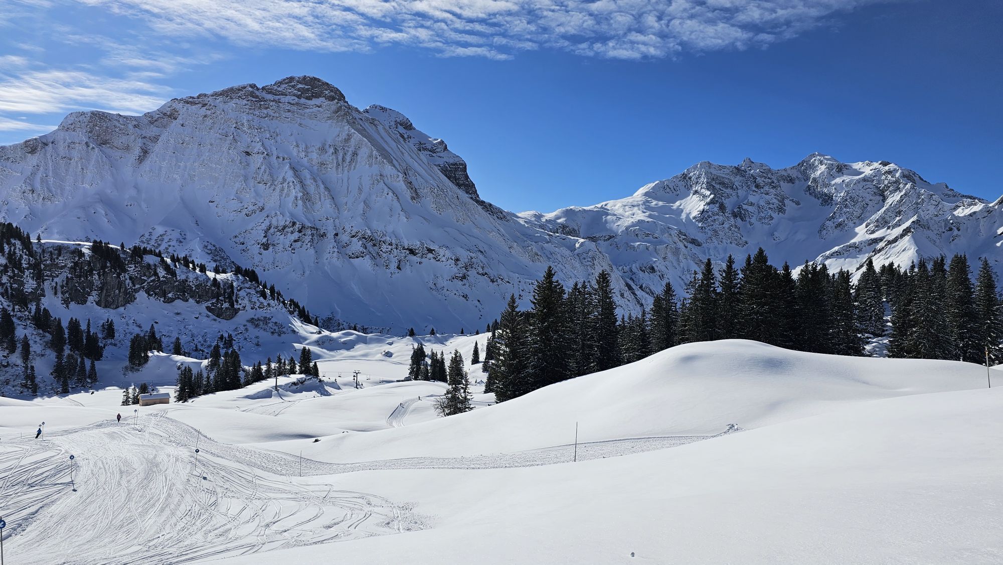
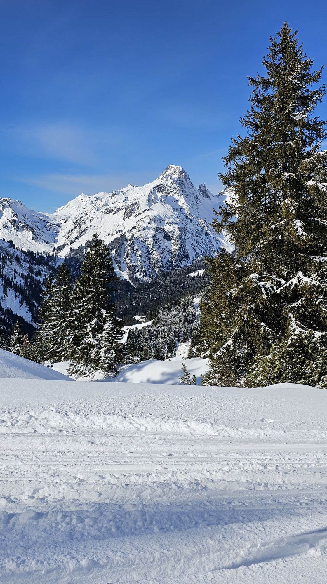
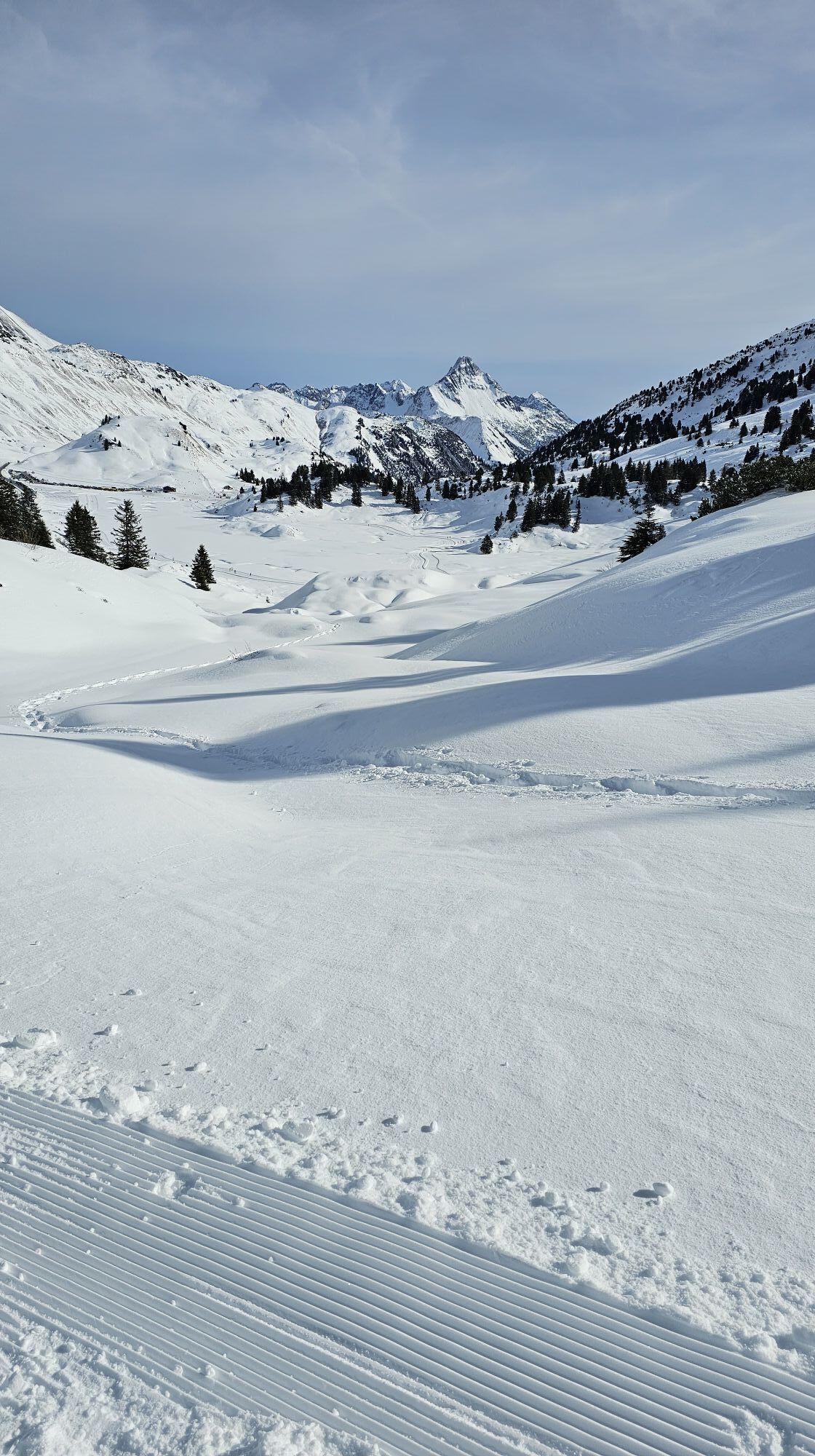
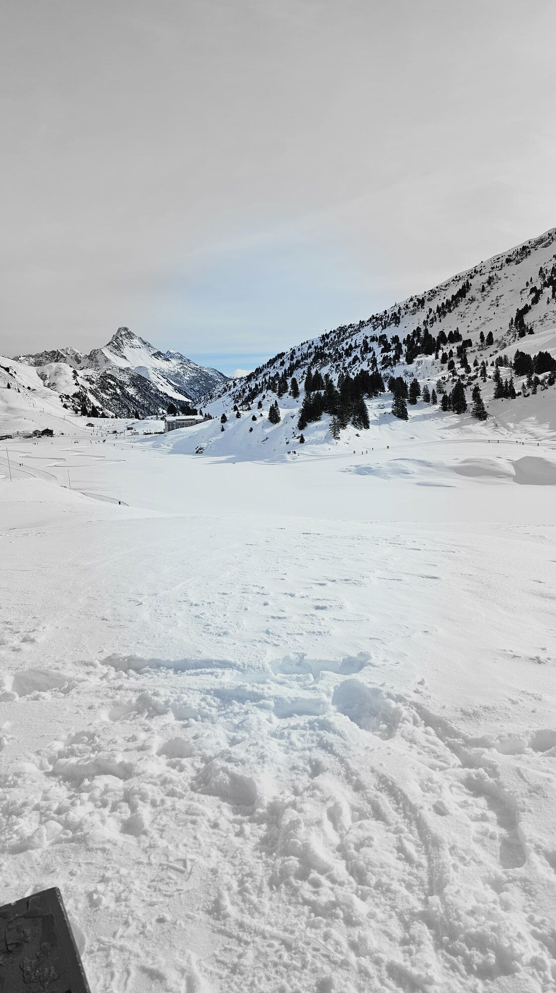
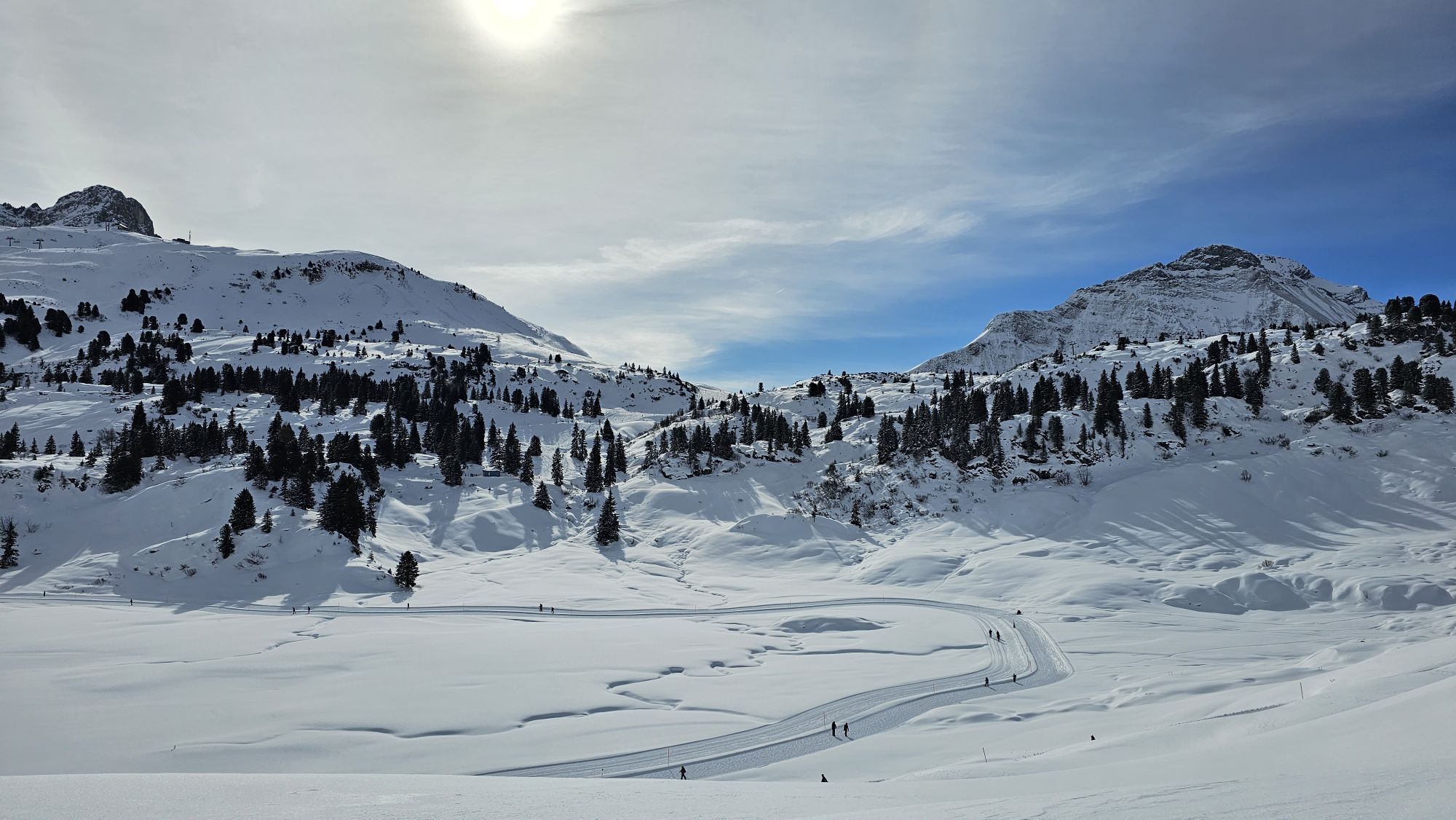
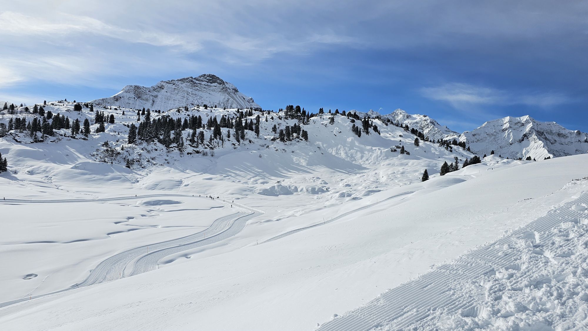
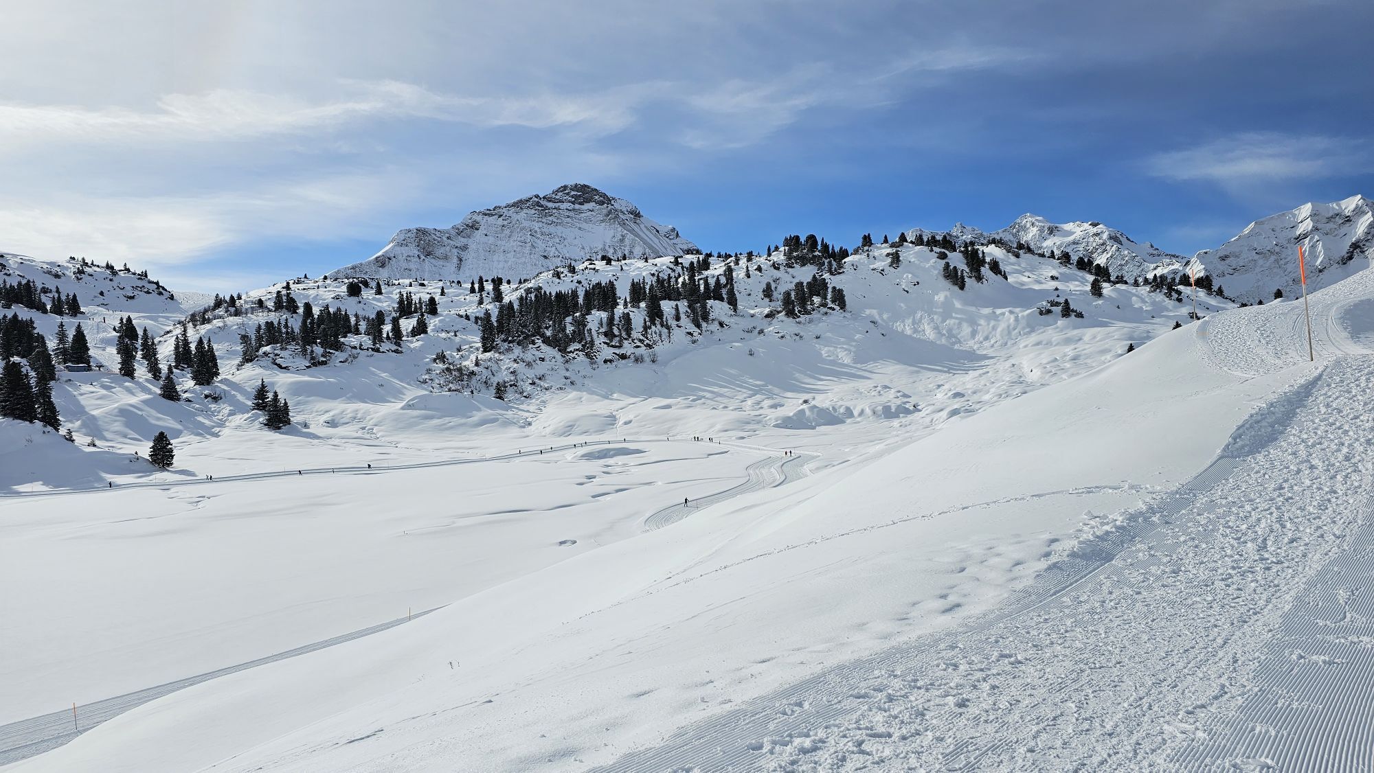
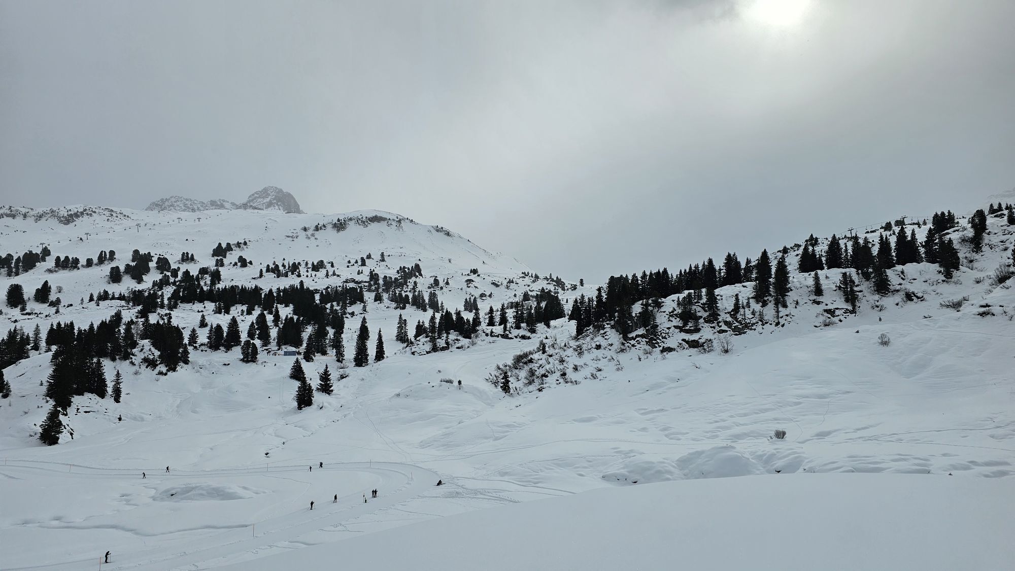
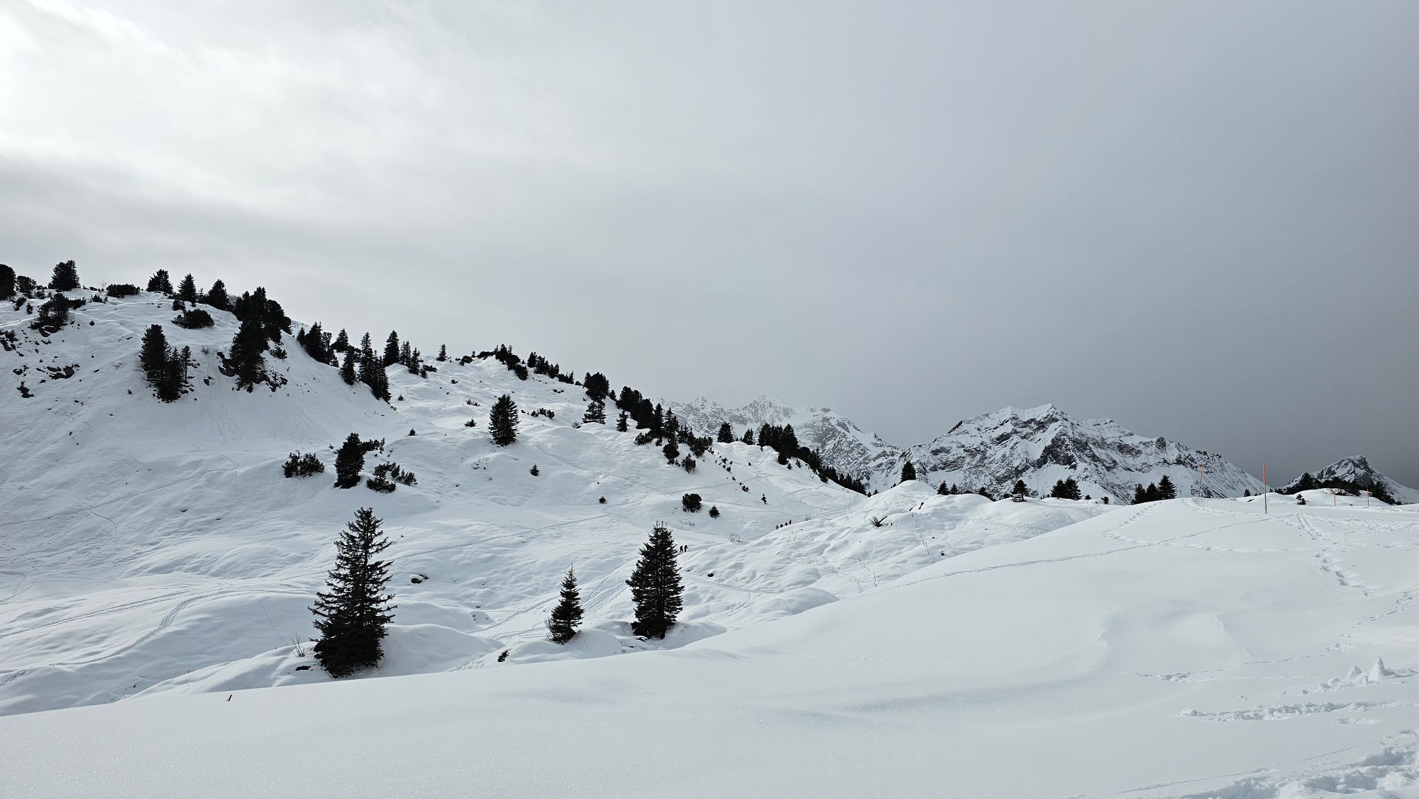
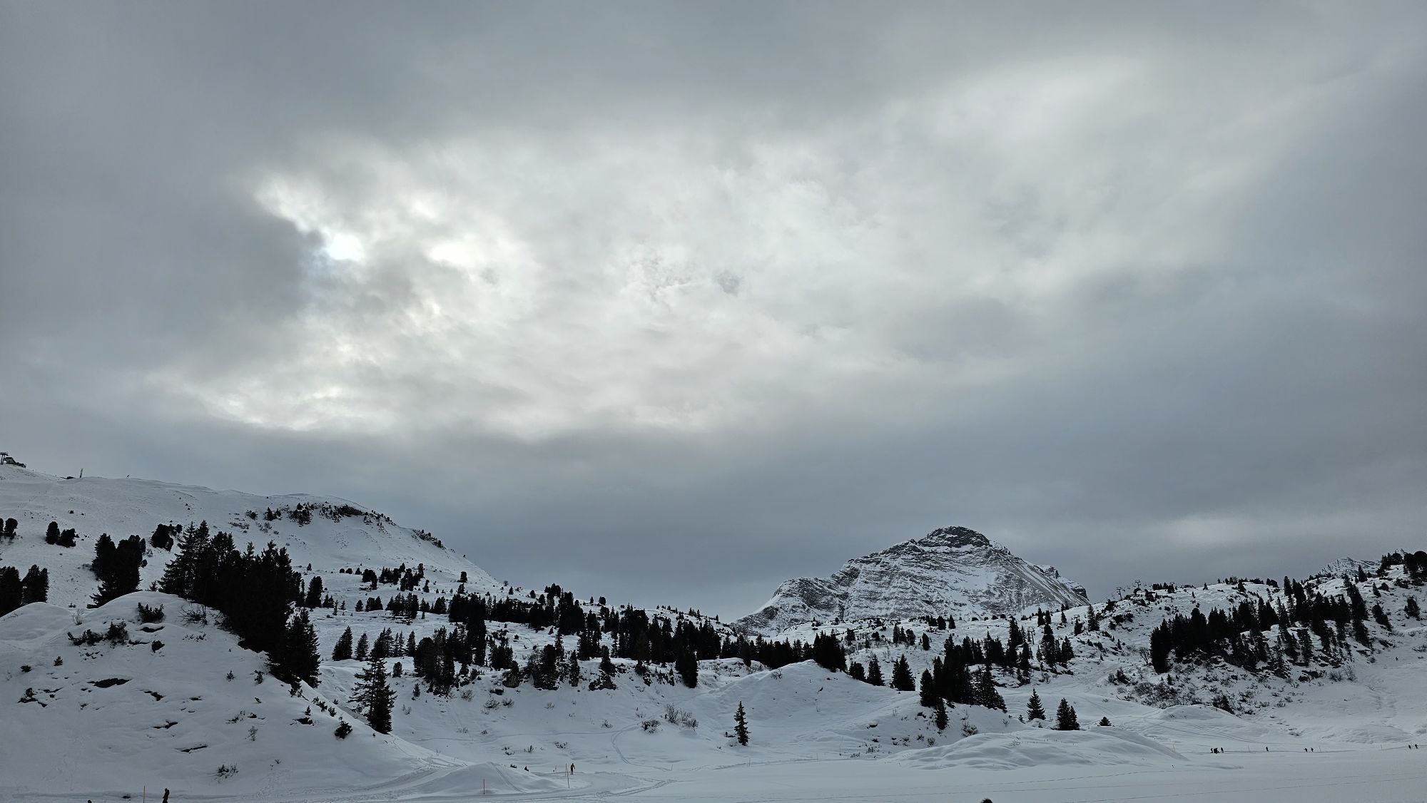
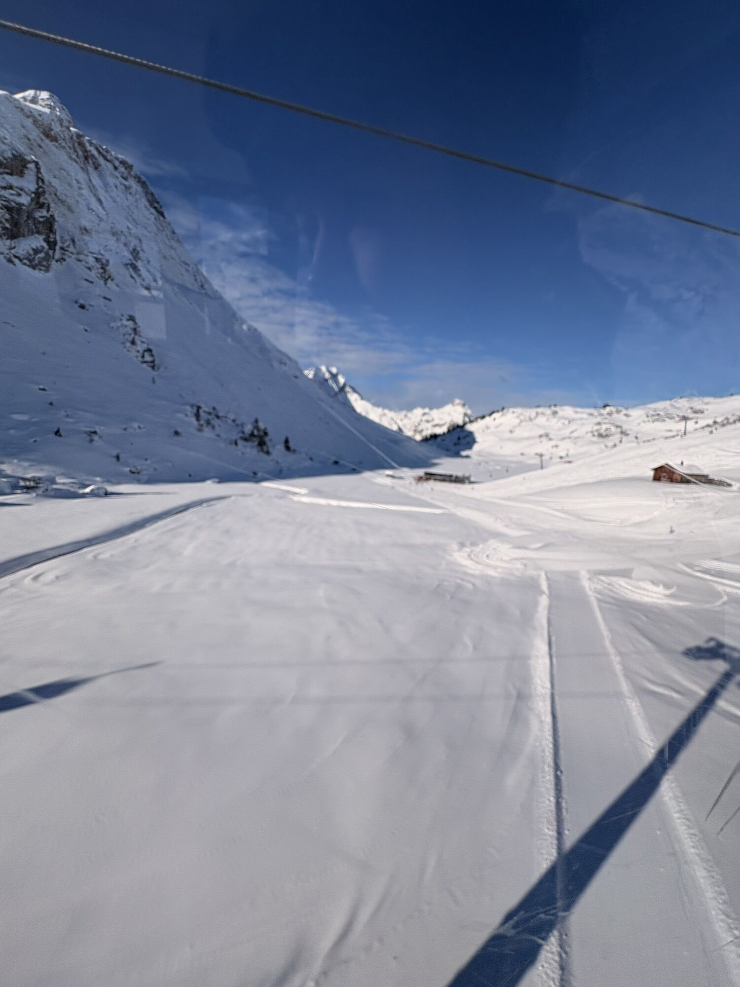
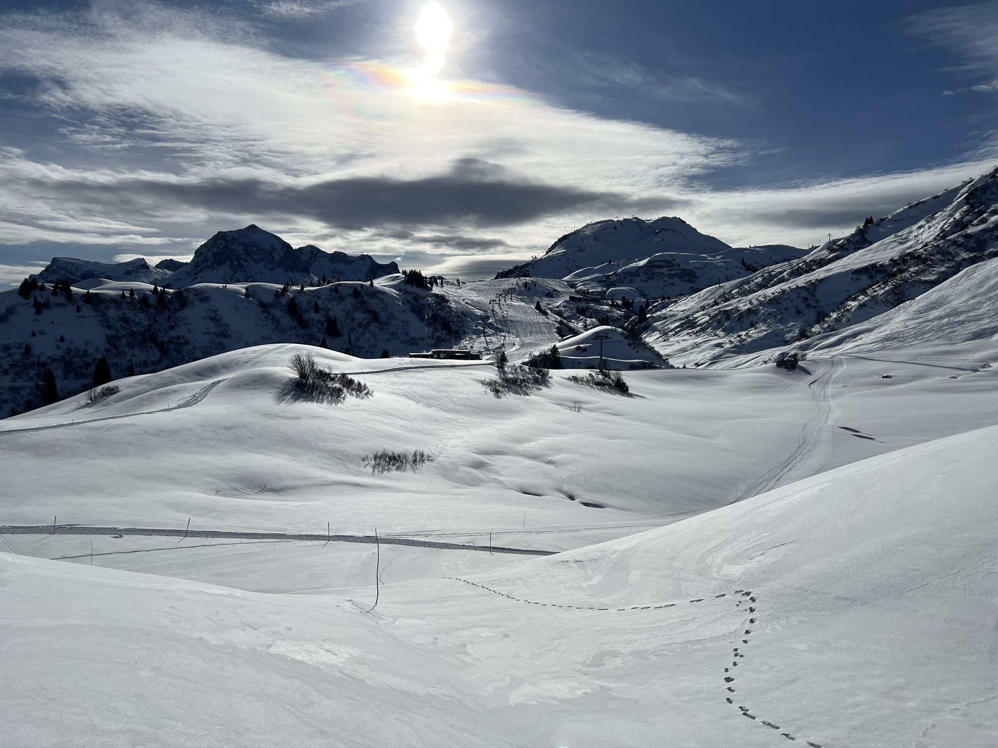
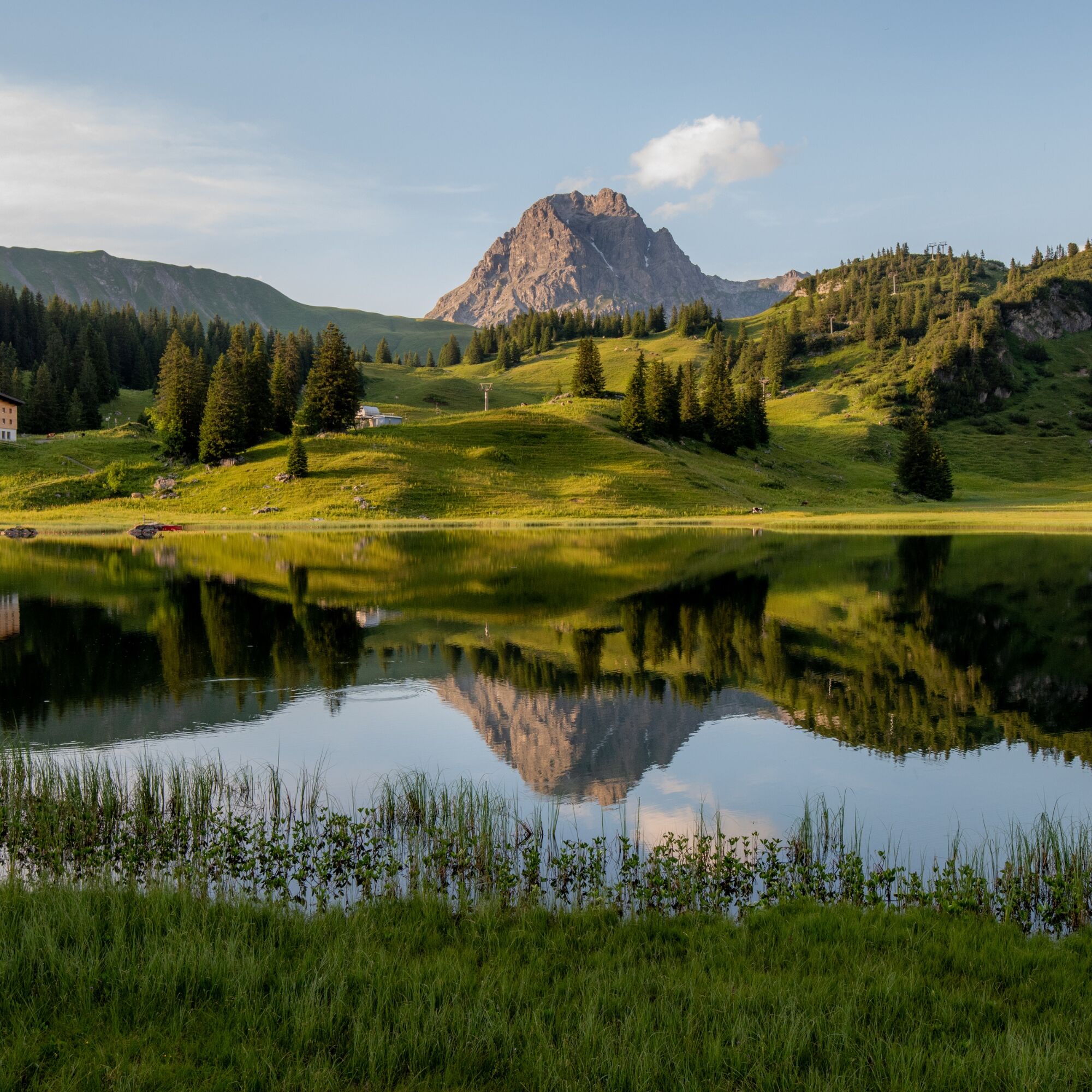
A family-friendly hike with ascent to the Gaisbühelalpe and Auenfeldsattel to the lower Auenfeldalpe. Along it goes through the beautiful meadow field until you can enjoy the view over the deep blue Körbersee. After a refreshing refreshment at the Hotel Körbersee, you go downhill along the Körbersee to the Kalbelesee lake from where you can take the bus back to Lech.
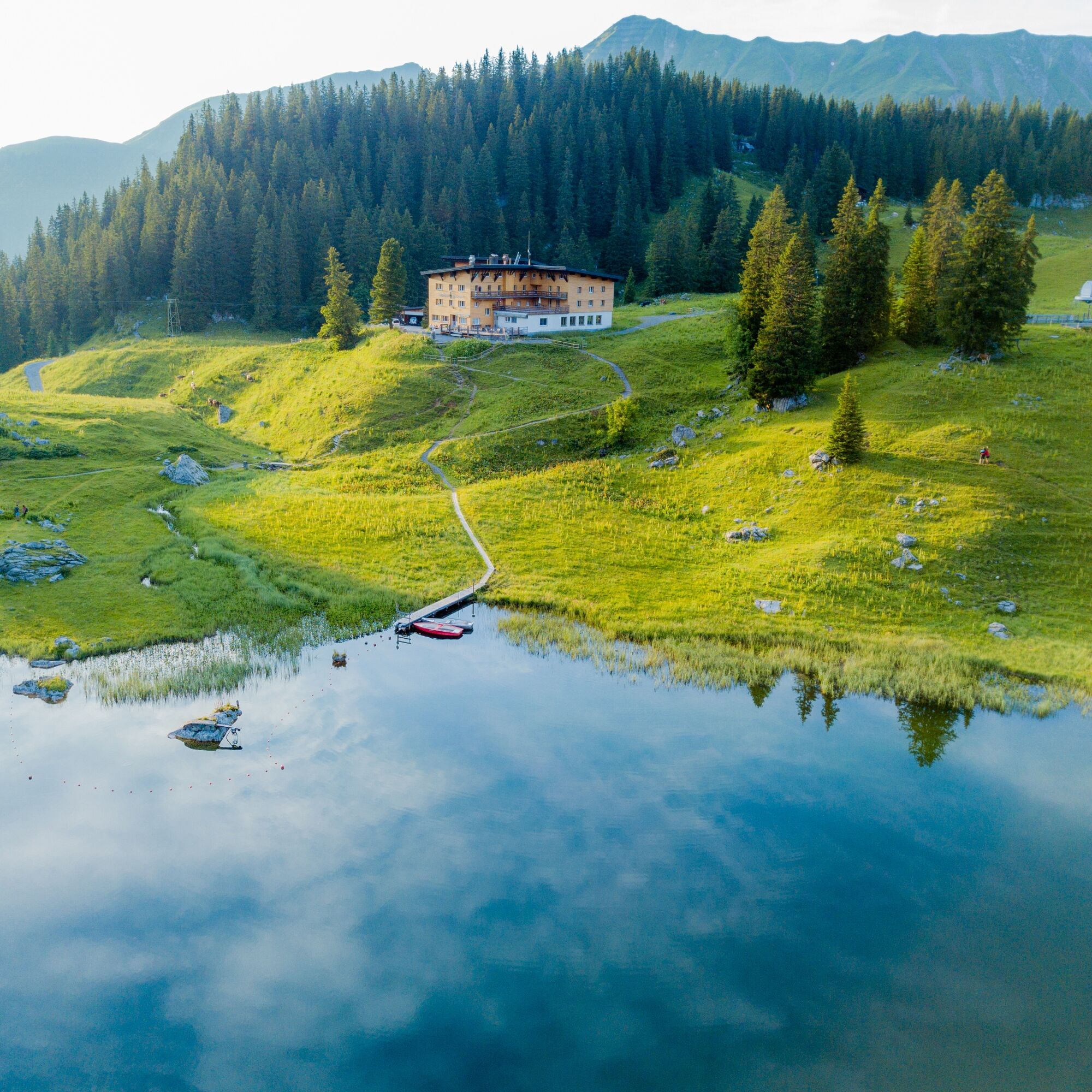
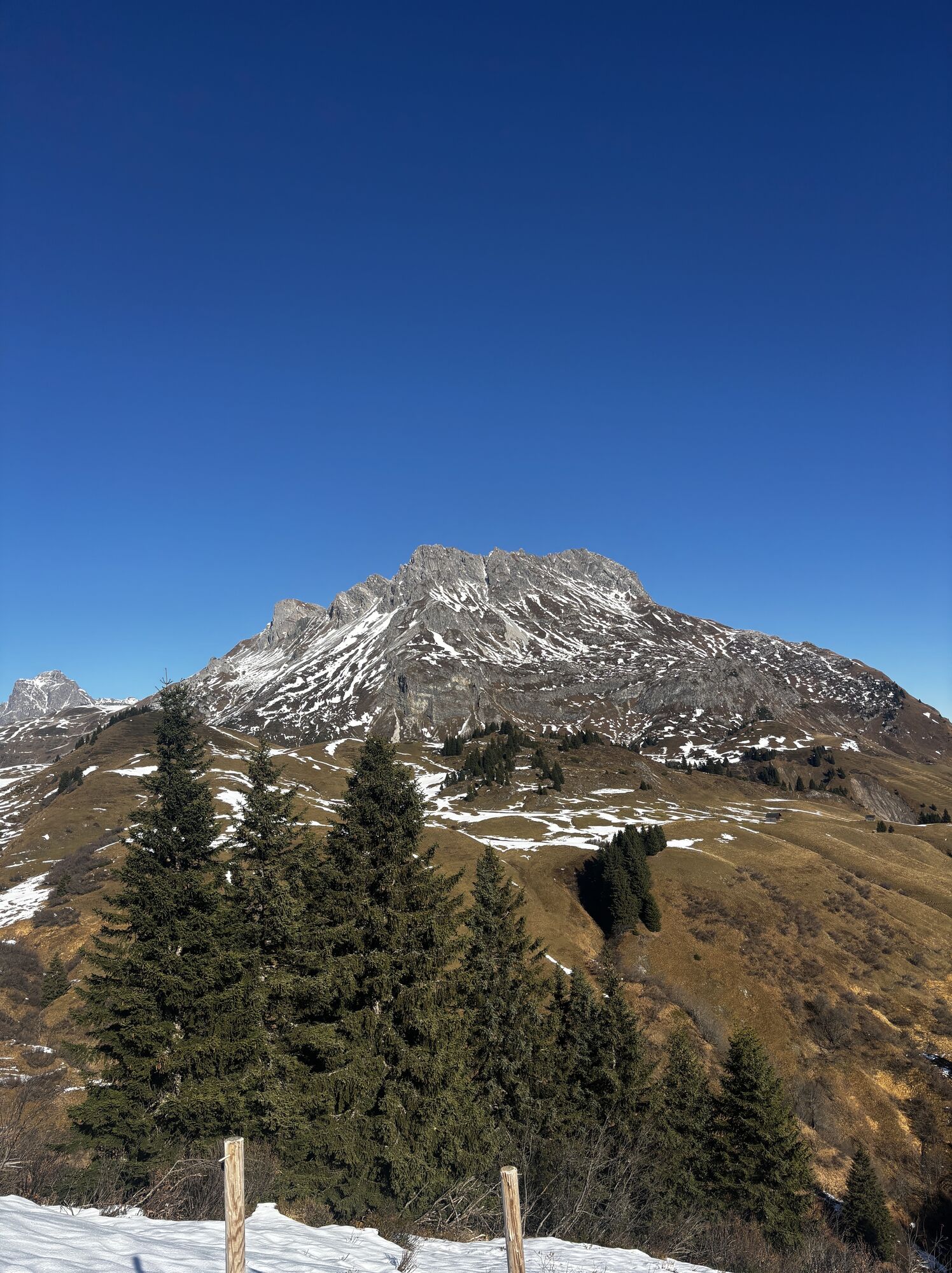
Option A: Instead of following the narrow path towards Körbersee Lake, stay on the wide alpine path that leads you directly to the ”Alpine museum on the Tannberg” and to the Batzenalpe. After visiting the museum and, if you like, taking some refreshments at the Batzenalpe, follow the alpine path uphill keeping right. The path will lead you directly to the Hotel Körbersee. From here, continue to the final point of this hike along the route described above.
Áno
Áno
Good footwear (ankle high, profile sole), rain protection, Lech Card and bus timetable.
140 Alpine Emergencies Austria-wide
144 Alpine Emergencies Vorarlberg
112 Eruo emergency call (works with any mobile phone/network)
From Switzerland: Via the A13 motorway and the Feldkirch, Hohenems or Lustenau border crossing on the A14 motorway to Bludenz. Continue on the S16 until exit Lech Zürs am Arlberg. Follow the B197 up to Alpe Rauz, turn left here onto the B198 through Flexengalerie and over the Flexenpass to Lech Zürs am Arlberg.
From Austria: Via the Inntalautobahn A12 and then via the S16 to the exit St. Anton am Arlberg (Arlberg Pass). Follow the B197 first through St. Anton, then through St. Christoph and over the Arlbergpass to Alpe Rauz. Turn right here onto the B198, drive through Flexengalerie and over the Flexenpass to Lech Zürs am Arlberg.
By train to Langen am Arlberg station or St. Anton am Arlberg. From there, buses (No. 750+760) run regularly to Lech Zürs am Arlberg.
You can either park your vehicle directly at your host’s property or use the Anger underground parking garage. The garage is located right in the town center, across from the Dorfhus Lech. The garage is open 24 hours a day. The service station is open from 8:00 AM to 5:00 PM. Cash payments are not accepted.
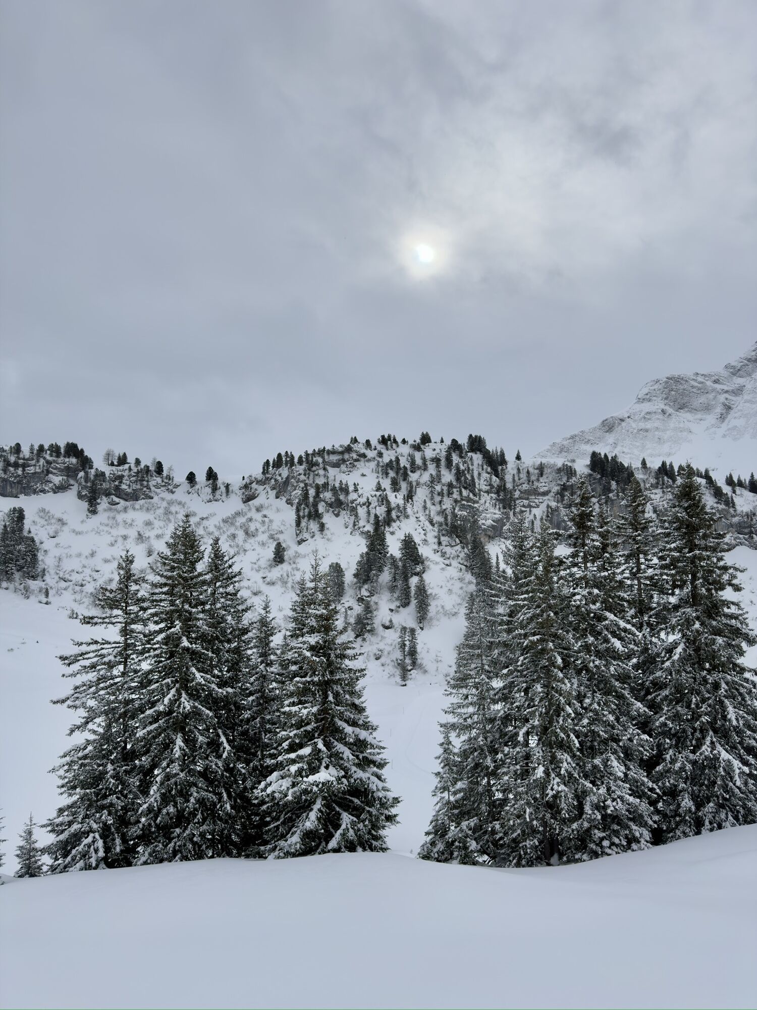
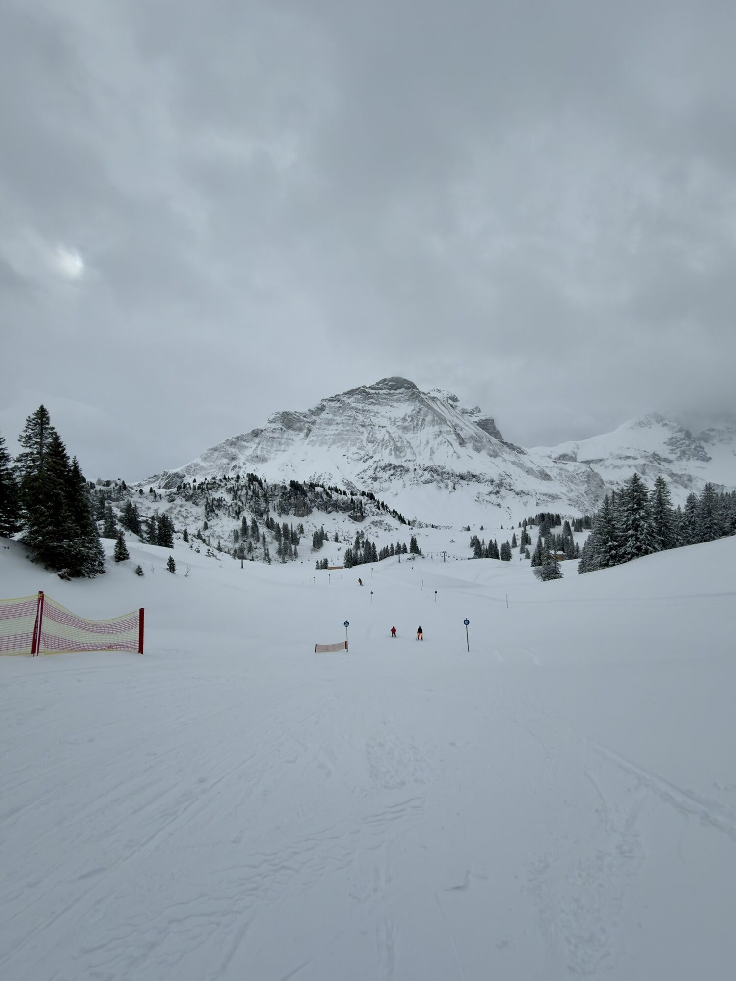
Sights: Skyspace-Lech, Alpmuseum “uf'm Tannberg” – a former alpine dairy representing the ancient heritage of the Walser people.
Refreshment stops: Restaurants in Lech am Arlberg or Oberlech, Untere Auenfeldalpe, Batzenalpe and Hotel Körbersee.
Webové kamery z prehliadky
-
Flühenlift
-
Warth / Hotel Walserberg
-
Oberlech
-
Lech am Arlberg - Hotel Goldener Berg Oberlech
-
Lech am Arlberg - Pension Bergland
-
Warth-Schröcken - Saloberarena
-
Warth-Schröcken - Saloberjet
-
Lech am Arlberg - Kriegerhornbahn
-
Schröcken
-
Körbersee
-
Warth-Schröcken - Widdersteinhütte
-
Schröcken - Oberboden
-
Zug
-
Lech am Arlberg
-
Oberlech - Pension Bergland
-
Lech - Wöstersattel
-
Schmelzhof
-
Chalet Anna Maria
-
Lech Rüfikopf
-
Skischule Warth
-
Warth
Obľúbené výlety v okolí
-
4,5
Mountain tour over the Fellhorn ridge
strednáTuristika 8,24 km -
4,7
Widderstein Runde von Baad
strednáTuristika 15,8 km -
4,3
Circular hike through the Bärgunttal
strednáTuristika 4,75 km -
4,2
Hiking through the Schwarzwassertal via Melköde to the Schwarzwasserhütte
strednáTuristika 5,08 km -
4,3
Kanzelwand- Fellhorn- Kanzelwand
svetloTuristika 7,60 km -
4,8
Biberkopf
ťažkéTuristika 7,70 km -
4,3
Circular hike through the Derratal
strednáTuristika 8,11 km -
4,8
Circular hike through the Gemsteltal
svetloTuristika 5,53 km -
3,4
Mountain tour over the Hoher Ifen
ťažkéTuristika 14,3 km -
4,6
Ifenhütte, Hahnenköpfle, Gottesacker und zurück
strednáTuristika 6,08 km

Turistika a stopovanie


Nenechajte si ujsť ponuky a inšpiráciu na ďalšiu dovolenku
Vaša e-mailová adresa bol pridaný do poštového zoznamu.