







Hollandiahütte SAC
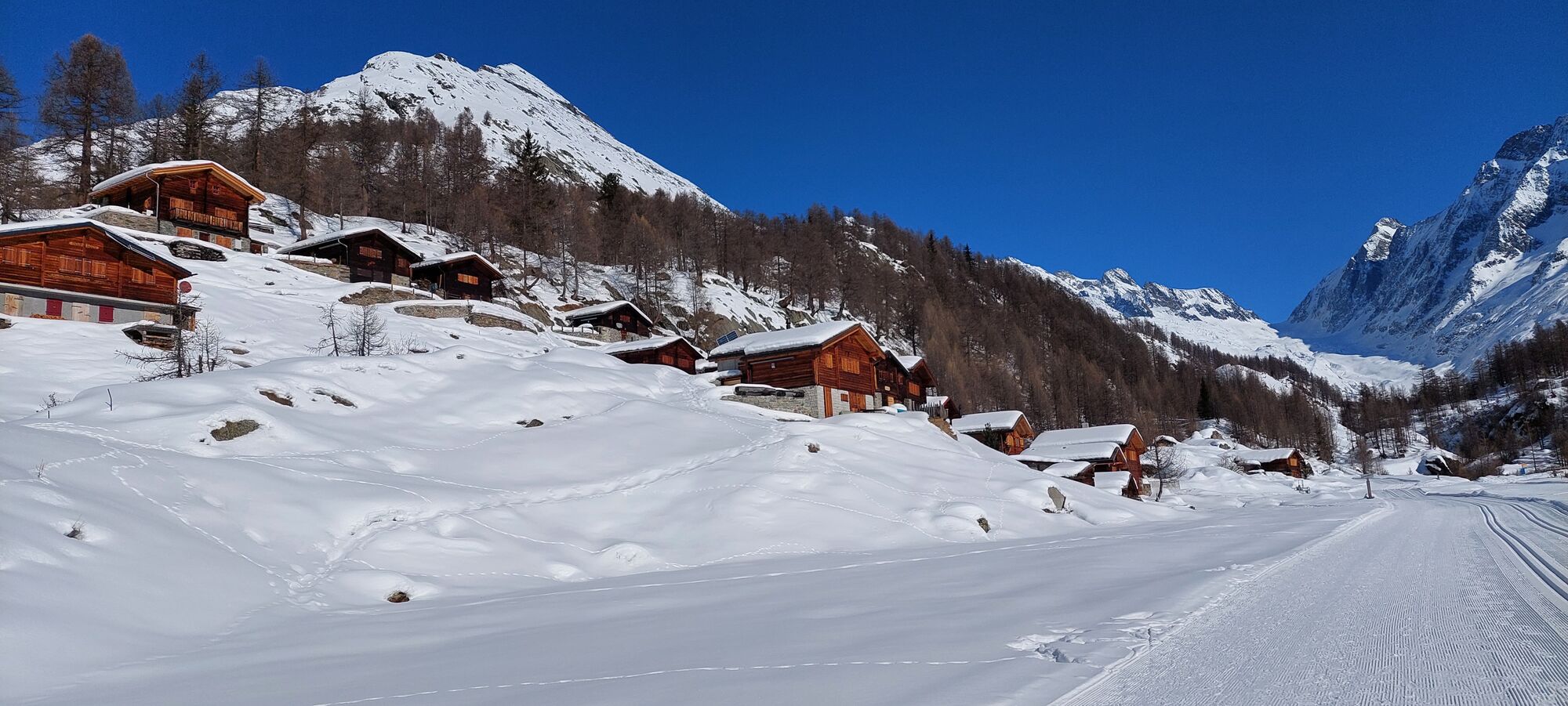
The marked mountain path leads from the Fafleralp past the Alp huts of Guggistafel to the Guggisee. At 2,108 m altitude, a bridge crosses the Anenbach, which is fed by the Jägi glacier, and the route rises...
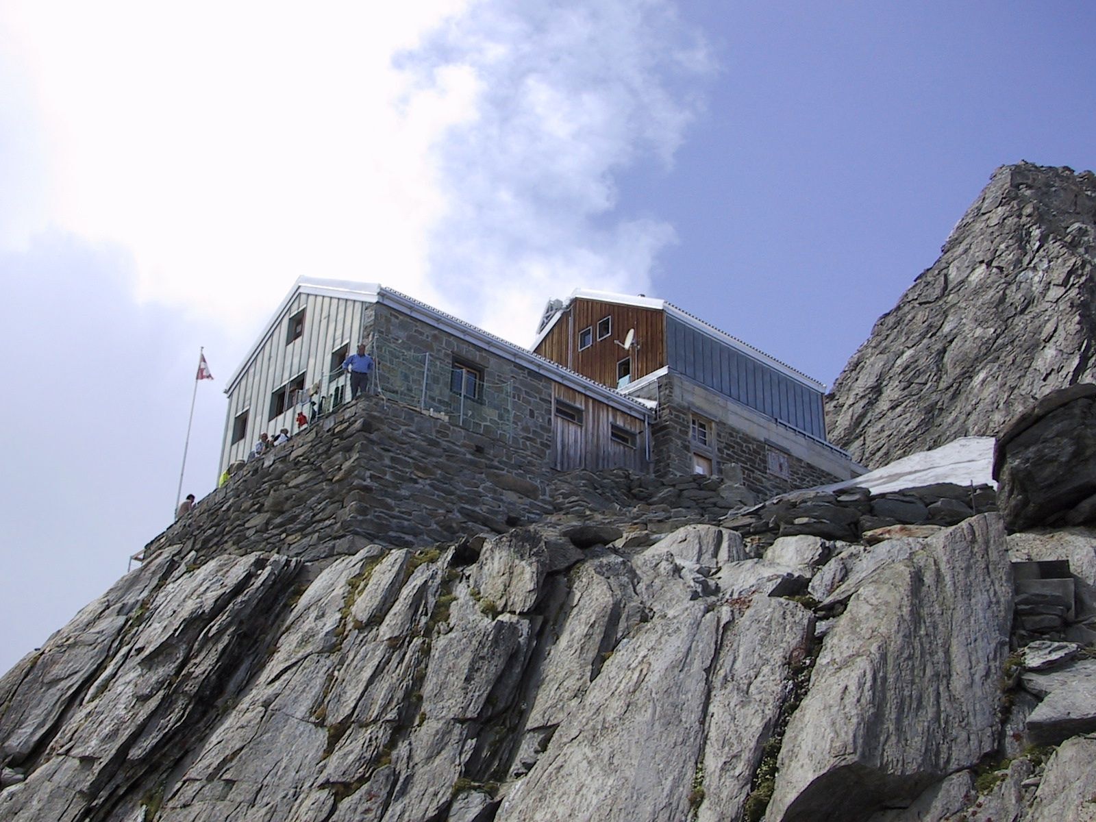
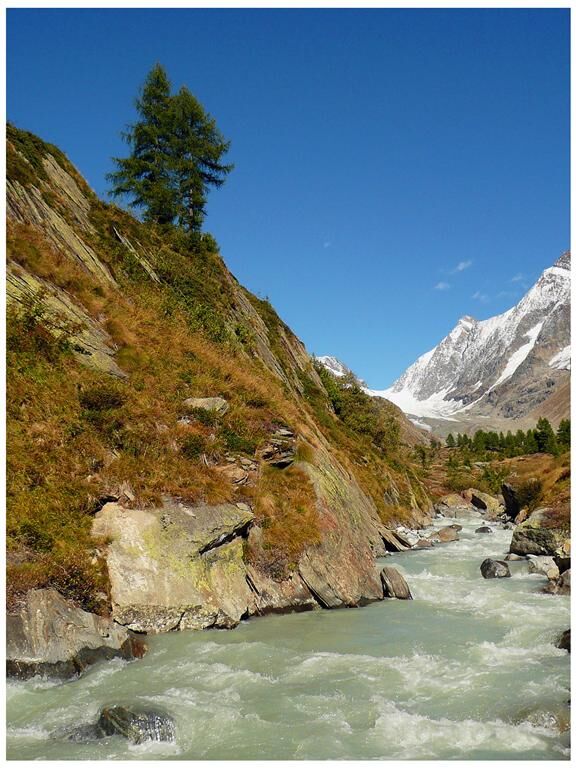
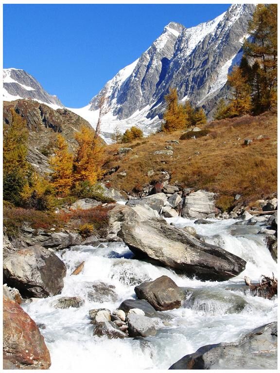
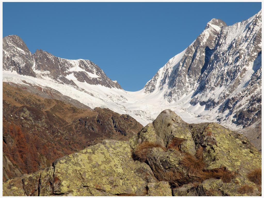
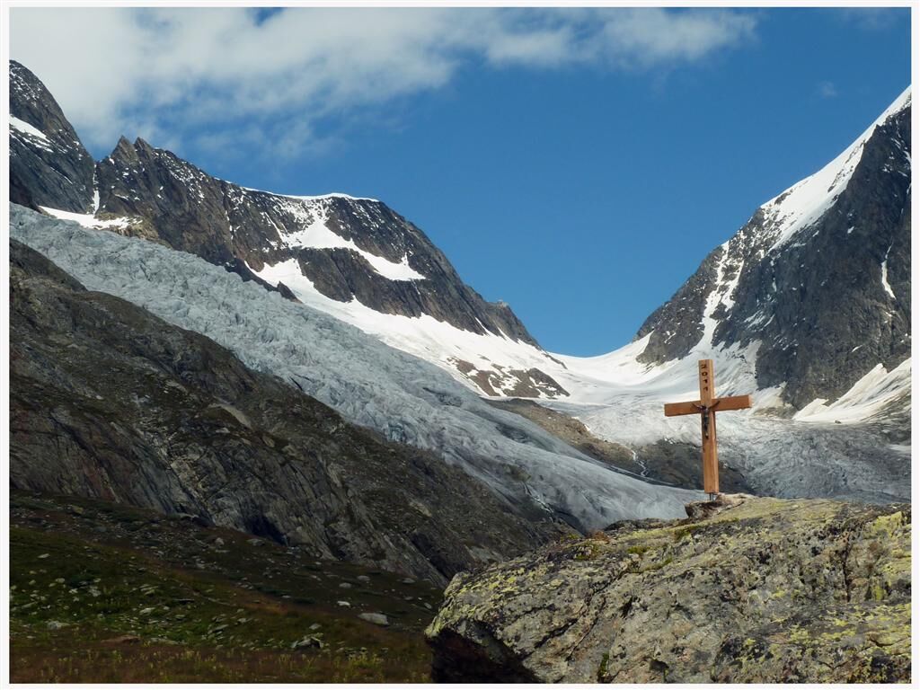
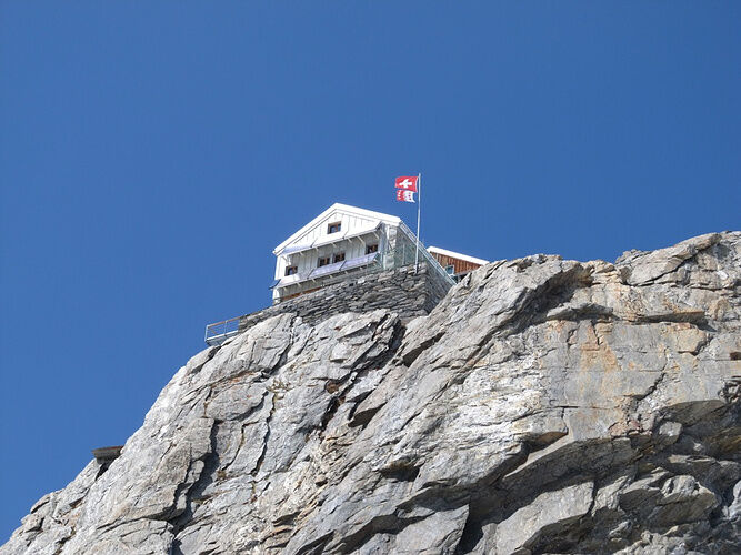
The marked mountain path leads from the Fafleralp past the Alp huts of Guggistafel to the Guggisee. At 2,108 m altitude, a bridge crosses the Anenbach, which is fed by the Jägi glacier, and the route rises more steeply. From the Anen hut, you can enjoy the view of the entire Lötschental and the impressive glacier world. From the Anen hut begins the ascent to the Lötschenlücke. At the end of the mountain path, you enter the Lang glacier, cross it in the middle and climb under the steep rock walls of the Schinhorn, which descend onto the glacier, to the widely visible Lötschenlücke. Like an eyrie, the Hollandiahütte SAC, which you reach shortly afterwards, clings to the rocks. The panorama from this high-altitude SAC hut is indescribable.


Further access options:
Blatten - Anen hut - Lötschenlücke - Hollandiahütte SAC (WS) Sphinx tunnel - Konkordia place - Hollandiahütte SAC (L)The Hollandiahütte is the starting point for further routes:
Hollandiahütte SAC - Äbeni Flue Hollandiahütte SAC - Anujoch - Mittaghorn Hollandiahütte SAC - Great Aletschfirn - Konkordia hut Hollandiahütte SAC - Lötschenlücke - Anen hut Hollandiahütte SAC - Glacier horn Hollandiahütte SAC - Kranzberg Hollandiahütte SAC - Saddle horn Hollandiahütte SAC - AletschhornWith the 1:25,000 hiking map you are perfectly equipped for an unforgettable hiking day in the Lötschental. Available at the Lötschental info point in Wiler or at www.loetschental.ch/webshop
High mountain route for sure-footed mountaineers.
Alpine equipment (crampons, etc.) is necessary for this route.
We recommend a state-certified mountain guide for every mountain route.
Plan each route carefully.
Ensure suitable and complete equipment.
Never go on a route alone.
Inform relatives, acquaintances, the hut warden or the hotel porter about your route. Report back upon arrival at your destination.
Constantly observe the weather development.
Follow the principle: turn back in case of doubt!
From Goppenstein you drive into the Lötschental, passing the villages Ferden, Kippel, Wiler, and Blatten up to the Fafleralp.
From Gampel/Steg or Goppenstein, the PostBus takes you up to the Fafleralp.
You can park your car at the Fafleralp parking lot (paid).
For this route we recommend our mountain guides in the Lötschental:
Jaggy Benedikt Tel. +41 (0)79 774 83 20 Fleck Lutz Tel. +41 (0)79 629 47 33The Hollandiahütte at a glance:
Accommodation for 80 people Starting point for Ebnefluh, Mittaghorn, Aletschhorn, and many more Property of the SAC Bern section More information at: Tel. +41 (0)27 939 11 35, www.hollandiahuette.chObľúbené výlety v okolí
-
4,8
Lötschentaler Höhenweg
svetloTuristika 9,17 km -
UNESCO Höhenweg
Turistika 3,70 km -
5,0
BELALP - SPARRHORN
ťažkéTuristika 11,2 km -
5,0
Rundwanderung Anenhütte
strednáTuristika 10,2 km -
4,7
Northface Trail
Turistika 5,38 km -
4,0
Panoramaweg über den Aletschgletscher
strednáTuristika 17,7 km -
Via ferrata Mürren
strednáVia ferrata 2,20 km -
4,8
SUSPENSION BRIDGE RIEDERALP - BELALP
strednáTuristika 11,5 km -
Lauterbrunnen - Schilthorn
strednáTuristika 14,8 km -
Gimmelwald - Tanzbödeli - Oberhornsee - Stechelberg
strednáTuristika 22,3 km
Turistika a stopovanie


Nenechajte si ujsť ponuky a inšpiráciu na ďalšiu dovolenku
Vaša e-mailová adresa bol pridaný do poštového zoznamu.





