







SUSPENSION BRIDGE RIEDERALP - BELALP
Úroveň náročnosti: T2
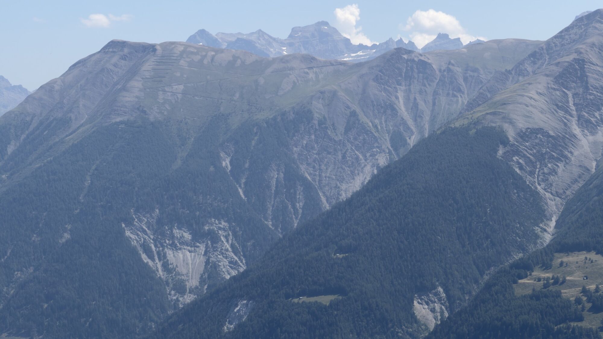
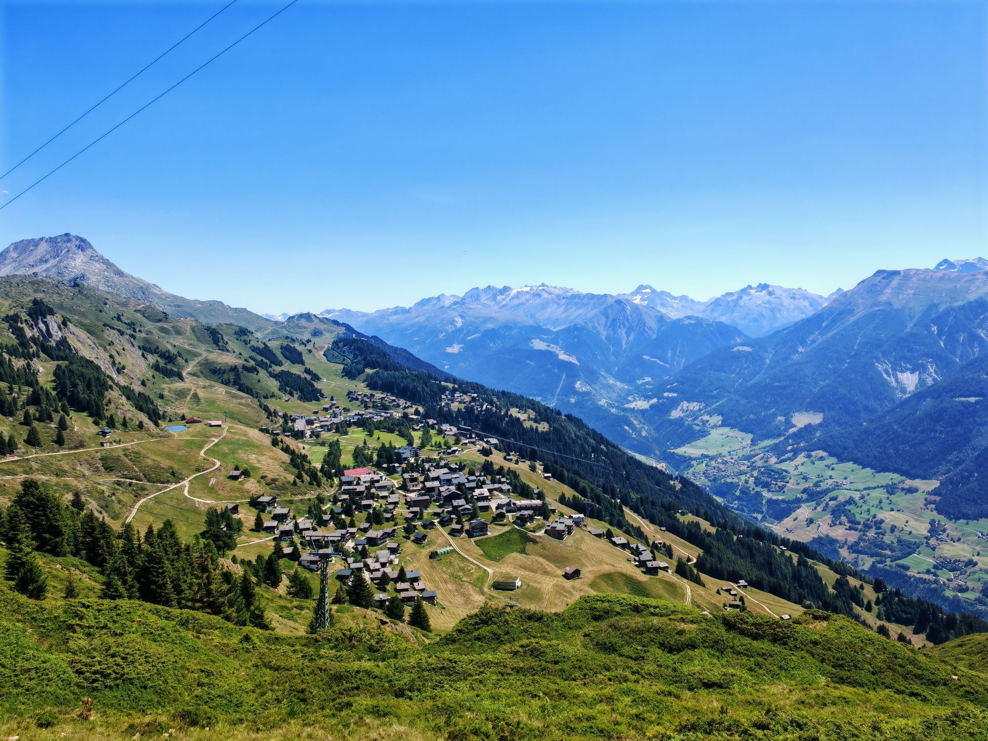
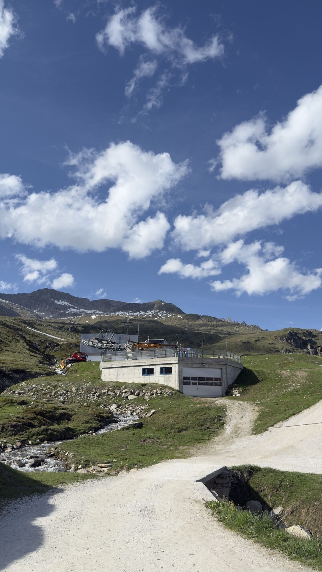
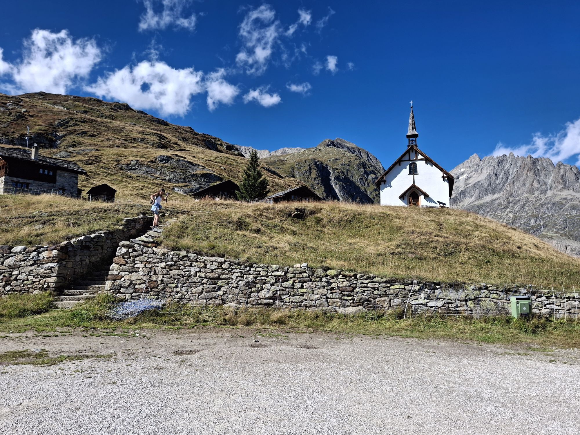
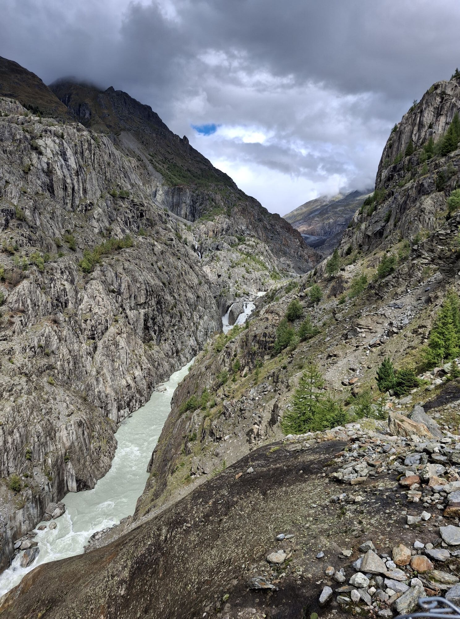
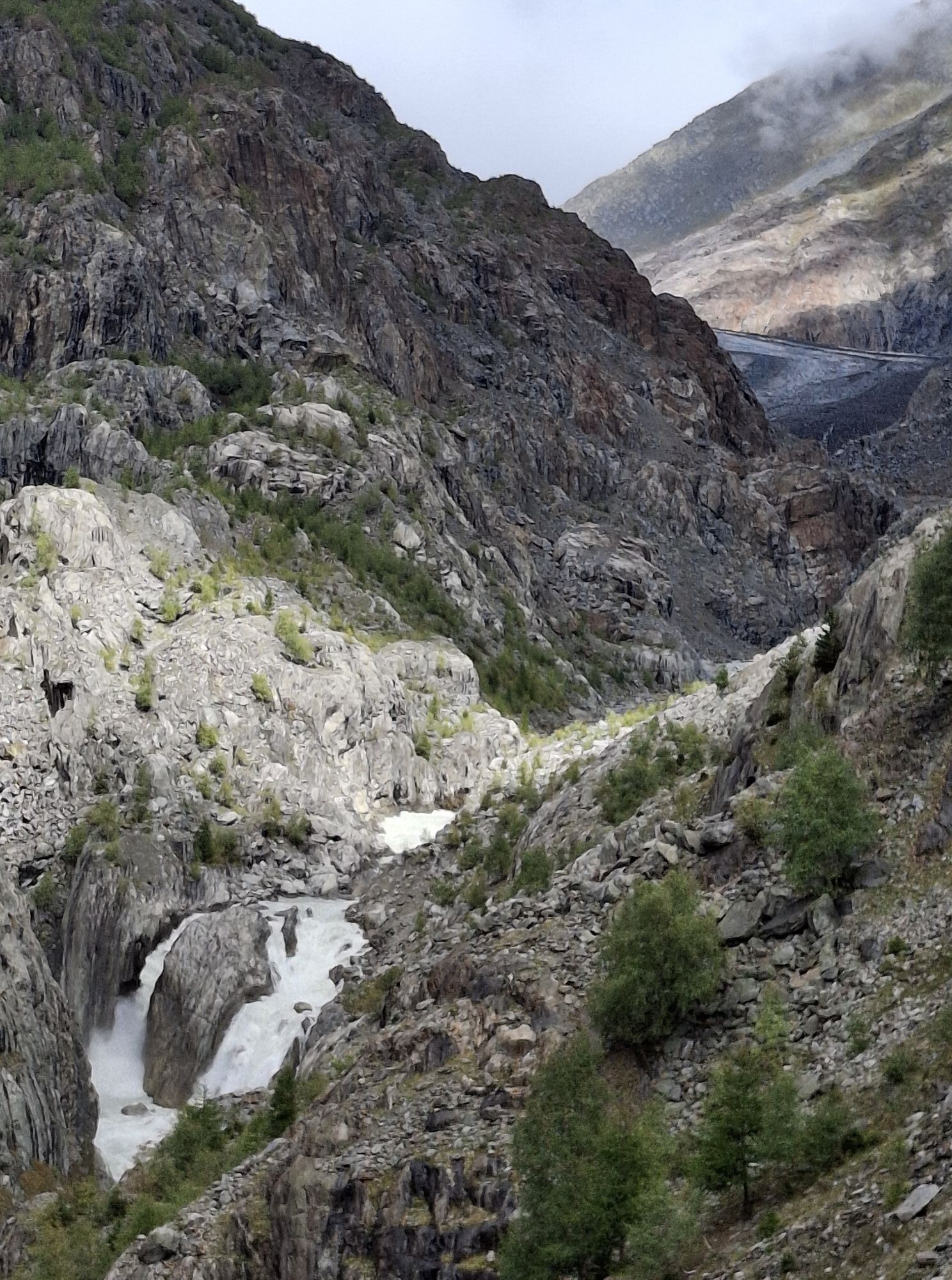
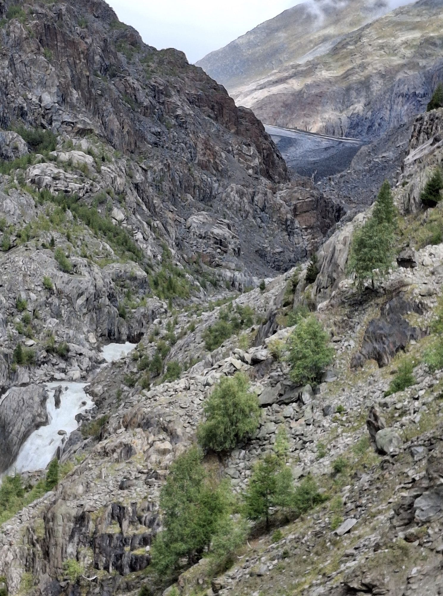
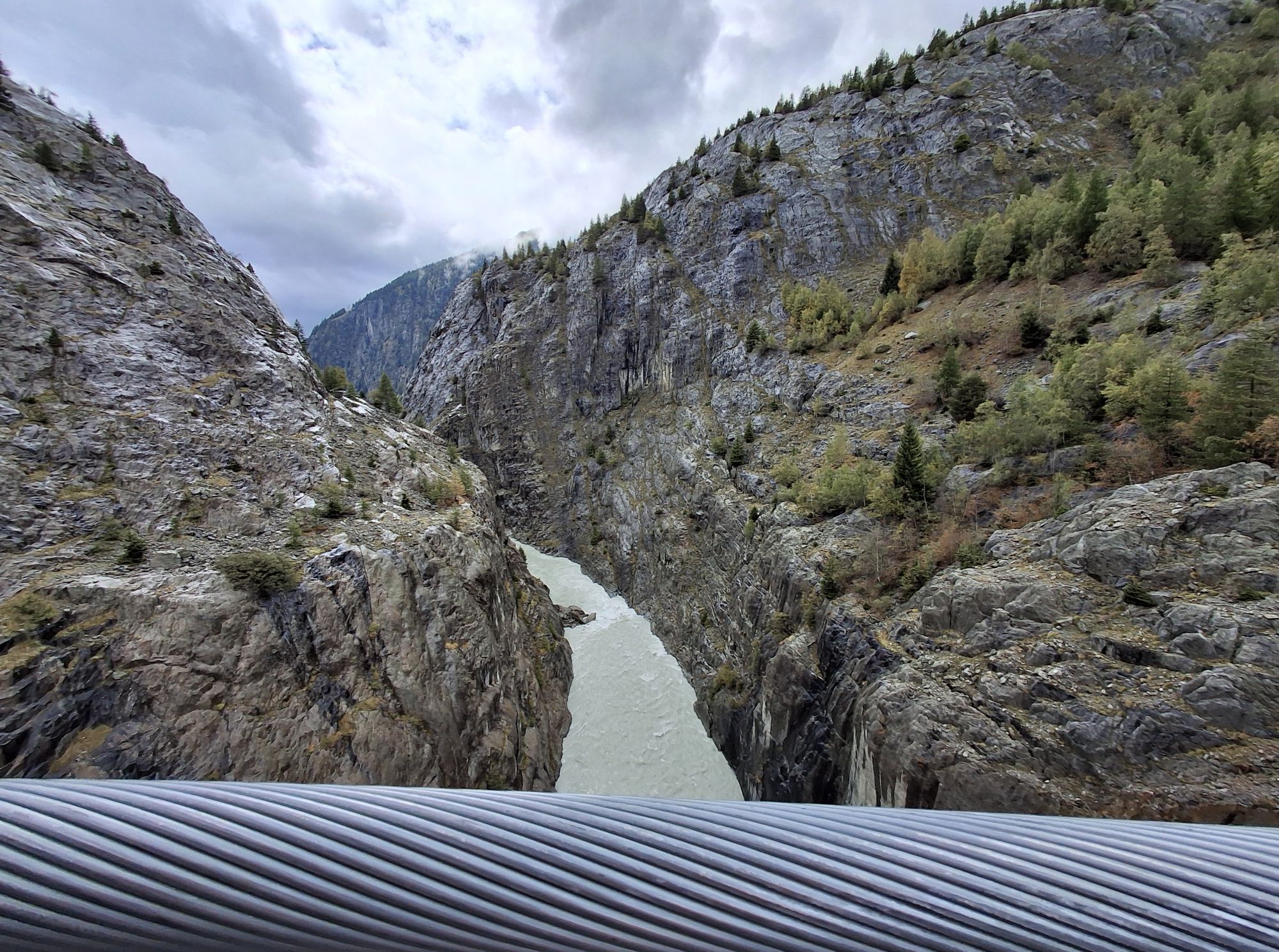
The 124 m long suspension bridge is one of the hiking highlights in the Aletsch area. At 80 m height, it leads you directly in front of the glacier gate of the Great Aletsch Glacier over the Massa Gorge...
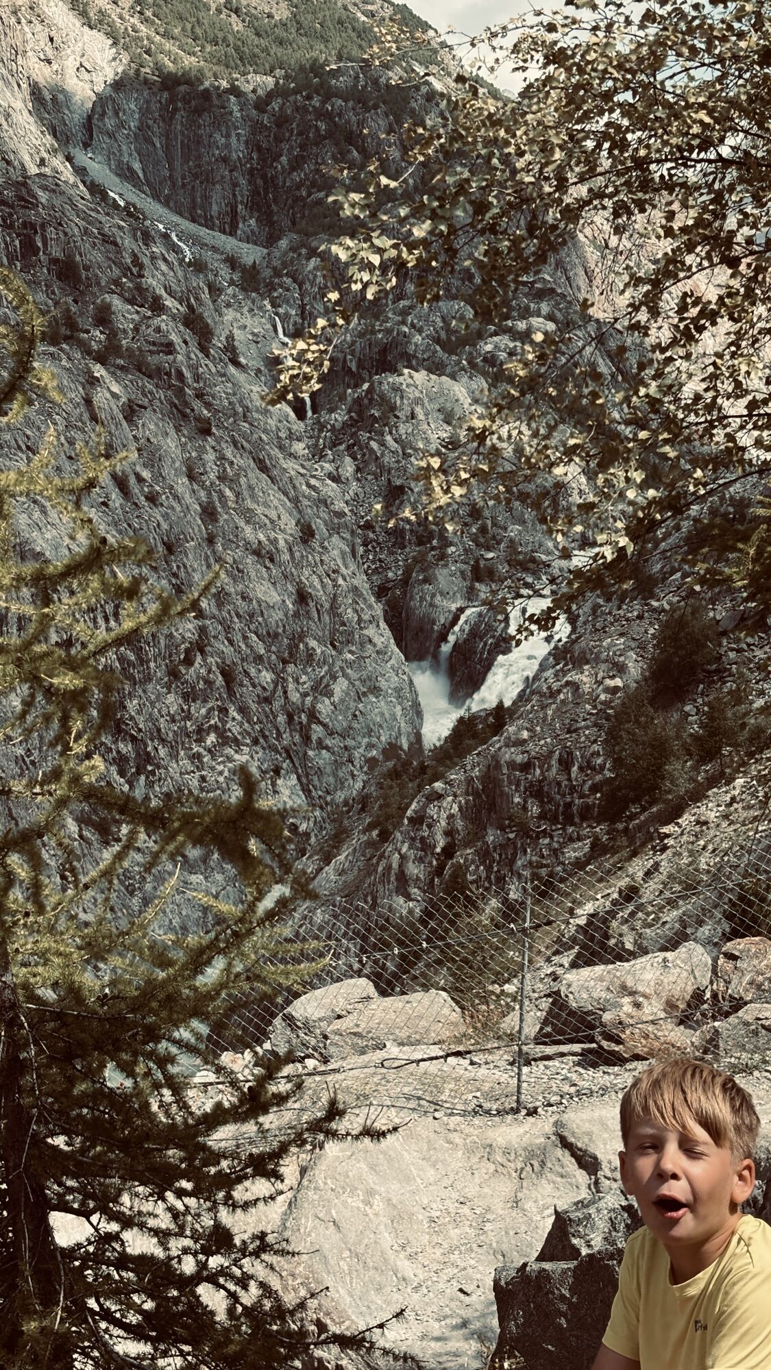
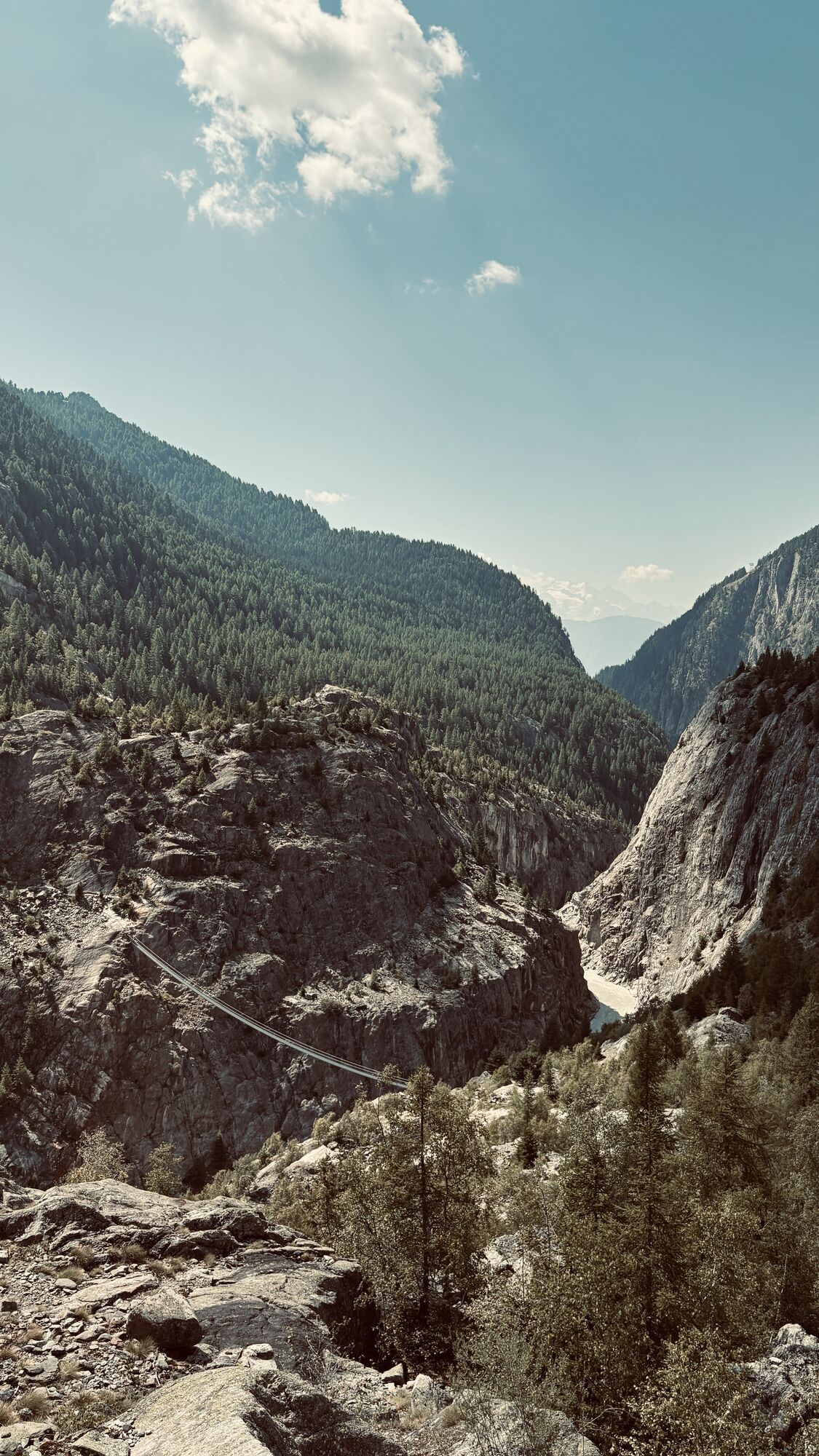
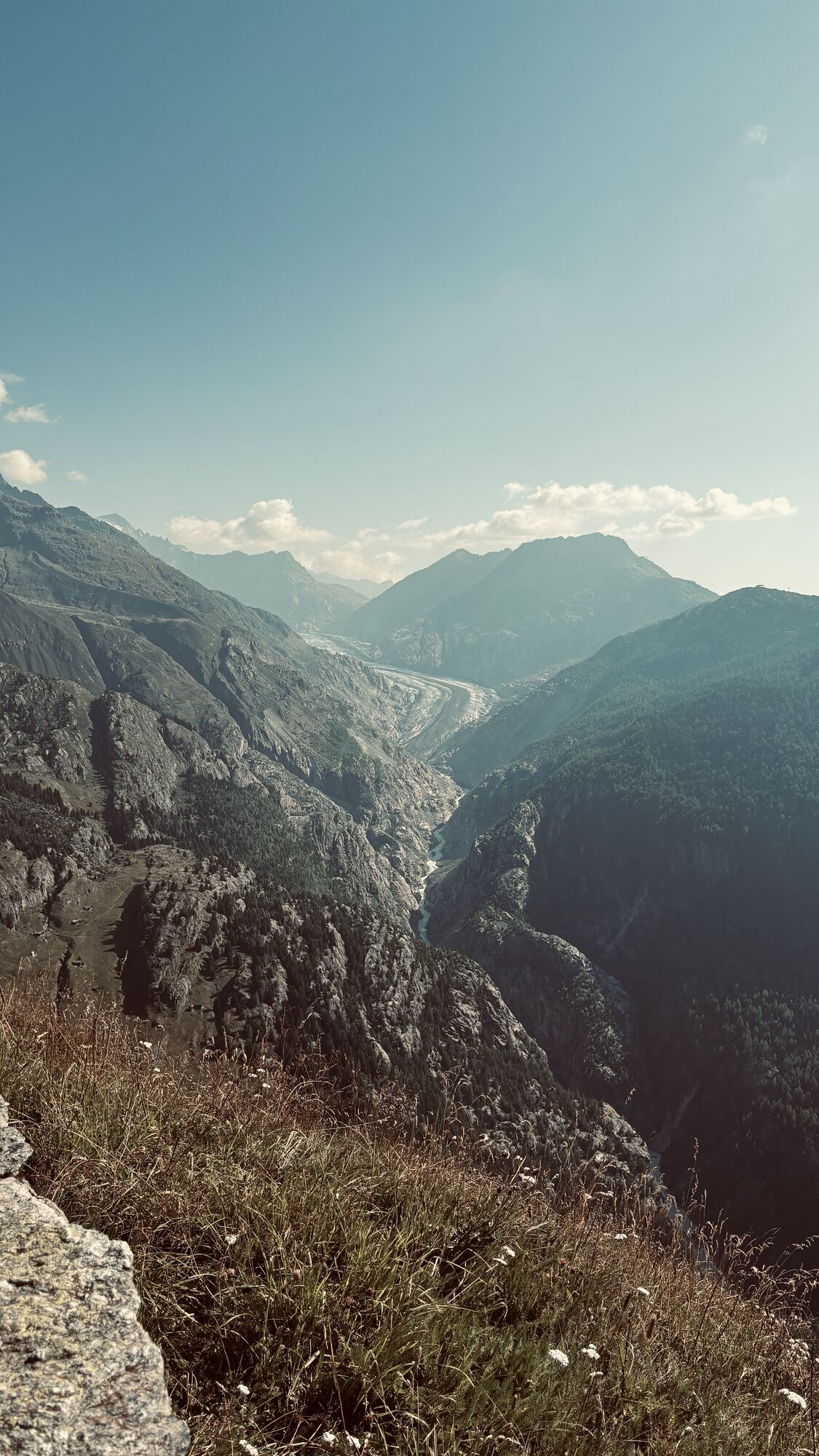
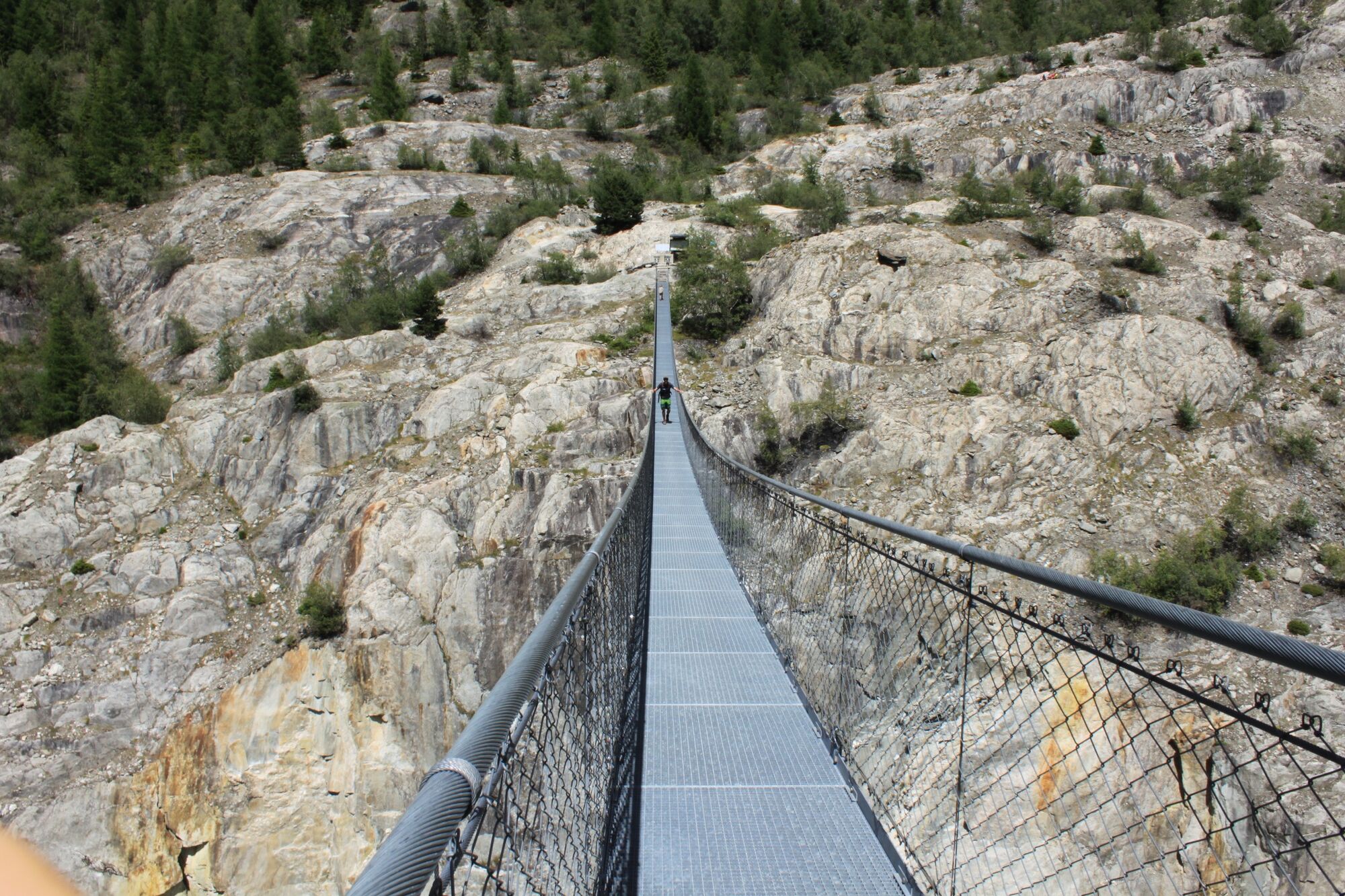
The 124 m long suspension bridge is one of the hiking highlights in the Aletsch area. At 80 m height, it leads you directly in front of the glacier gate of the Great Aletsch Glacier over the Massa Gorge and thus connects Belalp with Riederalp. The deep view into the Massa Gorge guarantees thrills and is an impressive experience.
Previously, one could cross from Belalp to Riederalp via the Aletsch Glacier, but due to glacier retreat, this is no longer possible today. The suspension bridge, built in 2008, restores this old connection; all in cooperation with Pro Natura, WWF and the UNESCO World Heritage Swiss Alps Jungfrau-Aletsch.

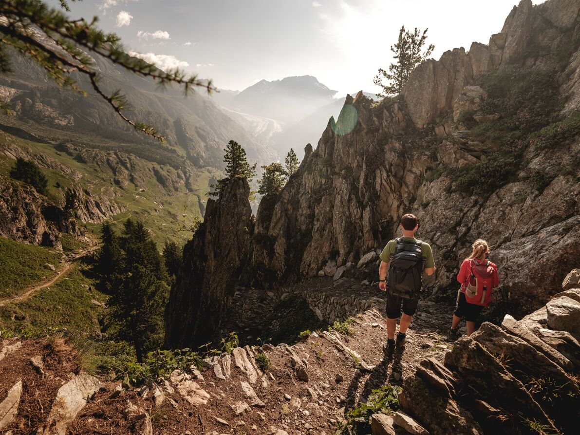
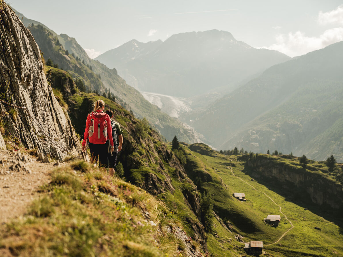
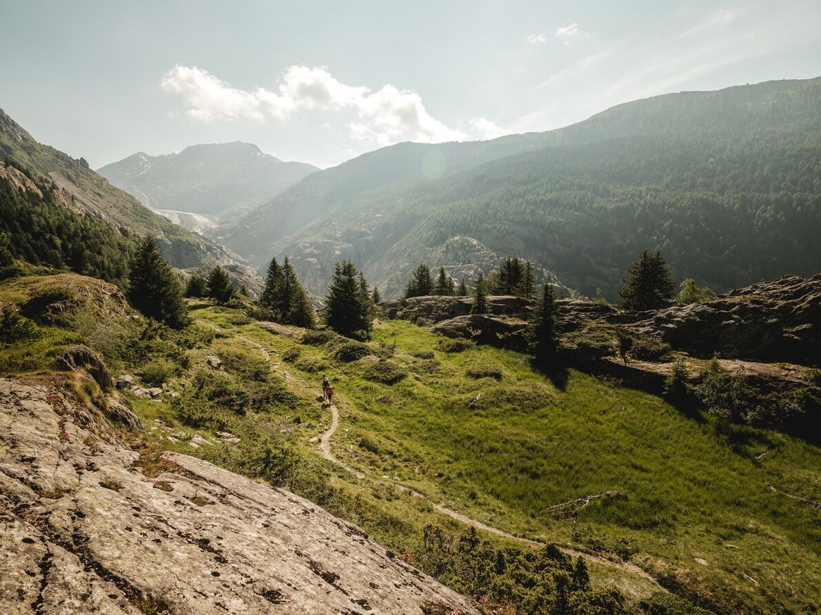
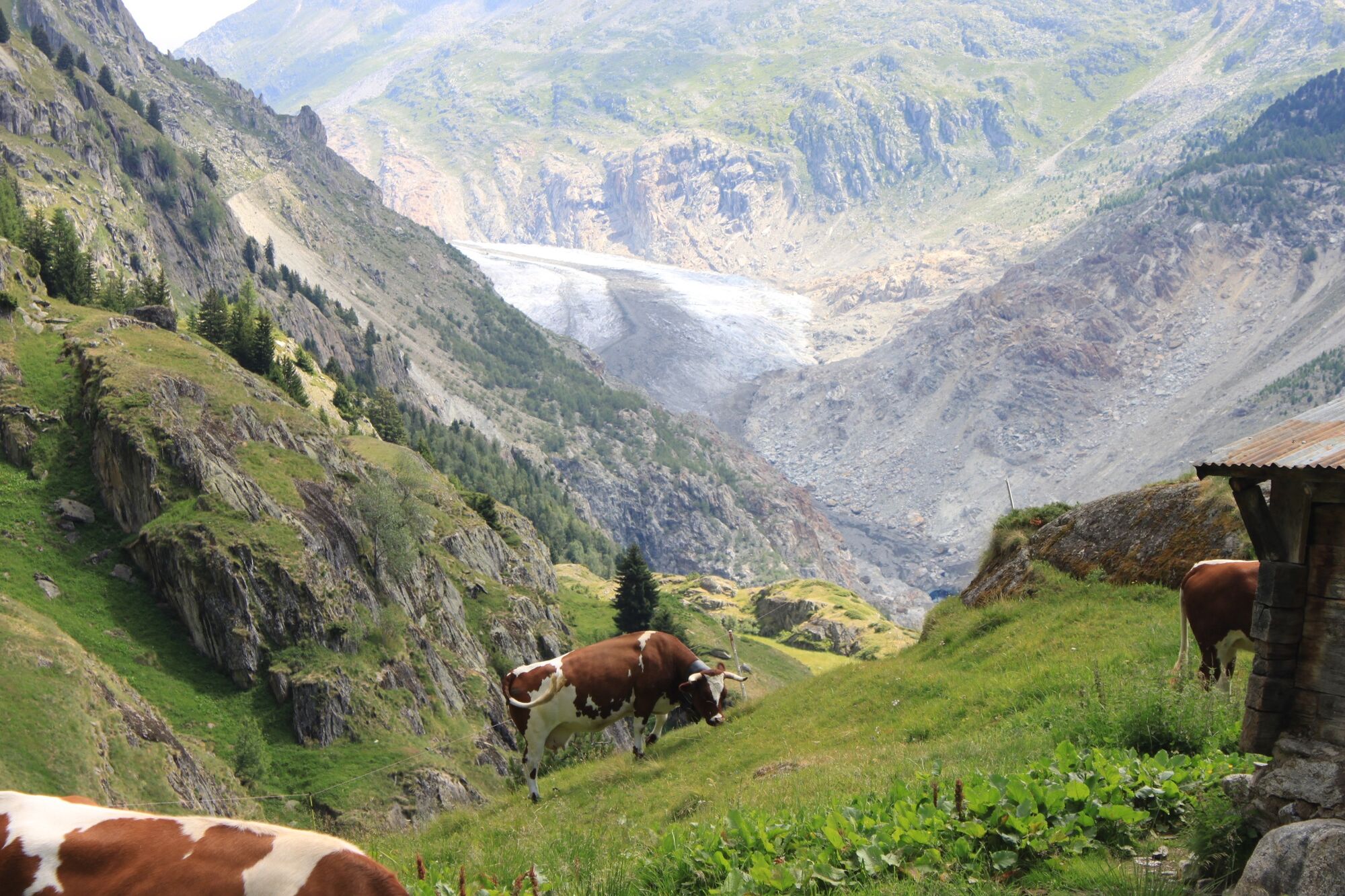
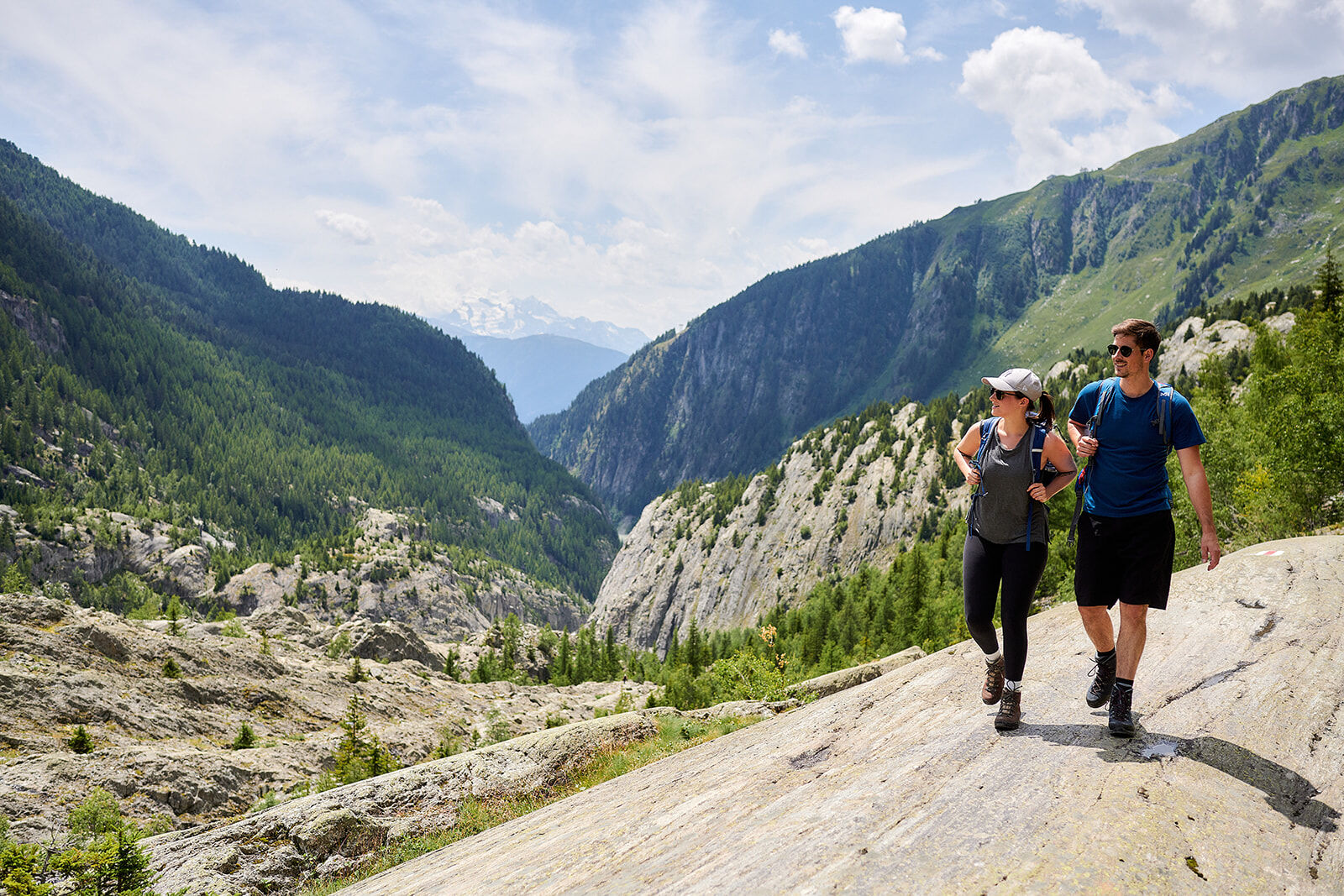
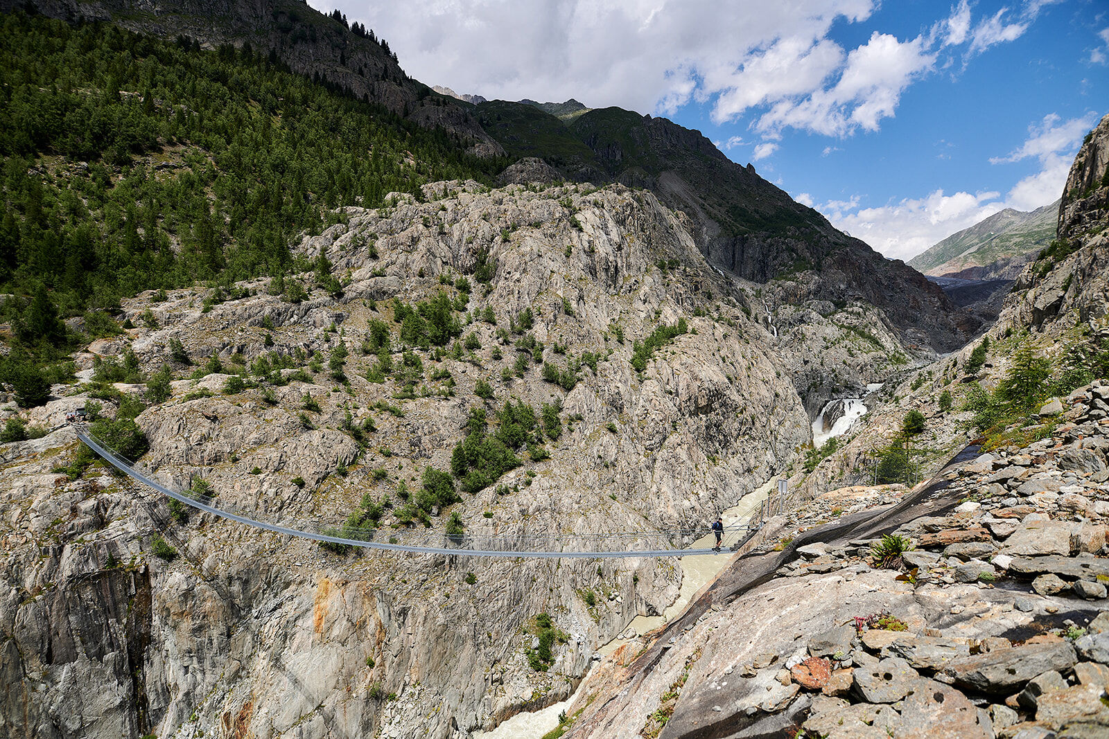
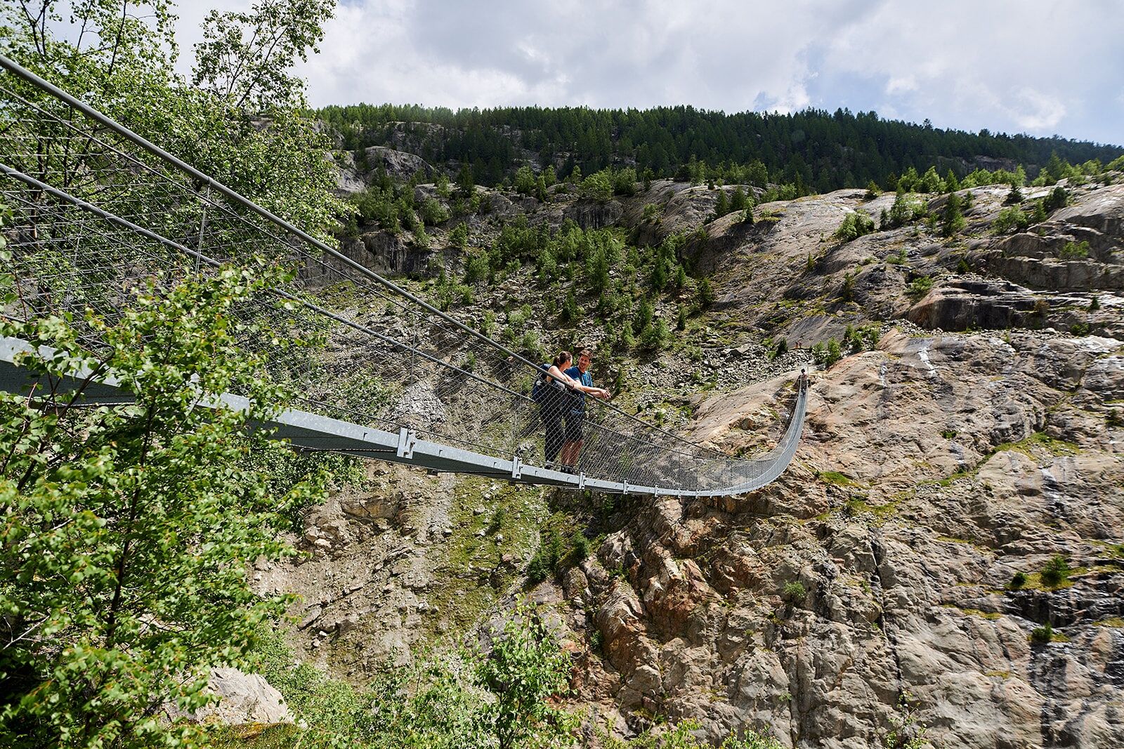
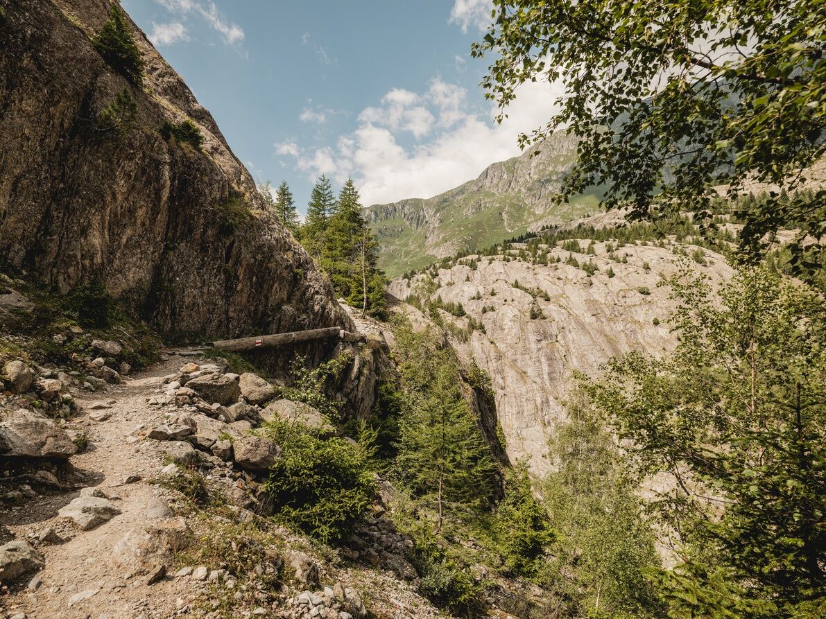
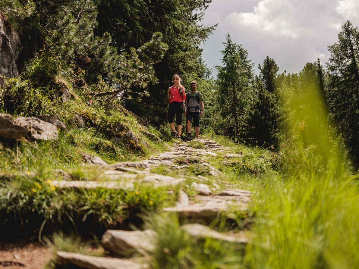
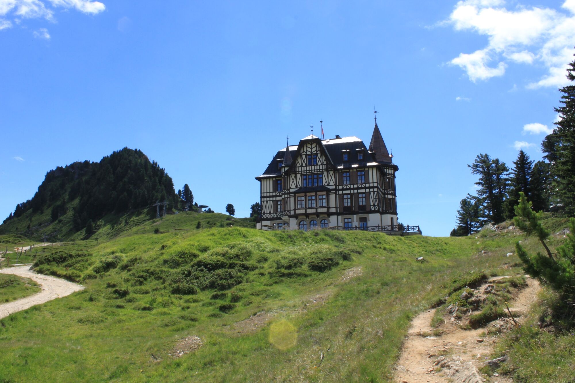

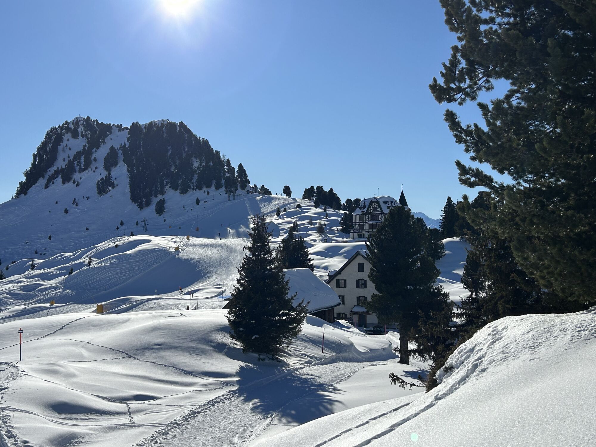
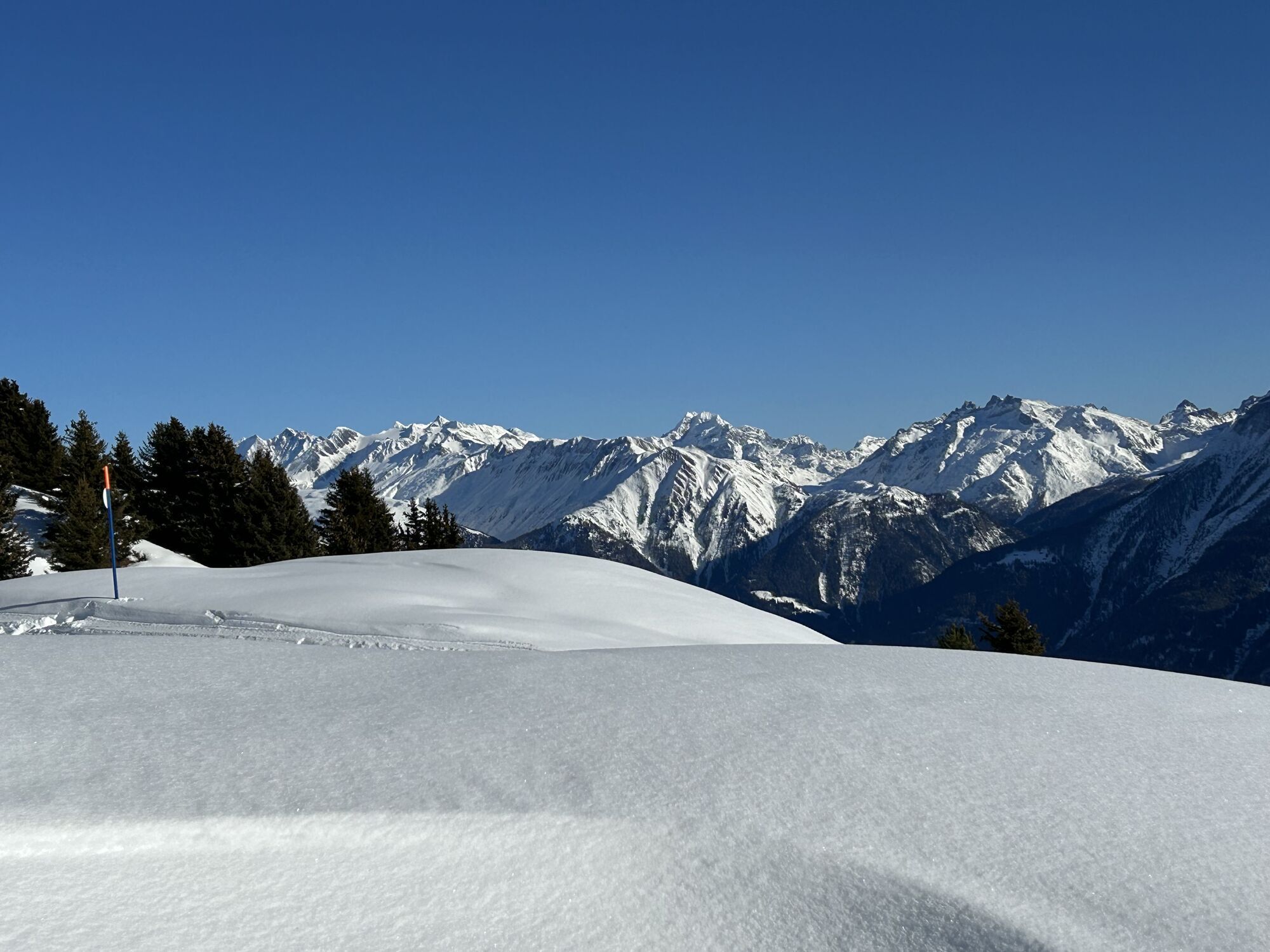
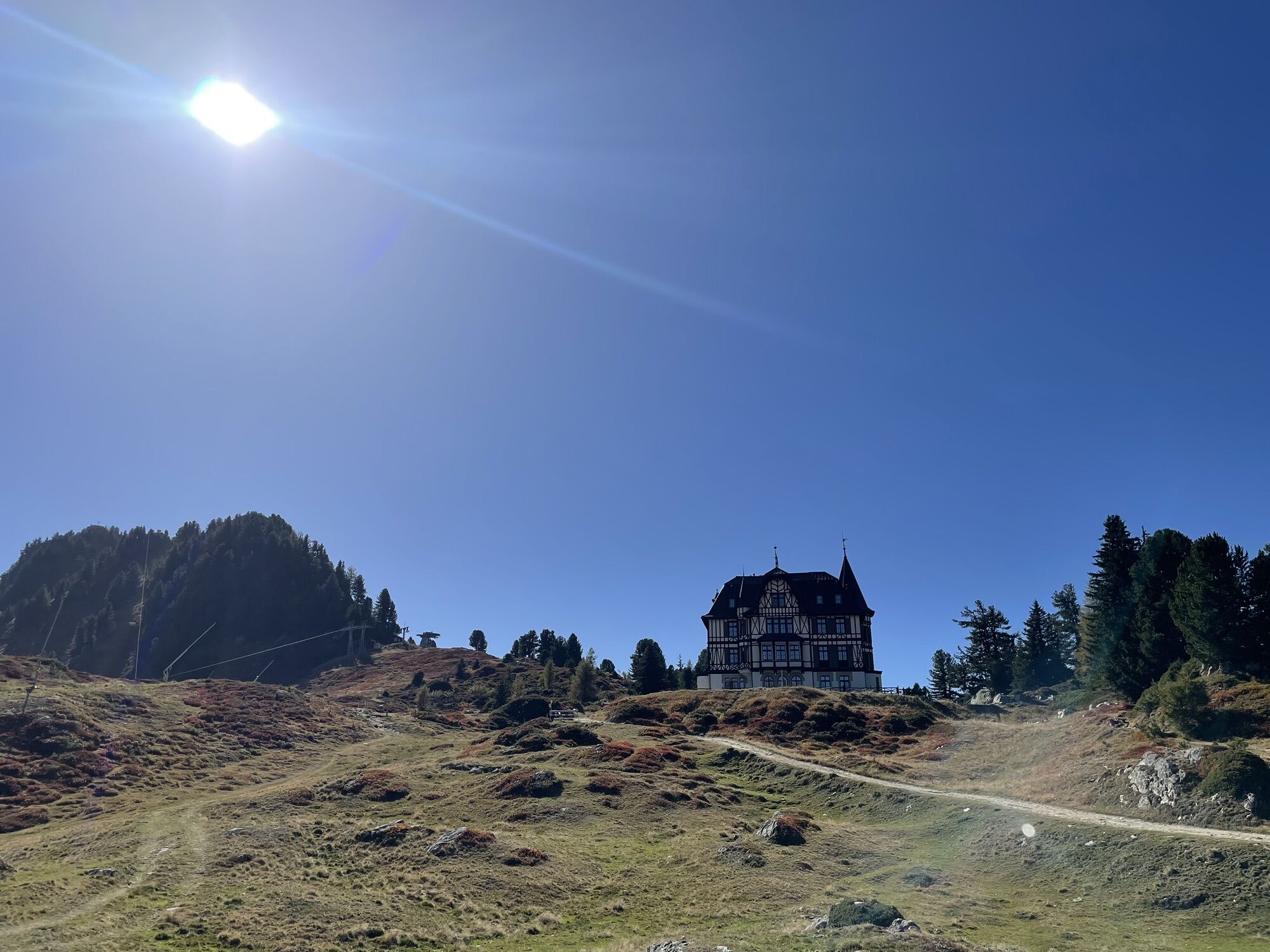
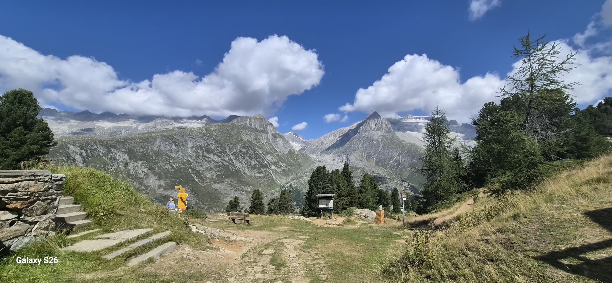
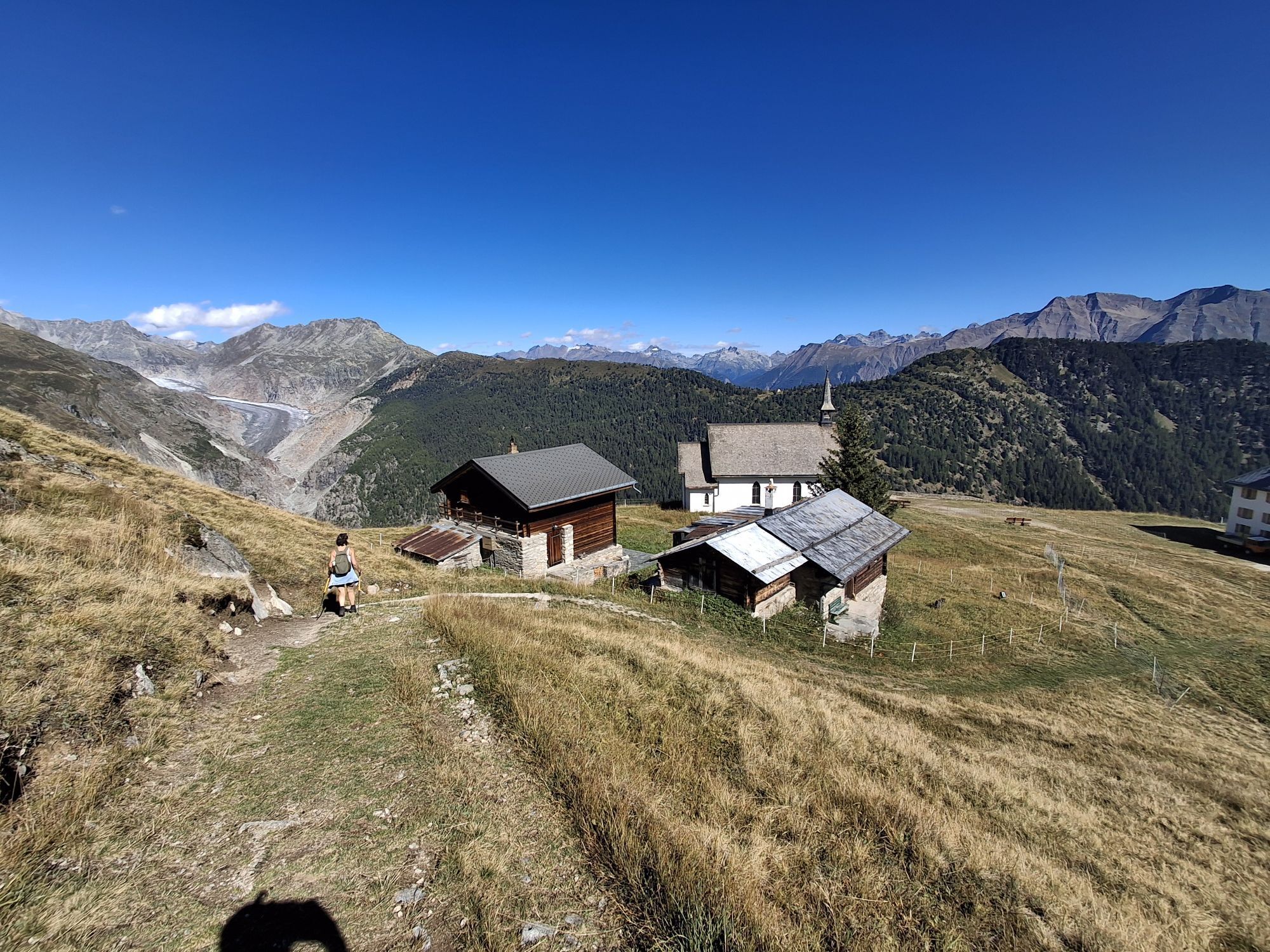
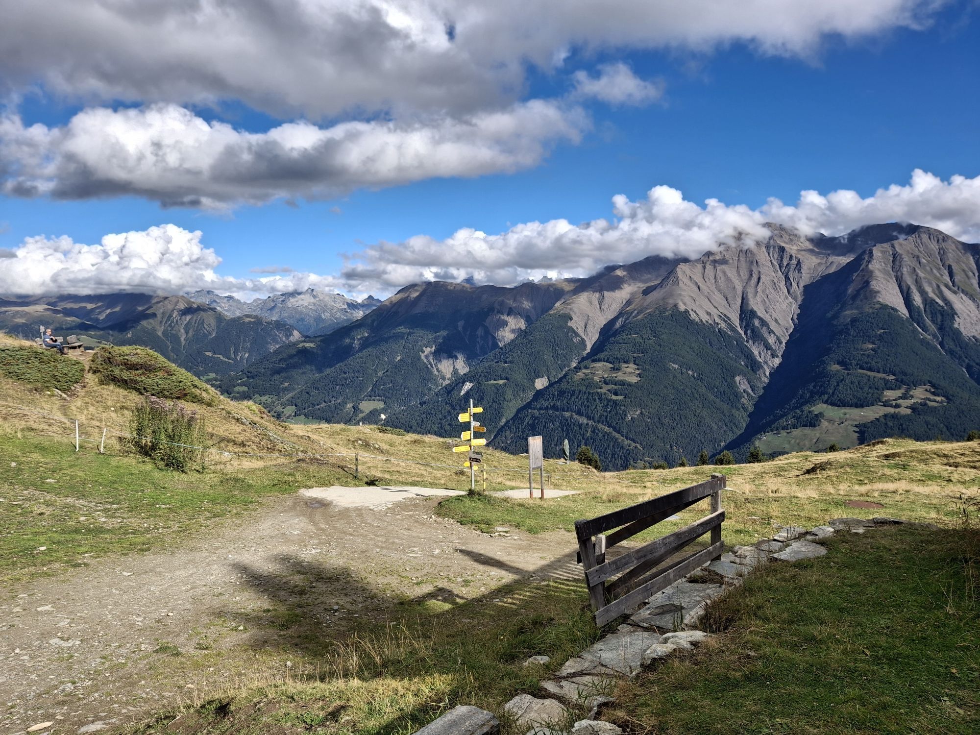
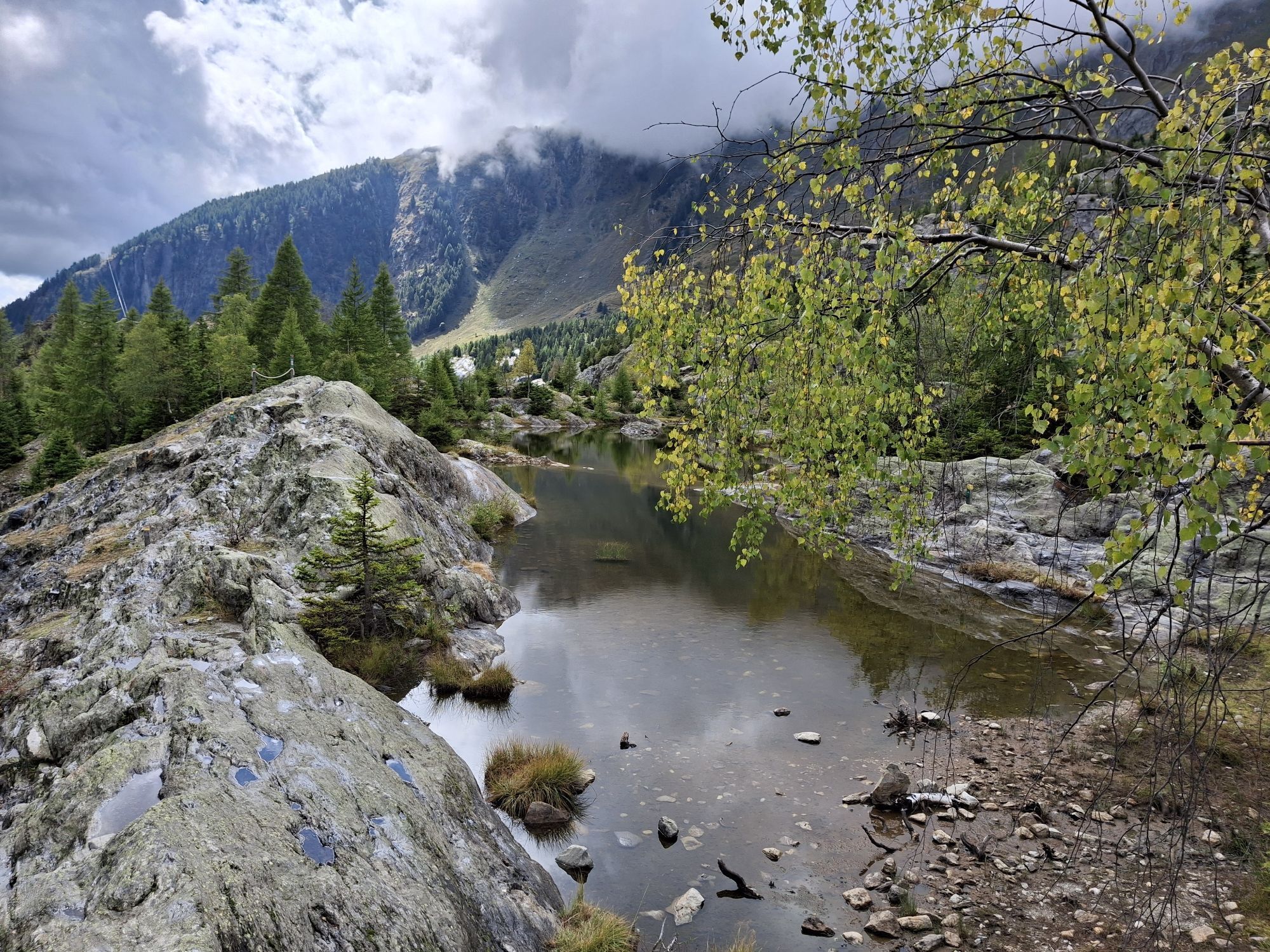
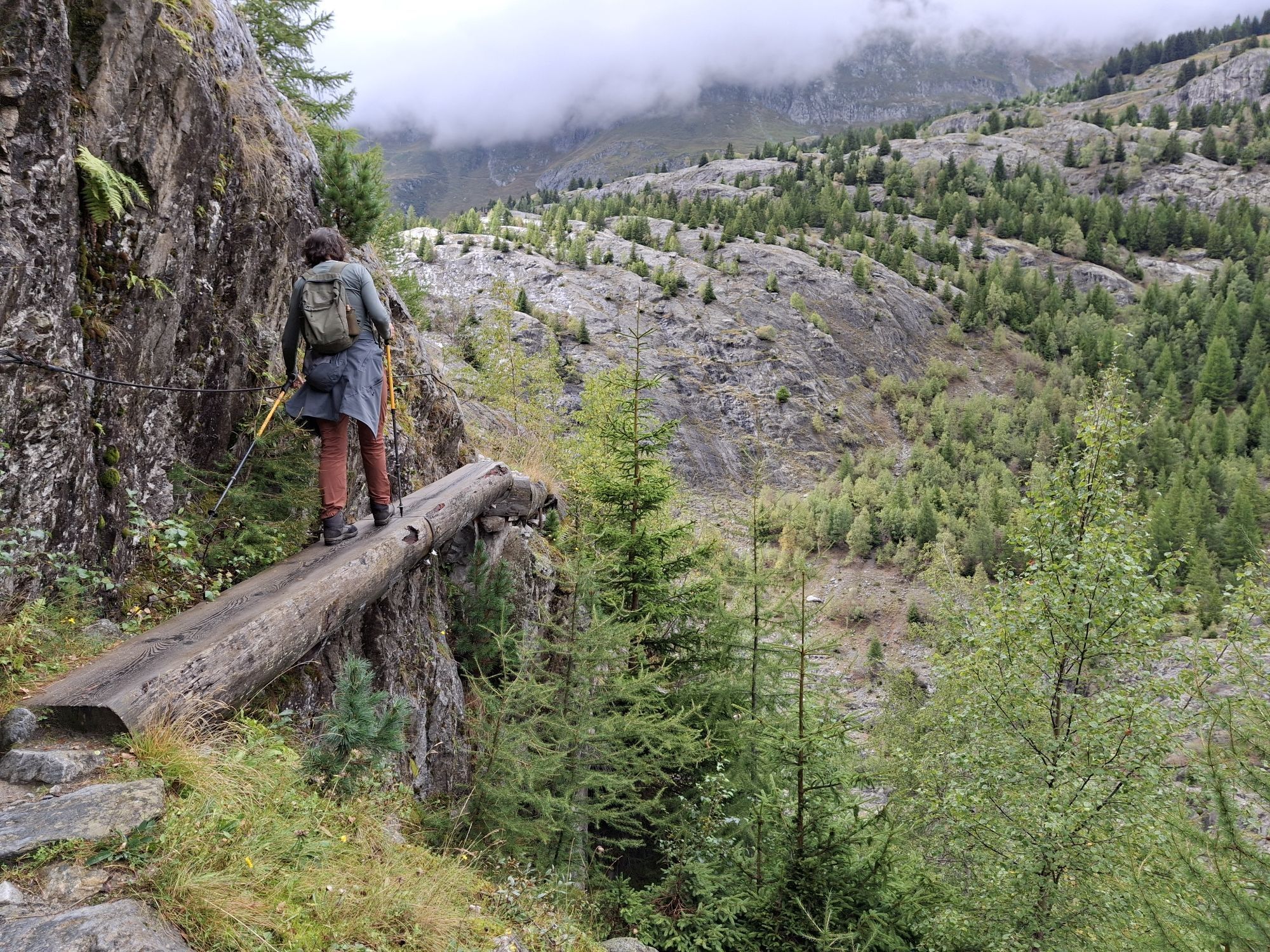
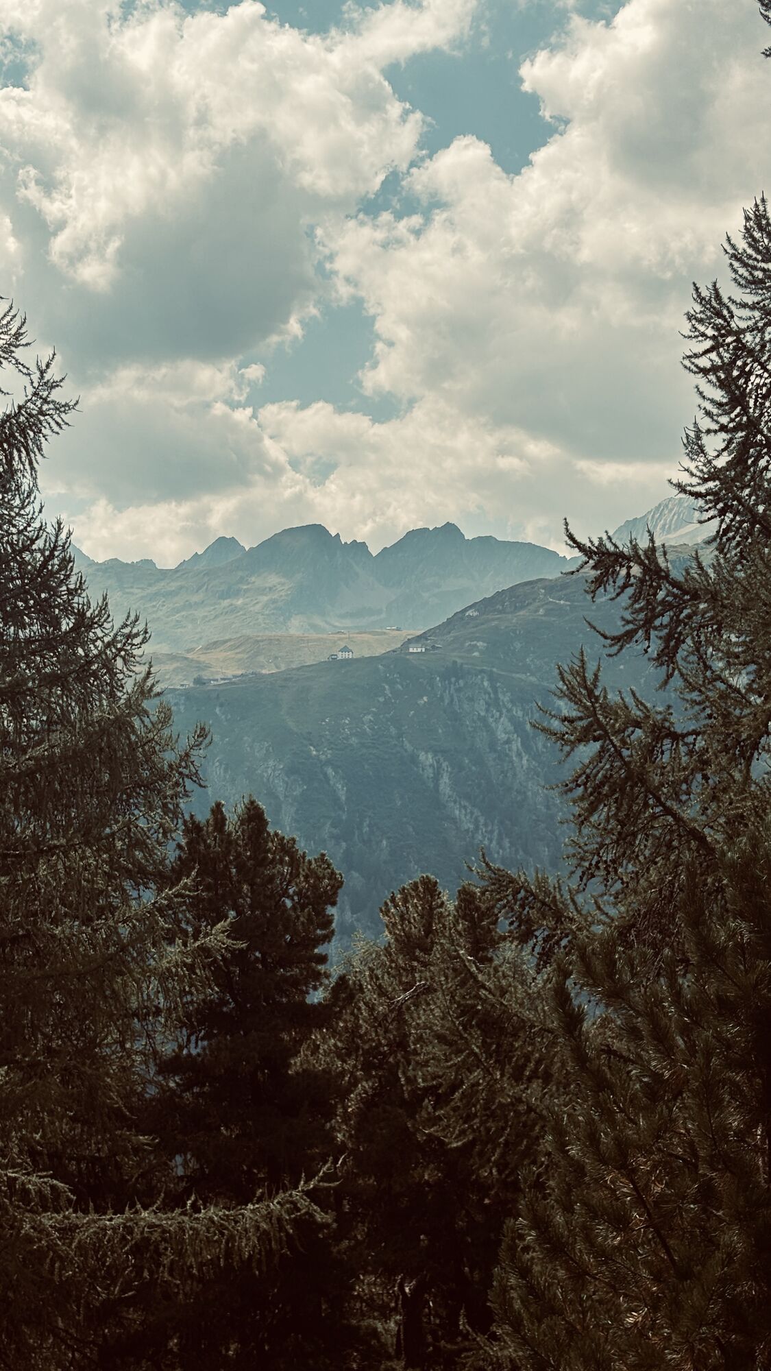
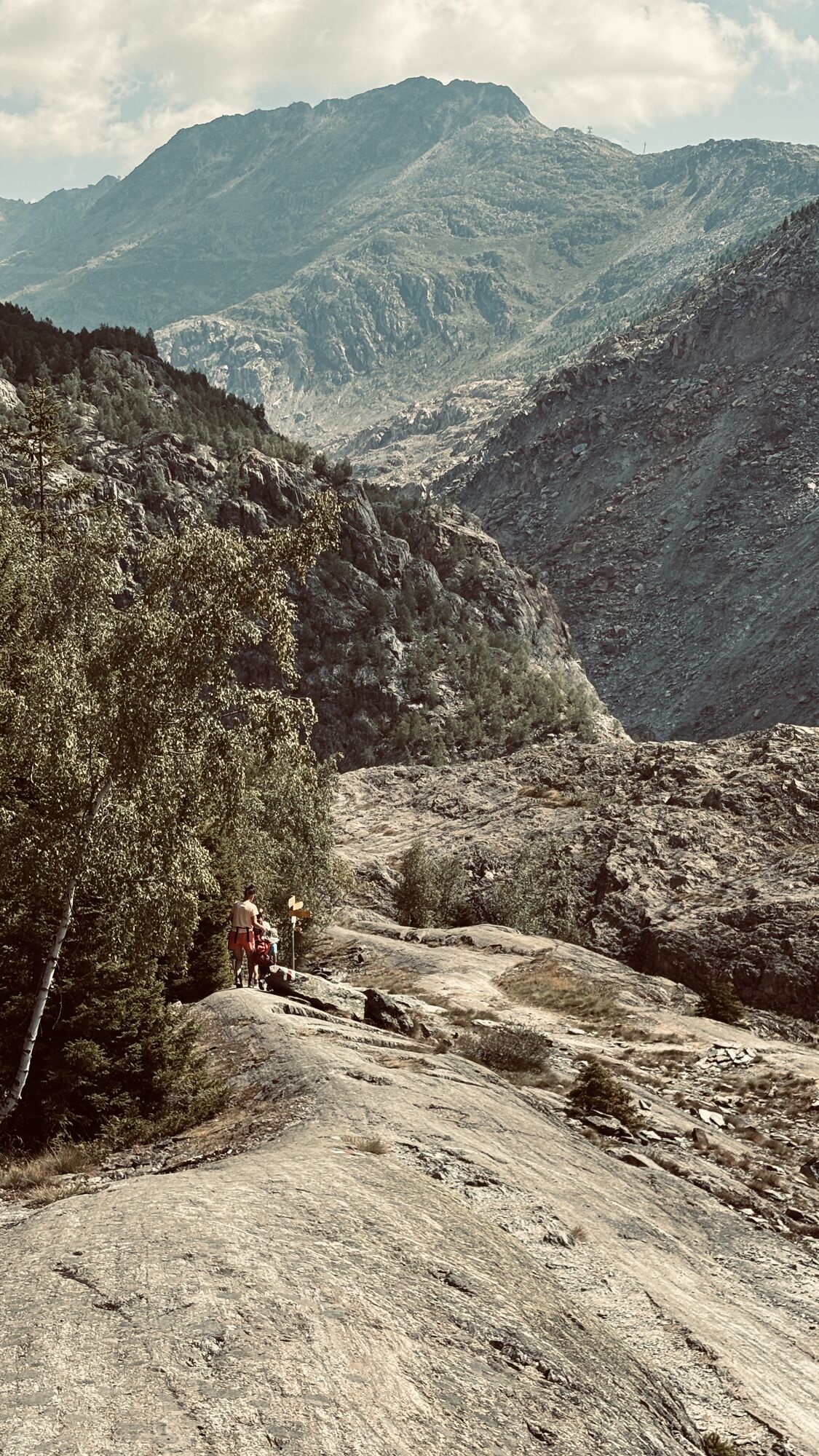
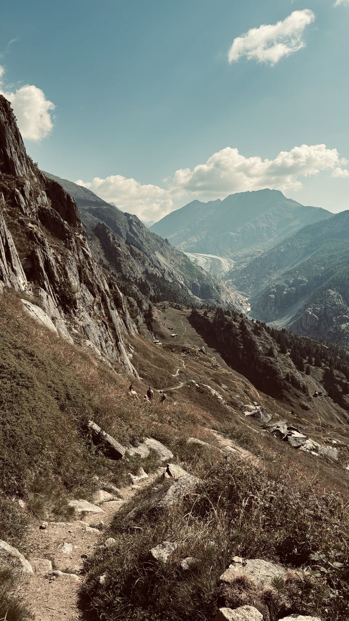
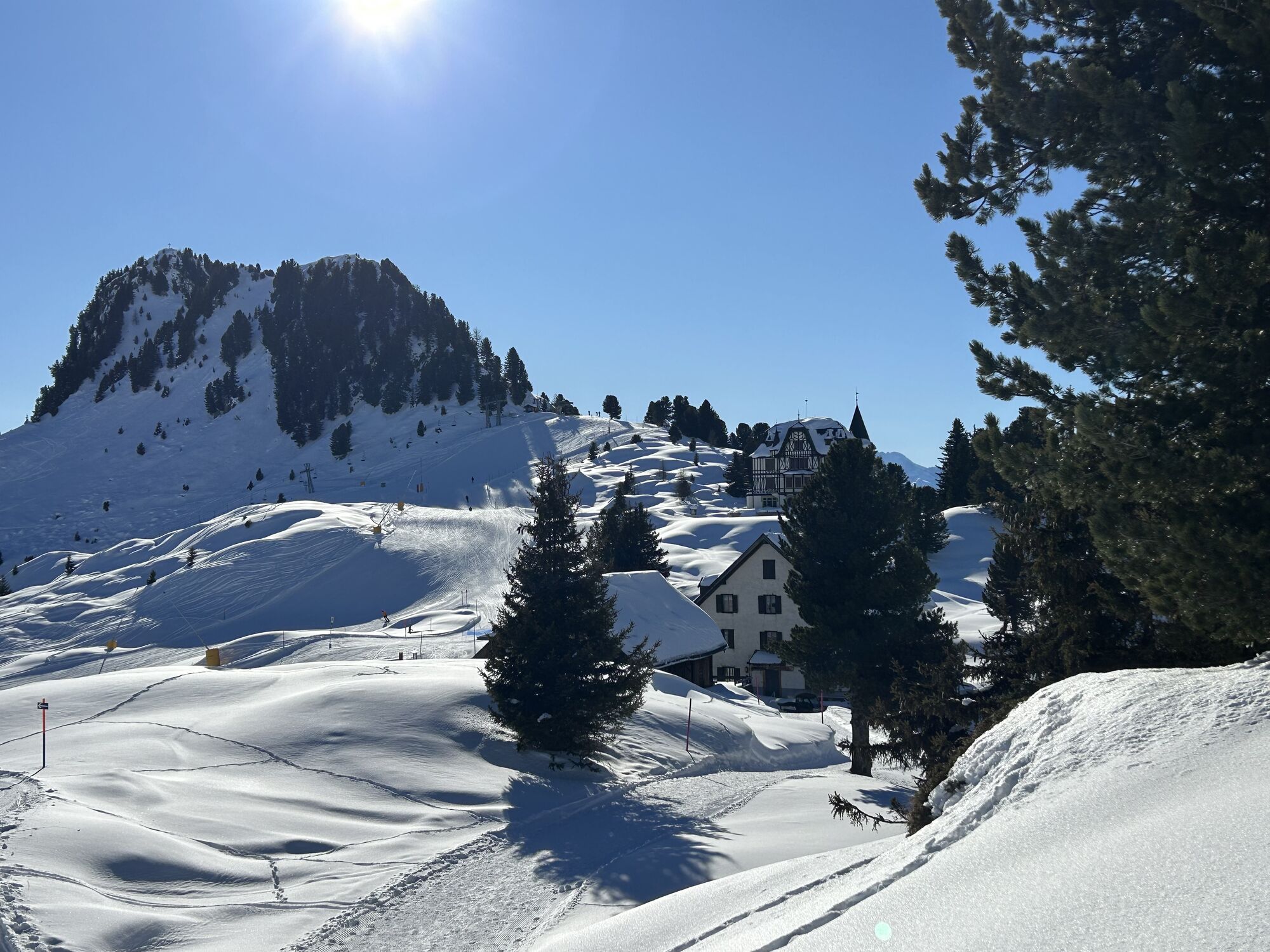
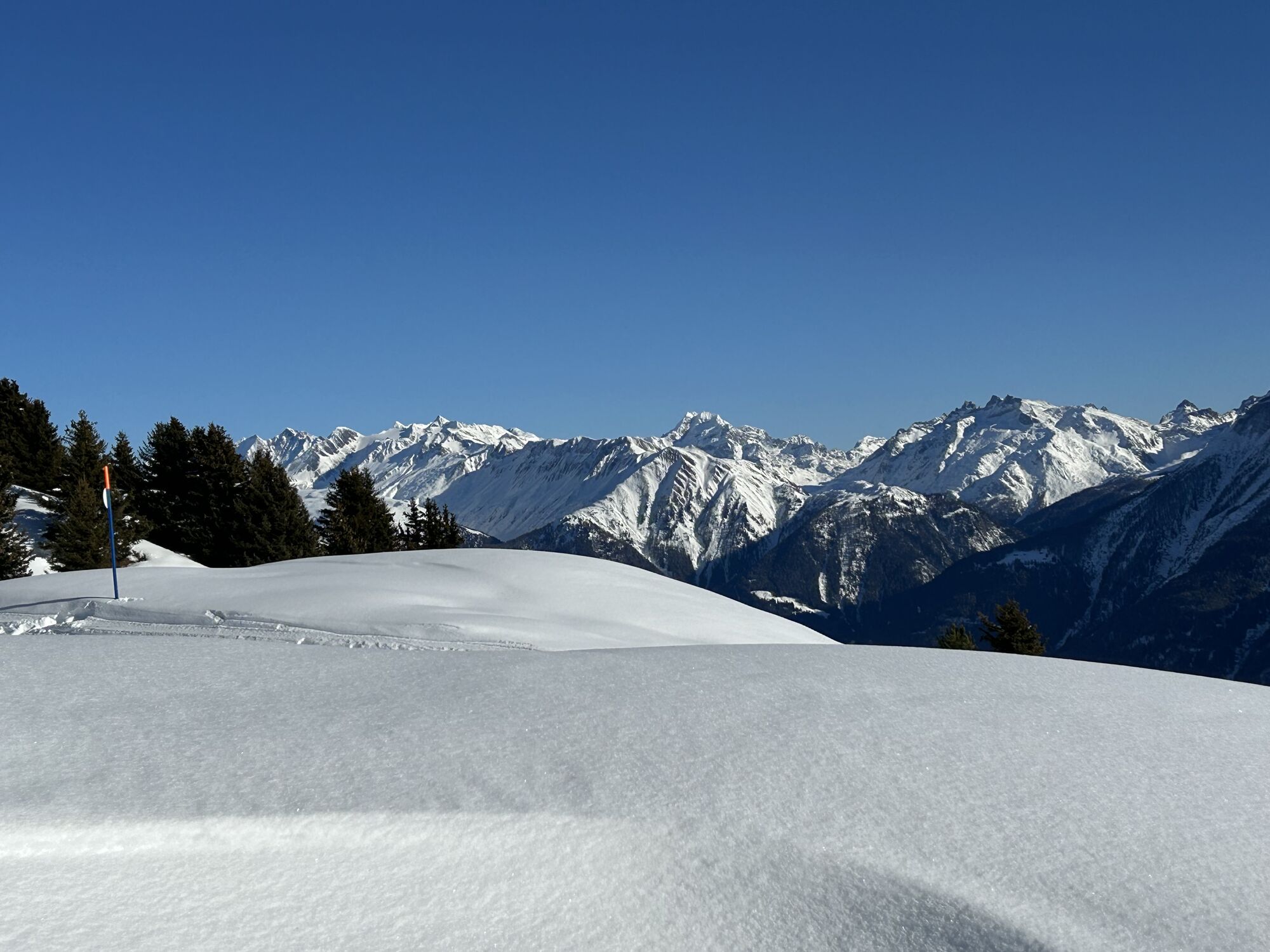
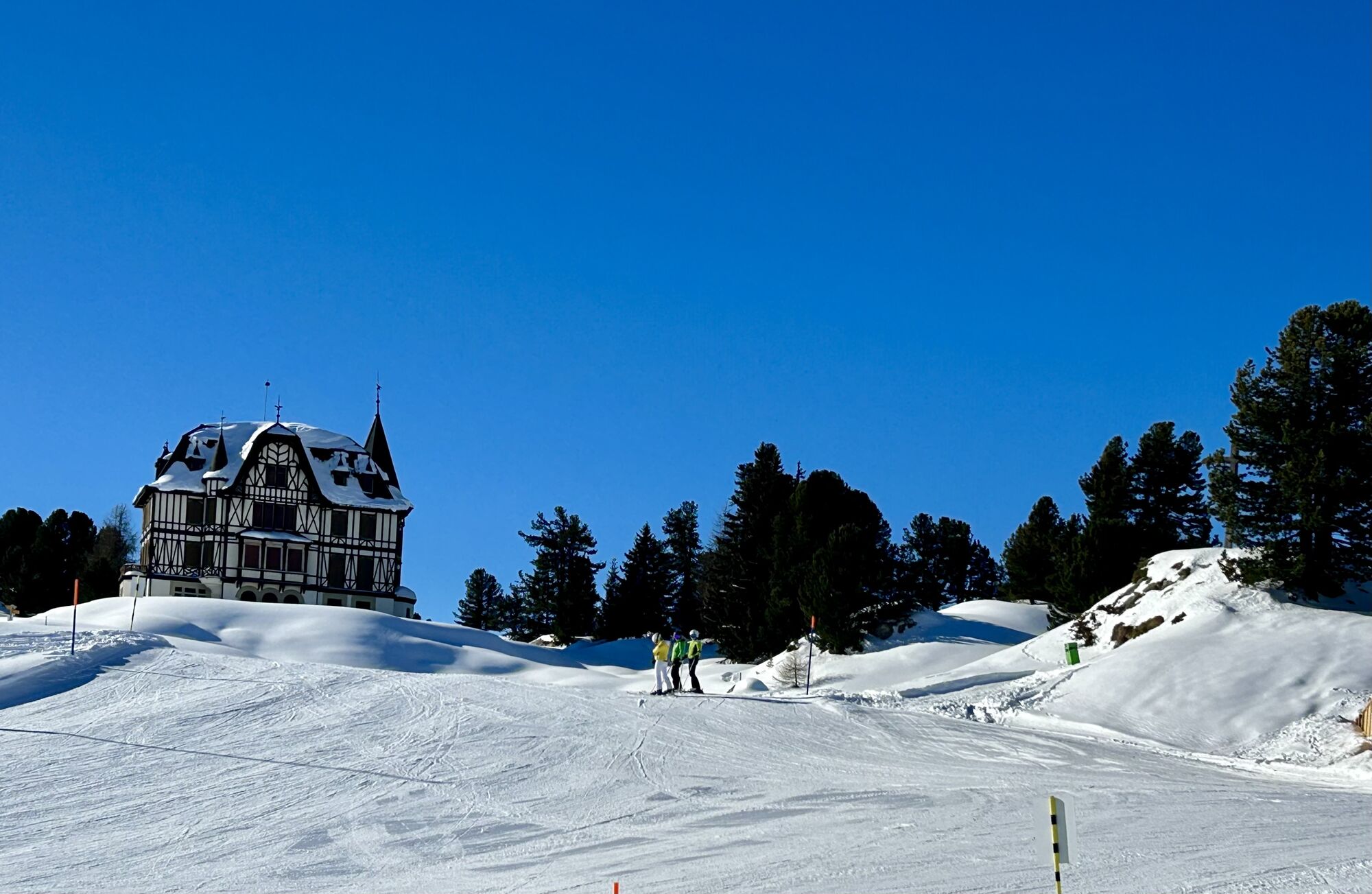
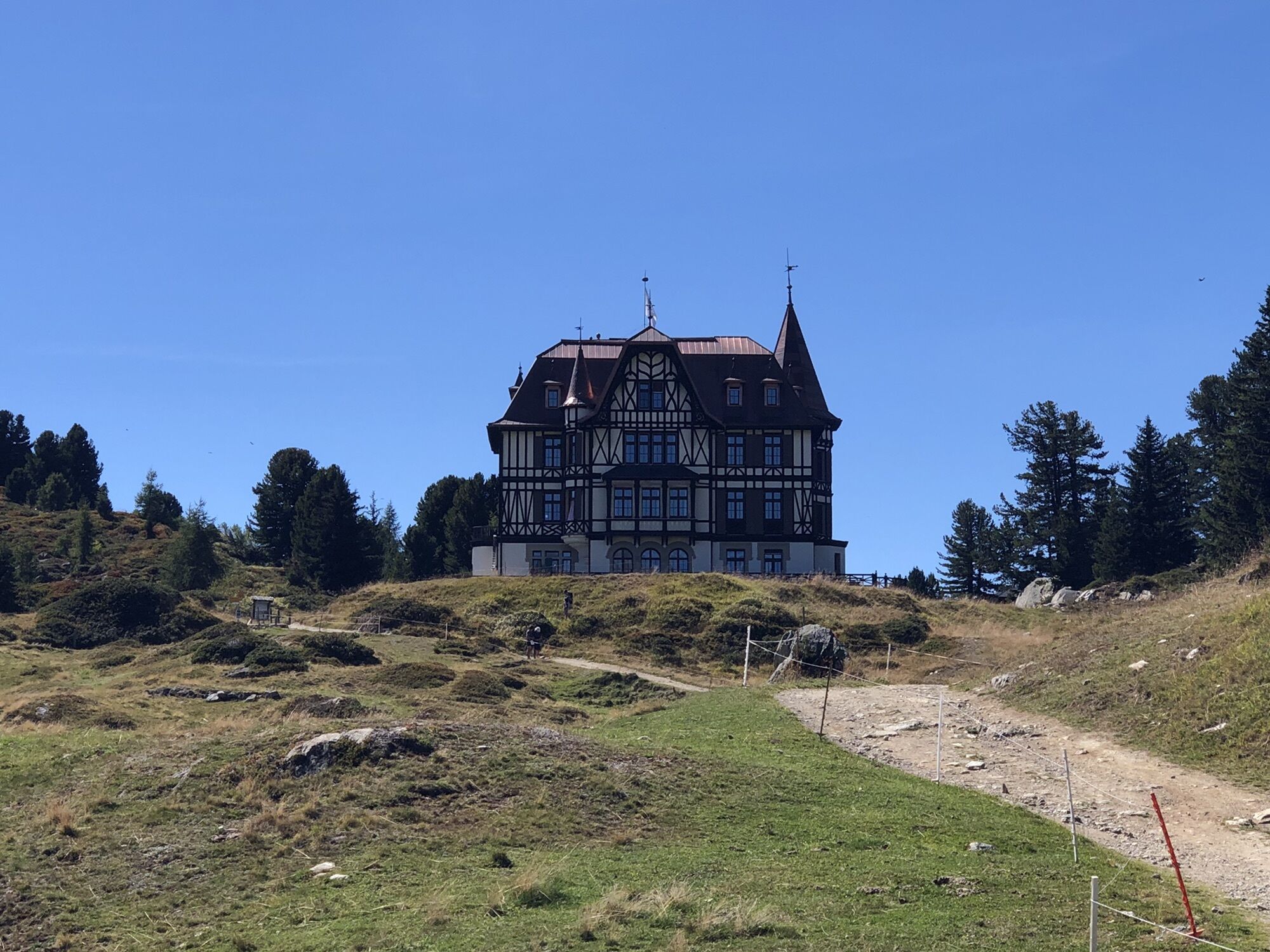
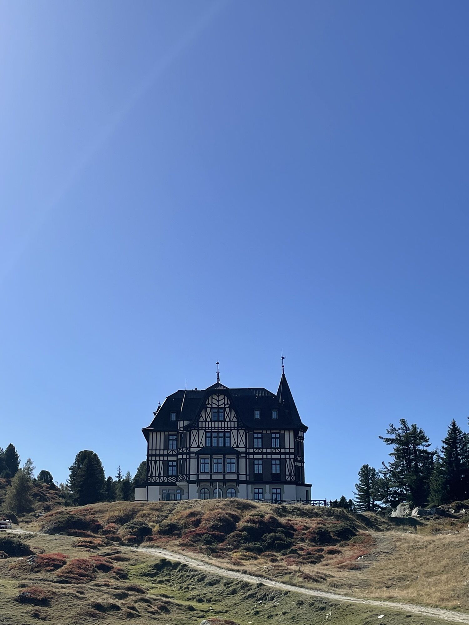
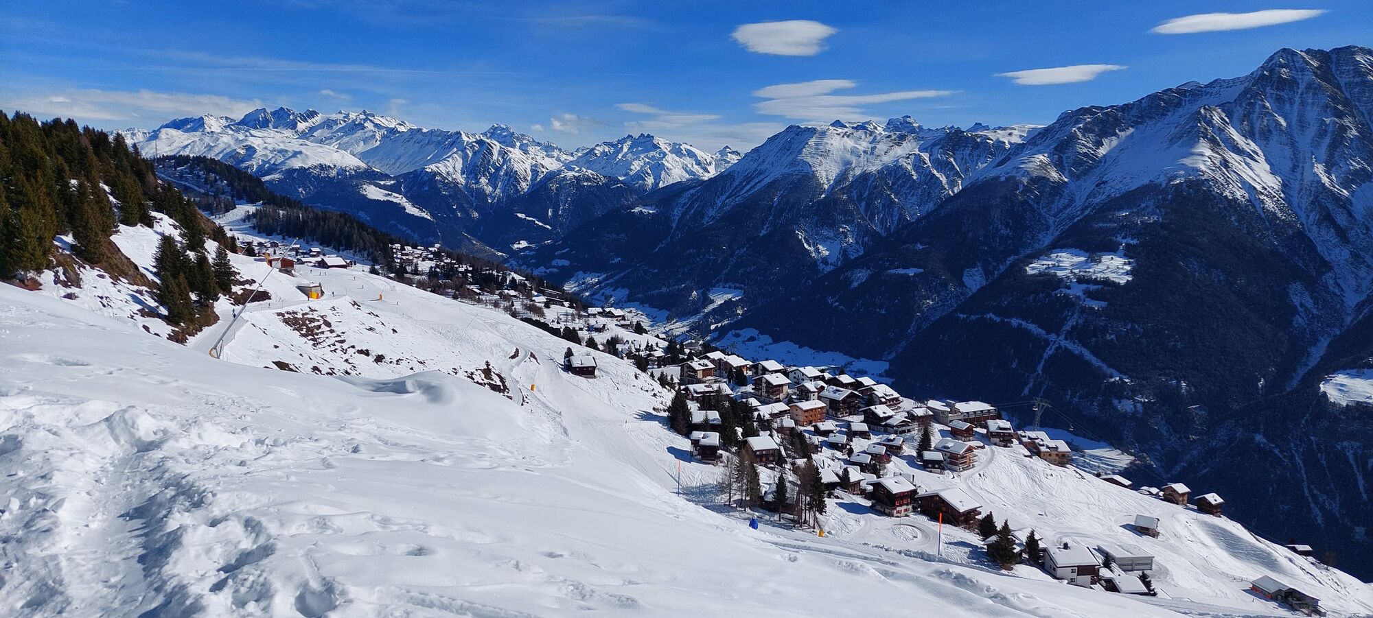
The journey starts from Brig to Mörel with the Matterhorn Gotthard Bahn. Here you change to the feeder train and travel to the Riederalp. The hike leads you up to the Riederfurka. There, the historic Villa Cassel, which today houses the Pro Natura Aletsch Center, towers above. You hike down to the right towards “Teiffe Wald” or “Silbersand” and continue to the “Grünsee”. Along the way, you cross the Aletschwald nature reserve (please observe the rules) with its ancient larches and Swiss stone pines. At the “Grünsee” you reach a viewpoint from which you can see directly down to the suspension bridge. The path continues over rock slabs to the suspension bridge, which hangs 80 meters above the wild Massa. After just under half an hour you reach the “Gletschertor” viewpoint. From here you have a fascinating view of the Great Aletsch Glacier, the Gletschertor, and the Aletschji. Via “Leng Acher” you arrive at the alpine meadow “Aletschji” where the ascent to the Aletschbord begins. On the Aletschbord you again enjoy the fantastic view of the Great Aletsch Glacier. With renewed energy, you take the last 25 minutes of hiking over the Belalp to the mountain station of the Belalp lifts and then take the cable car down to Blatten.
Riederalp - Riederfurka - Kalkofen - Grünsee - Suspension Bridge - Aletschji - Aletschbord - Belalp
Or: Belalp - Aletschbord - Aletschji - Suspension Bridge - Grünsee - Kalkofen - Riederfurka – Riederalp
Áno
Áno
Sturdy footwear, weather-appropriate clothing, sun and rain protection, as well as sufficient supplies of food and drinks are recommended in case there are no refreshment or shopping facilities available or open. Although the path is very well marked throughout, for safety reasons you should always carry a suitable hiking map. Bring poles or other aids.
Despite the “unmissable” marking of the hiking trails, for safety reasons we always recommend carrying a suitable hiking map, so that for example in the case of a thunderstorm or emergency, you can quickly find a safe area.
Especially in autumn, care should also be taken because leaves lying on the ground can conceal unevenness, roots, stones or holes in the path. After storms, trees can still fall or branches drop afterwards. Especially in adverse weather conditions, natural paths can have muddy and slippery sections. You must expect such impairments when hiking.
Not all rocks or abyss edges are secured with ropes or railings. Sure-footedness is sometimes required. If you find certain sections impassable, you should bypass them.
Arrival by car
From Western Switzerland: A9 Lausanne - Vevey, or Northwestern Switzerland: A12 Bern - Vevey: A9 - Sierre: main road Sierre - Brig
From Northwestern Switzerland: A6 Bern - Thun - Spiez: main road Spiez - Kandersteg (car shuttle Lötschberg tunnel) - Goppenstein - Gampel - Brig
From Eastern and Central Switzerland: Andermatt - Realp (year-round car shuttle Furka; in summer via Furka pass) - Oberwald - Brig
From Ticino (in summer): Airolo - Nufenen Pass - Ulrichen – Brig
Or via Centovalli – Domodossola – Simplon Pass – Brig
From Italy (Aosta, Mt. Blanc Tunnel): Aosta - Tunnel Grand Saint Bernard (summer via the pass) - Martigny: motorway A9 - Sierre: main road Sierre – Brig
Or via Domodossola – Simplon Pass – Brig
Blatten near Naters:
From Brig you reach Blatten near Naters via Naters, then take the cable car to the car-free Belalp.
Start Belalp:
Travel from Brig by post bus to Blatten near Naters. From there take the cable car to Belalp and then start your route towards Belalp Aletschbord.
Start Riederalp:
Take the train towards Fiesch and get off in Mörel. From there take the cable car or gondola up to the Riederalp. Here you have the option to walk everywhere or take the Moosfluh-/Hohfluhbahn up and start from there.
Paid parking is available at Chienzlichrommu and the parking garage in Blatten near Naters.
There are also various parking options available in Mörel.
T2
If you have questions, please contact:
Belalp Bahnen AG
Blatten - Belalp Tourism AG
Take a break at the Hotel Belalp terrace and enjoy the panorama.
Visit the Villa Cassel on the Riederalp.
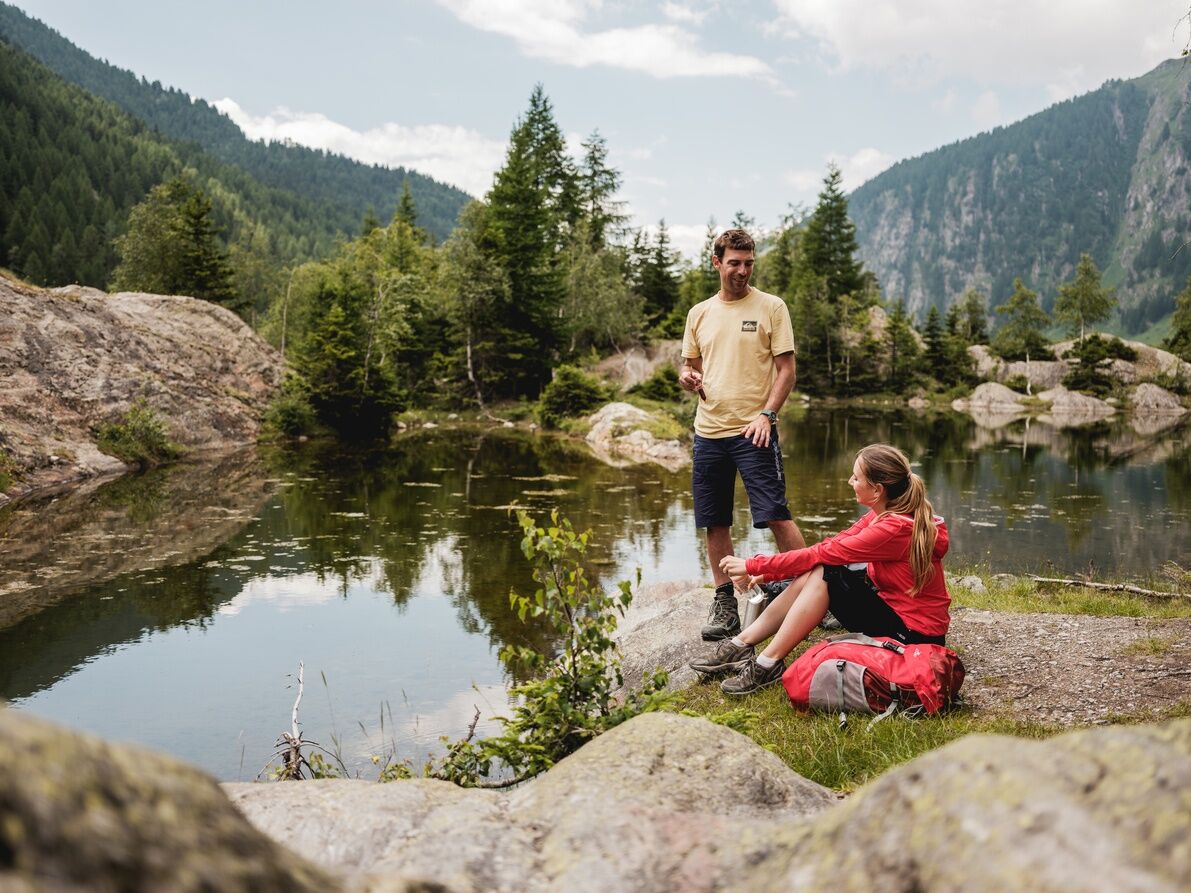
The Aletschji and the Grünsee are idyllic natural spots inviting you to linger.
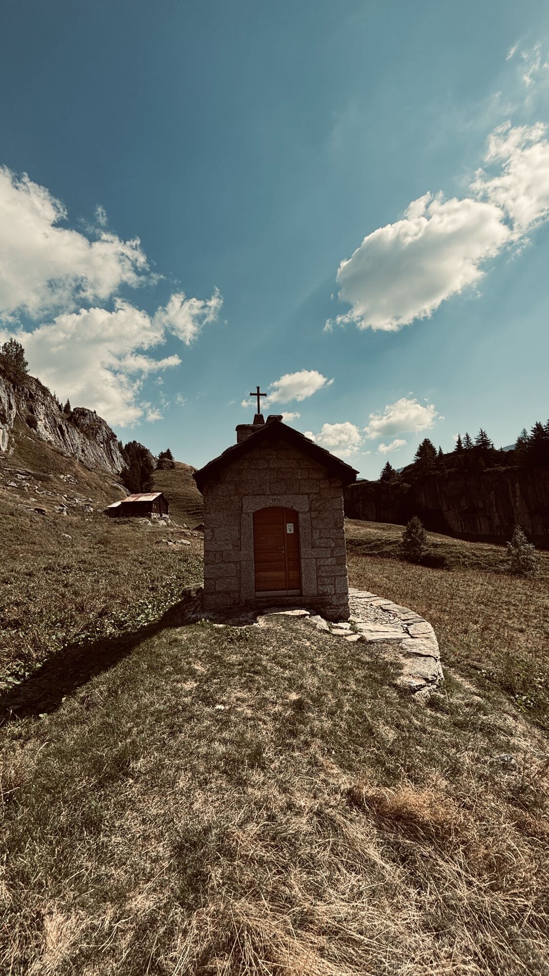
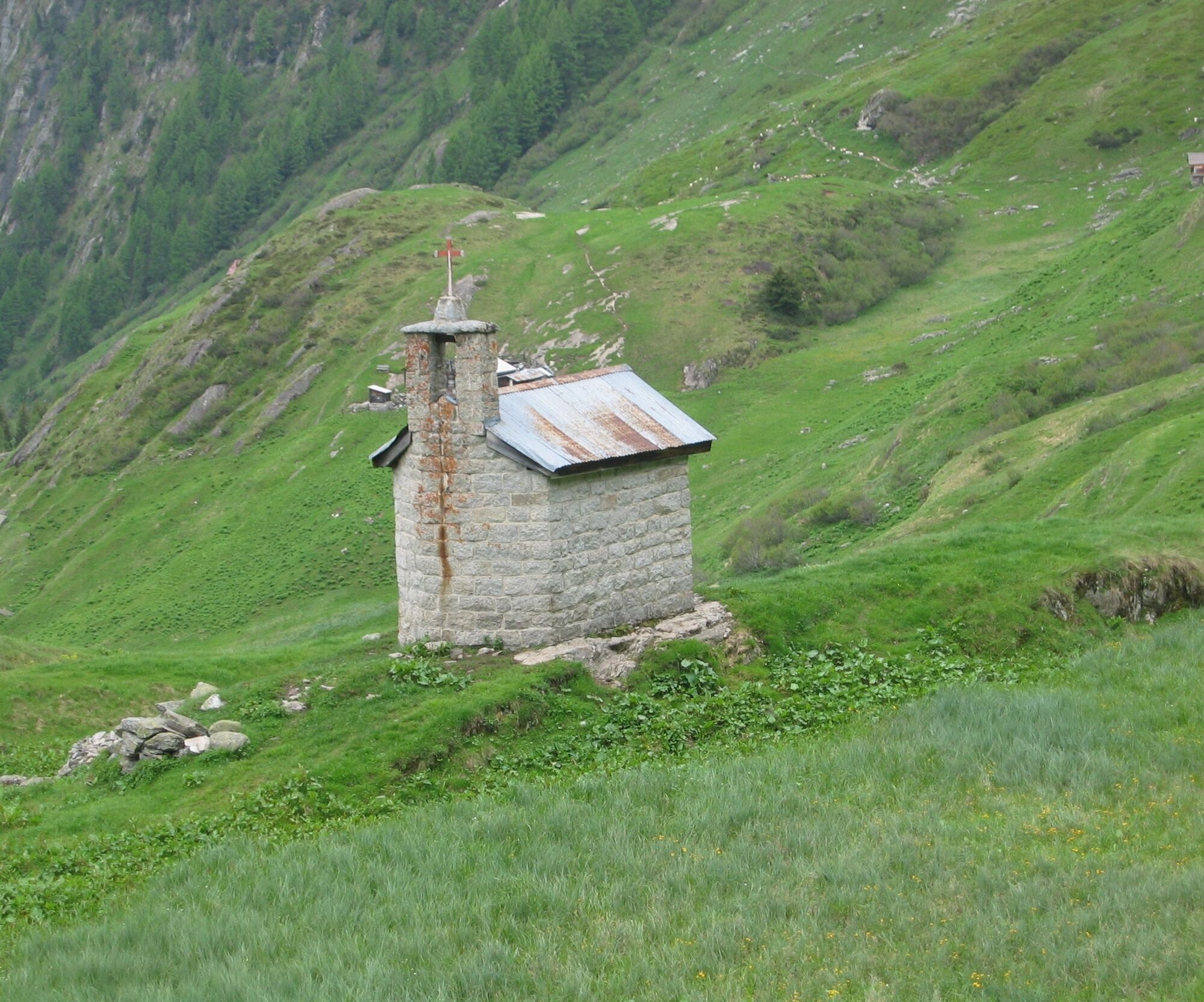
Pull the chain at the small chapel in Aletschji to ring the bells.

 Získajte prehľad
Vždy naživo na mieste s viac ako 9 500 webovými kamerami. bergfex Ako používateľ Pro si teraz môžete pozrieť príslušné webové kamery pre mnohé zájazdy v aplikácii zájazdy z. Môžete si tak priamo prezerať aktuálne podmienky.
Získajte prehľad
Vždy naživo na mieste s viac ako 9 500 webovými kamerami. bergfex Ako používateľ Pro si teraz môžete pozrieť príslušné webové kamery pre mnohé zájazdy v aplikácii zájazdy z. Môžete si tak priamo prezerať aktuálne podmienky.
Aktivity počas prehliadky


Obľúbené výlety v okolí
-
5,0
BELALP - SPARRHORN
ťažkéTuristika 11,2 km -
UNESCO Höhenweg
Turistika 3,70 km -
5,0
Rundwanderung Anenhütte
strednáTuristika 10,2 km -
4,0
Panoramaweg über den Aletschgletscher
strednáTuristika 17,7 km -
CIRCULAR HIKE MASSEGGA SUSPENSION BRIDGE
svetloTuristika 6,44 km -
4,0
Eggishorn via ferrata
strednáVia ferrata 1,39 km -
5,0
Aletsch Sightseeing
strednáZimná turistika 15,5 km -
4,0
Höhenwanderung Rosswald
svetloTuristika 6 km -
3,0
Lötschenlücke
strednáSkitour 26,2 km -
SUONEN CIRCULAR HIKE GREDETSCHTAL
strednáTuristika 7,45 km
Turistika a stopovanie


Nenechajte si ujsť ponuky a inšpiráciu na ďalšiu dovolenku
Vaša e-mailová adresa bol pridaný do poštového zoznamu.





