





Gspon circular trail
Úroveň náročnosti: S1
From Stalden, you can reach Gspon in a few minutes by aerial cableway. From the mountain station, a beautiful path with a slight ascent leads through the forest to "Scheidbodo." From "Scheidbodo," you...
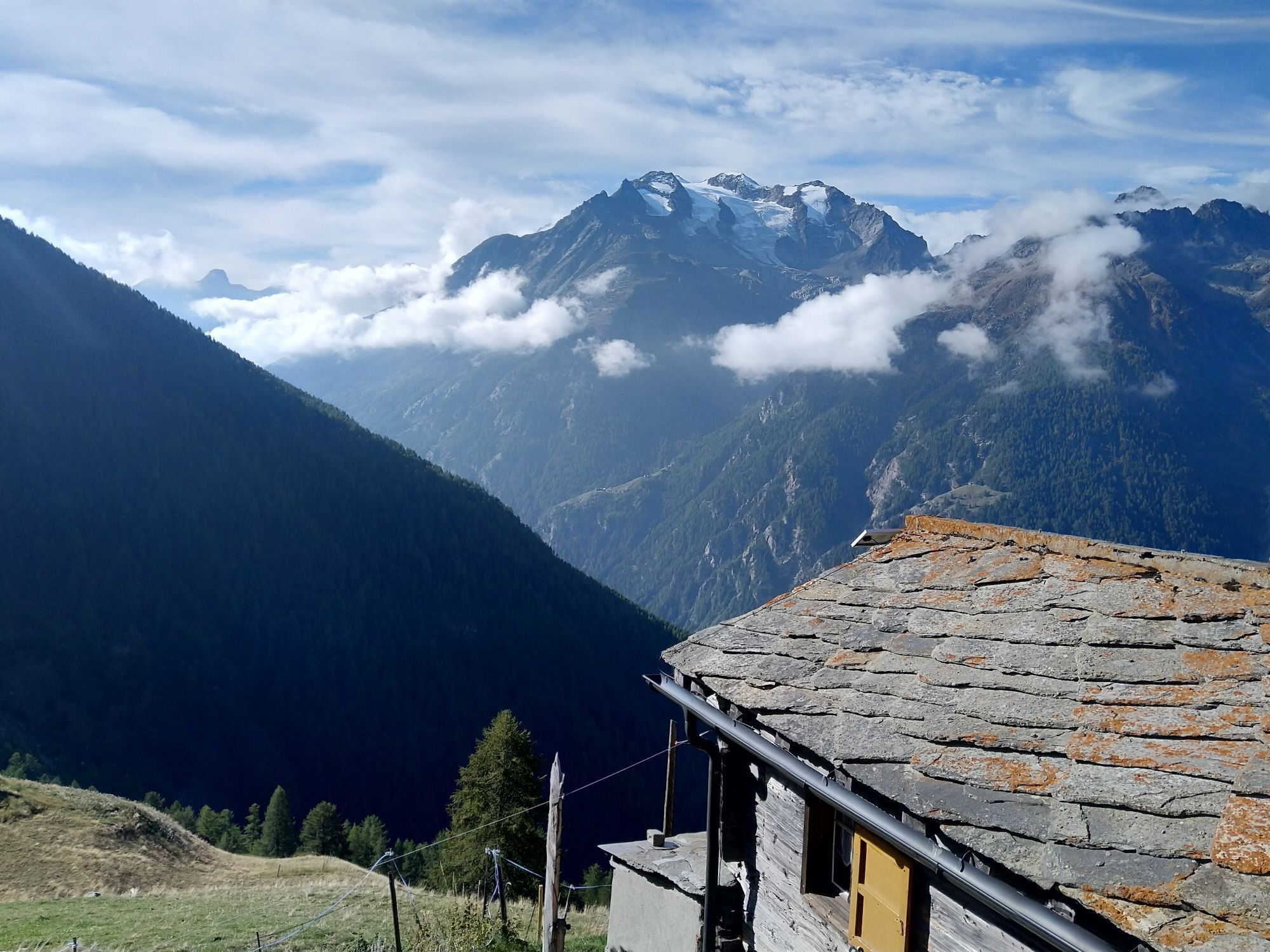
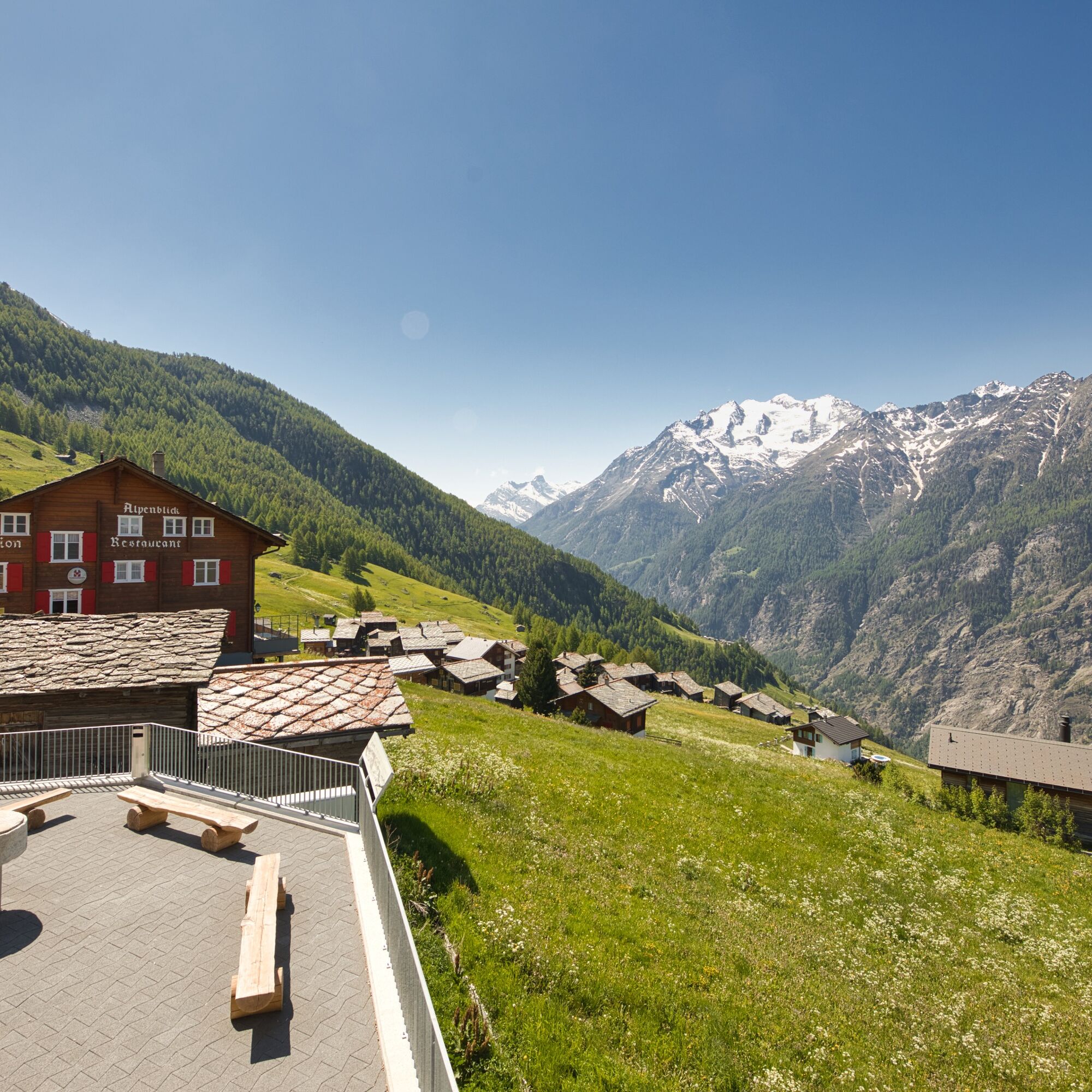
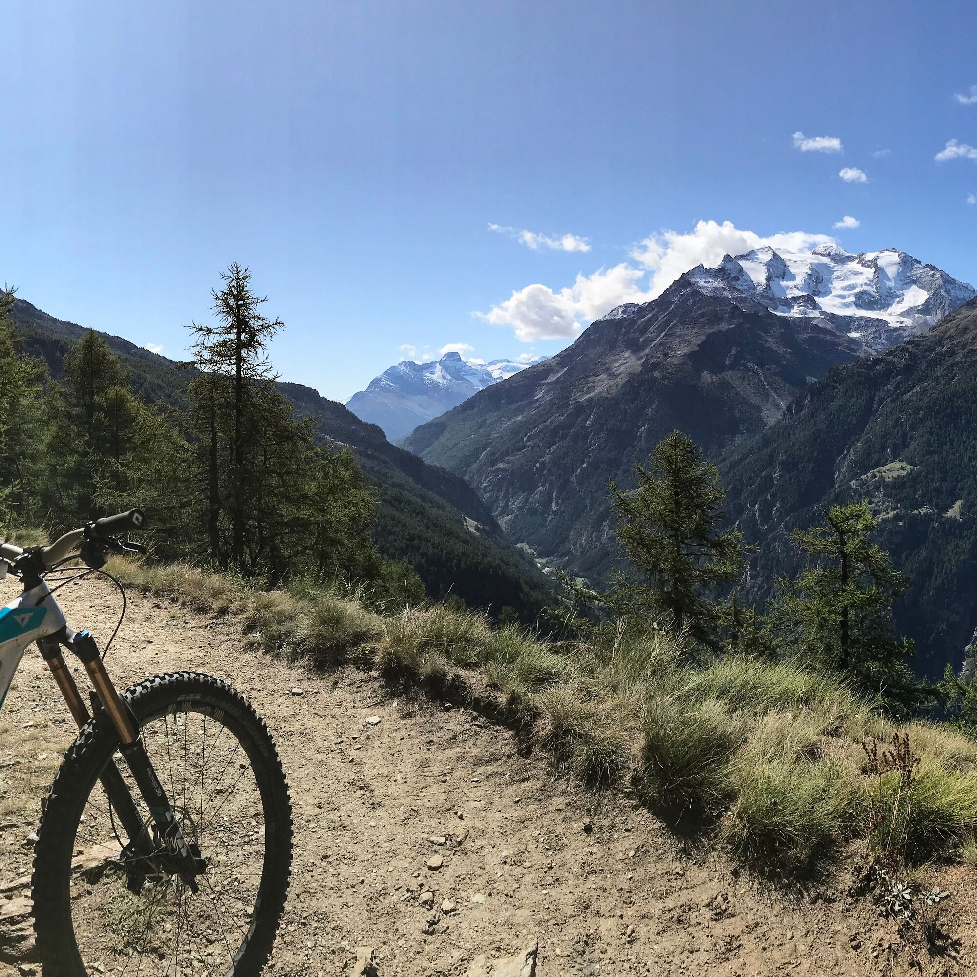
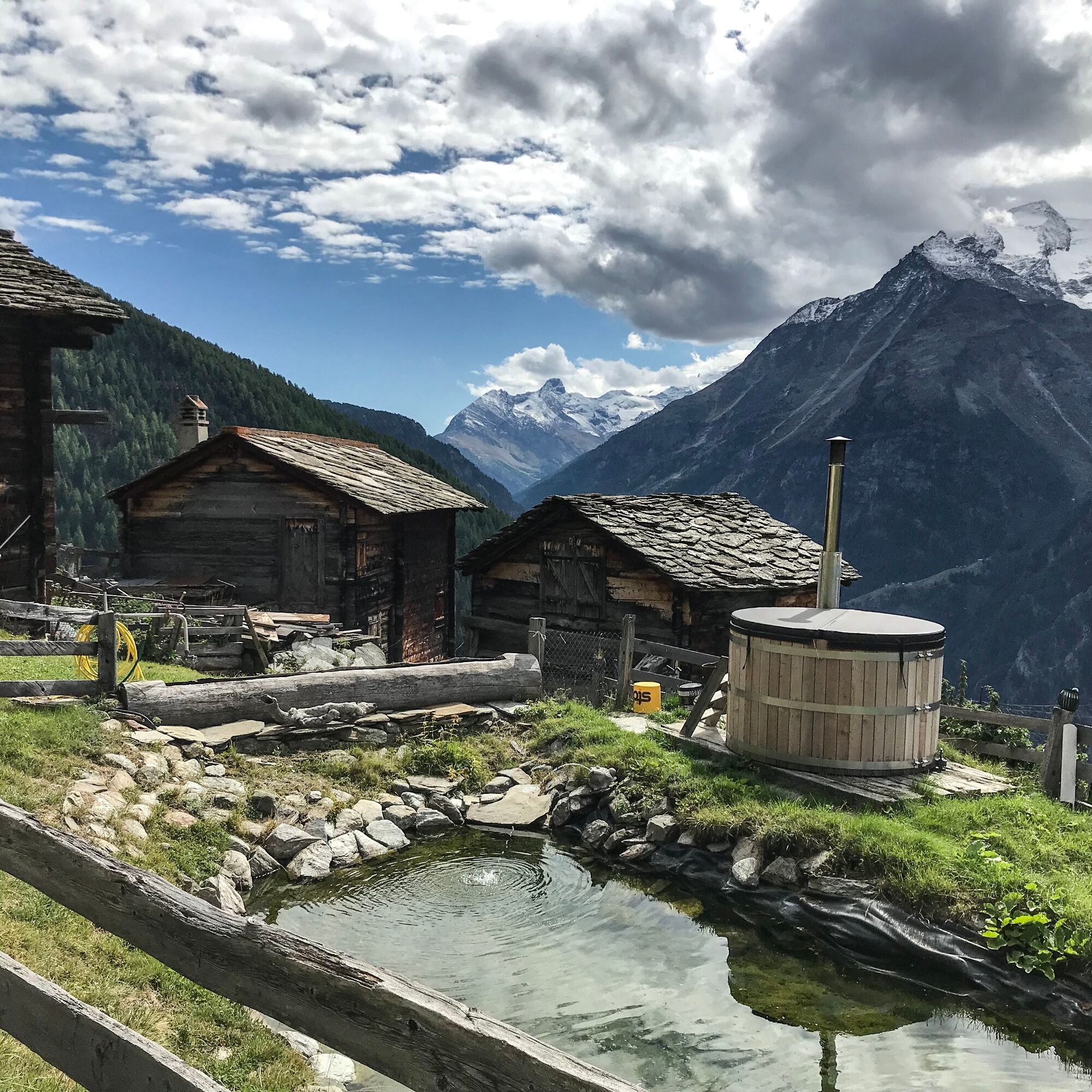
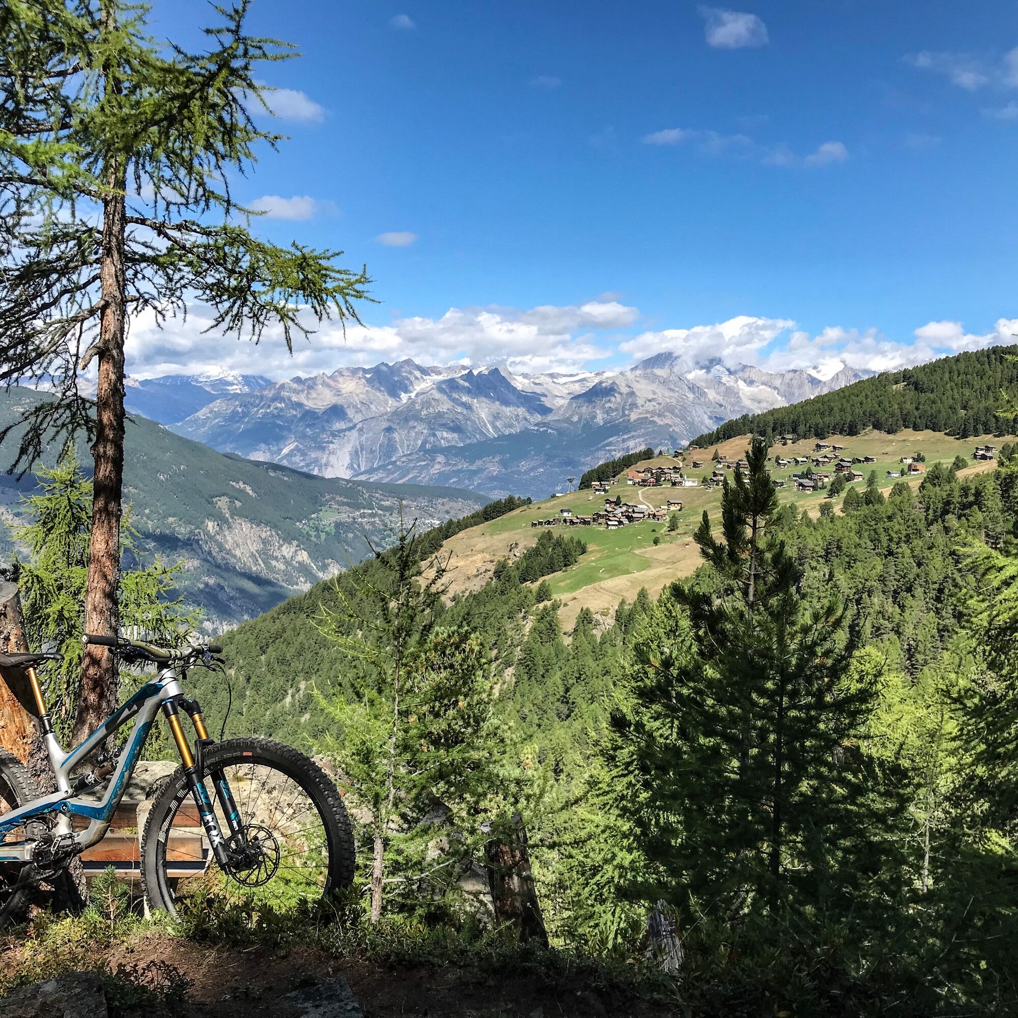
From Stalden, you can reach Gspon in a few minutes by aerial cableway. From the mountain station, a beautiful path with a slight ascent leads through the forest to "Scheidbodo." From "Scheidbodo," you have to manage a short climb of around 150 meters in elevation. Then it continues on a wide path, which is partly quite steep, up to "Sänntum." There are several fountains there where you can refill your water bottle. The absolute highlight is the "Höuschbiela," a high plateau with a truly impressive panoramic view of the majestic Valais Alps. Next comes a beautiful, easy descent through wooded areas and lovely, open alpine meadows to the hamlet of "Finilu." Here you must be careful on a short, steep section of about 150 meters and reduce your speed. From there, take the Gspon high path back to Gspon. Caution is always advised here because the path is also used by hikers. In Gspon, you can indulge yourself with the culinary offerings of the mountain restaurant Alpenblick and let the day come to an end.

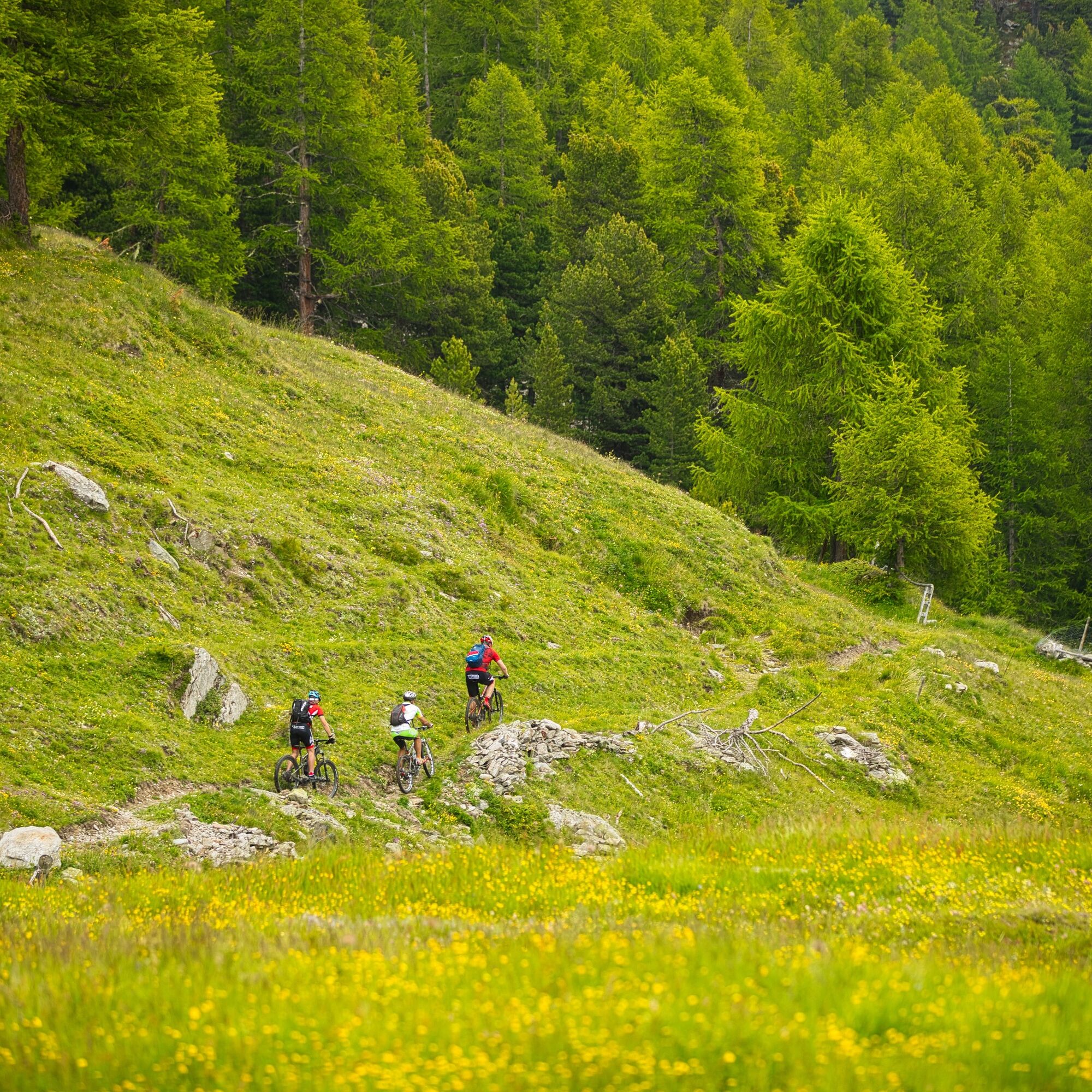
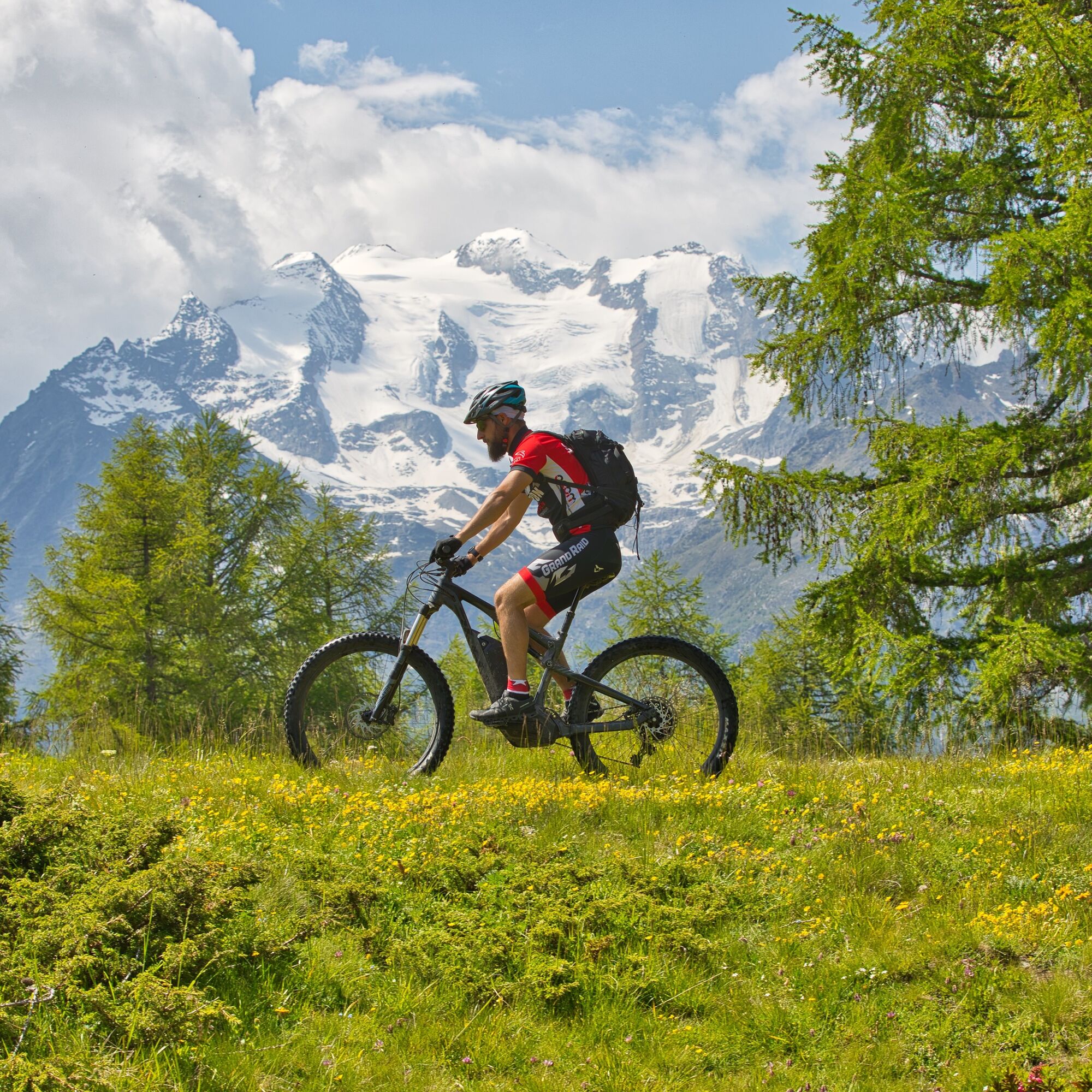
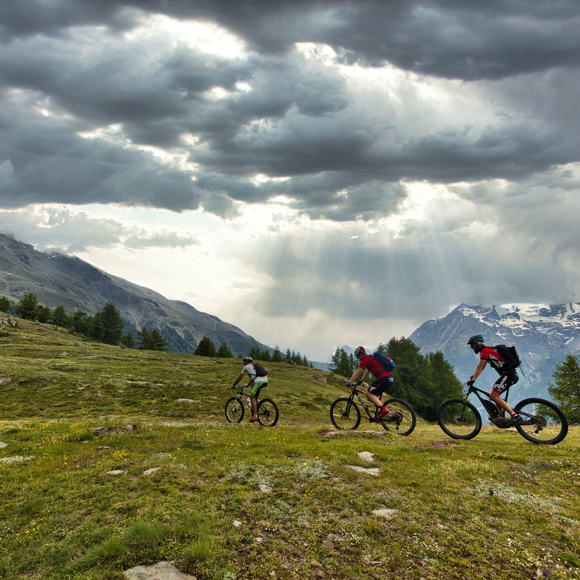

Our recommendation: Technically flawless bike, helmet, gloves, and bell, clothing suitable for the weather (always bring: rain protection), drink, and food.
By train or bus from Visp to Stalden-Saas, then by aerial cableway to Gspon.
In Stalden as well as in Staldenried, you have various parking options. https://www.stalden.ch/sites/verkehr-umwelt/parkmoeglichkeiten
S1
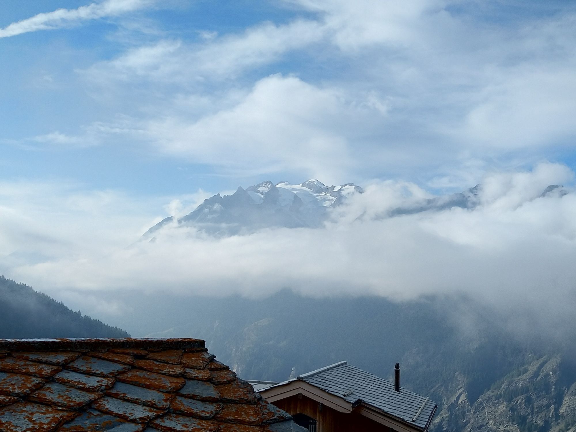
High plateau "Höuschbiela" with an impressive panoramic view of the Valais Alps
Webové kamery z prehliadky
Získajte prehľad
Vždy naživo na mieste s viac ako 9 500 webovými kamerami. bergfex Ako používateľ Pro si teraz môžete pozrieť príslušné webové kamery pre mnohé zájazdy v aplikácii zájazdy z. Môžete si tak priamo prezerať aktuálne podmienky.
Obľúbené výlety v okolí
-
3,3
Europaweg Grächen - Europahütte - Zermatt
ťažkéTuristika 39,9 km -
3,6
Höhenweg Kreuzboden - Almagelleralp - Saas-Almagell
Turistika 9,74 km -
3,5
Waldweg Saas-Fee - Saas-Almagell
Turistika 2,83 km -
3,8
Höhenweg Saas-Fee - Grächen
Turistika 12,0 km -
5,0
Moosalp Panoramaweg
svetloTuristika 6,36 km -
5,0
Weissmies Südgrat von Saas Almagell
strednáVysoké turné 20,5 km -
5,0
Via ferrata Jägihorn
ťažkéVia ferrata 6,14 km -
CIRCULAR HIKE MASSEGGA SUSPENSION BRIDGE
svetloTuristika 6,44 km -
3,5
Saas-Fee - Gemsweg - Hannig - Plattjen
Turistika 6,89 km -
4,0
NATICHERBERG CIRCULAR TRAIL
strednáTuristika 12,1 km
Turistika a stopovanie


Nenechajte si ujsť ponuky a inšpiráciu na ďalšiu dovolenku
Vaša e-mailová adresa bol pridaný do poštového zoznamu.





