







Merbé Downhill
Úroveň náročnosti: S1
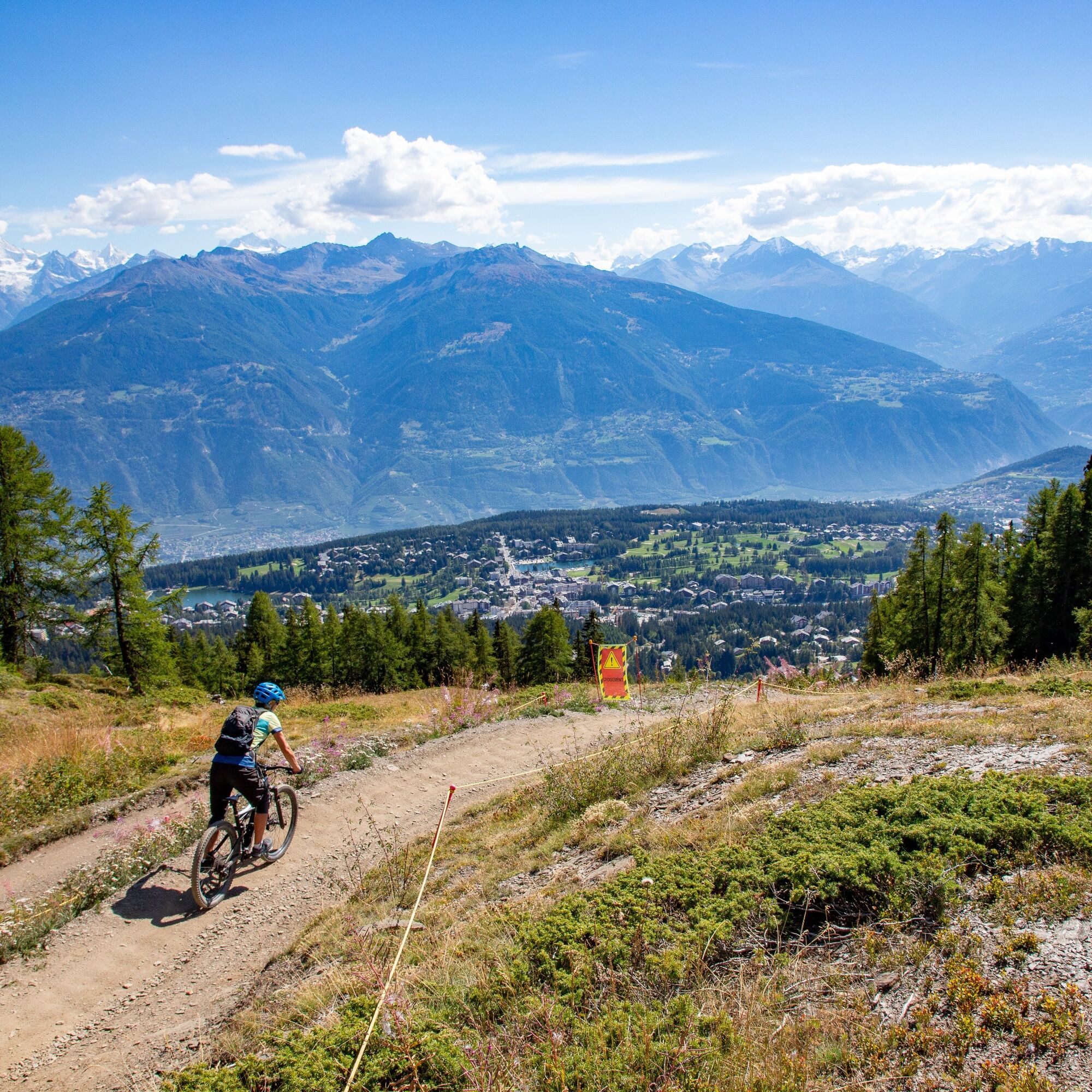
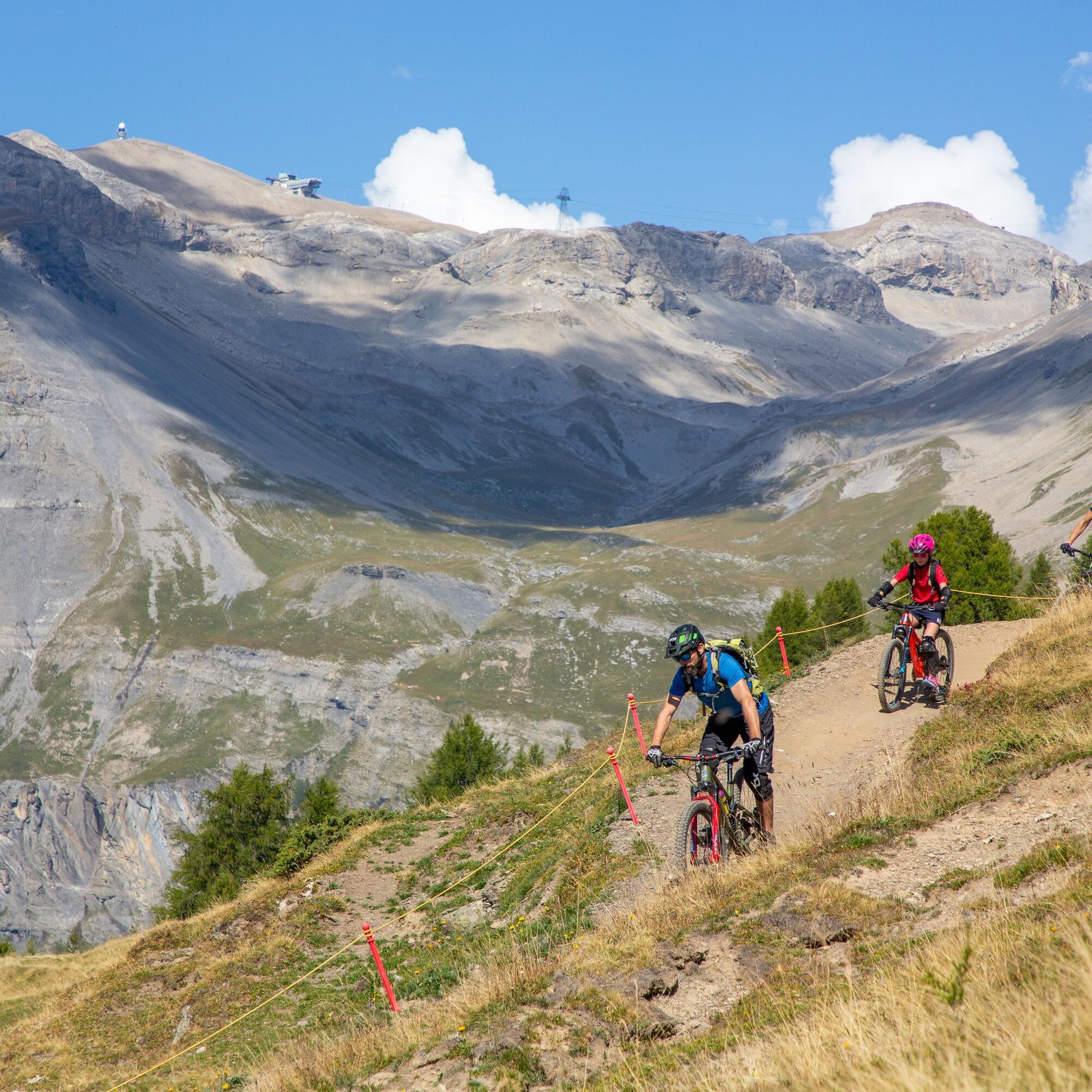
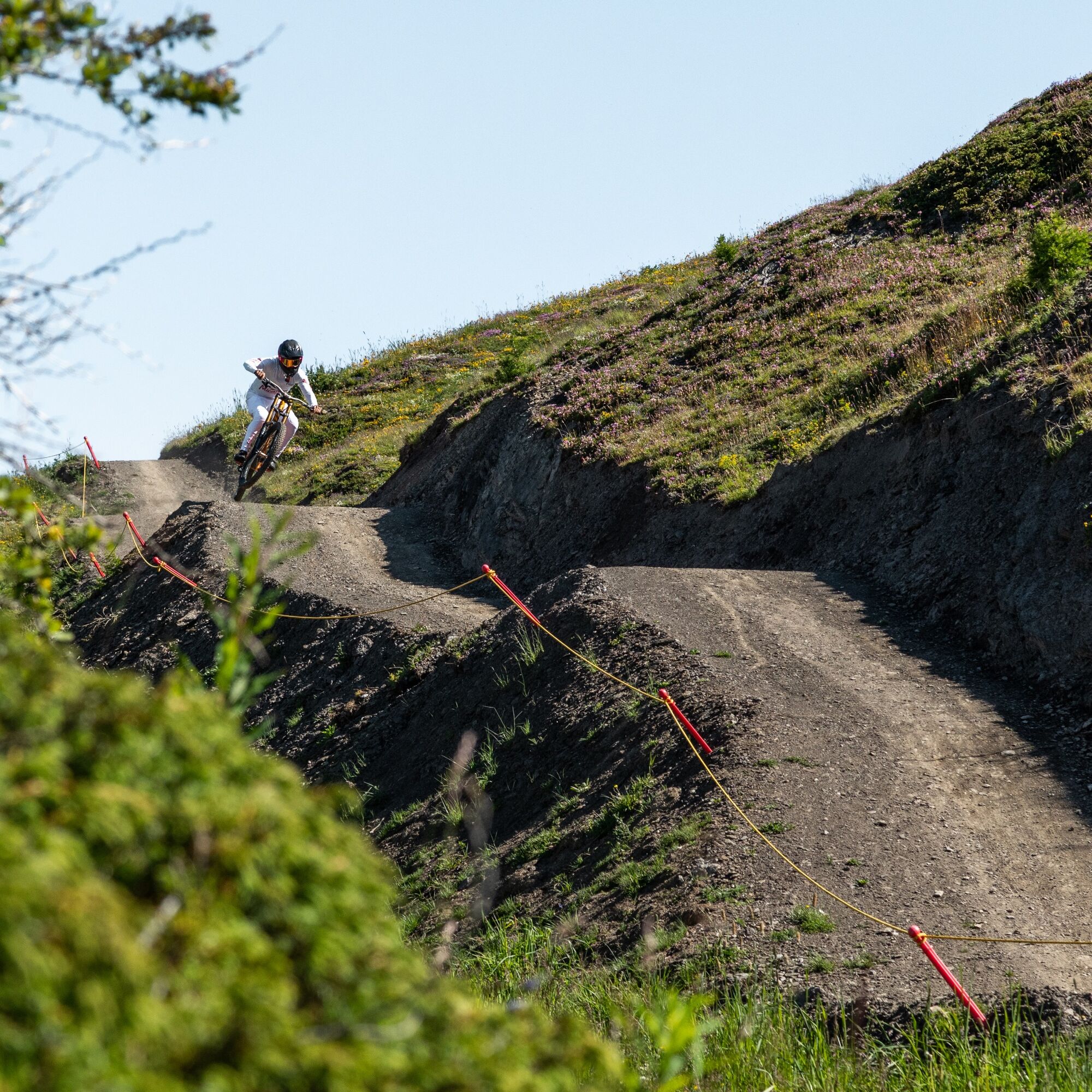
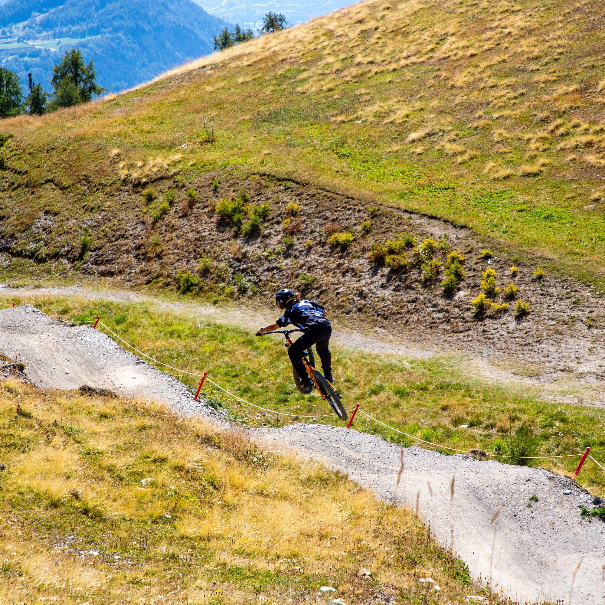
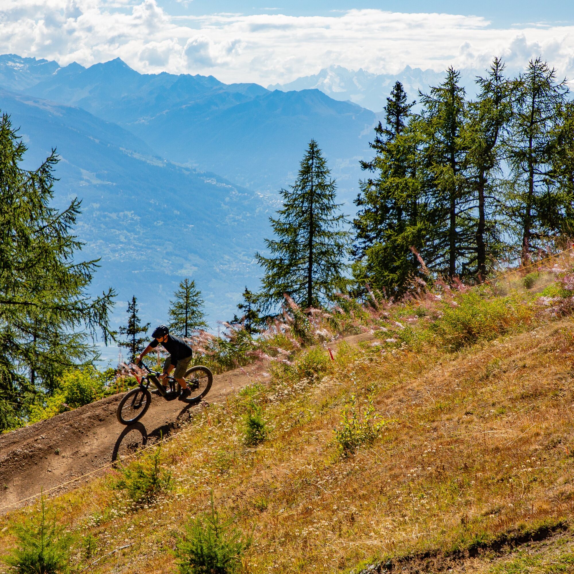
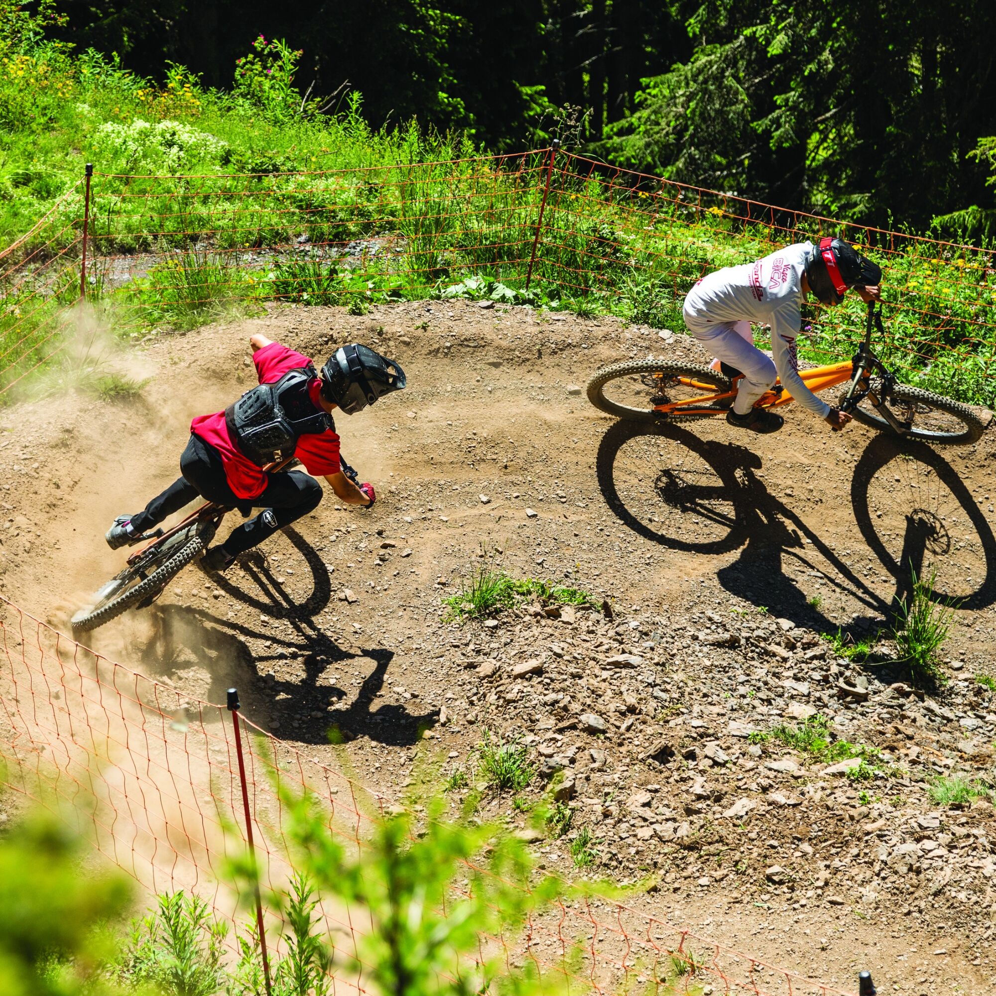
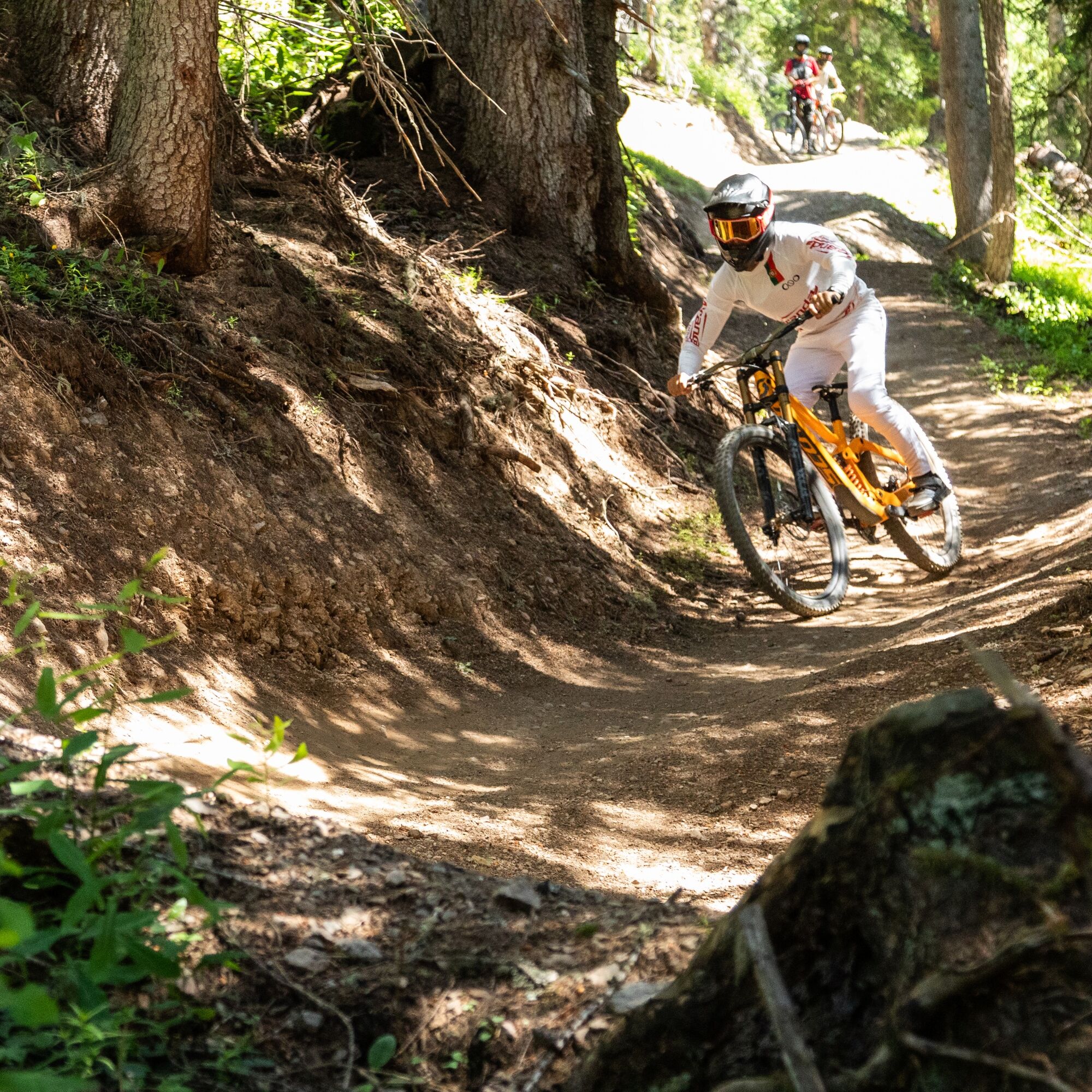
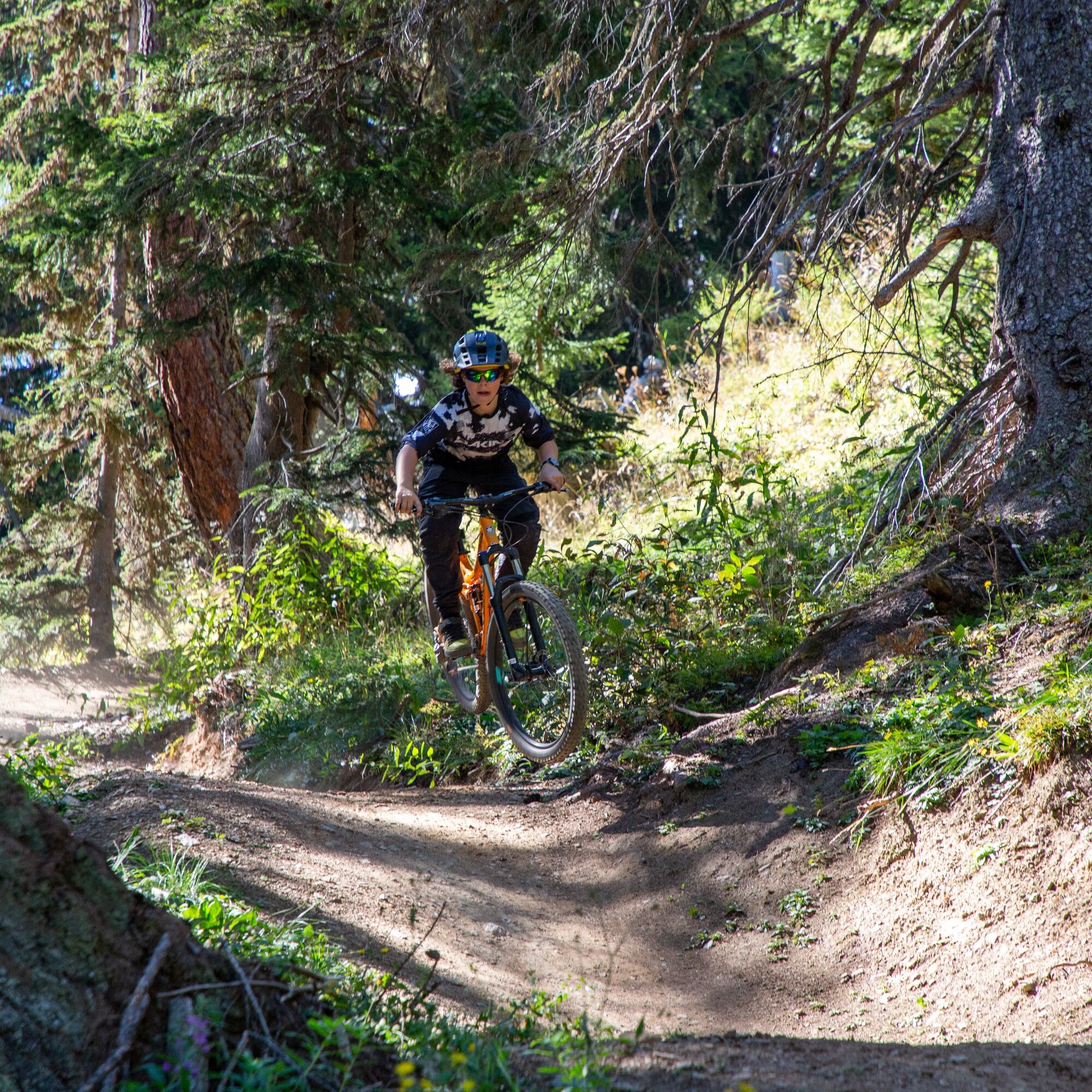
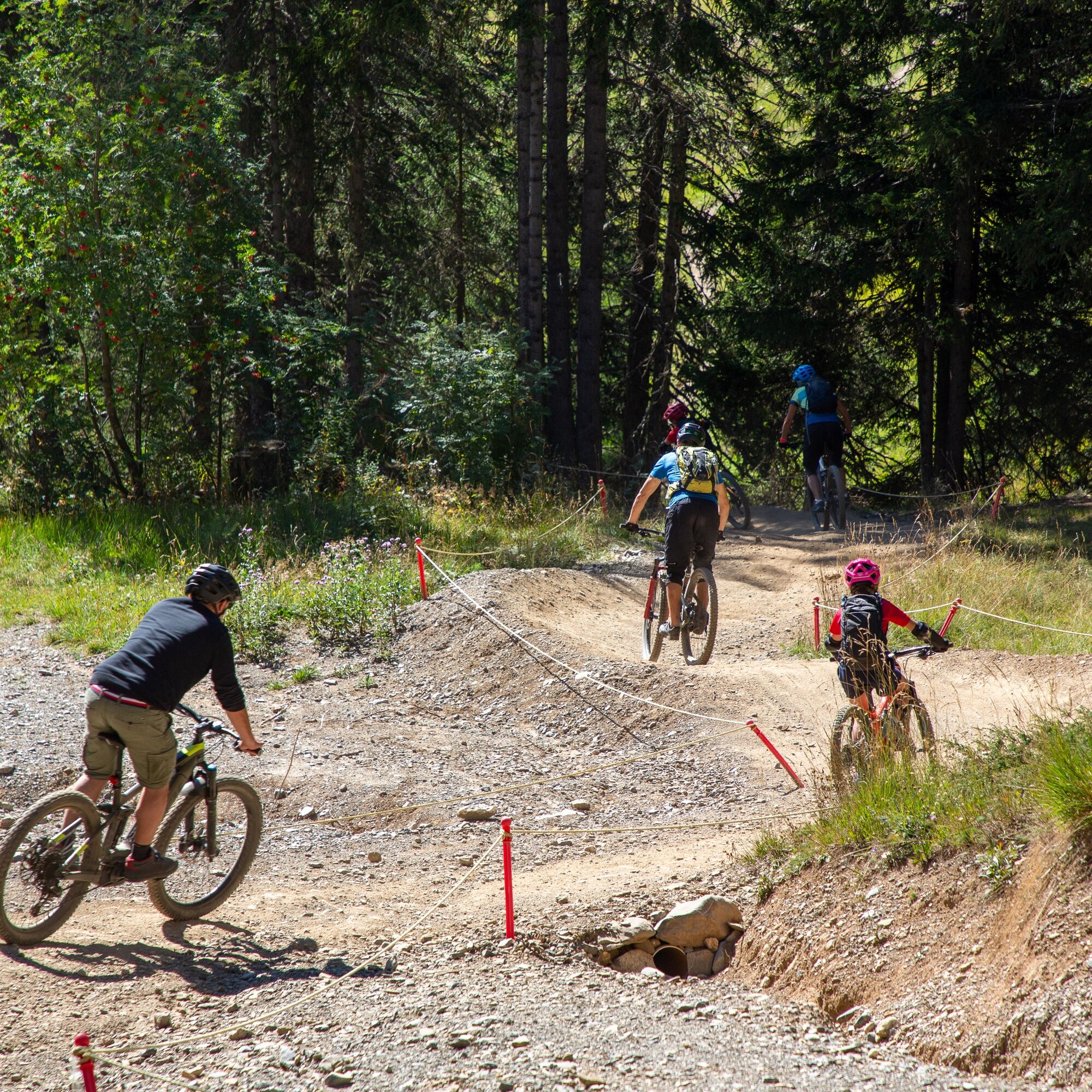
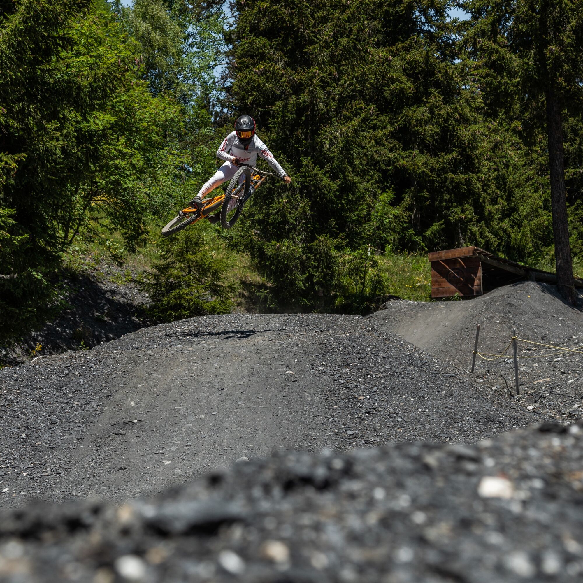
Designed as a genuine introduction to the world of downhill, this blue trail offers a clearly marked route that is smooth, progressive and easy to get to grips with. Over just more than 2 km, the descent...
Designed as a genuine introduction to the world of downhill, this blue trail offers a clearly marked route that is smooth, progressive and easy to get to grips with. Over just more than 2 km, the descent delivers everything needed for a successful first DH experience: gradient, flow, a few thrills and enough space to learn how to read the terrain. It is the ideal line for getting started, feeling more at ease on the bike and enjoying the ride without rushing the learning process.


Áno
Áno
Preparing for mountain bike outings
Best practice guidelines
When planning, take into account participants’ fitness level and ability. All riding is at one’s own risk.
From Sierre, take the A9 motorway exit, either Sierre-Est or Sierre-Ouest, and follow signs for Crans-Montana, Crans-Montana centre, then Crans centre. The drive takes around 20 to 25 minutes. Once in Crans-Montana, follow signs for the 🚡 Cry d'Er or 🚡 Chetzeron car park. Two car parks are available on site.
From Sierre SBB railway station, head to the SMC funicular station and take the funicular towards "Crans-Montana, gare", the final stop. The journey takes around 13 minutes, with three departures per hour.
When you leave the funicular:
Ride for around 10 minutes to reach the Crans-Cry d'Er lift departure point. Free SMC shuttle buses serve the whole Crans-Montana resort. The closest stop to the departure point is "télé Cry d'Er" on line 431.Then take the lifts up to Cry d'Er, before following the connecting trail down to Chetzeron.
The following car parks are located at the foot of the lifts:
Cry d'Er, paid outdoor car park
Chetzeron, paid indoor car park
S1
You can book your daily lift pass directly online. The Crans-Cry d'Er line runs from June to October. Timetables are available online.
Continue the descent on the Flowtrail Arnouva, or take the connecting trail back to the start of the lift system.
Získajte prehľad
Vždy naživo na mieste s viac ako 9 500 webovými kamerami. bergfex Ako používateľ Pro si teraz môžete pozrieť príslušné webové kamery pre mnohé zájazdy v aplikácii zájazdy z. Môžete si tak priamo prezerať aktuálne podmienky.
Obľúbené výlety v okolí
-
5,0
Bisse du Ro
svetloTuristika 11,2 km -
4,2
Grand Bisse de Lens
svetloTuristika 8,73 km -
4,7
Leukerbad - Gemmipass - Lämmerenhütte
strednáTuristika 9,49 km -
4,0
Gemmipass - Lämmerenhütte - Rote Totz Lücke - Daubensee - Gemmipass
strednáTuristika 13,7 km -
4,0
Tripon - Brac – Ancien Bisse du Torrent Neuf – St. Marguerite – Torrent Neuf – Prafirmin - St. Germain
svetloTuristika 12,9 km -
5,0
Klettersteig Daubenhorn
ťažkéVia ferrata 5,34 km -
4,0
Wolfstritt
Turistika 7,02 km -
5,0
Family-friendly Tsittoret bisse
svetloTuristika 7,14 km -
5,0
Grand bisse d’Ayent
strednáTuristika 11,7 km -
4,0
Belvédère via ferrata
strednáVia ferrata 1,81 km
Turistika a stopovanie


Nenechajte si ujsť ponuky a inšpiráciu na ďalšiu dovolenku
Vaša e-mailová adresa bol pridaný do poštového zoznamu.





