


WM route
Úroveň náročnosti: S2
Fotografie našich používateľov
-

 © peter_oeVytvorené dňa 21.09.2024
 -
 © peter_oeVytvorené dňa 21.09.2024
 -
 © peter_oeVytvorené dňa 21.09.2024
 -
 © peter_oeVytvorené dňa 26.08.2024
 -
 © peter_oeVytvorené dňa 26.08.2024
 -
 © peter_oeVytvorené dňa 26.08.2024
 -
 © peter_oeVytvorené dňa 26.08.2024
 -
 © peter_oeVytvorené dňa 26.08.2024
 -
 © peter_oeVytvorené dňa 26.08.2024
 -
 © peter_oeVytvorené dňa 26.08.2024
 -
 © peter_oeVytvorené dňa 26.08.2024
 -
 © peter_oeVytvorené dňa 26.08.2024
 -
 © peter_oeVytvorené dňa 26.08.2024
 -
 © peter_oeVytvorené dňa 26.08.2024
 -
 © Bruno ZahnoVytvorené dňa 03.10.2022
 -
 © Bruno ZahnoVytvorené dňa 03.10.2022
 -
 © Bruno ZahnoVytvorené dňa 03.10.2022
 -

 © mitjavodebVytvorené dňa 20.02.2026

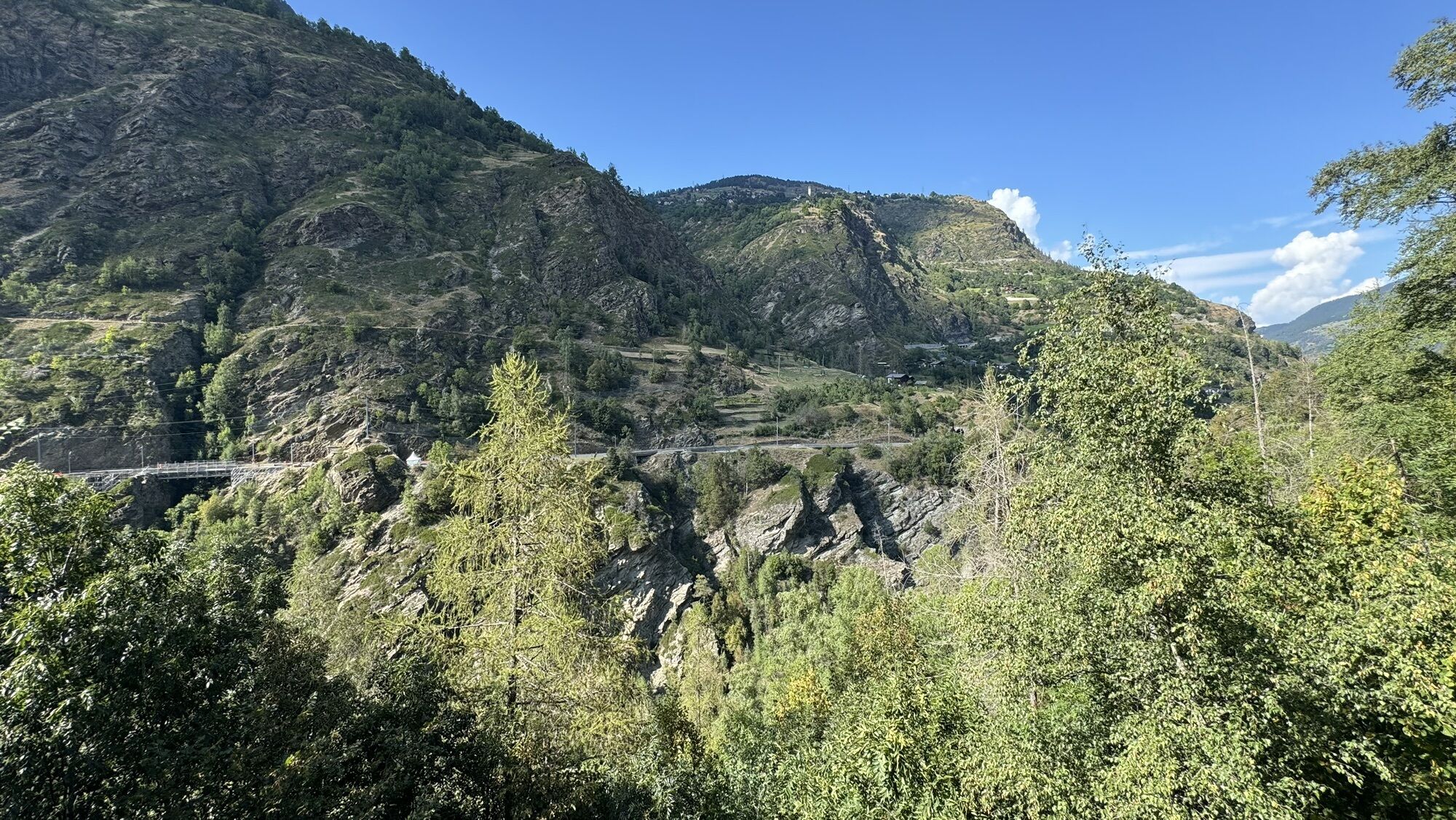
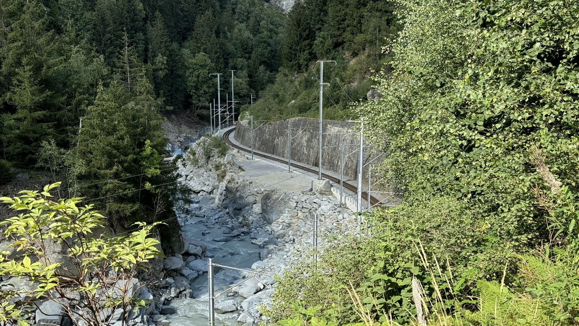


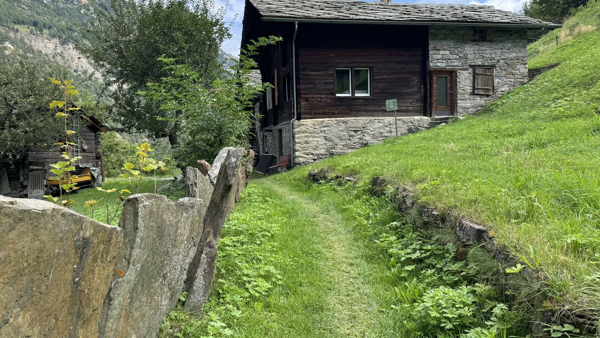
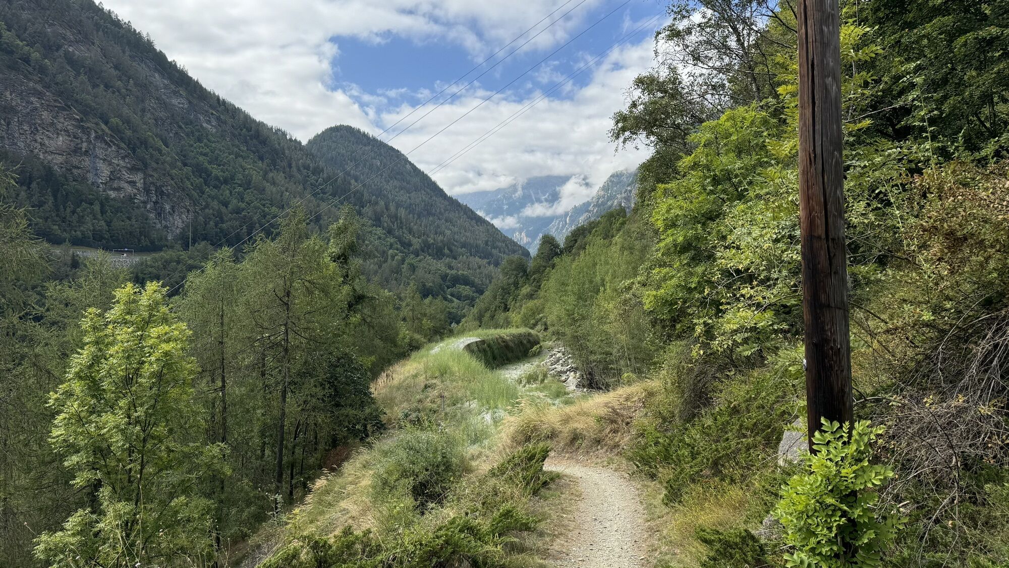
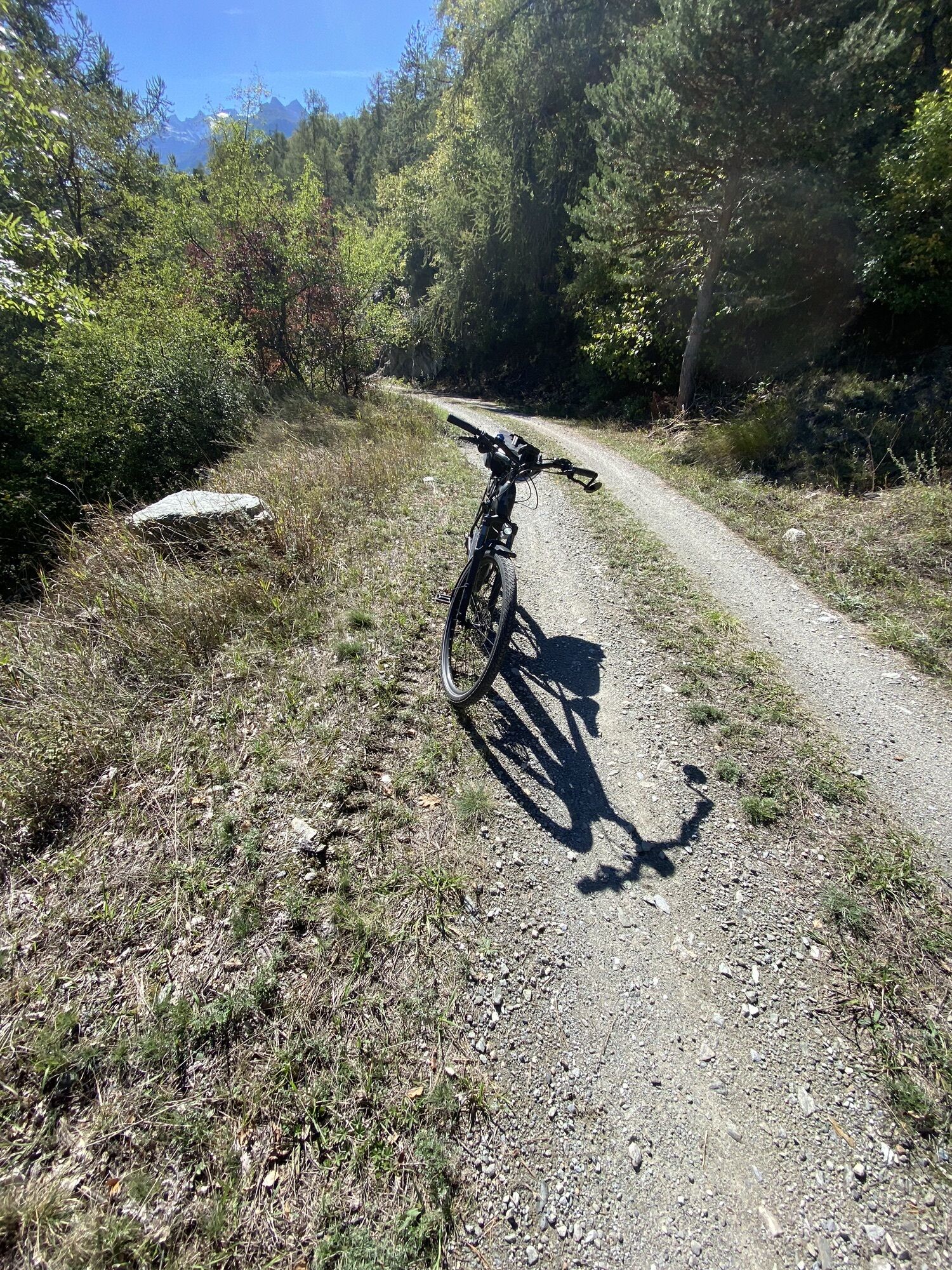
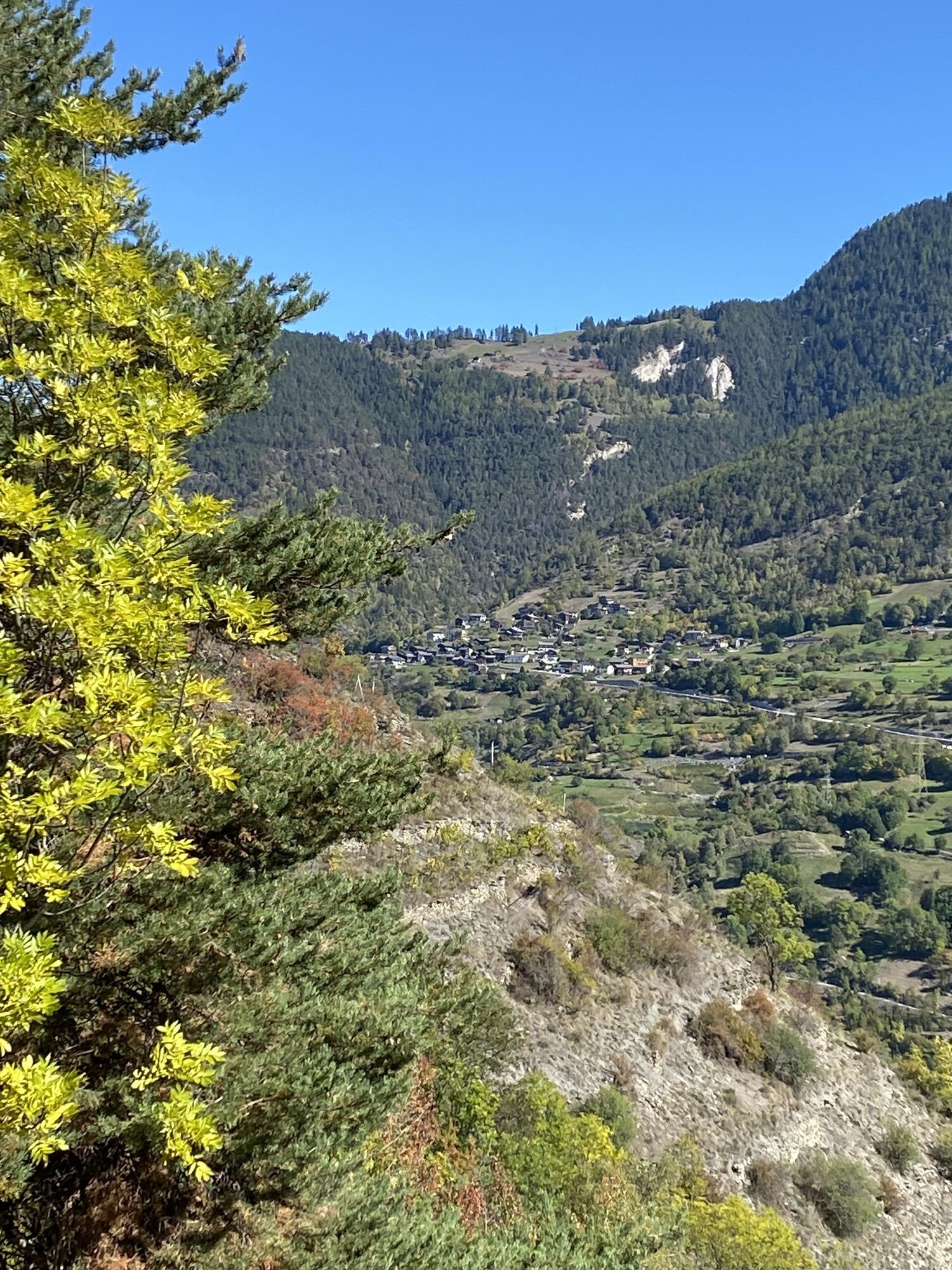
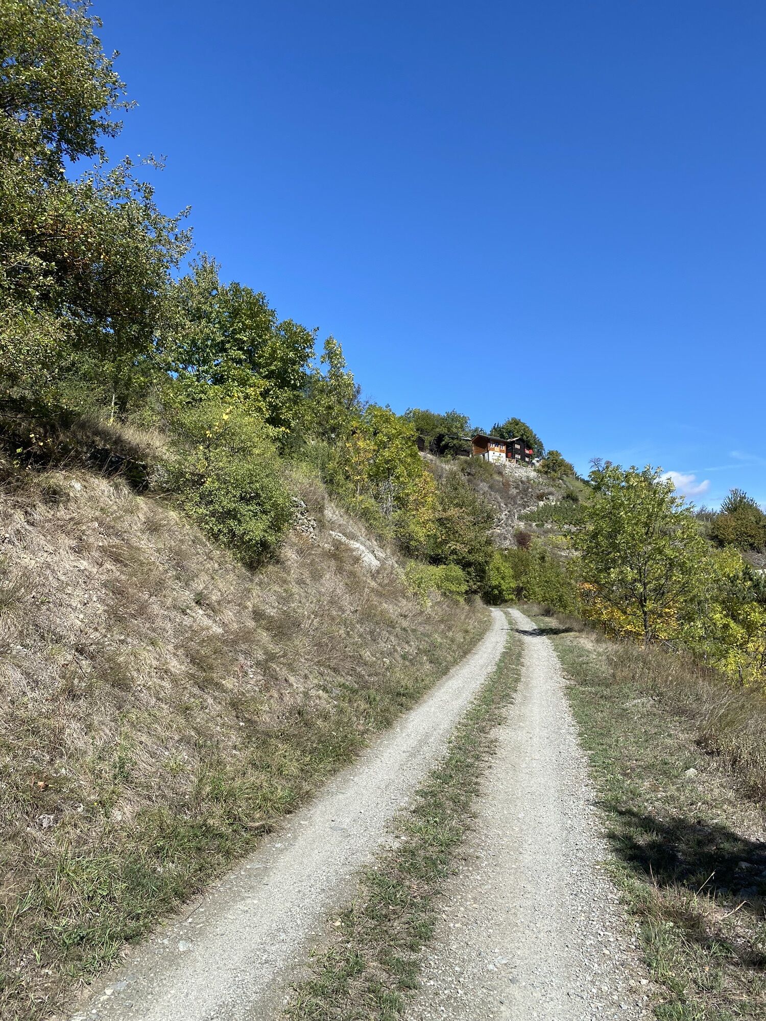
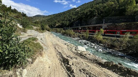
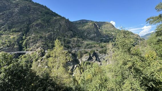
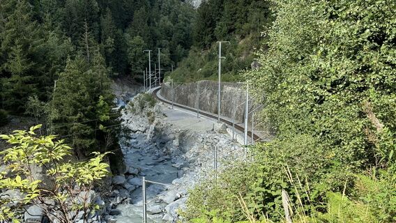
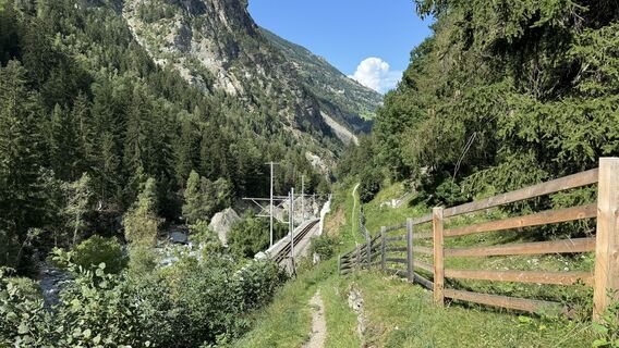
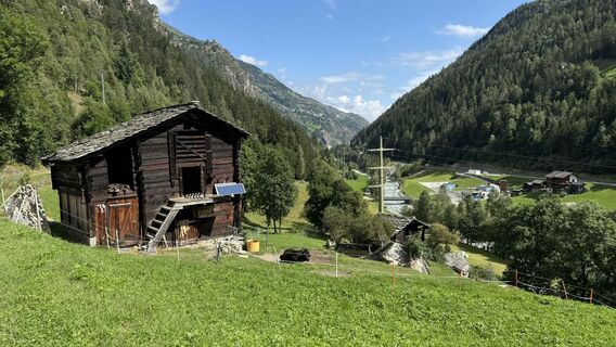
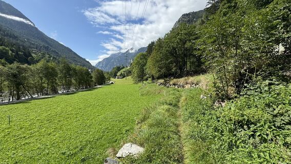
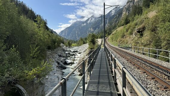
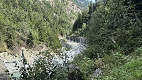
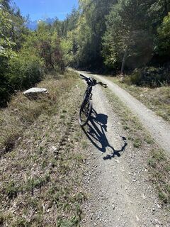
The route starts with a loop through the forests of Grächen, then through flowing trails to Kalpetran, technically easy climbs from Stalden to Visperterminen, through the old village center of Visperterminen...
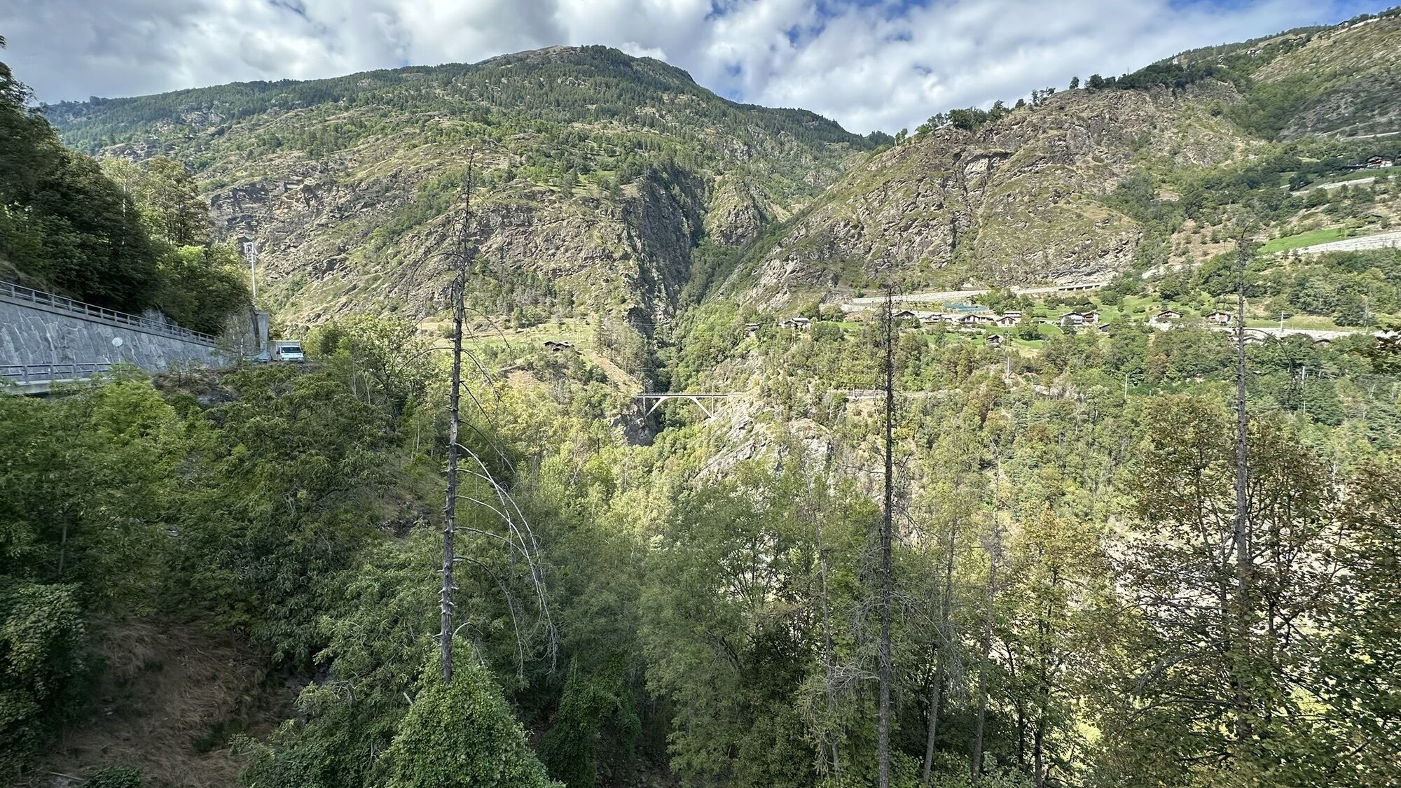
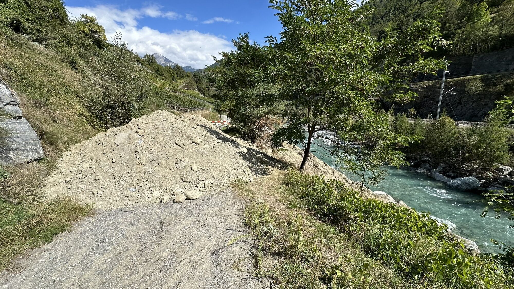
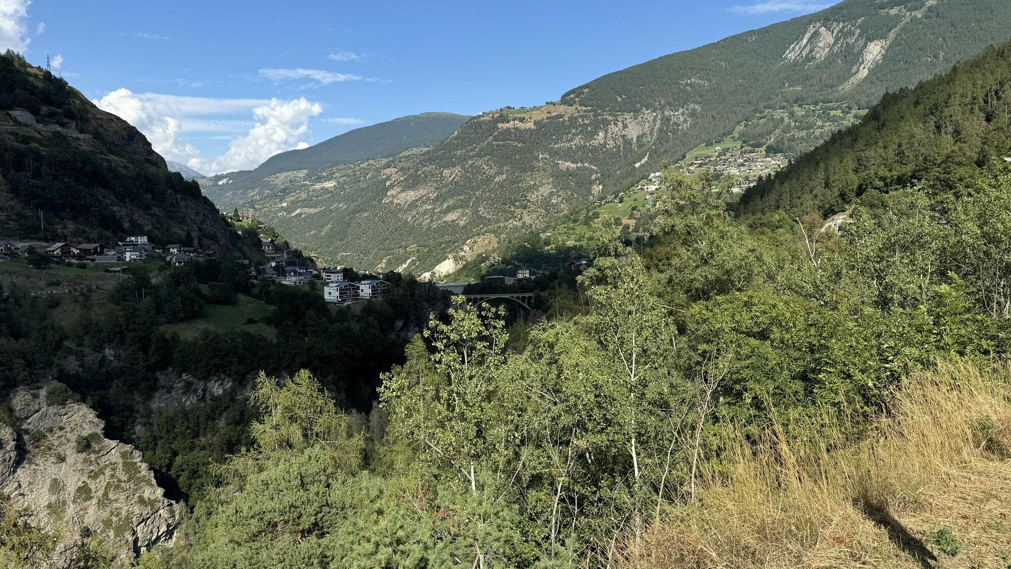
The route starts with a loop through the forests of Grächen, then through flowing trails to Kalpetran, technically easy climbs from Stalden to Visperterminen, through the old village center of Visperterminen and continues over a spectacular descent to Visp. From Stalden it goes nicely up again to Zeneggen, into a beautiful singletrail to rustic Törbel, further with a spectacular descent through the rocks below Embd, and then via St. Niklaus up to the sunny plateau of Grächen. Conclusion: The 2019 Marathon WM route is possibly the most attractive race course the marathon sport has ever seen.

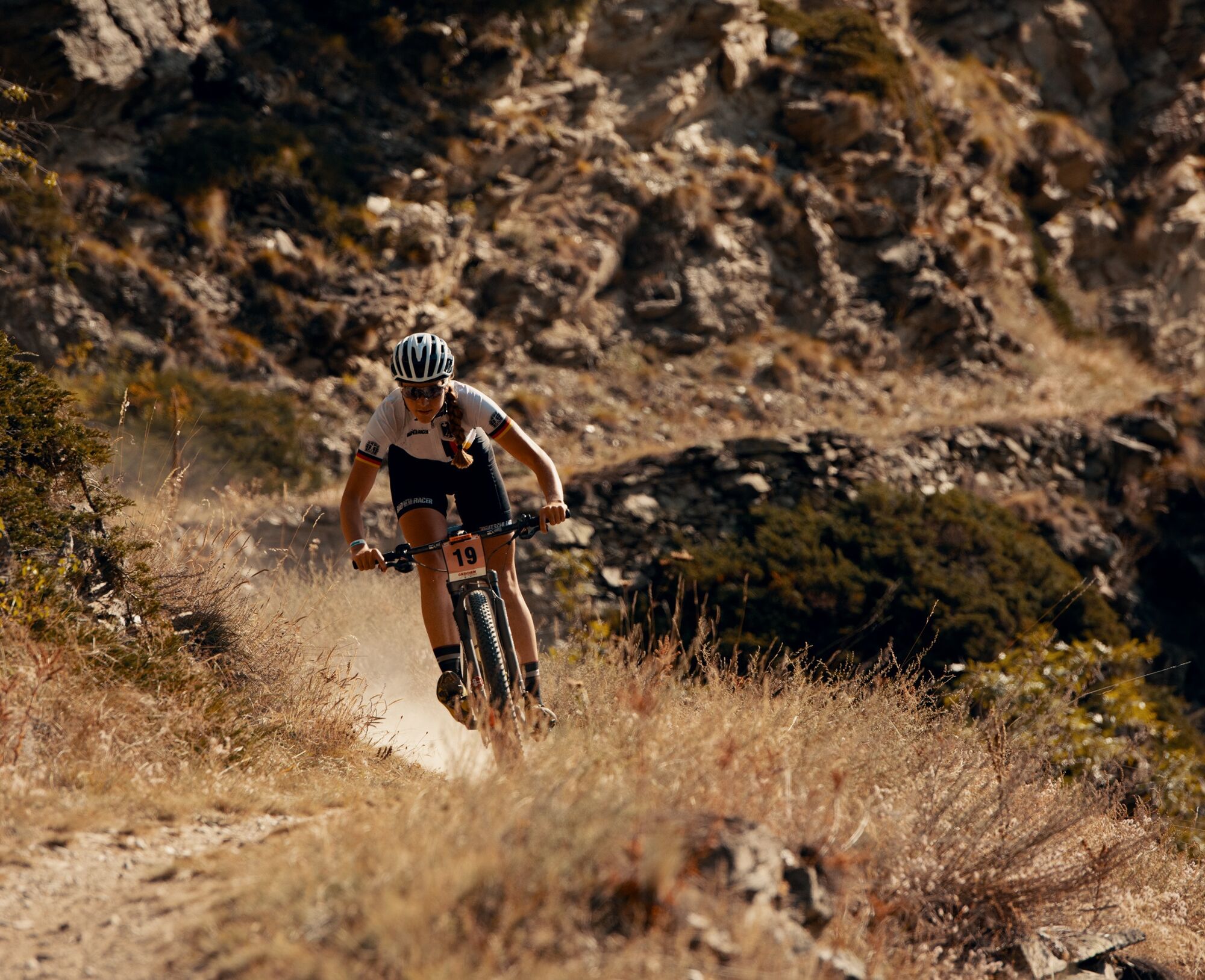
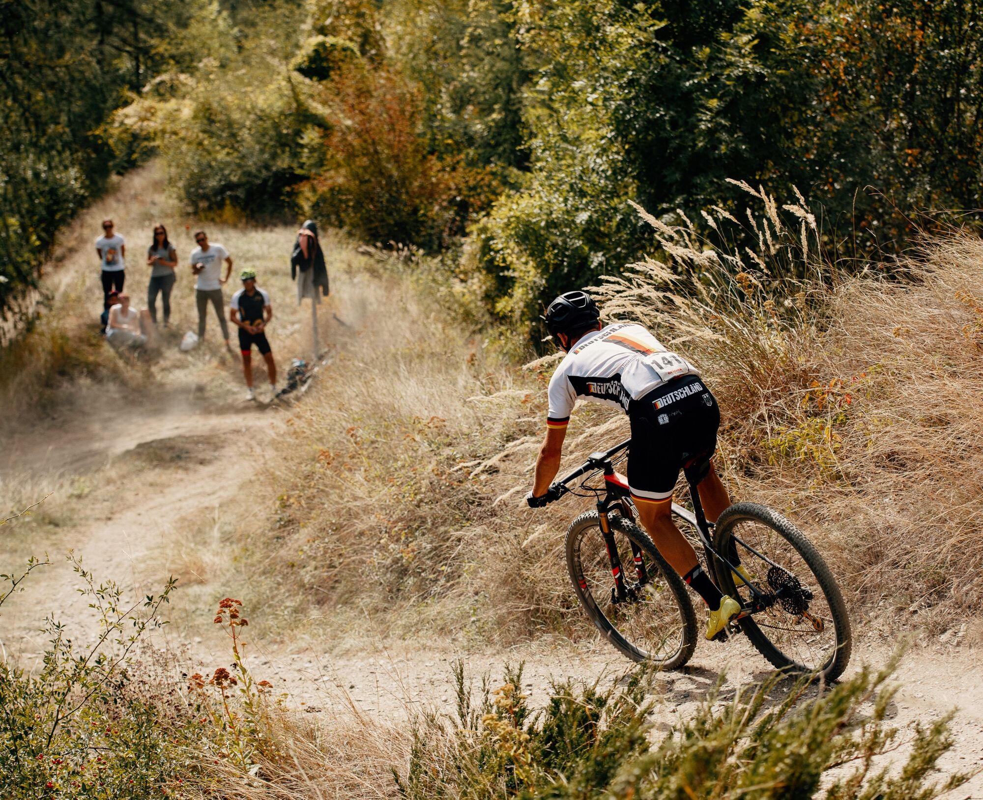
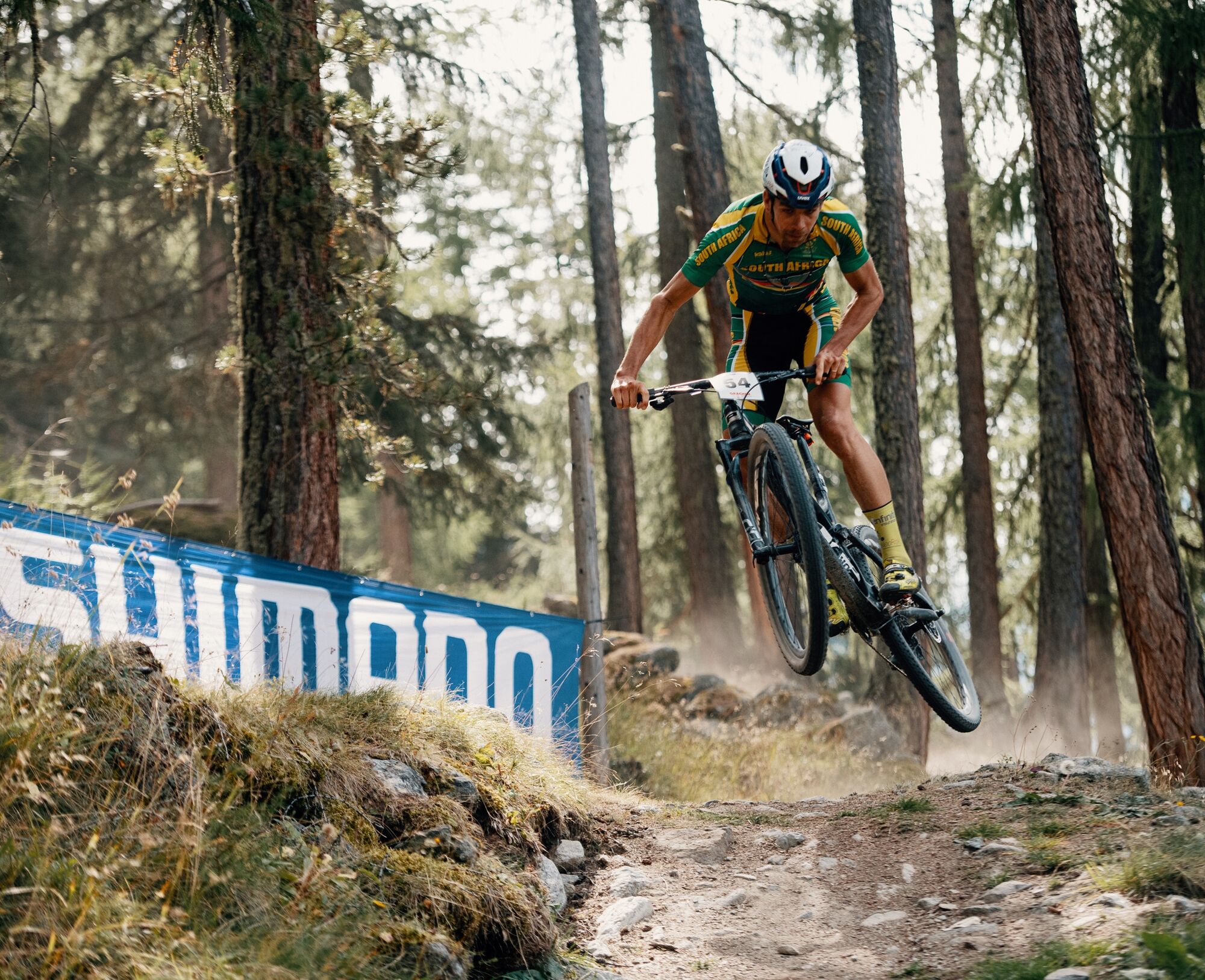
The starting point of the 2019 Marathon World Championships is the town of Grächen in the Mattertal. The start loop above the town along the Eggeri-Suone gives a first taste of the upcoming route. After passing through the town again, it leads almost up to the Hohtschugge guesthouse. Just before that, it goes left into the varied descent – initially still on gravel roads, but soon on fun singletrails. In switchback mode it descends to Kaleptran and then a bit along the main road and finally down gravel roads to the historic bridge below Stalden. Then the fun is over for the time being: The 800-meter ascent up to Riedji goes over a road but is demanding the first time. Finally, Visperterminen is reached, where the fun riding takes center stage again. First slightly downhill to Hotee, then over the now widely known supertrail through the Teelwald to Visp. Along the Vispa river you warm up for the next long ascent, this time 700 meters up to Zeneggen. For the upcoming descent, trail fun is on the agenda again. Via Törbel and Embd it goes down to the valley floor near Kalpetran, the starting point of the final ascent. For this, follow the marked bike route to St. Niklaus, at times uphill even on singletrails, until on the gravel road via Tennjen and Gasenried back to Grächen the last reserves of strength have to be tapped. The racers must then do a small lap after entering Grächen so that spectators can see something. However, no one will feel demeaned if they head straight for a beer garden here. They definitely deserve it.
Áno
By car ideally to Grächen parking garage.
Parking garage in Grächen
S2
www.graechen.ch
The WM participants and the MTB press were enthusiastic about the agricultural spectacle of this course.
Thomas Peter, Head of Competitive Sports Swiss Cycling:
"Personally, on behalf of Swiss Cycling and all participating marathon bikers, I would like to sincerely thank you for the great weekend. You managed to overcome the difficult conditions of a Marathon WM and organize a fantastic event. Once again, we were able to enjoy a great biking event. The comeback of Valais to the bike sport is definitely successful."
Ride Magazine, September 24, 2019:
"Ride has processed the route of the 2019 Marathon World Championships in Grächen into its route database. Conclusion: The course of the 2019 Marathon WM is possibly the most attractive race course the marathon sport has ever seen."
Webové kamery z prehliadky
-
Seetal - Grächen
-
Moosalp - Restaurant Moosalp - Törbel
-
Bergstation Sesselbahn Giw - Visperterminen
-
Hannigalp
-
Grächen - Dorf
-
Moosalp - Bergrestaurant Dorbia
-
Air Zermatt - Station Raron
-
Air Zermatt - Station Raron
-
Rothorli
-
Grächen
-
Air Zermatt - Station Raron
-
Gspon
-
Giw Bergstation
-
Furggen Berg
-
Törbel - Chalet Dolores
-
Yakfarm - Embd
-
Heidabahn Talstation
Obľúbené výlety v okolí
-
3,3
Europaweg Grächen - Europahütte - Zermatt
ťažkéTuristika 39,9 km -
3,8
Höhenweg Saas-Fee - Grächen
Turistika 12,0 km -
5,0
Moosalp Panoramaweg
svetloTuristika 6,36 km -
5,0
Via ferrata Jägihorn
ťažkéVia ferrata 6,14 km -
3,5
Saas-Fee - Gemsweg - Hannig - Plattjen
Turistika 6,89 km -
4,0
NATICHERBERG CIRCULAR TRAIL
strednáTuristika 12,1 km -
4,5
Saas Fee - Bärenfalle - Melchboden - Hannigalp
strednáTuristika 8,38 km -
Längfluh / Saas-Fee
strednáTuristika 6,46 km -
Kinderwanderweg MoosAlbi uns seine Waldtiere
svetloTuristika 3,50 km -
Panoramaweg Visperterminen
svetloTuristika 9,72 km

Turistika a stopovanie


Nenechajte si ujsť ponuky a inšpiráciu na ďalšiu dovolenku
Vaša e-mailová adresa bol pridaný do poštového zoznamu.