






Galmihorn Bike

Úroveň náročnosti: S2
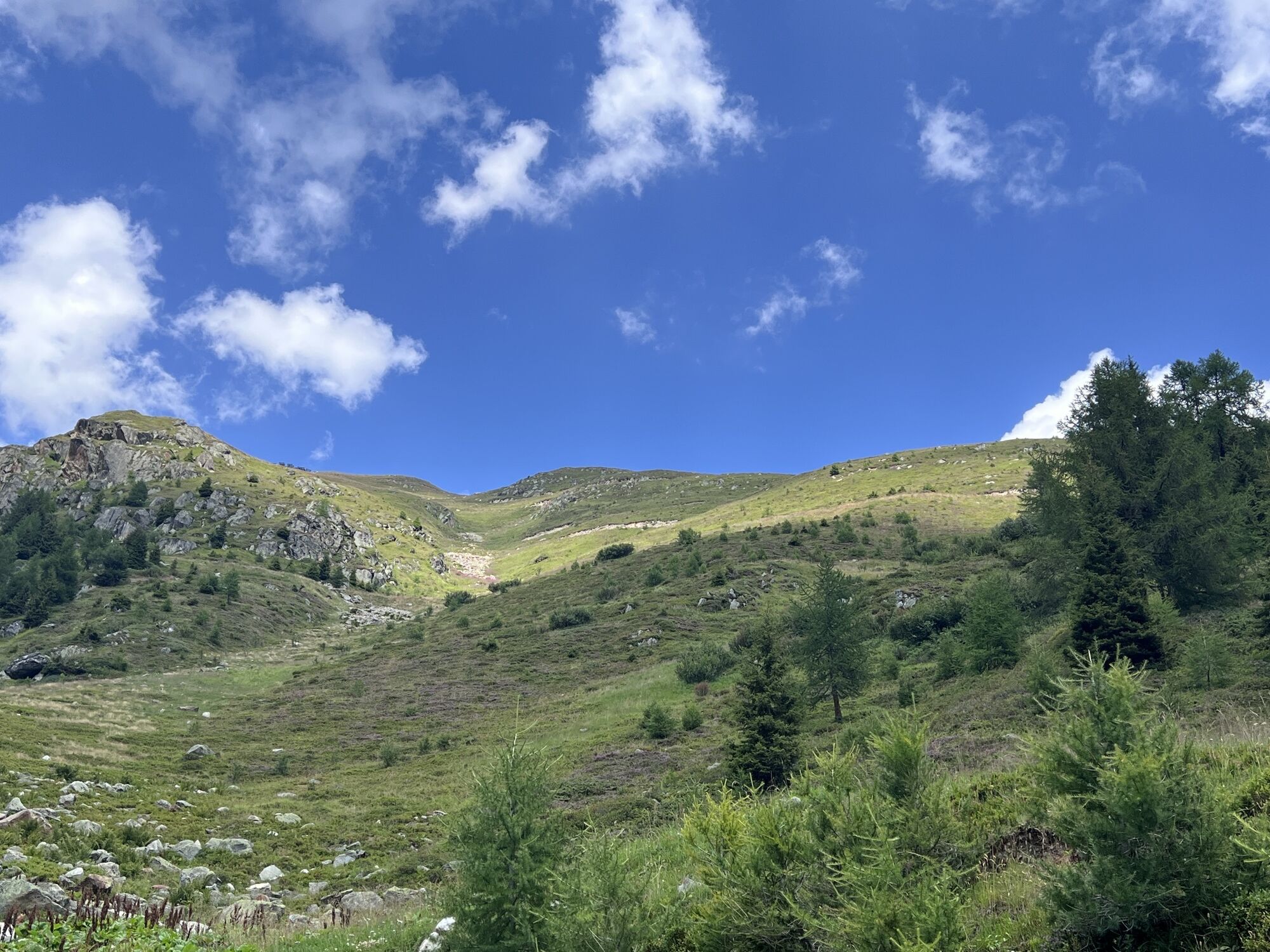
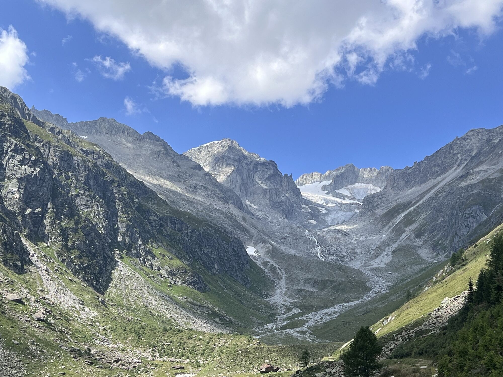
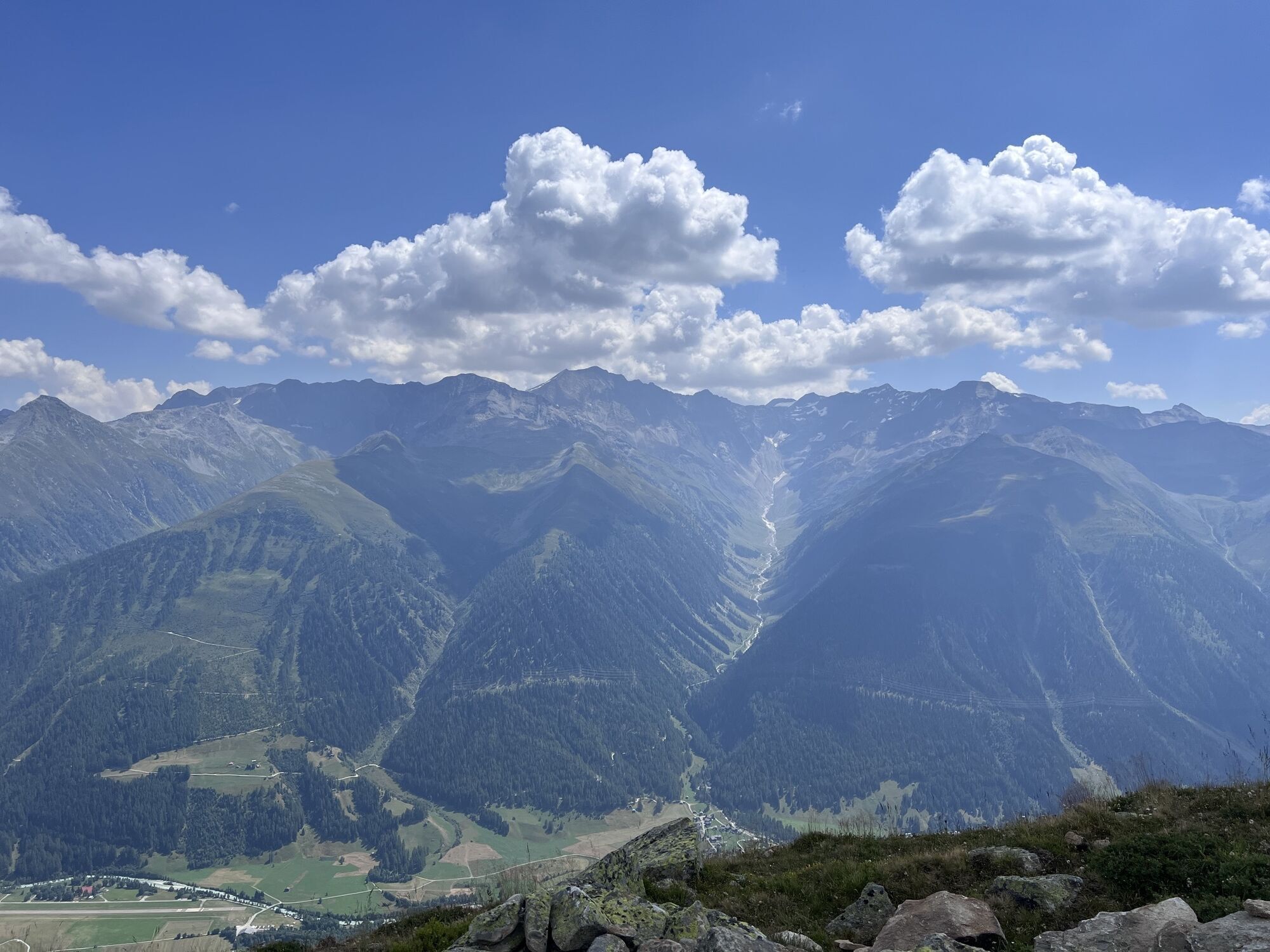
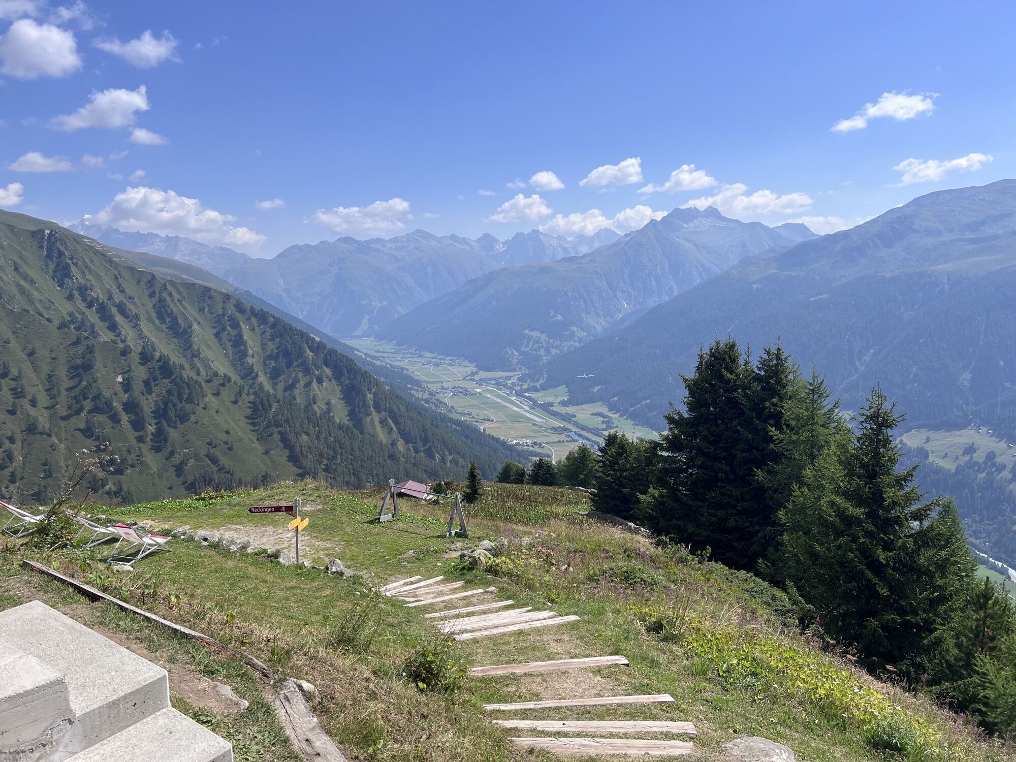
During the ascent above Reckingen, you are repeatedly rewarded for your efforts with extensive views into the Blinnen and Bächi valleys, to the Weisshorn and Matterhorn, to the Galenstock and into the...
During the ascent above Reckingen, you are repeatedly rewarded for your efforts with extensive views into the Blinnen and Bächi valleys, to the Weisshorn and Matterhorn, to the Galenstock and into the Rhone valley. At the Galmihornhütte you can recover from the exertion and prepare for the descent.

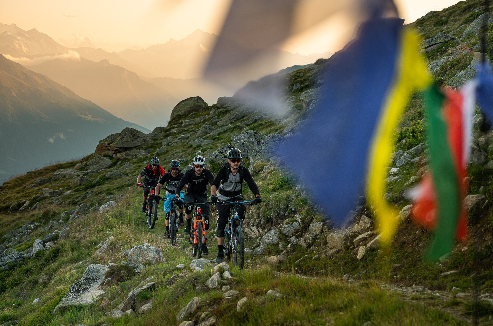
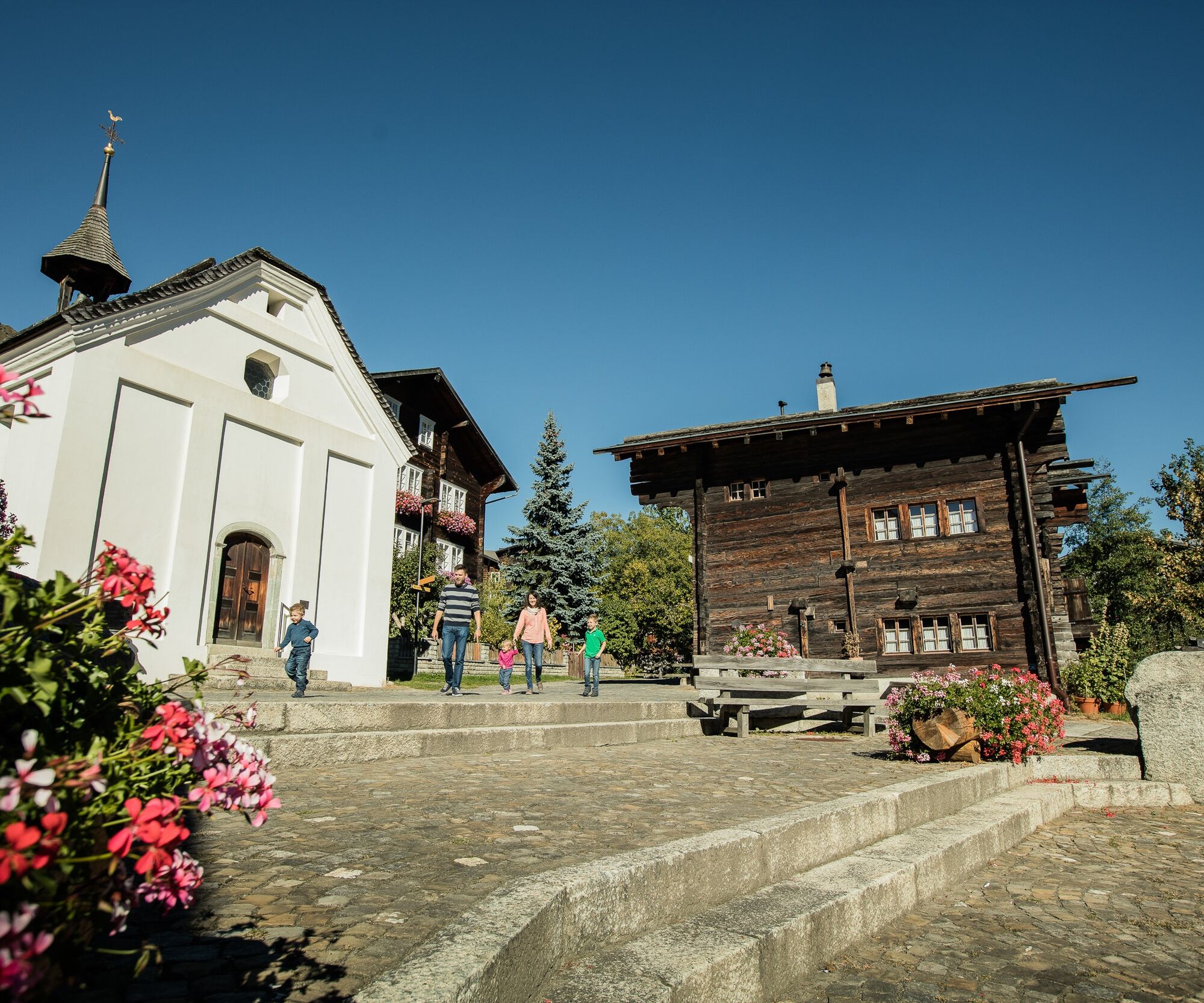
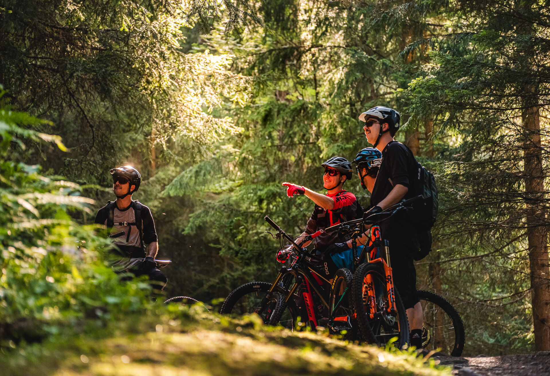

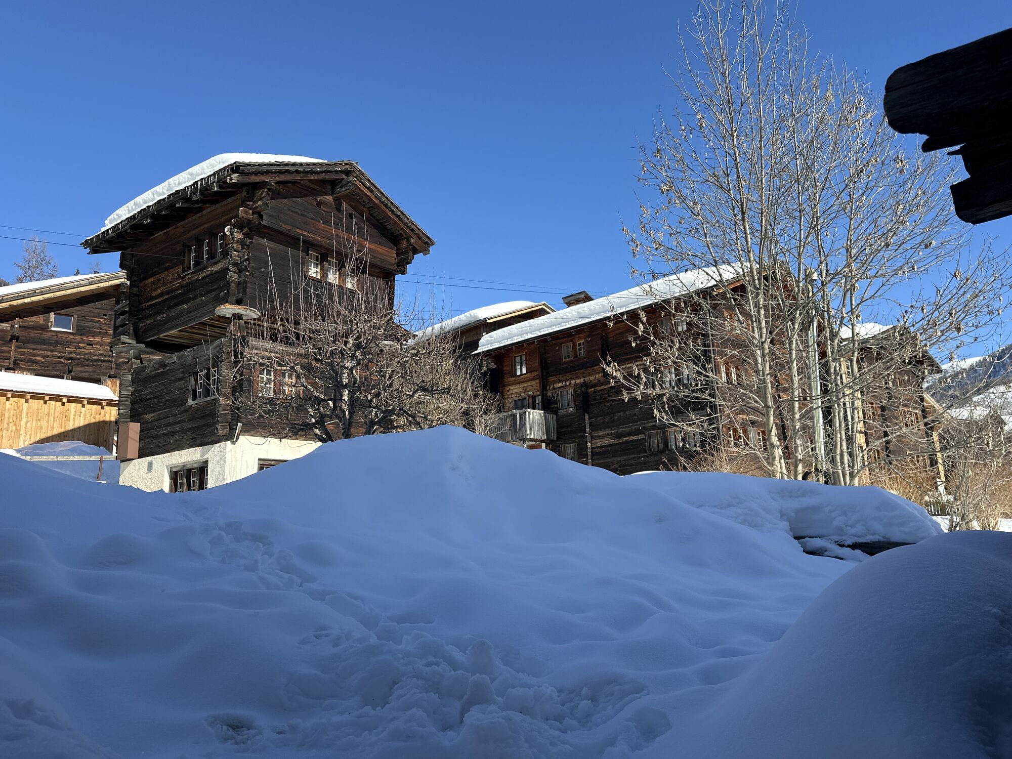
First, you pass through the village of Reckingen-Gluringen, then you find yourself on the switchbacks of an asphalt road, which soon turns into a smaller path. On the ascent, you have to overcome about 1100 meters of elevation gain, but the climb is very steady and thus pleasant to ride. After about 12.5 kilometers, you reach the highest point of the route at 2396 meters above sea level.
You have earned a break, as well as stopping at the Galmihornhütte. You reach it after a fast trail descent. After the hut, the trail then turns back into a wider path, which leads you back to the valley in long switchbacks.
To the interactive map
Our recommendation: Technically flawless bike, helmet, gloves and bell, weather-appropriate clothing (always with you: rain protection), drink and provisions.
Only use the marked bike paths and roads and follow the signs. Please close gates and pasture fences behind you. Be considerate of hikers as well as plants and animals. Hikers always have the right of way. Assess your own abilities and fitness well. Riding the different routes is always at your own risk.
From Brig-Glis, you reach Reckingen via the main road along the Rhone.
Take the train to Reckingen. Remember to reserve a spot for your mountain bike via the SBB Mobile App or at sbb.ch.
Parking spaces are available at Reckingen train station.
S2
At a stop at the Galmihornhütte, you can regain new strength.

Webové kamery z prehliadky

Obľúbené výlety v okolí
-
5,0
Circular hike from Grimsel Pass - Sidelhorn via Jostsee
strednáTuristika 8,47 km -
5,0
9 lake-trail
ťažkéTuristika 17,3 km -
4,5
Panoramaweg über den Aletschgletscher
strednáTuristika 17,7 km -
UNESCO Höhenweg
Turistika 3,70 km -
5,0
Pfingstegg - Bäregg - Schreckhornhütte SAC
ťažkéHorská turistika 16,5 km -
4,0
Eggishorn via ferrata
strednáVia ferrata 1,39 km -
3,5
Circular hike Furka Pass-Tällistock
strednáTuristika 11,0 km -
5,0
Aletsch Sightseeing
strednáZimná turistika 15,5 km -
4,5
Hike to the Glacier View in Bellwald
strednáTuristika 8,86 km -
5,0
Binntal, Twingischlucht- Binn nach Ernen
strednáTuristika 10,6 km
Turistika a stopovanie


Nenechajte si ujsť ponuky a inšpiráciu na ďalšiu dovolenku
Vaša e-mailová adresa bol pridaný do poštového zoznamu.





