


Saas-Fee - Valleys & Musts
Úroveň náročnosti: 3
The first kilometers from Visp ascend only slightly and serve to warm up the leg muscles before the real ascent begins relatively suddenly just before Stalden. Then you turn left towards Saas-Fee, leaving...
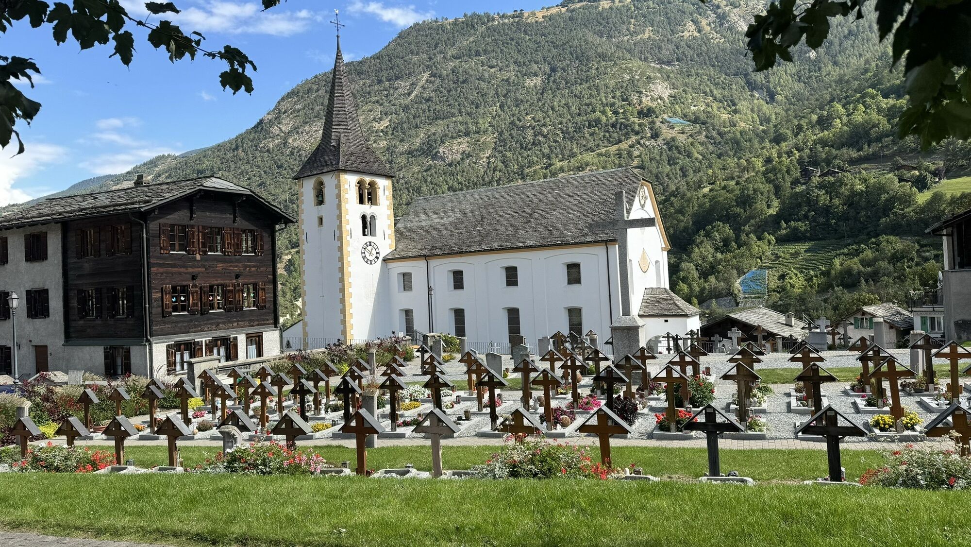
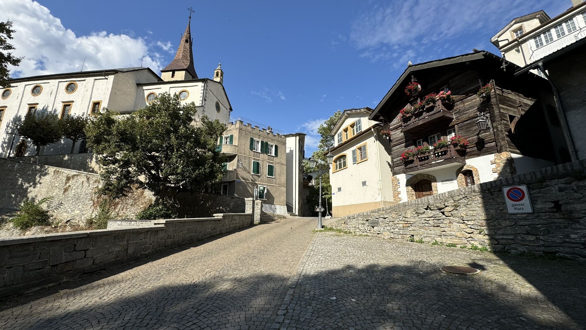
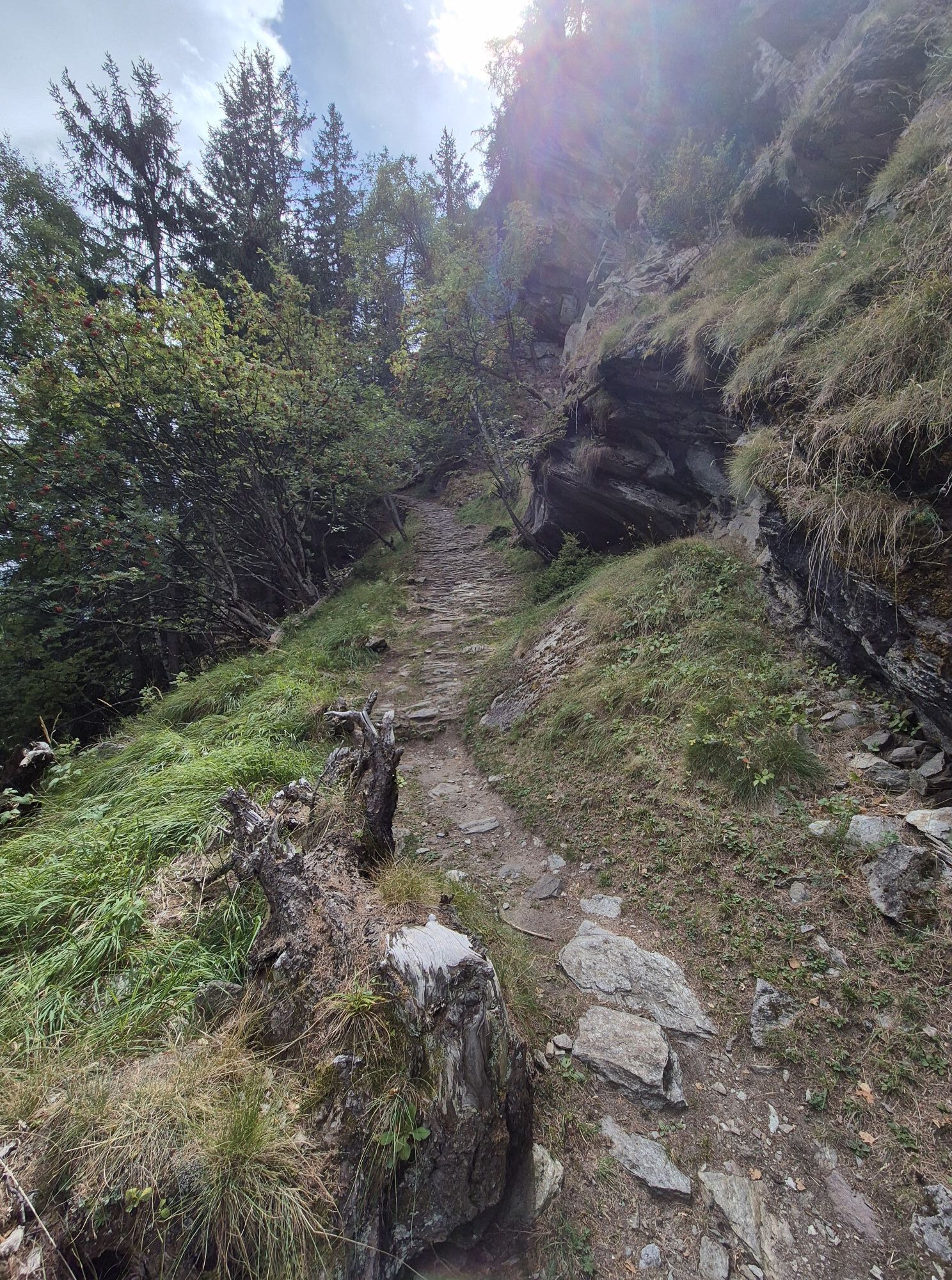
The first kilometers from Visp ascend only slightly and serve to warm up the leg muscles before the real ascent begins relatively suddenly just before Stalden. Then you turn left towards Saas-Fee, leaving the valley that leads to Zermatt on your right. Several winding and relatively steep kilometers follow until Saas-Grund. Here you turn again and tackle the last kilometers to Saas-Fee, which will challenge you once more. This peaceful car-free holiday resort offers a breathtaking panorama with a clear view of several four-thousanders: Dom, Nadelhorn, Täschhorn, Alphubel, Allalinhorn…

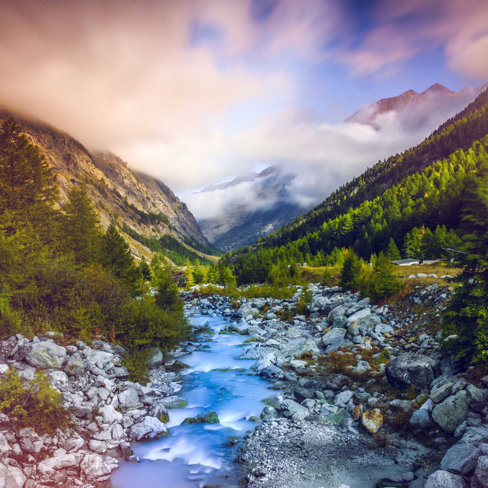
From Visp, you can first warm up a bit along the Vispa. You initially follow the road that leads to the well-known ski resorts Zermatt and Saas-Fee before turning left into the Saas Valley after the village of Stalden. The incline remains steady up to Saas-Balen. After that, you can let your legs run free to Saas-Grund and further to Saas-Almagell before tackling the last, steeper part of the ascent to Saas-Fee. The view of the high valley up to the Mattmark dam is magical. Continue your route in Saas-Fee and take the cable car to the Mittaghorn to better enjoy the magnificent mountain world with its surrounding peaks.
Áno
Our recommendation: technically flawless bicycle, helmet, gloves, and bell, appropriate clothing depending on the weather (always include rain protection), drink, and food.
Respect Swiss road traffic rules. Traveling this route is at your own risk; any liability is excluded. Respect the flora and fauna in your surroundings. For your safety, we recommend wearing a bicycle helmet. Emergency numbers: 144 ambulance / 117 police / 1414 Rega. Assess your own abilities and fitness well. Traveling the different routes is basically at your own responsibility.
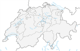
Cantonal road 9 leads you from Brig or Sierre to Visp.
Regular train connections from all over Switzerland via Lötschberg Base Tunnel or Simplon line to Visp.
Parking garage at the train station in Visp. Follow the local parking guidance system in Visp.
3
Ride the highest metro in the world to Mittelallalin.
Webové kamery z prehliadky
-
Seetal - Grächen
-
Kreuzboden
-
Hohsaas
-
Moosalp - Restaurant Moosalp - Törbel
-
Bergstation Sesselbahn Giw - Visperterminen
-
Hannigalp
-
Grächen - Dorf
-
Moosalp - Bergrestaurant Dorbia
-
Saas-Fee
-
Saas Grund - Ferienhaus Antigua
-
Air Zermatt - Station Raron
-
Air Zermatt - Station Raron
-
Rothorli
-
Grächen
-
Längfluh Berg
-
Längfluh Berg
-
Längfluh Berg
-
Längfluh Berg
-
Längfluh Berg
-
Längfluh Berg
-
Längfluh Berg
-
Air Zermatt - Station Raron
-
Gspon
-
Giw Bergstation
-
Dorf Saas-Fee
-
Furggen Berg
-
Törbel - Chalet Dolores
-
Yakfarm - Embd
-
Heidabahn Talstation
Obľúbené výlety v okolí
-
3,3
Europaweg Grächen - Europahütte - Zermatt
ťažkéTuristika 39,9 km -
3,6
Höhenweg Kreuzboden - Almagelleralp - Saas-Almagell
Turistika 9,74 km -
3,5
Waldweg Saas-Fee - Saas-Almagell
Turistika 2,83 km -
3,8
Höhenweg Saas-Fee - Grächen
Turistika 12,0 km -
5,0
Moosalp Panoramaweg
svetloTuristika 6,36 km -
5,0
Weissmies Südgrat von Saas Almagell
strednáVysoké turné 20,5 km -
5,0
Via ferrata Jägihorn
ťažkéVia ferrata 6,14 km -
3,5
Saas-Fee - Gemsweg - Hannig - Plattjen
Turistika 6,89 km -
5,0
Furggu-Trail
svetloSnežnice 5,02 km -
4,5
Saas Fee - Bärenfalle - Melchboden - Hannigalp
strednáTuristika 8,38 km
Turistika a stopovanie


Nenechajte si ujsť ponuky a inšpiráciu na ďalšiu dovolenku
Vaša e-mailová adresa bol pridaný do poštového zoznamu.