



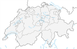


Around the Tseuzier Reservoir
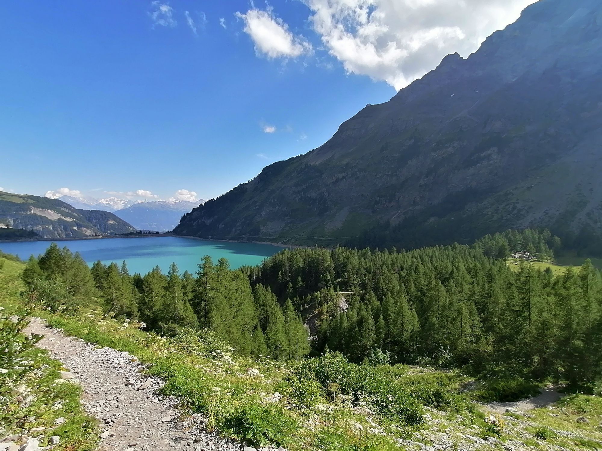

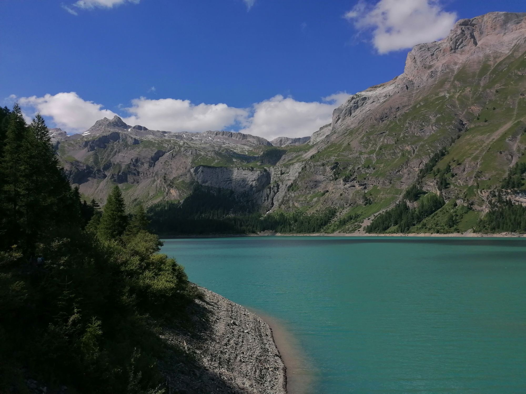
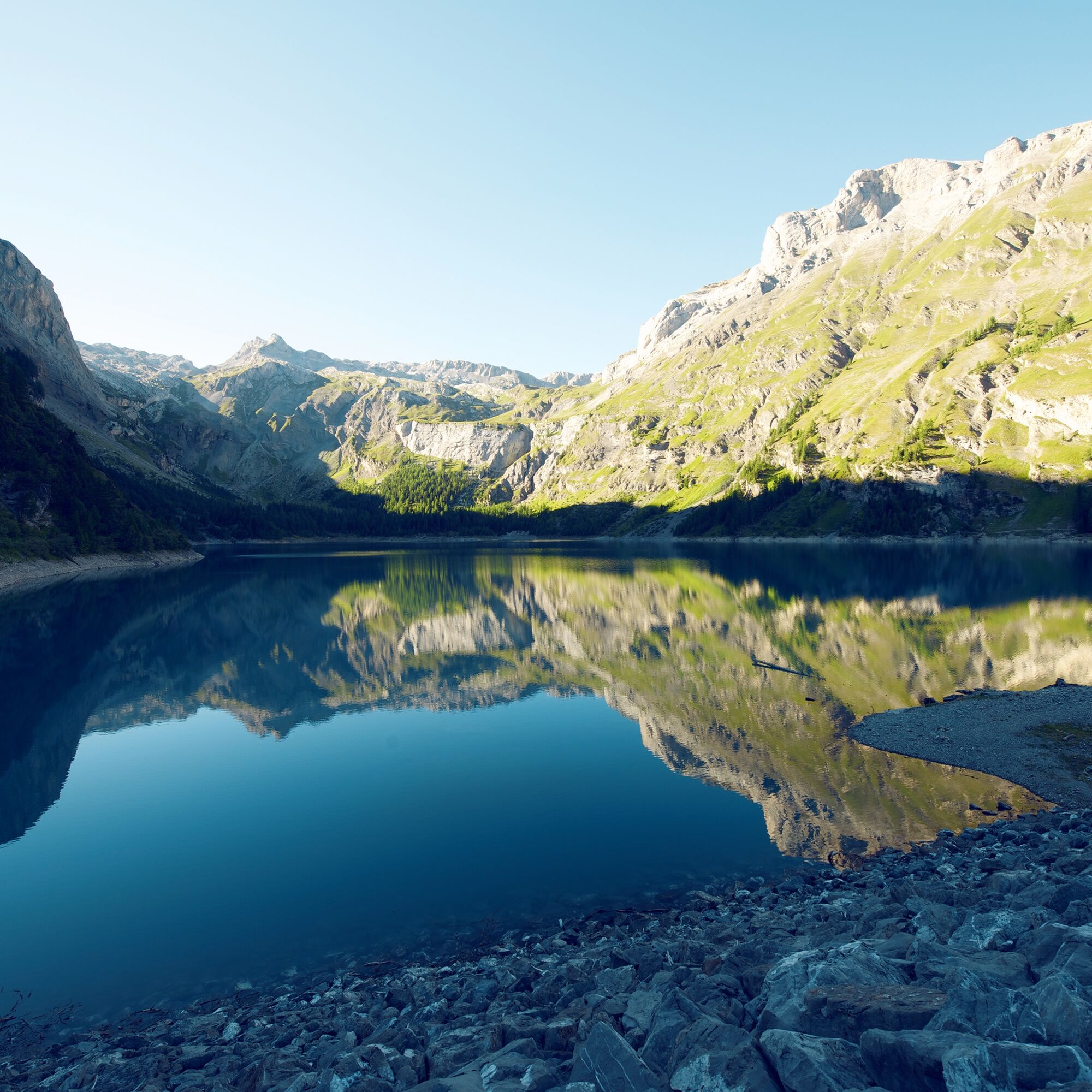
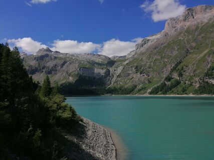
The Tseuzier is a reservoir created by the construction of the Rawyl Dam (1953–1957). Surrounded by forests and meadows, the lake offers hikers a refreshing natural experience.
The path leads counterclockwise...
The Tseuzier is a reservoir created by the construction of the Rawyl Dam (1953–1957). Surrounded by forests and meadows, the lake offers hikers a refreshing natural experience.
The path leads counterclockwise around the lake. The starting point is at the Restaurant du Barrage de Zeuzier at 1777 m above sea level. The panoramic terrace of the restaurant offers refreshment before or after the hike.
At the far end of the lake, the path passes the source of the Bisse de Sion. This historic irrigation channel carries water to vineyards and slopes, ultimately feeding the Sionne, which flows through the canton capital of Valais. Shortly after the picturesque source, the channel crosses a mountain stream below by way of a wooden structure.
The surroundings are magical: the alpine pastures of Rawyl, surrounded by rocks and waterfalls, invite you to dream. The "Gîte Lourantze" offers a rest with a tipi and dormitory. The route from here over the Rawyl Pass into the Bernese Oberland was used by the Romans as a trade path.
The lake circuit continues along the channel, which disappears from time to time into tunnels or rock-cut passages. Afterwards, the path leads along the shore back to the starting point at the dam.
Tip for families with small children: The entire hike covers an elevation difference of 140 meters – therefore a child carrier is better suited than a stroller. The second part of the hike is flatter; with a stroller, it is recommended to complete the outbound and return journey along the west shore.
Highlights
Easy, idyllic hike in the most beautiful surroundings Alpine pastures at the end of the lake with a friendly mountain inn
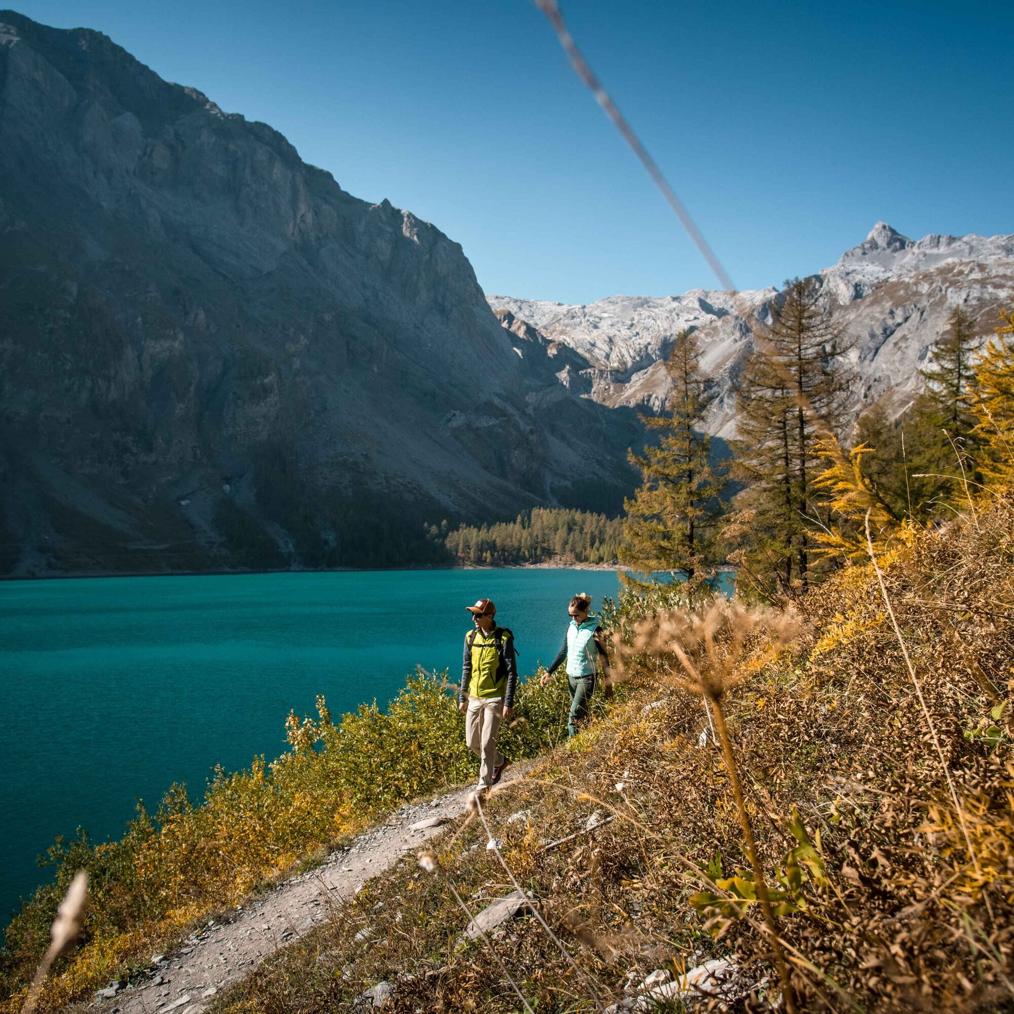
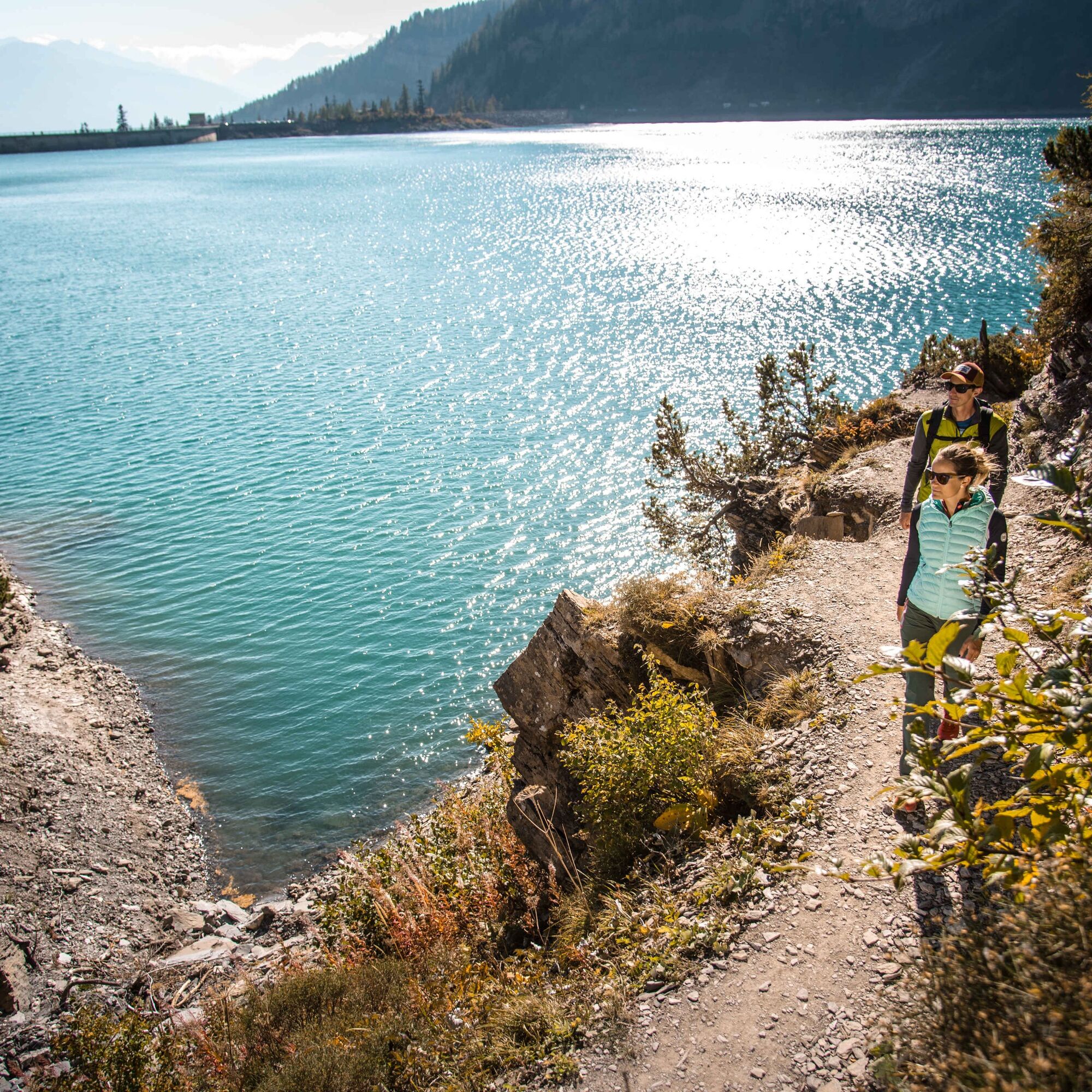
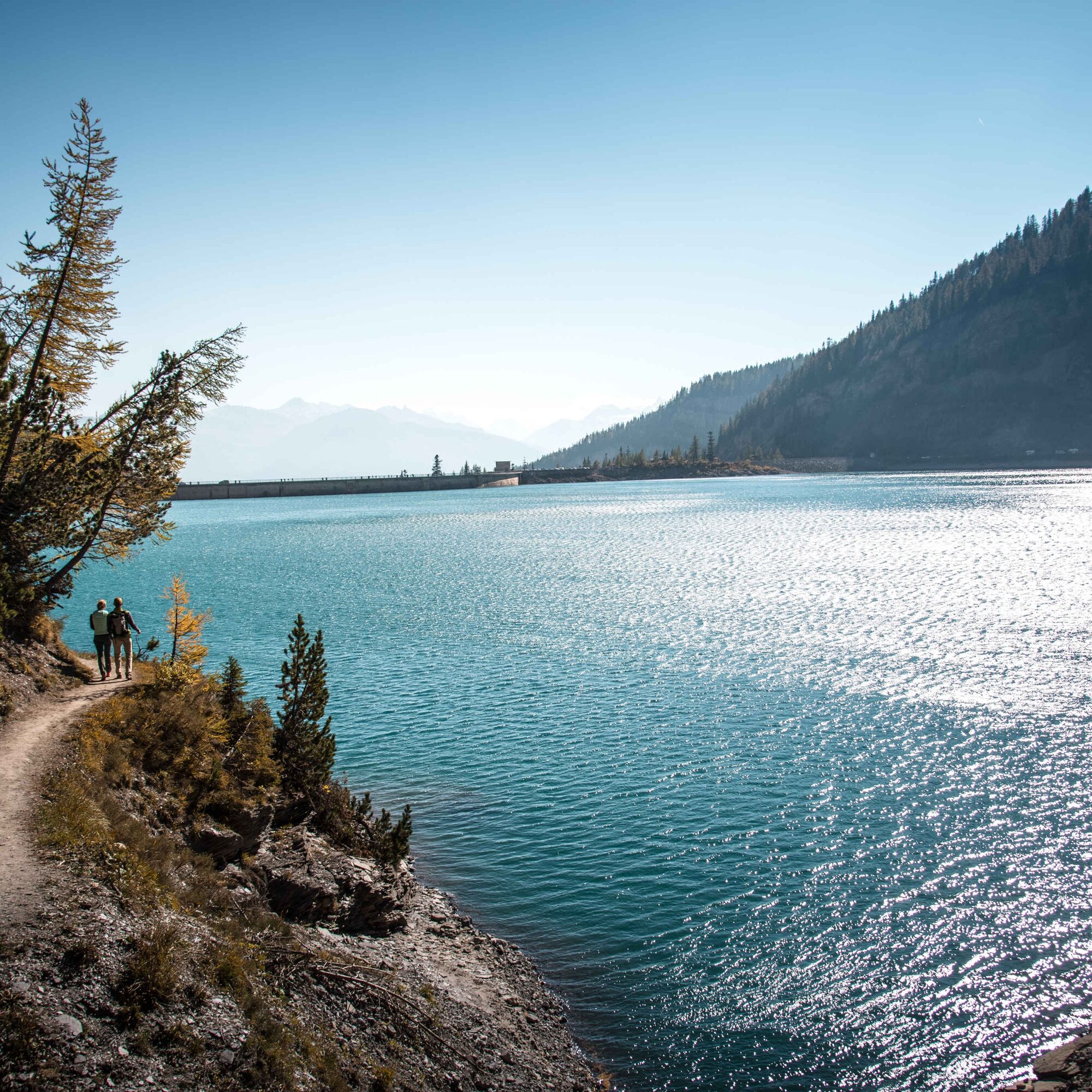
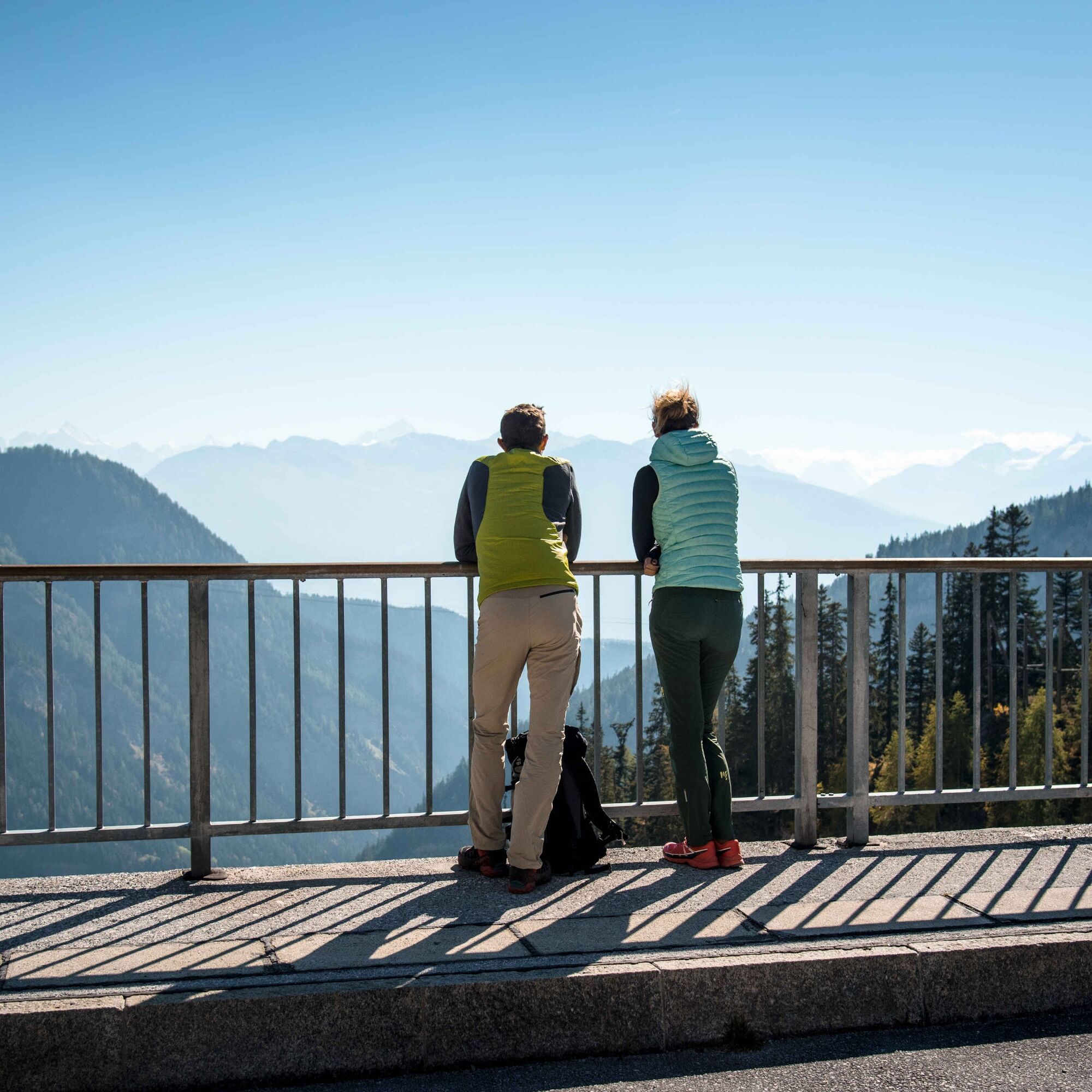
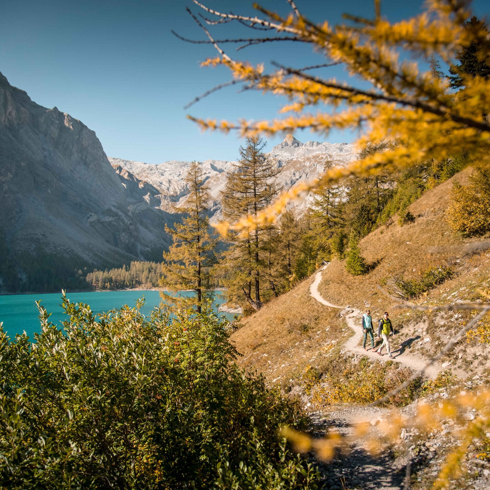
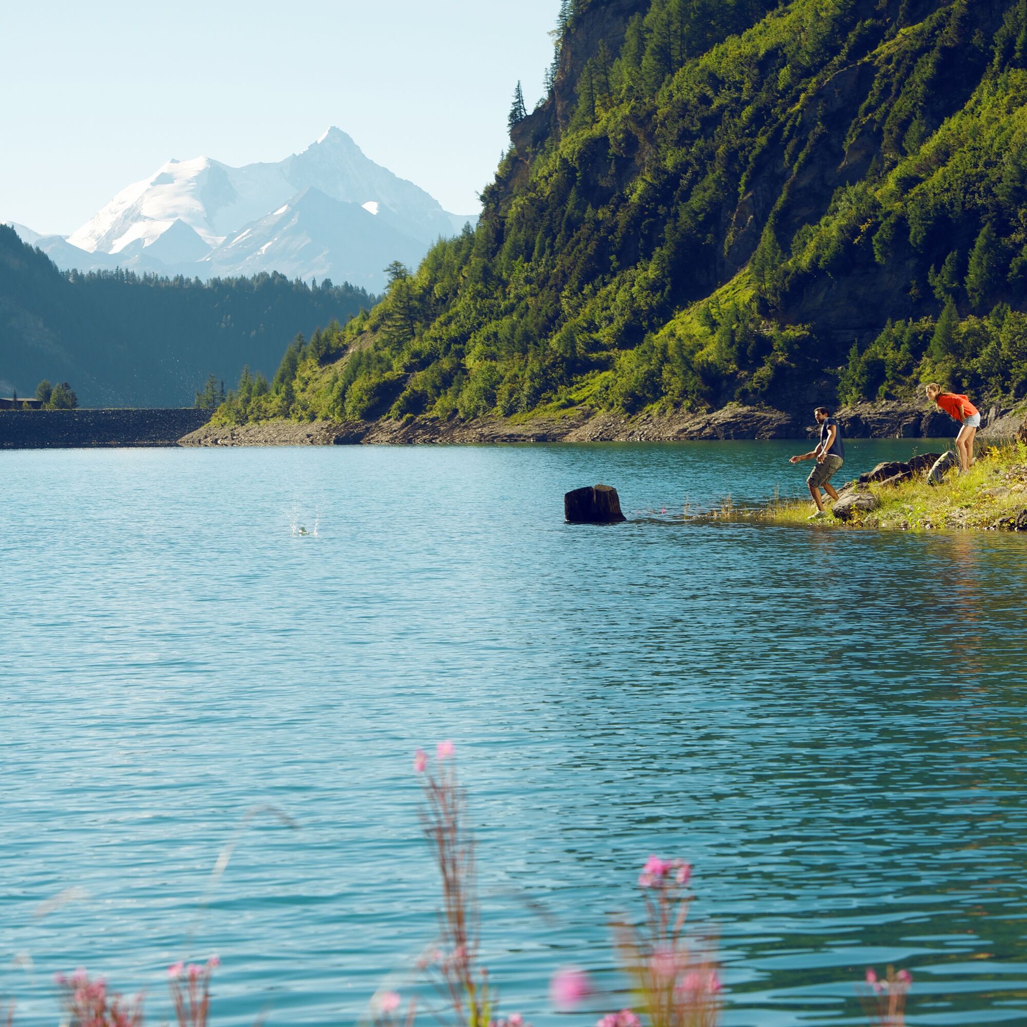
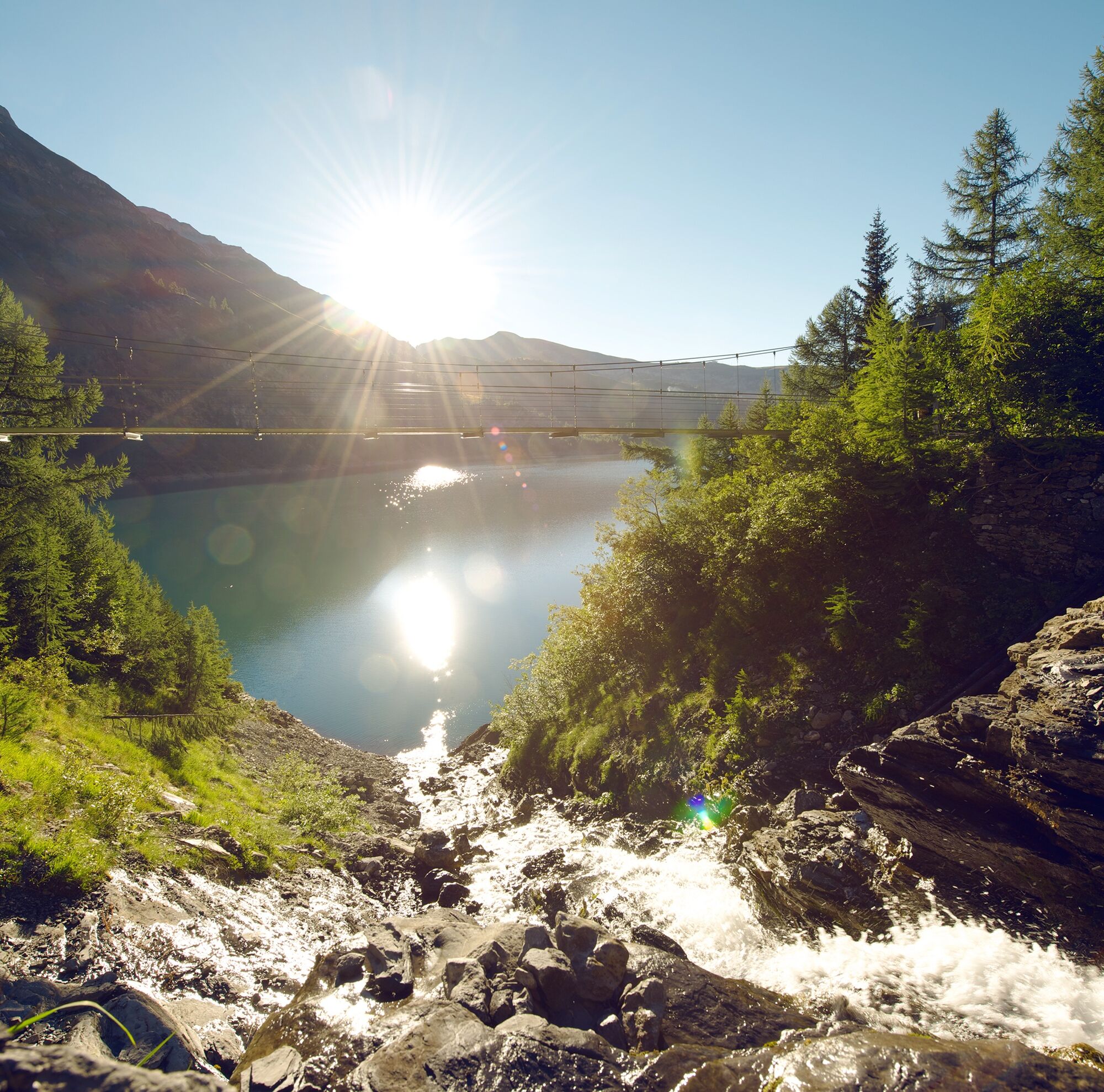
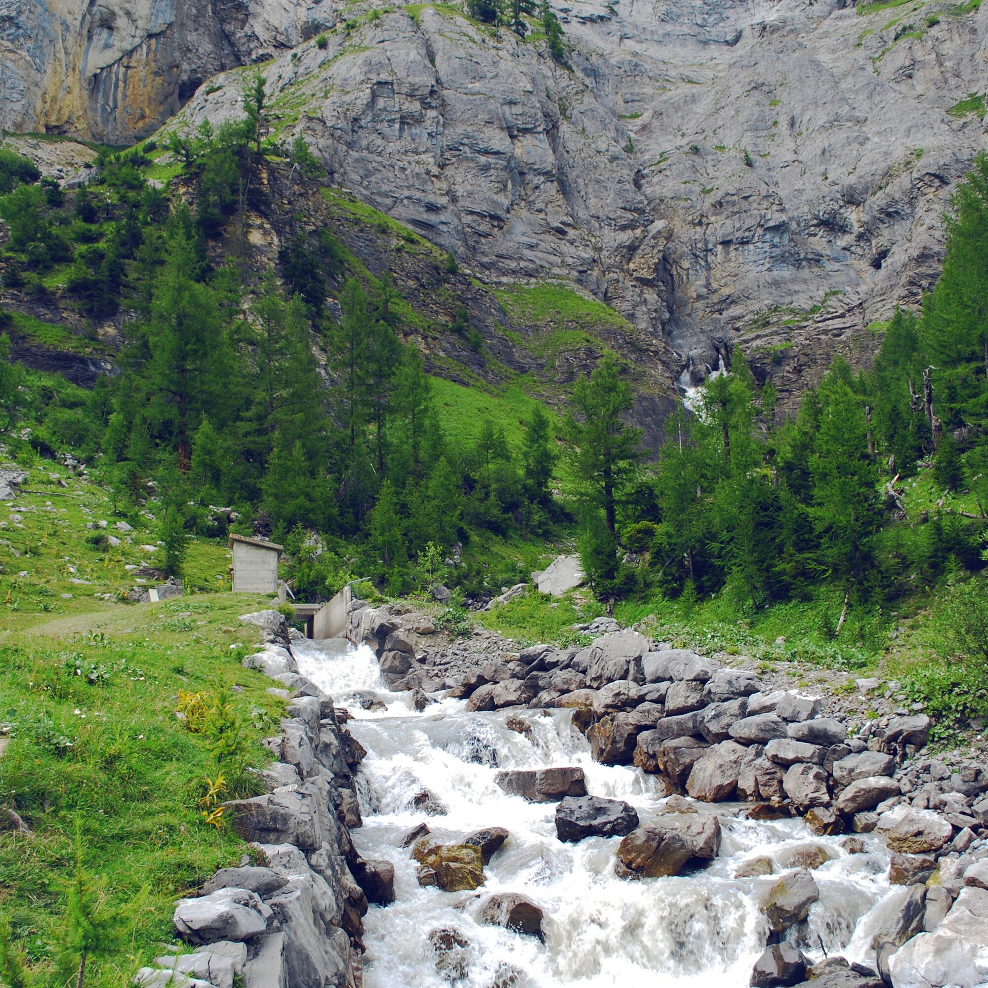

From the starting point at the bus stop by the dam, the circular route leads counterclockwise around the Tseuzier Reservoir. After about 1.2 km, the path rises by around 80 meters in elevation – this is the only major ascent of the hike. The path then leads down to the alpine pastures of Rawyl before returning along the Bisse de Sion and later along the lakeshore back to the dam.
Áno
Áno
We recommend:
Good footwear Weather-dependent clothing: always carry a waterproof vest Head covering Sunscreen Water bottle Picnic Camera Binoculars (optional) Hiking poles (optional) Printout of the hiking path (click "Print" to download)For certain hikes:
SwimsuitThe mountains are a place of joy to share and respect. The mountain world is a place to meet and experience unforgettable moments together – whether by bike or on foot. To allow all users to benefit, it is essential to share this space with respect towards nature and agriculture. Respectful behavior enables everyone to enjoy their leisure activities under the best conditions. Inform yourself about recommendations and rules. Accurately assess your own abilities and fitness. Traveling on various routes is generally at your own risk.
For all hikes:
Carry a map. Download the complete hike description with a large-scale map by clicking "Print" at the top right of the page. Use only marked hiking trails and follow all signs and instructions – for your own safety, to protect grazing animals, and out of respect for wildlife. Close gates after passing through. Be considerate towards other trail users, plants, and animals.For mountain hikes:
Carry additional sunscreen. UV rays at high altitudes can be very strong, even in cloudy weather. Plan your hike carefully: consider the required fitness level of all participants, weather forecasts, and seasonal conditions. Weather conditions in the mountains can change very quickly and without warning. Suitable clothing and sufficient provisions (food and drink) are very important. In unstable weather, it is better to turn back early.For high alpine hikes:
Inform your family about your hiking route. Avoid hiking alone if possible. Do not venture onto glaciers without a mountain guide. Observe warning signs indicating dangers at riverbanks, along waterways below dams and reservoirs: water levels can rise quickly and without warning.Motorway A9, exit 27 (Sion-Est). Follow the signs to Anzère. Leave the main road at the village of St-Romain (sharp left turn) and continue towards "Barrage de Tseuzier."
Regular train connections to Sion, then by post bus to "Anzère, Barrage de Tseuzier." Train and post bus timetables can be found at sbb.ch.
Parking available at the dam.
Further information about the destination can be found here:
AnzèreBe sure to stop in Botyre and visit the entertaining Suonen Museum. The building itself from the 17th century is also absolutely worth seeing.
 Získajte prehľad
Vždy naživo na mieste s viac ako 9 500 webovými kamerami. bergfex Ako používateľ Pro si teraz môžete pozrieť príslušné webové kamery pre mnohé zájazdy v aplikácii zájazdy z. Môžete si tak priamo prezerať aktuálne podmienky.
Získajte prehľad
Vždy naživo na mieste s viac ako 9 500 webovými kamerami. bergfex Ako používateľ Pro si teraz môžete pozrieť príslušné webové kamery pre mnohé zájazdy v aplikácii zájazdy z. Môžete si tak priamo prezerať aktuálne podmienky.
Aktivity počas prehliadky

Obľúbené výlety v okolí
-
4,7
Leukerbad - Gemmipass - Lämmerenhütte
strednáTuristika 9,49 km -
4,0
Grand Bisse de Lens
svetloTuristika 8,73 km -
4,0
Gemmipass - Lämmerenhütte - Rote Totz Lücke - Daubensee - Gemmipass
strednáTuristika 13,7 km -
4,0
Tripon - Brac – Ancien Bisse du Torrent Neuf – St. Marguerite – Torrent Neuf – Prafirmin - St. Germain
svetloTuristika 12,9 km -
Erlebnistipp Sillerenbühl - Hahnenmoos
Turistika 2,52 km -
5,0
Klettersteig Daubenhorn
ťažkéVia ferrata 5,34 km -
4,0
Belvédère via ferrata
strednáVia ferrata 1,81 km -
5,0
Family-friendly Tsittoret bisse
svetloTuristika 7,14 km -
5,0
Wildstrubel Umrundung 4-Tage
strednáTuristika 79,1 km -
Erlebnistipp Bütschi Hahnenmoos - Luegli - Bütschi - Bergläger
Turistika 5,85 km

Turistika a stopovanie


Nenechajte si ujsť ponuky a inšpiráciu na ďalšiu dovolenku
Vaša e-mailová adresa bol pridaný do poštového zoznamu.





