







Lake Walk

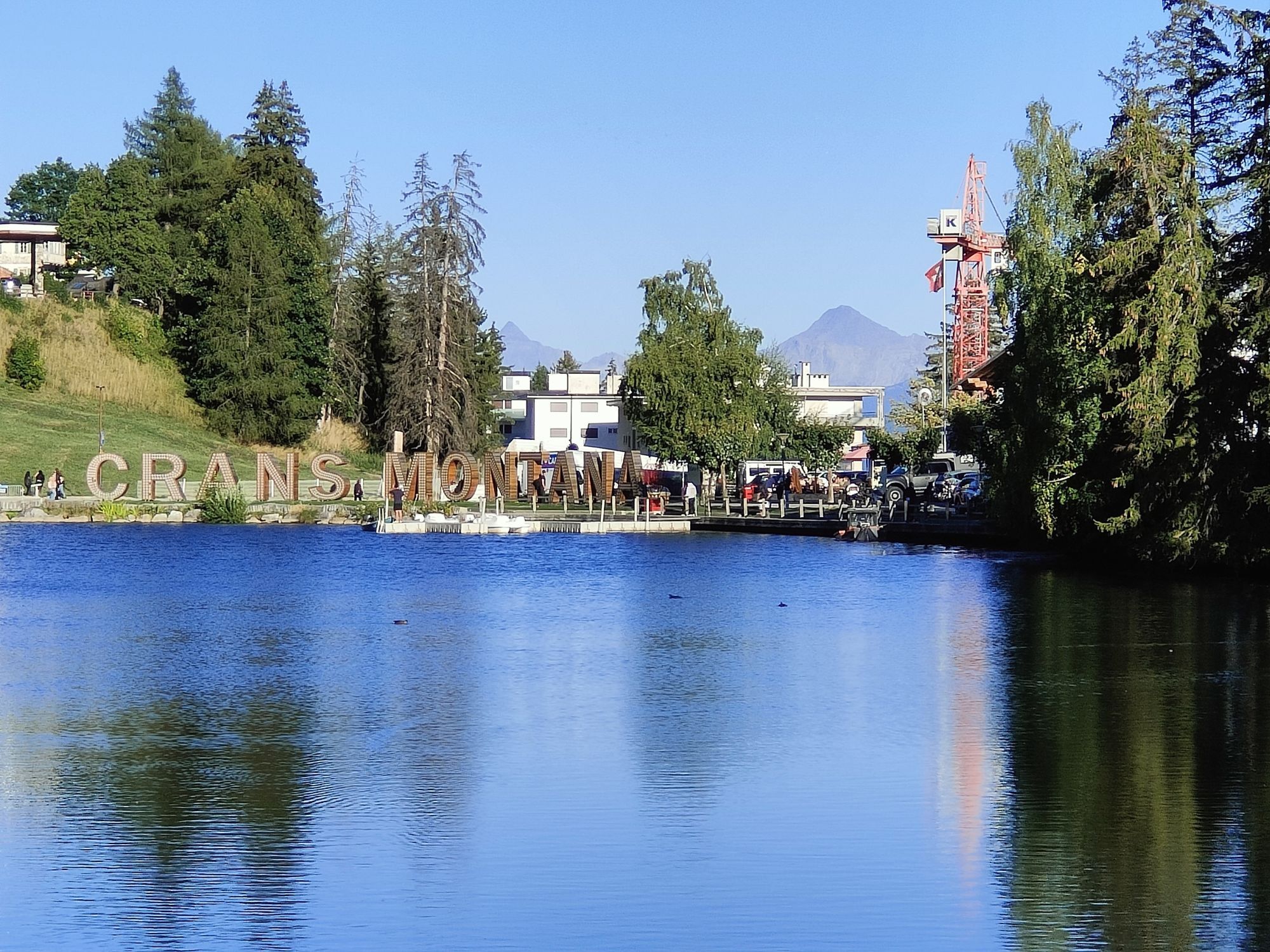
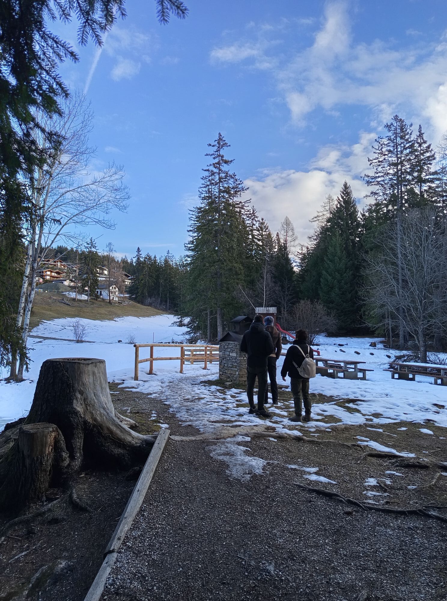
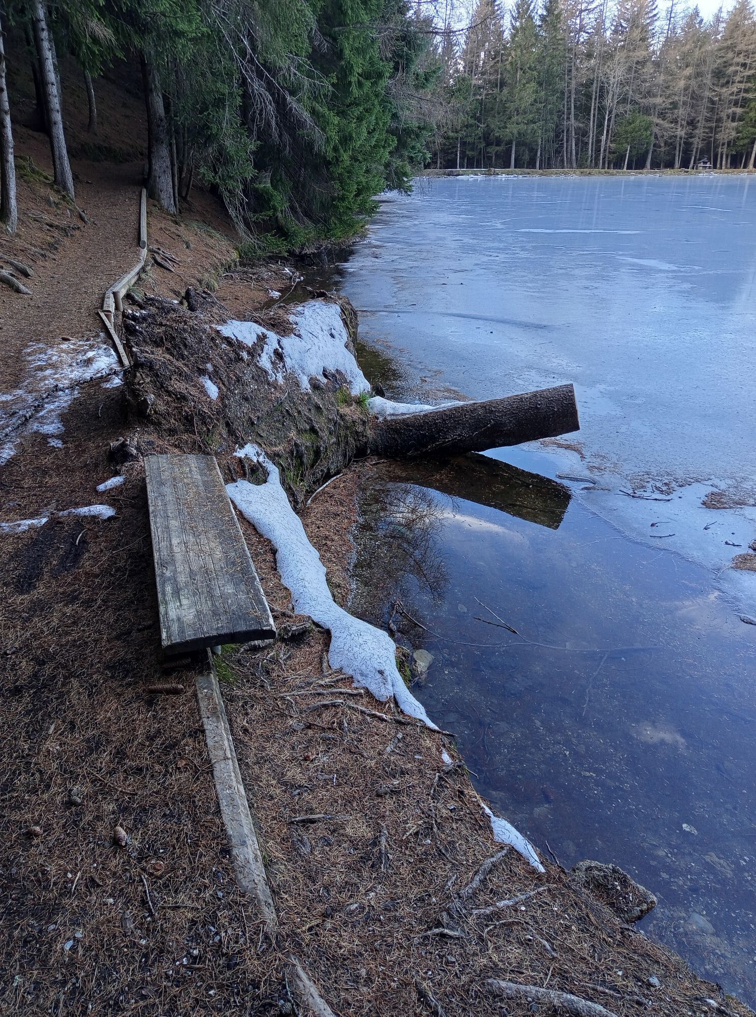
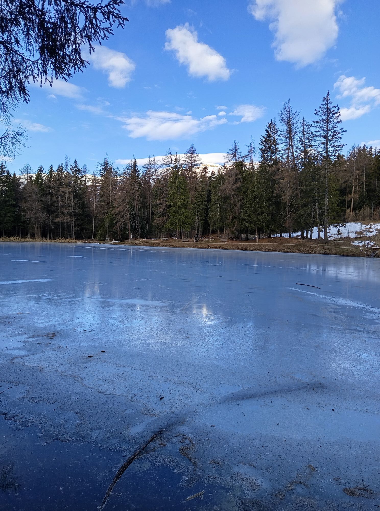
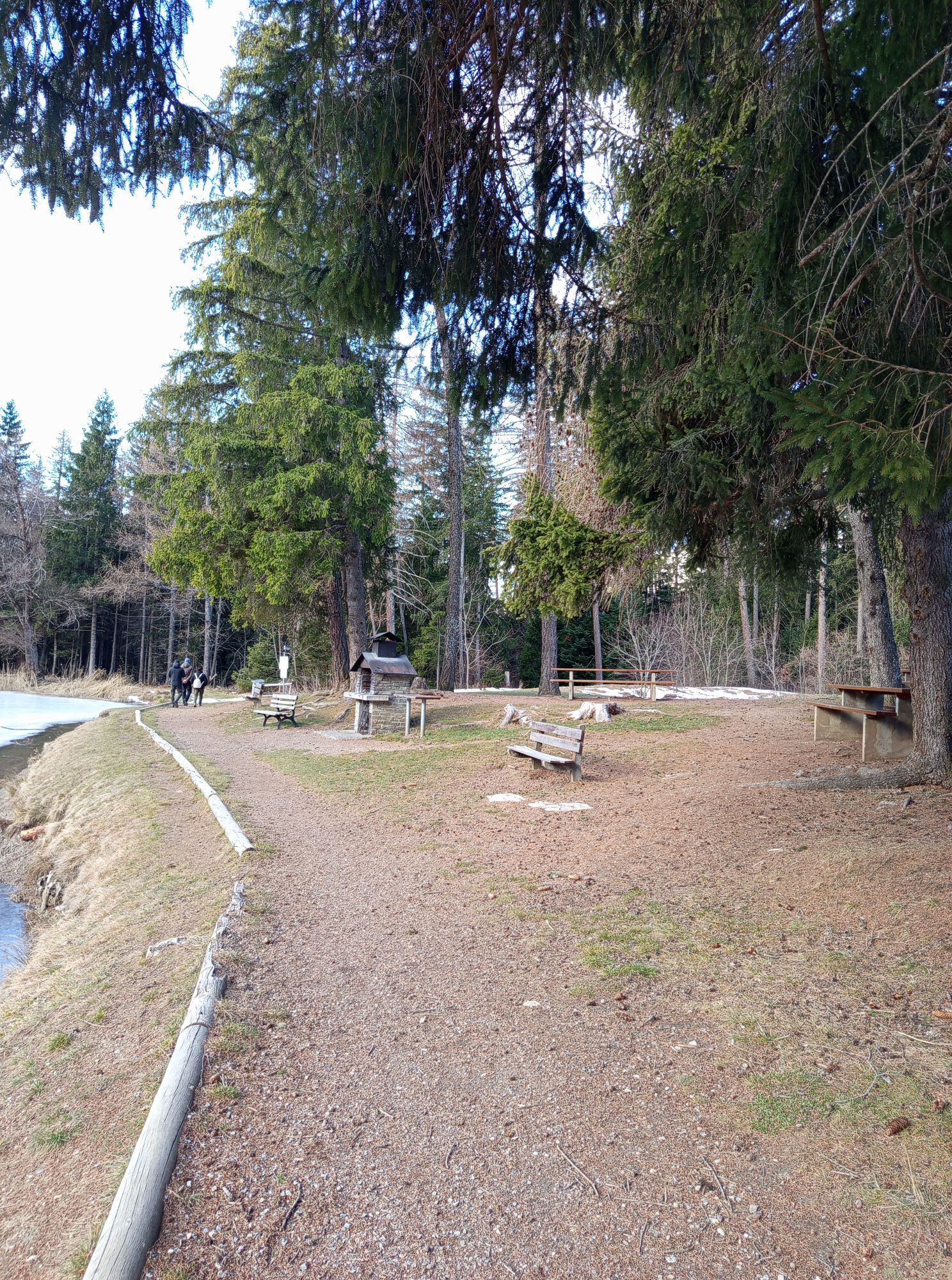
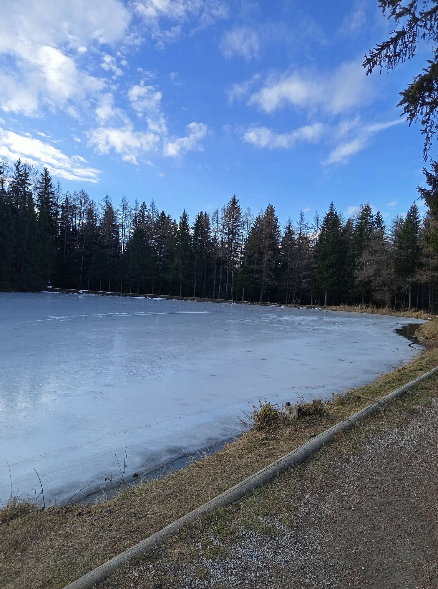
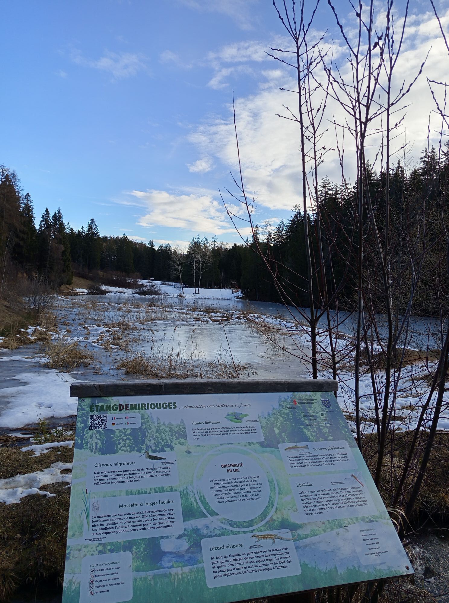
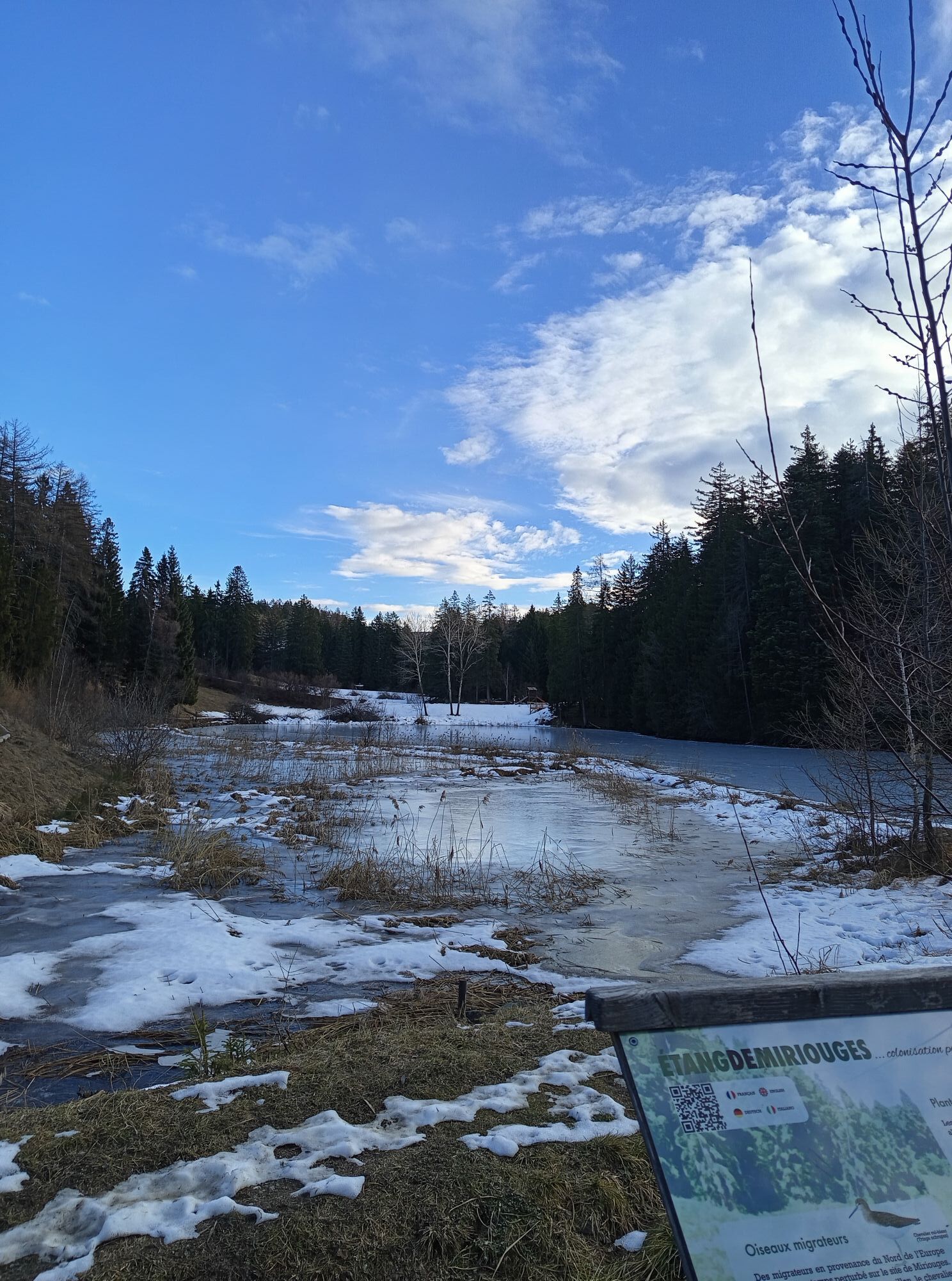
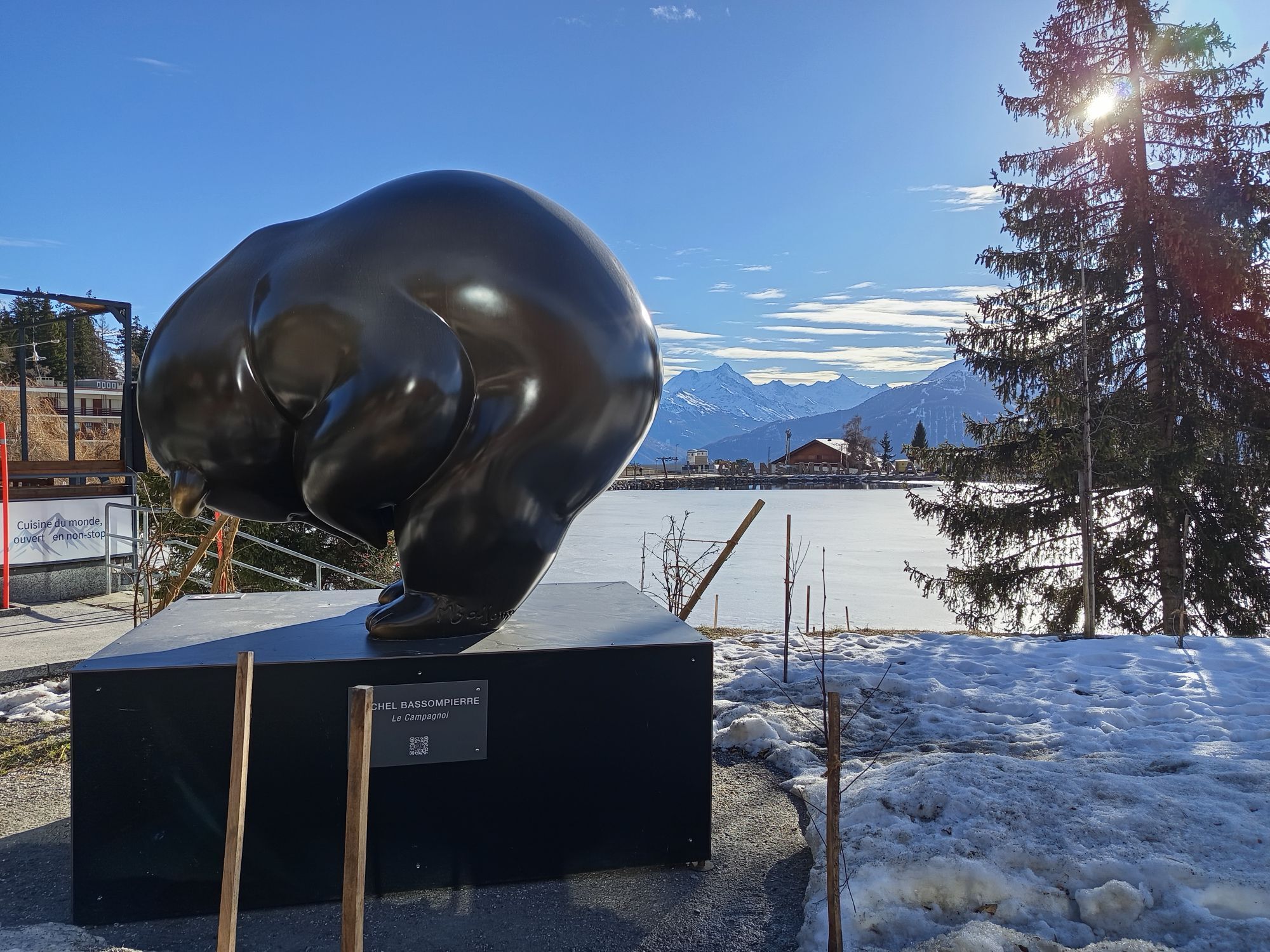
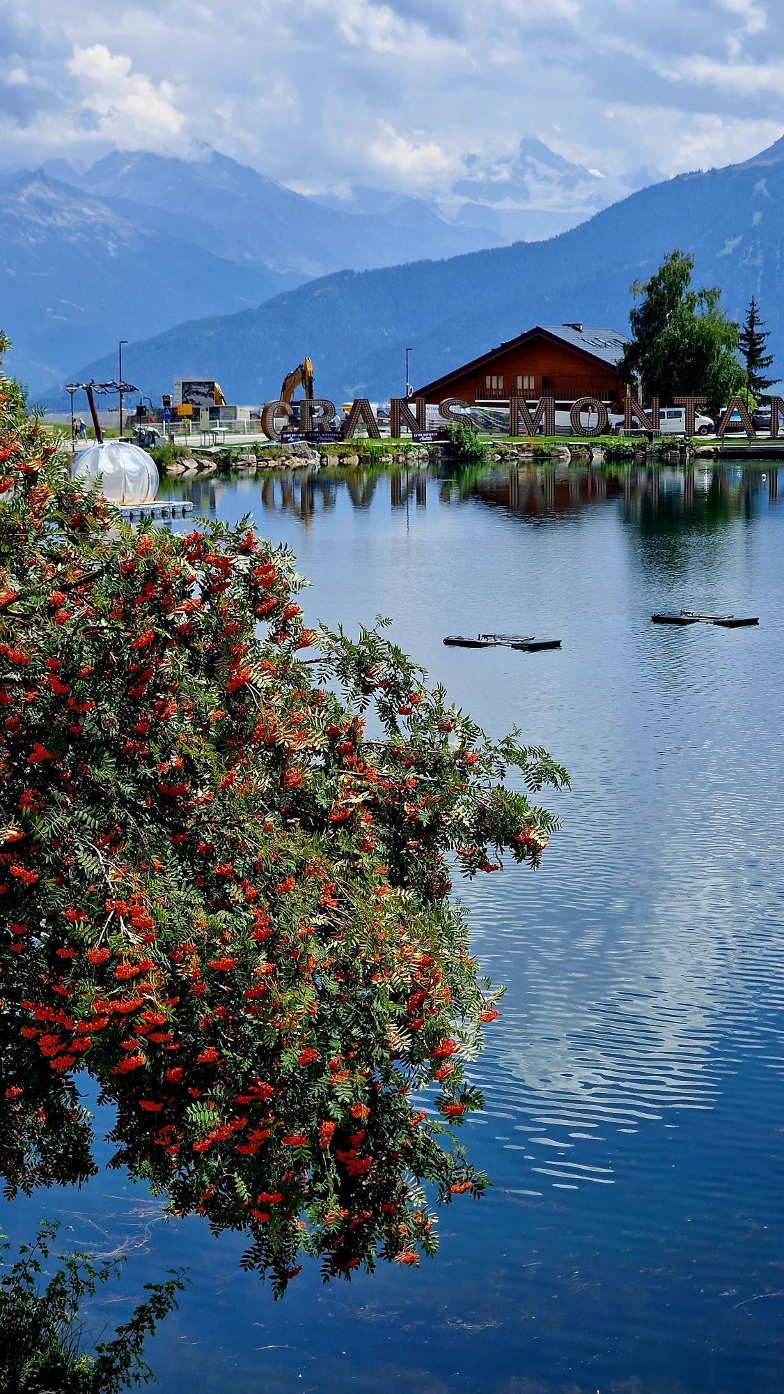
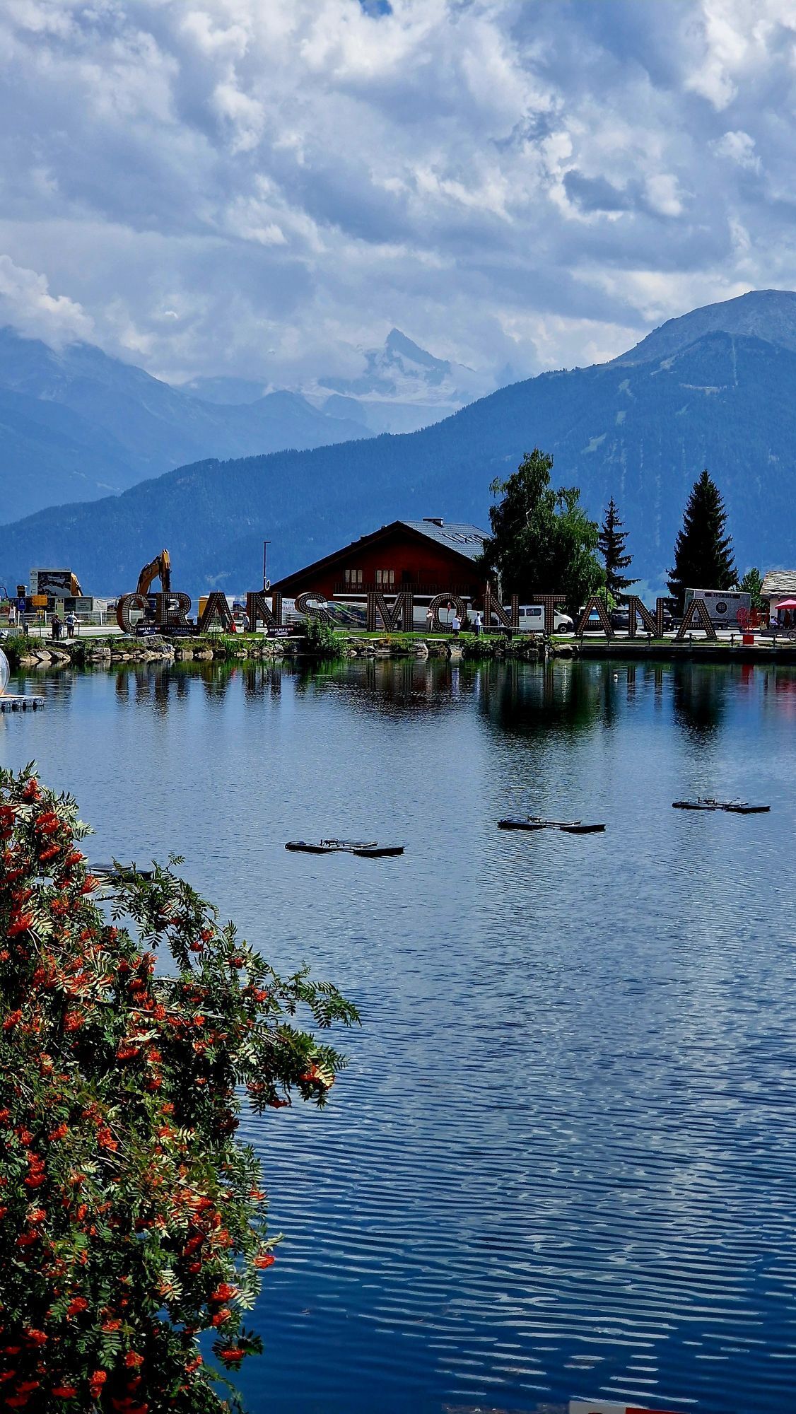
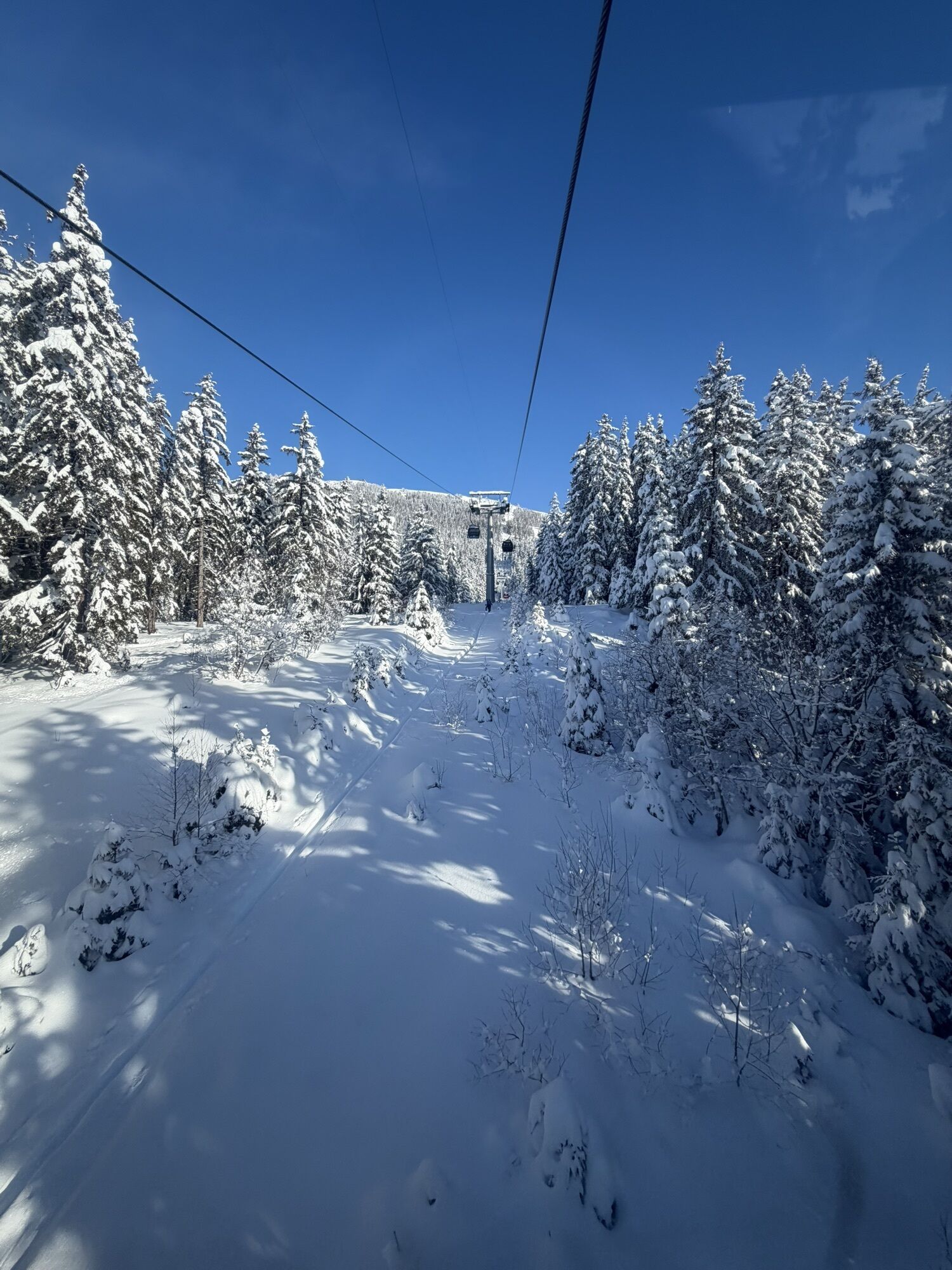
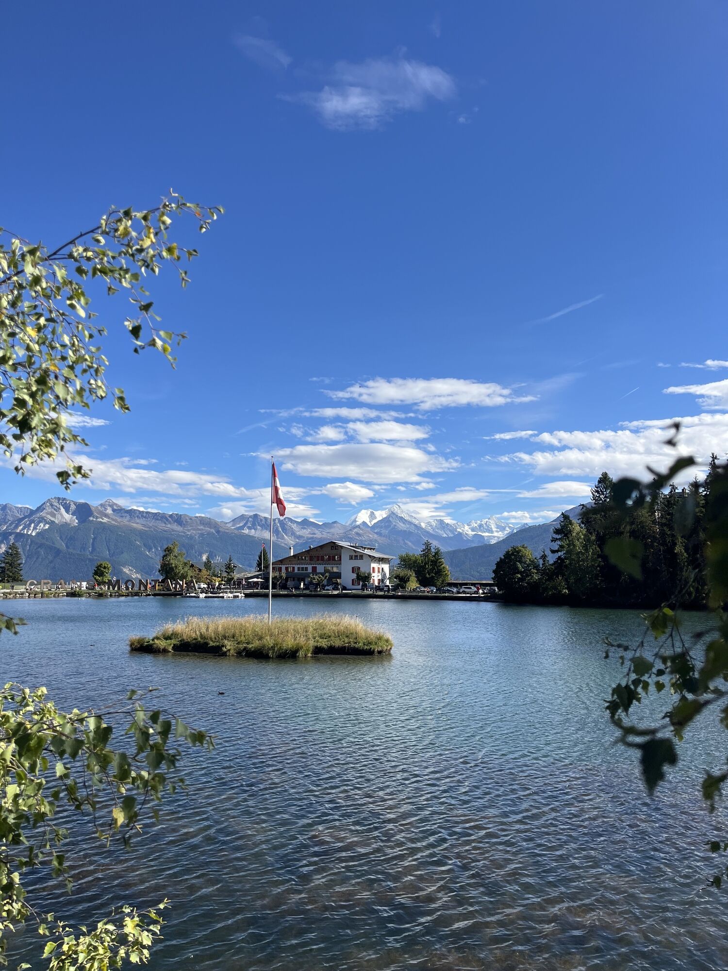
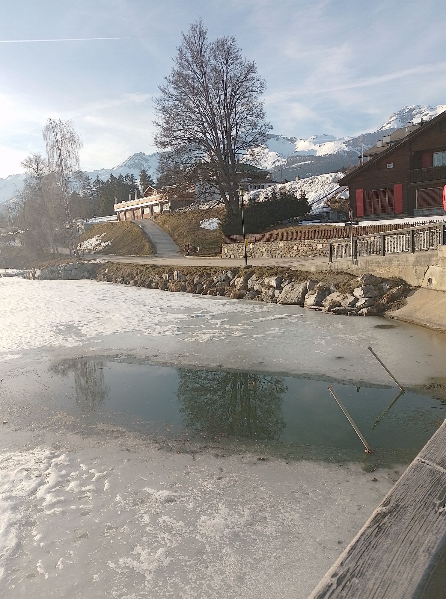
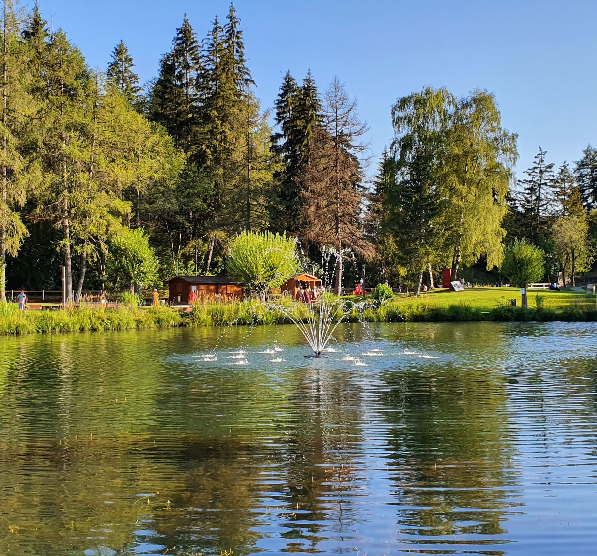
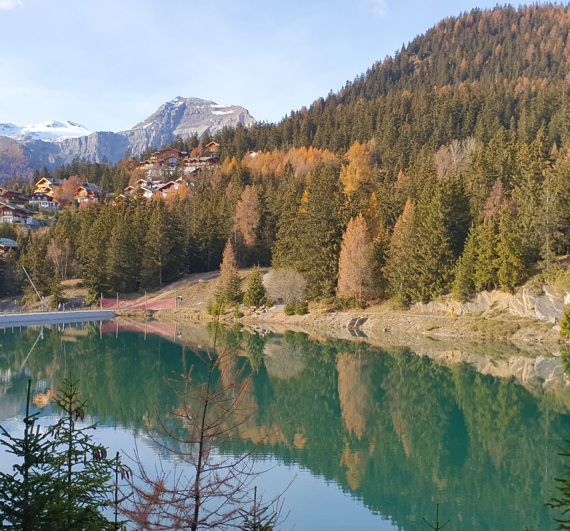
No fewer than nine lakes dot the Crans-Montana region: Etang Long, Lake Icogne, Lake Miriouges, Etang des Briesses, Lake de la Moubra, Etang Blanc, Lake Grenon, Lake d'Ycoor, Lake de Chermignon. This route...
No fewer than nine lakes dot the Crans-Montana region: Etang Long, Lake Icogne, Lake Miriouges, Etang des Briesses, Lake de la Moubra, Etang Blanc, Lake Grenon, Lake d'Ycoor, Lake de Chermignon. This route will allow you to discover its riches.

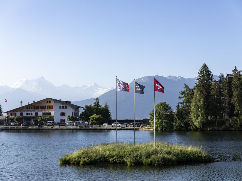
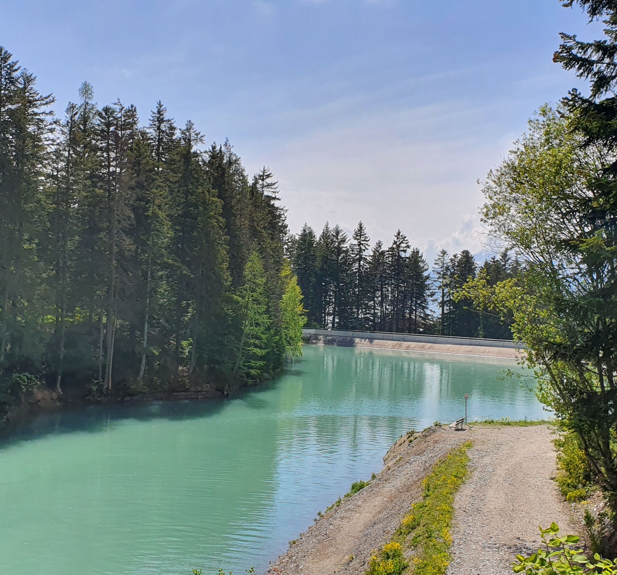
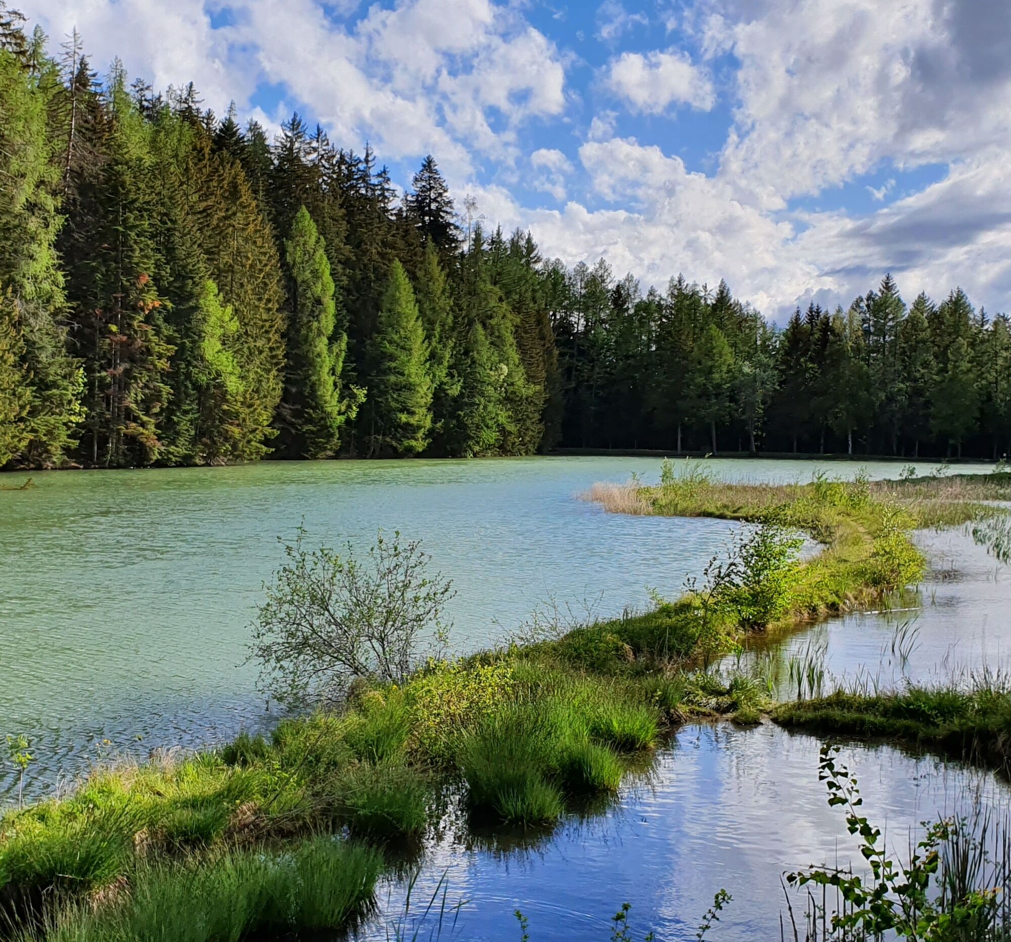
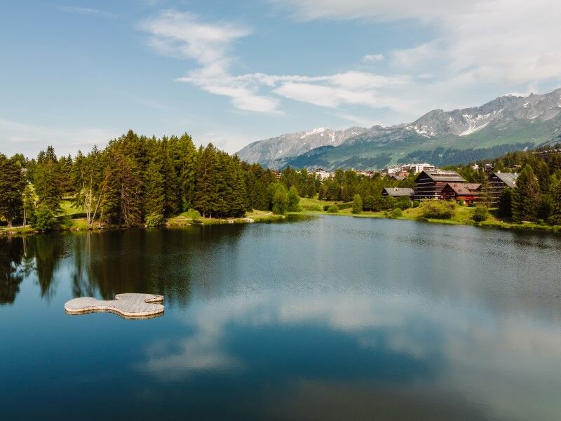
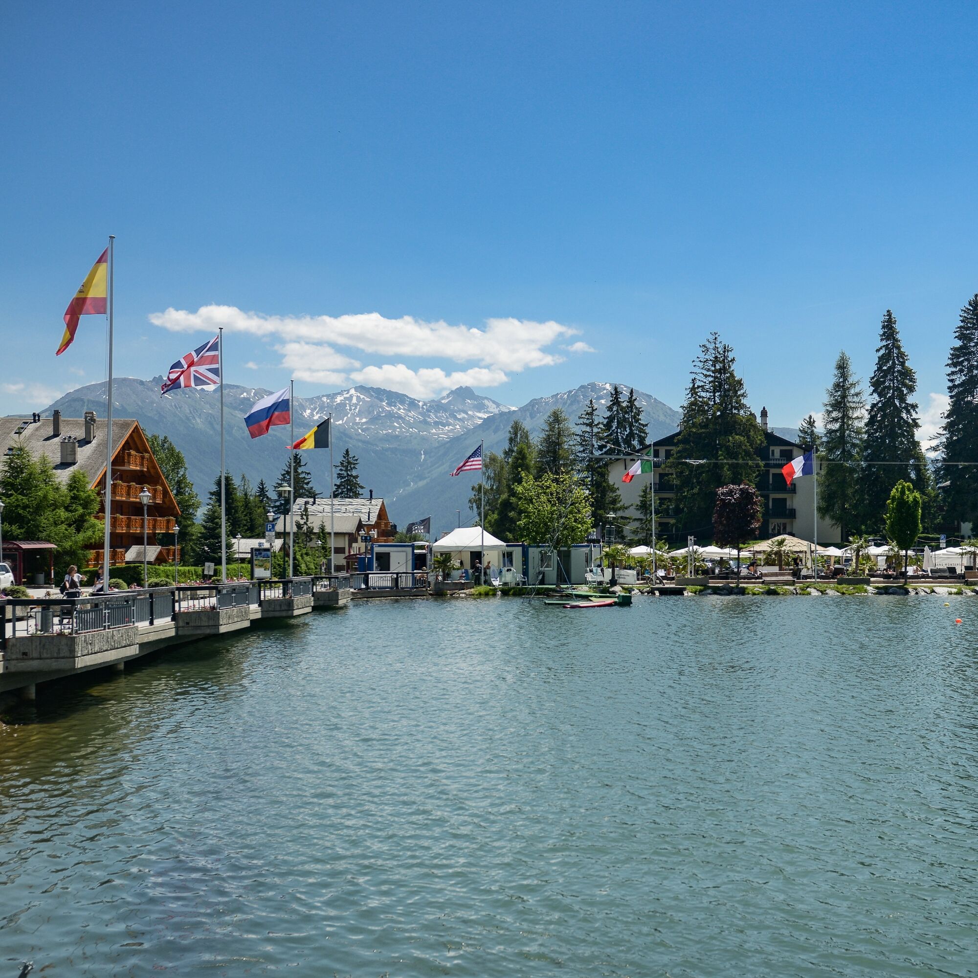
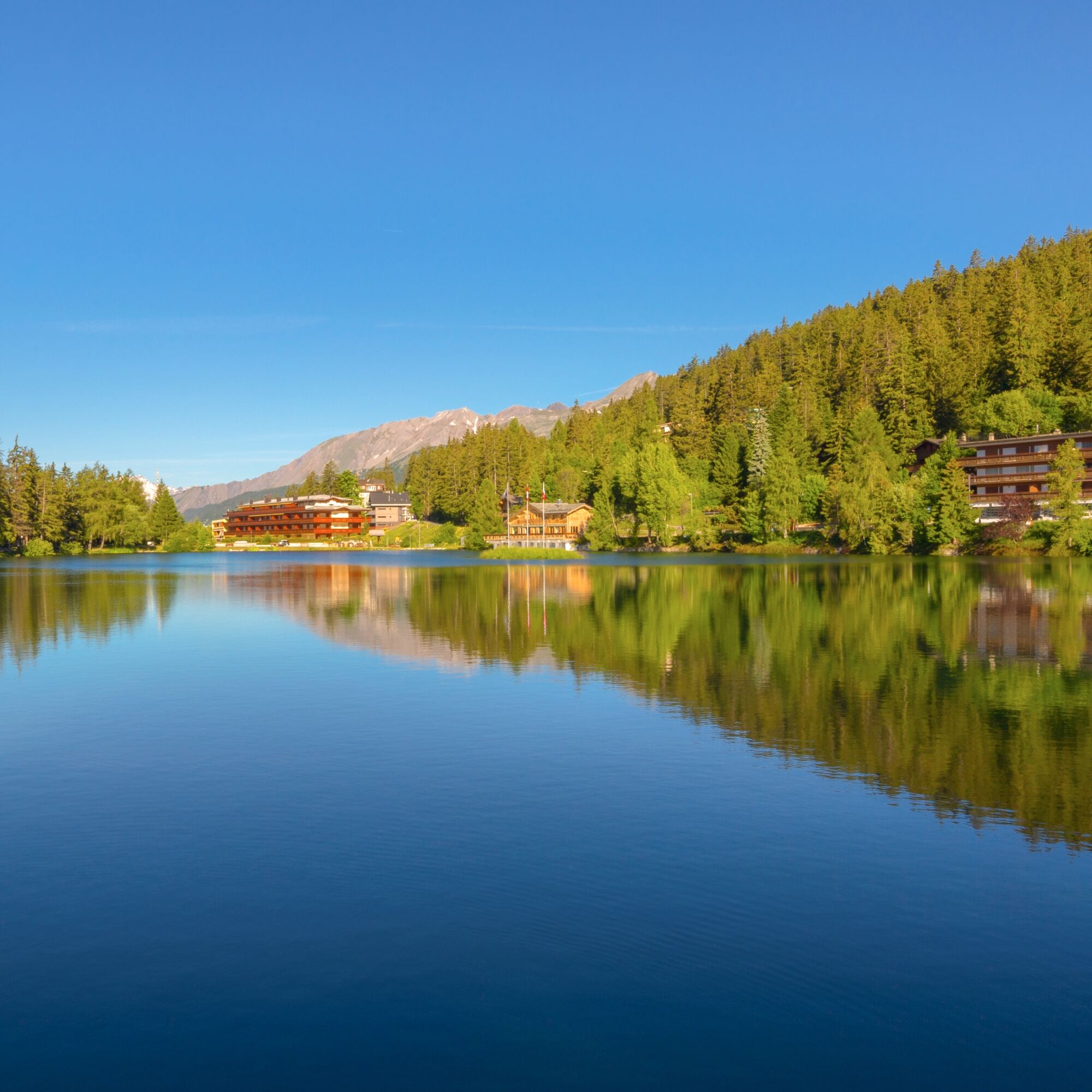

Scandia - le Plaza - Lake Icogne - Lake Miriouges - Etang des Briesses - Lake de la Moubra - Etang Blanc - le Plaza - Lake Grenon - Lake d'Ycoor - Lake de Chermignon - start of the Crans-Cry d'Er cable car - Scandia
Áno
Áno
Good walking shoes.
The weather changes quickly at altitude, plan clothes accordingly.
Follow the marked trails. Please respect the fauna, flora: nature.
Check the weather conditions before your departure.
Golf courses forbidden to pedestrians.
Crans-Montana Tourism & Congress declines all responsibility in case of accident.
To reach Crans-Montana by car, take the A9 motorway exit (Rhône motorway) named "Sierre west". At the motorway exit, turn left and follow the signs indicating "Sierre". At the roundabout, turn right. Continue for 500 meters then at the entrance of Sierre, turn left towards "Crans-Montana". Once arrived in Crans-Montana, follow the signs to reach Etang Long parking. The journey duration is about 20 minutes.
The Crans-Montana resort is accessible from Sierre station with the SMC bus company or the funicular as well as from Sion station with postal buses.
The free shuttles from SMC bus company serve the whole Crans-Montana resort
The closest stop to the start of the hike is: Scandia. This stop is also directly accessible on the SMC Bus line 421 coming from Sierre via Chermignon.
Address: Etang Long Parking, Route Touristique 21, 3963 Crans-Montana
Outdoor parking two minutes walk from the start of the hike
For any other information: https://www.crans-montana.ch/fr/activites/rando?ete
At Lake Moubra and Etang Long, you can swim in summer.
Arriving at the peaceful Lake des Miriouges, you will find places for a family picnic (remember to book here)
Webové kamery z prehliadky

Obľúbené výlety v okolí
-
5,0
Bisse du Ro
svetloTuristika 11,2 km -
4,6
Leukerbad - Gemmipass - Lämmerenhütte
strednáTuristika 9,49 km -
4,2
Grand Bisse de Lens
svetloTuristika 8,73 km -
4,8
Leukerbad - Gemmipass
ťažkéTuristika 4,73 km -
4,0
Gemmipass - Lämmerenhütte - Rote Totz Lücke - Daubensee - Gemmipass
strednáTuristika 13,7 km -
5,0
Bella-Tola
strednáVysoké turné 6,72 km -
4,0
Tripon - Brac – Ancien Bisse du Torrent Neuf – St. Marguerite – Torrent Neuf – Prafirmin - St. Germain
svetloTuristika 12,9 km -
5,0
Klettersteig Daubenhorn
ťažkéVia ferrata 5,34 km -
5,0
Grand bisse d’Ayent
strednáTuristika 11,7 km -
5,0
Family-friendly Tsittoret bisse
svetloTuristika 7,14 km

Turistika a stopovanie


Nenechajte si ujsť ponuky a inšpiráciu na ďalšiu dovolenku
Vaša e-mailová adresa bol pridaný do poštového zoznamu.





