







Route des Diligences
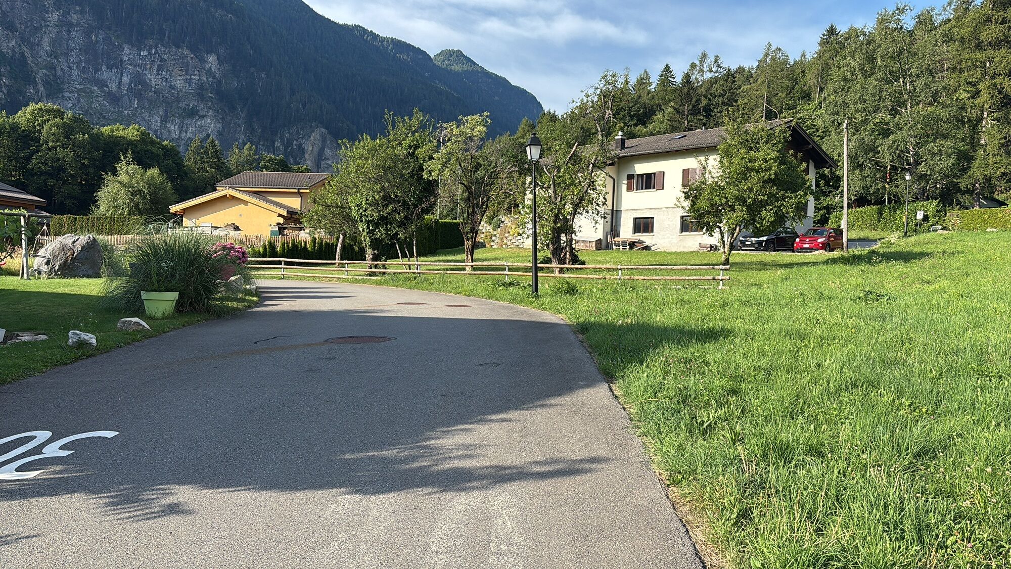
The Trient Valley was one of the first regions of the Swiss Alps to receive tourists thanks to the stagecoach route. The connecting route was built between 1855 and 1861 and made the valley famous. The...
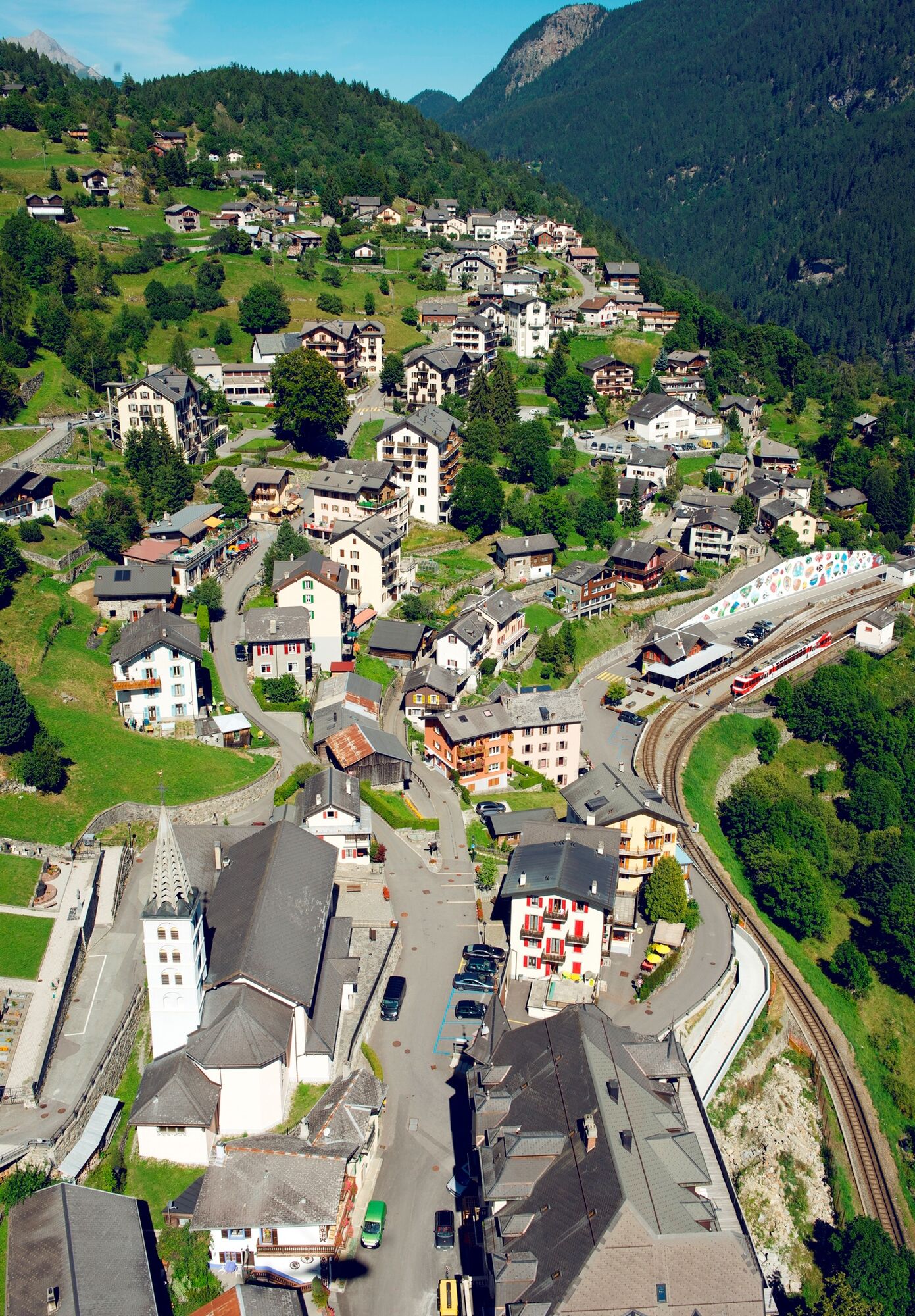
The Trient Valley was one of the first regions of the Swiss Alps to receive tourists thanks to the stagecoach route. The connecting route was built between 1855 and 1861 and made the valley famous. The picturesque landscape and elegant villages like Finhaut with its Belle Epoque hotels that still exist today were able to attract international guests early on.
The route with its 51 hairpin bends is a varied hike especially for families. The path follows the route of the Mont-Blanc Express and offers numerous boarding and alighting options, so the length of the hike can be adapted to your own needs.
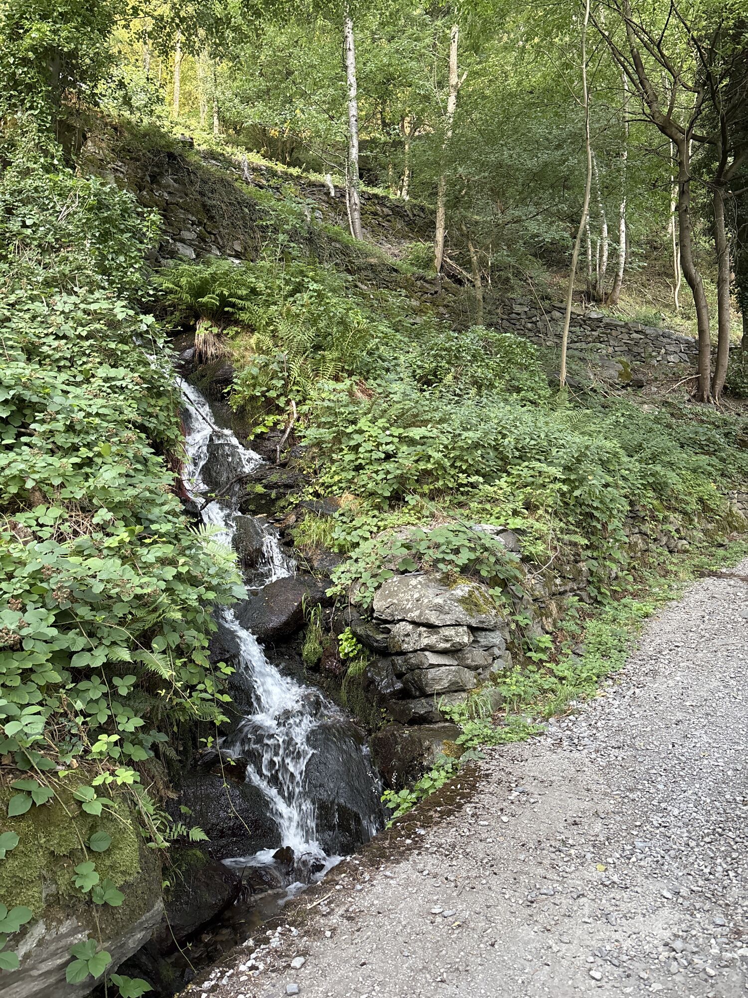
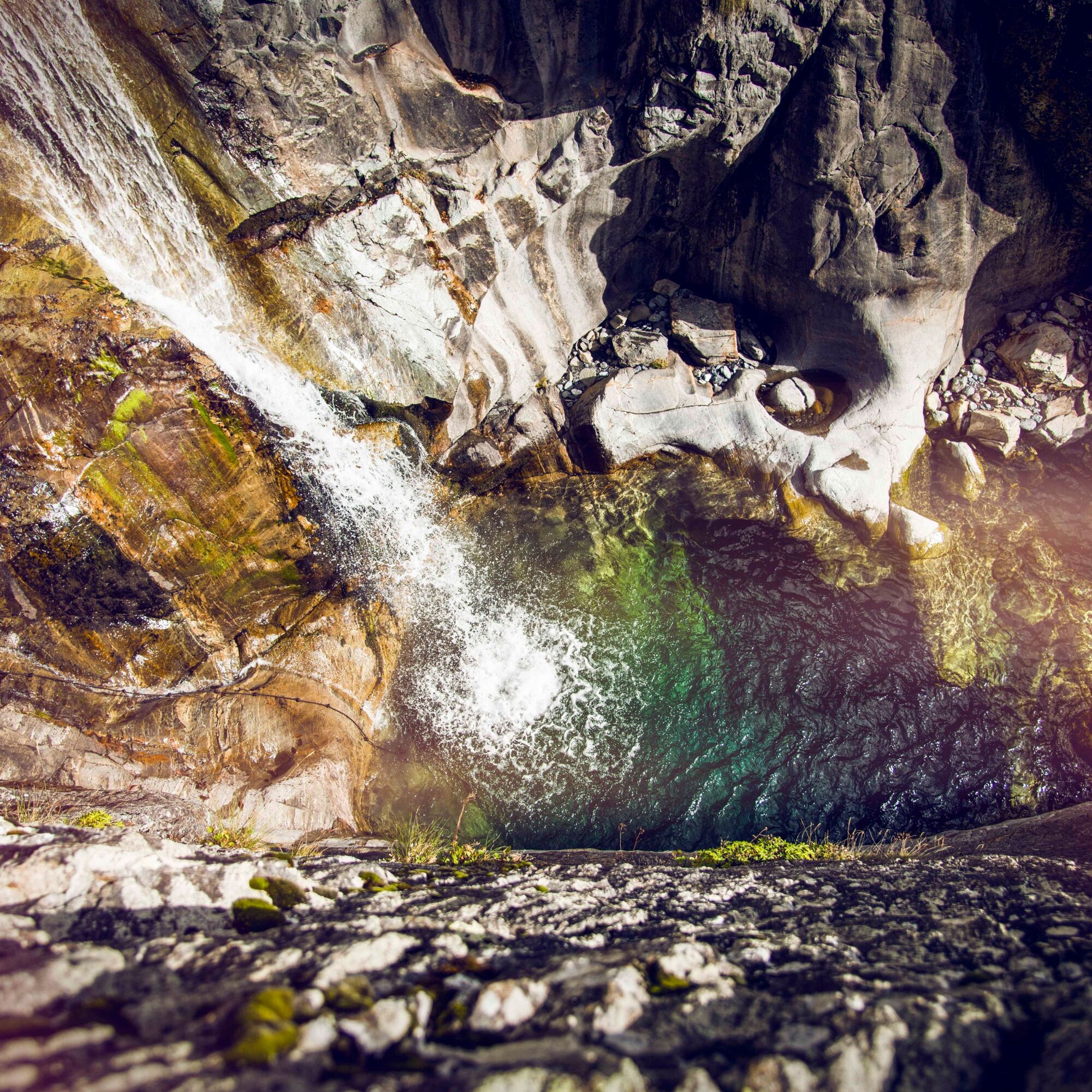
Highlights of the route are the breathtaking views of deep gorges (especially in the upper part of the valley not accessible by car) and the village of Le Trétien with its historic wooden chalets.
Families should definitely plan a stop in Les Marécottes to visit Europe's highest zoo. The zoo is home to black bears, wolves, lynxes, marmots, chamois, ibex, and other animals native to the alpine region. The adjacent swimming pool, naturally built into the rock formations (70 meters long), reaches temperatures of 24–27 degrees Celsius in summer due to sunlight.
Along the route is the village of Salvan with its museum dedicated to the famous guest Guglielmo Marconi. During his stay in summer 1895, he was able to send a message using electromagnetic radiation over a distance of more than one kilometer: wireless was born.
The hike is part of the historic and cultural ViaCook, which follows the first group trip organized in 1863 by holiday pioneer Thomas Cook through Switzerland.
Highlights of the hike:
Dramatic landscapes with deep gorges as well as Belle Epoque hotels in Finhaut. The alpine zoo and the swimming pool built into the rock in Les Marécottes. Numerous hairpin bends (17 at the beginning of the hike, 37 at the end)

The travel route is clearly marked with "ViaCook/Route des diligences".
We recommend:
Good footwear Weather-dependent clothing: always carry a waterproof vest Headgear Sunscreen Water bottle Picnic Camera Binoculars (optional) Hiking poles (optional) Printout of the hiking trail (click "Print" to download)For certain hikes:
SwimsuitUse of the hiking trails and information on this website is at your own risk. Local conditions may cause changes to the route. Valais/Wallis Promotion assumes no responsibility for the accuracy and completeness of the information on this website. Assess your own abilities and fitness well. Using the various routes is fundamentally at your own responsibility.
For all hikes:
Carry a map with you. Download the complete description of the hiking trail with a large-scale map by clicking "Print" at the top right of the page. Use only marked hiking trails and follow all signs and instructions - for your own safety, to protect grazing animals, and out of respect for wildlife. Close gates after passing through. Behave considerately towards other path users, plants, and animals.For mountain hikes:
Take additional sunscreen with you. UV rays at high altitude can be very strong, even in cloudy weather. Plan your hike carefully: consider the required fitness level of all participants, weather forecasts, and seasonal factors. Weather conditions in the mountains can change very quickly and without warning. Appropriate clothing and sufficient provisions (food and drink) are very important. In case of unstable weather, it is better to turn back early.For high alpine hikes:
Inform your family about your hiking route. If possible, avoid being alone. Do not go on glaciers without a mountain guide. Observe warning signs indicating dangers on river banks, along watercourses below dams and reservoirs: water levels can rise quickly and without warning.Motorway A9, exit 20 (St-Maurice) or coming from the east, exit 21 (Martigny-Fully). Follow the signs to Vernayaz.
For travel by car, it is recommended to leave your car at the starting point and return by train from Finhaut.
Train from Vernayaz. At the end of the hike, take the "Mont-Blanc Express" from Finhaut. Train and post bus timetables can be found at sbb.ch.
Parking is available at the station in Vernayaz.
More information about the destination:
Trient ValleyPlan a stop at the Marécottes Zoo and the beautiful swimming pool right next door. The zoo is home to numerous animals native to the Alps.
Získajte prehľad
Vždy naživo na mieste s viac ako 9 500 webovými kamerami. bergfex Ako používateľ Pro si teraz môžete pozrieť príslušné webové kamery pre mnohé zájazdy v aplikácii zájazdy z. Môžete si tak priamo prezerať aktuálne podmienky.
Obľúbené výlety v okolí
-
5,0
Sentier de Salanfe
strednáTuristika 12,8 km -
5,0
Huts of Orny and Trient
ťažkéTuristika 13,4 km -
3,5
Lac d'Emosson - Gorge de la Veudale - Col de la Terrasse - Lac du Vieux Emosson zurück nach Lac d'Emosson
strednáTuristika 14,3 km -
5,0
Circular hike Roc Coupé – Bonavau – Champéry
strednáTuristika 12,1 km -
Tour du Grand Chavalard
strednáTuristika 14,9 km -
5,0
Tour de La Seya hike
strednáTuristika 8,09 km -
Via Farinetta
ťažkéVia ferrata 6,41 km -
4,5
Galerie Défago
svetloTuristika 8,81 km -
5,0
Champéry - Sous Scex
Turistika 2,41 km -
4,5
Vineyard terrace hike in Martigny
svetloTuristika 6,36 km
Turistika a stopovanie


Nenechajte si ujsť ponuky a inšpiráciu na ďalšiu dovolenku
Vaša e-mailová adresa bol pridaný do poštového zoznamu.





