© Unbekannt - JB Bieuville
© Champéry Tourisme

© Unbekannt - JB Bieuville
© Unbekannt - JB Bieuville
© Valais/Wallis Promotion - David Carlier

- Stručný popis
-
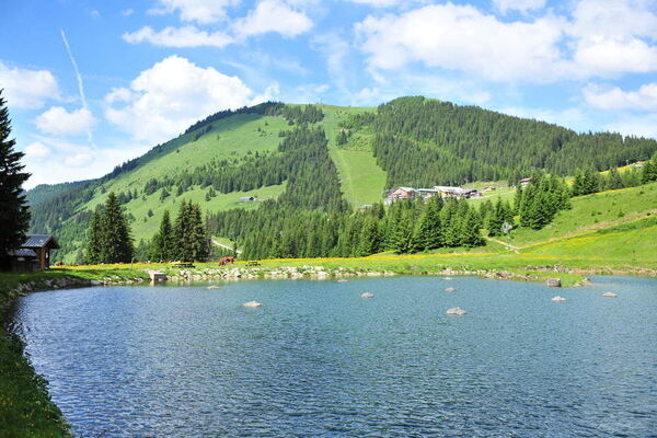
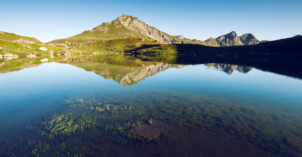
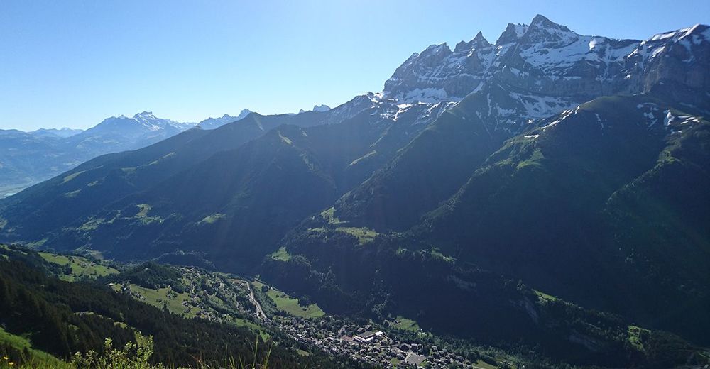
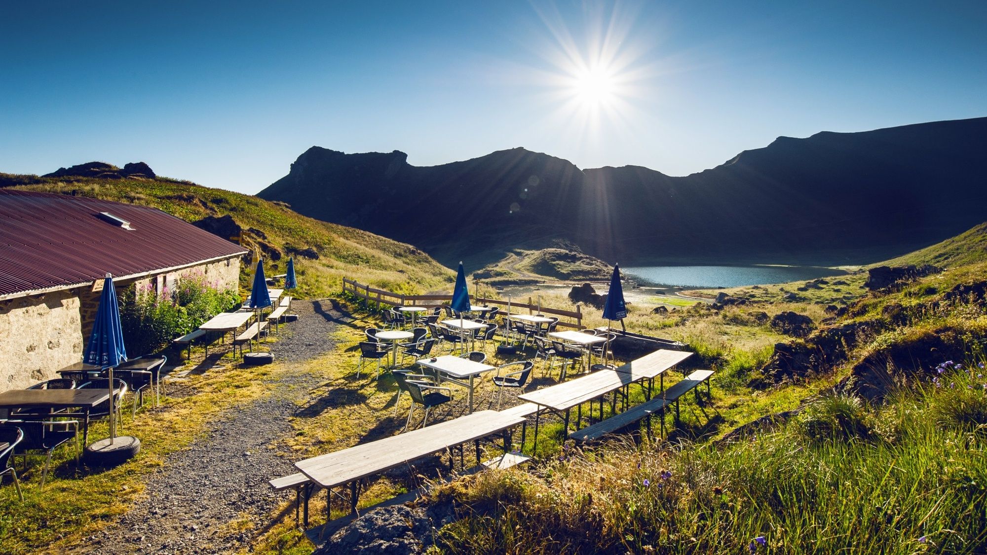
Panoramic hike to the idyllic Lac Vert («Green Lake») near the mountain pass that gave this international holiday region its name: the Portes du Soleil.
- Obtiažnosť
-
ťažká
- Hodnotenie
-
- Trasa
-
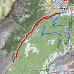
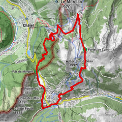
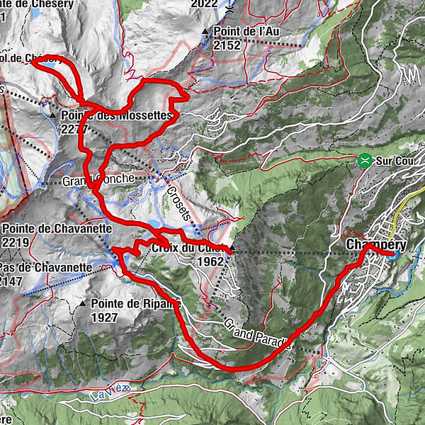
La Croix de CuletLéchereuse (1.810 m)0,9 kmRefuge de Chésery5,0 kmGueilly7,6 kmPauvre Conche (2.277 m)12,3 kmLéchereuse (1.620 m)12,6 kmChampéry (1.050 m)17,0 kmChampéry (1.037 m)17,2 km
- Najlepšia sezóna (ročné obdobie)
-
janfebmaraprmájjúnjúlaugsepoktnovdec
- Najvyšší bod
- 2.091 m
- Cieľová destinácia
-
Champéry, railway station
- Profil nadmorskej výšky
-
 © outdooractive.com


-

-
AutorPrehliadka Hike to the Lac Vert (Chésery) používa outdooractive.com na stránke ..
GPS Downloads


Všeobecné informácie
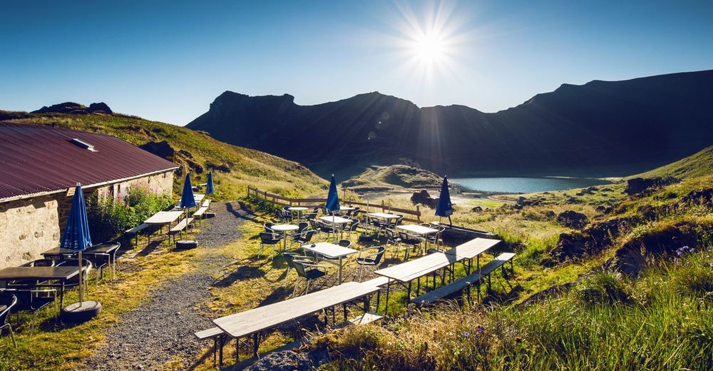
Zastávka s občerstvením
Flora
S výhľadmi
Ďalšie prehliadky v regiónoch