


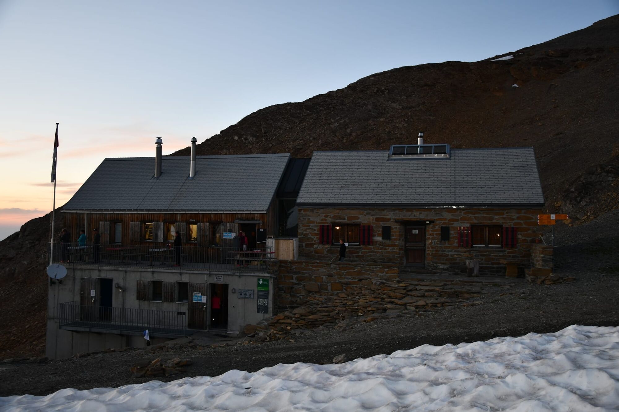
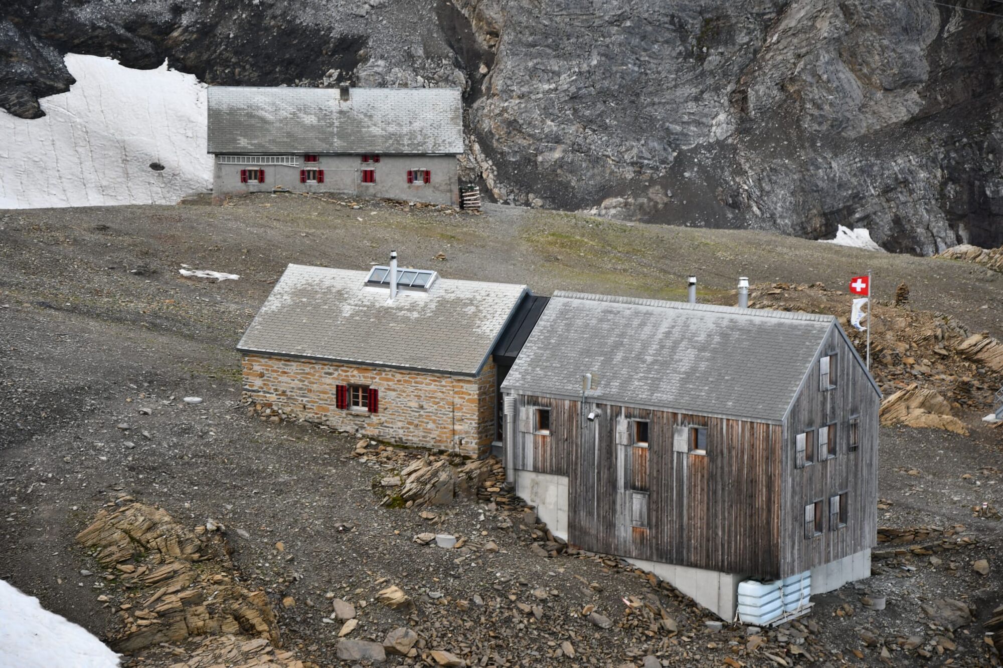
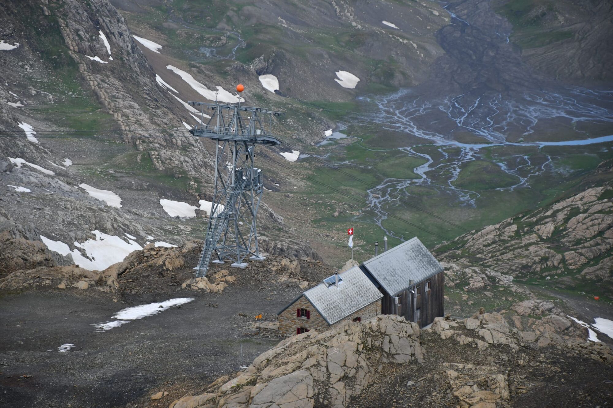
Wildstrubel hut, Tseuzier dam
Departing from the Violettes, the hiker ascends by gondola to the Plaine Morte glacier. This very beautiful walk, passing through the Weisshornlücke, allows you to admire the magnificent landscape of the...
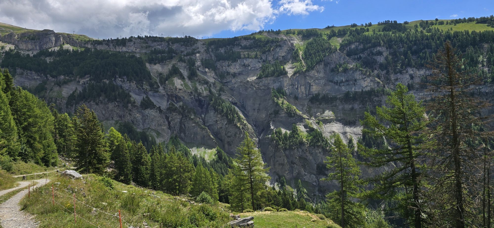
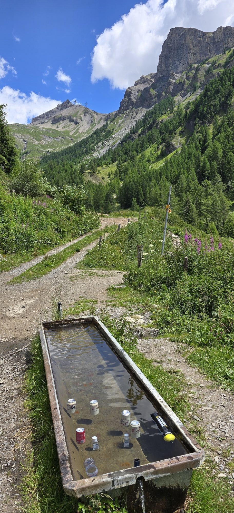
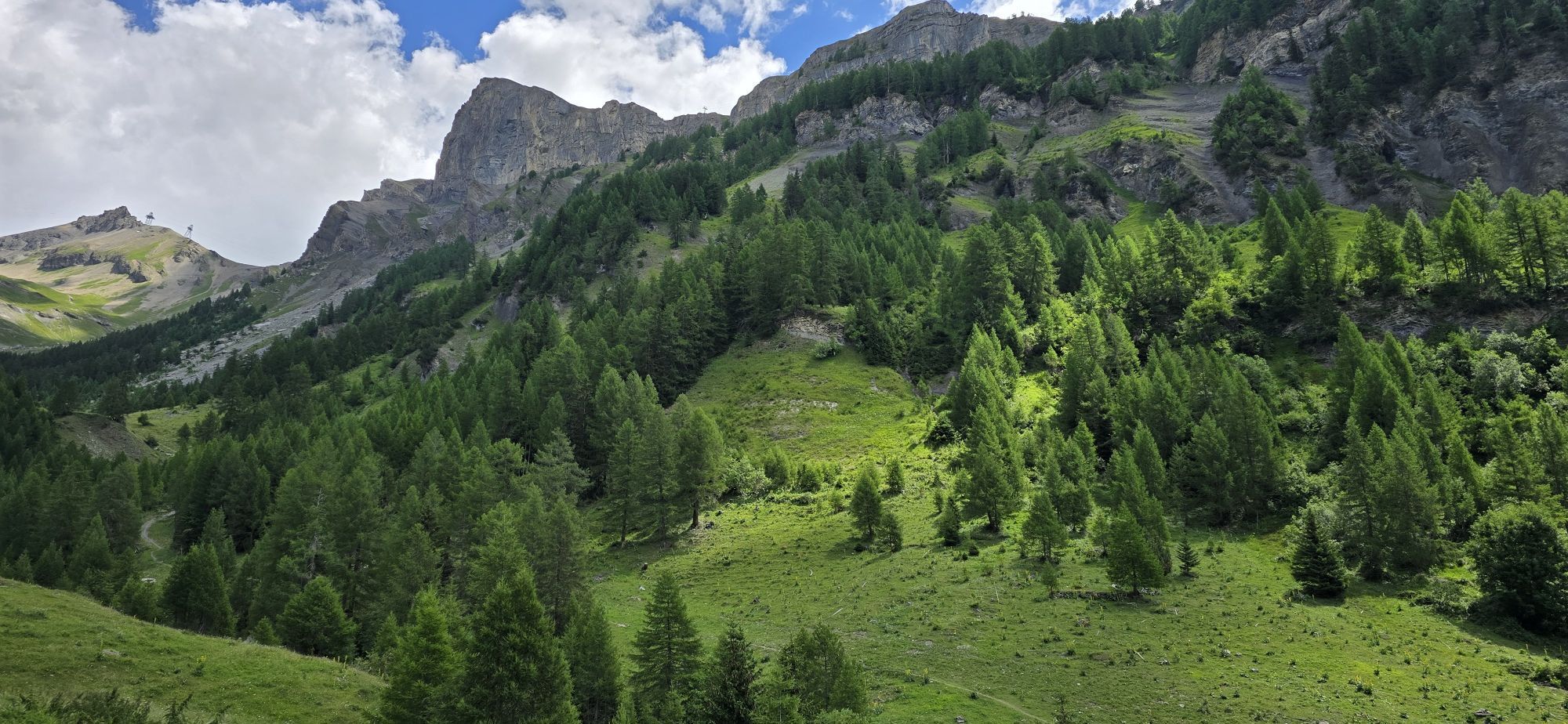
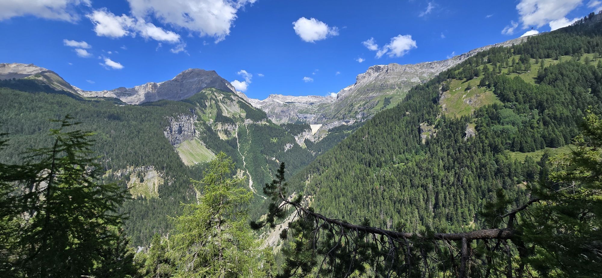
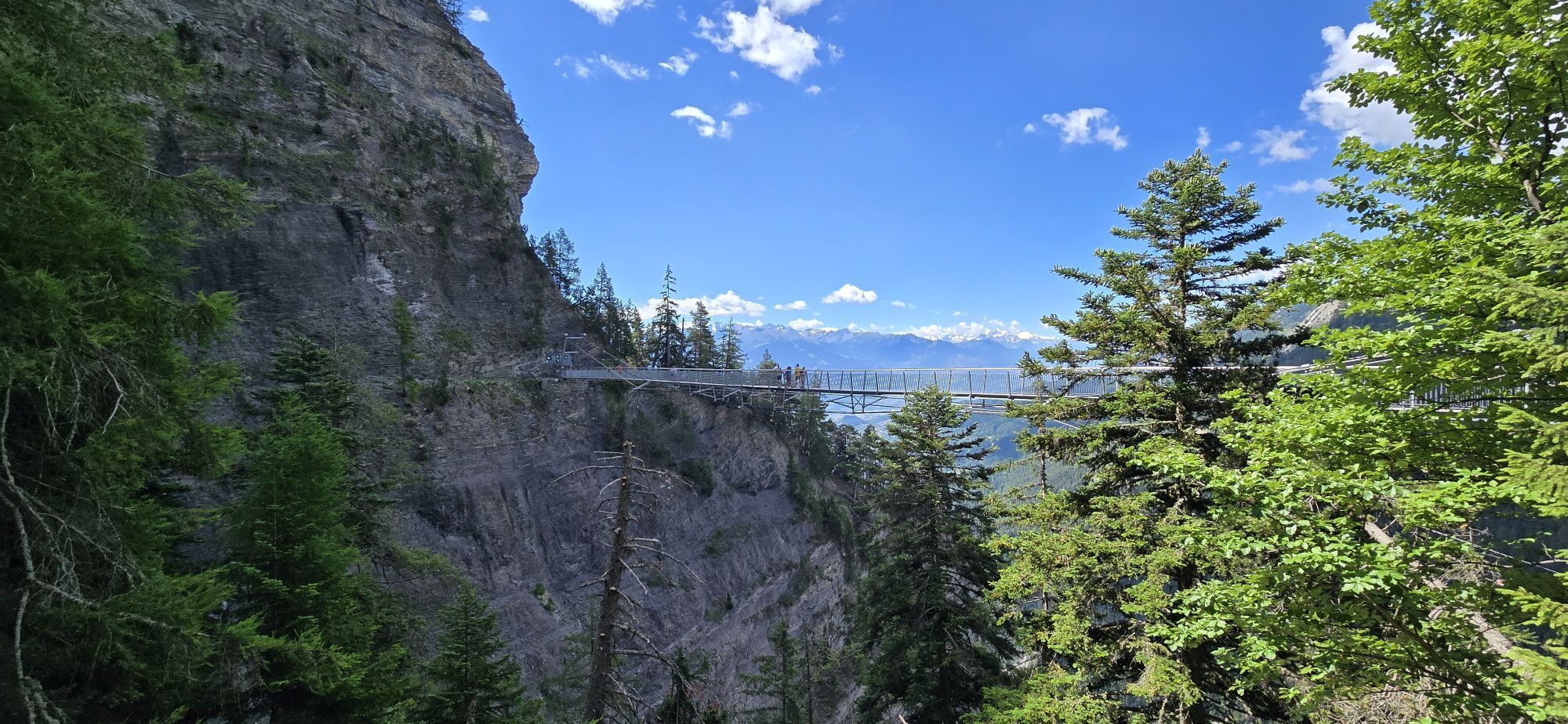
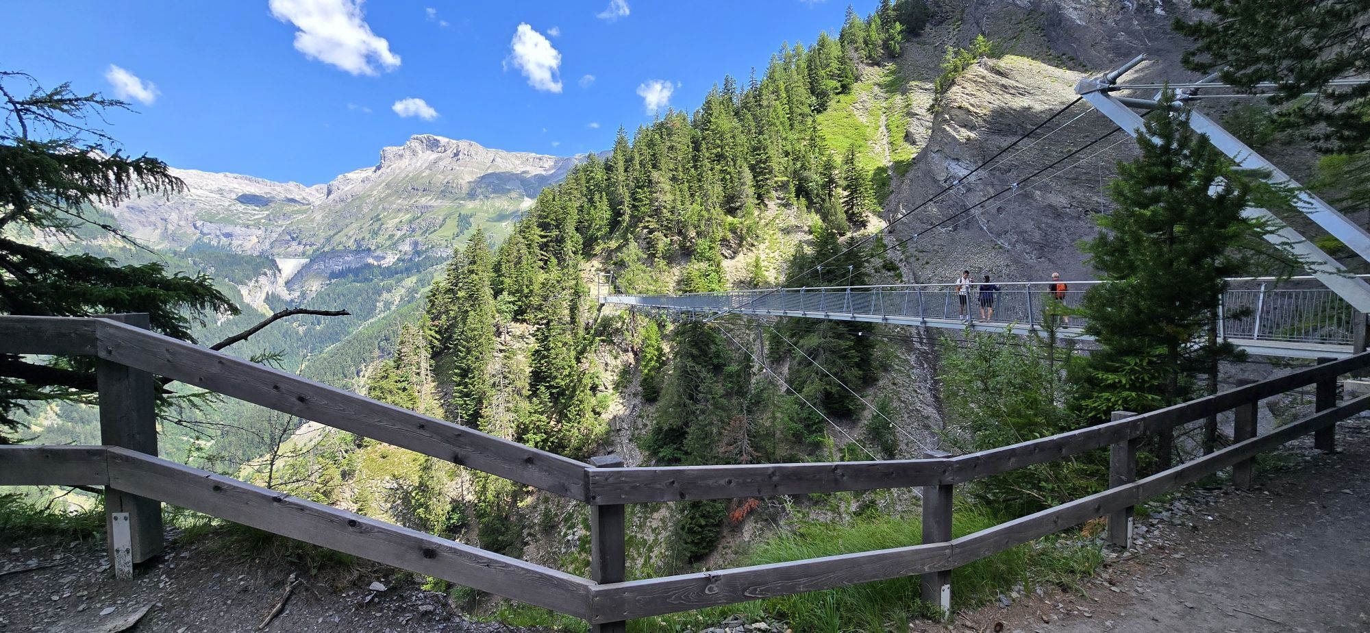
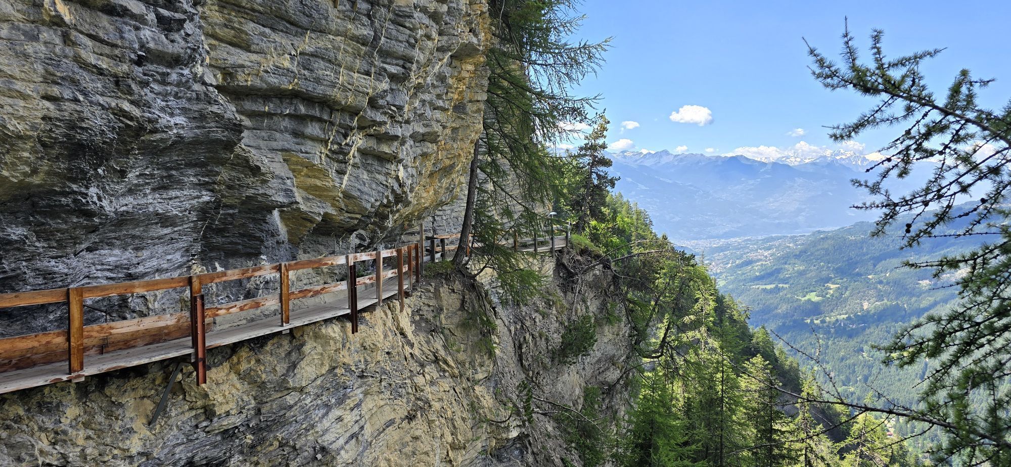
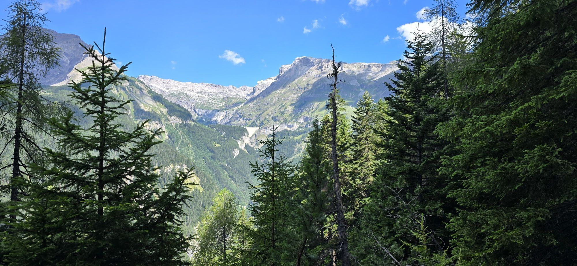
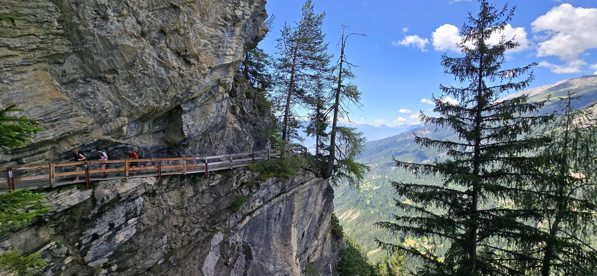
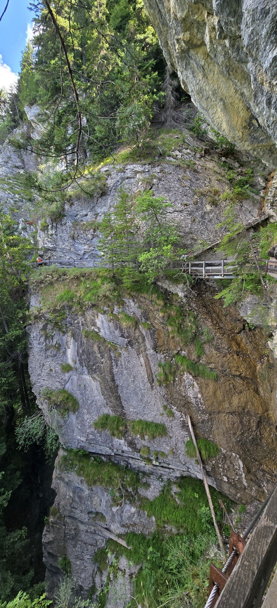
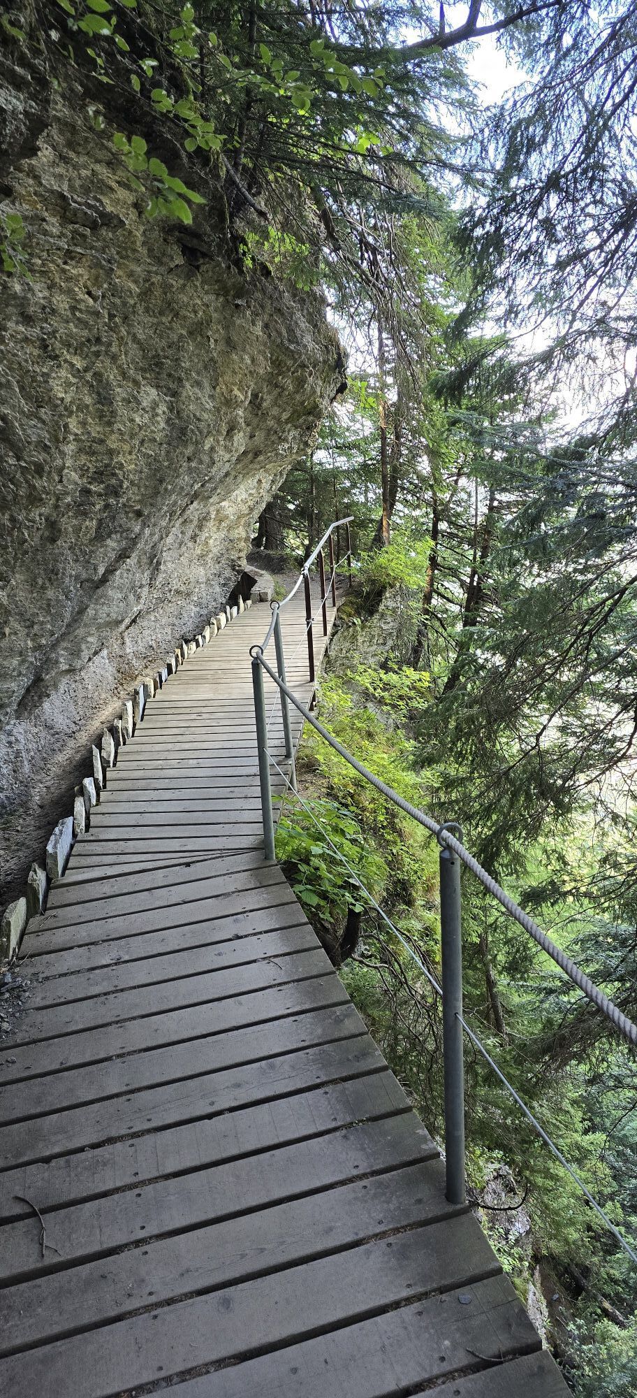
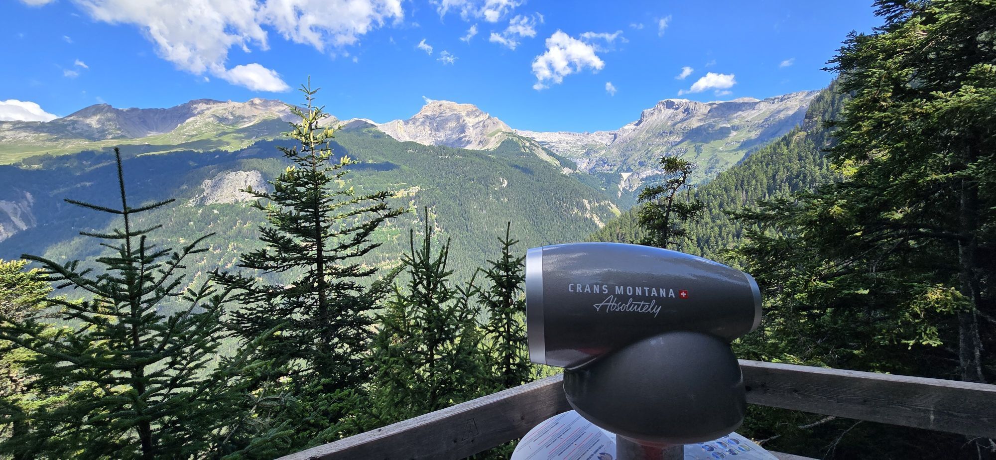
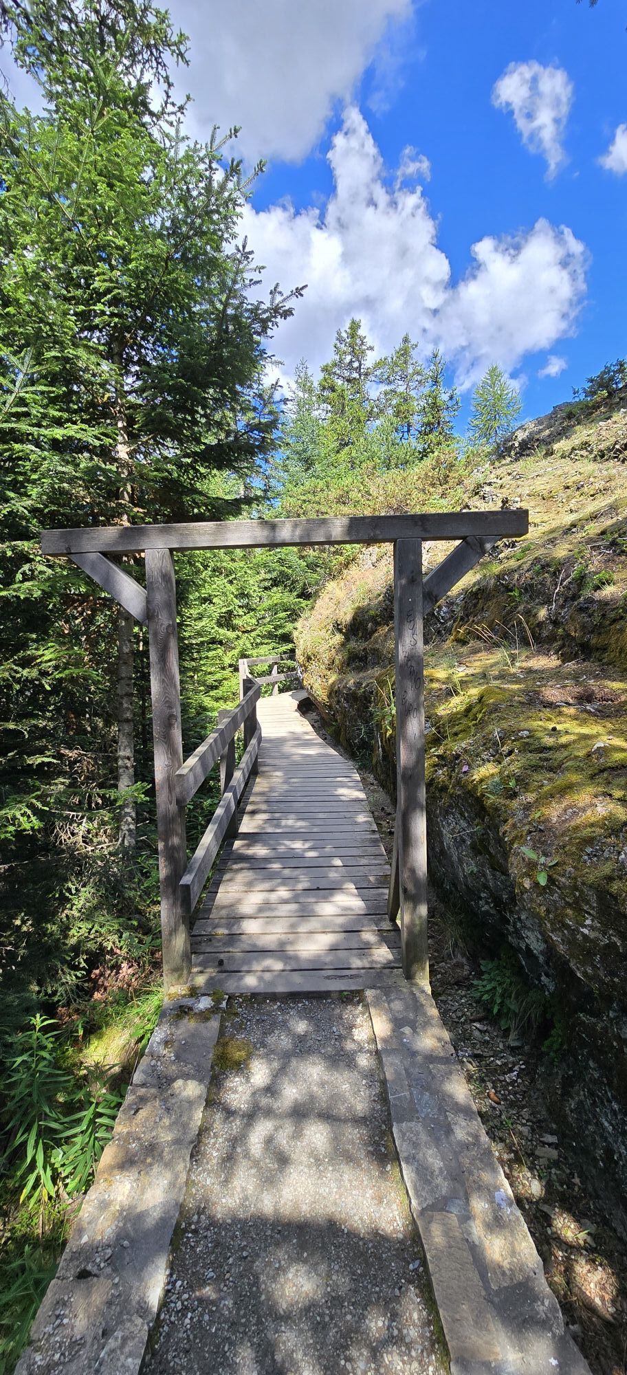
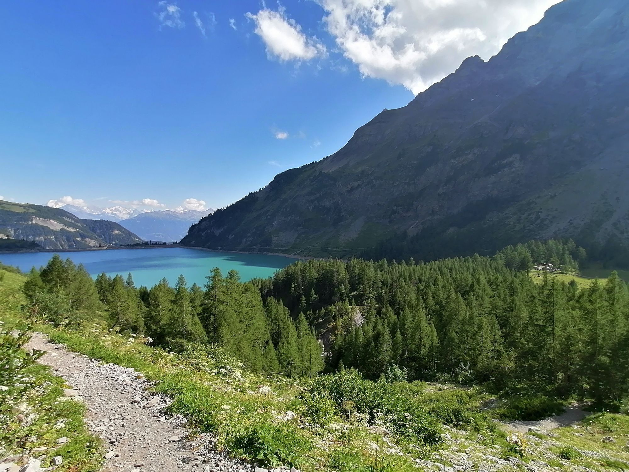
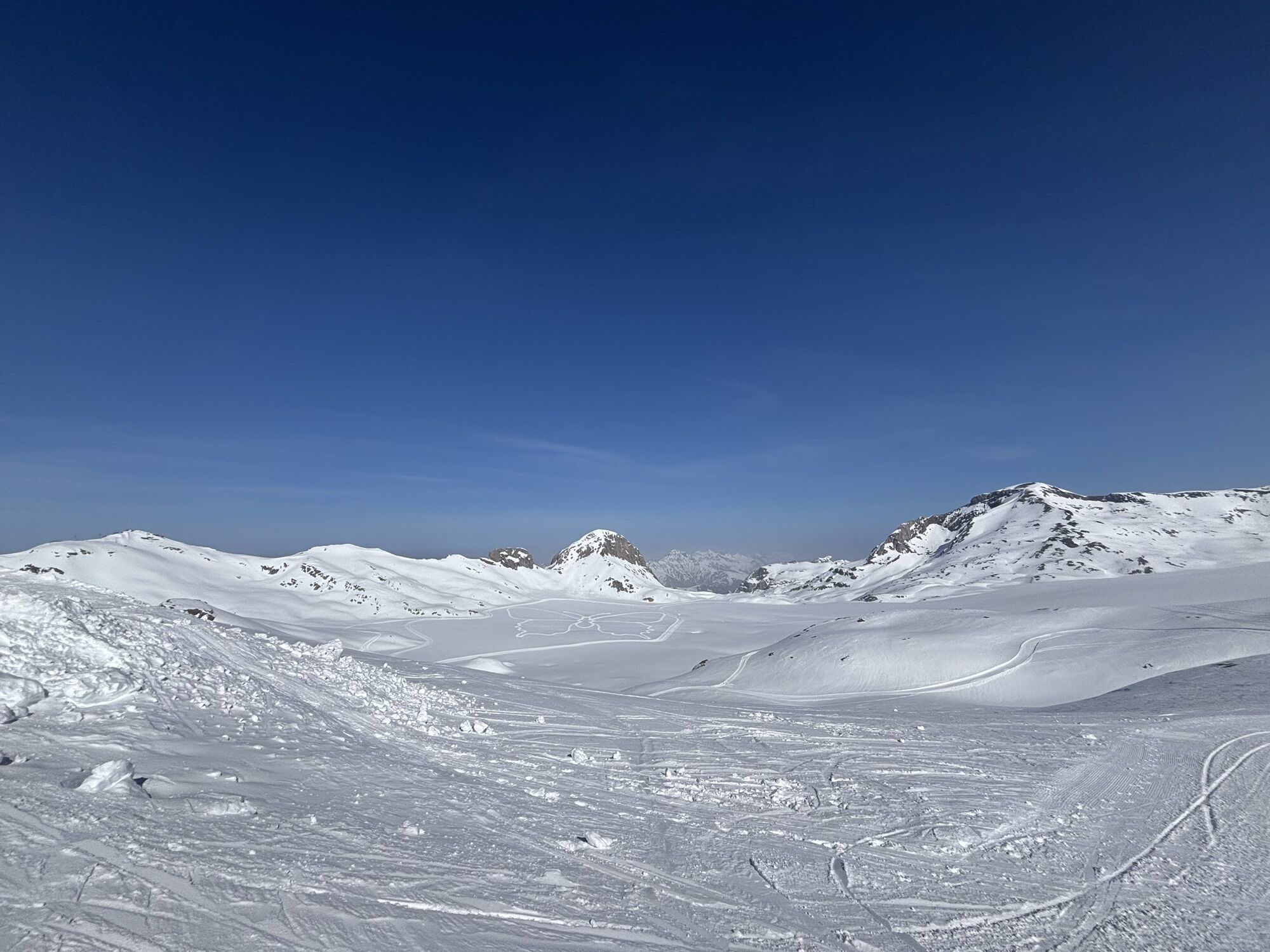
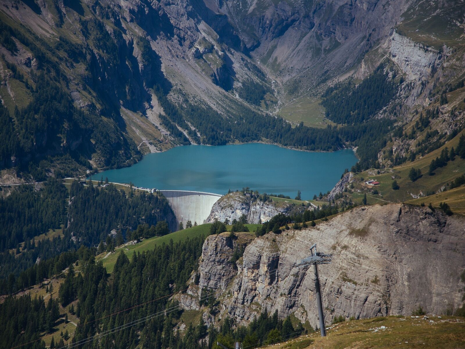
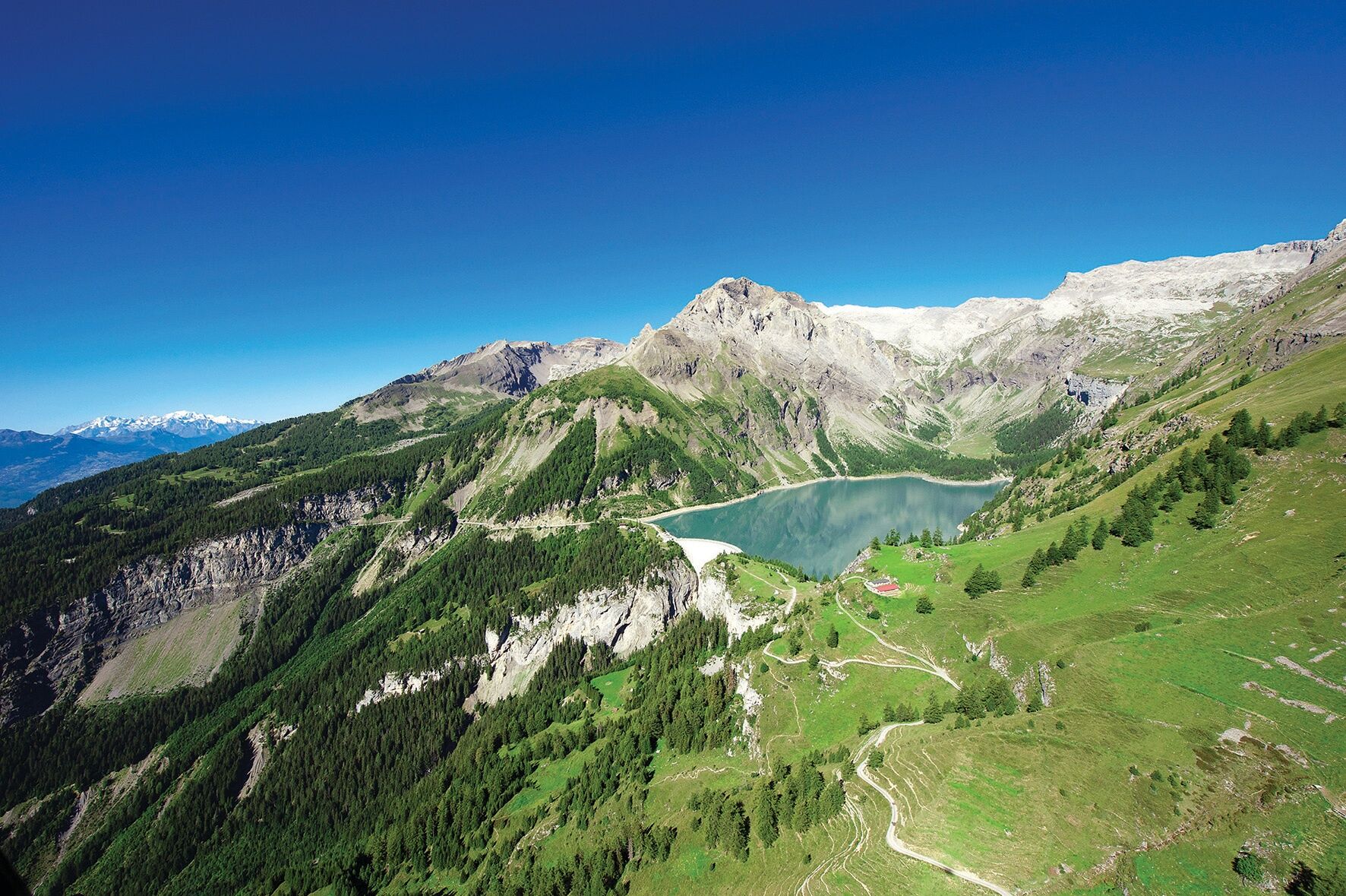
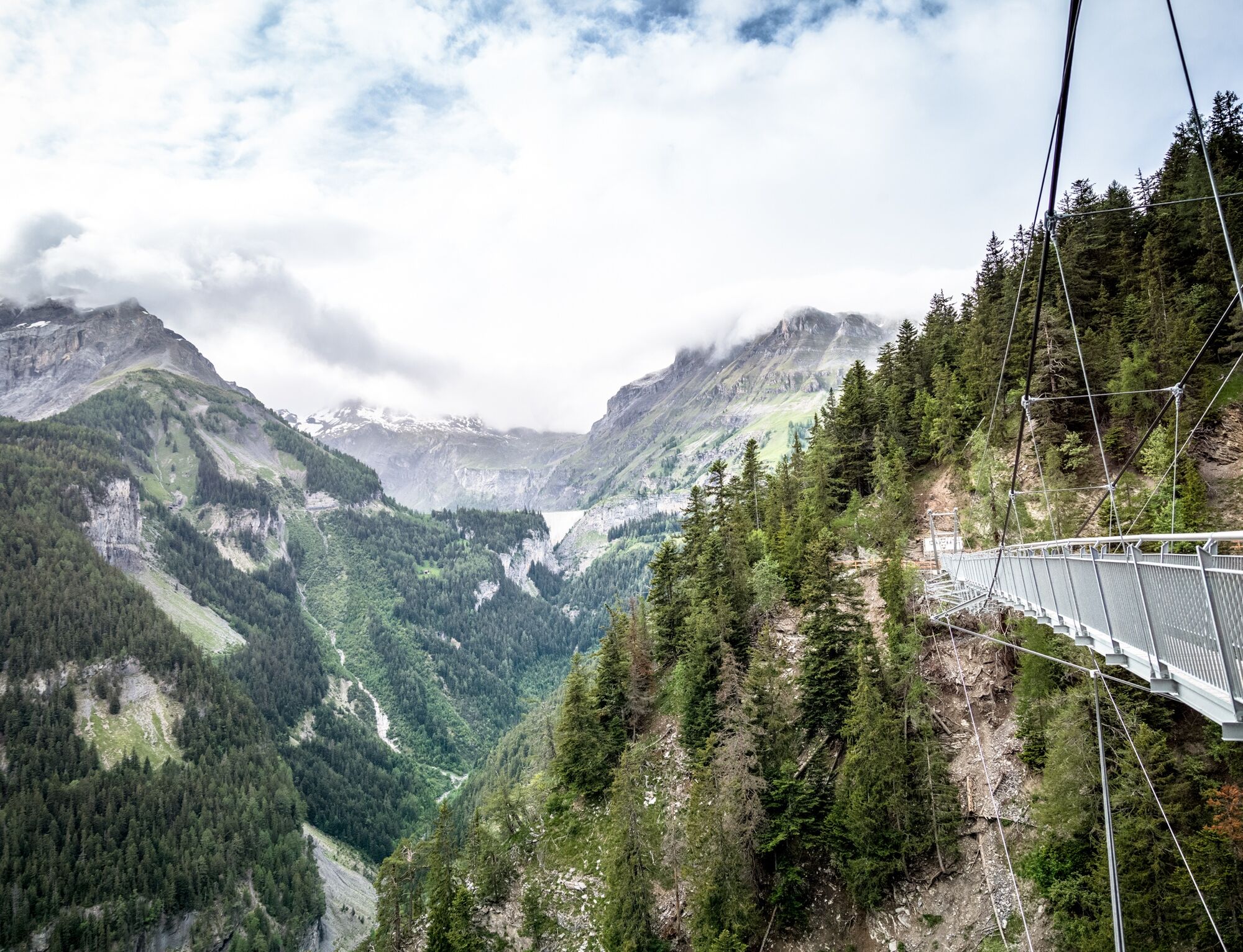
Departing from the Violettes, the hiker ascends by gondola to the Plaine Morte glacier. This very beautiful walk, passing through the Weisshornlücke, allows you to admire the magnificent landscape of the Rawyl region as well as the expanse and space of the Plaine-Morte glacier and the Wildhorn glacier. The first day ends at the Wildstrubel hut (the highest in the western Bernese Oberland) which belongs to the Swiss Alpine Club section of Wildhorn and Kaiseregg. It is located next to the "Rohrbachhaus" on a small plateau at 2793 m altitude, west of the Weisshorn. The next day, descend through an alpine pasture before reaching the Tseuzier lake (Tseuzier dam). The return along the mythical bisse du Ro, with hikers practically hanging on the rock face, allows one to imagine the difficulties encountered by the ancients who carried out these incredible constructions with almost no technical means. This rather steep and somewhat vertiginous route, but without major dangers, is nevertheless not recommended for people prone to vertigo or without good physical condition. (DR)

Take the Barzettes-Violettes gondolas then the Plaine-Morte funitel to reach the starting point - Pointe de Vatseret - Wisshorelücke - Wildstrubelhütte - Col du Rawil - Plan des Roses - Armeillon - Lac de Tseuzier - Er de Chermignon - Old bisse du Ro - Plans-Mayens - Departure of the Crans-Cry d'Er gondolas - Arrival at the Plaza on Central Street
Áno
Áno
Good hiking shoes.
Weather changes quickly at altitude, plan to bring appropriate clothing.
Certain sections are not recommended for people prone to vertigo.
Follow marked trails. Please respect the fauna, flora: nature.
Check the weather conditions before your departure.
Crans-Montana Tourism & Congress declines all responsibility in case of accident.
To reach Crans-Montana by car, take the A9 highway (Rhône highway) exit named "Sierre west." At the highway exit, turn left and follow signs indicating "Sierre." At the roundabout, turn right. Continue for 500 meters then at the entrance to Sierre, turn left towards "Crans-Montana." The trip duration is about 20 minutes. Once in Crans-Montana, follow signs to reach the Violettes ski lift parking.
The free shuttles from the SMC bus company serve the entire Crans-Montana resort. The nearest stop is ‘Télé Violettes’
Then take the lifts up to the summit of the Violettes and change to the funitel to reach Plaine Morte.
Barzettes-Violettes Parking
Address: Barzettes-Violettes Parking, Route des Barzettes, 3963 Crans-Montana
Paid outdoor parking: 110 spaces
Paid indoor parking: 411 spaces
For further information: www.crans-montana.ch/rando
This walk takes place over two days.

Obľúbené výlety v okolí
-
5,0
Bisse du Ro
svetloTuristika 11,2 km -
4,0
Grand Bisse de Lens
svetloTuristika 8,73 km -
4,7
Leukerbad - Gemmipass - Lämmerenhütte
strednáTuristika 9,49 km -
4,0
Gemmipass - Lämmerenhütte - Rote Totz Lücke - Daubensee - Gemmipass
strednáTuristika 13,7 km -
4,0
Tripon - Brac – Ancien Bisse du Torrent Neuf – St. Marguerite – Torrent Neuf – Prafirmin - St. Germain
svetloTuristika 12,9 km -
Zu den Engstligenfällen
strednáTuristika 8,06 km -
4,0
Wolfstritt
Turistika 7,02 km -
5,0
Klettersteig Daubenhorn
ťažkéVia ferrata 5,34 km -
5,0
Family-friendly Tsittoret bisse
svetloTuristika 7,14 km -
4,0
Belvédère via ferrata
strednáVia ferrata 1,81 km
Turistika a stopovanie


Nenechajte si ujsť ponuky a inšpiráciu na ďalšiu dovolenku
Vaša e-mailová adresa bol pridaný do poštového zoznamu.