







Chemin d'Ossona

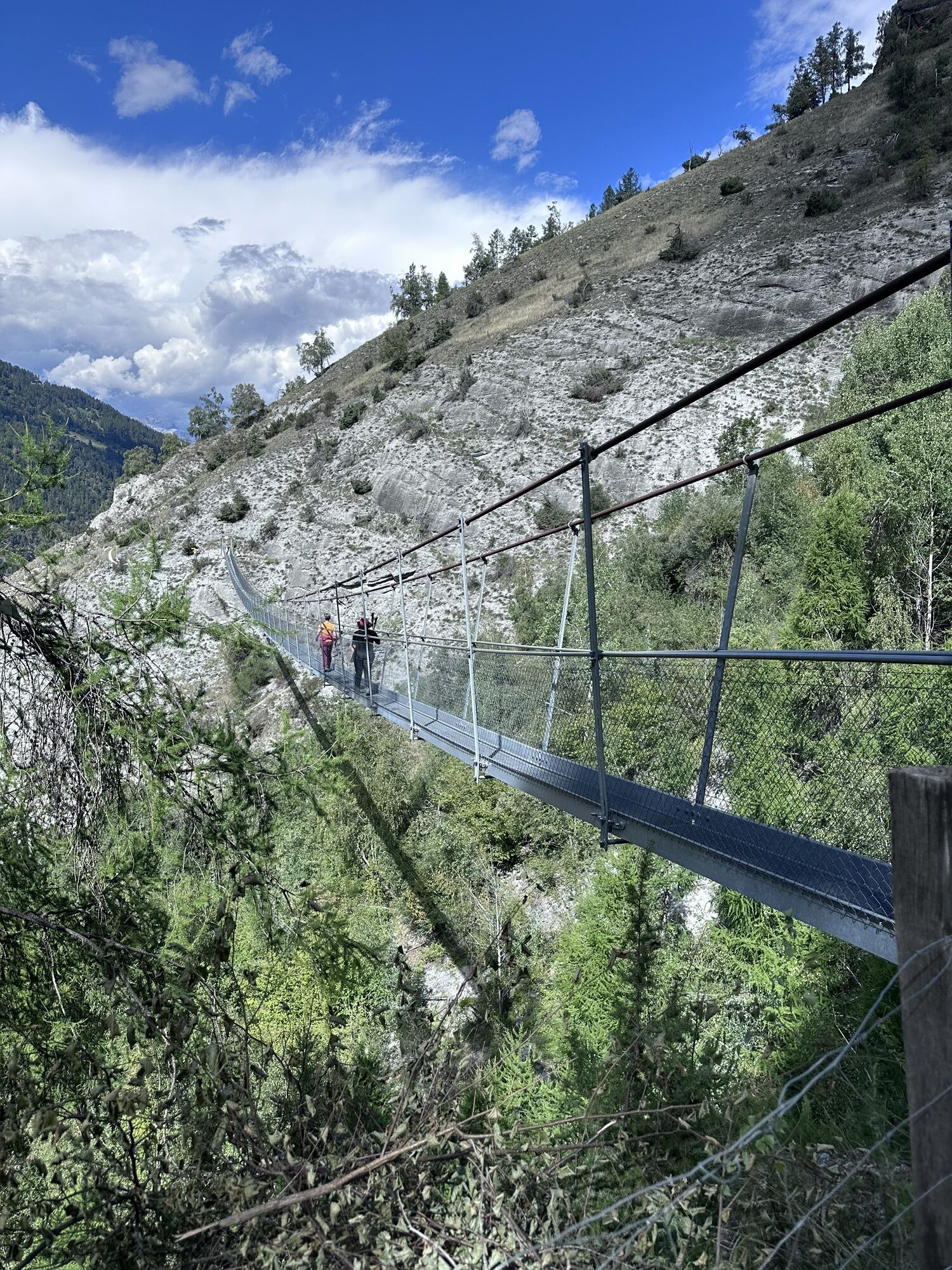
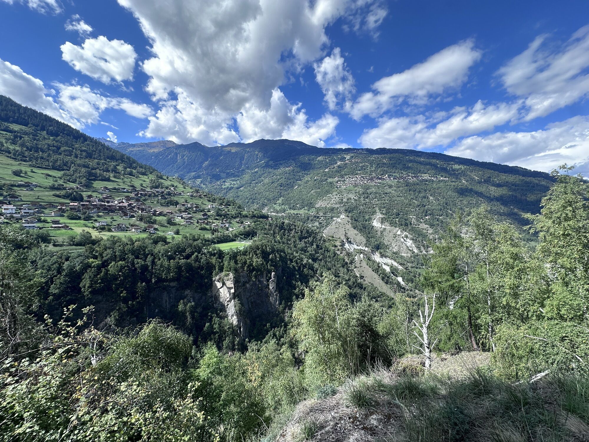
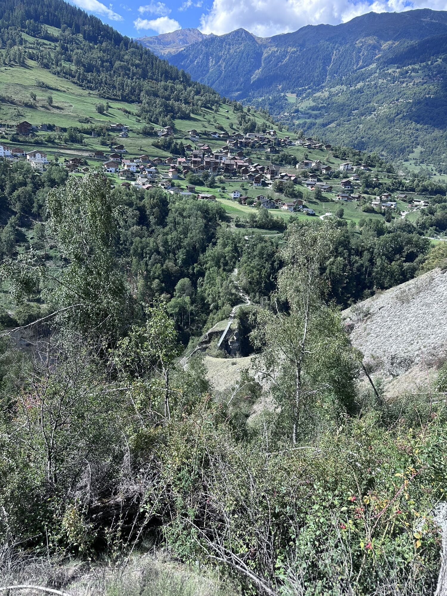
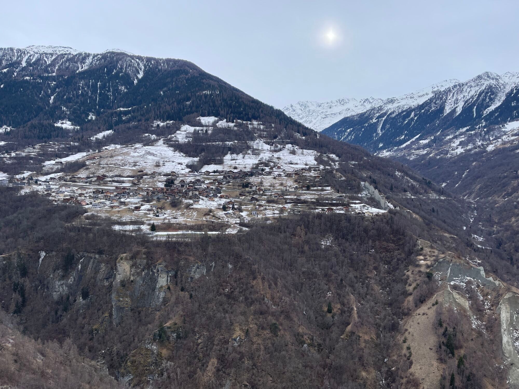
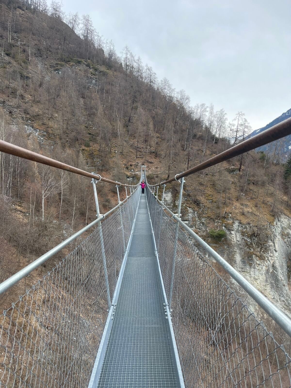
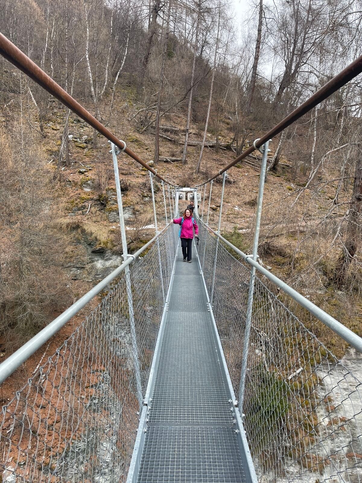
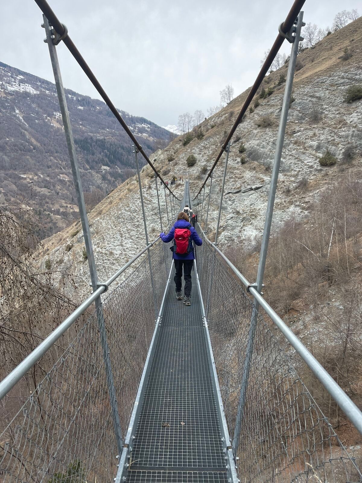
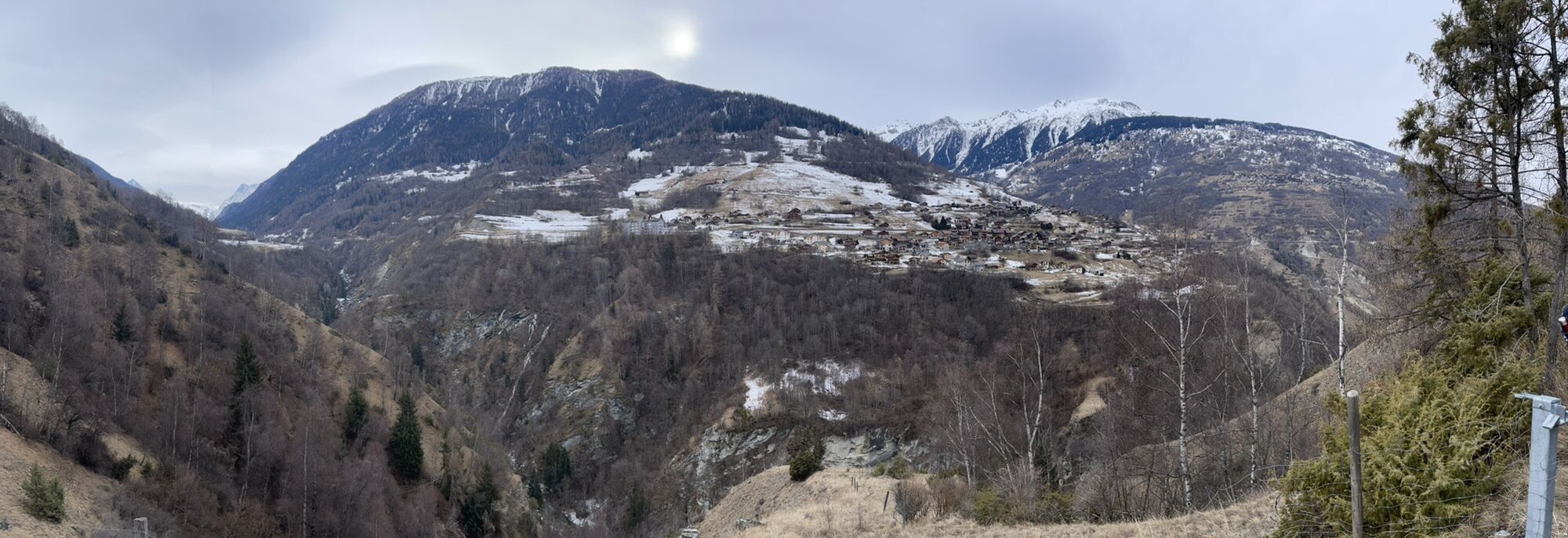
The jewel of the municipality of Saint-Martin is the Ossona plateau, which was abandoned several decades ago but has been given a new lease of life thanks to a complete restoration. The path from Les Prixes...
The jewel of the municipality of Saint-Martin is the Ossona plateau, which was abandoned several decades ago but has been given a new lease of life thanks to a complete restoration. The path from Les Prixes to La Luette takes you through the agritourism hamlet of Ossona and then across the suspension footbridge of the same name. The hamlet is situated at the heart of an extensive network of footpaths, and now offers a wide range of outdoor activities including archery, observing wild flora and fauna, meeting farm animals, walks along theme trails and rock climbing. To make the most of this enchanting landscape, you can stay in one of the restored houses, which feature all modern comforts.



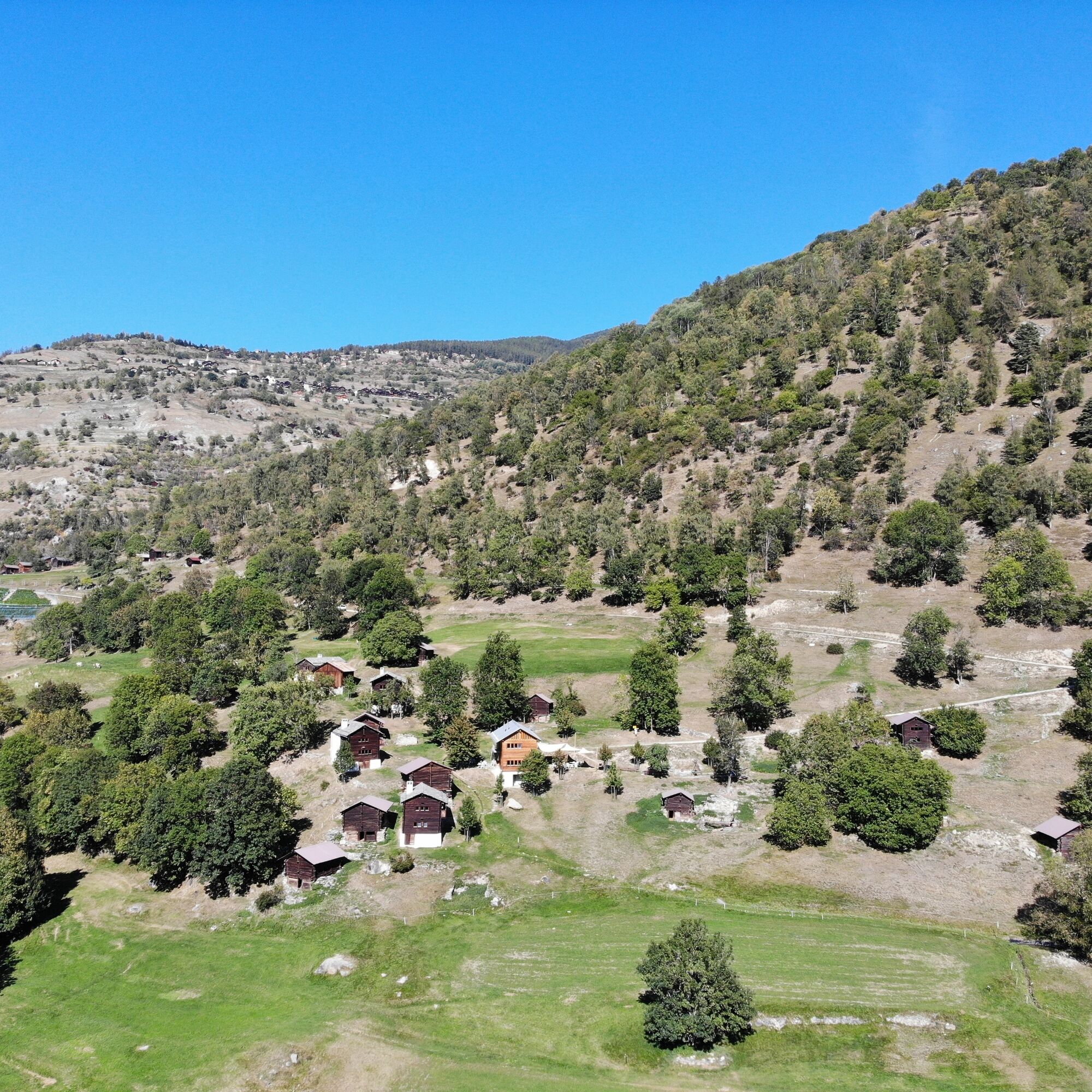


From Les Prixes, situated below the village of Vernamiège, follow a path winding through forests and pastures to La Marguéronne and then Le Grand Sevanne before reaching the agritourism hamlet of Ossona. After you have crossed the Ossona suspension footbridge, continue along the slopes high above the river La Borgne until you reach a path equipped with safety chains, which leads you to a small waterfall. Finally, cross the bridge over La Borgne to reach the village of La Luette on the other side, at precisely 1,000 metres above sea level.
Áno
We recommend:
good footwear clothing suitable for the weather: always carry a waterproof jacket hat or cap sunscreen bottle for water picnic camera binoculars (optional) hiking poles (optional) printout of this hike (click «Print» icon, to download)
For certain walks:
SwimwearThe mountains are a place of pleasure to be shared and respected, offering space in which to meet up and share unforgettable moments, whether by bike or on foot. For all outdoor enthusiasts to enjoy them properly, it is essential that mountains are shared in a way that respects both Nature and agriculture. Respectful behaviour enables everyone to enjoy their hobby in the best possible conditions. Find out about the recommendations and rules in place. When planning, take into account participants’ fitness level and ability. All riding is at one’s own risk.
For all hikes:
Bring a map. Download full description of this route including large-scale map by clicking on «Print» icon, top right of this page. Use marked trails only, and observe all signposting – for your own safety, to safeguard grazing animals and to avoid disturbing wildlife. Close gates after passing through. Please be considerate to other trail users, and to the plants and animals. Do not leave any waste in nature.For mountain hikes:
Take extra care protecting yourself from the sun at altitude. UV radiation can be exceptionally strong, even in cloudy weather. Plan hike carefully: take into consideration fitness level of each participant, weather forecast and season. Weather conditions can change quickly in the mountains, without warning. Appropriate clothing is therefore essential, along with adequate supplies of food and water. In uncertain weather, turn back in good time.For high-altitude hikes:
Inform others of the route you plan to take. Whenever possible, avoid going alone. Do not venture onto glaciers without a mountain guide. Take note of the warning signs that point out the constant danger in river beds and along watercourses below dams and reservoirs: water levels may rise rapidly without warning.Take the A9 motorway towards Sion and leave at exit 27 (Sion-Est). Drive through the village of Bramois, follow the road towards Nax and take the turning for Vernamiège.
From Geneva or Brig, take a train to Sion station, then change onto a PostBus for Vernamiège.
Large parking area on the Route Bellevue to the north-west of the village of Vernamiège.
View this tour on SwitzerlandMobility:
N°215 Chemin d'OssonaMore information about the destination:
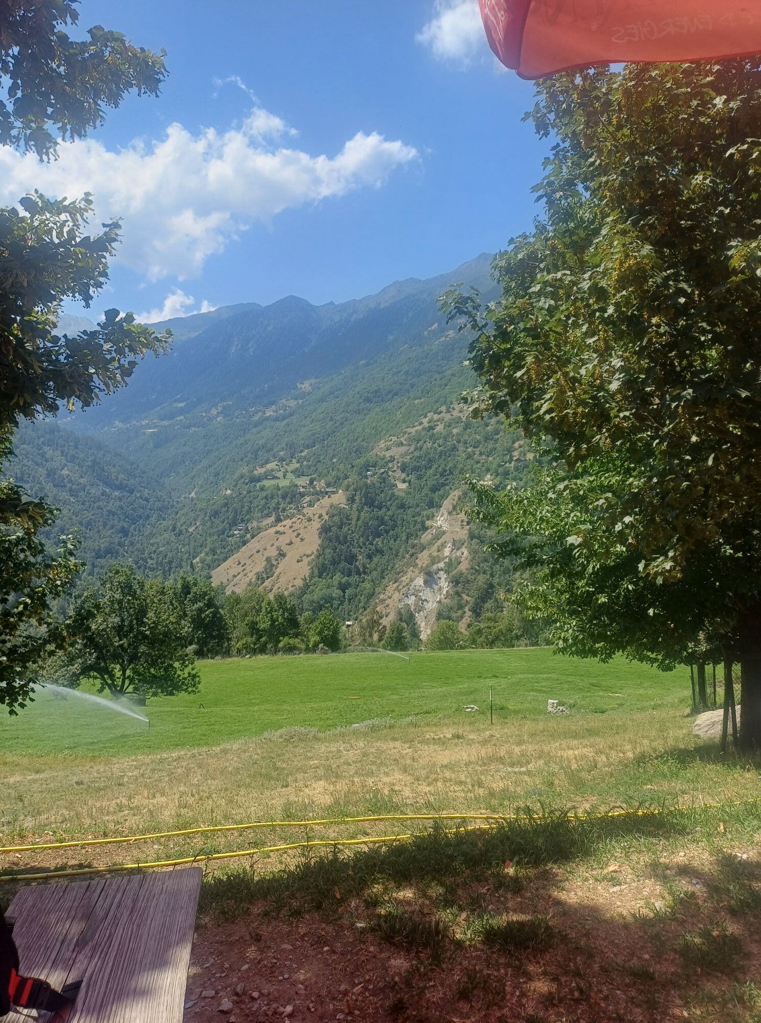
Vernamiège Val d'HérensStop for a bite at the Ossona “auberge”, open from mid-April to the end of October, and enjoy some of the delicious farm produce on offer.
Webové kamery z prehliadky

Obľúbené výlety v okolí
-
4,2
Grand Bisse de Lens
svetloTuristika 8,73 km -
3,5
Circular hike to Cabane des Aiguilles Rouges and Lac Bleu
ťažkéTuristika 14,1 km -
5,0
Sentier des bouquetins
strednáTuristika 8,73 km -
4,7
Cleuson Dam
strednáTuristika 11,5 km -
From Savoleyres to the mountain lake Lac des Vaux
strednáTuristika 14,0 km -
4,0
Tripon - Brac – Ancien Bisse du Torrent Neuf – St. Marguerite – Torrent Neuf – Prafirmin - St. Germain
svetloTuristika 12,9 km -
4,5
The Larches of Balavaux
svetloTuristika 11,0 km -
5,0
Grand bisse d’Ayent
strednáTuristika 11,7 km -
4,7
Moiry via ferrata
ťažkéVia ferrata 2,93 km -
4,0
Belvédère via ferrata
strednáVia ferrata 1,81 km
Turistika a stopovanie


Nenechajte si ujsť ponuky a inšpiráciu na ďalšiu dovolenku
Vaša e-mailová adresa bol pridaný do poštového zoznamu.





