







From one Plateau to another
Úroveň náročnosti: 3
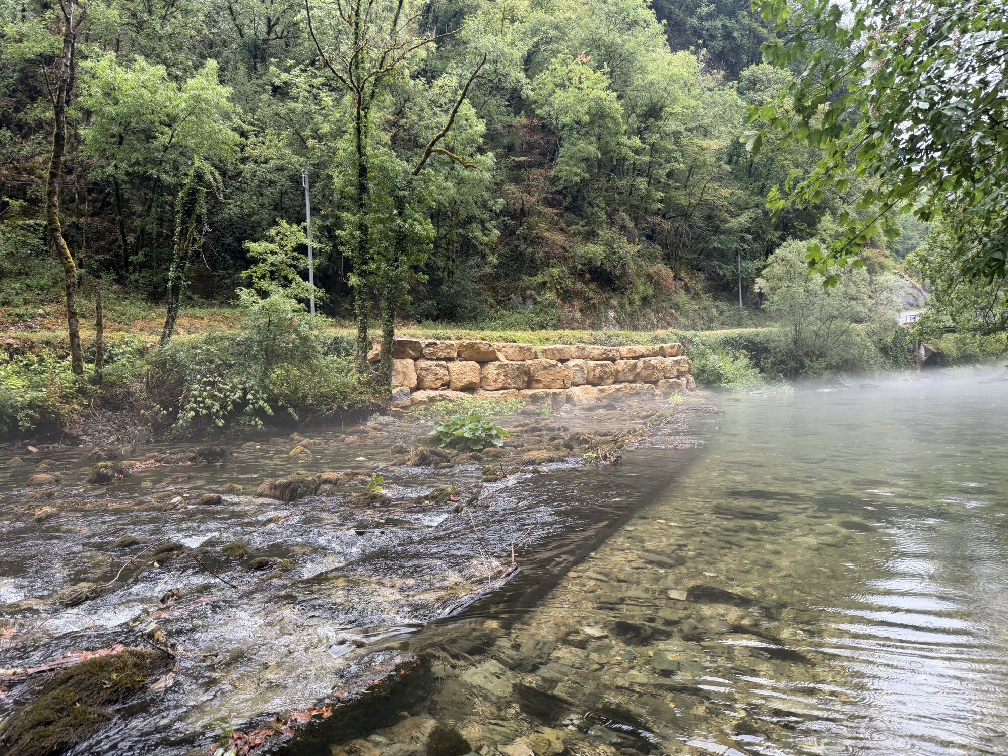
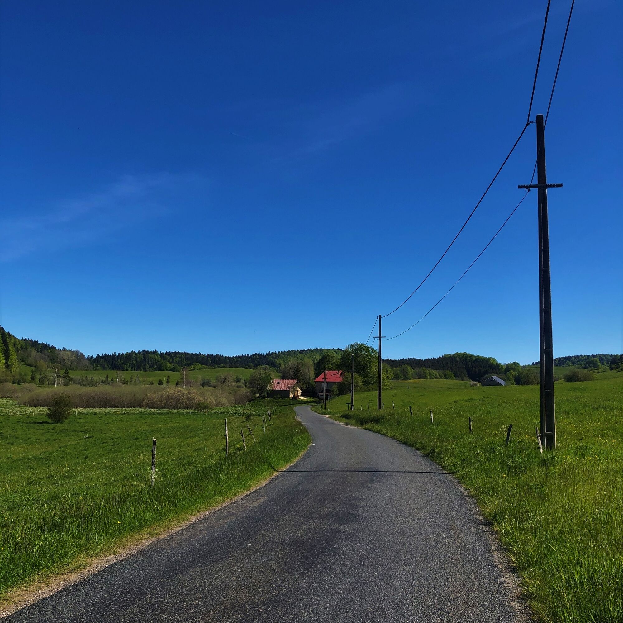
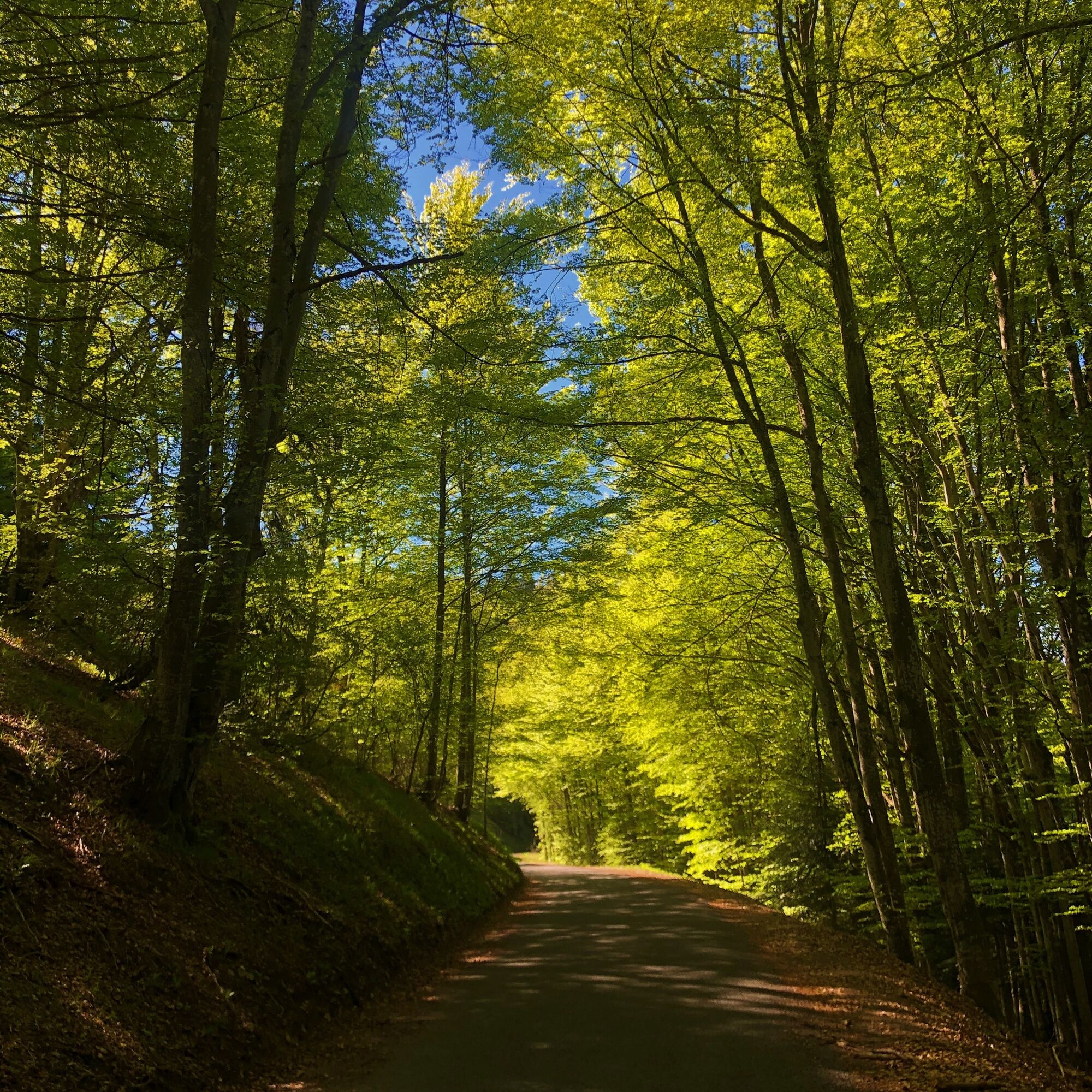
Departing from the Plans d'Hotonnes resort on the Plateau de Retord, this circuit descends the Valromey to Virieu-le-Grand before climbing the Côte des Vignes to Thezillieu. The route then avoids Hauteville...
Rental of classic bikes and VAE at the Sports 360 store in Plans d'Hotonnes.

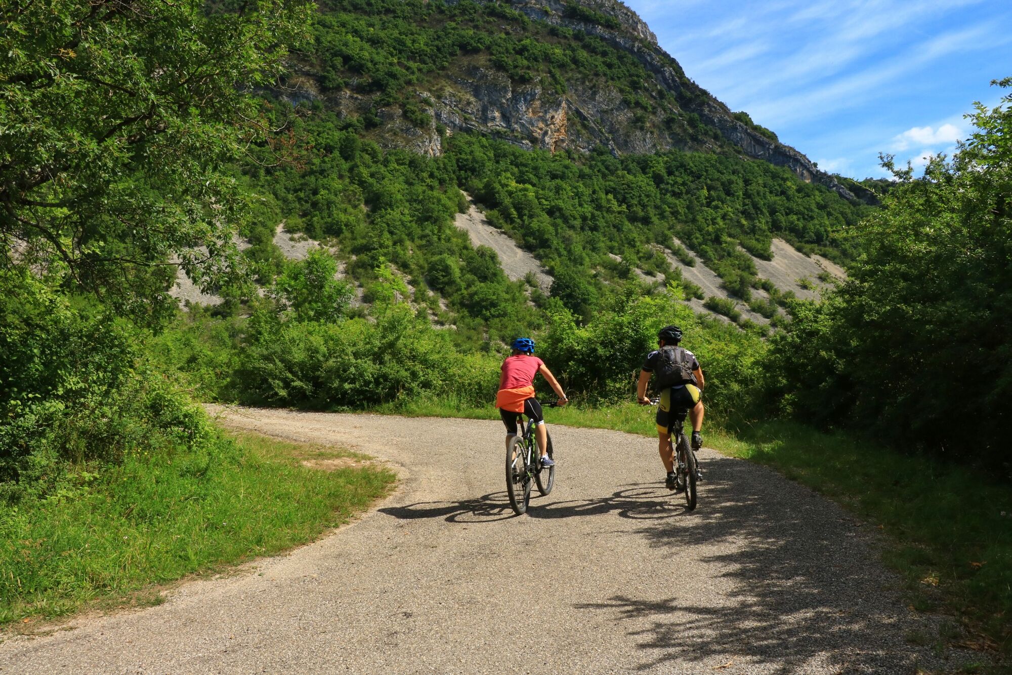
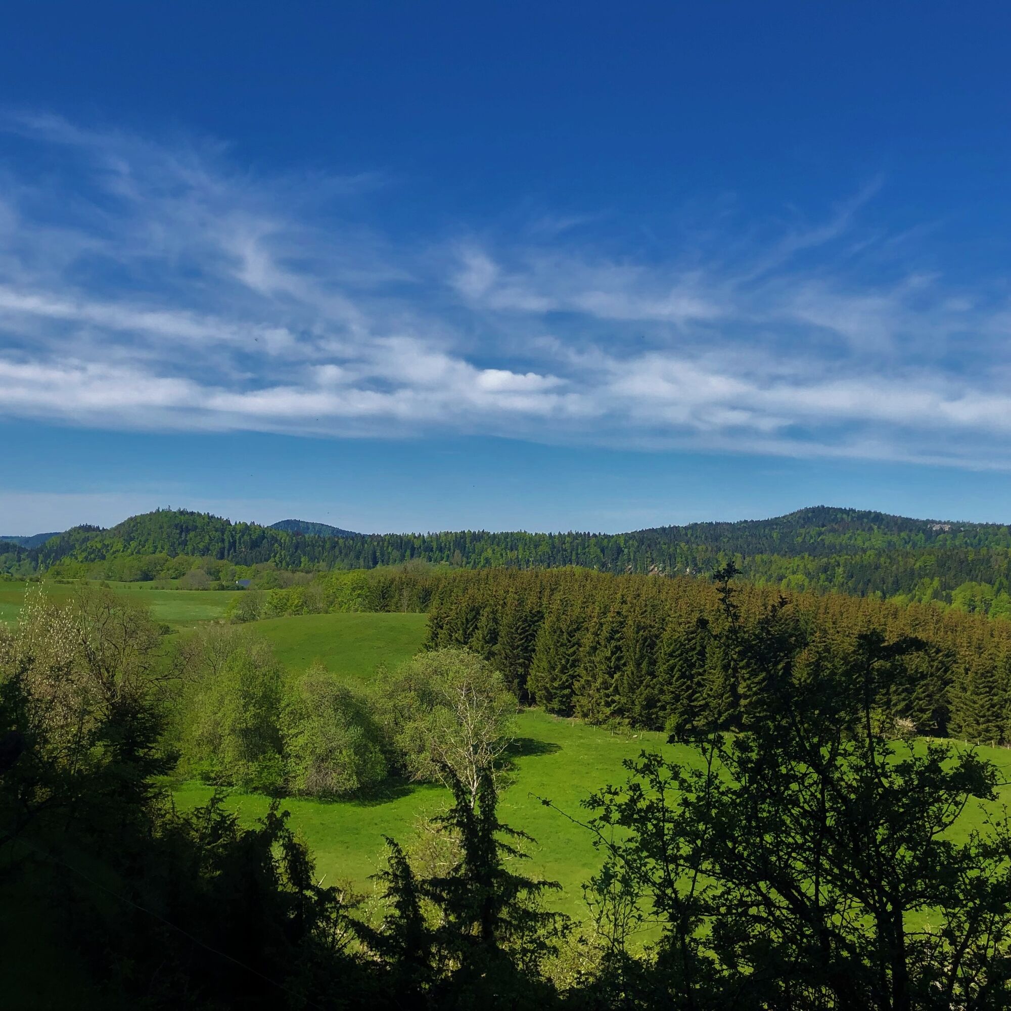
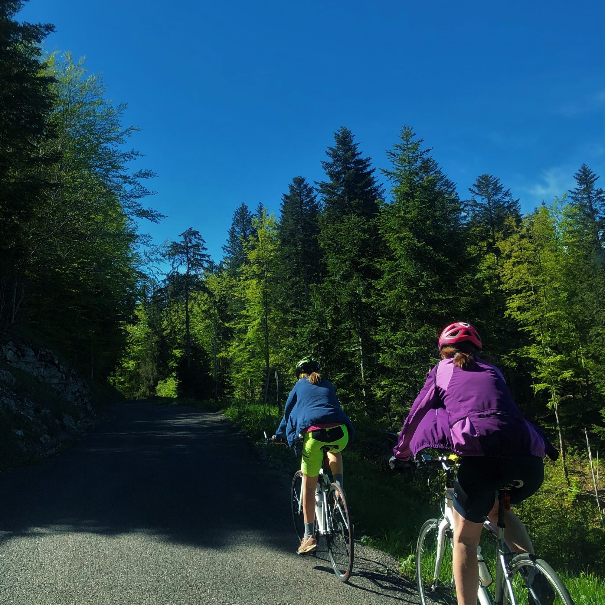
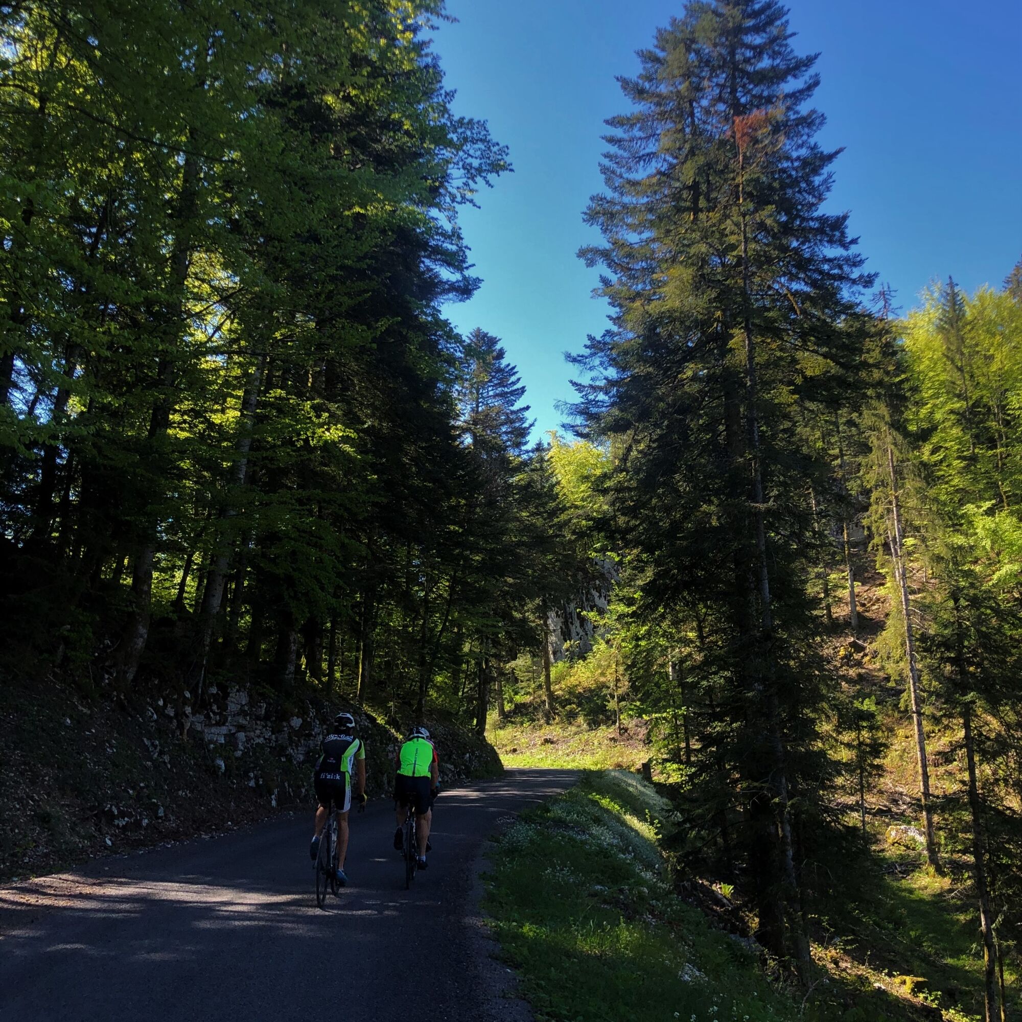
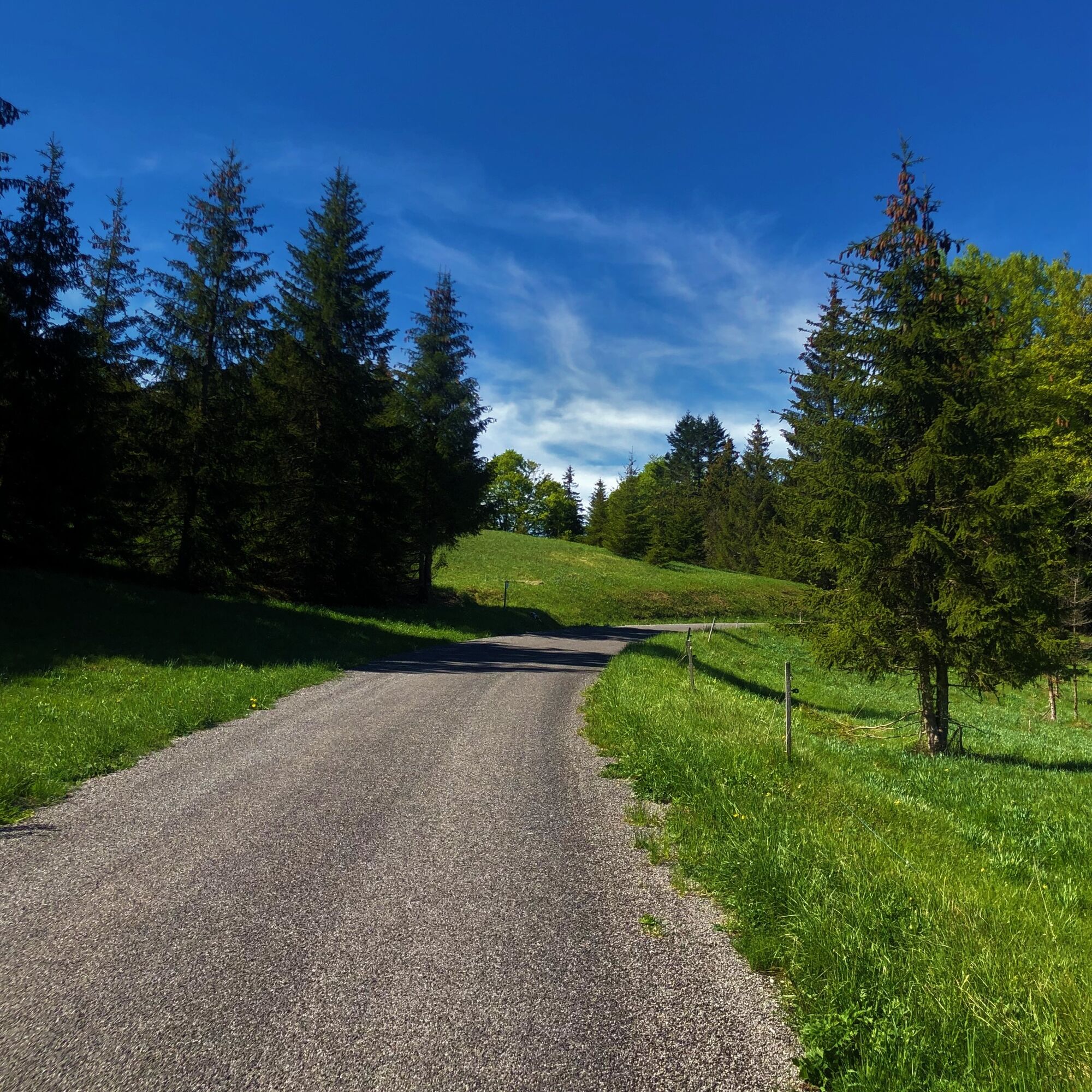
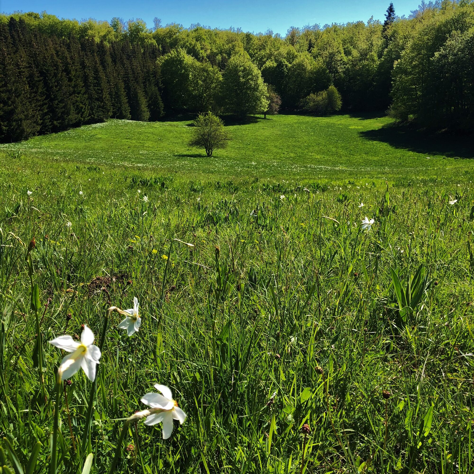

It is highly recommended to have a water bottle, a helmet, a mobile phone, and a repair kit.
Although the route mainly uses quiet roads, please respect the highway code and stay vigilant.
From Lyon, follow the A42 then the A40 towards Geneva until the Saint Martin du Fresne exit where the Plans d'Hotonnes station is signposted.
From Mâcon, follow the A40 towards Geneva until the Saint Martin du Fresne exit where the Plans d'Hotonnes station is signposted.
The Plans d'Hotonnes station is not served by public transport.
Many parking spaces are available at the Plans d'Hotonnes station.
3
APIDAE Tourism data updated on 28/04/2022 by "Office de Tourisme Bugey Sud Grand Colombier".
An error on this sheet? Write to the owner mentioning these references:
Sheet name: Bike route: From one plateau to another | Sheet ID: 6100660 | URL (link) of this Outdooractive page.
The Tourist Office's good tips.
After the bike route. The Ain's temps loisirs shop in the heart of the resort offers refreshments, an eco-friendly souvenir shop, and a wellness area with Norwegian baths and sauna.
Získajte prehľad
Vždy naživo na mieste s viac ako 9 500 webovými kamerami. bergfex Ako používateľ Pro si teraz môžete pozrieť príslušné webové kamery pre mnohé zájazdy v aplikácii zájazdy z. Môžete si tak priamo prezerať aktuálne podmienky.
Obľúbené výlety v okolí
-
3,0
Hike: on the ridge of the Grand Colombier (circuit des crêtes)
strednáTuristika 11,3 km -
1,0
Hike of the Clairefontaine waterfall
svetloTuristika 5,46 km -
Hike: A wolf life.
svetloTuristika 7,22 km -
Hike: mountain pastures of the Grand Colombier
strednáTuristika 5,23 km -
Hike of the Grand Colombier starting from Munet
ťažkéTuristika 16,0 km -
Hike: Grand Colombier from Culoz
ťažkéTuristika 26,1 km -
Cycling tour: Geological curiosities of Valromey
svetloCestný bicykel 37,1 km -
Cycling route: Du col du Ballon à la Combe de Léchaud
ťažkéCestný bicykel 122,6 km -
Hike: Innimond cross
ťažkéTuristika 12,8 km -
Hike in Bugey: Les crêtes d'Hergues
strednáTuristika 8,63 km
Turistika a stopovanie


Nenechajte si ujsť ponuky a inšpiráciu na ďalšiu dovolenku
Vaša e-mailová adresa bol pridaný do poštového zoznamu.





