







Hike in Bugey: Les crêtes d'Hergues
Úroveň náročnosti: T2
A stone's throw from the Grand Colombier, you will discover the Crêtes d'Hergues, more confidential, facing Mont Blanc and overlooking the Arvière valley which it will take you up to return to the starting...
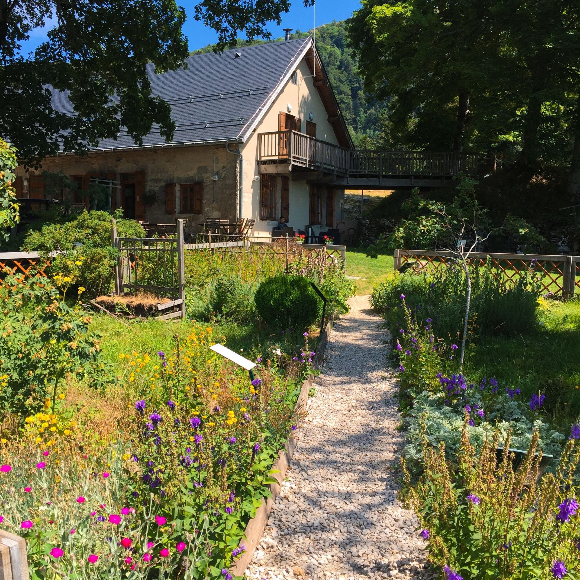
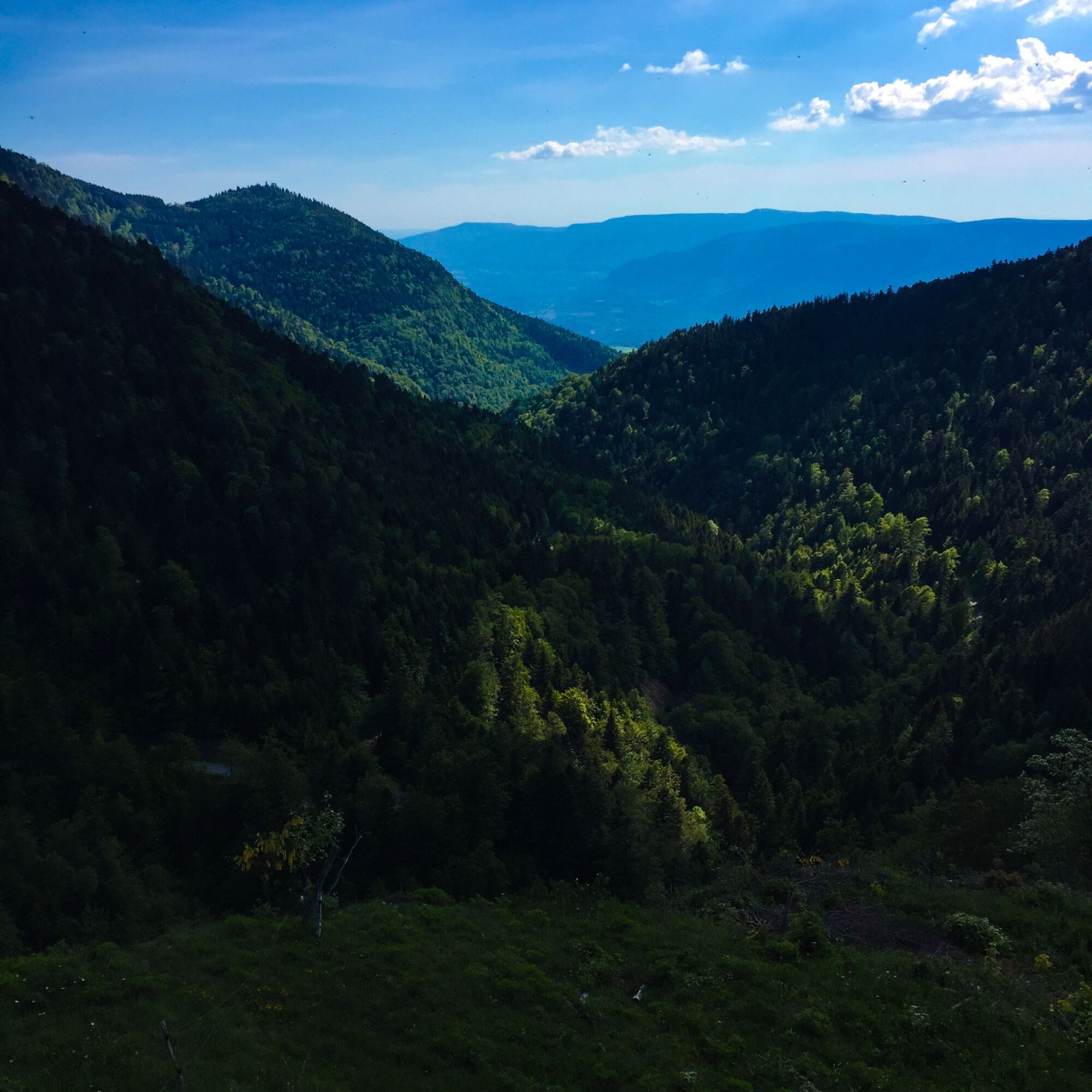
Next stage of your journey, the Chalet d'Arvière, located next to the ruins of the old Charterhouse of the same name offers a remarkable view of the forests of the Grand Colombier and Valromey.
Do not hesitate to walk around the gardens of the Chalet d'Arvière to enjoy the peace offered by such priviledged place.
Follow the initials "HE" on the signs.

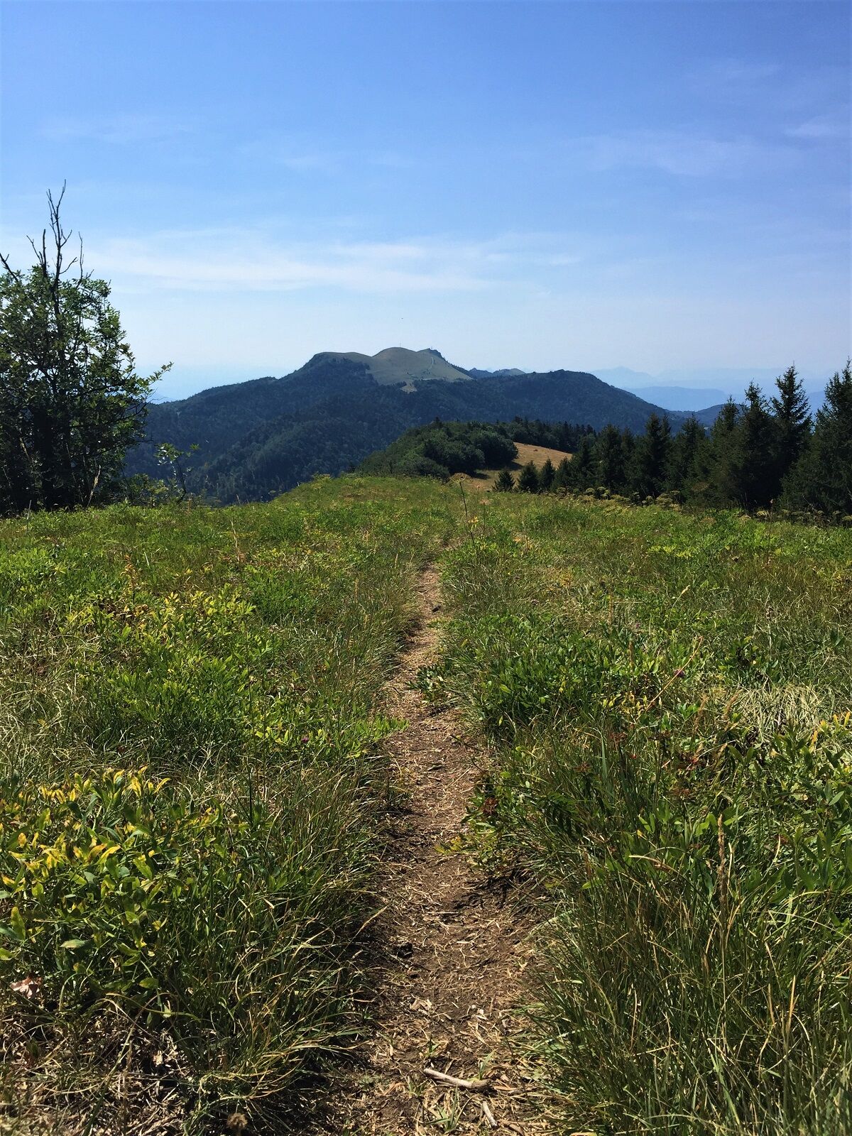
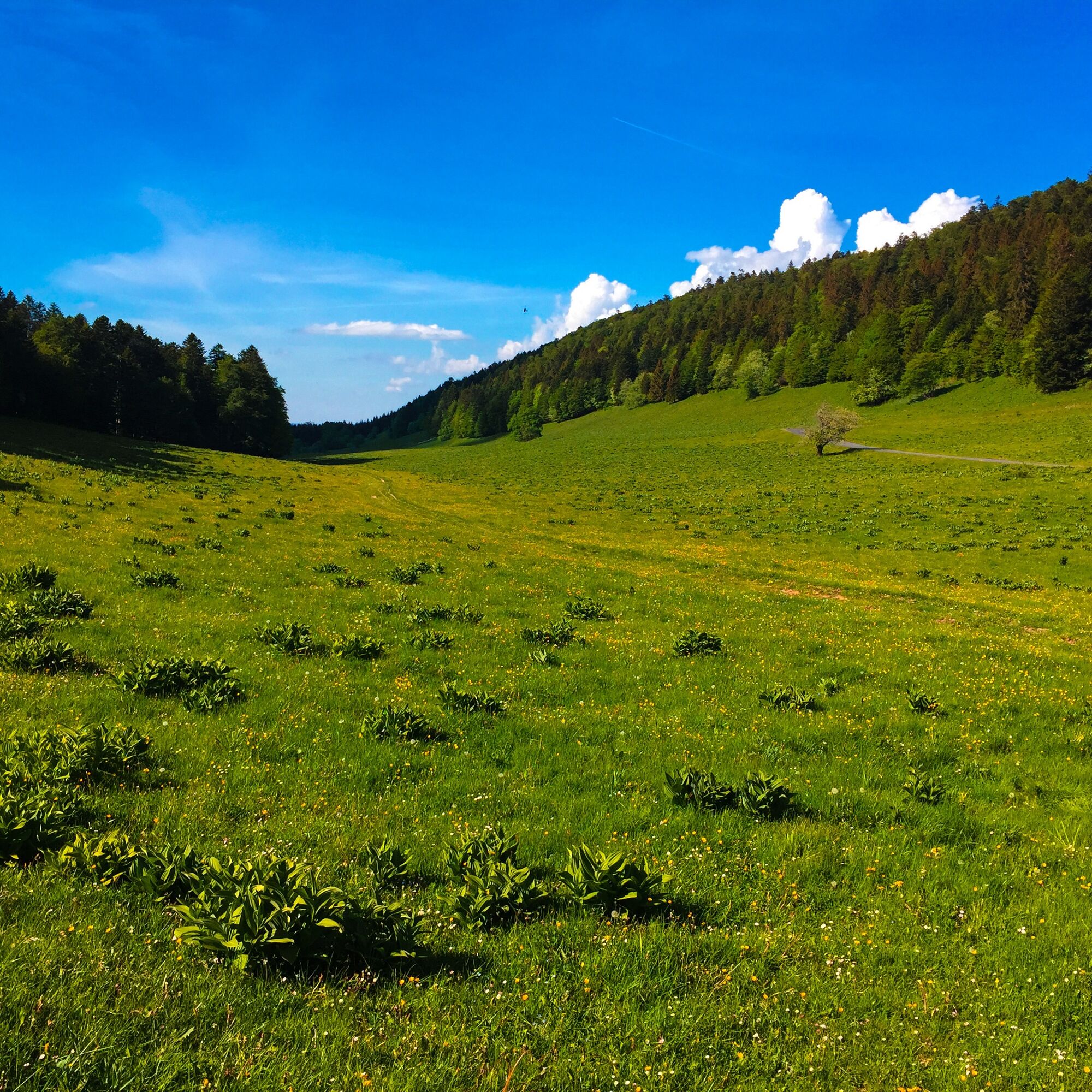
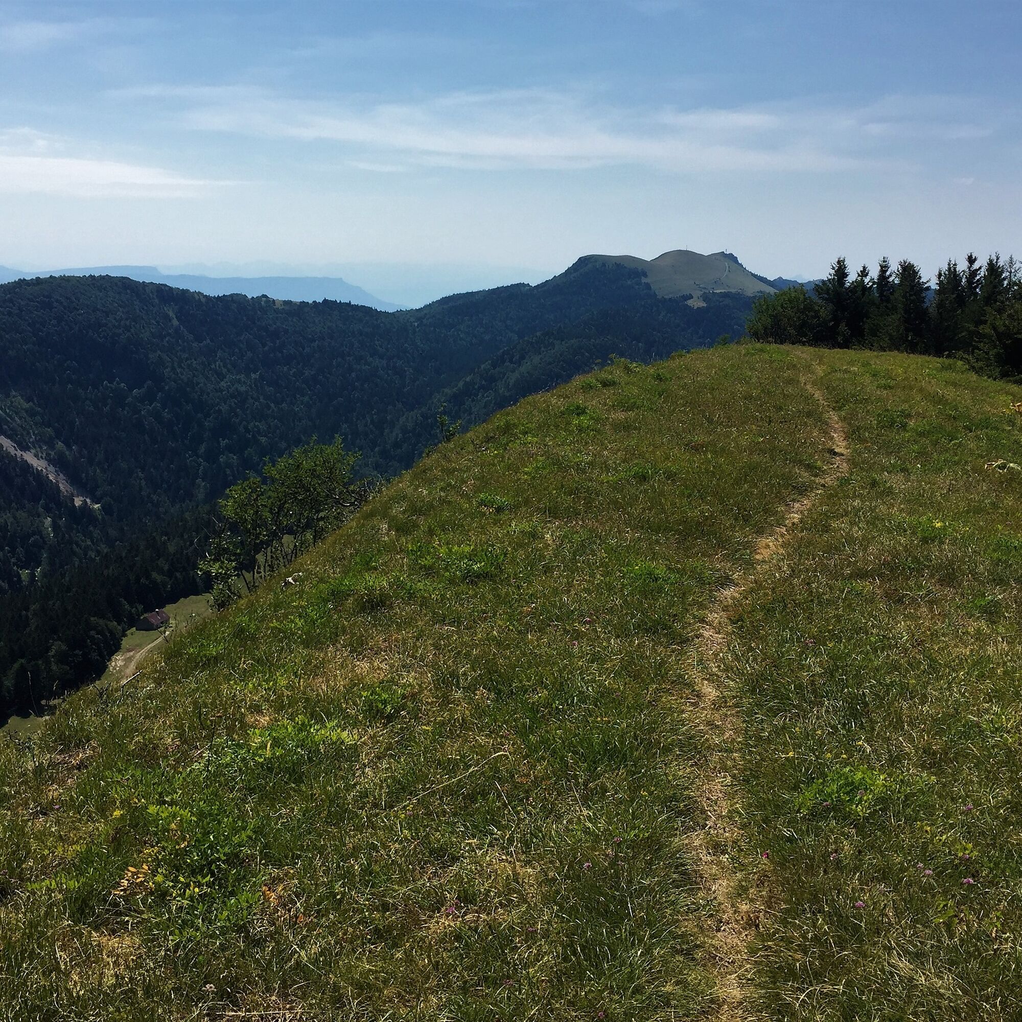

From the Grange d'en Bas, the route heads north to the Grange d'en haut via the Lovire forest road before reaching the Hergues ridges passing through the Golet de la Biche. From the Hergues ridges, descend the path to the Grange de Falavier then the Chalet d'Arvière before climbing back up through the valley of the same name.
Áno
Áno
Áno
It is recommended to wear proper footwear and bring enough water.
The route crosses alpine pastures, utmost caution is recommended when encountering a herd.
Please always close gates behind you.
Defective signage, incidents / safety, usage conflicts, illegal dumping? : locate and share the encountered problem on the national alert system via the SURICATE app or the website https://sentinelles.sportsdenature.fr/
Access to the Col de la Biche is via the D123 from Brénaz on the Valromey side or Corbonnod on the Rhône valley side.
From the Col de la Biche, descend towards the Auberge de Sur Lyand and park in the bend just after leaving the forest.
The starting point is not accessible by public transport.
The parking lot of the Grange d'en Bas is located in the large bend of the Combe du Cimetière.
T2
APIDAE Tourism data updated on 24/10/2022 by "Office de Tourisme Bugey Sud Grand Colombier".
An error on this sheet? Write to the owner by quoting these references:
Sheet name: Hiking route: The Hergues ridges | Sheet ID: 5366660 | URL (link) of this Outdooractive page.
On the route:
As at the summit of its neighbor, the Grand Colombier, the view of the Alps from the ridges is breathtaking on clear days. A slight detour to the Chalet d'Arvière (former Charterhouse, ethnobotanical garden, and refuge) will allow you to enjoy the exceptional setting.
Nearby:
- La Fruitière du Valromey - Comté production opens its doors to you in Virieu-le-Petit a few kilometers from the start of the hike. To try: the Valromette, the Valromey Raclette cheese!
- The Bugey-Valromey Museum located in Lochieu to discover the different facets of Bugey and understand the local life and dynamism: crafts, customs, famous personalities, fauna, landscape... Not forgetting its remarkable collection of turned wood artworks.
This route is part of the "Ain Outdoor" selection.
Obľúbené výlety v okolí
-
3,0
Hike: on the ridge of the Grand Colombier (circuit des crêtes)
strednáTuristika 11,3 km -
1,0
Hike of the Clairefontaine waterfall
svetloTuristika 5,46 km -
Cycling tour : Marshes and vineyards in Bugey
svetloCestný bicykel 33,1 km -
Hike: A wolf life.
svetloTuristika 7,22 km -
3 day-hike in Jura: hiking trails through Plateau de Retord and Grand Colombier
ťažkéTuristika 50,9 km -
Hike of the Grand Colombier starting from Munet
ťažkéTuristika 16,0 km -
Hike: mountain pastures of the Grand Colombier
strednáTuristika 5,23 km -
Hike: on the steps of the WW2 French resistance.
ťažkéTuristika 17,8 km -
Hike: Grand Colombier from Culoz
ťažkéTuristika 26,1 km -
Cycling tour: Geological curiosities of Valromey
svetloCestný bicykel 37,1 km
Turistika a stopovanie


Nenechajte si ujsť ponuky a inšpiráciu na ďalšiu dovolenku
Vaša e-mailová adresa bol pridaný do poštového zoznamu.





