






The Chemin des Gardes on foot

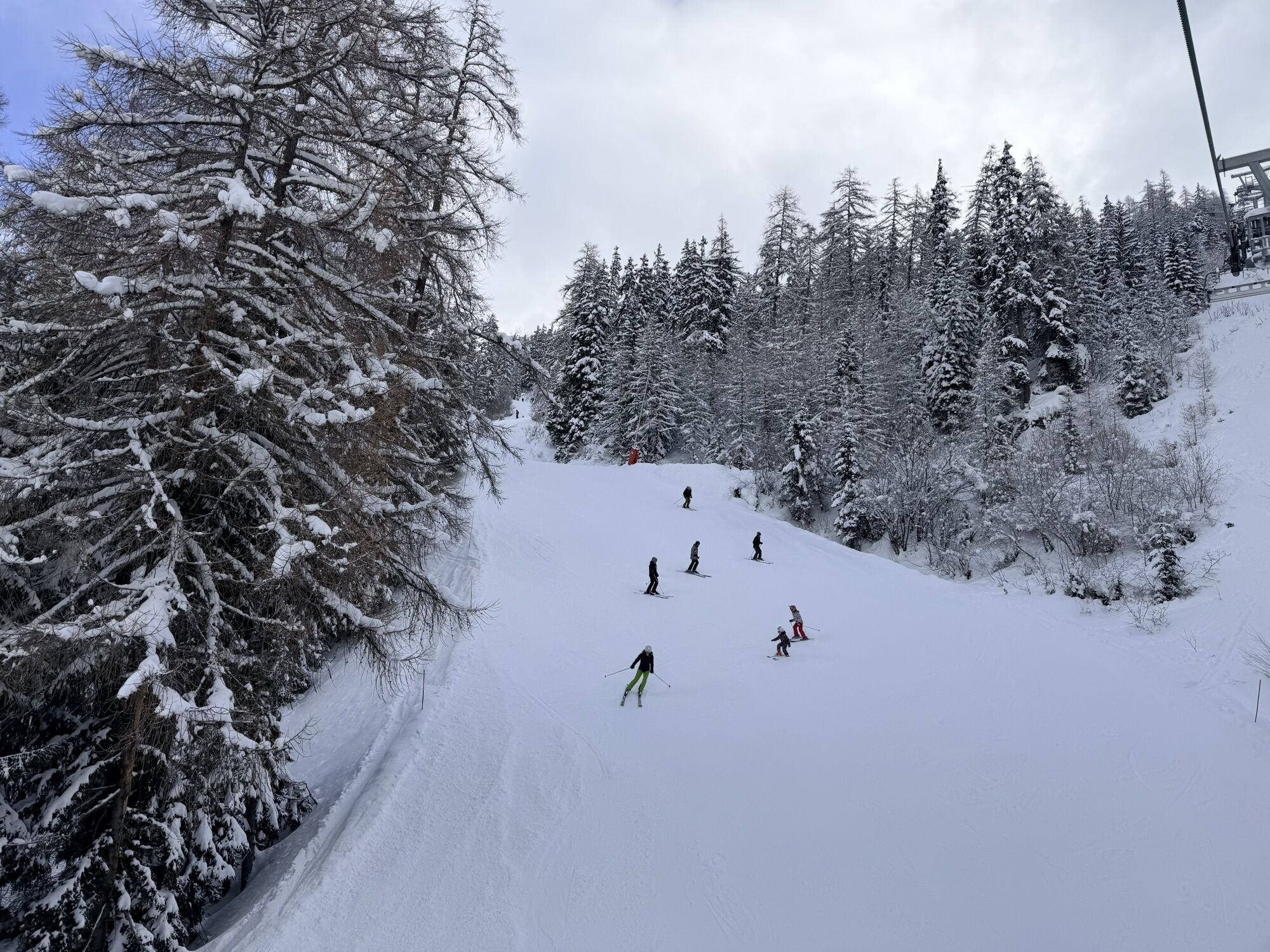
While some will enjoy basking on a sun deck, others may prefer a banquet atmosphere to enjoy a good old countryside picnic with the family. As always, the Chemin du Petit Bonheur gives you space to stop...
While some will enjoy basking on a sun deck, others may prefer a banquet atmosphere to enjoy a good old countryside picnic with the family. As always, the Chemin du Petit Bonheur gives you space to stop time and enjoy a moment of peace. Not to forget a rest at Saint-Étienne chapel, inciting you to serene contemplation. And then suddenly, you're in the forest, which gradually enfolds you in shade. The sweet fragrance of resin marks the beginning of a second stage. One after another, baroque churches and chapels appear, their understated exteriors contrasting with rich interior decorations. In the intimacy of the Drayes d'en Haut stream, the water murmurs playfully among the mosses. The ski slopes are never far away. Dotted around the resort's grassy slopes, herds of dairy cows have taken the place of skiers. As you watch them greedily graze, your own mouth waters at the thought of sampling the smooth, fruity Beaufort d'Été cheese.

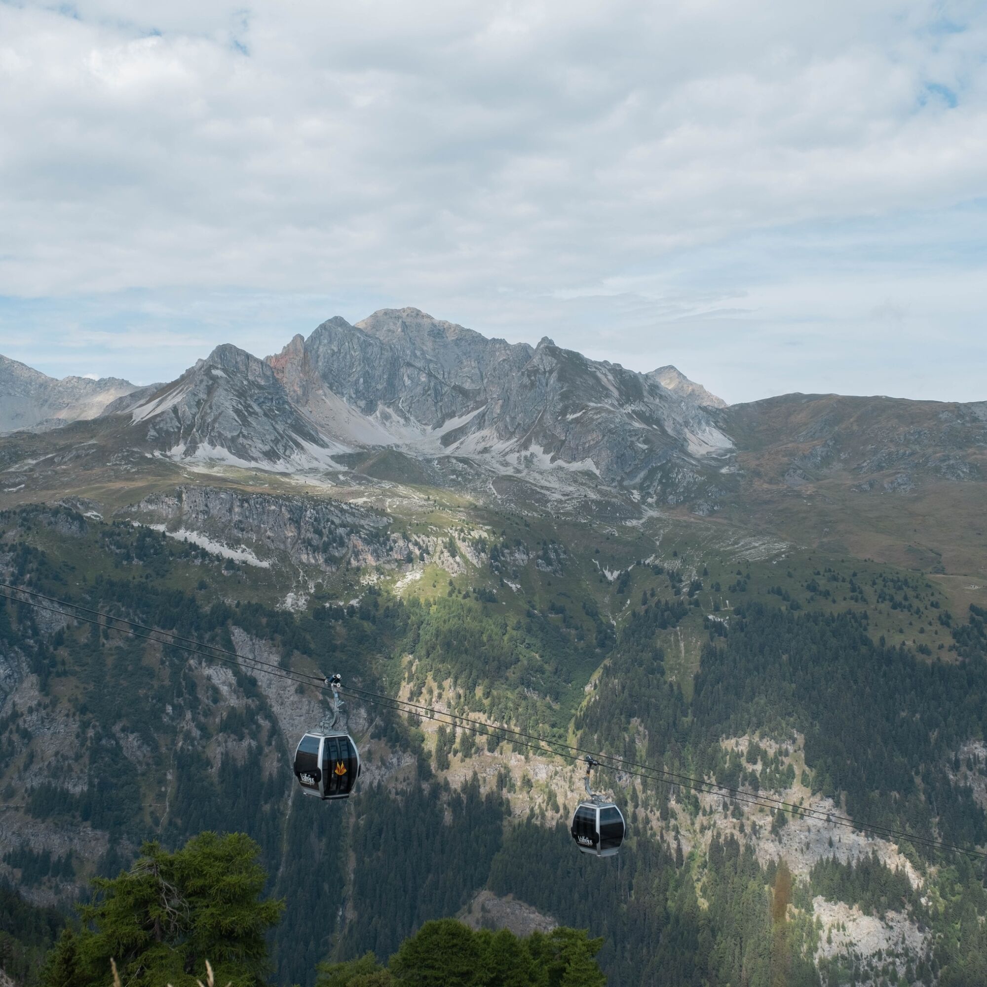

To guide you in the field, consult the "step-by-step" directional diagram provided in pdf.
As hazards may occur at any time on the routes, the GPX tracks provided are not contractual. They are given for information only. Riders use them at their own risk, depending on their level of technological proficiency and their understanding of the terrain.


Obľúbené výlety v okolí
-
4,5
Rocciamelone partedjo dalla Riposa. Mompantero, Piemont/Italien
strednáTuristika 10,6 km -
4,5
Hiking at Lake Clair
ťažkéTuristika 6,99 km -
little 'Haute-Maurienne Vanoise' circuit
ťažkéCestný bicykel 32,0 km -
The White Lake
svetloTuristika 4,42 km -
Col de l'Iseran from Modane
ťažkéCestný bicykel 59,5 km -
Col du Mont Cenis from Modane
ťažkéCestný bicykel 34,8 km -
Tour of the Bellecombe lakes
ťažkéTuristika 10,2 km -
Hike from the Avérole refuge through the hamlet
strednáTuristika 9,36 km -
5,0
Walking tour of the Plan du Lac refuge
svetloTuristika 4,58 km -
5,0
Girarde footpath
svetloTuristika 8,10 km
Turistika a stopovanie


Nenechajte si ujsť ponuky a inšpiráciu na ďalšiu dovolenku
Vaša e-mailová adresa bol pridaný do poštového zoznamu.





