







Hiking to the Cuchet refuge

Marmots' calls greet you as soon as you leave the village. Cross the Sainte-Marie stream and embark on one of the area's most beautiful approach hikes. The Pramaria woods are wonderfully cool and refreshing....
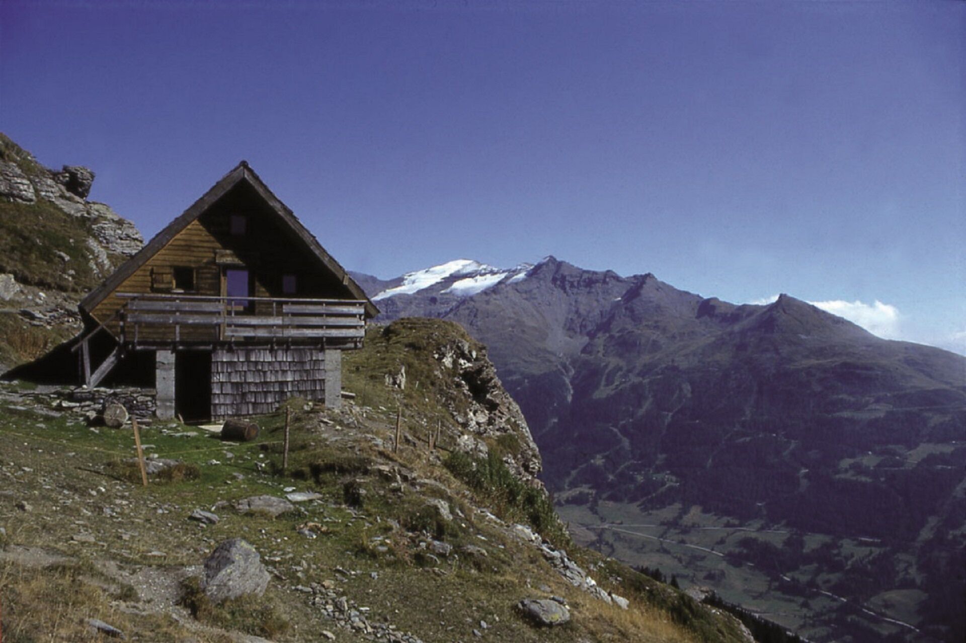
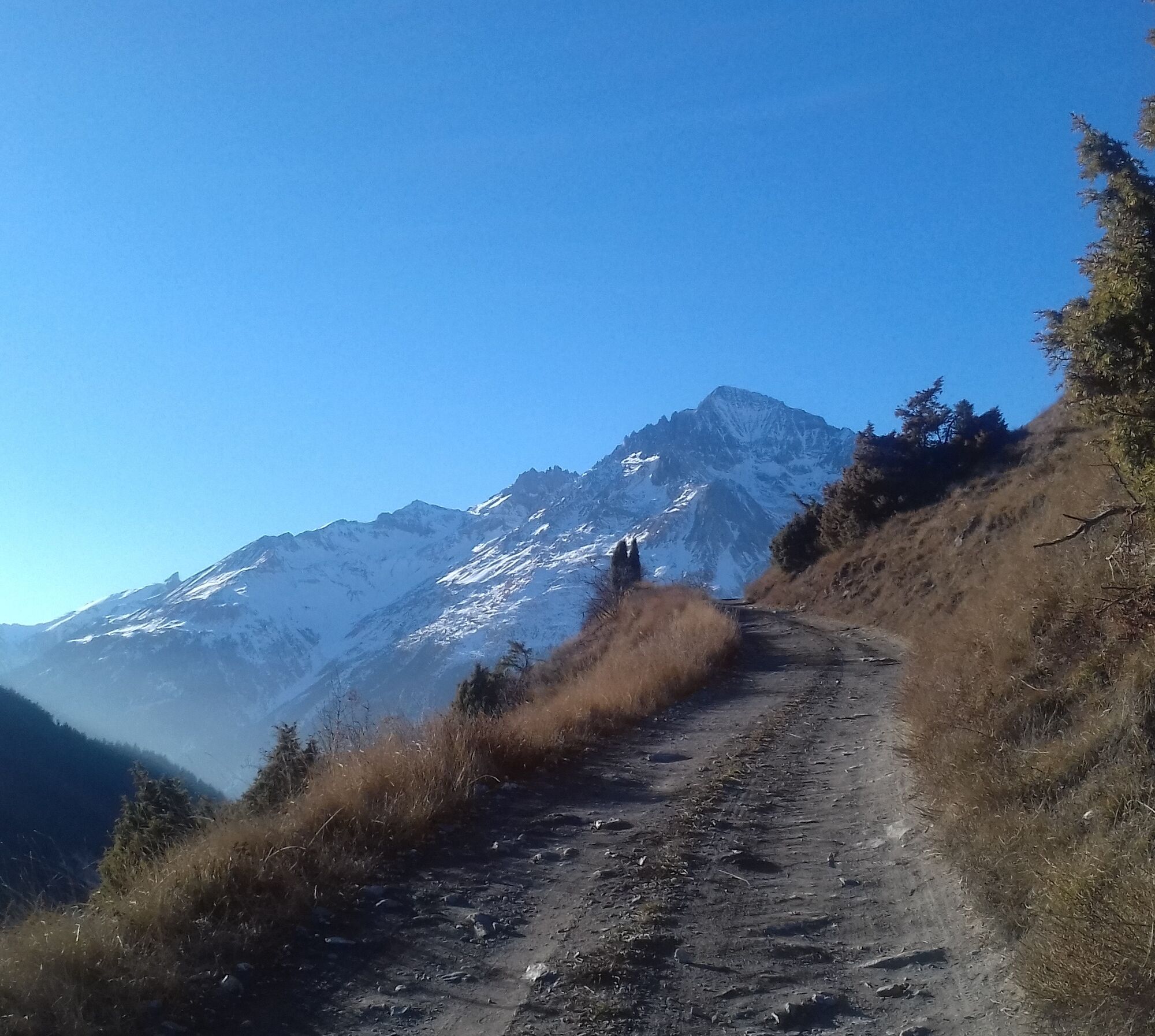
Marmots' calls greet you as soon as you leave the village. Cross the Sainte-Marie stream and embark on one of the area's most beautiful approach hikes. The Pramaria woods are wonderfully cool and refreshing. Spruce and fir trees dominate here. Can you feel the serenity? Suddenly, as if by magic, Massif du Mont Cenis rears its head on the opposite slope. When the Lombarde starts to blow, an astonishing sight often begins to unfold as clouds envelop the Col. A well-deserved food stop may tempt you to stay overnight in this unsupervised refuge. In the hamlet of Cuchet, ruins and restored chalets come together to create an authentic mountain atmosphere, showcasing traditional life in the mountain pastures. Herds, marmots, and chamois often share this living area. Sometimes, you can even spot the wings of a bearded vulture as it soars over La Turra ridge and the peak of Grand Vallon. At the fringes of Vanoise National Park, enjoy a succession of exhilirating viewpoints that'll give you wings as you make your way down a trail designed for experienced trail runners and hikers.


To guide you in the field, consult the "step-by-step" directional diagram provided in pdf.
As hazards may occur at any time on the routes, the GPX tracks provided are not contractual. They are given for information only. Riders use them at their own risk, depending on their level of technological proficiency and their understanding of the terrain.

Obľúbené výlety v okolí
-
4,5
Hiking at Lake Clair
ťažkéTuristika 6,99 km -
little 'Haute-Maurienne Vanoise' circuit
ťažkéCestný bicykel 32,0 km -
Refuge du Fond d'Aussois - a wild valley in the Vanoise - 2-day hike
svetloTuristika 9,22 km -
The White Lake
svetloTuristika 4,42 km -
Col de l'Iseran from Modane
ťažkéCestný bicykel 59,5 km -
Col du Mont Cenis from Modane
ťažkéCestný bicykel 34,8 km -
Tour of the Bellecombe lakes
ťažkéTuristika 10,2 km -
5,0
The Builder's Trail on foot
svetloTematická trasa 7,23 km -
5,0
Walking tour of the Plan du Lac refuge
svetloTuristika 4,58 km -
5,0
Girarde footpath
svetloTuristika 8,10 km
Turistika a stopovanie


Nenechajte si ujsť ponuky a inšpiráciu na ďalšiu dovolenku
Vaša e-mailová adresa bol pridaný do poštového zoznamu.





