Hiking to the Col de Sollières
stredná
Získajte túto prehliadku v mobilnom telefóne
Hiking to the Col de Sollières
stredná
Turistika
12,03
km
Naskenujte kód QR a spustite navigáciu v aplikácii bergfex


Turistika a stopovanie





Hiking to the Col de Sollières
stredná
Vzdialenosť
12,03
km
Trvanie
04:00
h
Ascent
529
hm
Hladina mora
2 098 -
2 638
m
Stiahnutie skladby
Hiking to the Col de Sollières
stredná
Turistika
12,03
km
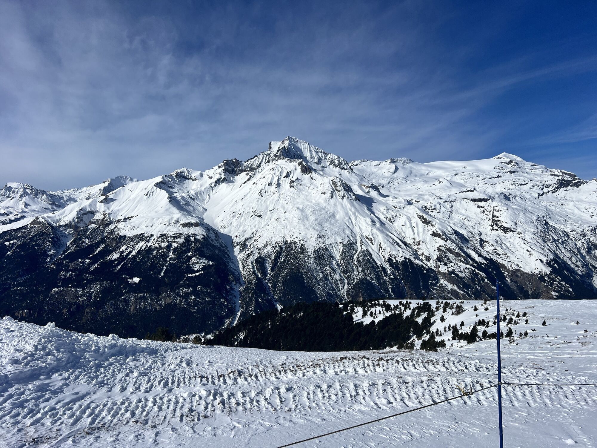
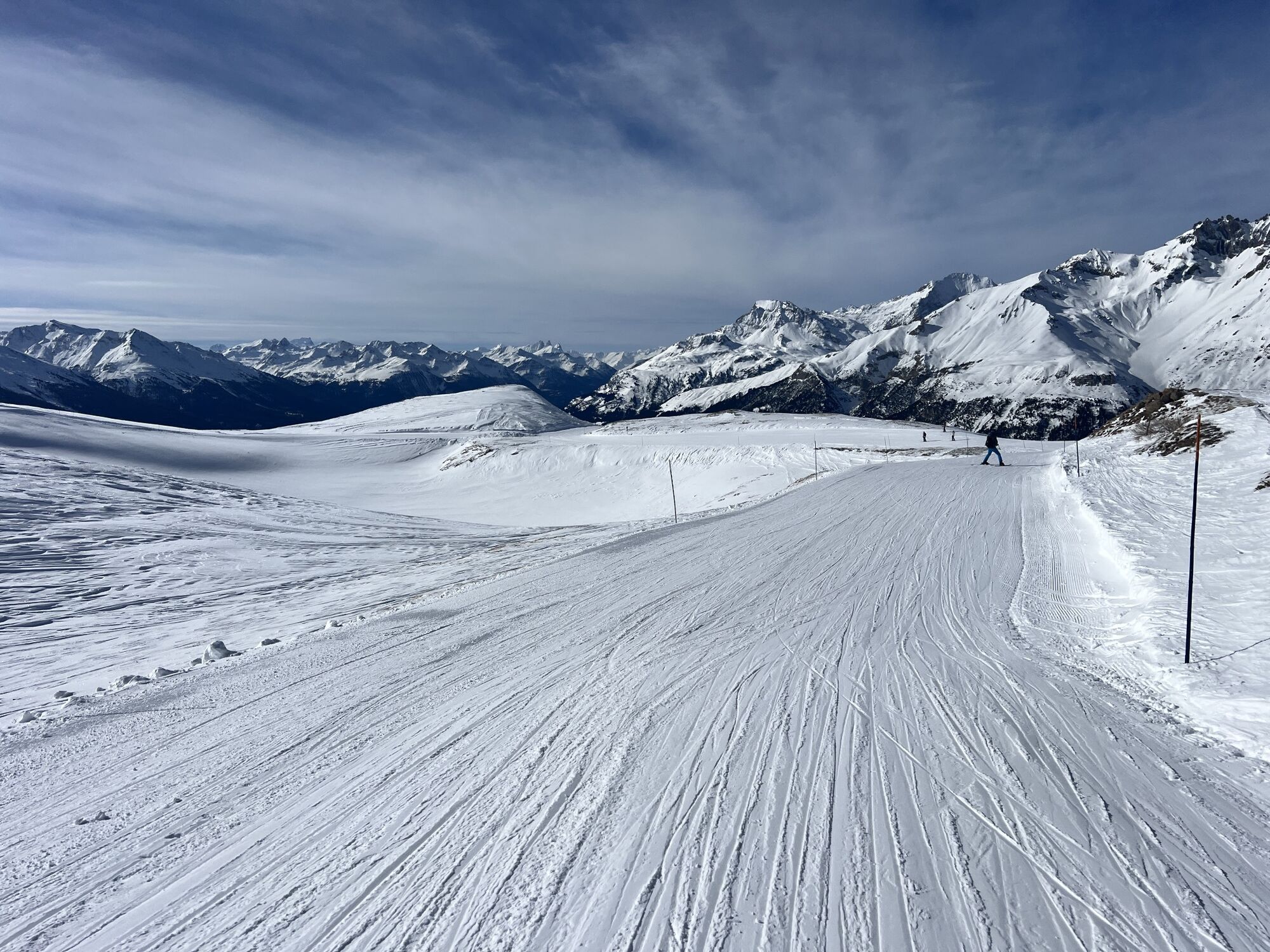
In summer, take advantage of the comfort of the lifts, as it's easier to get to the start via the Roches Blanches chairlift.
Set off to discover a high-altitude loop that will require physical strength...
Opis
In summer, take advantage of the comfort of the lifts, as it's easier to get to the start via the Roches Blanches chairlift.
Set off to discover a high-altitude loop that will require physical strength if you start directly from the village of Val Cenis Termignon. You'll be surprised by the low grassy ridges contrasting with the dense ubac forest up to the Replat des Canons.
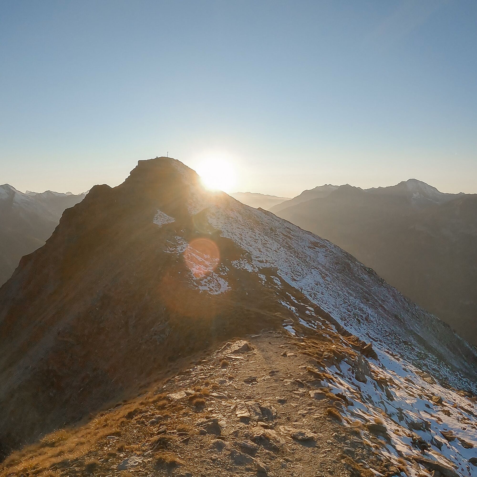
Once well underway, looking south-east, you catch a fleeting glimpse of Lac Martin, marking your entry into wilder lands. The freedom of the great outdoors awaits you. The whistling of marmots escorts you to the Col de Sollières. Perhaps you'll meet up with some seasoned trailers who've climbed from Le Cernay via Les Archettes...
The Mont froid and its steeper slopes were just waiting to seduce you from its former military fort. Share a panoramic view before threading your way under the Signal du Petit Mont Cenis for a playful descent. You'll be intoxicated by the high altitude and fresh air of the Val Cenis ski area!
Set off to discover a high-altitude loop that will require physical strength if you start directly from the village of Val Cenis Termignon. You'll be surprised by the low grassy ridges contrasting with the dense ubac forest up to the Replat des Canons.
Once well underway, looking south-east, you catch a fleeting glimpse of Lac Martin, marking your entry into wilder lands. The freedom of the great outdoors awaits you. The whistling of marmots escorts you to the Col de Sollières. Perhaps you'll meet up with some seasoned trailers who've climbed from Le Cernay via Les Archettes...
The Mont froid and its steeper slopes were just waiting to seduce you from its former military fort. Share a panoramic view before threading your way under the Signal du Petit Mont Cenis for a playful descent. You'll be intoxicated by the high altitude and fresh air of the Val Cenis ski area!
Trasa
Replat des Canons
(2 040 m)
Koridor/terén
0,0 km
Replat des Canons
(2 040 m)
Koridor/terén
12,0 km
Trasa
Hiking to the Col de Sollières
stredná
Turistika
12,03
km
Replat des Canons
(2 040 m)
Koridor/terén
0,0 km
Replat des Canons
(2 040 m)
Koridor/terén
12,0 km
Autor
Poskytuje Haute Maurienne Vanoise
Prehliadku Hiking to the Col de Sollières zabezpečuje outdooractive.com.


Informácie o trase
Trasa
To guide you in the field, consult the "step-by-step" directional diagram provided in pdf.
Ďalšie informácie a tipy
Ďalšie informácie
The duration of hiking trails is calculated using reference paces: 300 m/h ascent, 500 m/h descent and 4 km/h on the flat.
As hazards may occur at any time on the routes, the GPX tracks provided are not contractual. They are given for information only. Riders use them at their own risk, depending on their level of technological proficiency and their understanding of the terrain.
As hazards may occur at any time on the routes, the GPX tracks provided are not contractual. They are given for information only. Riders use them at their own risk, depending on their level of technological proficiency and their understanding of the terrain.
Zatiaľ žiadne recenzie
Obľúbené výlety v okolí
-
little 'Haute-Maurienne Vanoise' circuit
ťažkéCestný bicykel 32,0 km -
Refuge du Fond d'Aussois - a wild valley in the Vanoise - 2-day hike
svetloTuristika 9,22 km -
4,0
Hiking at Lake Clair
ťažkéTuristika 6,99 km -
The White Lake
svetloTuristika 4,42 km -
5,0
The Builder's Trail on foot
svetloTematická trasa 7,23 km -
Col de l'Iseran from Modane
ťažkéCestný bicykel 59,5 km -
Col du Mont Cenis from Modane
ťažkéCestný bicykel 34,8 km -
Col du Mont Cenis from Lanslebourg
ťažkéCestný bicykel 9,84 km -
5,0
Girarde footpath
svetloTuristika 8,10 km -
5,0
Goldtoni - Alpenbogen A068 Refuge de la Leisse-Termignon Val Cenis
strednádiaľková pešia trasa 28,7 km
Turistika a stopovanie

Viac ako 550.000 návrhov výletov, podrobné mapy a intuitívny plánovač trás robia z aplikácie povinnú výbavu pre všetkých nadšencov prírody.

Nenechajte si ujsť ponuky a inšpiráciu na ďalšiu dovolenku
Prihlásiť sa k odberu noviniek
Chyba
Vyskytla sa chyba. Prosím, skúste to znova.
Ďakujeme za vašu registráciu
Vaša e-mailová adresa bol pridaný do poštového zoznamu.
Zájazdy po celej Európe
Rakúsko
Švajčiarsko
Nemecko
Taliansko
Slovinsko
Francúzsko
Holandsko
Belgicko
Poľsko
Lichtenštajnsko
Česko
Slovensko
španielsko
Hrvaška
Bosna a Hercegovina
Luxembursko
Andorra
Portugalsko
Island
Spojené kráľovstvo
Írsko
Grécko
Albánsko
Severné Macedónsko
Malta
Nórsko
Čierna Hora
Moldavsko
Kosovo
Maďarsko
San Maríno
Rumunsko
Estónsko
Lotyšsko
Bielorusko
Cyprus
Litva
Srbsko
Bulharsko
Monako
Dánsko
Švédsko
Fínsko





