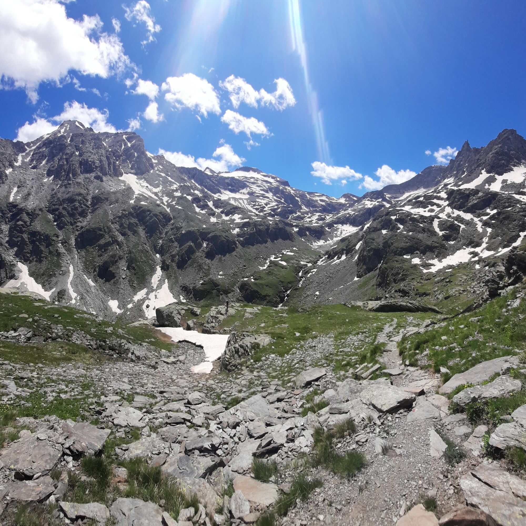
Tour de la roche d'Etache - 2-day hike
ťažké
Získajte túto prehliadku v mobilnom telefóne
Tour de la roche d'Etache - 2-day hike
ťažké
Turistika
23,59
km
Naskenujte kód QR a spustite navigáciu v aplikácii bergfex

Turistika a stopovanie


Tour de la roche d'Etache - 2-day hike
ťažké
Vzdialenosť
23,59
km
Trvanie
08:24
h
Ascent
1 220
hm
Hladina mora
1 655 -
2 933
m
Stiahnutie skladby
Tour de la roche d'Etache - 2-day hike
ťažké
Turistika
23,59
km
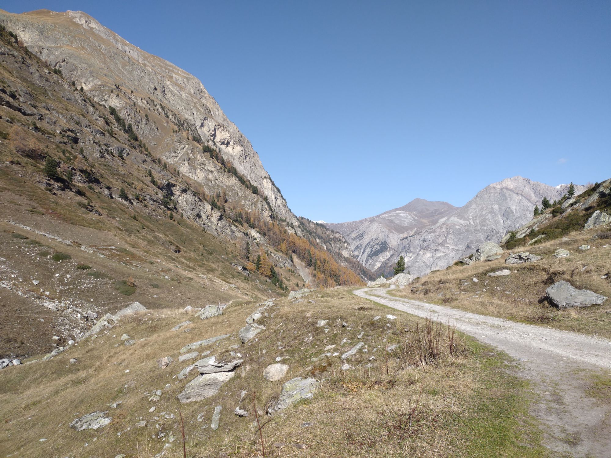
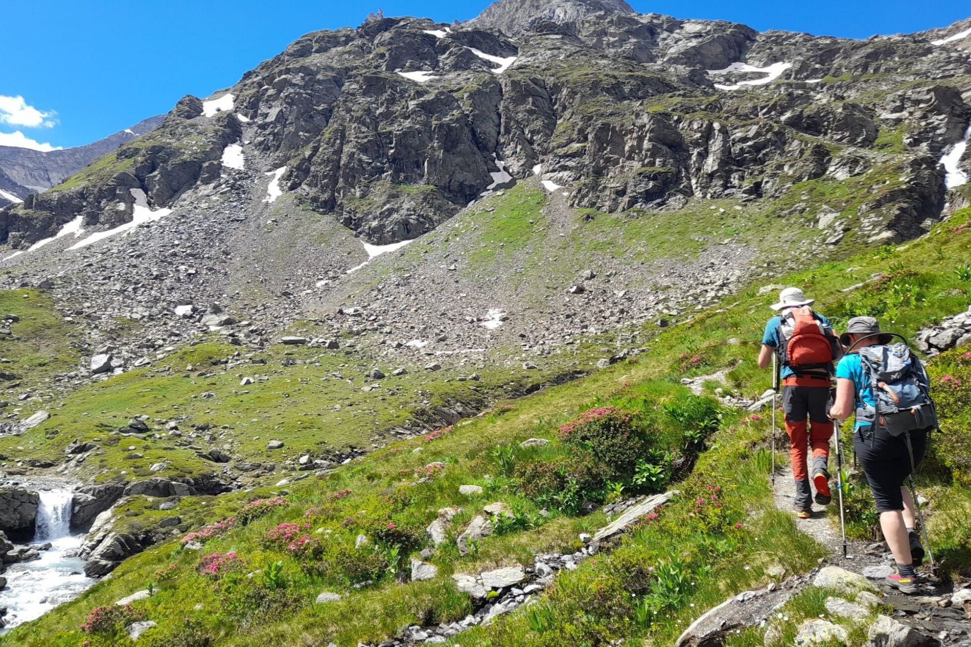
Trasa
Le Planay
(1 658 m)
Zúčtovanie
0,0 km
Le Suiffet
(1 696 m)
Zúčtovanie
0,9 km
Refuge du Suffet
(1 698 m)
Úkryt
0,9 km
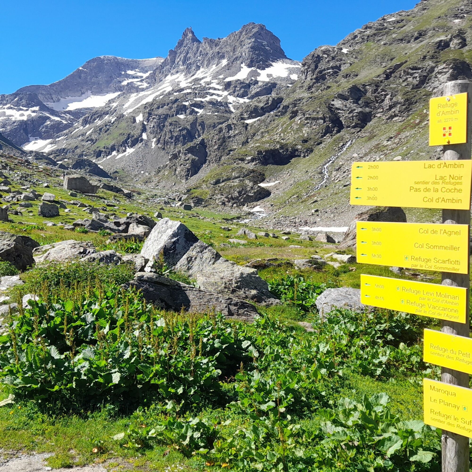
Refuge d'Ambin
(2 271 m)
Úkryt
7,4 km
Pas de la Coche
(2 969 m)
Horské sedlo
12,1 km
Plan des Eaux
(2 501 m)
Koridor/terén
15,3 km
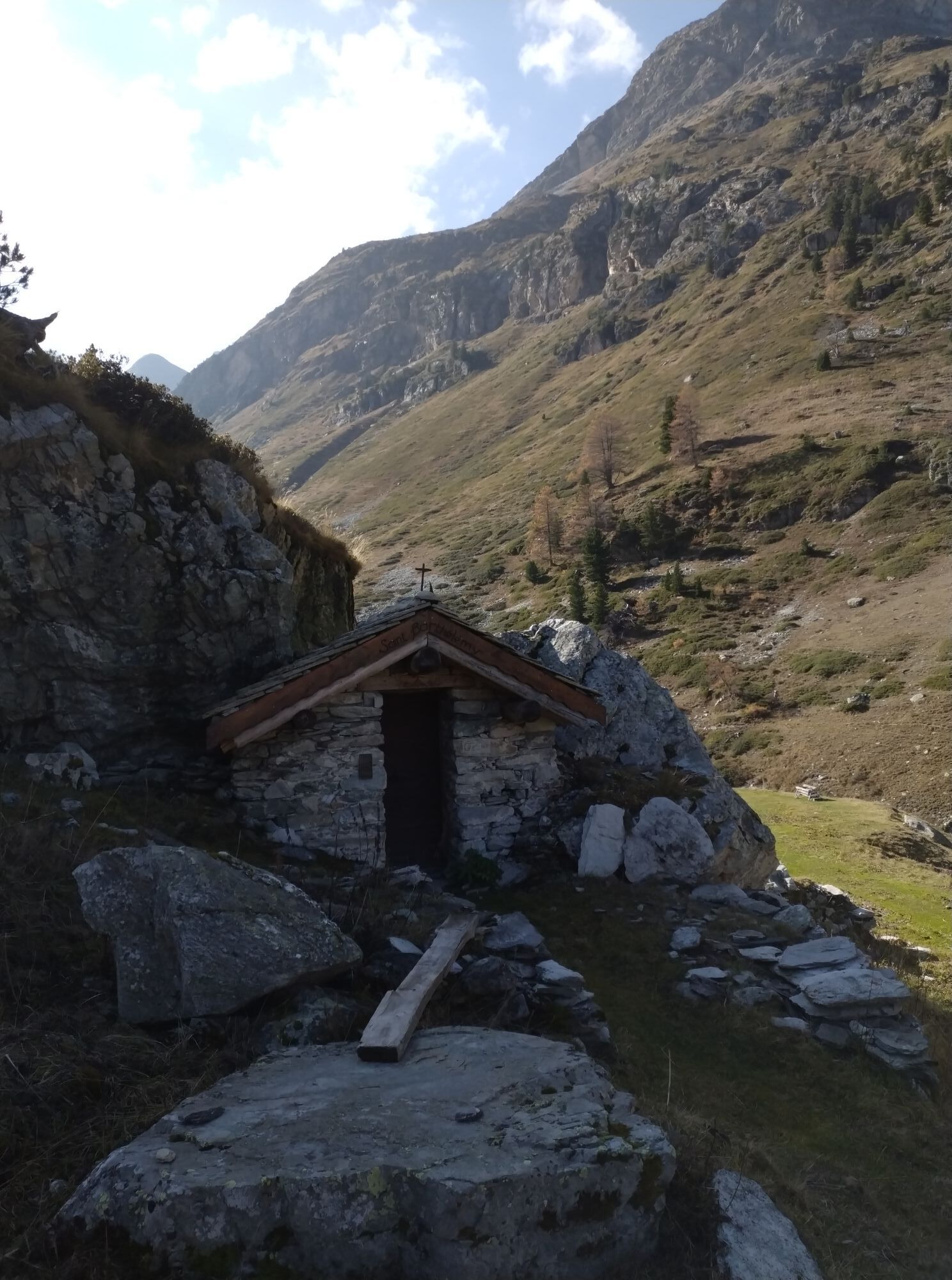
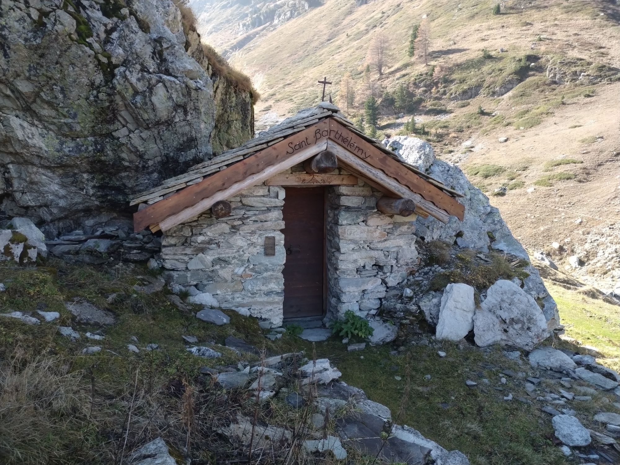
Chapelle Saint-Paul
(1 665 m)
Miesto uctievania
22,7 km
Trasa
Tour de la roche d'Etache - 2-day hike
ťažké
Turistika
23,59
km
Le Planay
(1 658 m)
Zúčtovanie
0,0 km
Le Suiffet
(1 696 m)
Zúčtovanie
0,9 km
Refuge du Suffet
(1 698 m)
Úkryt
0,9 km
La Fesse du Haut
(1 745 m)
Zúčtovanie
1,1 km
Le Plan de la Vie
(1 853 m)
Zúčtovanie
2,7 km
Refuge d'Ambin
(2 271 m)
Úkryt
7,4 km
Pas de la Coche
(2 969 m)
Horské sedlo
12,1 km
Plan d'Étache
(2 765 m)
Koridor/terén
13,2 km
Plan des Eaux
(2 501 m)
Koridor/terén
15,3 km
Chalets de la Combe d'Étache
(2 076 m)
Koridor/terén
18,0 km
Le Planay
(1 658 m)
Zúčtovanie
22,6 km
Chapelle Saint-Paul
(1 665 m)
Miesto uctievania
22,7 km
Le Suiffet
(1 696 m)
Zúčtovanie
23,5 km
Autor
Poskytuje Haute Maurienne Vanoise
Prehliadku Tour de la roche d'Etache - 2-day hike zabezpečuje outdooractive.com.

Informácie o trase
Trasa
Start: Refuge du Suffet in Val Cenis Bramans
1/ DAY 1: Refuge du Suffet (1680m) - Refuge d'Ambin (2270m) Time: 3h30 / Ascent: +590m / -90m
2/ DAY 2: Refuge d'Ambin (2270m) - Refuge du Suffet (1680m) Time: 6h30 / Ascent: +710/ -1290m
Ďalšie informácie a tipy
Ďalšie informácie
You must book your overnight stay in a refuge in advance. Stay on the trails, following the signs, and take your garbage with you.
Zatiaľ žiadne recenzie
Obľúbené výlety v okolí
-
5,0
BARDONECCHIA Colle Sommeiller
strednáMountainbike 25,4 km -
5,0
BARDONECCHIA Forte Jafferau Loop
ťažkéMountainbike 36,8 km -
5,0
BARDONECCHIA Decauville
strednáTuristika 7,29 km -
BARDONECCHIA Monte Jafferau
ťažkéTuristika 11,6 km -
little 'Haute-Maurienne Vanoise' circuit
ťažkéCestný bicykel 32,0 km -
BARDONECCHIA Rochemolles Dam - Scarfiotti Refuge
strednáTuristika 7,77 km -
4,0
BARDONECCHIA Sentiero dei Cosetti by Luciano Ferraris
svetloTuristika 3,24 km -
OULX Borgata Seu (Gran Bosco Natural Park)
svetloSnežnice 5,93 km -
BARDONECCHIA Frejusia Basins - Decauville - Rochemolles Dam
svetloMountainbike 7,54 km -
5,0
BARDONECCHIA Decauville
svetloSnežnice 4,11 km
Turistika a stopovanie

Viac ako 550.000 návrhov výletov, podrobné mapy a intuitívny plánovač trás robia z aplikácie povinnú výbavu pre všetkých nadšencov prírody.

Nenechajte si ujsť ponuky a inšpiráciu na ďalšiu dovolenku
Prihlásiť sa k odberu noviniek
Chyba
Vyskytla sa chyba. Prosím, skúste to znova.
Ďakujeme za vašu registráciu
Vaša e-mailová adresa bol pridaný do poštového zoznamu.
Zájazdy po celej Európe
Rakúsko
Švajčiarsko
Nemecko
Taliansko
Slovinsko
Francúzsko
Holandsko
Belgicko
Poľsko
Lichtenštajnsko
Česko
Slovensko
španielsko
Hrvaška
Bosna a Hercegovina
Luxembursko
Andorra
Portugalsko
Island
Spojené kráľovstvo
Írsko
Grécko
Albánsko
Severné Macedónsko
Malta
Nórsko
Čierna Hora
Moldavsko
Kosovo
Maďarsko
San Maríno
Rumunsko
Estónsko
Lotyšsko
Bielorusko
Cyprus
Litva
Srbsko
Bulharsko
Monako
Dánsko
Švédsko
Fínsko