






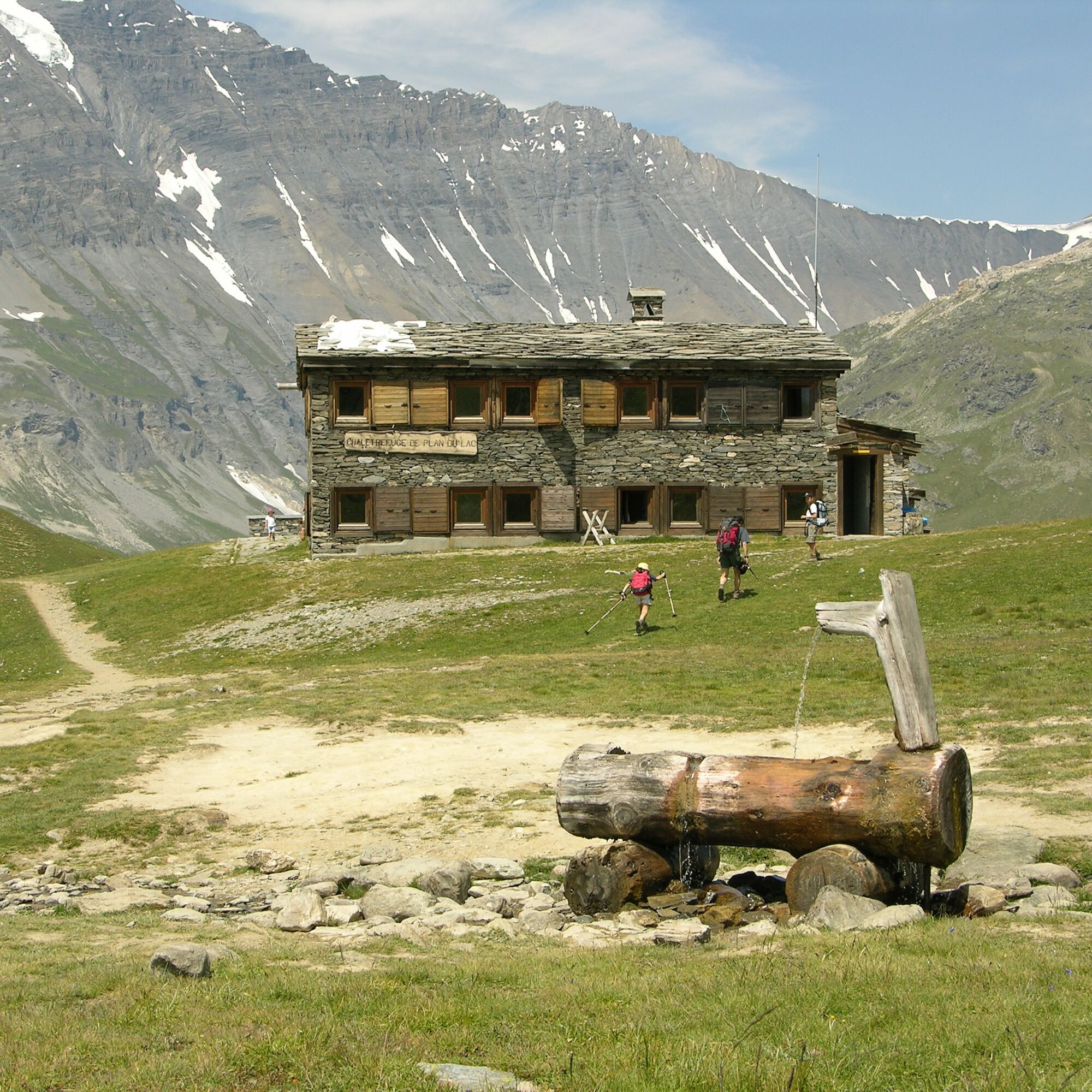
5-day Méan Martin walking tour - Stage 3 - From the Refuge de Plan du Lac to the Refuge du Fond des Fours

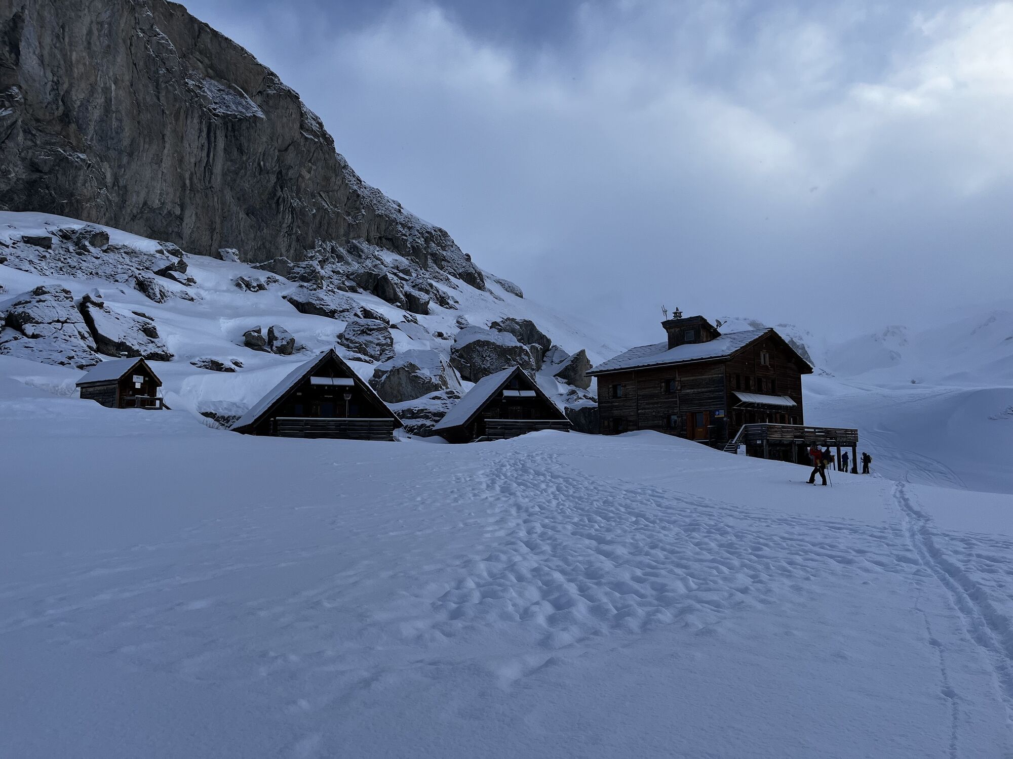
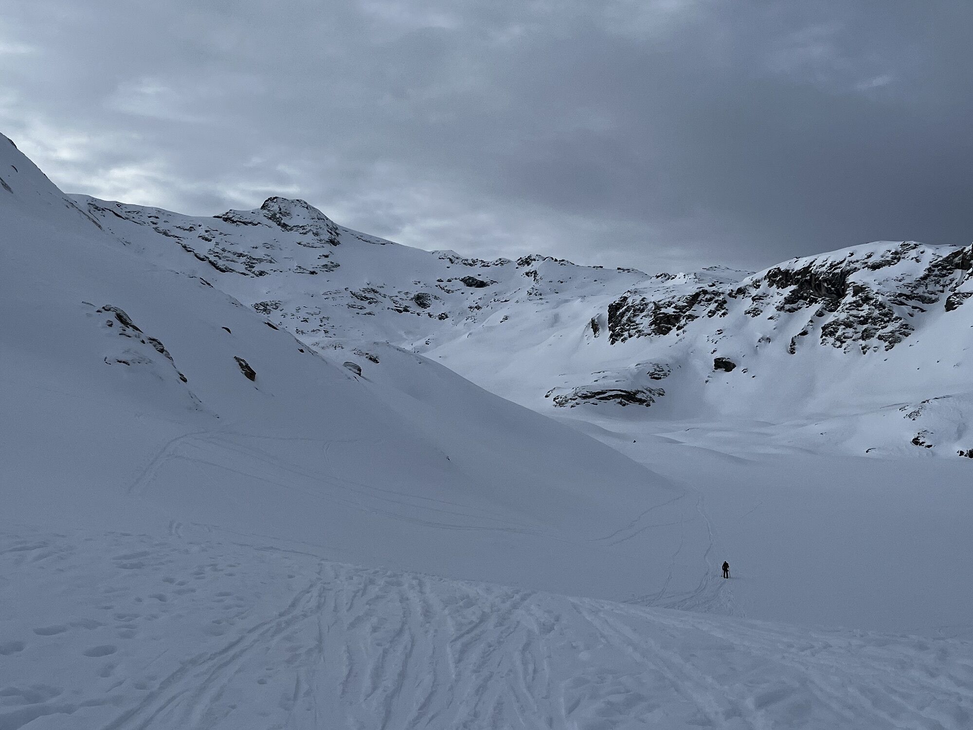
In contact with glaciers, walk in the heart of wide open spaces.
On this tour, you'll discover an extraordinary diversity
diversity of landscapes, and the fauna and flora of the Vanoise
national park.
This...
On this tour, you'll discover an extraordinary diversity
diversity of landscapes, and the fauna and flora of the Vanoise
national park.
This itinerary will be appreciated by medium-level hikers, for its long but moderately uneven stages.
Everyone will be delighted by the warm welcome and comfort of the refuges.

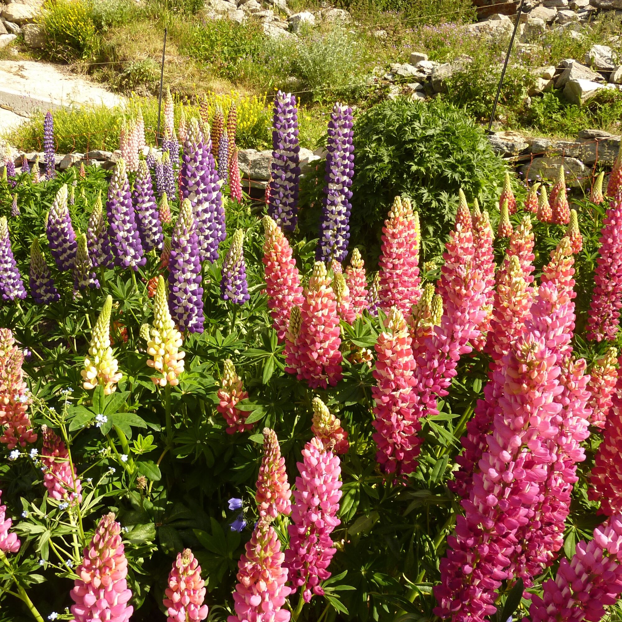
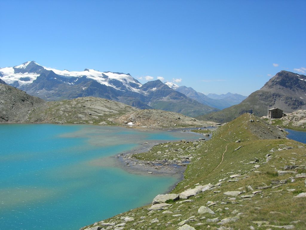
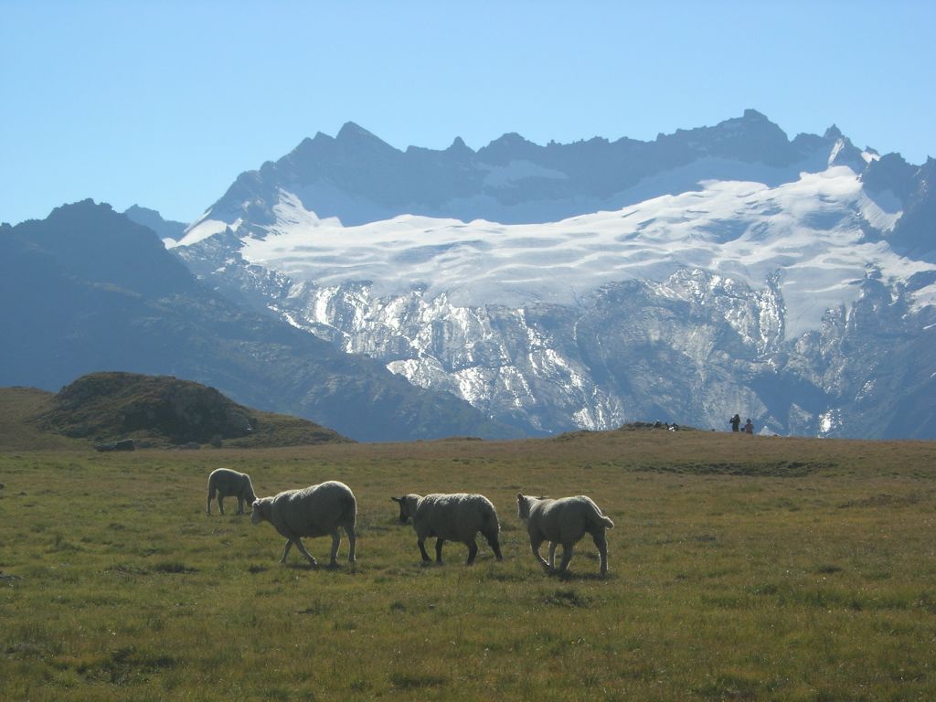
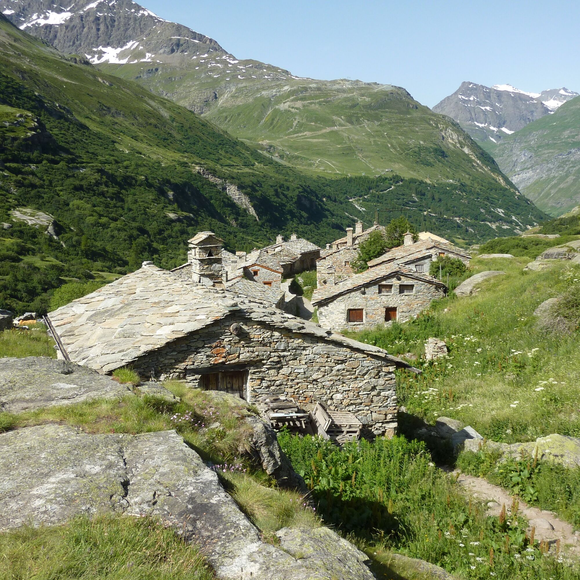
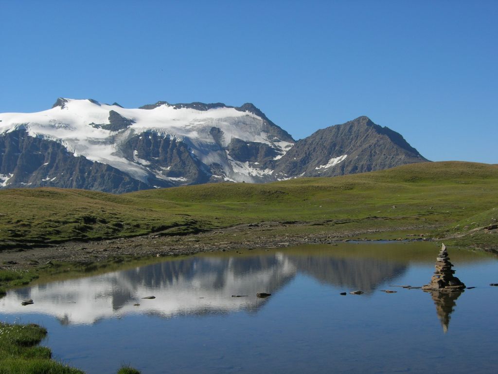
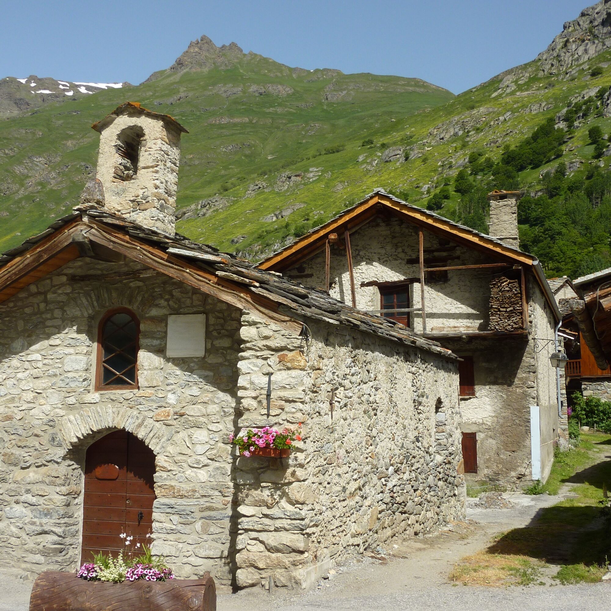

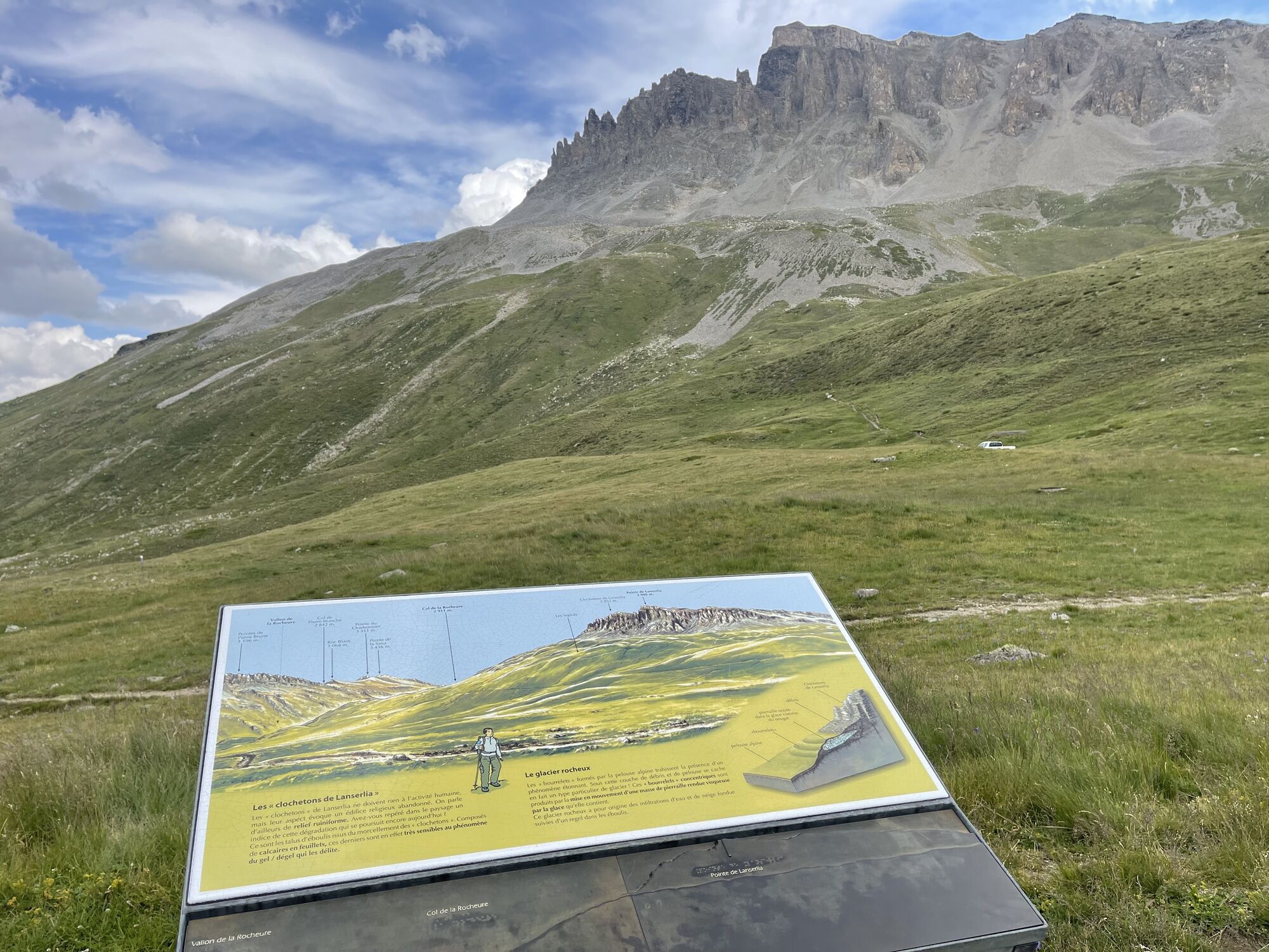
3/ Descend towards the Saint-Barthélémy chapel, then leave the GR©5 to take the path on the right, towards the Femma refuge (guarded refuge for the summer season). Climb to the Col de la Rocheure (2911m). The descent to the Fond des Fours refuge is tricky in poor visibility. In these conditions, descend through the Pissets valley to the Manchet parking lot (2000m), then climb back up to the refuge du fond des fours. Allow an extra 1h30.
You must book your overnight stay in a refuge in advance. Stay on the trails, following the signs, and take your garbage with you.
Obľúbené výlety v okolí
-
4,5
Hiking at Lake Clair
ťažkéTuristika 6,99 km -
little 'Haute-Maurienne Vanoise' circuit
ťažkéCestný bicykel 32,0 km -
The White Lake
svetloTuristika 4,42 km -
Col de l'Iseran from Modane
ťažkéCestný bicykel 59,5 km -
Col du Mont Cenis from Modane
ťažkéCestný bicykel 34,8 km -
Tour of the Bellecombe lakes
ťažkéTuristika 10,2 km -
Hike from the Avérole refuge through the hamlet
strednáTuristika 9,36 km -
5,0
Walking tour of the Plan du Lac refuge
svetloTuristika 4,58 km -
5,0
Girarde footpath
svetloTuristika 8,10 km -
Col du Mont Cenis from Lanslebourg
ťažkéCestný bicykel 9,84 km
Turistika a stopovanie


Nenechajte si ujsť ponuky a inšpiráciu na ďalšiu dovolenku
Vaša e-mailová adresa bol pridaný do poštového zoznamu.





