


Albtraufgänger
Úroveň náročnosti: T2
Fotografie našich používateľov
-
 © Wanderbursche66Vytvorené dňa 03.05.2026
 -

 © Michael Müller 62Vytvorené dňa 18.04.2026
 -
 © Michael Müller 62Vytvorené dňa 18.04.2026
 -
 © Michael Müller 62Vytvorené dňa 18.04.2026
 -

 © Ralf UmmingerVytvorené dňa 28.02.2026
 -
 © Thomas Köhler 2Vytvorené dňa 02.04.2025
 -
 © Thomas Köhler 2Vytvorené dňa 02.04.2025
 -
 © Thomas Köhler 2Vytvorené dňa 02.04.2025
 -
 © Thomas Köhler 2Vytvorené dňa 02.04.2025
 -
 © Thomas Köhler 2Vytvorené dňa 02.04.2025
 -
 © Thomas Köhler 2Vytvorené dňa 02.04.2025
 -
 © Sylvia W.Vytvorené dňa 02.02.2025
 -

 © Hermann E.Vytvorené dňa 09.09.2023
 -
 © GeorgStockburgerVytvorené dňa 09.05.2021
 -

 © Ulrike Dreher-KockVytvorené dňa 19.04.2020
 -
 © Ulrike Dreher-KockVytvorené dňa 19.04.2020
 -

 © Django BoschVytvorené dňa 23.08.2025
 -
 © pakitaVytvorené dňa 05.09.2023
 -
 © MichaelVytvorené dňa 13.05.2026
 -
 © MichaelVytvorené dňa 13.05.2026
 -
 © MichaelVytvorené dňa 13.05.2026
 -
 © MichaelVytvorené dňa 13.05.2026
 -
 © MichaelVytvorené dňa 13.05.2026
 -
 © MichaelVytvorené dňa 13.05.2026
 -
 © MichaelVytvorené dňa 13.05.2026
 -
 © MichaelVytvorené dňa 02.05.2026
 -
 © MichaelVytvorené dňa 02.05.2026
 -
 © Django BoschVytvorené dňa 20.09.2025
 -
 © Django BoschVytvorené dňa 24.08.2025
 -
 © Django BoschVytvorené dňa 23.08.2025
 -
 © Django BoschVytvorené dňa 22.08.2025
 -
 © Django BoschVytvorené dňa 09.08.2025


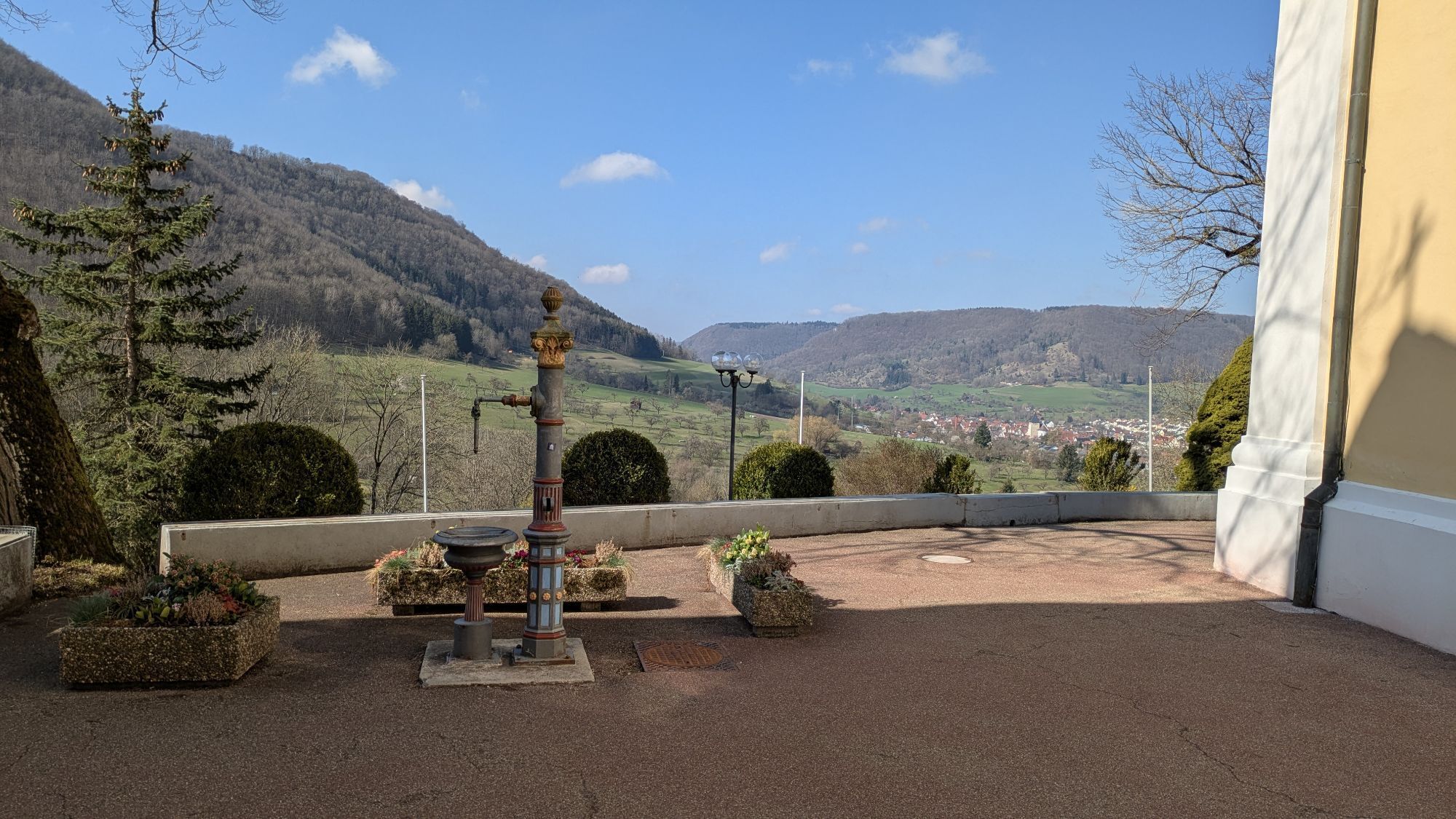


The Albtraufgänger is a certified quality hiking trail and "Leading Quality Trail" that opens up the Swabian Albtrauf adventure region in an impressive way. The starting and finishing point is the Residential...
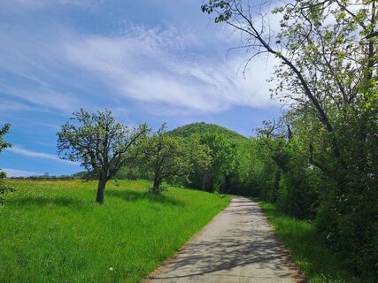
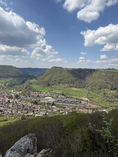
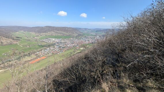
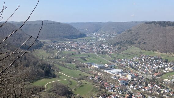
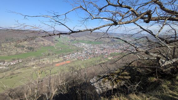
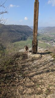
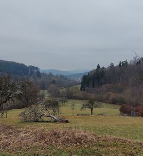
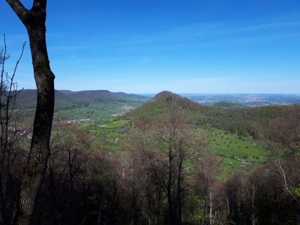
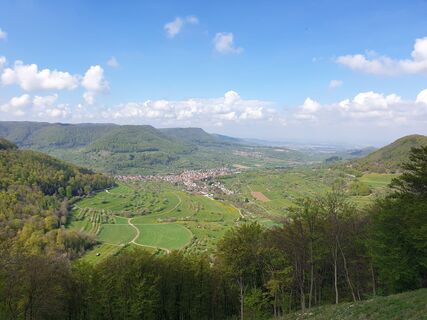
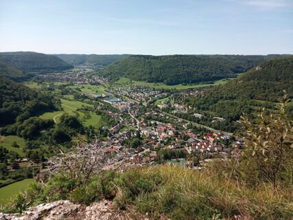
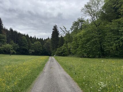
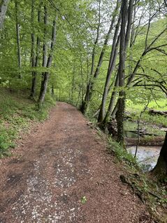
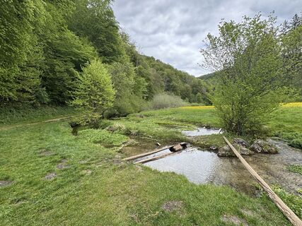
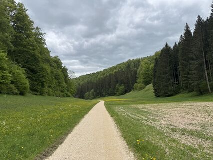
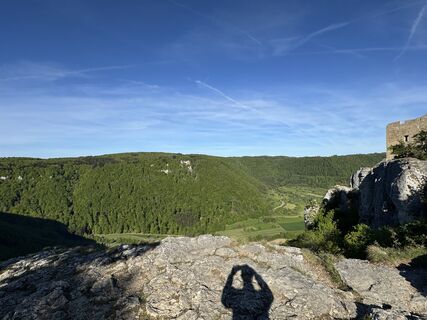
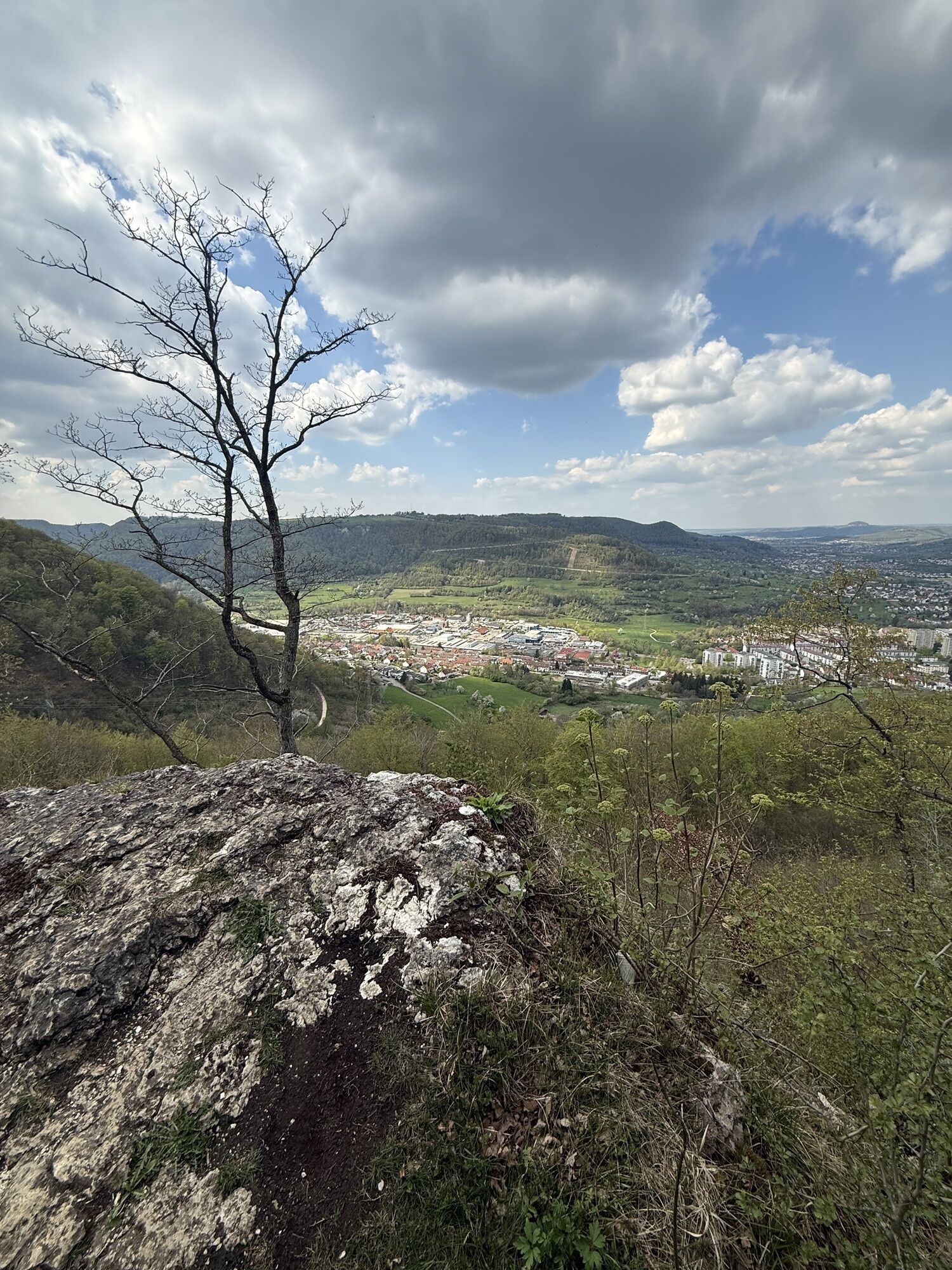
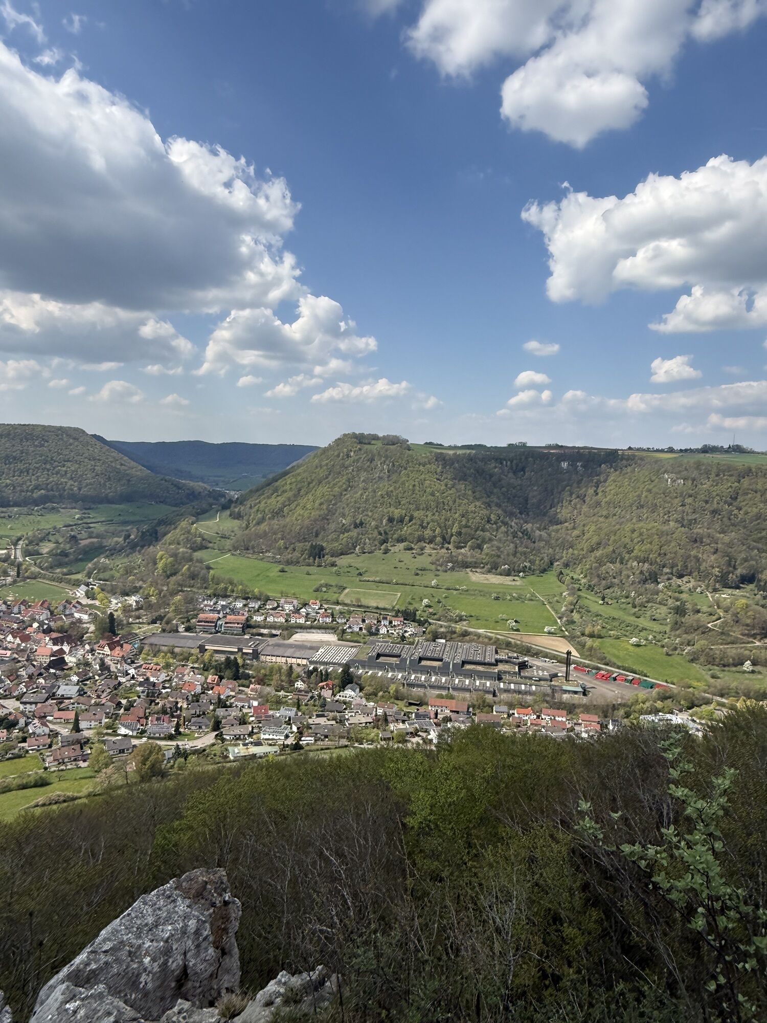
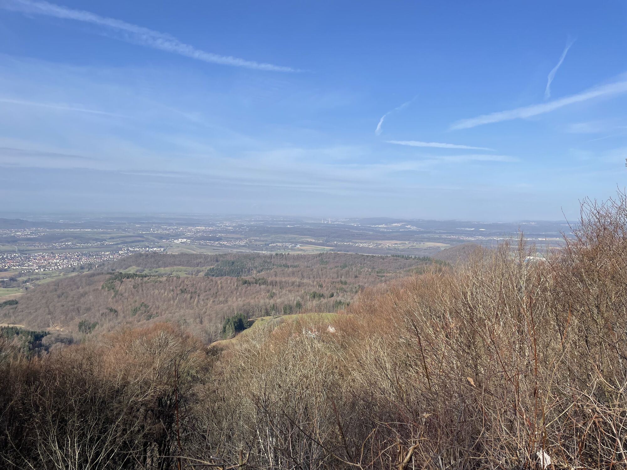
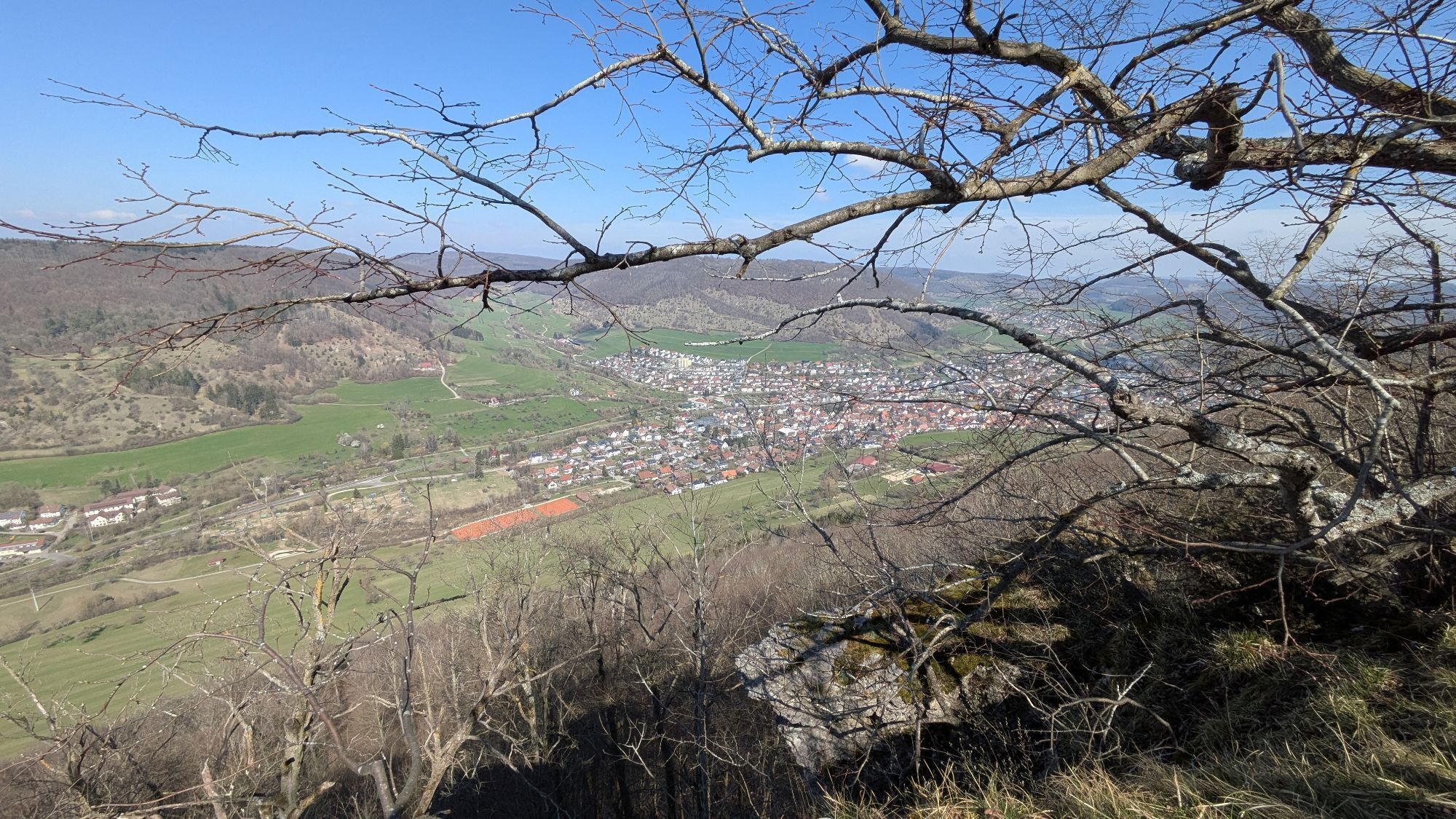
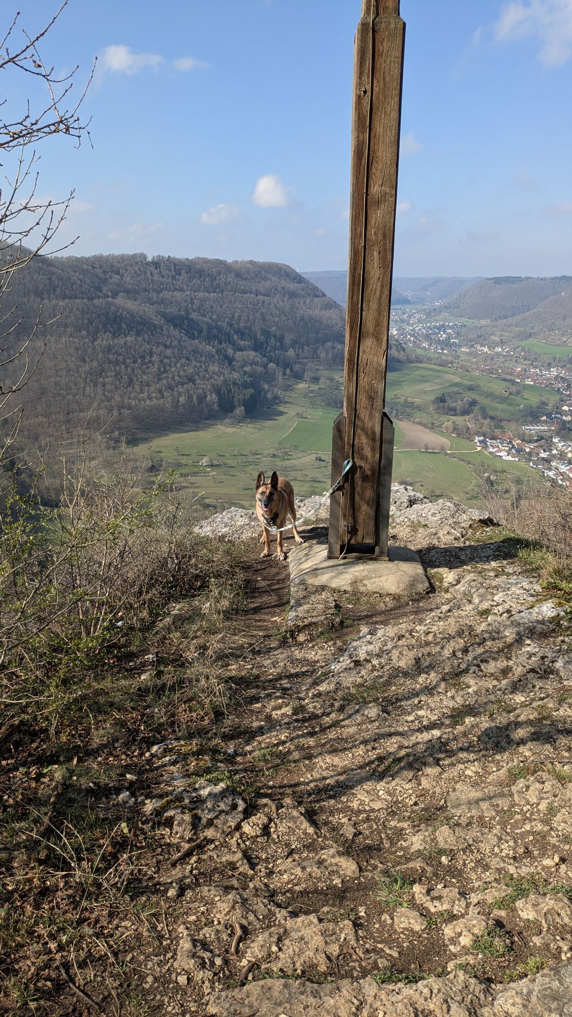
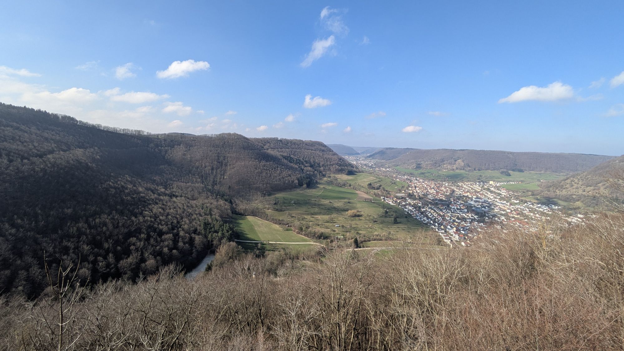
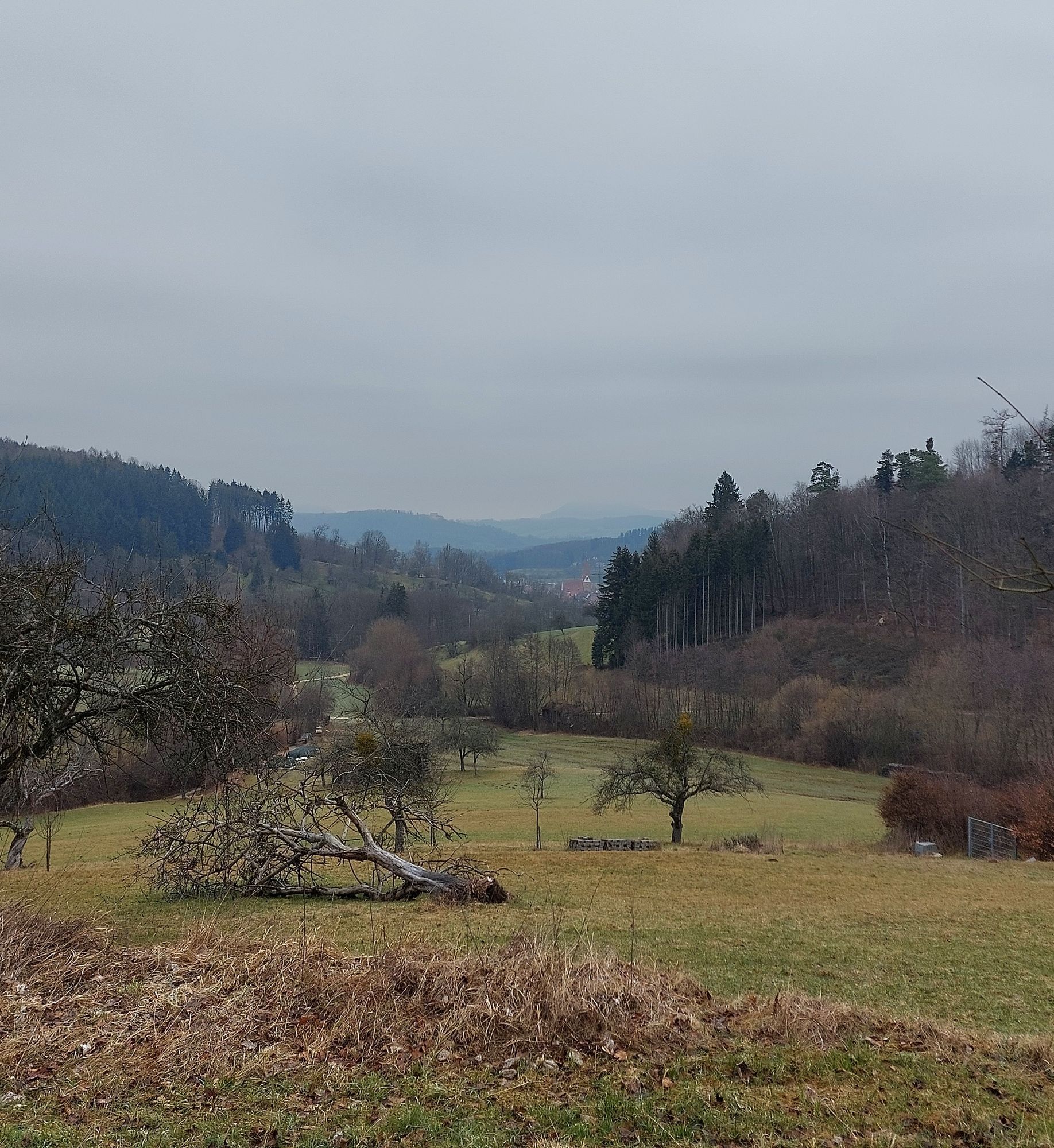
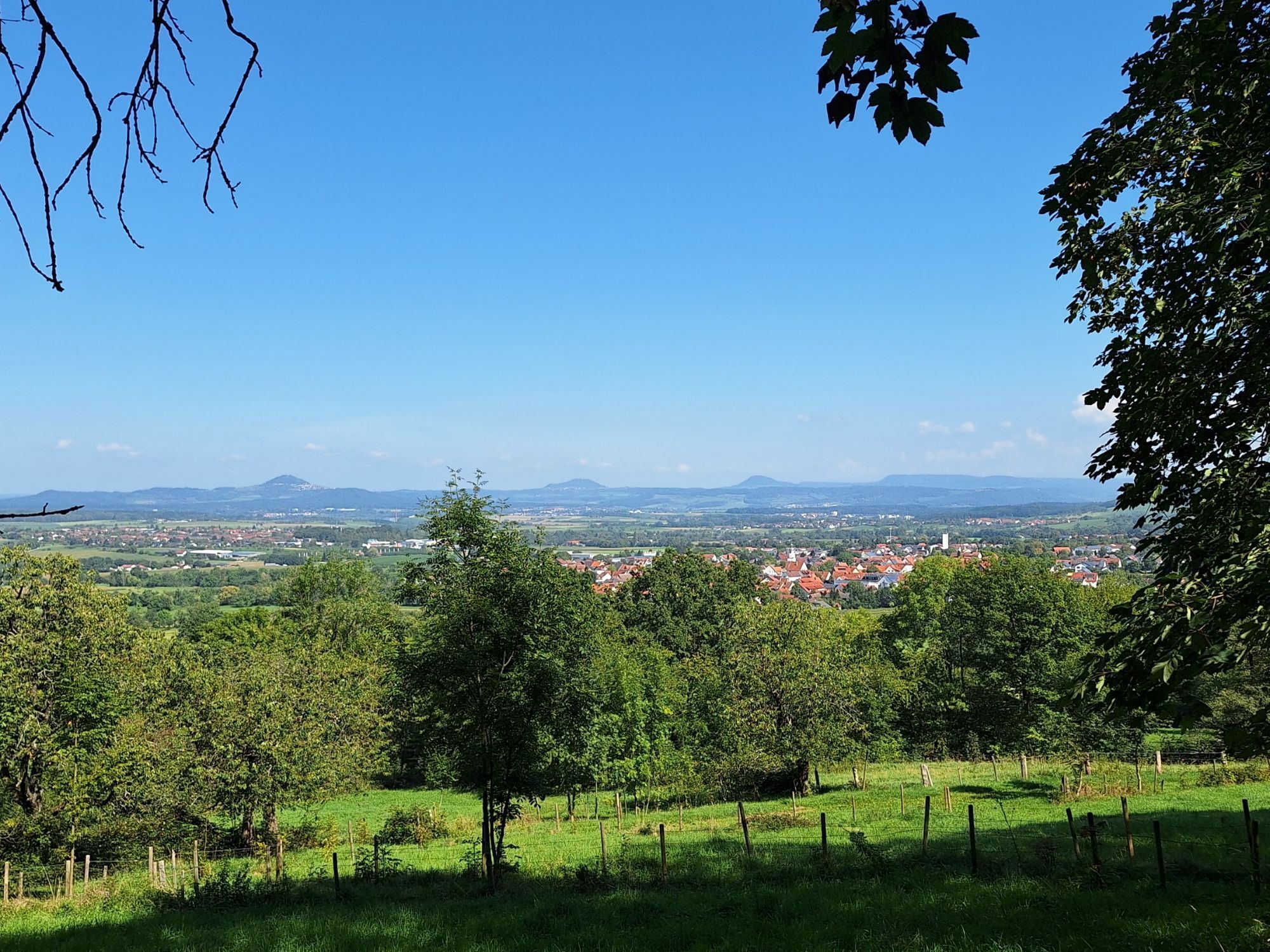
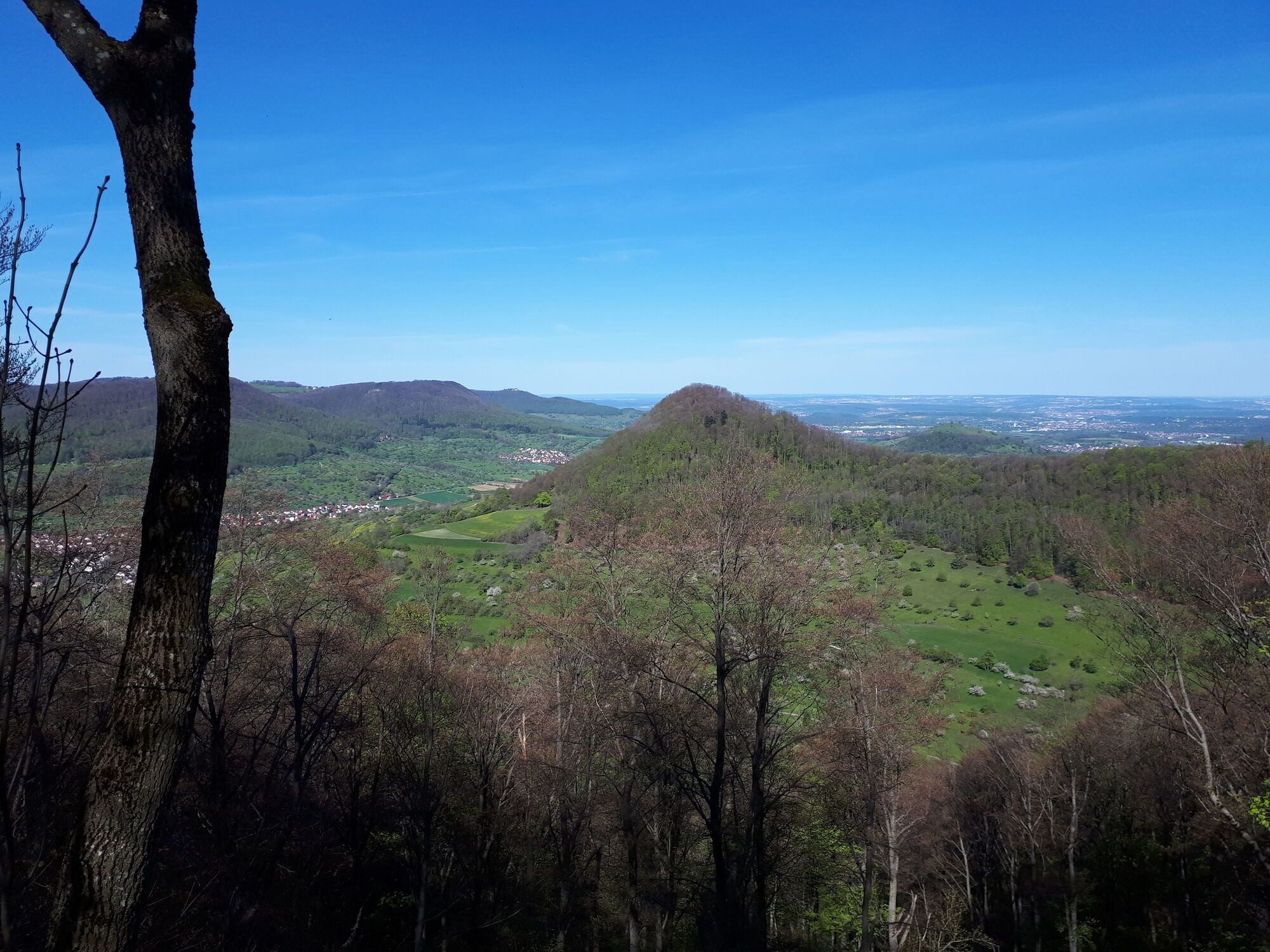
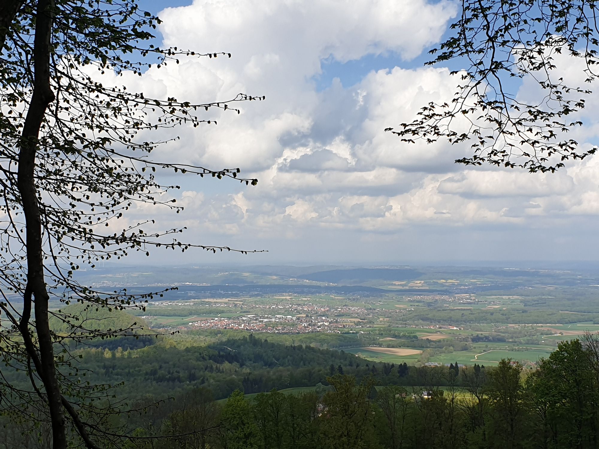
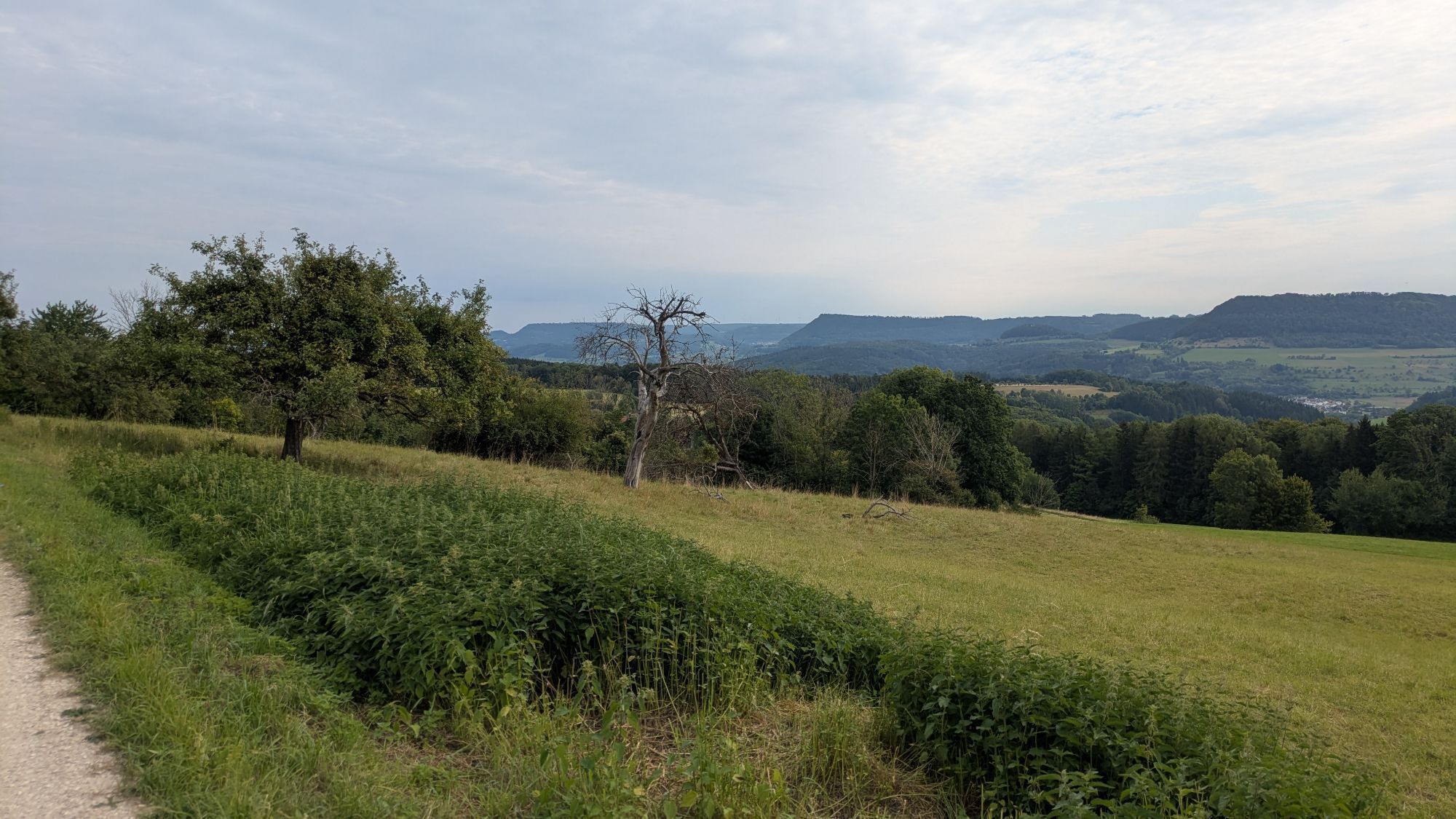
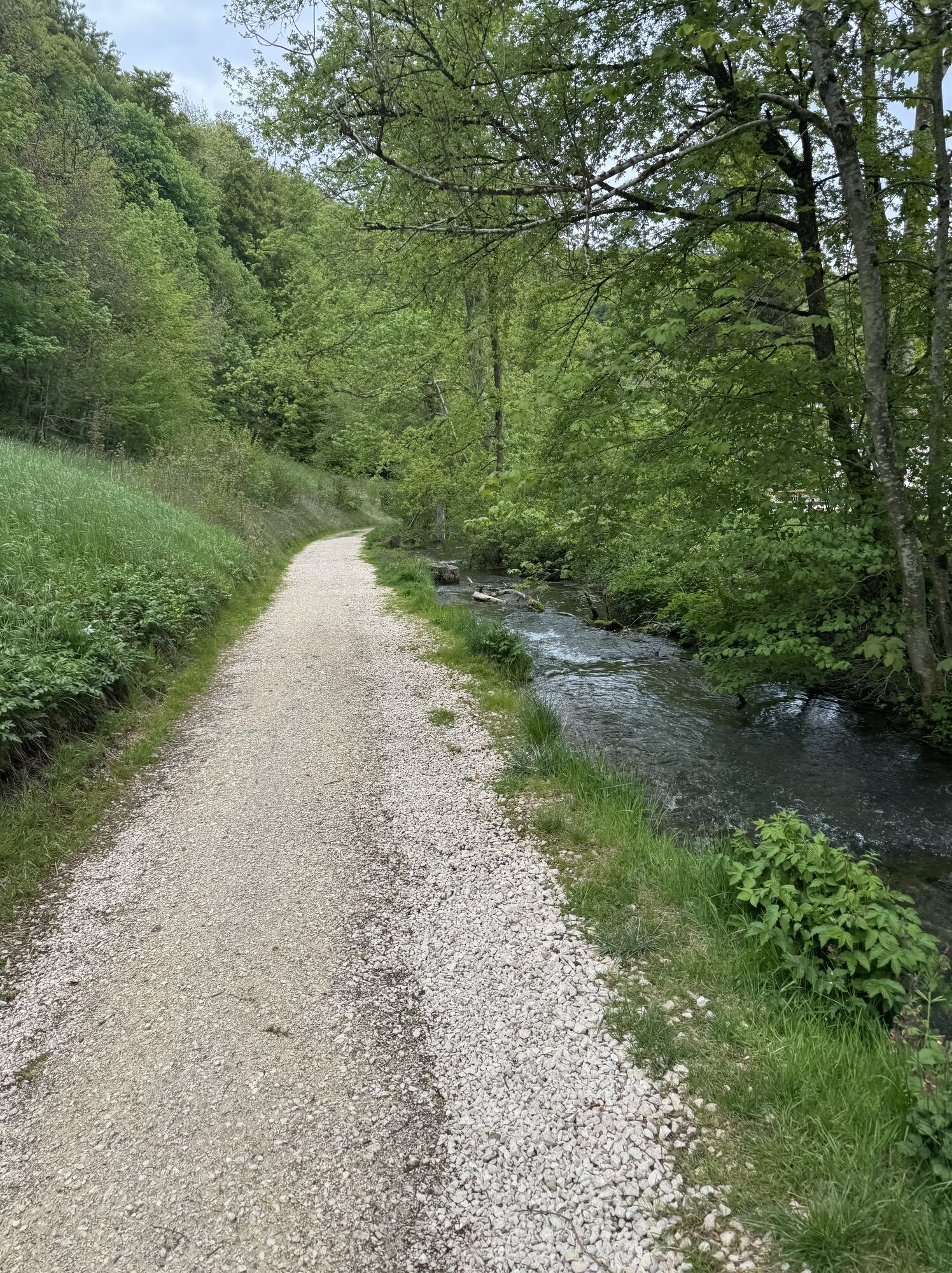
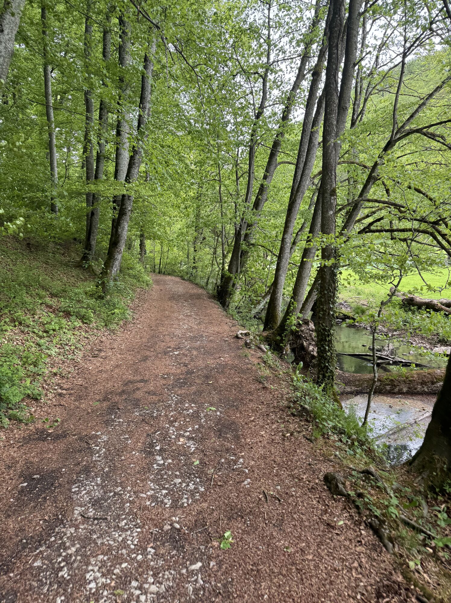
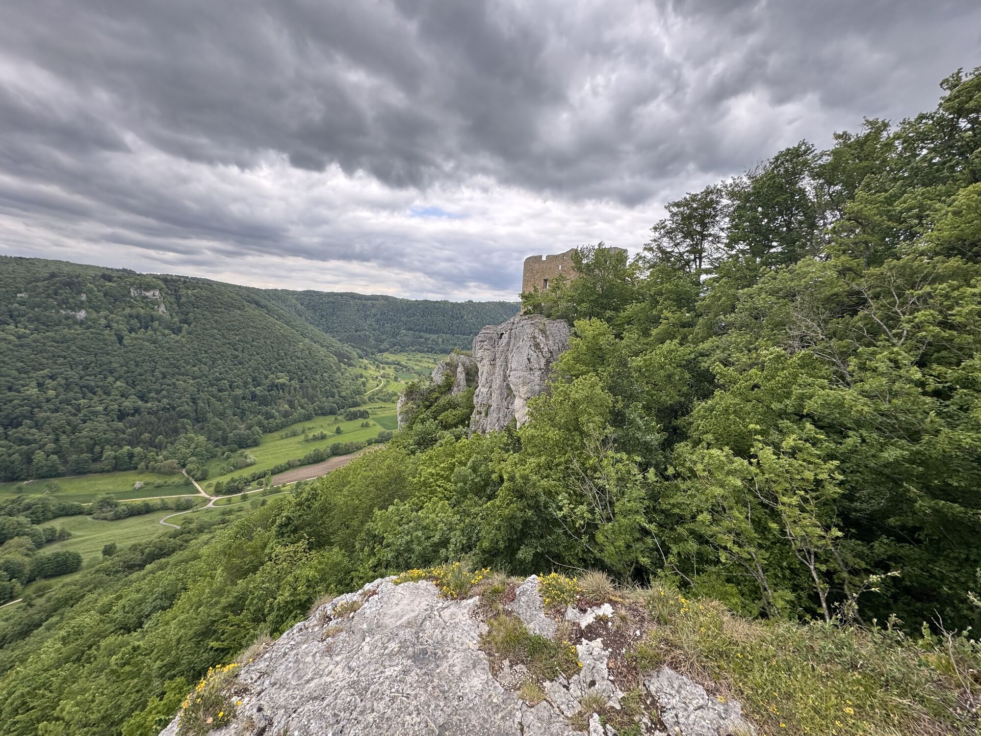
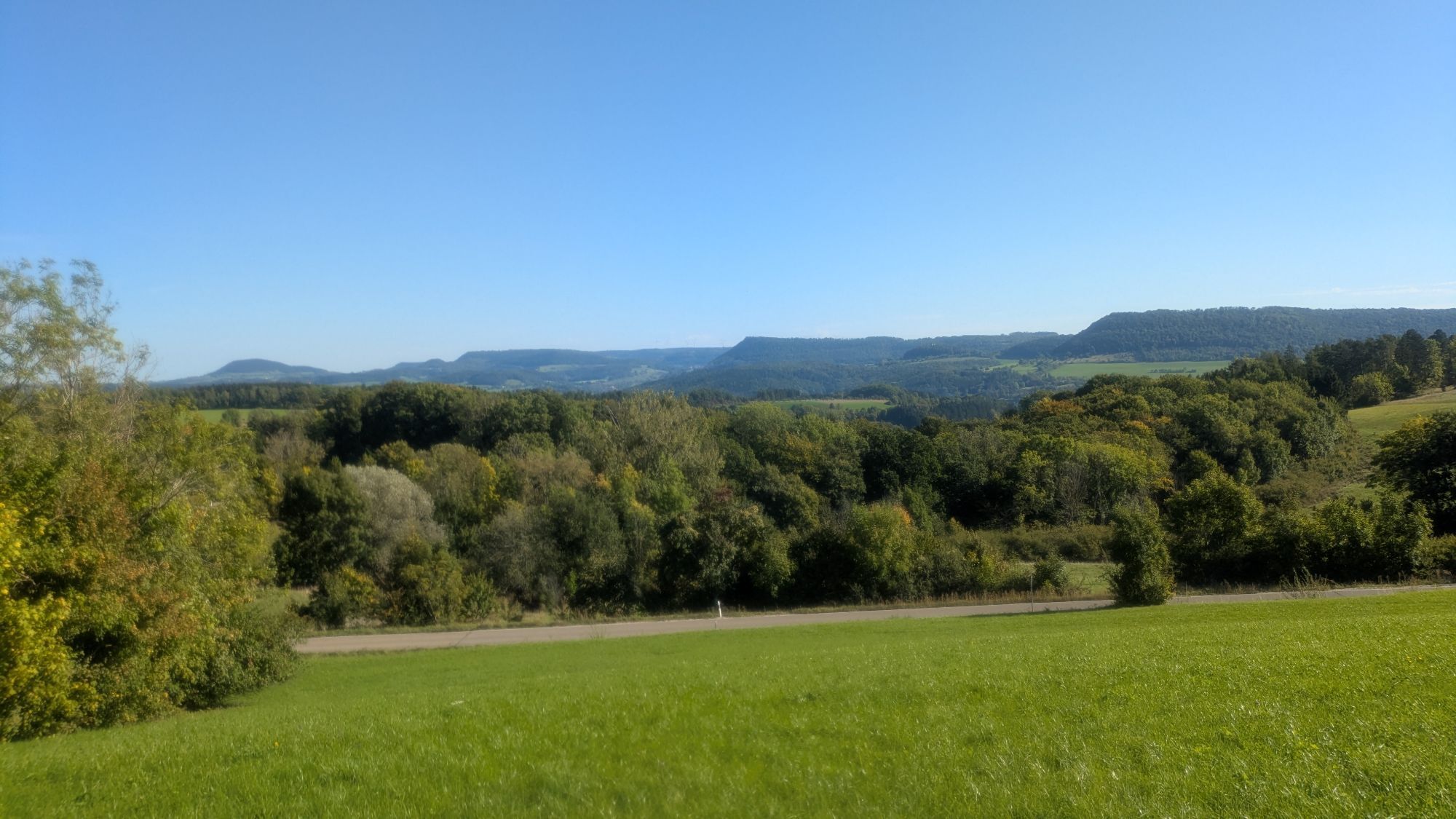
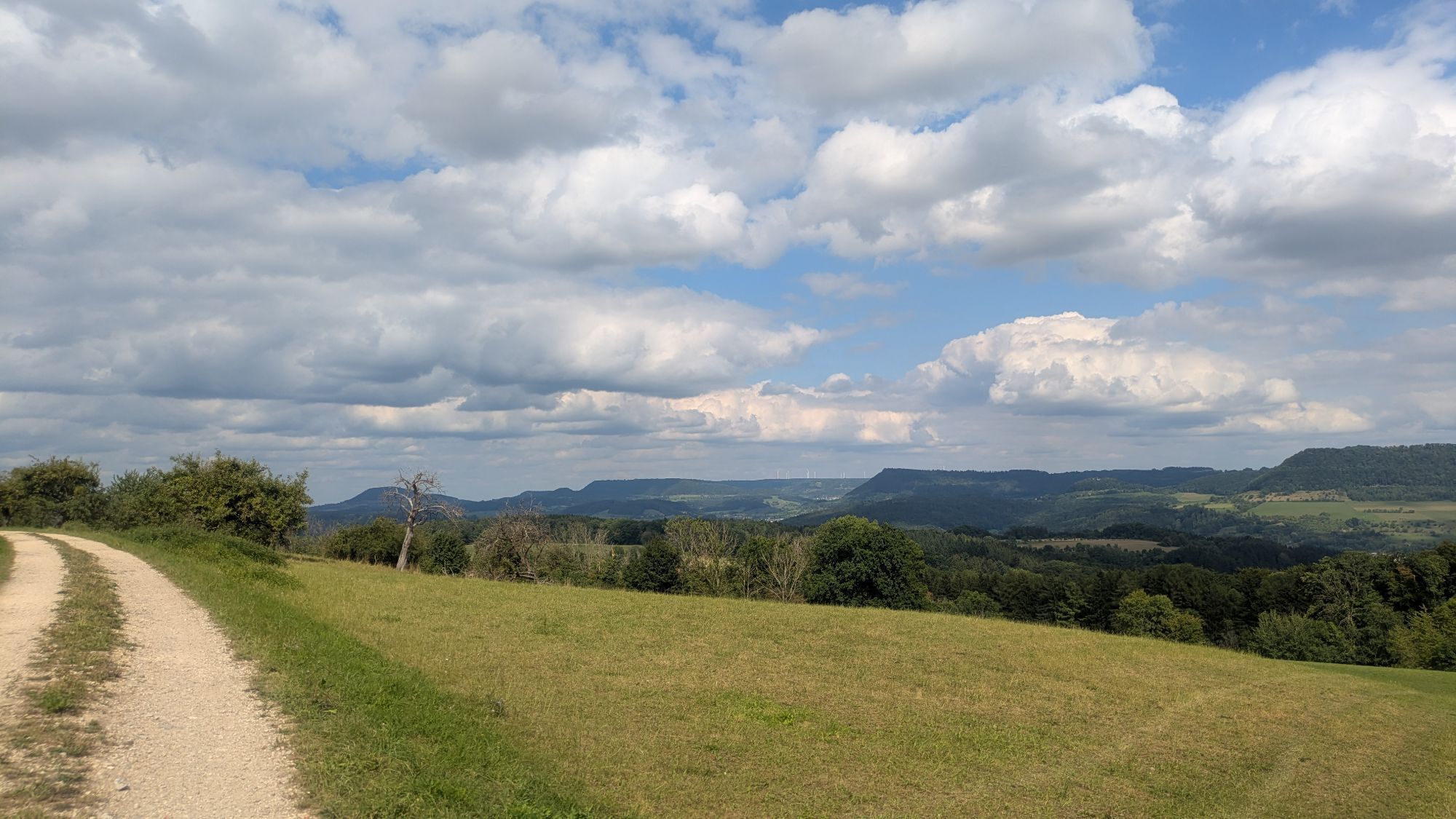
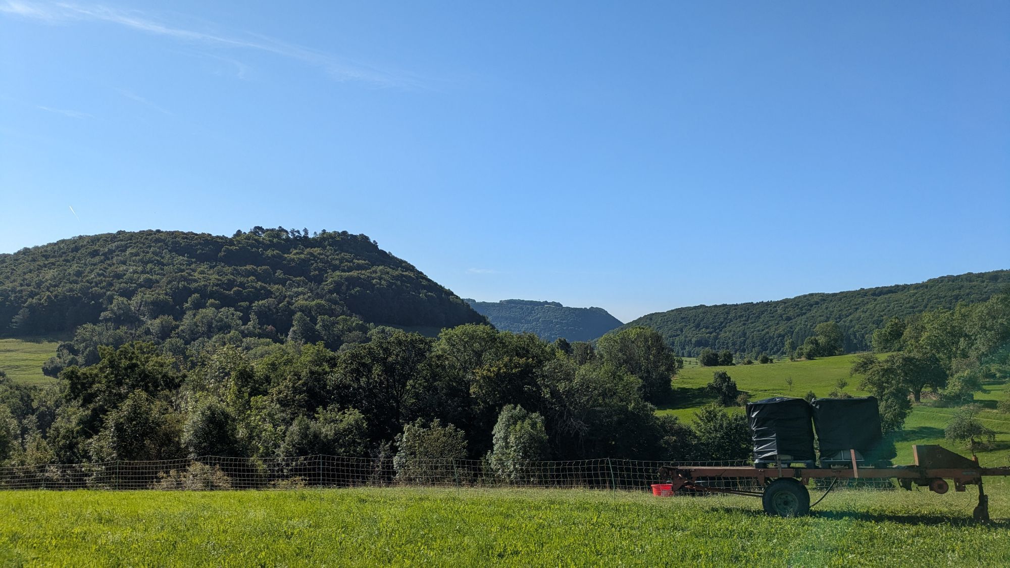
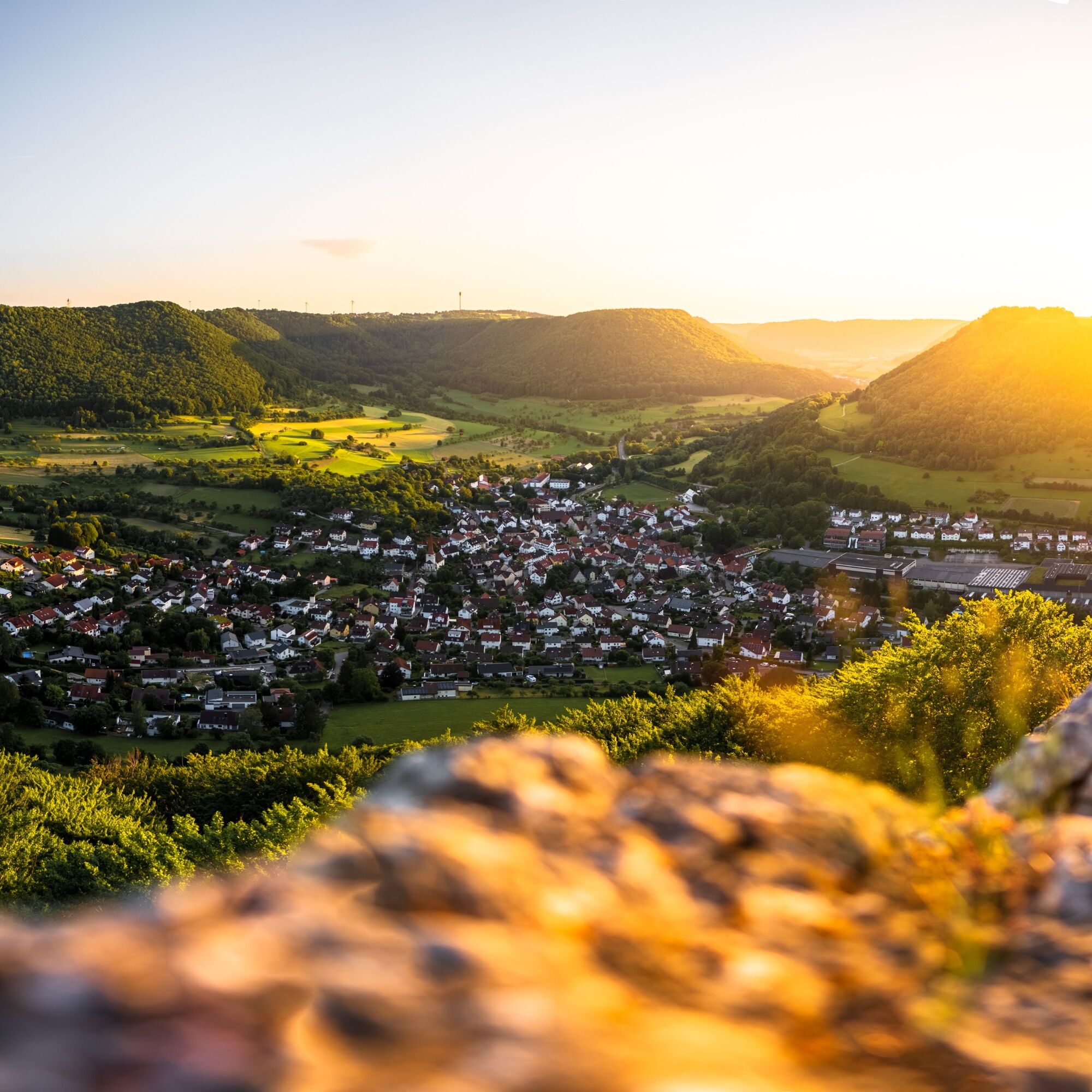
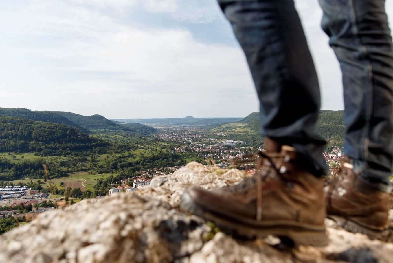
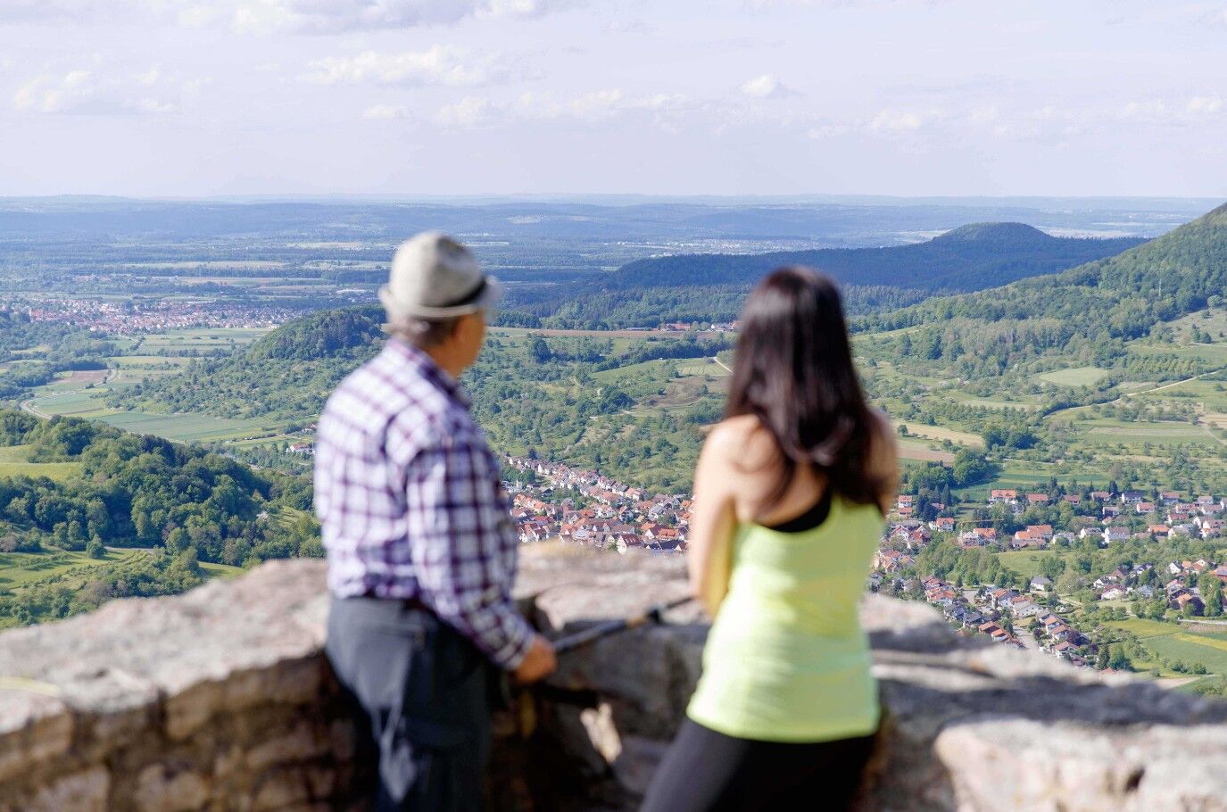
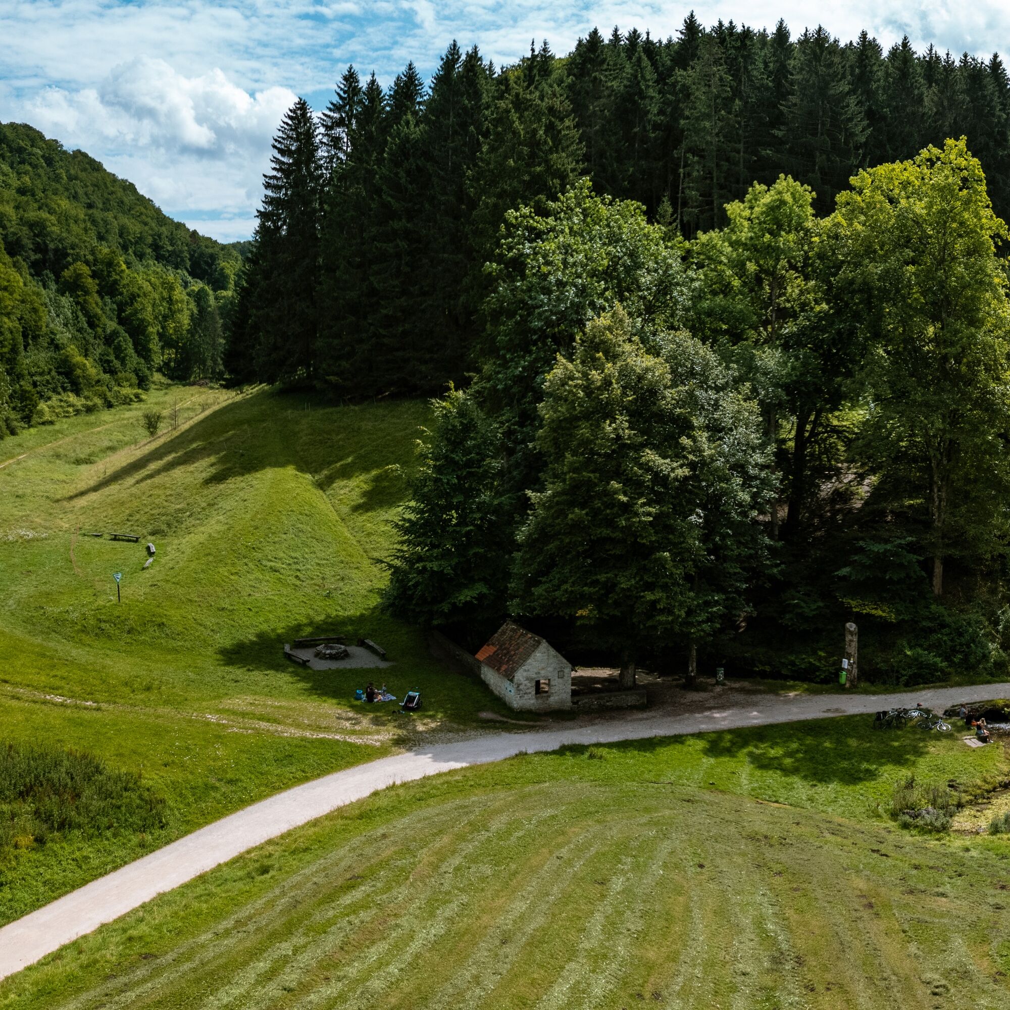
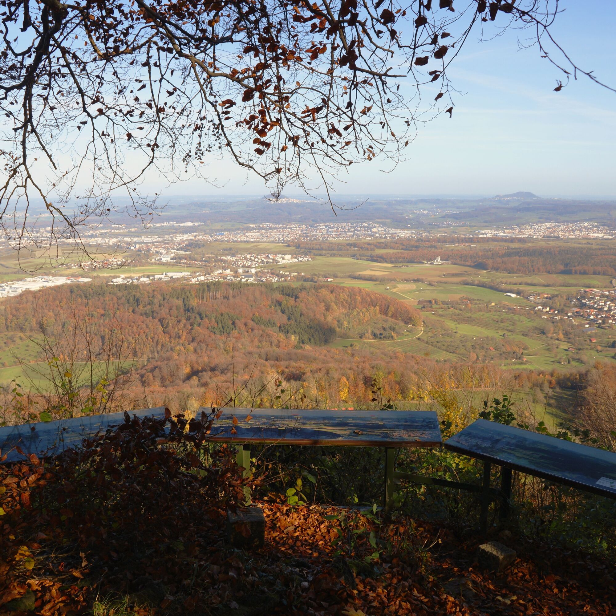
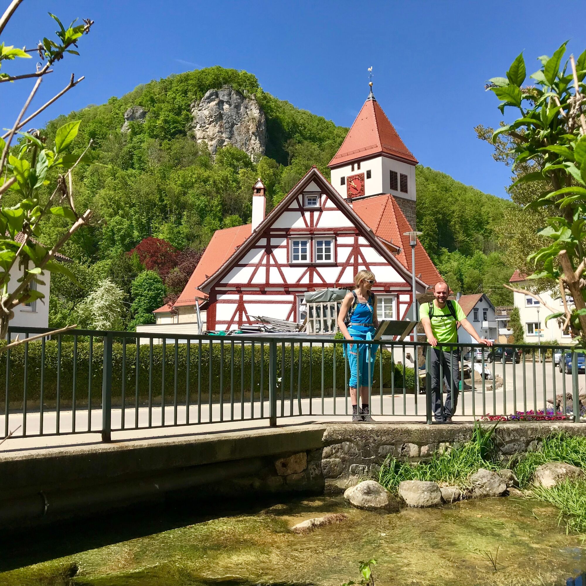
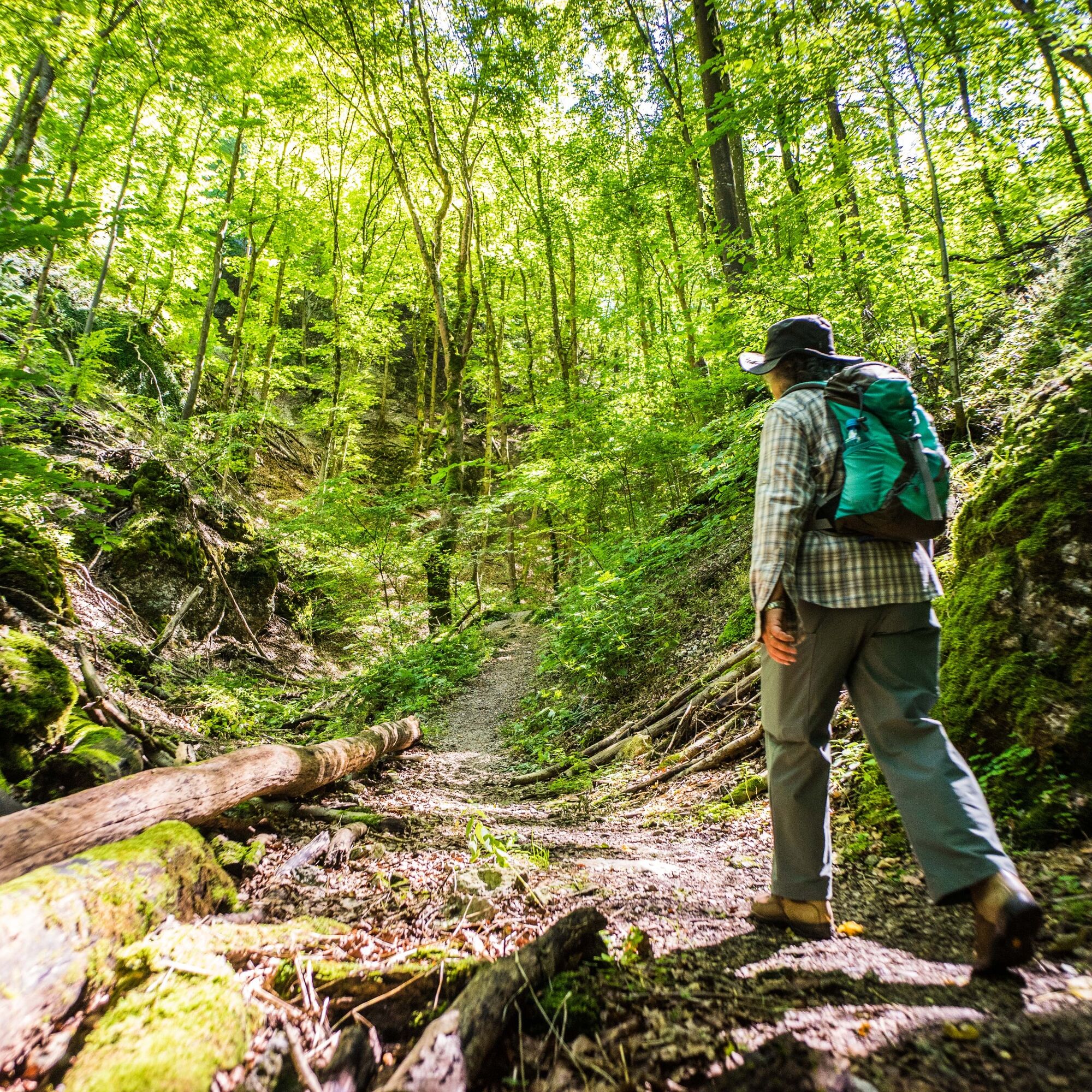
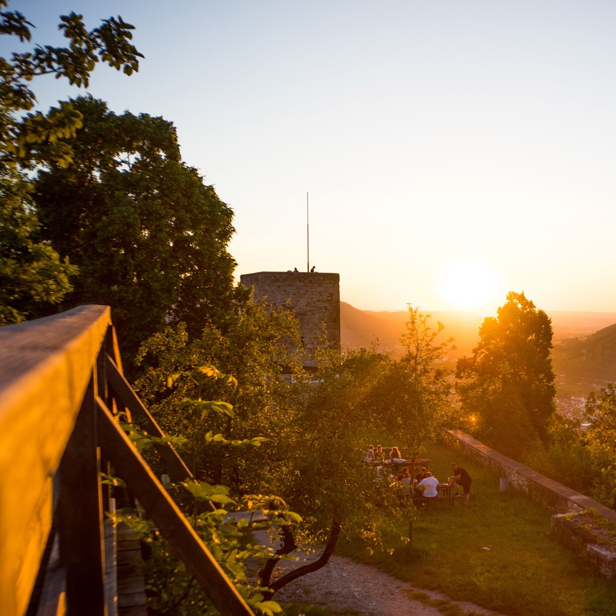
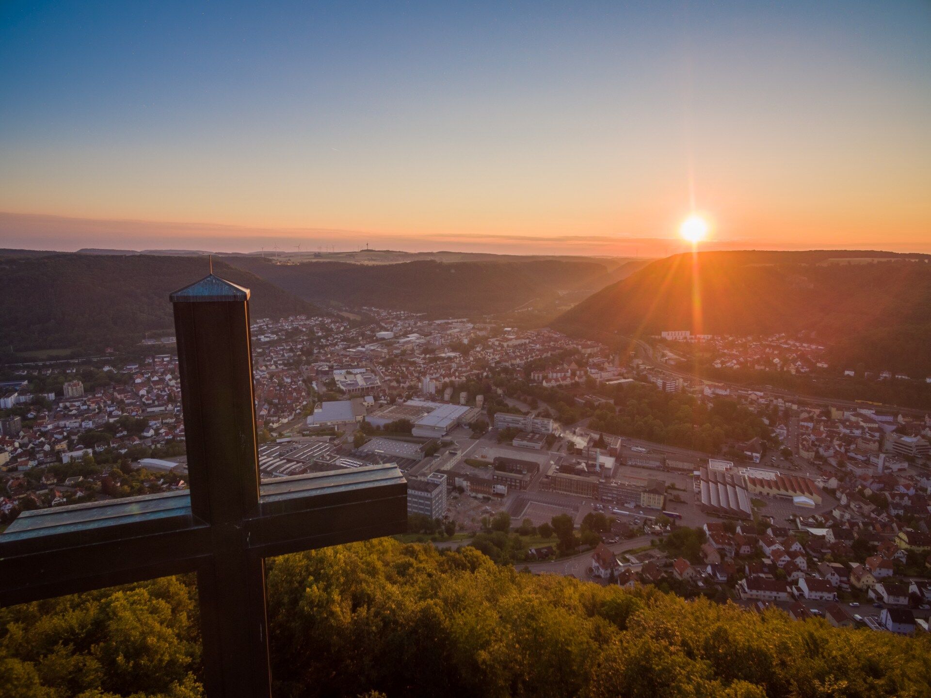
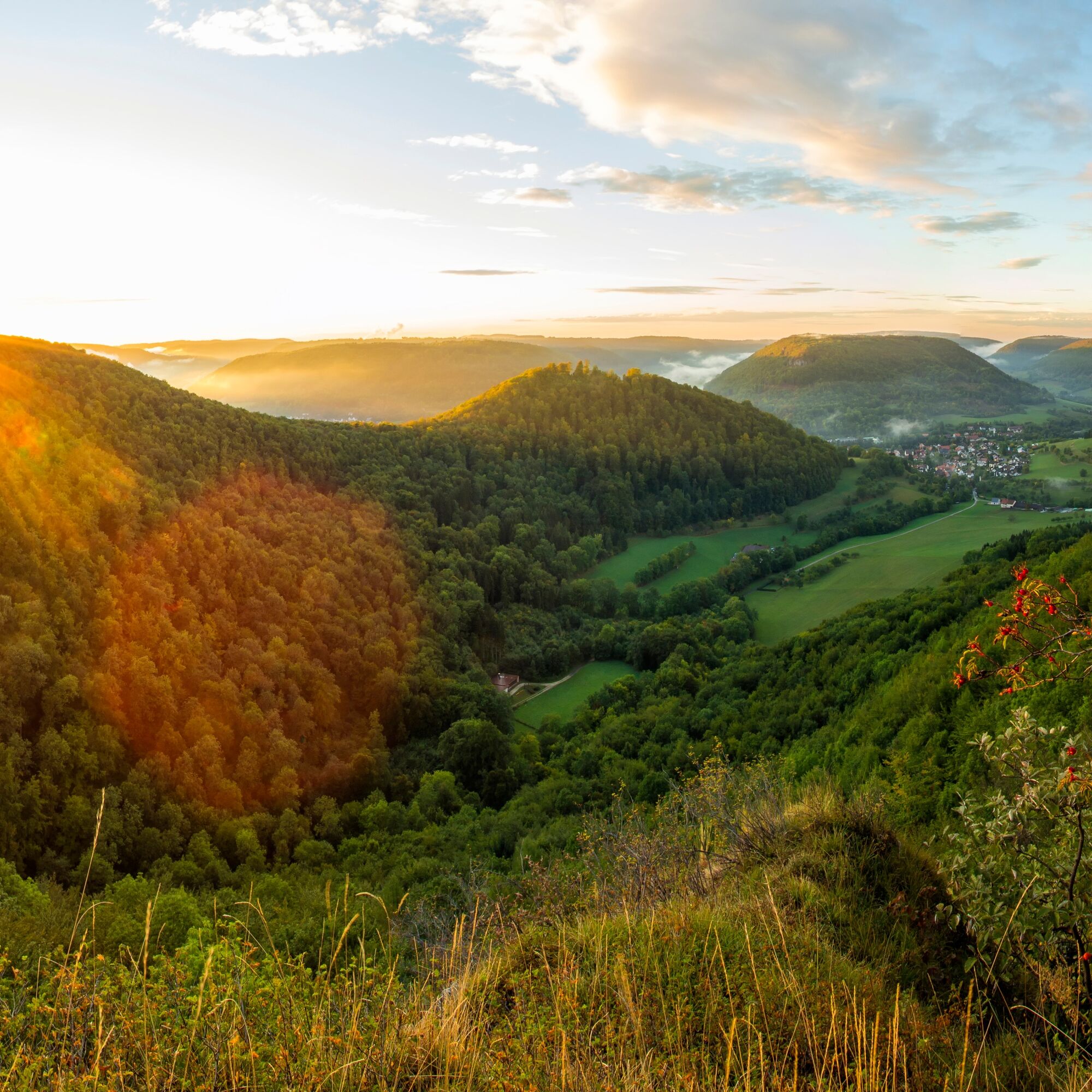
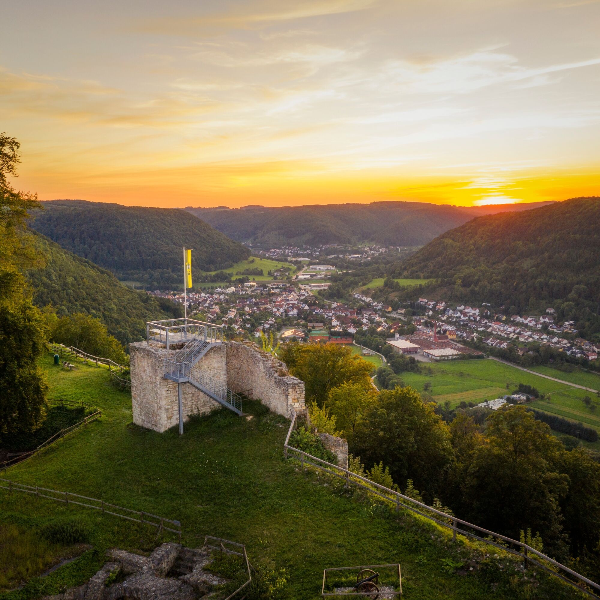
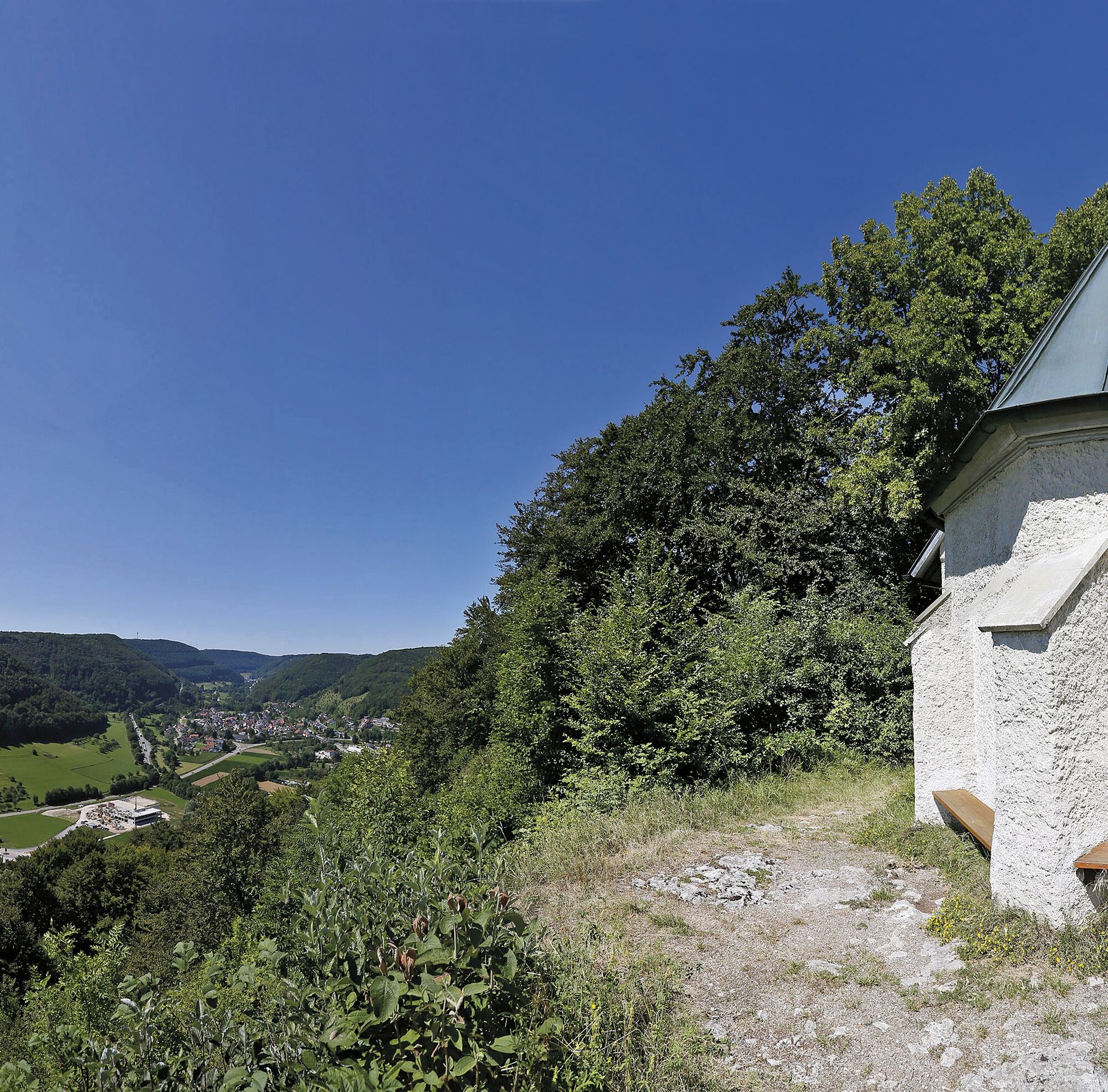
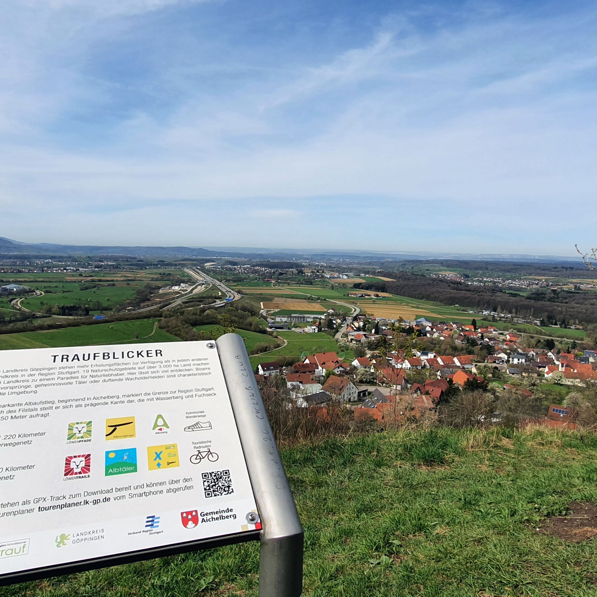
A characteristic feature of the Albtrauf walk is the constant alternation between panoramic mountain paths, quiet forest passages, open orchards and idyllic valleys. Again and again, wide panoramic views open up over the foothills of the Alb, into the Filstal valley and to prominent points in the Swabian Alb. To the south of the Filstal valley, the Albtrauf with Wasserberg and Fuchseck rises around 350 meters steeply out of the landscape and characterizes the trail over long stretches.
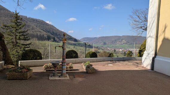
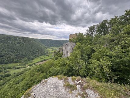
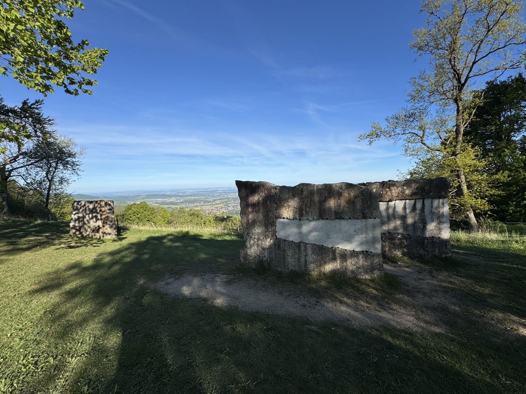
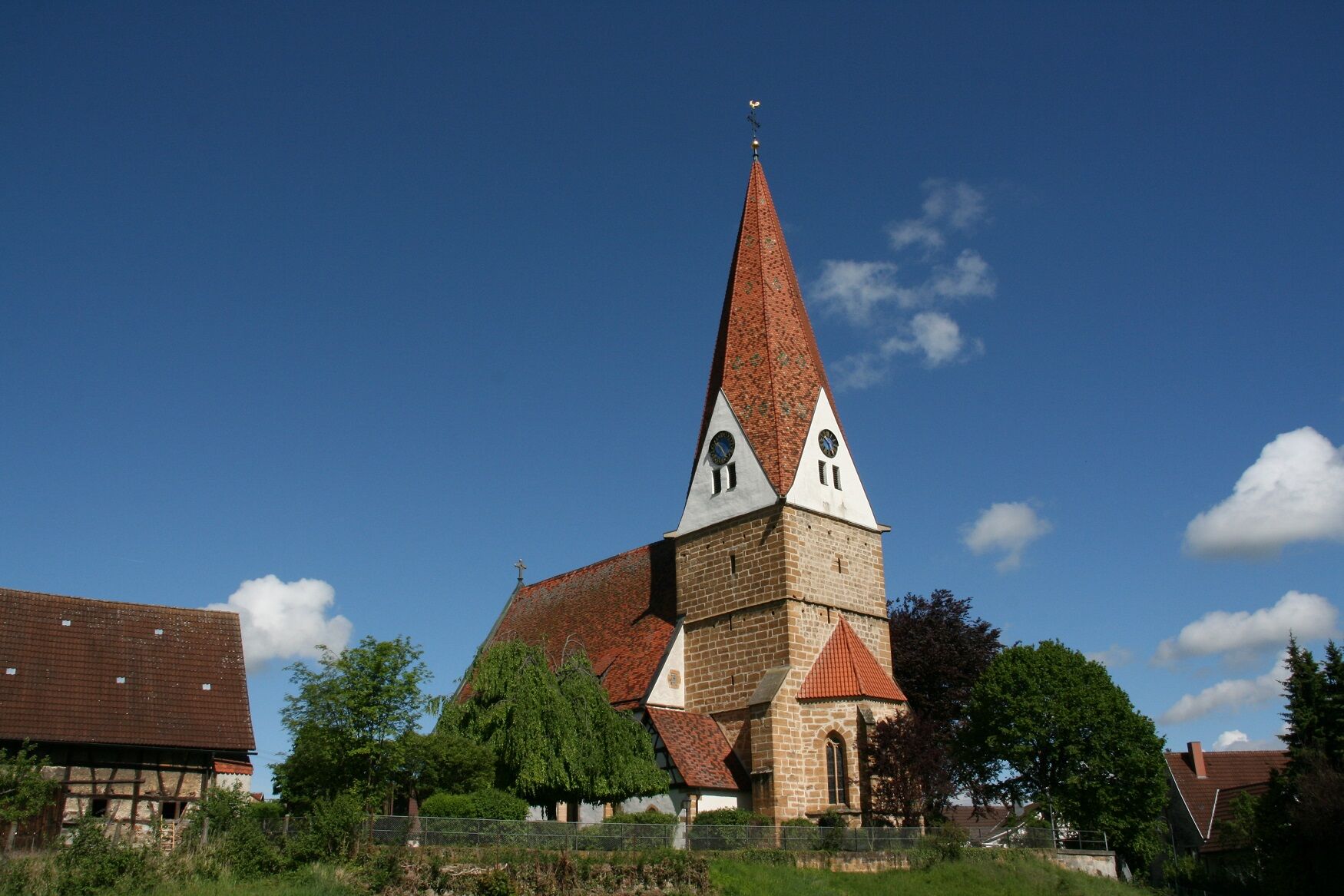
The Albtraufgänger combines nature, culture and enjoyment. Along the route are historic towns, castle ruins, spiritual places and geological features. Regional refreshment stops, traditional specialties and cultural sights complete the hiking experience.
If you want to get to know the Swabian Alb in all its facets - from spectacular viewpoints to places steeped in history and scenic diversity - the Albtraufgänger is a challenging yet enjoyable long-distance hiking trail.
Swabian Albtrauf Adventure Region e.V.
Weberstraße 7 | 73084 Salach
07162 70414-20 | info@mein-albtrauf.de | www.mein-albtrauf.de

The route description can be found at the respective stage.
sturdy shoes, weatherproof clothing.
The climbs require a head for heights, a good level of fitness and surefootedness, especially in wet conditions.
Wiesensteig is located directly on the BAB A 8 Stuttgart-Munich: Take the Wiesensteig/Mühlhausen exit. From Mühlhausen im Täle it is another 4 km to Wiesensteig.
Navigation to the starting point with Google Maps
Various starting points for the different stages. You can find the circular timetable at: www.vvs.de/fahrplan
Parking facilities are noted at the respective stages. For stage hikers, the parking lot at the outdoor pool or the parking facilities along the mountain road are particularly suitable for longer parking.
T2
Code of conduct:
Respect trail closures and the quiet zones developed in the leisure trail concept. Leave no traces such as garbage and animal droppings, treat your path with care. Act with foresight and consideration. Adapt your behavior to the situation at hand. Safety first. Respect other users of the forest and meadows. Be considerate of animals and plants. Plan ahead and make the most of daylight. Try to avoid dusk in the morning and evening. Observe the ban on entering agricultural land during the growing season. Stay on the designated paths and avoid the edges of the forest so that wild animals can get used to people better.More information at ruecksicht-macht-wege-breiter.de
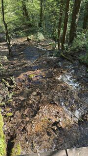
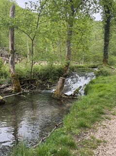
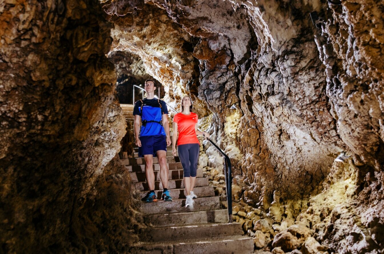
Filsursprung, Wiesensteig
Residential palace, Wiesensteig
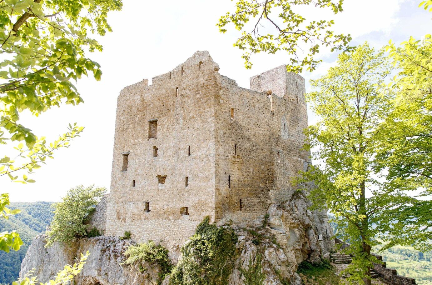
Reußenstein ruins, Wiesensteig
Collegiate church of St. Cyriakus, Wiesensteig
Century stone, Gruibingen
Tempele, Bad Boll
Historic workers' settlement, Kuchen
Helfenstein castle ruins, Geislingen/Steige
Kahlenstein, Bad Überkingen
Ave Maria pilgrimage church, Deggingen
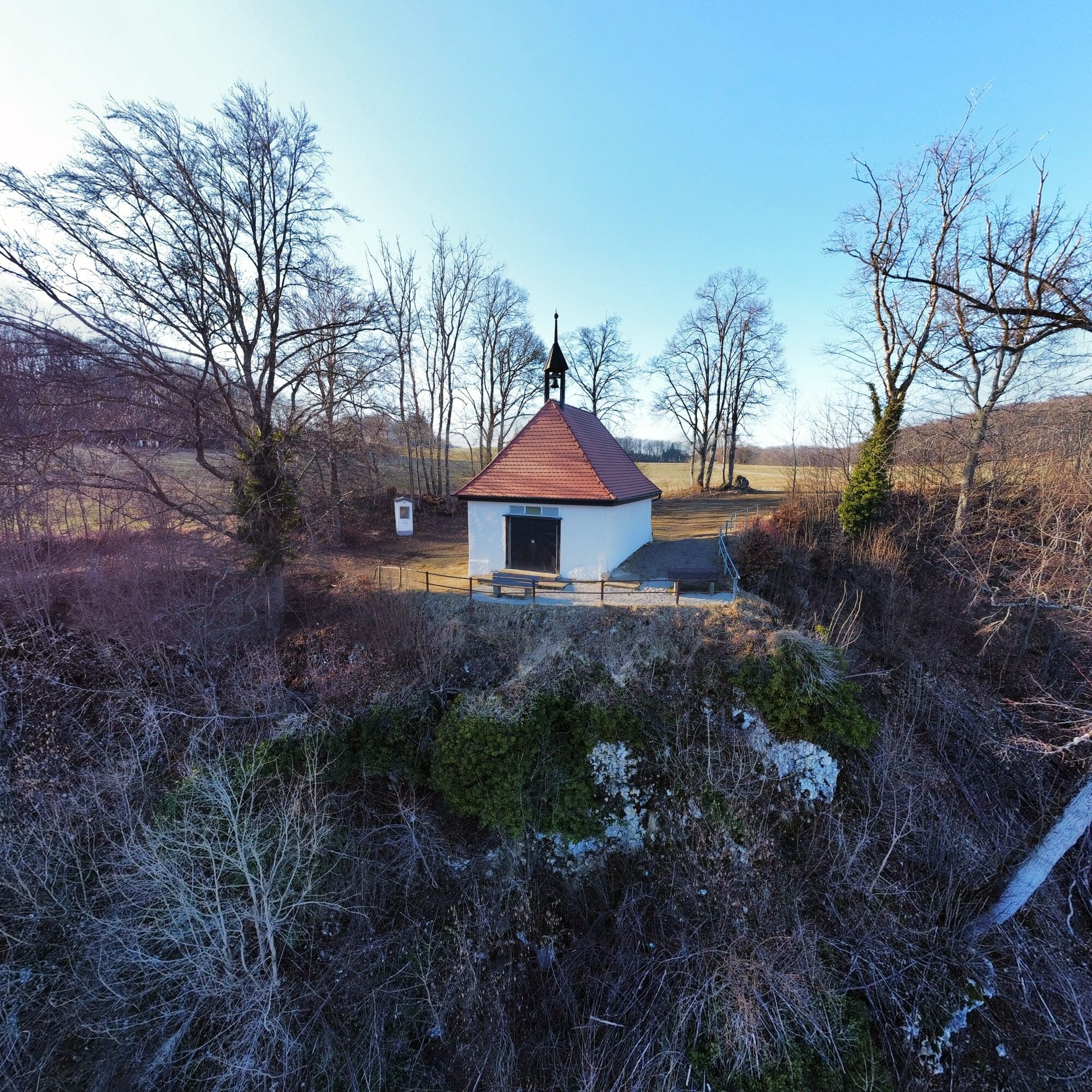
Buschel Chapel, Deggingen
Hiltenburg castle ruins, Bad Ditzenbach
Webové kamery z prehliadky
Obľúbené výlety v okolí
-
4,5
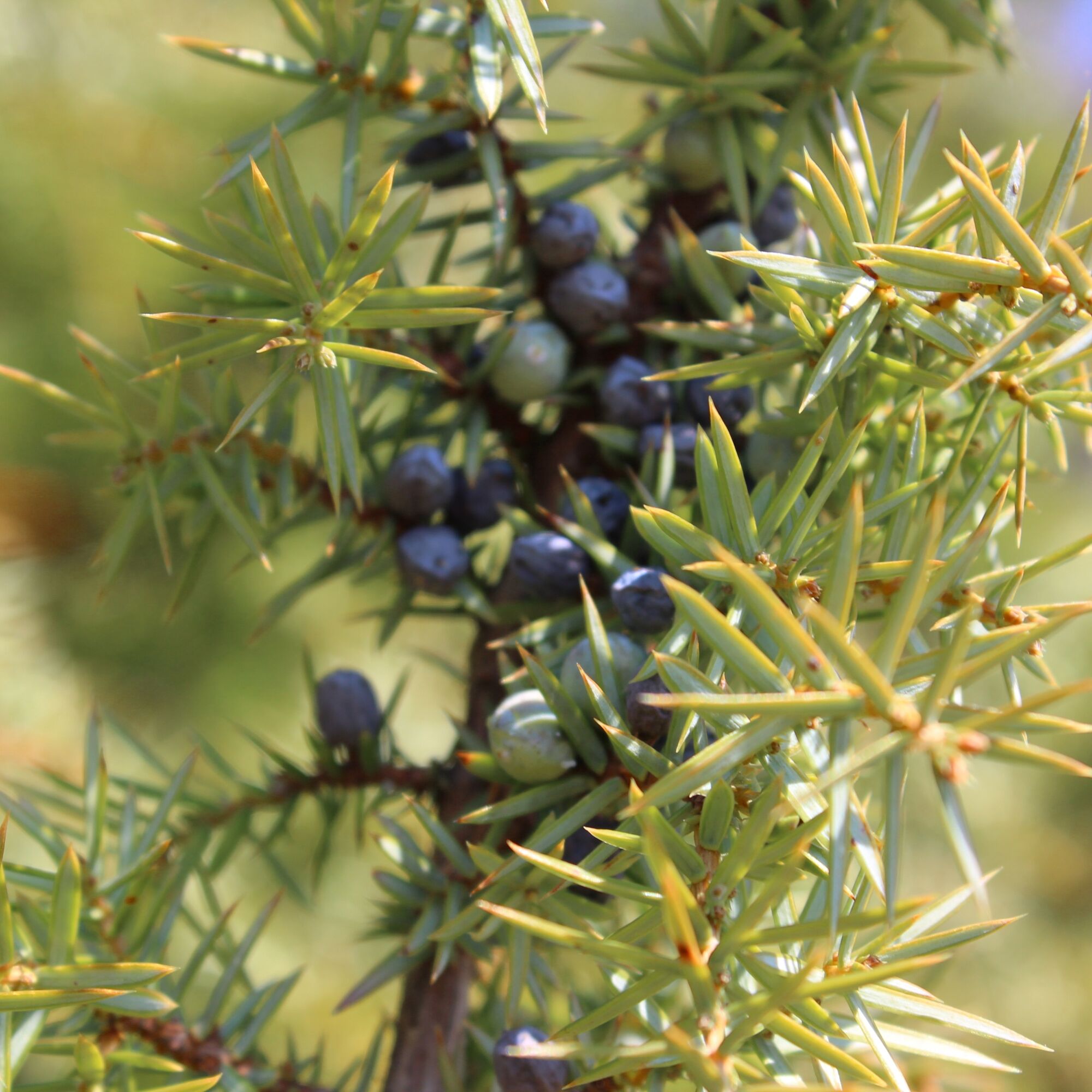
Löwenpfad "Orchideenpfad" - Herbs, Pasqueflower and Juniper Heathlands
strednáTuristika 9,33 km -
4,8
Löwenpfad "Filsursprung-Runde" - pure nature around the Reußenstein
strednáTuristika 14,1 km -
5,0
Lion trail "Berta-Hörnle-Tour" - castle stories in a dreamlike setting
ťažkéTuristika 14,7 km -
4,4
Löwenpfad "Geislinger Felsen-Tour" - up and down through the Eybach valley
strednáTuristika 10,8 km -
4,5
Löwenpfad "Weitblick-Tour" - High up and far-reaching view
ťažkéTuristika 12,0 km -
4,7
Löwenpfad "Filstalgucker" - views from the heart of the Filstal valley
strednáTuristika 13,0 km -
5,0
Boßler circuit
strednáTuristika 8,59 km -
3,7
Löwenpfad "Wasserberg-Runde" - pure panorama and typical Swabian Jura landscapes
ťažkéTuristika 12,0 km -
3,5
Lion trail "Messelberg tour" - hiking with impressive views
strednáTuristika 7,72 km -
4,3
Lion Trail "Steigen Tour" - Along the Swabian construction of the century
ťažkéTuristika 16,1 km

Turistika a stopovanie


Nenechajte si ujsť ponuky a inšpiráciu na ďalšiu dovolenku
Vaša e-mailová adresa bol pridaný do poštového zoznamu.