


Löwentrail "Schurwald Route" - trail paradise between the Fils and Rems valleys
Úroveň náročnosti: S2


Dear biker,
The magical symbol of the Swabian Alb – the most historically significant low mountain range in Germany – is the unique Lion Man. The lion stands for power and dignity, pride and strength,...
Dear biker,
The magical symbol of the Swabian Alb – the most historically significant low mountain range in Germany – is the unique Lion Man. The lion stands for power and dignity, pride and strength, and is found in the coat of arms of the state of Baden-Württemberg. Numerous stories revolve around the "king of the animals" and invite you to discover the Alb with its diversity.
In the district of Göppingen, you can follow the tracks of the lion not only on foot: The Löwentrails stand for mountain biking in a varied natural setting and entice with impressive views and mysterious places.
The three circular routes between 16 and 30 kilometers in length primarily offer optimal conditions for beginners and e-mountain bikers and skillfully showcase the variety of the Albtrauf. The trail sections are moderate, so technical skills are not a prerequisite for riding the loops. The focus is on the fun of bike sport alongside challenging climbs and the attractive landscape.
Cozy places to stop, three recognized spa towns, and optimal transport connections make the unique landscape around the "double Albtrauf" shaped by the Fils a lion-strong experience.
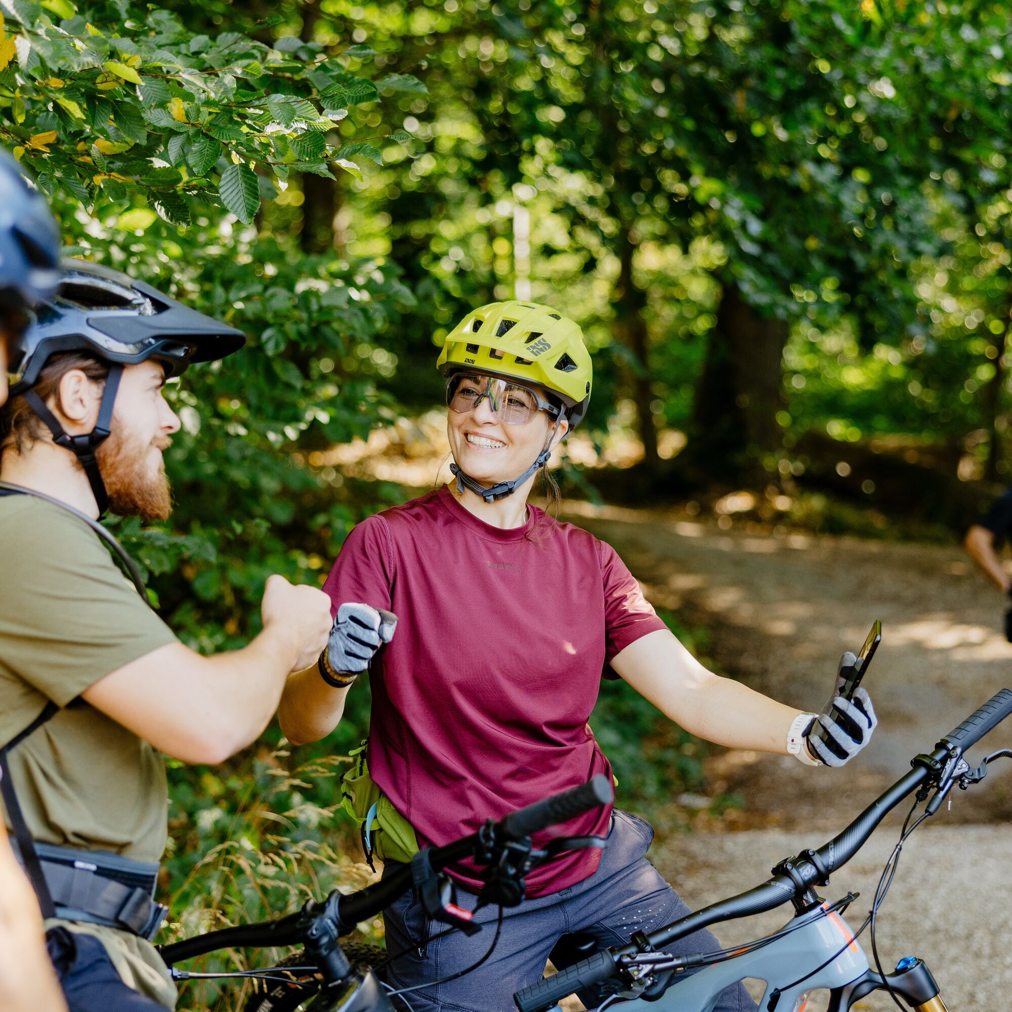
You, too, enter the lion's territory and make it yours!

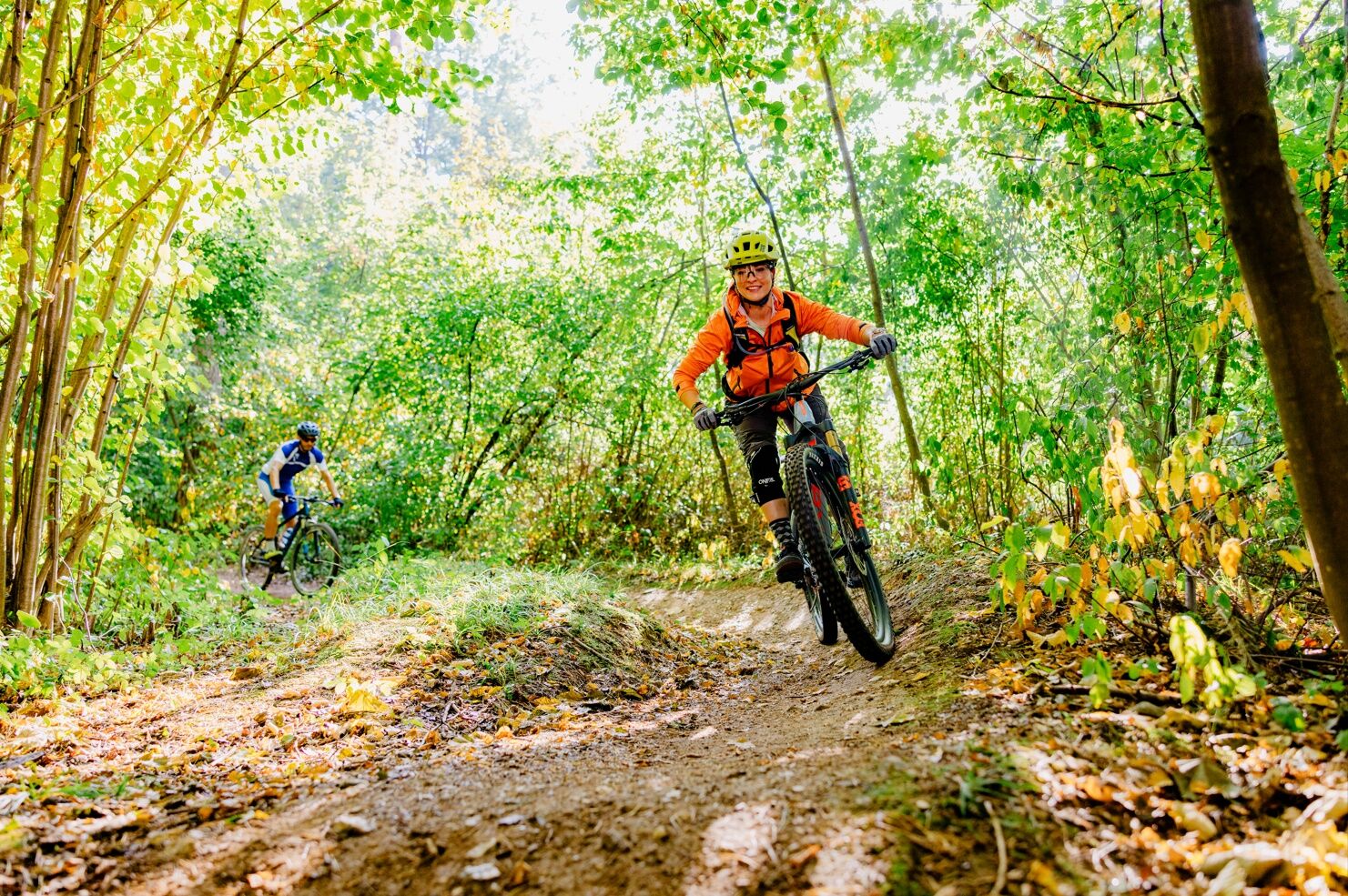


The start of the route is possible either at the elementary school in Nassachmühle, the Bärentobel parking lot, or the parking lot at the old fitness trail (coming from Ebersbach/Fils in the direction of Krapfenreut). From there, follow the signs for the "Schurwald Route." From the elementary school in Nassachmühle, go a short distance along Nassachtalstraße until we turn right at the fountain. We follow this path until we enter the first trail, briefly downhill, and then continue to the Bärentobel intersection. Attention: This trail is a shared trail. Pedestrians and hikers generally have the right of way here.
Then we continue uphill towards Nassach until we turn onto the second trail, the Bärentobel trail. It is initially rooty and later equipped with steps. We arrive at the Bärentobel parking lot and follow the path over Nassachtalstraße up the hill. Some fitness is required here, as this section is partly steep and long. At the top, we have a beautiful view of the Albtrauf.
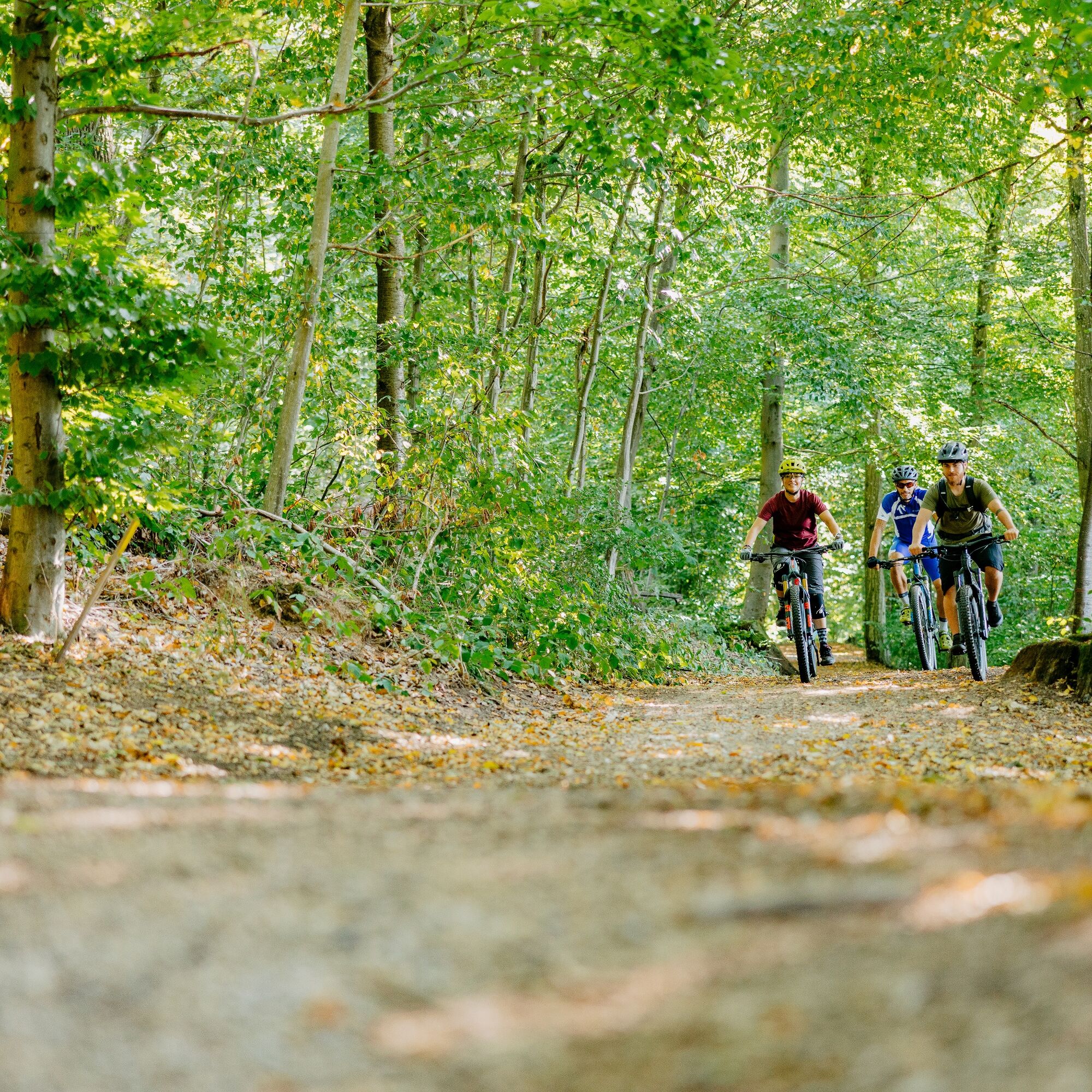
We cross the parking lot, which lies to the right, and continue towards the forest on the following single trail, first downhill, then briefly steeply uphill. After crossing the street, go about 20 meters to the left on the parking lot. There we see the entrance to the connecting trail. At the end of the trail, we turn left uphill to the junction to the next trail. This is again well signposted. Arriving there once more, we ride down the gravel path on the left into the valley. This idyllic path runs along the brook until the junction to the Ebertrail, over current steps and then up a private path. This way to the Ebertrail is clearly marked with artistically carved wooden boars.
Now we have arrived at the Ebertrail and can ride it. The Ebertrail is a beautiful flow trail dotted with various difficulties – all obstacles are rollable. At the end of the trail, follow the wooden boars again, which lead us back to the already ridden ascent.
After crossing Krapfenreuter Straße, continue straight ahead towards Uhingen. After a beautiful trail through the forest and over a meadow, we arrive at Diegelsberg. The path there is a lovely panoramic path offering views over Neuffen, Teck, and the Albtrauf. It passes the TV home of TV-Diegelsberg. You can stop here on Sundays. Then continue downhill following the signs towards the Bärentobel parking lot and back to the starting point via the shared trail until the end at Nassachmühle.
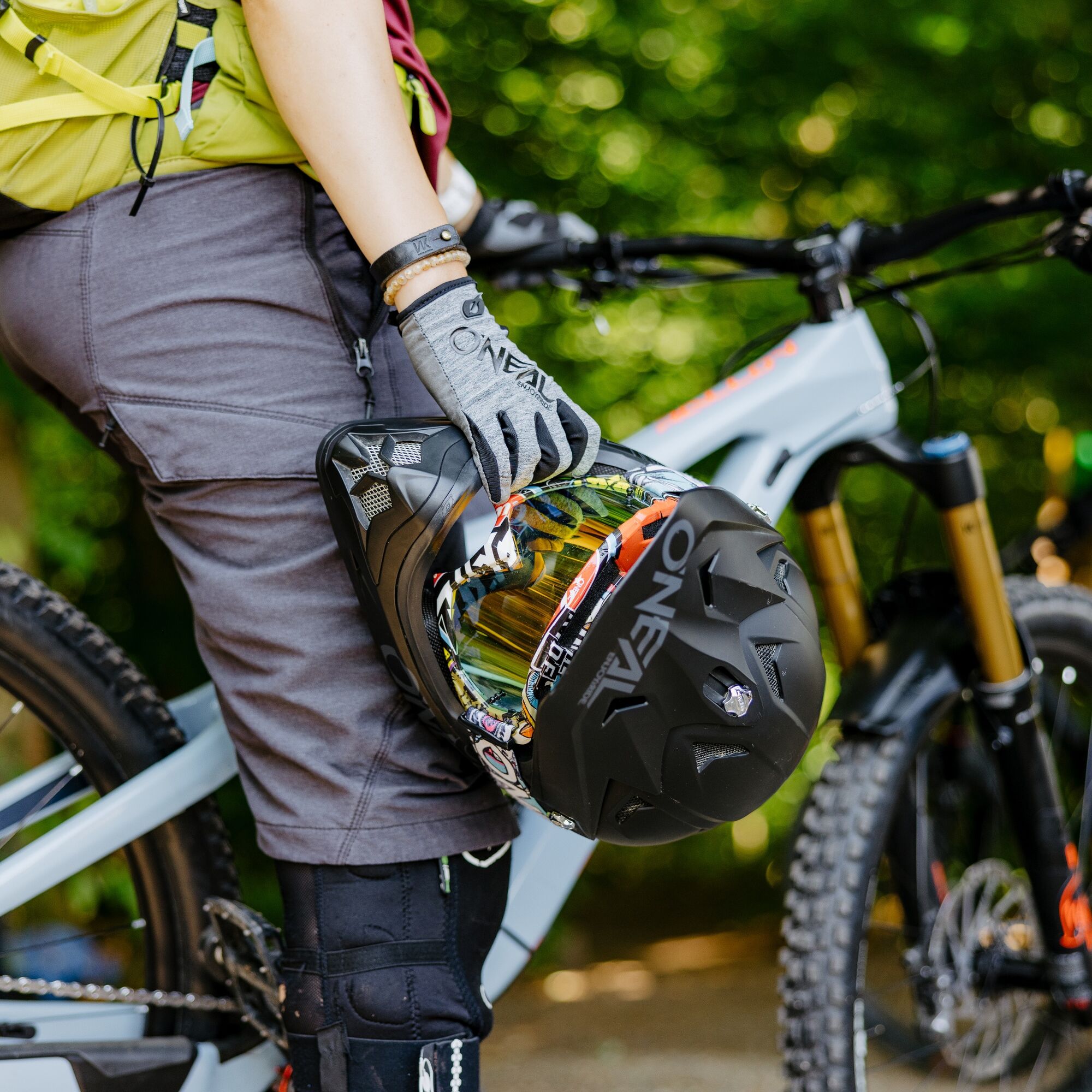
Mountain bike, bicycle helmet
Rules for using the Ebertrail
Helmet is mandatory on the route Use of the route is at your own risk The route is only to be ridden downhill and closed for uphill traffic Follow the signs and instructions of authorized personnel Pay attention to typical forest hazards Stop only at visible locations Allow faster riders to pass if possible, but slower riders must not be pressured Adjust your speed to your ability and the weather conditions Reduce speed at intersections and watch for other people Take your brought-along trash with you
In Göppingen, there is a connection to the MEX and RE trains of the Filstalbahn on the Stuttgart-Ulm line.
From Uhingen station, take bus line 918 to the stop "Uhingen Nassachmühle Schule".
You can find the district timetable at: www.vvs.de/fahrplan
Elementary school Nassachmühle, Bärentobel parking lot or former fitness trail
S2
Respectful coexistence in the Göppingen district.
Code of conduct:
Respect path closures and the quiet zones developed in the recreational paths concept. Leave no traces such as trash or animal droppings; treat your path gently. Act thoughtfully and considerately. Adapt your behavior to the situation. Safety comes first. Respect other users of forest and fields. Be considerate of animals and plants. Plan ahead and use daylight. Try to avoid dawn and dusk. Observe the prohibition of entering agriculturally used areas during the vegetation period. Stay on designated paths and avoid forest edges so that wildlife can better get used to humans.
More information at ruecksicht-macht-wege-breiter.de
Obľúbené výlety v okolí
-
4,9
Löwenpfad "Staufer-Runde" - Barbarossa's traces before a dreamlike backdrop
strednáTuristika 11,3 km -
5,0
Löwenpfad "Berta-Hörnle-Tour" - Castle stories in a dreamlike setting
strednáTuristika 14,5 km -
Löwenpfad "Spielburg-Runde" - Around the mountain Hohenstaufen
svetloTuristika 3,53 km -
5,0
Boßler circuit
strednáTuristika 8,59 km -
Mills & Lakes Route Adelberg
svetloTuristika 9,56 km -
4,0
Herrenstausee Runde
strednáTuristika 10,5 km -
Löwentrail "Teufelsloch-Runde" - up to Kornberg and Boßler
strednáMountainbike 29,8 km -
Albtraufgänger (Stage 2) *Trauf-Genuss*
strednáTuristika 23,1 km -
Anniversary route, Wäschenbeuren
strednáTuristika 10,4 km -
5,0
Von Fellbach nach Reichenbach an der Fils #LL2ROM_E021
strednáTuristika 23,4 km
Turistika a stopovanie


Nenechajte si ujsť ponuky a inšpiráciu na ďalšiu dovolenku
Vaša e-mailová adresa bol pridaný do poštového zoznamu.