







Hornberg/Lauterbach - To the Waldhäuser
Over the high plateau towards Mosenberg past the Waldhäuser, the route leads over a part of the Mittelweg through the Fohren forest.

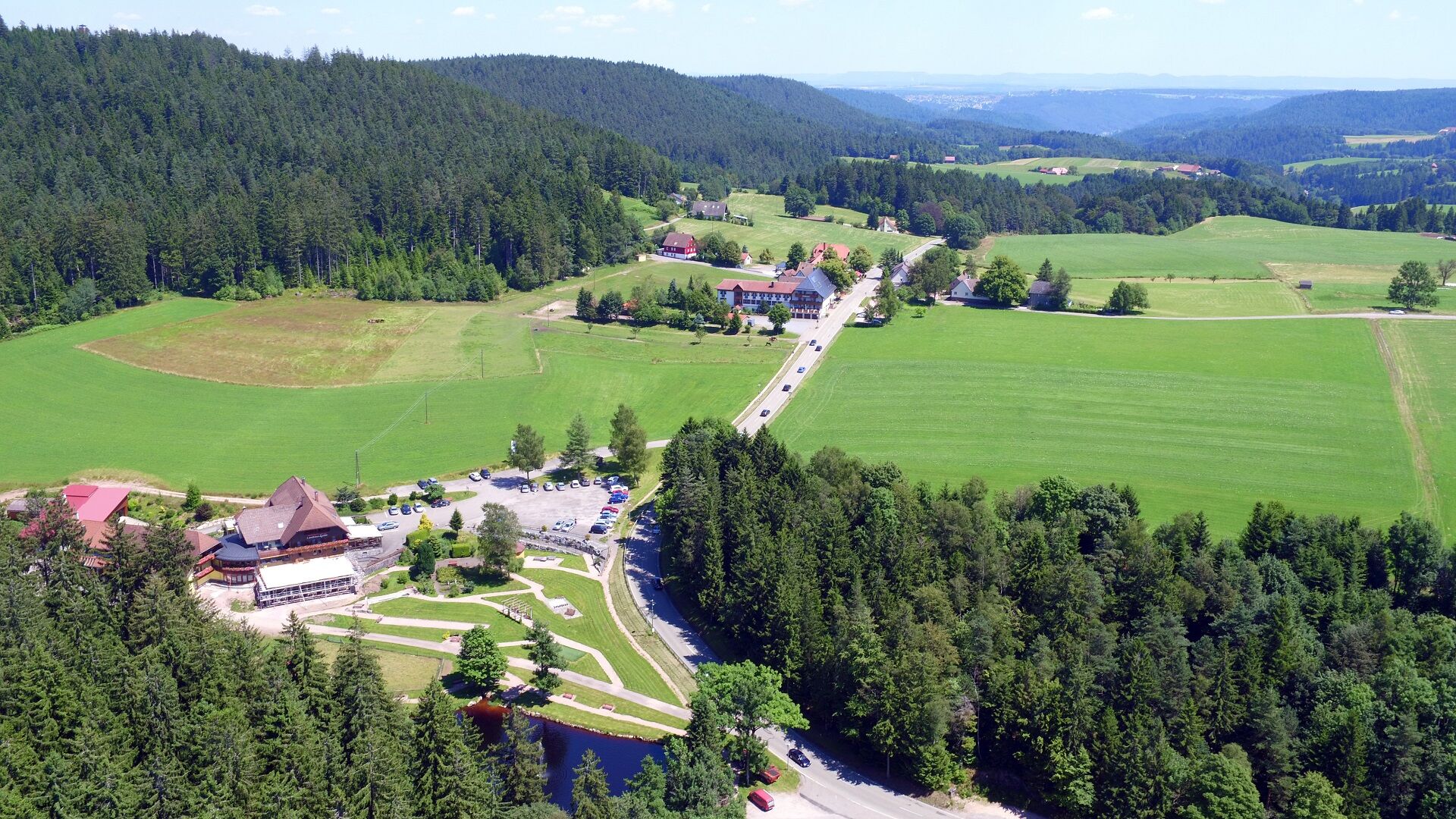
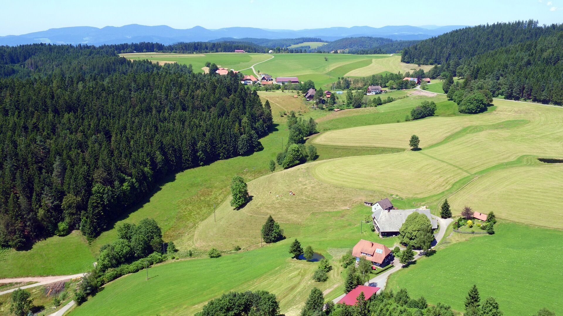
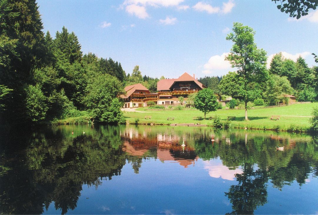

Starting at the hiking car park Fohrenbühl we follow the road towards Moosenmättle, shortly before which we leave it to the left at the next opportunity. We then reach a forest area first, continuing over a meadow to the Landhaus Lauble, which we pass. Past the pond by the Landhaus Lauble, we follow the road to the right towards Schonentieshof, which we pass. We continue the path keeping right until the Mooswald road junction. There, we follow the road to the left direction to Mooswaldgut. Turning left we reach Beizenbach from there, and to the right further to the Vorderer Mosenberghof. Immediately after this farm, we come to the left to the Hinterer Mosenberghof, where we follow the road to the Moosenberg junction. Following the road towards Fohrenbühl, we see the Waldhäuser housing group diagonally to the left, towards which we walk. Shortly before the Waldhäuser, we take a hiking path to the right back to the starting point, the hiking car park Fohrenbühl.
From Lauterbach: Follow the L108 towards Hornberg. At the pass between Gasthaus Adler and Gasthaus Schwanen turn right, after a few meters the hiking car park is on the right side.
Bus stop Gasthaus Adler, about a 5-minute walk away.
Hiking car park Fohrenbühl
Tourist Information Hornberg
Bahnhofstr. 1-3
78132 Hornberg
Tel. 0 78 33 / 793 44
Fax. 0 78 33 / 793 29
tourist-info@hornberg.de
www.hornberg.de
Získajte prehľad
Vždy naživo na mieste s viac ako 9 500 webovými kamerami. bergfex Ako používateľ Pro si teraz môžete pozrieť príslušné webové kamery pre mnohé zájazdy v aplikácii zájazdy z. Môžete si tak priamo prezerať aktuálne podmienky.
Obľúbené výlety v okolí
-
4,8
Ortenau legend circular routes: Devil's Pulpit
strednáTuristika 10,2 km -
4,0
Triberger Wasserfälle naar Prizen
strednáTuristika 11,5 km -
4,8
AugenBlick-Runde Lauterbach Güntersberg
svetloTuristika 10,2 km -
3,0
Lauterbach High Valley Circuit in the hiking paradise Alb - Black Forest
svetloTuristika 10,7 km -
4,7
Waldsee circular route to the Urenkopf tower
strednáTuristika 7,30 km -
5,0
Wolfach settlers' loop large round
strednáTuristika 9,04 km -
Westweg - Westvariante
ťažkédiaľková pešia trasa 288,8 km -
5,0
Schiltach: Schenkenburg - Kaibach - Circular route
strednáTuristika 12,3 km -
3,5
Circular hike on the Black Forest Railway Experience Trail
strednáTuristika 6,56 km -
5,0
Premiumweg Wolfacher Schlossblick
strednáTuristika 7,12 km
Turistika a stopovanie


Nenechajte si ujsť ponuky a inšpiráciu na ďalšiu dovolenku
Vaša e-mailová adresa bol pridaný do poštového zoznamu.





