







Irene of Byzantium Trail
Úroveň náročnosti: T1
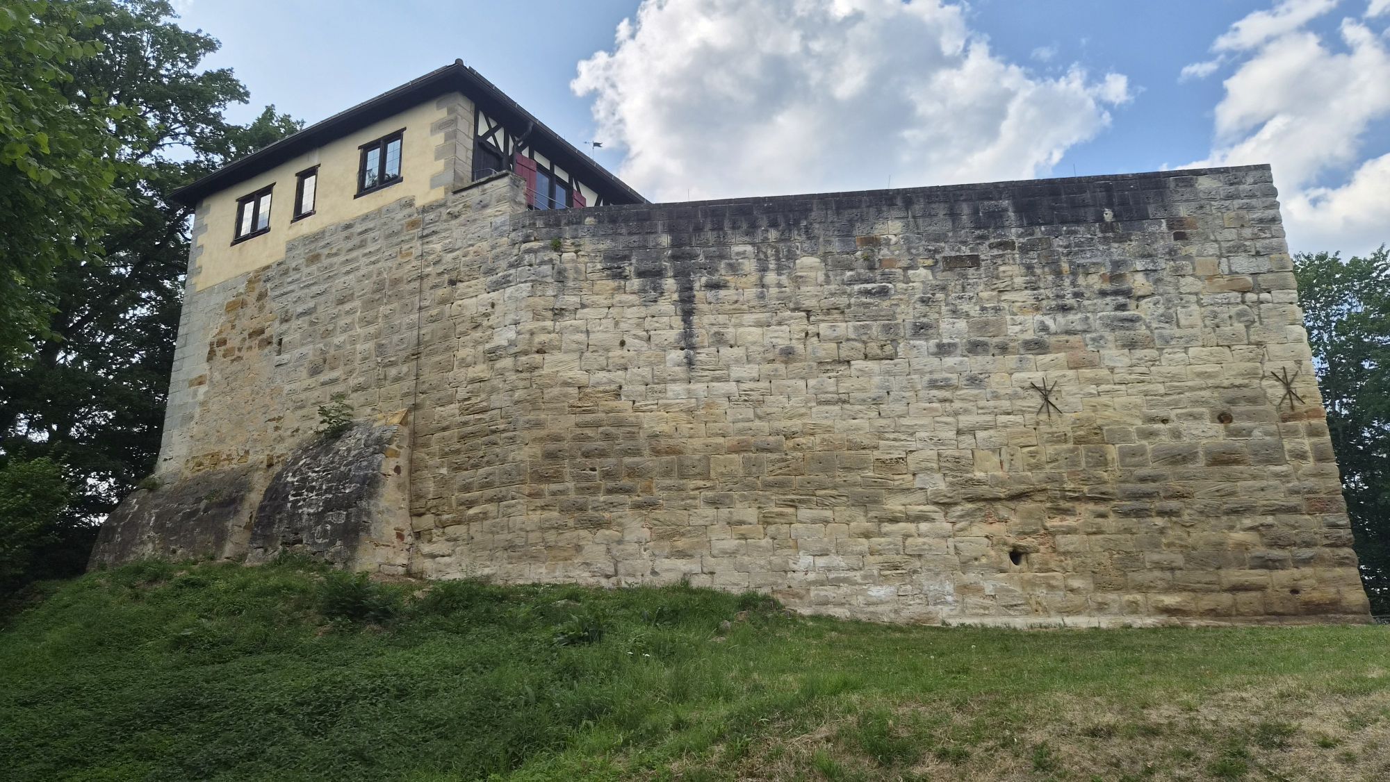
The Irene of Byzantium Trail connects the Hohenstaufen with Lorch Abbey and follows in the footsteps of the Byzantine Queen Irene Maria, wife of the Staufer King Philip of Swabia. This varied hiking route...
The starting point is the summit of the Hohenstaufen, home to the castle ruins and the Staufer stele. From there, the trail winds down through switchbacks to Maitis and continues through the idyllic Beutental valley to Wäscherschloss. The route then passes the Beutenhof on its way to Lorch, before ending at Lorch Abbey—Irena’s final resting place. Along the way, numerous lookout points, historic buildings, and cultural and historical landmarks invite you to linger.
The Irene-von-Byzanz Trail impressively combines nature, history, and the era of the Staufers, offering a varied hiking experience between two significant cultural monuments.

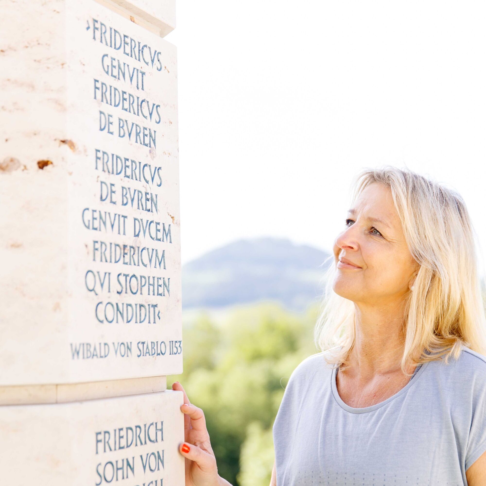
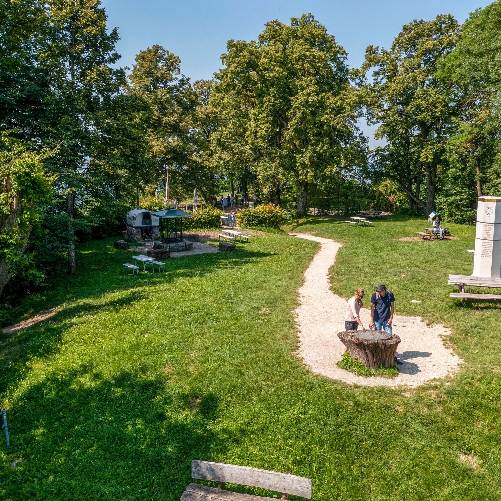
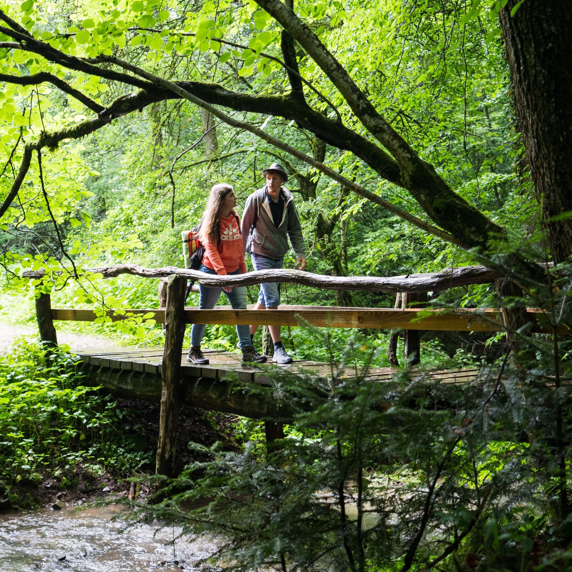
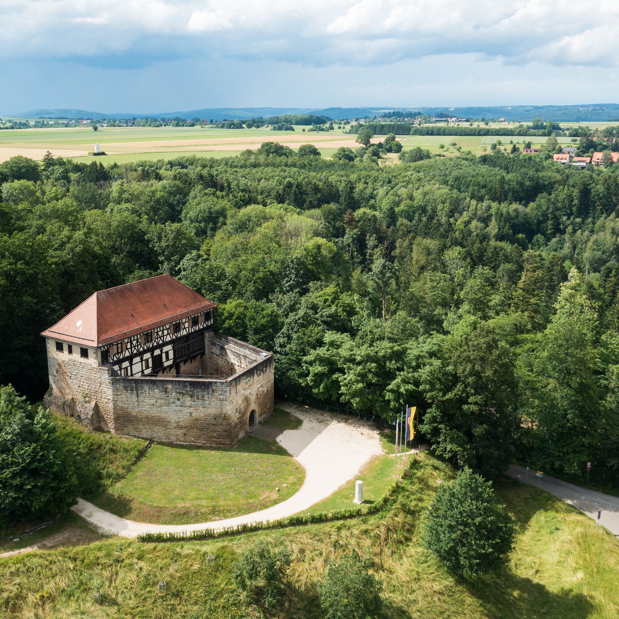
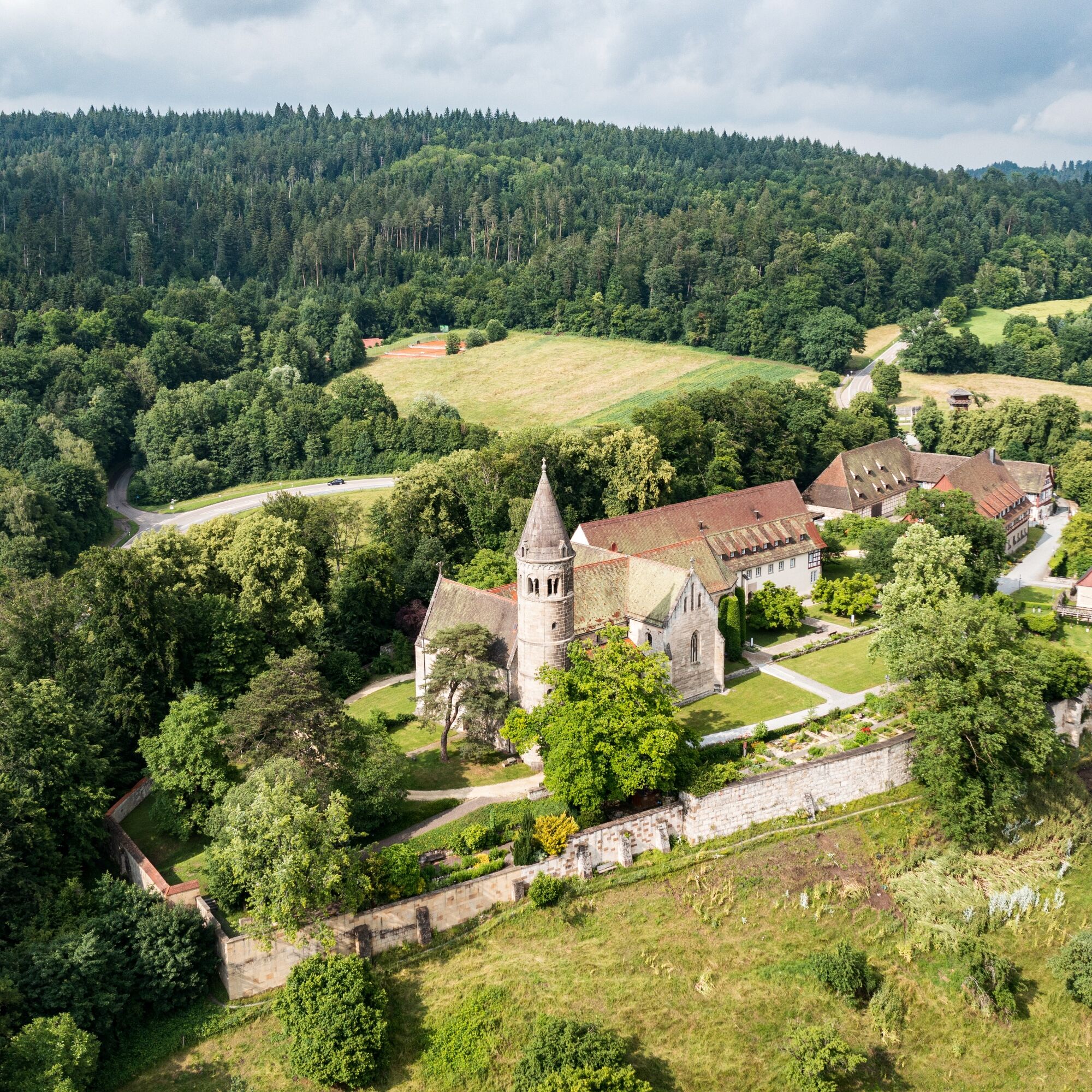

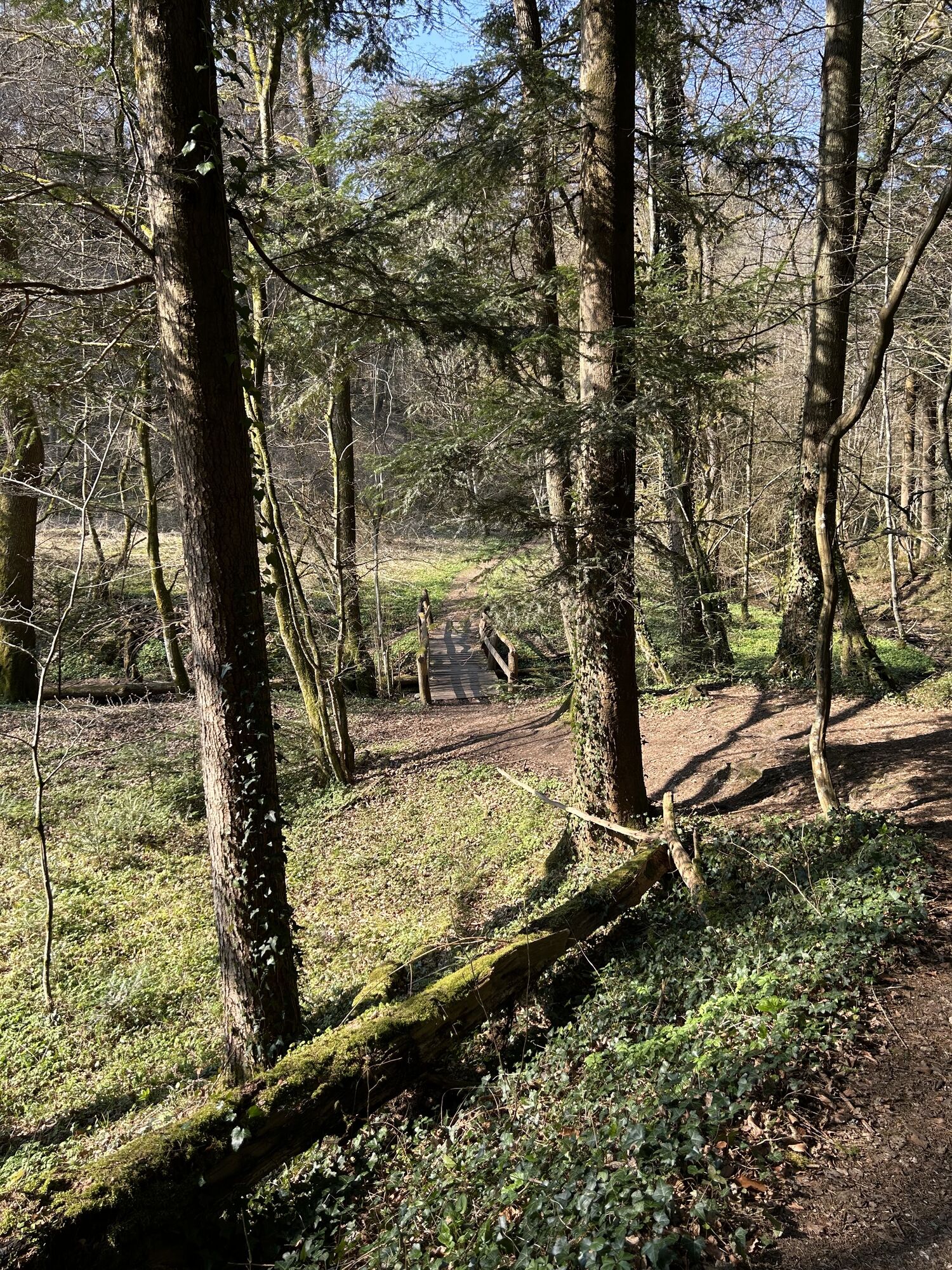
Just as the funeral procession for Queen Irene Maria of Byzantium once began, the hiking trail starts at the historic summit of the Hohenstaufen, very close to the imposing Staufer Stele. On the north side of this striking mountain, the trail winds its way down in switchbacks and continues down into the valley toward the Göppingen neighborhood of Maitis. Passing the charming St. Leonard’s Church, you hike along a rustic trail toward the Beutental valley, cross the Beutenbach stream on a small wooden bridge, and then climb up the opposite side to Wäscherschloss Castle. Back in the Beutental valley, the trail leads past the Beutenhof and finally into the Remstal valley, turning west toward the town of Lorch, which you’ll pass through. From there, the trail climbs up to Lorch Abbey, where the queen once found her final resting place and where the hiking trail ends.
Áno
Wear sturdy, non-slip shoes and weather-appropriate clothing. A backpack with water, snacks, and a first-aid kit is recommended.
When it's wet, some trails can be slippery and dangerous. Watch your step and use hiking poles for stability if necessary.
Coming from Stuttgart or Ulm on the B10, take the Göppingen exit (near Möbel Rieger), then follow Heininger Straße and Hohenstaufenstraße to Hohenstaufen.
From the A8, take the Kirchheim unter Teck-Ost exit onto the B297. In Bartenbach, take Lerchenberger Straße and follow the L1075 to Hohenstaufen.
You can find the district bus schedule at:www.vvs.de/fahrplan
At the Lorch Monastery parking lot
Parking is available directly in Hohenstaufen at the hiking trailhead parking lots. Please follow the signs in the parking guidance system.
T1
Code of Conduct:
Respect trail closures and the quiet zones established in the recreational trail plan. Leave no trace—such as trash or animal waste—and treat the trail with care. Be proactive and considerate. Adapt your behavior to the situation at hand. Safety comes first. Respect other users of the woods and open fields. Be considerate of animals and plants. Plan ahead and make the most of daylight. Try to avoid the early morning and evening twilight hours. Observe the ban on entering agricultural land during the growing season. Stay on marked trails and avoid forest edges; this helps wildlife get used to people.For more information, visit ruecksicht-macht-wege-breiter.de
Lorch Abbey
Beutental
Wäscherschloss
"The Staufers" Exhibition
Hohenstaufen Castle Ruins
Obľúbené výlety v okolí
-
4,5
Löwenpfad "Orchideenpfad" - Herbs, Pasqueflower and Juniper Heathlands
strednáTuristika 9,33 km -
4,9
Löwenpfad "Staufer-Runde" - Barbarossa's traces before a dreamlike backdrop
strednáTuristika 11,3 km -
5,0
Löwenpfad "Heldentour" - The king stage of the Löwenpfade
ťažkéTuristika 23,6 km -
4,5
Löwenpfad "Weitblick-Tour" - High up and far-reaching view
ťažkéTuristika 12,0 km -
3,5
Lion trail "Messelberg tour" - hiking with impressive views
strednáTuristika 7,72 km -
3,0
Three Emperors' Mountains Loop Hike
ťažkéTuristika 25,8 km -
4,5
Löwenpfad "Schloss-Filseck-Runde" - castle stories and lake dreams
svetloTuristika 3,97 km -
5,0
Blicklestour Lauterstein
ťažkéTuristika 13,8 km -
5,0
Path of Faith 15 - Heldenberg Trail
strednáTuristika 8,02 km -
5,0
Löwenpfad "Spielburg-Runde" - Around the mountain Hohenstaufen
svetloTuristika 3,53 km
Turistika a stopovanie


Nenechajte si ujsť ponuky a inšpiráciu na ďalšiu dovolenku
Vaša e-mailová adresa bol pridaný do poštového zoznamu.





